Dec 15th. Picture perfect Christmas card hike.

This post is out of sequence….but it just seemed like the perfect one to publish for Christmas…..so Merry Christmas and wishing much joy to all for all the holidays and festivities you care to celebrate..

A window had opened in the wintery weather promised for the week…..a day where it was going to be 1 deg C…but stable and with some sun…where the rest of the week forecast is lots of snow…and some perishing cold for the BC interior……lows of -9..(I can hear the chortling in Ontario and Calgary as you read this…!!)

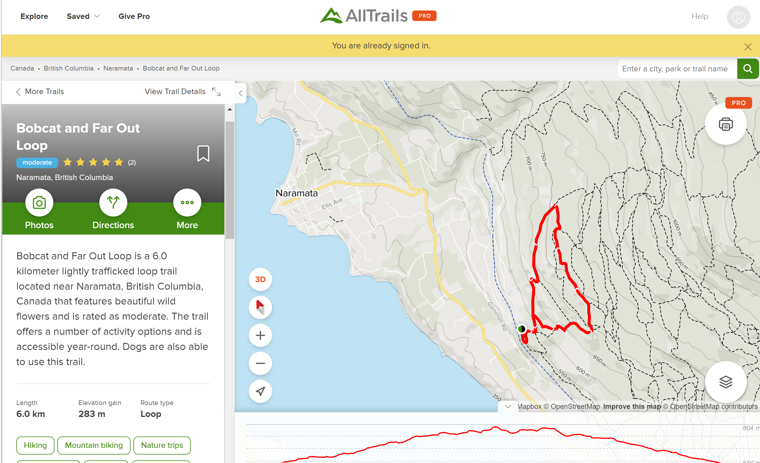
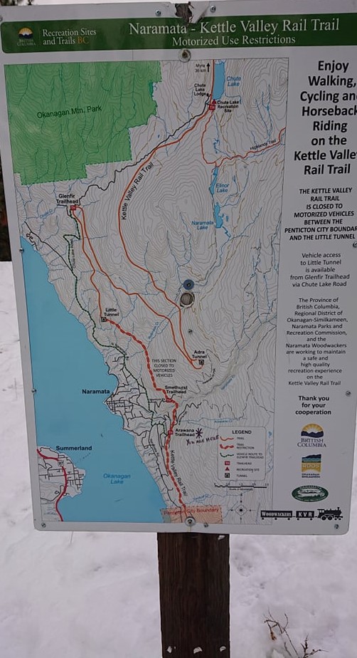
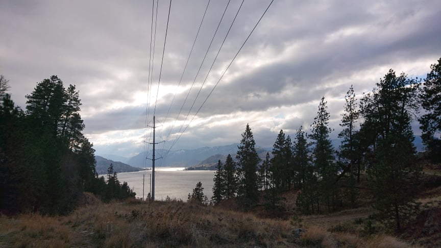
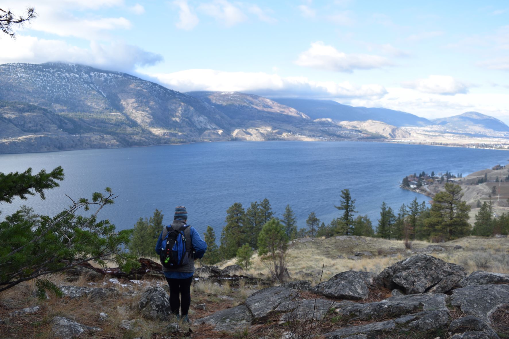
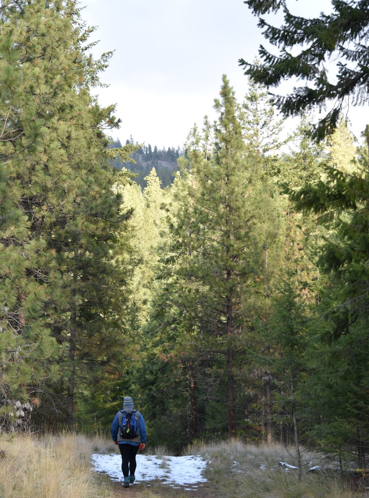
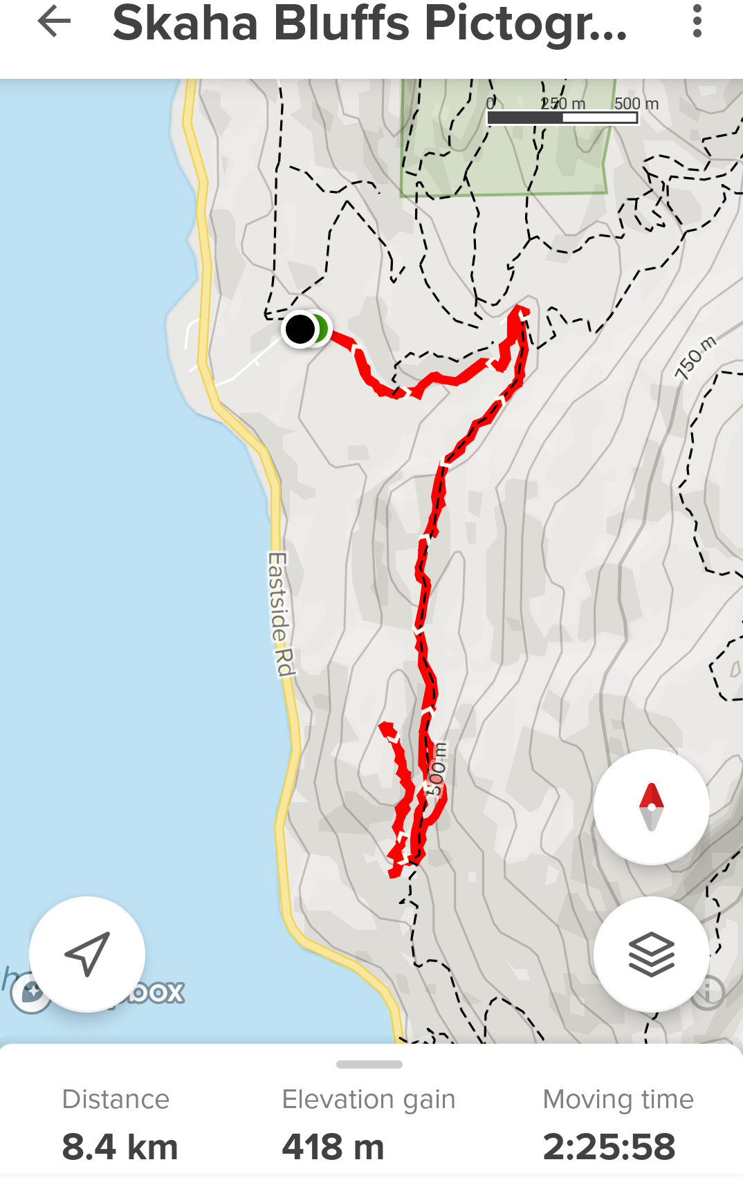
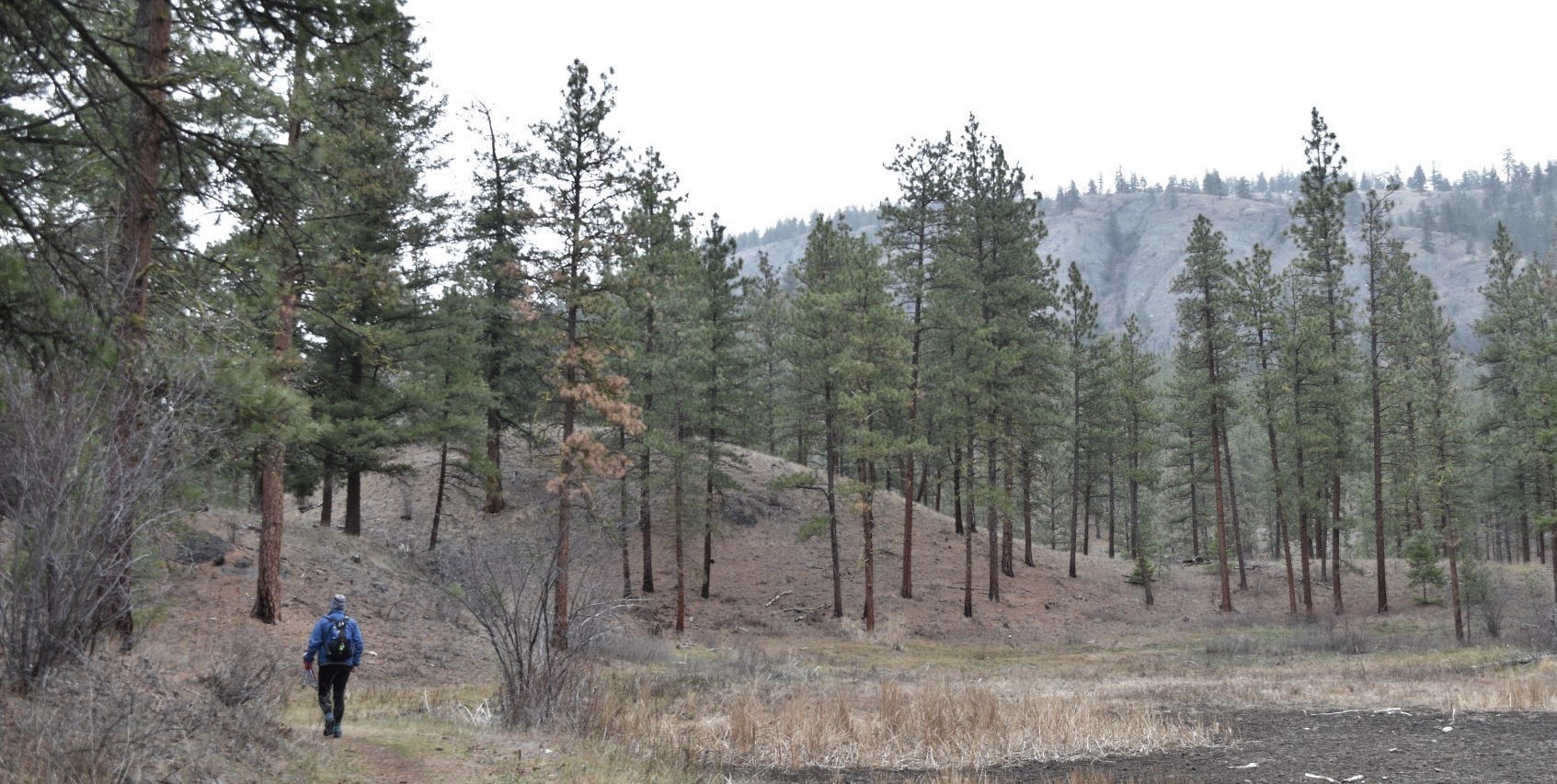
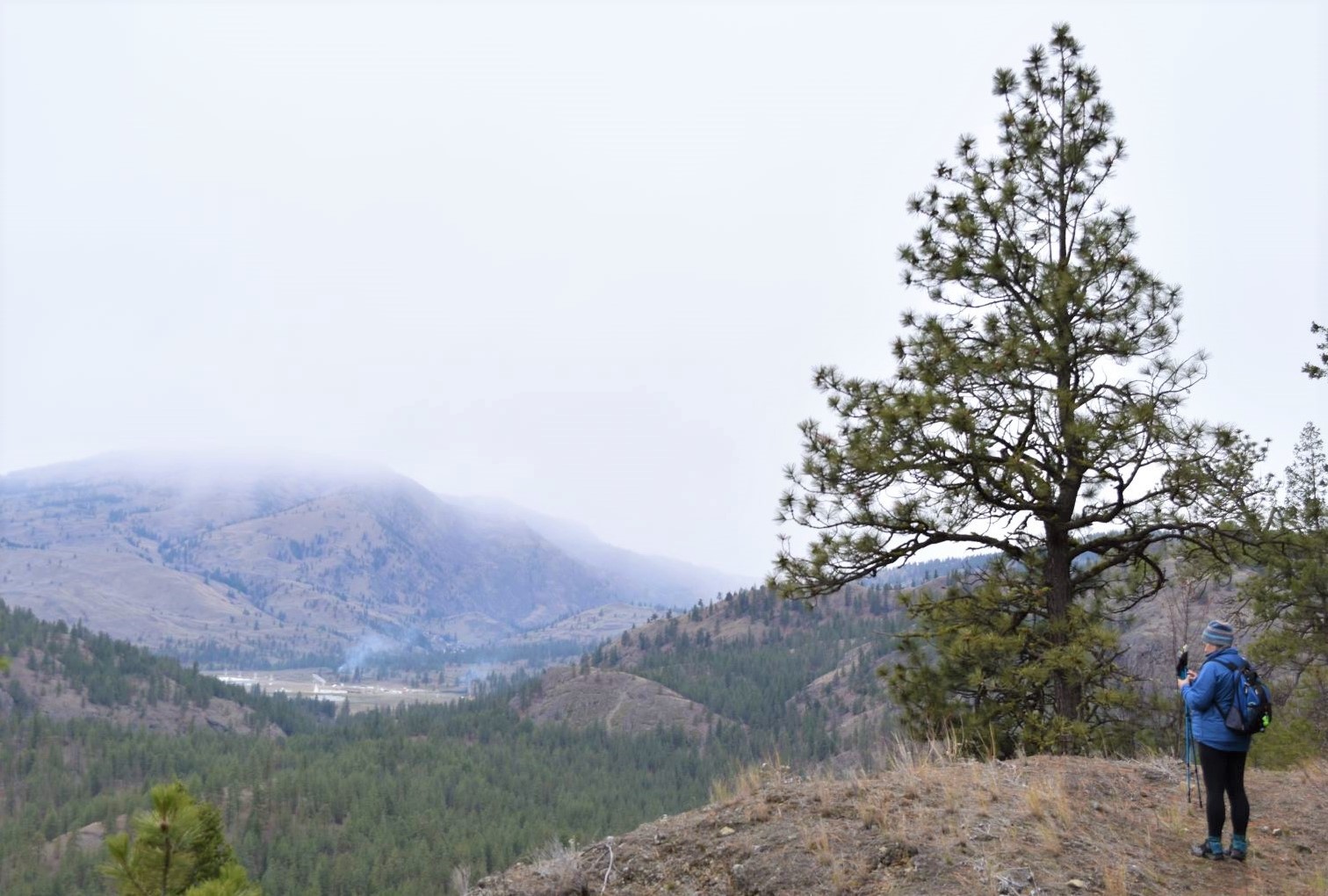
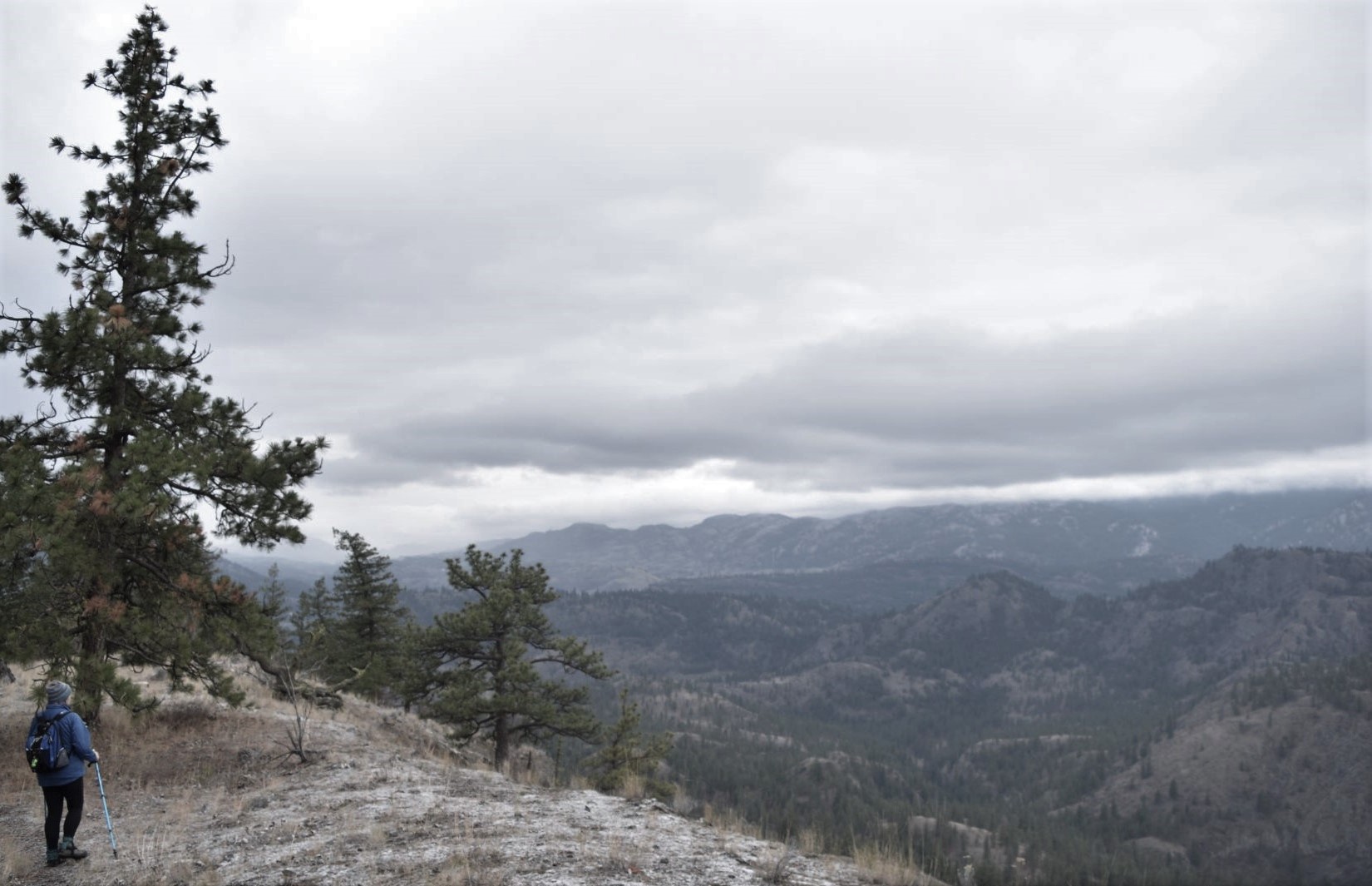
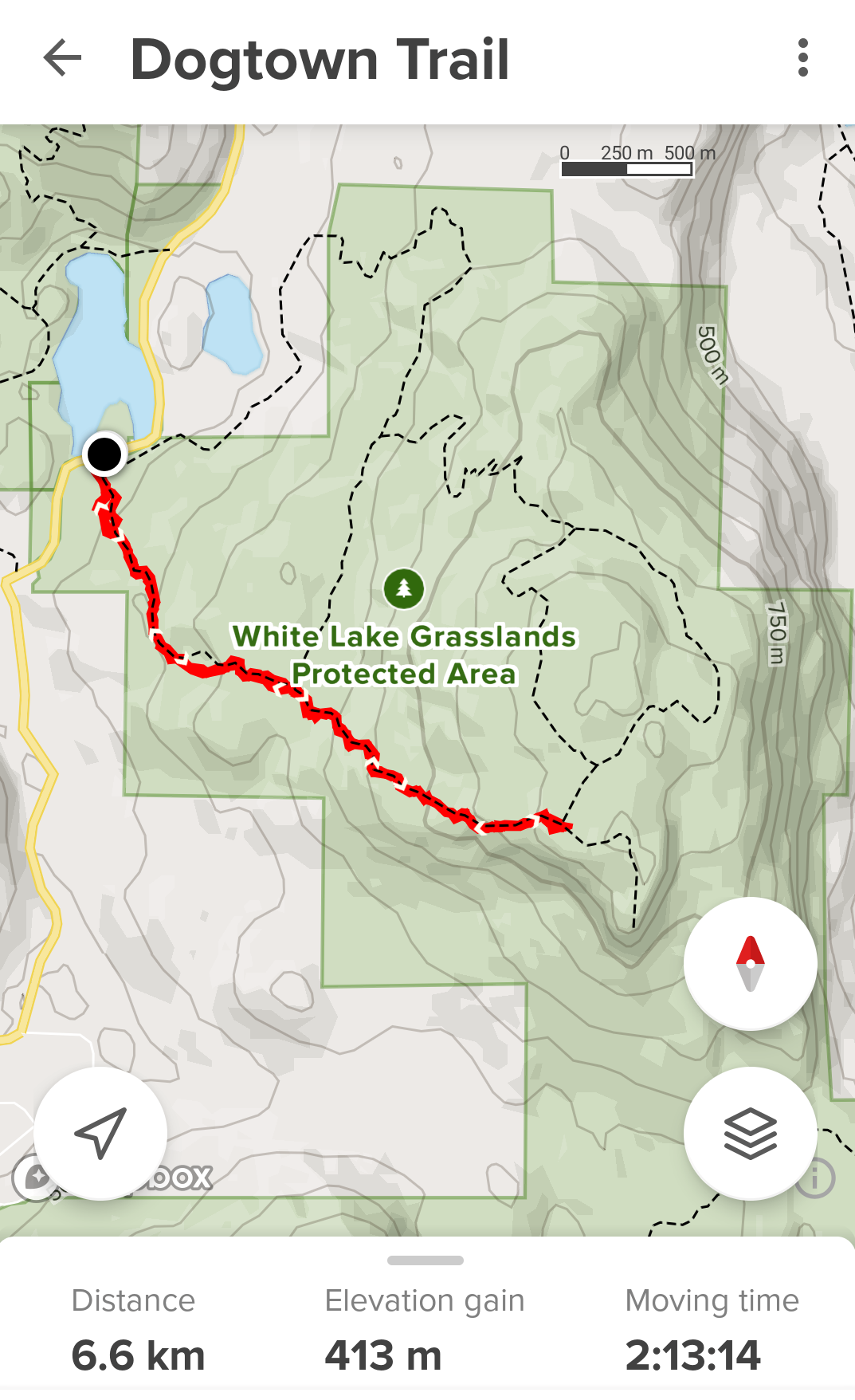
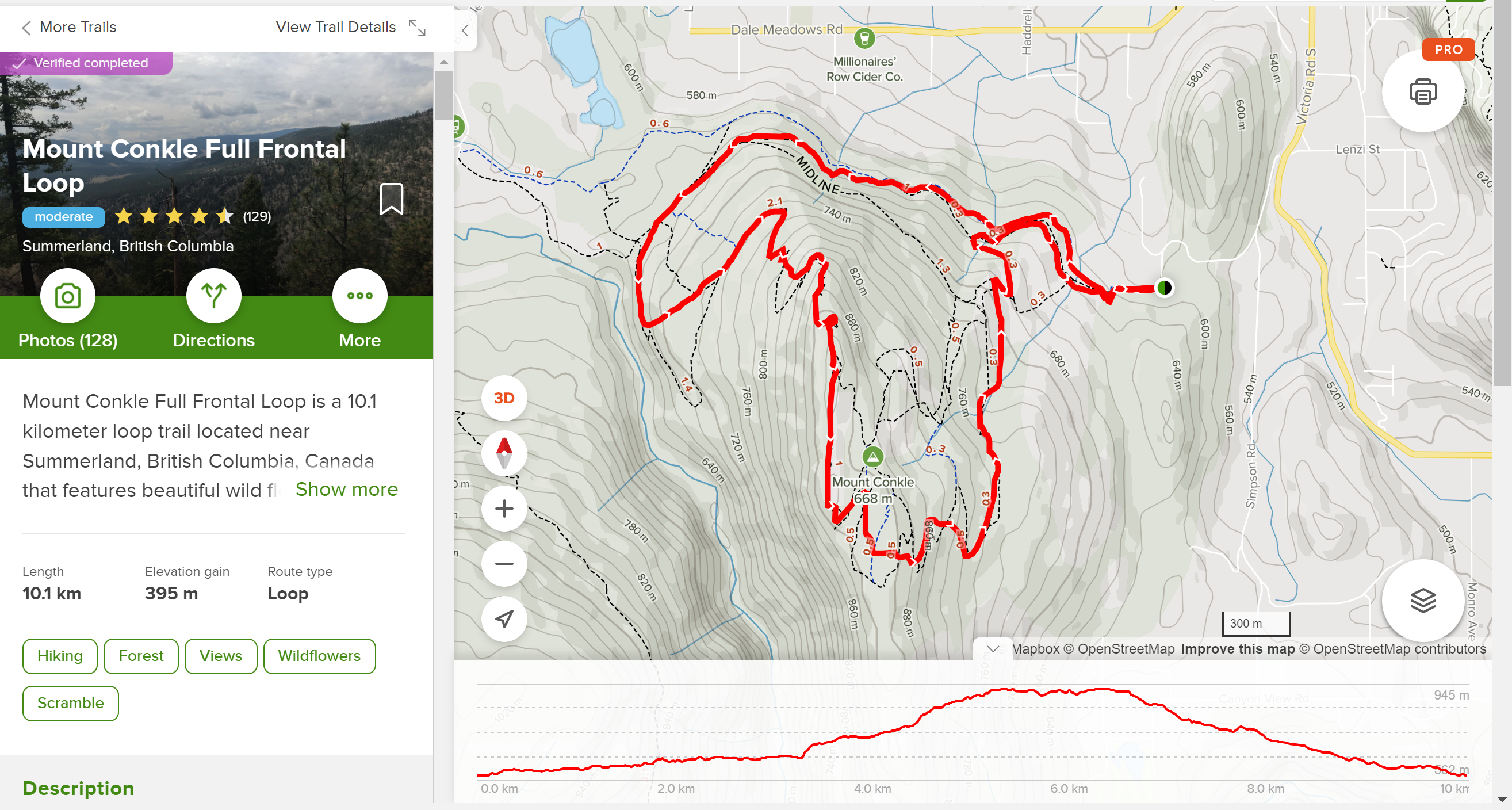
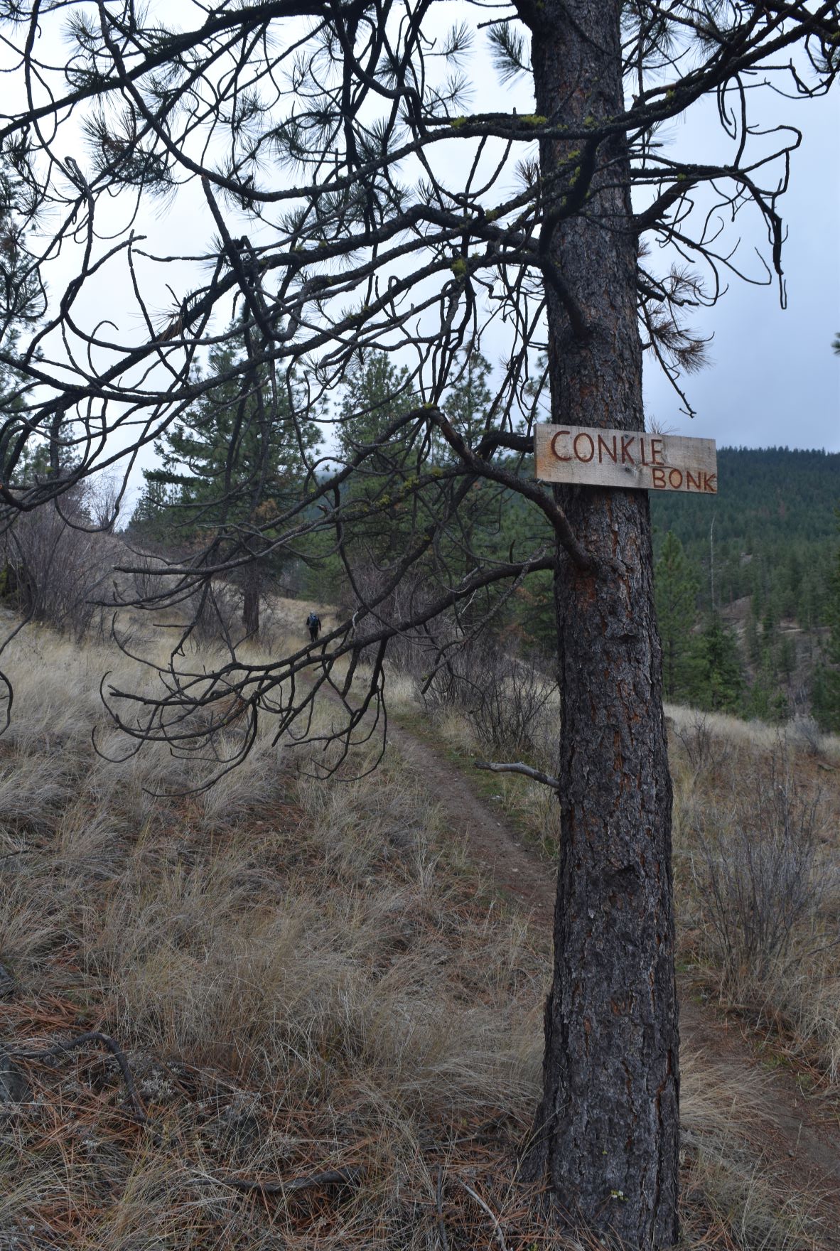
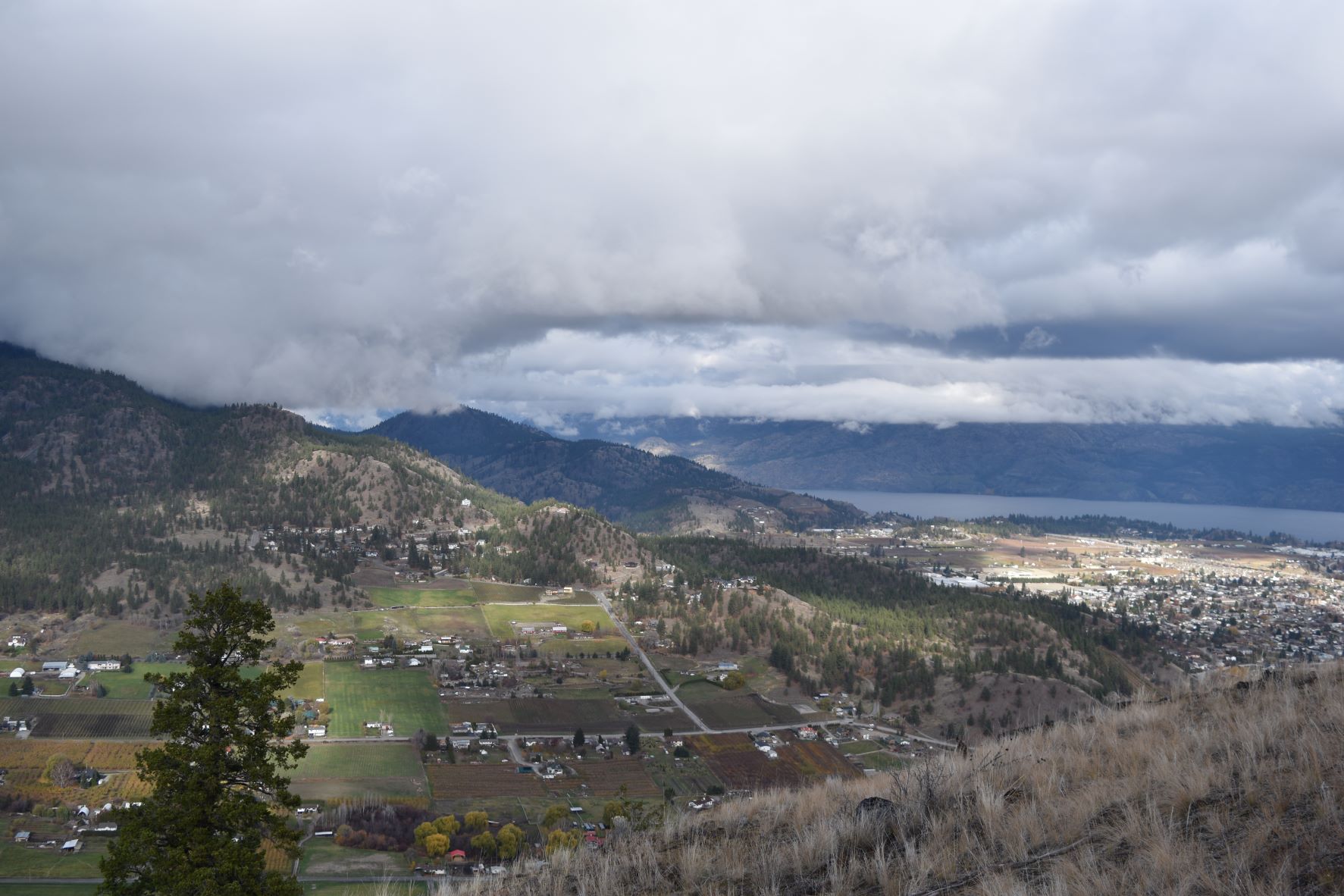
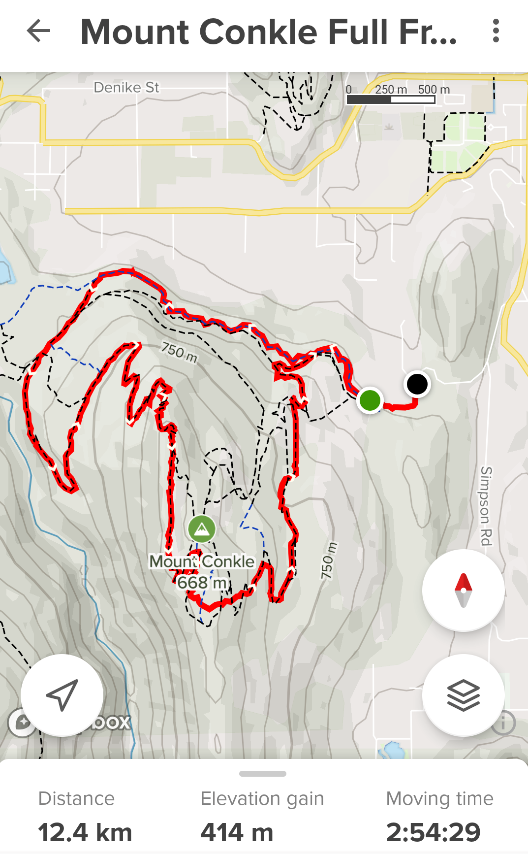
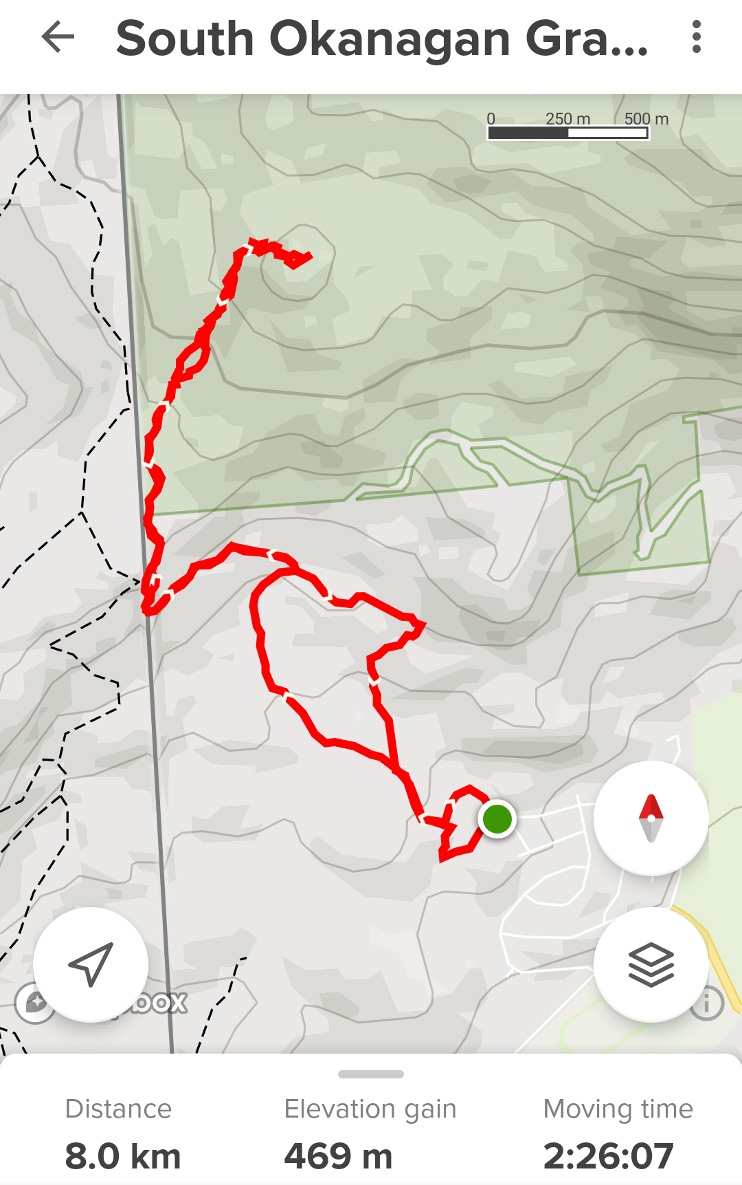
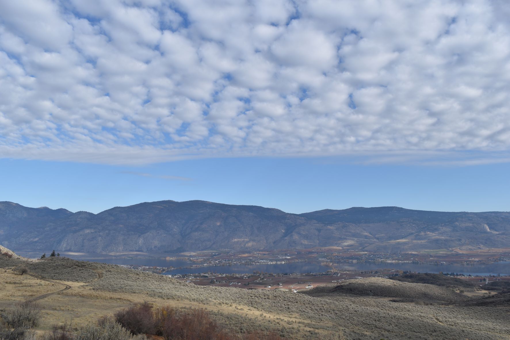
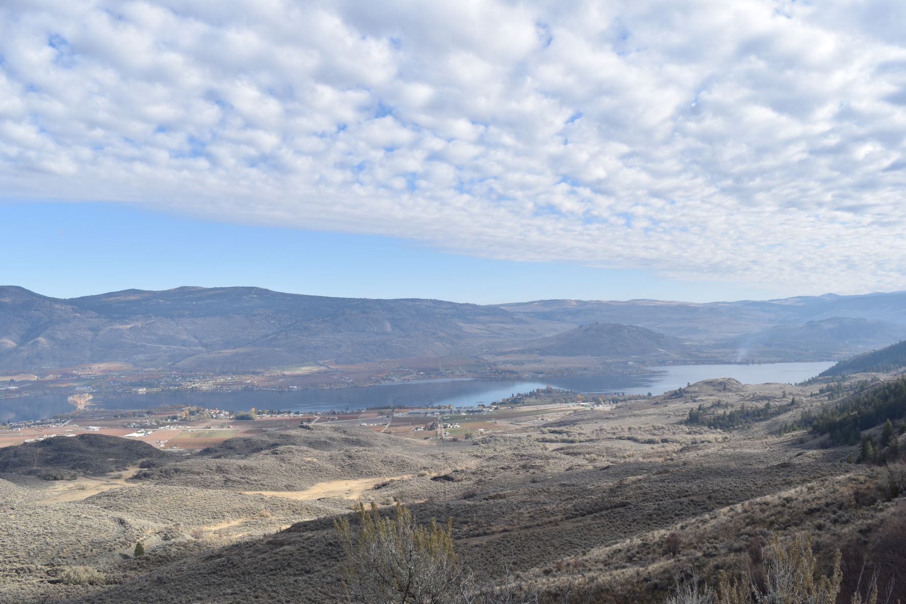
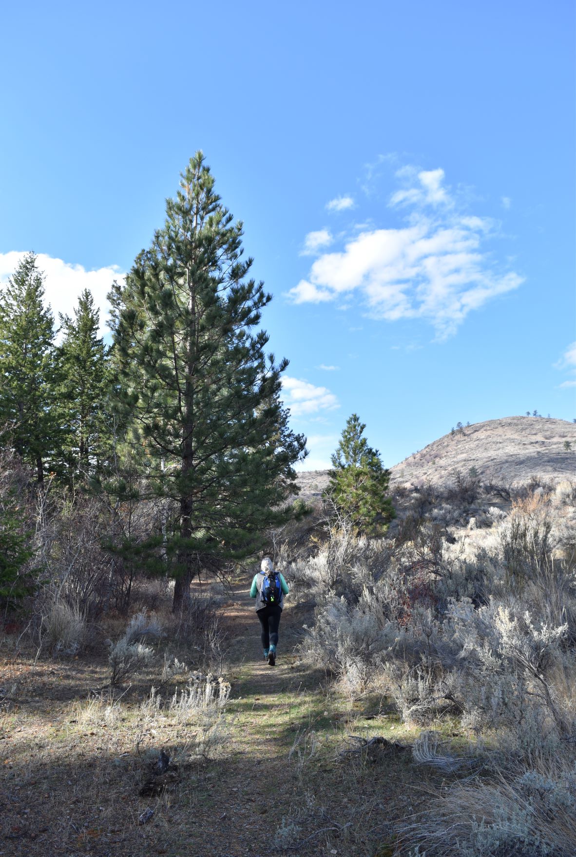
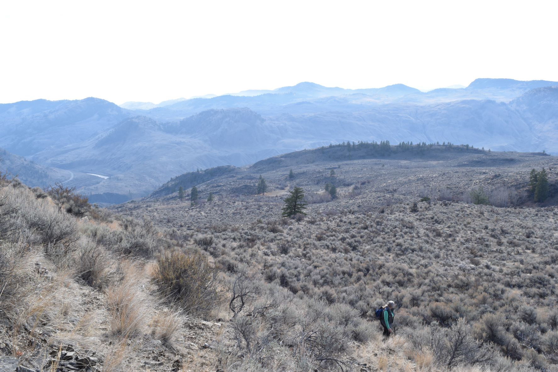
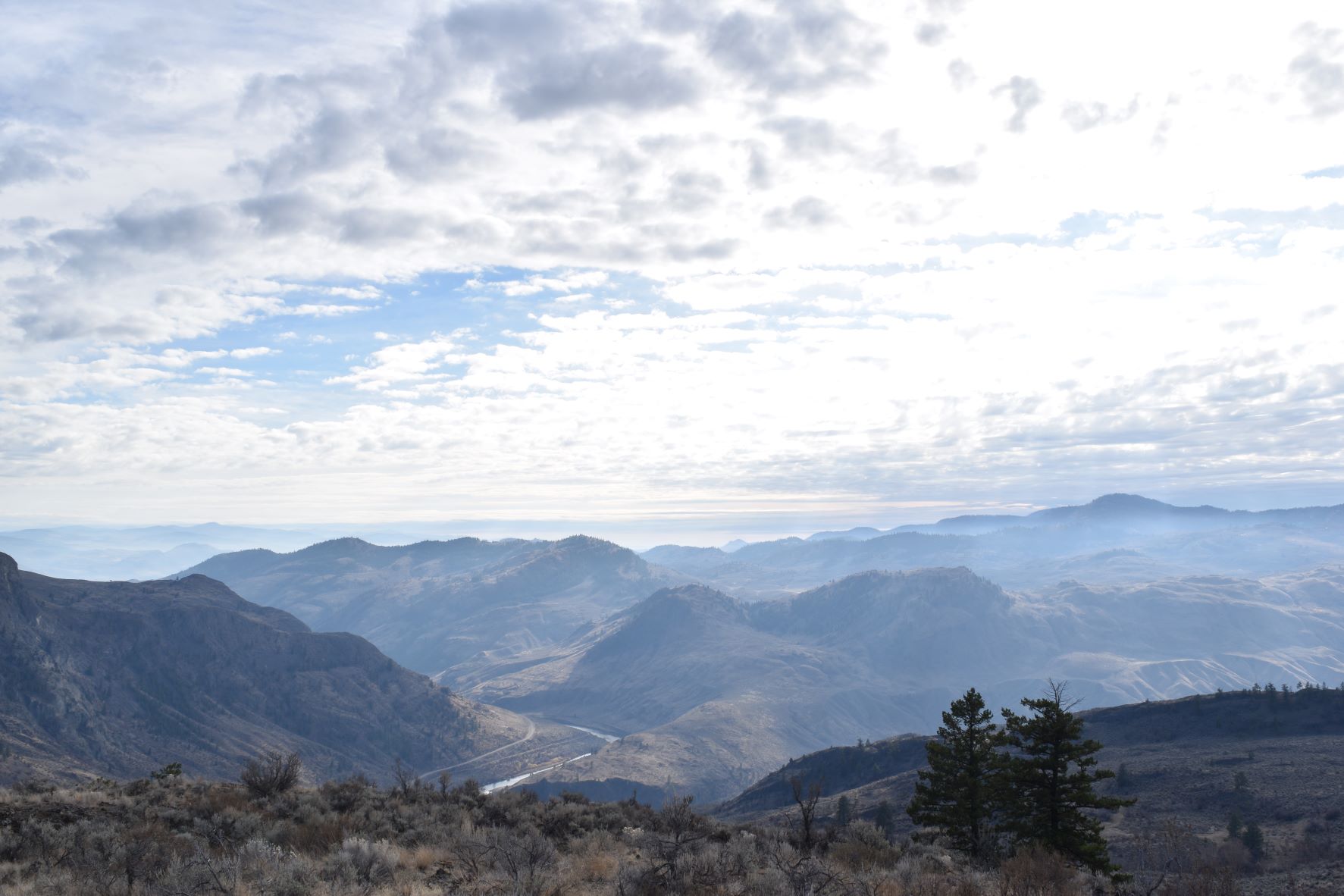
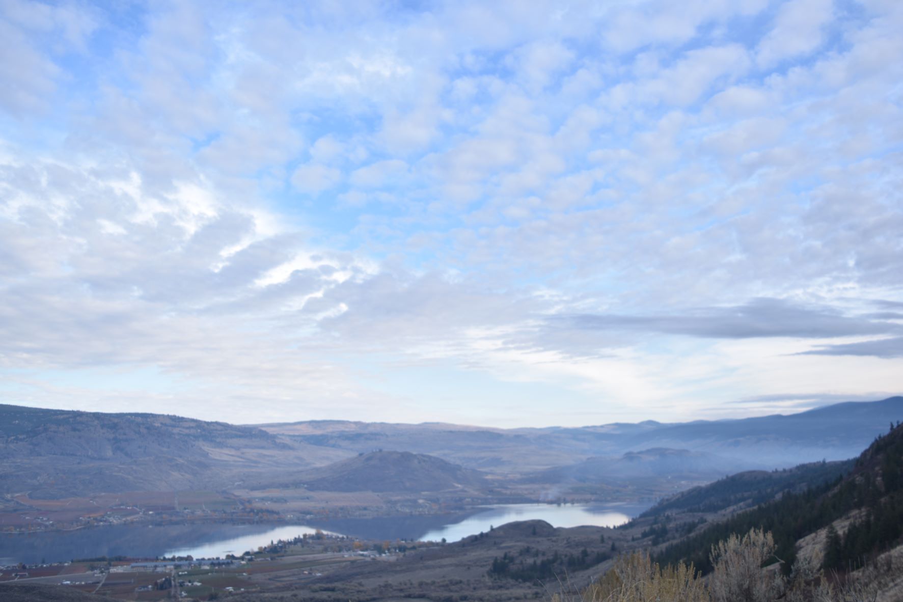
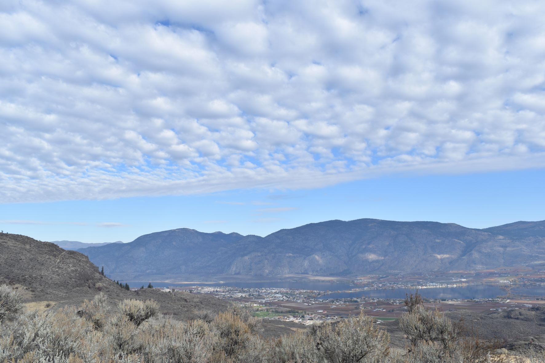
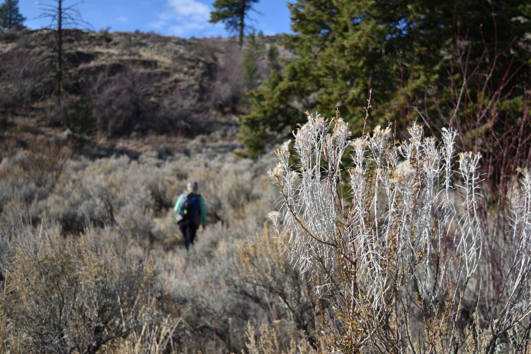
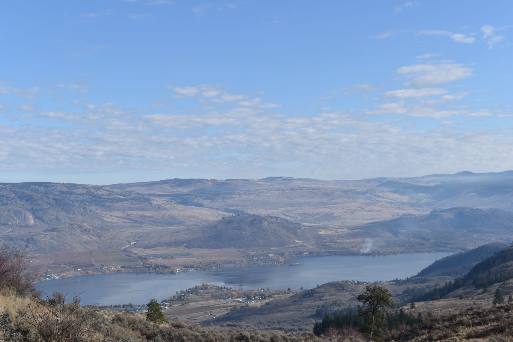
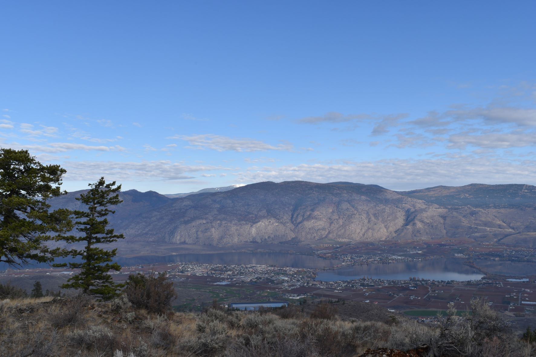
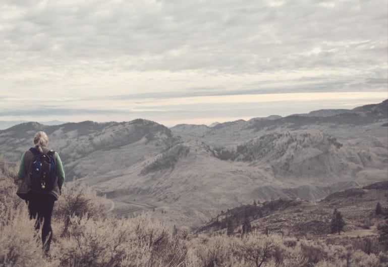
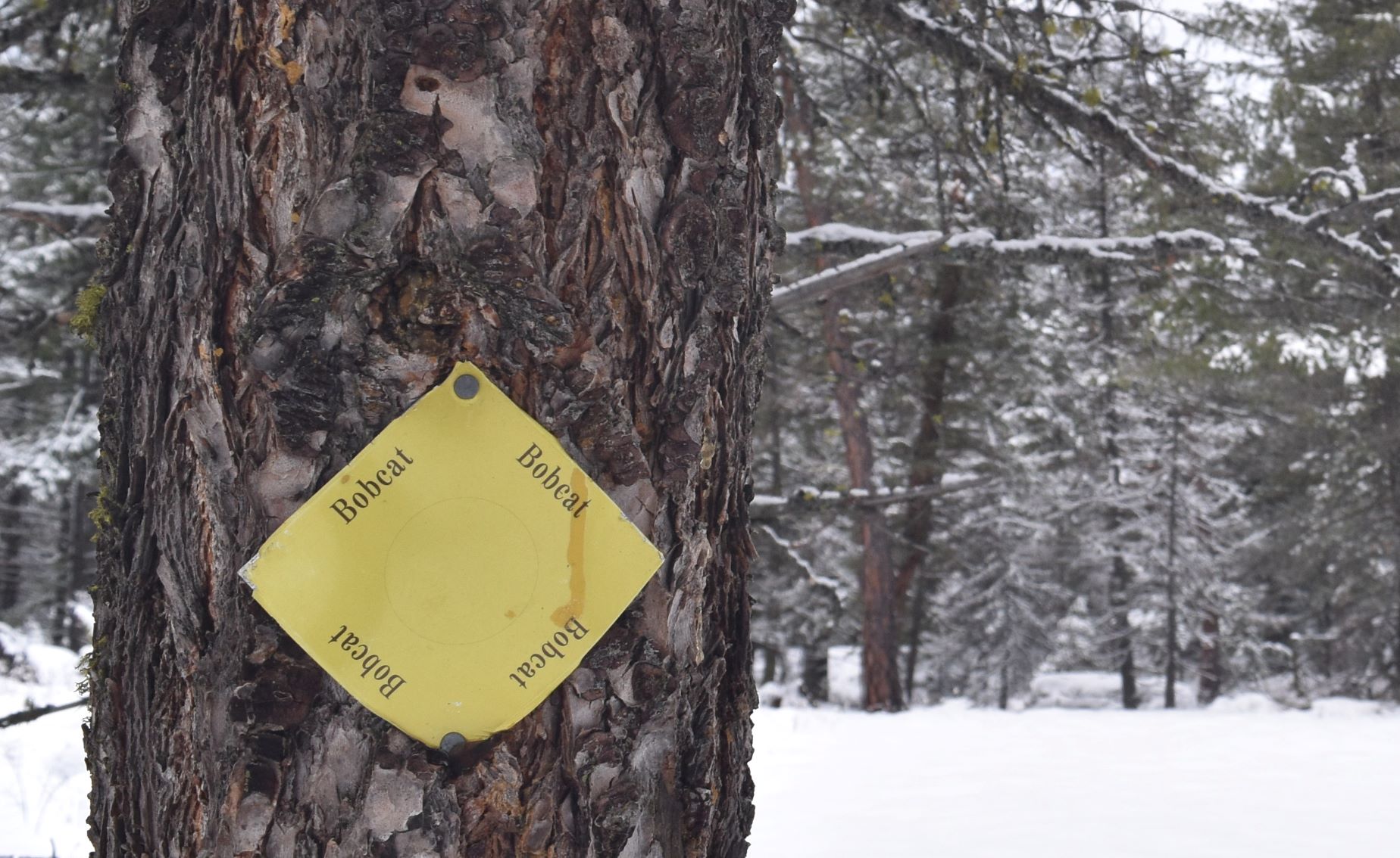
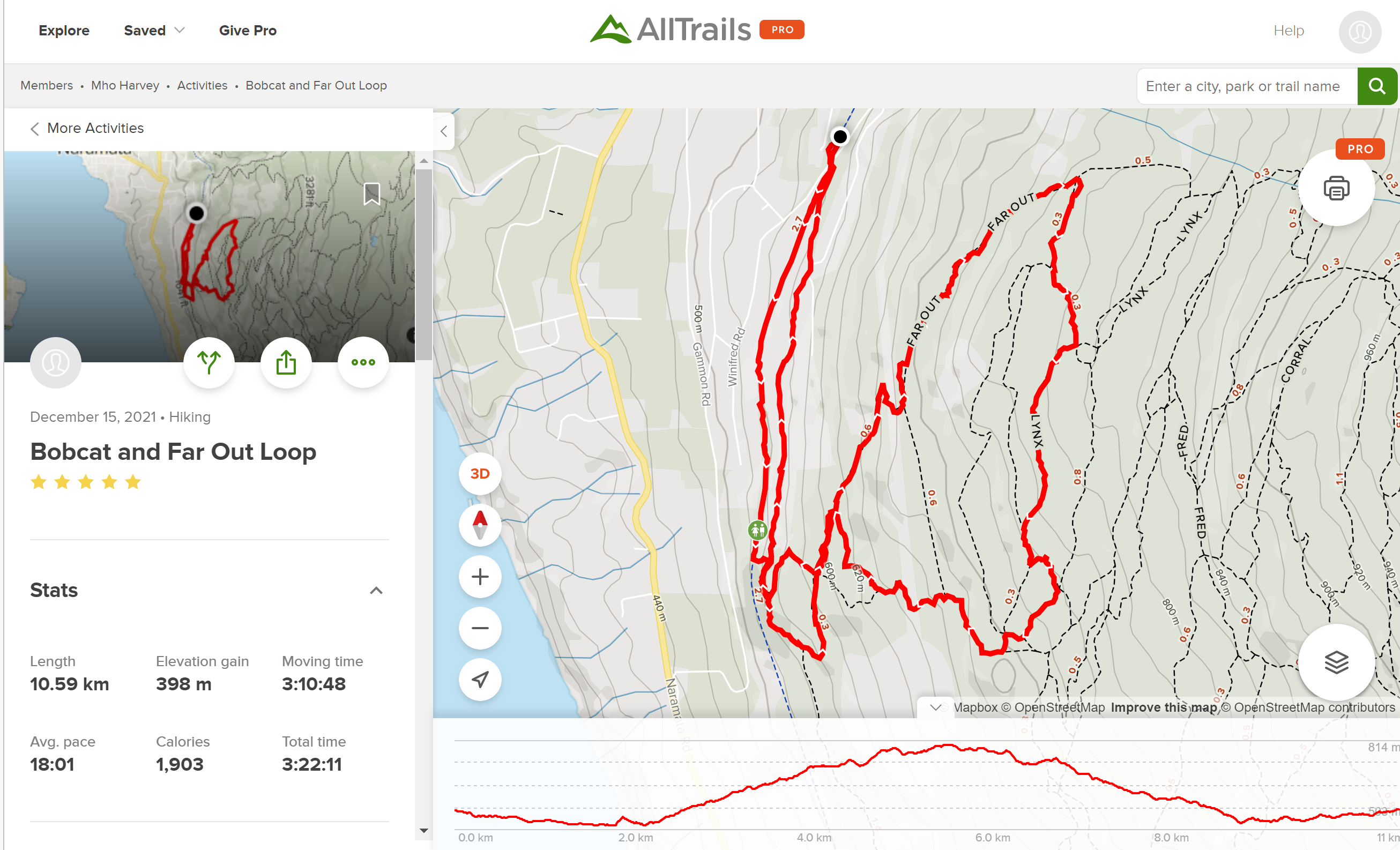
I had found this Bobcat and Far Out Loop……..I’m a real sucker for these bizarre names on the trails…so this one seemed like a must. Plus it was back to Naramata which is beautiful and very close to our little tin house ……on the east side of the valley. …(which…as we have discovered…stays in the sun for longer…!!!)

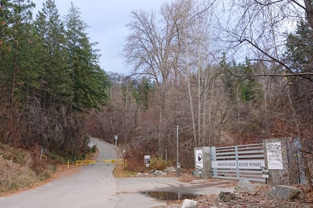
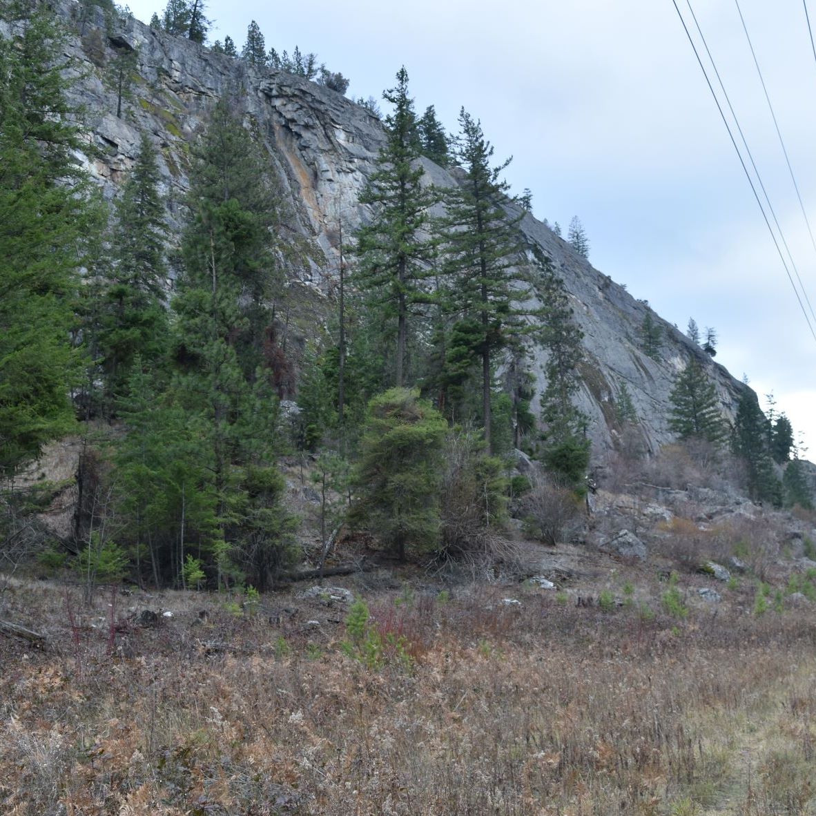
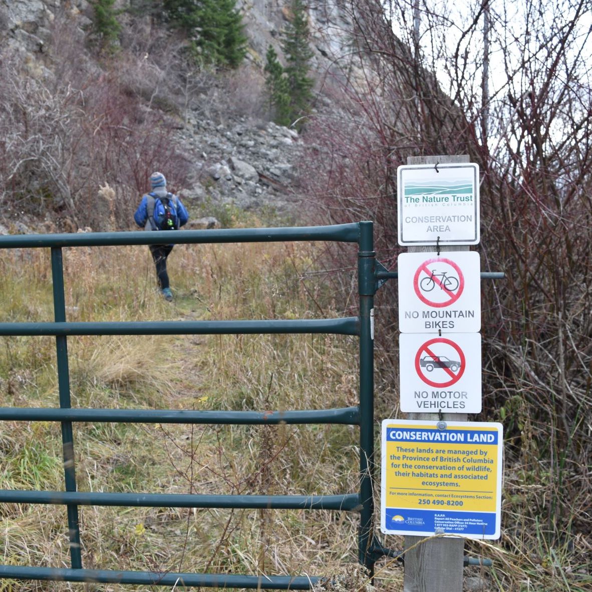
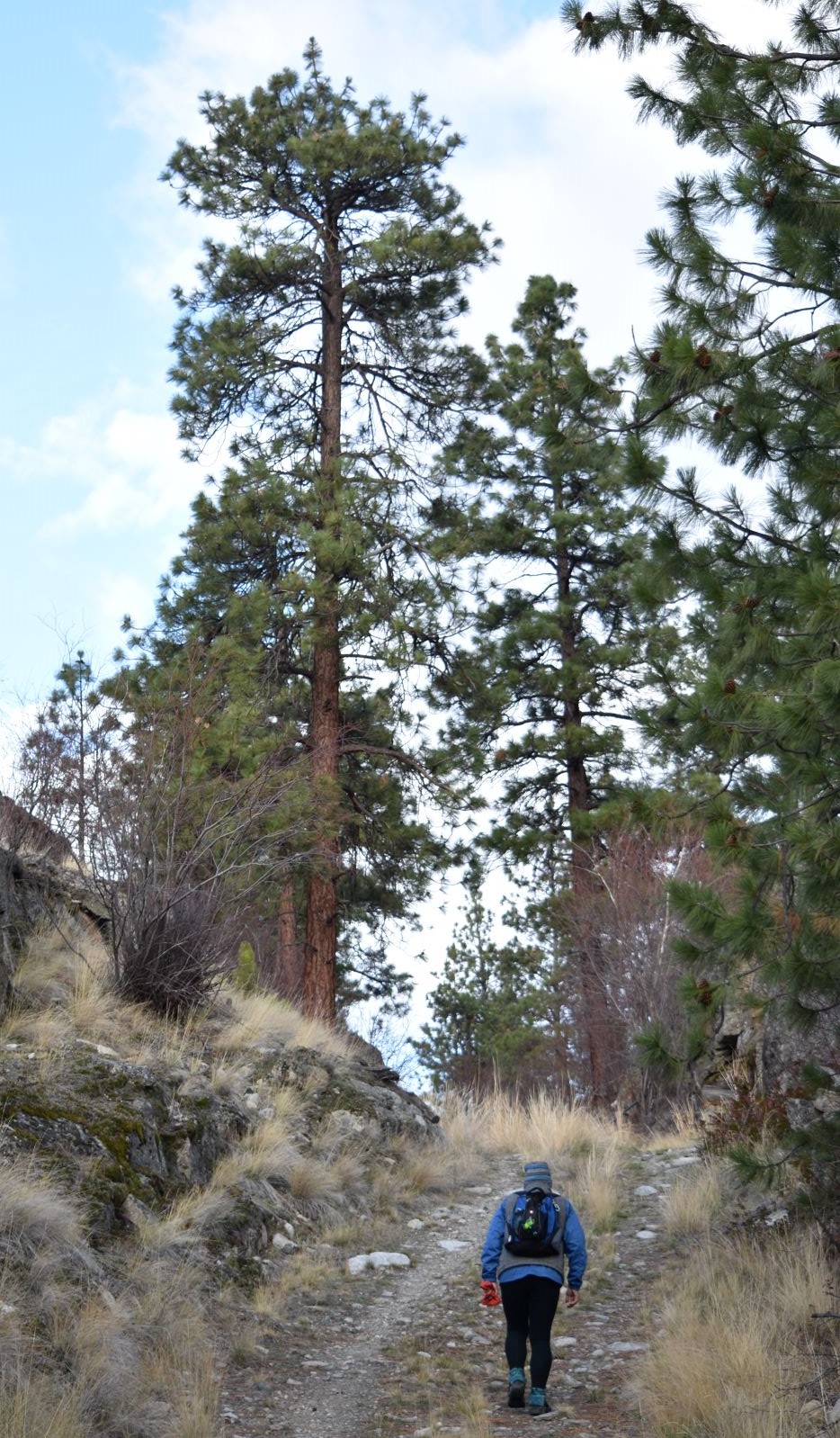
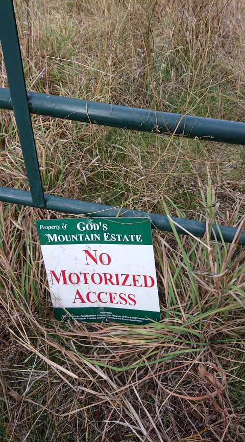
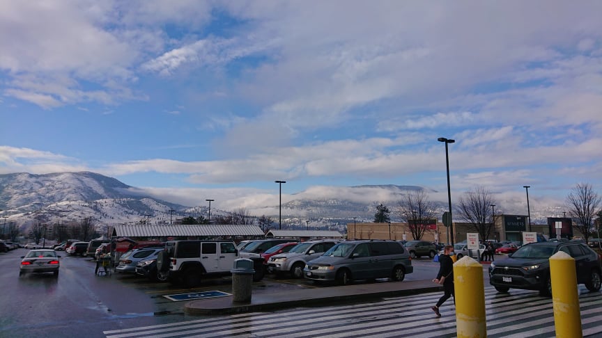
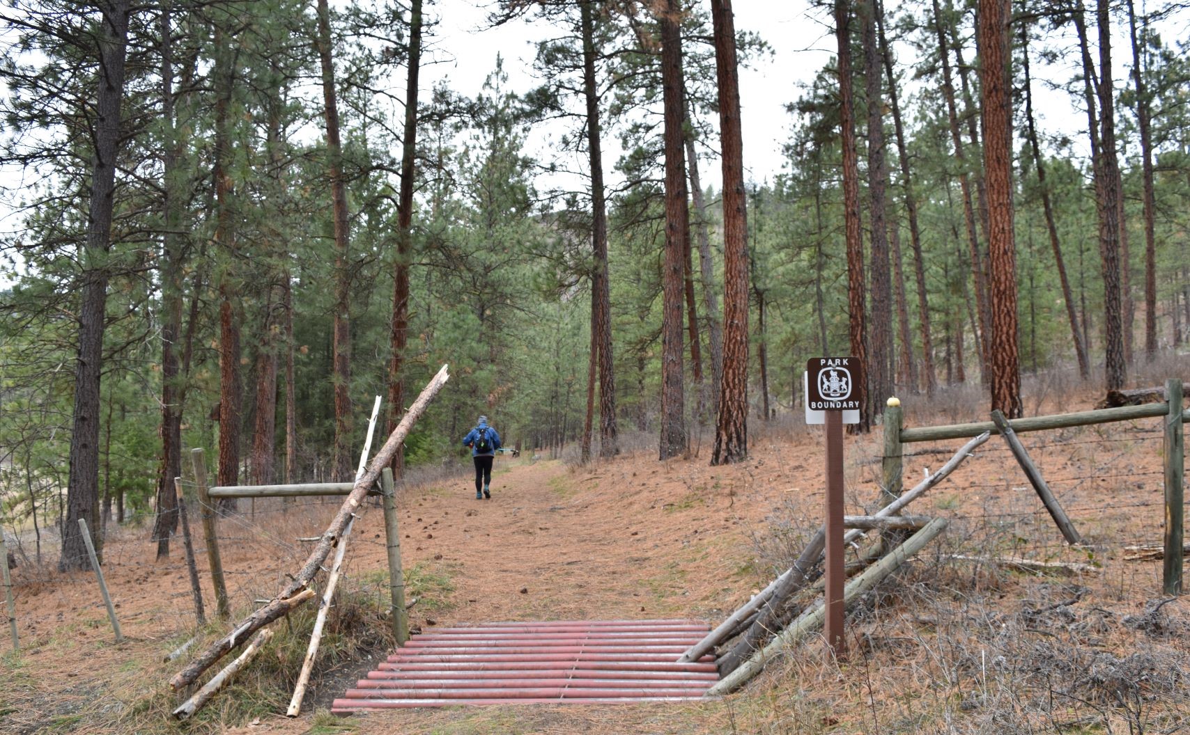
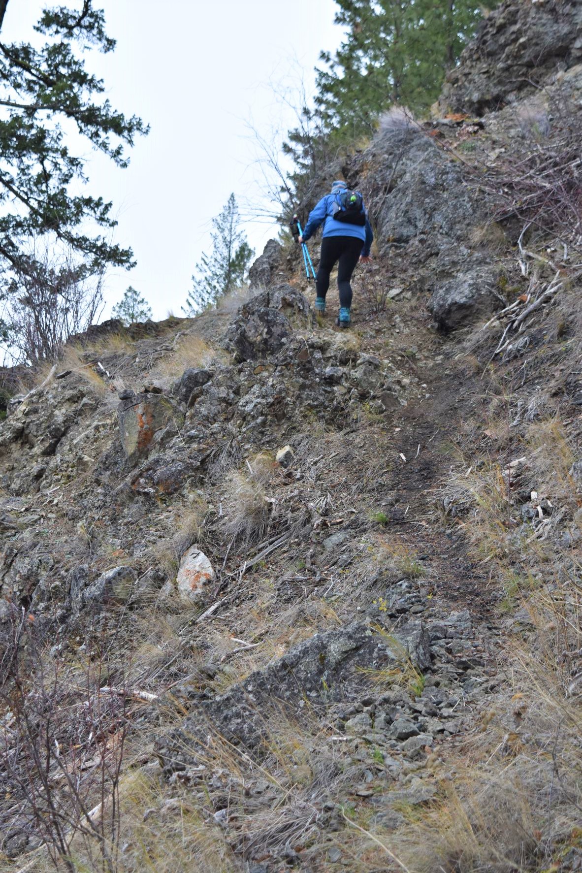
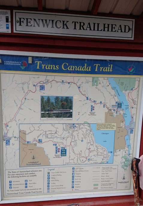
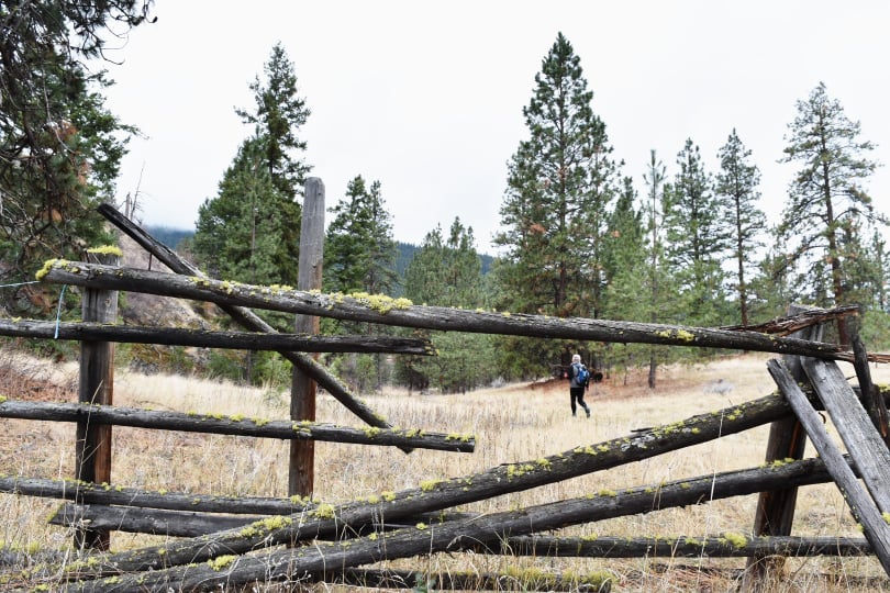
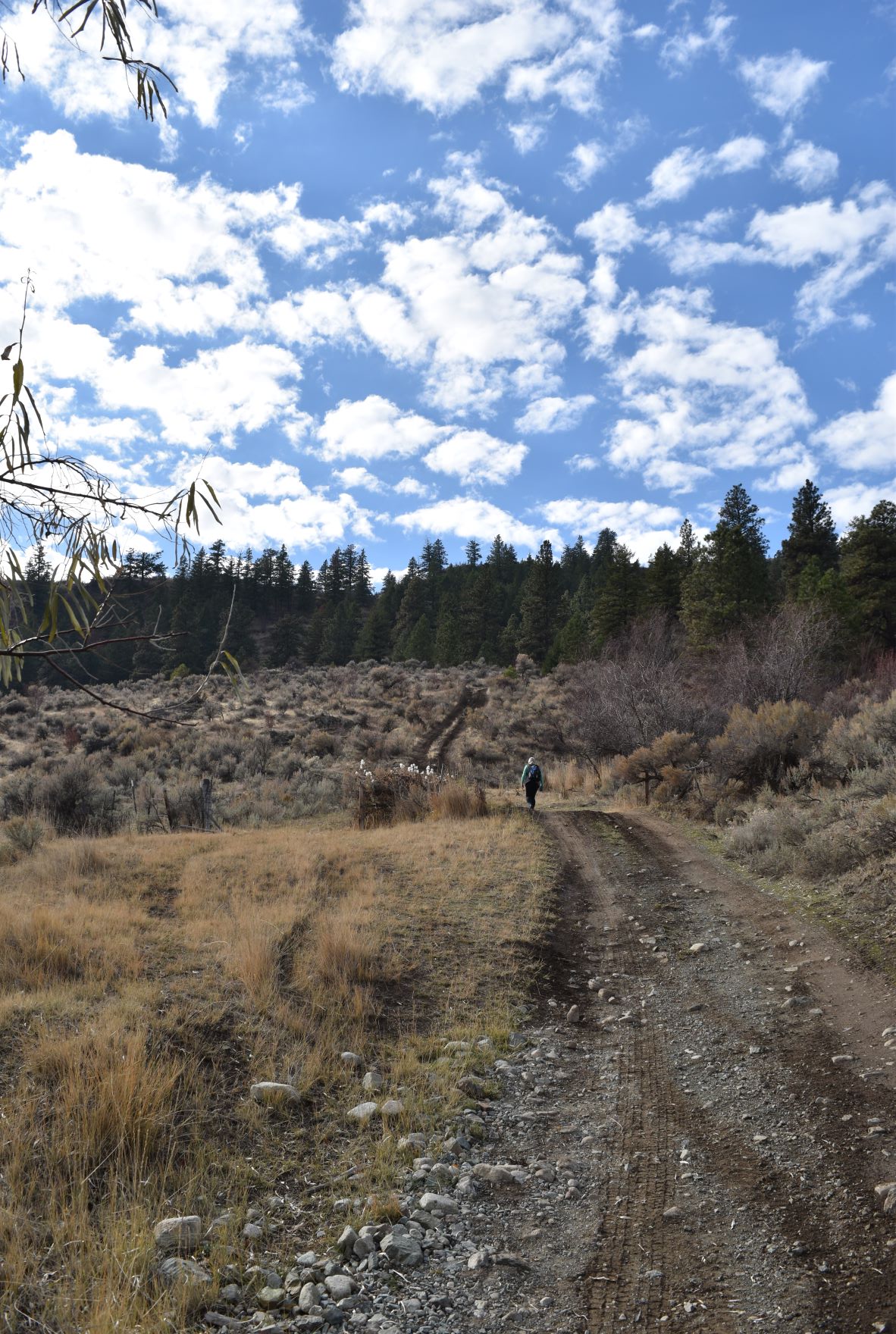
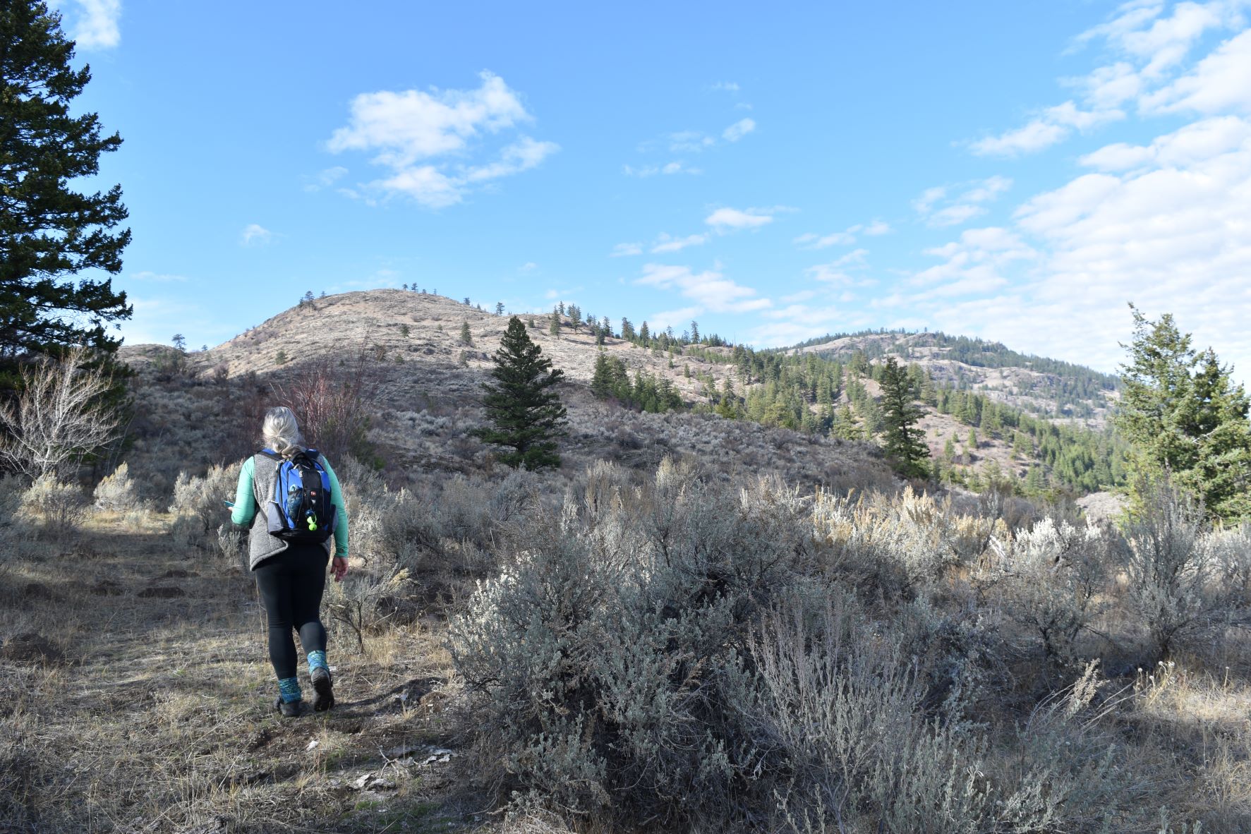
The trailhead was not immediately easy to find as there has been a great deal of construction in this area….huge multimillion dollar houses perched on the rock faces…This area is being developed at a frightening rate, hence, trails which were do-able even 6 months ago have now become private homes and gardens.

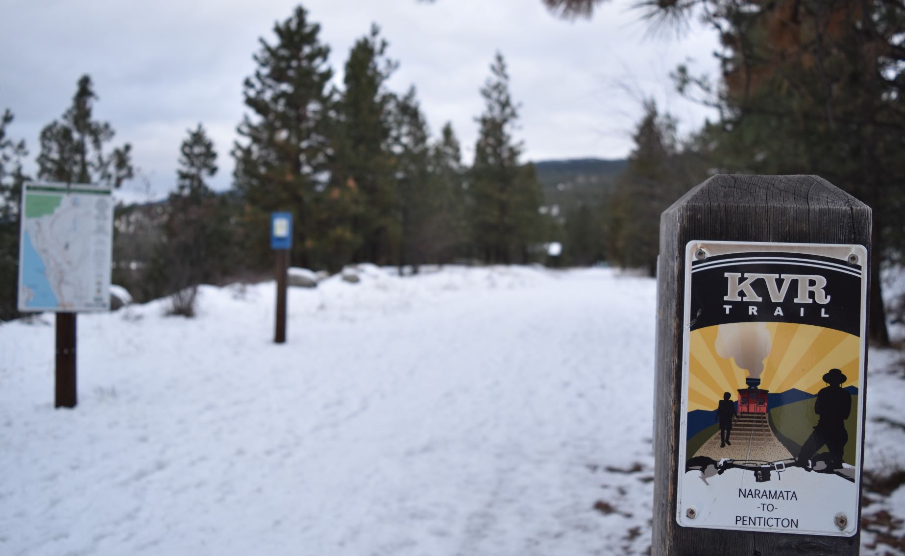
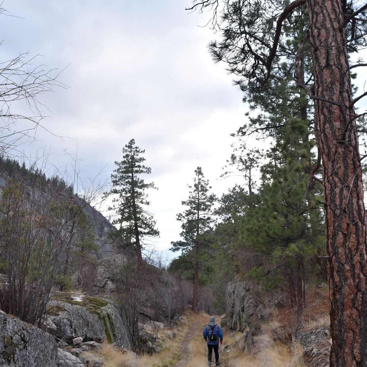
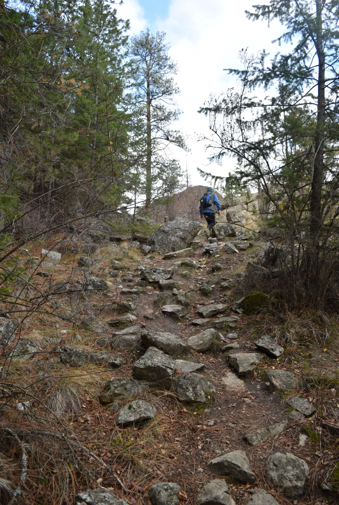
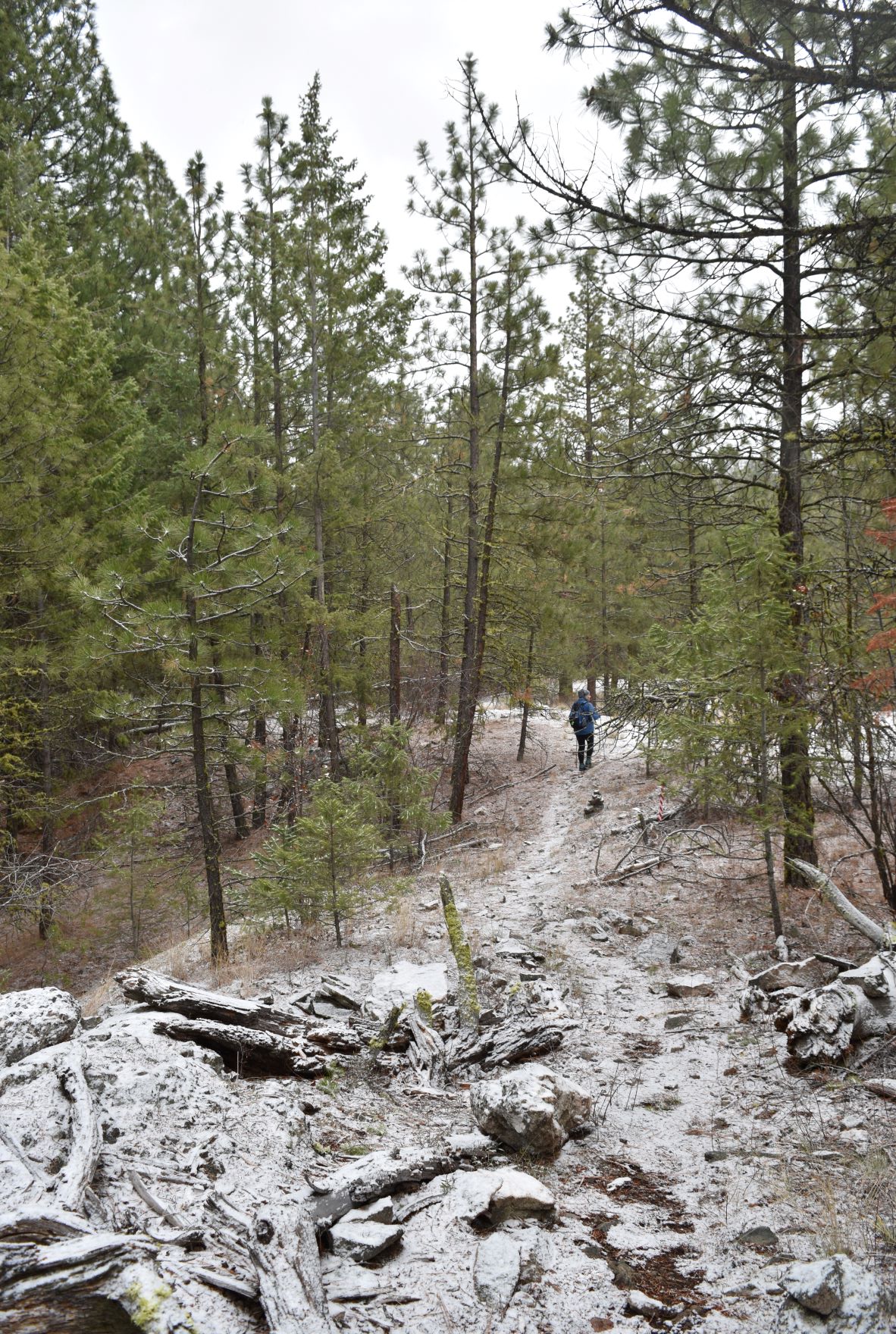
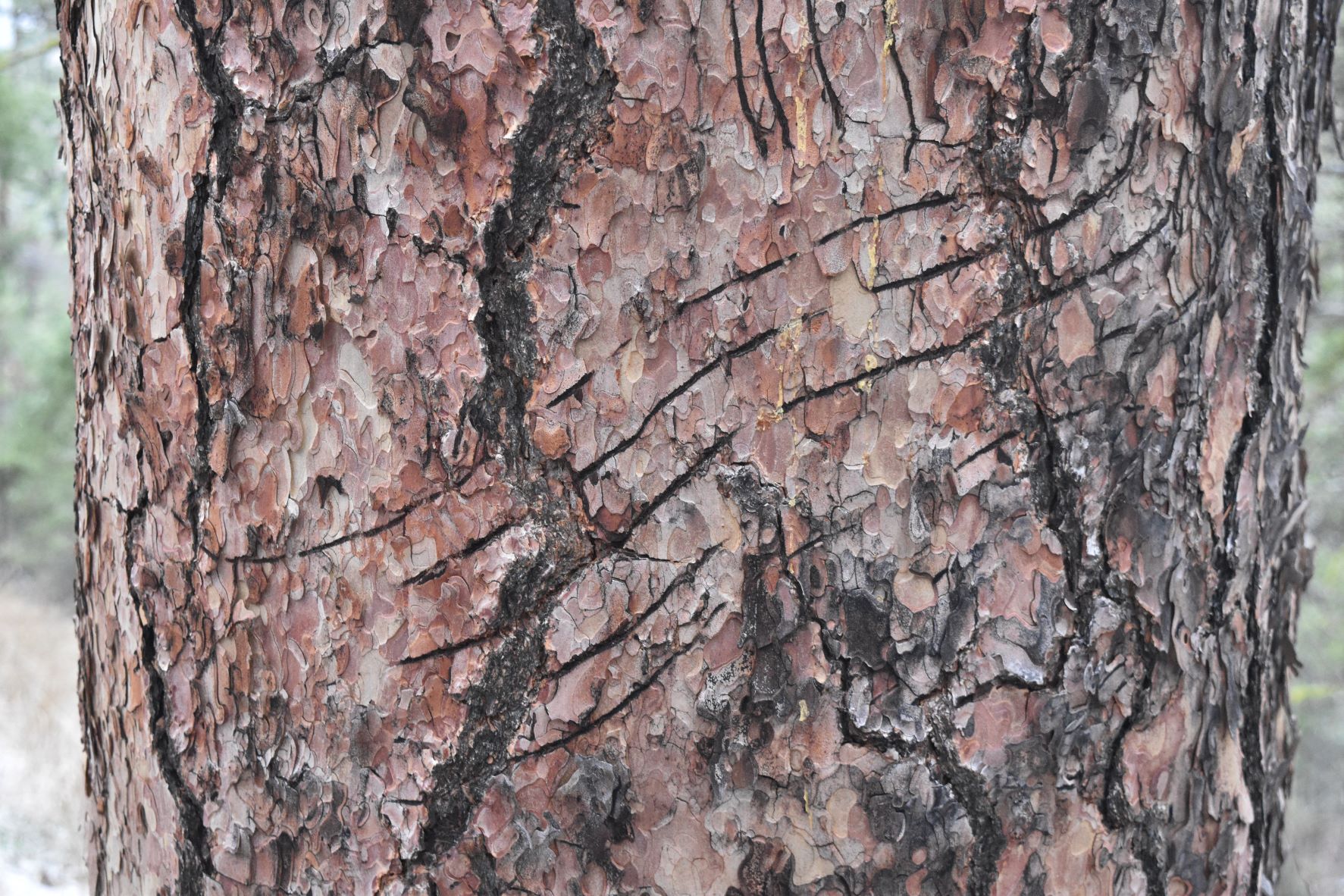
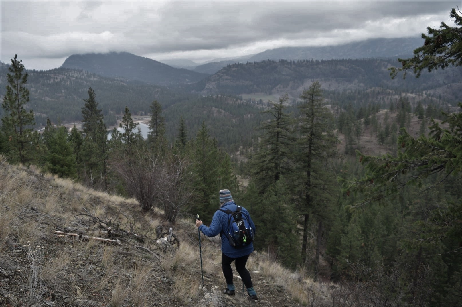
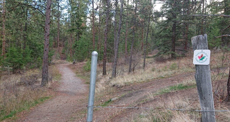
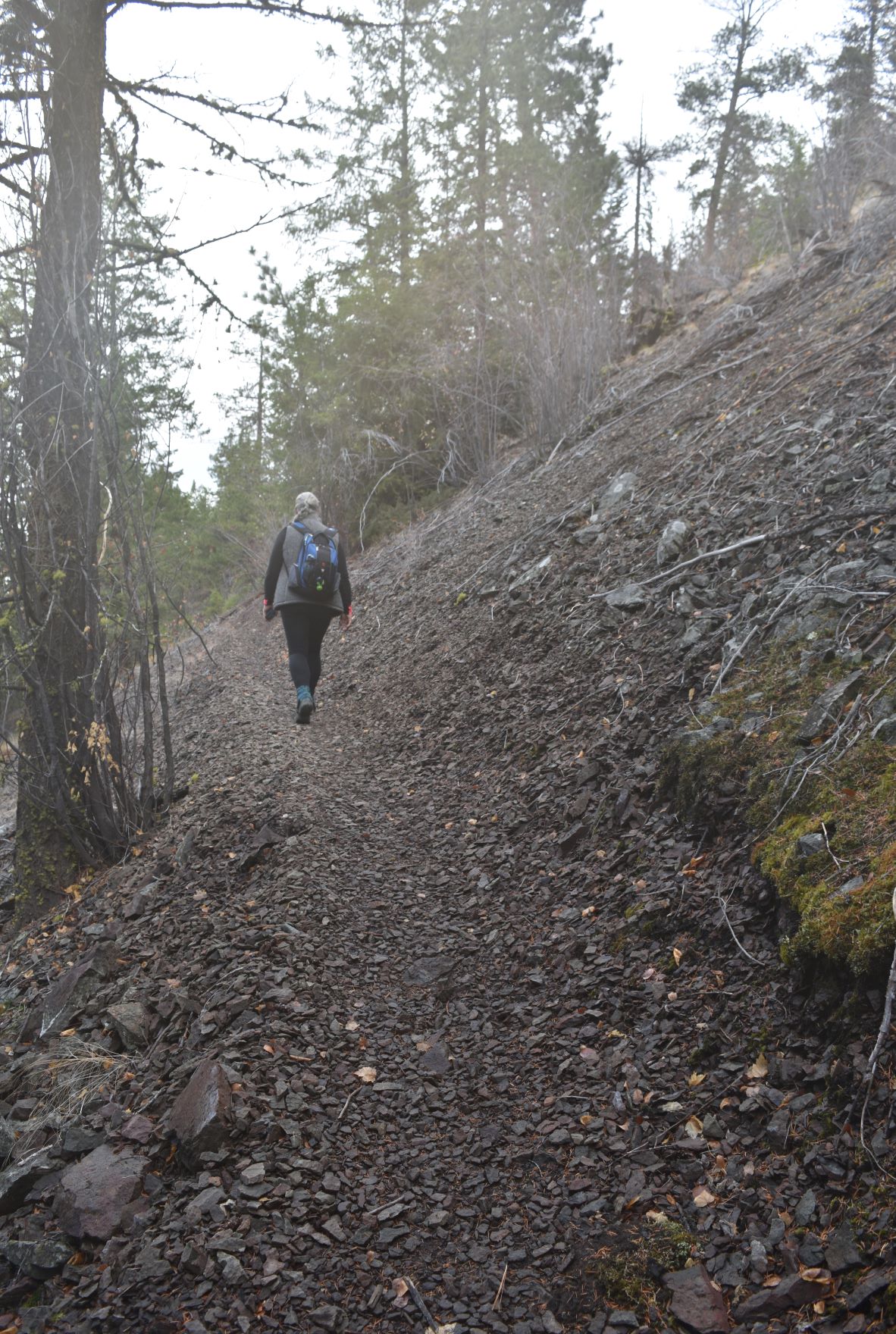
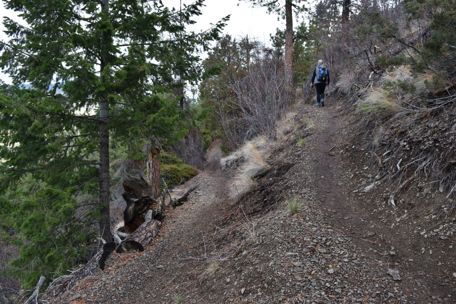
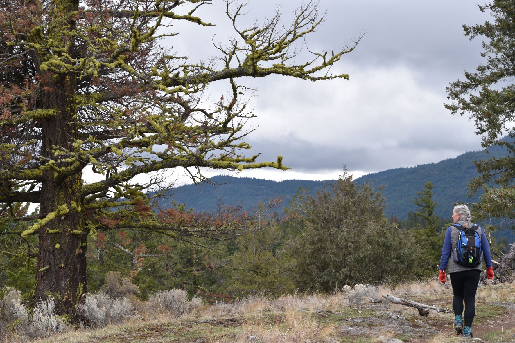
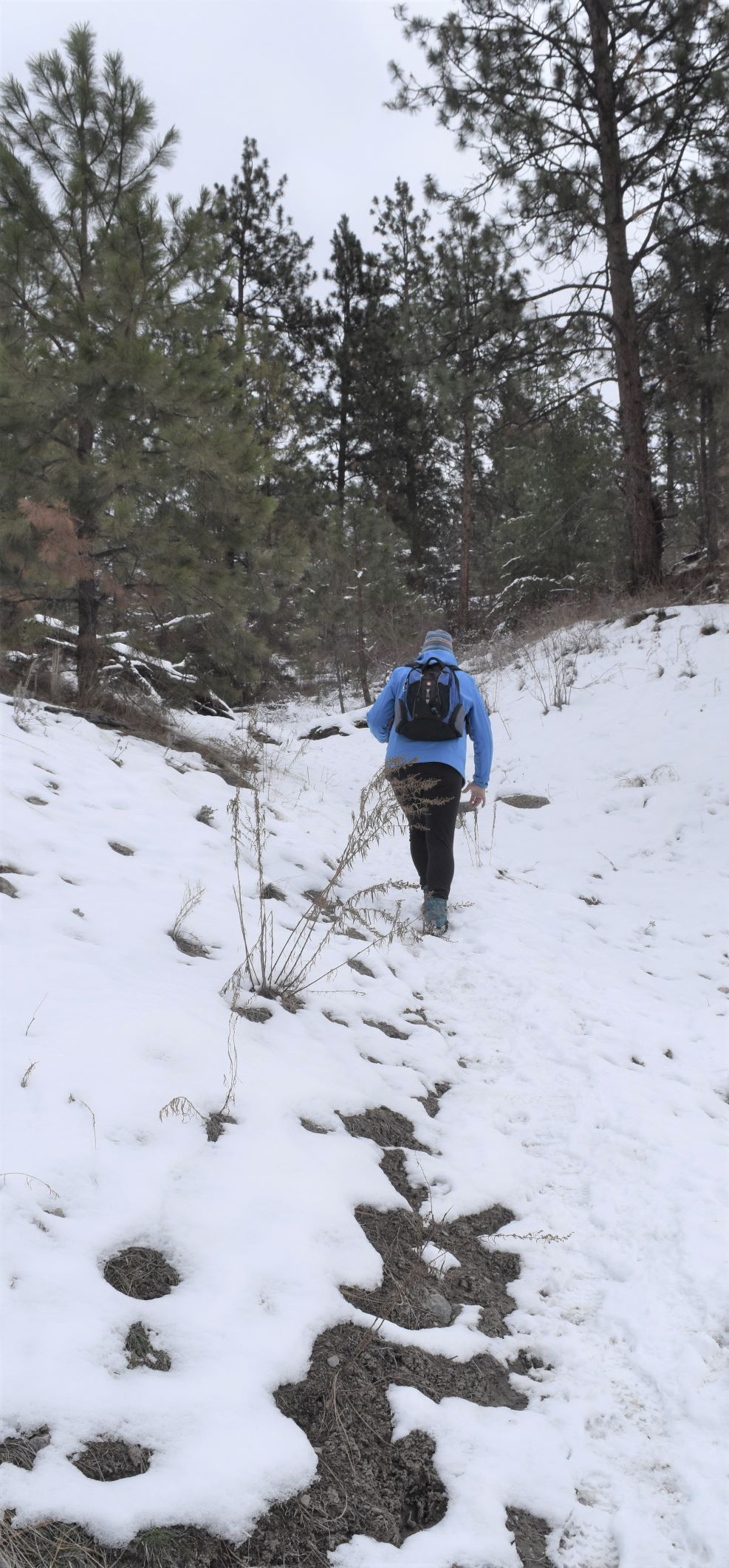
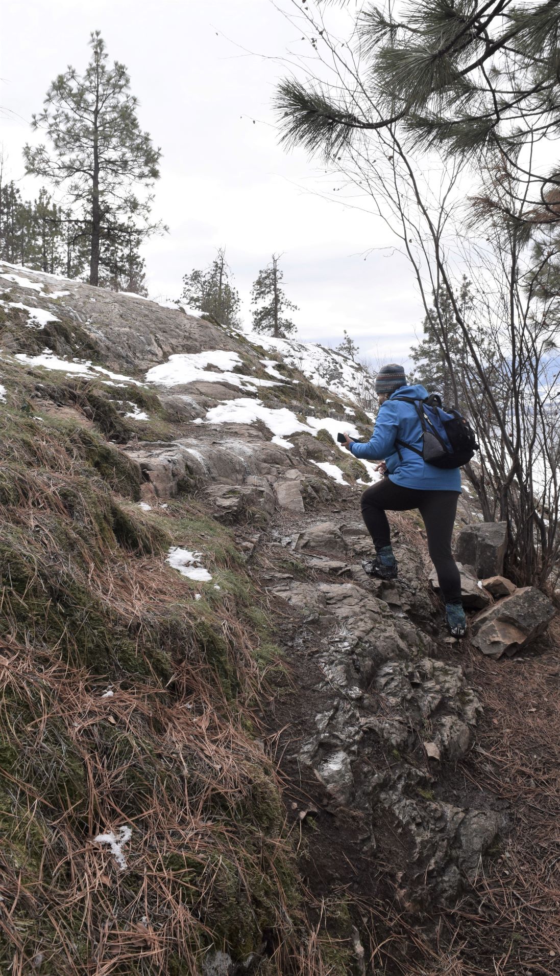
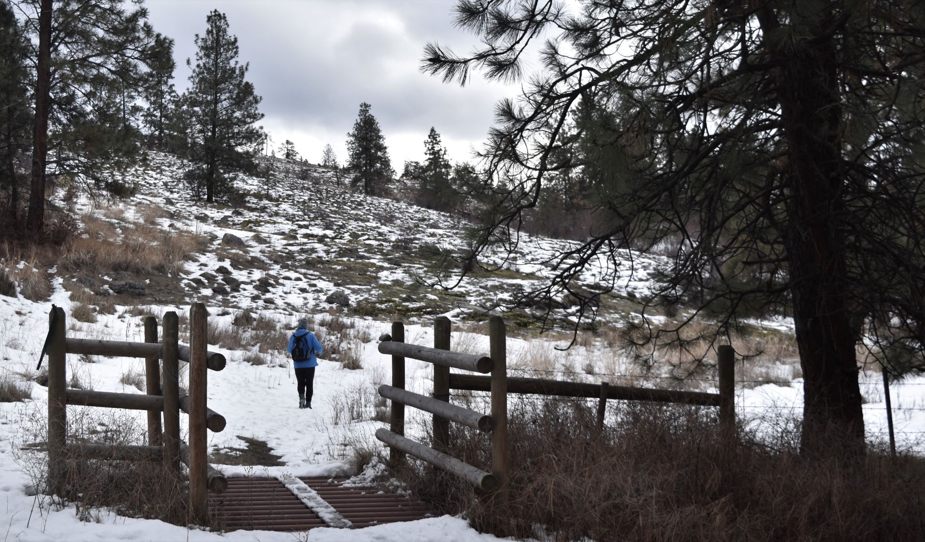
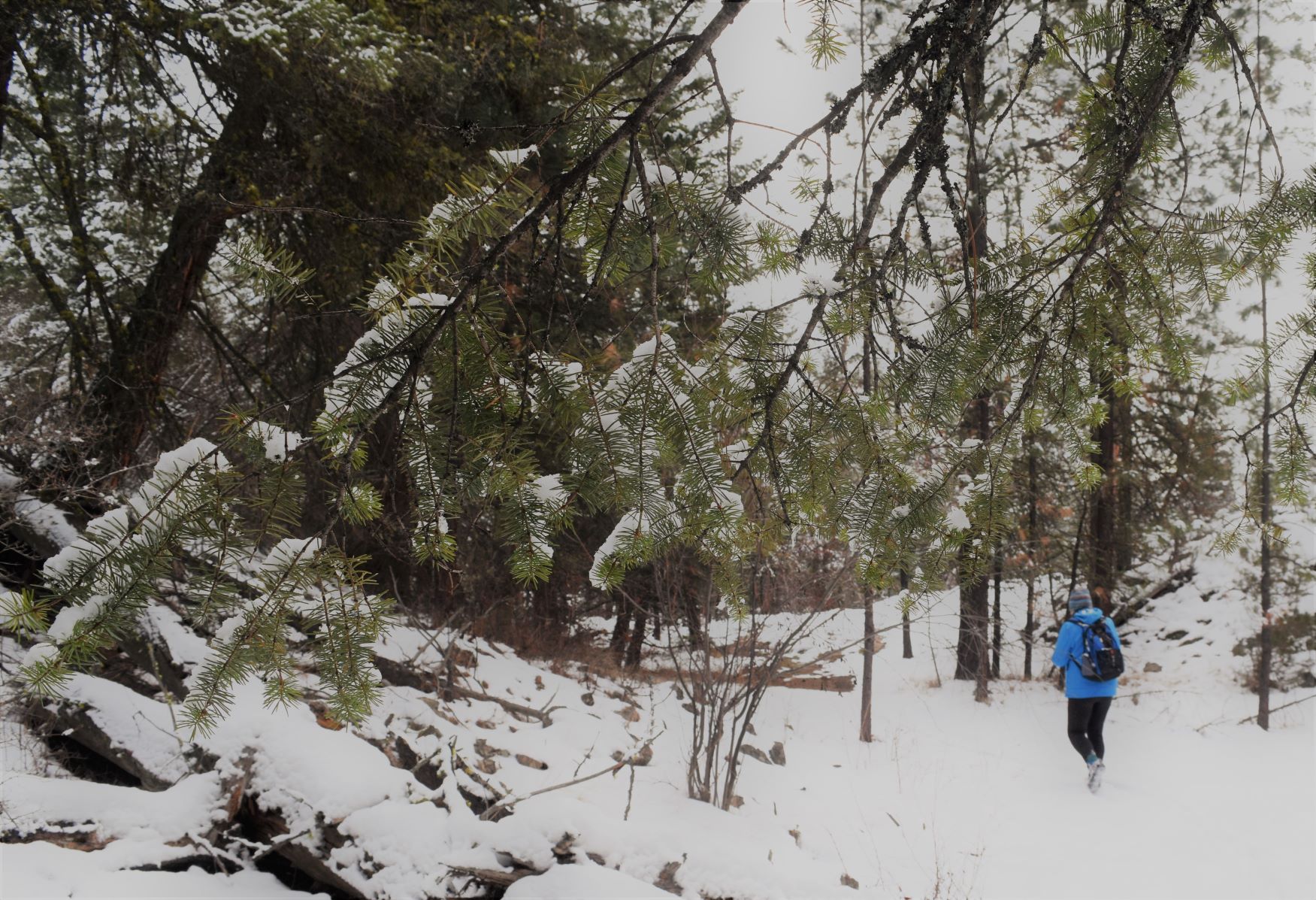
We found it by locating a parking area close by on the KVR and walking back to the trailhead. I was very glad of my ice-grip spikey soles and gaiter combo on this hike.

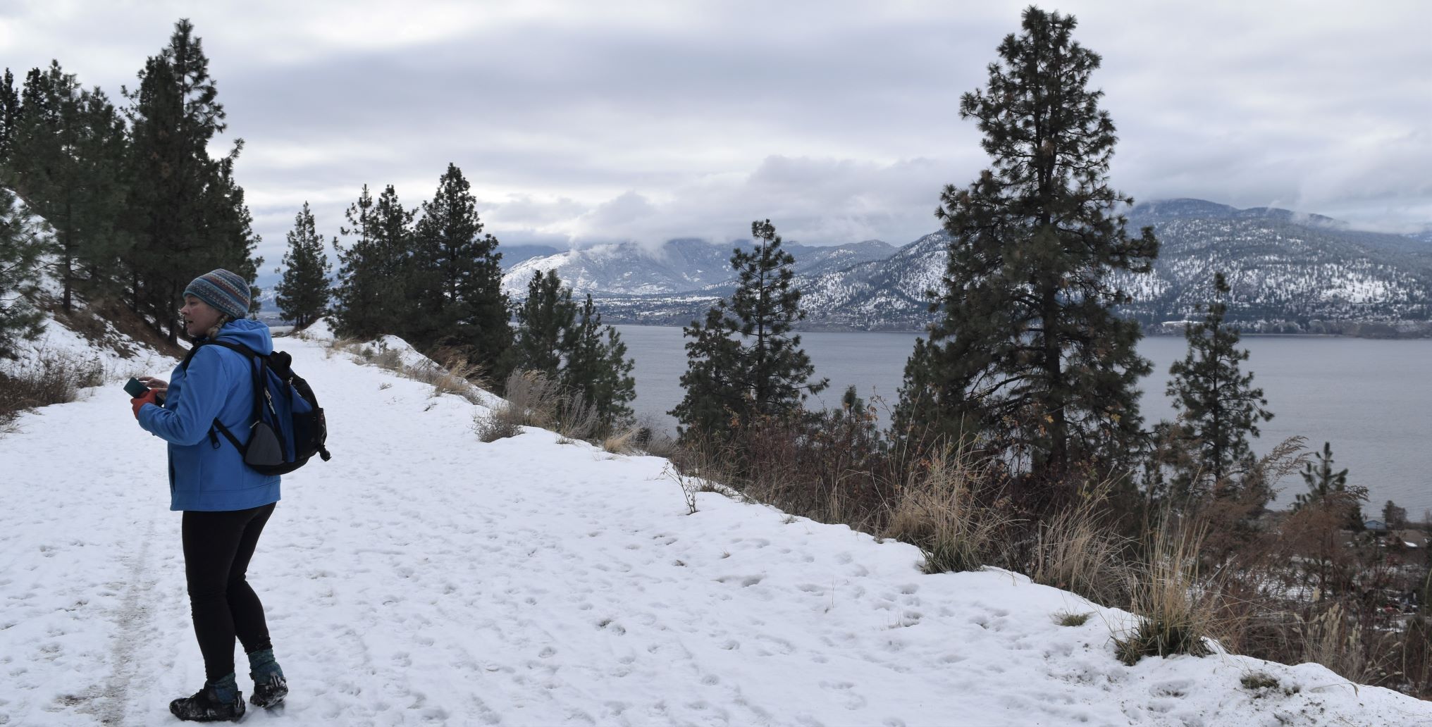
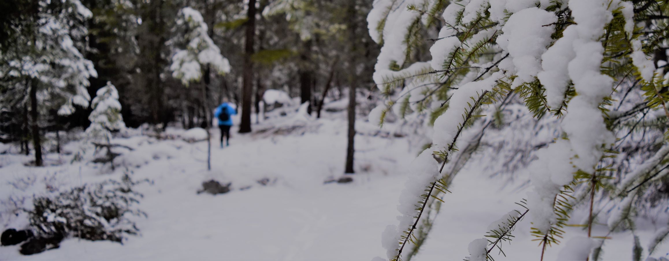
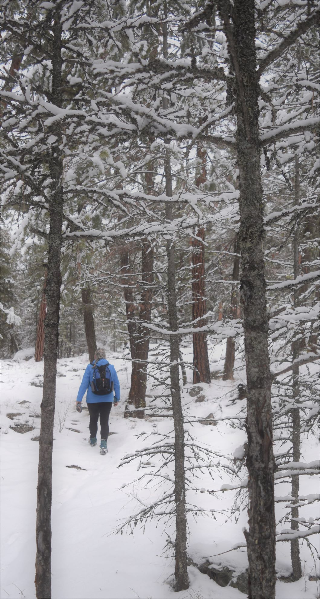
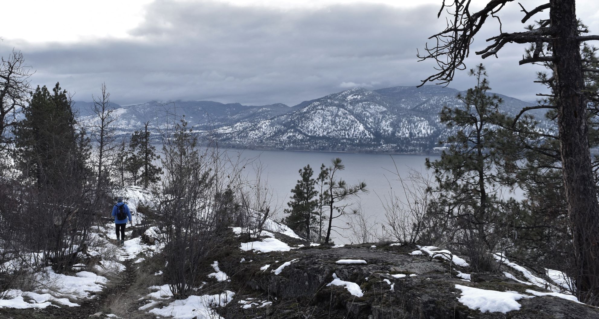
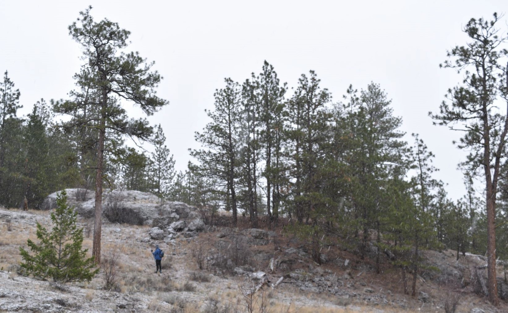
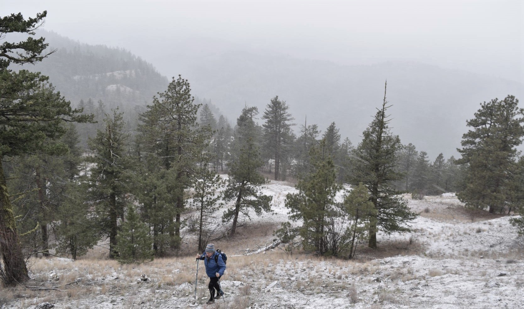
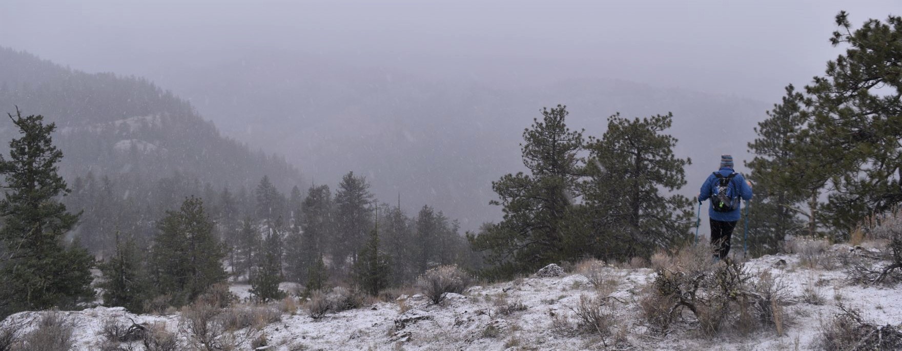
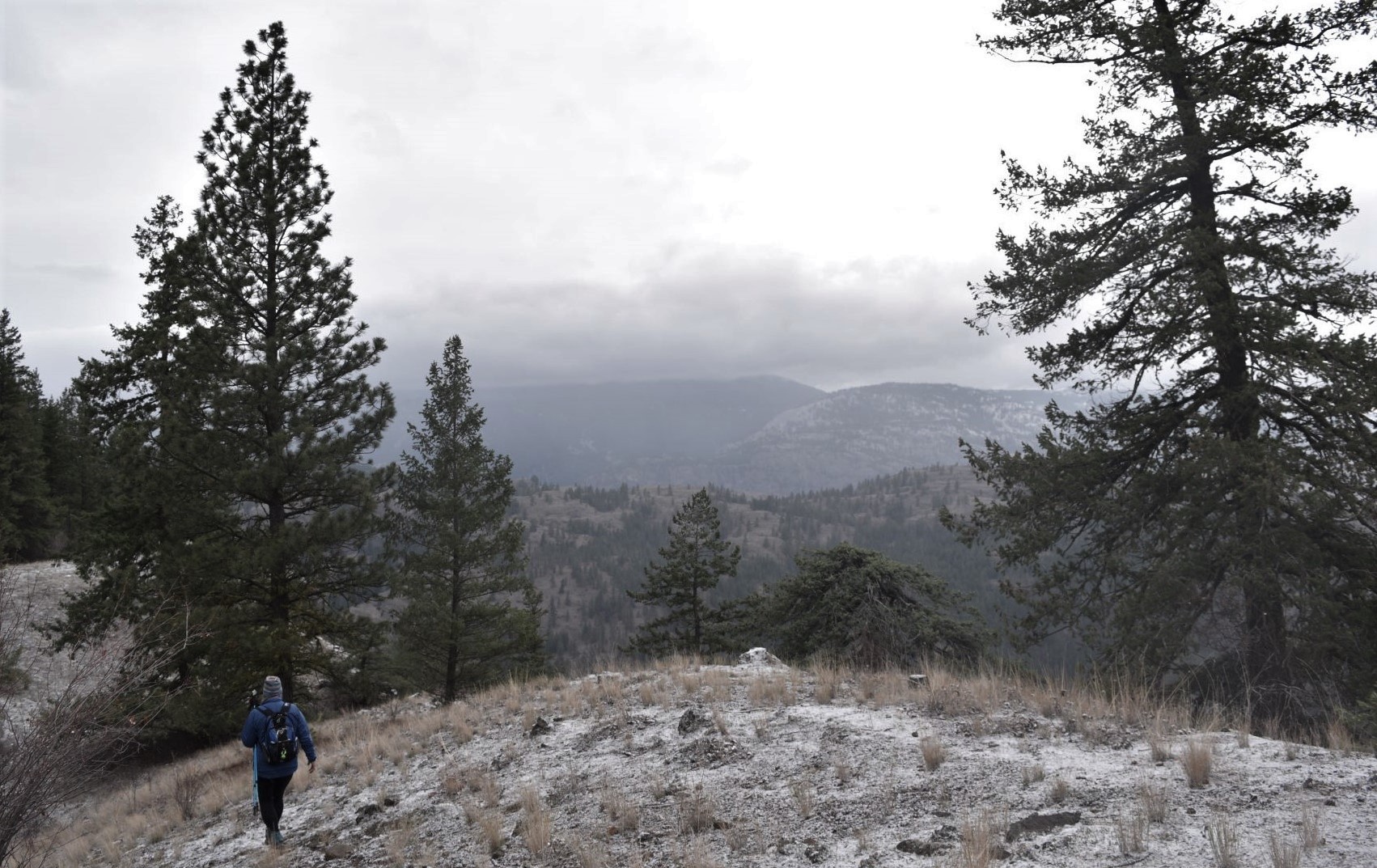
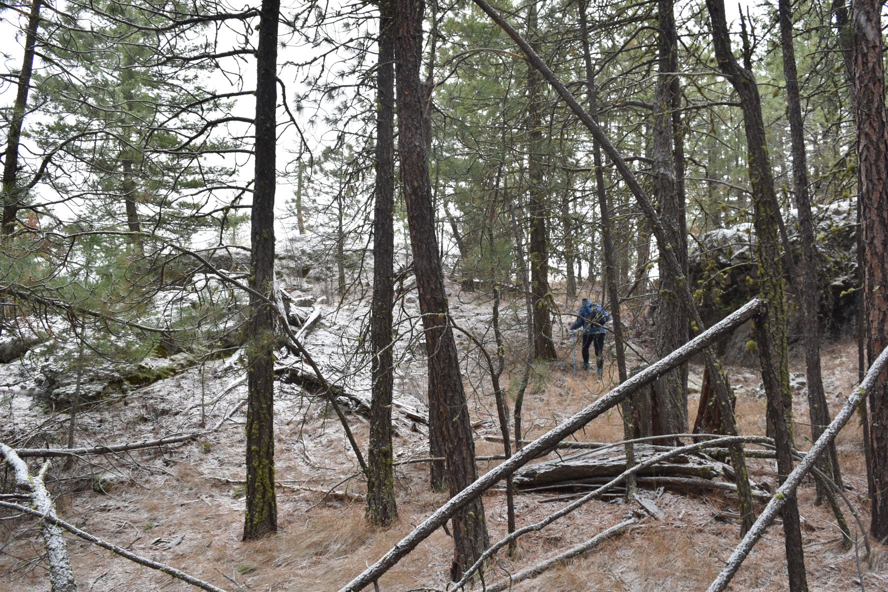
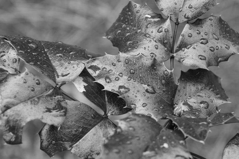
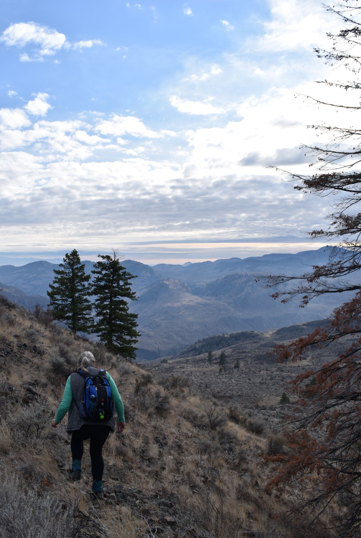
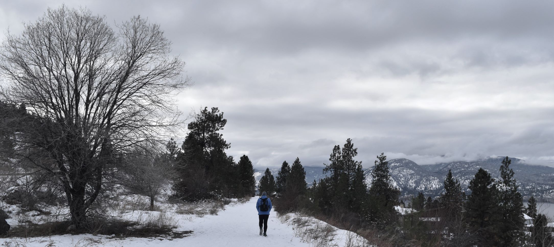
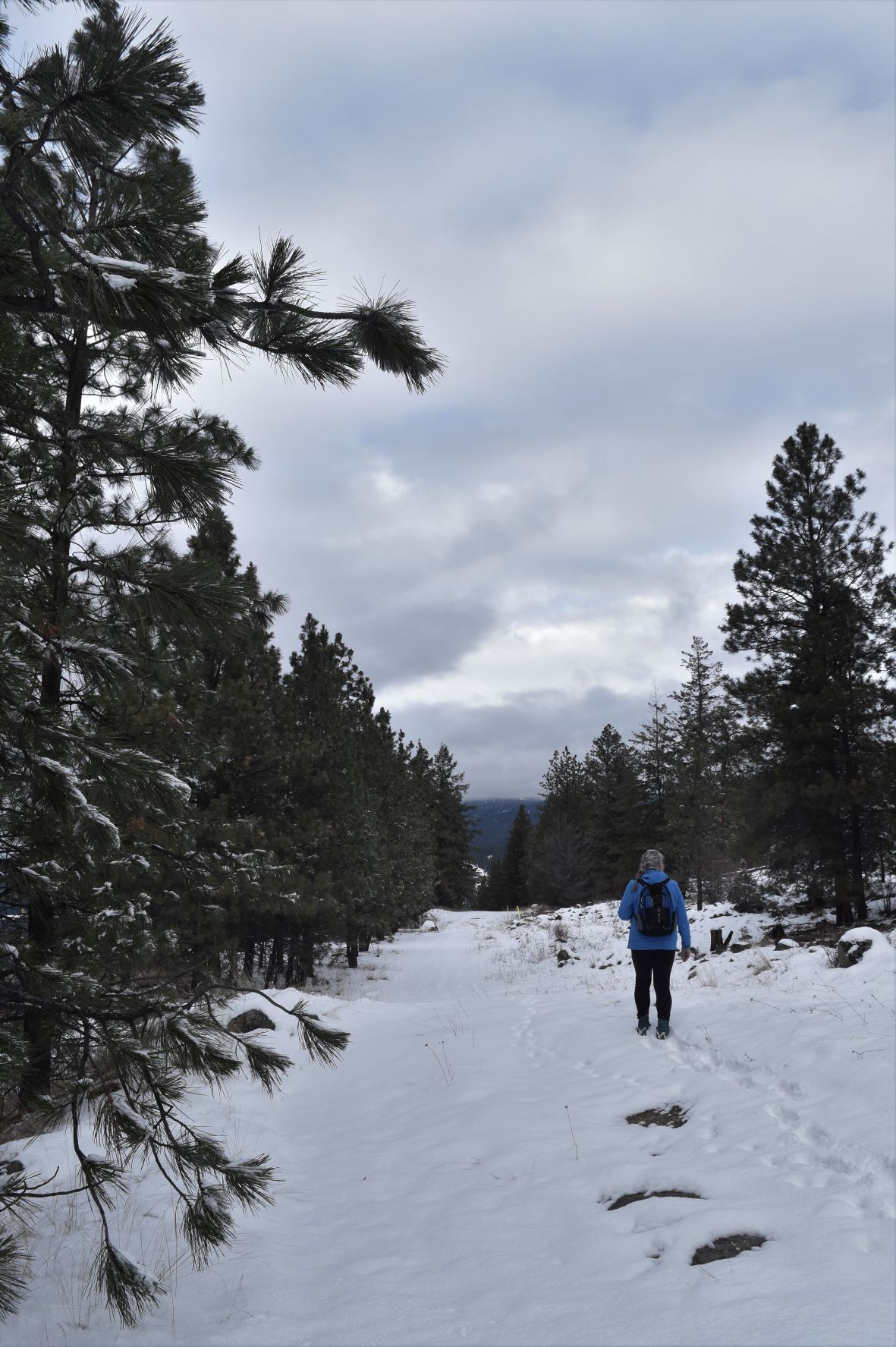
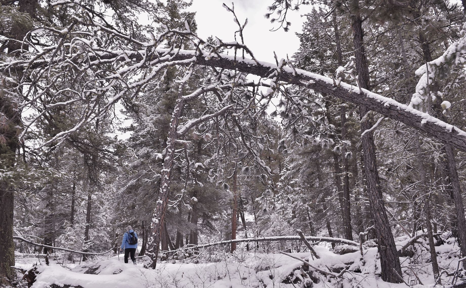
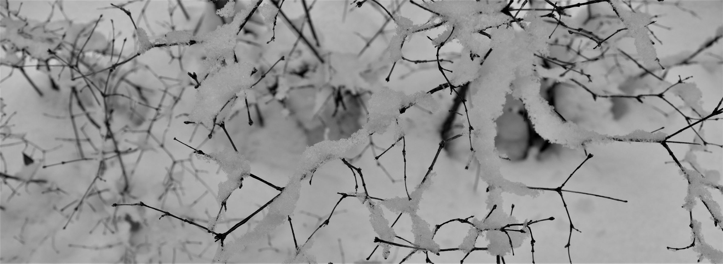
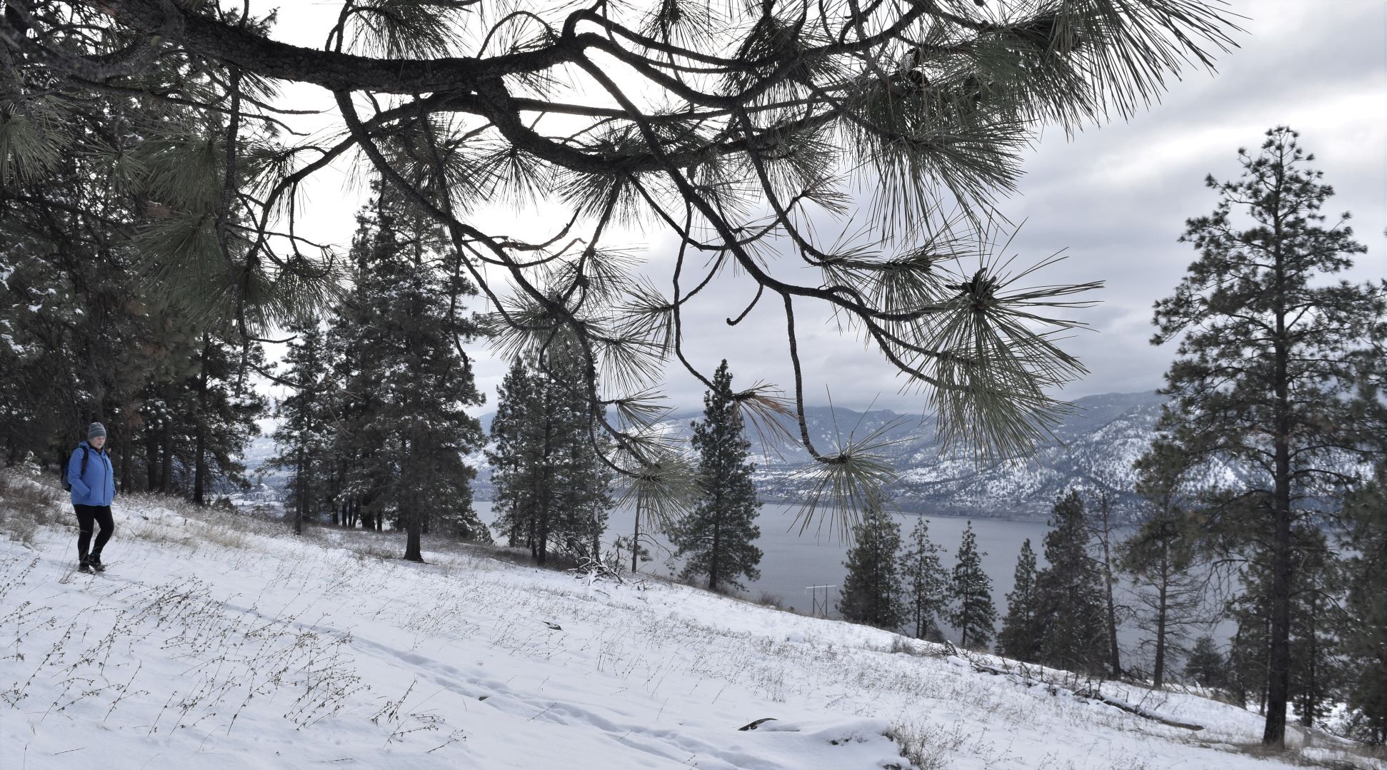
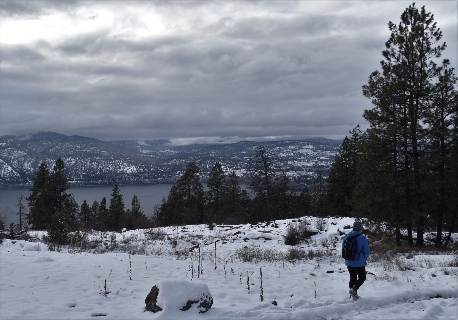
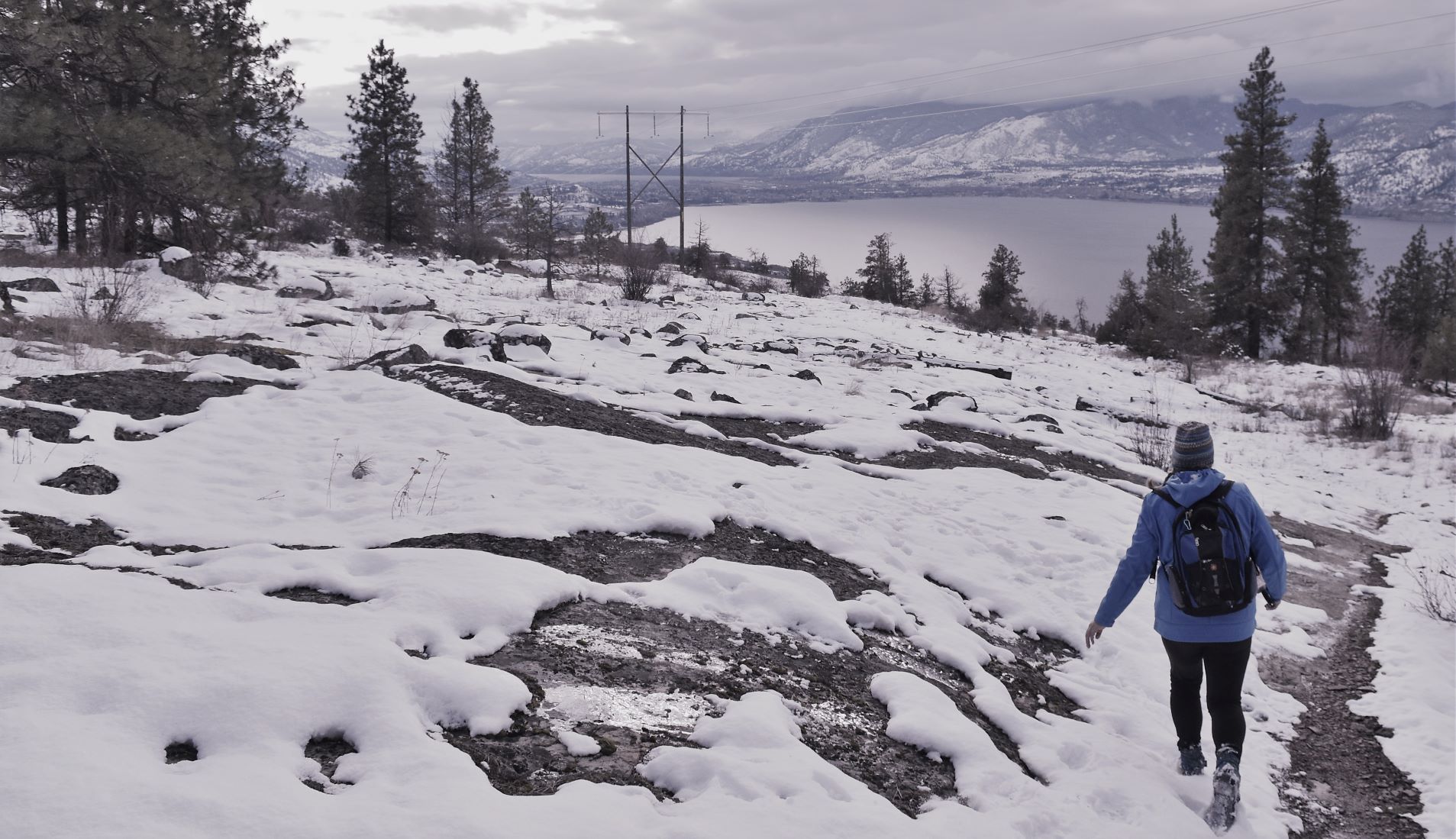
Once we got up to the loop part…we were on virginal snow…(crispy crunchy ) I do love walking in fresh snow…..so I was having a blast…

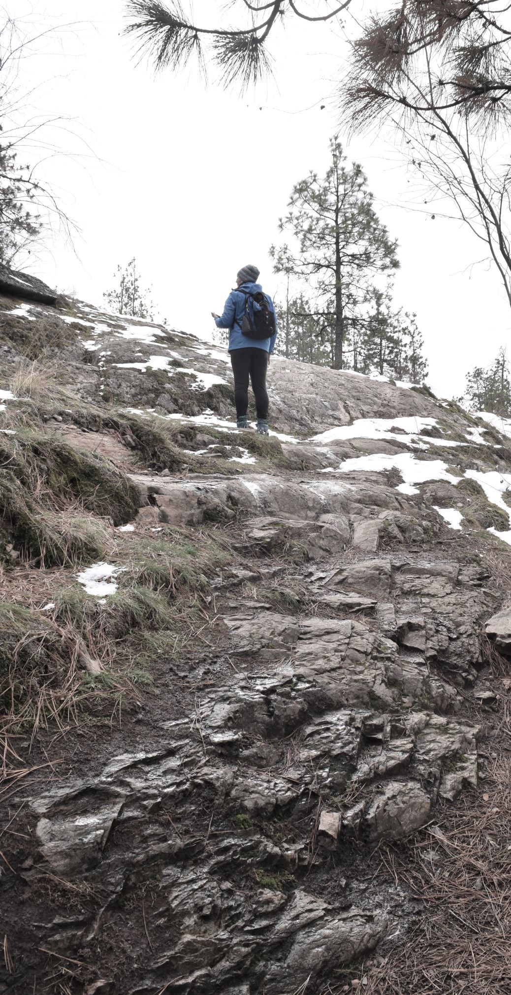
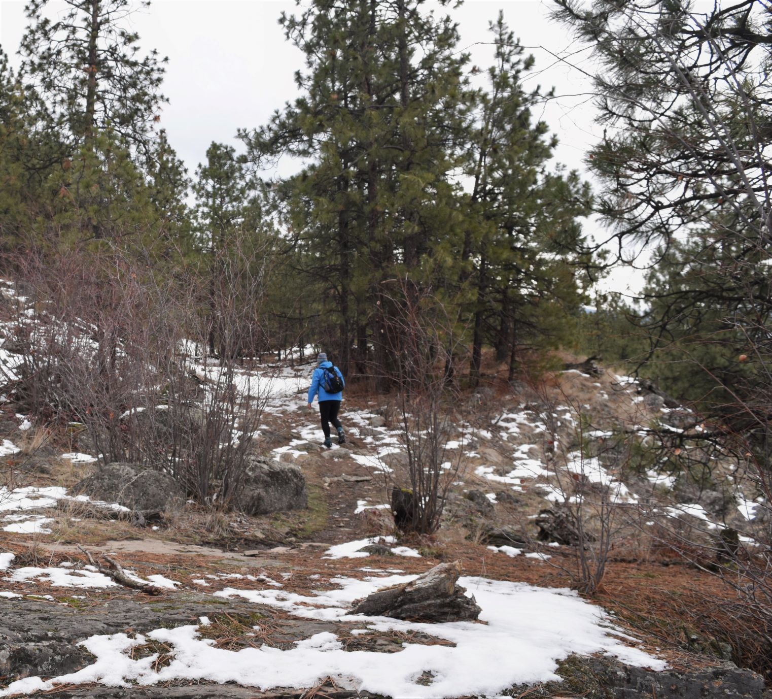
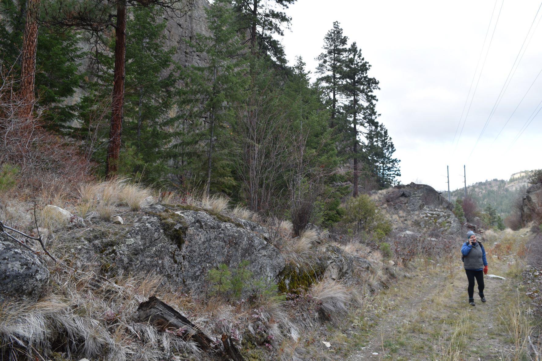
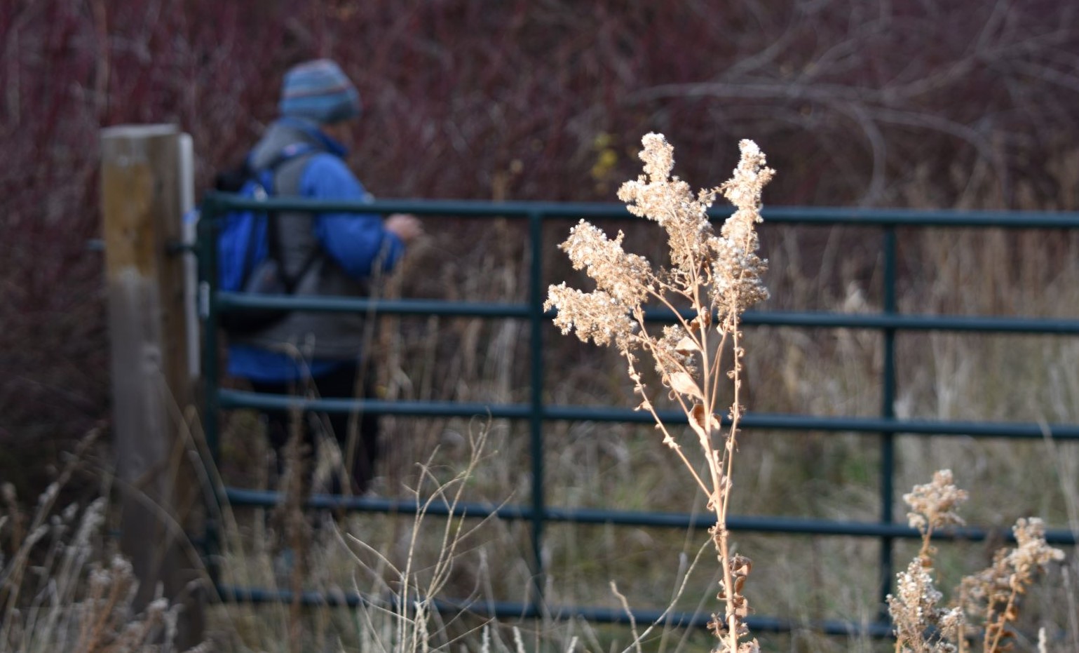
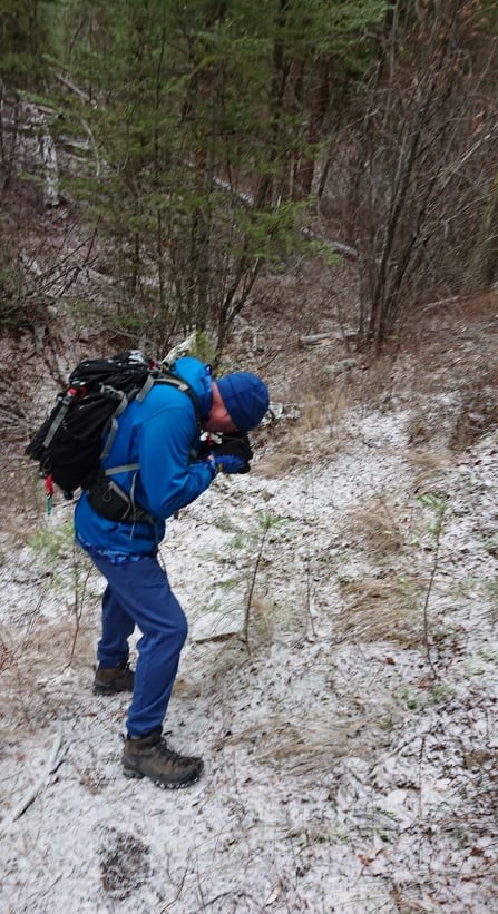
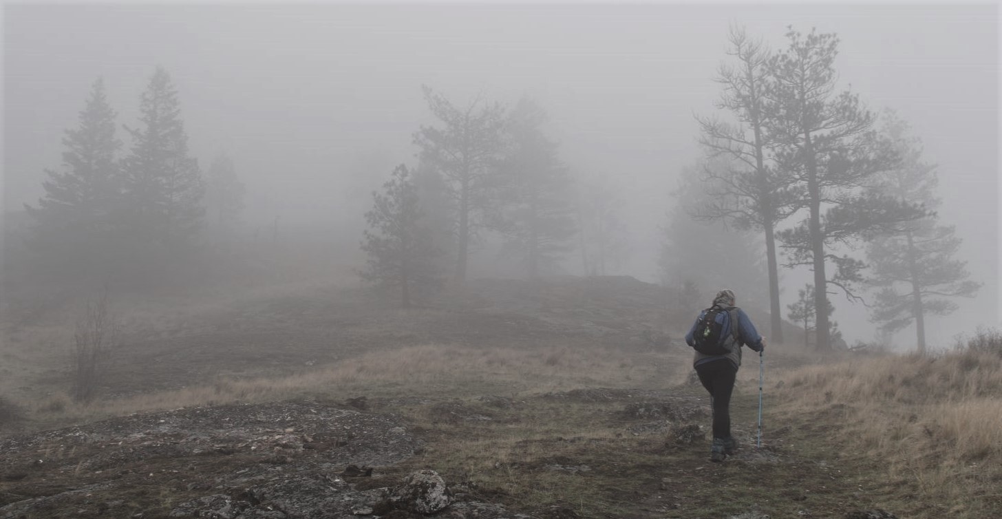
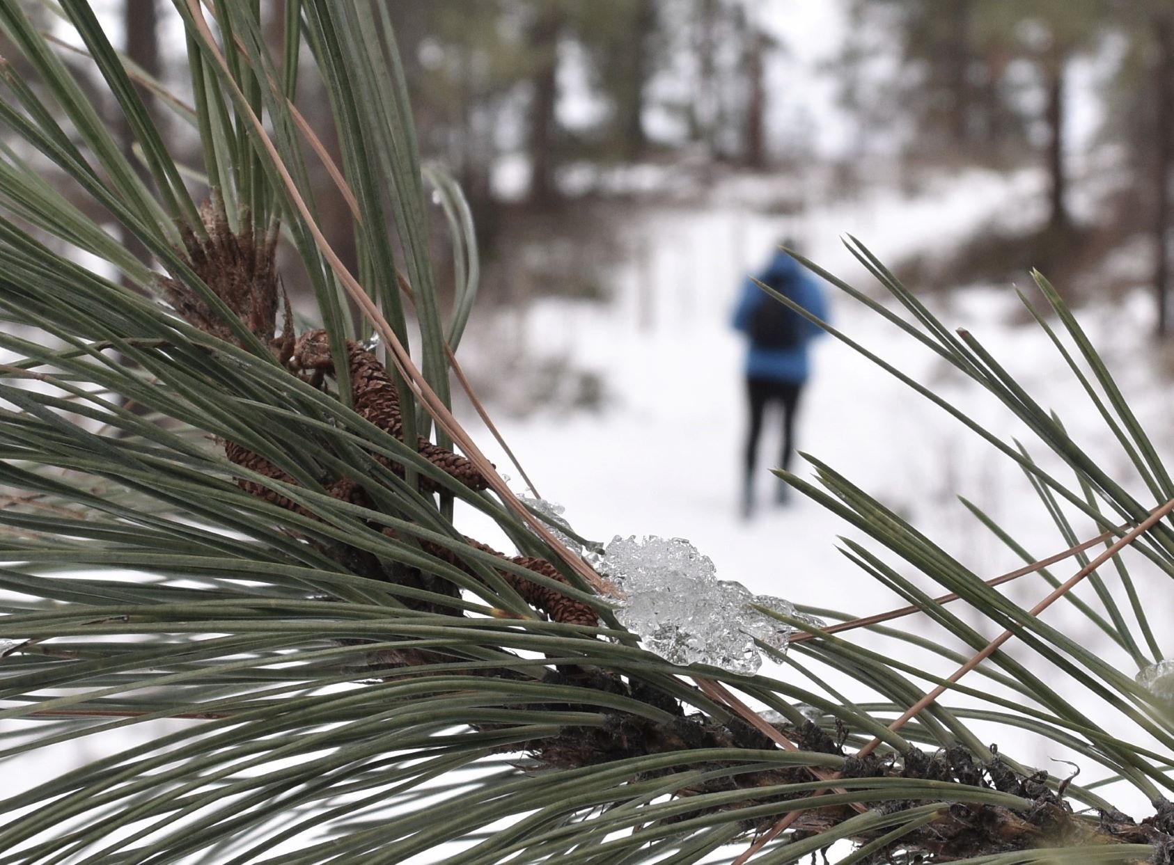
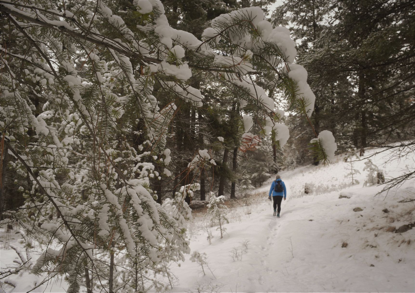
Its a little harder to see the actual trail in the snow……which is why I have my phone in my hand in most of the pictures…lol…..

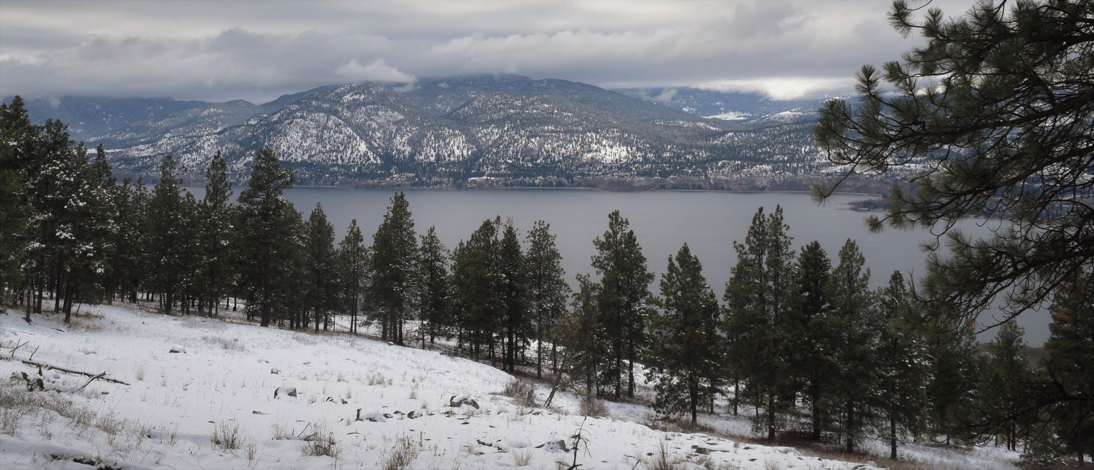
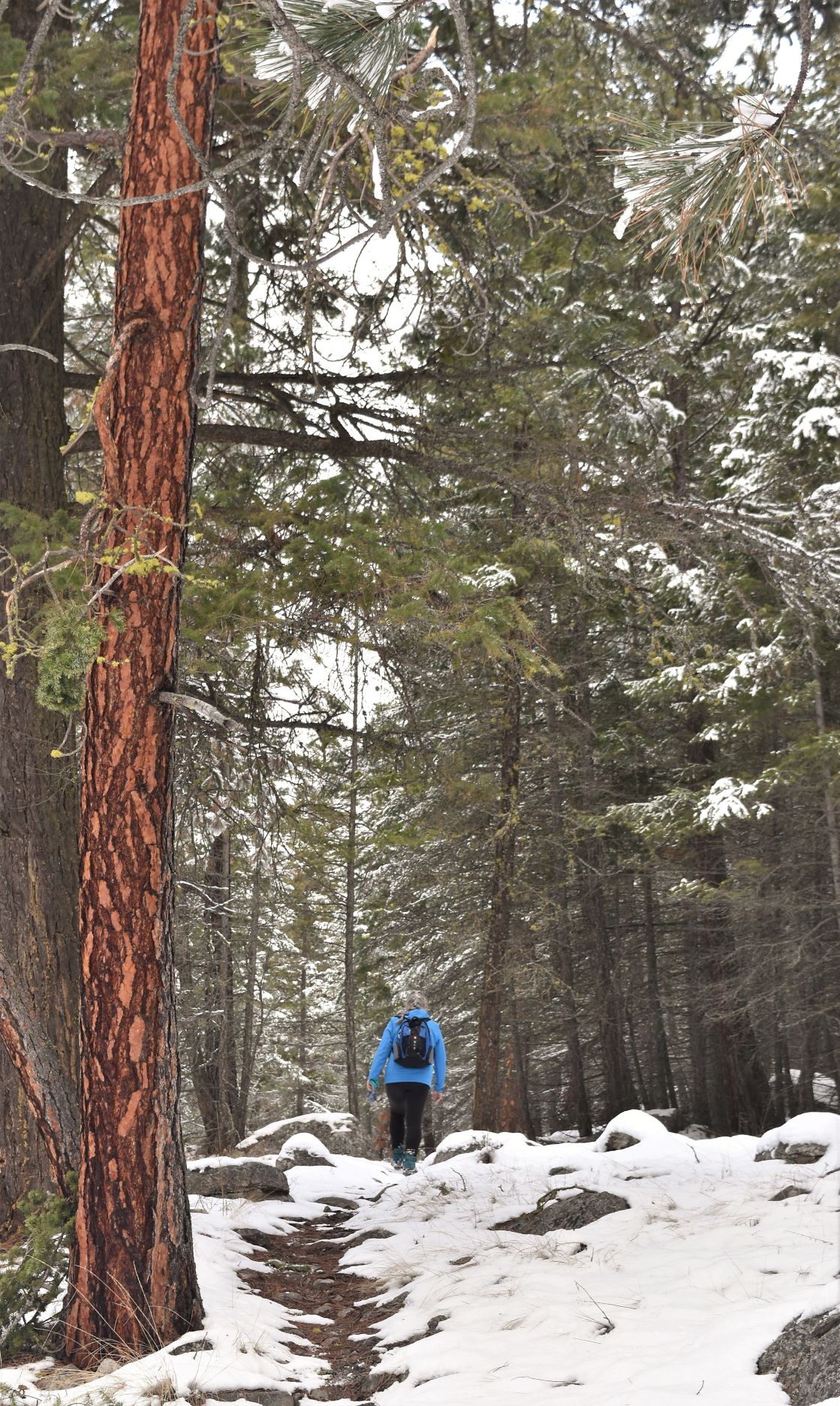
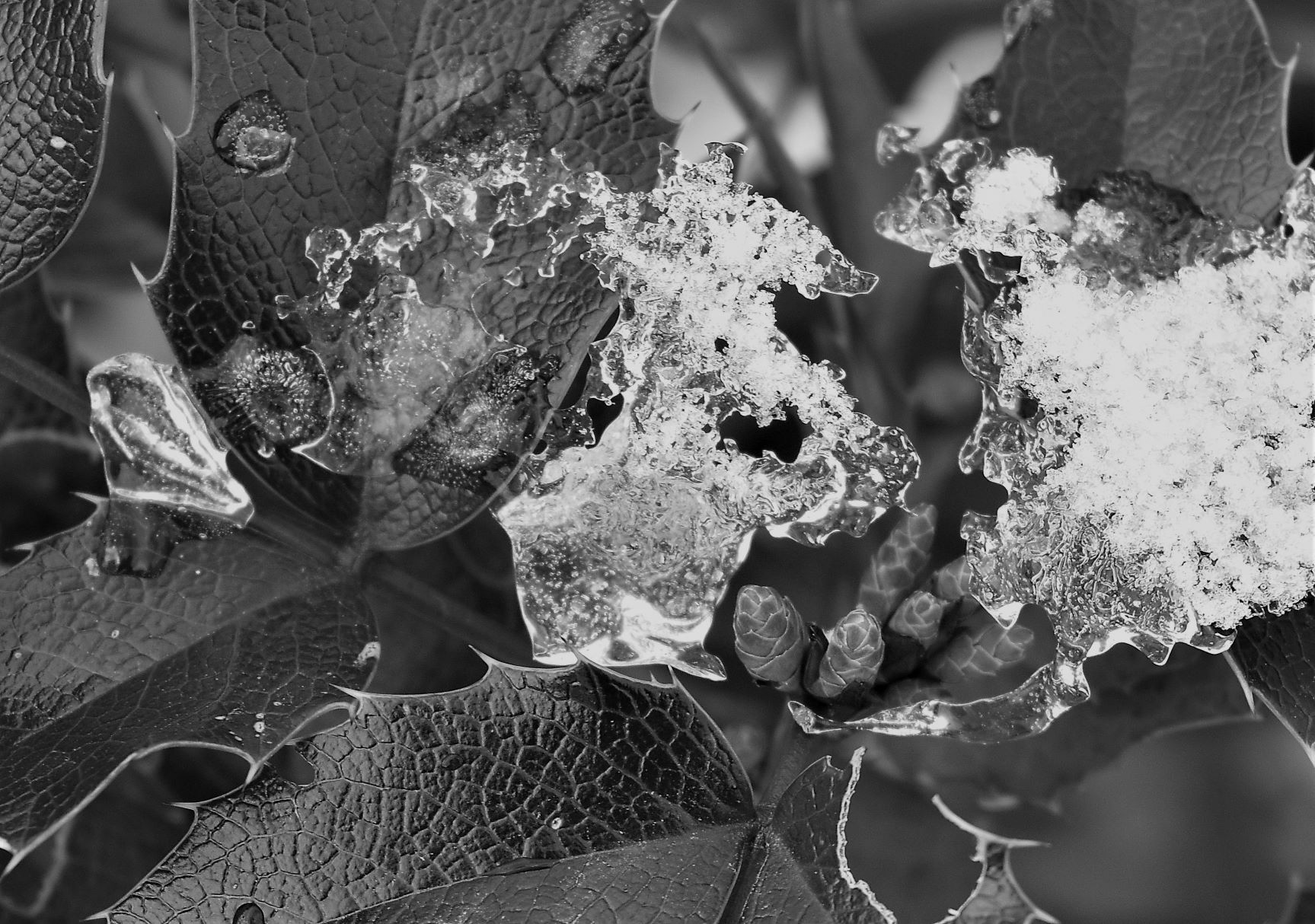
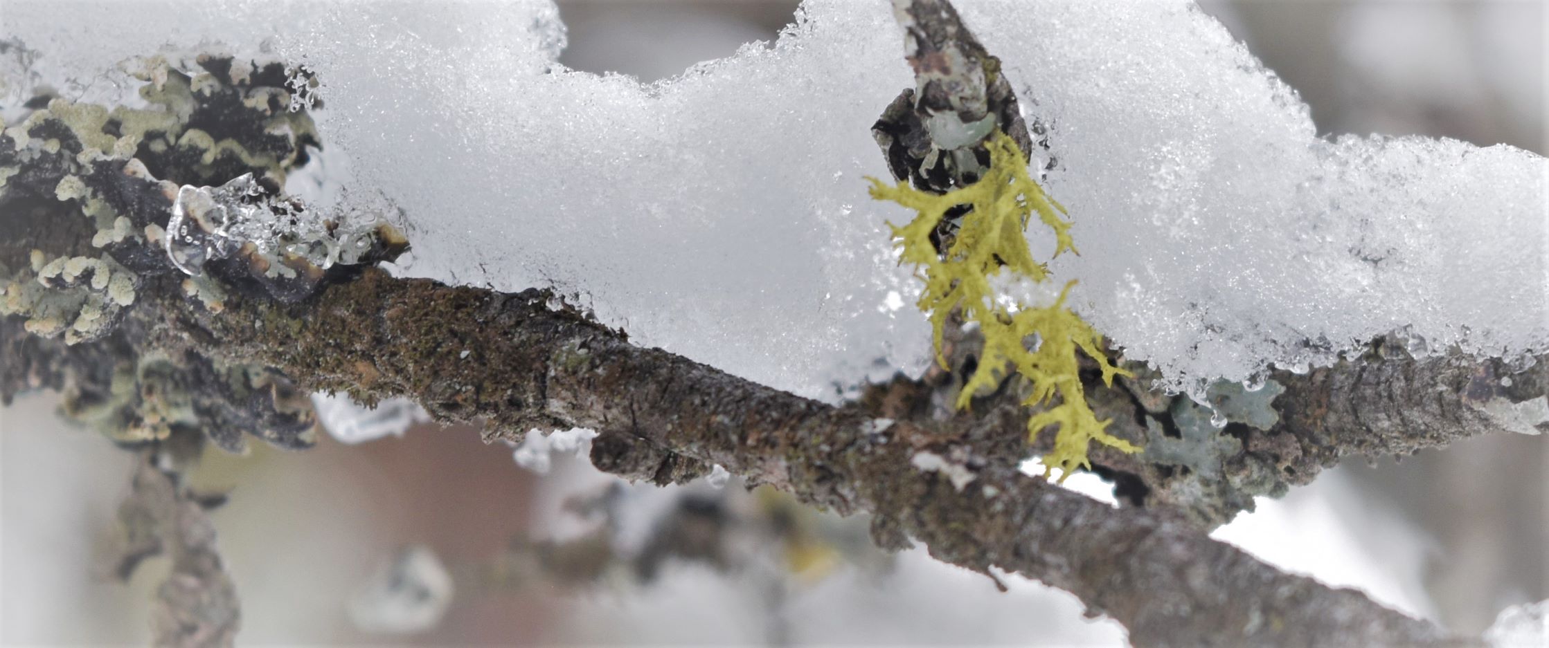
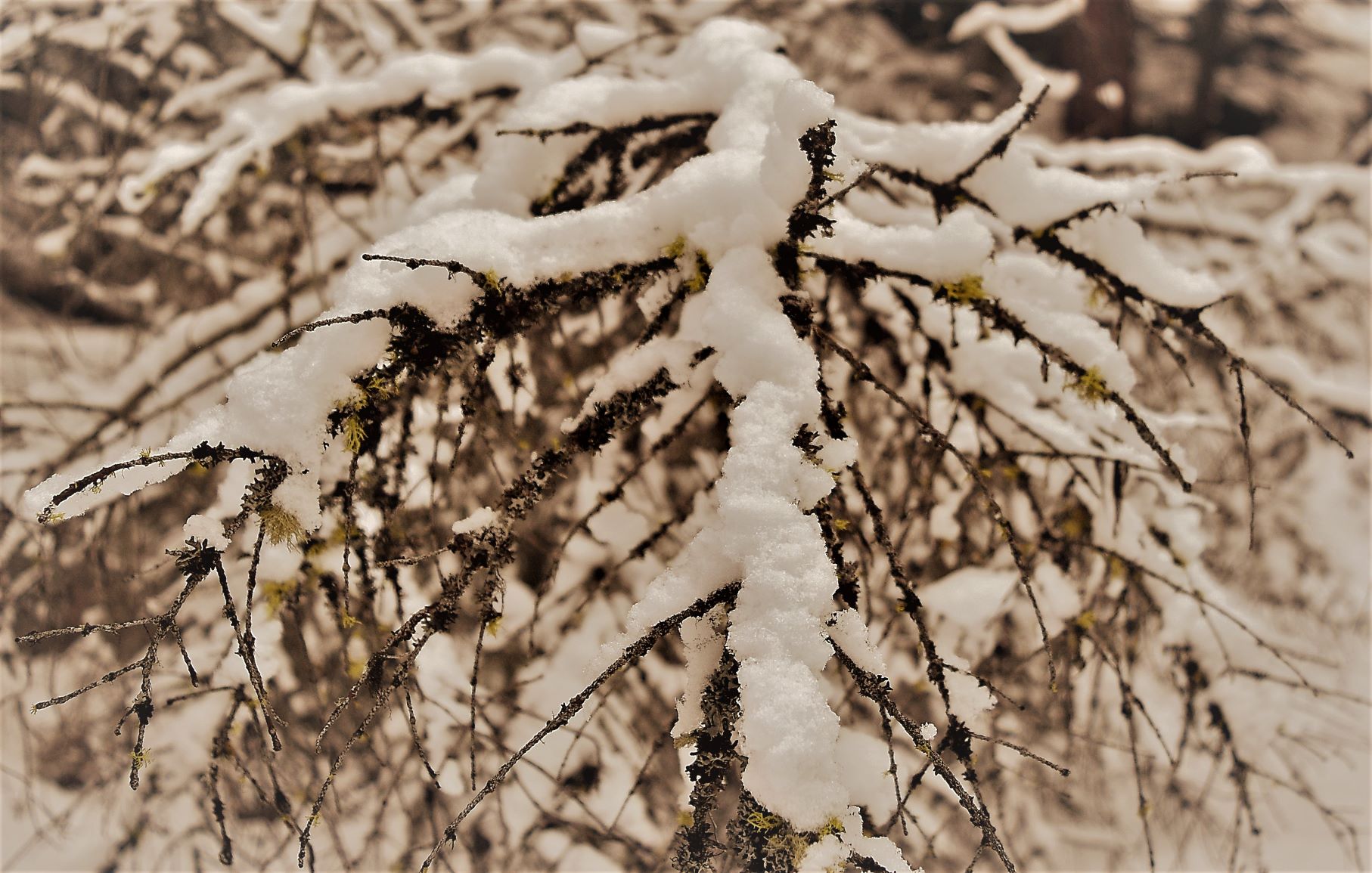
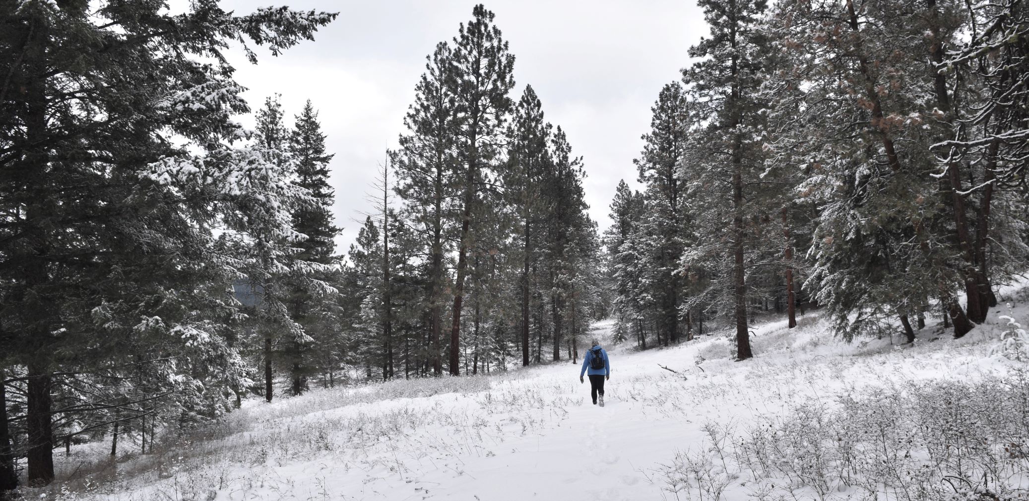
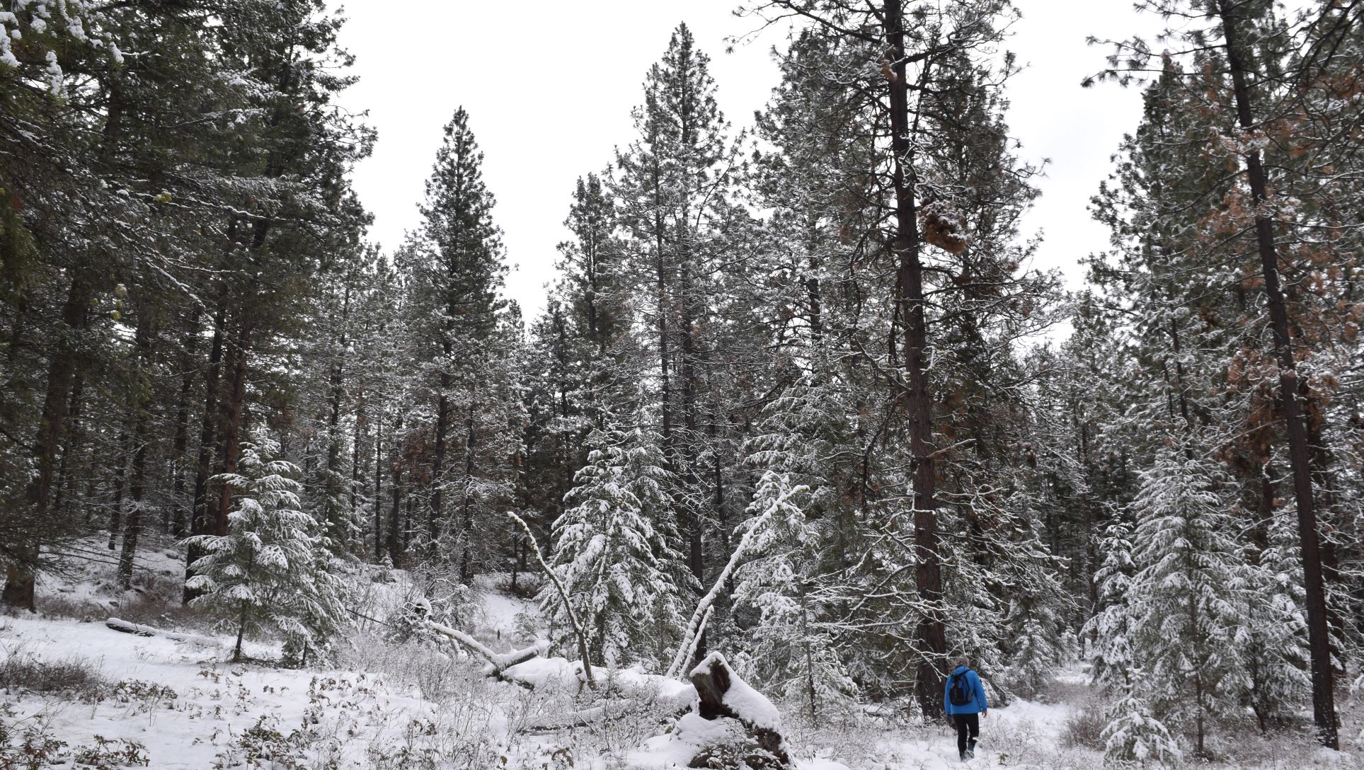
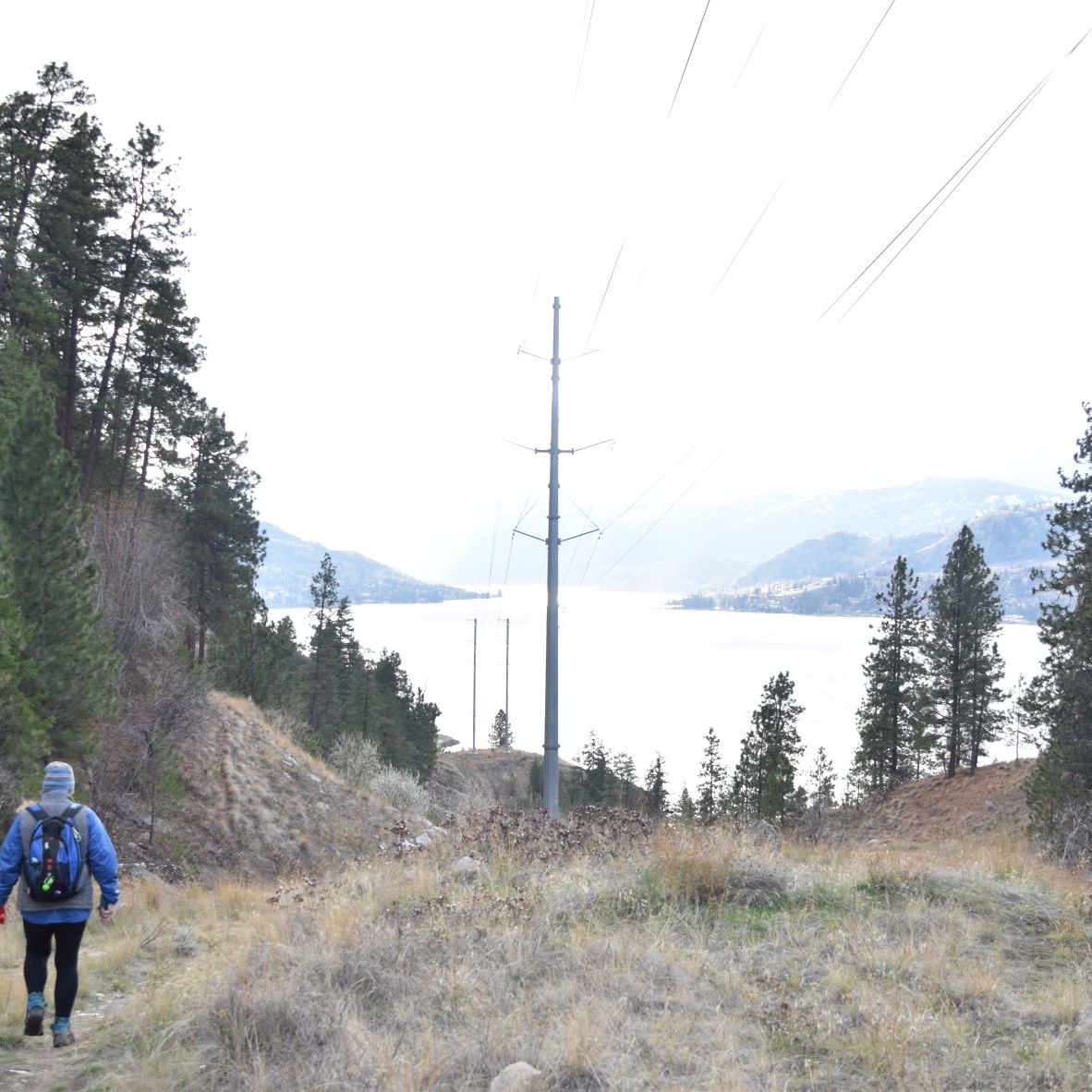
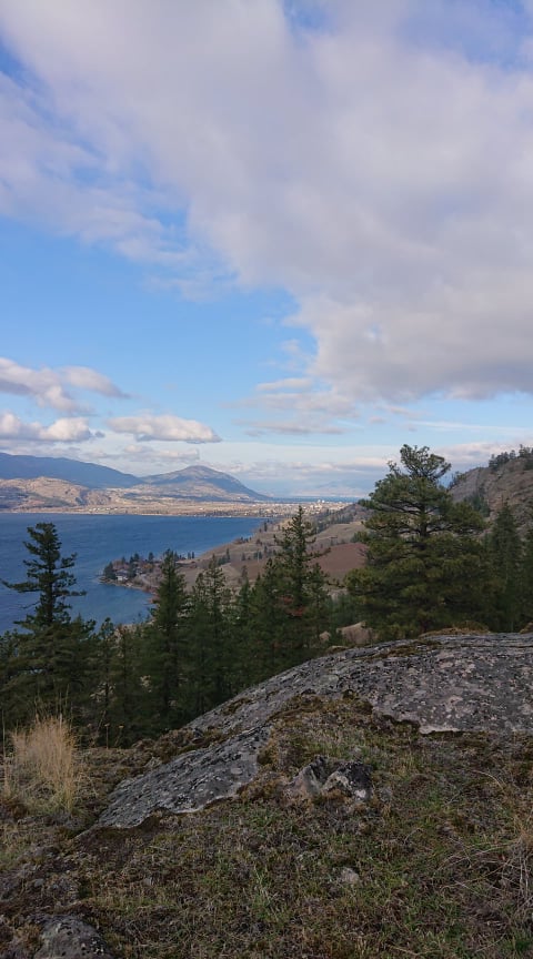
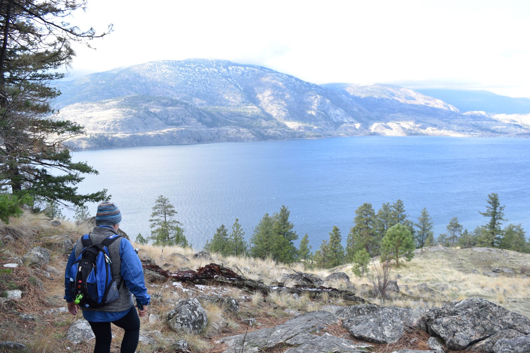
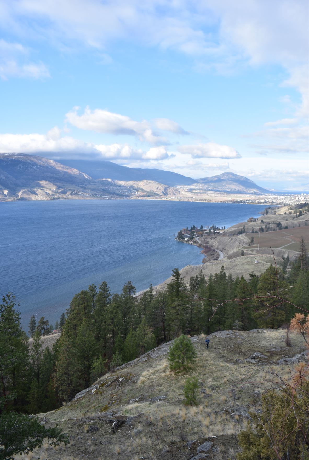
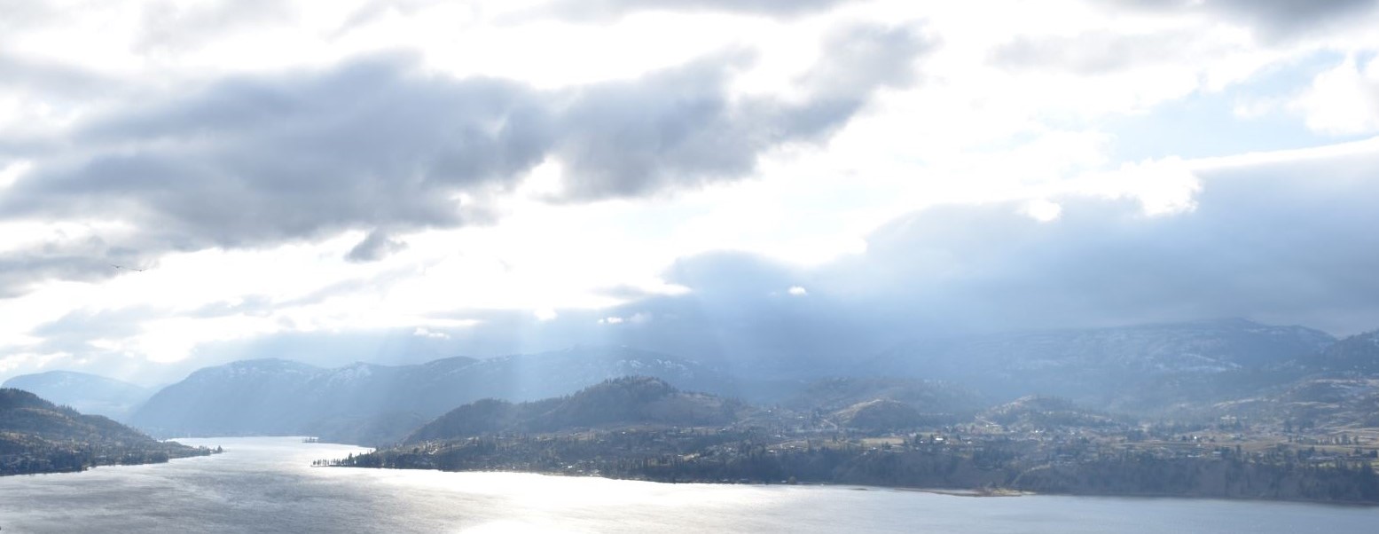
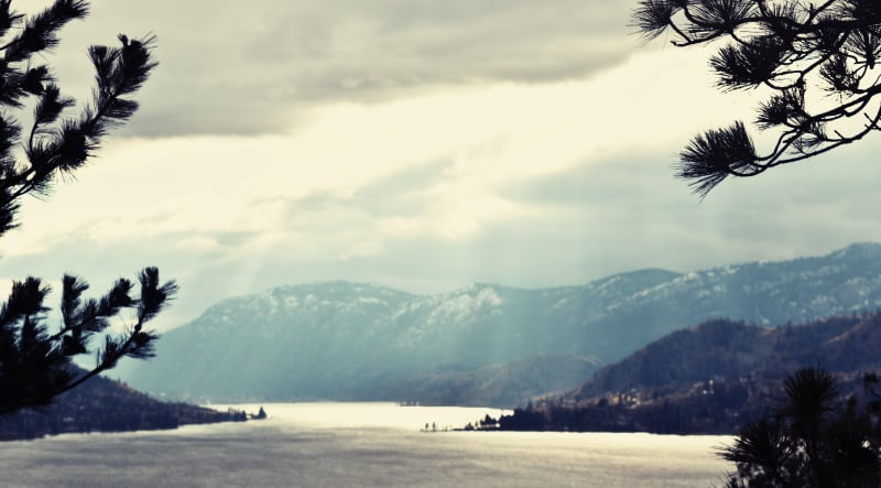
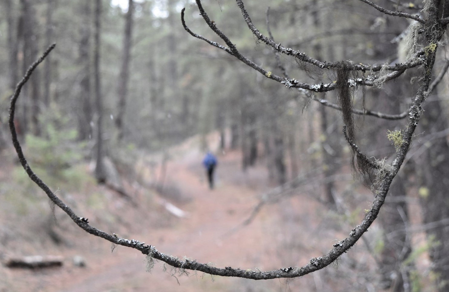
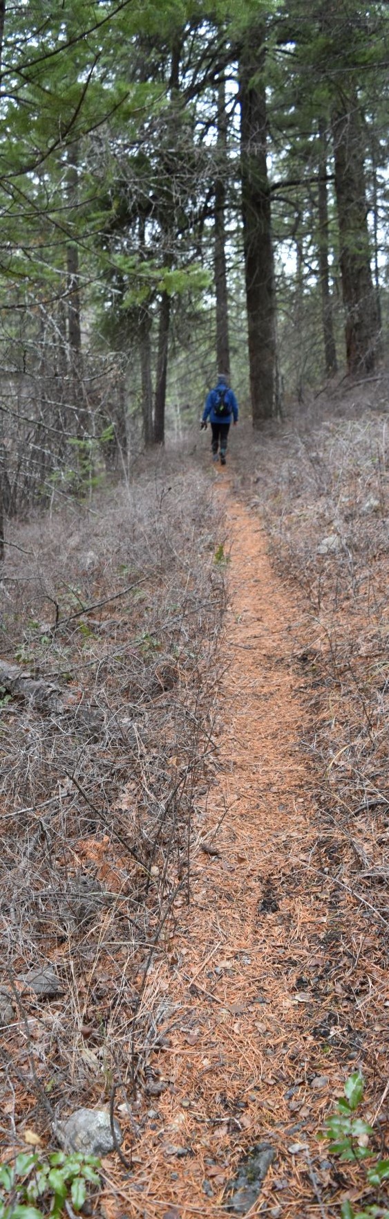
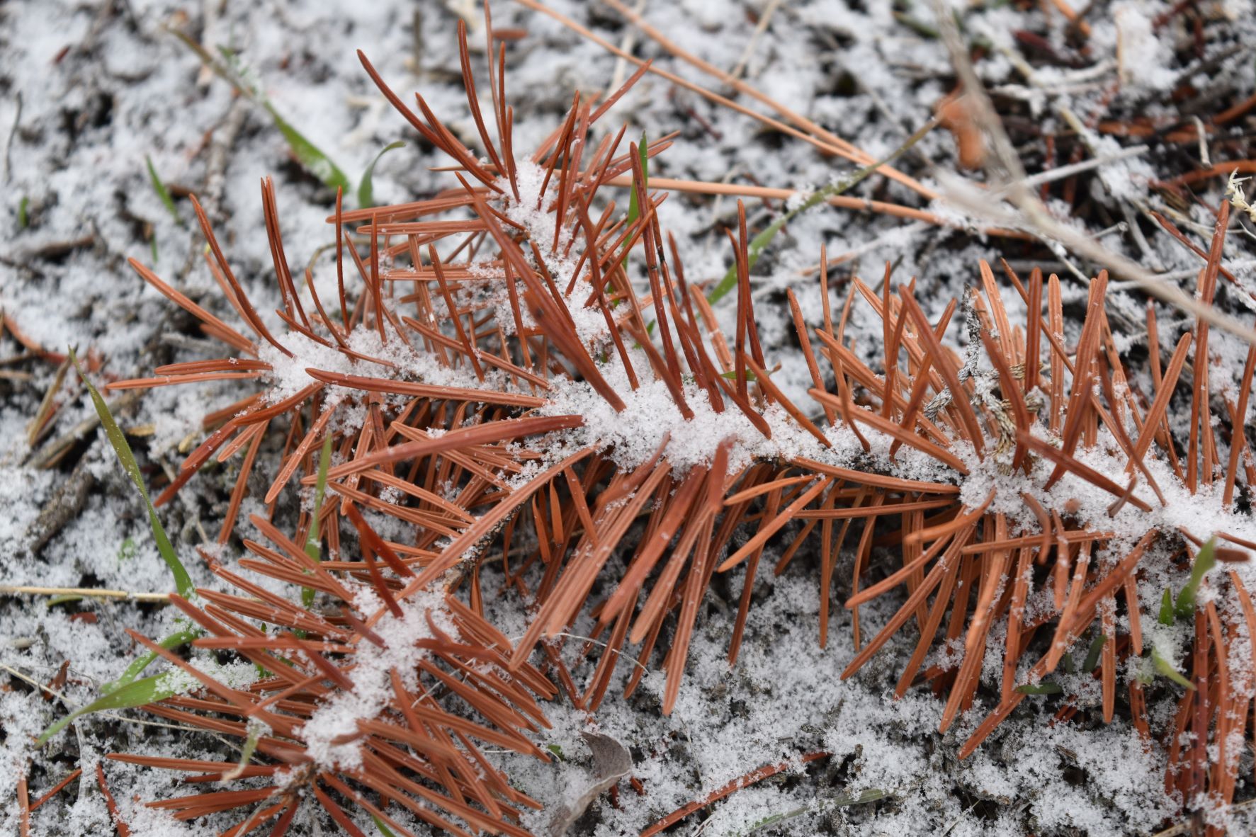
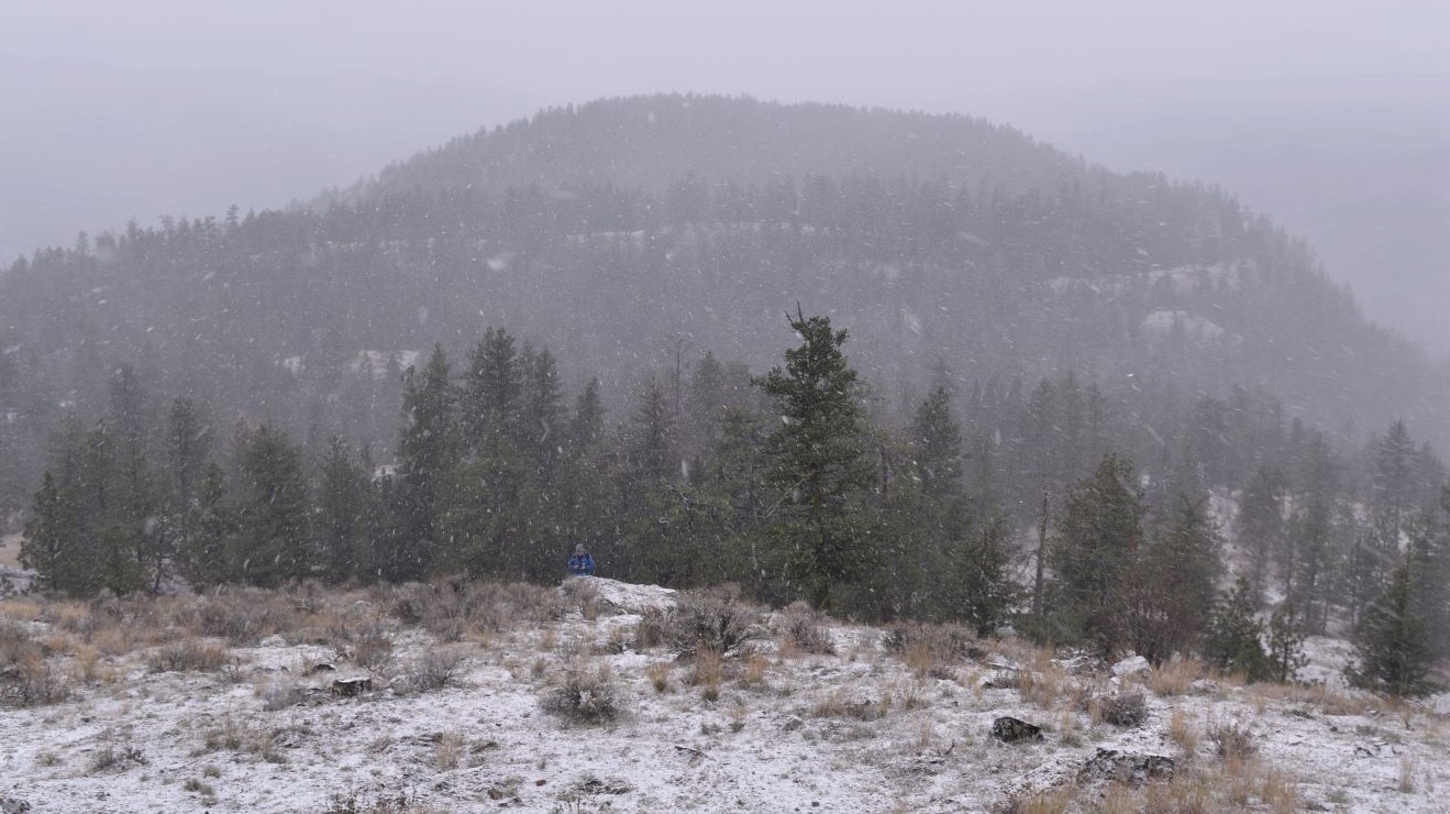
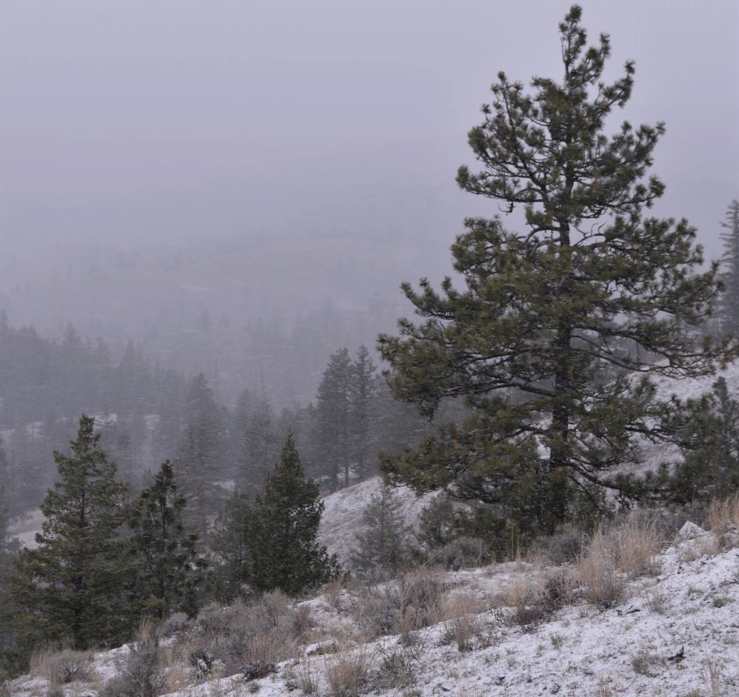
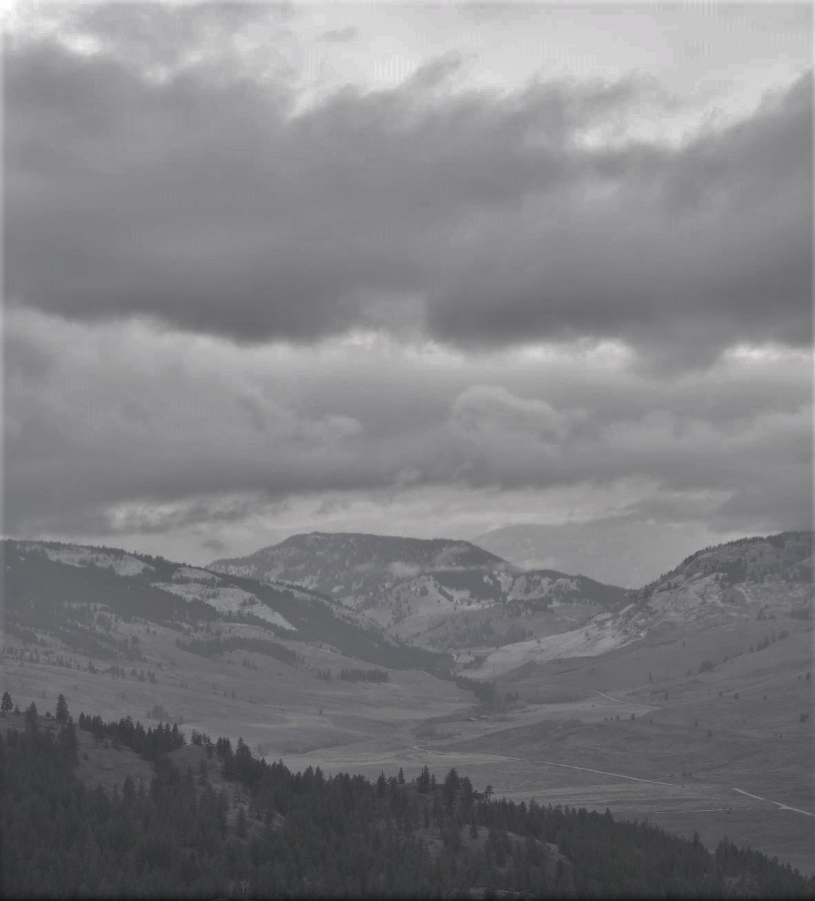
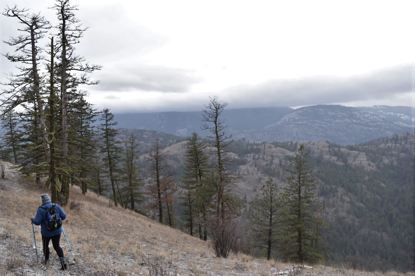
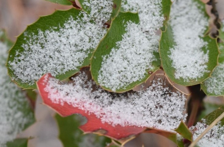
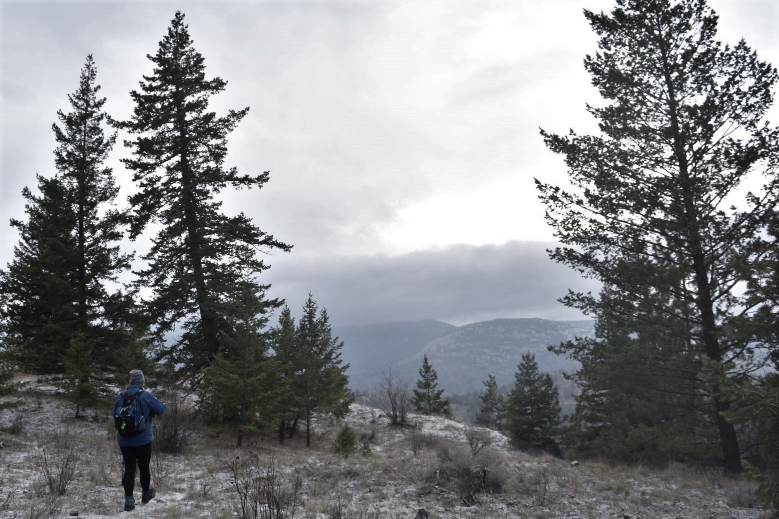
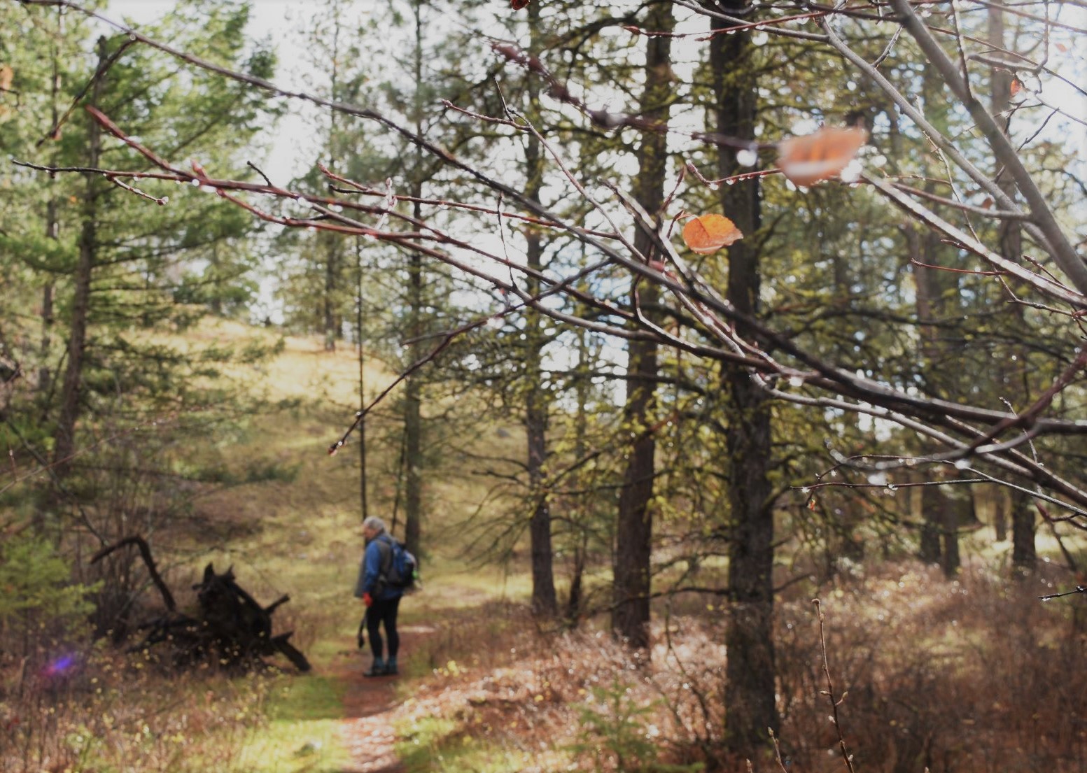
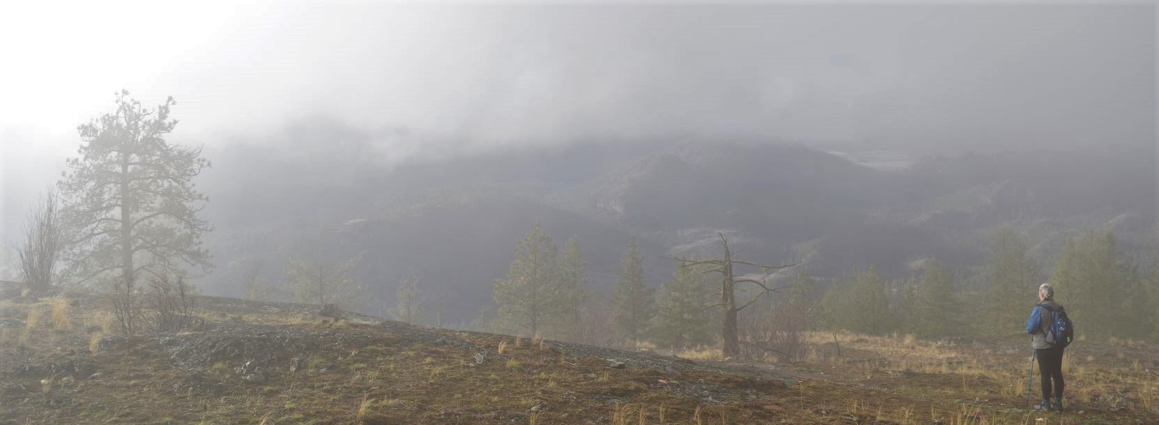
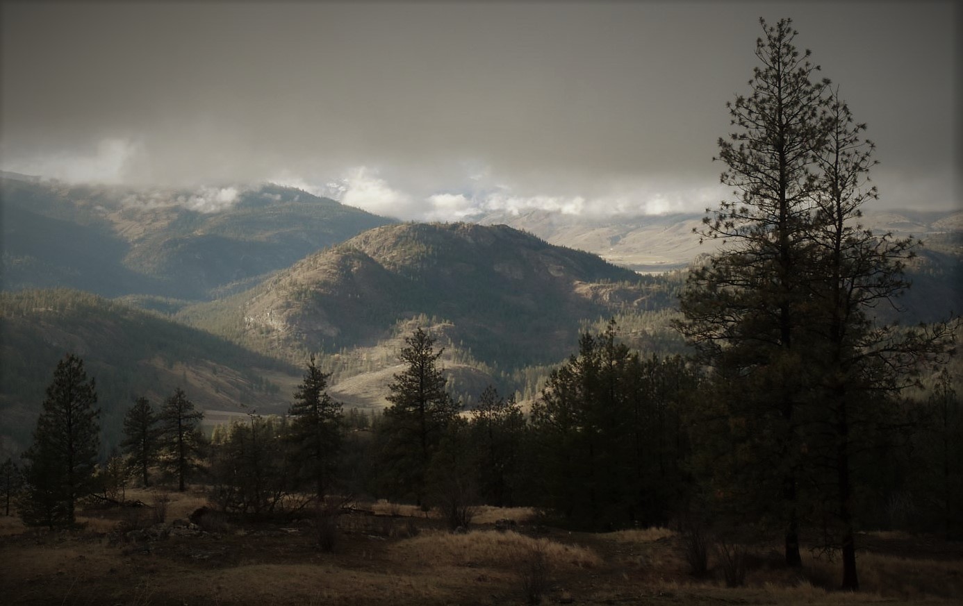
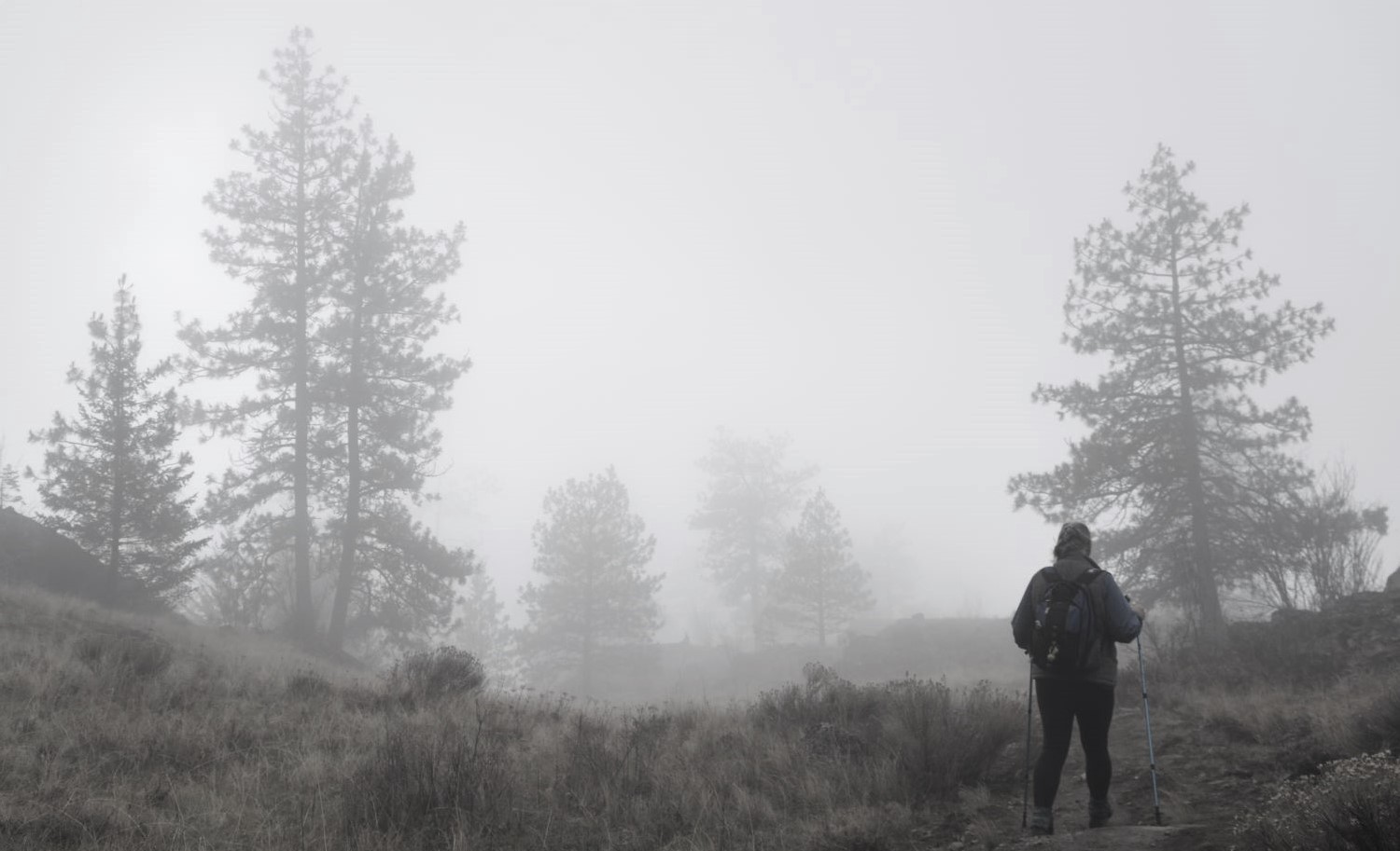
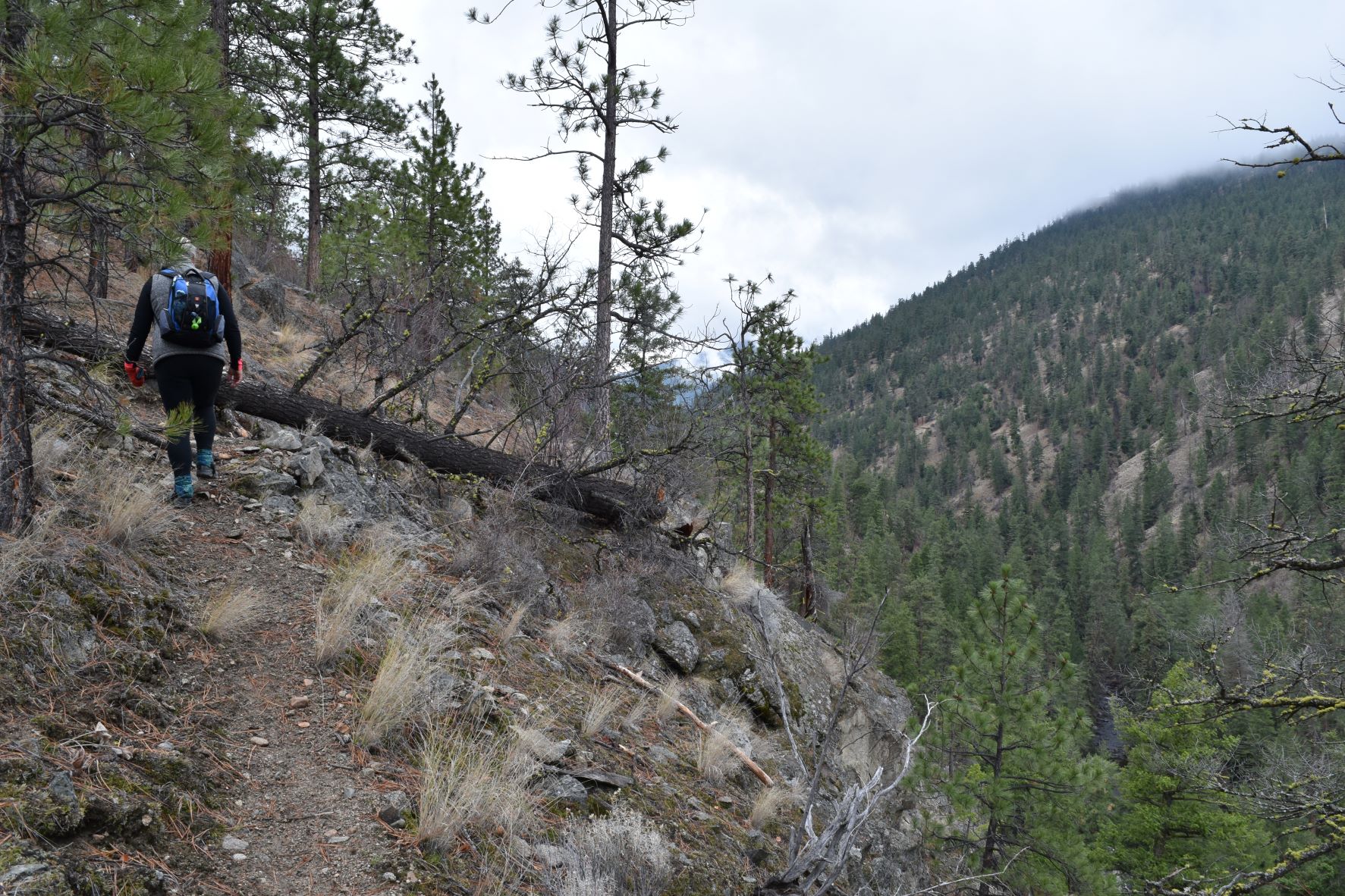
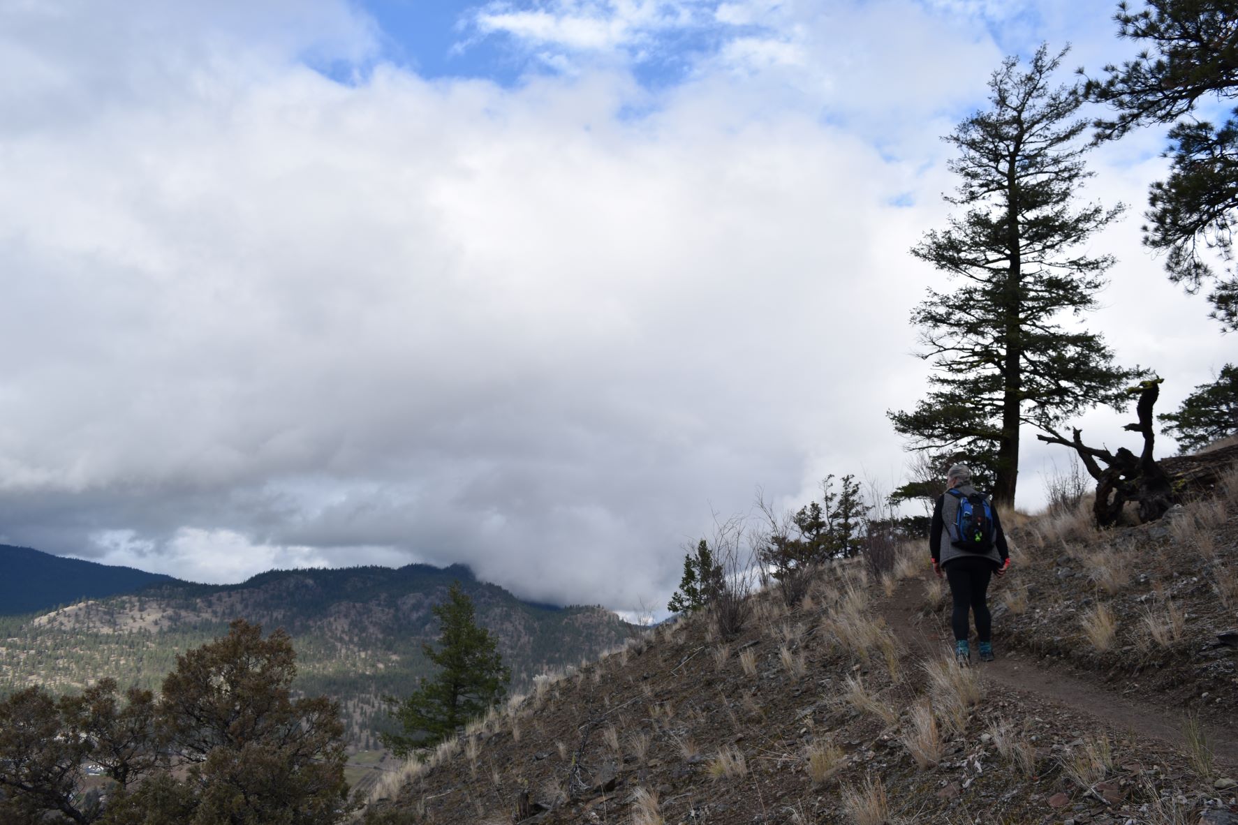
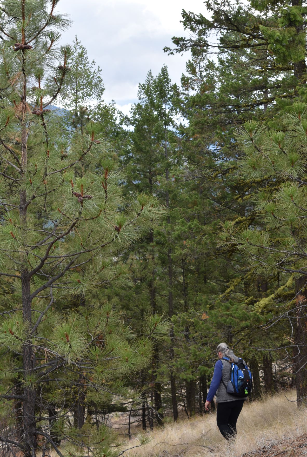
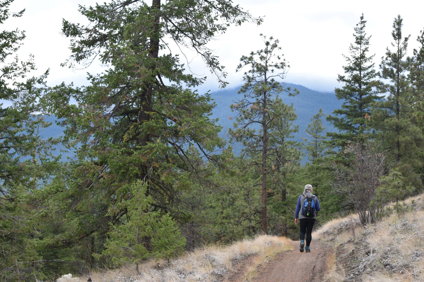
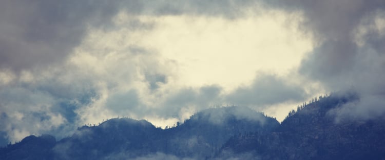
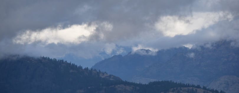
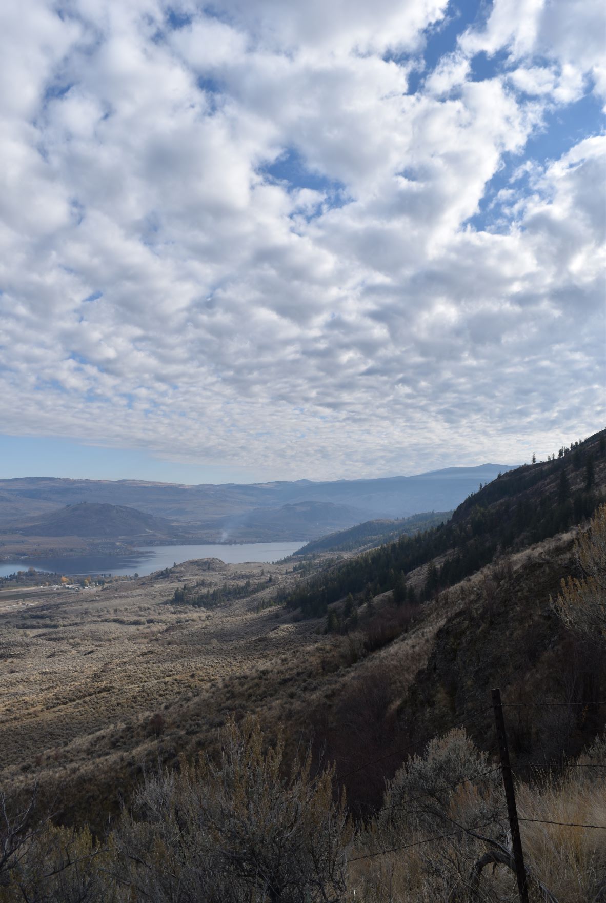
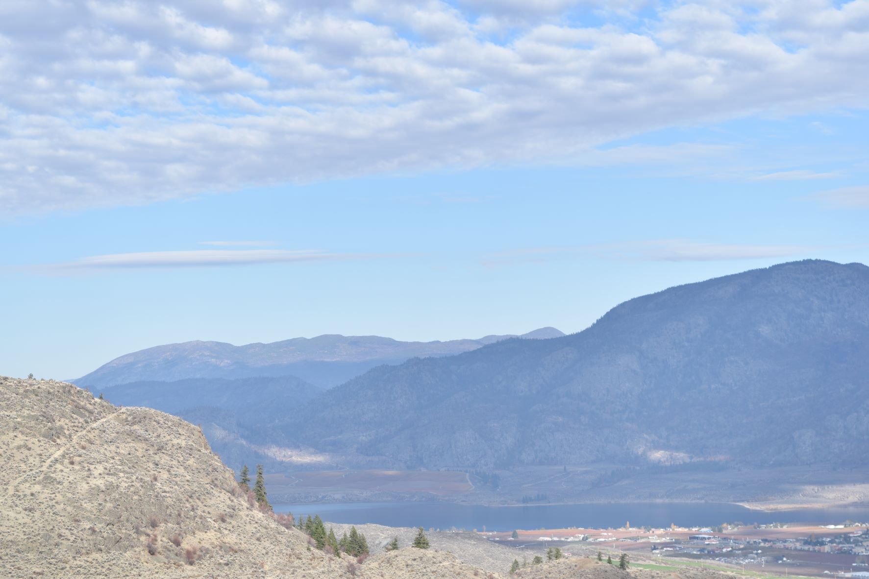
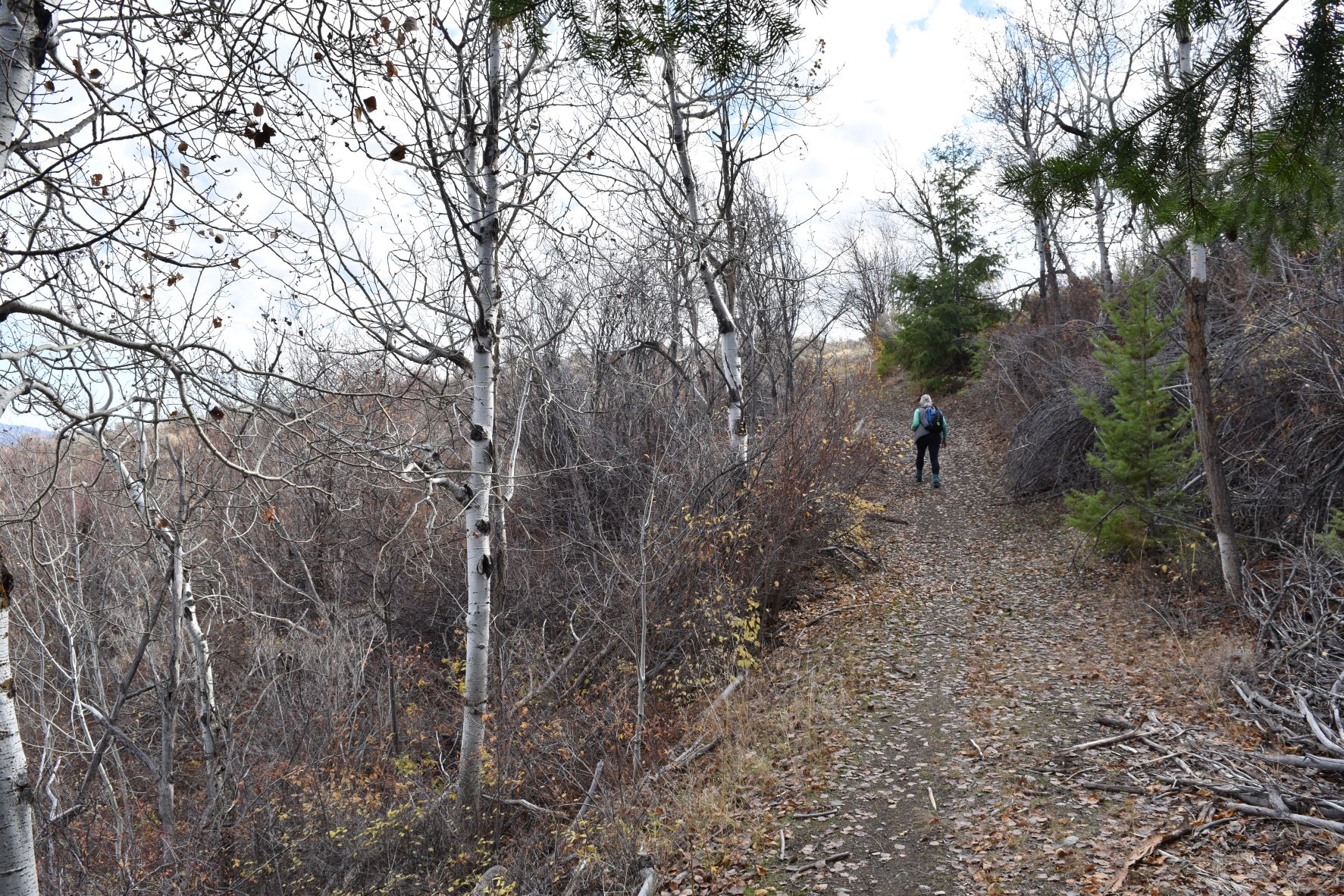
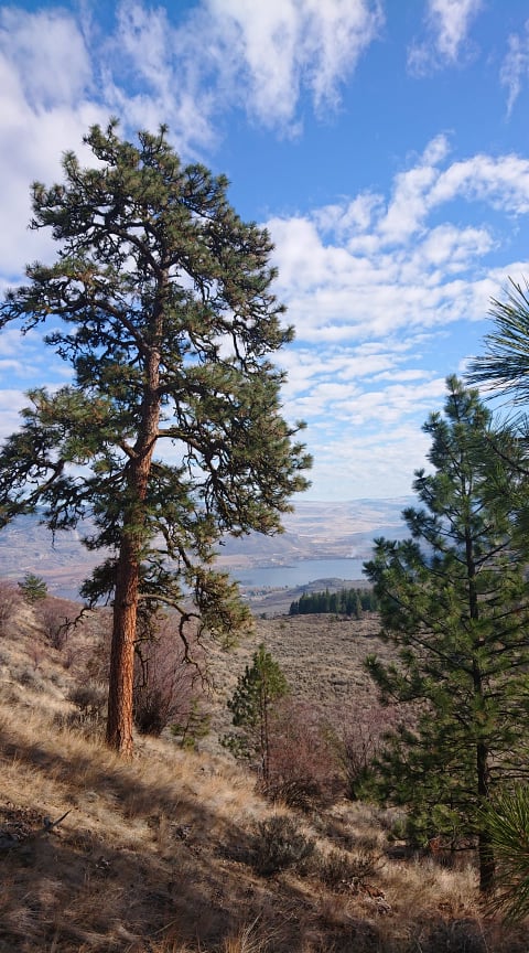
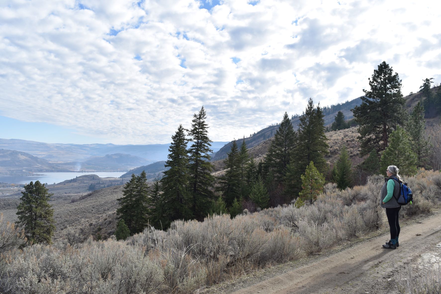
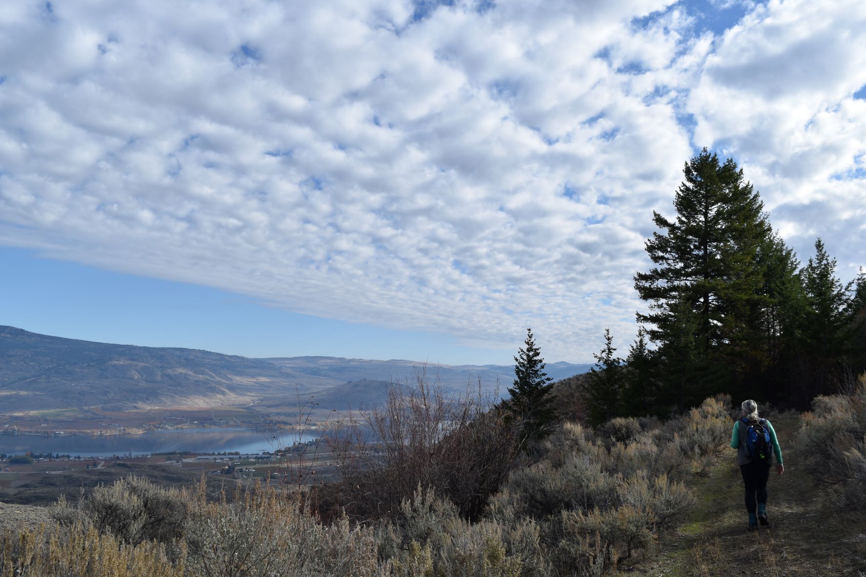
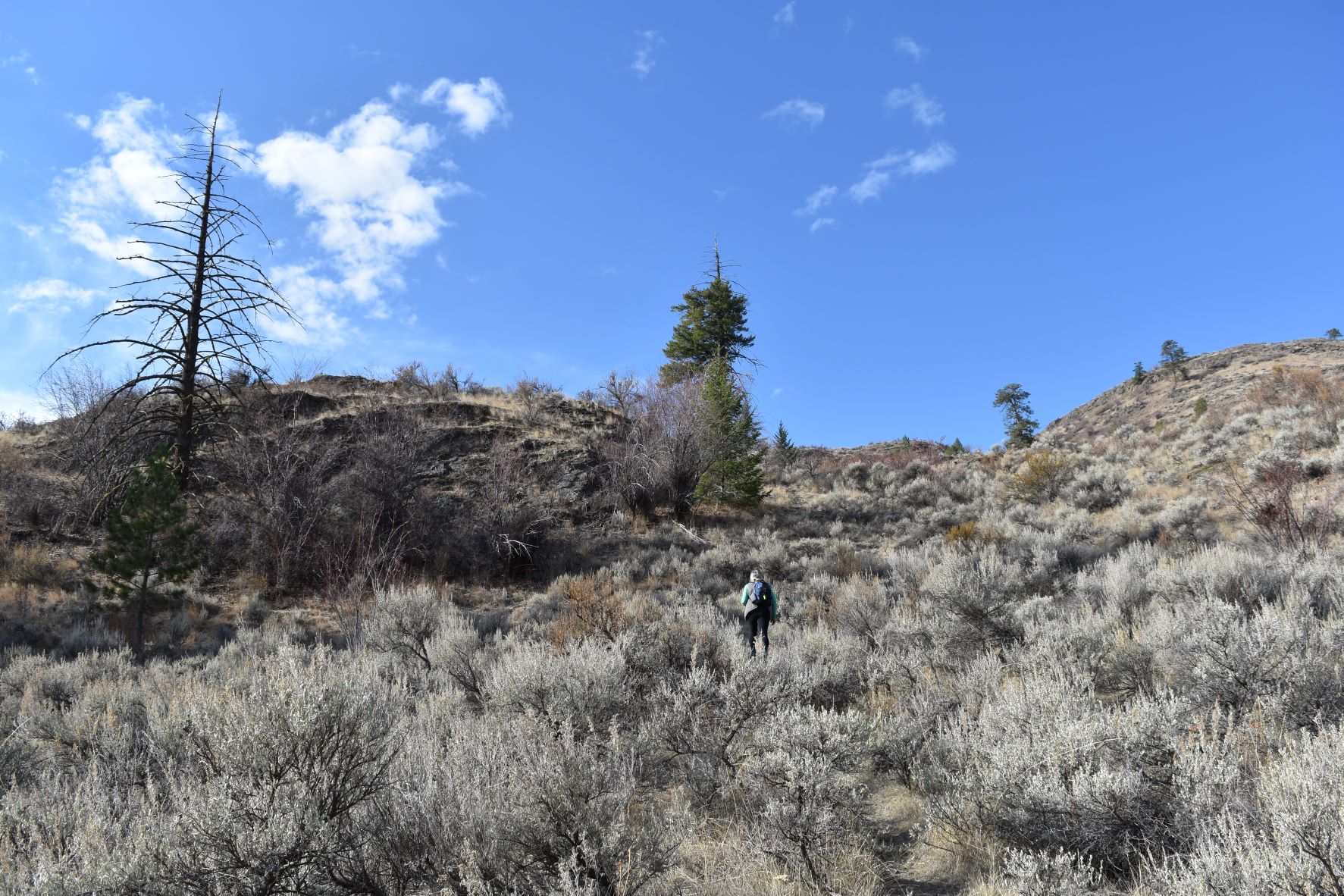
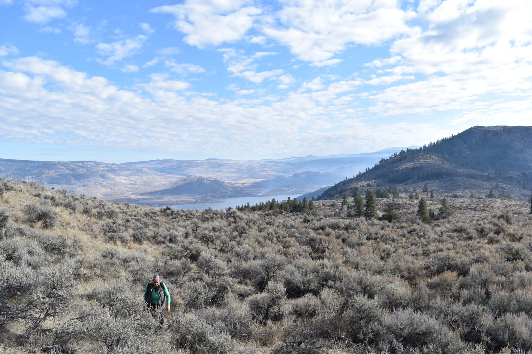
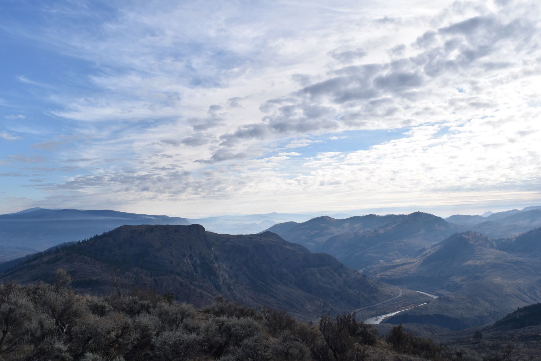
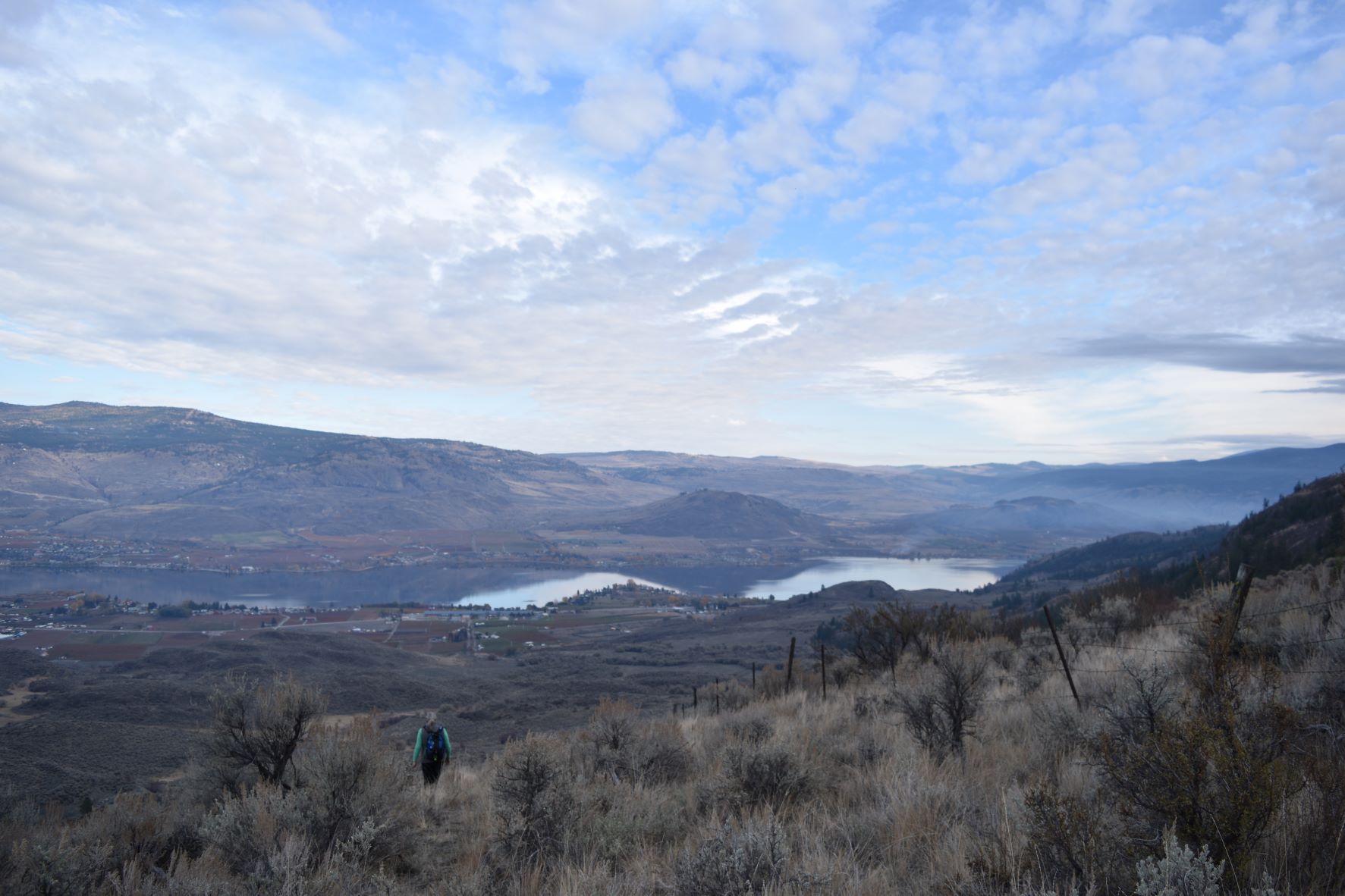
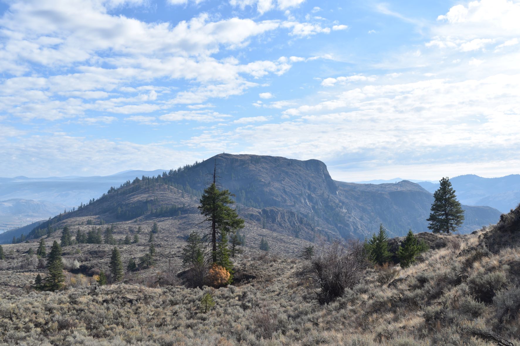
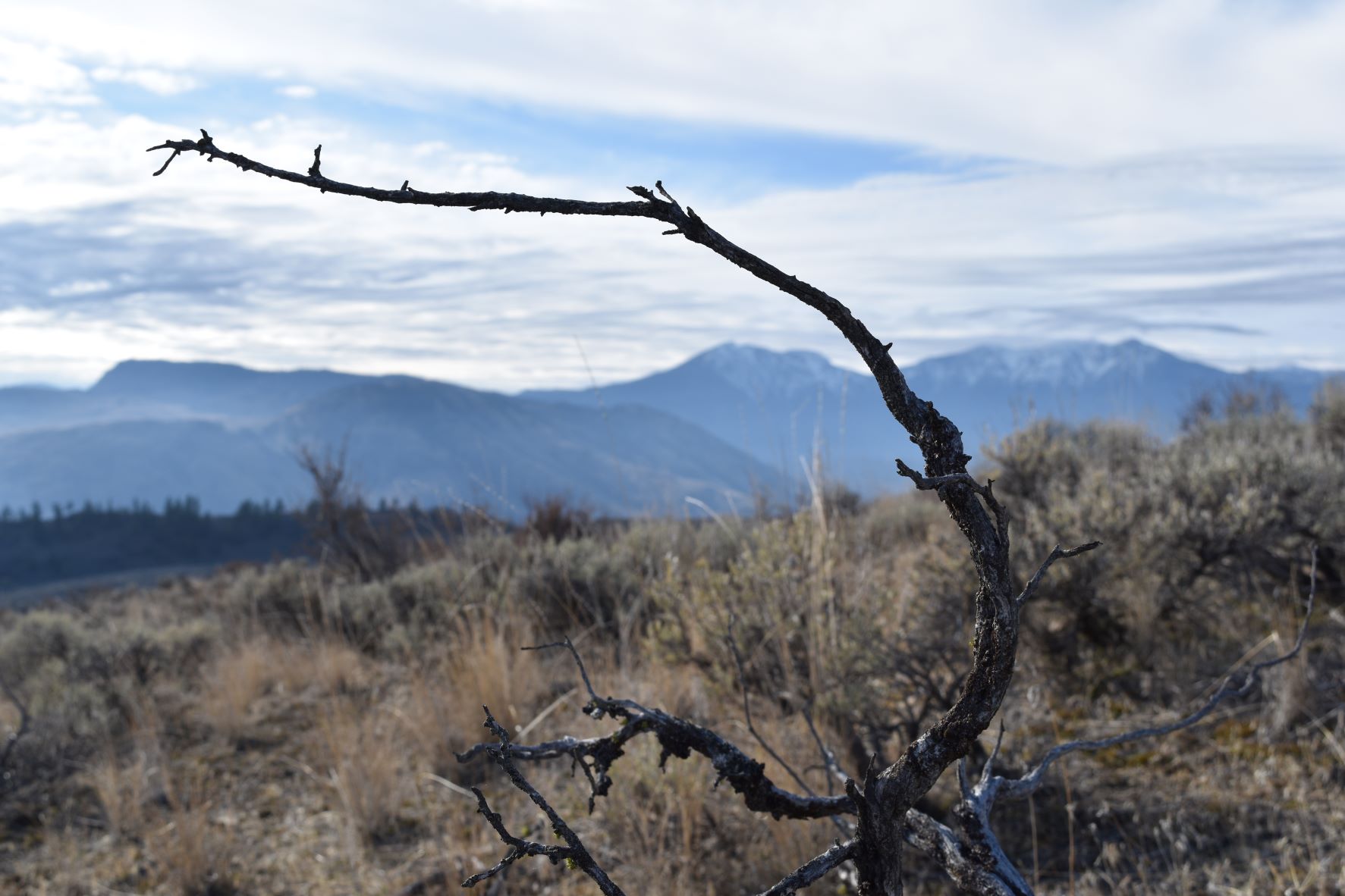
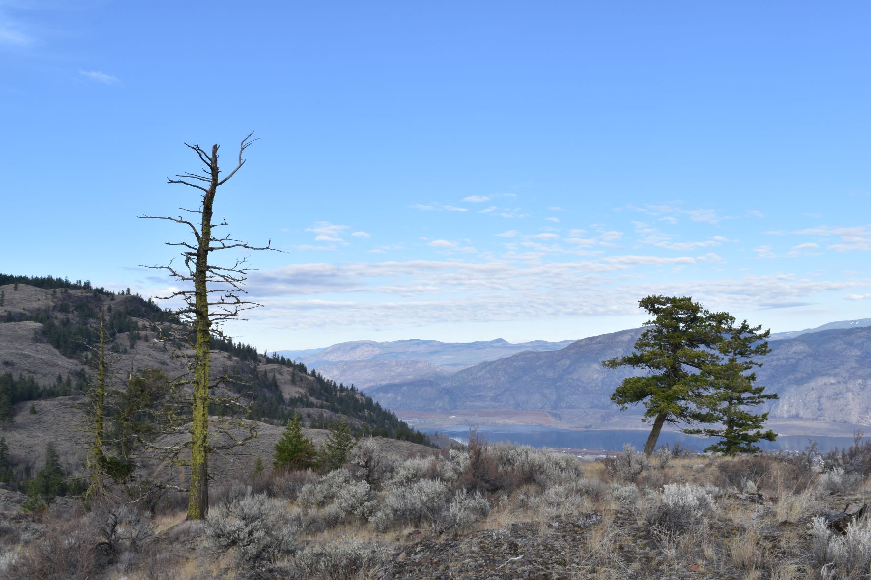
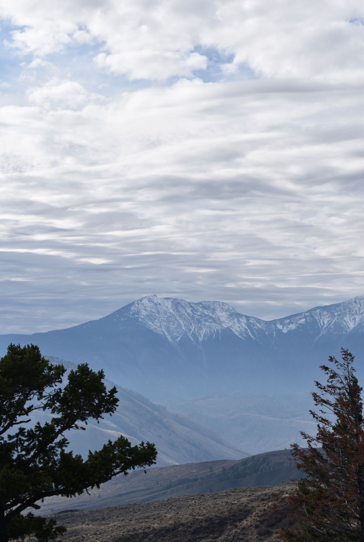
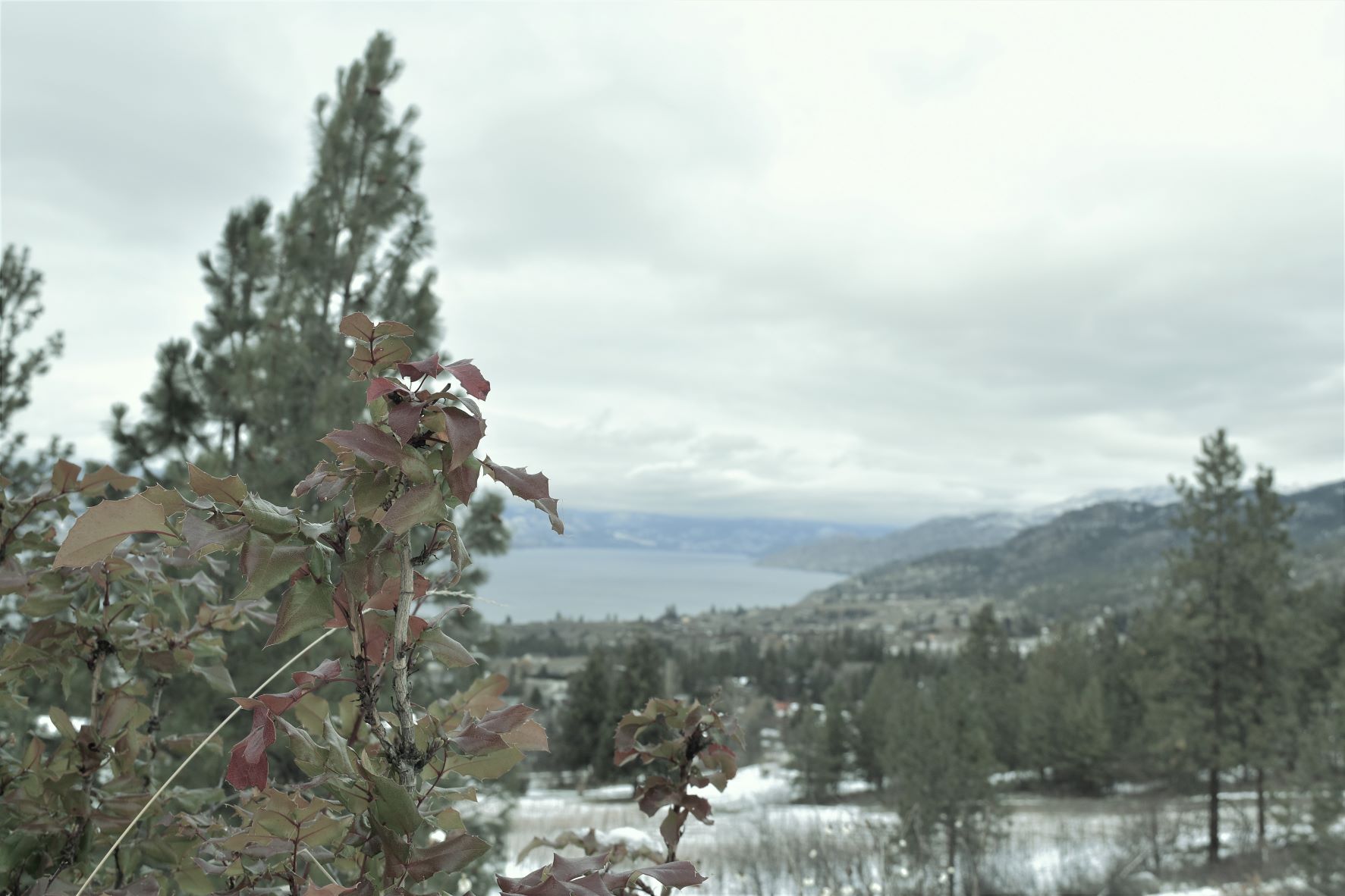
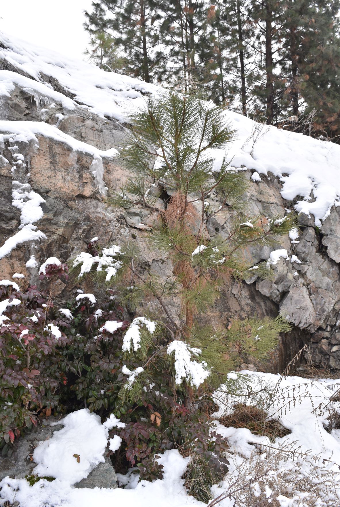
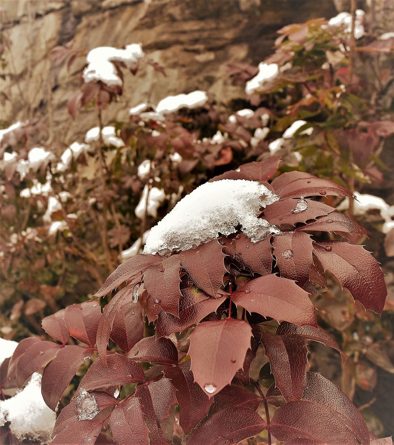
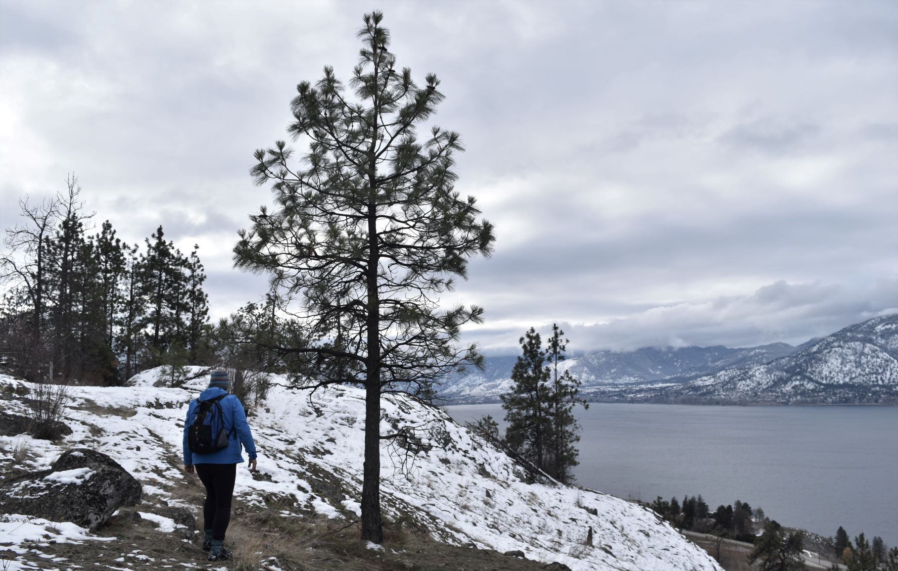
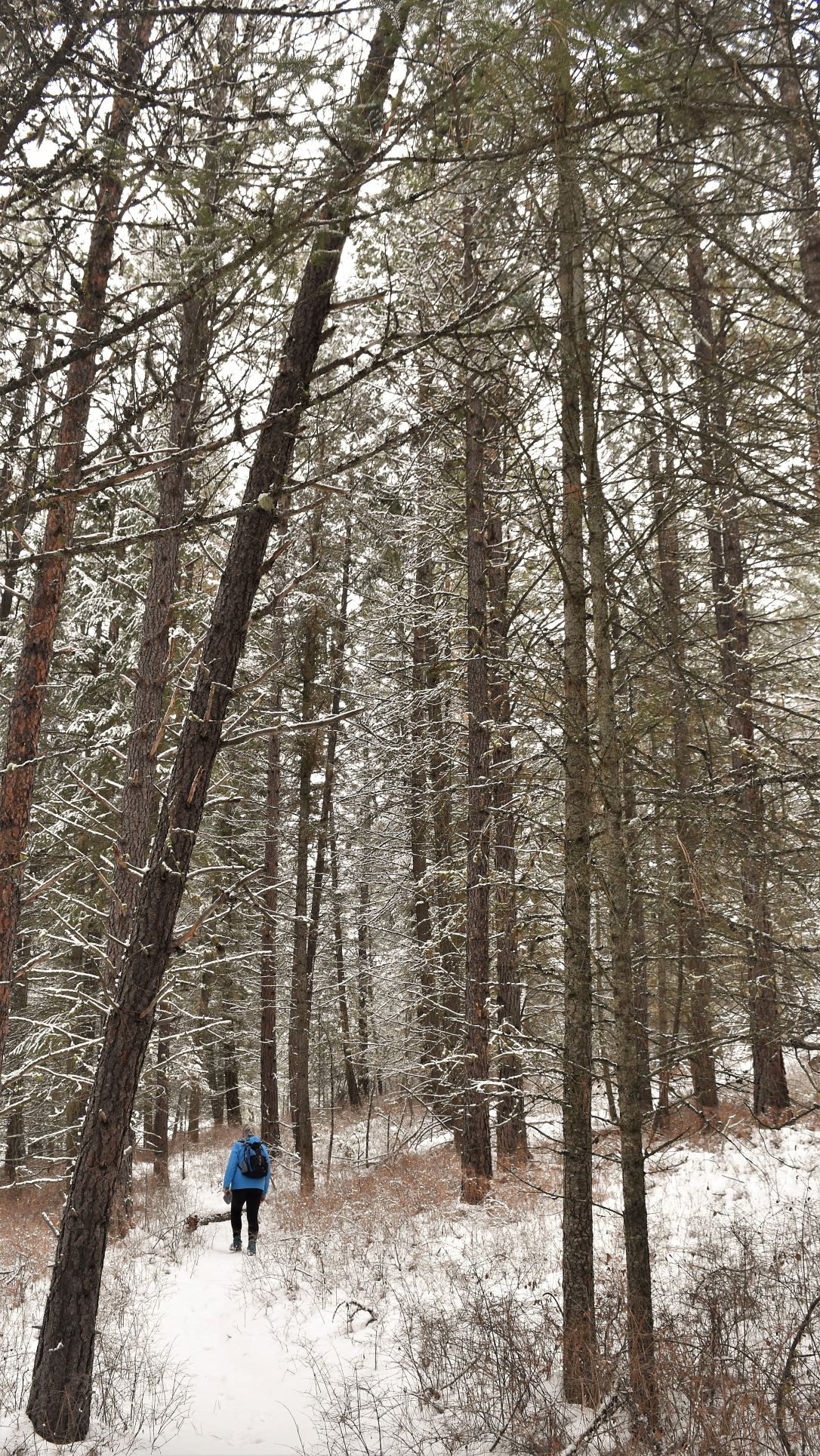
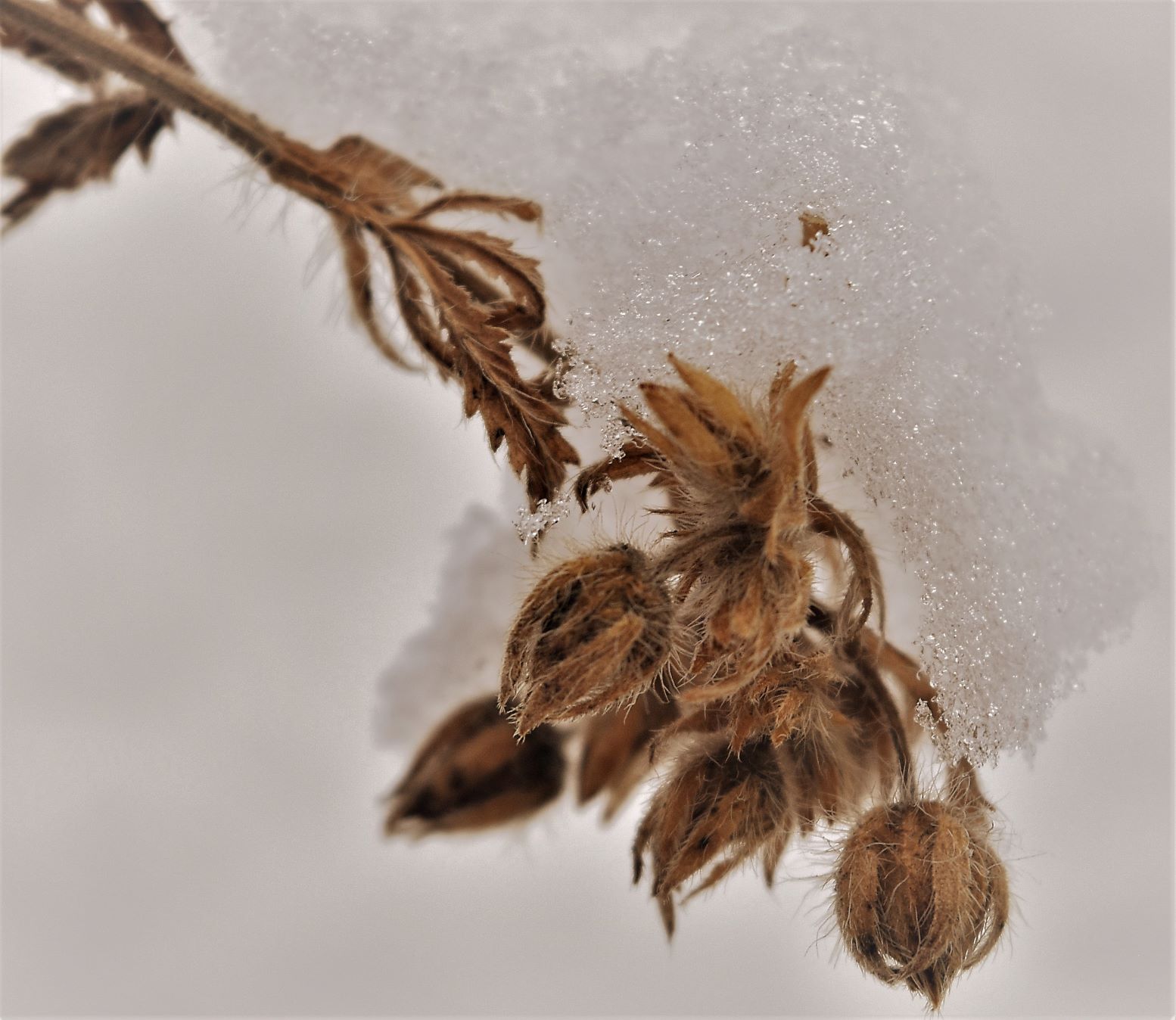
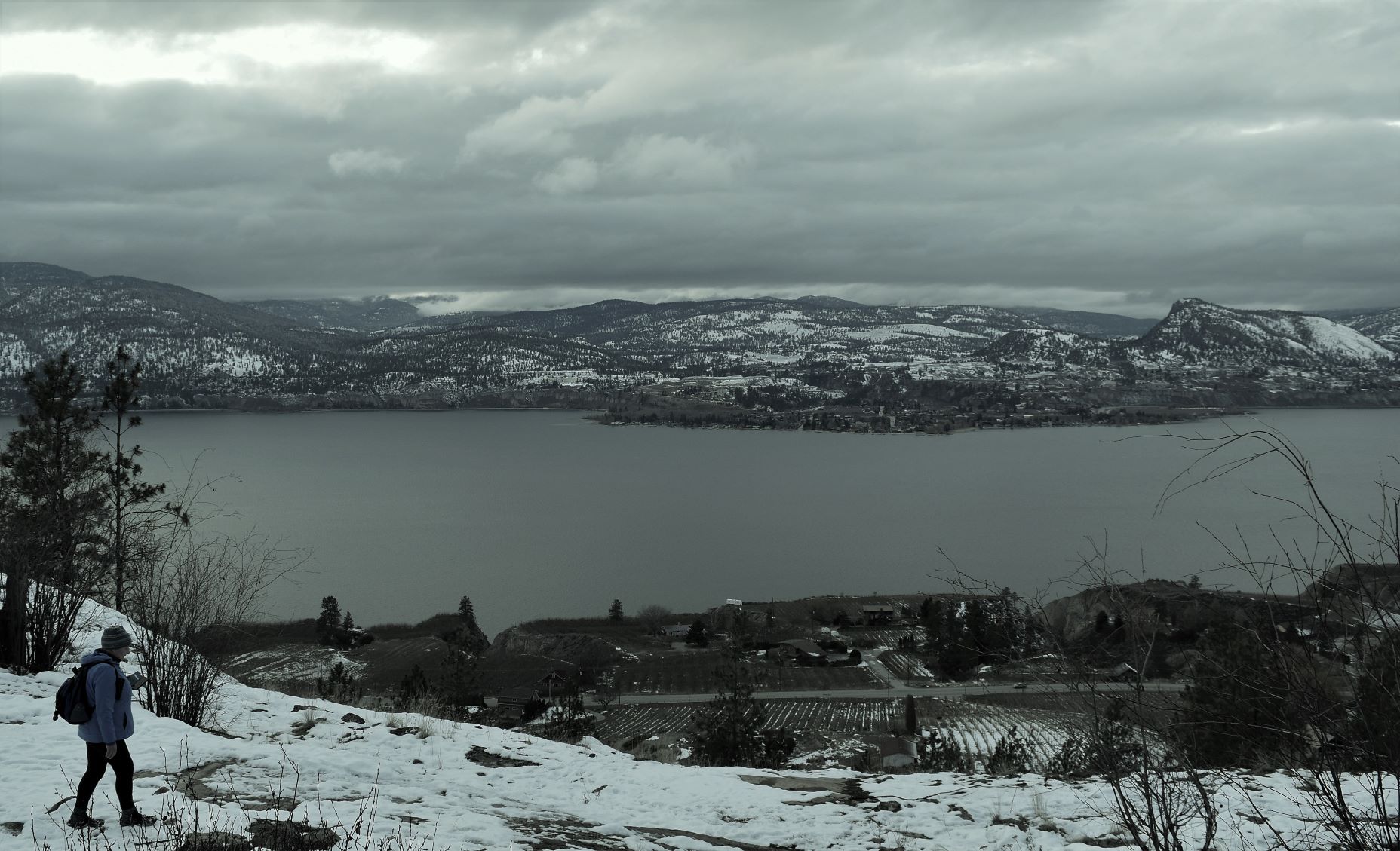
It was not a difficult walk along the side of the valley. When the views of the lake were obscured…we were surrounded by this wonderful Christmas card landscape with snow atmospherically clinging to undisturbed branches and stumps……it was just soooo pretty.

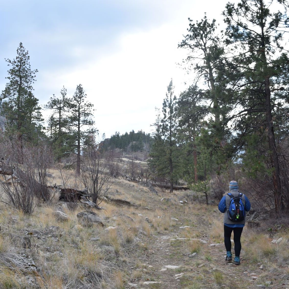
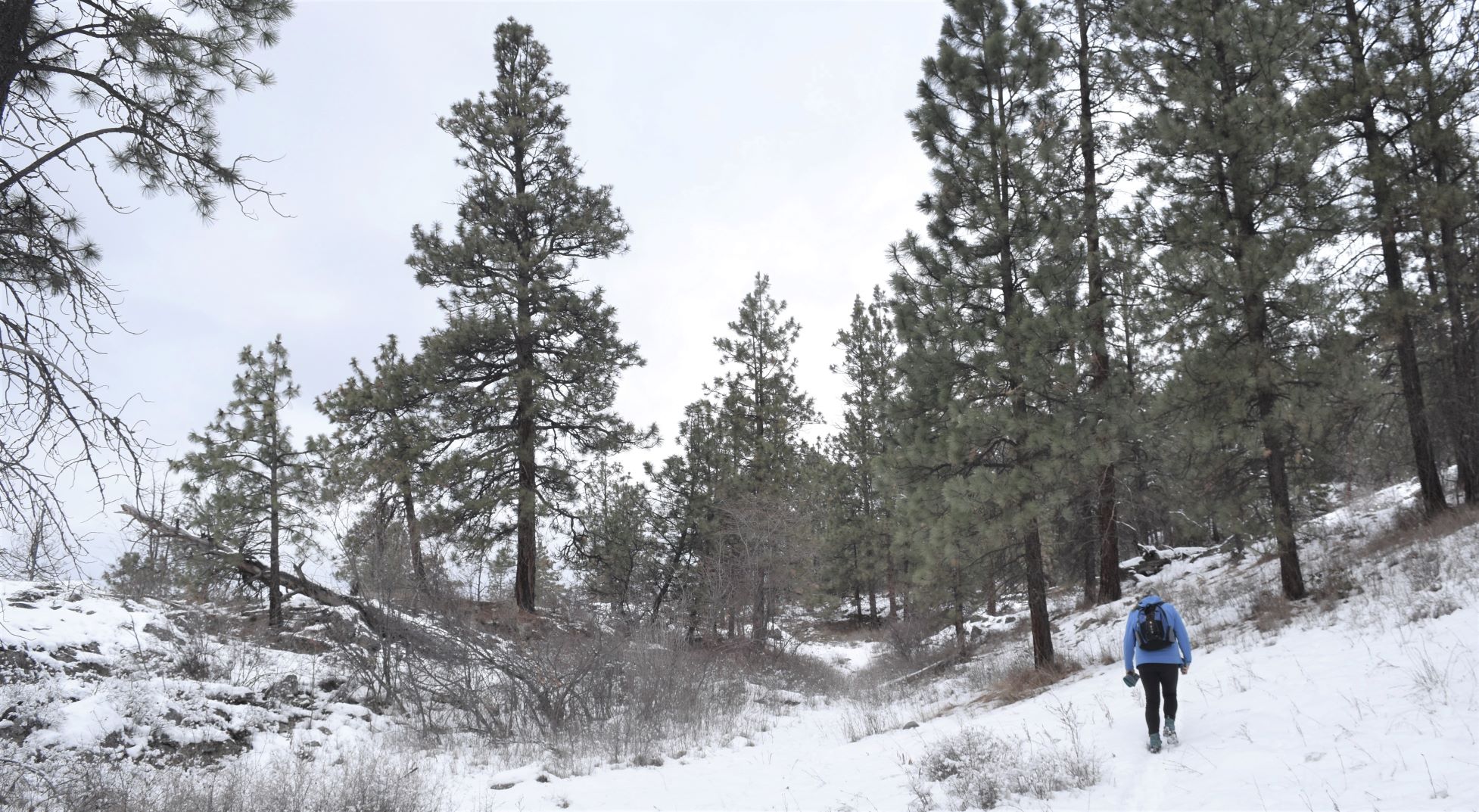
I absolutely loved this hike, we added a couple of extra bits in to the Alltrails map we were following. Both because the day was so lovely, we had some time left in the short day, and who could resist the possibilities promised by a trail named Lynx…!!!

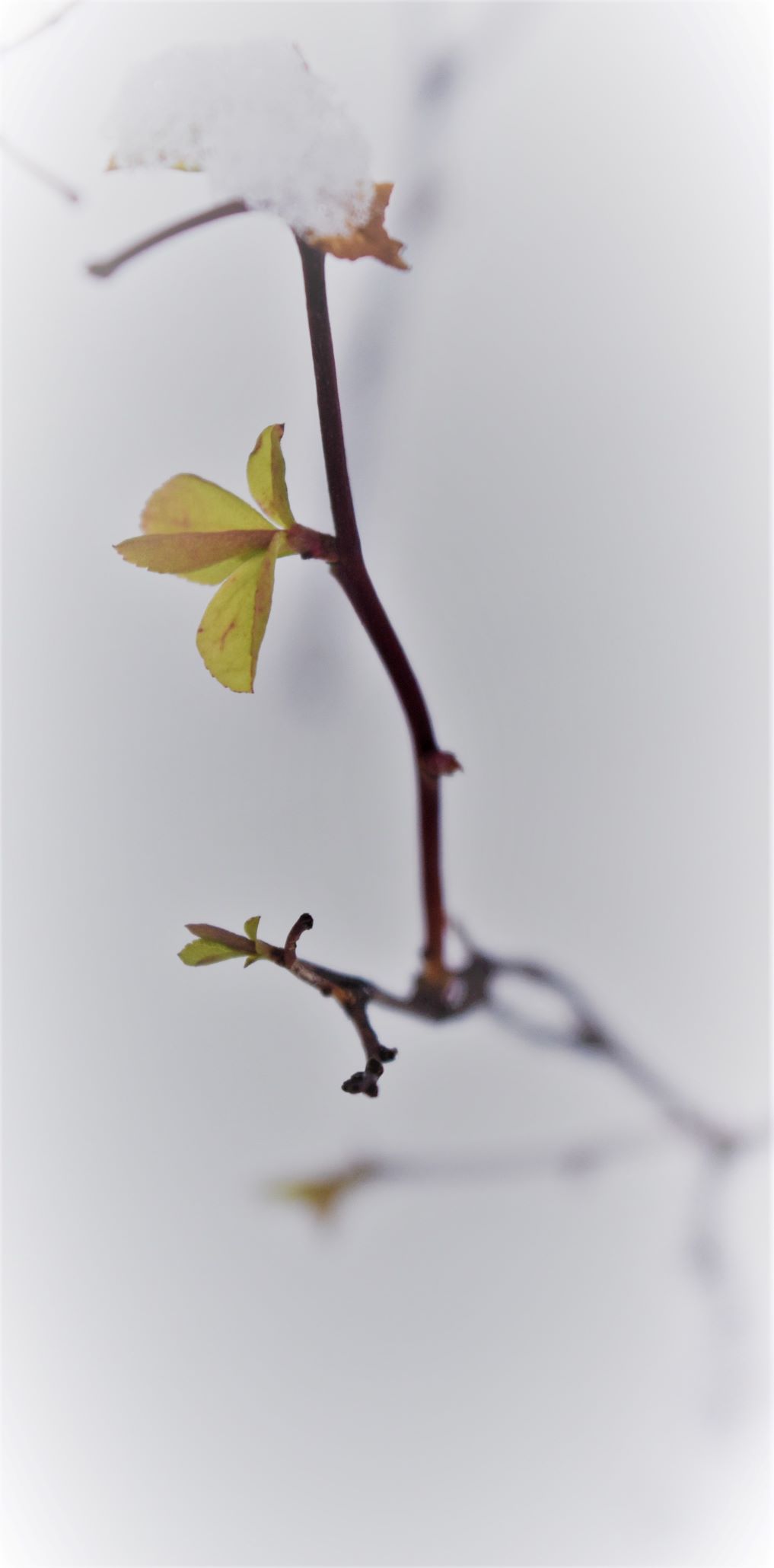
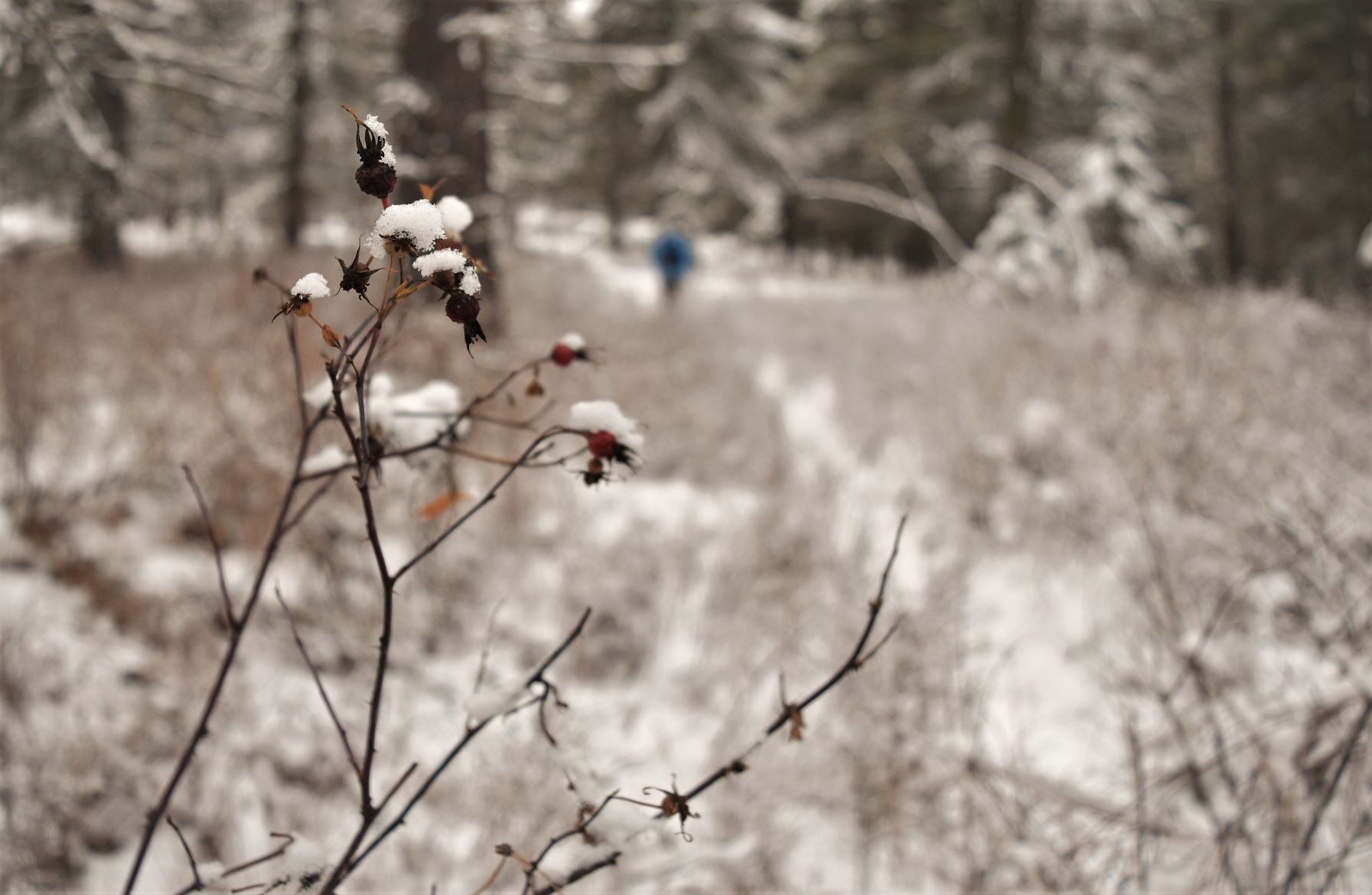
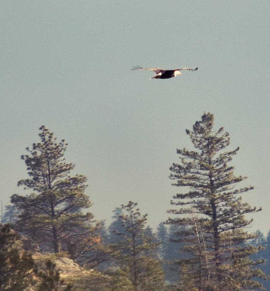
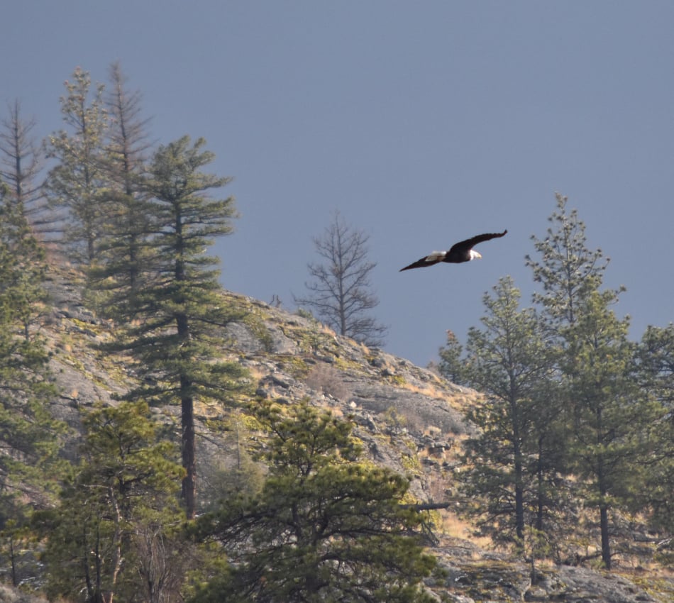
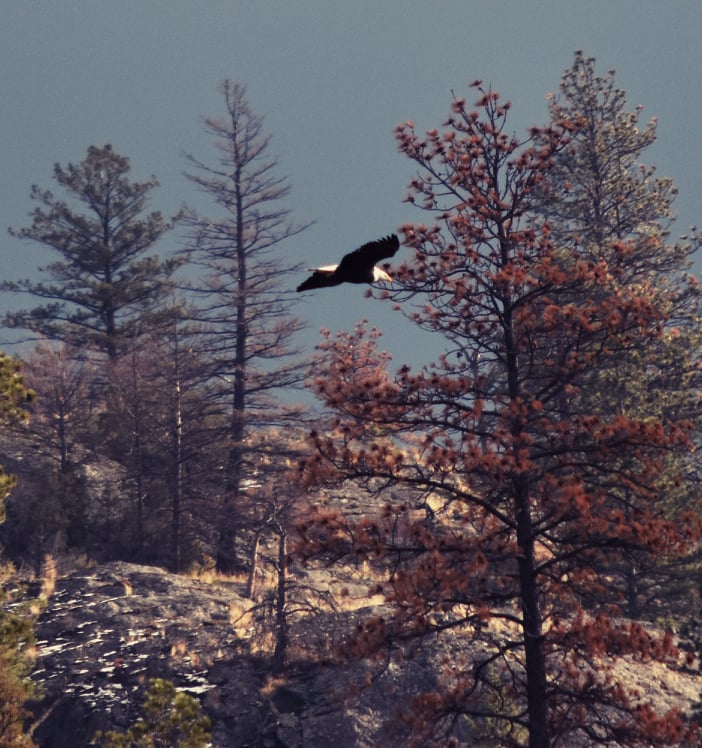
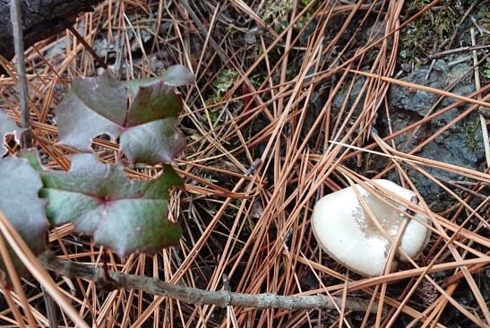
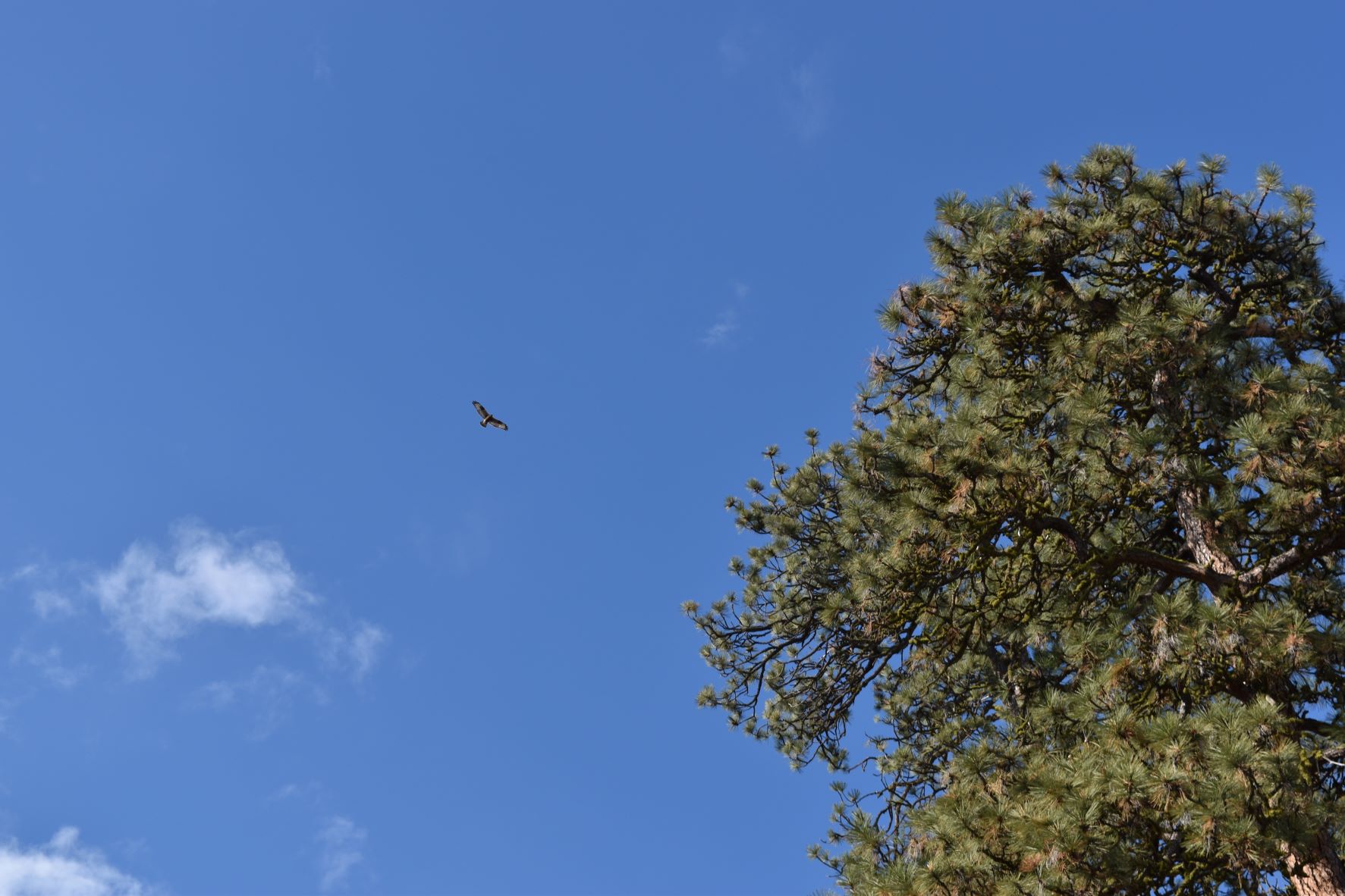
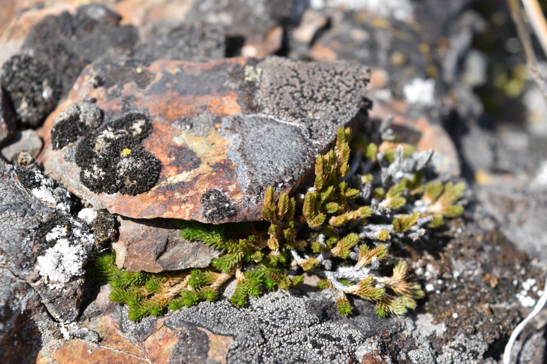
We did not see much actual wildlife out and about. There were many scatterings of tiny footprints of all kinds of critters……and most notable by absence……no bear prints 😅😂

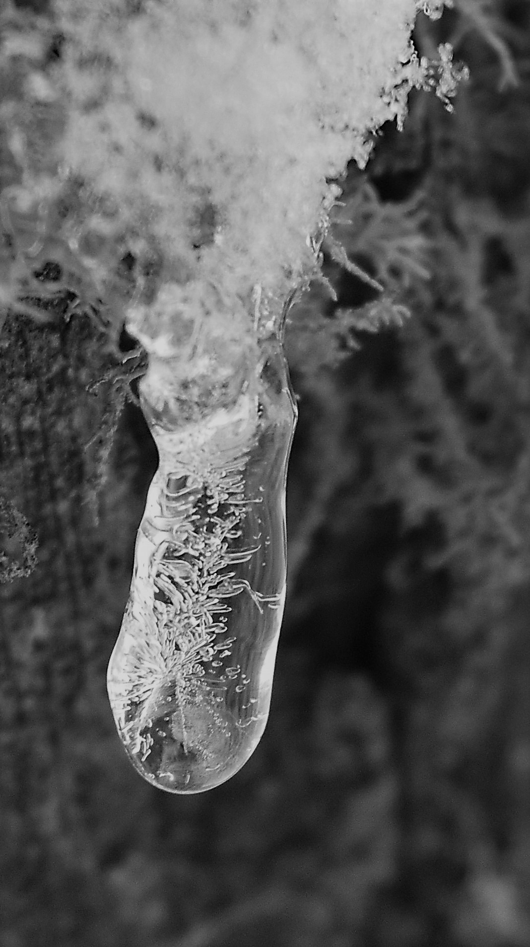
It really was like waltzing through a series of Christmas cards, or chocolate boxes…without the chocolate…!!!!

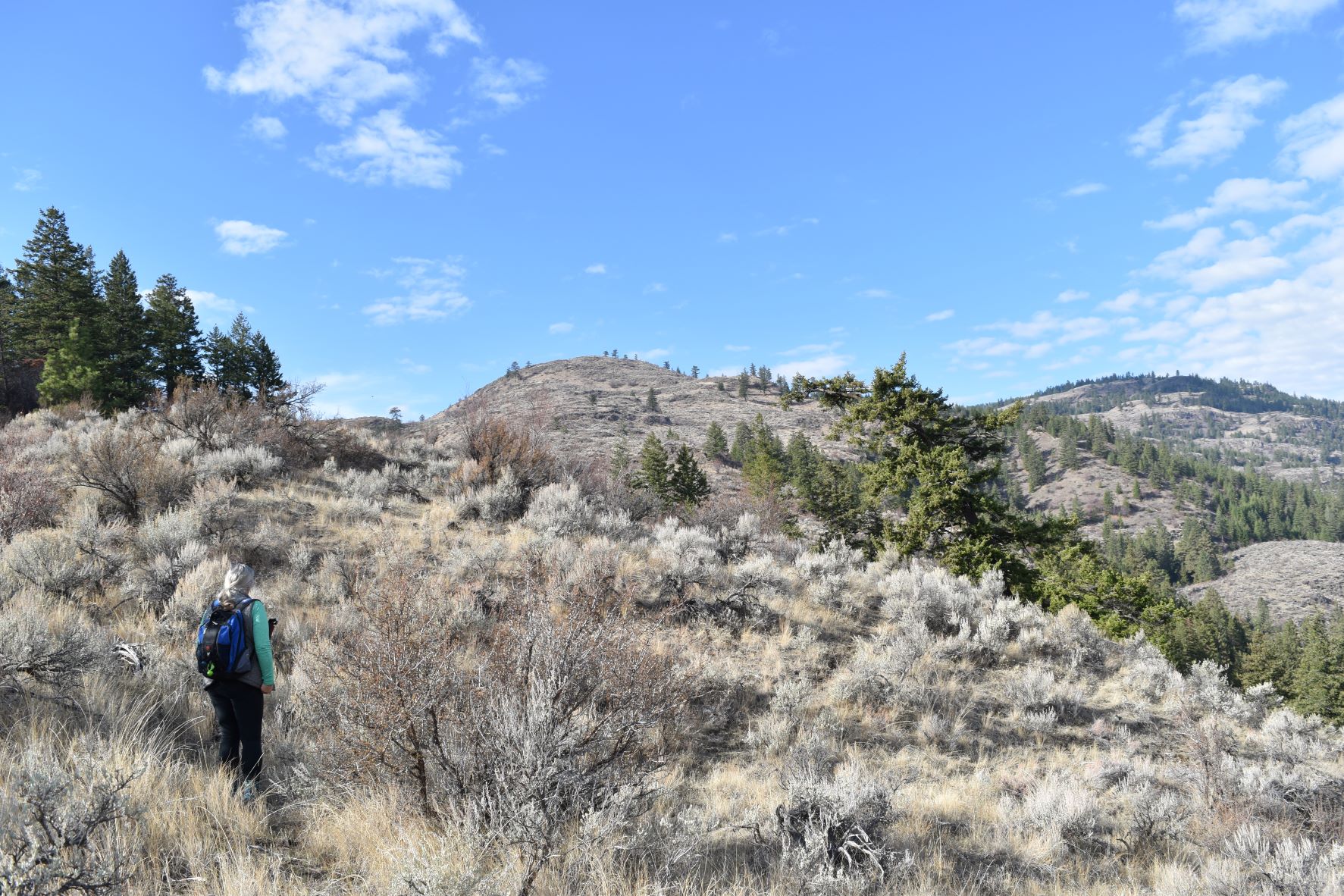
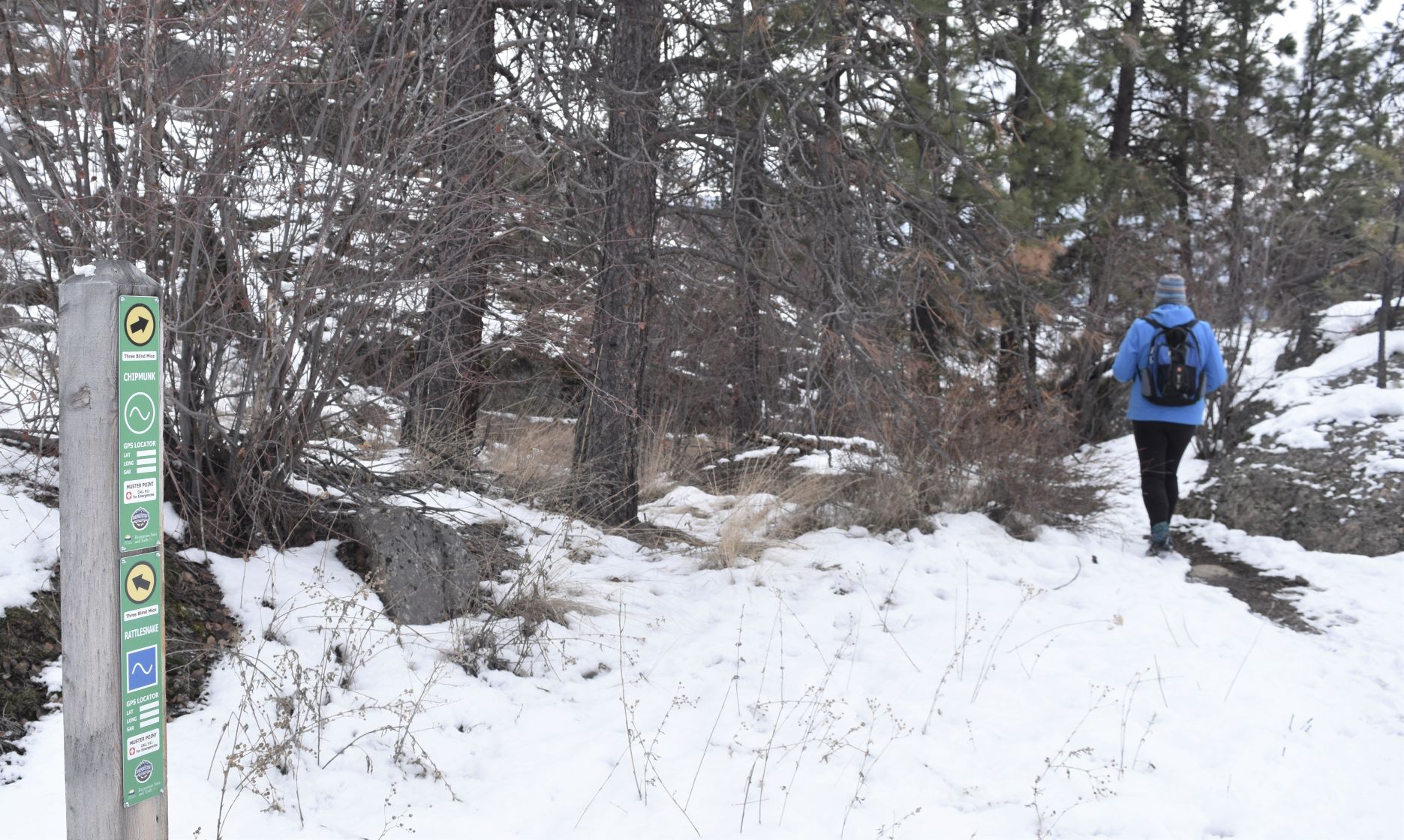
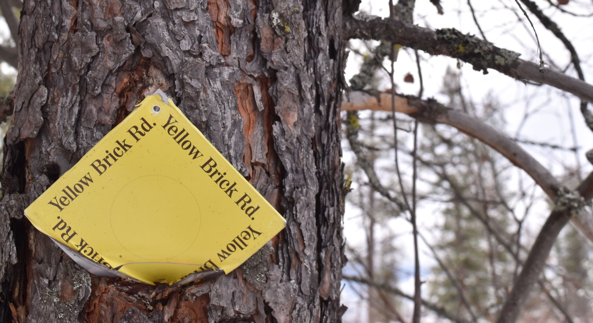
….and on the descent….we left the official path again having been too tempted by following the yellow brick road……!!!

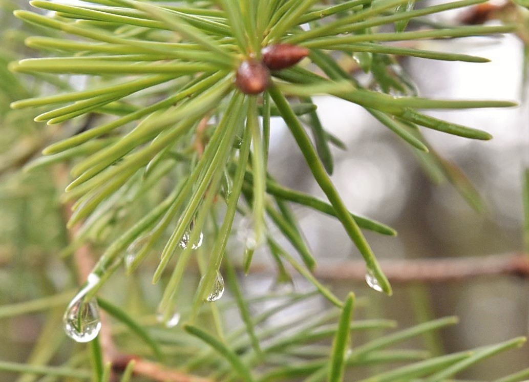
What a lovely day, filled with sights and smells (….the forest pine smell has a whole level of loveliness to add to the picture….!!) and sounds…crunch crunch crunch…

So…here is wishing everyone a happy, restful peaceful holiday season….and a Happy & Prosperous New Year to one and all when it arrives….!!!!
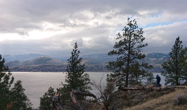
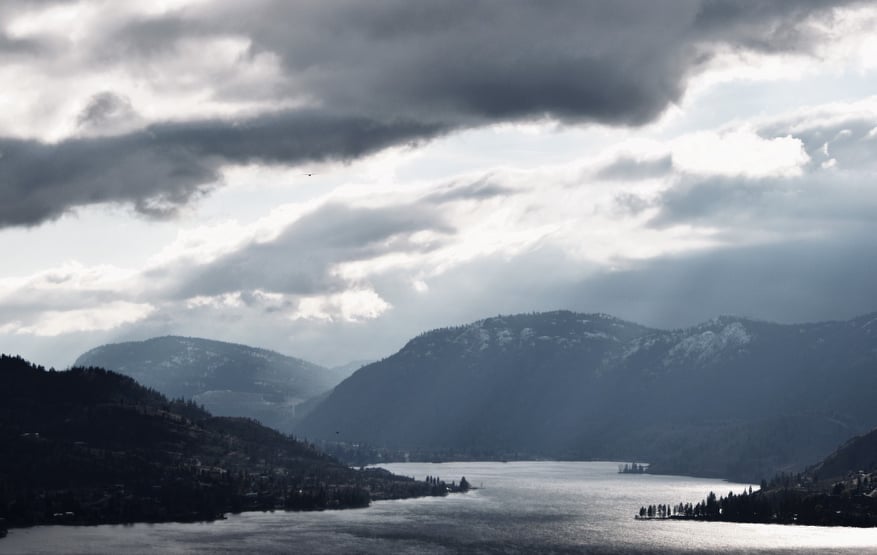
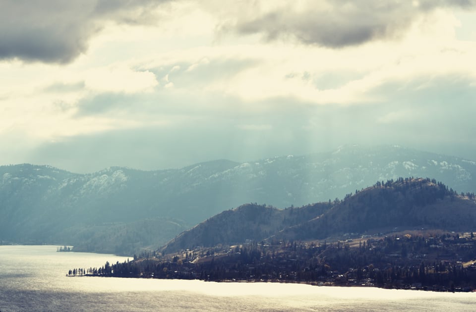
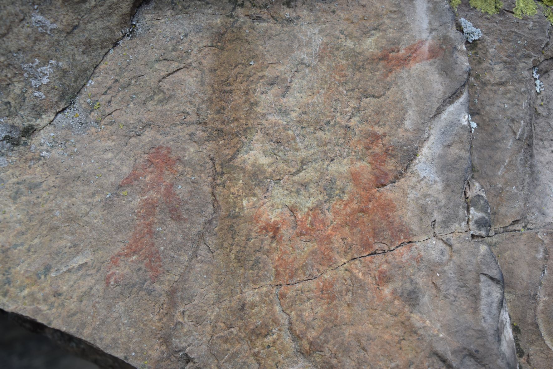
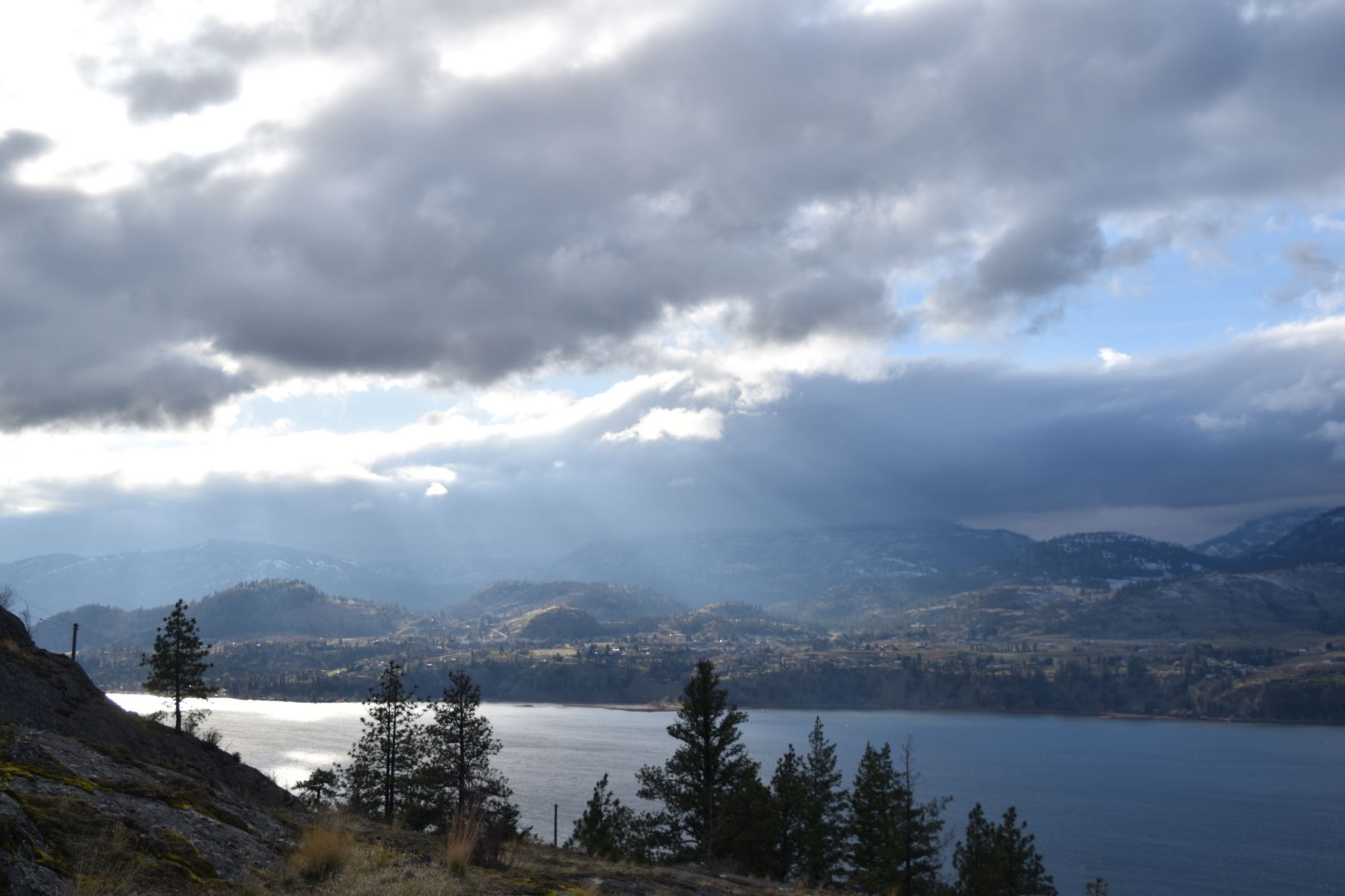
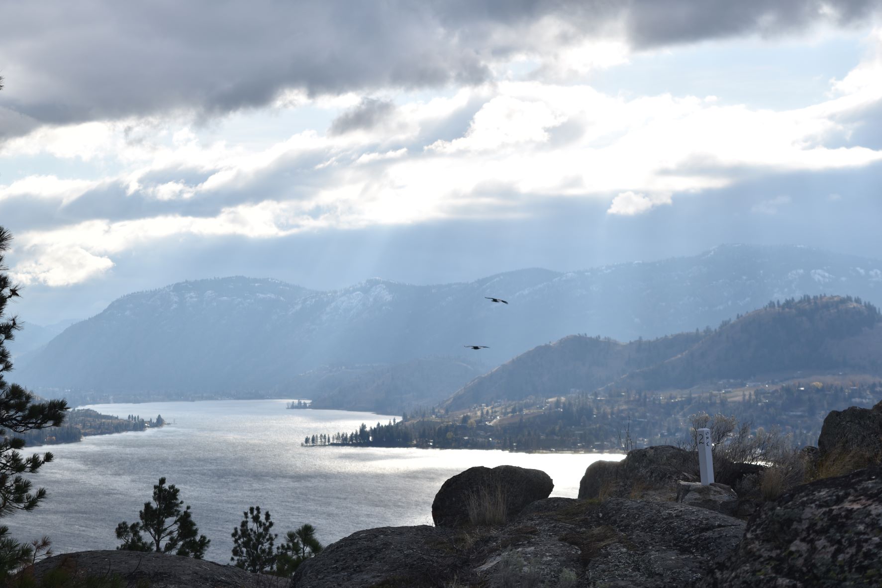
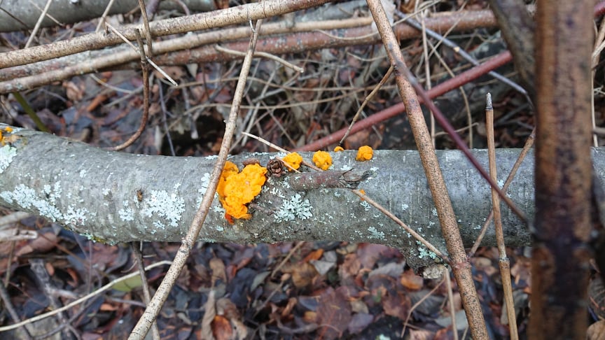
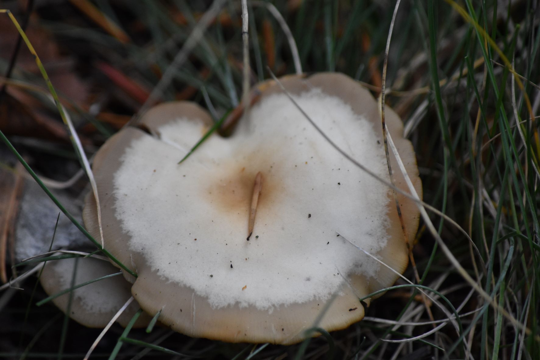
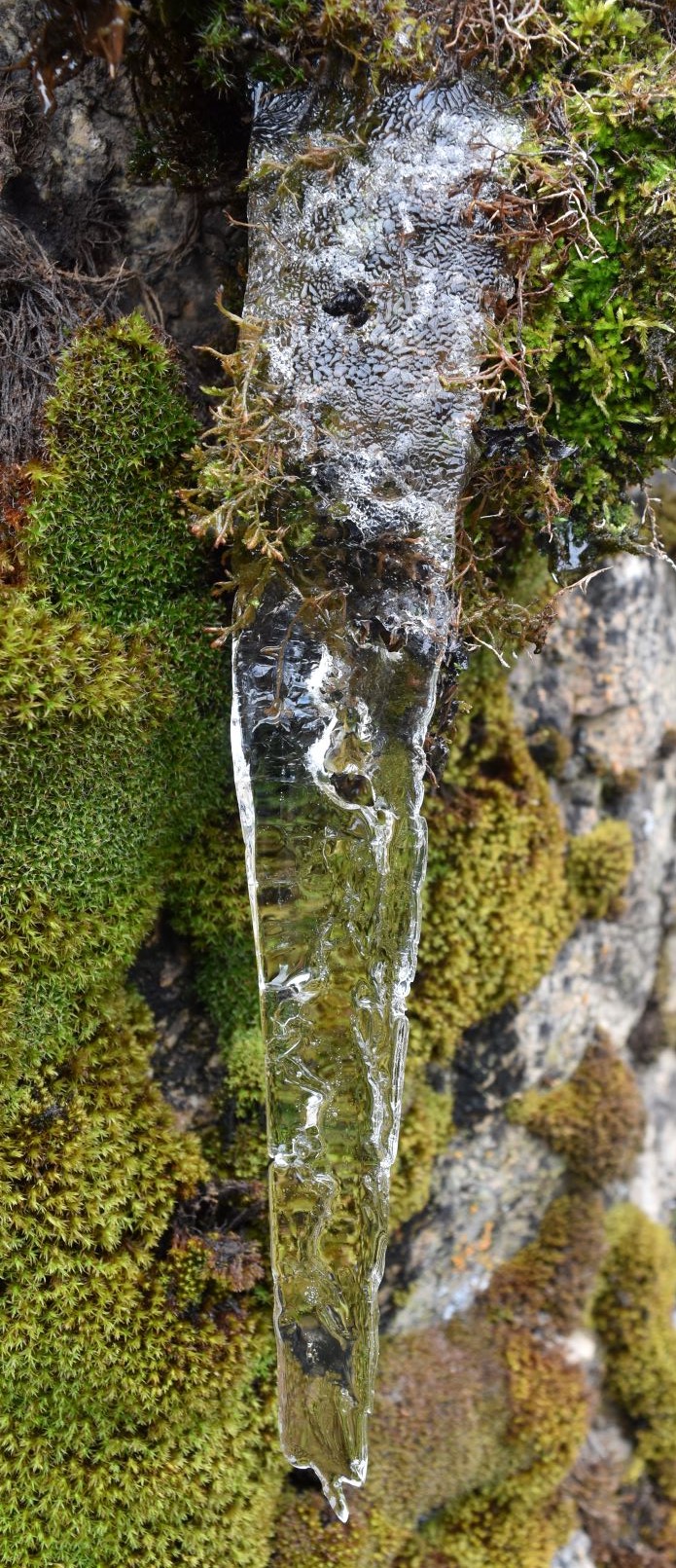
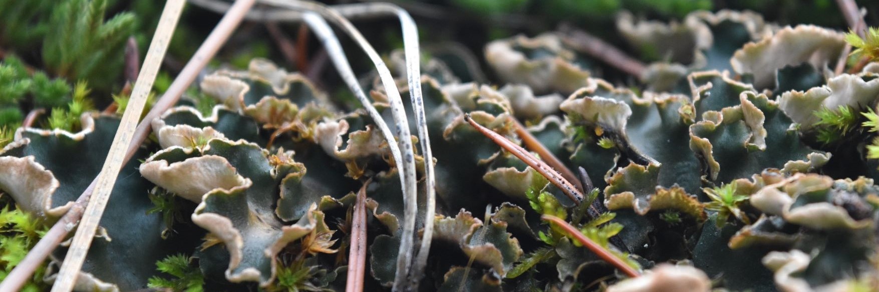
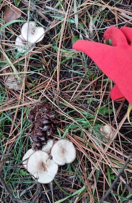
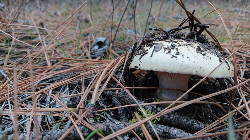
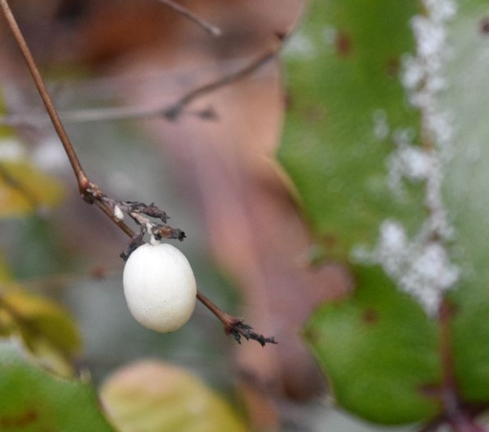
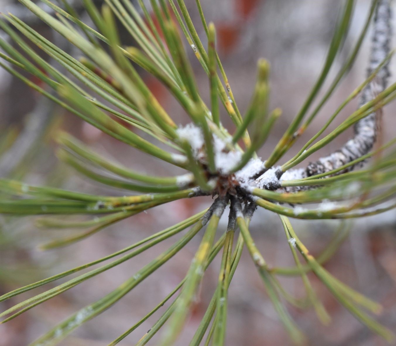
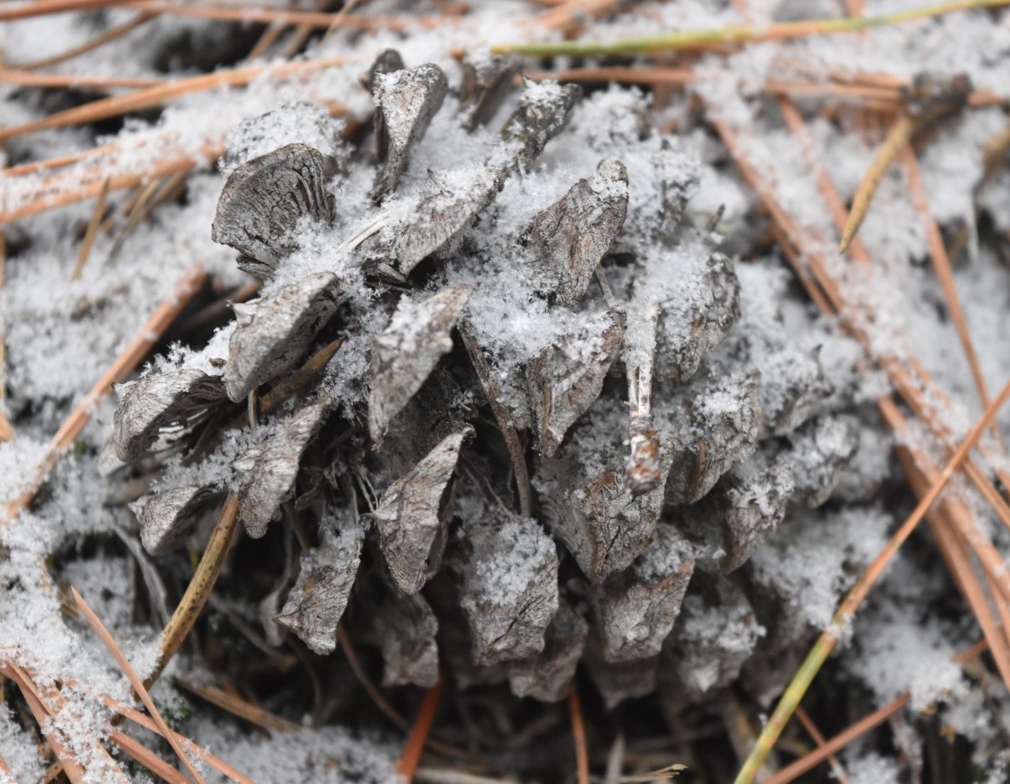
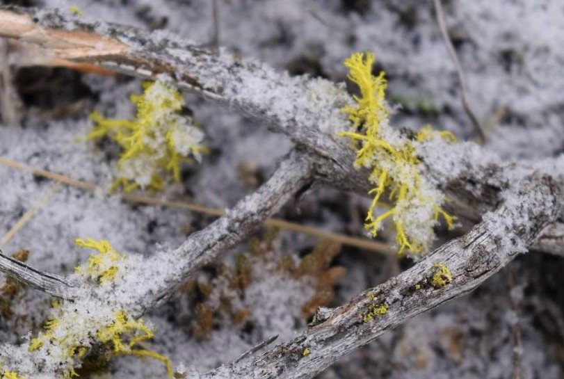
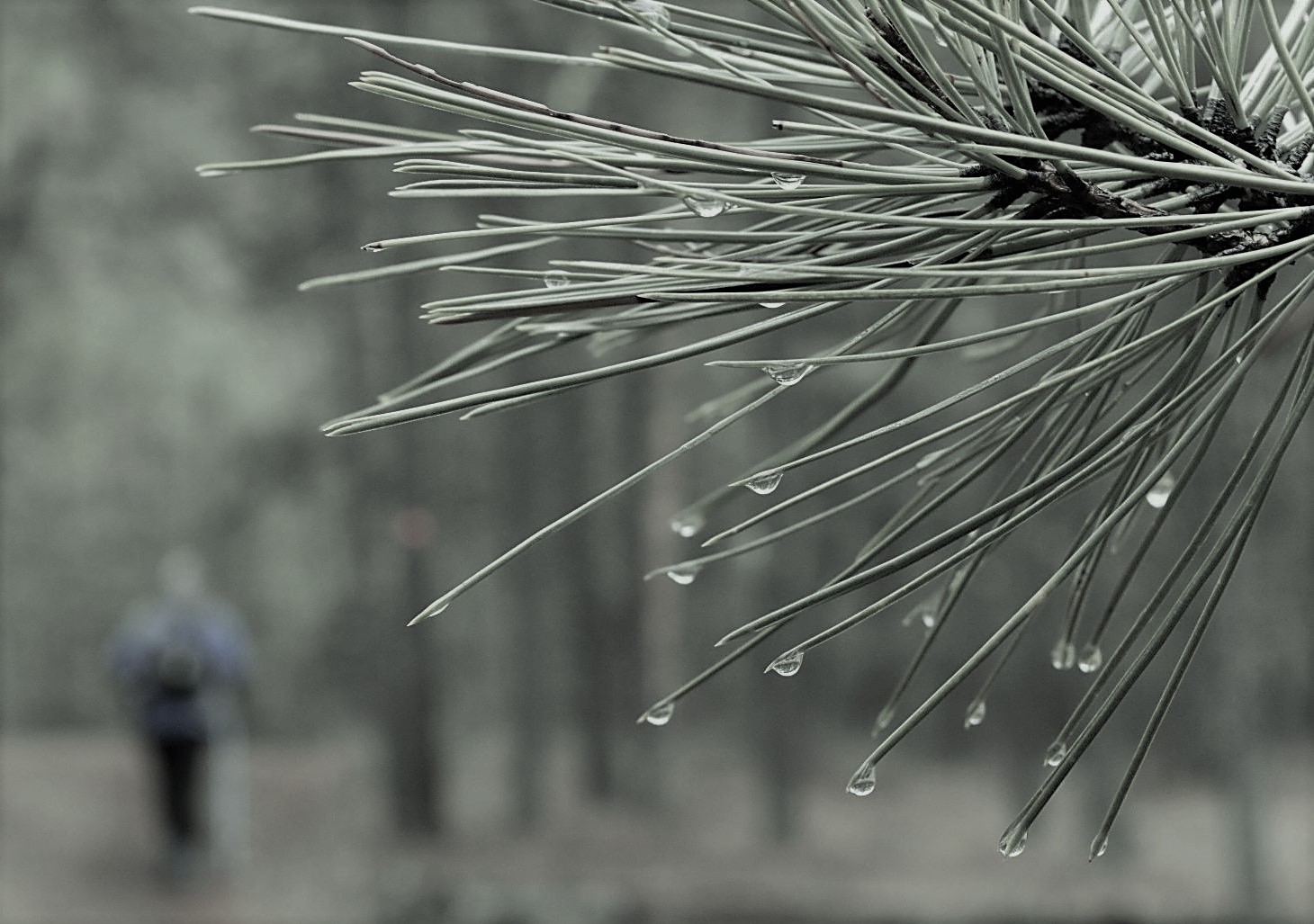
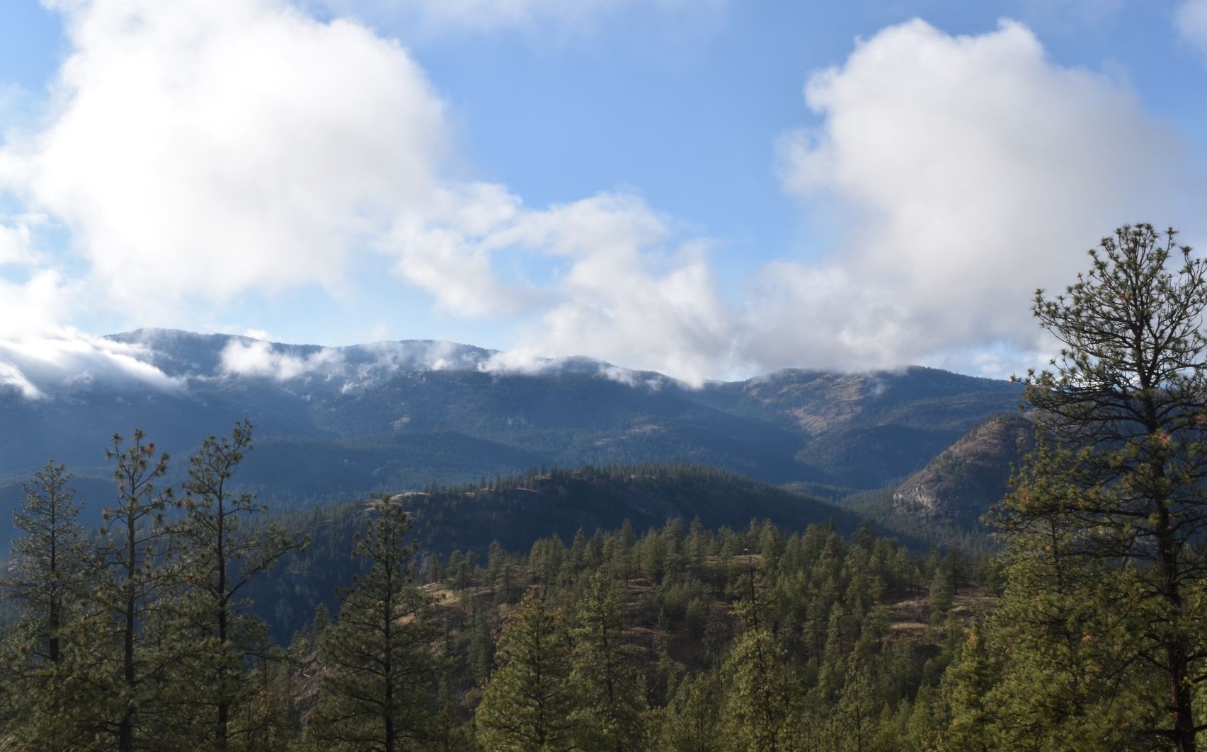
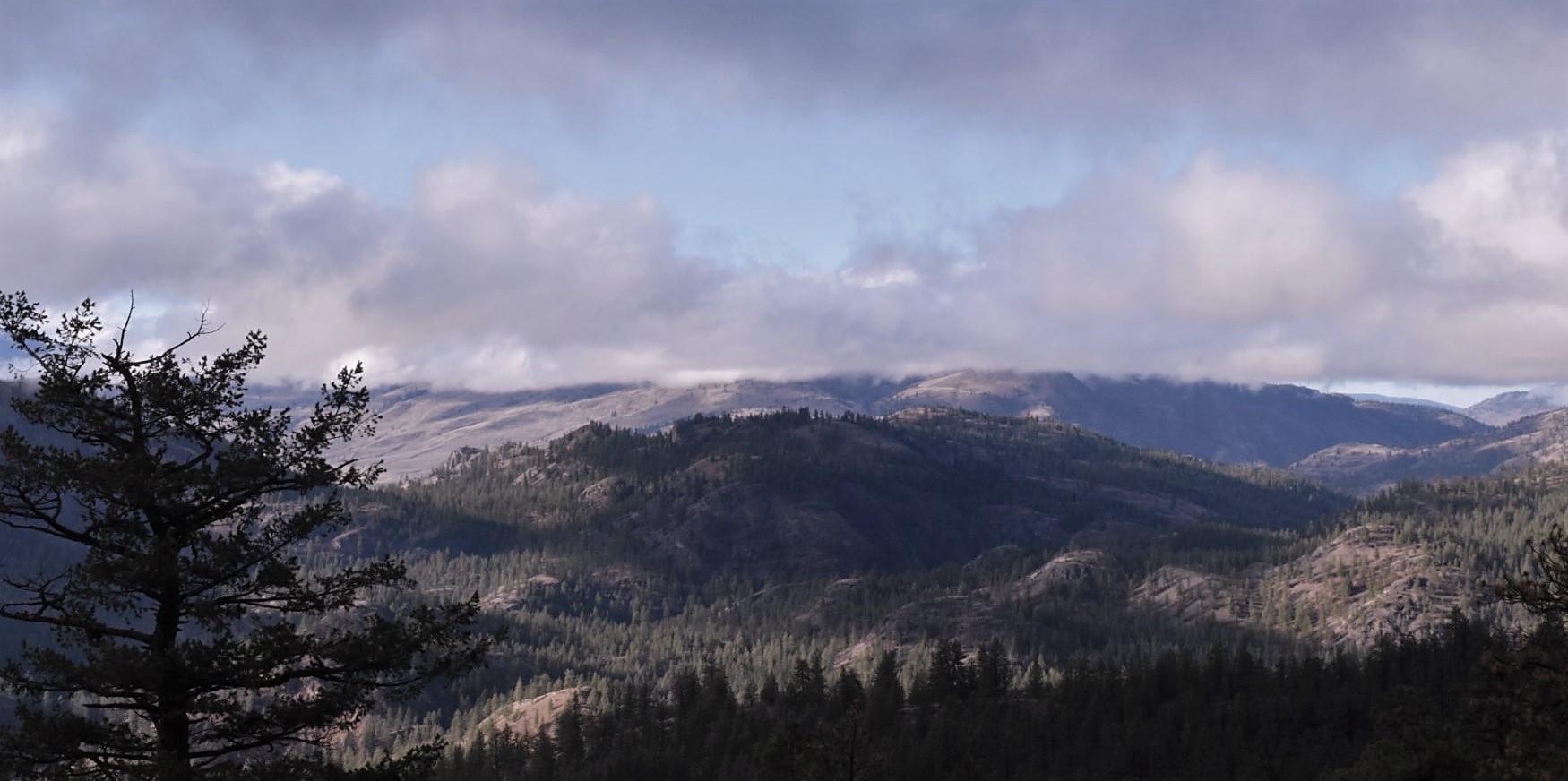
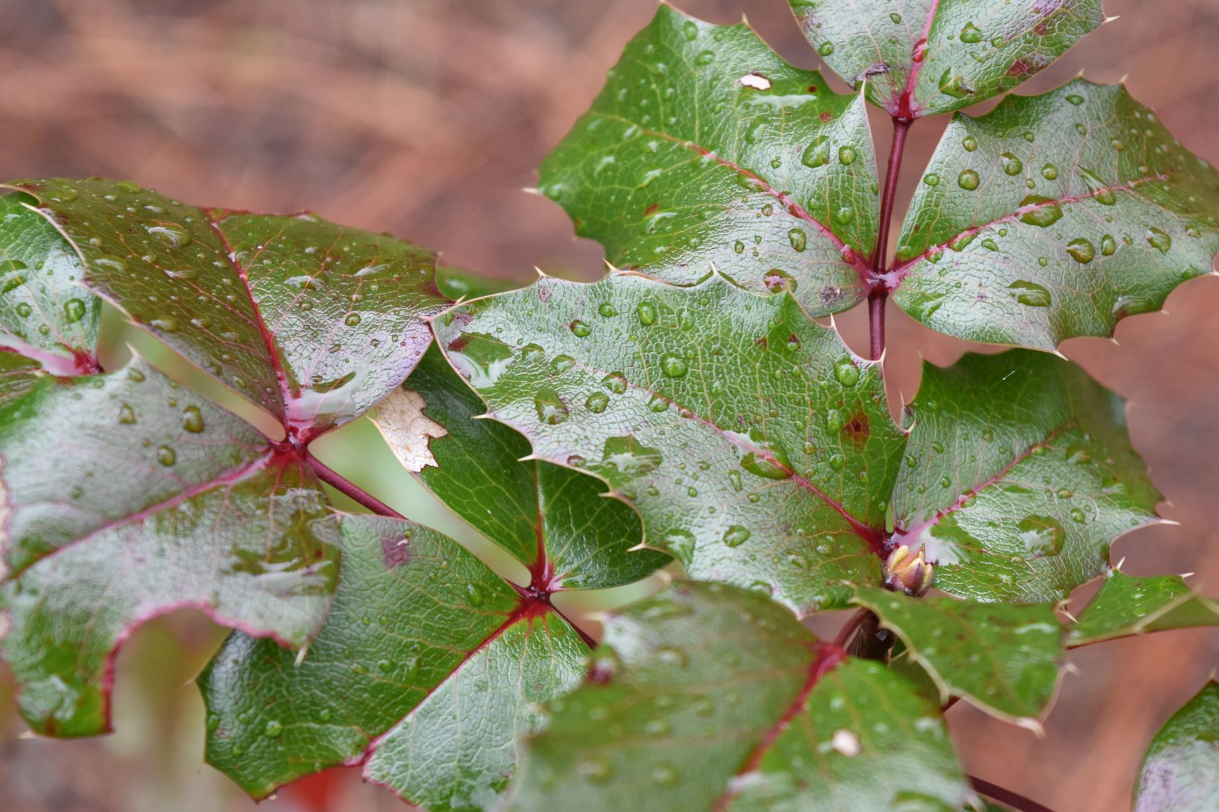
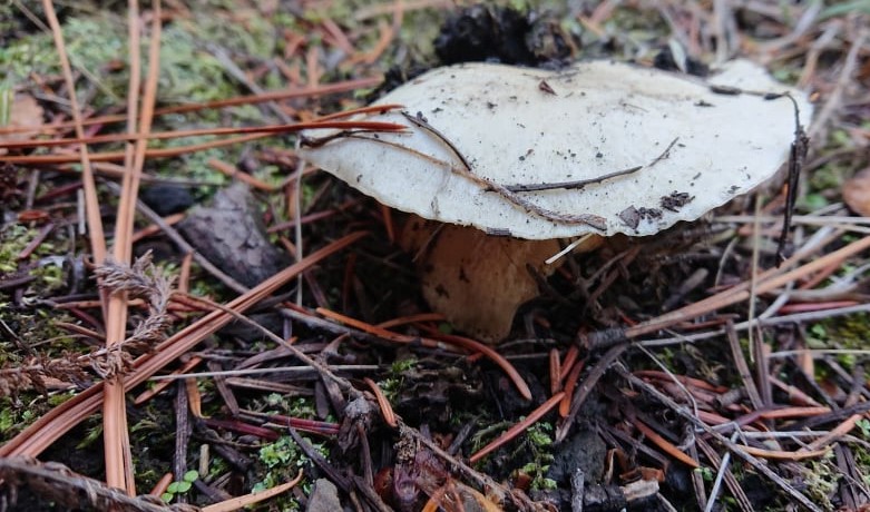
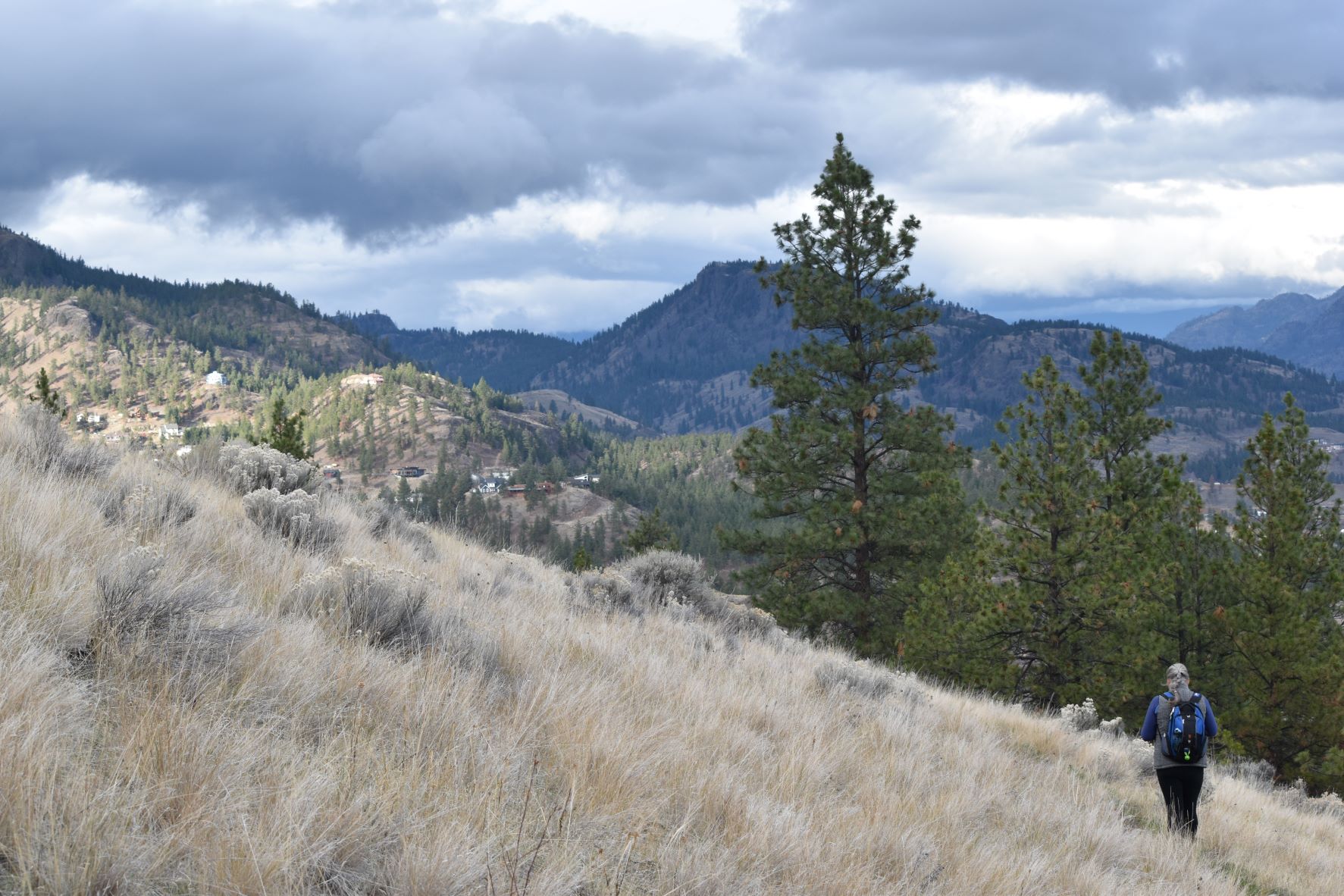
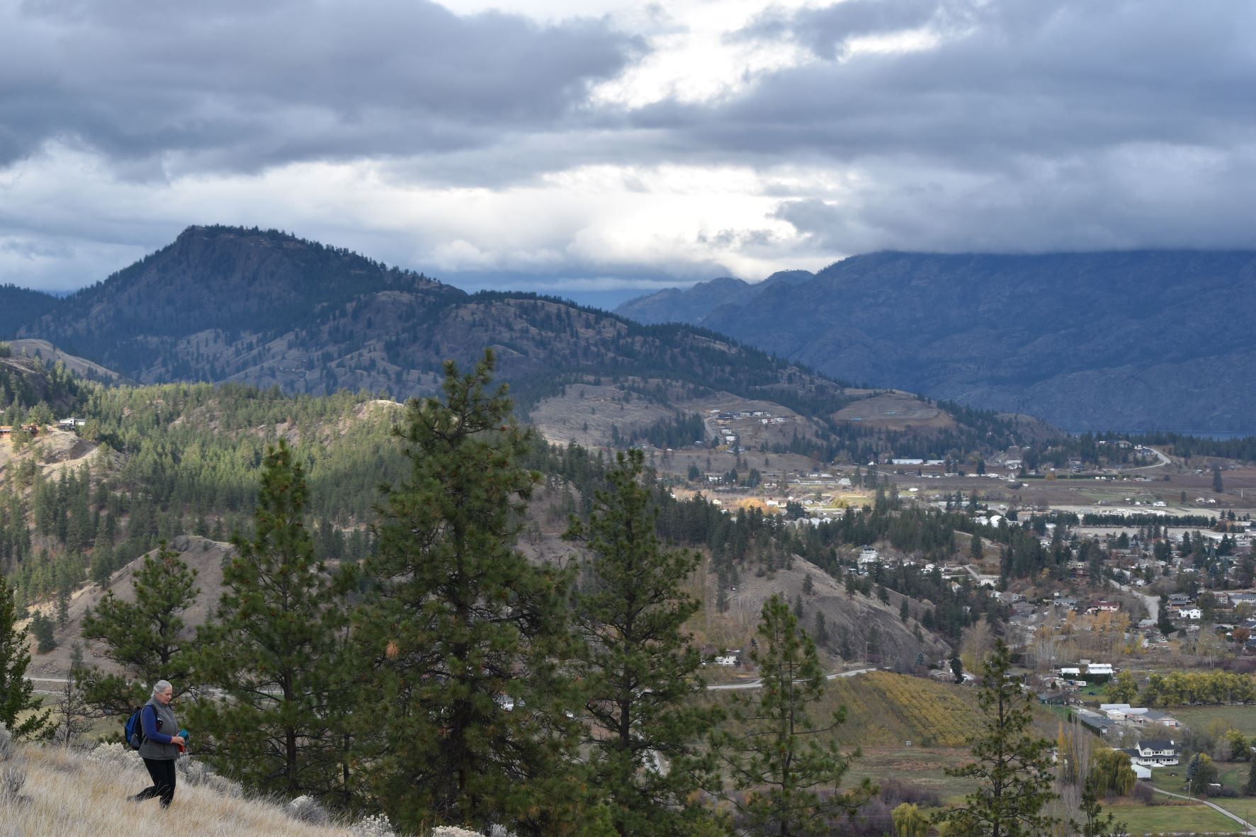
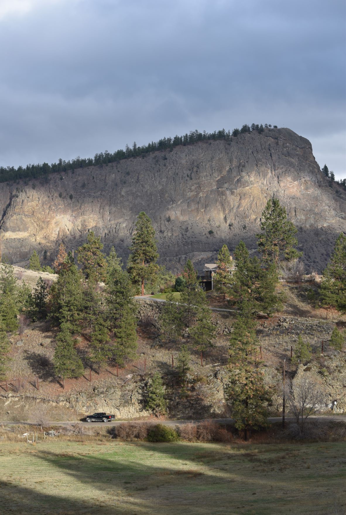
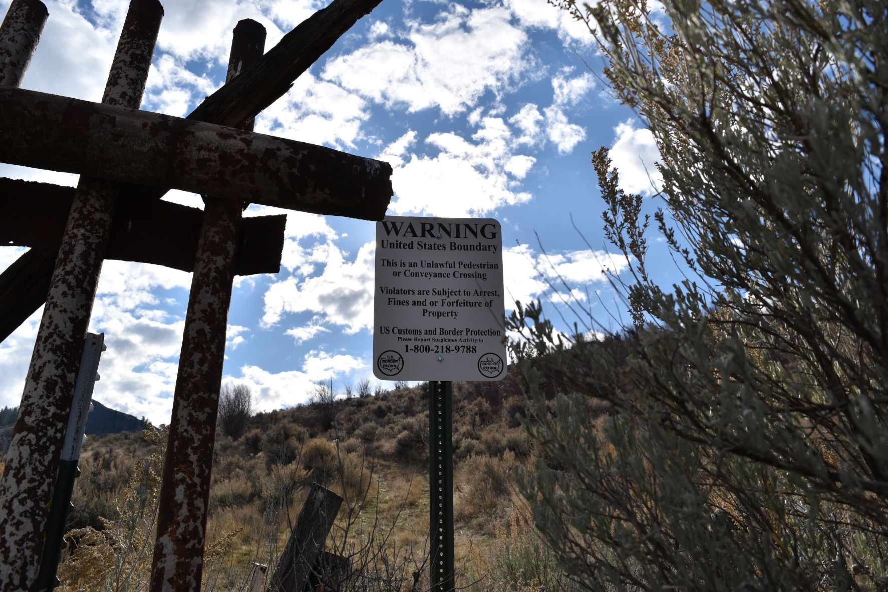
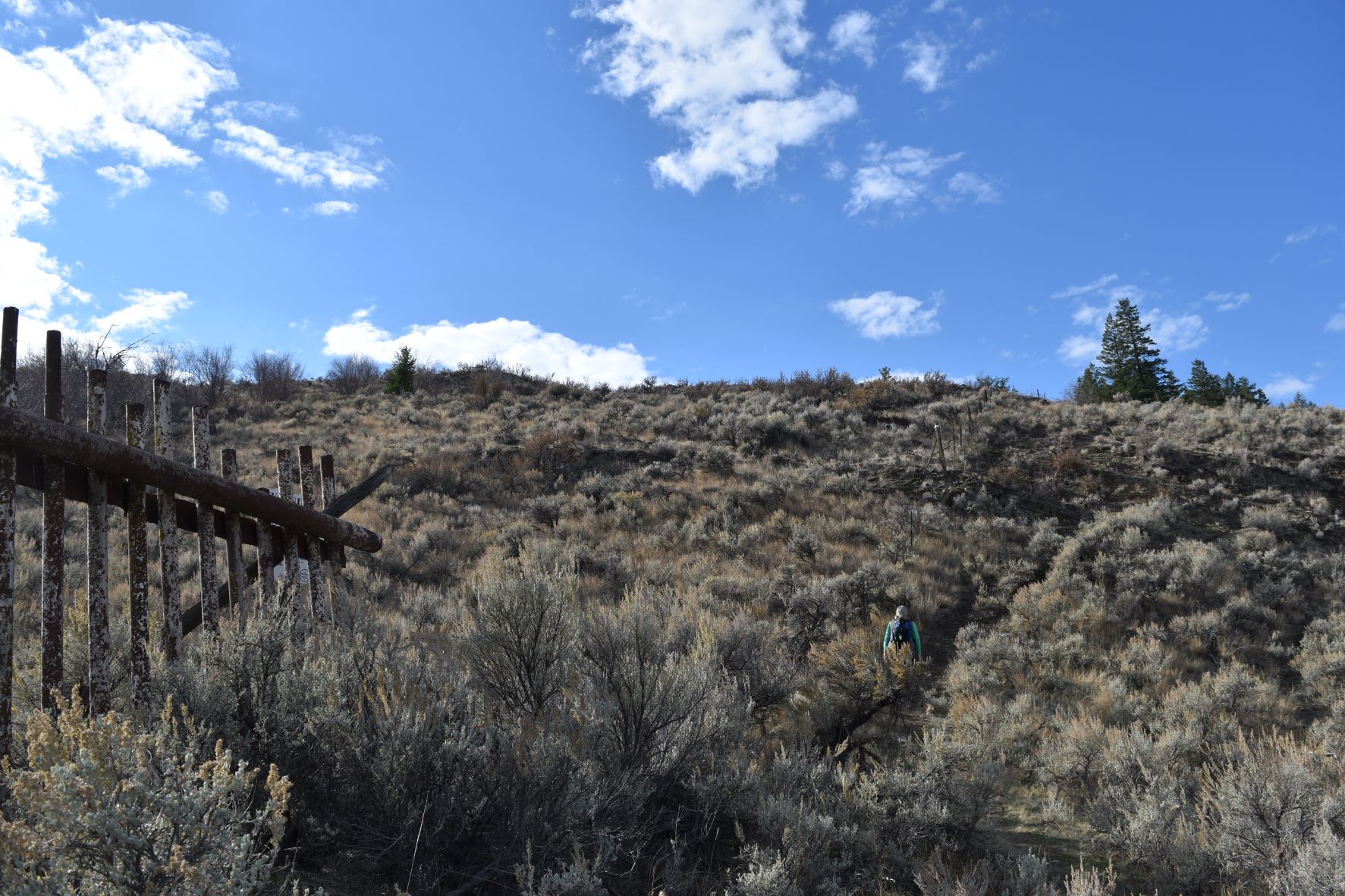
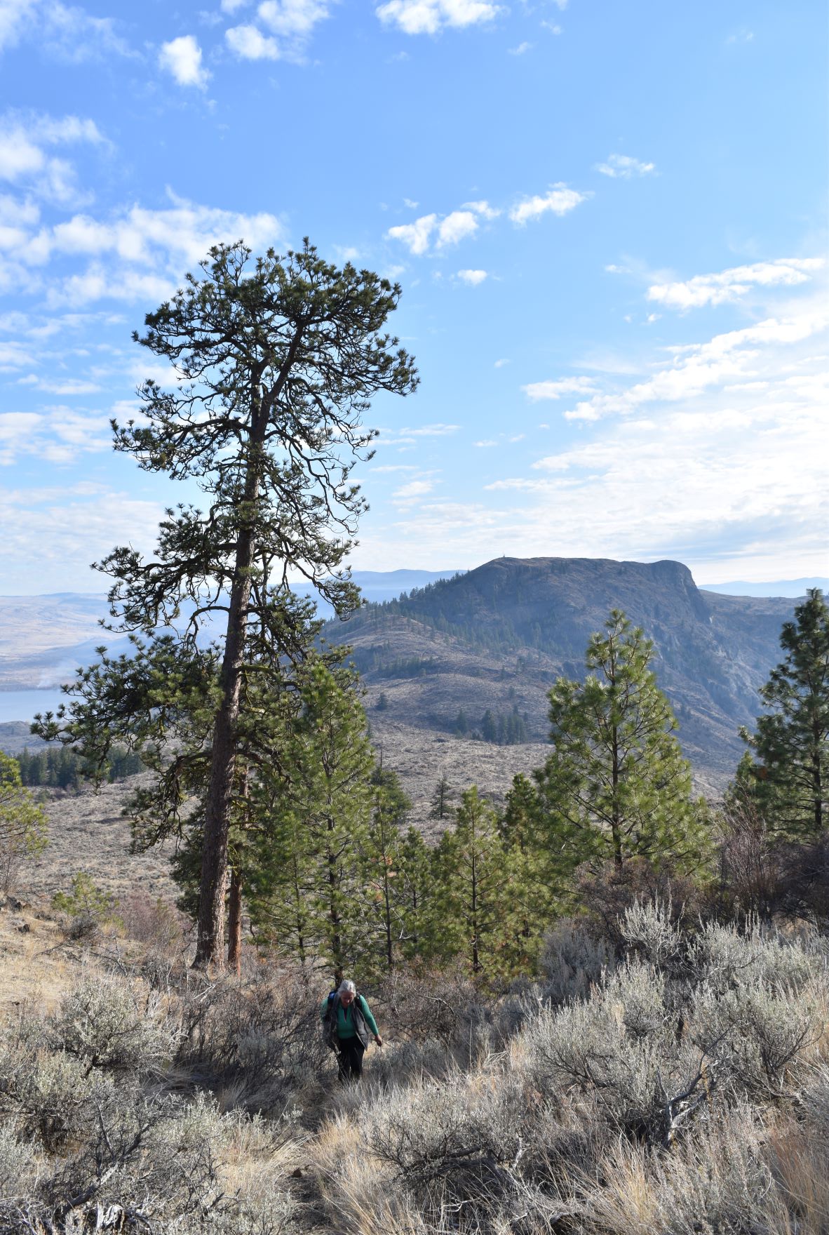
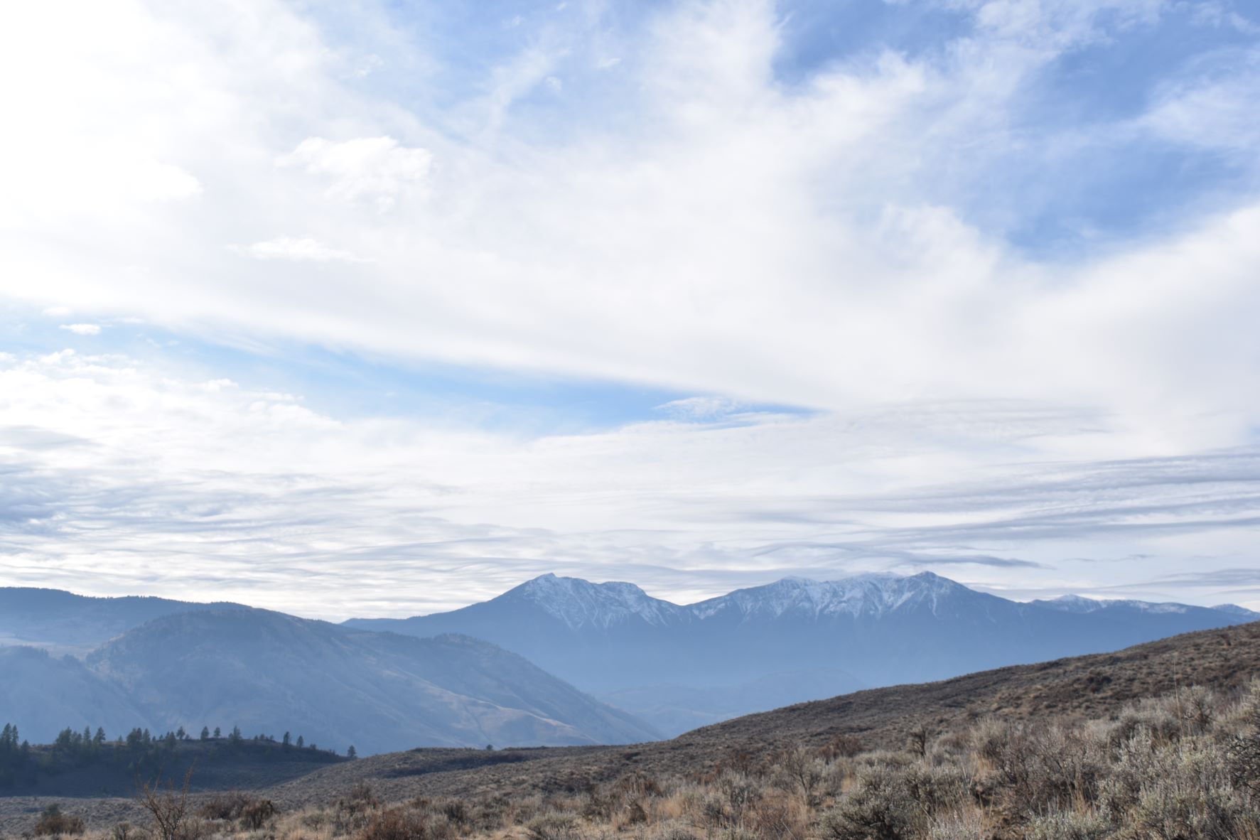
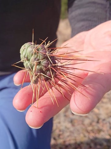
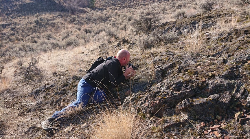
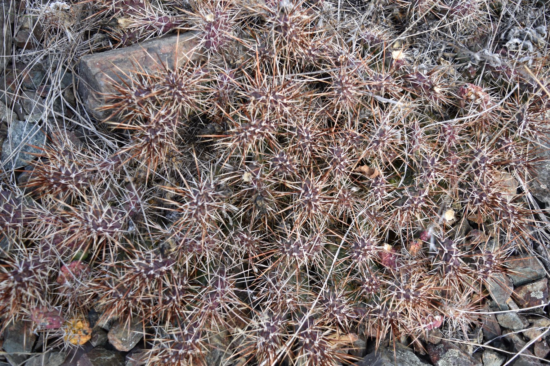
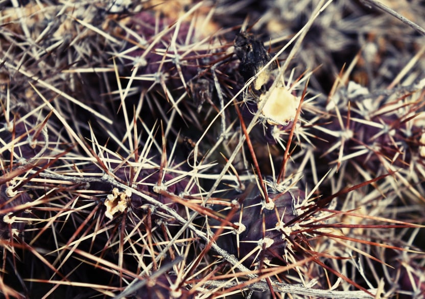
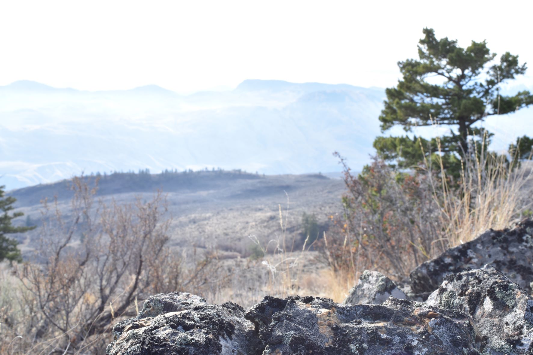
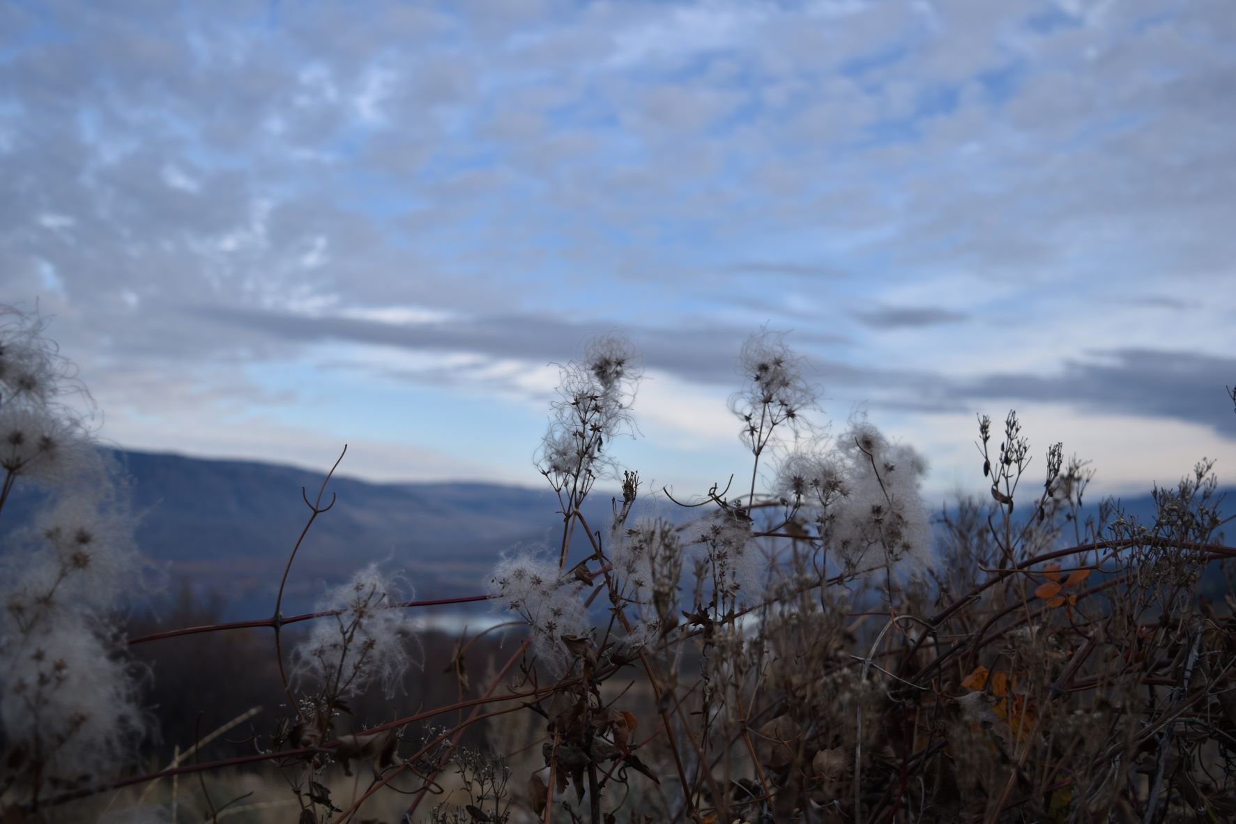
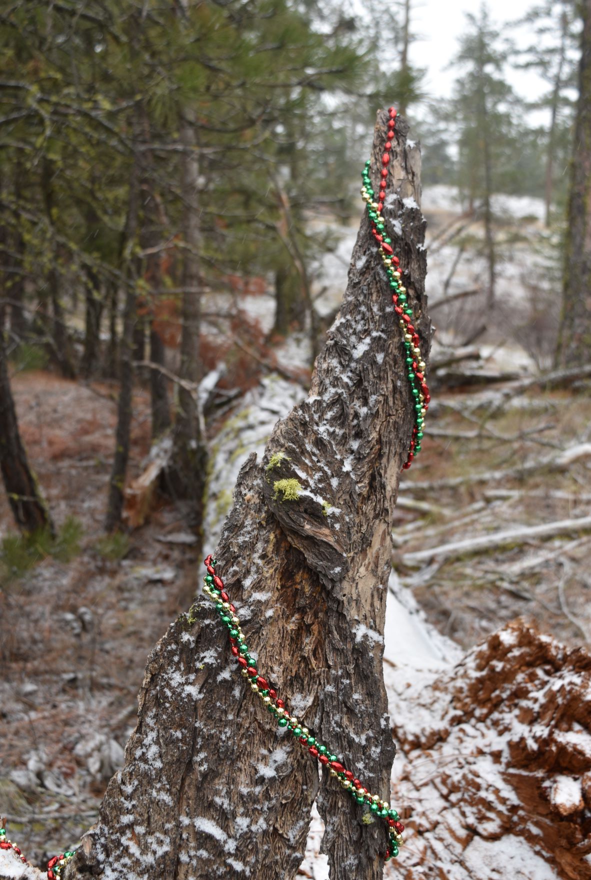
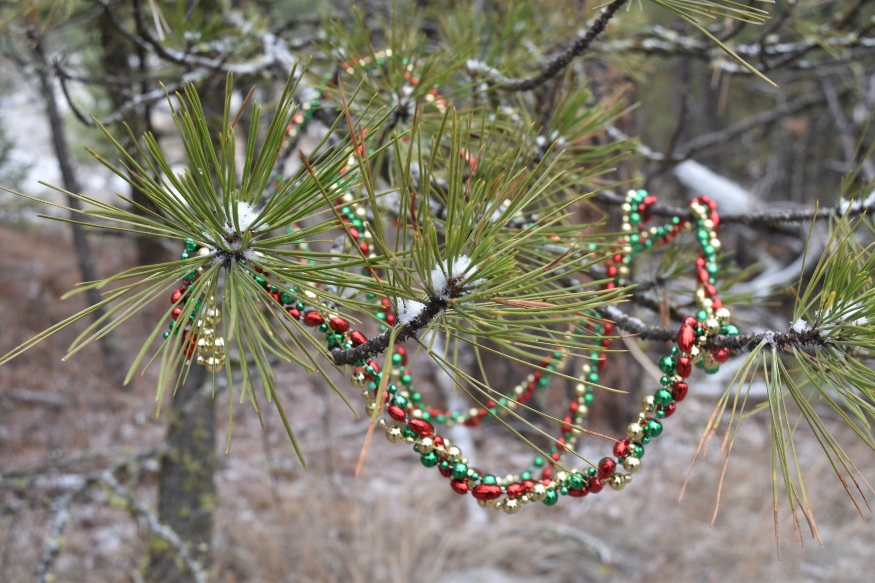
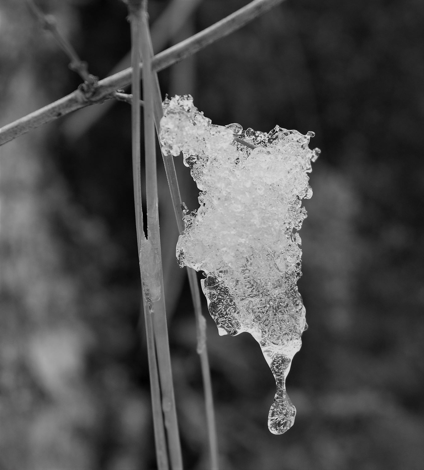
Extra pix.

Nov 22nd. Skaha Pictographs

The weather…as I keep on saying…..is becoming progressively cooler and I am trying to pick hikes at a lower elevation to reduce our exposure to extreme weather/conditions. So …today was a return to Skaha bluffs…but this time a far less scary route with a lower level hike….including the promise of some pictographs…..

When we got to the park the gate was closed…not sure why…but it meant that the first 1km of our hike was straight uphill to the parking lot….to begin the proscribed trail.

It seems pretty steep in the truck…I’m telling you it was a bit of a slog…!!..but once we got up to the park the elevation was much easier. It was a really windy day…and I think we picked a fairly sheltered hike…most of it was up the valley between the rock faces ( pretty intimidating rock walls either side of this hike….!!)

I did the phone call to mum on the way up….had to shorten the call cos the wind was so bad when we hit the top of the trail she could not hear me any more…!!!..and we also found this cool pictograph on the rock wall on the way up…

Lots and lots of bear sign……a bit of a bear alley really…but no actual bear sightings….either the bells work….or they were all sensible enough to be tucked up somewhere warm that day…!!!

Once we got to the end of the valley…the views out across the lake were phenomenal…

…..then as we climbed up to get a better view…we stumbled across more pictographs. A little unexpected delight….!!!

They are such simple drawings…but they are just sooooo cool…….

I tried to research to see if I could find more information about the pictographs, or pictographs in general….but information is pretty scant……anybody out there got some references..?

We were hoping that we could get to the other side of the rock here to get better vistas down the lake…..

Scott disappeared up the ladder and across the top of the rock…leaving a very cross wife……( has he fallen off, has he been eaten by a bear….crap he has the truck keys…!!!) (Editor. Did we keep that life insurance going ?)

…thankfully he re-appeared…and with some pix of eagles…so he said….!!!! I dont know…maybe he faked them so I wouldn’t kill him…!!!

….we always seem to find the fungi on the way down…!!!!

…..and so to the journey back down…..

…and I just have to add these two pictures…its the view from the entrance to the big Pentiction PC grocery store….

Next trip out goes up the Naramata Bench (mega wine country)….following the very spectacular Kettle Valley Rail trail

Extra pix.

November 17th , Hawthorne Mountain, a bit of snow…..

Another trail starting from that winding road from Okanagan Falls…The weather forecast was for snow, so we rushed out the door fingers crossed.

The starting point we found from the Dogtown trail…is the Mahoney Lake Ecological Reserve….and this was roughly in the vicinity of the trailhead for this one…but heading north instead of south. The path itself starts through ponderosa pine with those enormous pine needles (8 to 9 inches long) covering the path as you go.

There is an area just inside the reserve that has a generous scattering of those big white mushrooms peeking their heads up…an area obviously being harvested by someone judging by the number of cut stems….need to get my mushroom app on those ones…..they might just be delicious..!!!

Interestingly (to me anyway) this trail is two valleys down from where all the flooding happened in Merritt BC…destroying the roads and rail…and much farmland and homes in these past few days….but the pools and ponds along this trail are quite dry and at low levels……interesting how those mountains drain…..and how narrow the influence of that ‘atmospheric river ‘ was.

Lovely trail…with a few rocky scrambly up bits…..I might be getting used to these…maybe just a little….

As we headed ever higher we realised the view from this one is actually down onto the Dominion Radio Astrophysical Observatory (DRAO…… https://astro-canada.ca/l_observatoire_federal_de_radioastrophysique-the_dominion_radio_astrophysical_observatory-eng )………..…and then we started looking for better vantage points to see down that valley.

As we continued up…as promised the snow clouds rolled in…and now we were up in the snow line…..not a lot…..just enough to make it pretty……(not too slippery just in case anyone is concerned)

It was another bust on the view from the top…as once again we were in the cloud and blizzard so the views down were not up to promise….but we made up for it with some of the snowy scenes we were able to witness….and no bears…..

We did have one lone deer galloped across the path…waited for me to fumble out my phone and then take off again before I could snap any pix…..

It was a long loop across the top of the ridge ( we came up through the valley) on the way back down…we managed to find our way without dropping off any cliff faces…again.

….and just a little bit of bear sign………!!!!

Another great day out…thoroughly enjoyable…….

Next trip out is back to Skaha Bluffs but this time for the pictograph route.

Extra pix….

November 9th, Dogtown Trail….head in the clouds.

This was the trail recommended by the couple we met up the hill on the last walk……the weather is definitely changing now…and it was a bit of a last minute decision to do this one….it had been heavy rain all morning but we decided to go for it and so glad we did.

The trailhead is up a steep winding road from Okanagan Falls …about 20 minutes from our current home spot. The drive was up into an ‘out of the way’ little valley…and a less well travelled road.

I was finding it tough going as we headed up the hill….it did not seem that steep so I was thinking it was just cos it was quite a bit colder……by this point we are in to multiple layers of clothing….(and my newly finished latest knitting project, a very cosy double layered hat..!!!).

There was also this weird bucket/barrel swing thing hanging from a tree , in the middle of nowhere…any ideas?…anyone..?

Halfway up the path, the view is down in to a valley we did not know was there. Another chocolate box scene…as now there are the snow capped peaks behind.

As we approached the top of the hill, where the promise of more views down the other side resided….the clouds were moving in fast ( at that elevation) Mr Adventure was all for pressing on “into the clouds”…!!!

So…up in to the clouds we went……cold, slippery with poor visibility……but it was quite fascinating….silent and moody for sure….!!! But of course…no view from the top.

As we started to descend….coming back out of that cloud level was another amazing unveiling by mother natures weather department…..with the wispy cloud above us and the visible sun rays down in to the valley below……and the glinting waterways and roofs of the buildings below in full sunshine……

….and as ever….the return journey down the path reveals how steep it actually is…..leaving me strangely reassured about how hard I found the journey up. I think we are getting so used to seeing these steep grades that we are losing our sense of ‘steep’…lol…..

It turned out to be quite an exciting hike all in all…….yet another different terrain…..and another fabulous visual experience……Thanks Deb and Keith for the heads up on this one…….

Next trip out will be Hawthorne mountain….(.AKA Snowy Mountain per Mr Adventure…!!!)

Extra Pix

Nov 6th. Conkle Bonk…..!!!! Who could resist..!!

Not only was the trail called Mount Conkle Bonk (with frontal loop..!!!) but the trailhead was in Summerland……

We drive through and past Summerland on the way to Kelowna….but we had not actually stopped there before…..

As the weather gets a little colder and winter is tapping on the window ….Summerland sounded like a good place to spend the day.

At the start of the trail…the signposts indicate that it is part of the Trans Canada trail…which was kinda cool too…..considering some of the bits we have done.

Theres a fair bit of history to Summerland it seems…..

It would appear that all kinds of important banking people in Canadian banking history have connections to Summerland…as does the Cremation of Sam McGee ( it was all new news to me ) https://en.wikipedia.org/wiki/The_Cremation_of_Sam_McGee

Its a lovely walk…and less intensely uphill than some of the ones we have done recently. There were quite a few mountain bikes……those guys are braver than me..(or crazier..!!)

Winding up the switchbacks we met up with a couple of hikers that we passed , they passed, we passed a few times…eventually we stopped for a chat on the top (Hi to Deb and Keith..!!). I think they were quite a bit fitter than us…..very nice couple. Good chat…and some recommendations on local trails……

They also pointed out the train station….this little bit of the KVR has a working steam train… https://www.kettlevalleyrail.org/ ……..unfortunately the train does not operate past the end of October….but for a reasonable fee one can ride it up the valley .

The views from the ridge at the top did not disappoint….also, curiously, there was this Tibetan flag tribute……kinda cool to find up there…

Deb and Keith also made the recommendation for our next hike ( Dogown Trail ) nice people…we hope to meet them again some day out on the trails.

There was a bit of bushwhacking on the way back down on this one….but no sheer drop off a cliff incidents….so all good…!!!

There are lots of trails up around this spot….so there may be a return journey…..

Next spot will be Dogtown Trail….or as Scott is keen to call it…Cloudy Mountain…!!!

A few extra pix

Nov 5th. Penticton Yuletide Market

We had been chatting to the cheese vendor at the Kelowna market…and he mentioned this three day market in Penticton that he would be at…..so it seemed like another , slightly different adventure to add to the calender. https://www.visitpenticton.com/event/yuletide-market-at-the-penticton-trade-convention-centre/

Penticton Convention centre is also where the pool (and the hockey arena ) are…so we knew where we were going (for once..lol).

Penticton Trade and Convention Centre

Lots of the usual suspects……Christmas crafts abounding……

I was surprised that Macrame seems to be a thing….there were quite a few vendors selling macrame crafts..!!!

The cheese guy was there (so we bought some fancy Gouda….!!(😋)…

…and the samosa lady…so …of course we had to get some of those…..very festive…!!!

We finished up, I would have to say, more than a little disappointed…..I thought we might find some interesting ideas….and there probably were……

I think its more than possible that what one learns from this new minimal lifestyle we seem to have adopted…..is how much ‘stuff’ no-one really needs…!!!

Next adventure ….back to the hikes…..conquering Conkle Bonk…!!!

Nov 1st. Almost the US border…..

Soooooooo close……..!!!! ……………….it was tempting..!!!

A trip down to Osoyoos for a mail pick up seems more efficient if we can find another hike in the area. South Grasslands area lookout was the name of the trail…I did not have high hopes for it…It was posted as 8 km……so we were expecting a fairly easy walk with some views down into Osooyoos from a higher vantage……

We got that for sure….cool but lovely day with a mirror flat lake reflecting the image of the mountains on the other side of the valley.

The other fun piece on this hike…was that for about a kilometre it runs along the fence that is the Canada /US border….since we can’t actually get there…it seemed like an entertaining jaunt…just to say…well there it is….!!!

The route had other plans for us…….apart from being a steady up…..once we got to the fence, we walked along it heading slightly west……and up…!!

…a little treat on the way up…some eagles…..( just a little bit too far for the lens the photographer had on the camera……)

Once we got up there, the view became, not just the vista down in to Osoyoos….but we got the unexpected reward of a panorama into the next valley….including the snowcapped range on the west side, and the Okanagan valley on the east side…..truly spectacular….and worth the climb. It was a clear enough day that we could actually count four ranges of mountains looking west….

The further up we climbed the more impressive the view became…..

We stopped for a water break and a snack at the top….and so we found a rock to sit on…Scott sat down first and put his hand down on….a previously invisible local resident……

There were a few words ($%&**”#$>>>!!!) said as I, apparently, was not fast enough with my picture taking…!!!! Offender removed…..got to love my monster band aids..!!

( Editor. Pulling the spines out sounded like separating velcro and felt quite uncomfortable )

And so…somewhat reluctantly…we headed back down…..

Yet again…we started the day with no great expectations…and this great land that is Canada wow-ed us again……It was a beautiful day, and its almost as much fun picking through the pictures for the blog post seeing those clouds and those mountains again.

Next trip is the Penticton Yuletide market……

Extra Pix