Feb 11th. A Wander of Fire and Ice.

With a bunch of sunny days in the forecast…and a balmy +5 C promised for the day…the alltrails pick was for Bear Alley. It just sounded so enticing……and it looked from the map , like a hike that would keep us mostly in the sun.

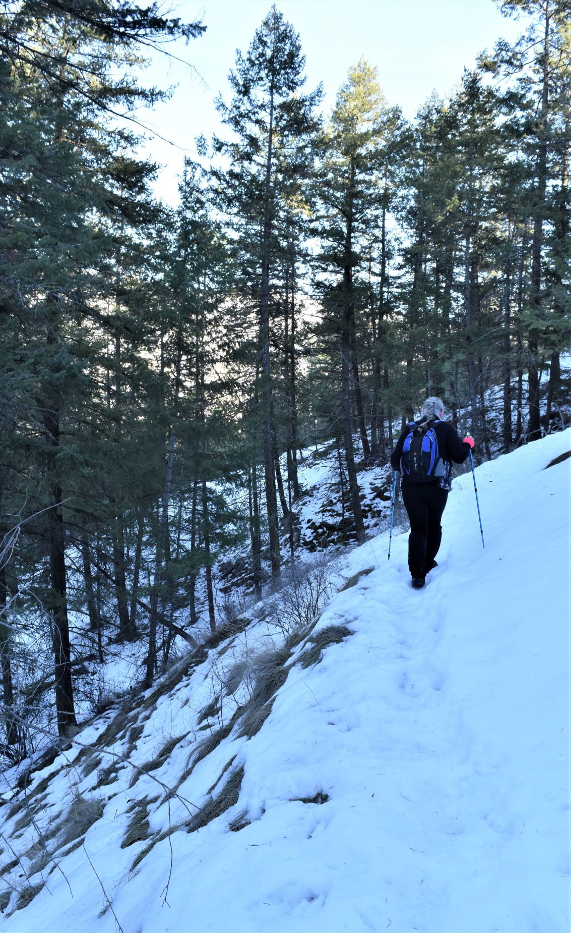
The road leading in to the trailhead was sheet ice…and seriously downhill…..so we backed up a bit and walked down. Having geared up with my gaiters and ice trax…we trudged up over the hill again.

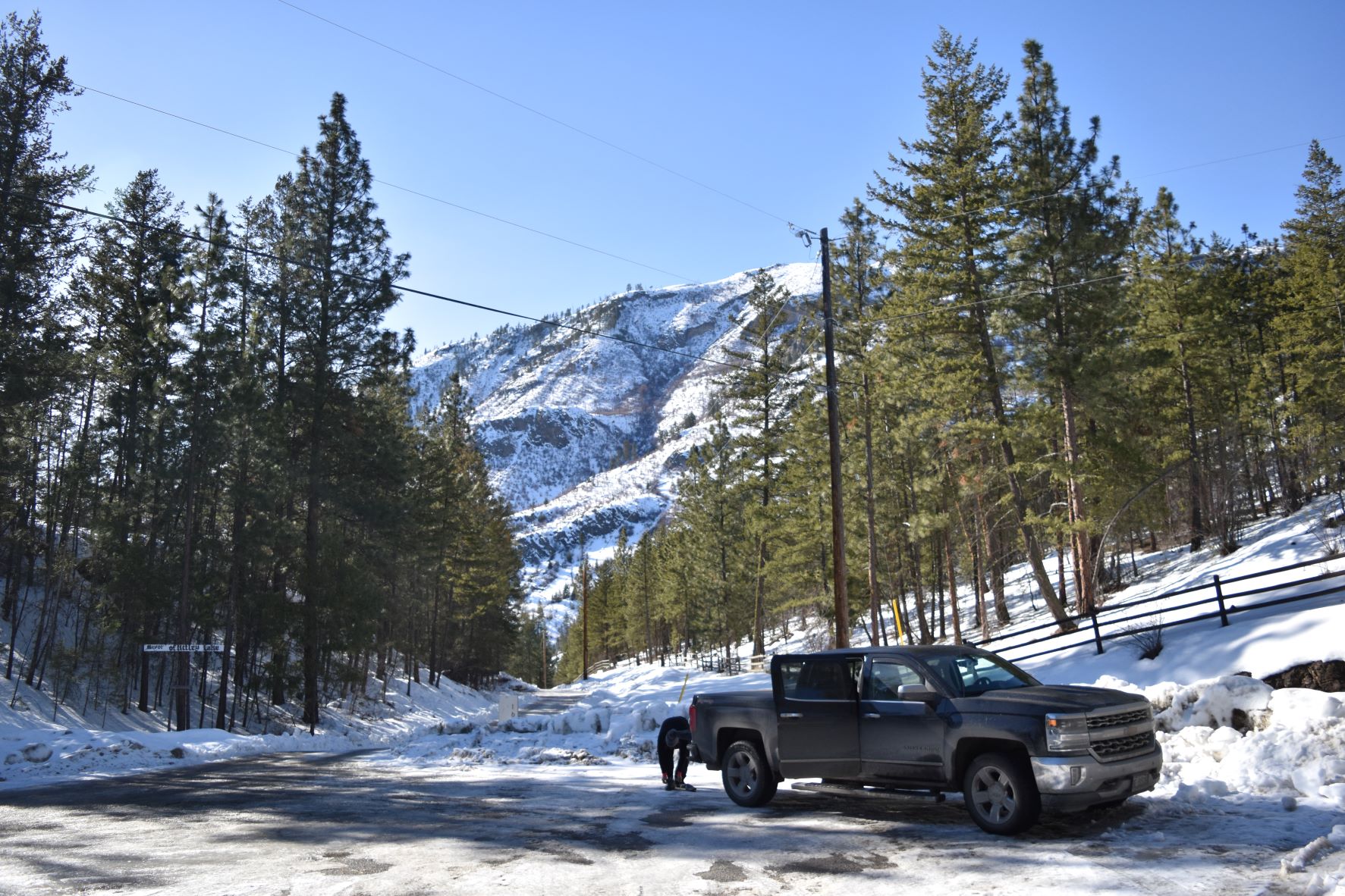
The point that Alltrails said was the trailhead was on private property with multiple clear signs prohibiting trespassing.( BTW..I reported it to Alltrails and they have since deleted the map ) Disappointing b/c the road ahead and the hillside we were headed to looked amazing. We had to drive back down to OK falls to get enough signal to find an alternate…..

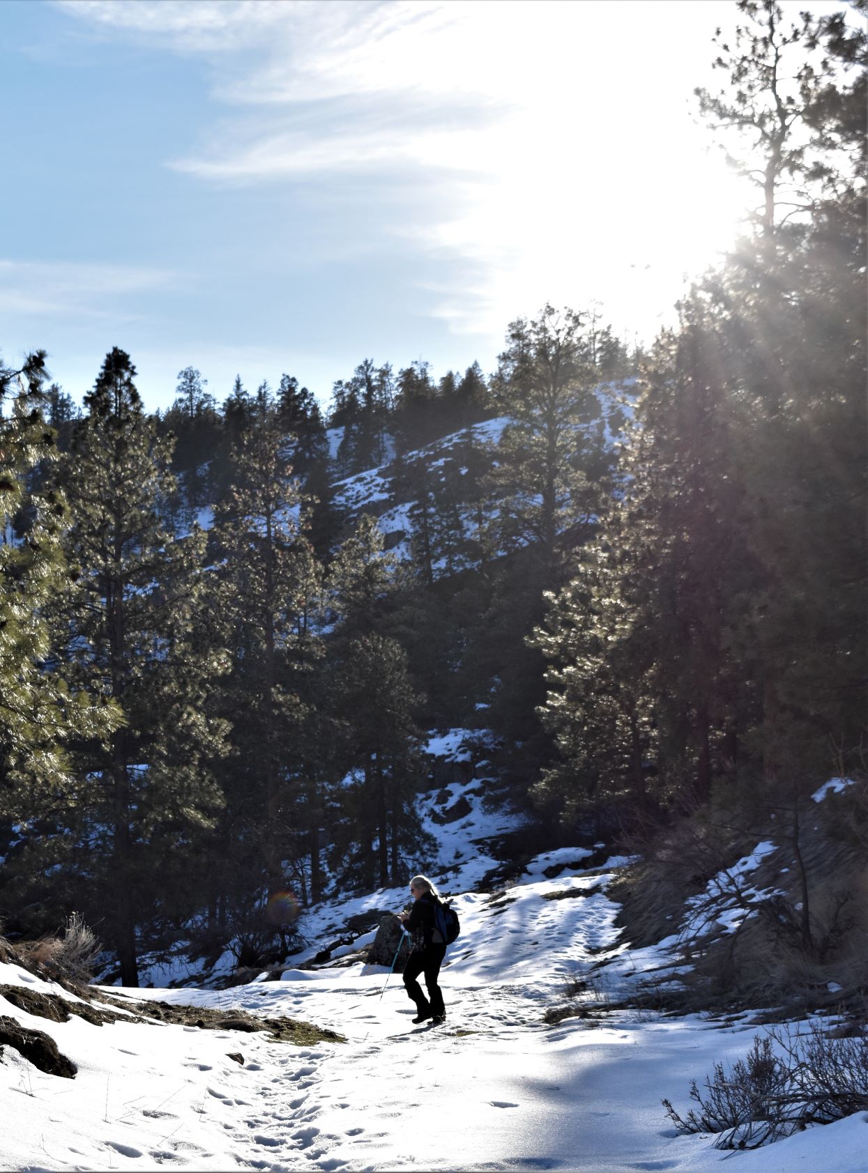
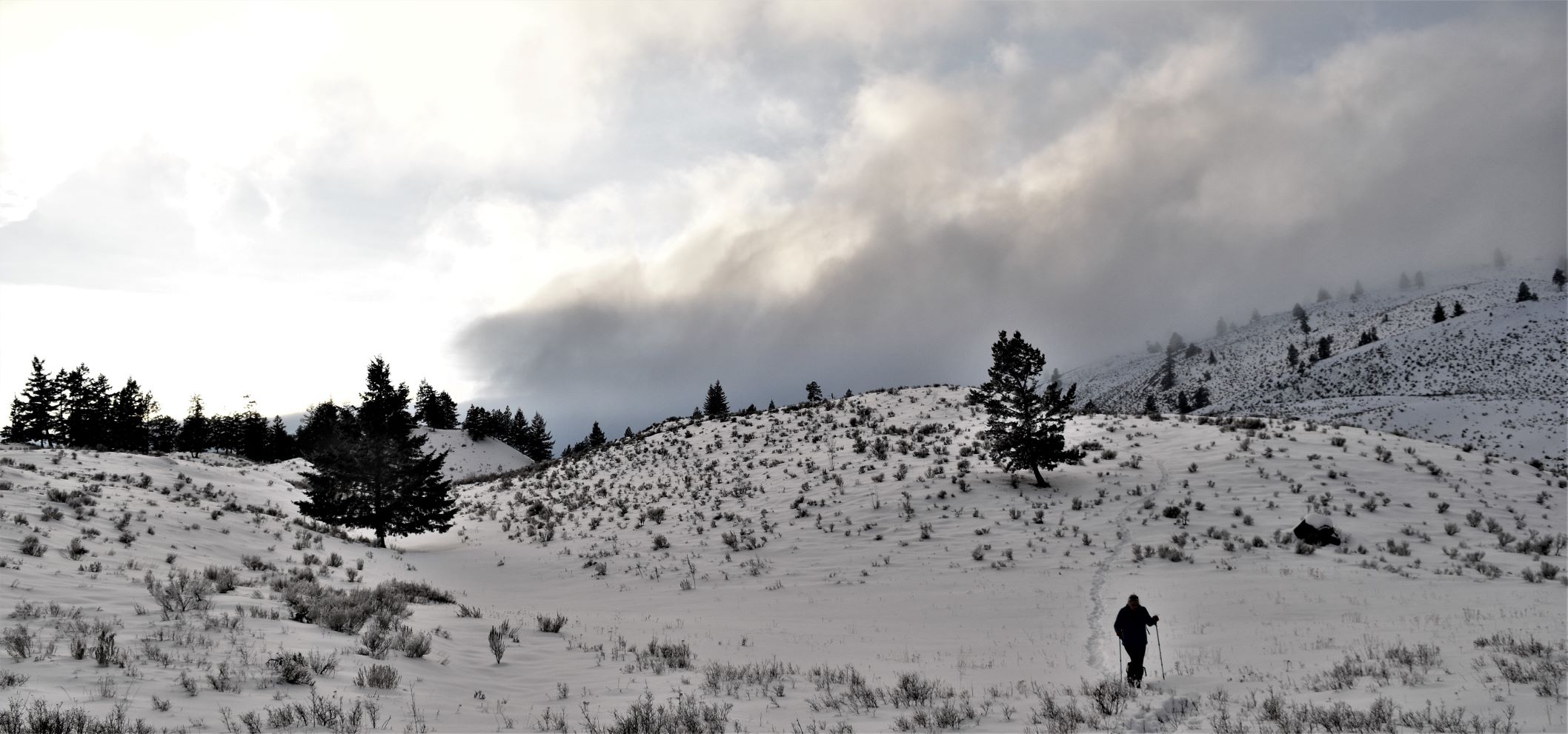
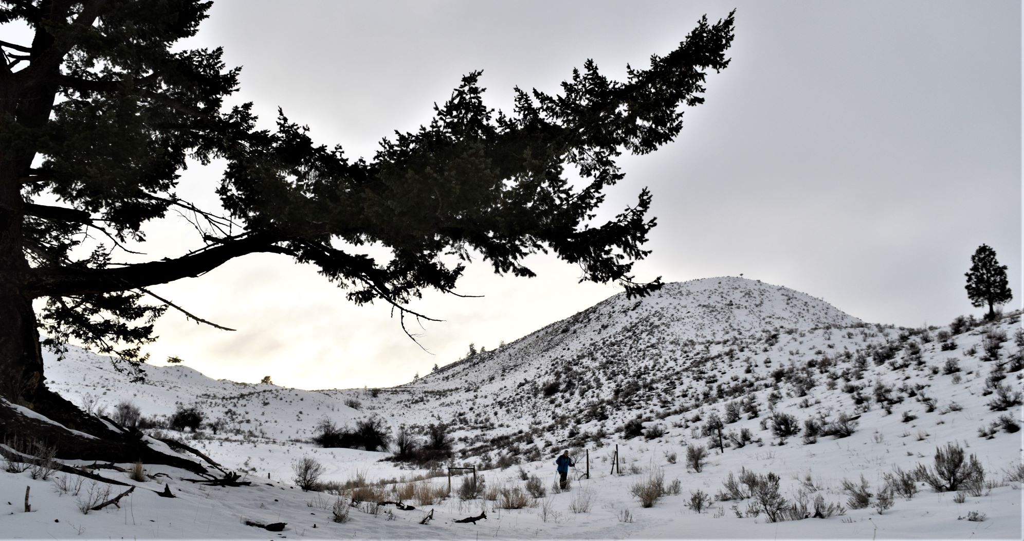
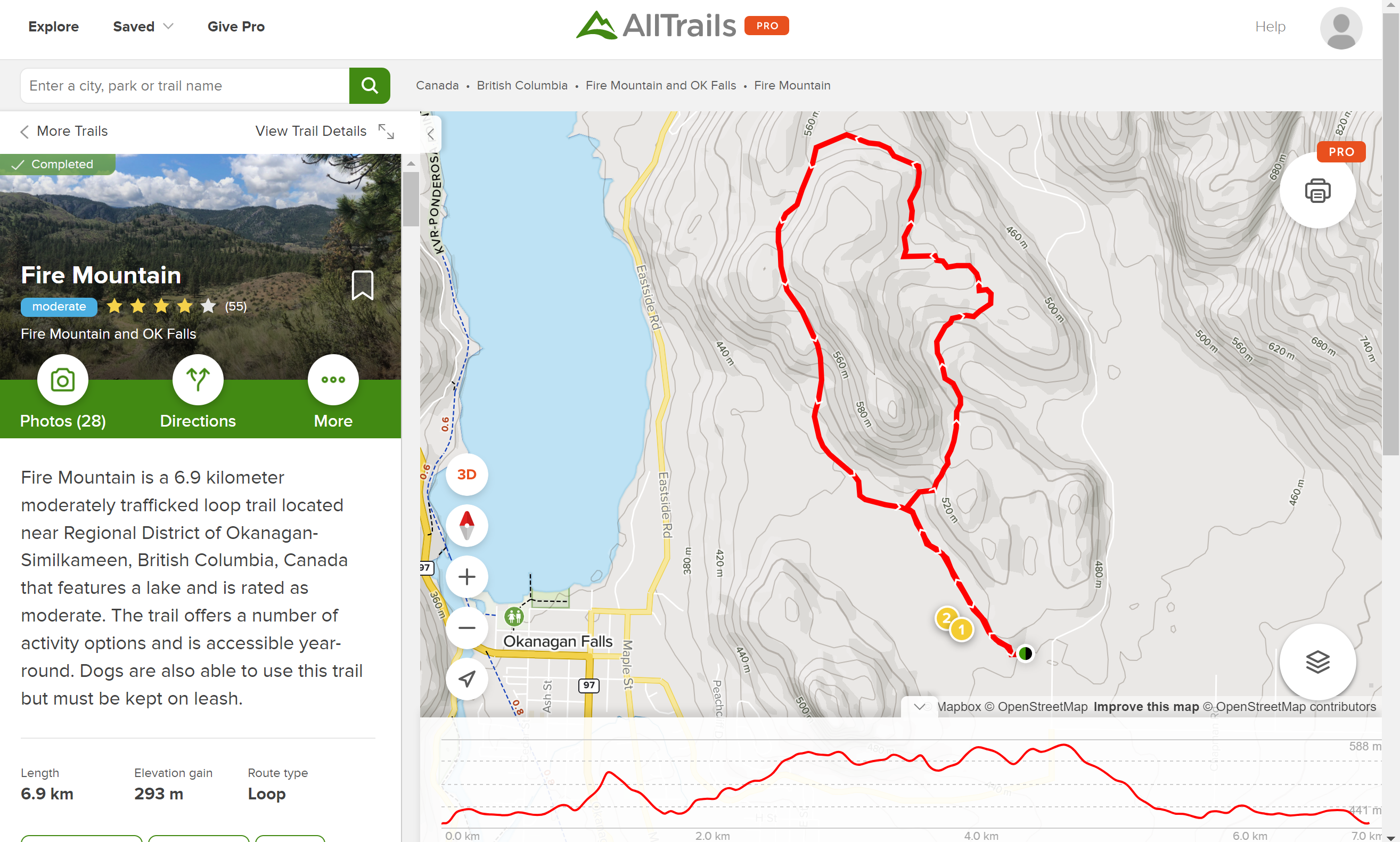
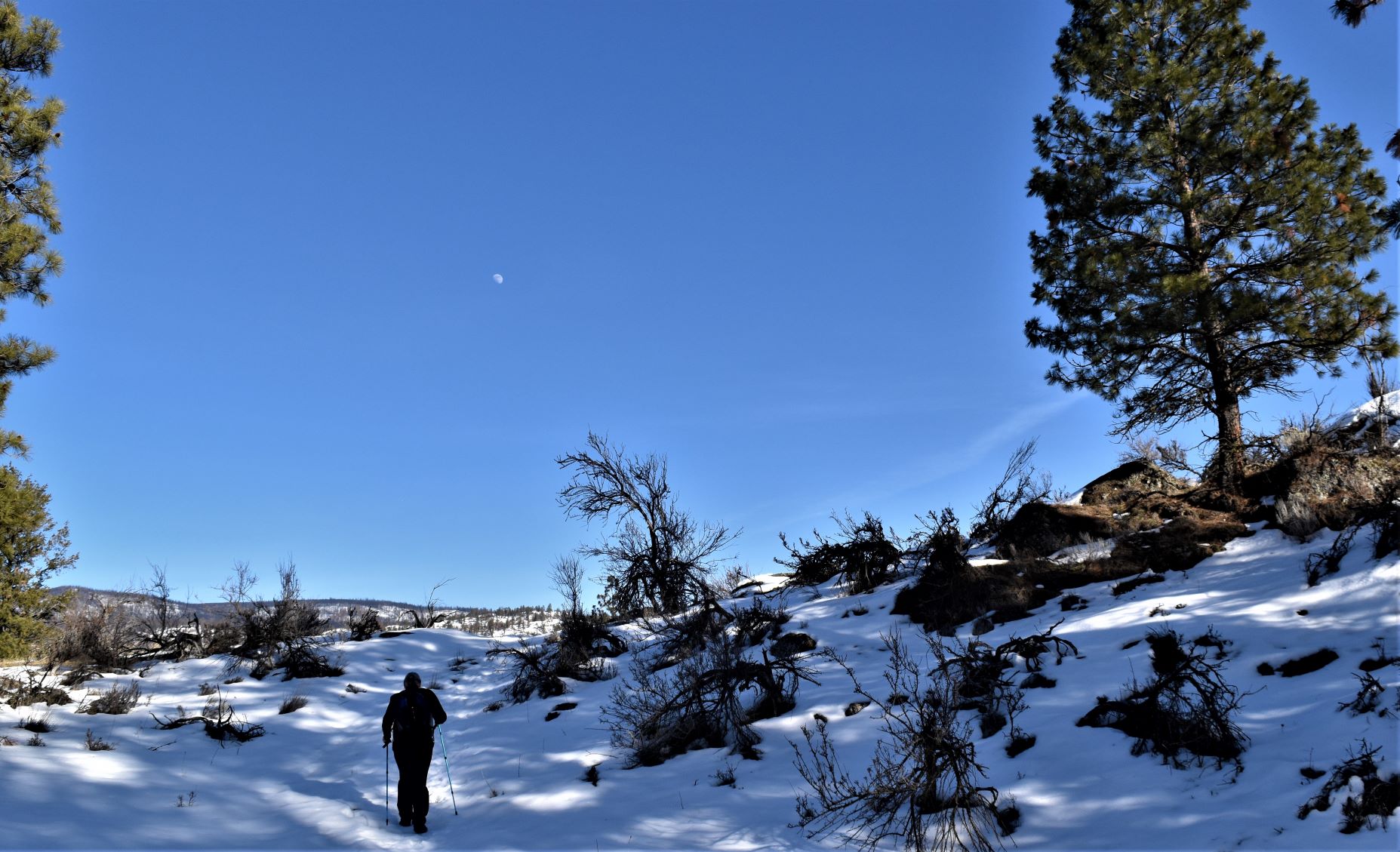
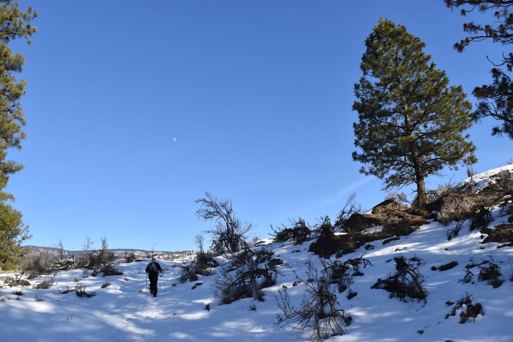
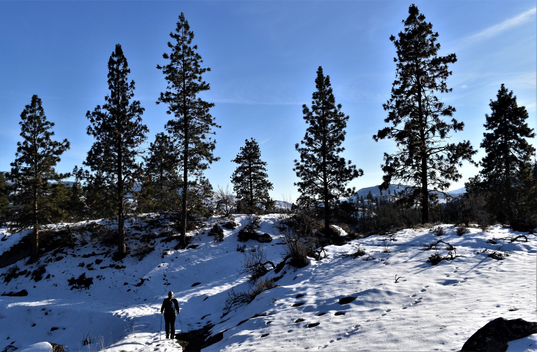
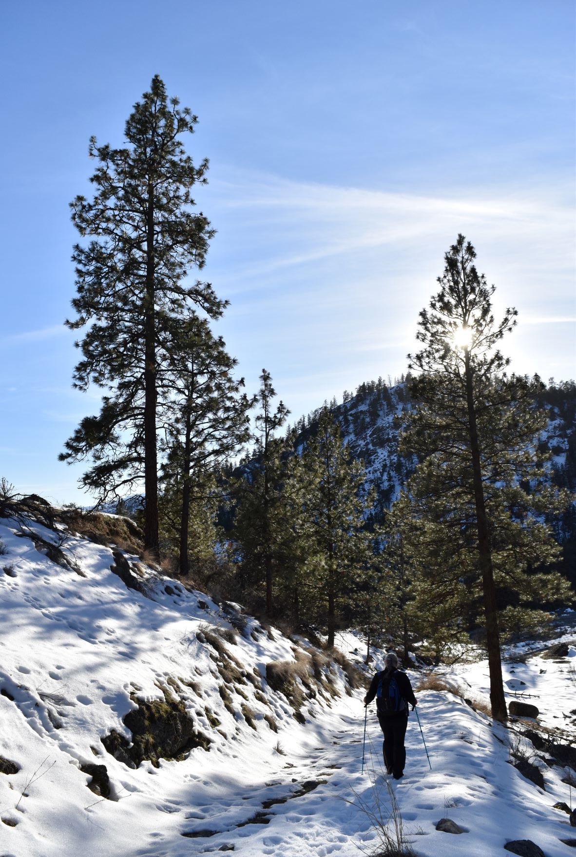
The alternate today was Fire mountain, same parkland as Peach Cliff, but this one was a loop around Fire Mountain.

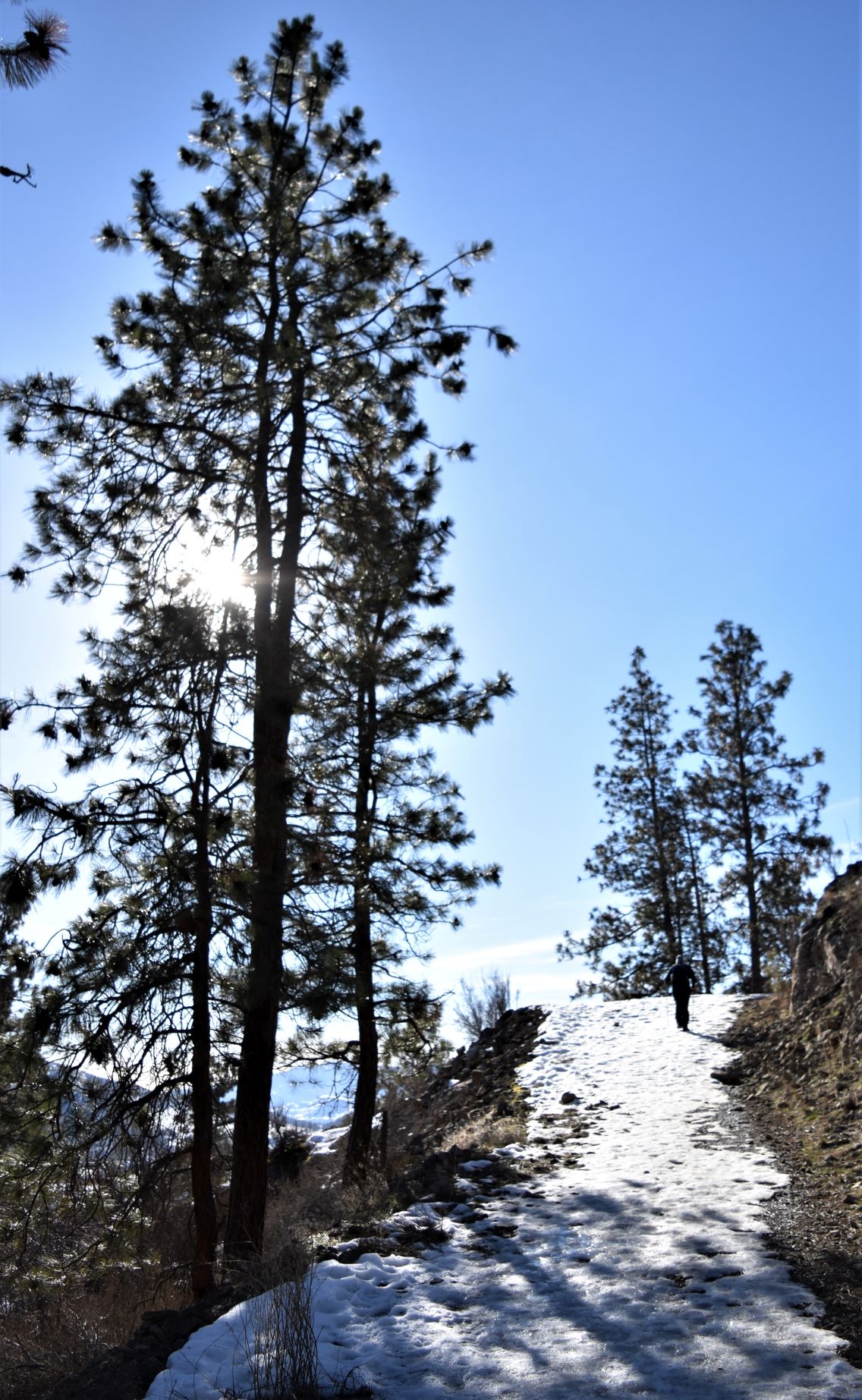
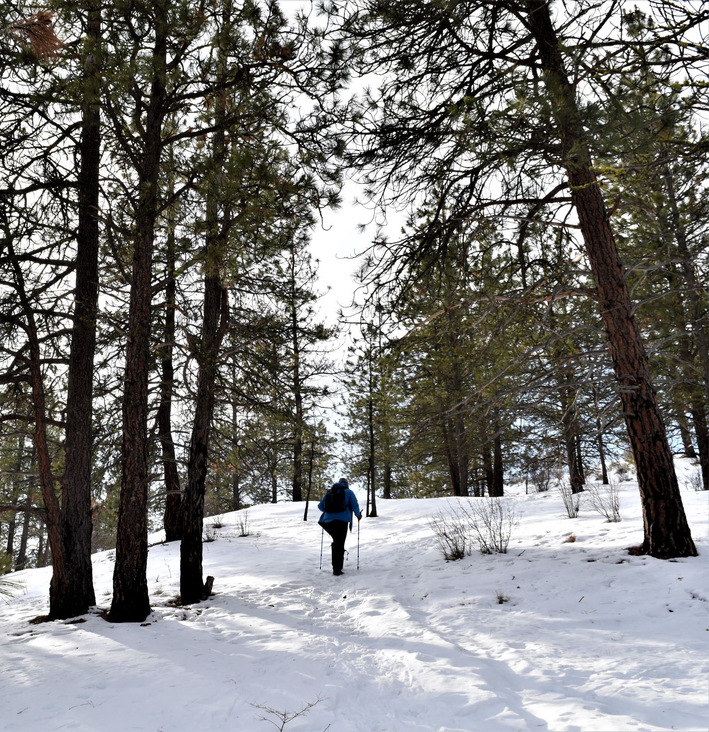
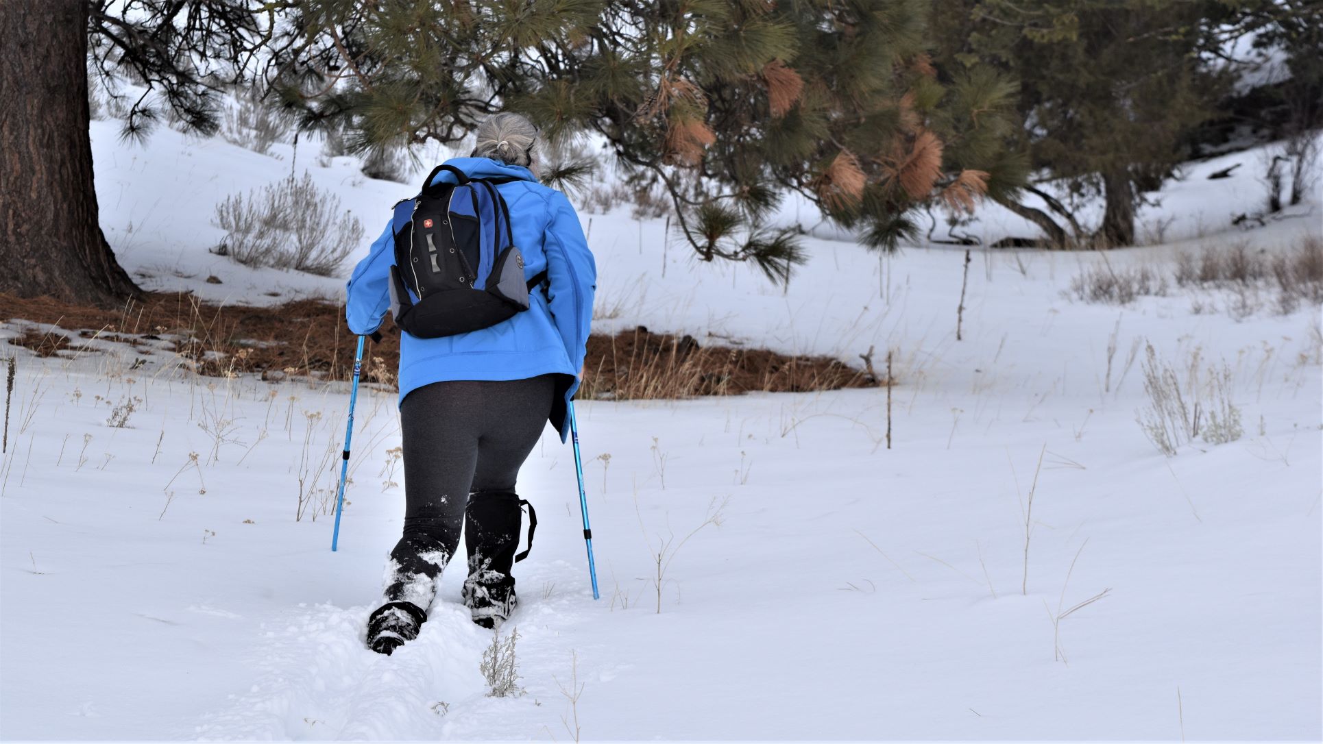
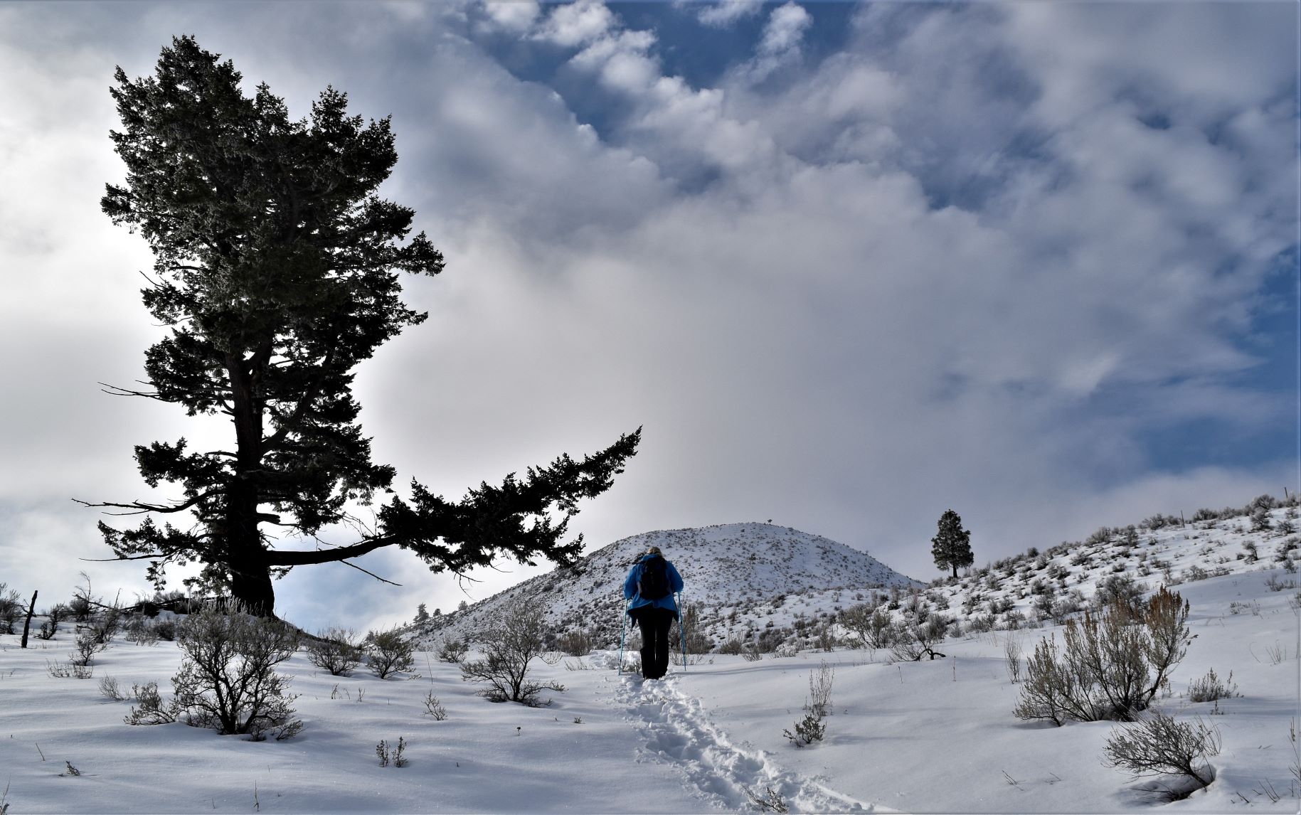
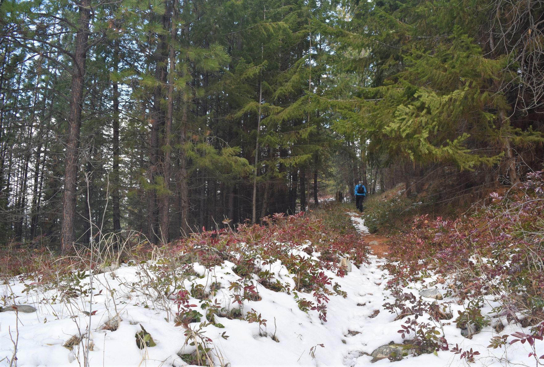
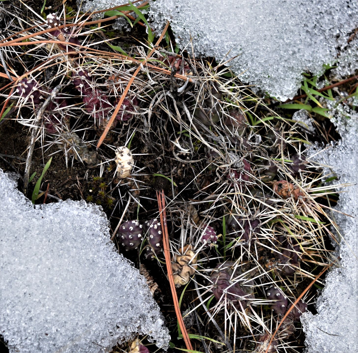
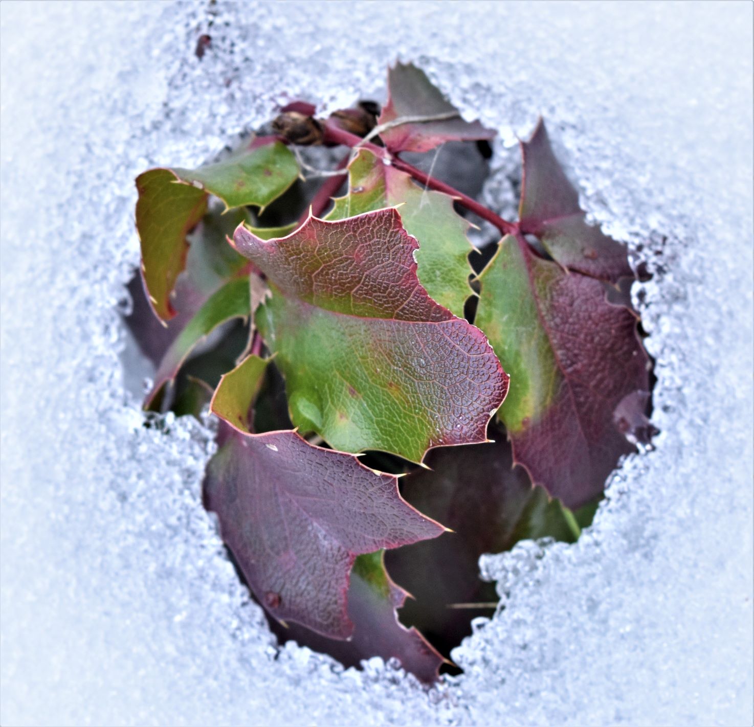
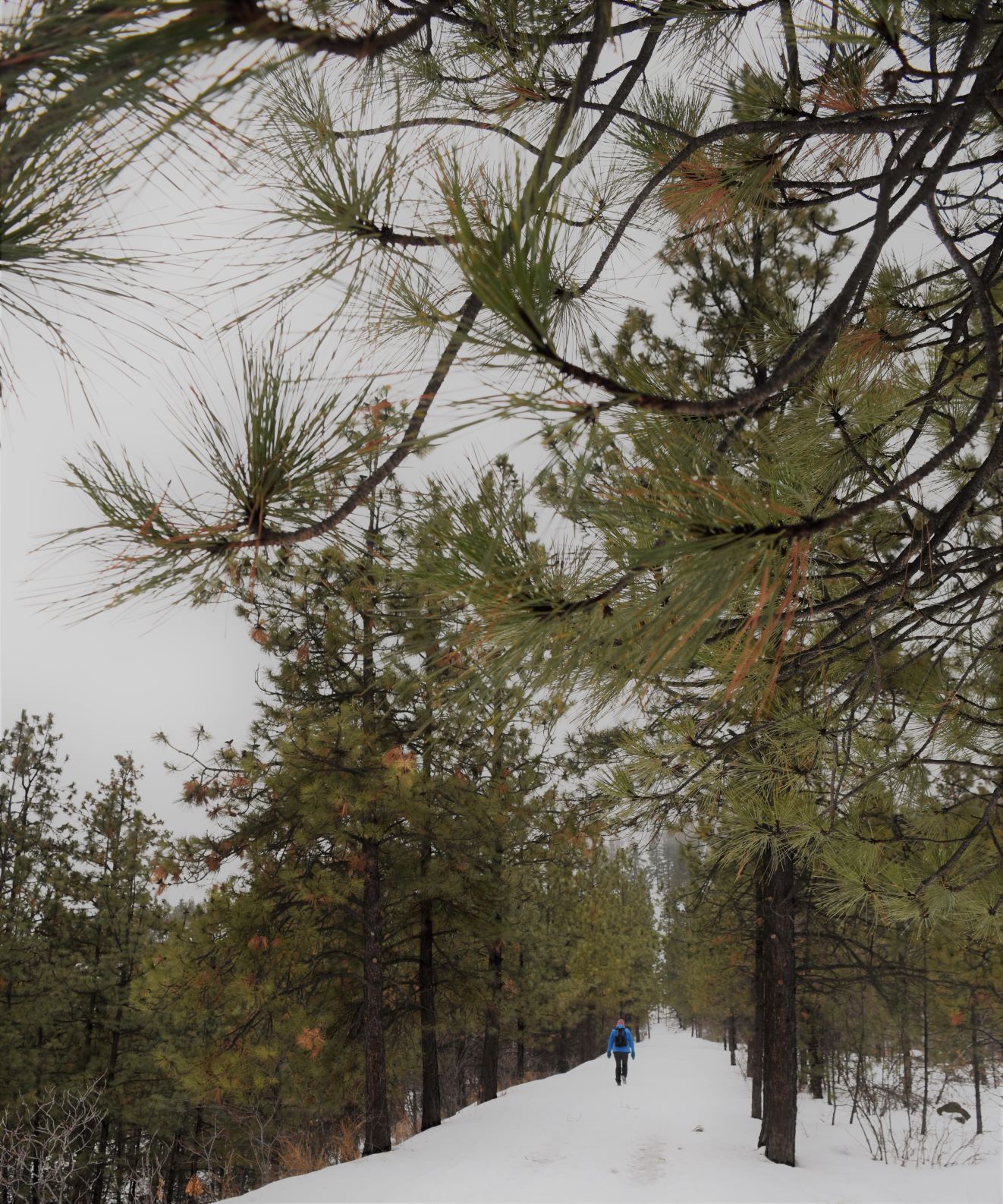
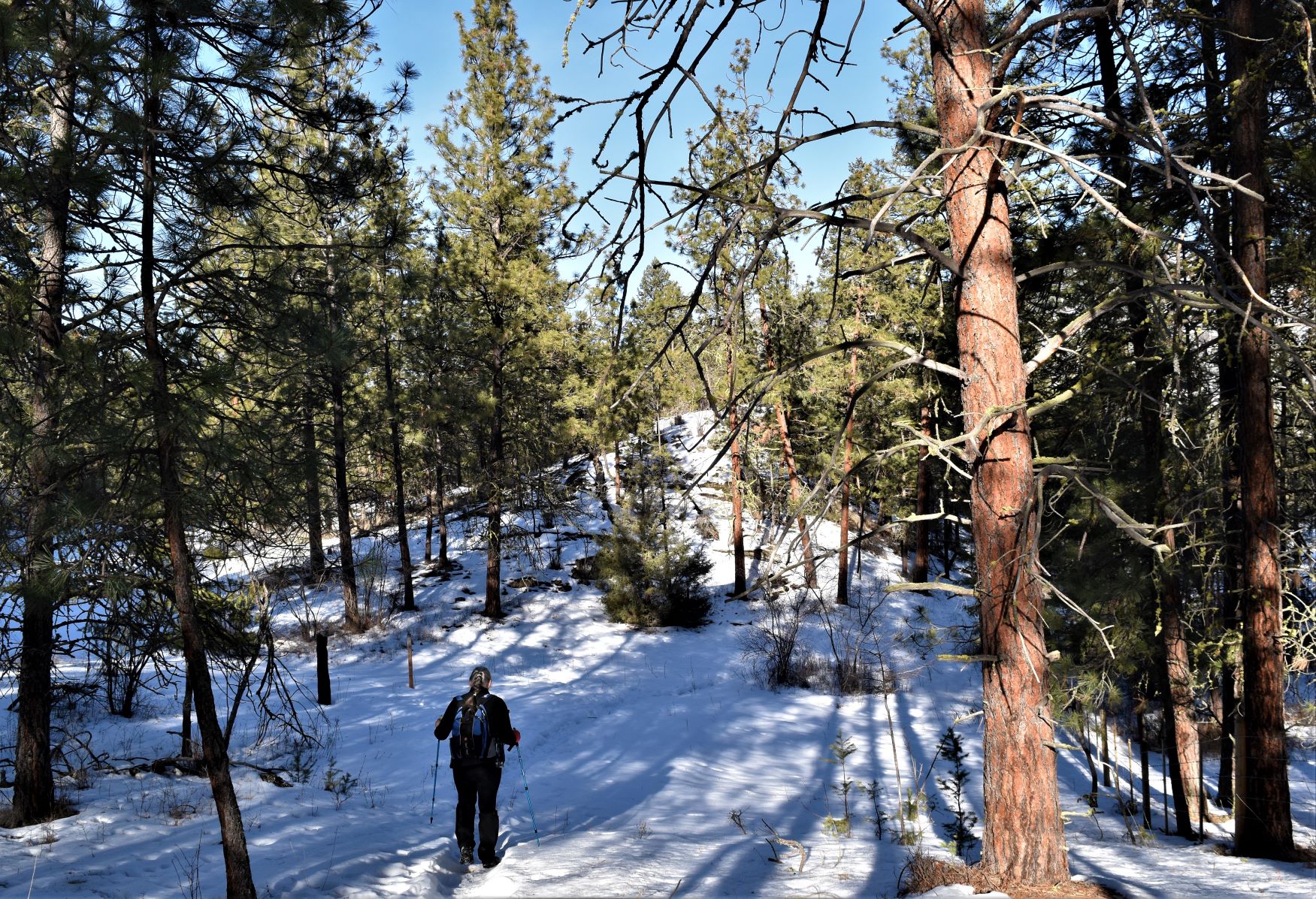
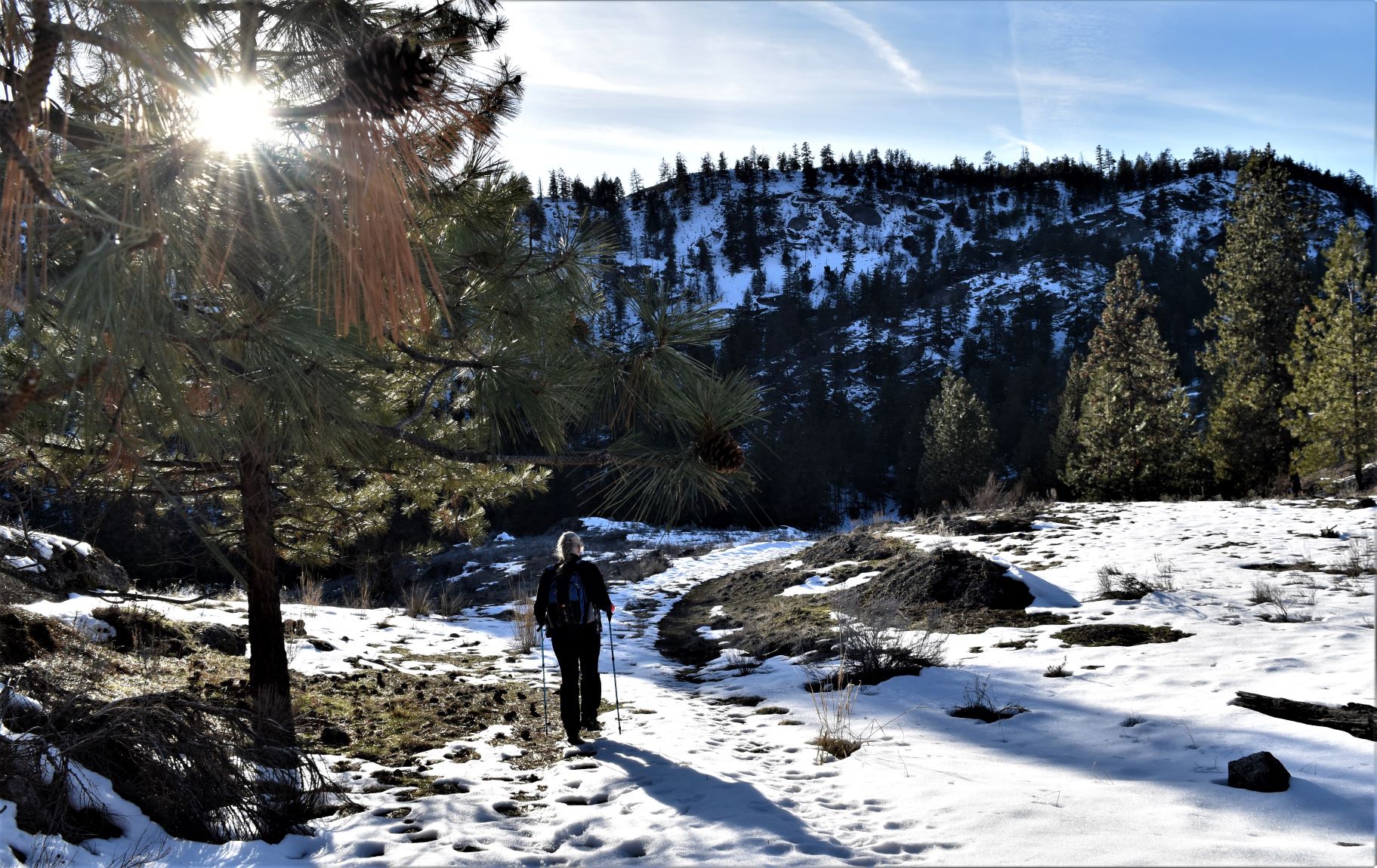
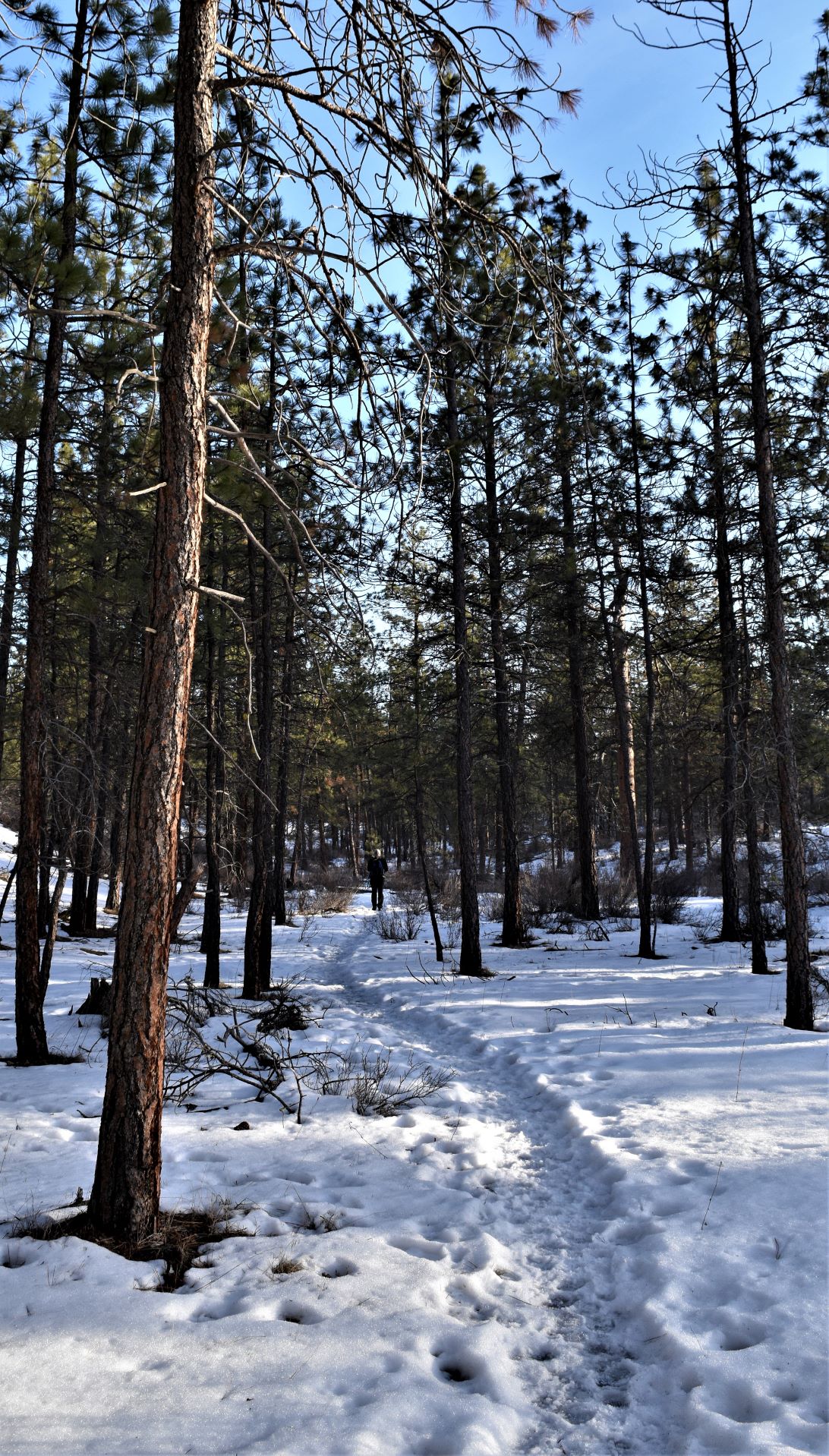
We found ourselves back among those majestic ponderosa pines. On the most beautiful blue cloudless sky day. (Editor. My favourite little spikey cacti friends safely buried below the snow )

We almost walked in to the middle of a herd of mule deer.

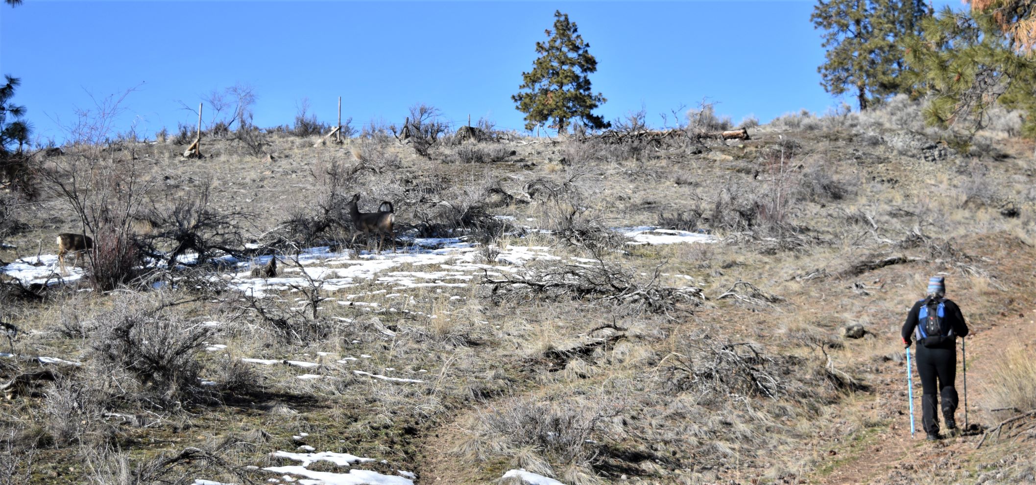
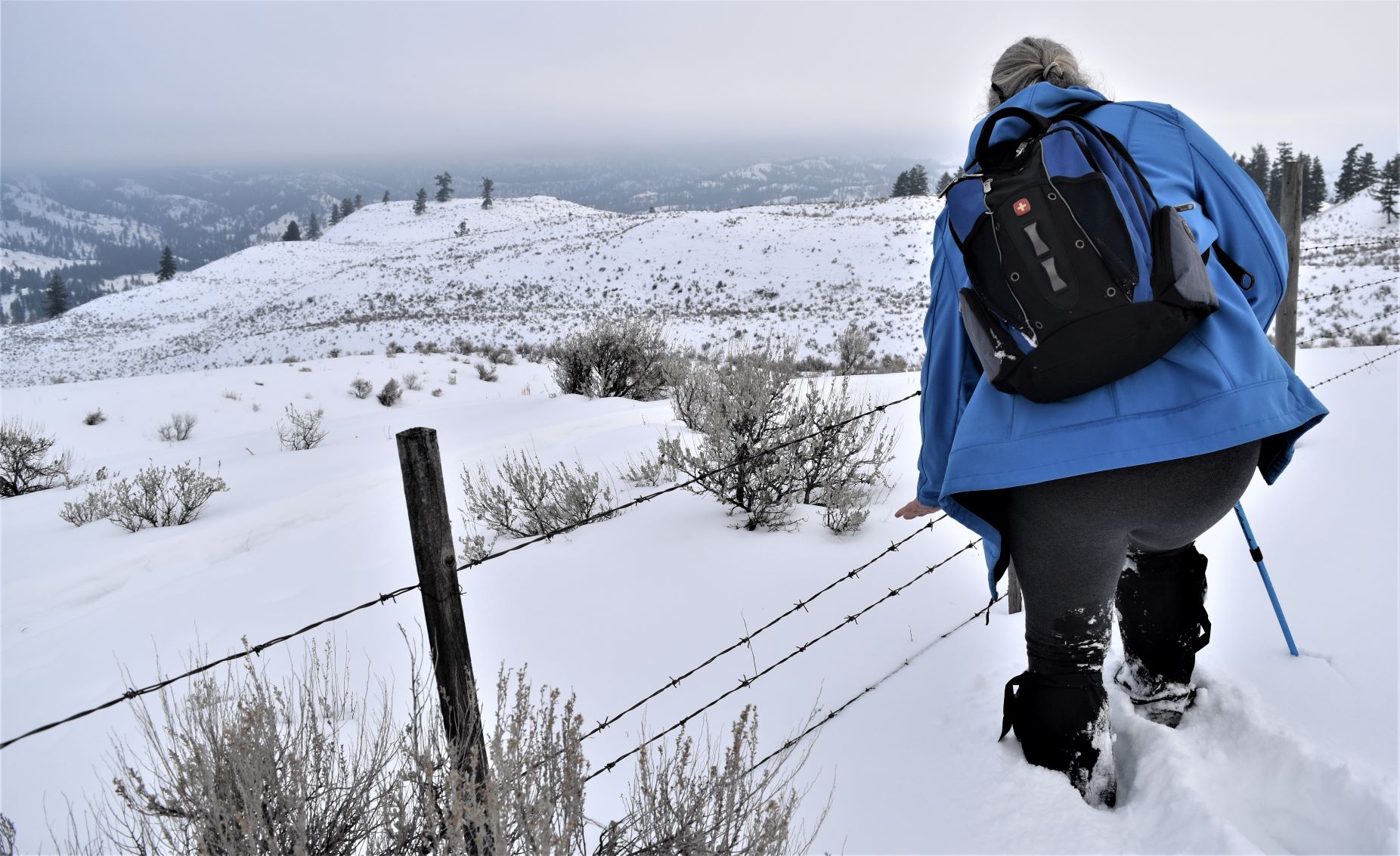
They did not seem particularly fazed by us as we quietly crept by , trying not to disturb them. ( in the last frame there you can see the little one jump the fence..!!)

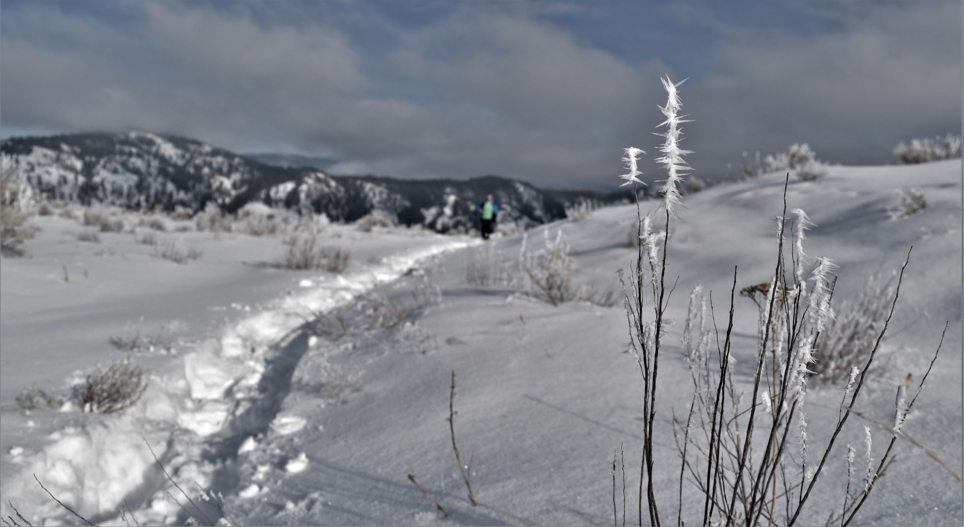
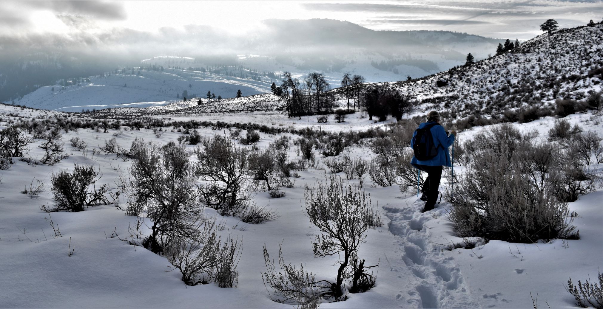
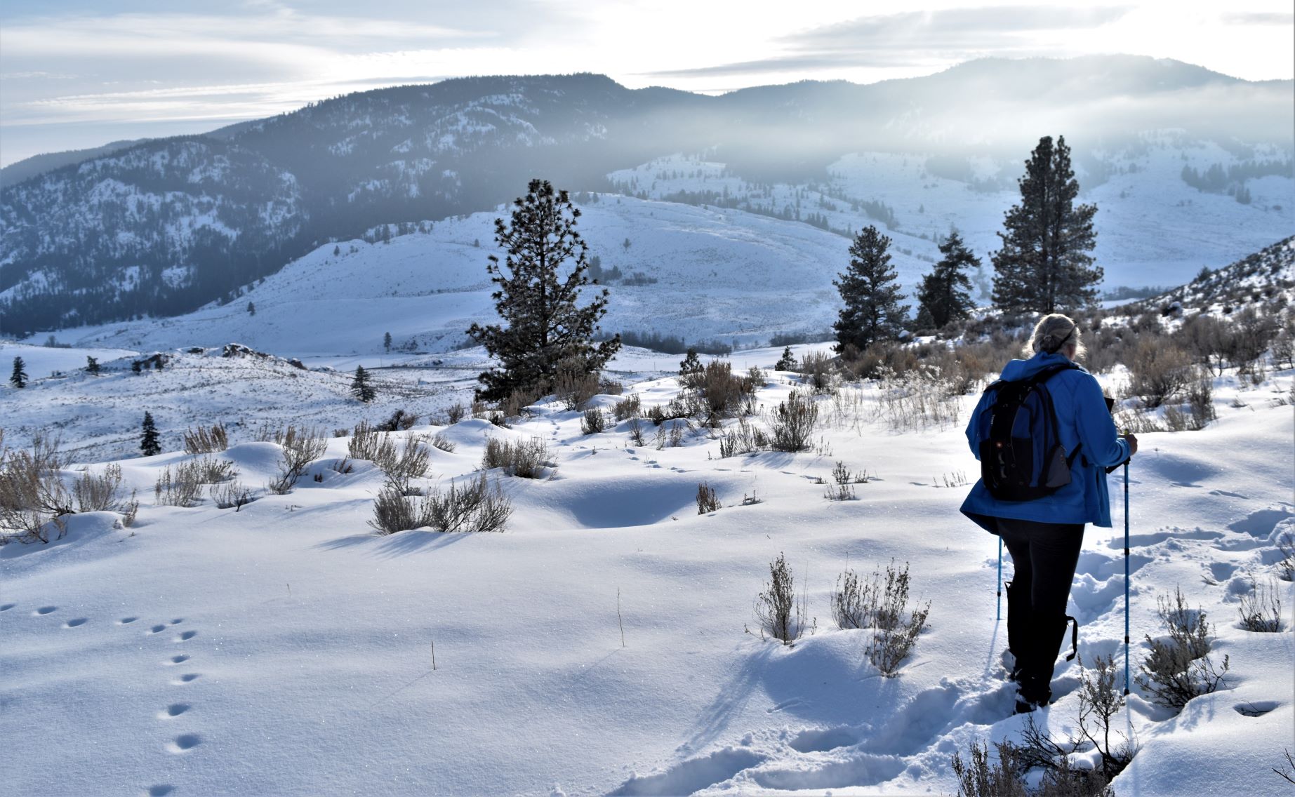
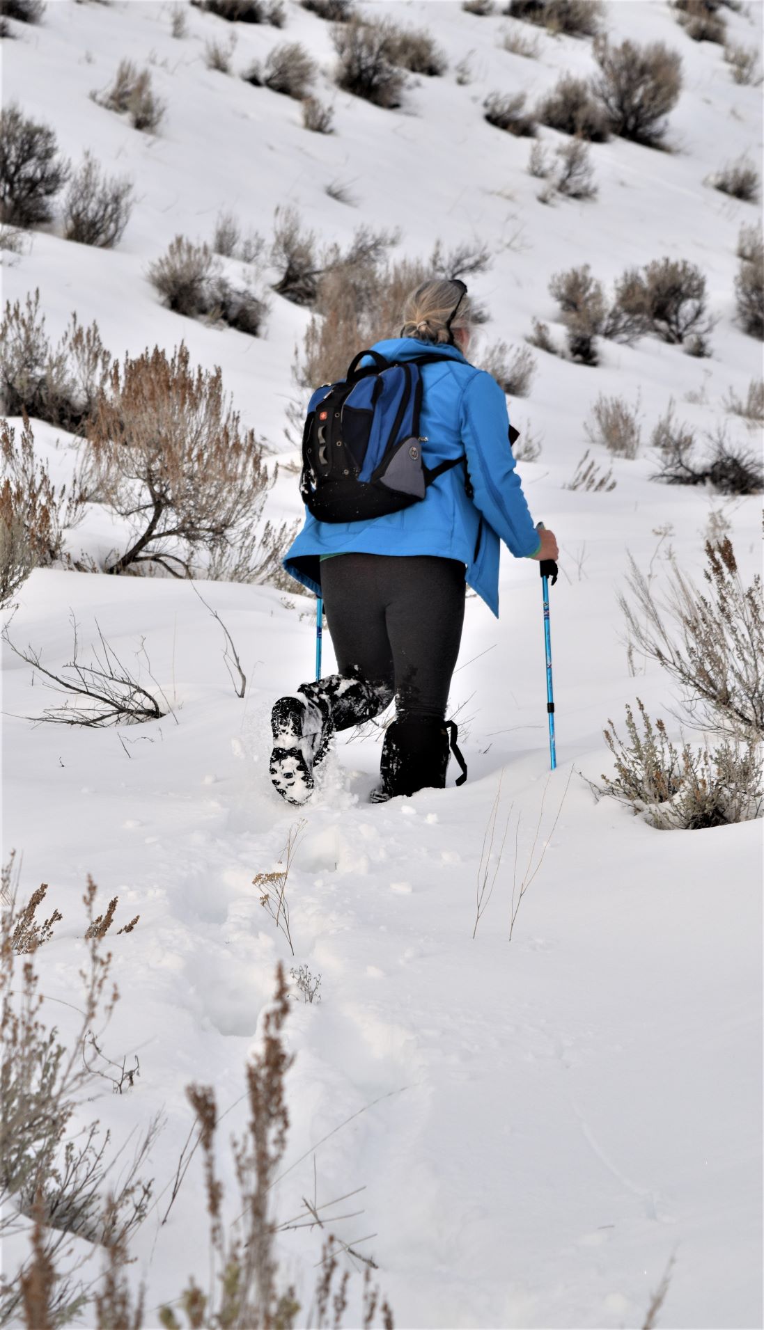
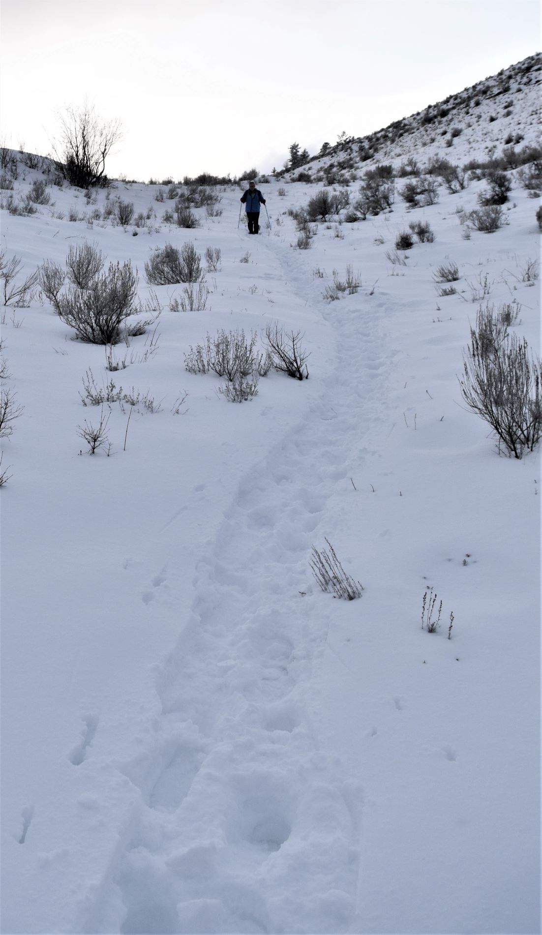
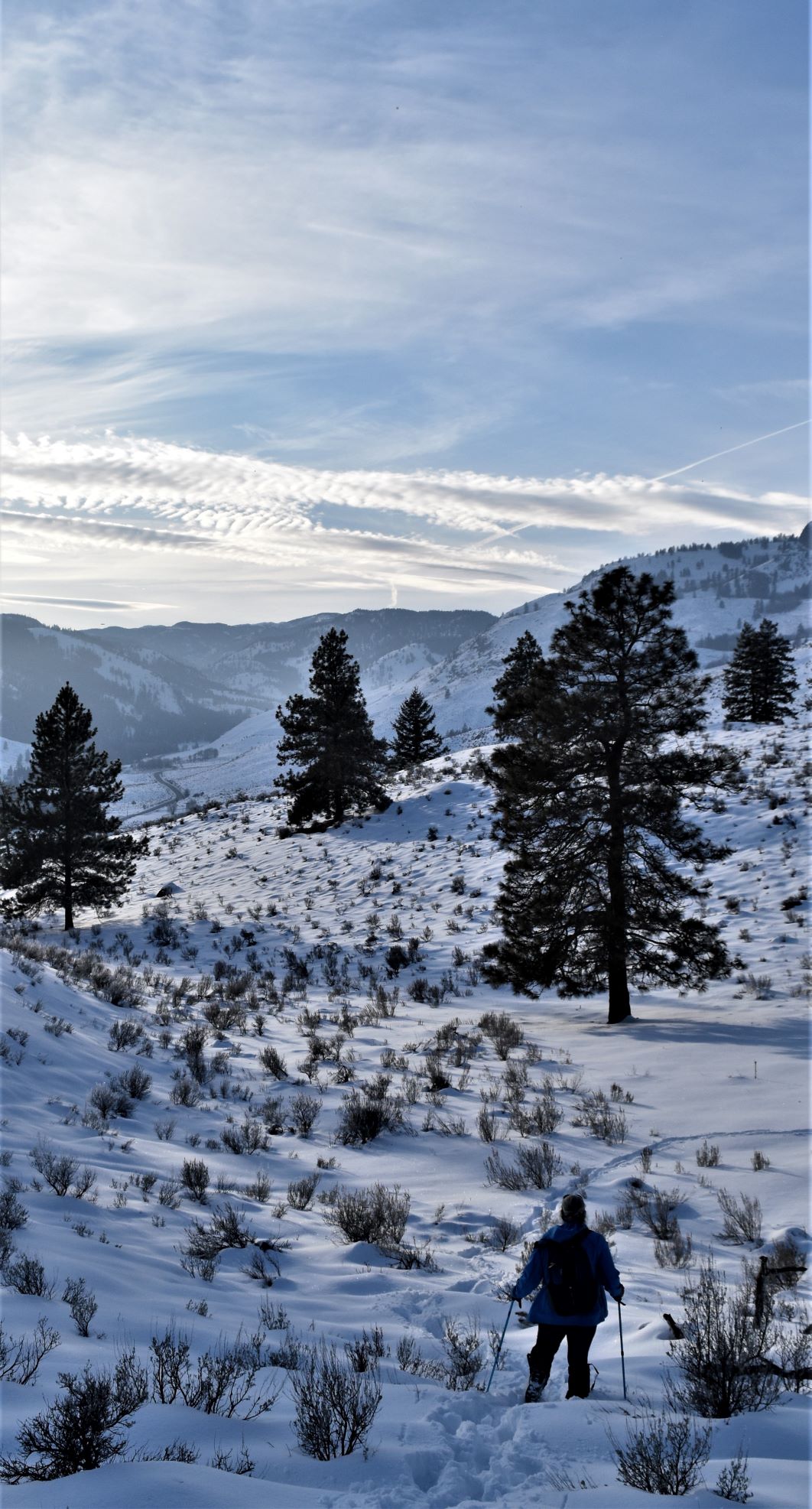
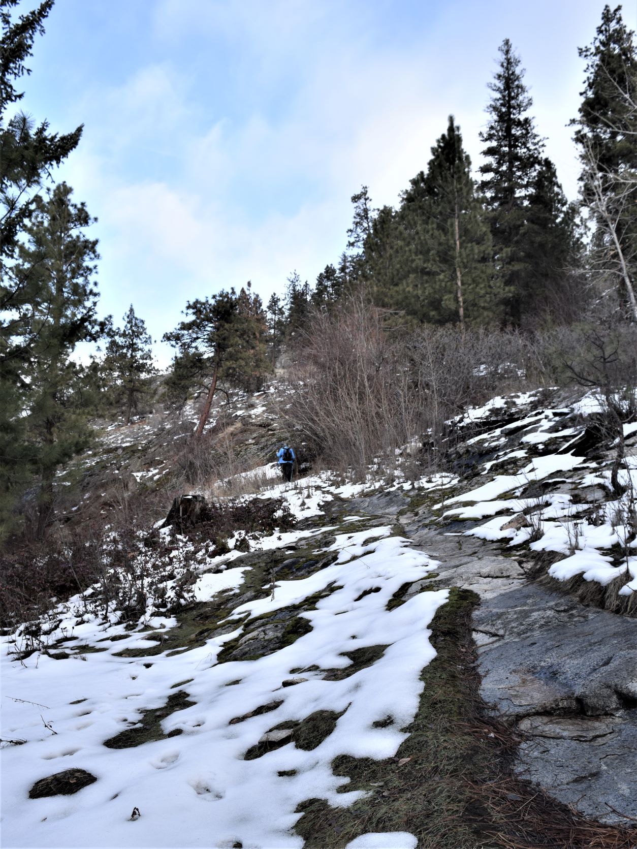
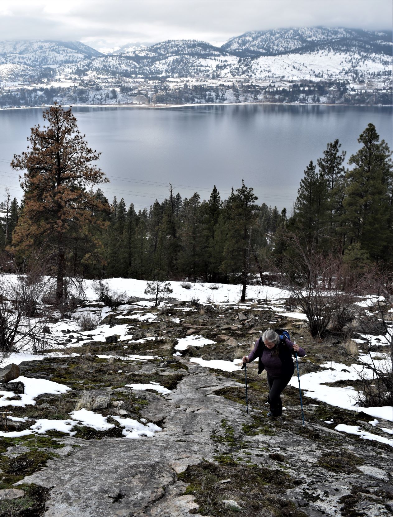
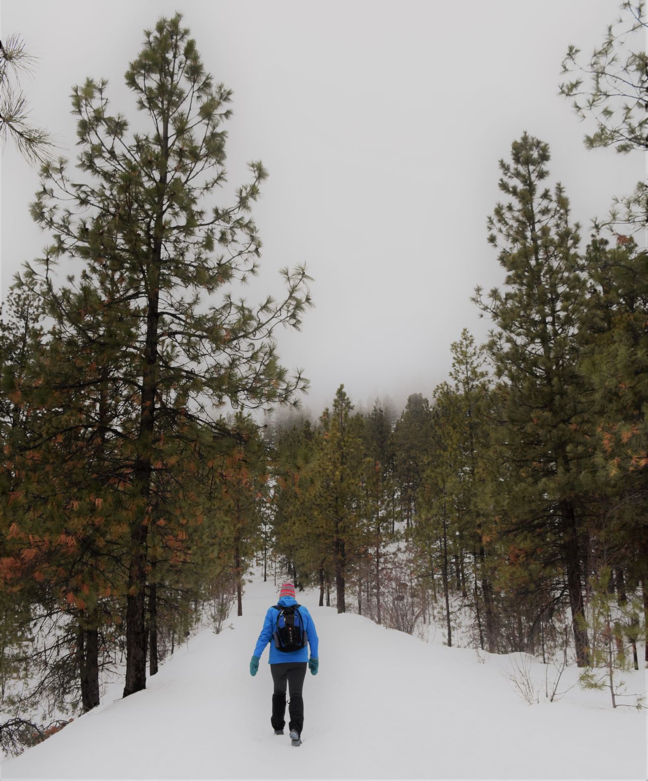
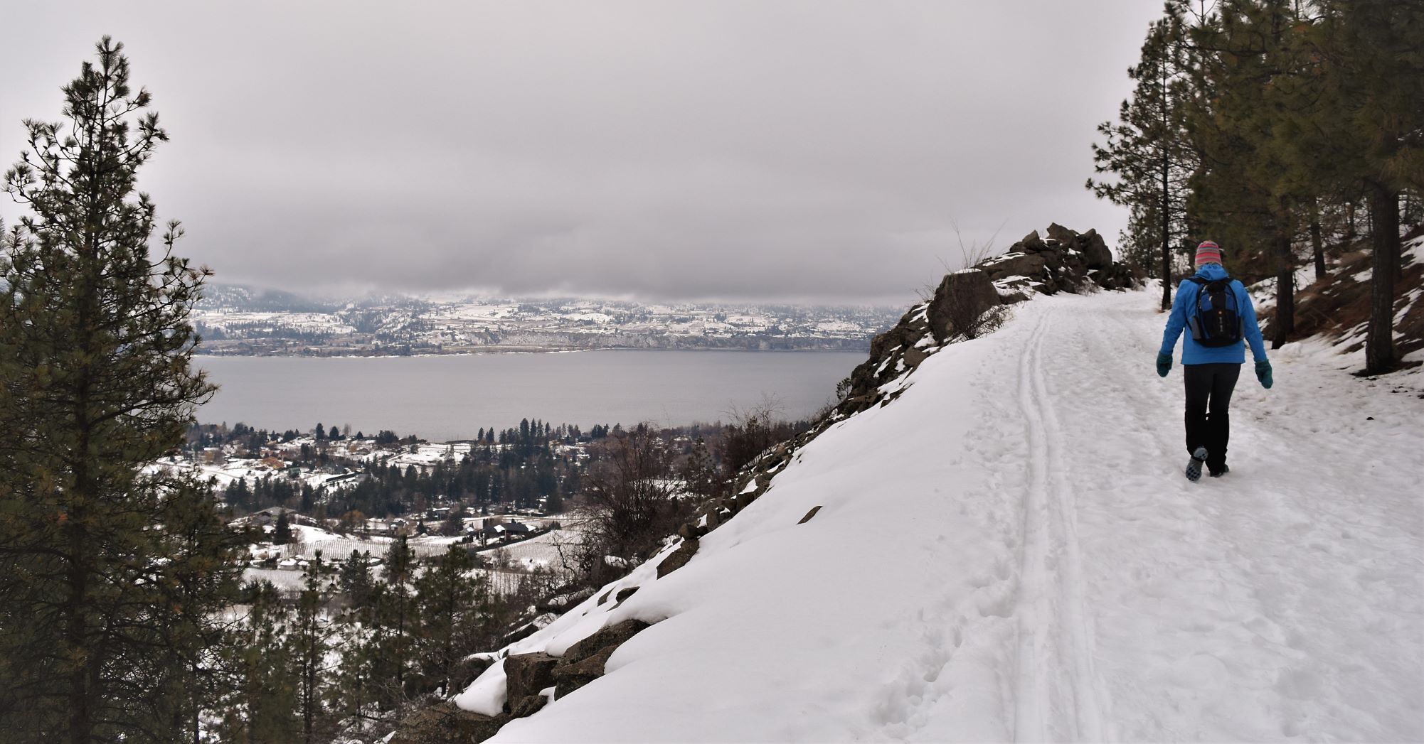
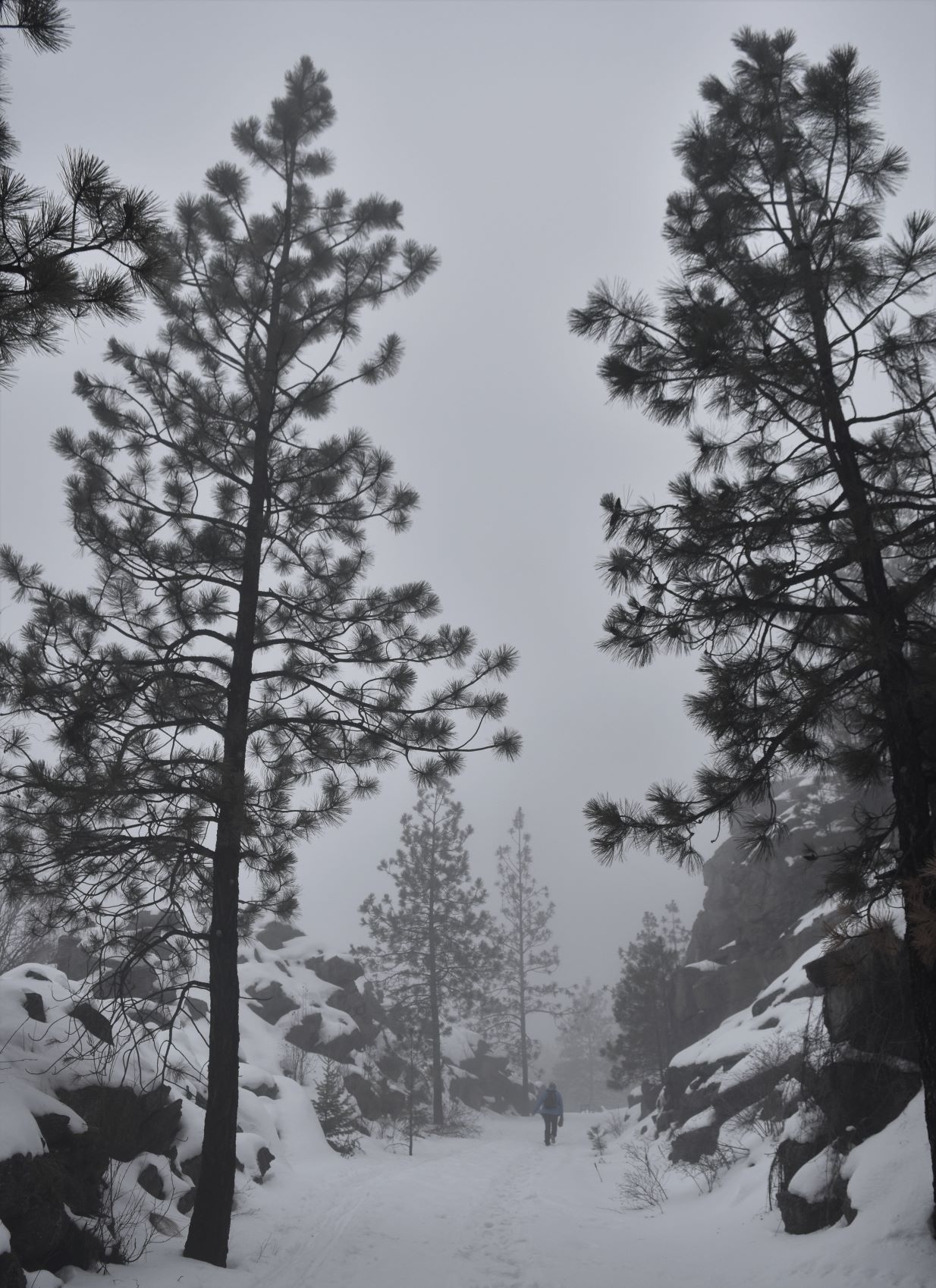
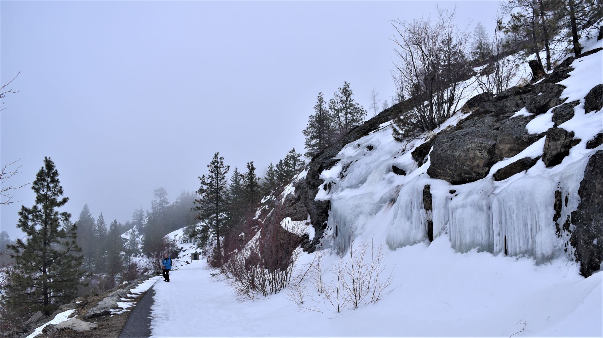
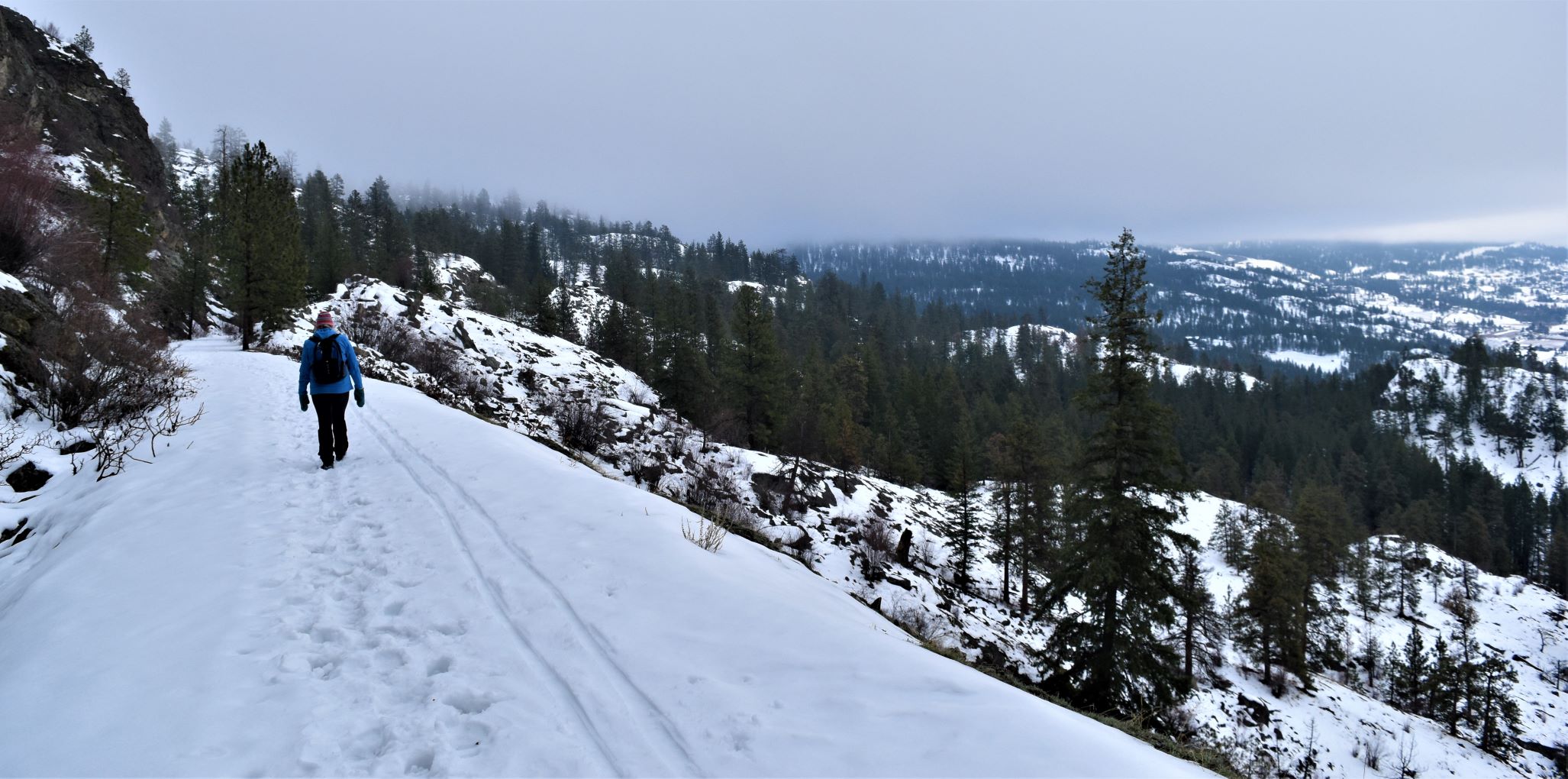
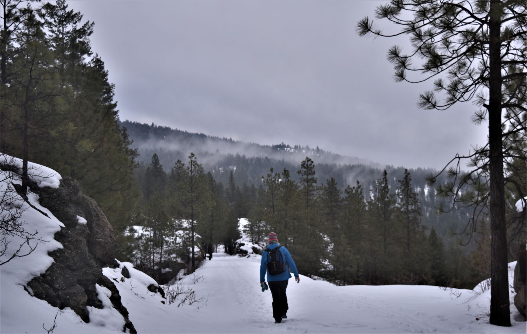
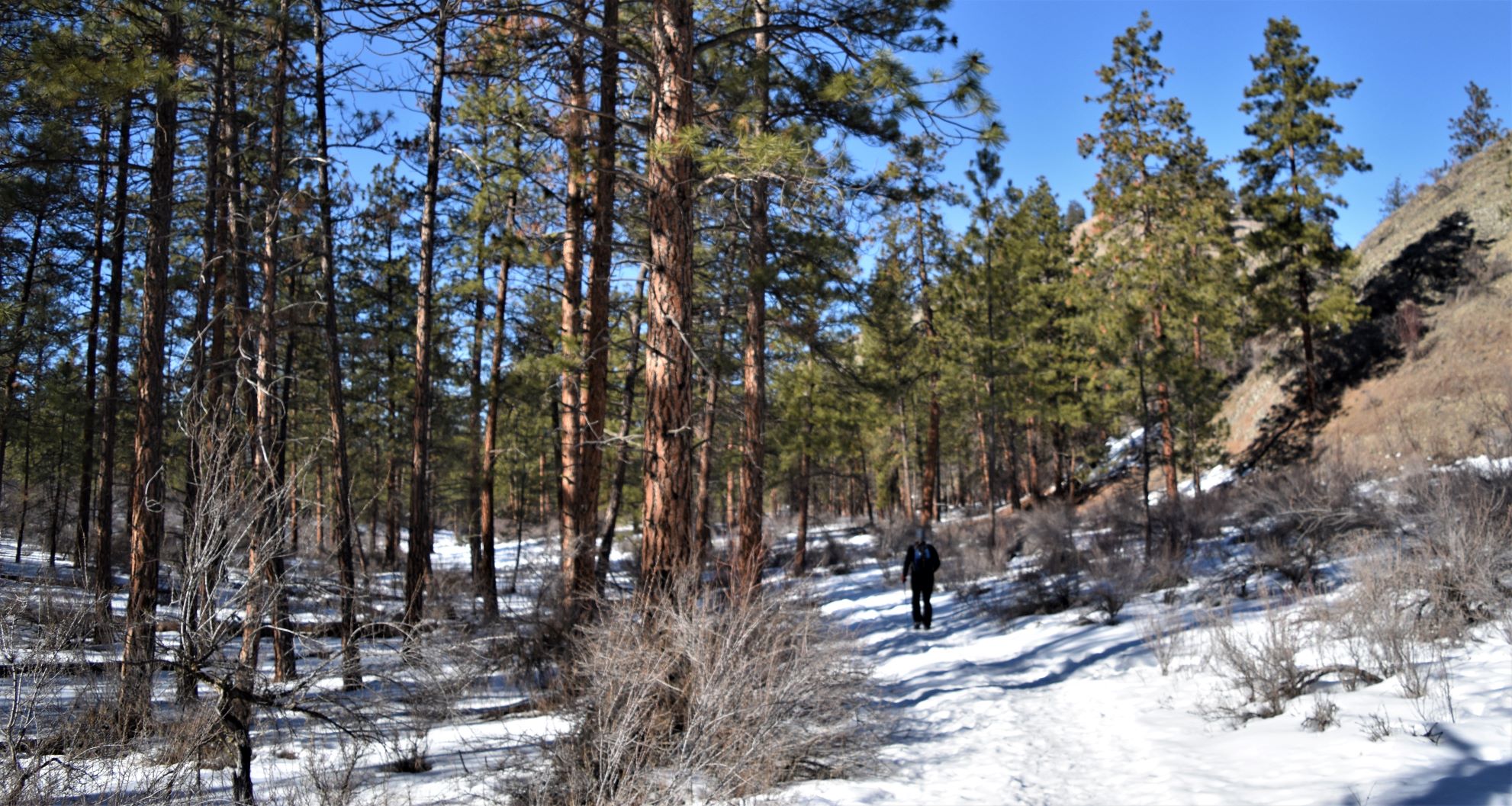
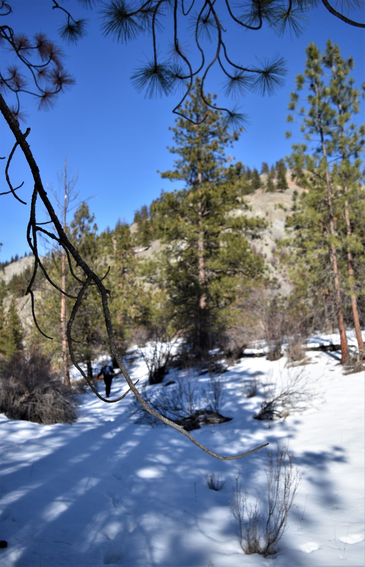
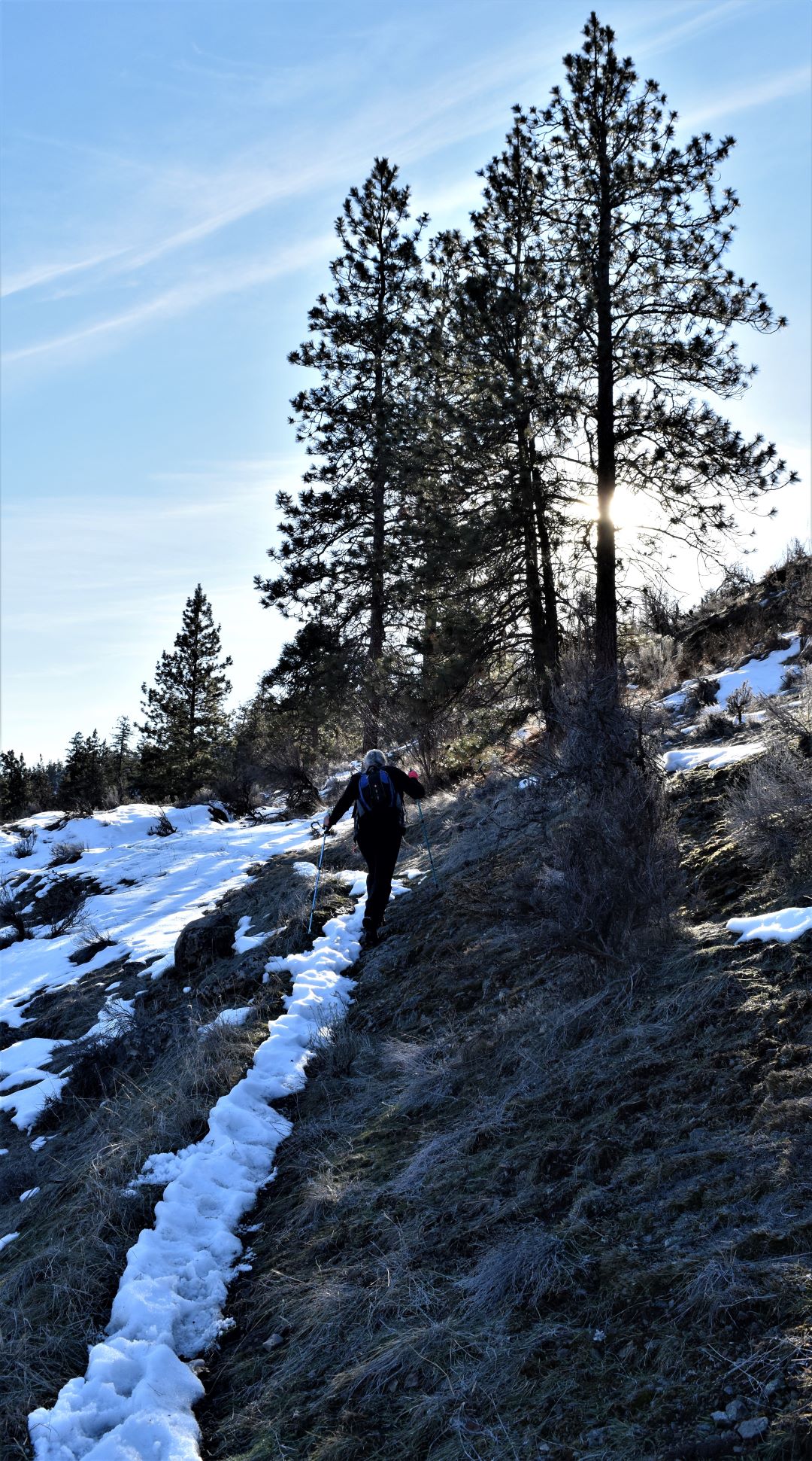
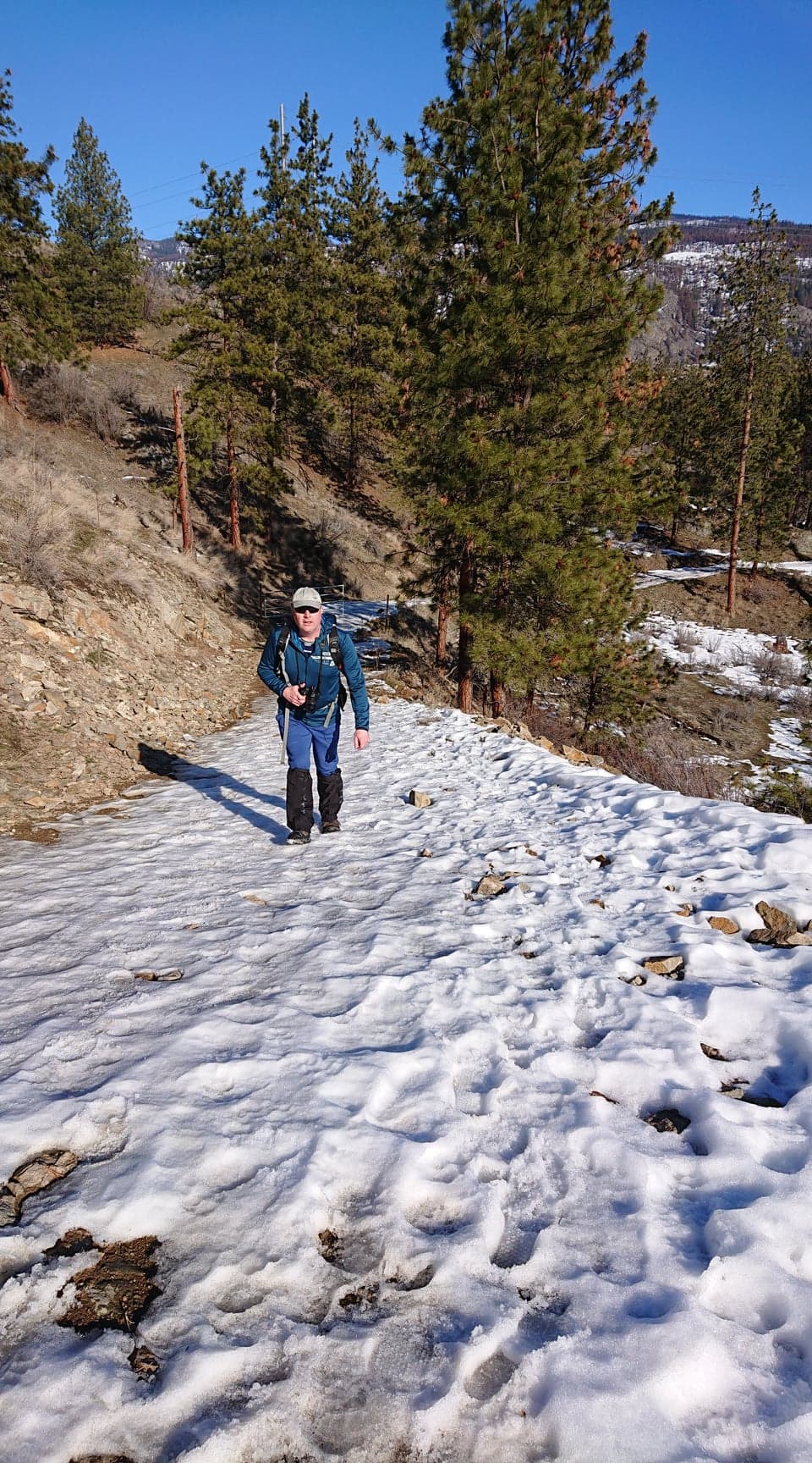
Safely by them we headed on up through the pass. By this time it was warming up so the layers were peeled off and stowed. The snow was becoming icier as this is clearly a well travelled path……so much easier underfoot than the last couple of hikes have been

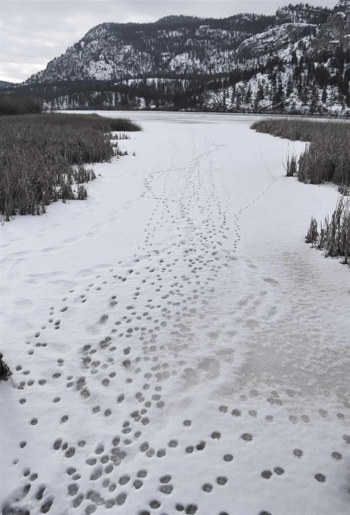
Further up the pass we met mostly eaten deer carcass on the side of the trail (bleuch…!!!). There were lots of tracks around, but it was hard to tell what they had been made by.

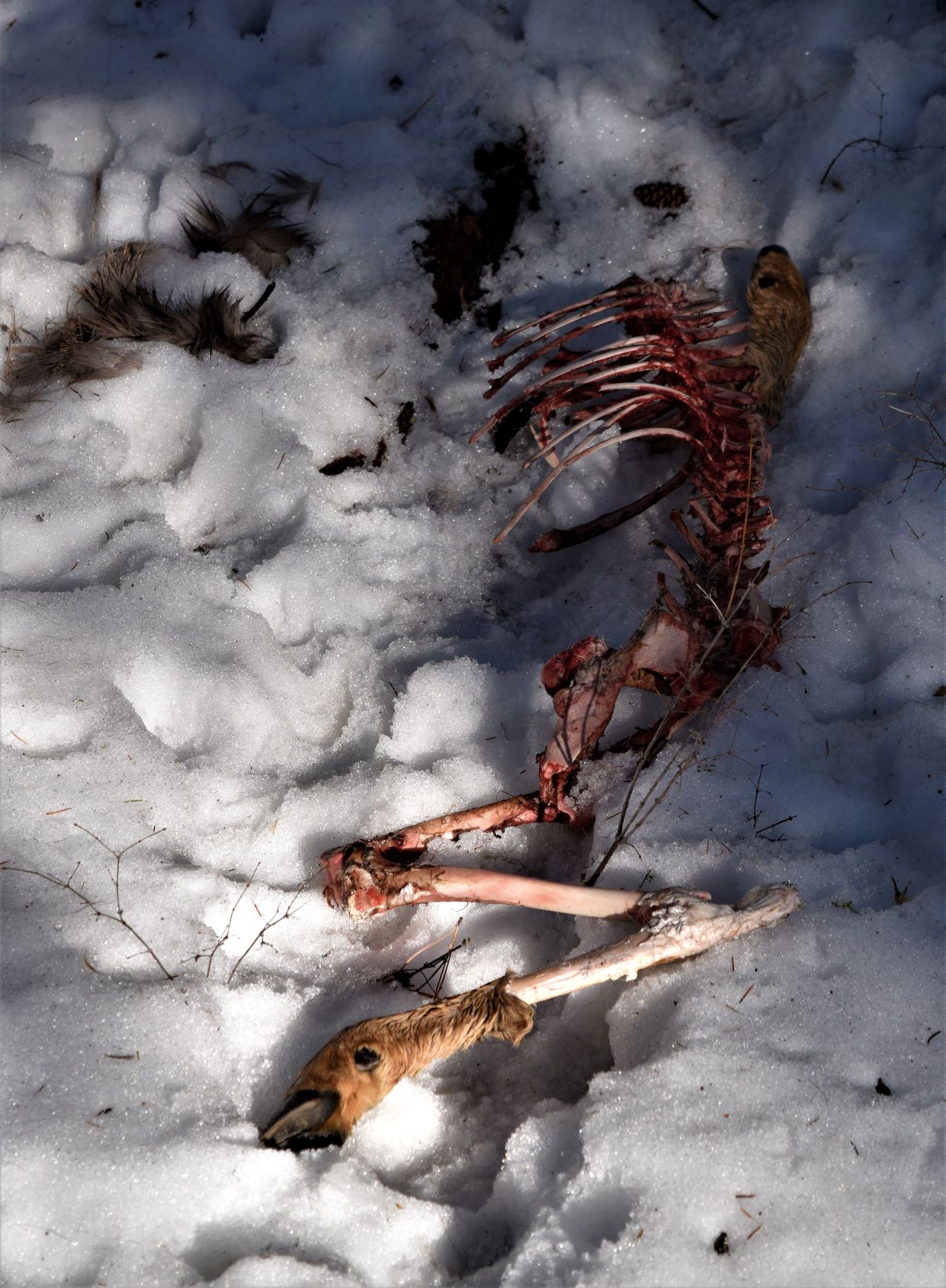
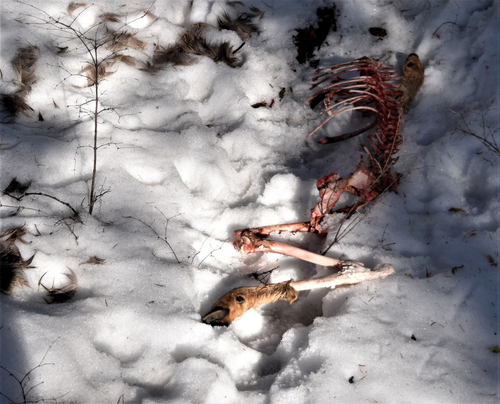
A little further down we met a lady with a dog who told us she lives locally…and frequently sees bears on that mountain. She was fairly sure the deer was a mountain lion kill, not bear. ( well now…thats re-assuring..!!)

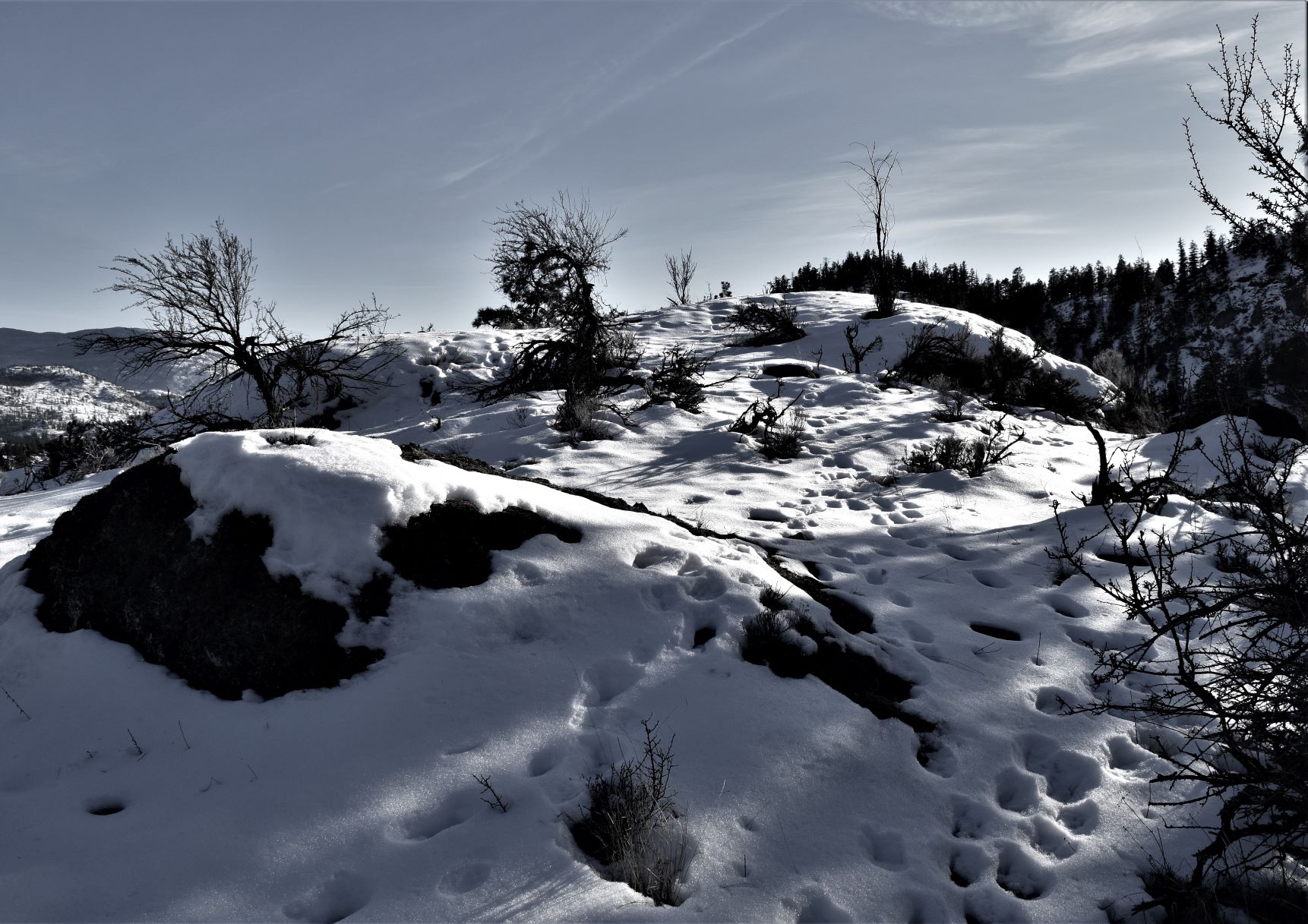
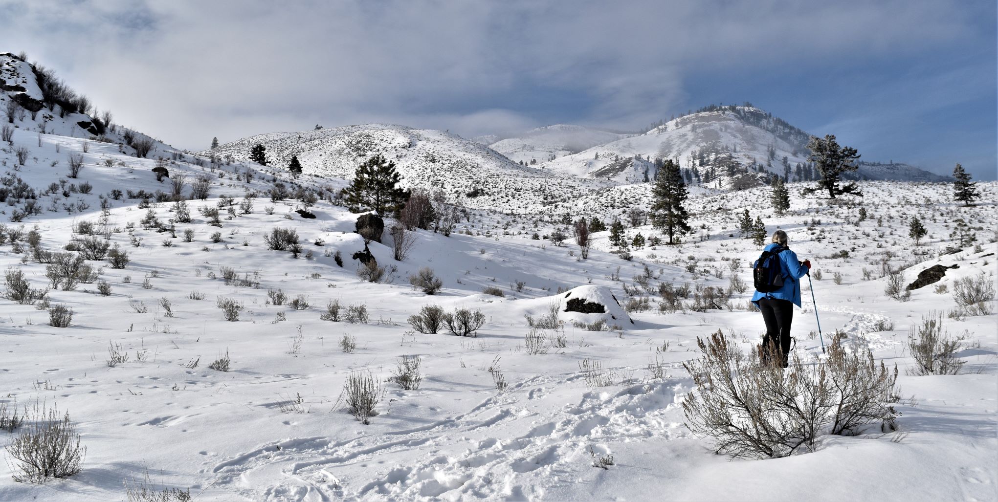
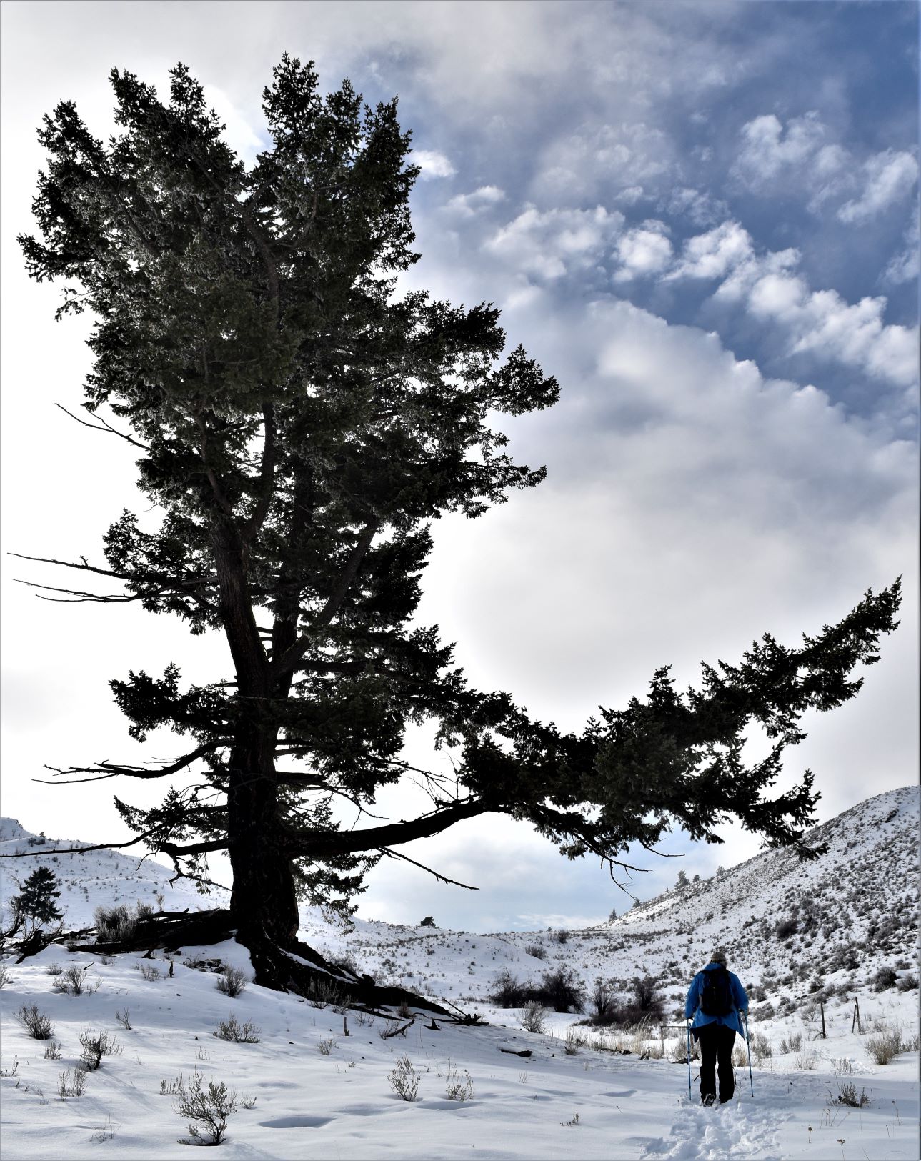
It’s quite definitely bear territory when you look at the landscape around……did I mention the lady we met was carrying her bear spray in her hand…!!!

We did see more bear tracks further down the trail. It’s an interesting situation where you kinda want to see them….but you kinda don’t..!!!(sorry the pix of the prints did not come out very clearly)

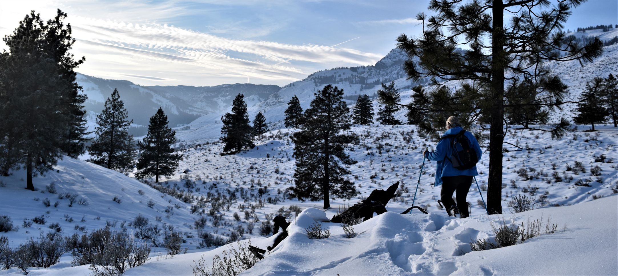
It was a much easier walk than the last couple have been. The snow was probably not as deep to start with, but also trampled quite a bit more and frozen a bit more to make the path just a tad easier to walk on.

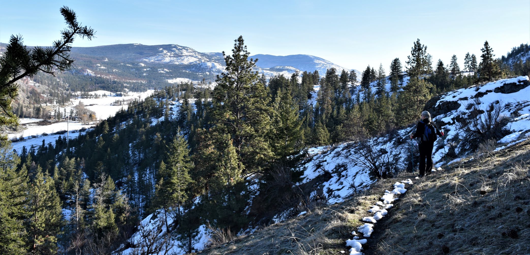
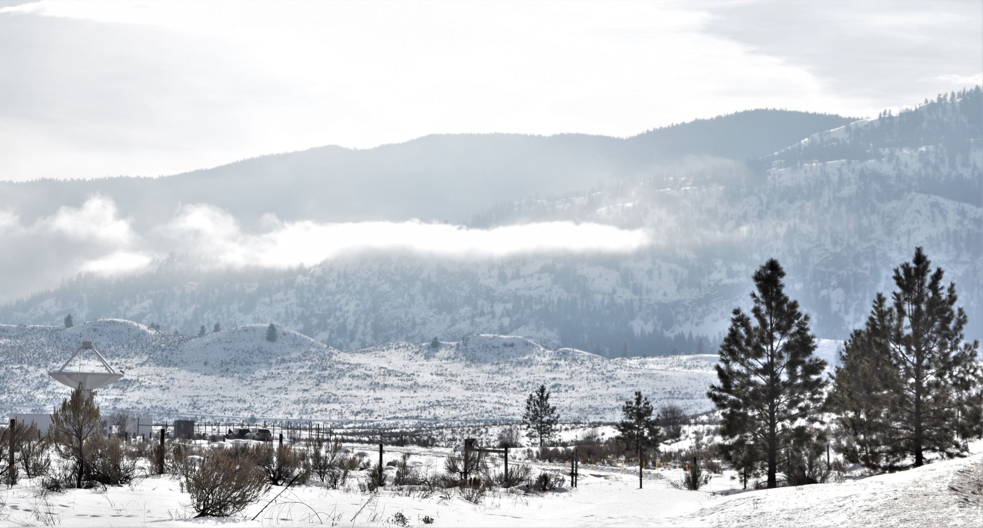
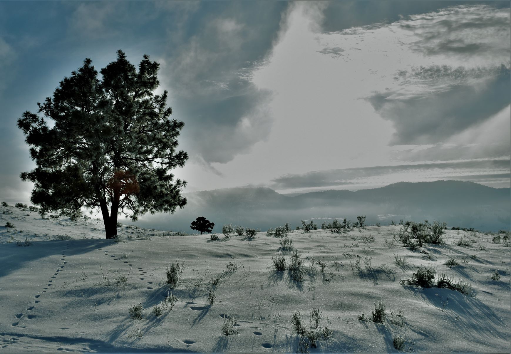
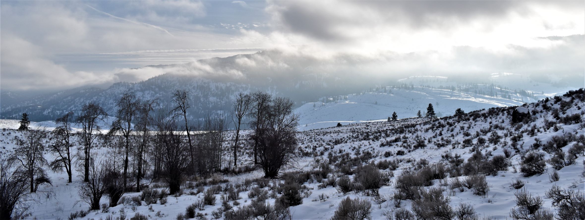
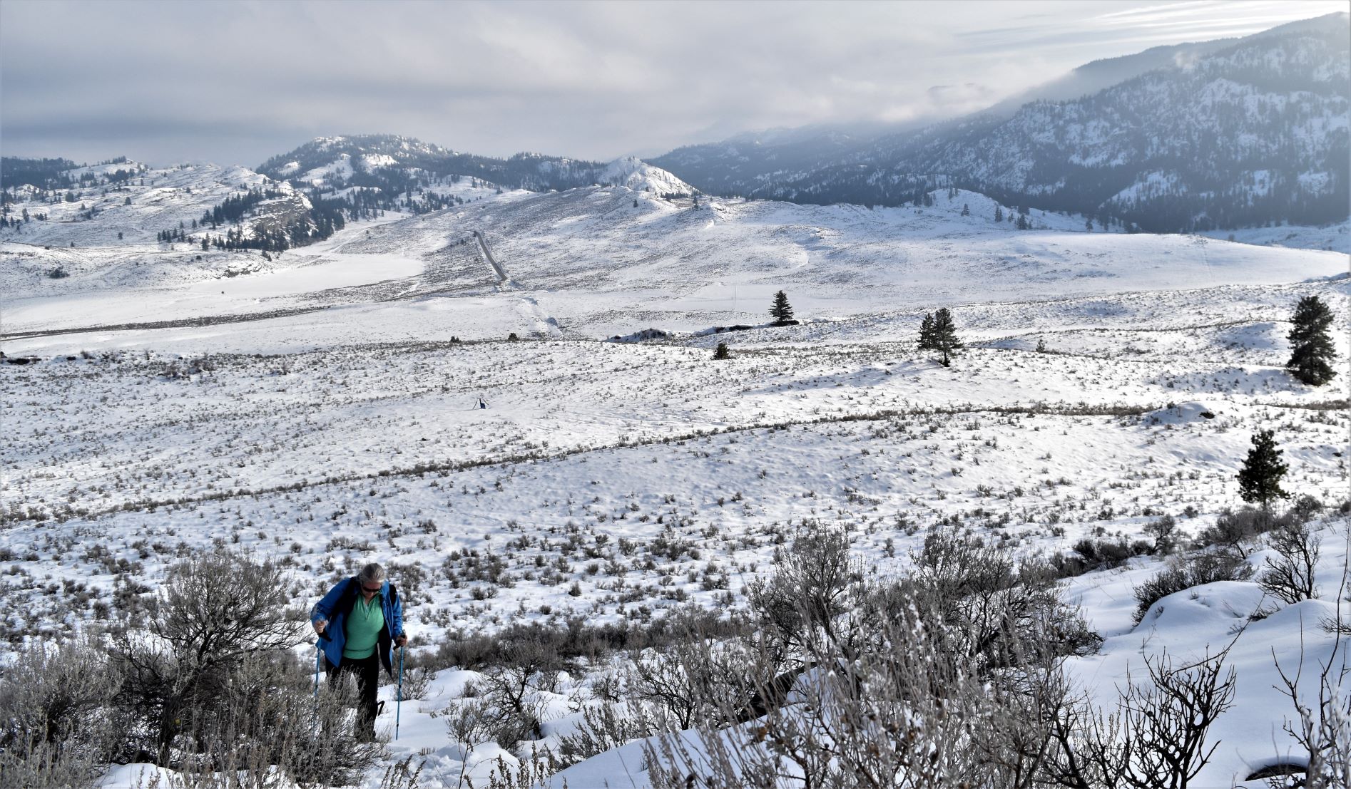
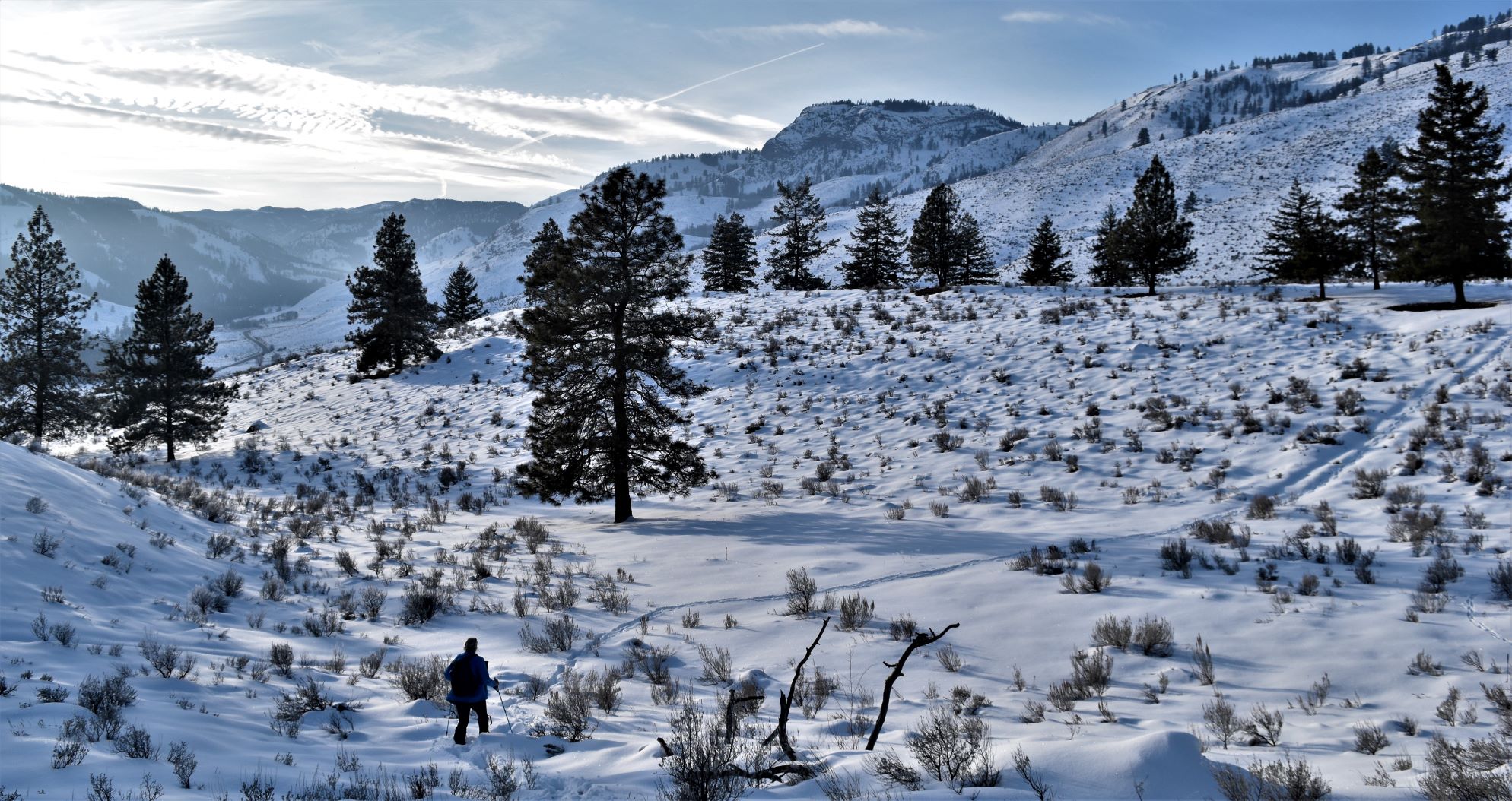
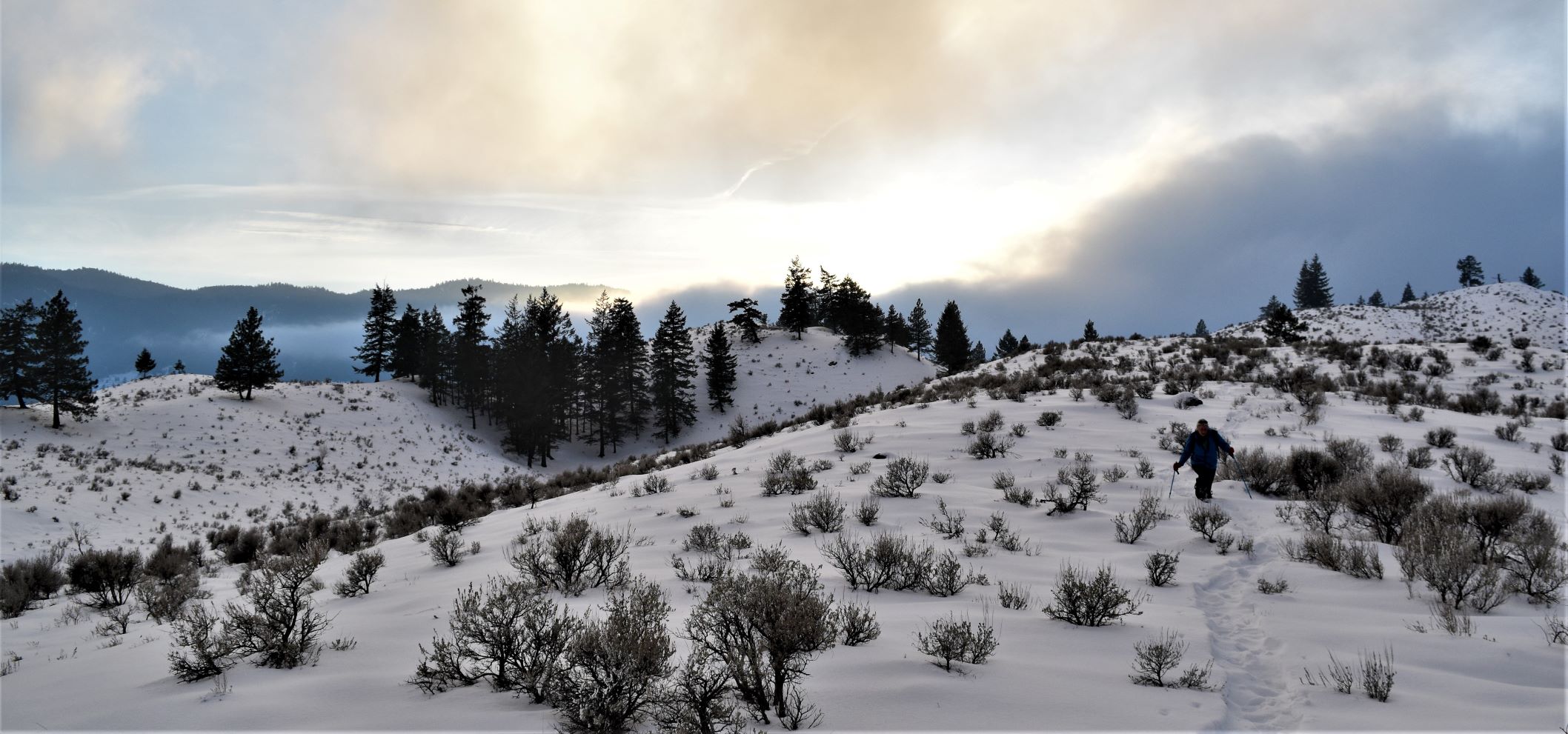
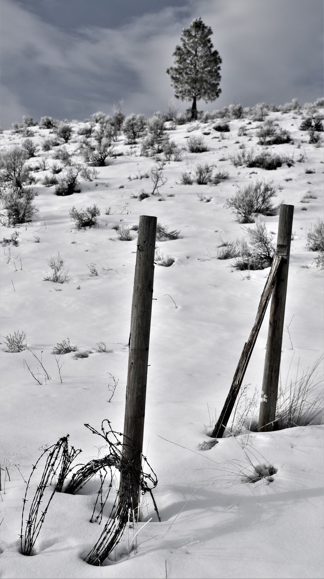
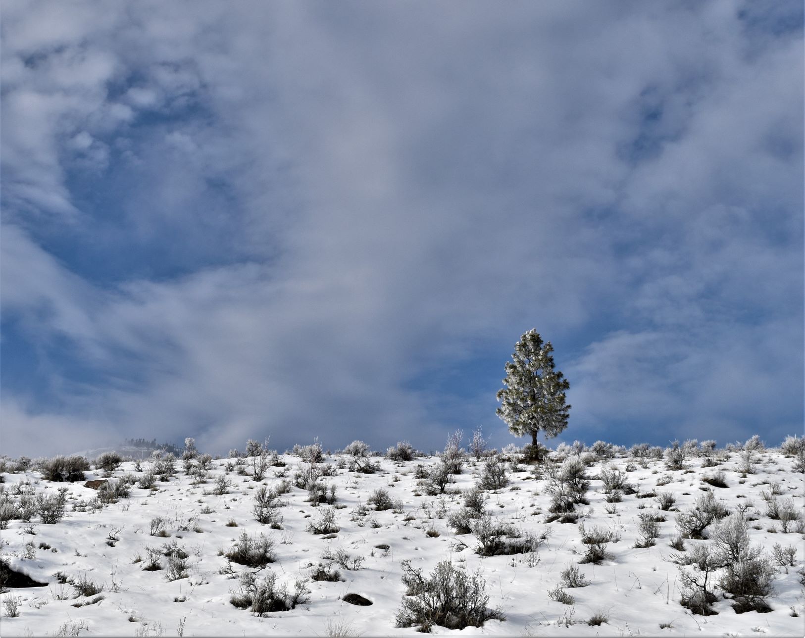
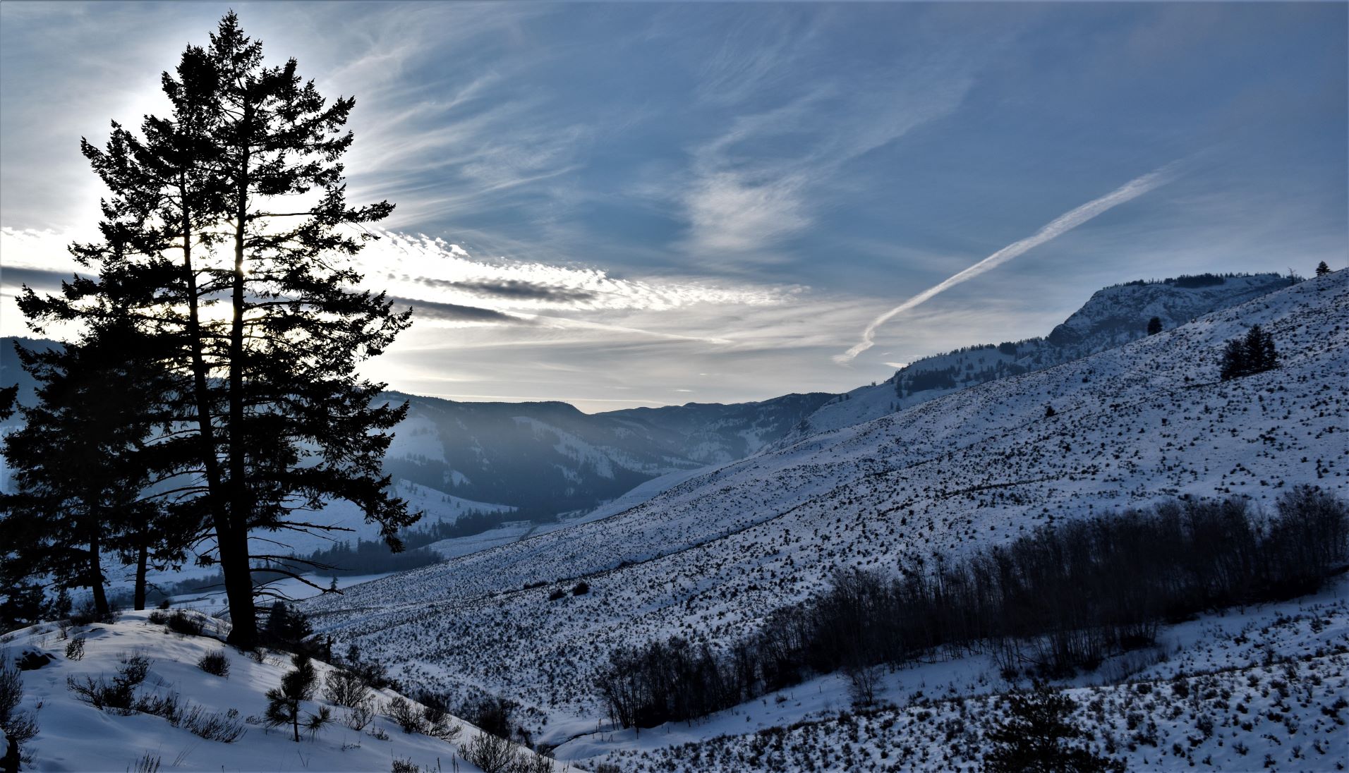
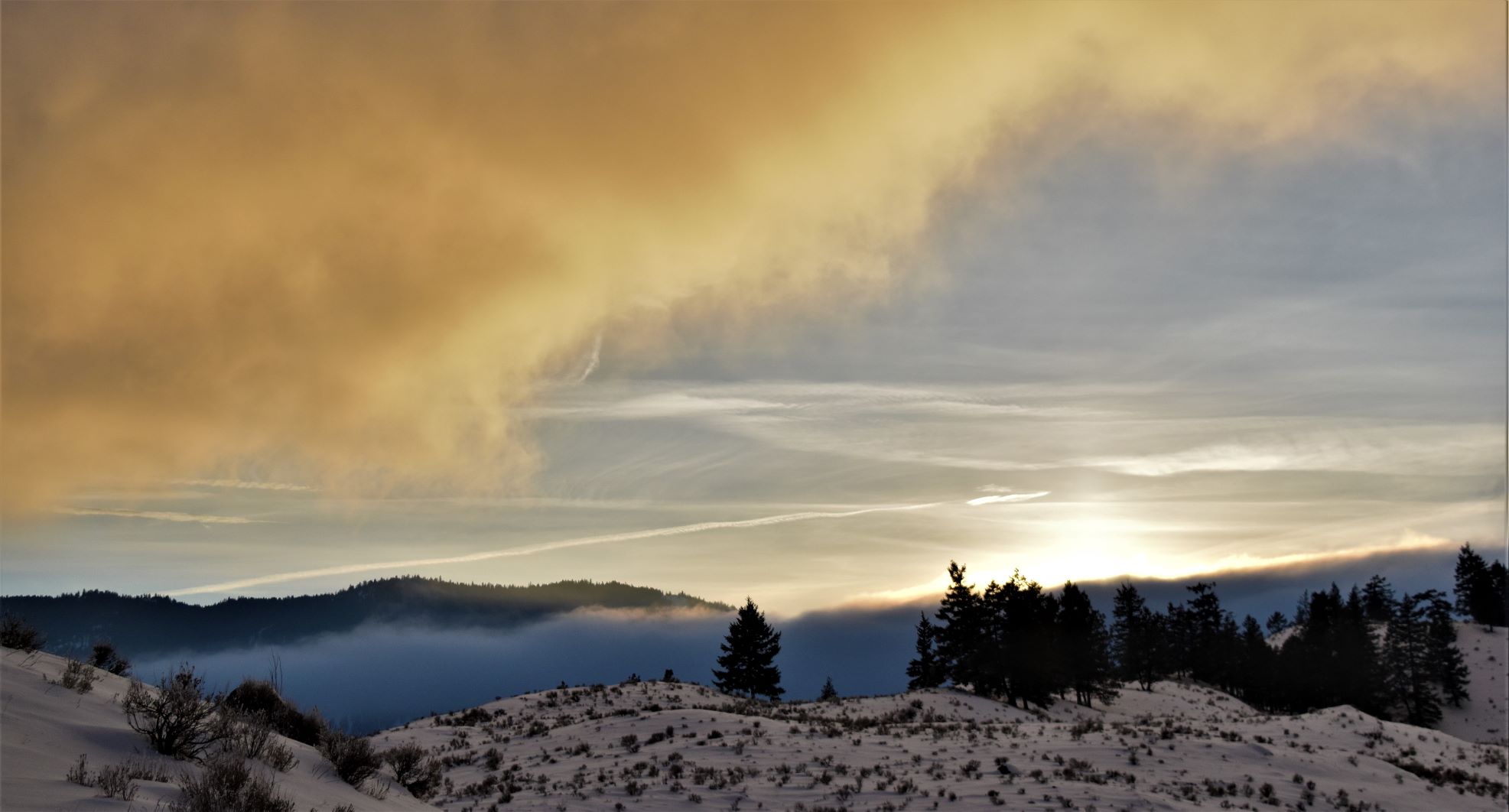
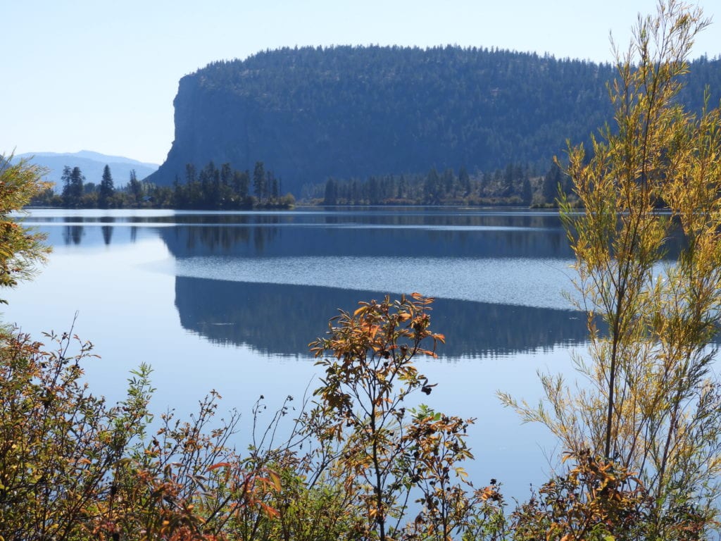
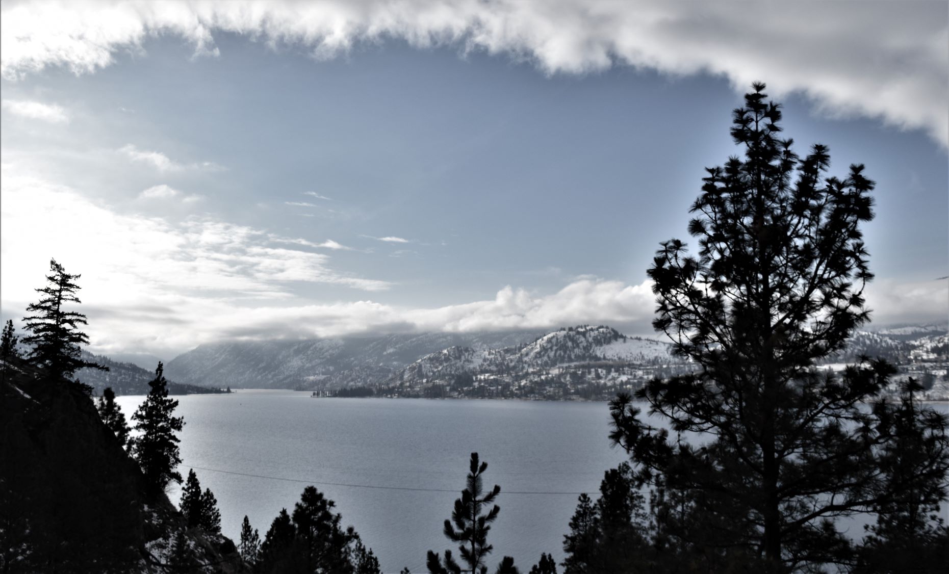
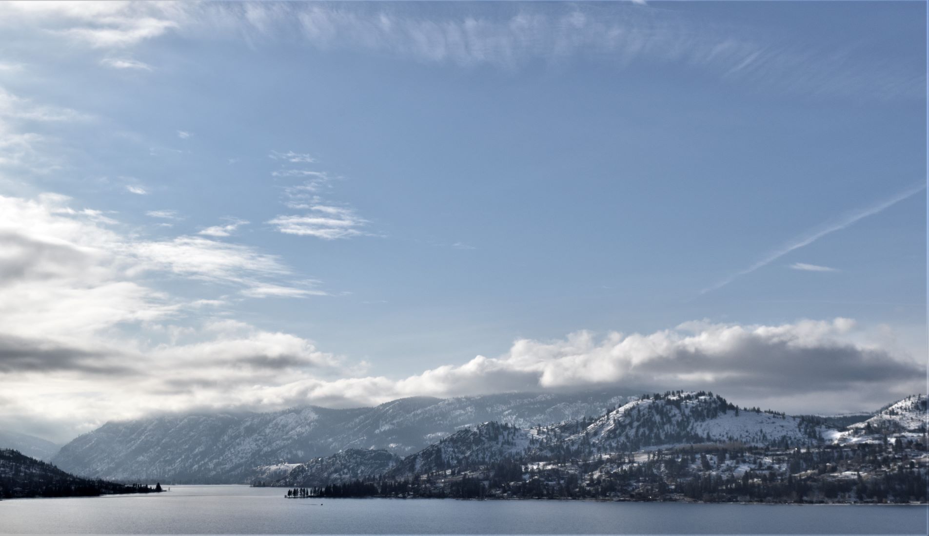
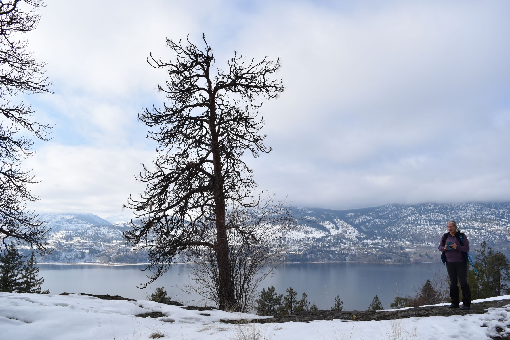
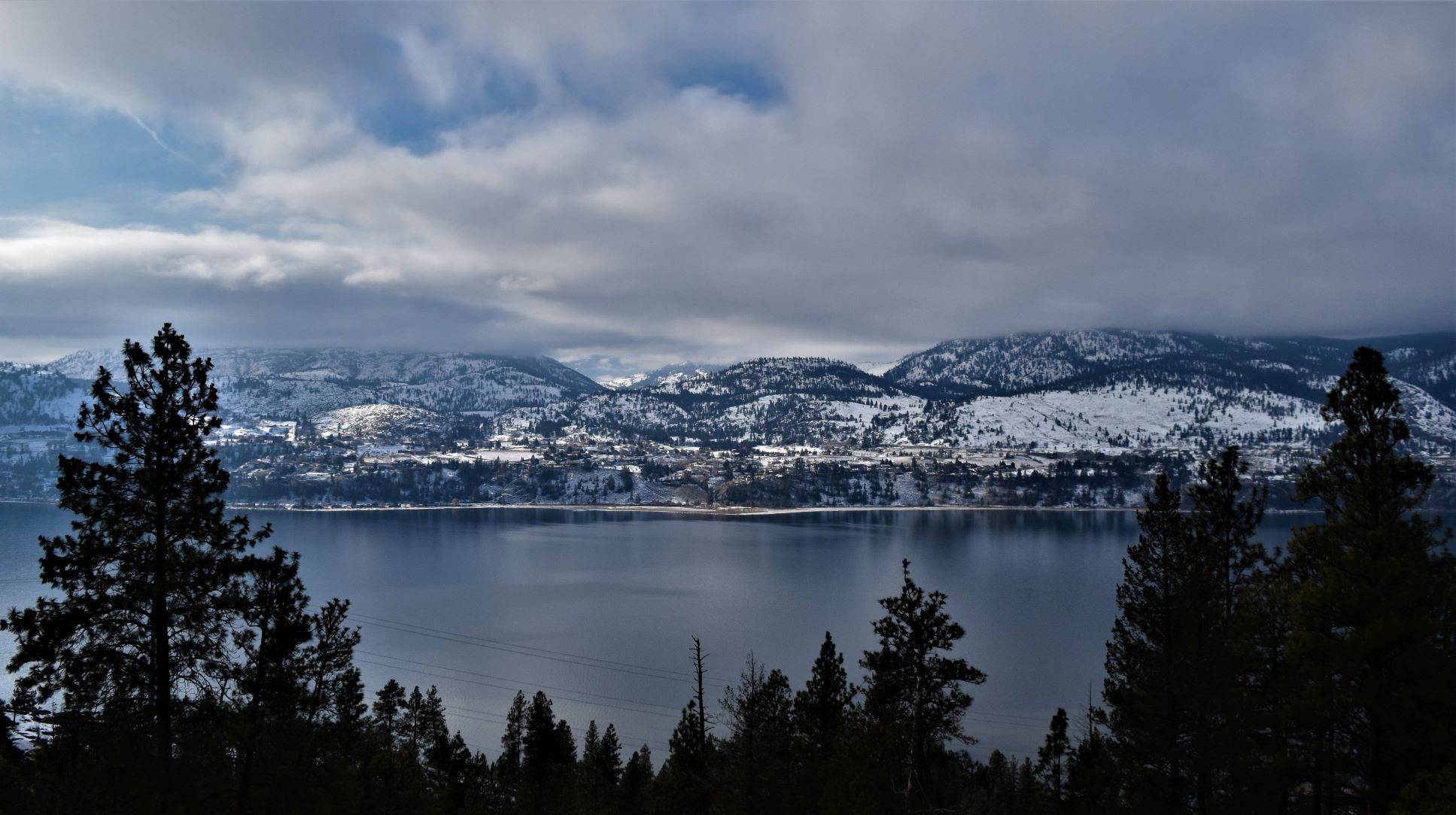
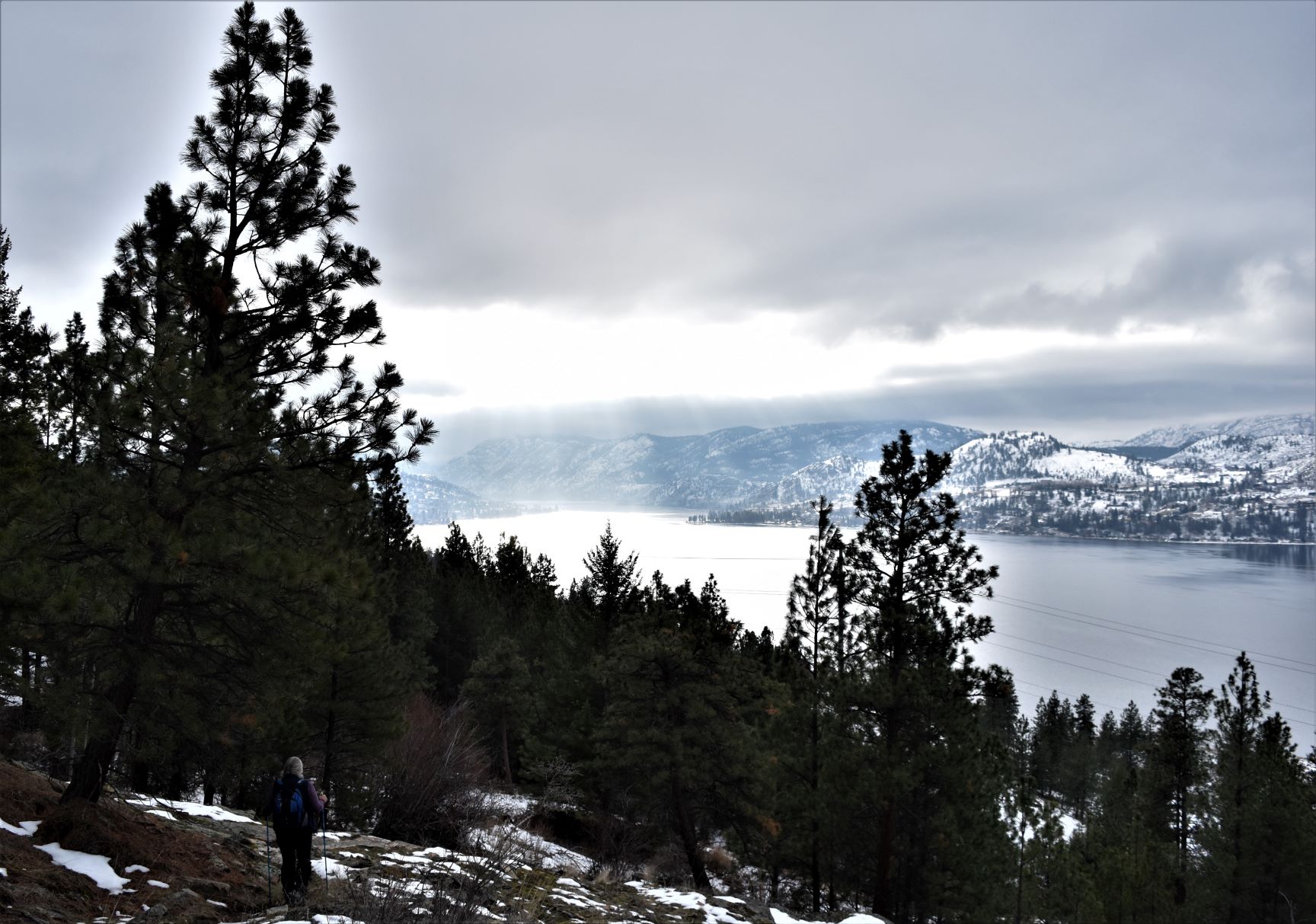
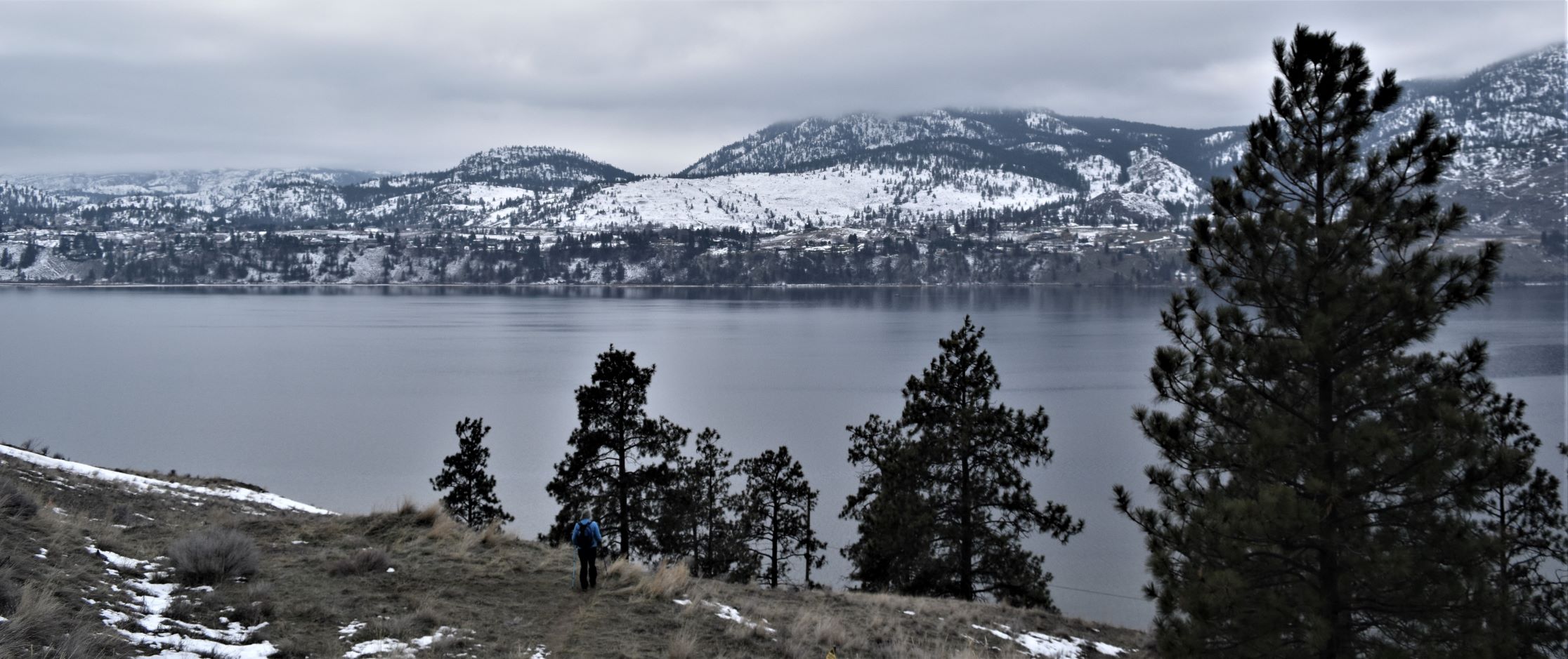
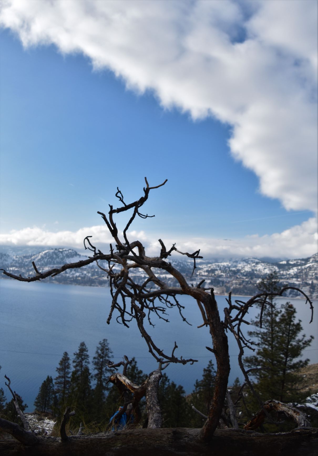
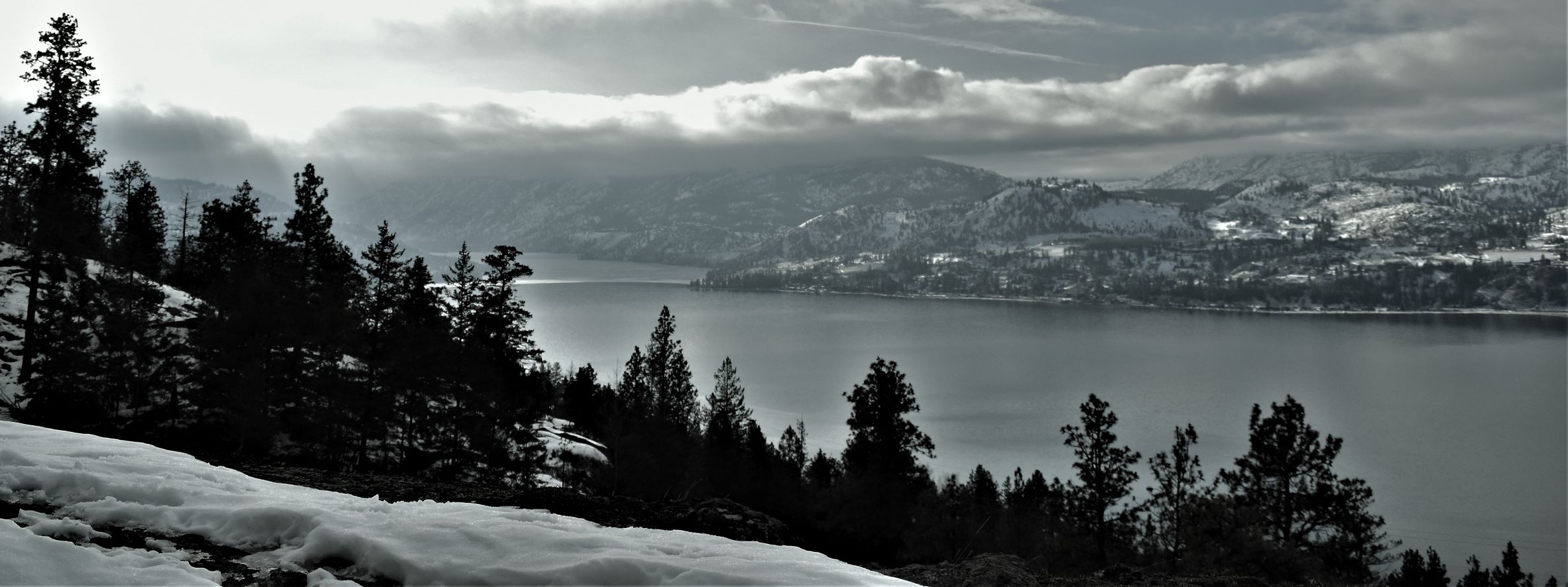
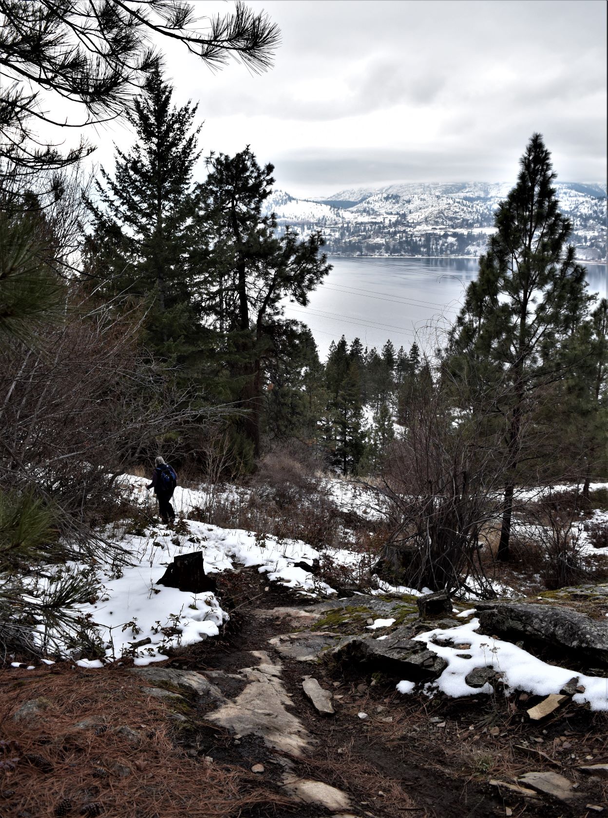
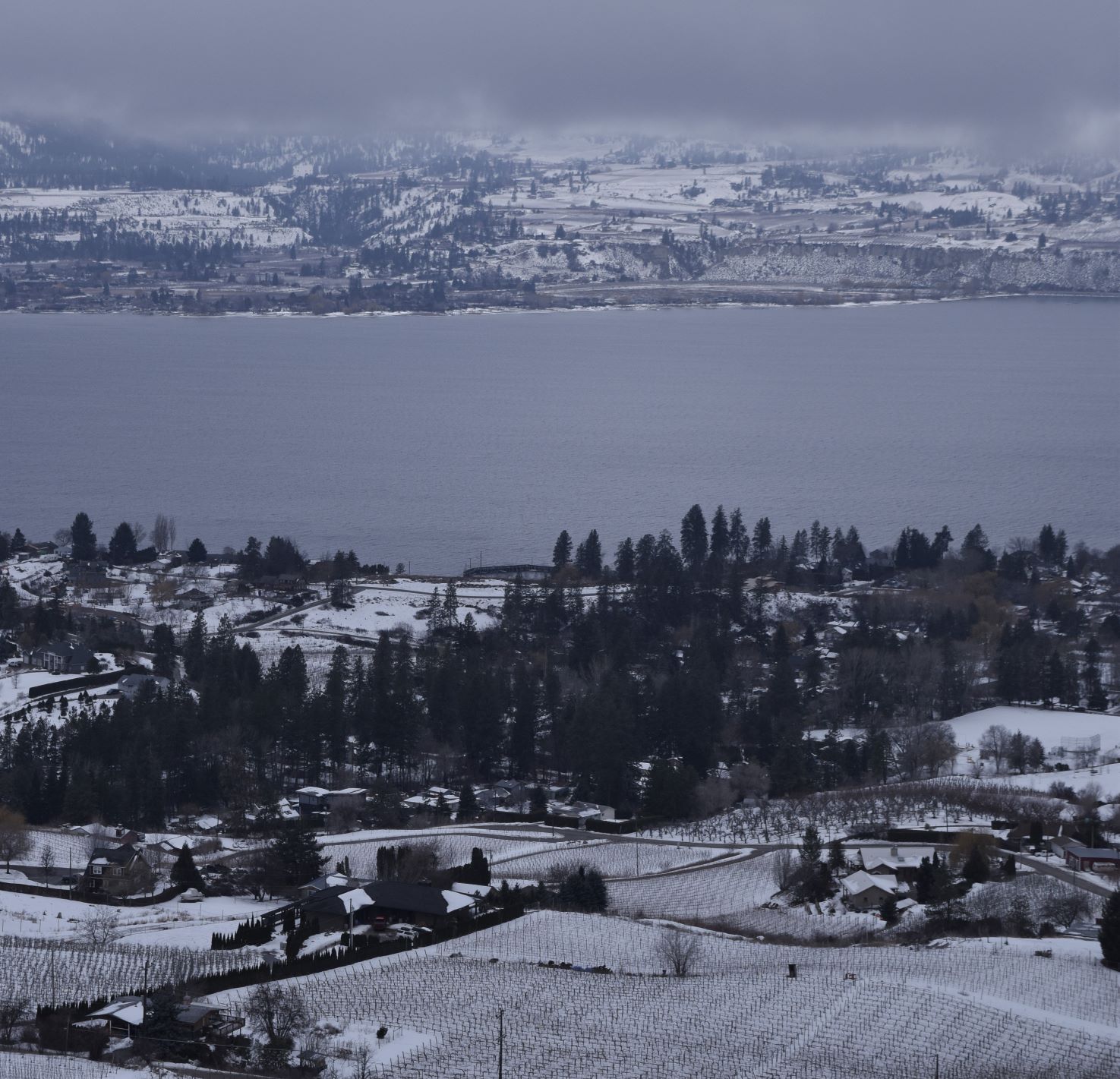
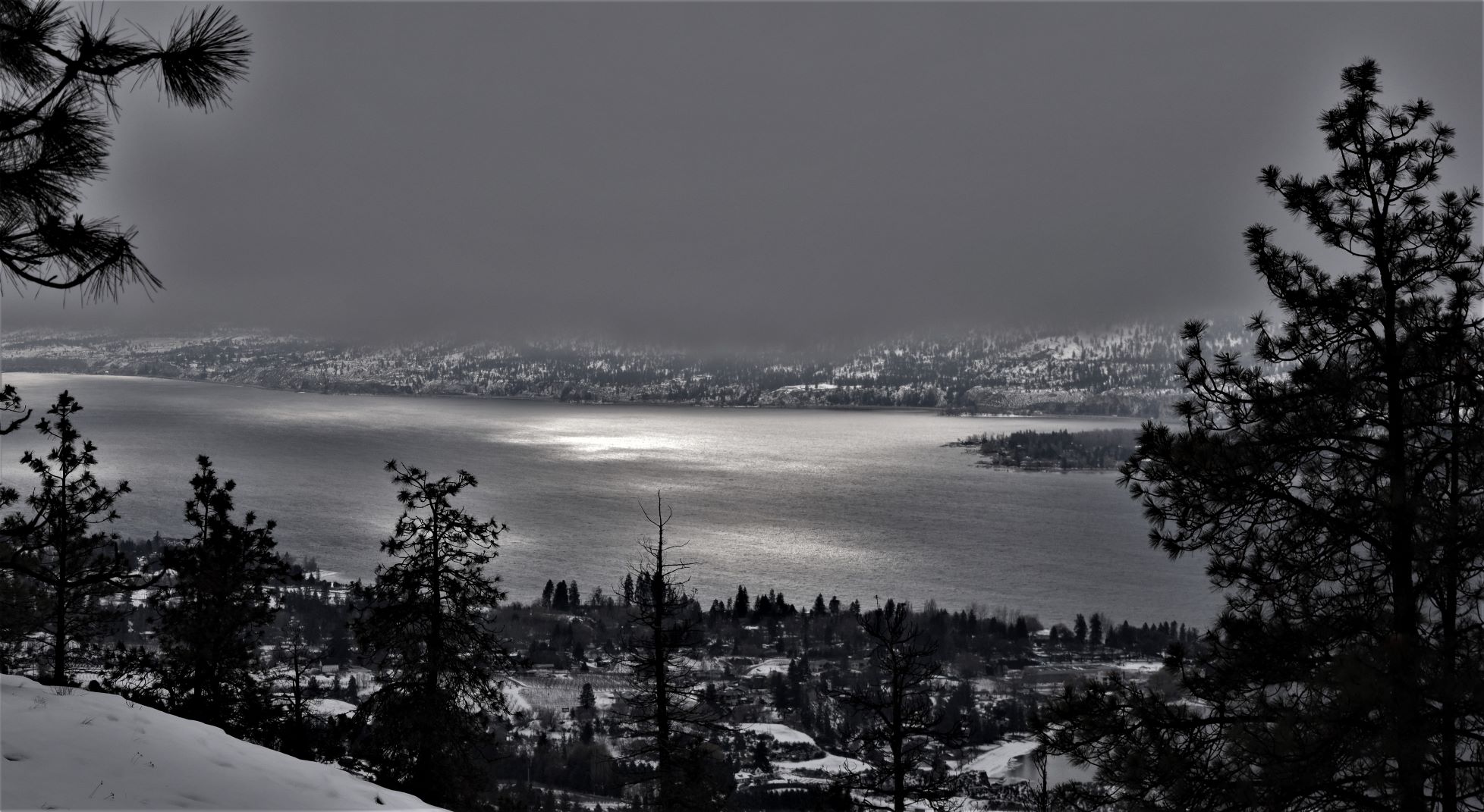
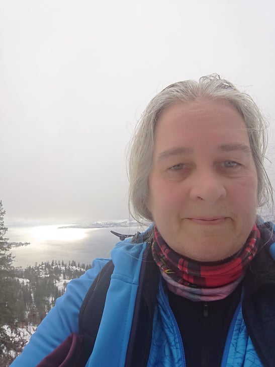
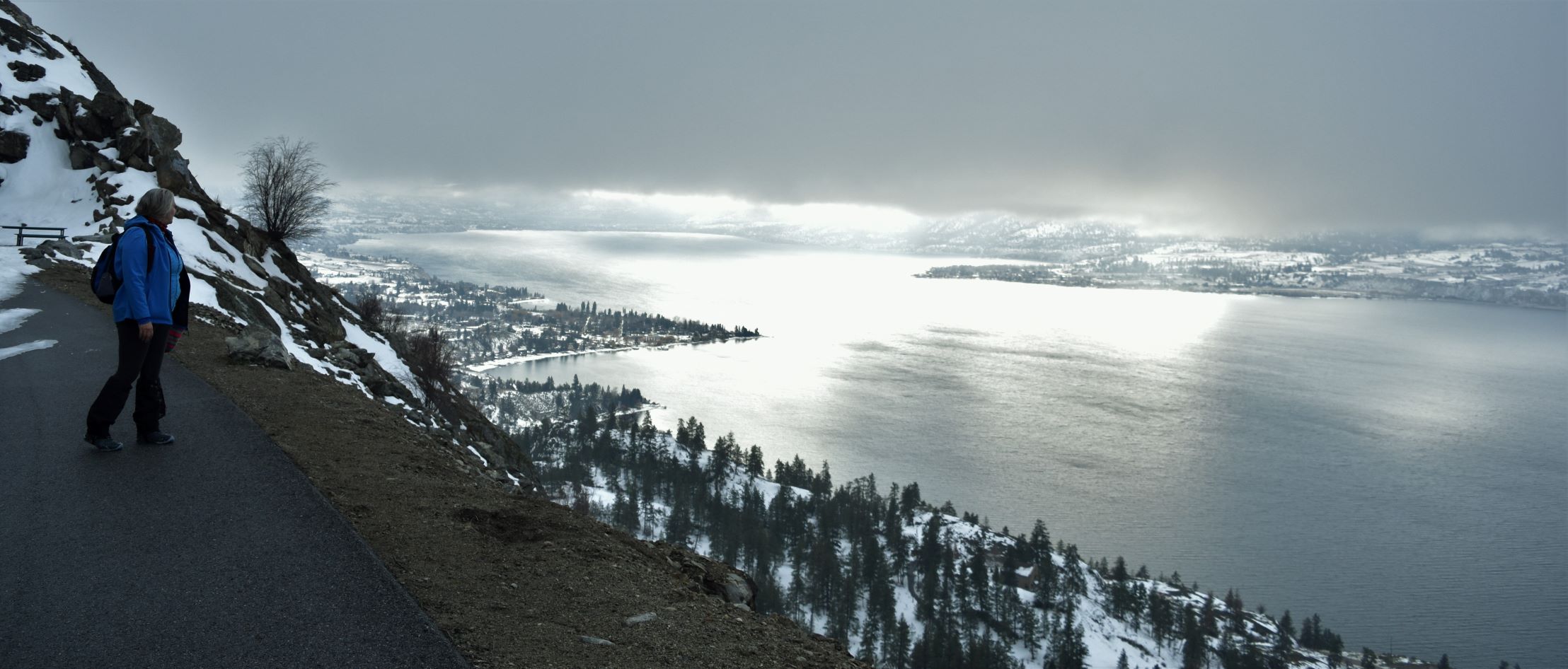
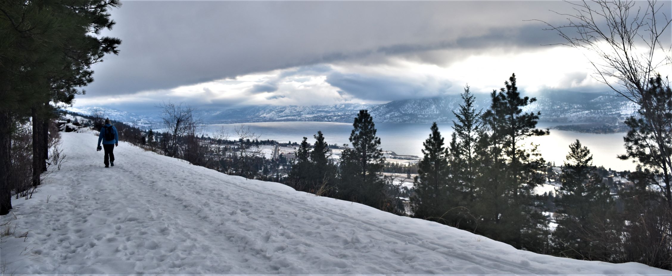
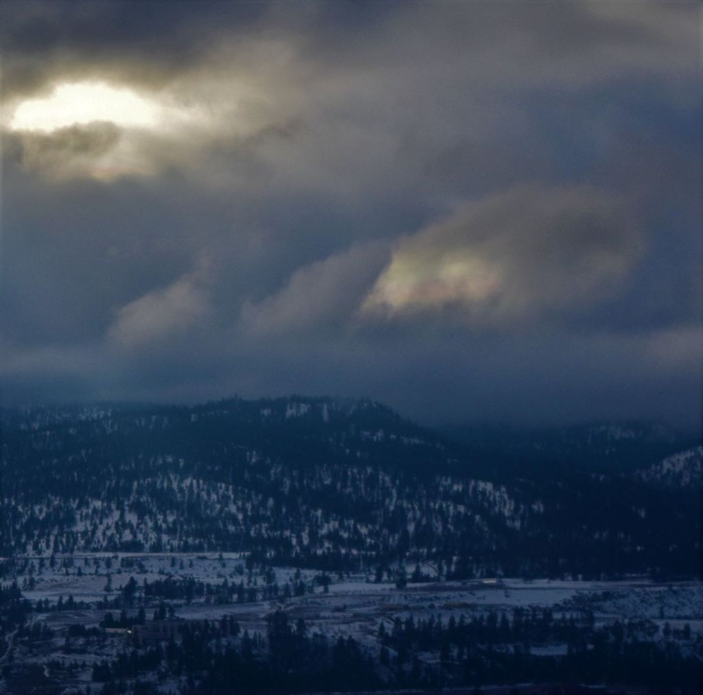
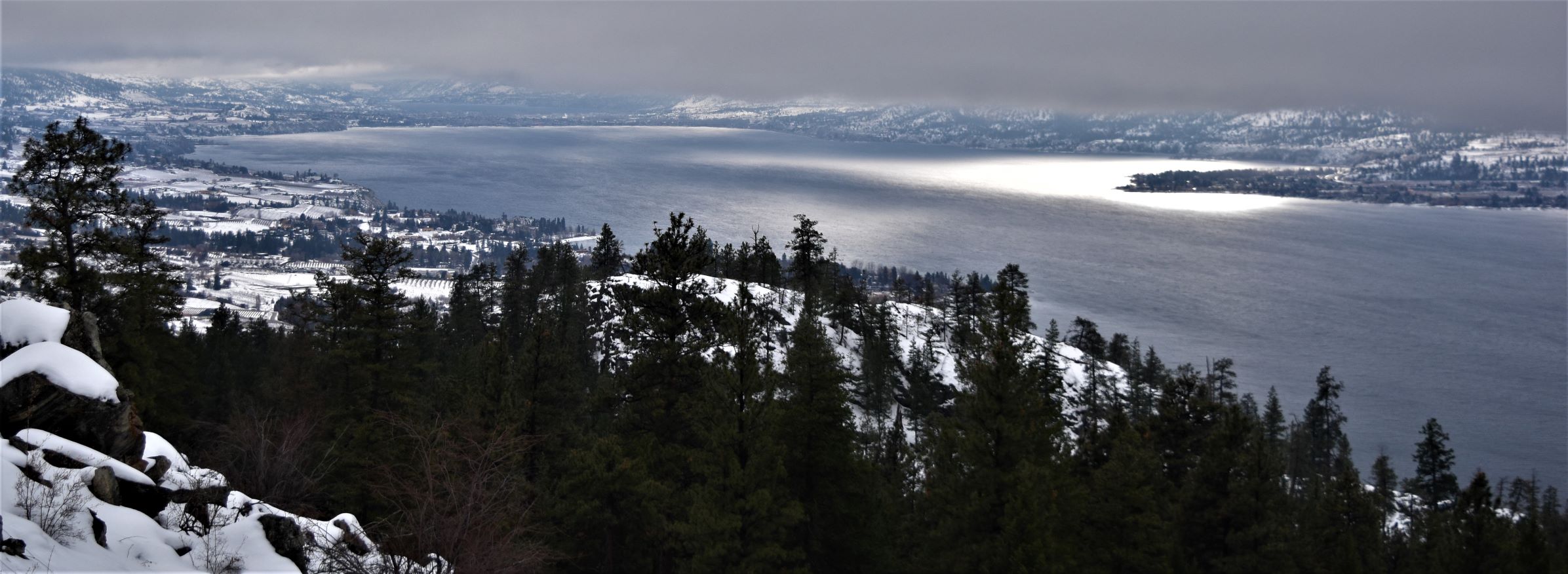
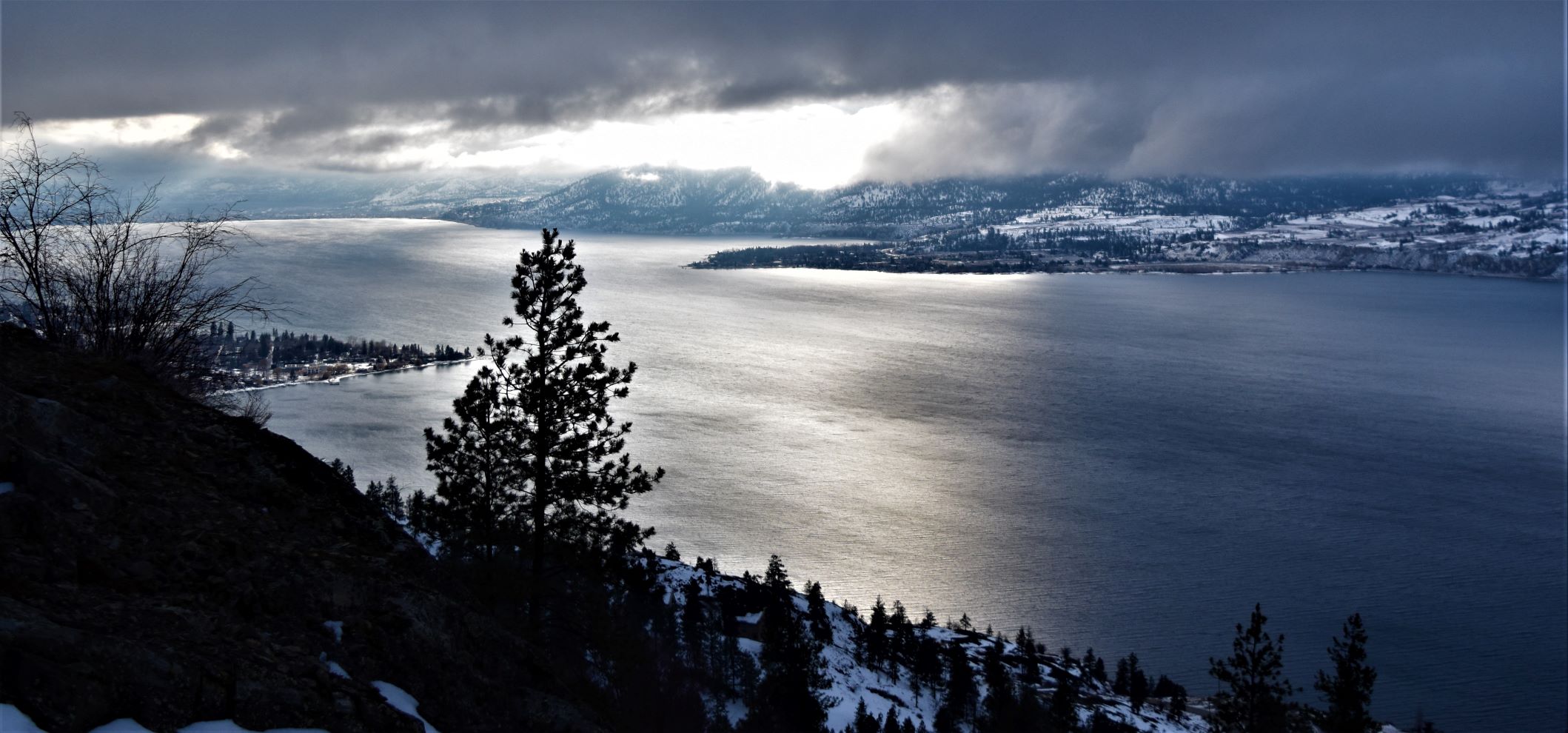
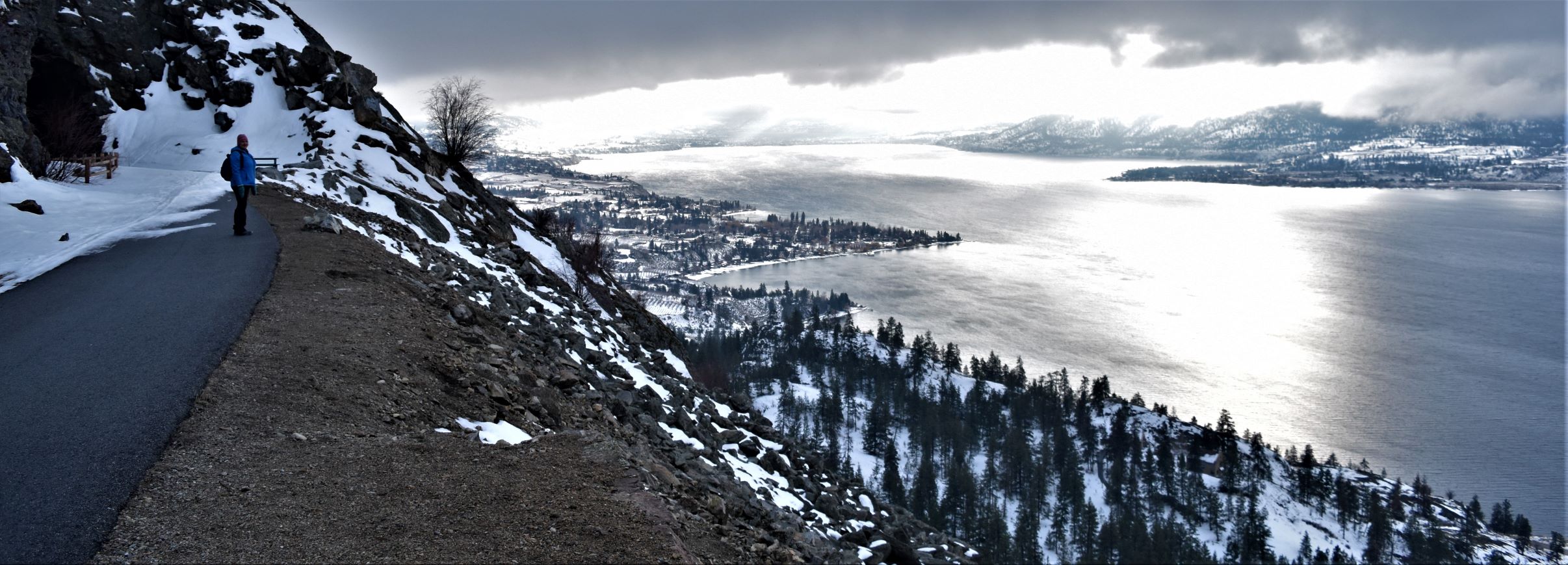
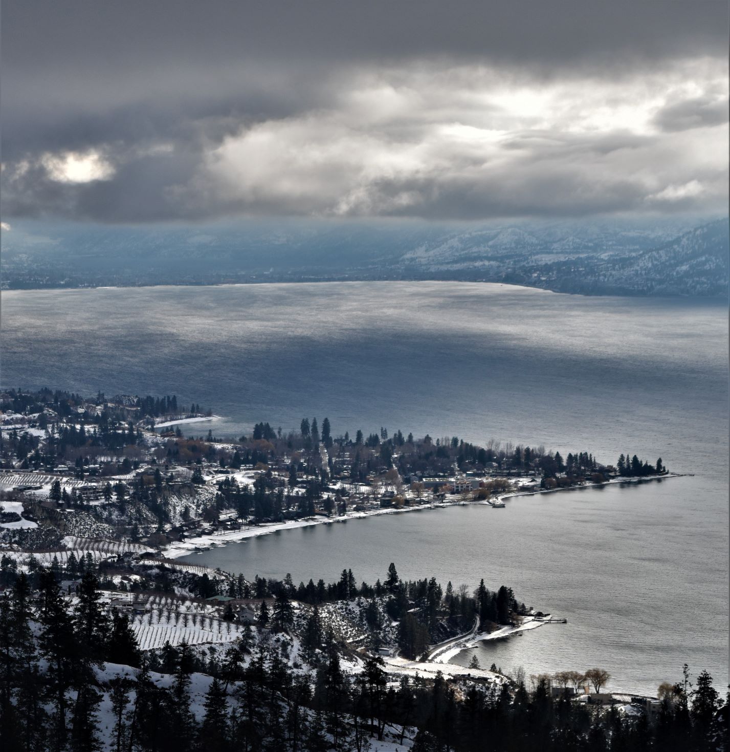
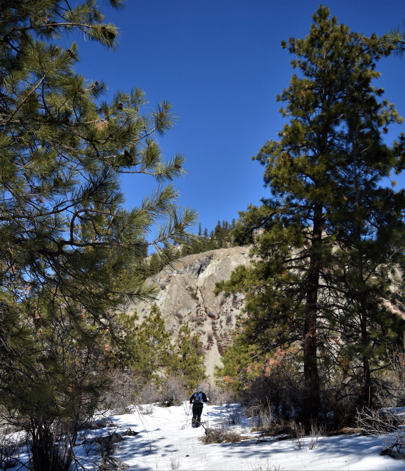
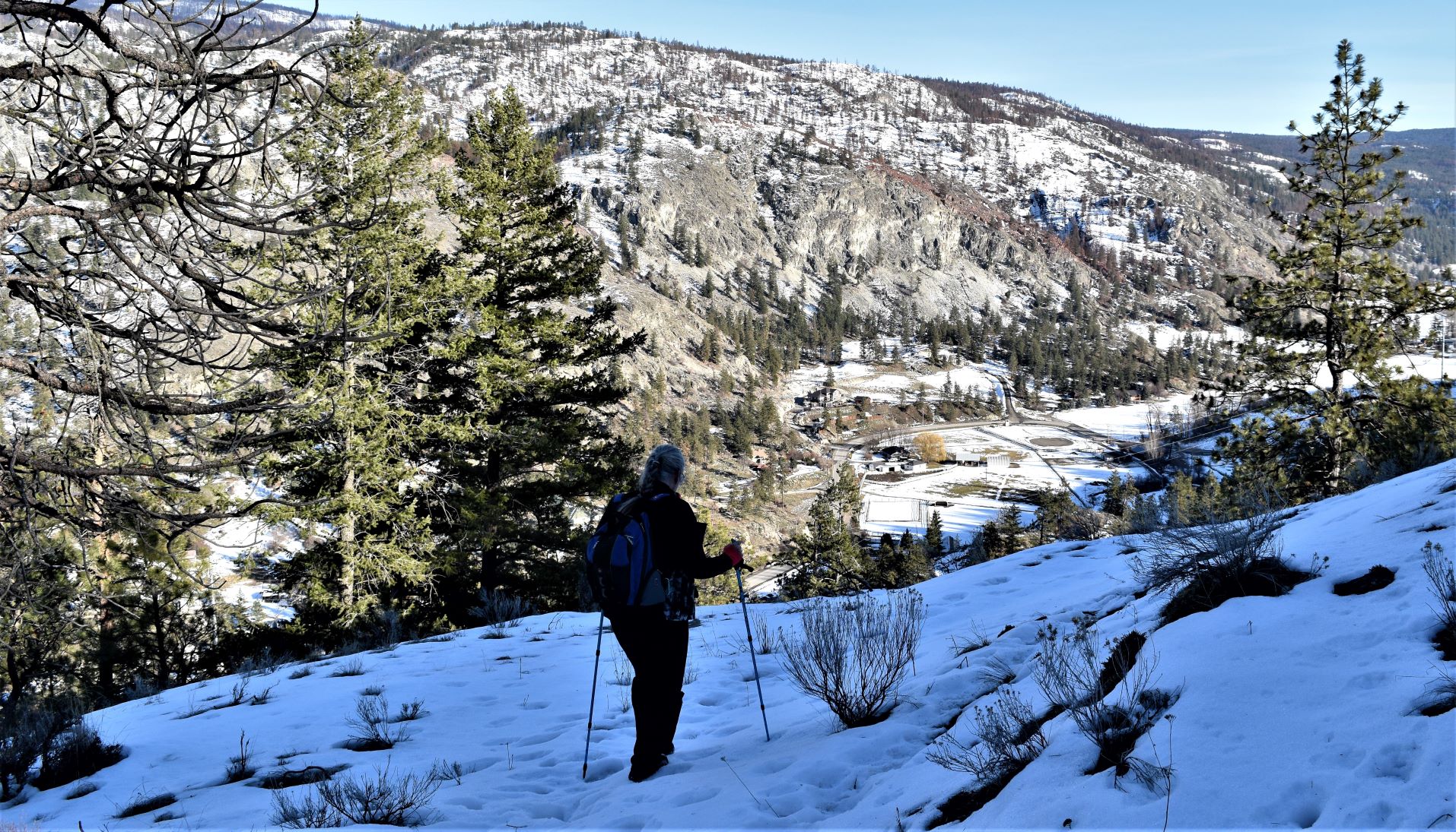
The requisite spectacular views were duly sighted and recorded…..!!!

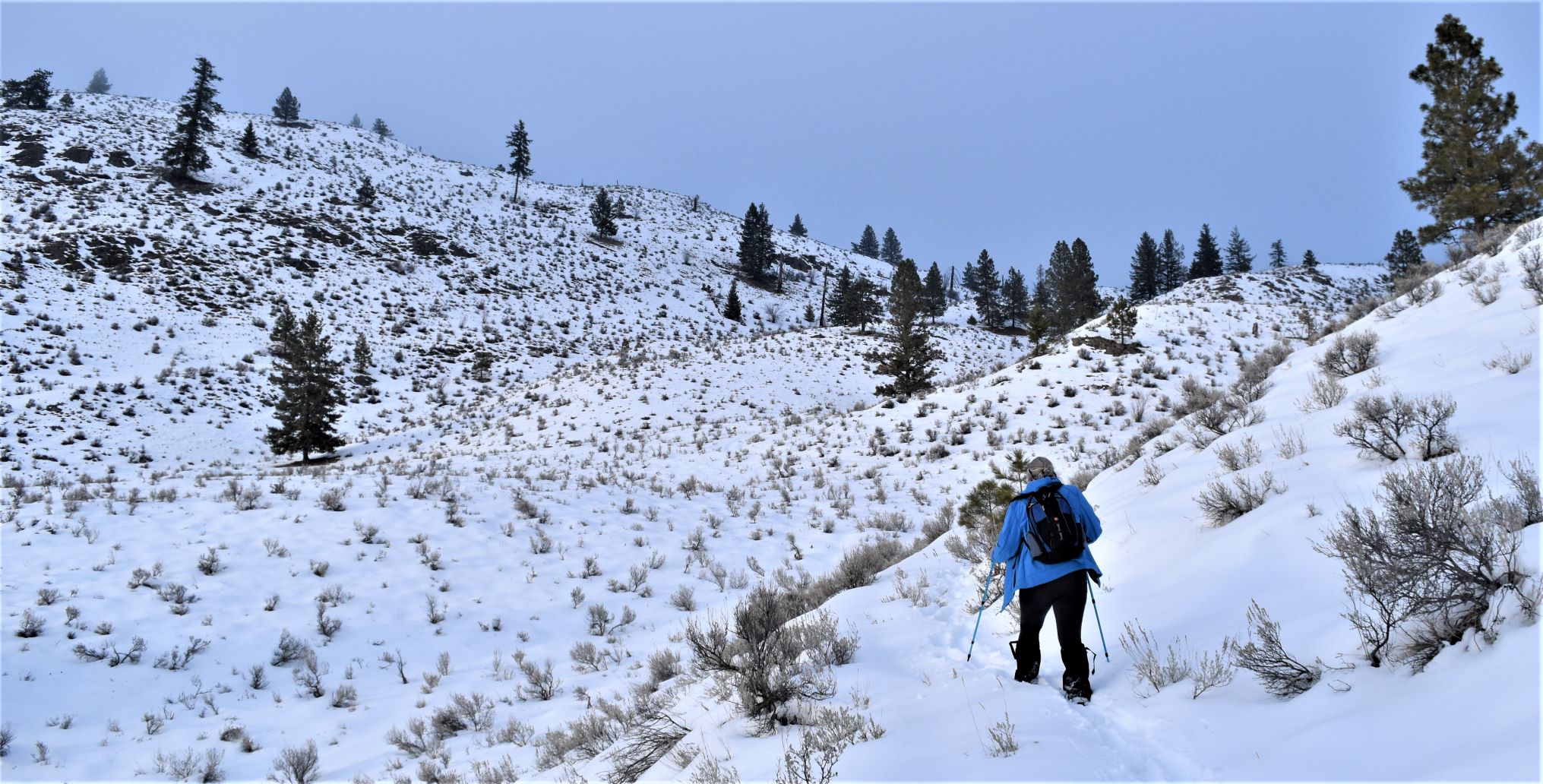
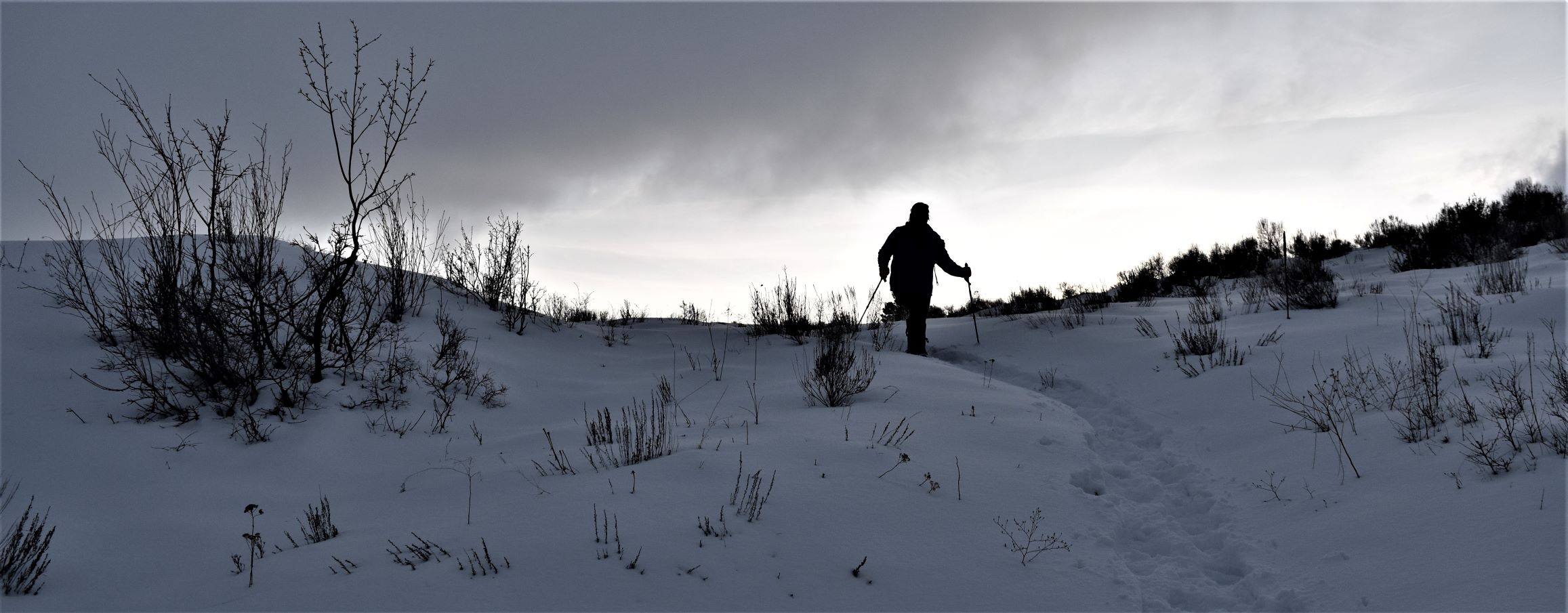
The way back down was fairly sun exposed….so we ended up having to stay on the snow as much as possible because the exposed ground was very soft and muddy with the snowmelt.

Another very beautiful, very satisfying day out…..

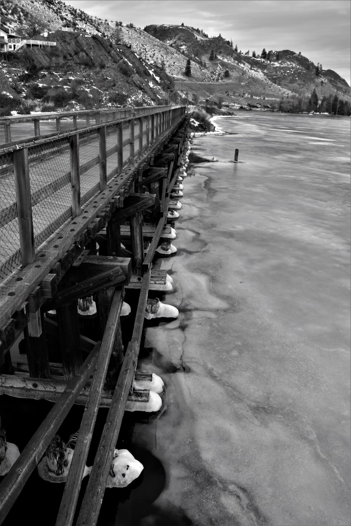
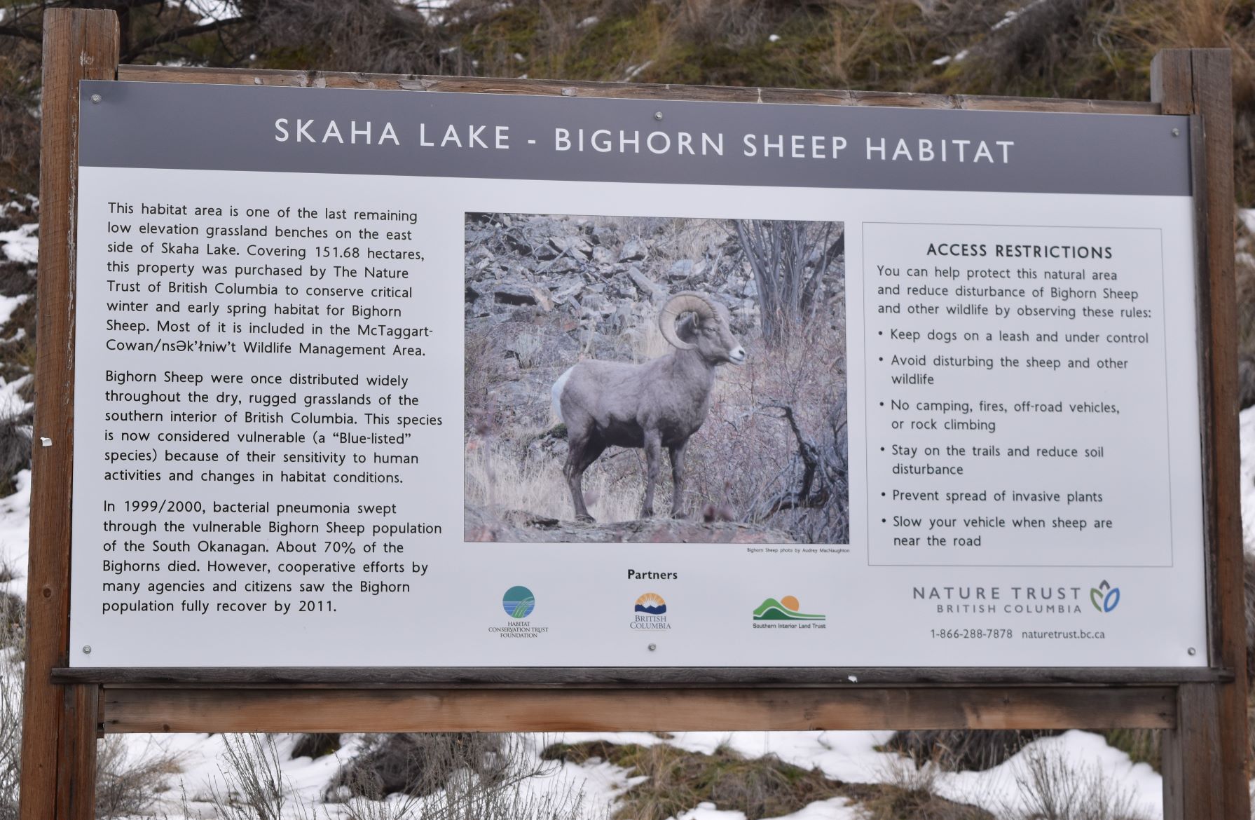
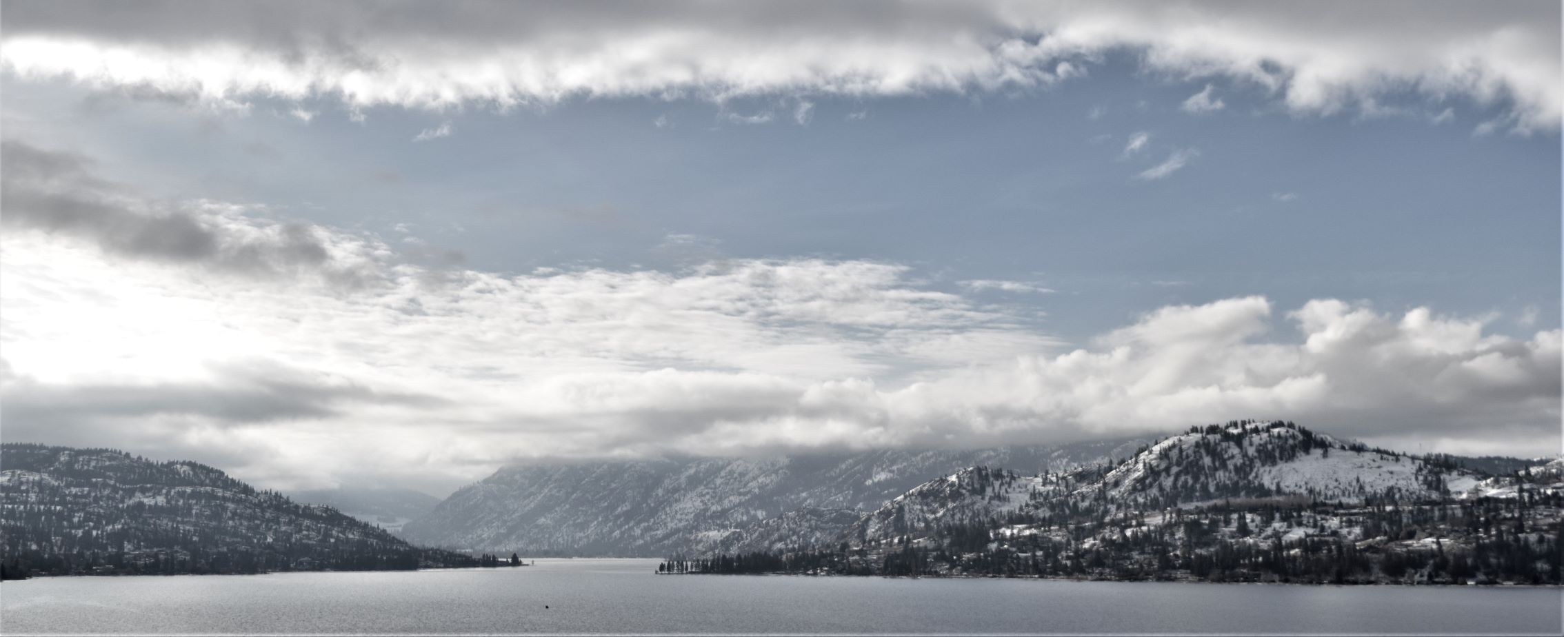
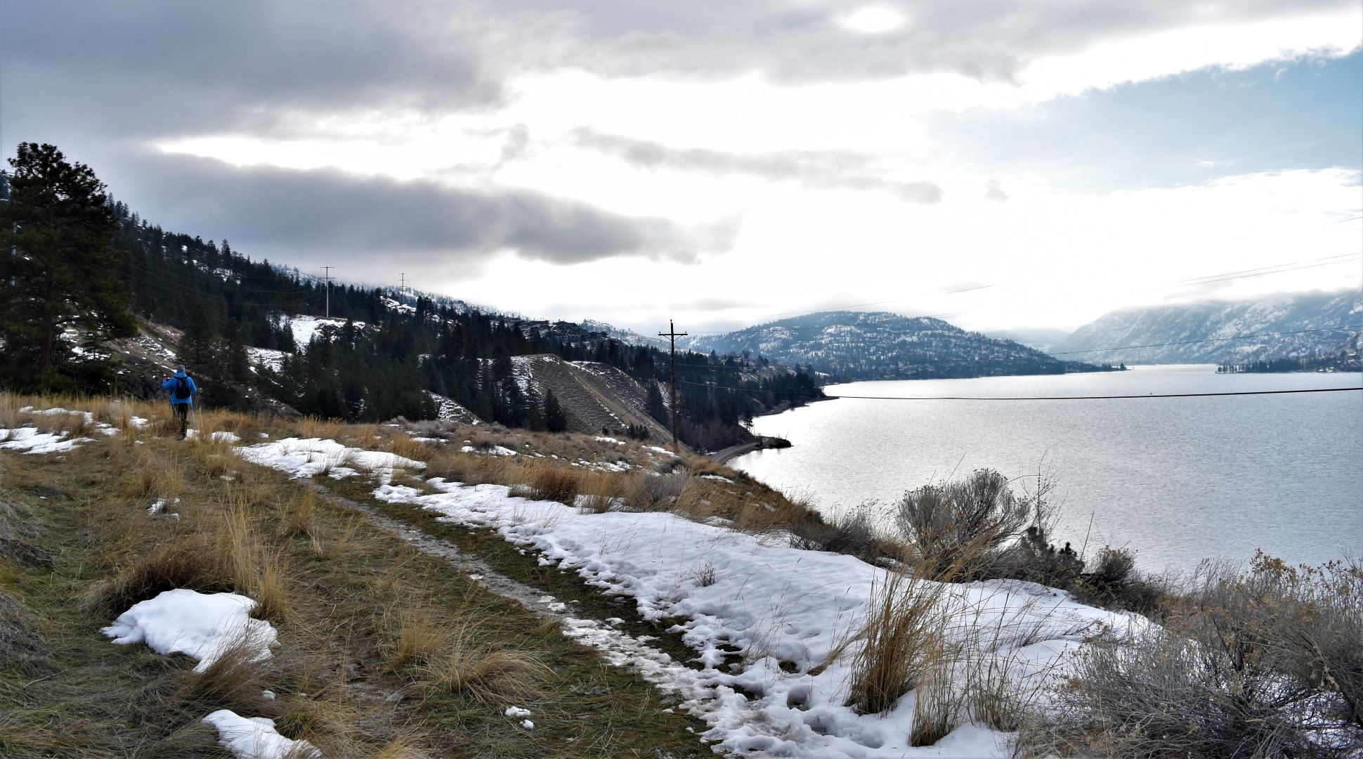
Next post will be a conglomerate of a few trips down the side of Skaha lake…..
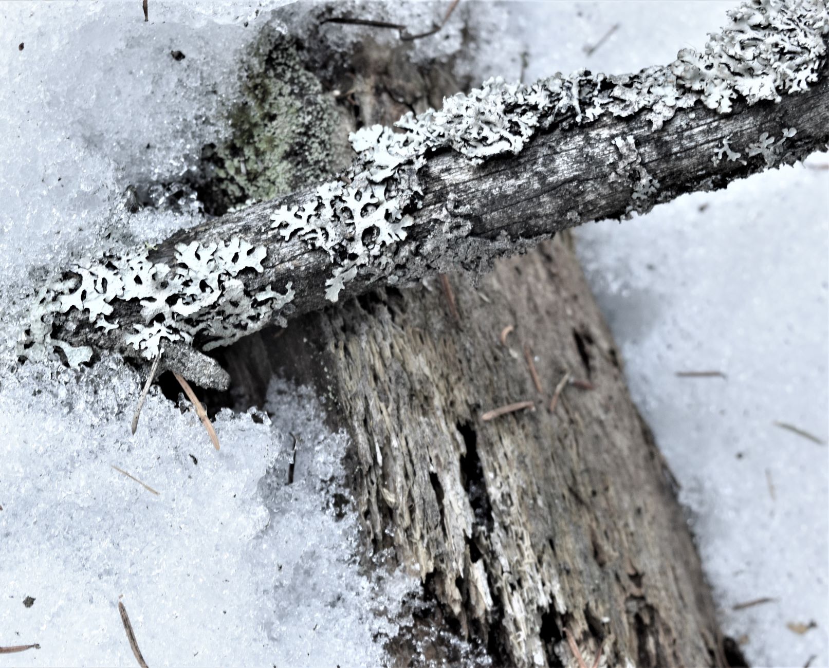
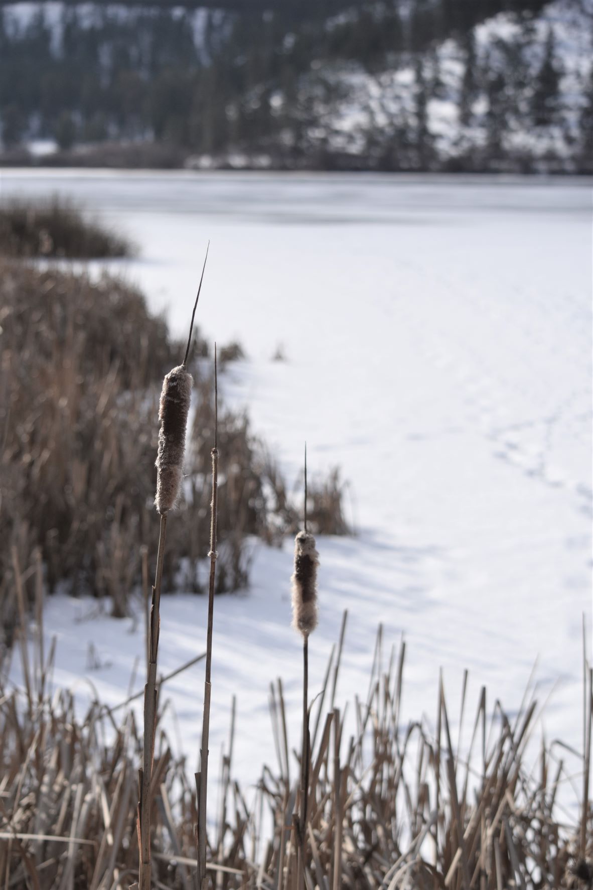
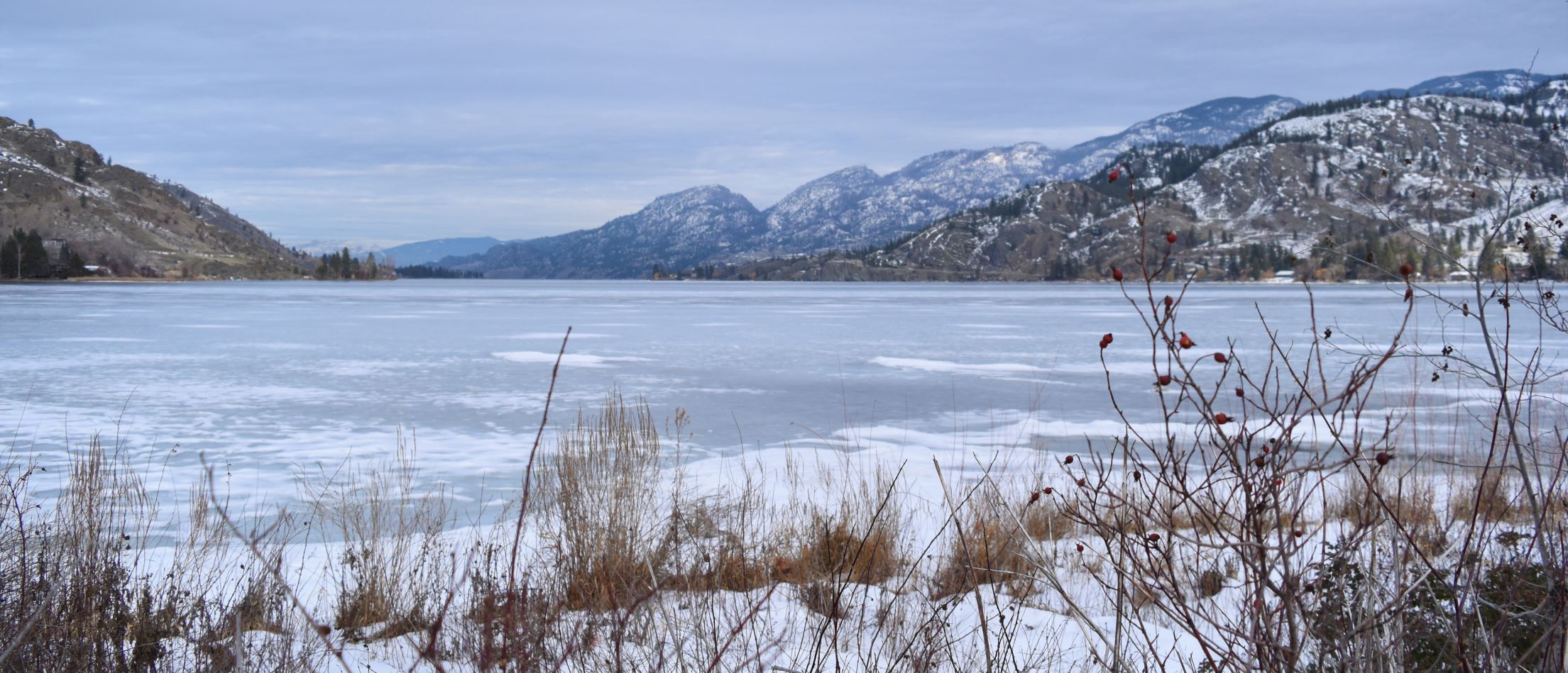
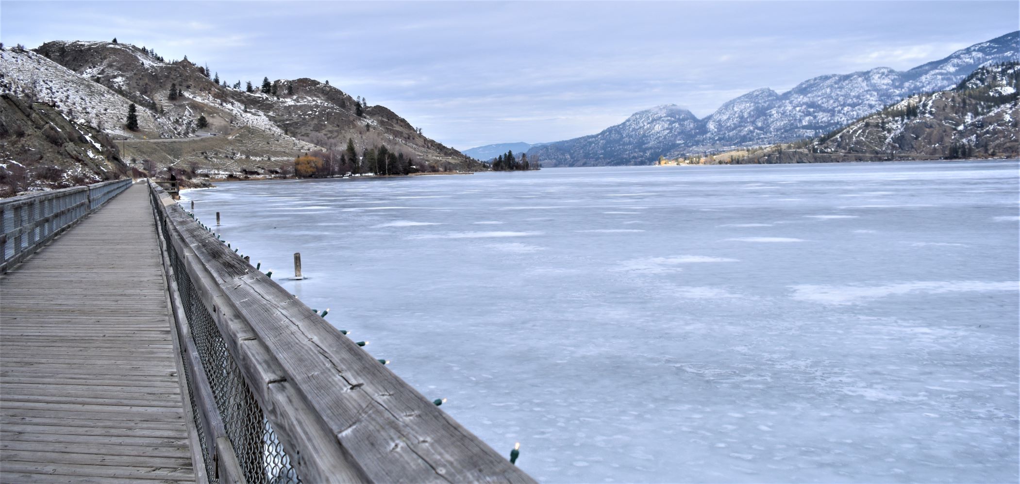
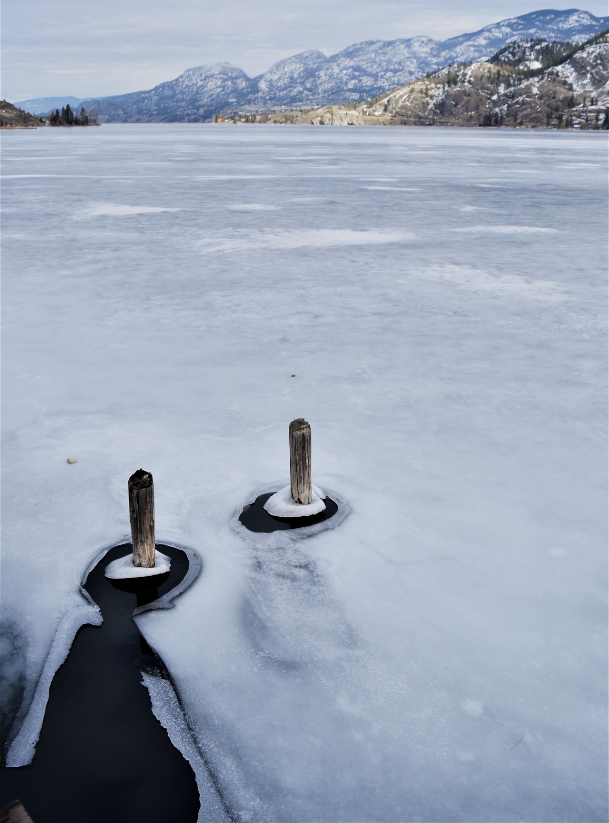
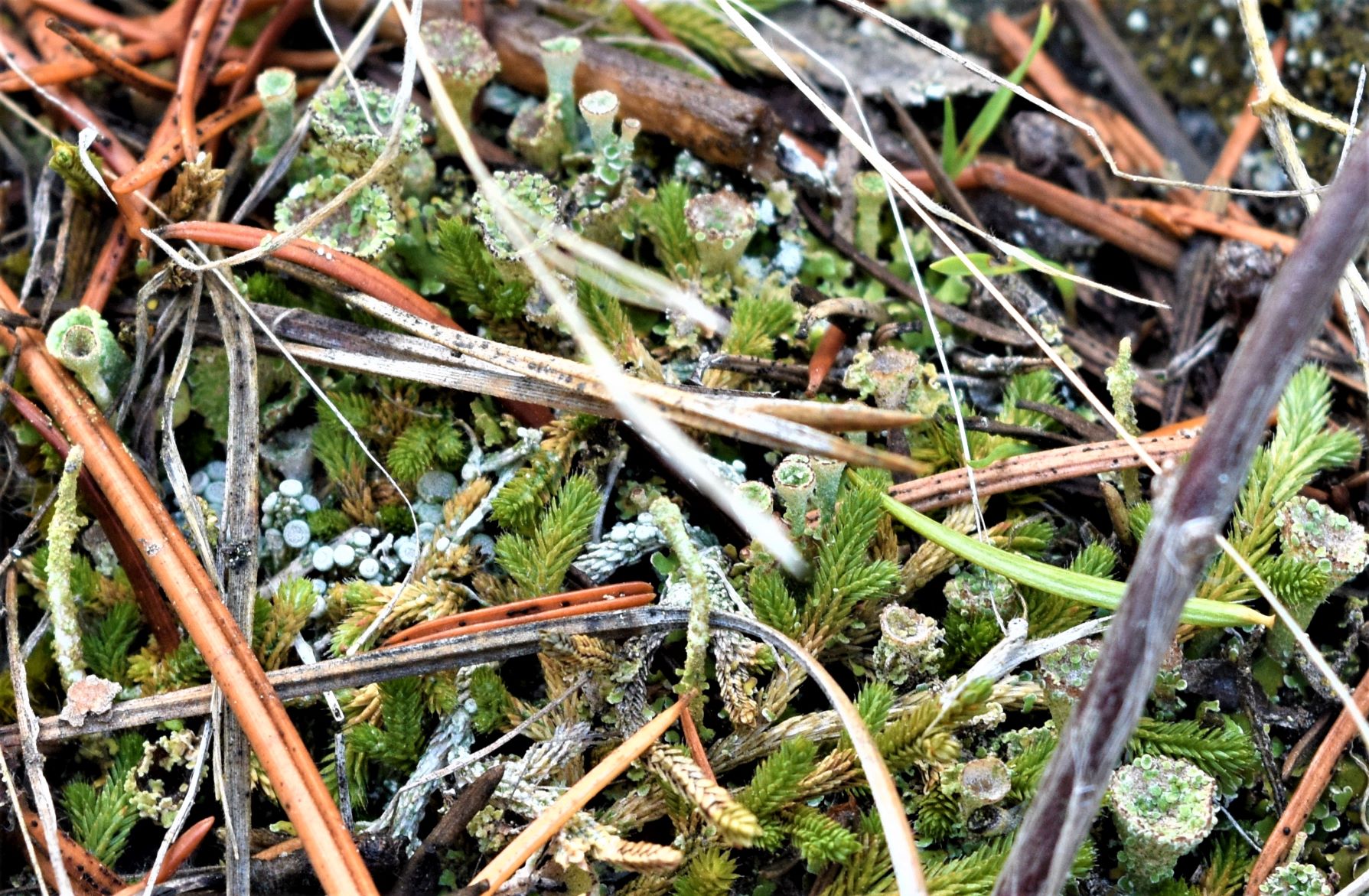
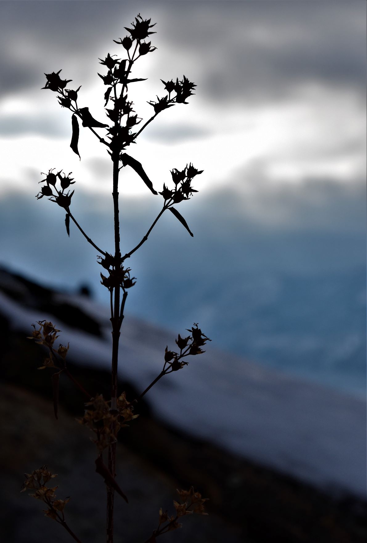
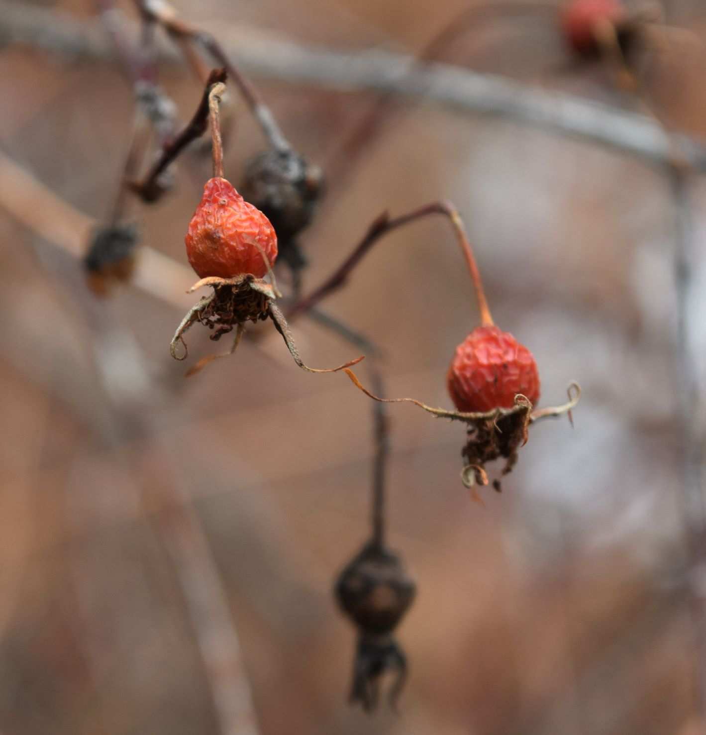
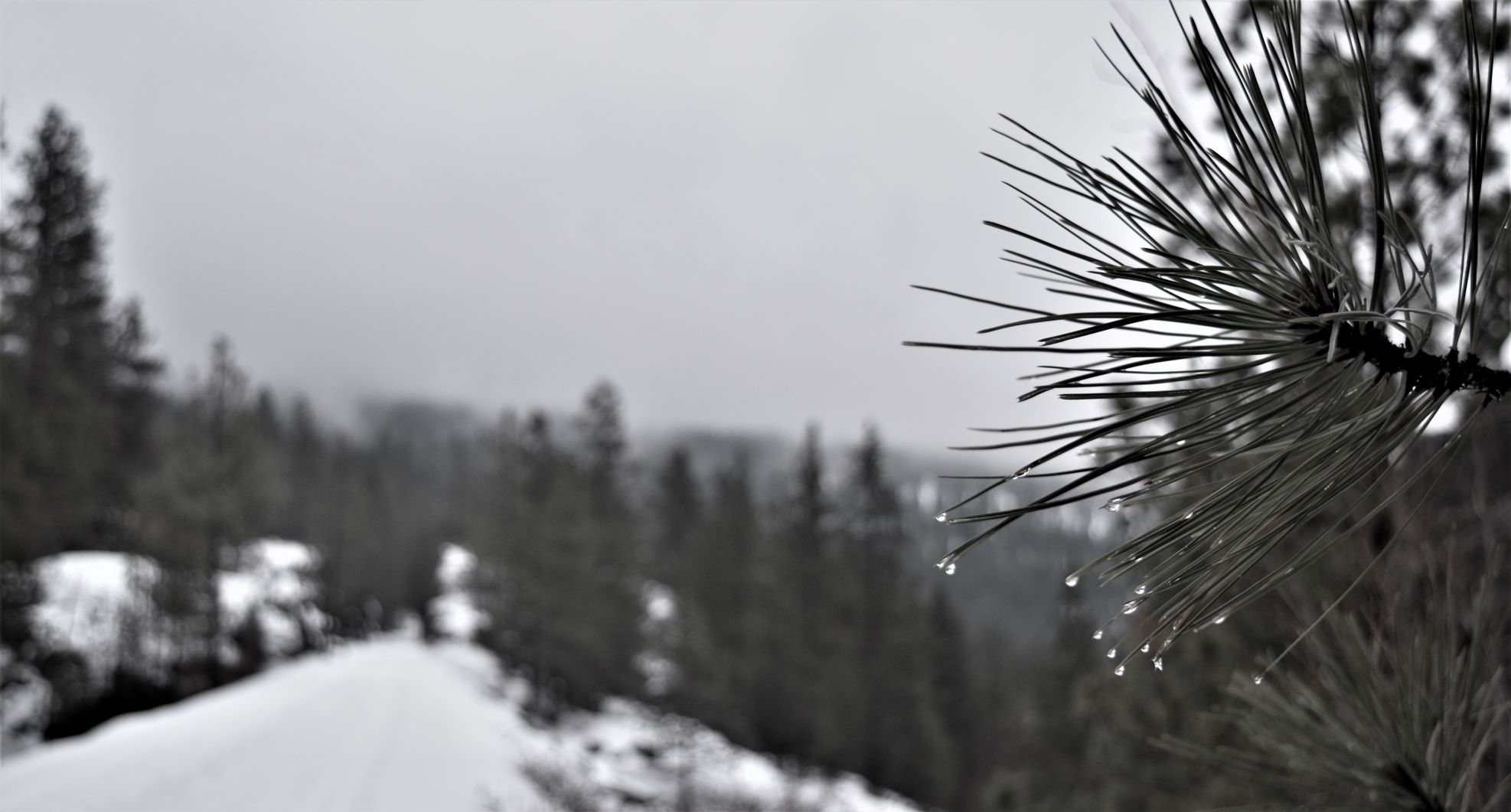
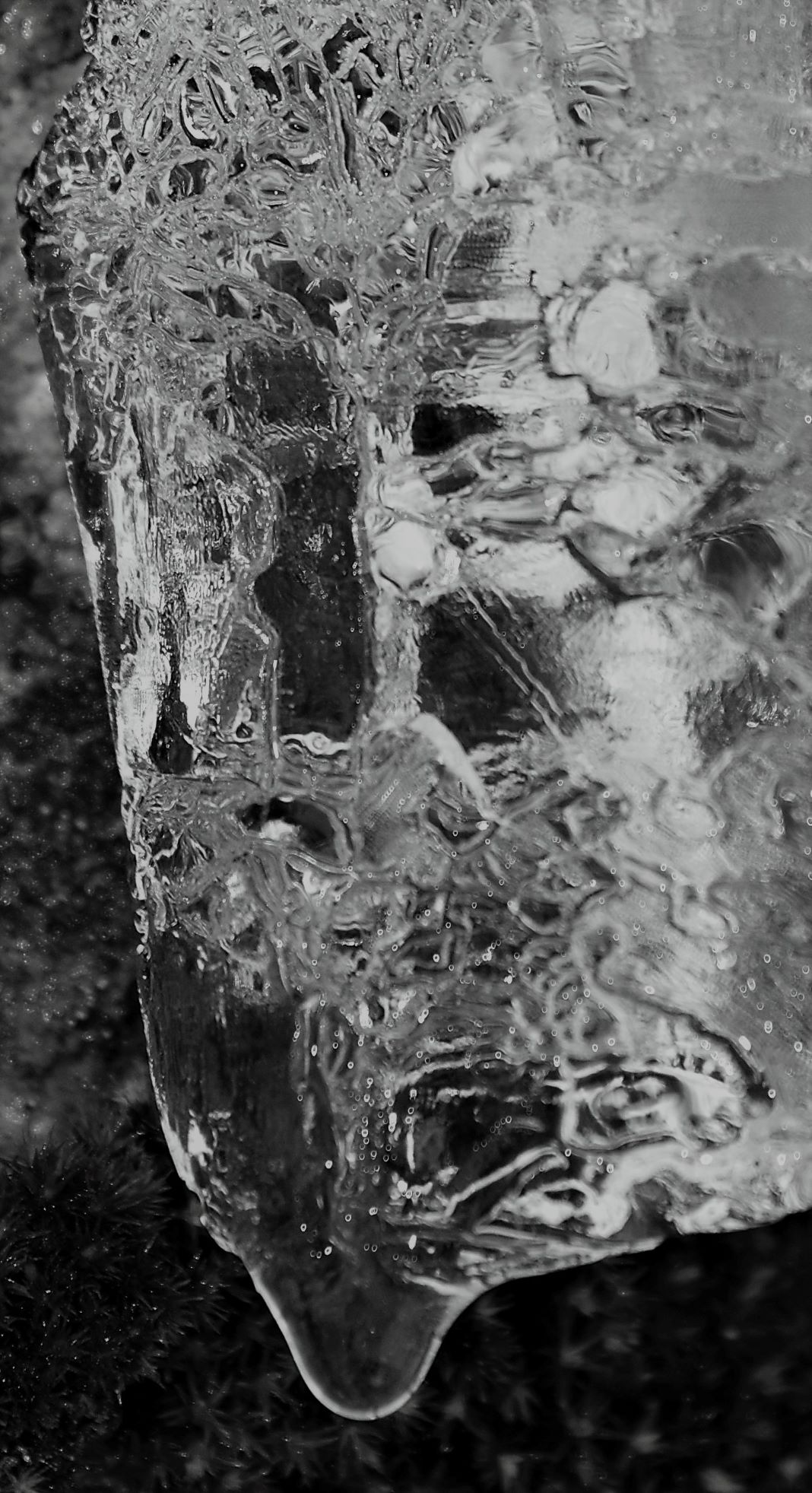
Extra Pix

February 6th Lower Parker Loop. An enthusiastic endeavour…!!!

Yee ha……the weather has taken a distinct change for the warmer……but still with snow at higher elevations. The weather network promised us a sunny day so I picked a trail fairly close to home that would keep us in the sun for most of the journey.

Lower Parker loop was the pick for the day. Another trail up by the observatory (DRAO) ……a nice looking loop according to the map….and Alltrails was telling me it had been travelled a few times in the previous couple of days. So off we went….!!

Snow tracking rather than path following on this one. The snow looks shallower than it actually is because the top layer is a bit frozen……

…….so the tracks we are following are mostly from snowshoes, but every half dozen steps or so…..your feet crash through.

It was a truly beautiful day…lots of sun and blue blue sky.

To begin with…its hilariously funny…as your feet keep disappearing….but it gets very wearing very quickly (as Scott described…its a bit like a reverse whack-a-mole where your legs suddenly disappear down a hole ).

The landscape did not disappoint, between the snowy line of the hills/mountains, and the strips of fluffy cloud giving us those calendar page vistas…..the skyline was spectacular.

We were grateful to be following the snow tracks, but even with them, by the time we got to the almost halfway point it had taken more time than anticipated. It is hard work slogging through the snow and we were starting to lose the light. (Editor. So Mho turns to me and and says that we’re less than half way and starting to lose the light and we should probably retrace our steps ….what did I think ? Well those of you who know me will know the answer.) The decision was made to complete the loop rather than backtrack…….

………and then the snow got deeper…..

So now we were almost leaping from step to step (still following someone else’s footsteps.) At this point we decided we were actually going to lose the light if we went all the way round..

……but it looked like we could cut off a section by striking out through the gully rather than round the next hill.

Best laid plans…..the snow (now virginal) was knee deep and deeper…..my gaitors had completely given up staying over my boots by this point…….so we waded through the snow…expecting it to let up any time soon….it didn’t…… LOL…I thought it was going to get shallower as I got close to this tree to fix my gaitors……NOPE…!!

It really did not help that we were killing ourselves laughing as we were falling all over the place in the snow. It still makes Scott laugh out oud when he looks at the pictures of me falling over, or disappearing in the snow….!!! (Editor. I had the unenviable task of ‘running’ on ahead to take photos looking back, then falling behind to take photos in the direction of travel and finally running to catch up again. Somehow we convince ourselves this is fun, sometimes not at the time but it always is looking back.)

Eventually we got to the fence line and the very welcome sight of snowshoe tracks on the other side..

Yes…that last picture is my leg disappearing…….again…!!!!

A quick check of the alltrails map suggested that this snowshoe trail should lead us down to our start point …and a trail to follow was much easier trekking than breaking a new one. (Another moment of appreciating what the pioneers must have faced…!!)

By the time we made it back to the trail proper…we were both slightly tired…..!!!!

It was a 6 and half km hike……but probably the hardest we have done…

….but so beautiful.

The next post is a day that very much reminded us of the ever present bear population….!!!

Extra Pix (this was a tough one to winnow down the pictures because there were soooo many good ones..!!)

Jan 18th and 19th. Land of rock and ice..!!! (Broken knee mountain..!!)

A day of bright sunshine , but not necessarily warmer temperatures took us down to Vaseux Lake bird area again.

(Link to website for this sanctuary..!!)

It is such a spectacular little conservation area right on the side of the highway (highways through the Okanagan is what would just be called a road anywhere else in the world because through the valleys there is generally one road…in and out……that was one of the big issues with the flooding late last year……there just are not many roads…because there are a lot of mountains..!!)

It was one of those blue sky days that we love…so we drove down hoping maybe to find some birds….wrong season I suspect. There were some swans on the lake…a couple of intriguing whirrs of wings through the undergrowth…but not much other than scenery to see.

From the south end of the area….on the north end of the lake….as you look down you can see the sheer cliff of McIntyre bluffs…..its kind of chilling to see just how vertical the drop is.

See the source image
McIntyre Bluffs …looking south across Vaseux Lake.

With nothing else in the plan for the day we decided to stop in Okanagan falls and take a look at the trestles…with a view to biking down (28km round trip) with some warmer weather.

With not much else for entertainment on this frigid day it seemed like a good idea to drive back up the east side of Skaha on the return to Penticton (highway 97…the main highway is on the west side)

Its a lovely road….a narrower, sinuating backroad (with, much as you would expect, a radically different vista). About a kilometre before the Penticton boundary, we spied a small parking area with some Conservation signage. Had to stop…..after some stone skipping on the lake (see ……here )

We checked out the sign…and I had a look on Alltrails cos I couldn’t believe that I had missed such a promising looking trail…..to find no entries on that trail.

So …I learned a new skill on Alltrails and drew my own trail map to follow. (Woo hoo..!!)

The trailhead has a big information board on the re-establishment of the bighorn sheep population.

The trail itself was promising it started out with a fairly level trail heading south along Skaha……with the kind of views we have come to expect…!!

There was a little bit of bushwhacking to get us all the way over to the trail we were trying to follow…..

The trail was still making some promises We met a couple coming down that said thee was a bunch of mountain sheep at the base of the rock face………

We were headed in a slightly different direction tho…..It was yet another one of those walks where the terrain kept changing as we went up.

…and of course…the breathtaking views …

It also got snowier the more we climbed……but as it was a fairly steep ascent we were getting warmer rather than colder……as you see progressive layers of clothing being shed…!!!

The path became a rock face. A rock face interspersed with icy patches and the grade was still increasing at this point. (By this point we are both laughing out loud at our ambitions…!!!)

At this point, following someone connecting his kneecap (loudly) with the rock ‘path’, we decided it might be a better idea to go in another direction and follow a more lateral path…!!!(Editor. The peak in the distance of the photo above left was our goal, approx 4km of ice and moss covered smooth rock. The tap on my shoulder from mother nature was enough to convince me to try again another day )

So in the interest of ‘living to hike another day!!” ……we changed the plan and struck out a bit more sideways.. This tracked us back to the very end of the trail we did with all the pictographs .

…and going down is always a bit harder than going up…….!!!

The lake is so impressive, even from the lower elevations….

Another very satisfying day out.

EXTRA PIX

Jan 14th. An easy walk in the snow….!!! well……that was the plan….!!!

Well it started out as an idea. With the snow melting fairly rapidly here at ground level ..and having had a couple of days of rain, the prospects of muddy walks were not particularly appealing.

The promise in the weather forecast was for a reasonably warm daytime high of plus 3°C .(…you take what you can get…!!) and we have been shut indoors for a bit too long now…..so revisiting the KVR little tunnel seemed sensible…..nice even gravel path, easy elevation…..beautiful views that should be impressive in the remaining snow.

When we got there what we found was a snow covered, barely travelled path….about 8 to 10 inches I would estimate. So much for the nice gravel path. Oh well…!! ..it became an excellent opportunity to try out our newly purchased long gaitors..!!

Lets just say it was hard going…….

The weather network had promised sunny breaks in the early afternoon (the sun is still disappearing from the sky behind the mountains at about 3 pm ish…) so we were confident of some worthwhile views and pix.

It was really foggy. Heading up the trail, We were walking towards the fog/low lying clouds. It is a very interesting effect…that very clean line of the bottom edge of the cloud.

The views down to the lake make that effect much more dramatic……..especially as we approached the tunnel. Watching the other side of Okanagan lake…the sun broke through onto the water.

The glittery, ripply sunspot is truly something to behold. We gasped…held our breath a little, and raced, as fast as the deep snow would allow, to the tunnel hoping it would still be there when we got to the other side. The intensity, shape and colour of the light changes by the second as it moves up the valley and fresh openings cleave through the cloud cover. The silence only adds to the majesty of it all.

Being January 14th…it is also what would have been my fathers 101st birthday. Last year my niece and her partner organised a virtual run in memoriam..my (Macfarlane) tartan buff is from that run.

That sunlight display across the lake rewarded our efforts with an unfolding burnished, other-worldly spectacle.

We (I…!!) decided against trying the ladybug walk out onto the rock formations. Just a bit too icy and slippery (despite the fact that any pictures from there would (almost) have been worth it.)

The walk back down was vaguely easier….but it might just have been the psychological effect of knowing we were going downhill.(……and the knowledge that there was coffee in a thermos waiting in the truck.)

By this time our legs were…well tired is one word…….the constant unevenness and lack of traction are hard going on the hips and ankles. Interestingly its easier to walk in the fresh snow to your knees cos at least your footfall is even…and there is a little bit of traction. Walking in this stuff…… imagine staggering drunkenly for 10 km!!! ( Editor. Hmmm no idea what that might be like )

It was as beautiful (if a little veiled) as expected…….and despite the complainting…..it was great fun….!!!

The highlight of the journey down was the fleeting appearance of this little rainbow cloud…….I hope you can see it…..it was much clearer in life and we almost missed catching it on camera…..

Rainbow cloud.

The next trip out was a hilariously death defying trip up a trail we found on the east side of Skaha lake.

( PS if anyone is interested, here is the link to the same hike pre-snow.. https://osteopraxis.com/2022/01/02/nov-26th-naramata-kettle-valley-rail-to-little-tunnel/ )

Extra pix