Niagara Falls of the West (and more ghosts)

On our last day in the Crowsnest Pass for this visit we started out with a plan to drive over to Oldman River Brewery in Lundbreck. We were hoping for a growler fill of their fine brew to take home with us. It was not to be….the brewery was not open on a Monday….argh…!!!

But we made the stop in this tiny little town of Lundbreck anyway.

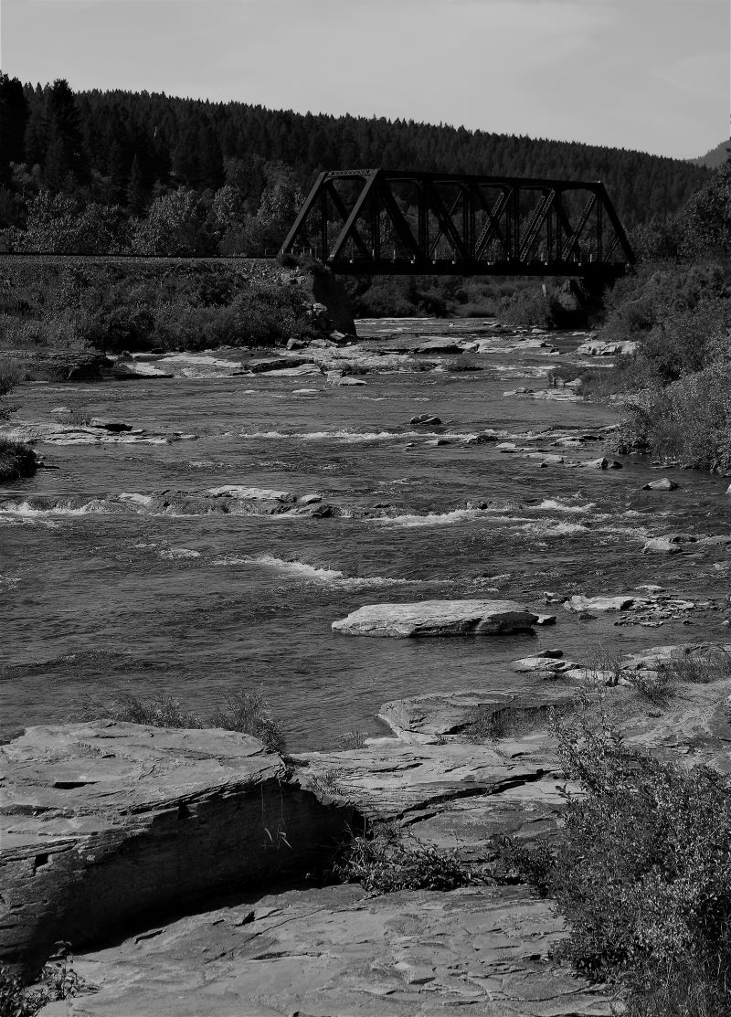
…and, on the recommendation of Jordy (of Turtle Mountain fame……LOL) we stopped at Lundbreck Falls…..the Niagara Falls of the west.!!

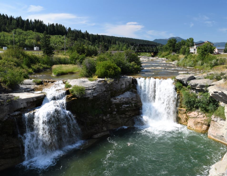
It’s a bit like Niagara Falls miniaturised…. very pretty stop actually and handily just off the highway if you happen to be driving through.

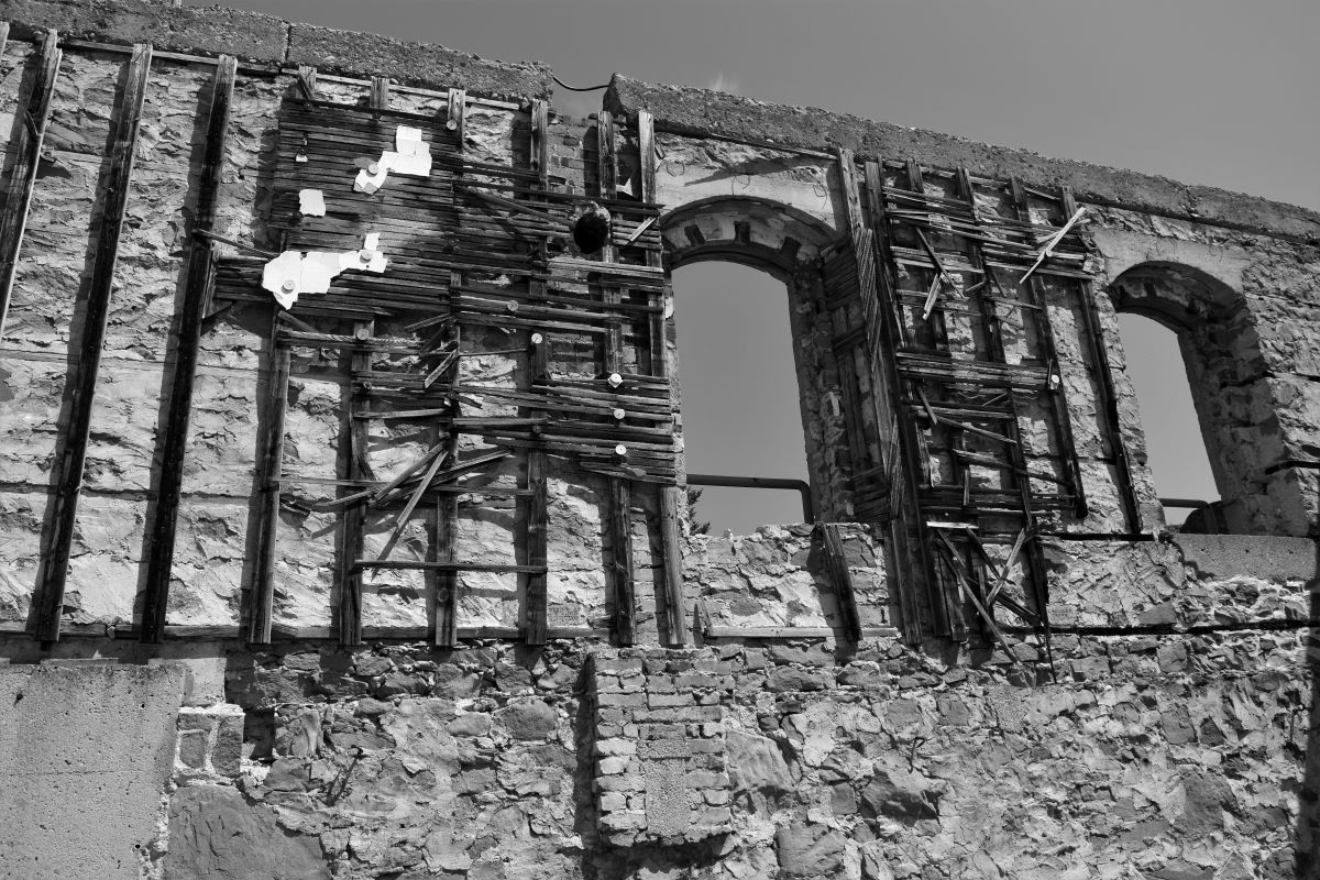
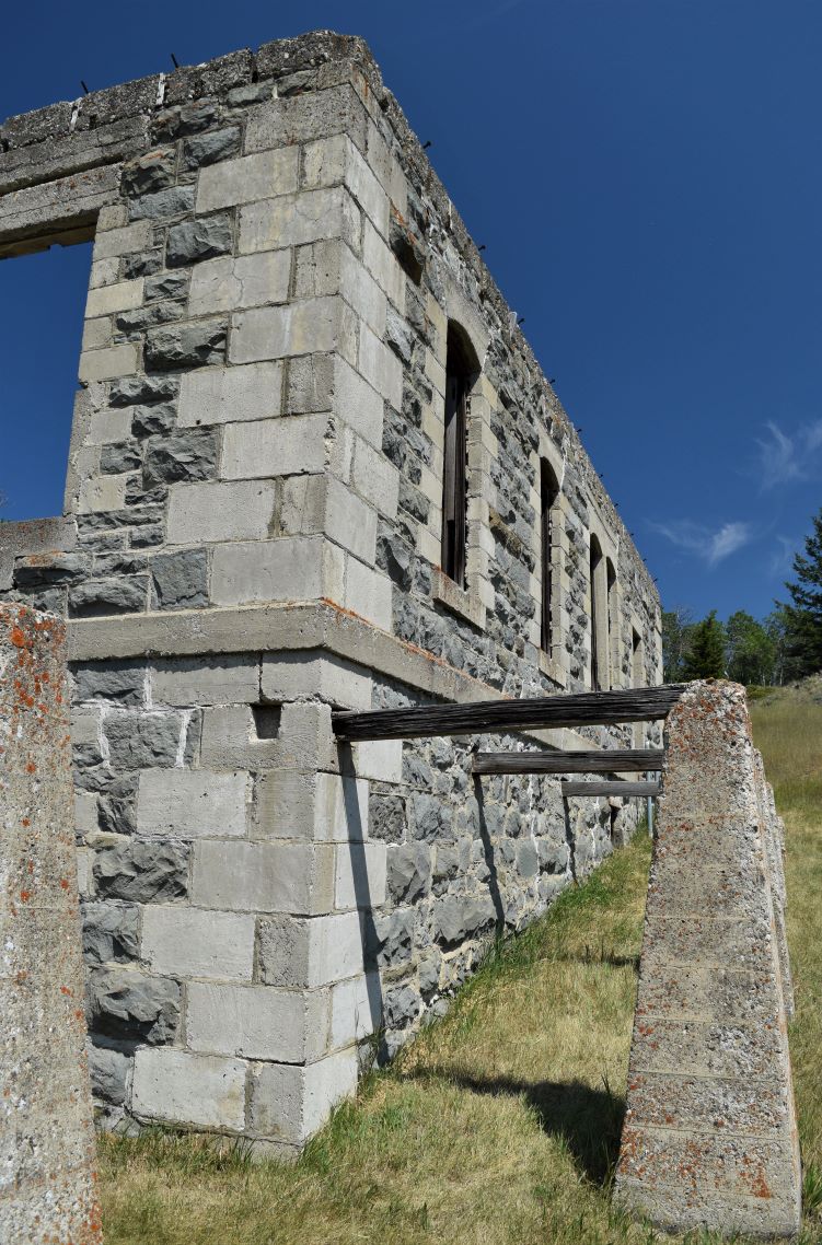
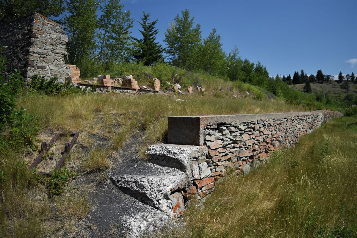
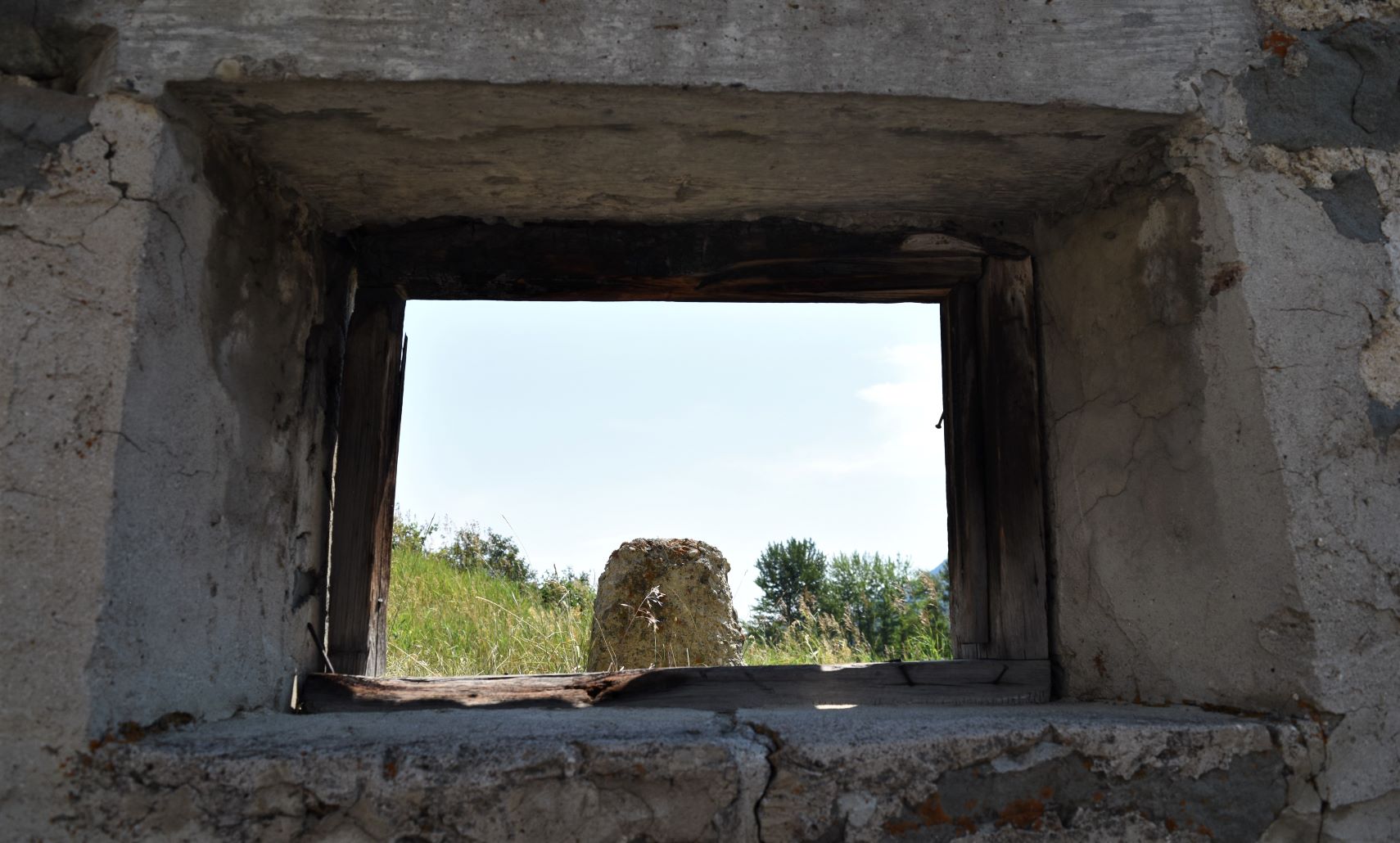
Next stop Leitch Collieries. We had driven by this site a few times and with plenty of time and our recent search for old mining towns it seemed appropriate to stop.

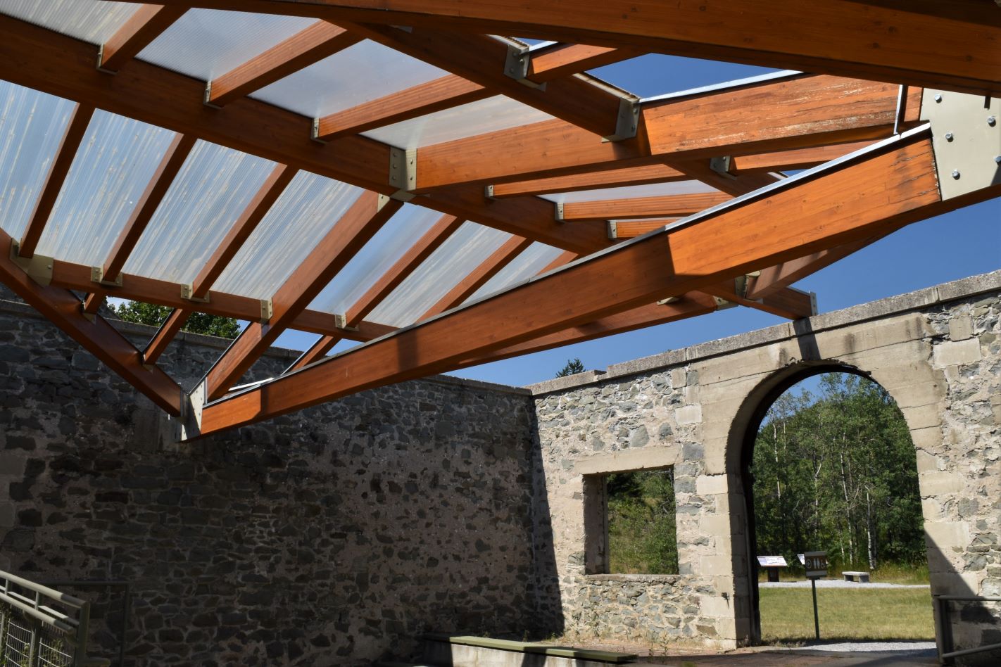
Its a place that does not require much imagination to ‘see’ the way it was all set up……

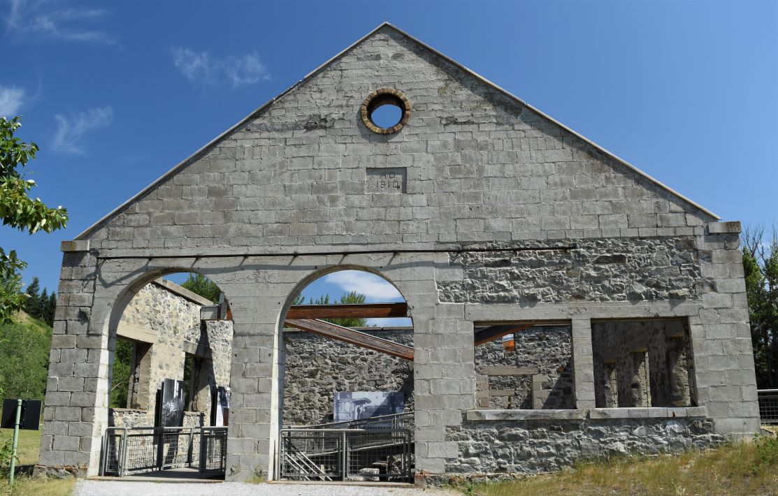
….and the interpretive walk is well laid out to tell the story with pictures of the original buildings.

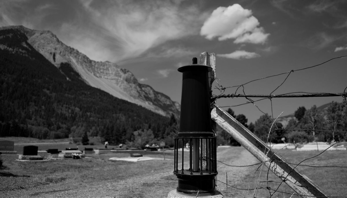
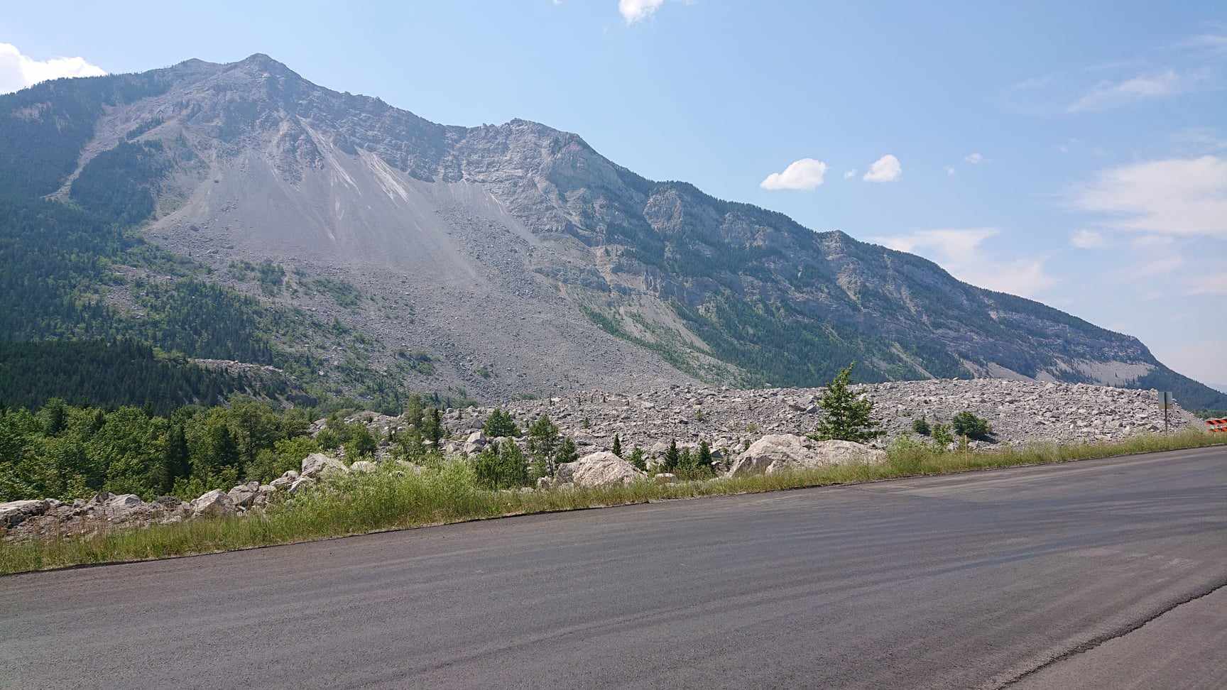
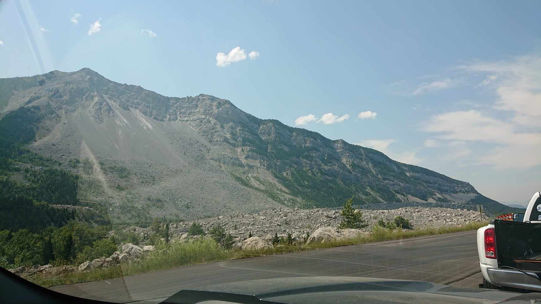
Another stop on our way back to the campground was the Hillcrest Mine Memorial Park and Cemetery. It is an incredible site in the shadow of Turtle Mountain and in view of Frank slide. This site has a memorial to all the deaths in mining accidents across Canada, the most notable here being the Hillcrest Mine disaster in 1914

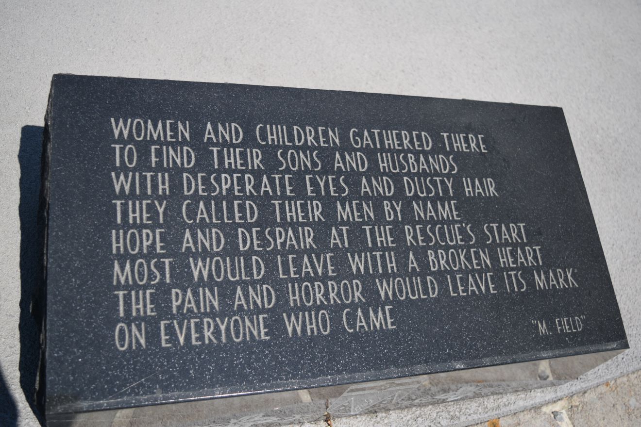
The explosion in the mine killed 189 men (aged 17 to 54)…… most of them laid to rest in this cemetery and many of them in mass graves.

It is an extraordinarily somber place to pass some time, pay respects to the souls buried here and reflect on the tragedies this area has witnessed.

The story is tragic and the arrangement of the cemetery is powerful and sobering as its story unfolds with the name plaques of all the men lost that day.

There were some positive outcomes from this awfulness. As a result of this incident, legislative changes included the implementation of trained mine rescue teams on every mine site. Regulations regarding occupational health and safety. Workman’s Compensation changed to a no-fault system providing better protection for victims and support for families left behind.. 

It makes the drive back past Frank slide with its similarly awful history just that bit more compelling.

There are days where it is good to be reminded of how fortunate we are and remember the hardships and tragedies of those who made our lives possible….and comfortable.
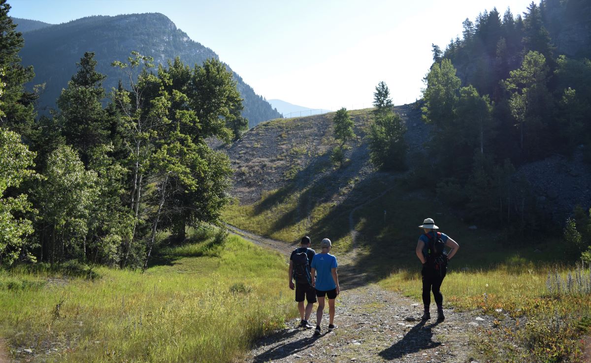
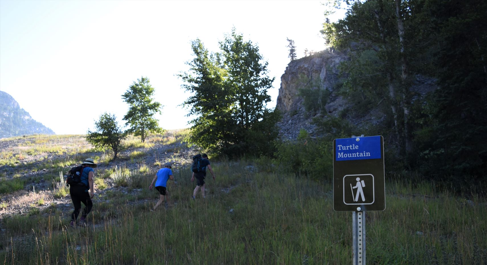
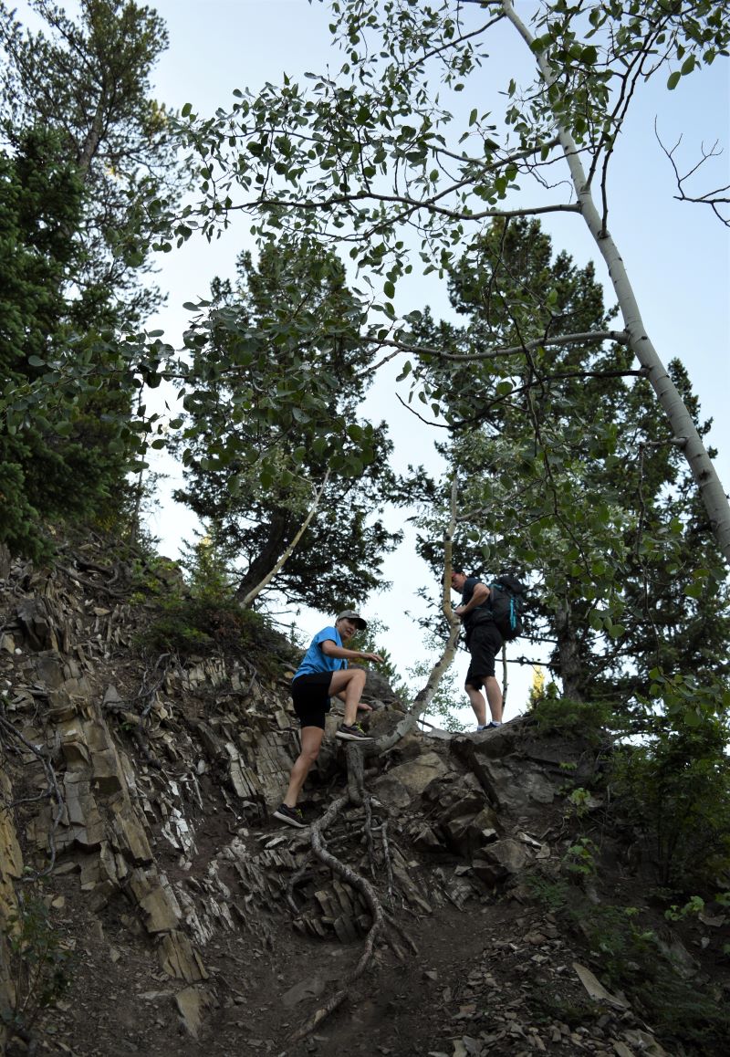
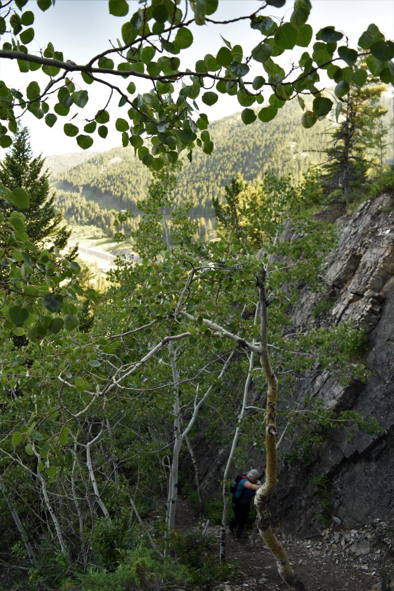
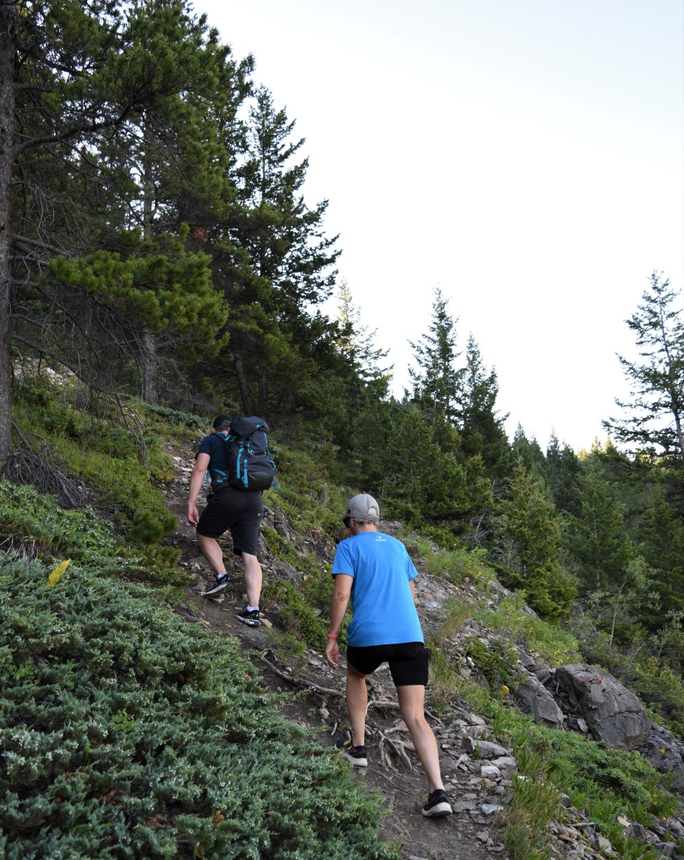
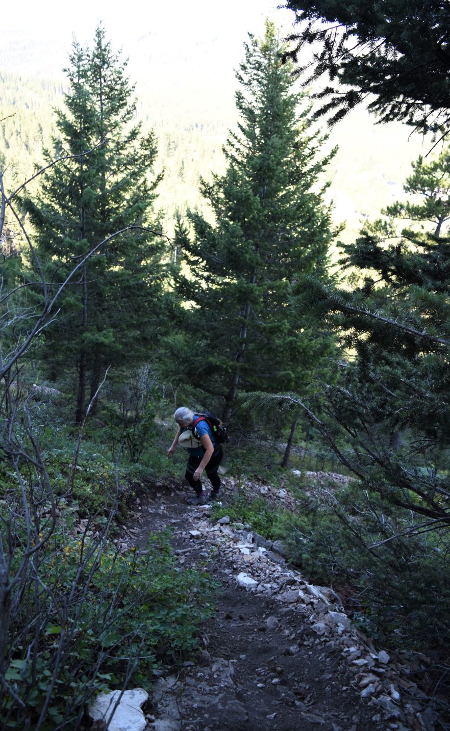
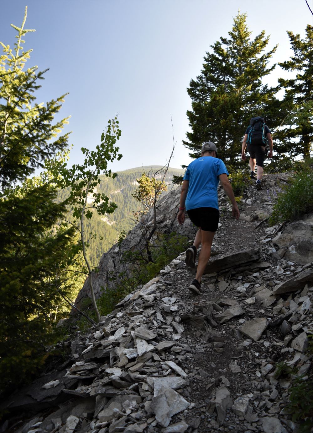
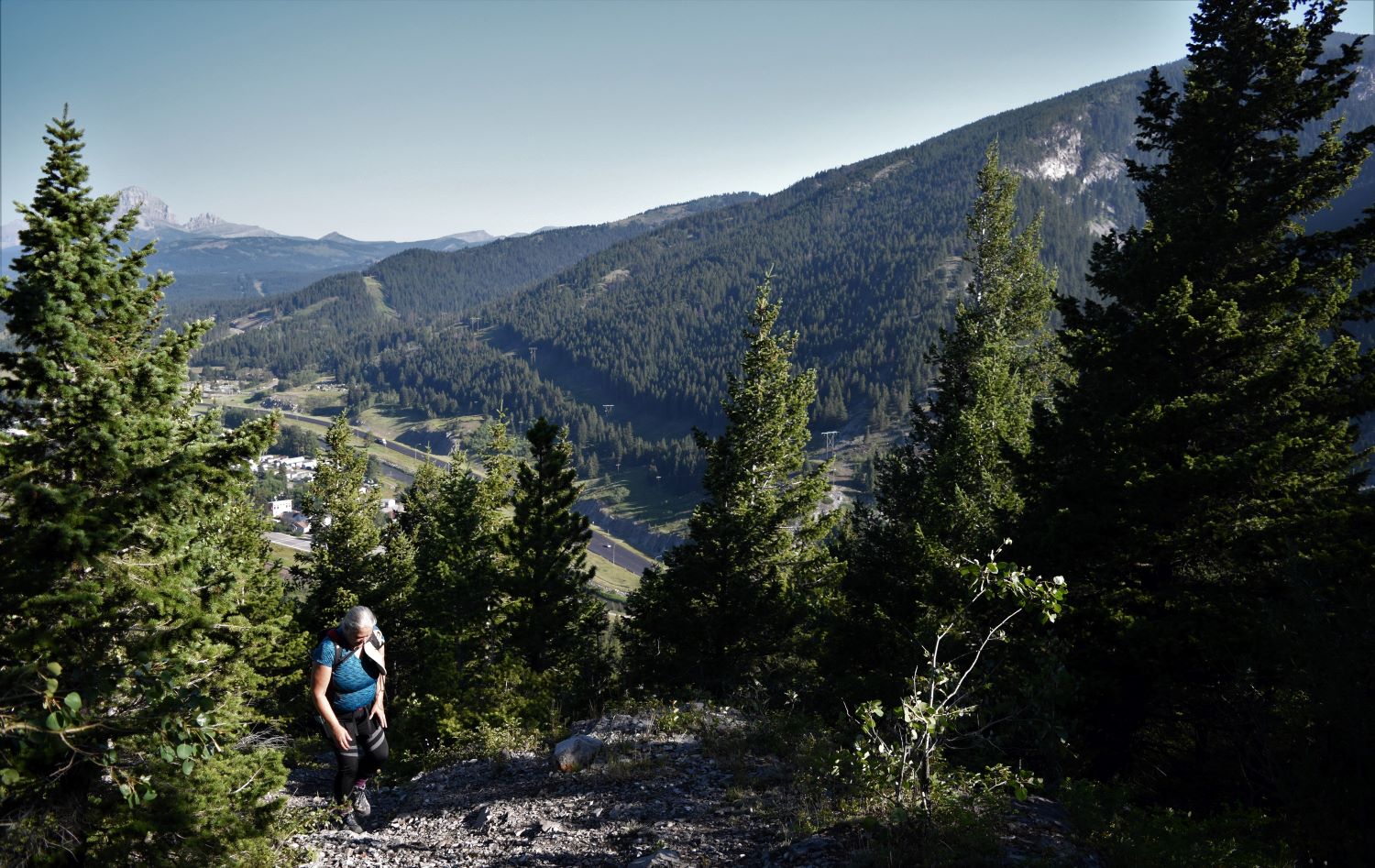
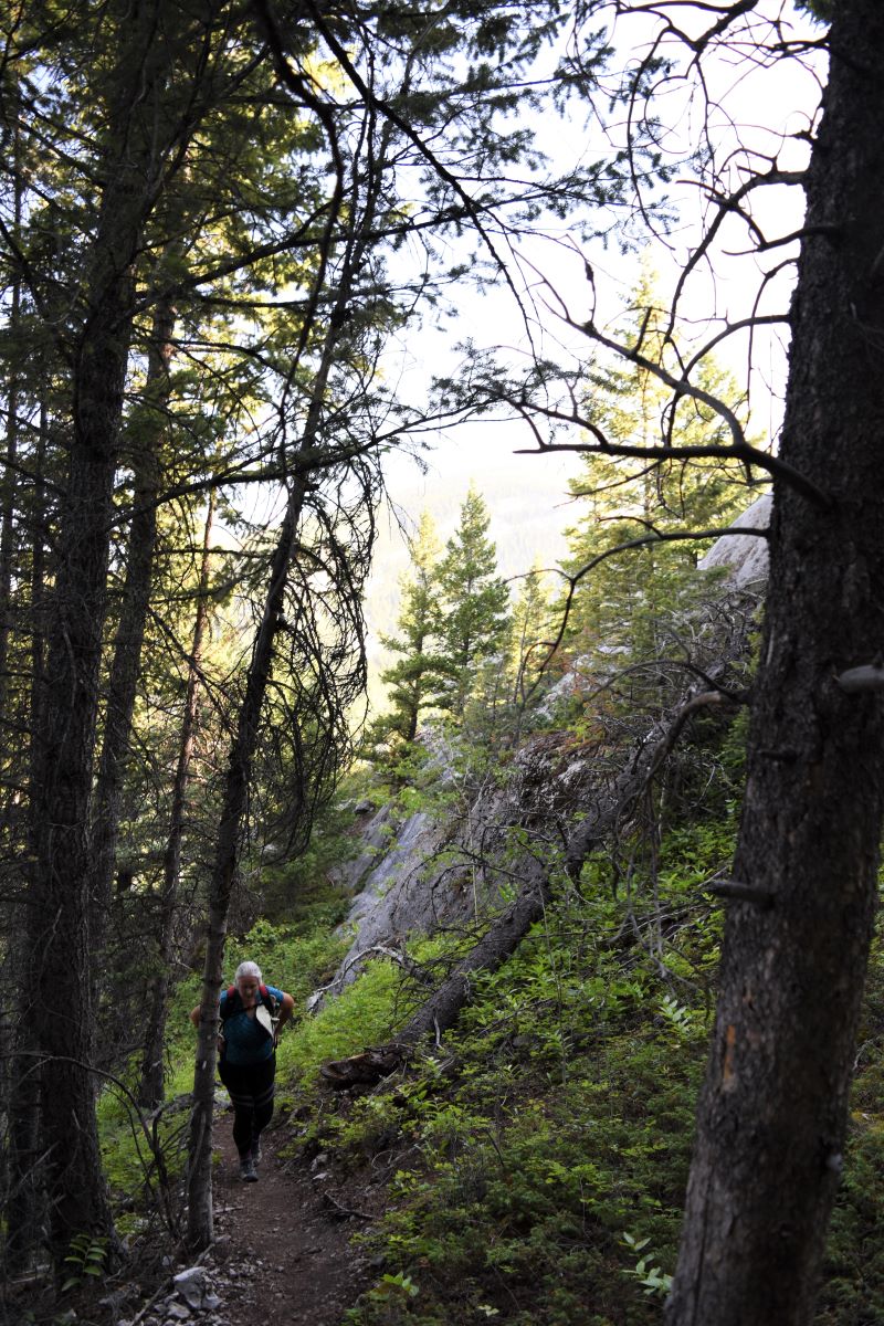
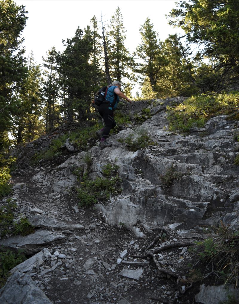
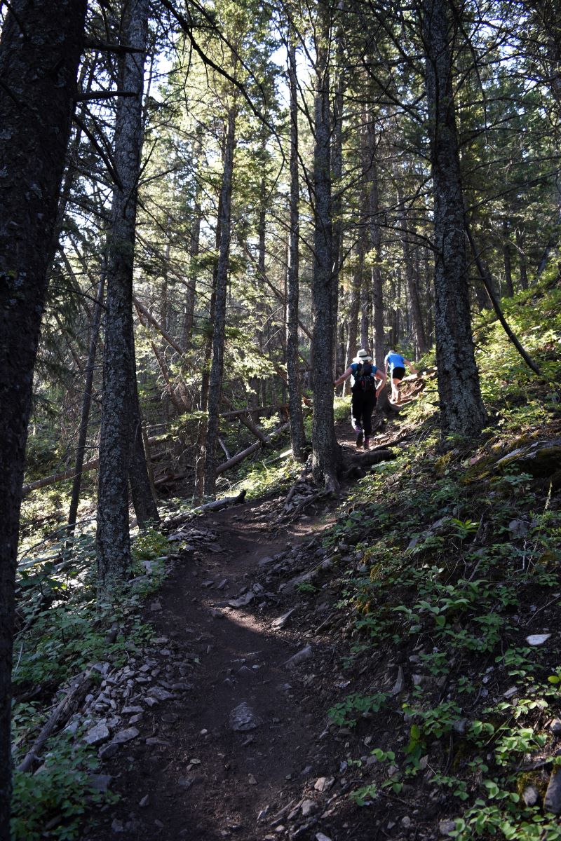
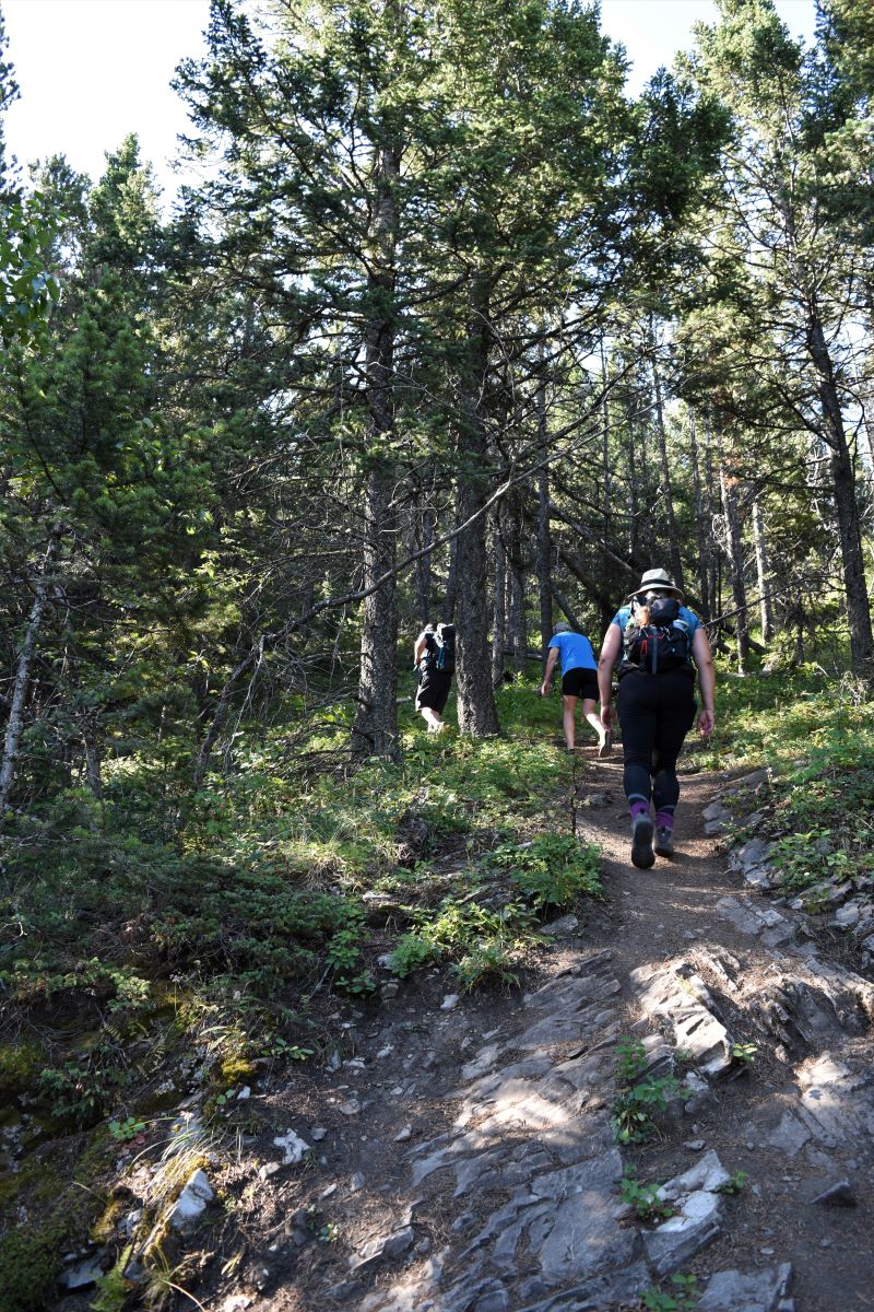
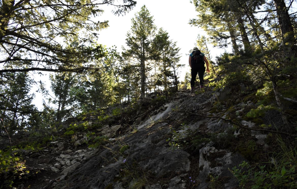
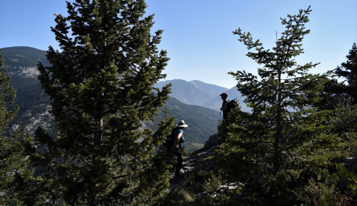
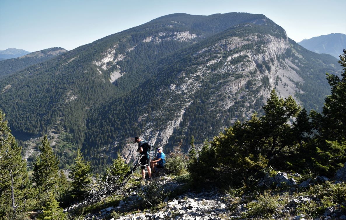
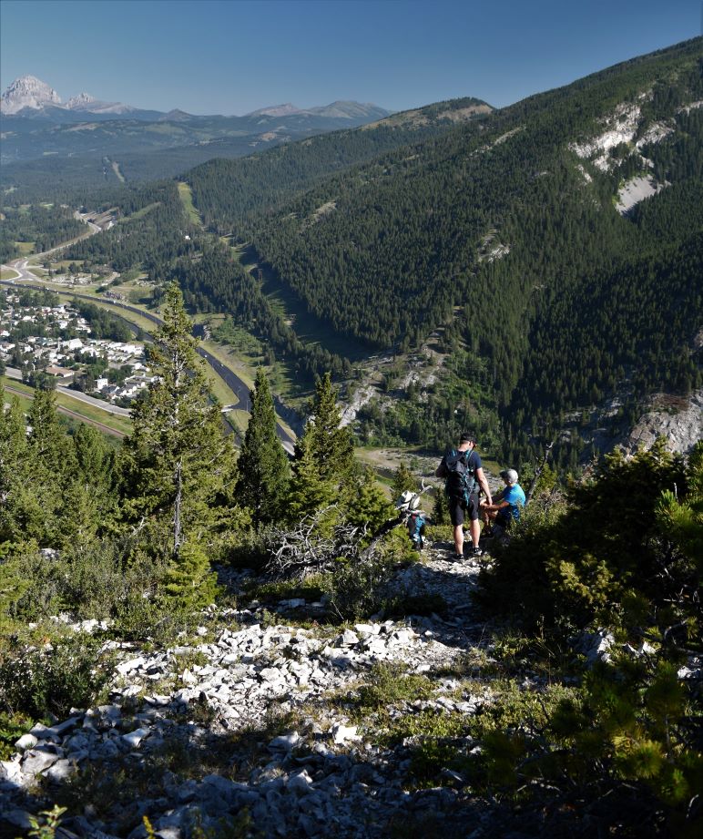
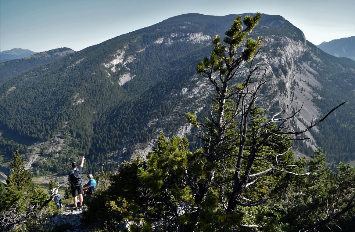
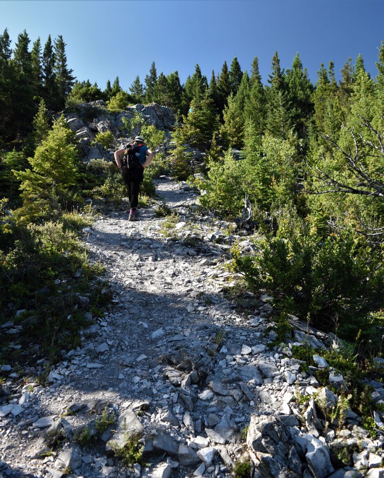
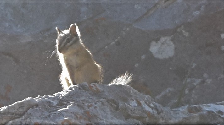
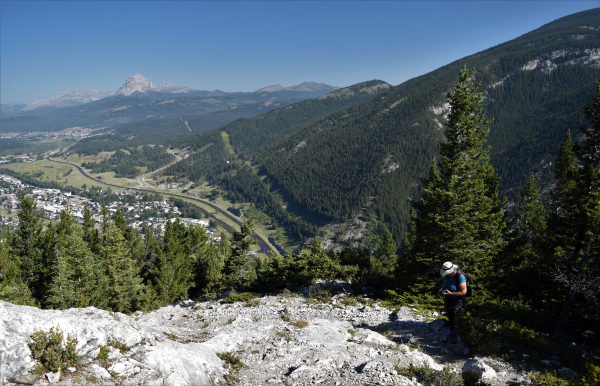
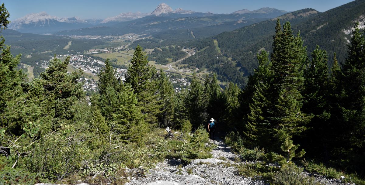
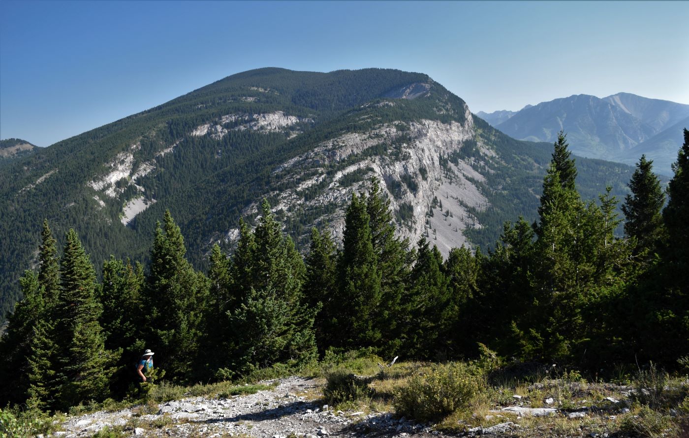
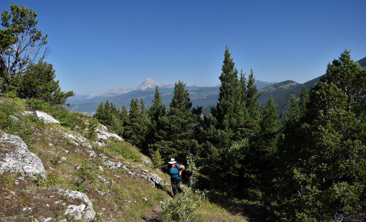
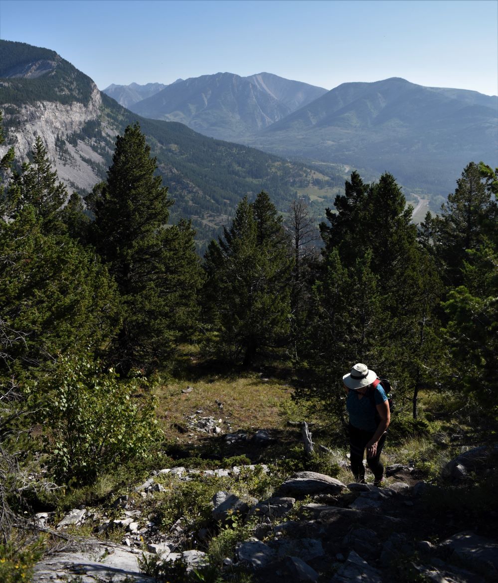
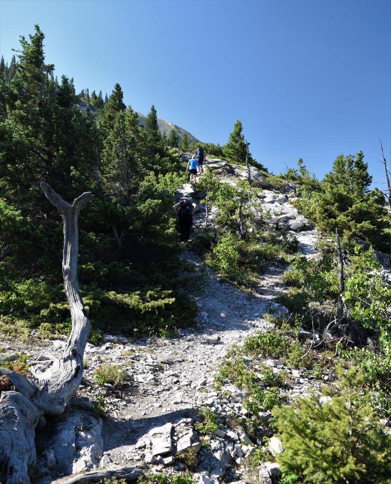
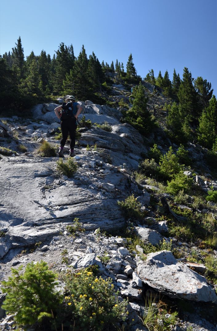
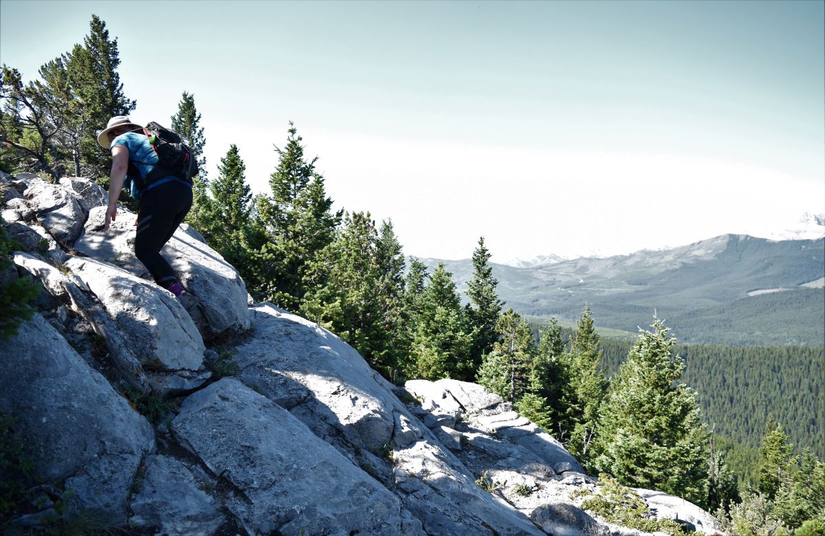
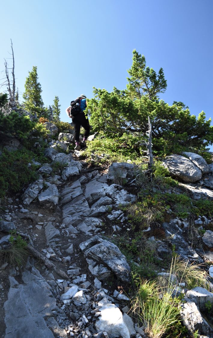
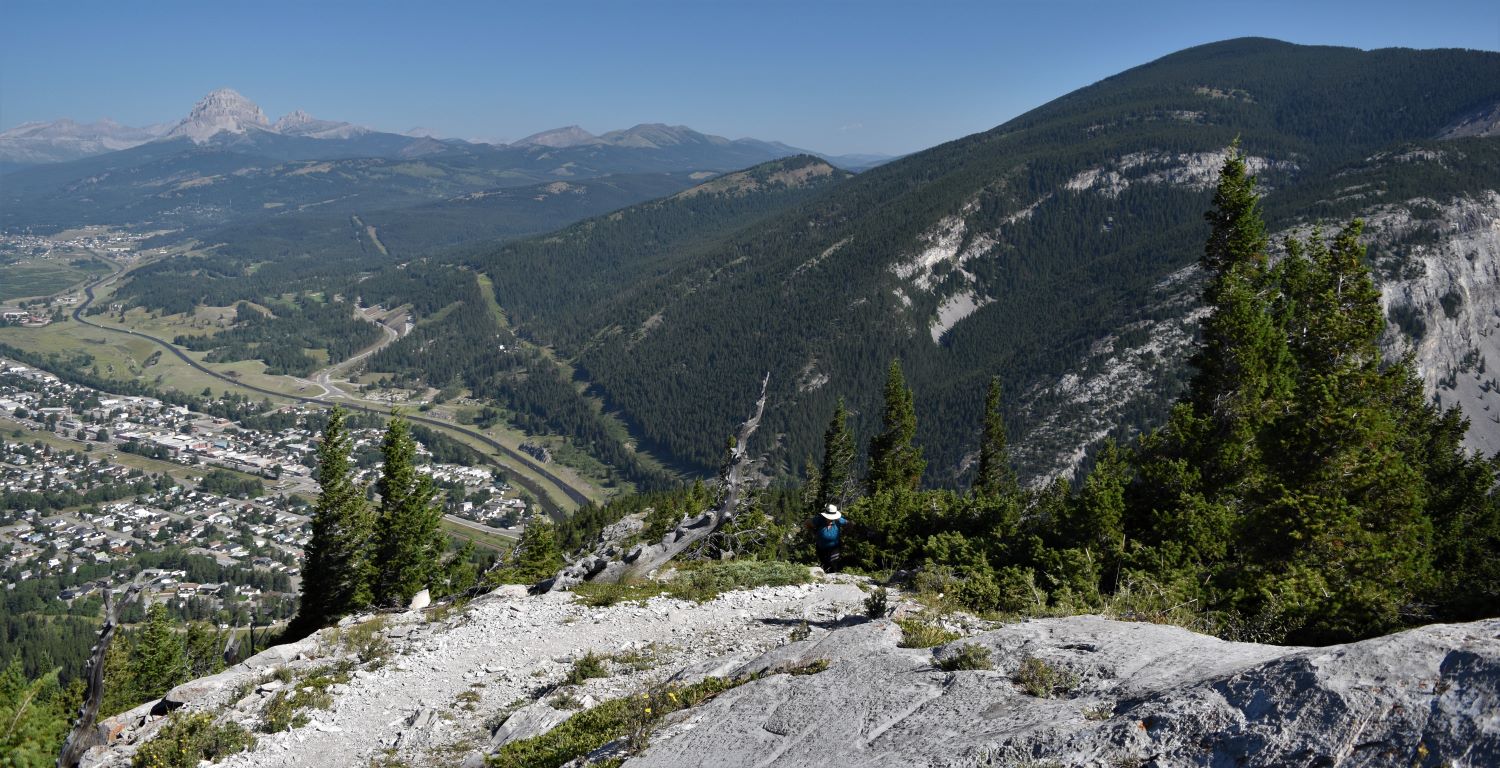
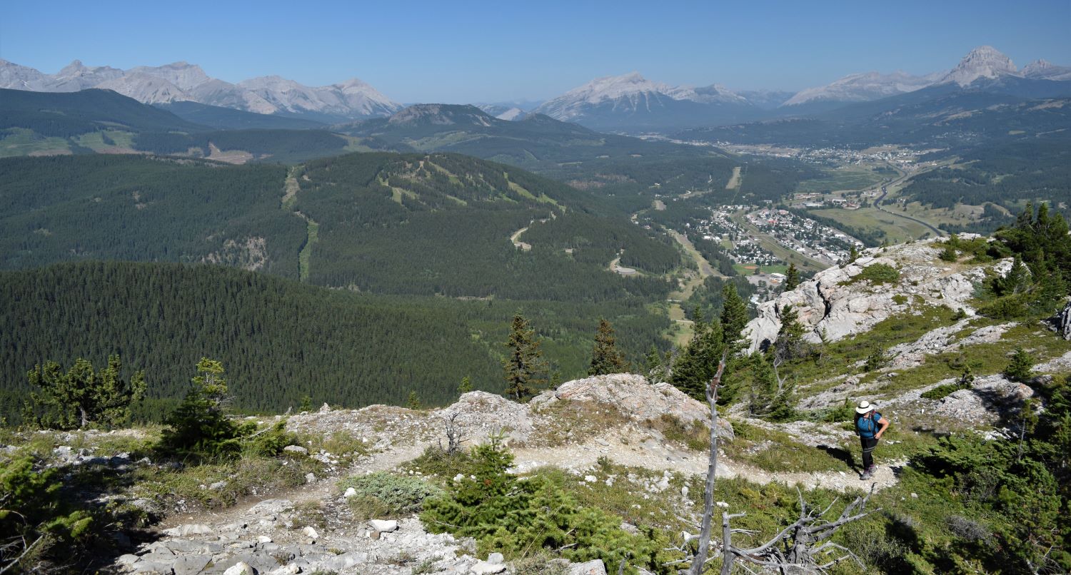
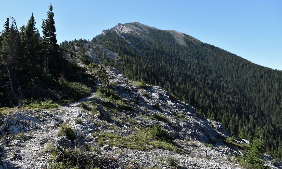
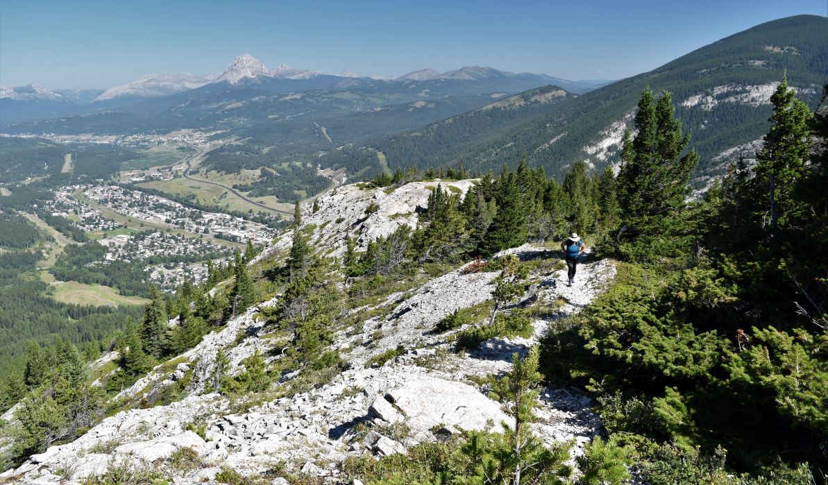
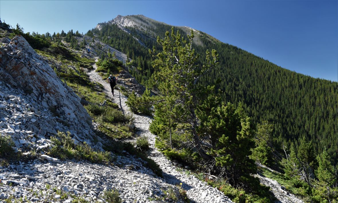
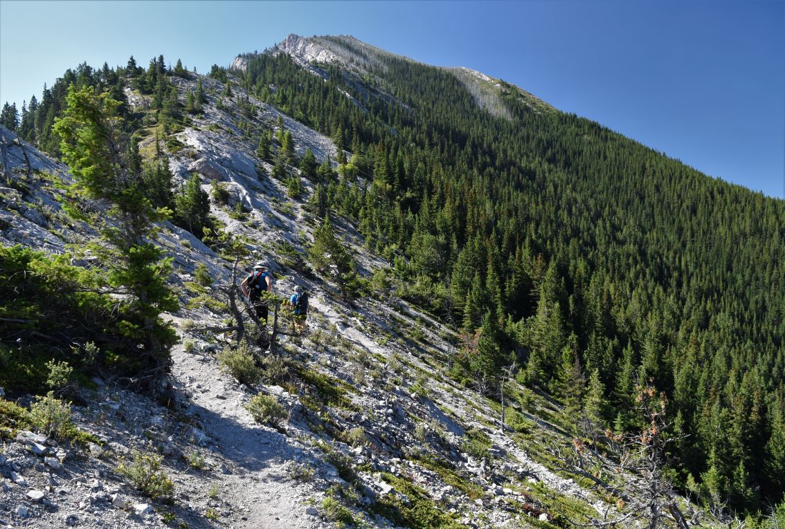
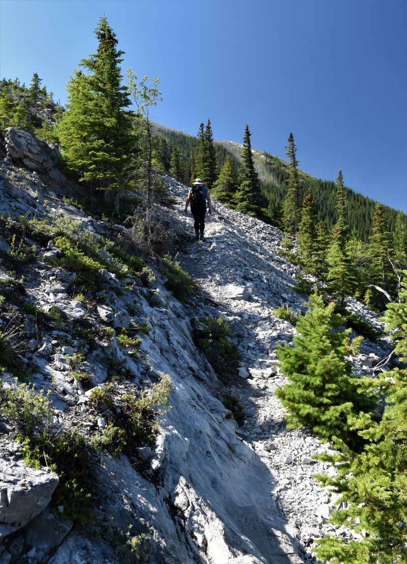
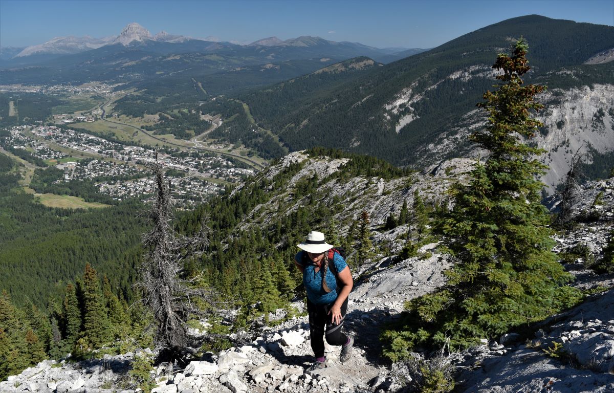
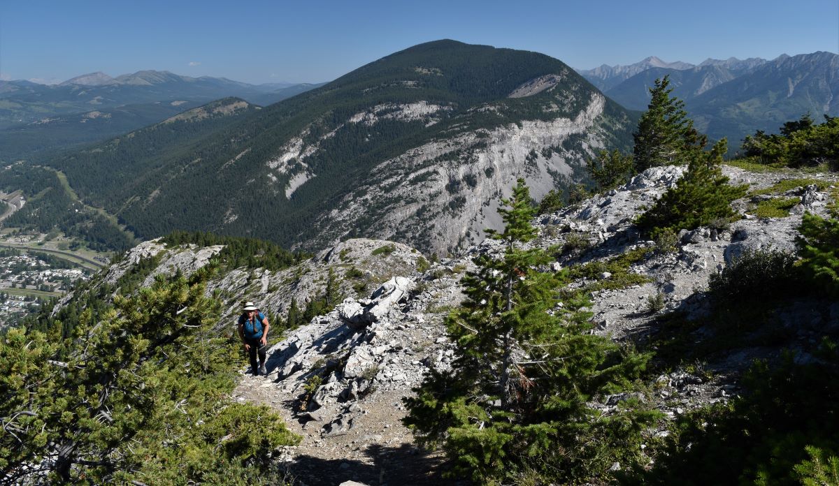
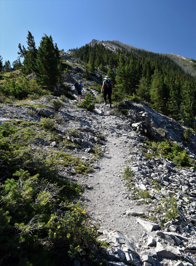
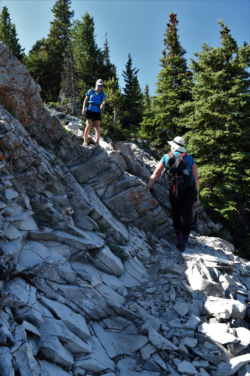
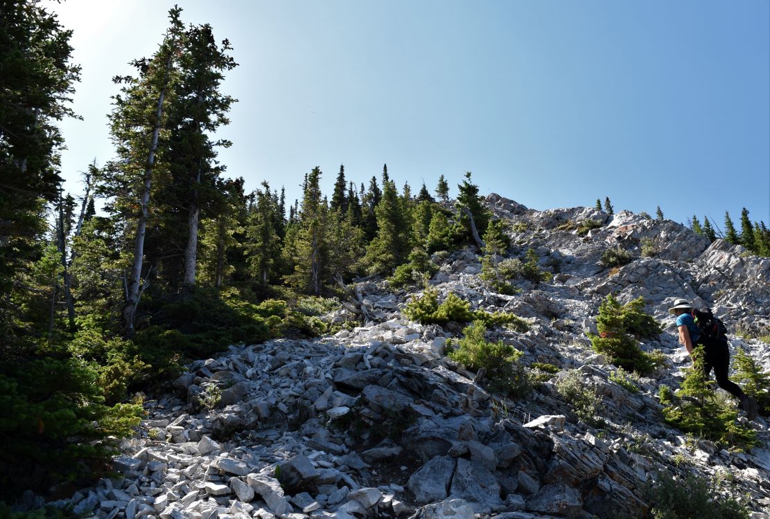
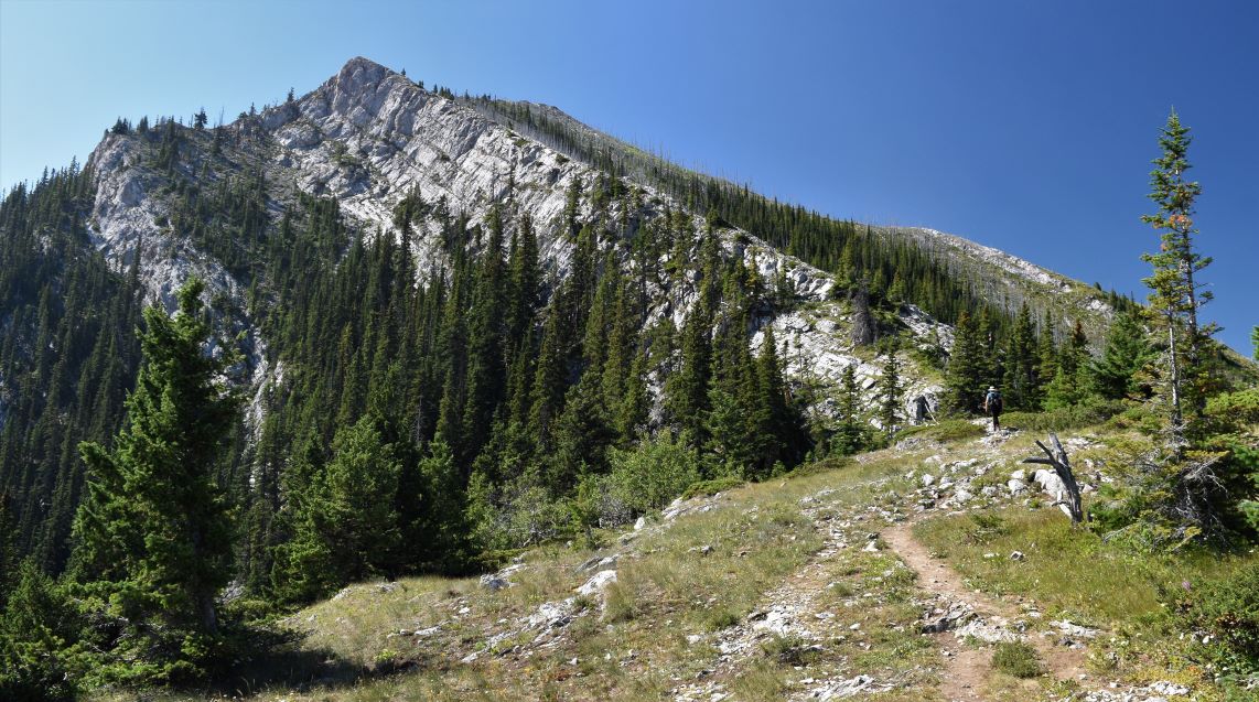
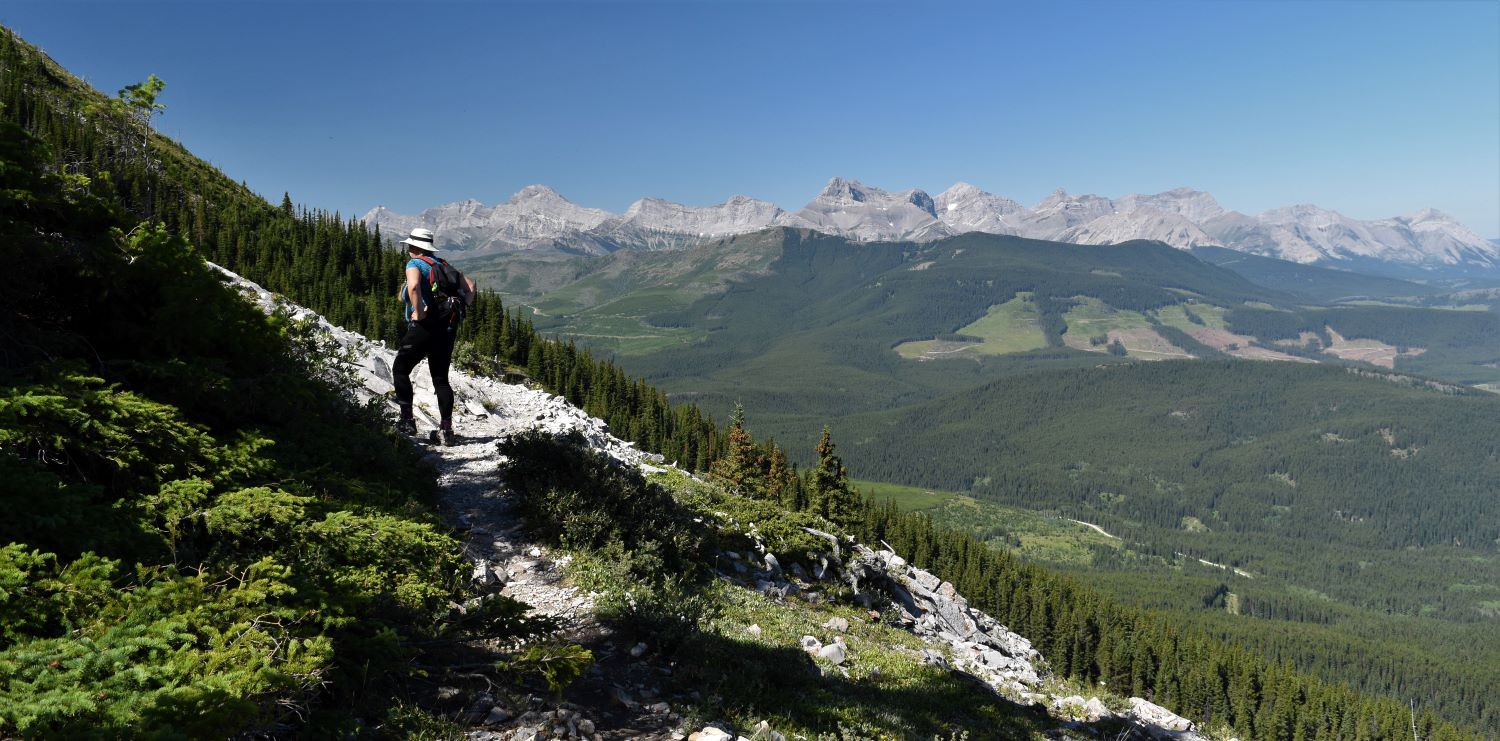
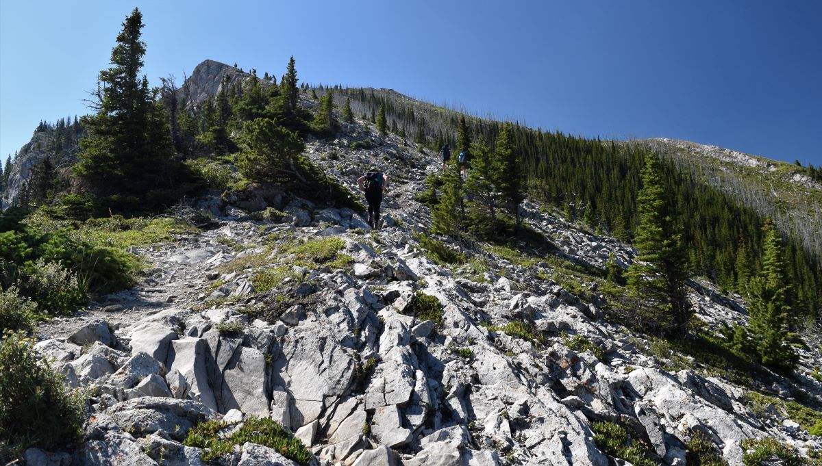
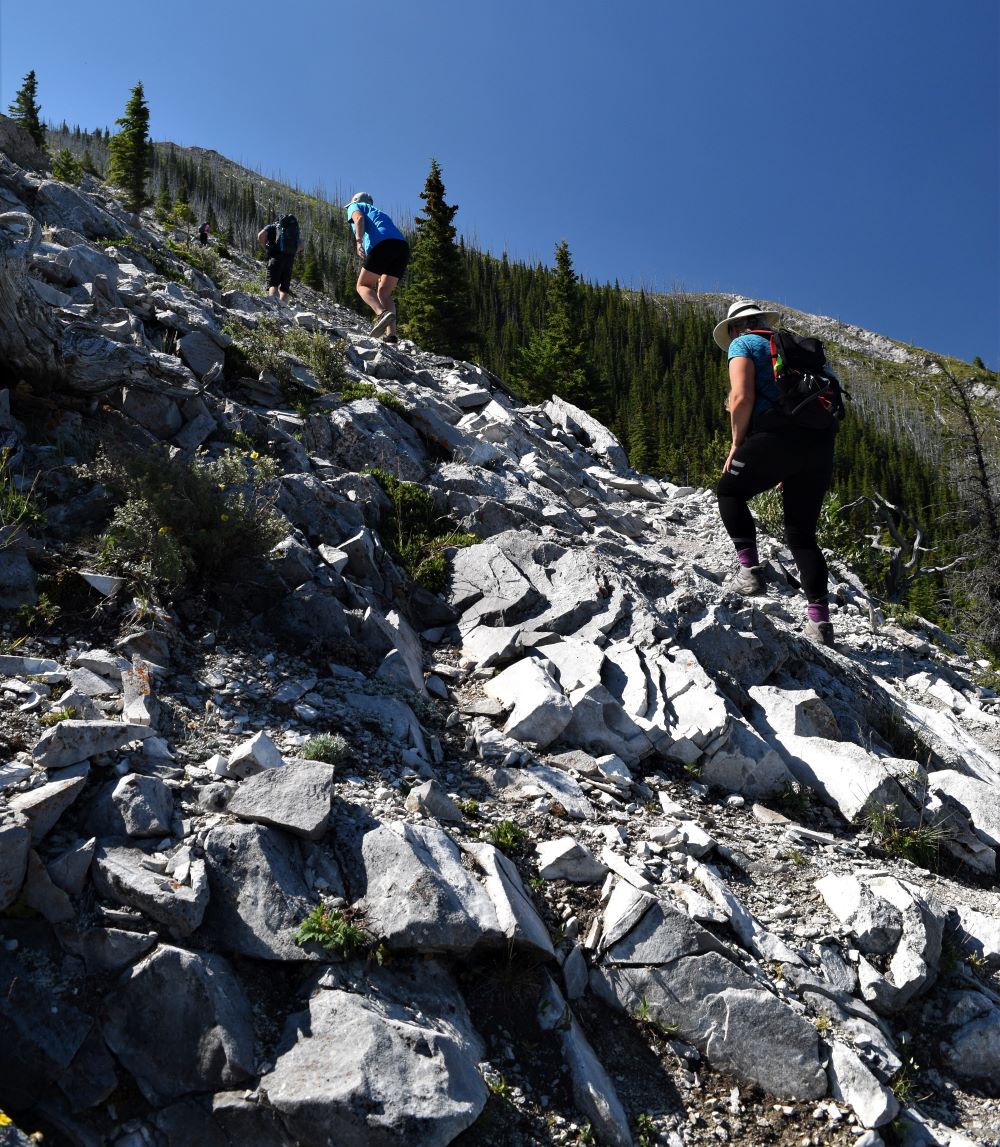
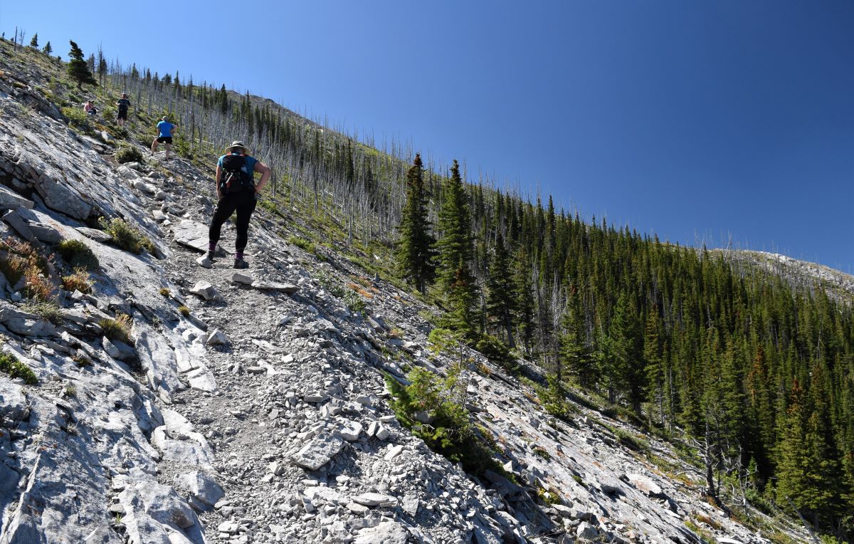
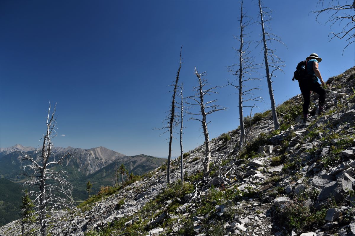
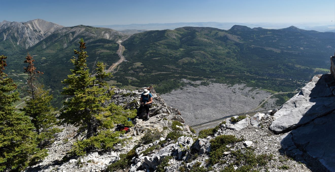
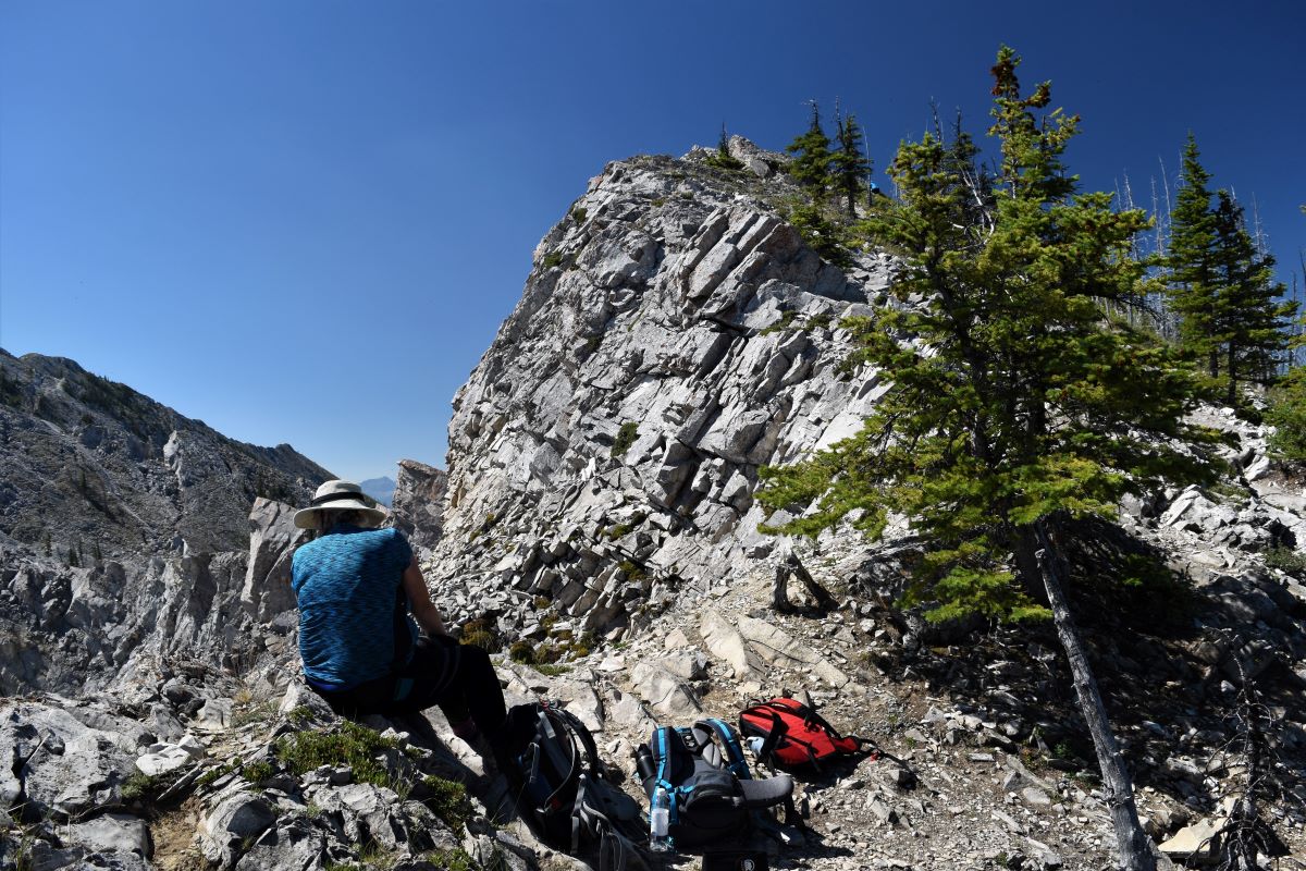
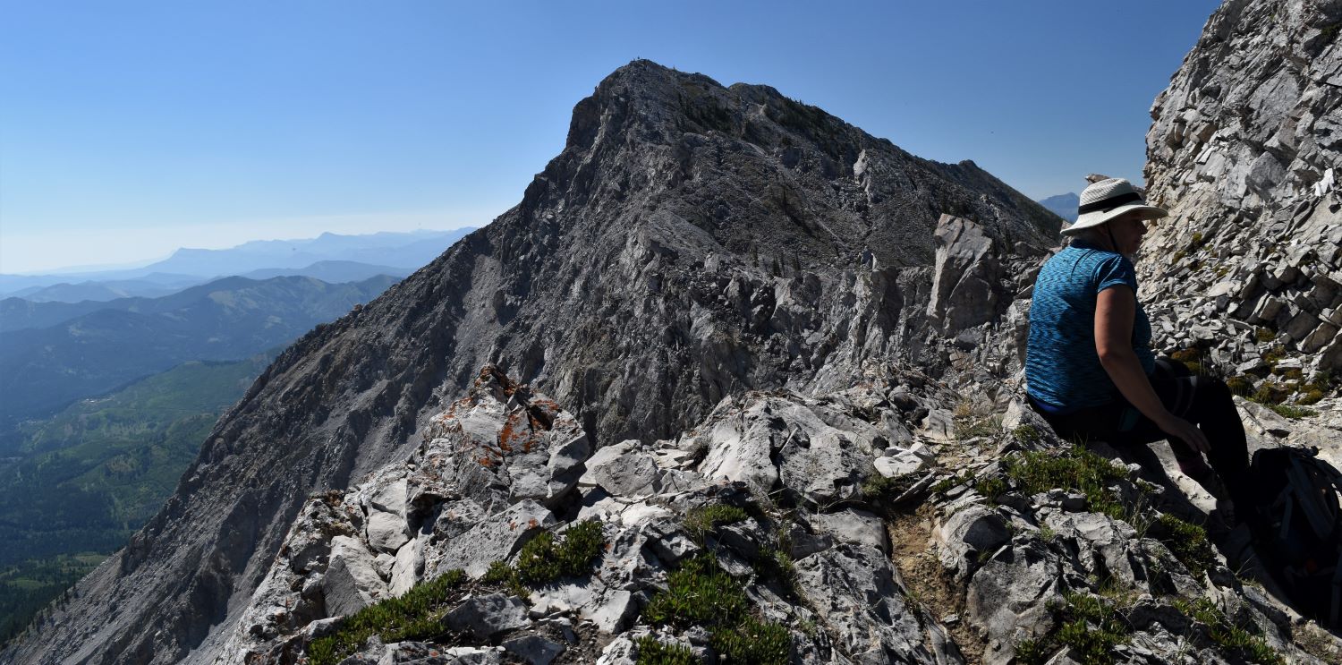
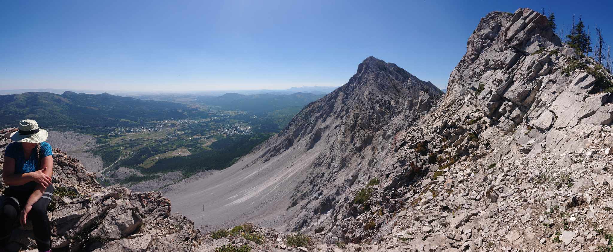
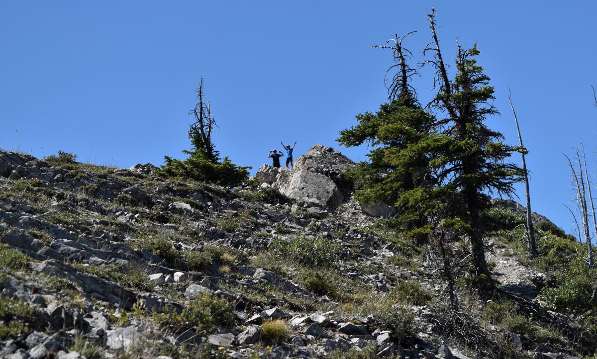
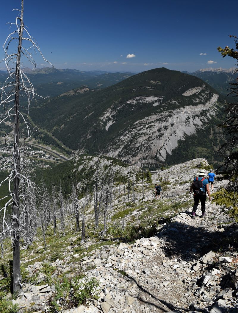
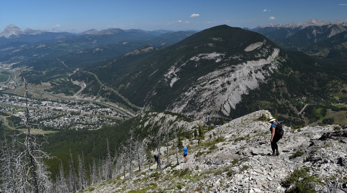
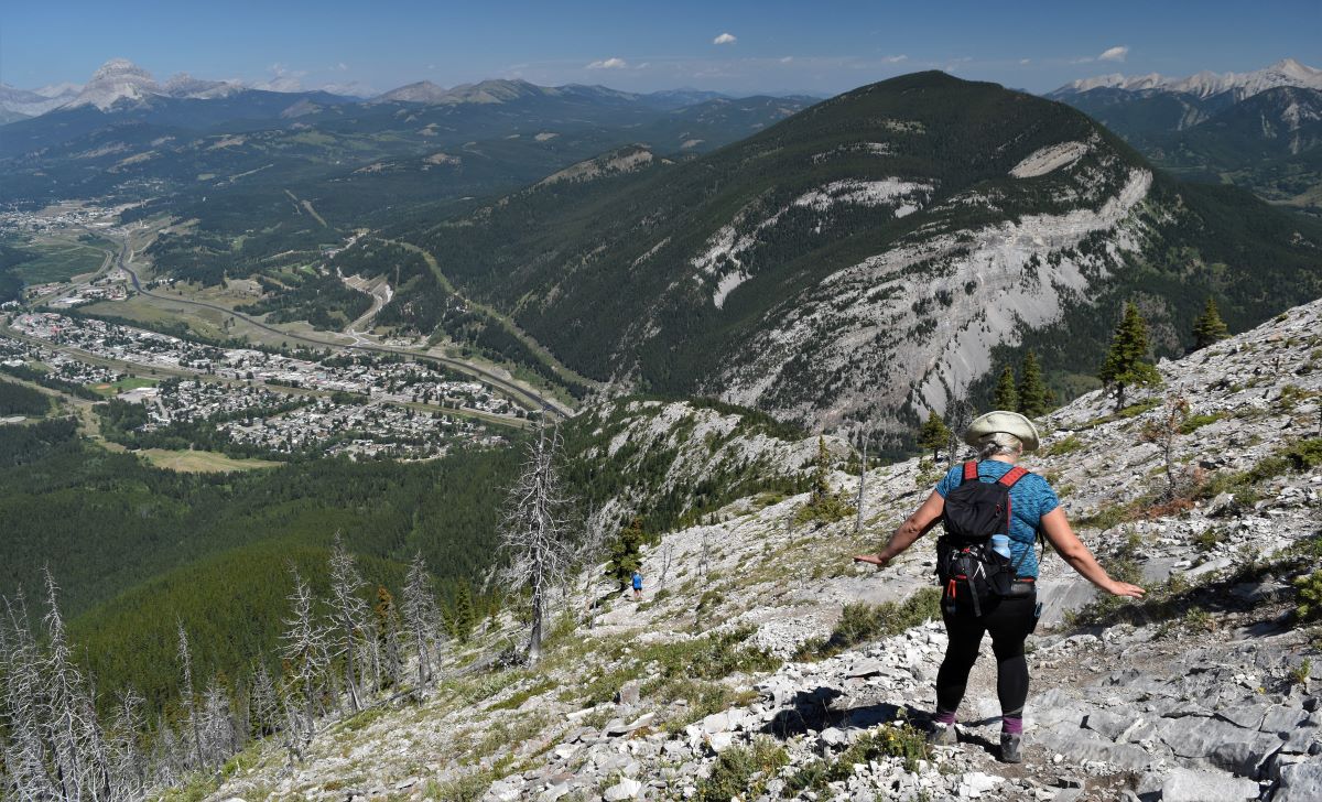
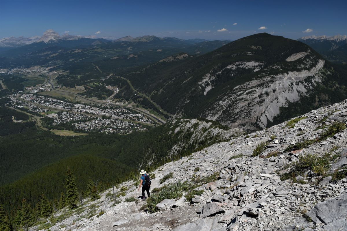
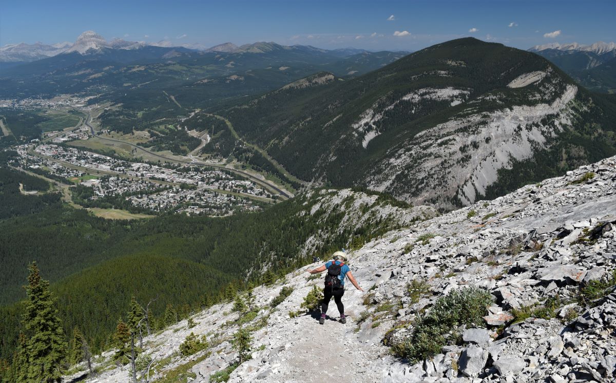
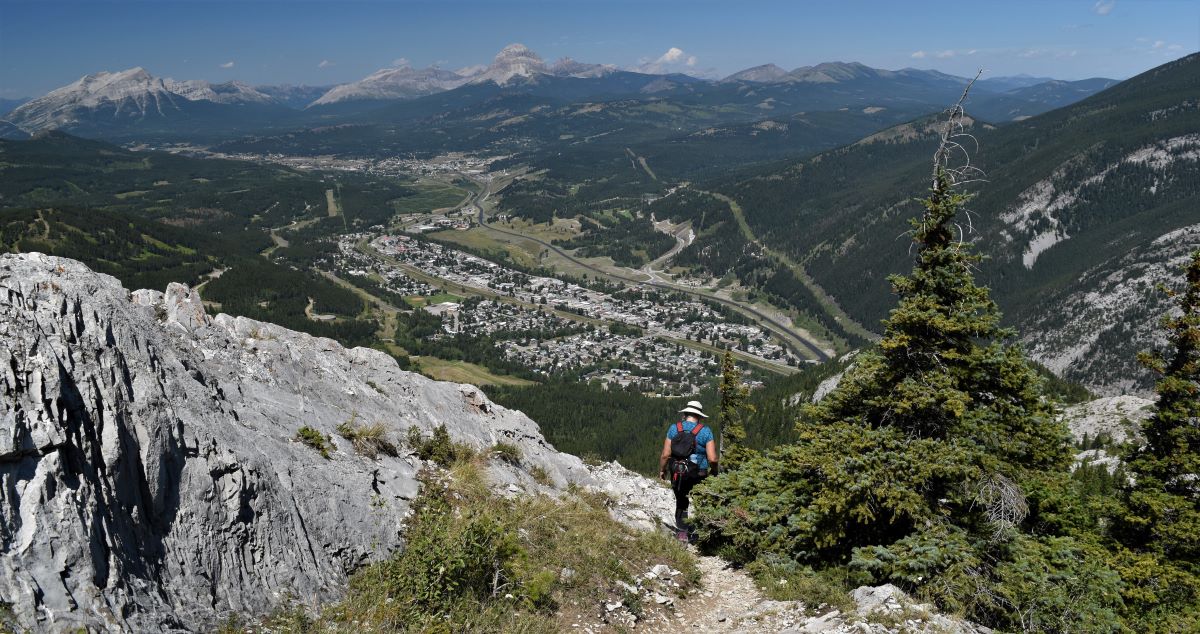
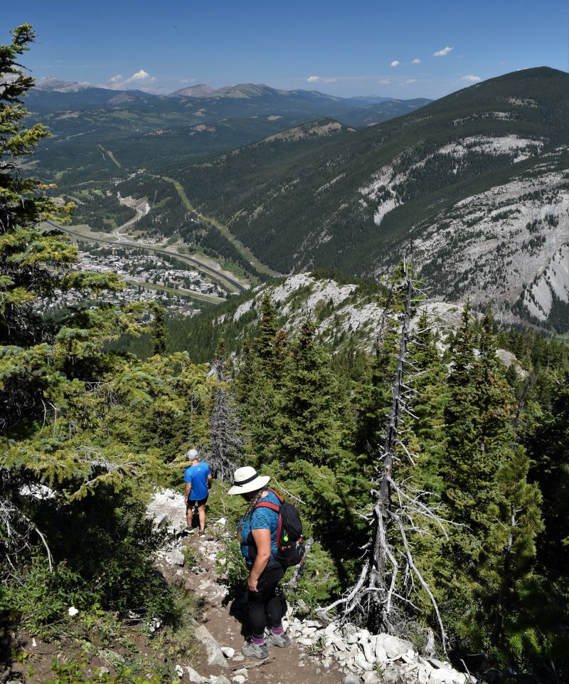
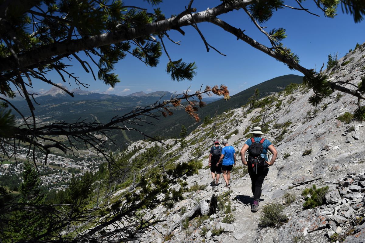
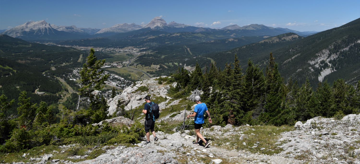
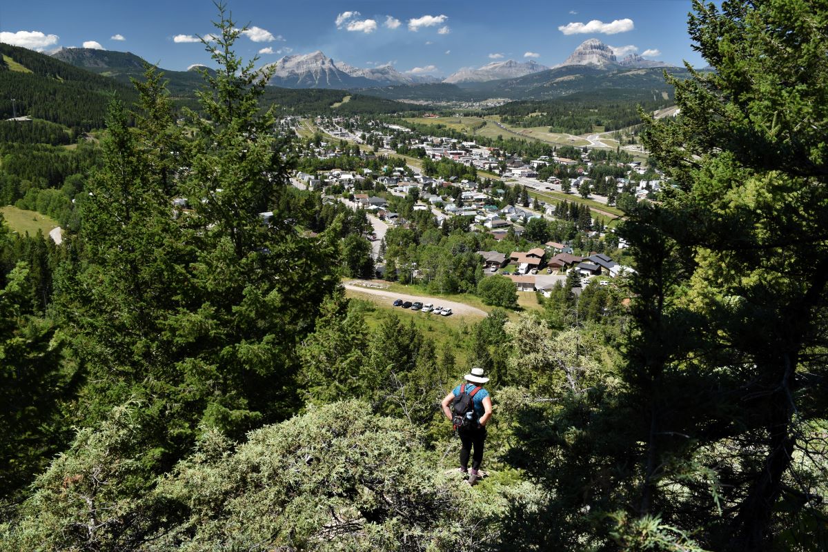
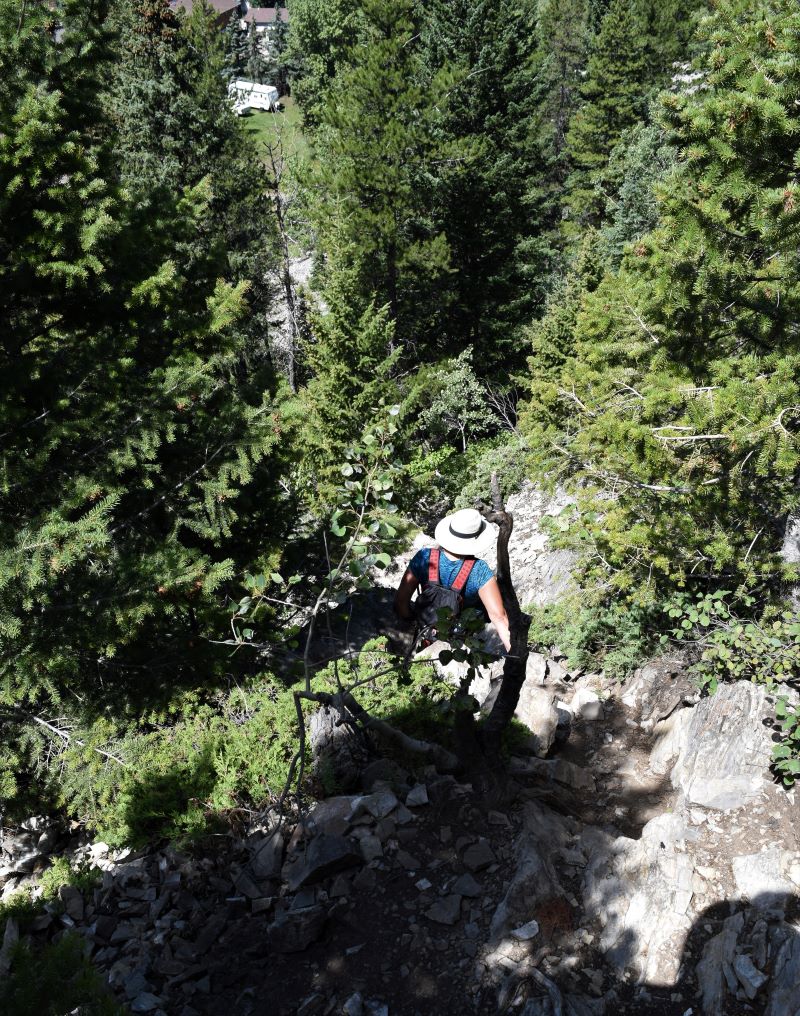
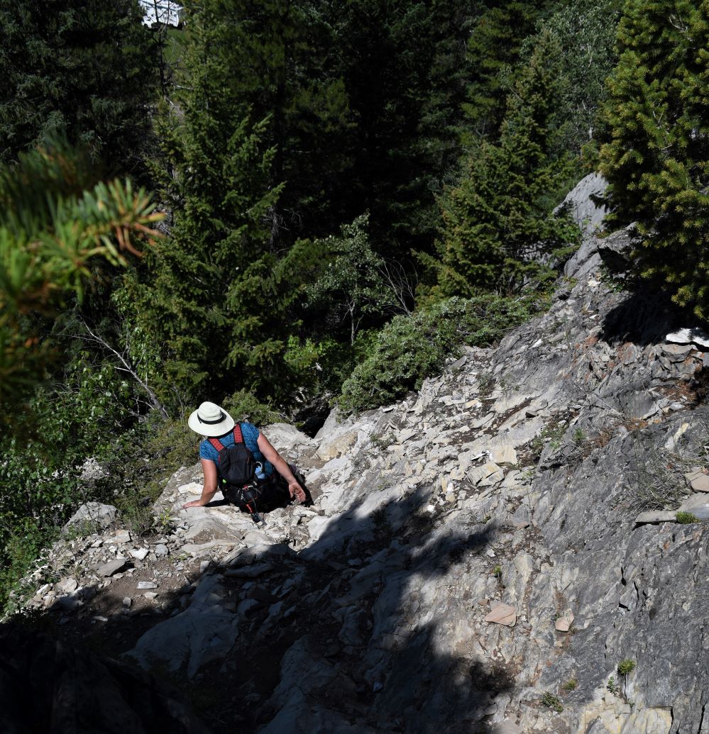
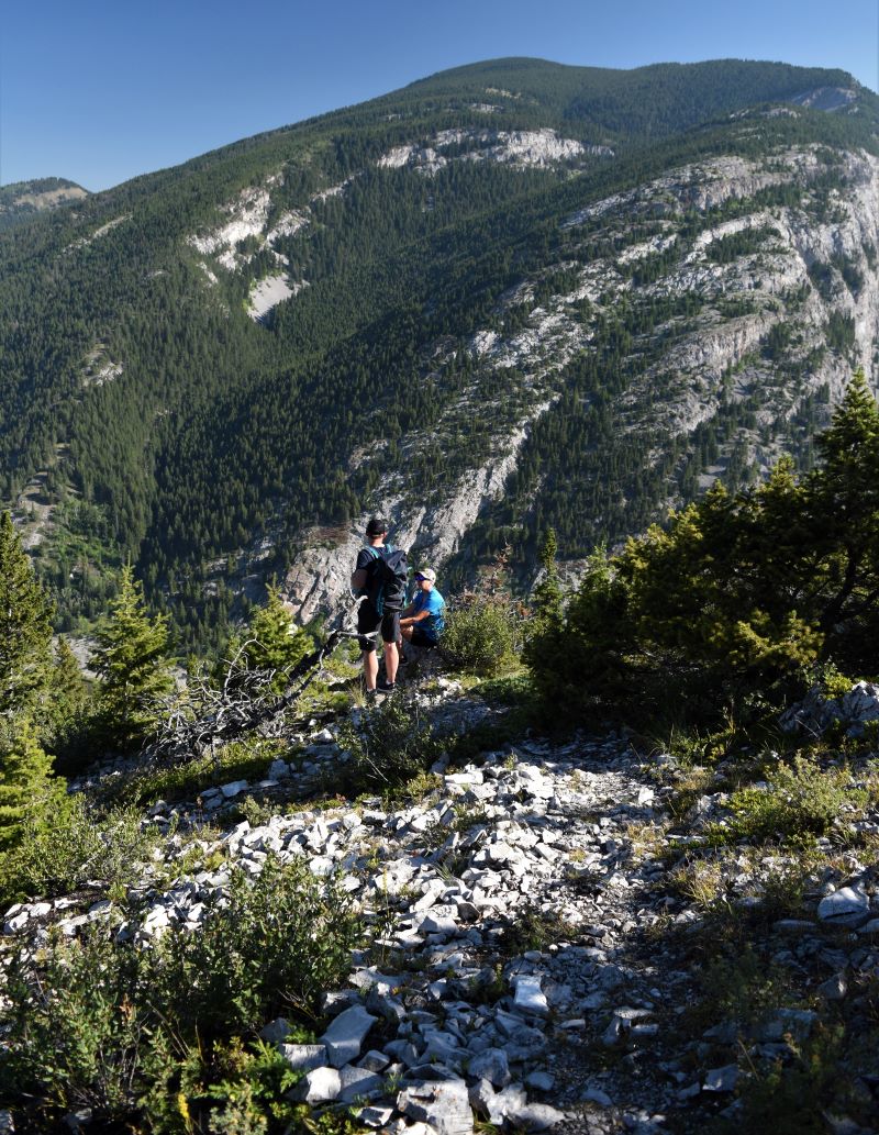
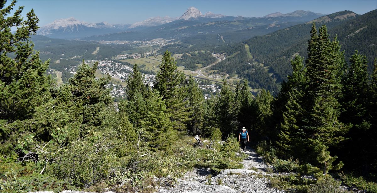
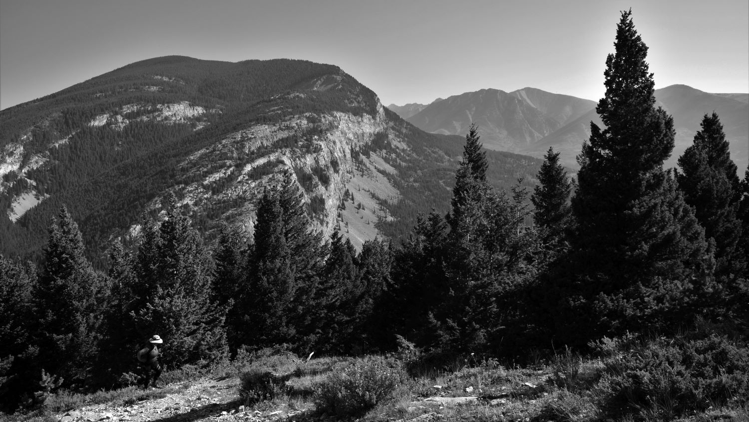
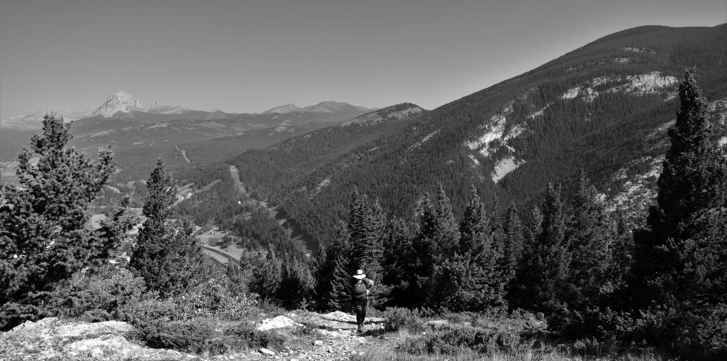
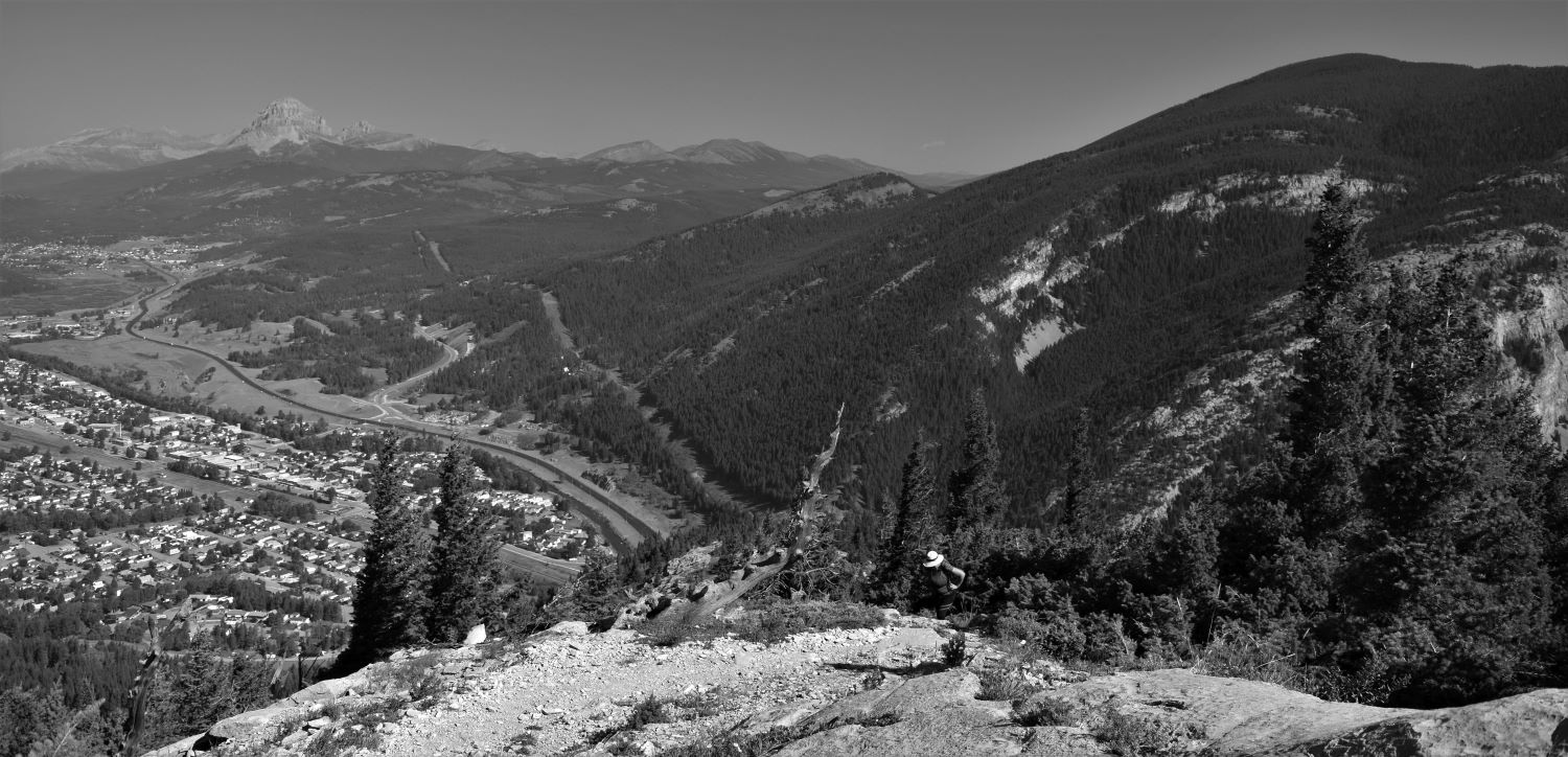
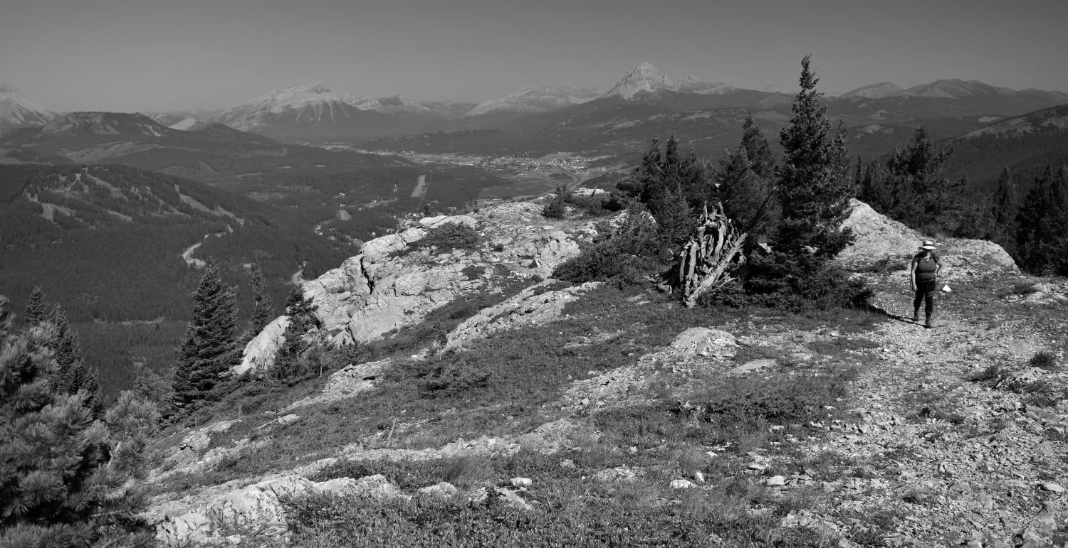
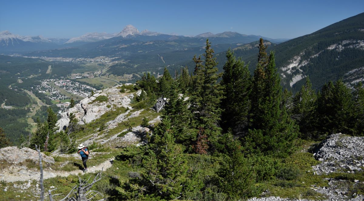
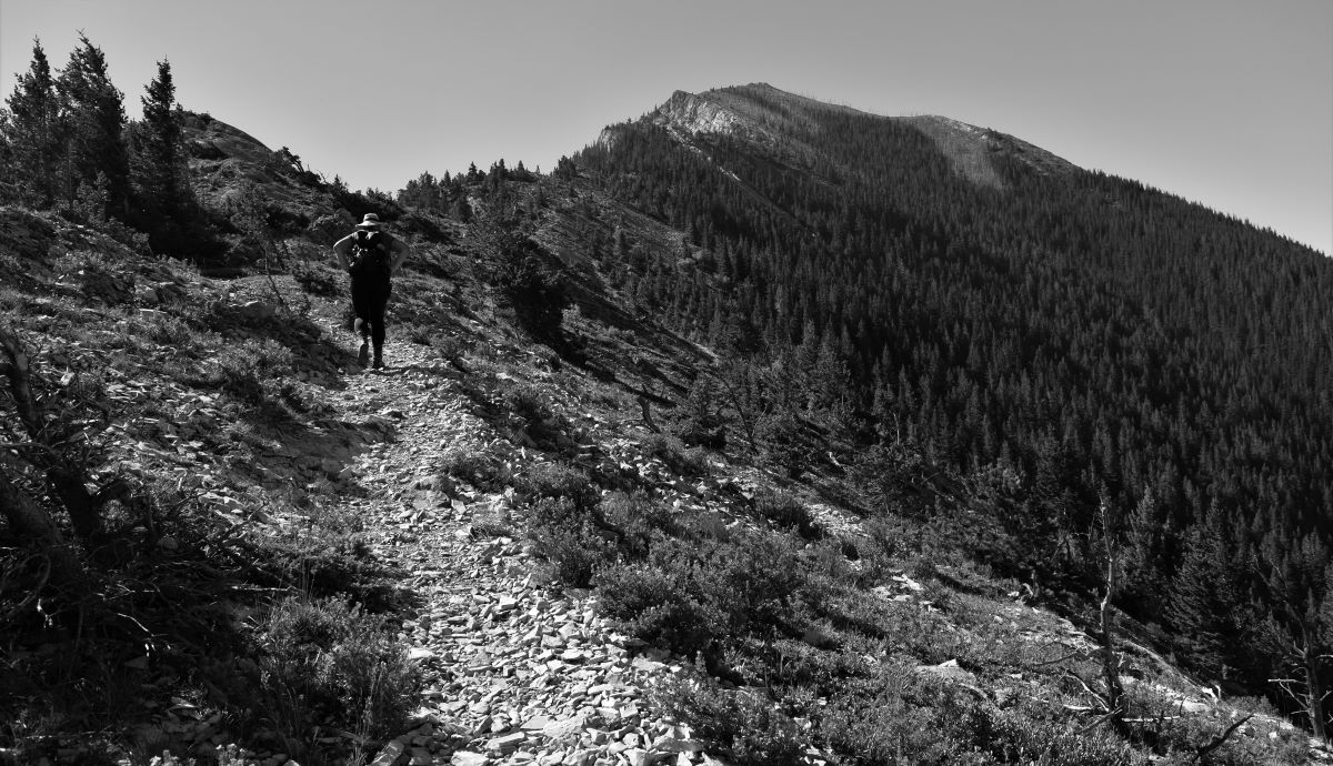
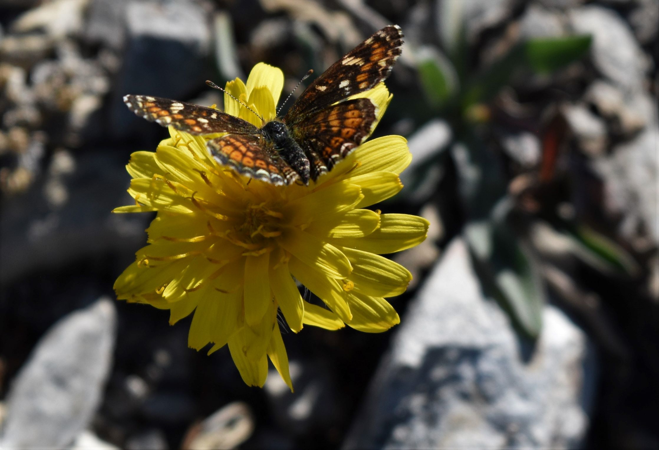
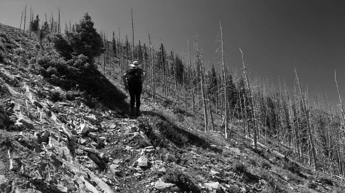
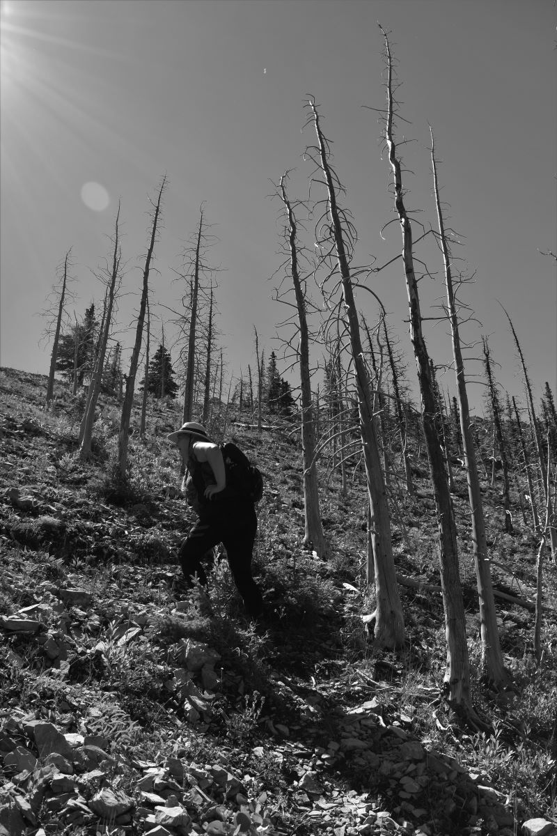
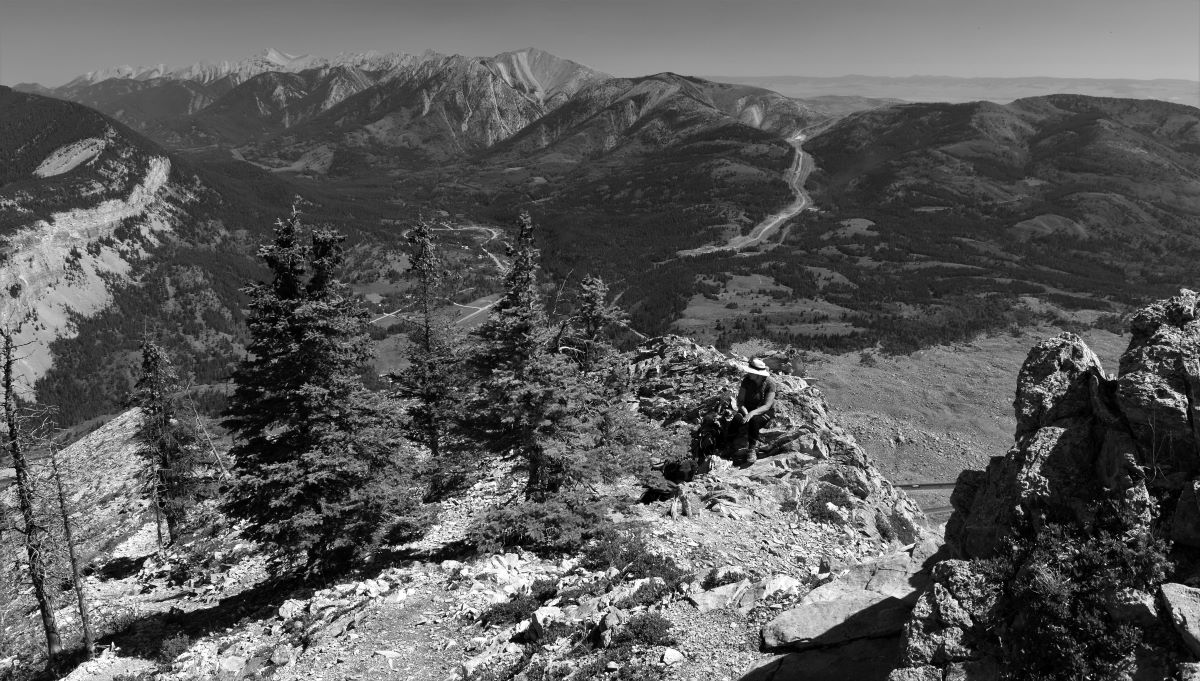
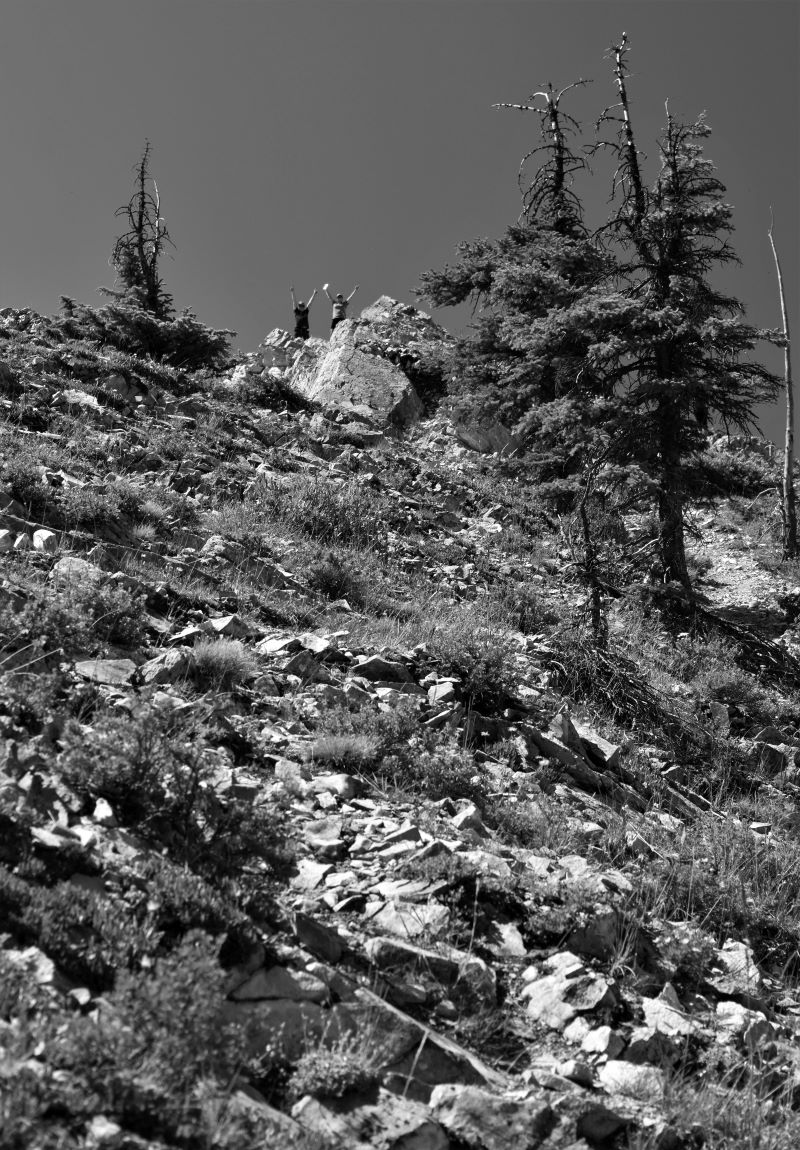
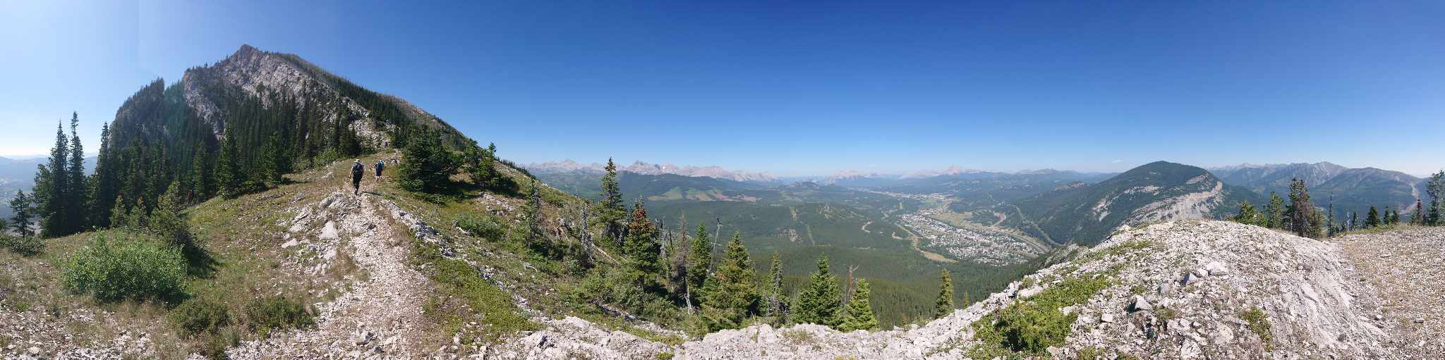
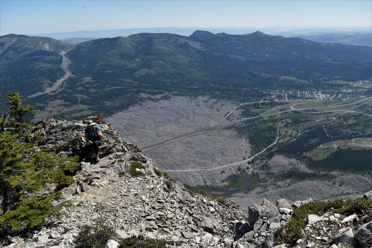
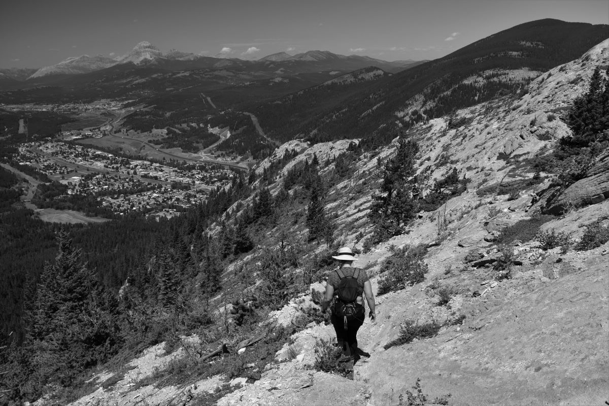
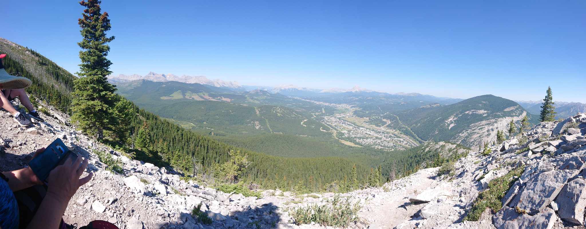
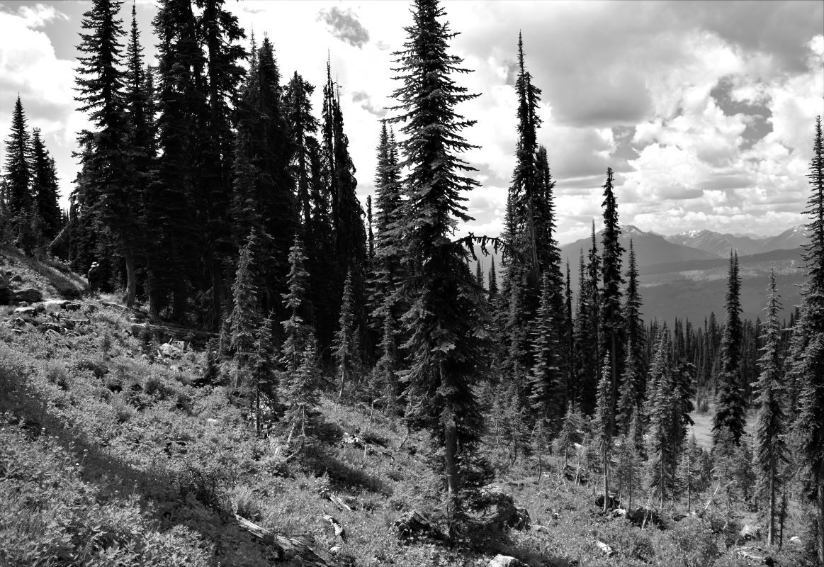
Extra Pix

Coal Mountain and ghost towns

After that epic trip up Turtle Mountain….a quieter day seemed like a good idea.

It was time to spend a lazy day doing not much but dabbling our tired feet and legs in the creek.

The following day, we could not justify sitting still some more, but we were definitely not ready for any big ambitious hikes. Scott had been looking at some interesting ghost towns in the area and seemed like a change of pace with some potential of coolness.

The Crowsnest has been extensively mined for coal from the early days of the railroad to more recent and modern extraction of resources. As you drive west through the pass there are mountains that have been taken apart and put back together in the interests of removing the black stuff.

The first town on our list was Hosmer (click), near Sparwood. Sparwood is very much a mining community ….as you drive through the town there is a huge disused mining truck sitting out in a park as a tourist attraction.

We stopped where the GPS indicated the road to Hosmer should be right by a derelict looking seriously sketchy building (that we were later informed actually still operates as a pub…..!! 😲)

With the help of a local lady who was walking by we did find the road to the remnants of the Hosmer Mine which is now set up as system of walking and ATV trails.

It looked like the truck might not fit….and you definitely don’t want to meet anyone coming the other way….. but heck…having packed our seasoned sense of adventure …why not…!!!

There are quite a bit of the old buildings still standing, and the trails are well marked with information boards and posts.

With a promise of more ‘stuff’ up the incline we tackled the aptly named incline trail. There were rewards at the top with a house/building…….

…and more bits of the mine workings still evident.

We completely failed to find any part of the cemetery…but I did find a link online which suggests that there is more to see there…. the grass was tall (and those horrid little seeds get in your shoes and socks) so we gave up and headed out to the last bit which was the ‘tipple’ (I had never heard of a tipple either..!!)

Morrisey (click) was the next mission……

We found the trailhead and followed the logging road up to where the mine used to be. We were unsuccessful at finding any part of the town or the mine site. But there were some really healthy wild raspberries ….. 😁

Next stop was the town of Corbin (click). The townsite is up the road to Coal Mountain.

The mine was still in operation ’til very recently and is now used for training people for their other sites. The town itself is a combination of very old disused buildings from the original town and more modernized small houses that look like vacation/hunting cottages and very much in use. We were careful not to trespass.

With a stop on the way back out of town to see some of the older mine workings. (the newer part was through a private gate with active security)

The drive up to Corbin was quite beautiful and a very remote quiet road. All in all it was a good way to spend a day.

Extra pix

The Turtle and the Crow.

If this sounds like the title of a cautionary fable, it probably is. …and it probably includes the follies of challenging young people (who move like mountain goats crossed with Jack rabbits) to climb scary mountains.

We were back in the Crowsnest Pass, Blairmore Alberta to visit with friends Jordy and Tanya. Two lovely people we met on our first trip through the Crowsnest pass.

We arrived in town in time for the first annual Crowfest (unbeknownst to us at the time) in Blairmore, Alberta. The festival included live bands in the park, a vendors market…..and a beer garden with brewskies from two local Craft brewers…..The Pass Brewery (click) and Oldman River Brewing (click). Both of these breweries make mighty fine beers by the way.

Photo op with the Crow…!!!

After some socialising and a couple of adult beverages it seemed like a good idea to have another go at Turtle Mountain (click). We had attempted this one on our previous visit….and only managed halfway partly because of weather…but mostly because it was a very steep hard climb that we were not really prepared for (well I wasn’t..!!)

So…early morning start to try and beat the heat of the day……we convened at the trailhead.

The beginning of the trail was in much better condition than the last time we were here as there had been a trail run competition recently. Mind blowing to imagine how anyone could run up or down this trail……but apparently it did happen..!!

…..and this is just the start….!!!

Even with the improvements to the trail and our vastly expanded experience, it is still a brutally hard climb.

The elevation gain on this one is rapid to say the least.(3,136ft in 4.5 miles…..or 960 m in 7.2km) ….and those darn young people loped on ahead.

It was a warm day for it as well……and this path involves a lot of spots where you are completely exposed and looking down the valley, which is breath taking……..

…using views …and local wildlife…as excuses to stop for a breath…..

….or looking off the edge of a ledge…which is heart stopping.

The whole thing is quite the cardiovascular workout.

I stopped frequently …but I have to say it was not nearly as scary as last time.

The path follows the rock ridge…

…….and is pretty much up….all the way………. ( I guess mountains are like that..!!)

…and there is a bit of hands and knees climbing thrown in……..

…but just little bits.

It’s a very well-marked and well-travelled trail. We met a couple of people on the way up….and quite a few more on the way down.

Just about when you are thinking it can’t go up much more…..

It does exactly that..!!!

It has to be one of the most rewarding hikes for the views all the way. The advantage(!) of being on the rock ridge is that most of the trail gives you this beyond spectacular view right up the Crowsnest pass.

….and then you have to climb up a few more rocks…..

We got up to just before the peak and stopped for rehydration and a bit of wonderment on the side of the ridge where half the mountain fell off in 1903 Frank slide used to be this side of the mountain right here……..

..and now its down there…..!!

Jordy and Tanya continued up the few hundred feet to the peak for this photo op…I was not that ambitious. The chance to rest was welcome and the views of Frank slide were amazing. This thing is impressive from the ground but it is jaw dropping from above.

And so to the journey down. It was a hot dry day and the path was rocky, dry and dusty…….and steep.

My blogtographer was way more amused than he should have been as I ‘starfished’ my way down the path.

I think he may have almost fallen off the ridge he was cackling so loudly…

The descent was about as hard as the ascent (our arms were sore for days after from balancing ………..and the occasional starfish..!!)

Going down gives you a whole different set of views. It is incredibly beautiful.

Towards the end we took a bit of a wrong turn on one of the switchbacks and ended up at the top of a cliff. To add to the torture you can see the truck….right there…….we are almost there……

…and then theres the rock chimney you have to climb (slither on your backside more like it…LOL)

…and then we were down…….

It was time for a beer…..( maybe a shower first….but definitely a beer…)

Extra Pix

Window Lake and Tent Mountain.

Moving on from Revelstoke and beginning the journey south to meet up with some lovely people we met on the road on our first trip west, the first stop on the way there was in Cochrane.

Cochrane is not only close to the youngest (💗) but also a stop to visit with Ontario friends who had traveled out for Calgary Stampede. Always good to visit with good people.

The route south to Blairmore gave us the chance to go home briefly to chop down the now waist high grass and pull some of the jungle of weeds. (not kidding…!!)

Then back on the road headed for Lost Lemon Campground in Blairmore (a favourite)

It would be a few days before our friends, Jordy and Tanya, were going to arrive….so …the search for an interesting hike that we had not done before turned up Tent Mountain to Window Lake…..

Sounds intriguing ……..thought we…..!!!

The trailhead is waaaaaay up a logging road……..a long, beautiful drive into the middle of nowhere…..and then a little bit further…..!!

We parked in the best shady spot we could find and set off up the first part of the gravel road….

The first part, as many of these hikes can be……was a bit of a trudge…..

The first part is often in trees where the shade is welcome….but the view is obscured

After a couple of kms…the gravel road gave way to a stony road….!!!

…..and then the path really started to go up….

…….a few devilish switchbacks later there is a section which a bit of a scramble across the rock face. On these parts I have learned to look for the worn patches where the only real clue to the best path to proceed is the more worn surface of the rock……(most often it does not really look like a path …..!!)

Ironically as I searched for the pictures of this rock face….and did not find any I realised that the photography guy following me had to put his camera away to traverse this bit…LOL…

Abruptly at the top of this rock tho’…the path completely levels out to a flat, lovely, shaded forest trail…

…….and another kilometer on through the trees it opens out into a truly spectacular mountain lake view…….

There were quite a few people up here already….lots of them fishing…..the ones we chatted to were not catching any….but you could see the fish jumping….

It was breathtaking……..!!!…Unfortunately the smoke that day made it a little hazy so the photo is a little dull compared to reality.

I could not resist…..I found myself a little ledge…..boots off…feet in the water…..heavenly….. 😁

Scott carried on around the lake as I indulged in my spa moment….

We did go a little further…and there is a path up that scree face to a window crevice that gives the mountain its name…….but it was a hot day and there were already many people headed up there…..

We lingered for a while….it was just such a beautiful spot……

….before beginning the trip back down…

………with a few pauses to stop and stare….

Sometimes you just have to….but you can’t look and move your feet at the same time……that’s the fast way to the bottom of the mountain……

As we made our way down there were many many groups of people on their way up…..from teens with fishing poles…to families with teens who were clearly unimpressed at what their parents had them doing on vacation….LOL…. and many other people just happy to be there….!!!

It always surprises me how much easier the tricky rock face bits are on the way down. It’s easier to see the footholds when you are looking down…!!!

The actual walking down the path is harder tho’……in these dry conditions the dusty path can be treacherously slippery.

At the bottom of the trudge part the view down into that little meadow was quite lovely. The change in perspective as you go down is almost like a whole new path………but maybe it was seeing the truck and knowing there was a thermos of coffee waiting……!!!

These logging roads off the Crowsnest path have great spots for wild camping…..if you peek through the trees there are many, many trailers tucked into some lovely spots. Some of them in groups and some in private little glades. Very tempting….!!!!

Extra Pix

Eva Lake Trail …Mount Revelstoke

I guess this is another redo of sorts. Having missed the window to get up the mountain when we wanted to on our initial visit…we organized the whole Cathedral experience (1. and 2.) with a plan to come back through and stop in Revelstoke once again to bag this peak-to-peak trail from the summit of Mount Revelstoke to Eva Lake. This is not as much of a trial as it sounds, Revelstoke supports a couple of excellent craft breweries.

When you look at that map picture…you can actually see the switchbacks of the road going up the mountain before the green trail (the green trail being what we walked)

It was a longer hike and a time limit on access to the park. so the plan was to be at the gate when it opened at 8am for the 40-minute drive up the mountain. (They close the gate again at 8pm)

The first kilometer of the trail is to the Summit (the bit we did before!)

….and from there …the start of the Eva Lake Trail….. It’s a well-travelled path.

After the Summit Trail the next couple of kms are almost depressingly down (when you know it’s a long hike…and eventually you have to climb back up…!!!)

There was one guy ahead of us as we headed out …young guy…he took off like a rabbit and we did not see him again…LOL…this was not going to be a tortoise and the hare situation…

There are some really lovely spots where the forest opens up into wildflower meadows…..

There were lots of birds and chipmunks ……and butterflies galore…!!

Mount Revelstoke NP was established in 1914 and the peak is relatively accessible, so the trails are very well manicured and enjoyed by many.

Once you start going up again…there are some really evil parts of the path across old rockslides…. but the trail itself is easy to find…… and to follow.

One big advantage of being out this early is the wildlife.

As we strolled along, just ahead of us was this strange little critter. It’s a marmot, we’d never seen one before. It sat munching its breakfast of greens, not bothered by me at all. It even waited for Scott to catch up and get a couple of decent pix….(Editor. I’m always running to catch up or tearing up or down a rock face. photographic opportunities are everywhere)

I’m getting better at this rock ledge lark…I even managed to look down on some of those ropey parts.

The marmot was a little distraction before the path got crazy again…. and we saw a second one a little further along…..

Believe it or not……on the way back down we passed a guy heading up this path wearing Crocs….!!!! Even on the more level parts of the trail this seems like not-a-good-idea..!!

In this next picture, just to give an idea of the scale of this place I am on the path ahead of the blogtographer….the second pic shows you where I am…!! (Editor. I just wait patiently until I get the shot I want then run, while other hikers stare at me in amazement)

Eva Lake is quite magnificent. The water was crystal clear and still. Lots of small fish jumping.

We followed the path to the other end of the lake..so the next picture is looking back up the lake.

After some hydration ( from the water bottles we carry with us..!!) and a snack it was time to turn around and head back down.

Checking out the wildflowers as we went.

There is a side path to Miller Lake…it’s an extra couple of kilometers but fortunately we had started early, were making good time and of course we were here, so why not…!!!

The path comes down to a beach with stepping stones out to a couple of islands. The blogtographer wanted me out on the island.. (Editor. Platitudes like….it’s for the blog…never work)

…but that next rock did not look stable enough for me…….no matter how long I stared at it…!!…… LOL…..

Continuing on down…..this little guy appeared and did a full ten minute posing session…….If he’d had a bowl we’d have popped in a few Sheckels.

It was still reasonably cool, and we were meeting more and more people on their way up. We gave ourselves an extra little pat on the back for starting early.

Just in case you are wondering….yes he waits for everyone else to pass before he takes the pictures….

That climb back up to Revelstoke summit was cruel on tired legs……but we made it….. 😁

Extra Pix