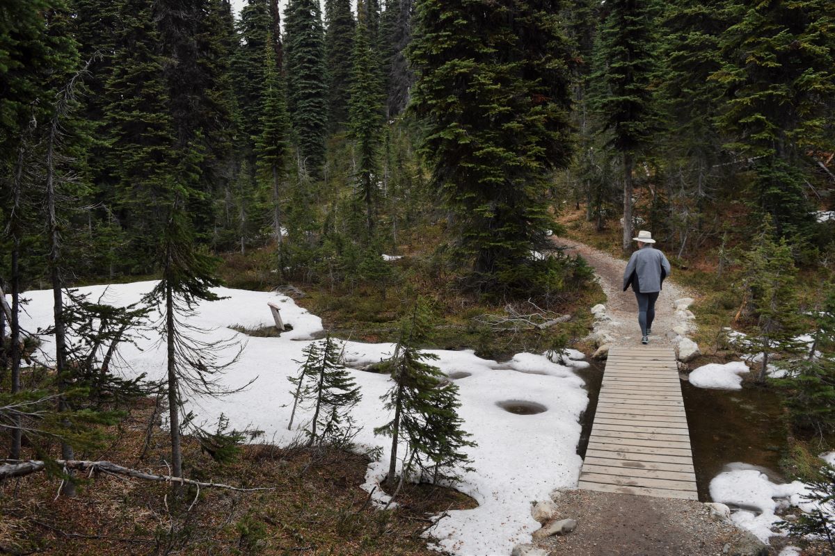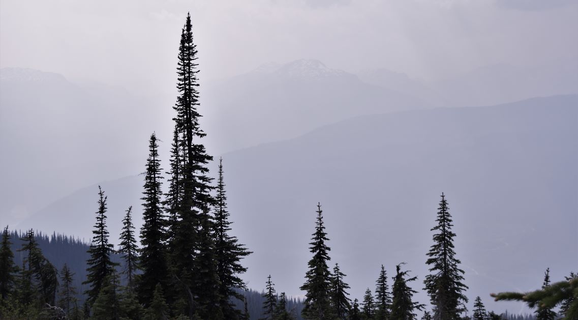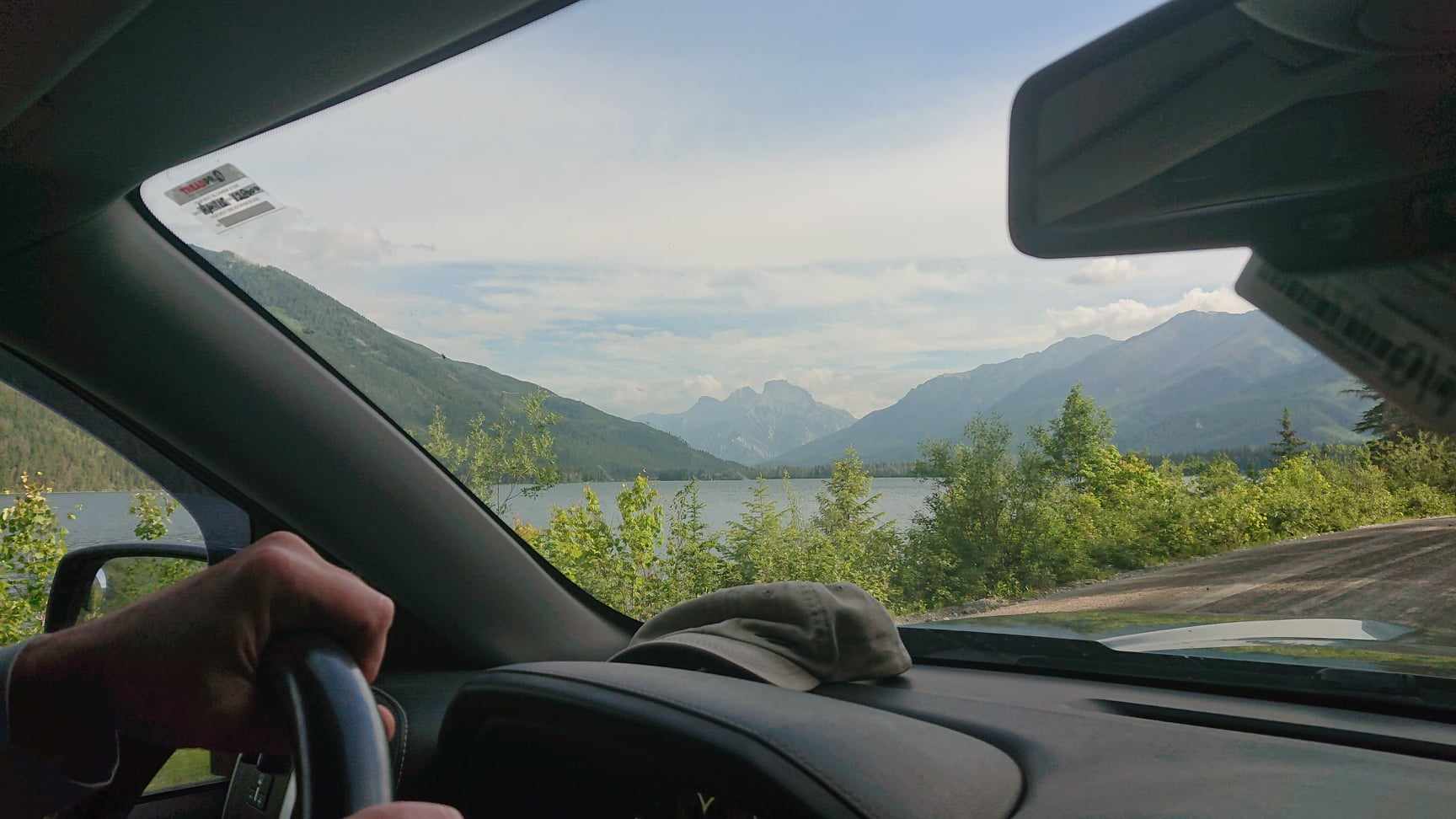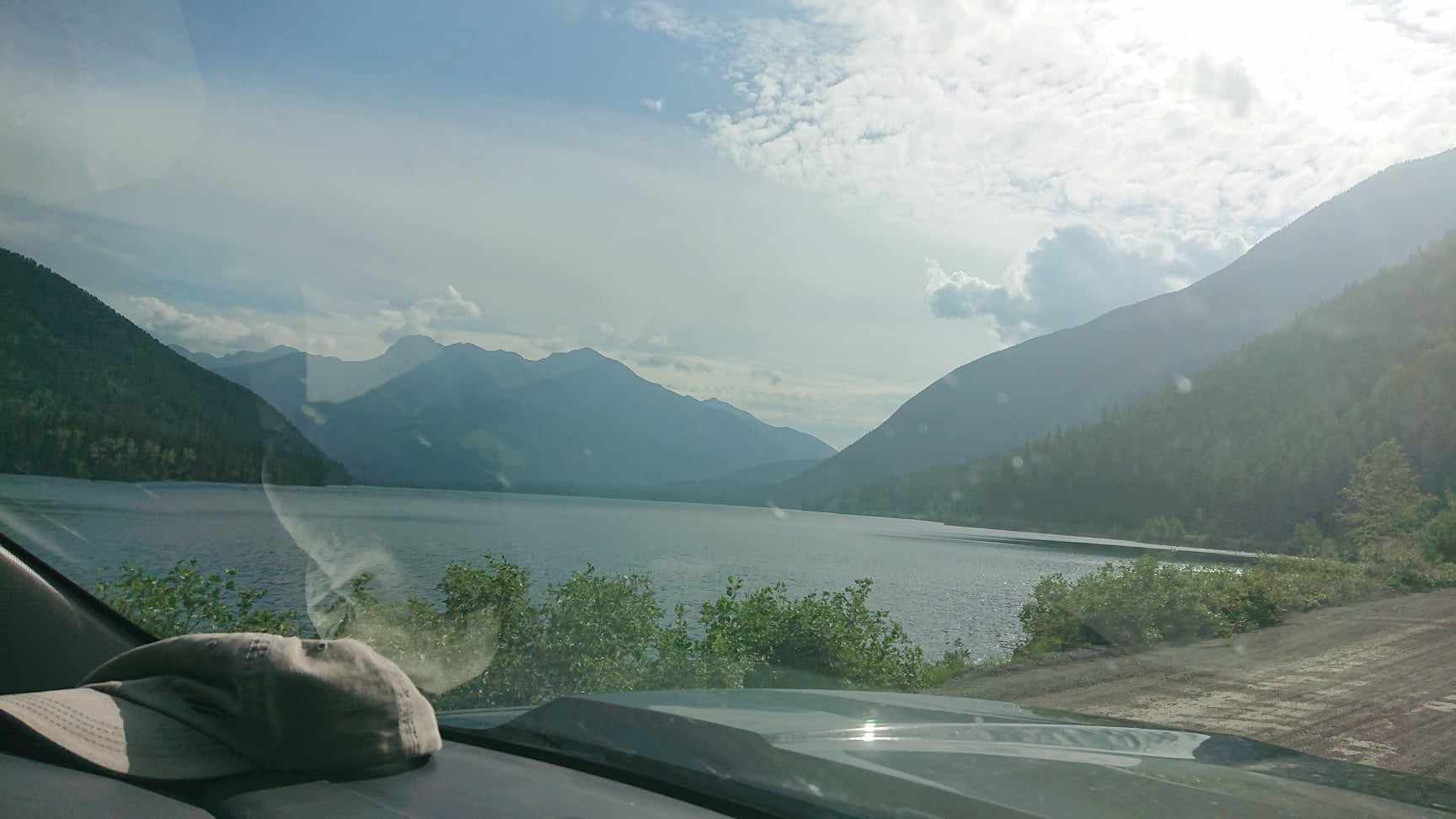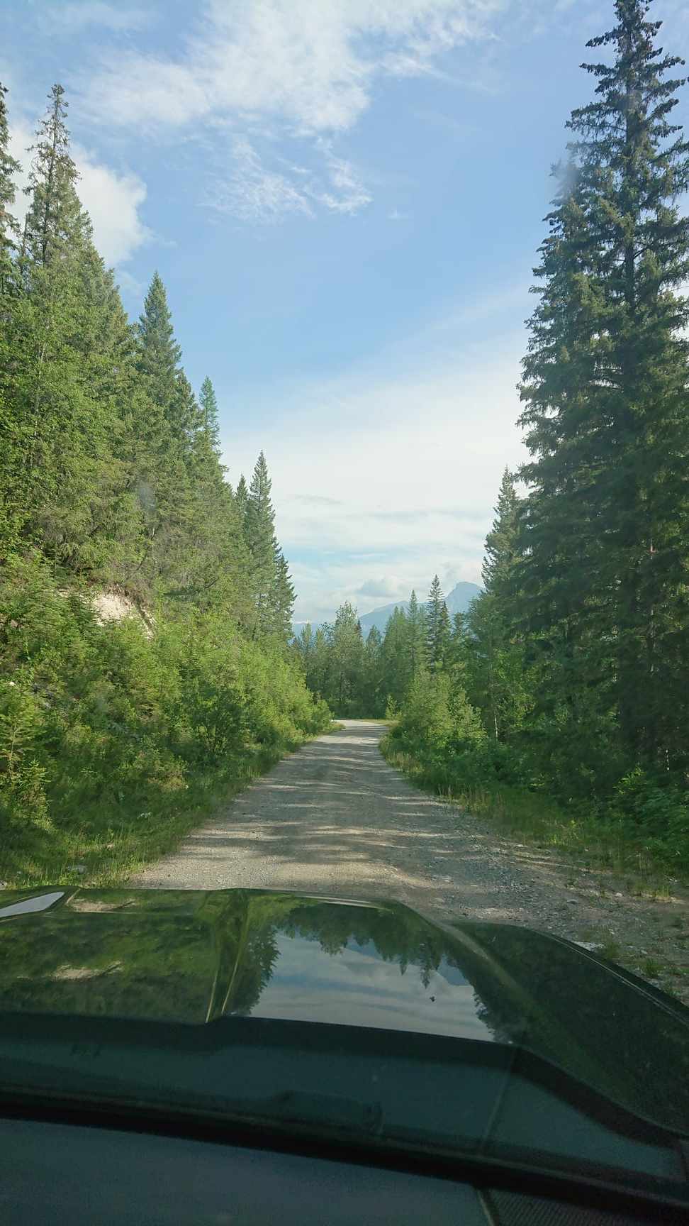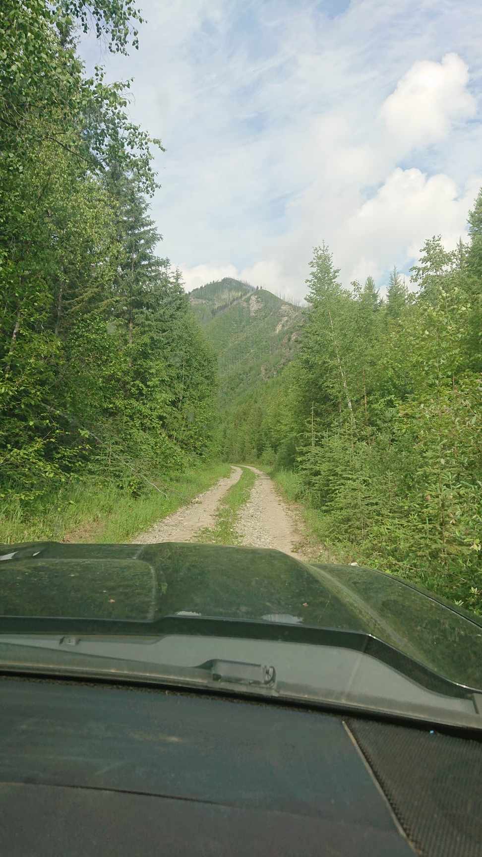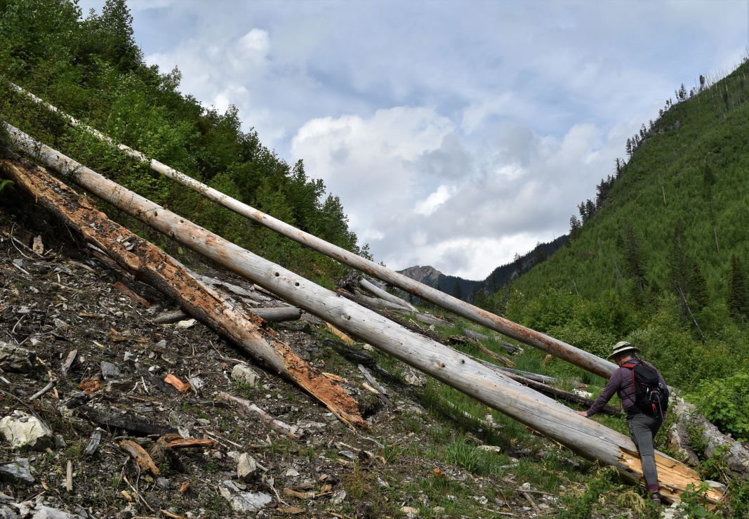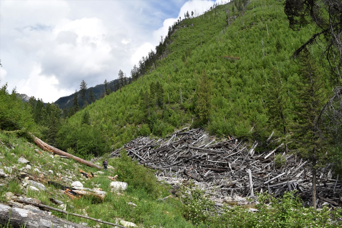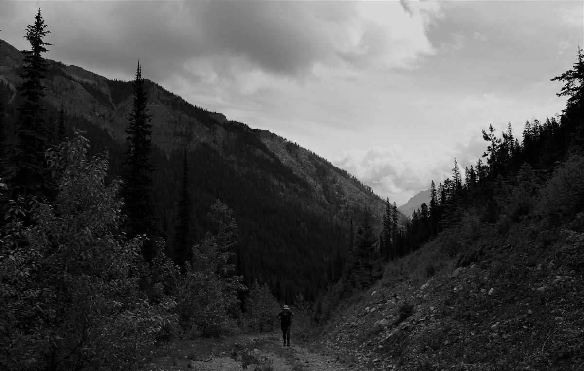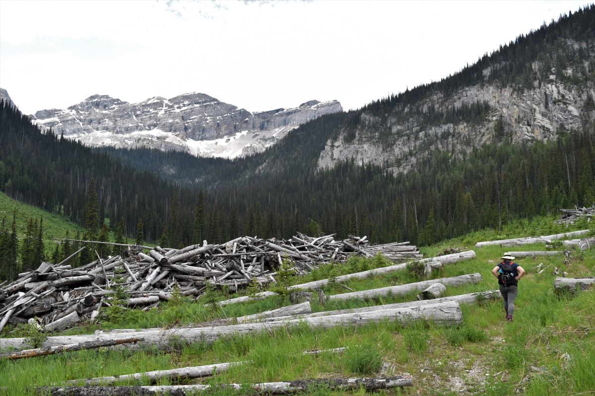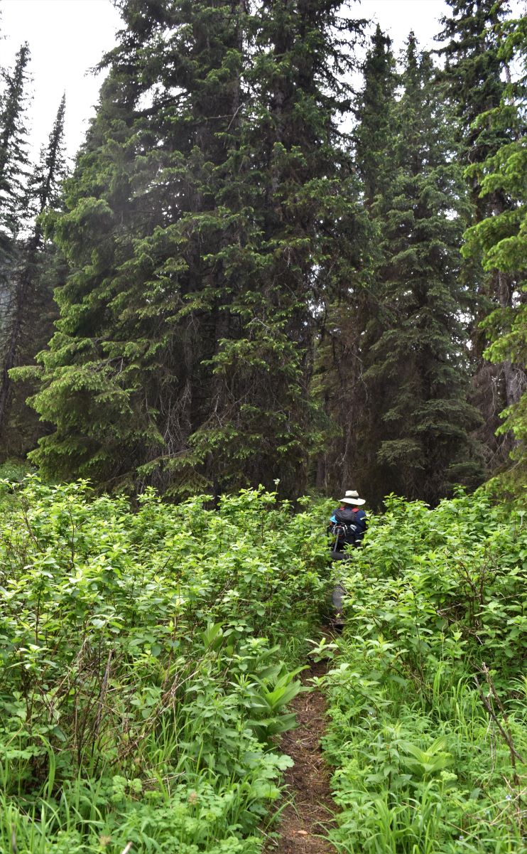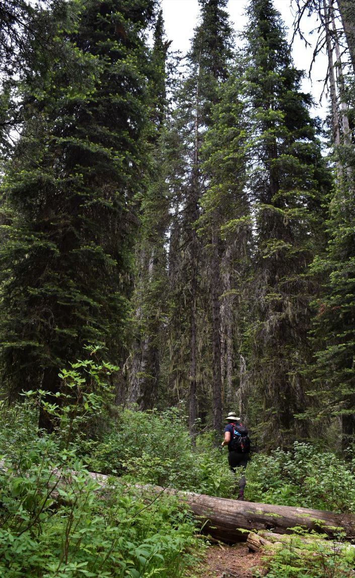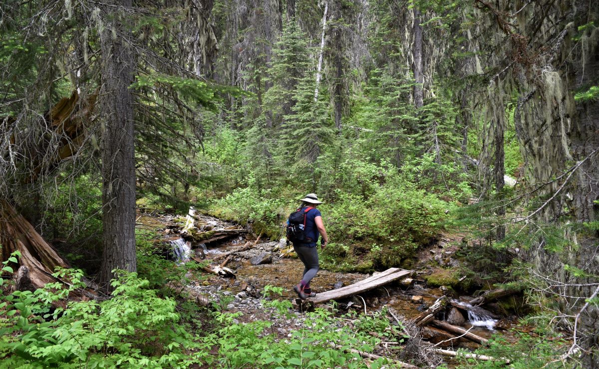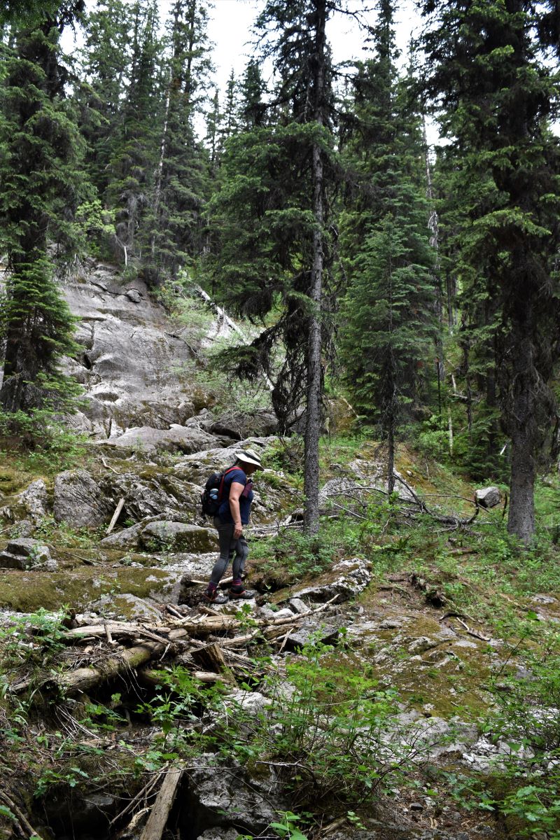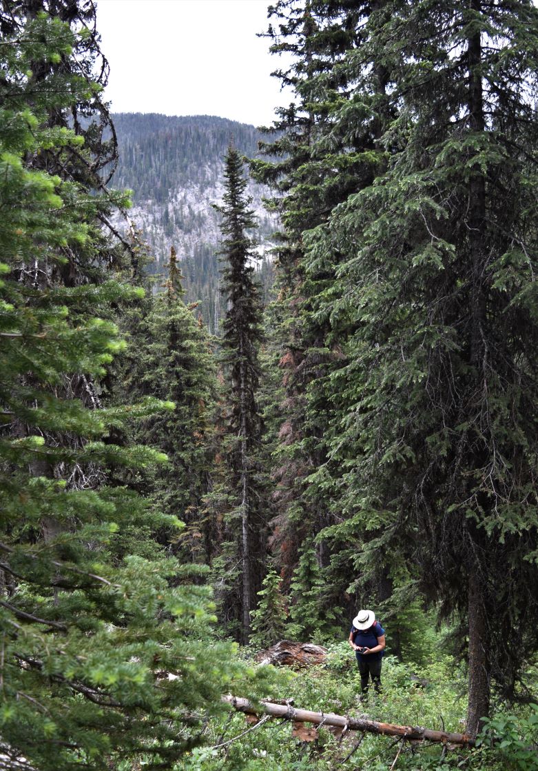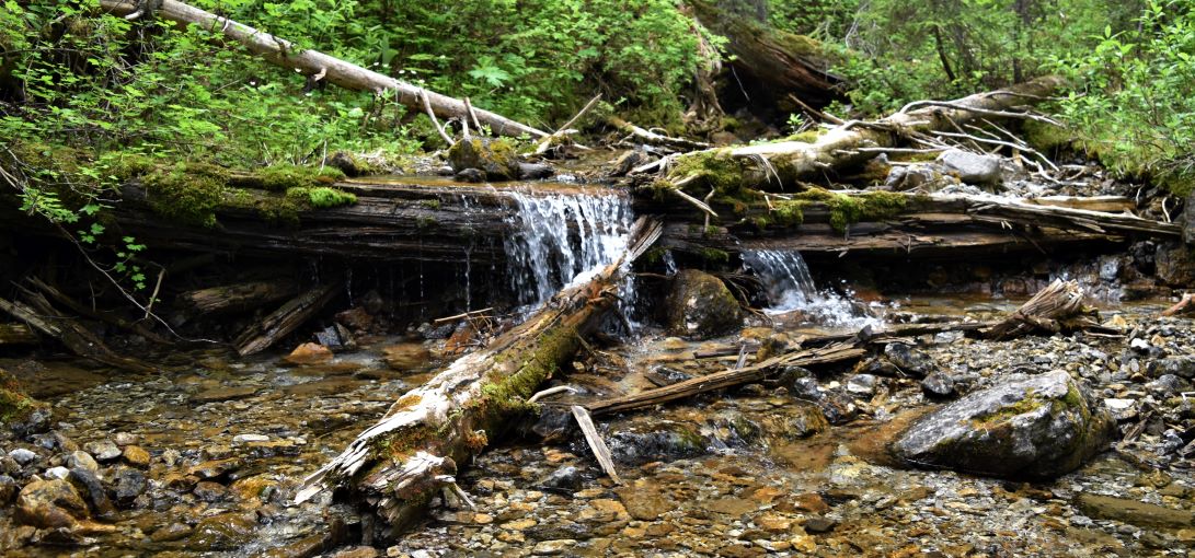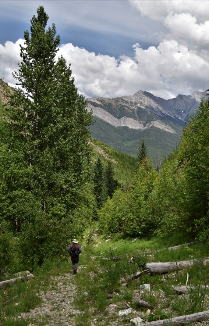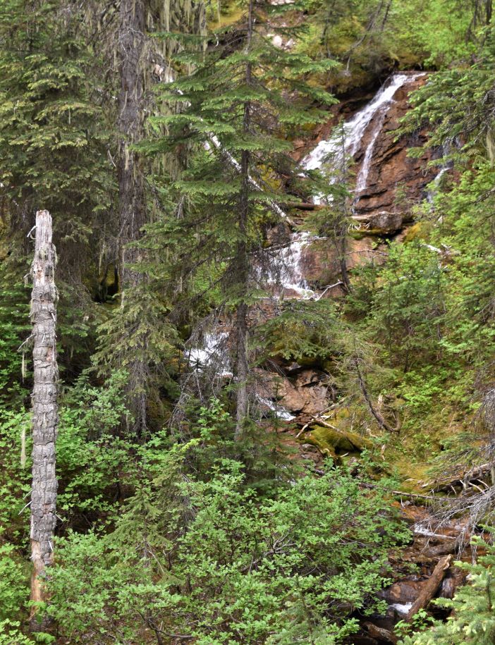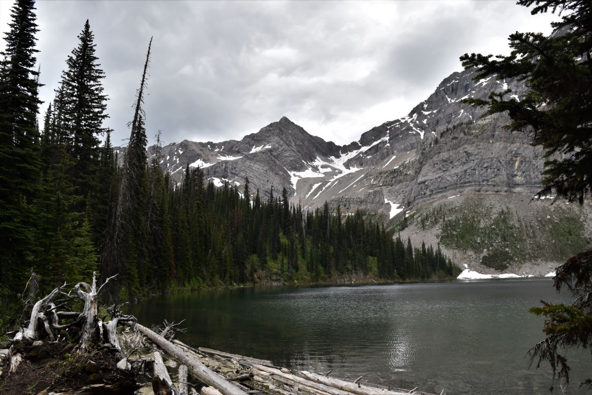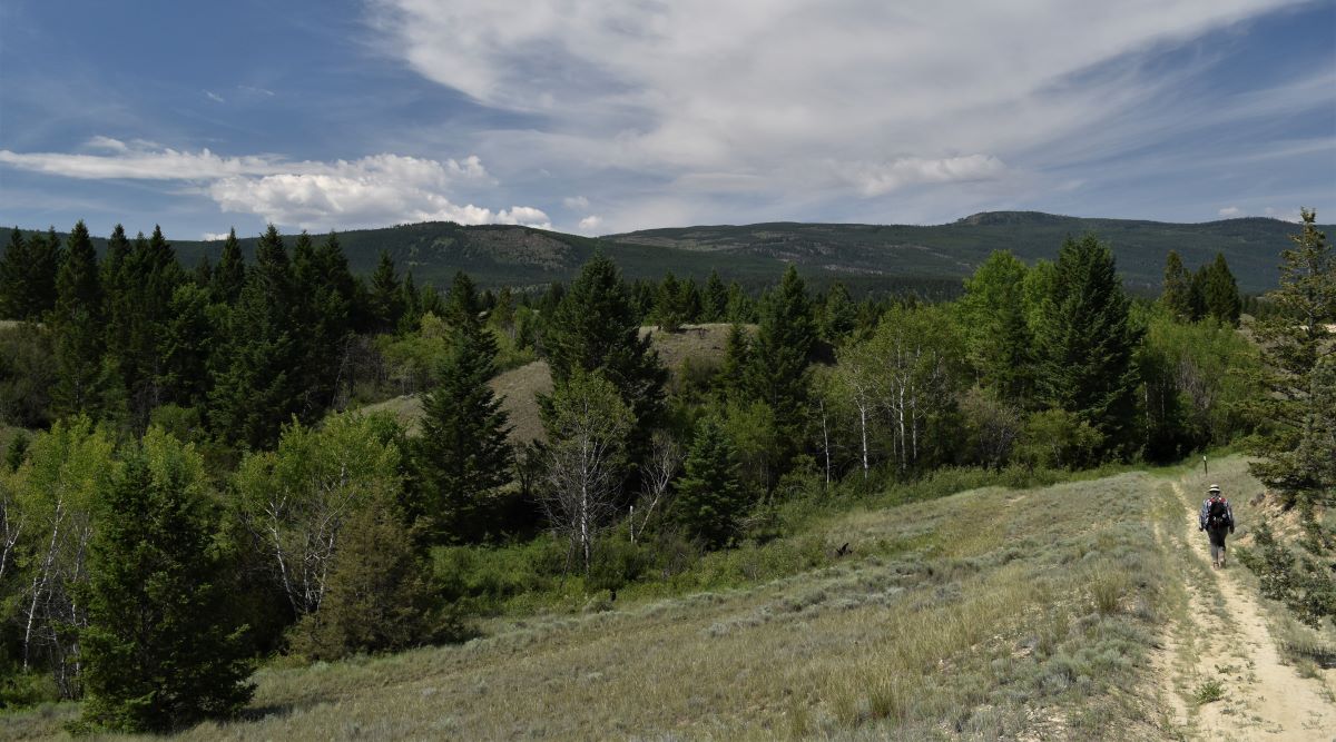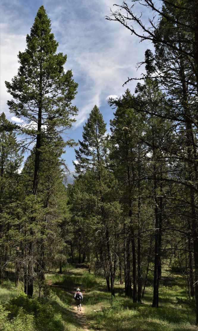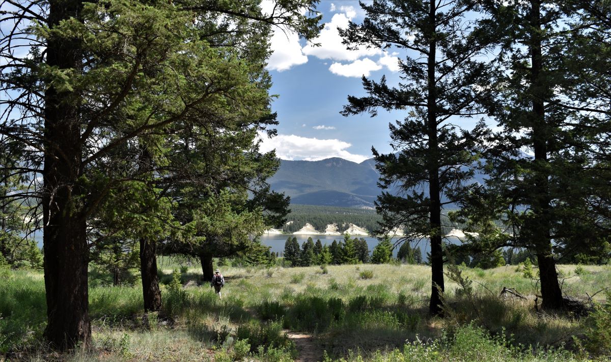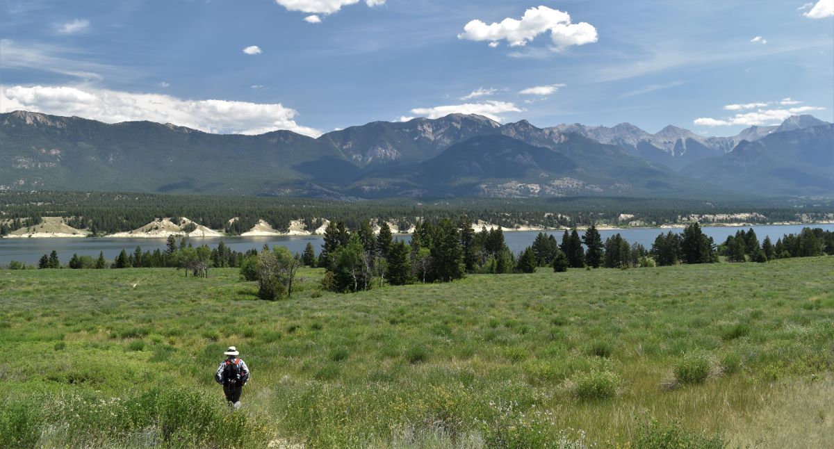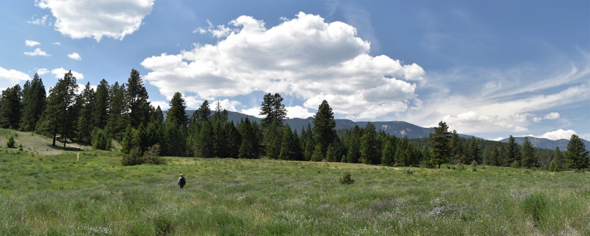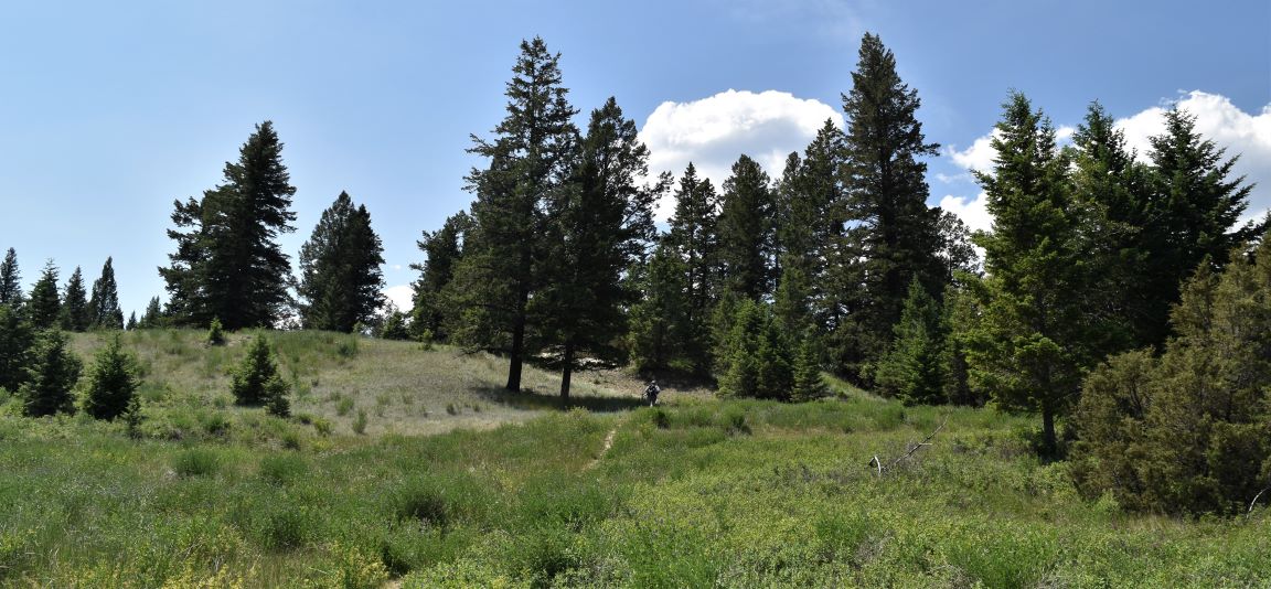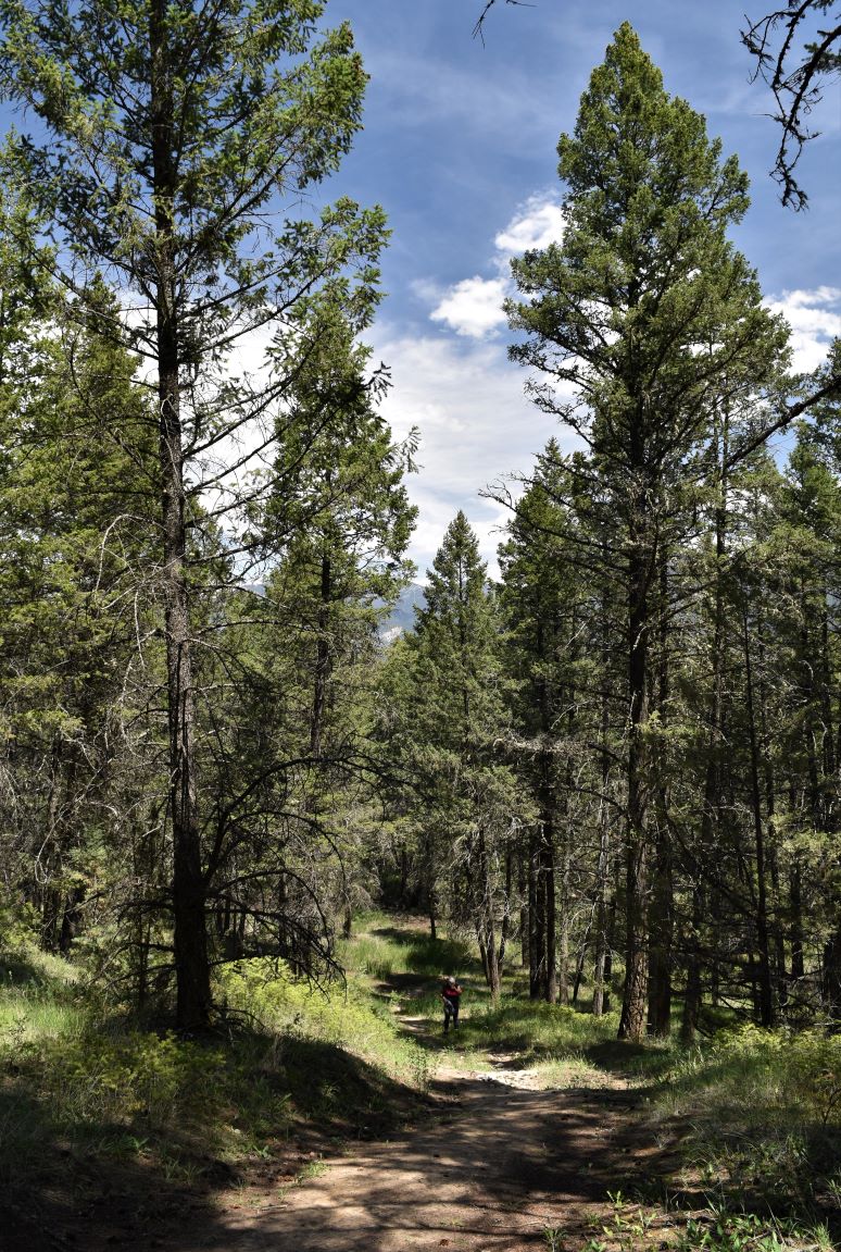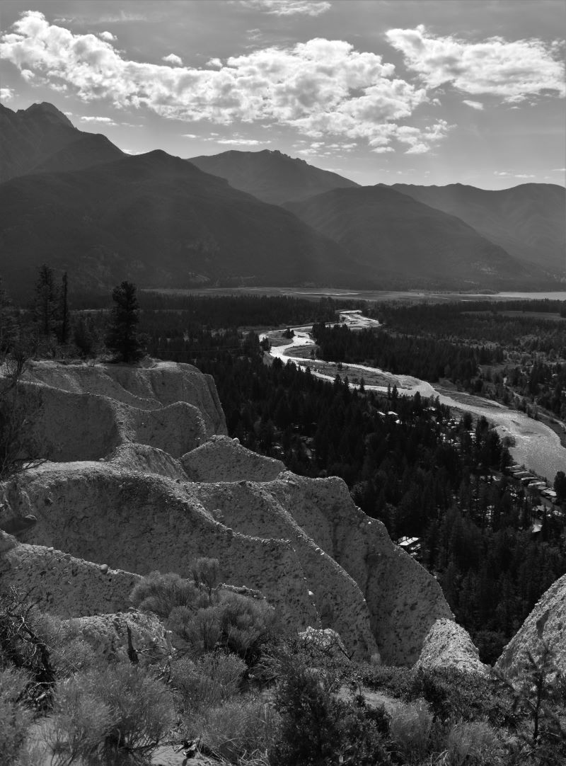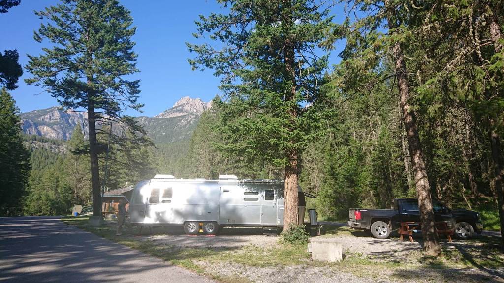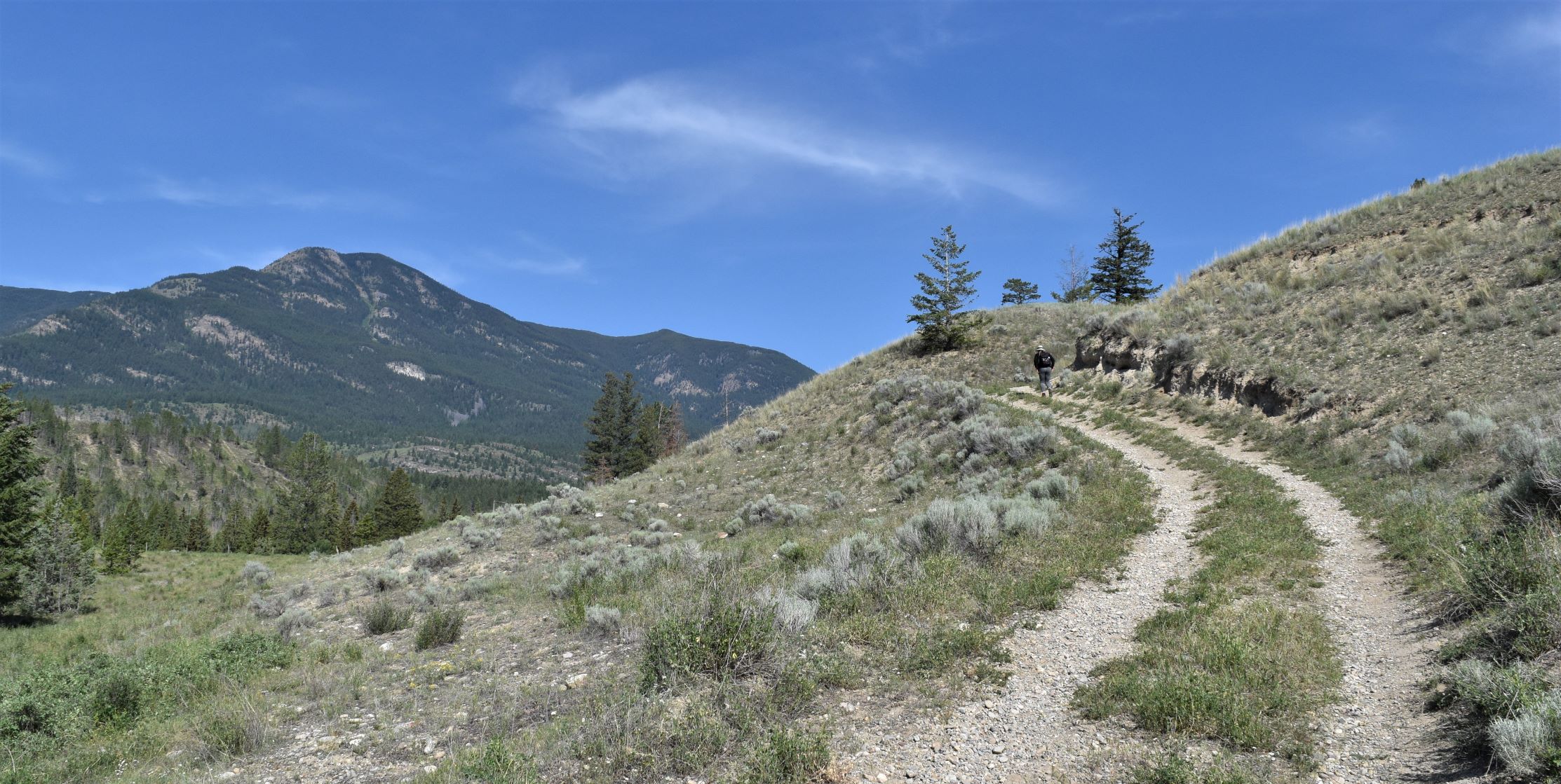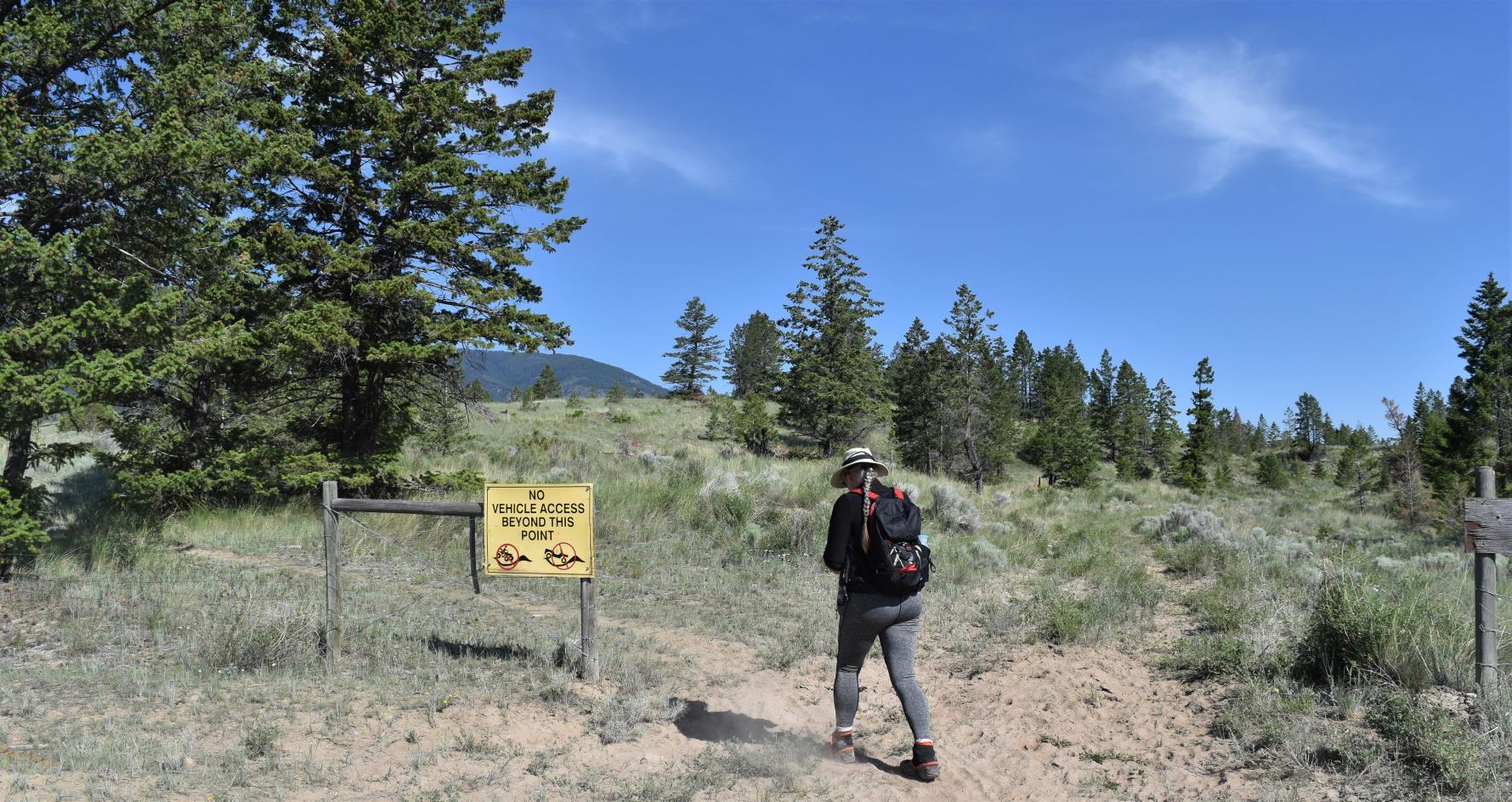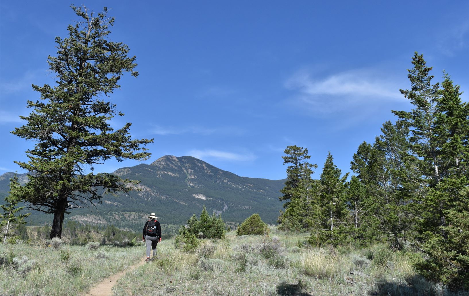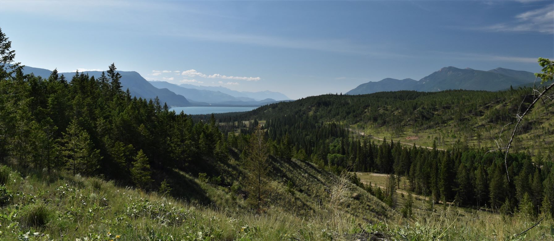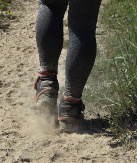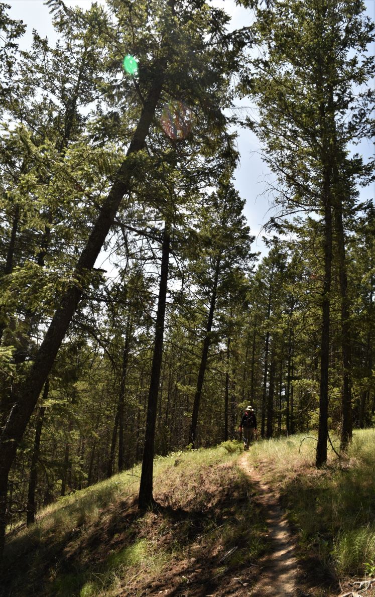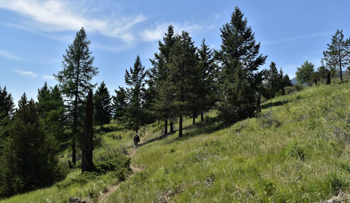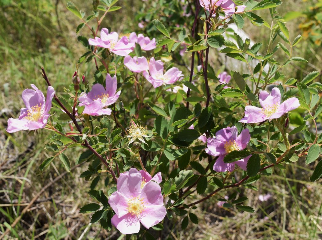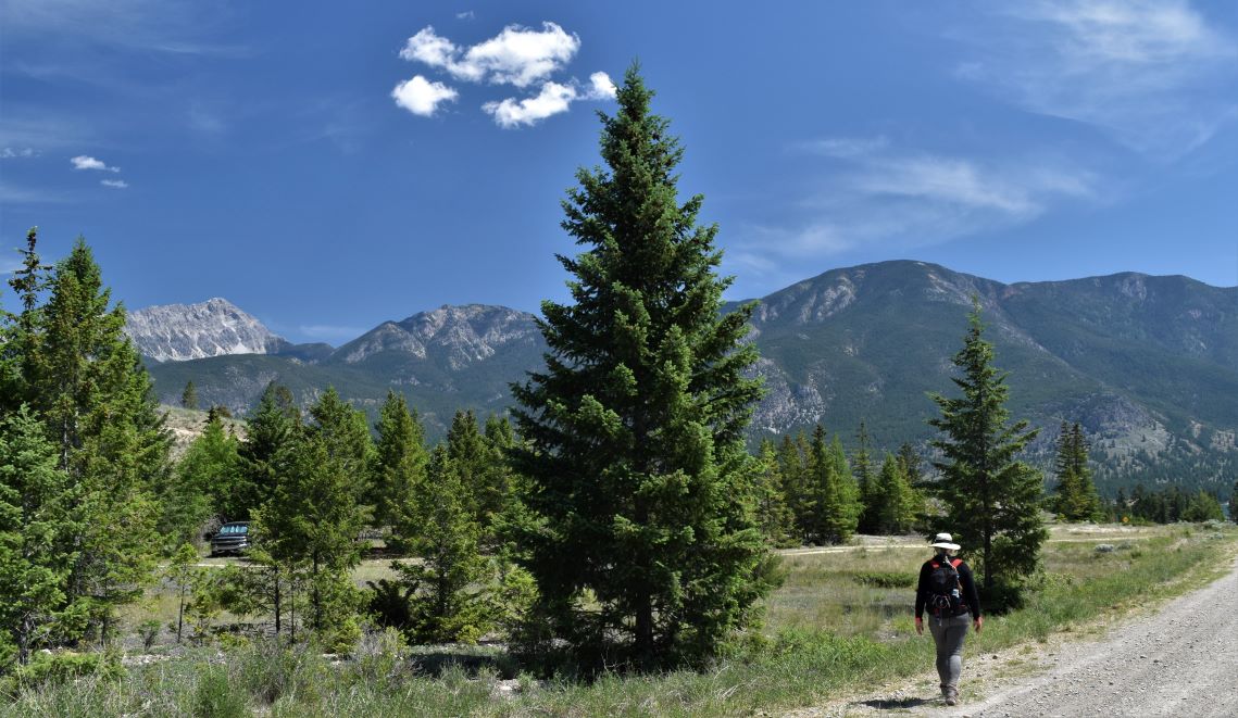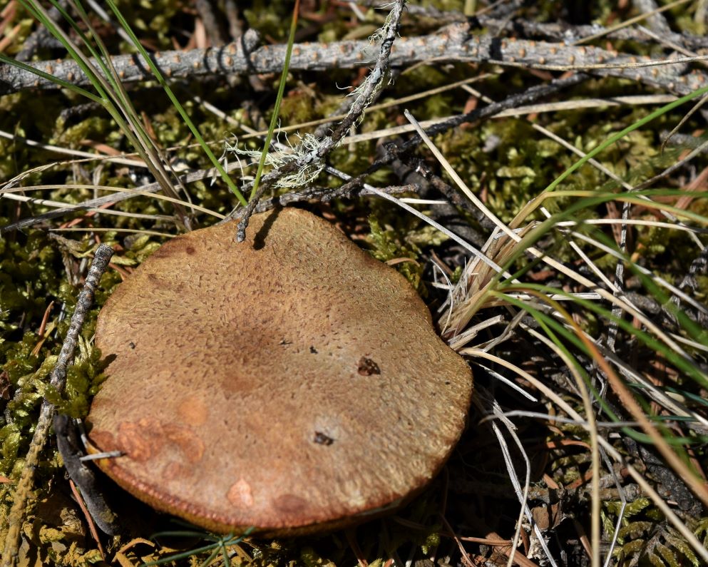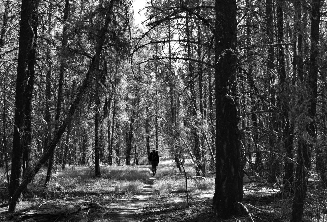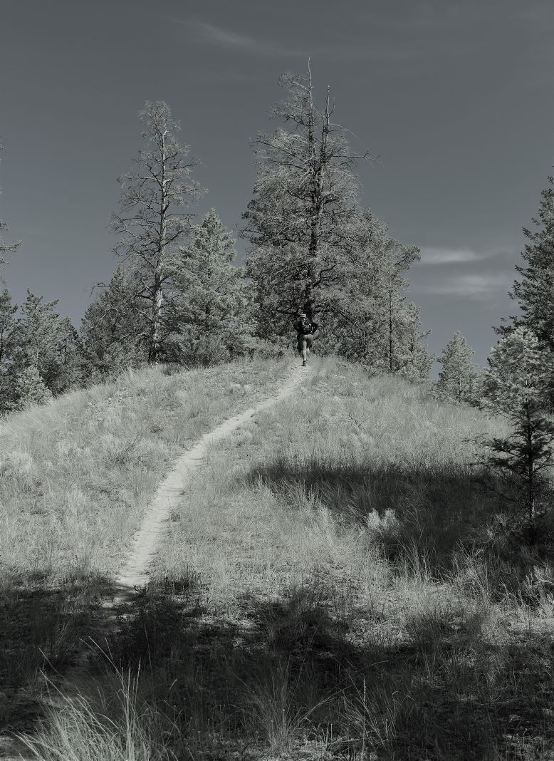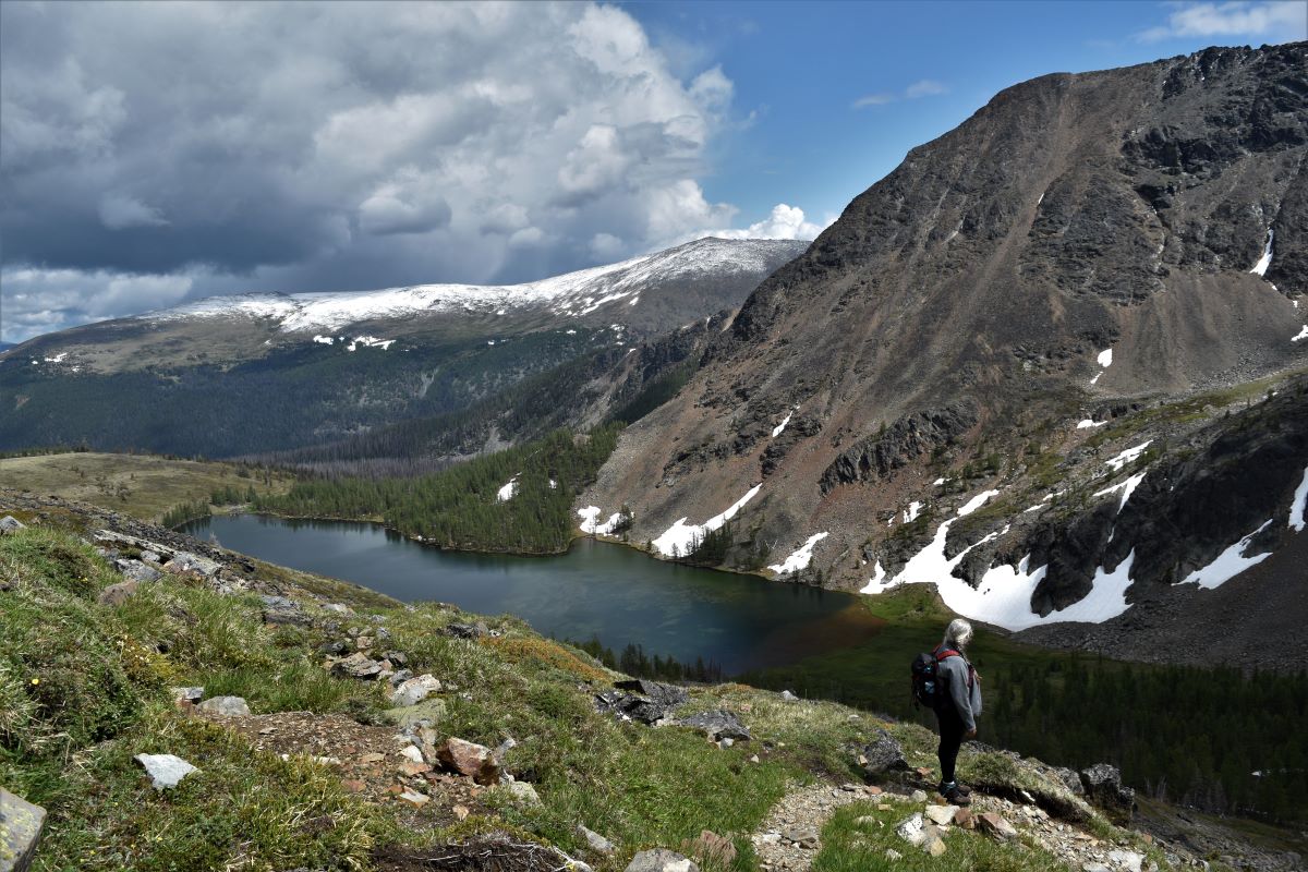
On Top of the World looking, down on Creation (2).

Cathedral Park part 2. The Rim Trail

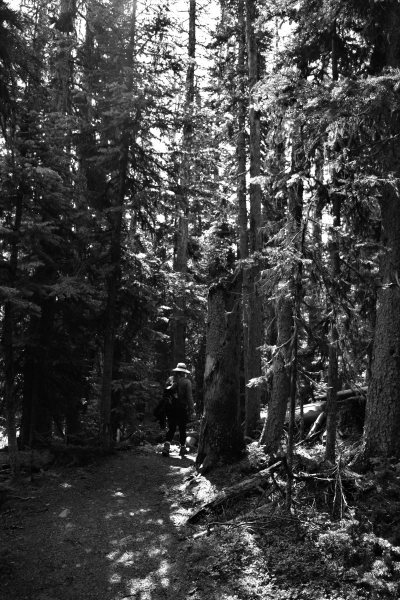
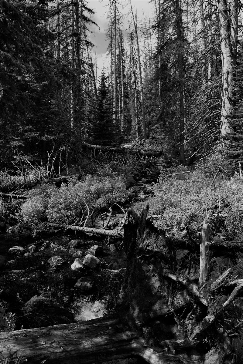
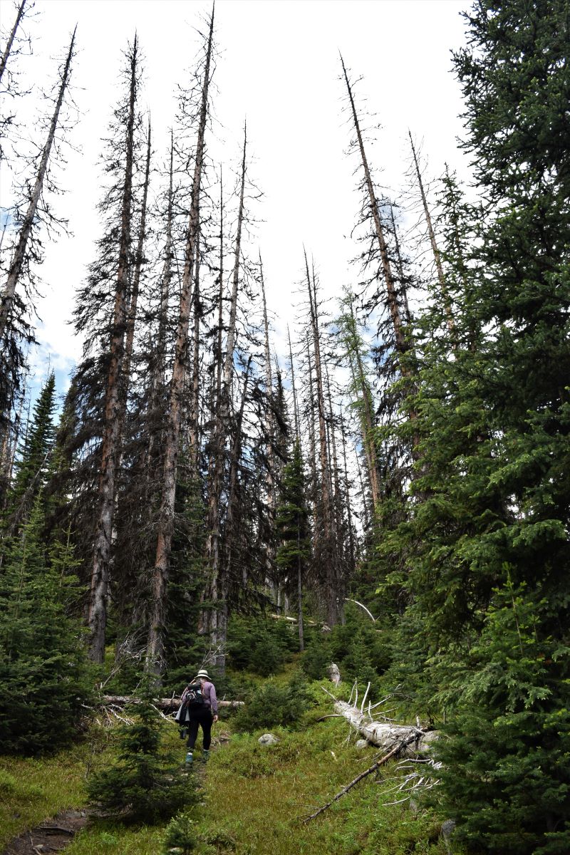
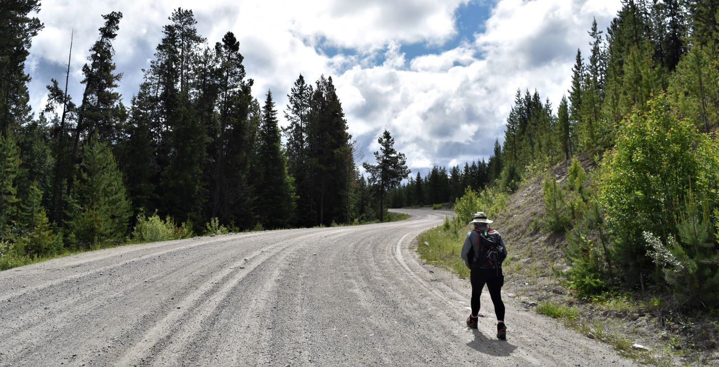
This entire experience in Cathedral was quite ‘out-of-this-world’. Be warned….there are going to be a LOT of pictures…… ( please click on them for a clearer view )

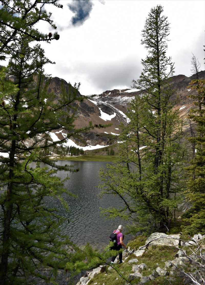
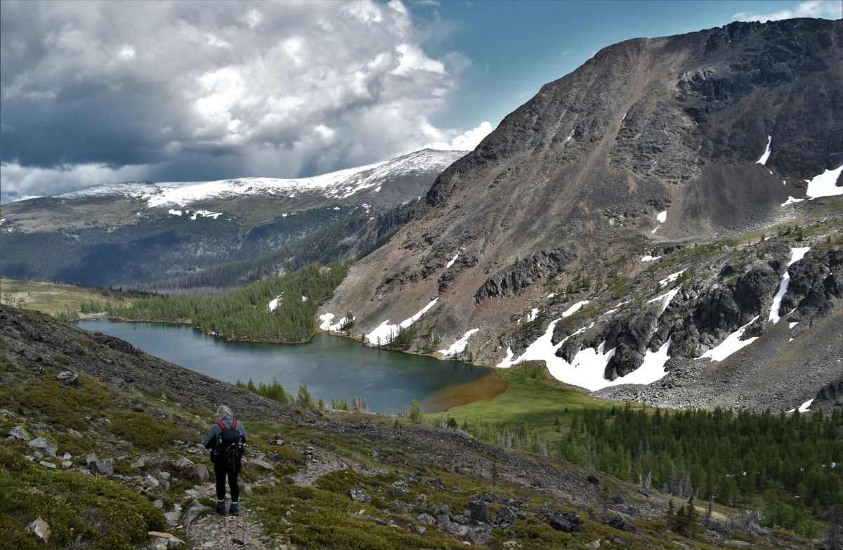
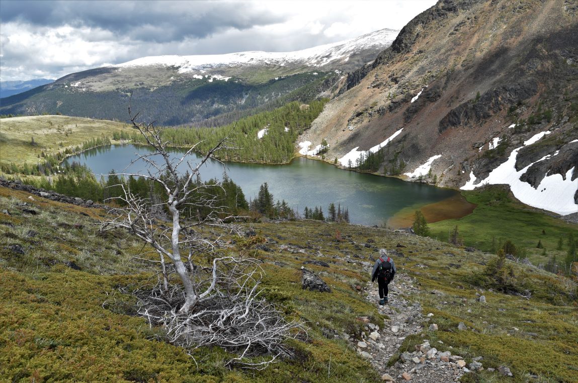
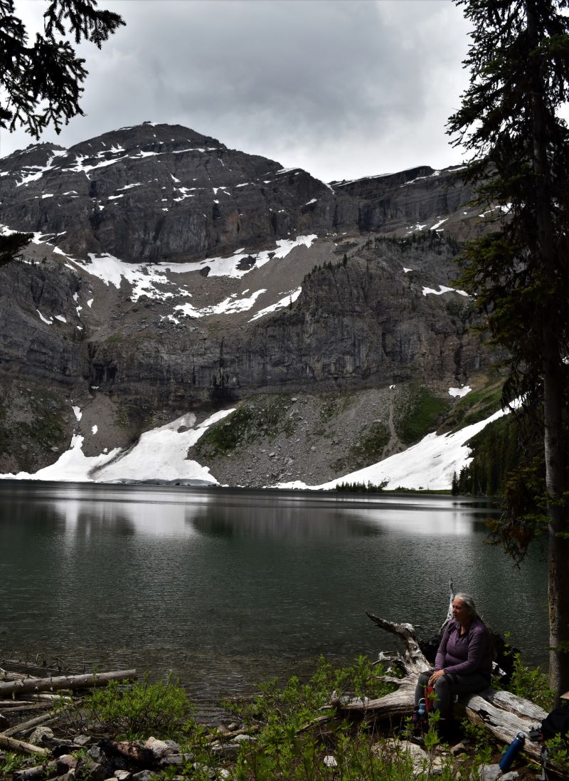
Following part 1 of the adventure ( click ) where we had made it to the shoulder of Pyramid Mountain, the path dips down to the shore of Ladyslipper lake. The regular trail heads up around the west shore of the lake…….. and then up……….
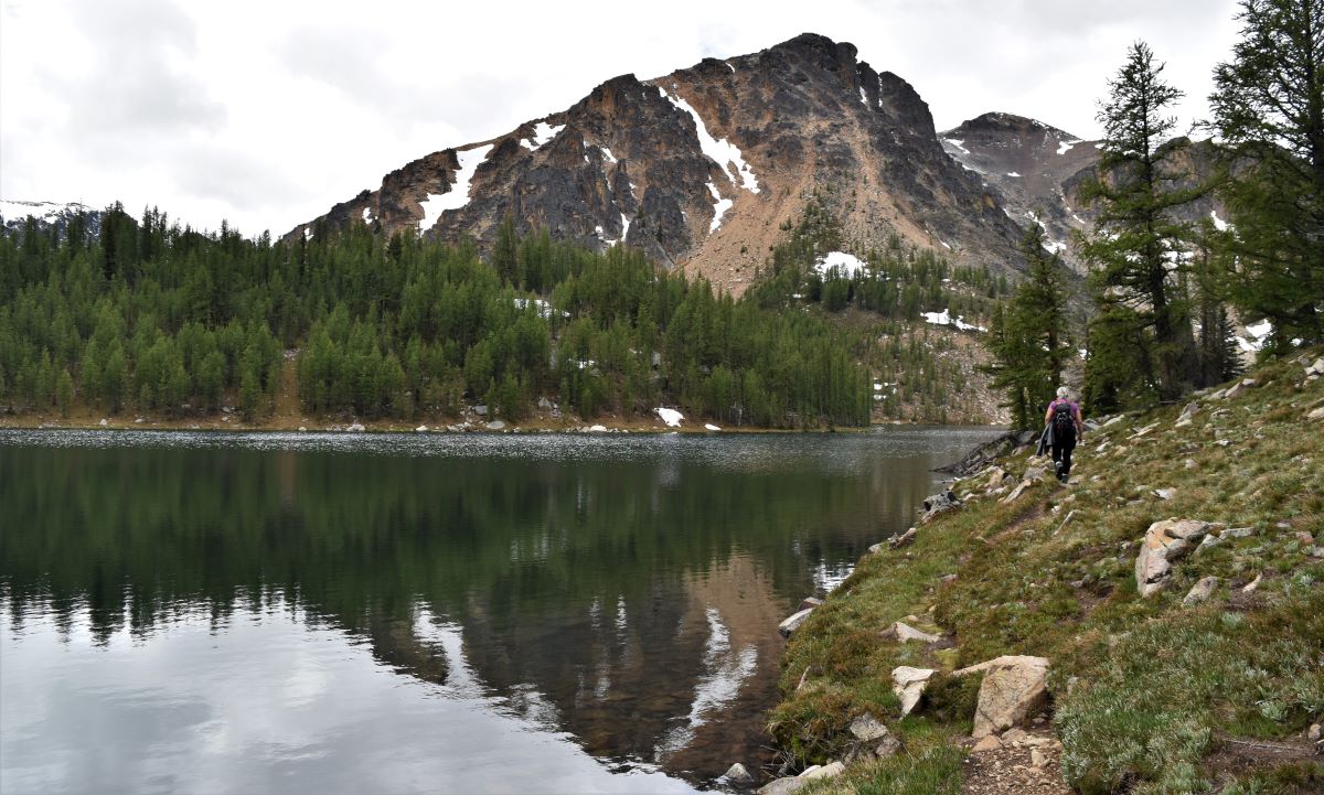
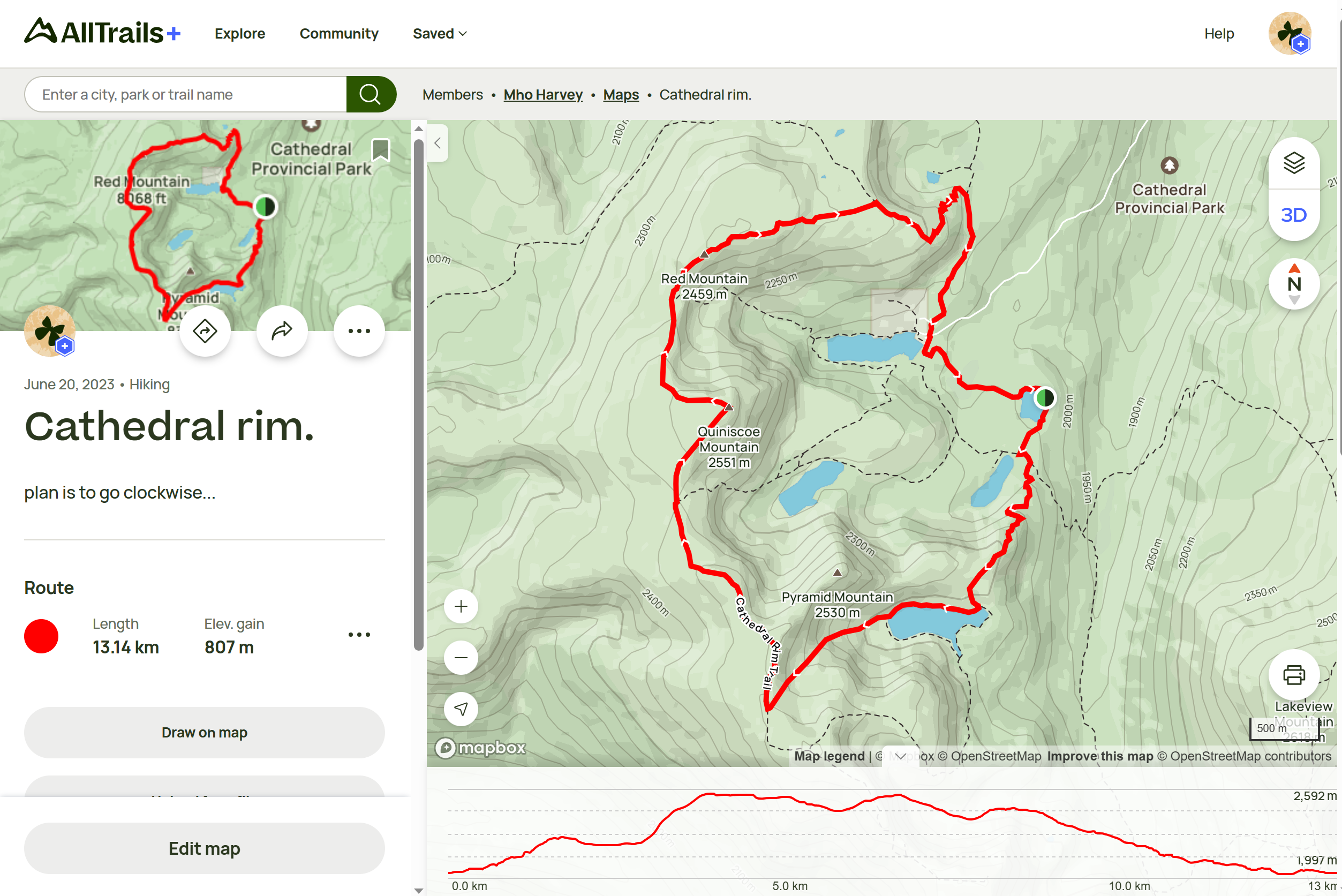
I had been a bit too smart for my own good here. In order to shorten the rim trail to make it more manageable in our limited time, I used Alltrails to map out an alternate path that went to the east side of the lake. This would almost prove to be our undoing.
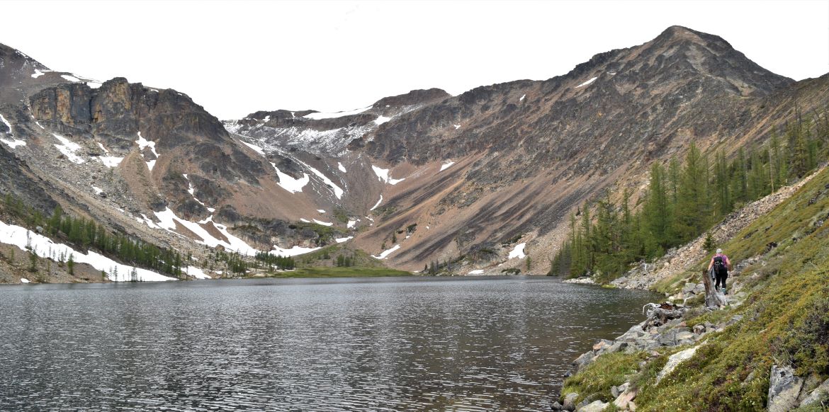
To begin with it was a clearly defined path……

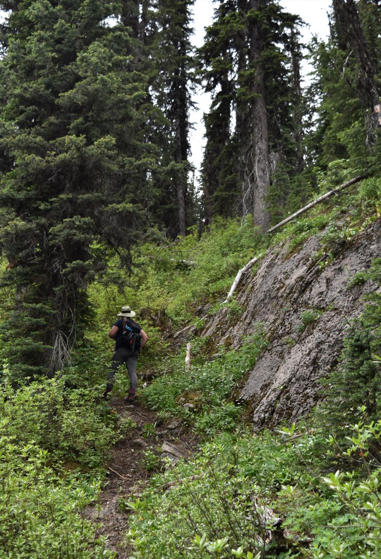
….but it quickly became clear we were on a goat path…..’cleverly’ we made the decision to continue as it looked like it was going pretty much where we expected it to, plus we would have the opportunity to practice our mountain goat skills.
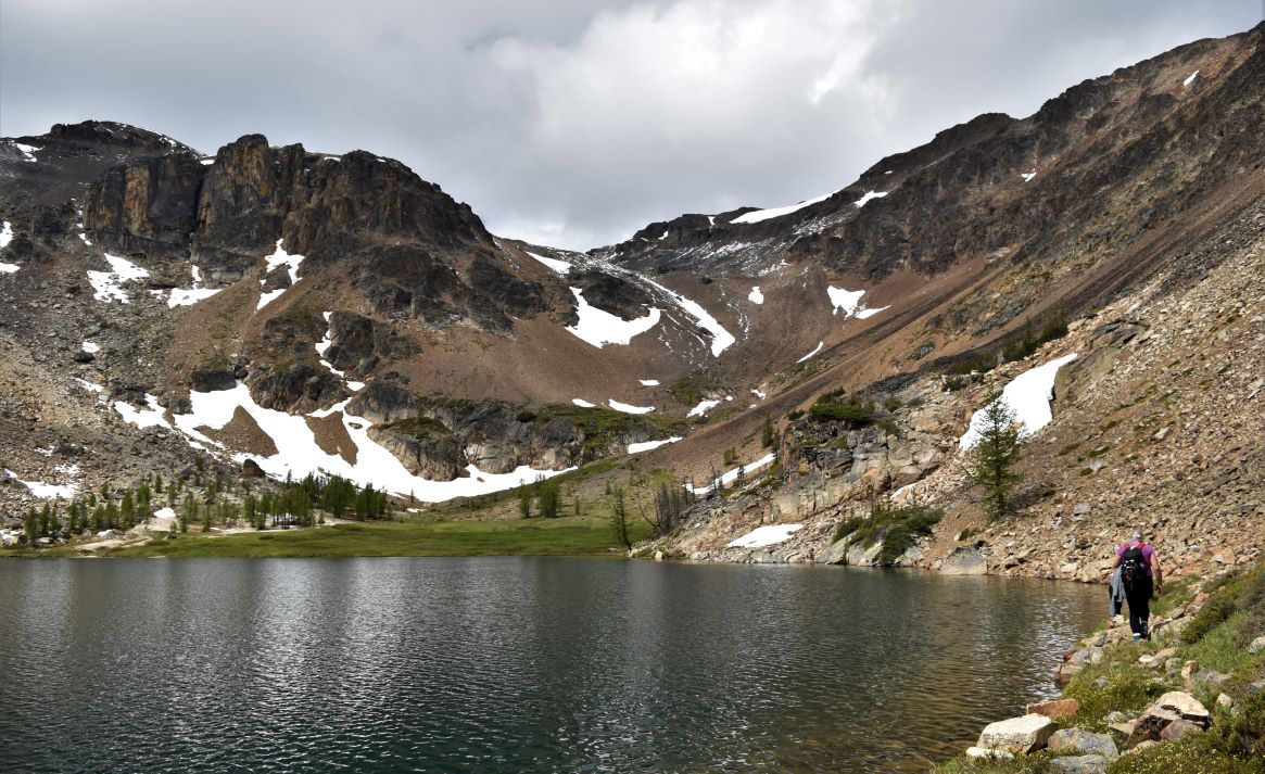
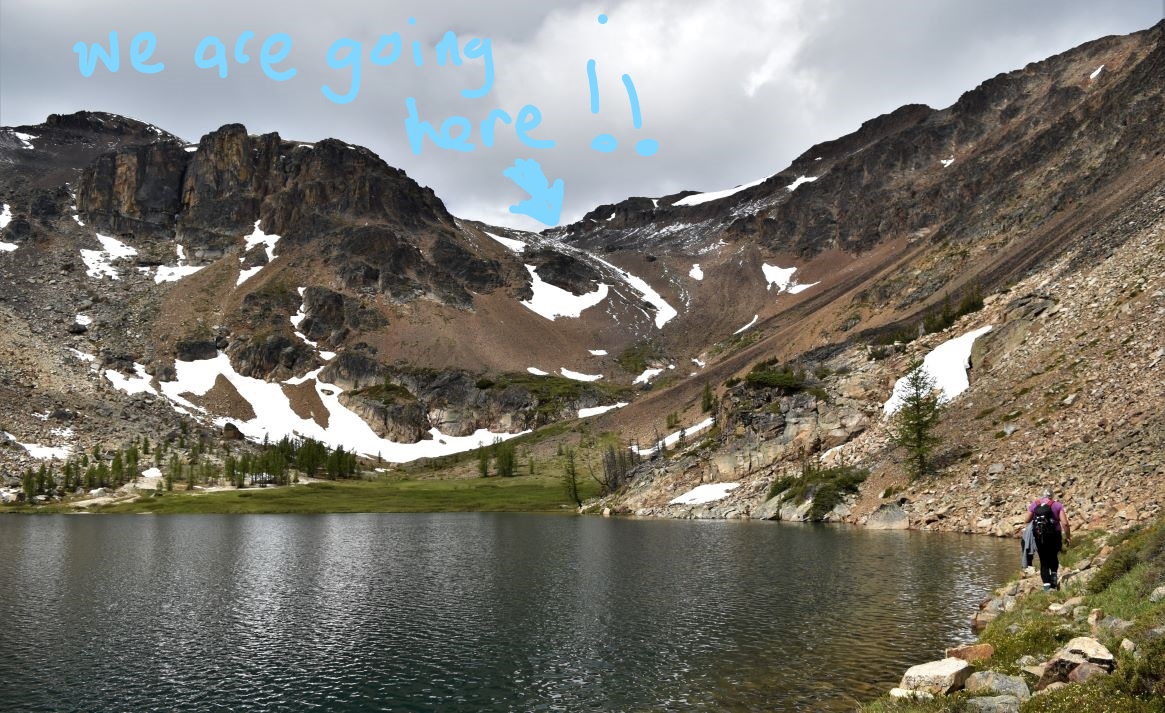
A bit of a rock scramble towards the end of the lake made things interesting….but still quite manageable…lulling us into a false sense of security and completely unprepared for what we would shortly face.

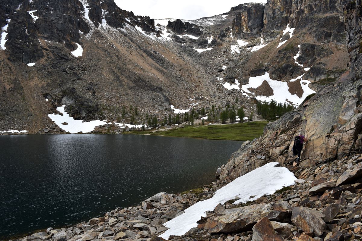
After crawling across a rock field at the top of the lake…..we were face to face with a fairly sheer climb up the valley to the rim. about 600m of it. At this point we are certainly not turning back…..but I am now seeing my error…!!!

The path was more of a …..well a ridge of rocks and scree…. Note well…..Alltrails uses satellite images to follow trails when you draw your own maps. The hiccup here is that the sheer edge of a rock ridge looks like a path in a satellite image……!!!! This realization was not my favourite moment…..!!!
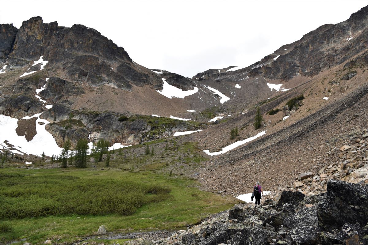
But here we are…..and you don’t ever achieve anything in life without a bit of discomfort or even heart-stopping terror……so…let’s give it a go…!!!
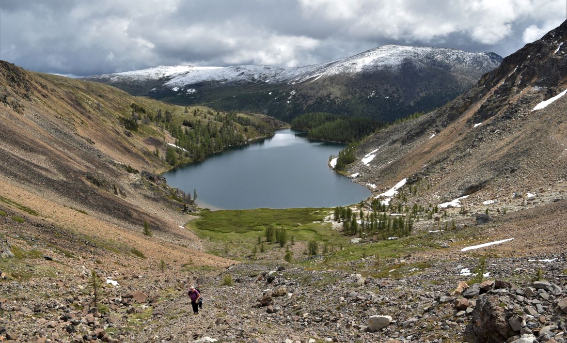
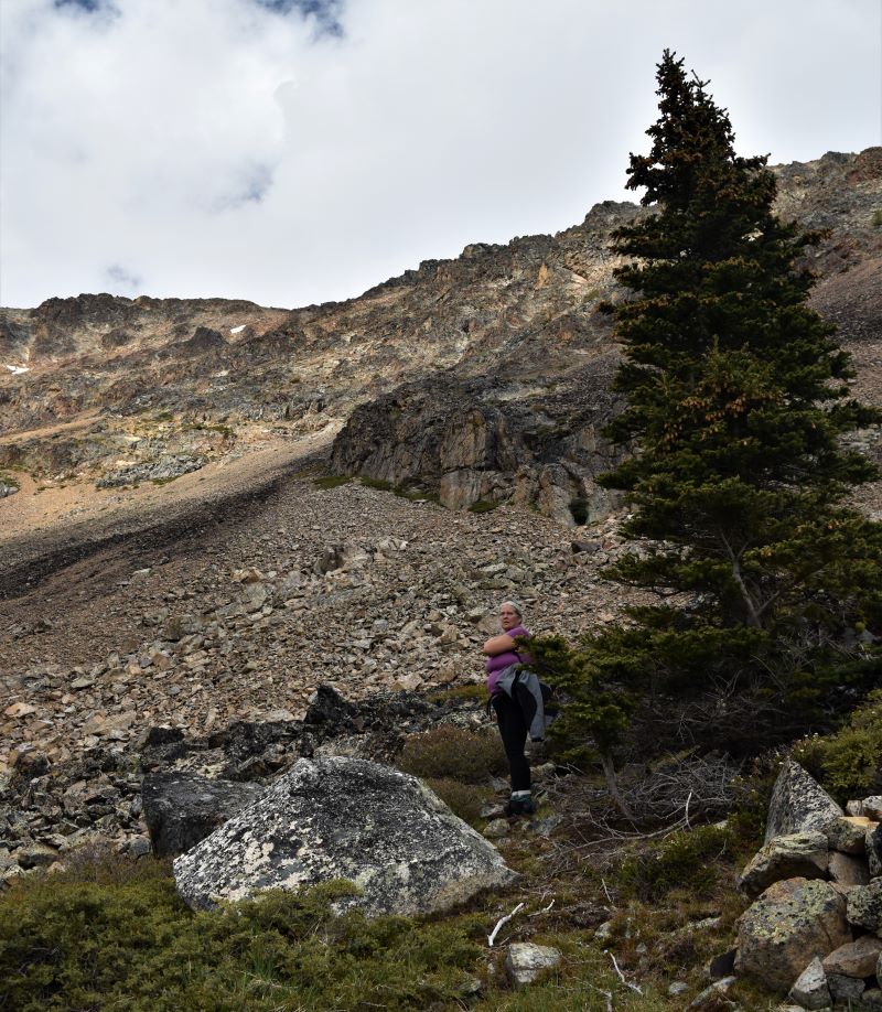
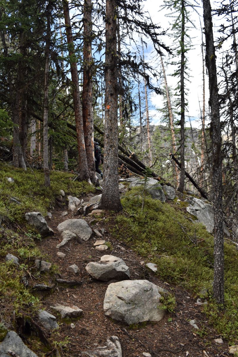
I don’t know how it looks to you….but it was a hard climb. It became gradually steeper until we were using hands and knees to keep going….
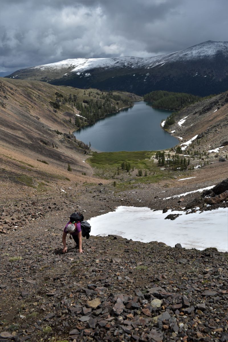
The next two pictures are (L). looking up to that boulder and (R). looking down from it…..

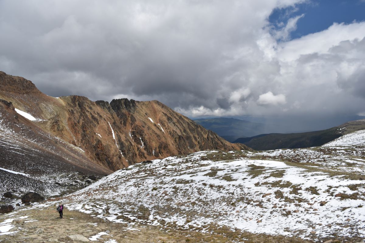
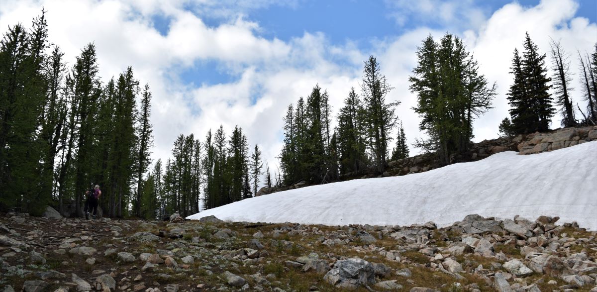
….and then we were into snow …..In addition, all the way up the wind was bitingly cold and relentless.
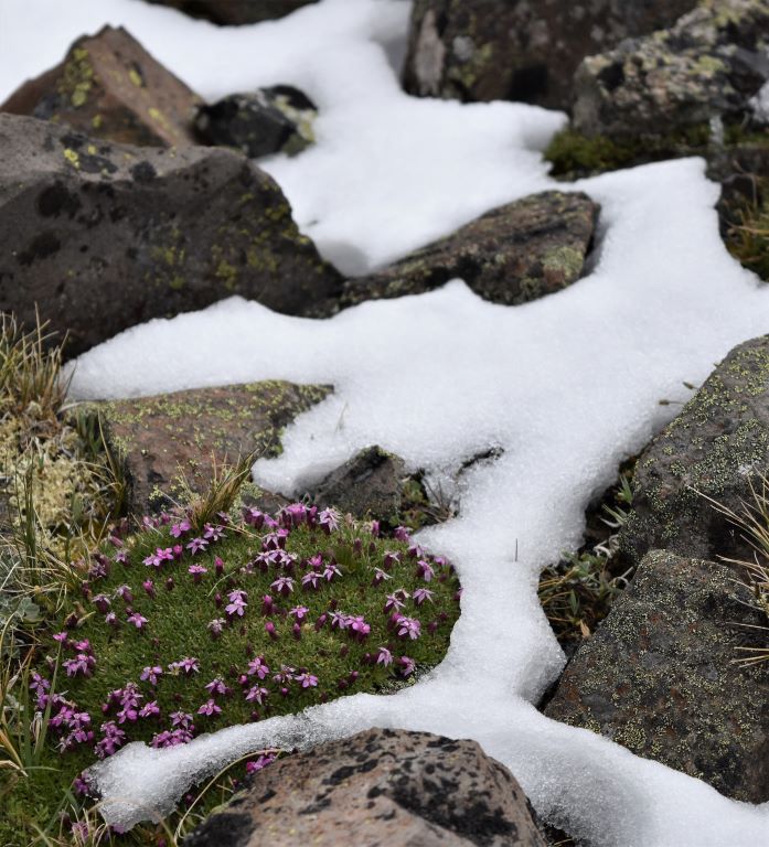
If you look closely ……I am in the middle of this next picture……

I have to say…about halfway up…I did not think I was going to make it. There were a couple of spots that were near vertical…and the only grip was some grassy tufts that were tenaciously rooted into the rocks and gravel.

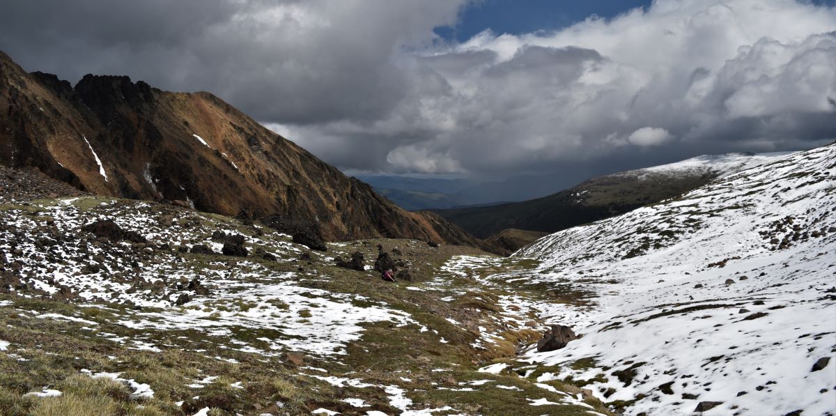
Scott was doing his best encouragement halfway…as the ice pellets started blowing at us and we could see snow clouds heading our way over the ridge below us….
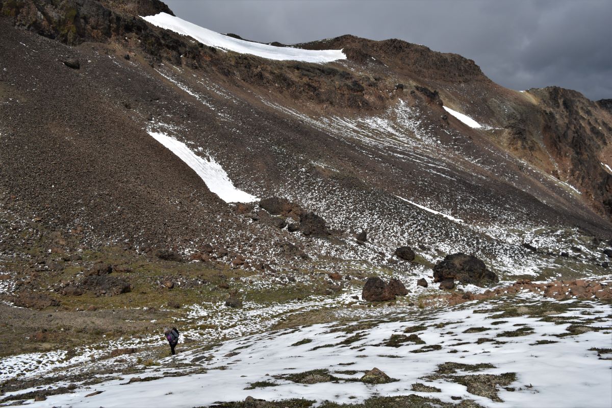
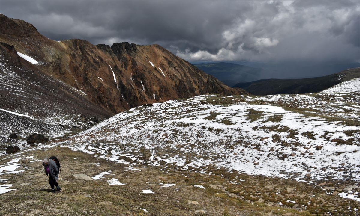
No choice but up…so up we went……the only thing keeping me going at that point was the grim determination NOT to be one of those people that needs rescued…..

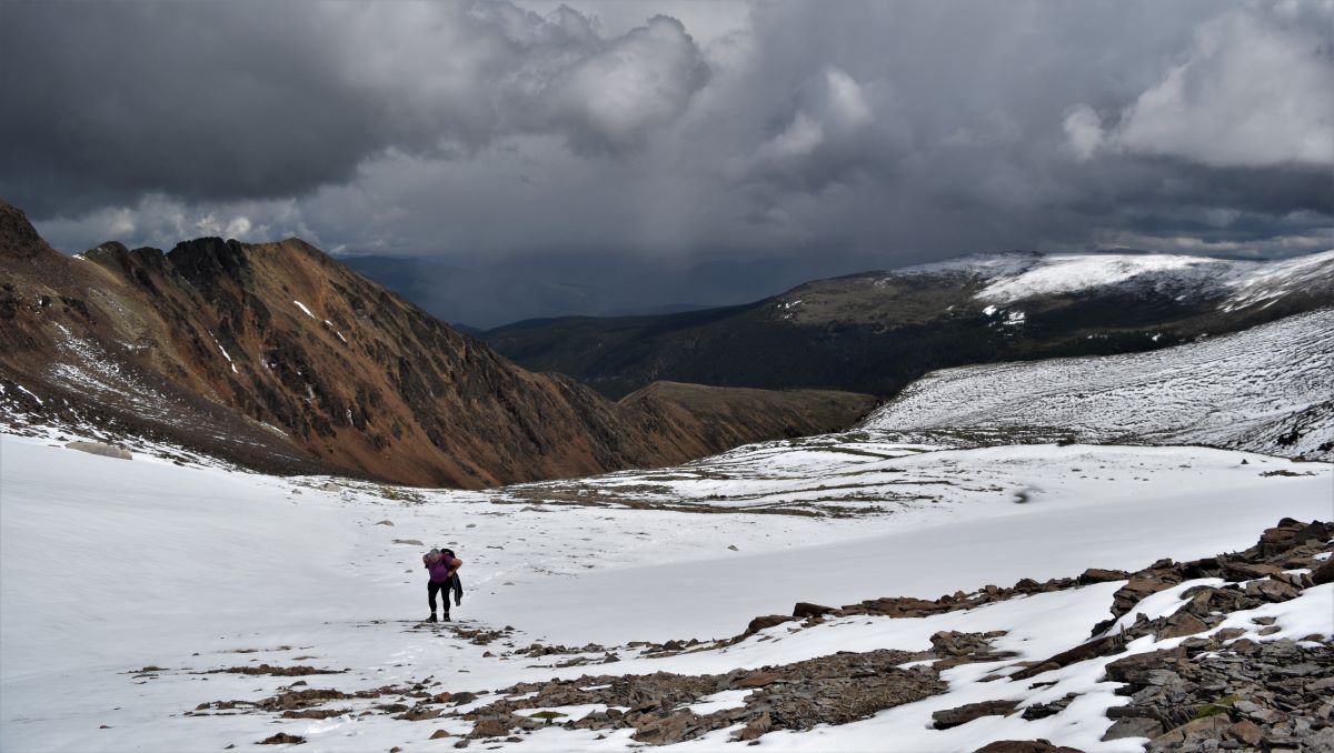
It was more mentally tough than physically, I think . My dear husband delighted in the photographs of me struggling in my moments of misery…..I knew we still had 400 m to climb……and my legs were not enthused at the idea.

But…no choice…pushes you on…and we made it to the top of the ridge
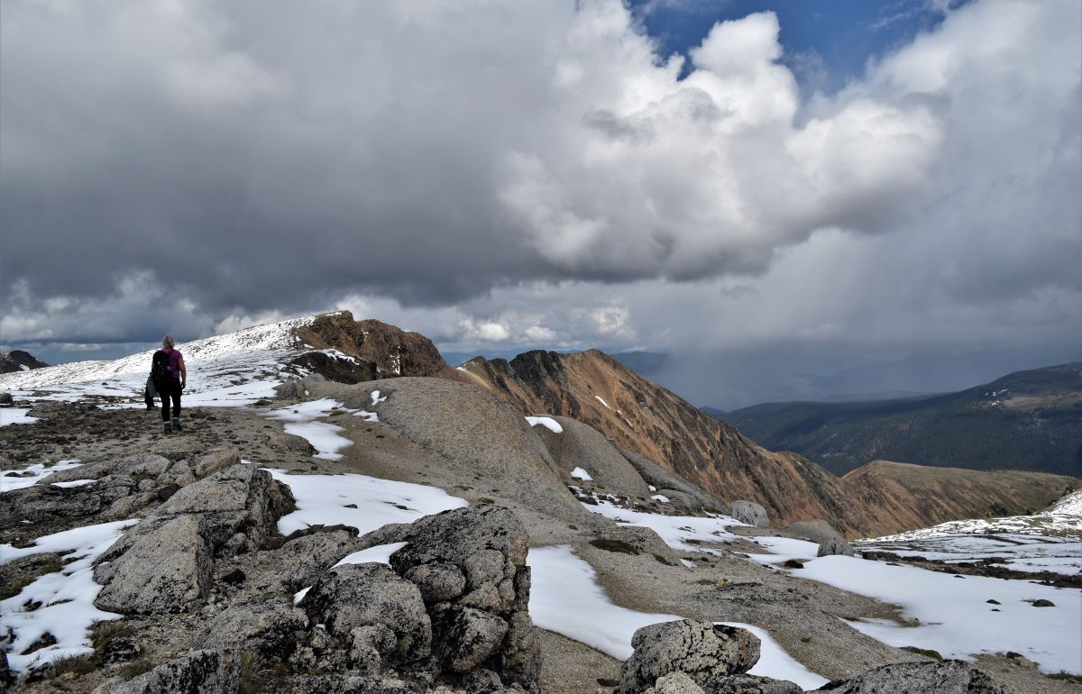
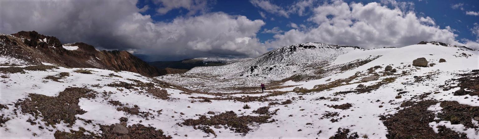
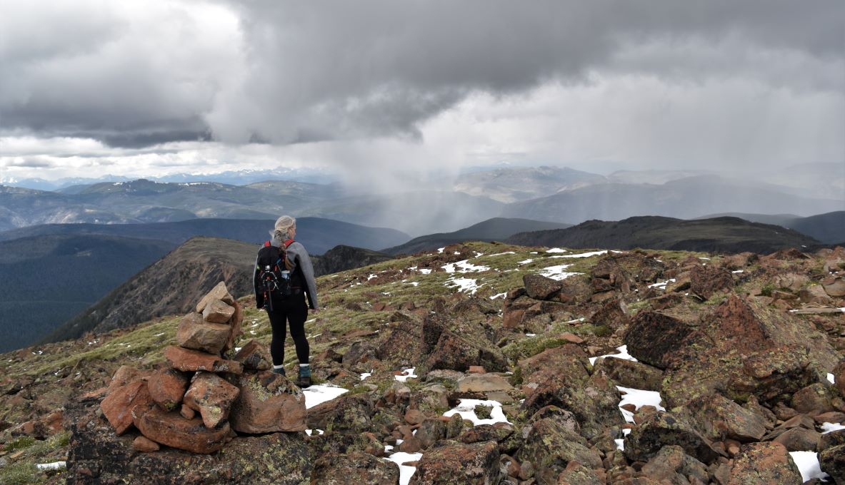
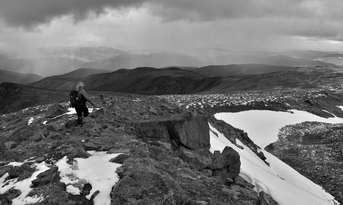
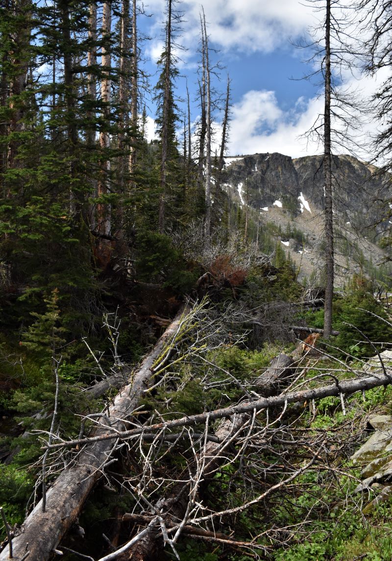
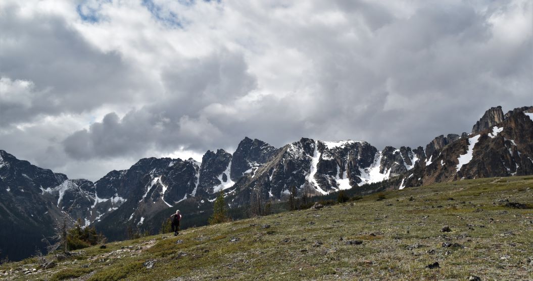
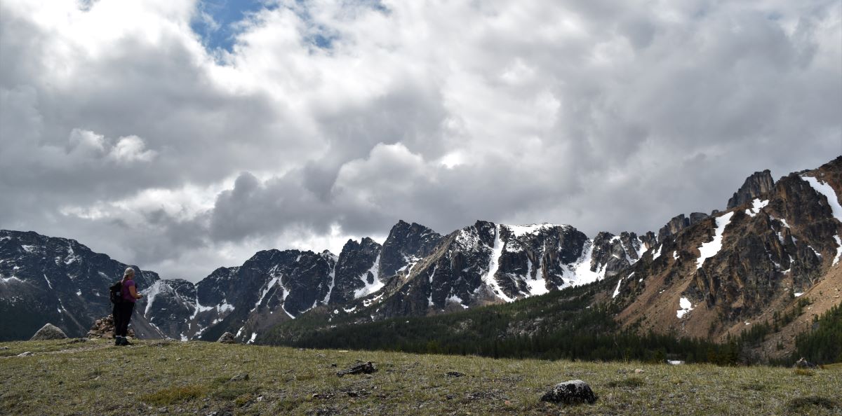
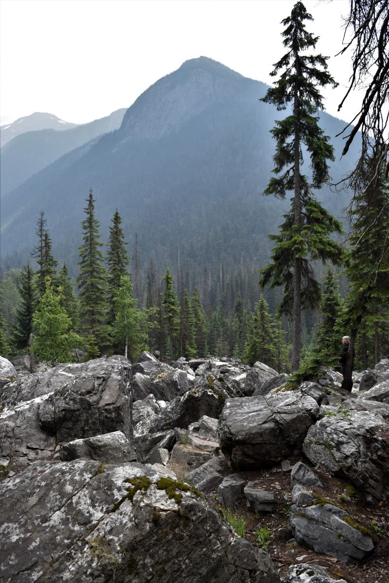
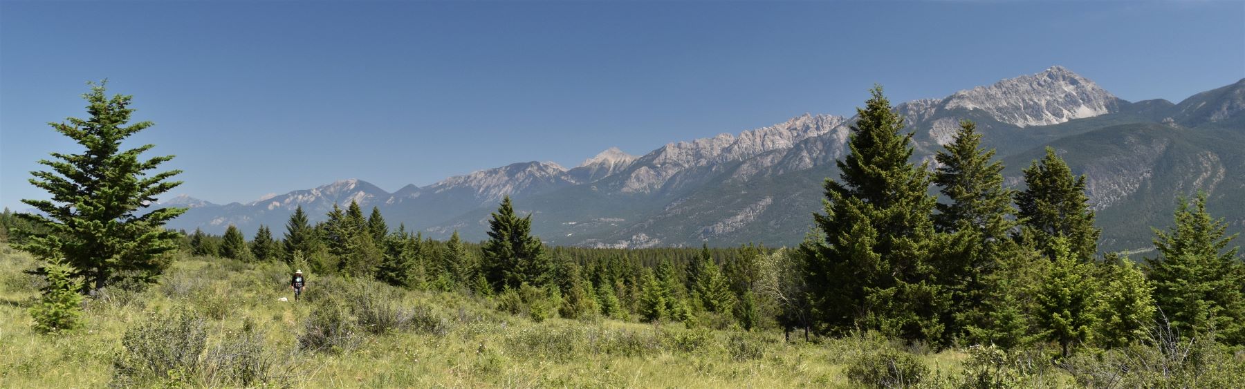
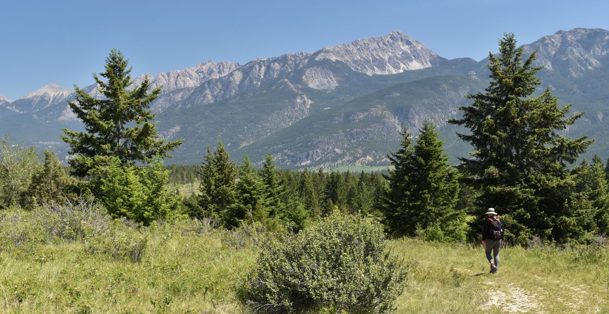
As you come up over the top edge of the ridge…..it’s a real WOW moment….. truly like being on top of the world…8300ft above sea level, surrounded by 80,000 acres of pristine, and difficult to access, wilderness. After the climb you try and catch your breath, but the views simply take your breath away.

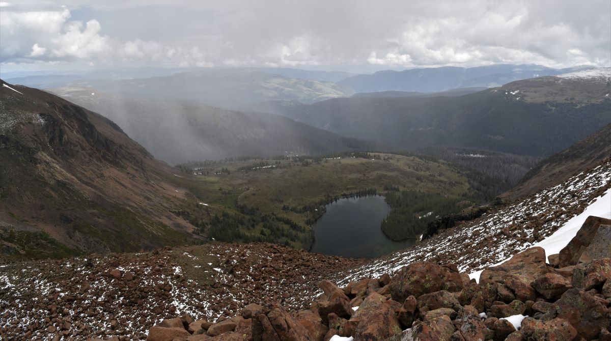
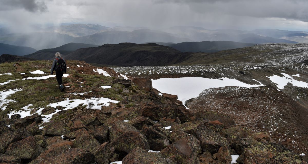
…and you can see the different weather systems for miles in all the valleys in every direction….
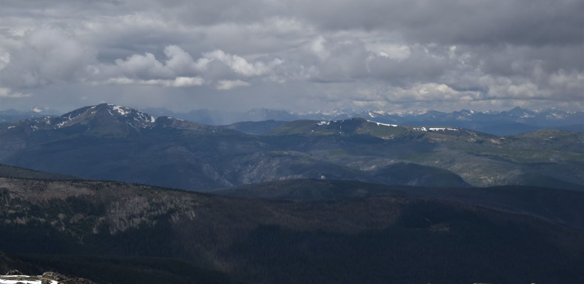
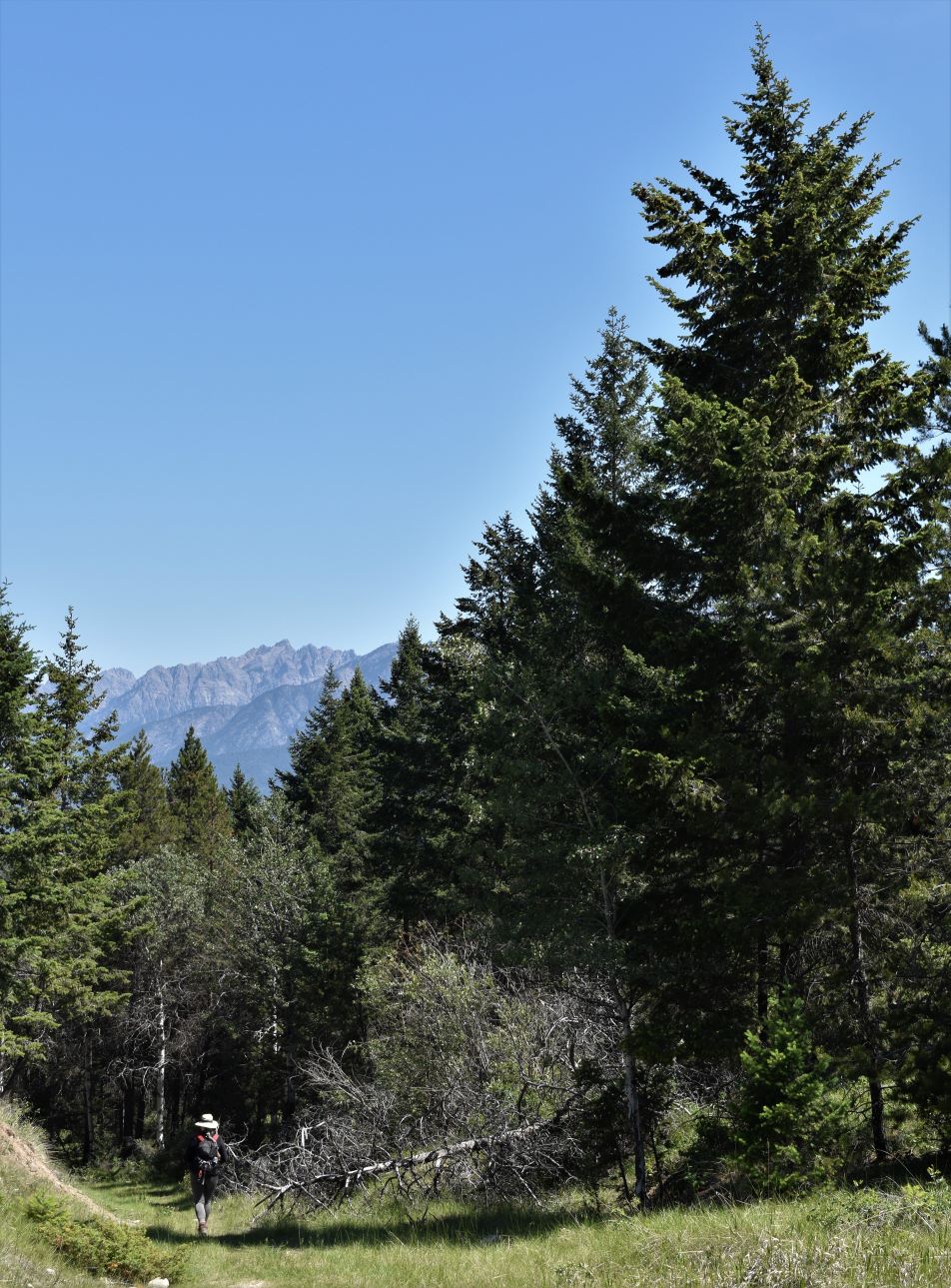
Once we collected ourselves and thanked our lucky stars, we joined the path (the dull and far less challenging one we should have been following..!!) around the rim, path is a loose description as it’s a vague line between cairns.!!)
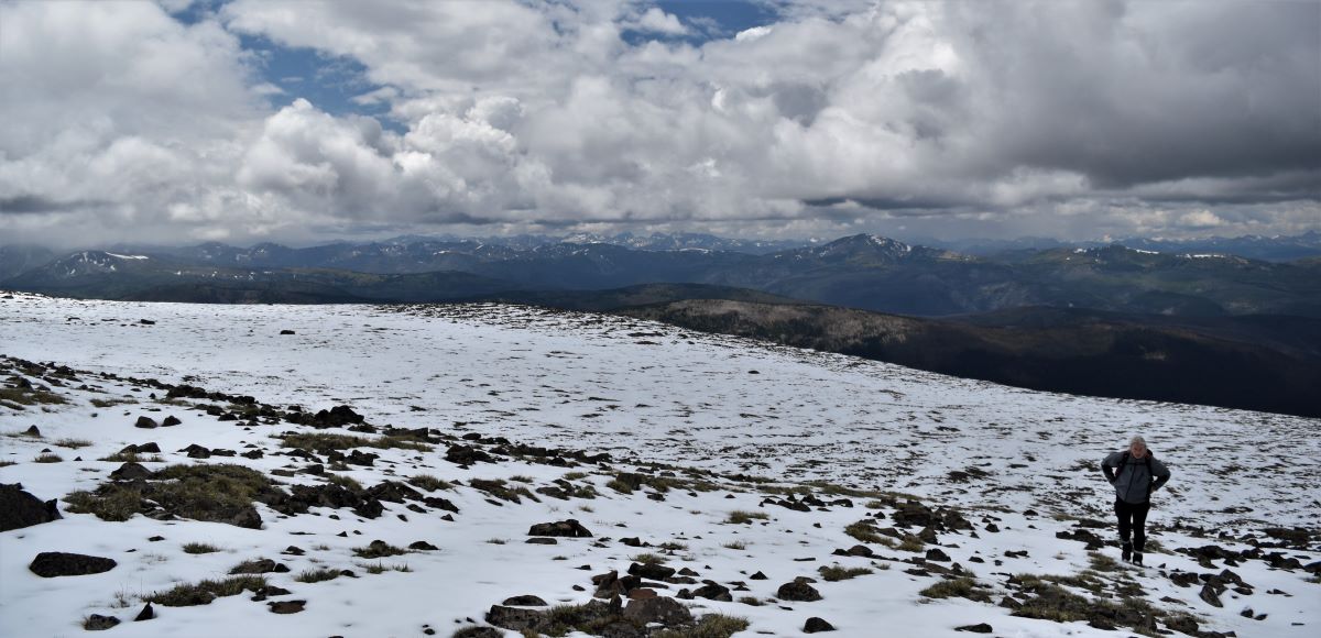
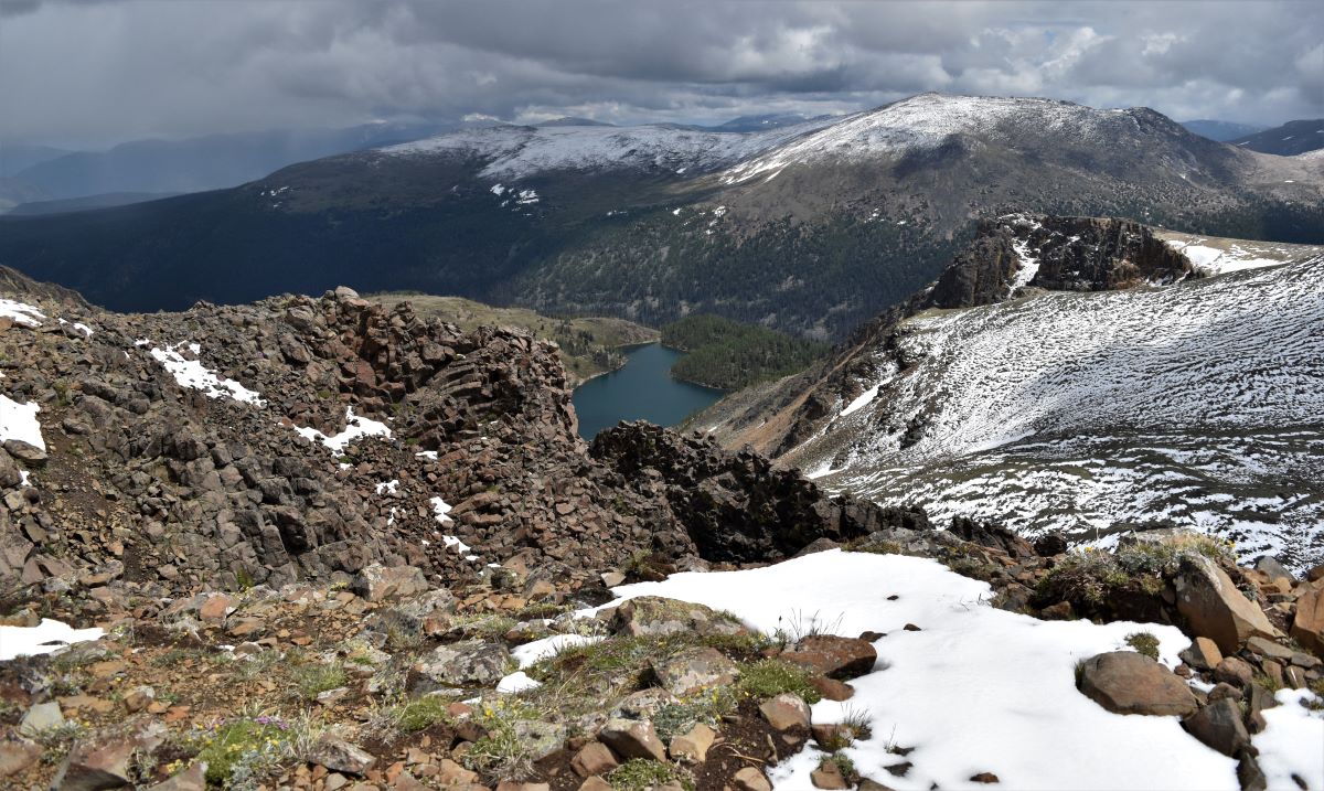
There was quite a bit of snow on the rocks up there which made walking rather dangerous, not quite sure of what you were stepping into.

We picked our way across the top…the views are beyond description……you can see forever up there and of the 610 named mountain peaks in BC, it feels like you can see about 500 of them (maybe a slight exaggeration) it really is like being on top of the world….
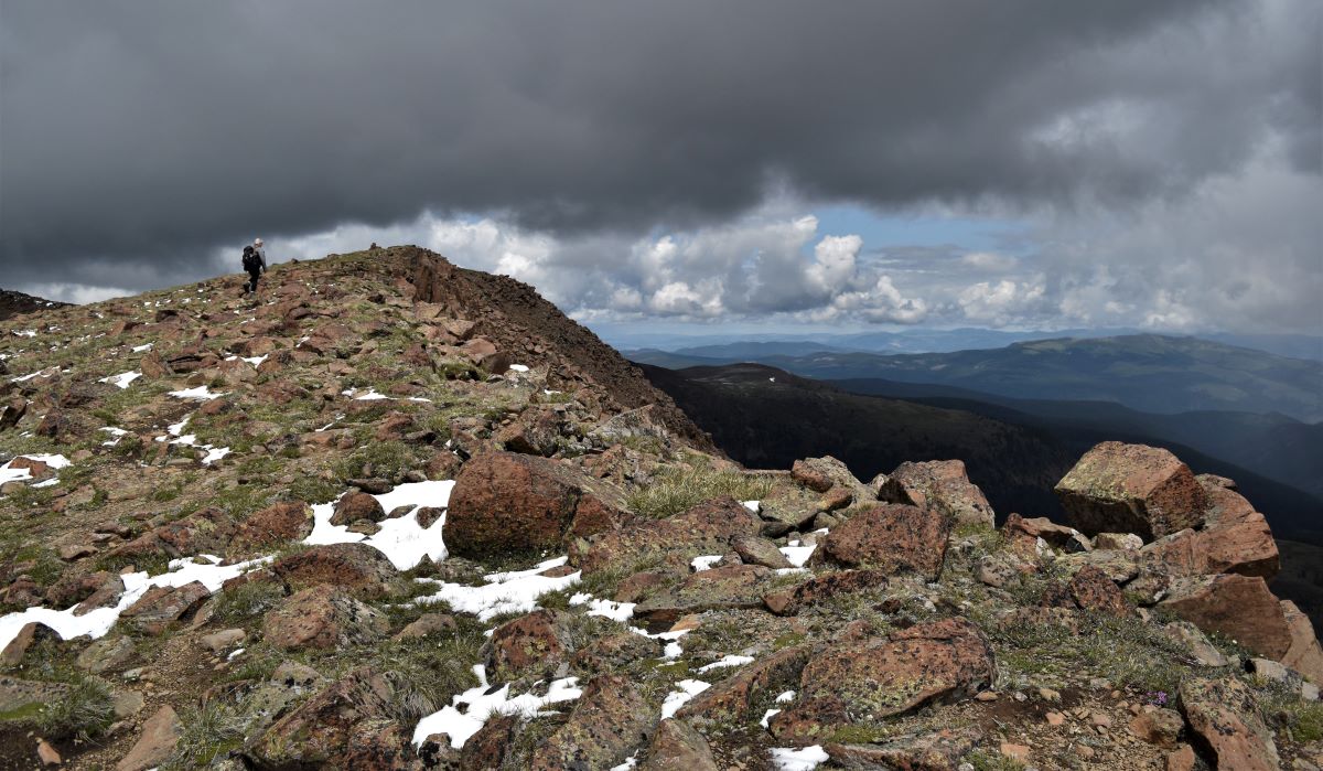
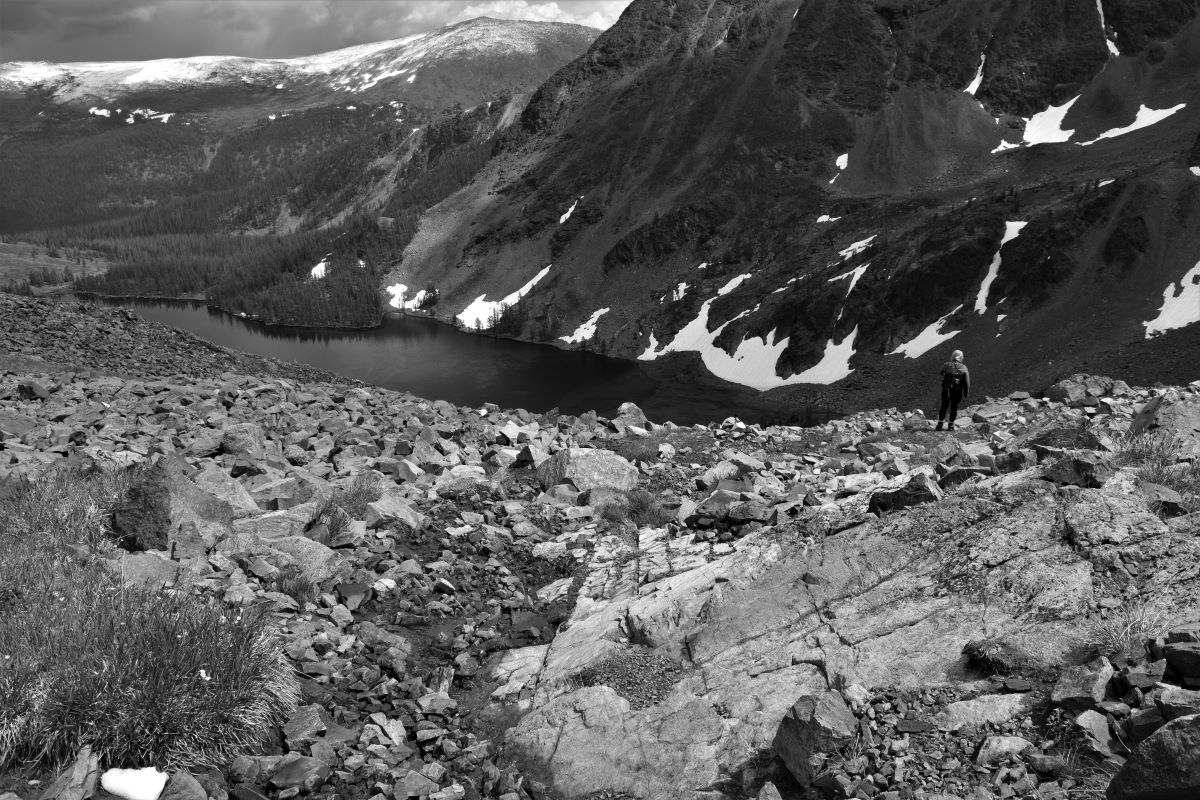
Even being on the edge of the rim…looking down the steep, steep valley into the glacial lakes below……maybe the last couple of years of driving and walking some of those scary, scary paths has altered my brains perception of those dizzying spots….or maybe it was just so breathtakingly beautiful that the vertiginous viewpoint is completely nullified…… but it was just ……. spectacular….like nothing we have ever seen before.

……..and then it was time to come back down to earth.

Even with the waves of weather blown in by that biting wind, ice pellets, snow and cloud there could simply never be enough time up on the rim …….
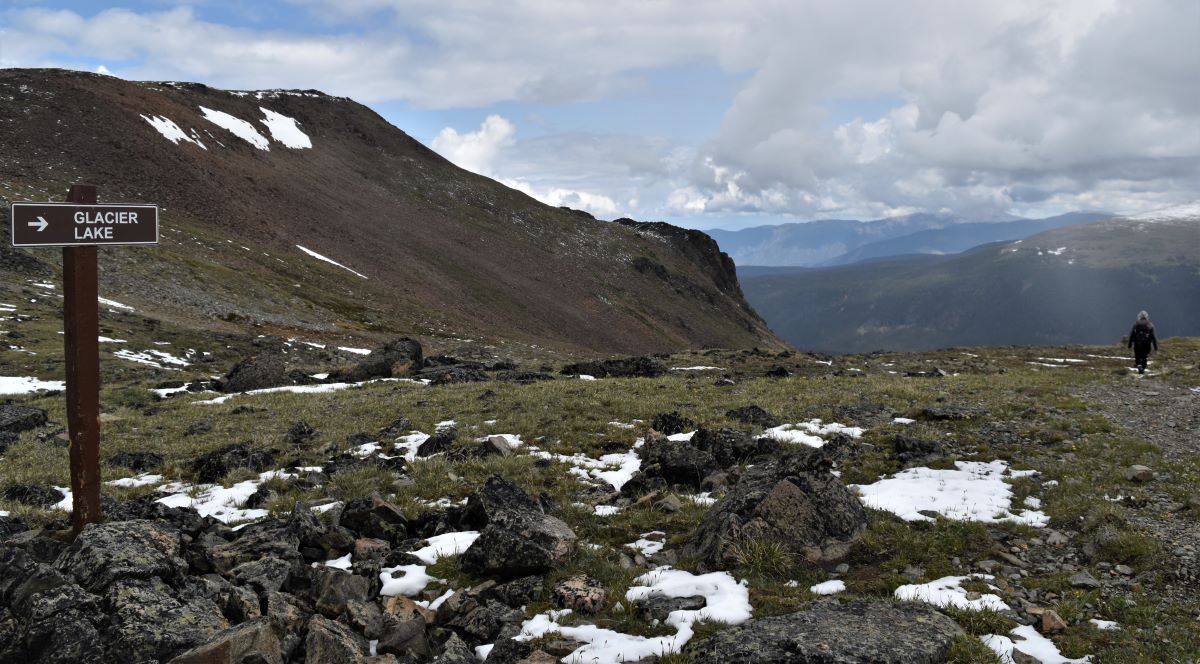
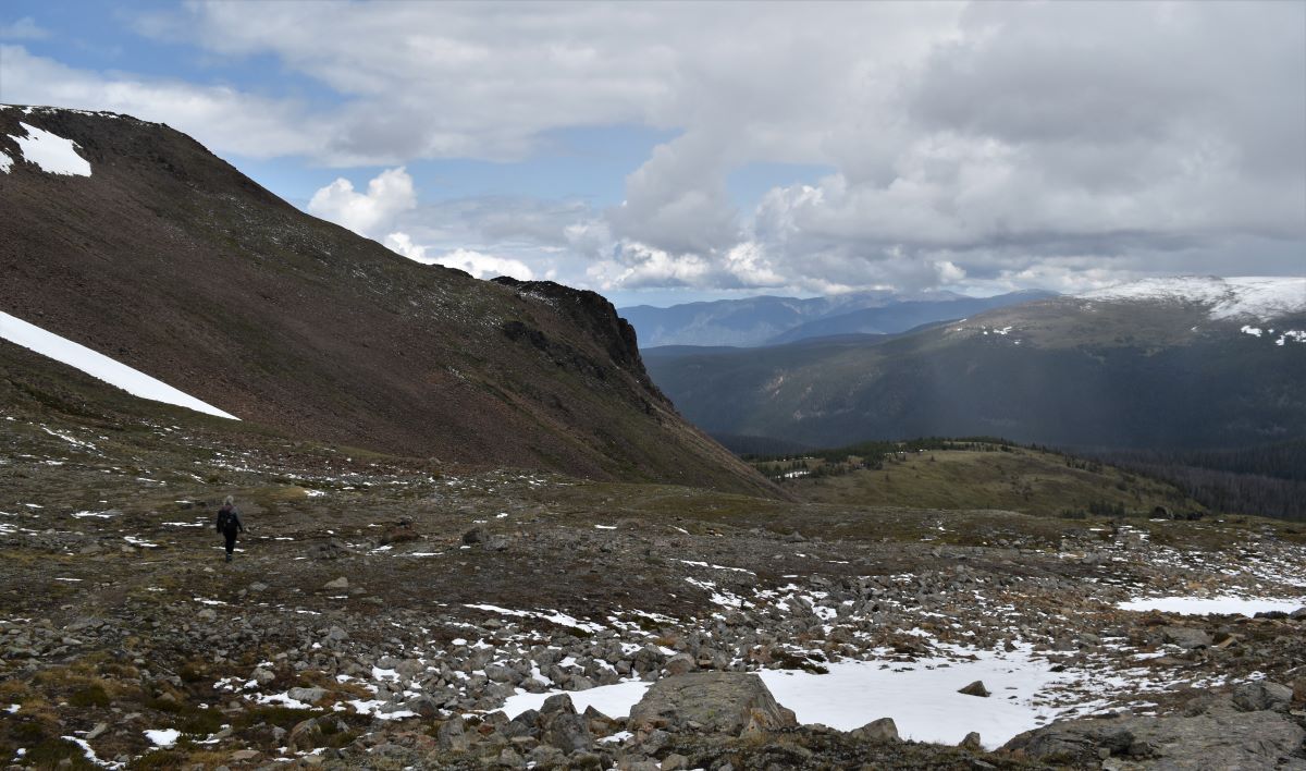
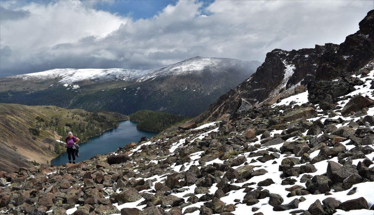
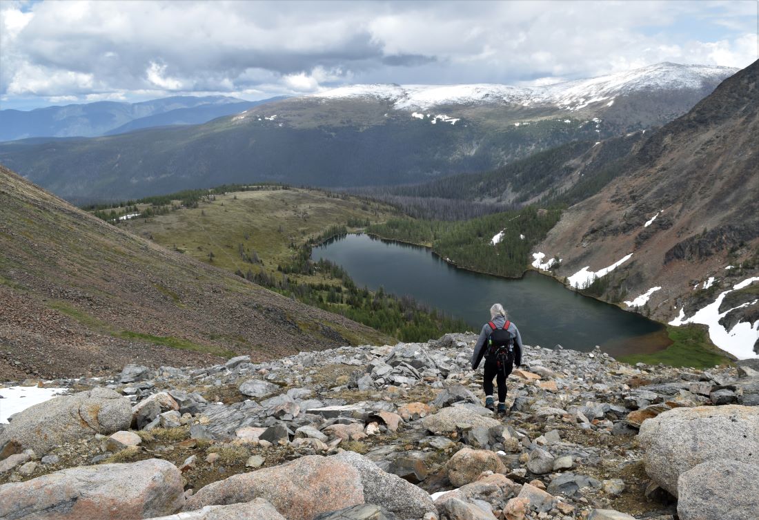
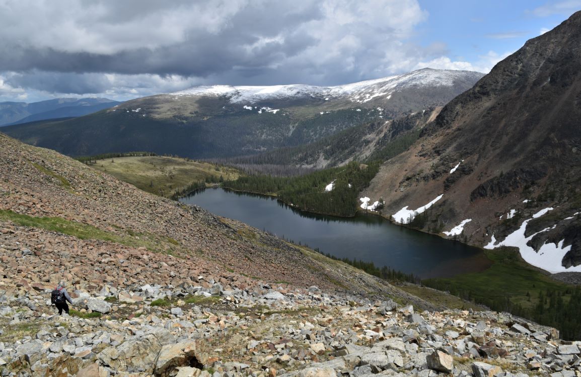
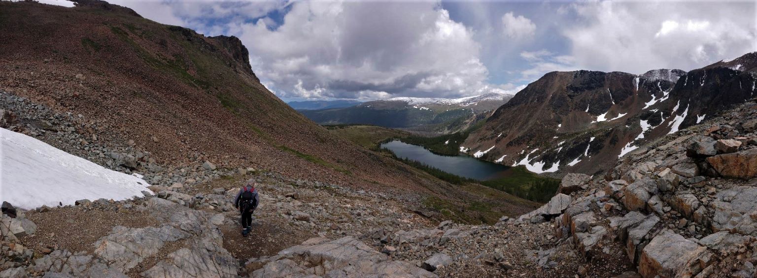
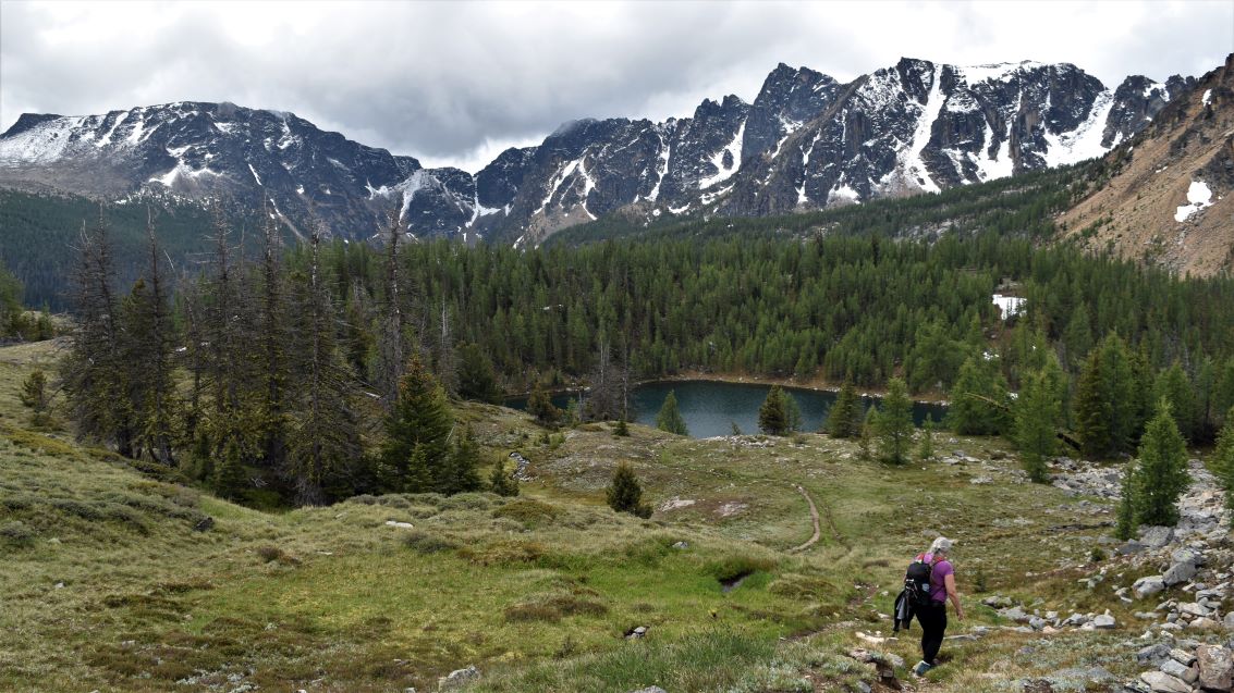
Down towards our 4th lake of the day, Glacier Lake.

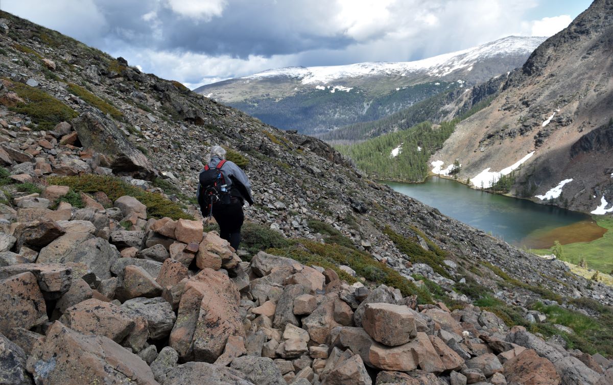
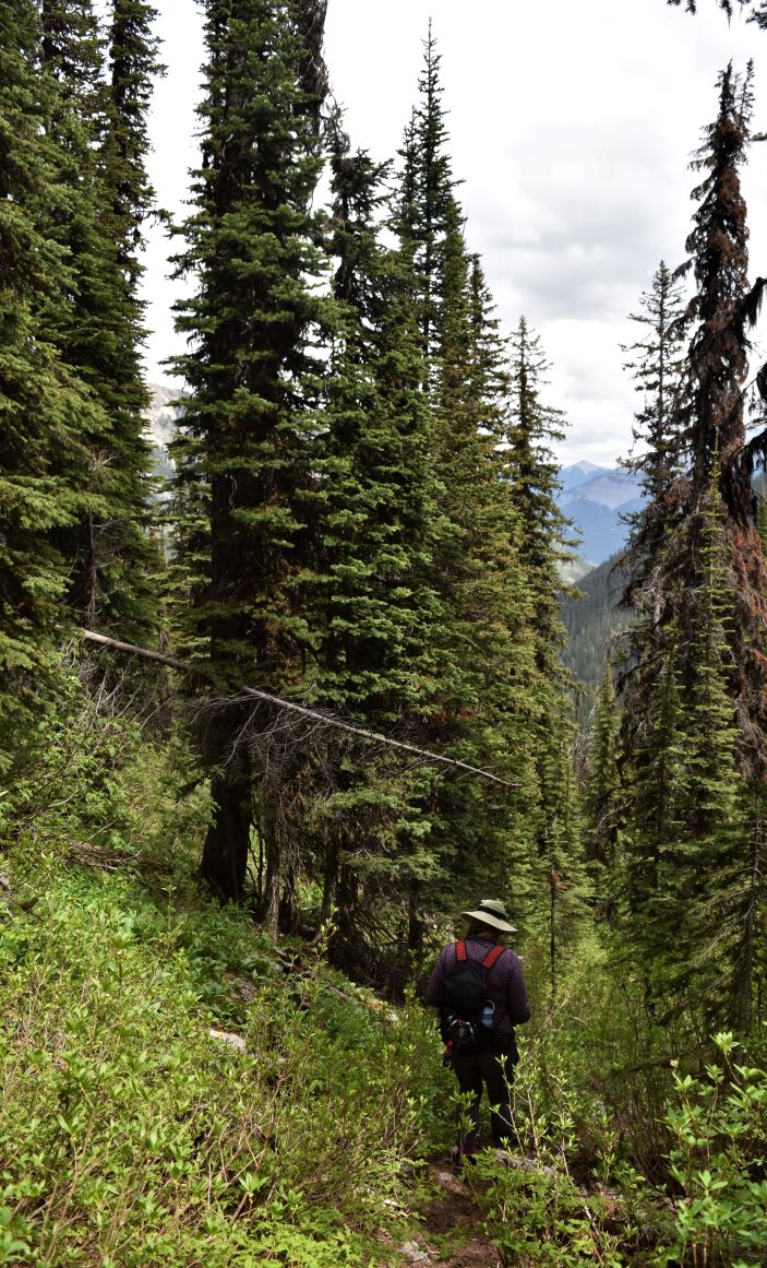
This was one of the few occasions where going down was LESS scary than going up……

I am sure the distraction of the view down into Glacier Lake also helped…
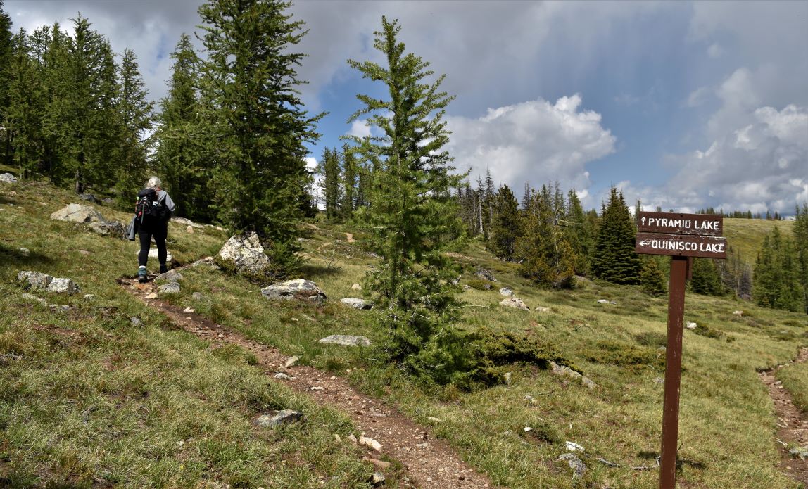
The steep path gave way into a gentler incline ……

…and on very tired legs we made it back into the camp with about an hour to spare on our time limit.

As we arrived, there was a big group of high school students arriving in these amazing Unimog Mercedes ex-army vehicles. I am sure these little trucks managed the road very well……but it must have been quite the bumpy ride for this group of 17-year-olds. Quite the life experience for them….
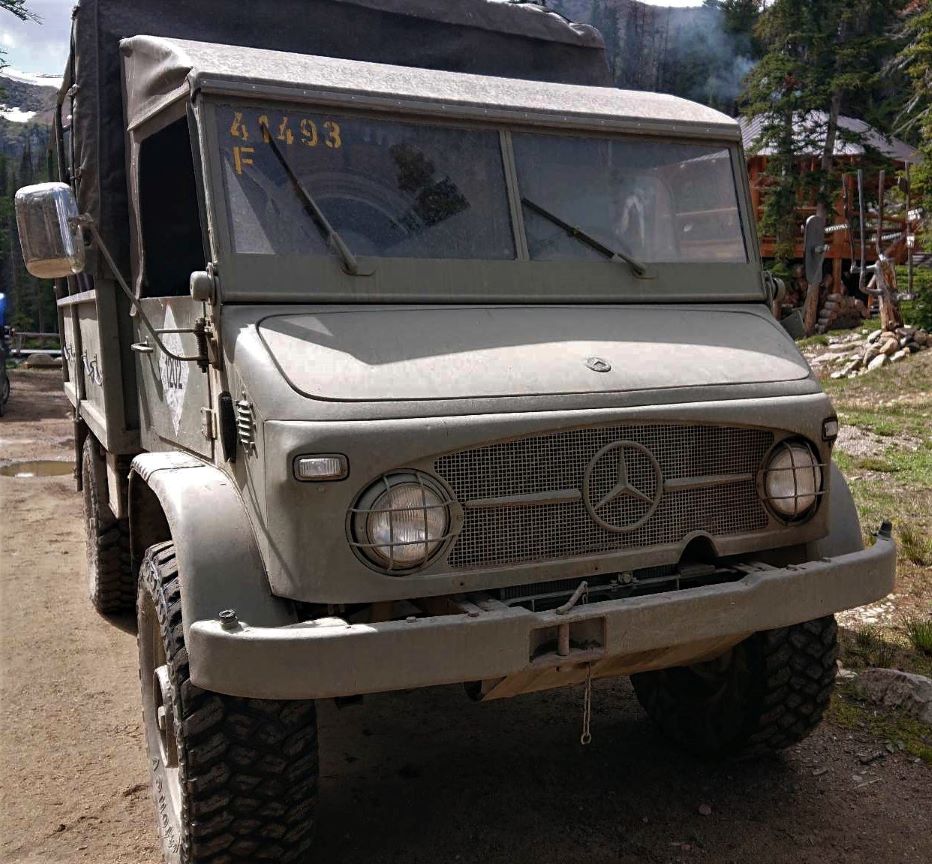
The ride back down…13km and hour and ten……..and it was like a slow-motion rollercoaster….with mud puddles. Kudos to our driver……he was amazing.

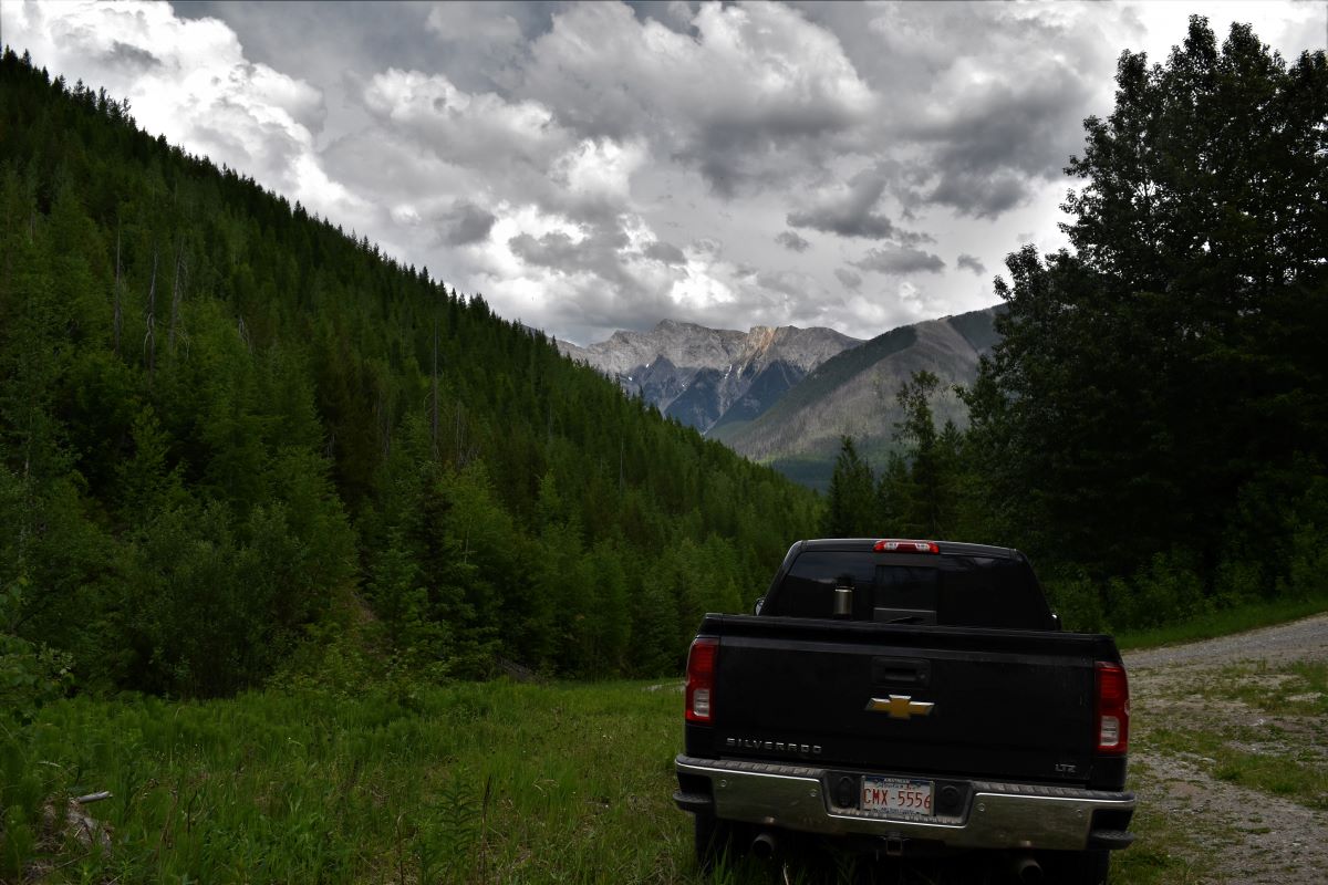
Then back to the truck for the drive back down Ashnola……which is itself such a beautiful, remote, unspoiled place. We met a few wild locals on the way….

The only reason this place is not on more bucket lists is because most people don’t even know that it exists……..the photographs can only show a fraction of the scale…and the magnificence of this place….

We had high expectations and even those were completely blown out of the water.

Best $300 we have spent in a long time..

My only concern now is that the next places we go just don’t measure up….

We walked climbed hiked from 8.50 am to 3.20 pm…..with no real breaks other than me stopping on the way up the hill to wait for my heart to stop pounding enough to contnue…..and it felt like maybe only a couple of hours at the most.

(Editor. For those who have followed along with us, you’ll appreciate we have been a lot of places and seen many things. We’re often asked what our favourite is, and up until now although there are many we’d happy to return to, picking a No.1 was impossible. That changed with our visit to Cathedral Park which has a scale and majesty that is beyond comprehension and is a place we hope to return to many times. If you have, or can make, the opportunity to visit then please do, it’s an experience of a lifetime. I hope the photos give you enough of a flavour to provide the necessary encouragement)

Extra pix

On Top of the World looking, down on Creation (1).

Cathedral Park part 1 …..the journey up.

This hike had become a bit of a bucket list thing…….having had two failed attempts at getting into Cathedral Park in Oct 2021…the first time cos we just did not understand the scale of the thing.(click)…and the second because it was just too far to make it in one day. ( click).

( I highly recommend clicking on the pictures in this episode……some of them are spectacular..!!)

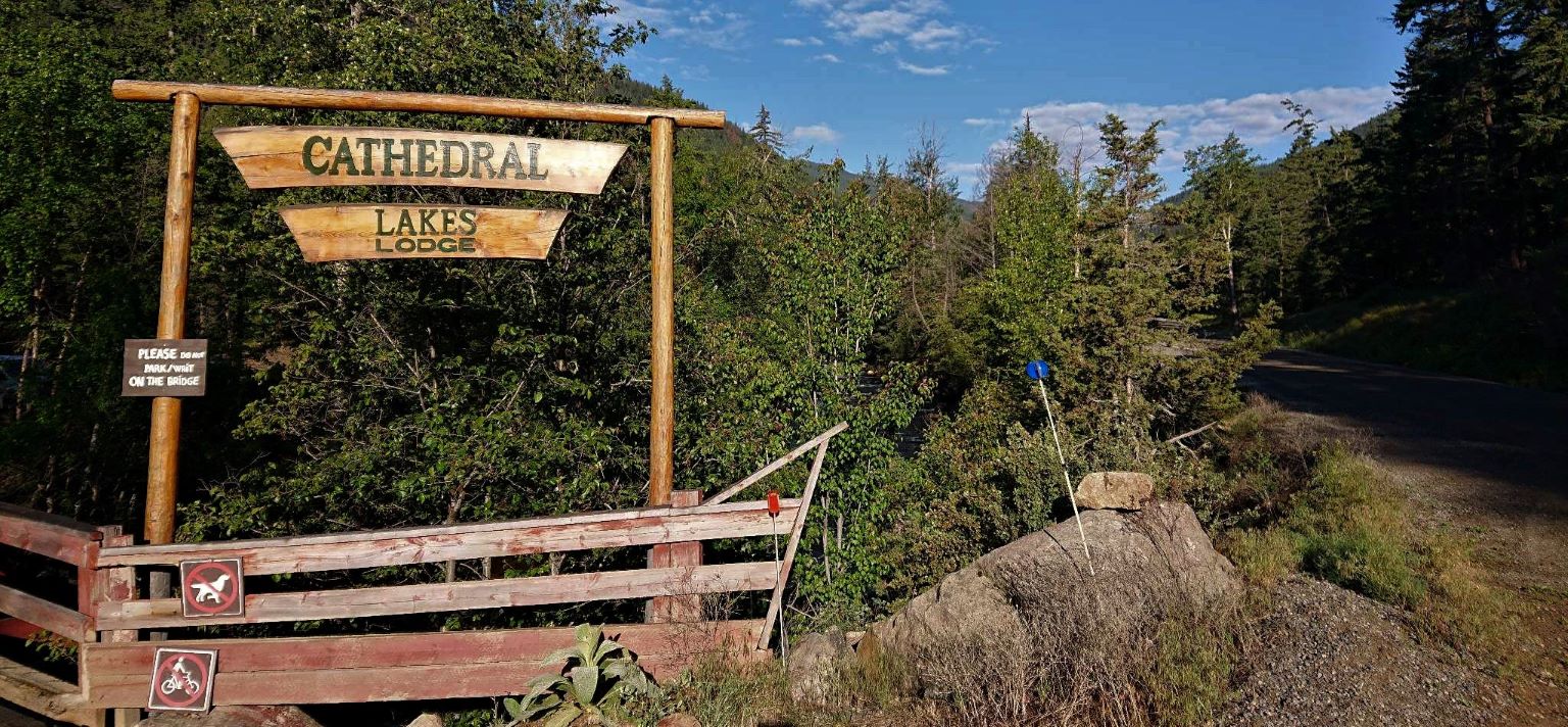
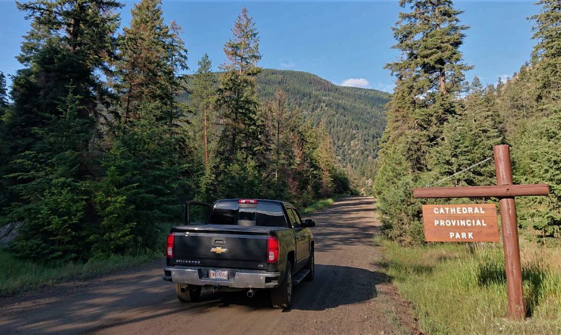
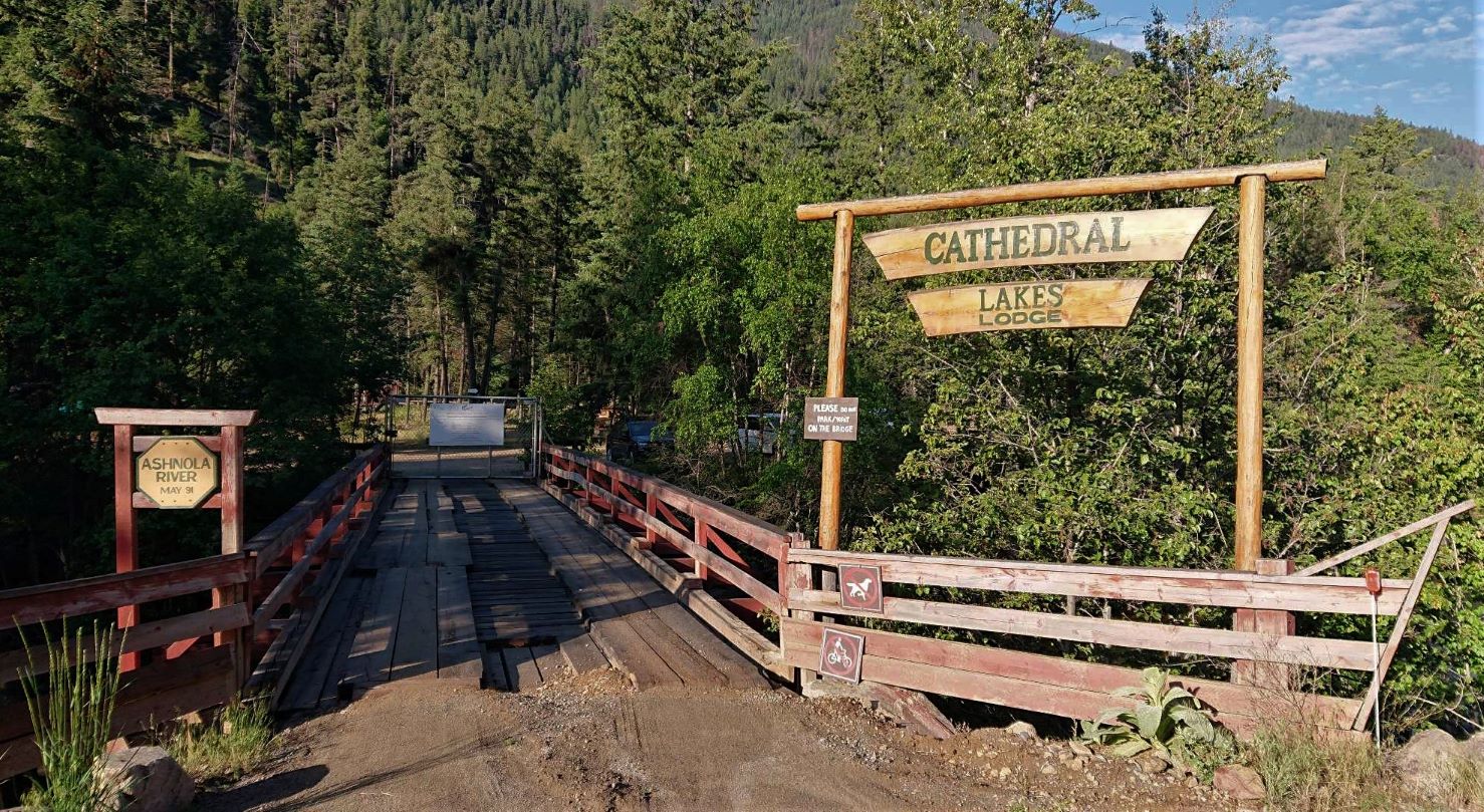
There are only two ways in, hike the 16 km walking trail from basecamp to the highest wilderness camp in Canada at 6800 ft above sea level and then camp…….or book the transport in with Cathedral Lakes Lodge ( click) utilizing the only (private) road in the park. Transport is only available from June to September, depending on the weather. In 2021 we were just too late in the year, but this time we were set to book in June and as luck would have it, we’d be daytrippers on the longest day of the year.

We had to set off from the trailer by 6.20 am to arrive in enough time to munch down our brekkie sammiches…and make sure we made it in good time to the gate. We were up early enough that we spotted a black bear strolling up the side of the road on the way there.

As it turned out…that was a very good move because the guy who was driving us up (we were the only two day trippers that day) was ready to take us up early. That gave us about a 40 minute start on the day getting up there. ( Early bird = worm 😁 )

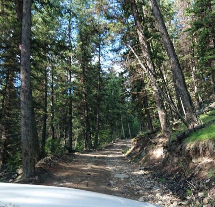
Having walked part of this road before…I could not even imagine how someone could get a jeep up without a winch. It was stomach churning on foot….!!! Turned out it was not a jeep..!! it was a Chevy Suburban making the journey up. Our driver had been driving this road for 33 years…….and he made it seem remarkably easy, knew where all the bumps, channels and ginormous rocks were.

It’s a 13 km drive which took us an hour to get there…and I have to say …even if you could…you would not want to go any faster.

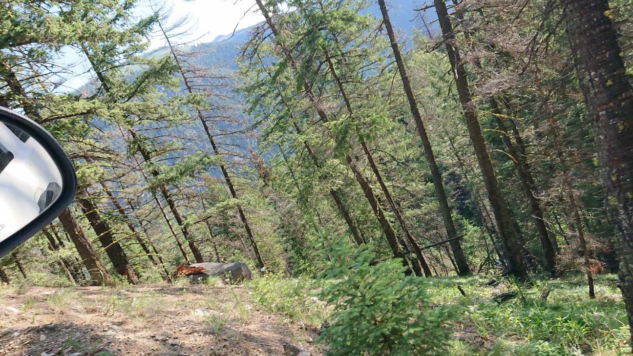
The trip up itself was an adventure. I must have been on enough of these ropey BC logging roads cos I surprised myself I was still conscious looking at some of the sheer drops off the side of this very narrow…very ‘rugged’ road….!!

What seemed like maybe halfway up…..it was difficult to track time on this journey…we crossed the Lakeview Trail…..the one we attempted before….

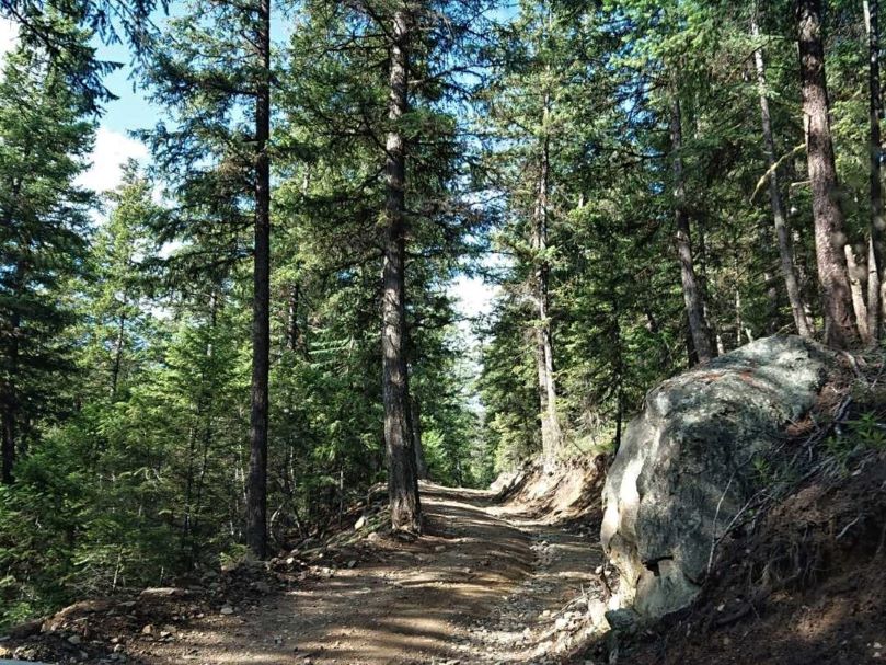
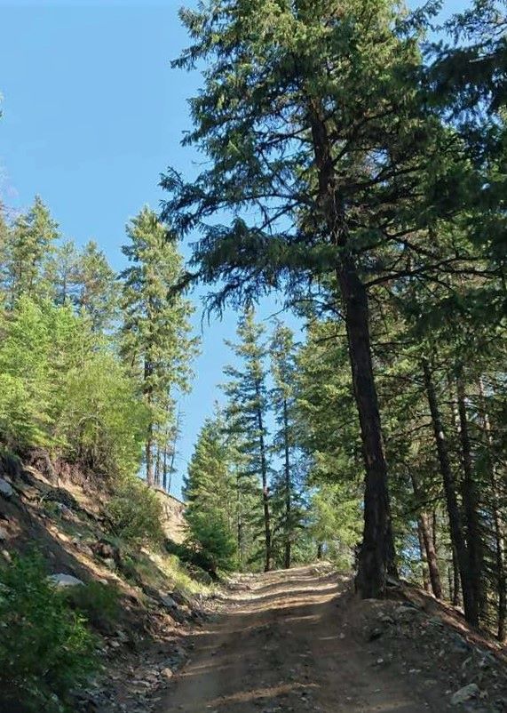
It’s so difficult to show just how steep this path is with photographs but nigh on impossible to take those pictures as the truck bounces over the rocks and through the little washouts on the road.

The driver told us it takes them several days to open the road in the spring because of the number of fallen trees and washouts they have to repair.

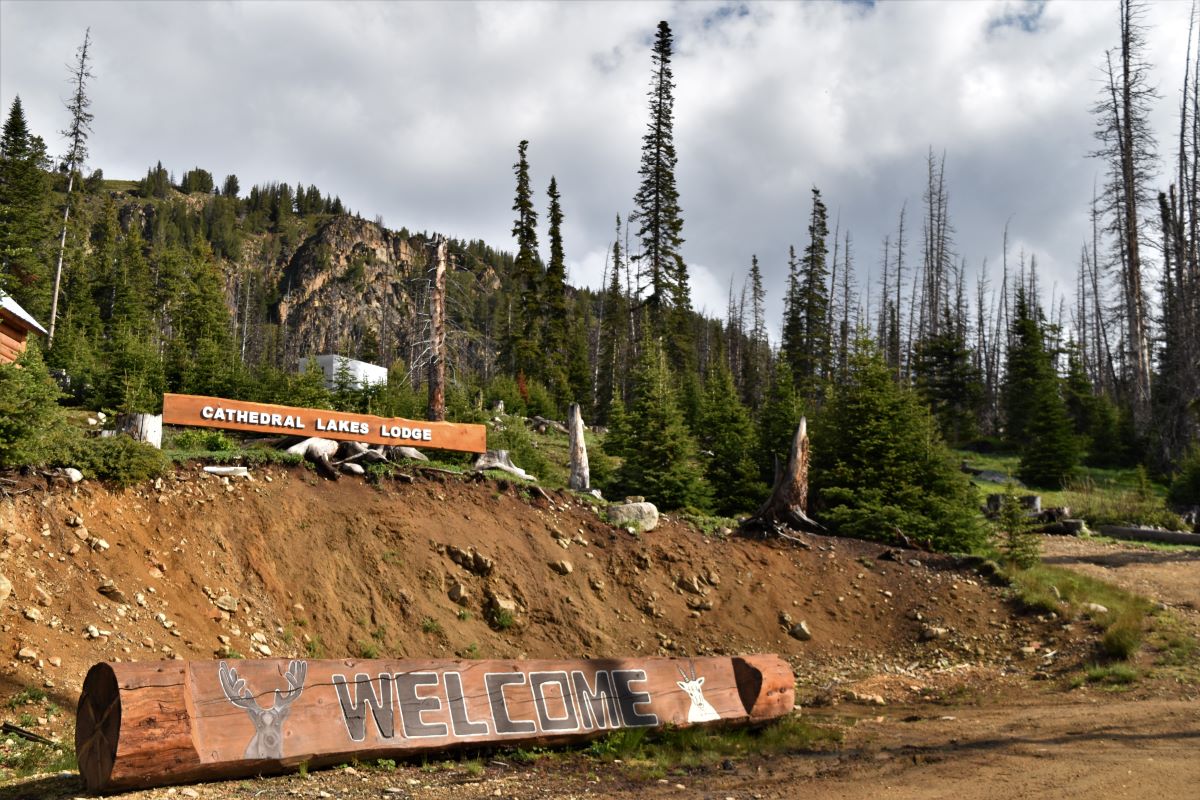
The camp…when you eventually get there is beautiful. There are cabins and a lodge up there. Sensible people would book accommodation with the meal plan (the reviews for the meals are pretty good..!!) . If one wanted to do any of the hikes up there the whole experience…with the comfy bed, the hot tub at the end of the day and the meal plan. ….and the very friendly very helpful staff, would probably be the way to do it.

The requirement for everyone is to sign in and provide their route for the day (and the direction of travel)……just in case you need fetching off the mountain before the predators come out to dine…..!!

If, and when, you do return from the hike the map needs to be picked up to effectively sign out and indicate that you have returned safely. (There are bears…grizzlies…..and mountain lions up there…!!)

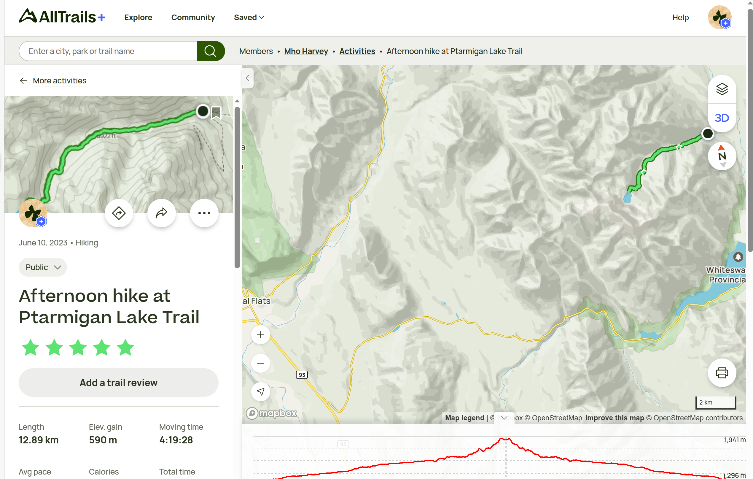
The route we picked was blogworthy but I would not necessarily recommend that anyone else follow it..LOL… We tried to pick out a trail using Alltrails that would allow us to get up to the rim trail…..and make it back down..maximising our hike within our limited time yet still getting back without having to be rescued..!!

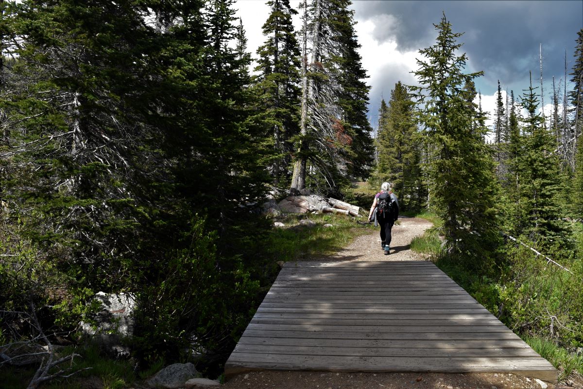
The beginning of the trail from Quiniscoe Lake goes through some of the camping areas. ….complete with the hoist thingies to keep your food away from the bears…!!!

We headed for Lake of the Woods……..the first lake of the day….

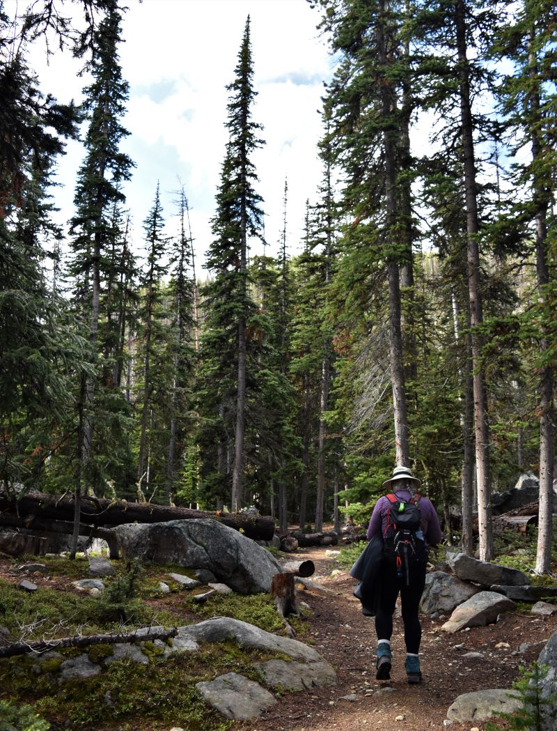
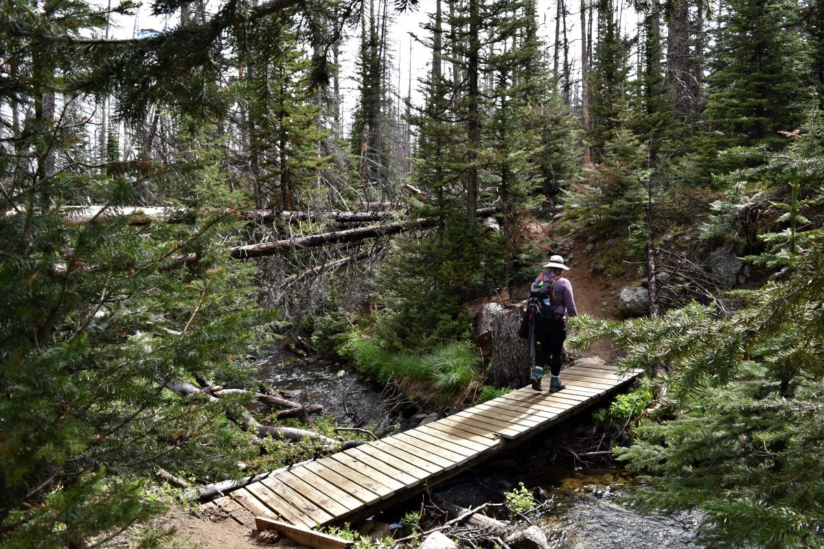
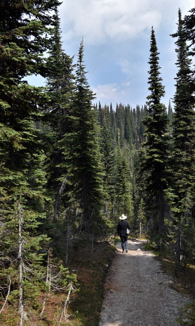
For what is most definitely a challenging hike…..it starts out gently …and is oh so pretty….

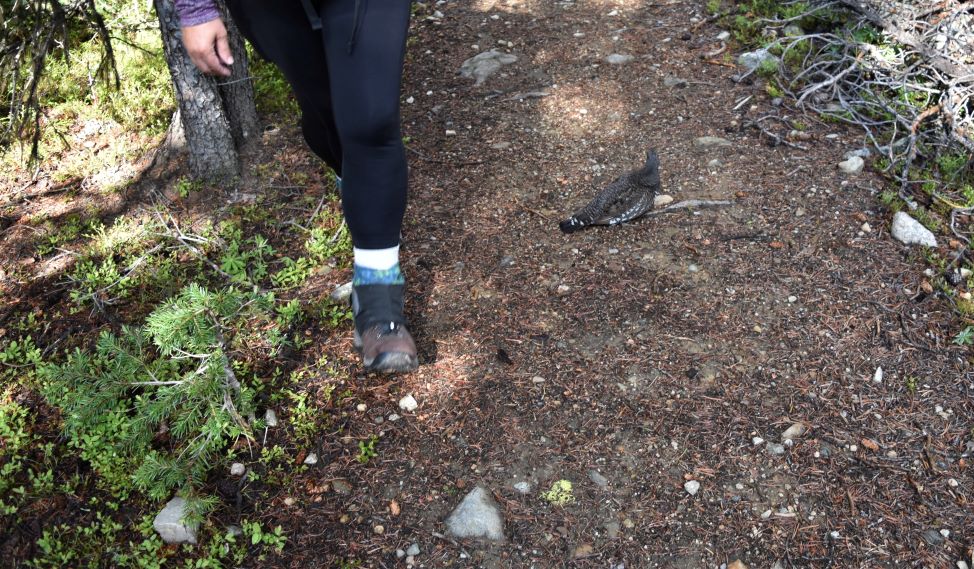
We met a partridge on the path. I’m thinking it was cold because it did not seem much interested in moving off the trail……

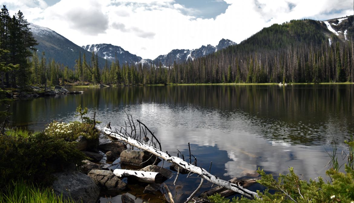
….and then around the Lake of the Woods……

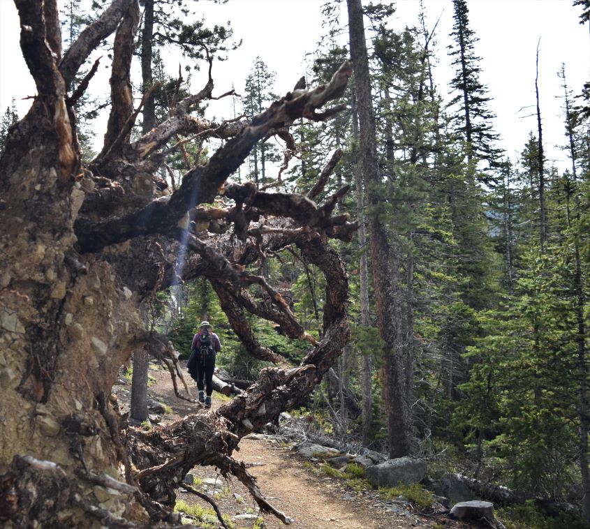
After the lake the trail did start to climb a little…….

We had lucked out with a really lovely day (first day of summer..!!) the folks in the lodge informed us that it had been snowing up ’til the day before…!!!

…and then the trail started to climb a bit more seriously…..

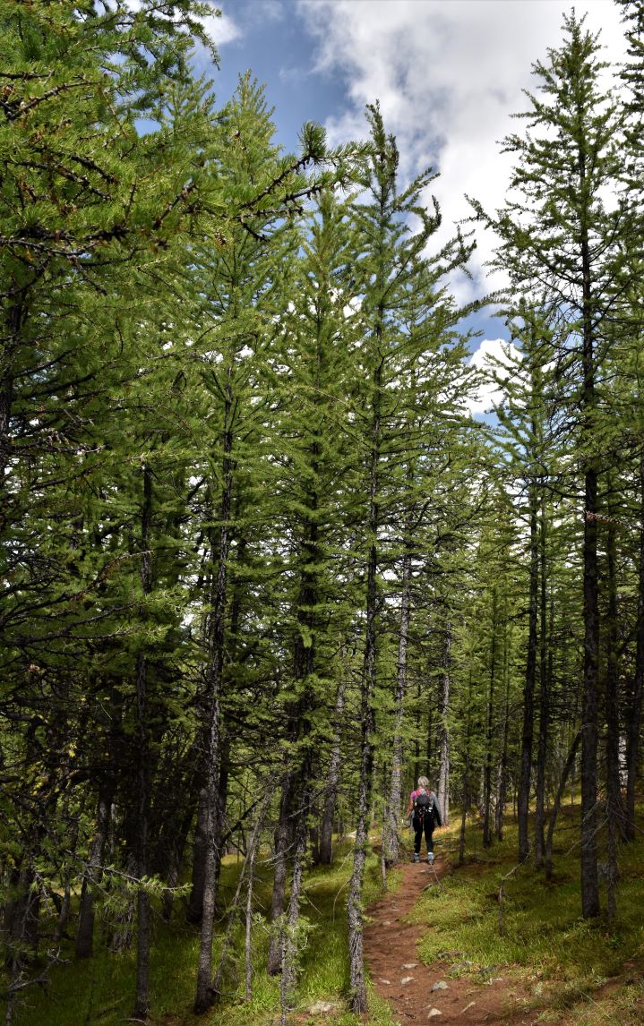
…with some switchbacks heading up in to the forest……

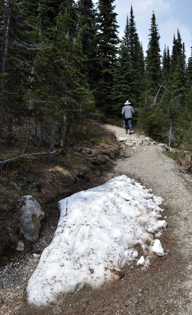
…until we were high enough to be in snow…..

…then we reached the first peak of our trail crossing the shoulder of Pyramid mountain to take us down towards Ladyslipper lake…

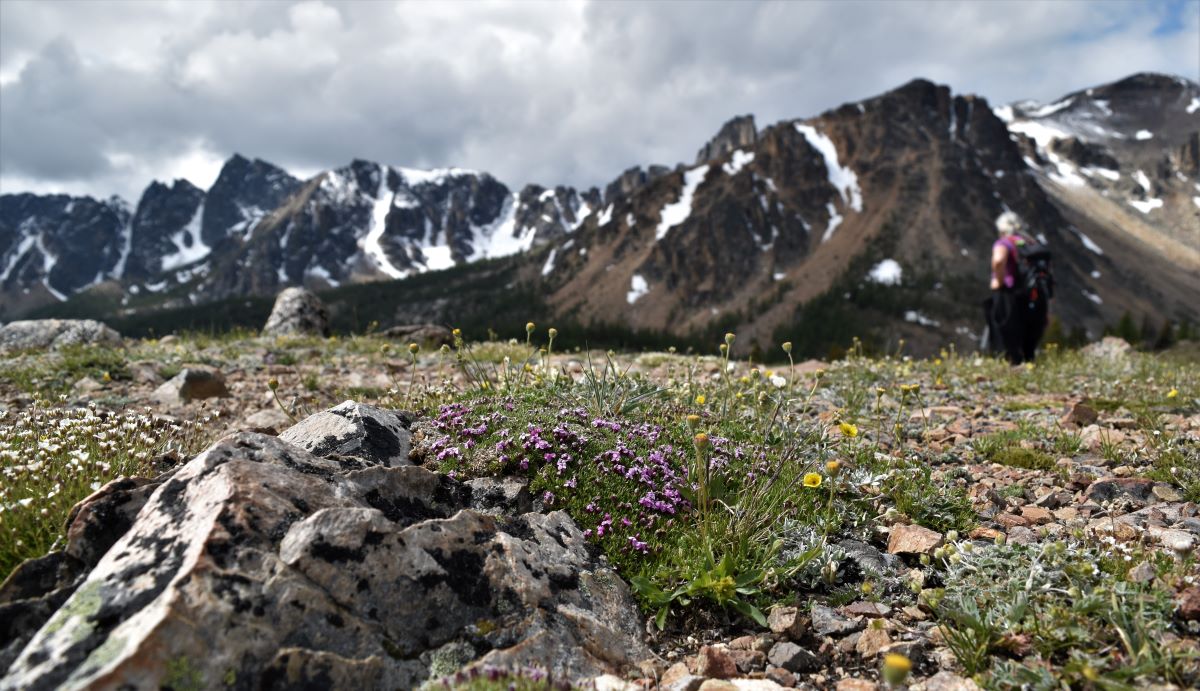
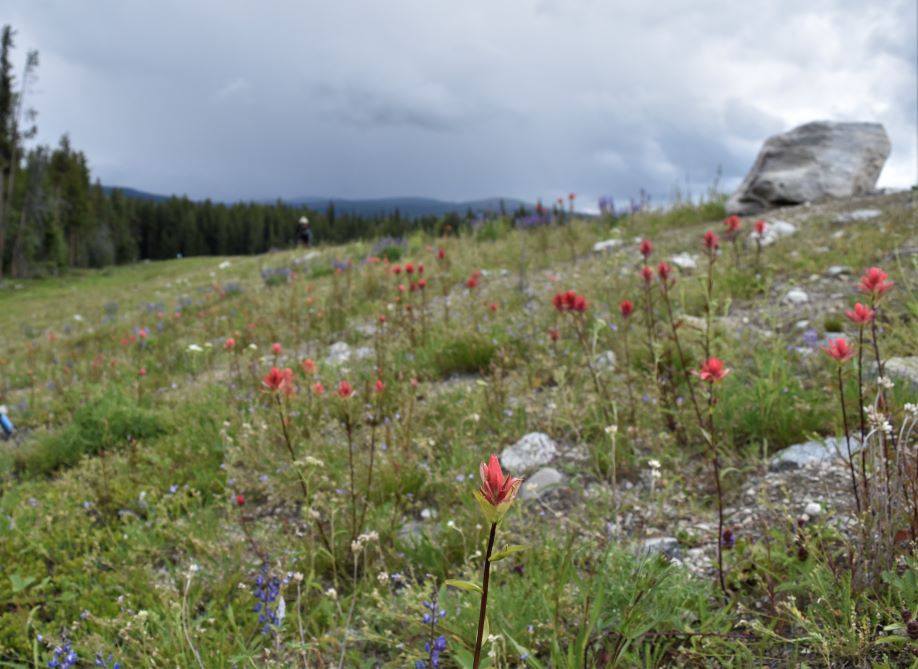
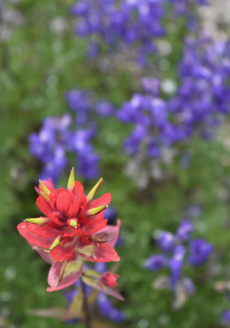
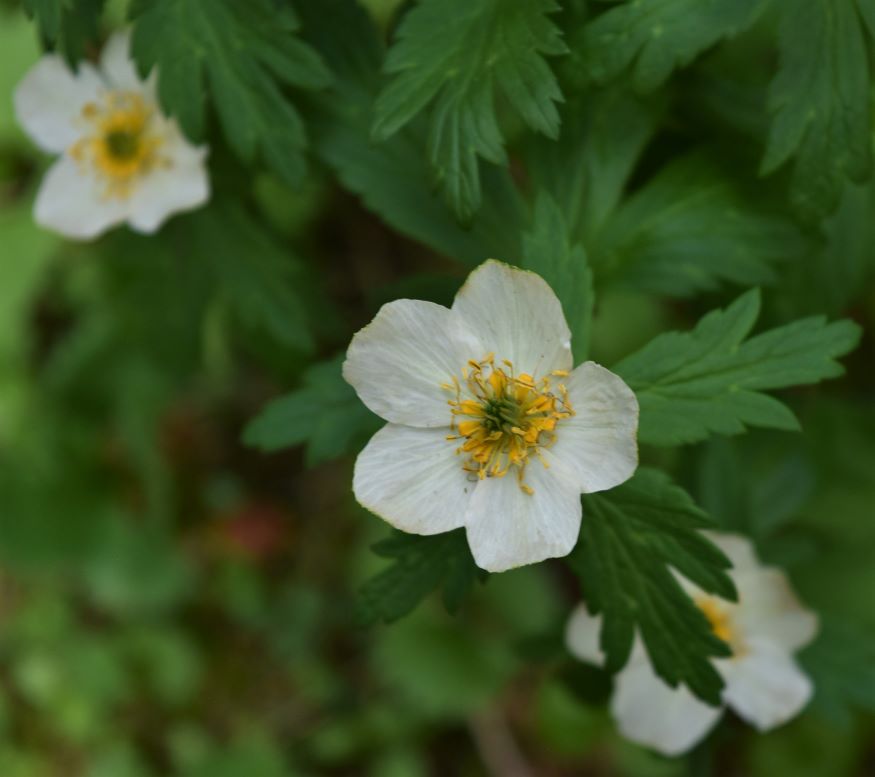
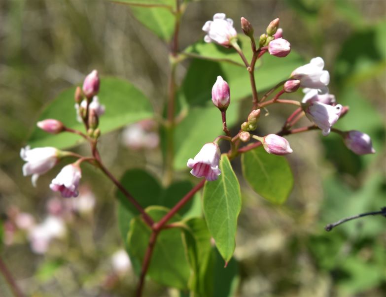
The range of alpine wildflowers was quite spectacular up here…….the mountains above and below….breathtaking…….

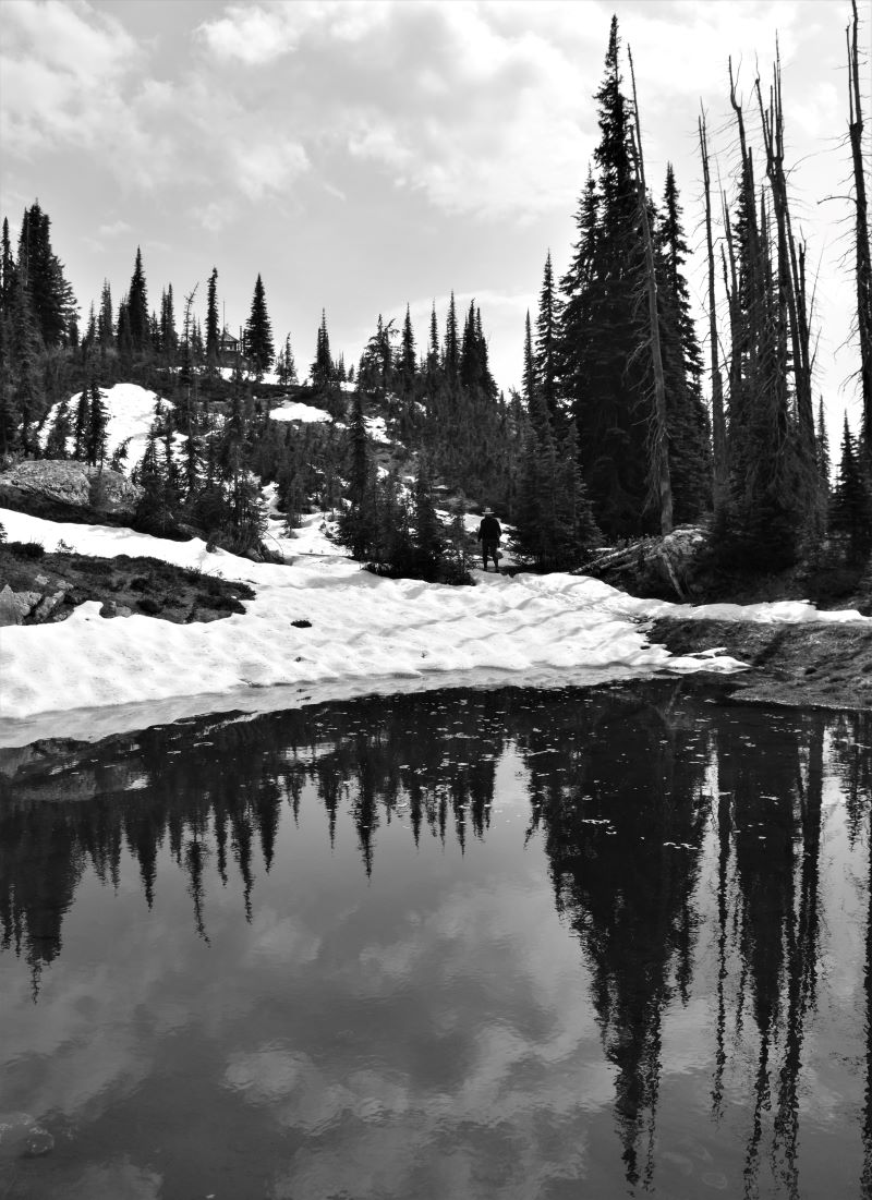
Its hard to describe the feeling descending to the edge of Ladyslipper, it’s one of those almost ‘otherworldly’ places and so beautiful….

The trail we had picked out took us along the edge of the lake and then up to the ridge to follow the rim trail…..

…..but that’s the next installment….don’t touch that dial.😁

Extra pix.

Snpintktn……a place to stay forever…

Penticton….the name is derived from the Salish (indigenous language) word which means roughly…a place that one can stay year round. The city of Penticton adopted it as their city slogan….slightly modified.

From the disappointment of Mount Revelstoke, between the weather and Parks Canada fire management, we tested the wind and it spoke of a brilliant plan. Re-visiting Cathedral Park. Last time we were in the Okanagan it was late in the season, and then too early in the spring to either get the transport in, or for the daylight hours to be long enough to get us into the core.

Here we were a few hours away and quite literally around the longest day….it seemed like the obvious choice.

We secured a campsite at our old winter stomping ground at Wrights Beach Camp on the northwest shore of Lake Skaha, hitched up old Xolo and off we trotted.

Back in Penticton again, set up in what feels a bit like home from home (having spent the winter of 2021 here) ……the search was on for a trail to stretch our legs out in prep for the BIG hike.

Looking around on alltrails it is surprising just how many of the trails we have done here….or ones that neighbour or cross ones we have done. We found an interesting looking one up the Carmi Road on the east side of the valley….this one led down to the Ellis Dam…which holds back the reservoir for Penticton. Something different…let’s give it a go….

It was an easy walk as we were intending to save our legs for our epic journey up to Cathedral Park (yet to come)

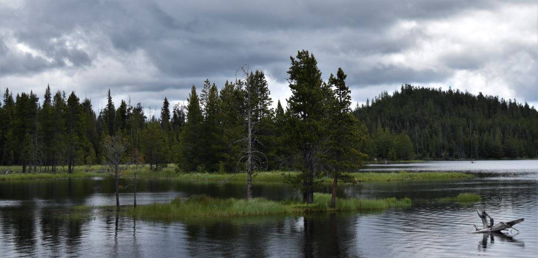
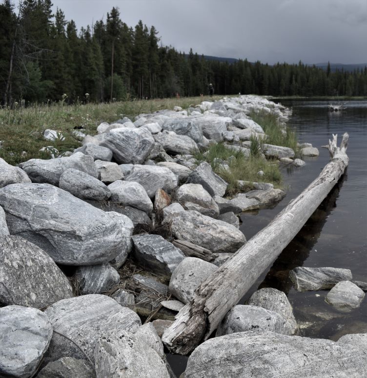
It started out with a bit of a trudge up the logging road…..then turned to strike out across the dam. What a lovely spot if you wanted a quiet evening picnic…..

The wildflowers were spectacular…..

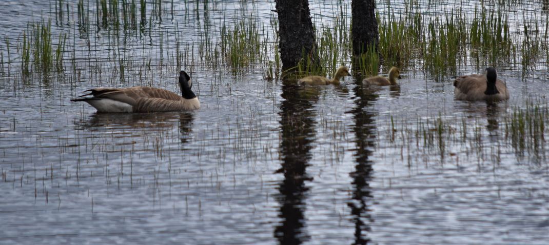
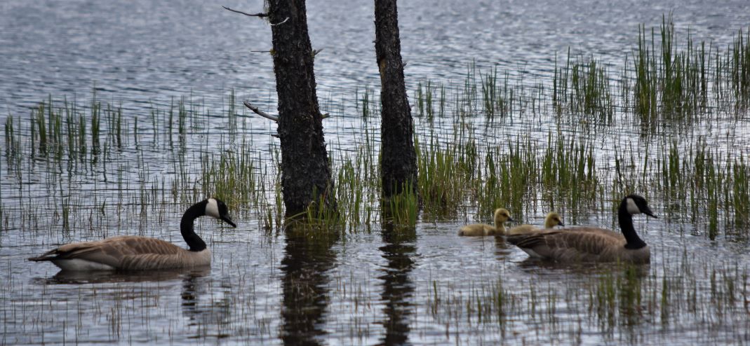
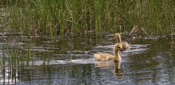
..then a goose family swam out to give us a little show of their fluffy offspring.

We turned down the path past the dam following the Alltrails route. At the point where we should have been able to ford the creek, we quickly realised that the spring run-off from the dam had raised the water level too high for us to cross.

After a bit of searching further down…it was quite clear that the normal fording spots were too far underwater…so we had to turn around and head back. A bit of a disappointment……but we were looking for an easy day…so it worked out perfectly.

Extra pix

Another atmospheric day in rainy Revelstoke.

It rained a lot in Revelstoke, not sure if it just so happened that we were there on a rainy week……or if it’s typical for this part of the province…….but it rained…a lot…!!

When we first arrived and drove up to the gate at the base of Mount Revelstoke National Park, the road to the top was not yet open due to snowpack on the top section of the road. The low level walks are fairly short (1 to 3 km) and with no real ‘views’ due to the dense forest. So having already visited the Rail Museum…the next day we headed back up the Rogers Pass to the Discovery Centre (there is no visitor centre at Mount Revelstoke NP…so I had to go back to get my pins for my National Park pin collection..!!)

In an effort to manage at least a little bit of activity, I downloaded some of the short walks along the Trans Canada.

The first one was the Skunk cabbage walk…..

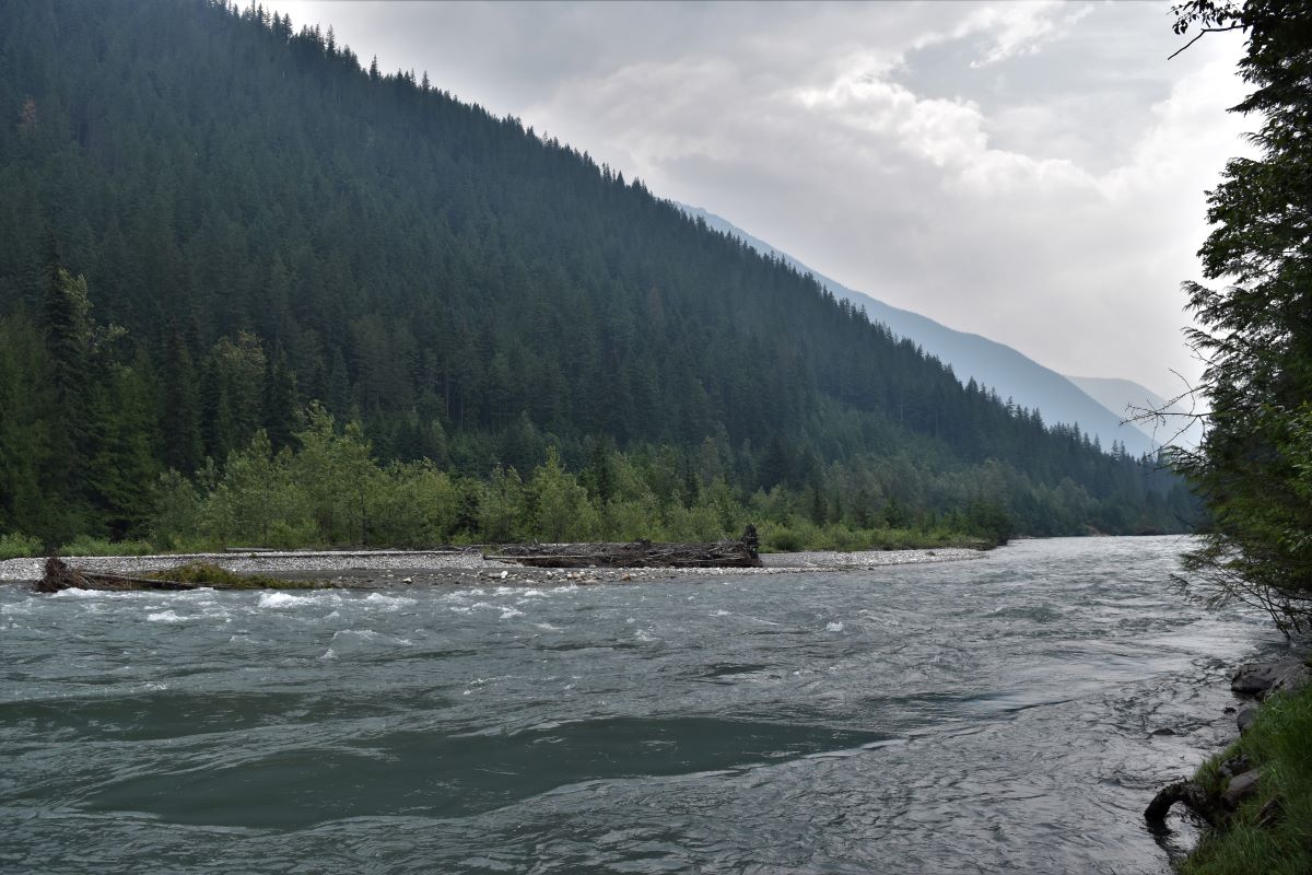
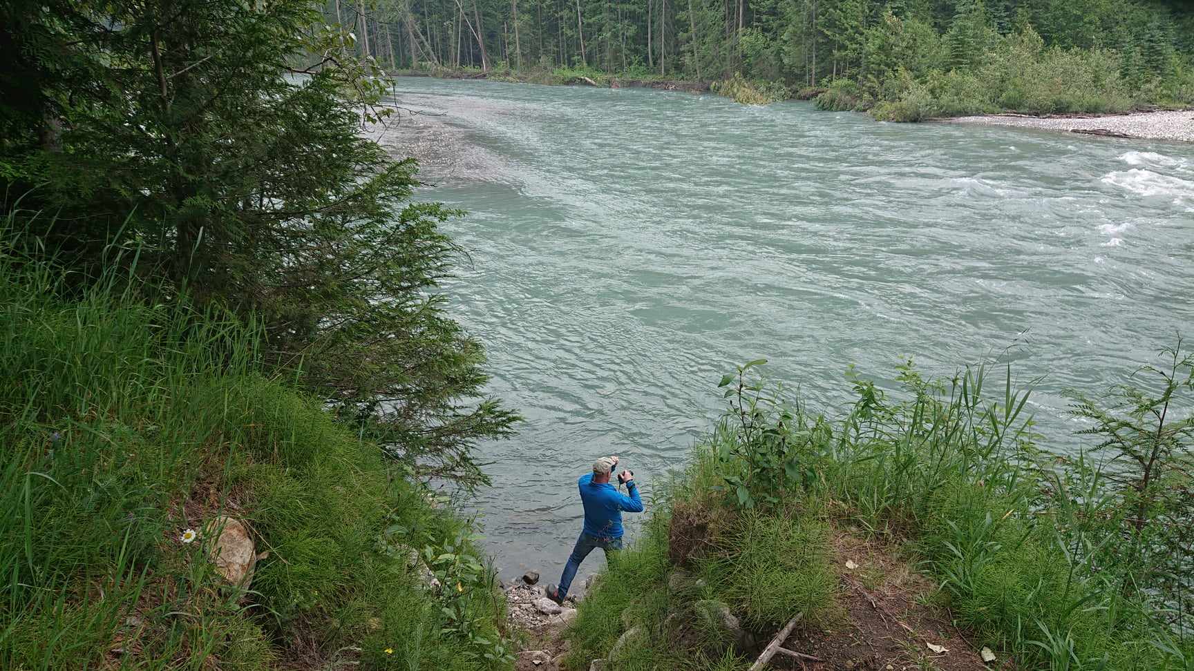
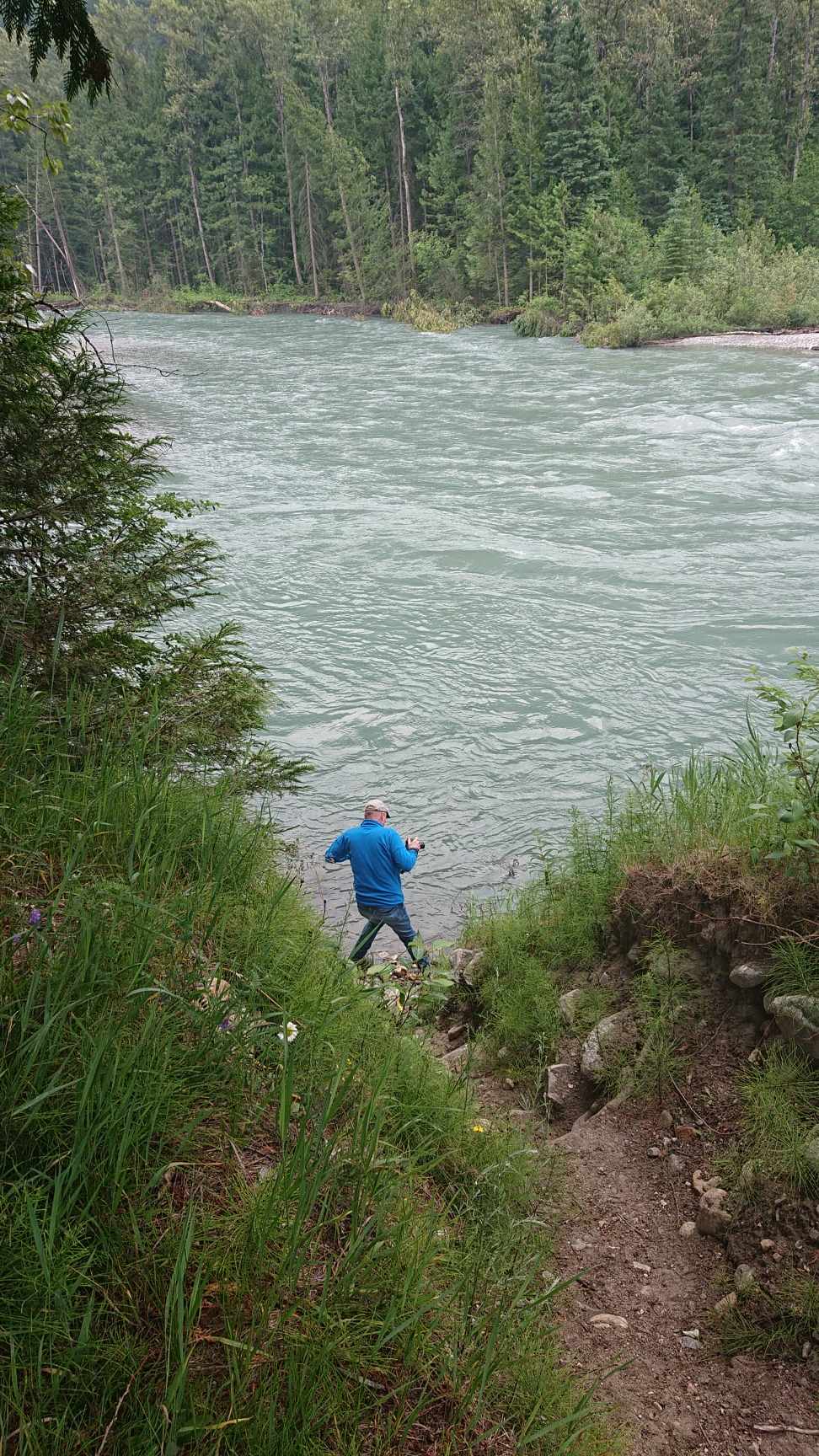
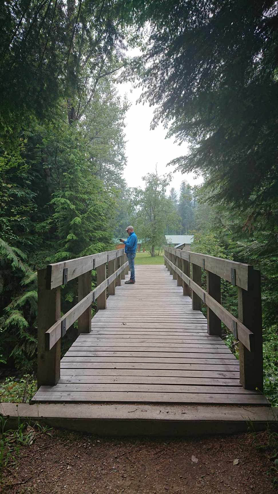
There is a paved road down to a small park area literally a right turn off the eastbound Trans-Canada. The road leads down to the river, where my intrepid blogtographer HAD to climb down the bank to take some pictures…..

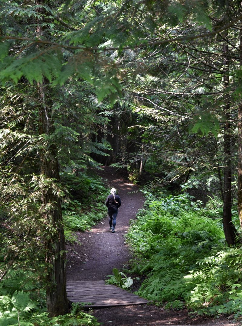
The path leads off through some pretty big old growth cedars in true BC style.

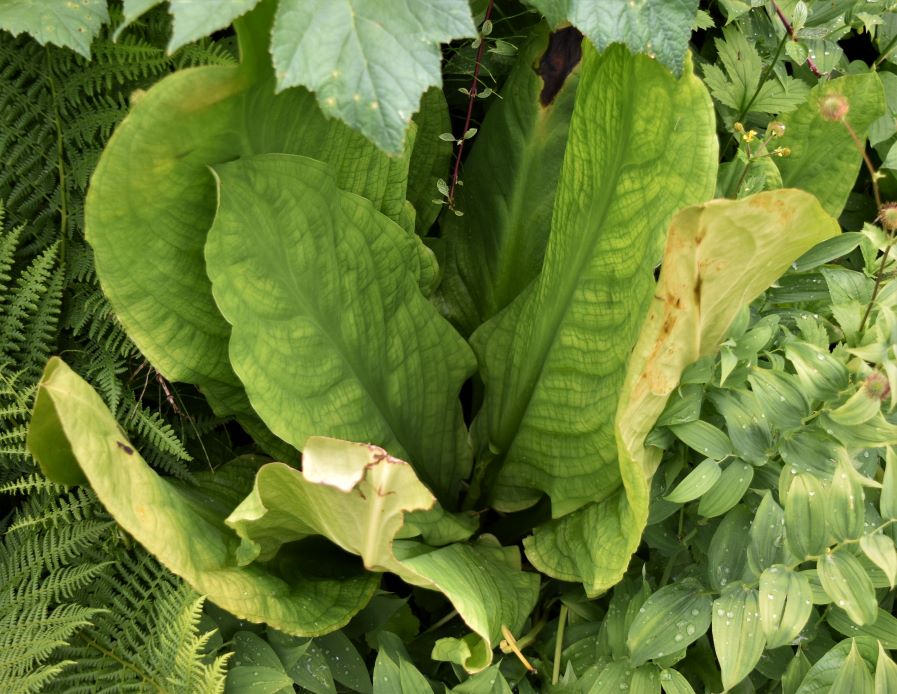
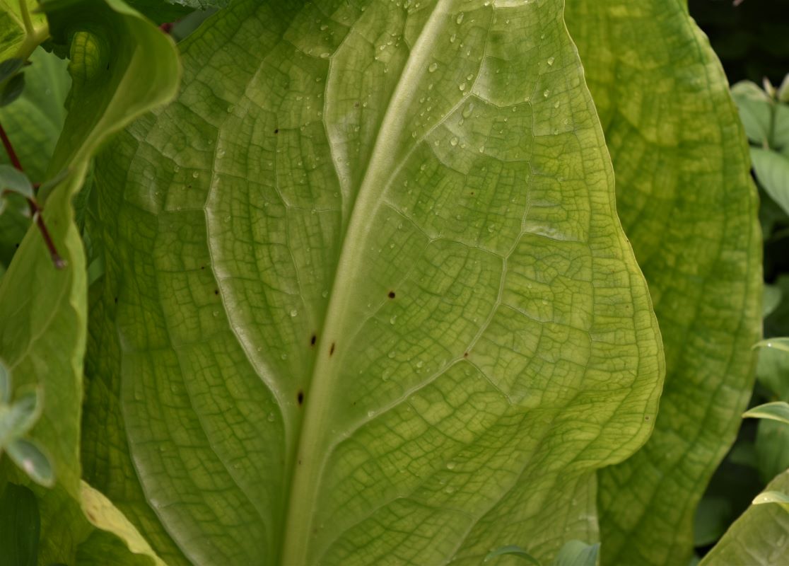
….and then to the boardwalk leading to the habitat of the Skunk cabages…(not entirely sure why they are called that because they did not particularly smell…..but maybe that is a seasonal thing..!!)

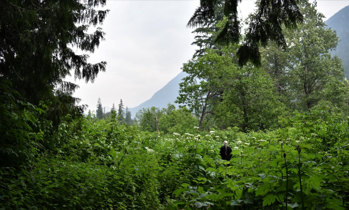
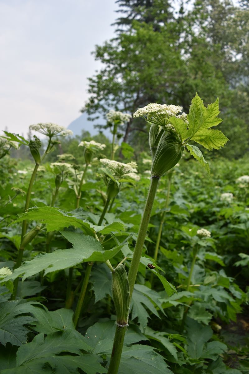
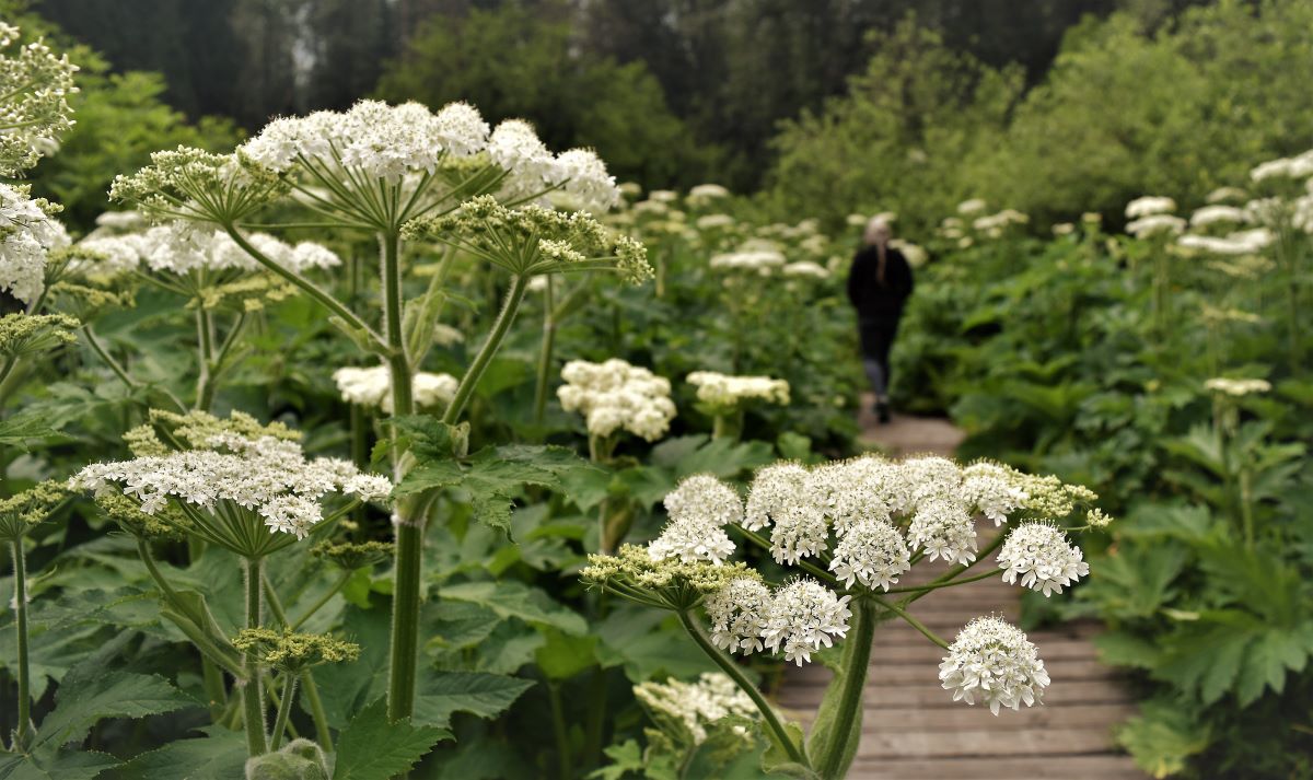
There was more giant hogweed than anything else along most of the boardwalk…LOL…

…and then we found some…

Unfortunately the second loop of the boardwalk was closed and under restoration…….maybe that’s where most of the cabbages were…..

Rock Garden Trail.

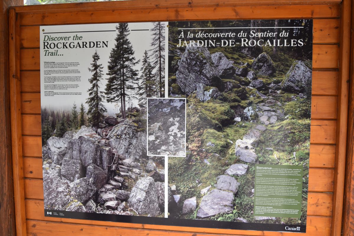
The second trail was the Rock Garden. I downloaded the trail for this one mainly because it was one of the few that were actually open. Between COVID and two successive harsh winters with a lot of avalanche activity in the pass…..there has been a lot of damage to the regular boardwalk trails in Glacier Park. The rock garden was a little hidden gem.

Although not a long path, it is quite an extraordinary little ecosystem around an old rock slide.

It’s like a fairy garden that someone very clever might have landscaped…..except that it was designed and built by the ultimate landscape gardener…….

…it’s a natural place…and well worth the stop if you are ever travelling this highway.

….and we found this little bright and colourful little chap on the way back down…..

Coming back into town…we thought a drive back to the Mount Revelstoke park gate might be in order……and were delighted to find that the road had been opened, it’s a winding drive to within a km of the summit so we drove up to check it out…….. and walked the final part of the summit trail to the top since we were there anyway.

Mount Revelstoke Summit Trail

The road up to the summit of Mount Revelstoke is paved, 24km of switchbacks weaving up to the top (6,375ft above sea level). It’s densely forested with a handful of lookout spots on the way up. …and then from the parking area it’s one last kilometre up to the top.

Once at the summit their are a bunch of short trails there with quite spectacular views…..

One to the north….

…one more to the south….

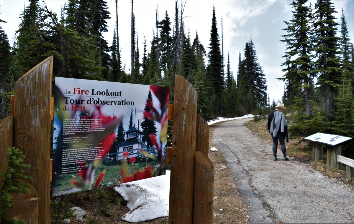
…and a little climb up through the last of the snow ( this was on June 15th..!!) to the Fire lookout…..

…..with my faithful blogtographer waiting for me to fall over in the snow…!!!

It was another easy little walk…but very pretty with the wildflowers busting out all over the place to make the most of their short season…..

We hatched the plan to do the Eva Lake Trail from the summit over to the next peak as the weather was looking good for such a trip….

Next day..dressed and booted ready for the hike…they closed the top road again…( aaaaaaaaaaargh…!!) …….this time the fire guys were in cutting some of the dangerous trees…..talk about all dressed up and nowhere to go…..

Extra pix.

All aboard….Next stop Revelstoke……

Only a three hour drive from Fairmont Hot Springs, up the Colombia Valley and over a few mountains we reached Revelstoke This location offers access to two national parks…..Mount Revelstoke National Park and Glacier ( the Canadian one ) National Park.

Revelstoke is on the other side of the ( historic) Rogers pass ( nothing to do with Rogers cable btw) The whole saga of the Canadian railroads and the monumental task of finding the route through the mountains for both the railway and the roadway is quite the tale….and a far more interesting portion of the history, discovery and development of Western Canada than I might ever have imagined…….and the not so distant past at that…..

Having settled ourselves in to Revelstoke RV campground…….

We took ourselves up to the gate at Mount Revelstoke National park….only to find to our dismay…even tho’ it was almost the middle of June…the snow pack on the road to the summit still had the top half of the road closed.

….and then the next day the rain started………so…intrepid explorers that we are…we spent part of the day at the Rail museum……seemed like the place to go in a railway town.

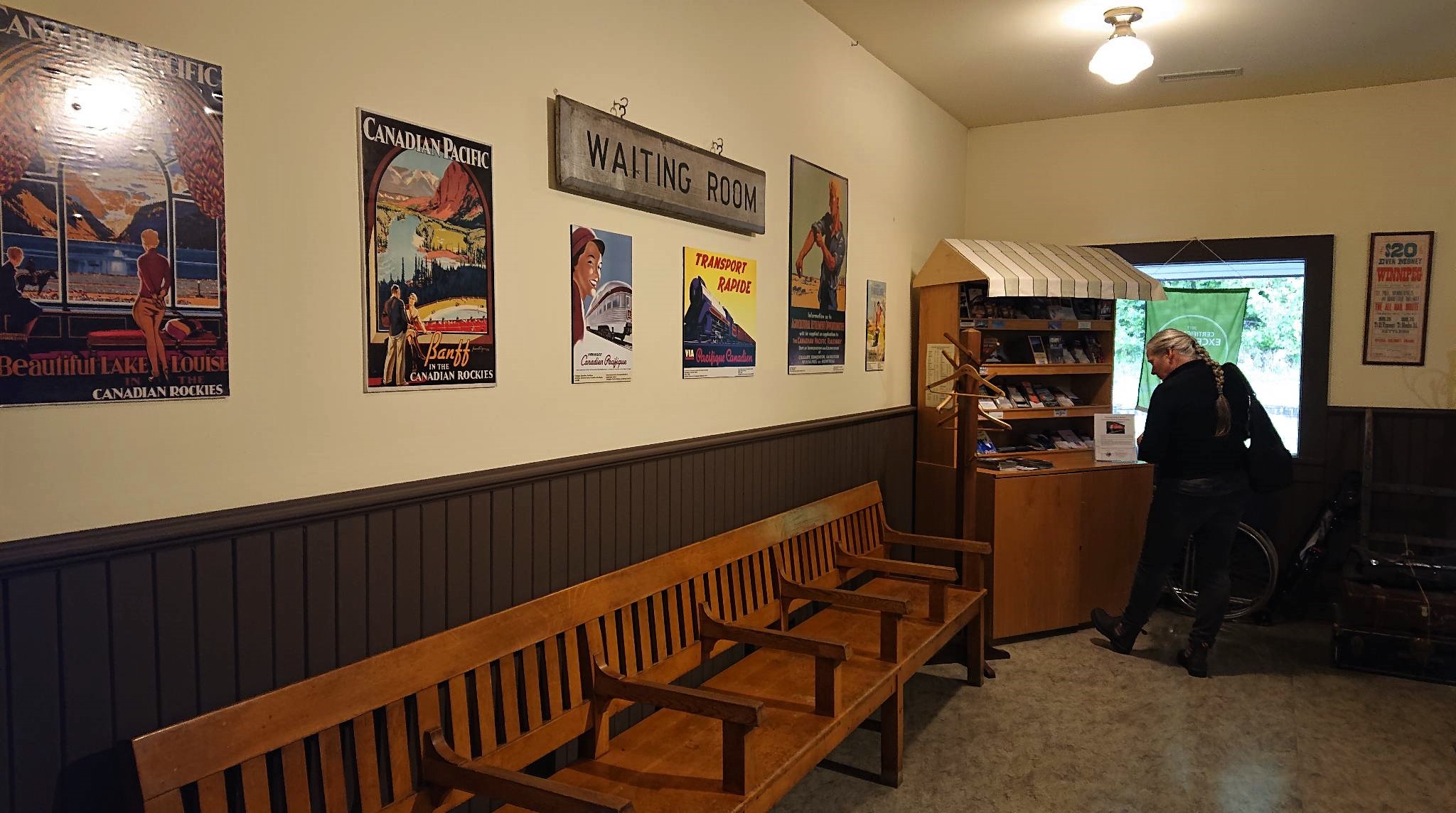
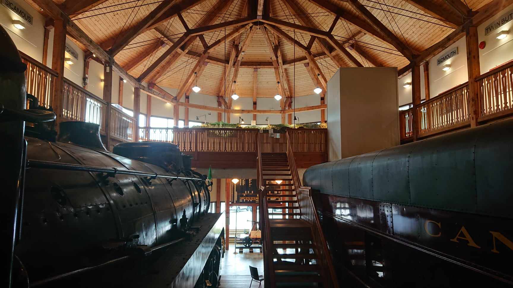
The Museum is a lovely building with bits of the old station incorporated into a new structure.

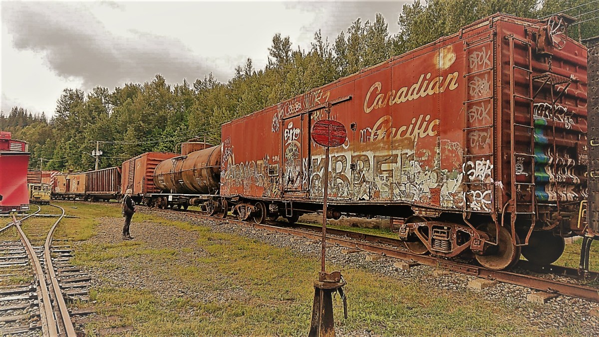
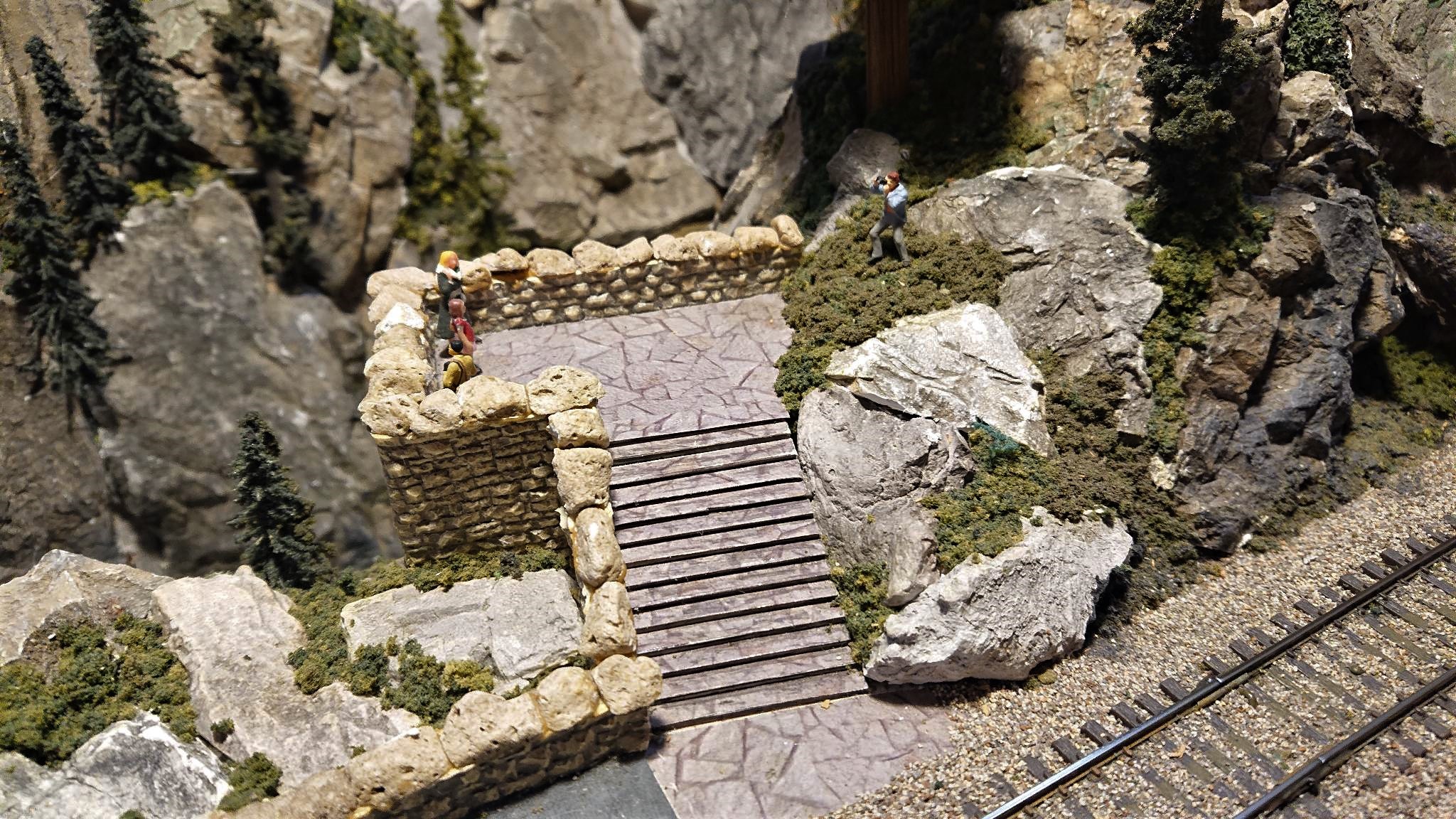
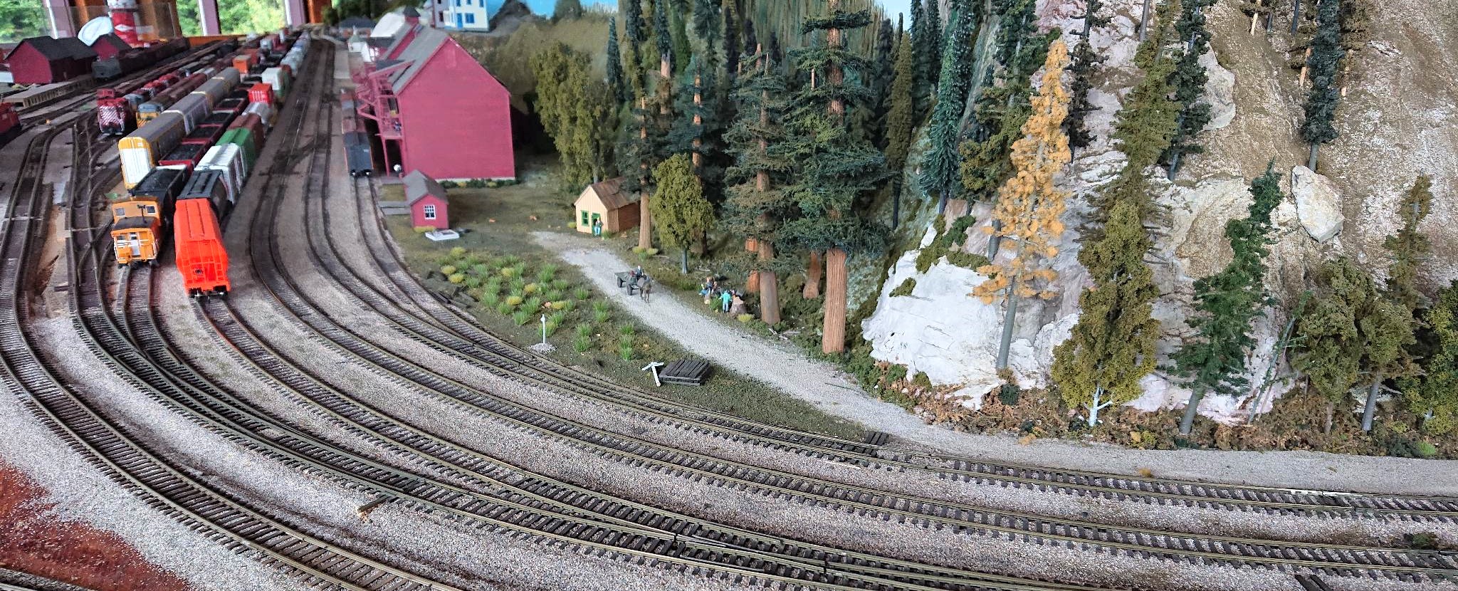
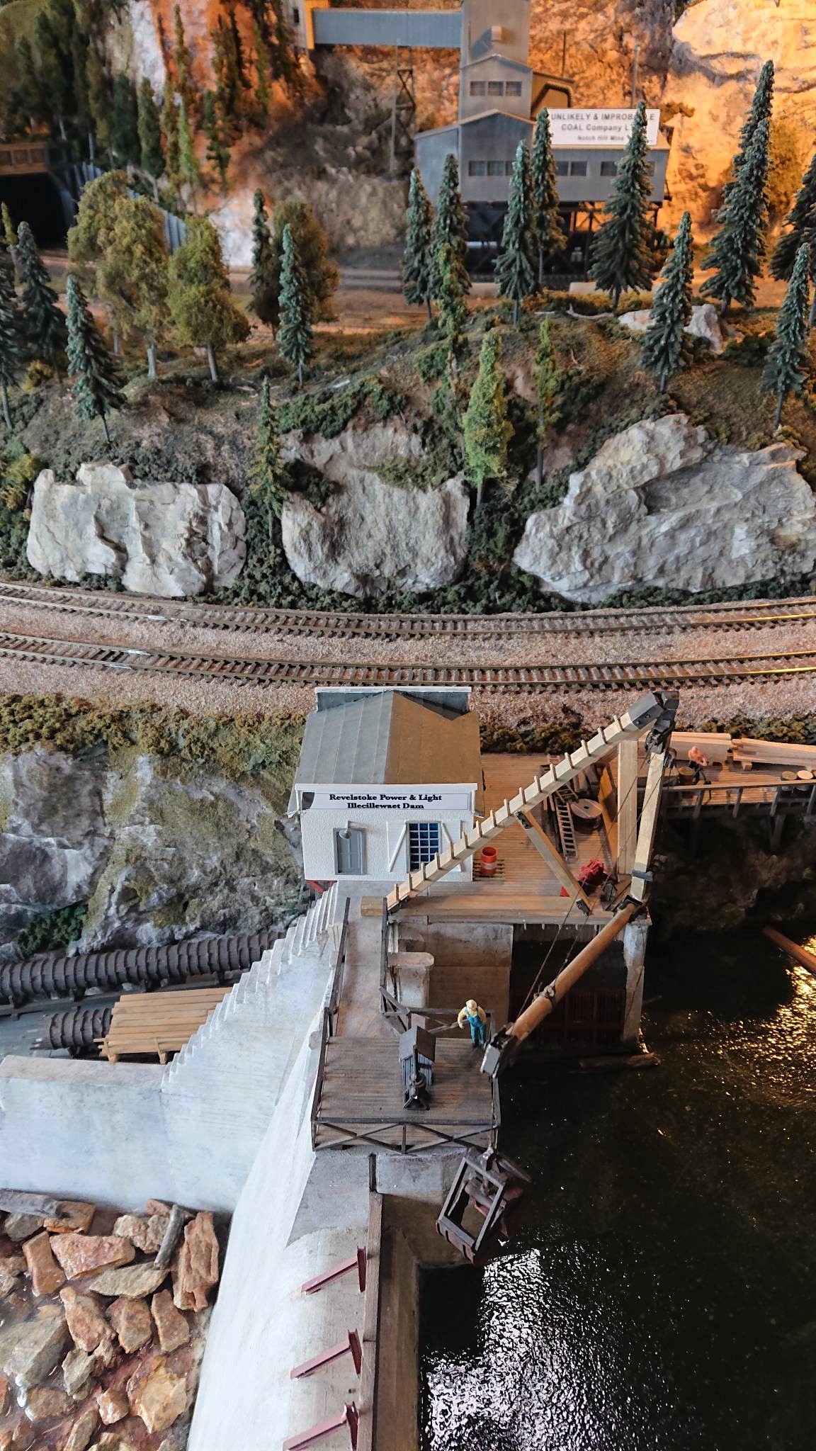
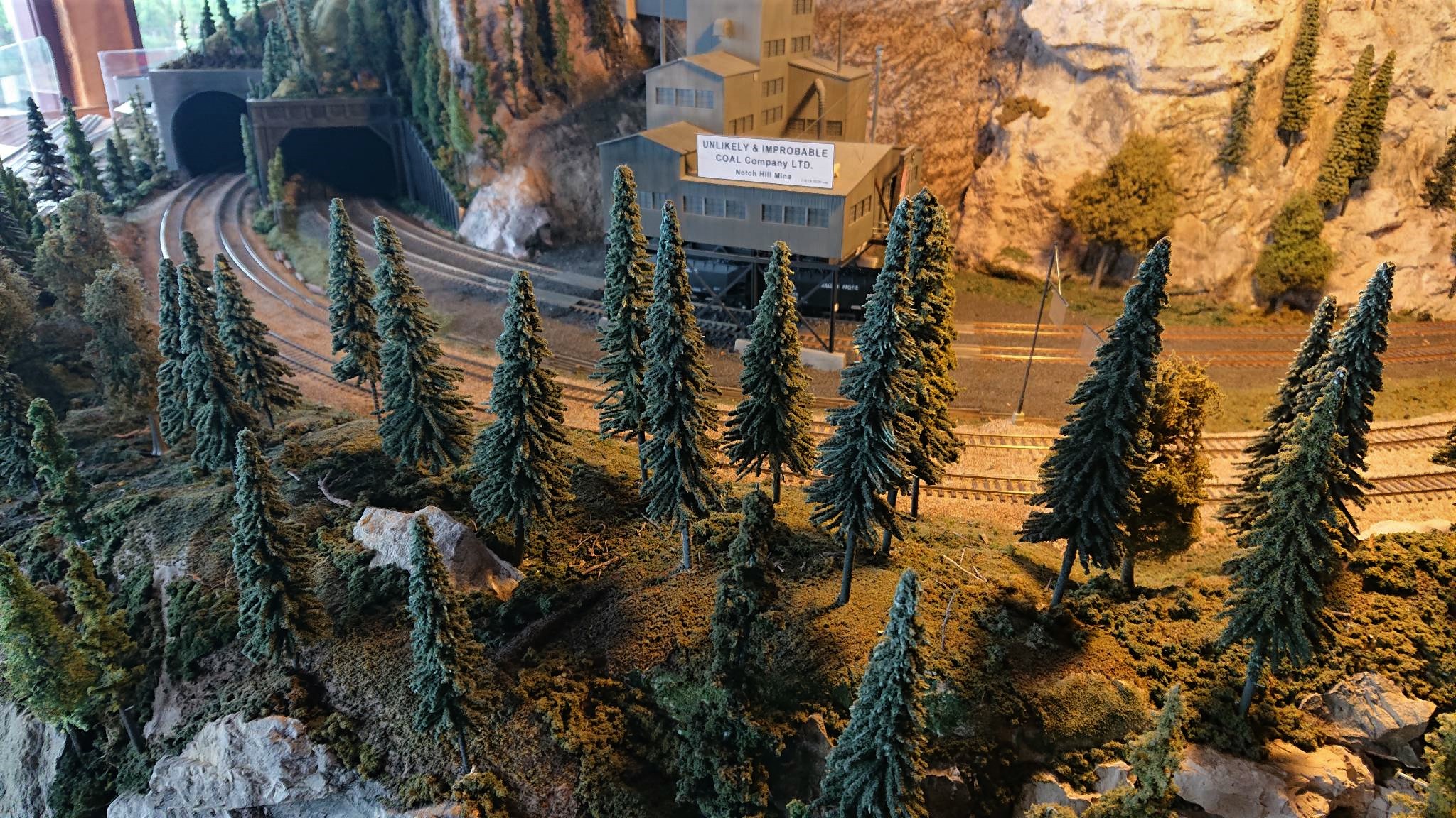
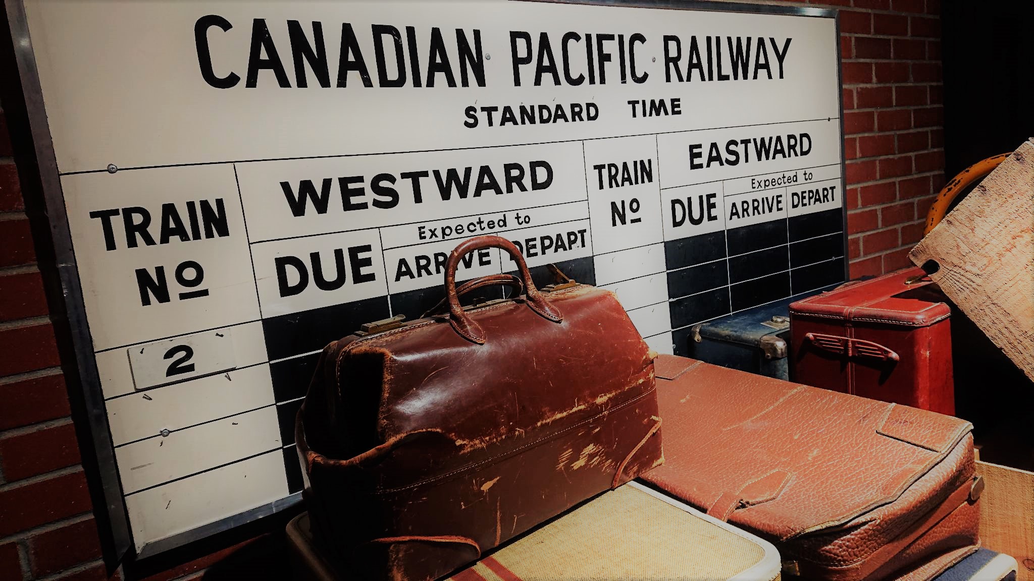
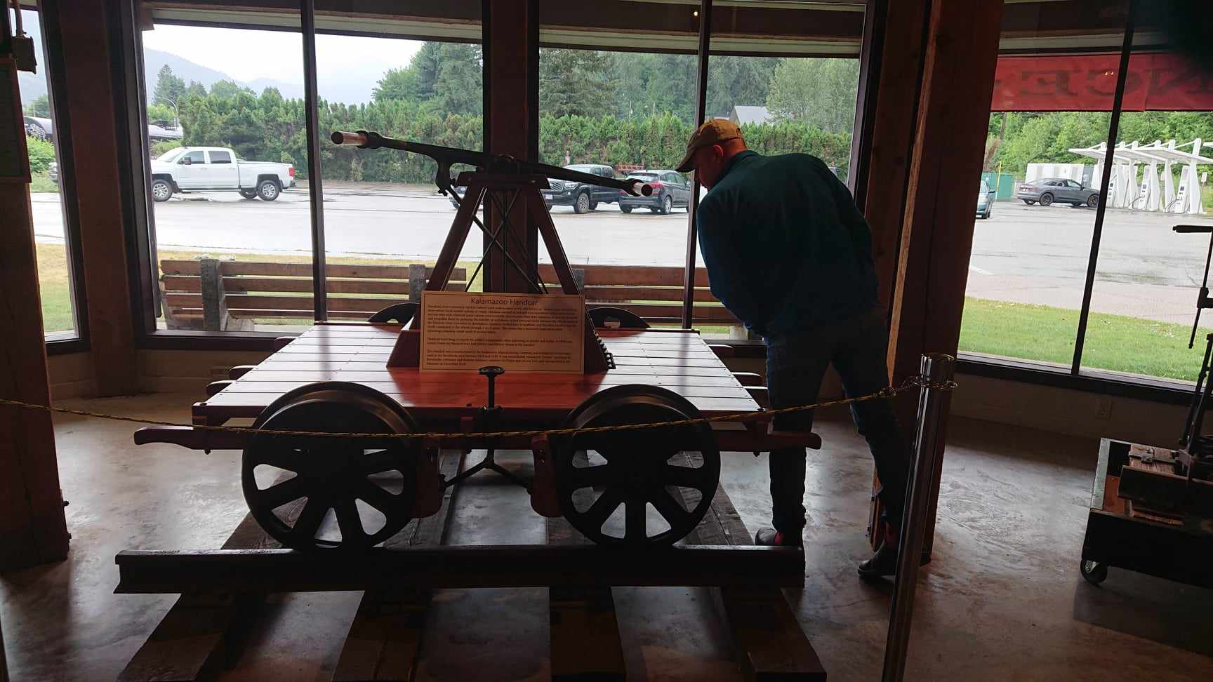
It’s a fascinating little spot…and we followed the history of just how crucial Revelstoke was to the railroad and thus the development of the western side of the country. The railroad made it possible to cross the mountains and to move freight and supplies that changed the west. Difficult to imagine the scale of the operation….or even the scale of the vision to build roadways across and through this terrain. Wintertime presents another range of issues with snow and dangerous avalanches necessitating the development of protective snowsheds for the rail line and road. There is a HUGE set up of a model train layout of the Revelstoke yard and some of the surrounding landscape….

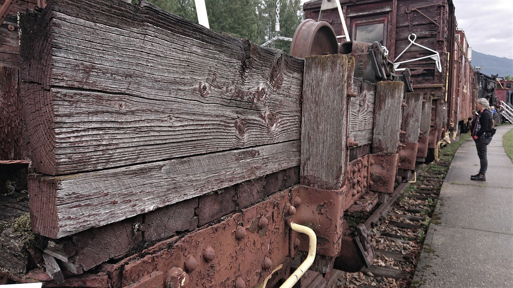
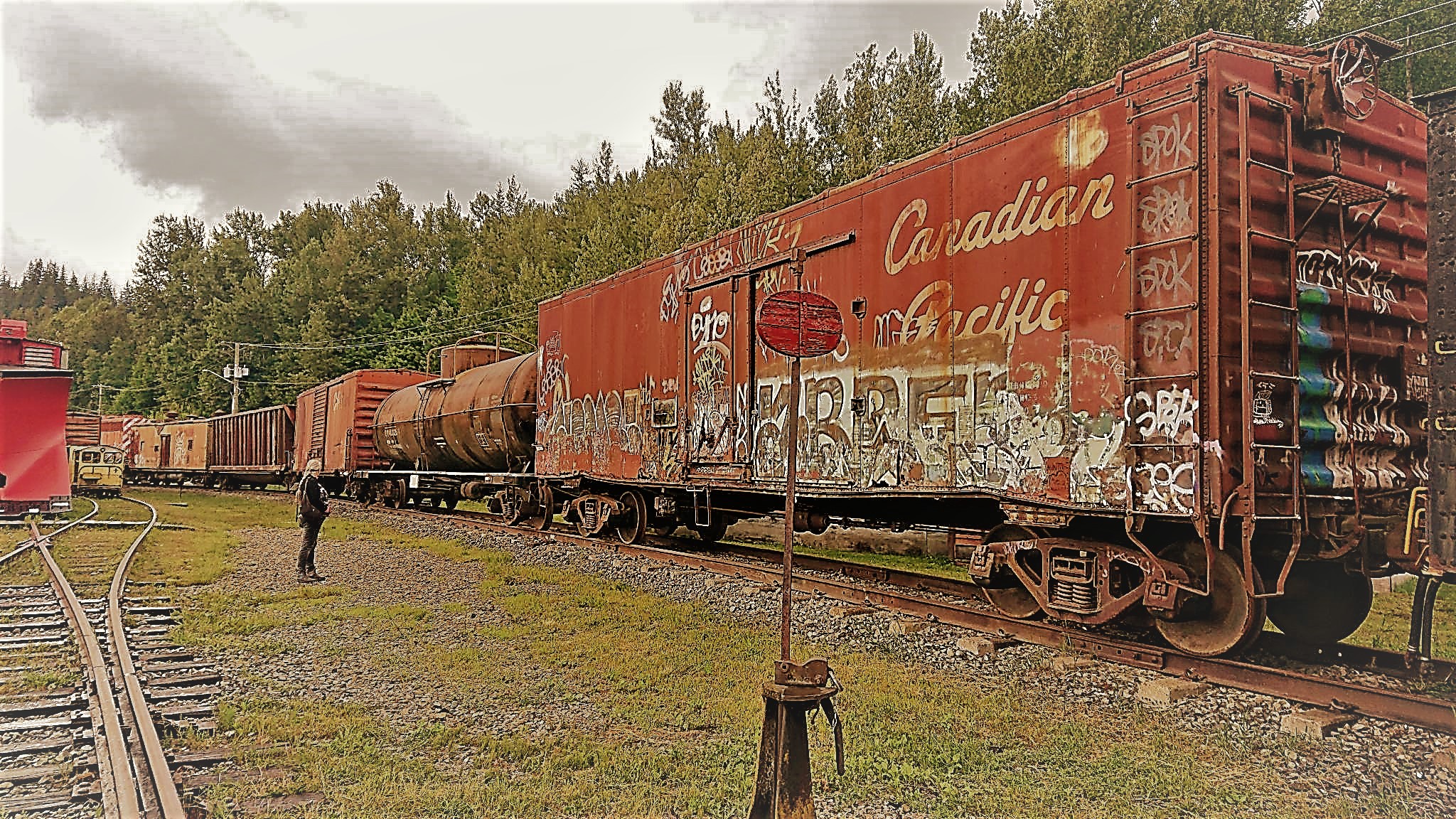
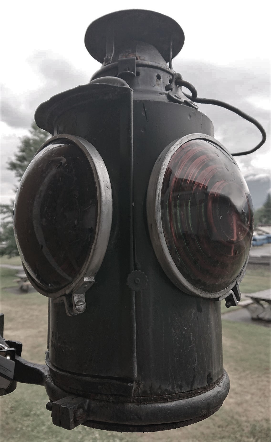
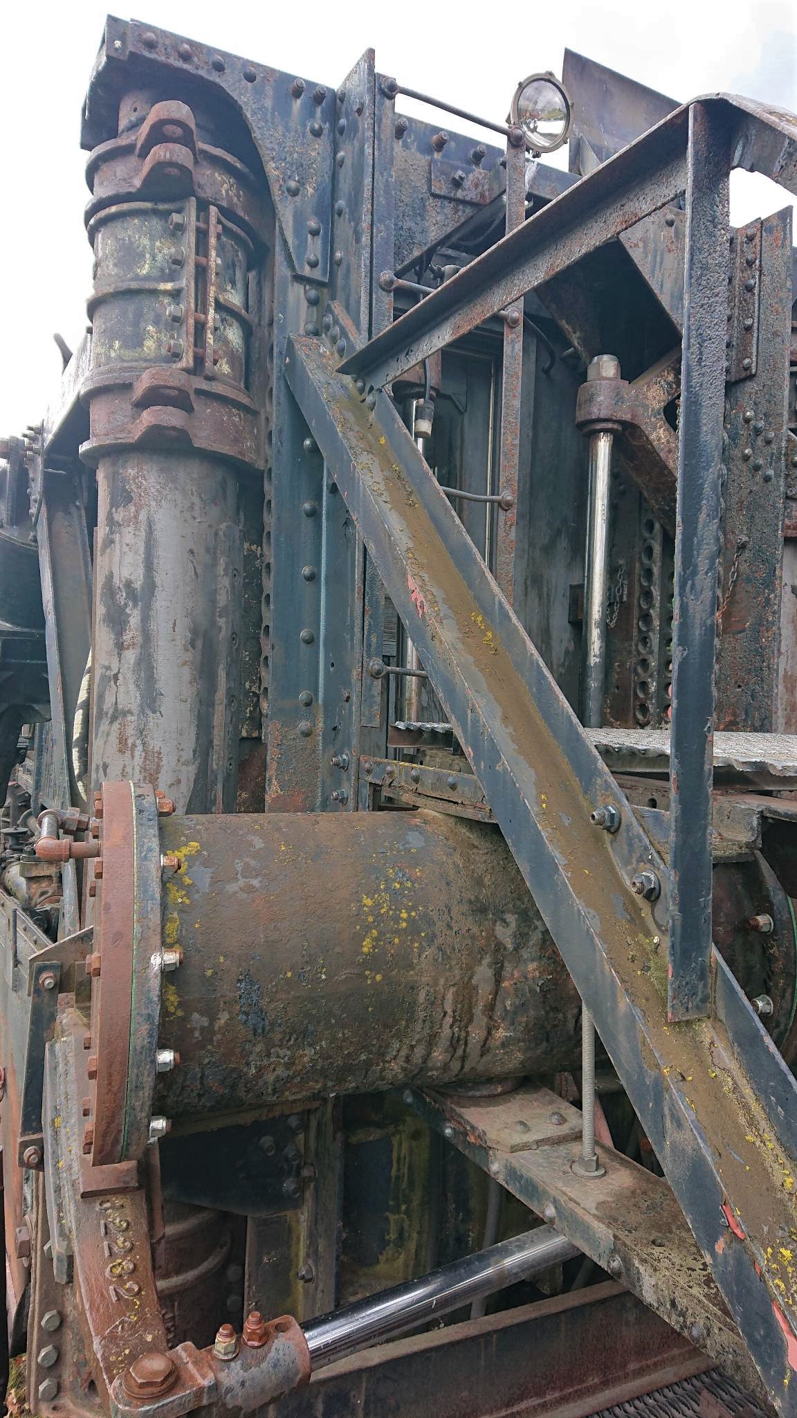
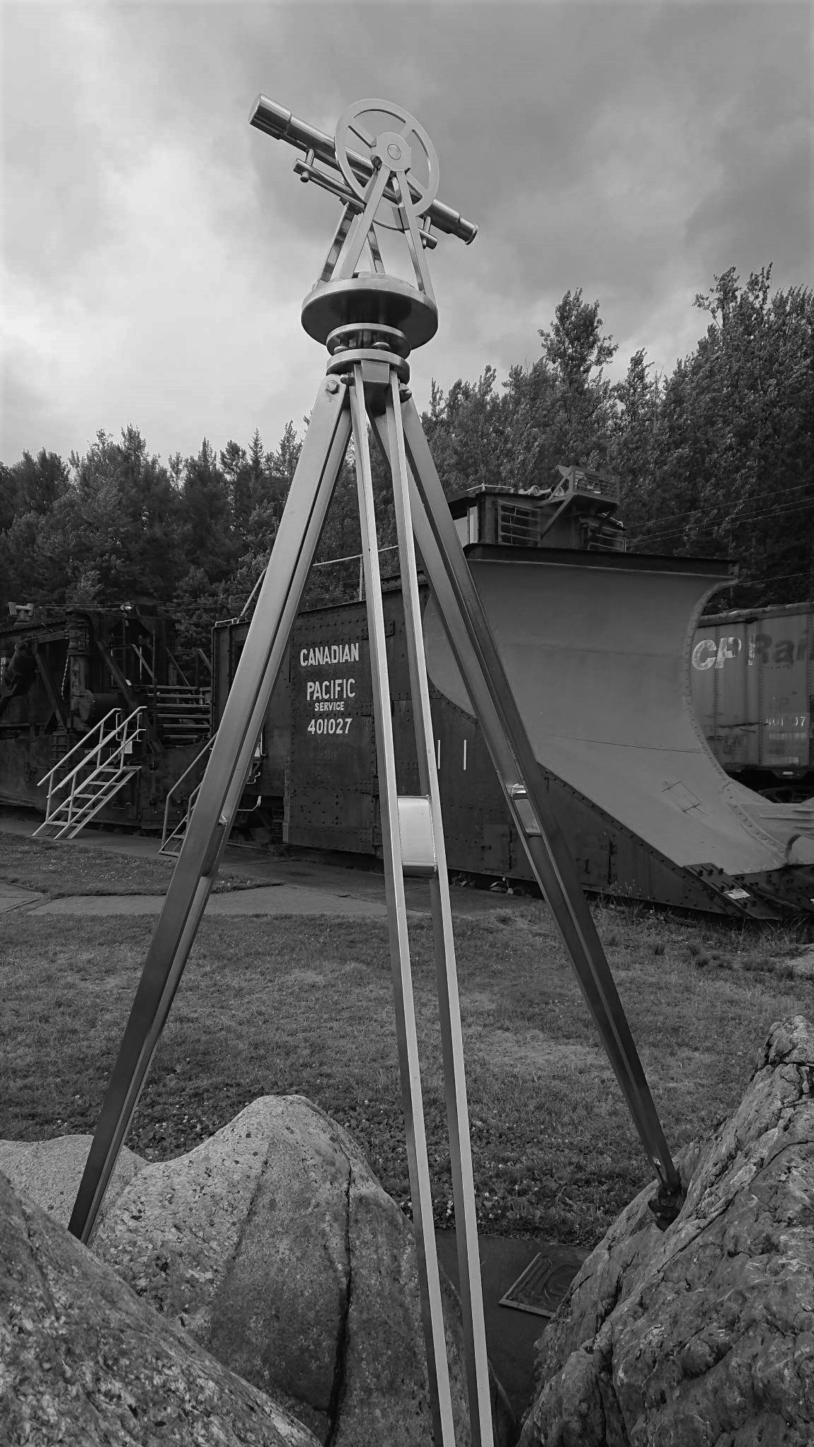
The outdoor part of the museum is a cutting off the main switching yard….with the constant movement of huge trains all around (lots of loud metallic groaning and screeching..!!)

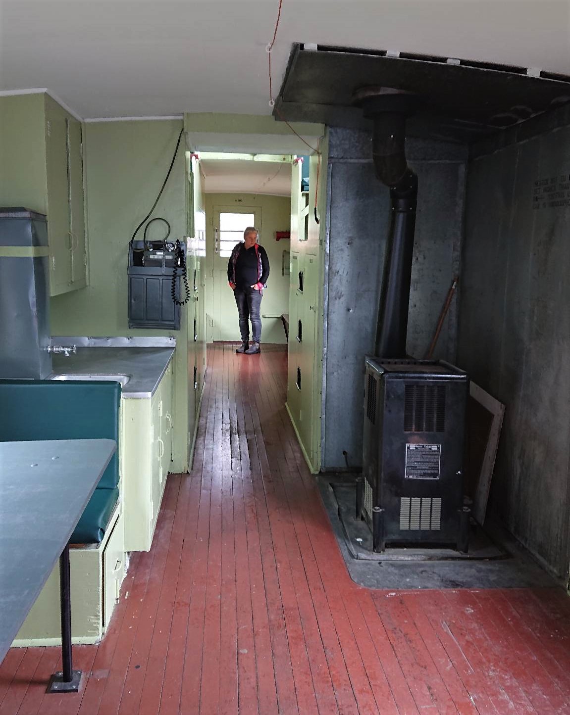
You can climb into the caboose…… its sparse utility tells a whole story about how spartan life was for the guys building these rail lines….

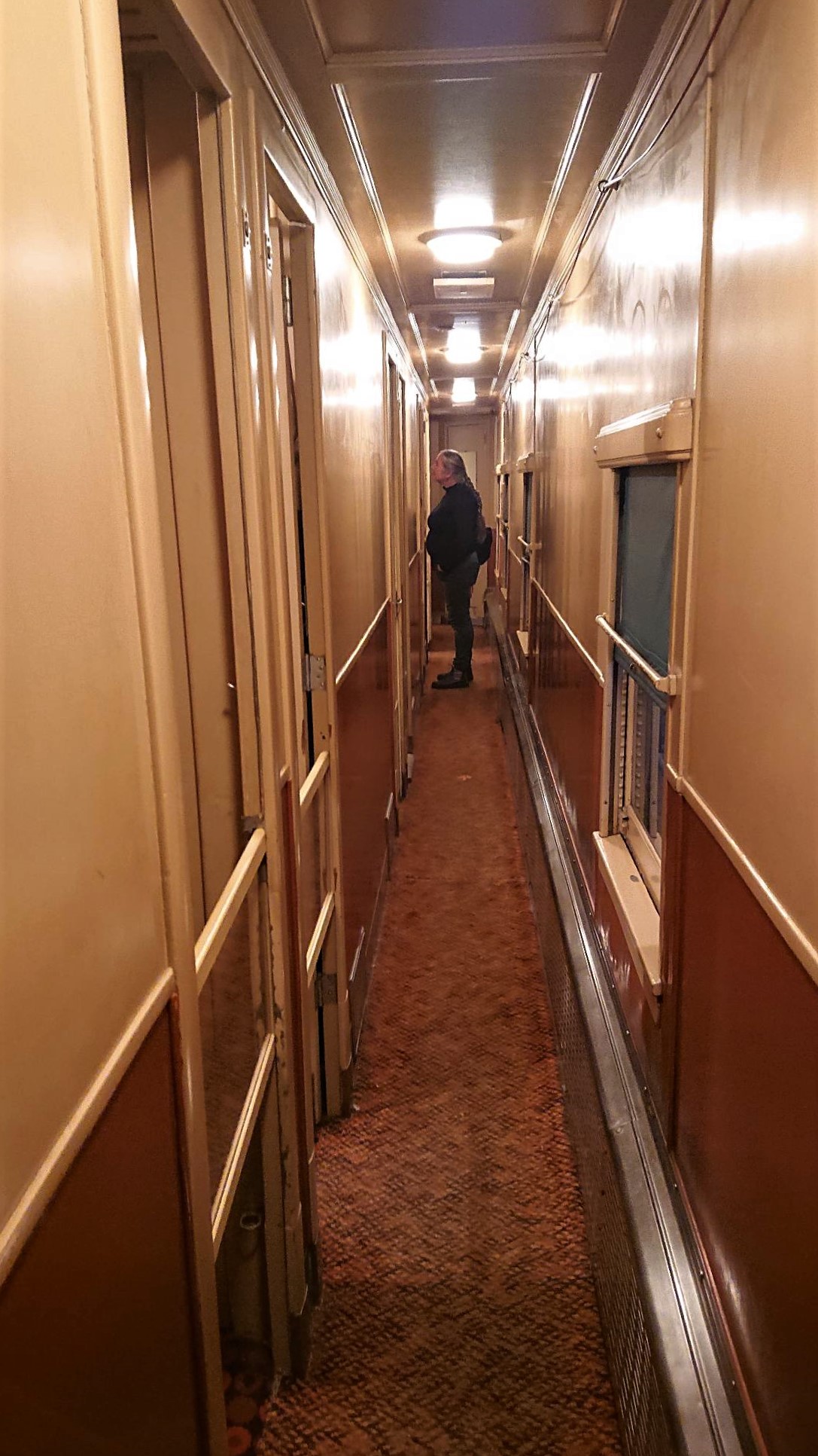
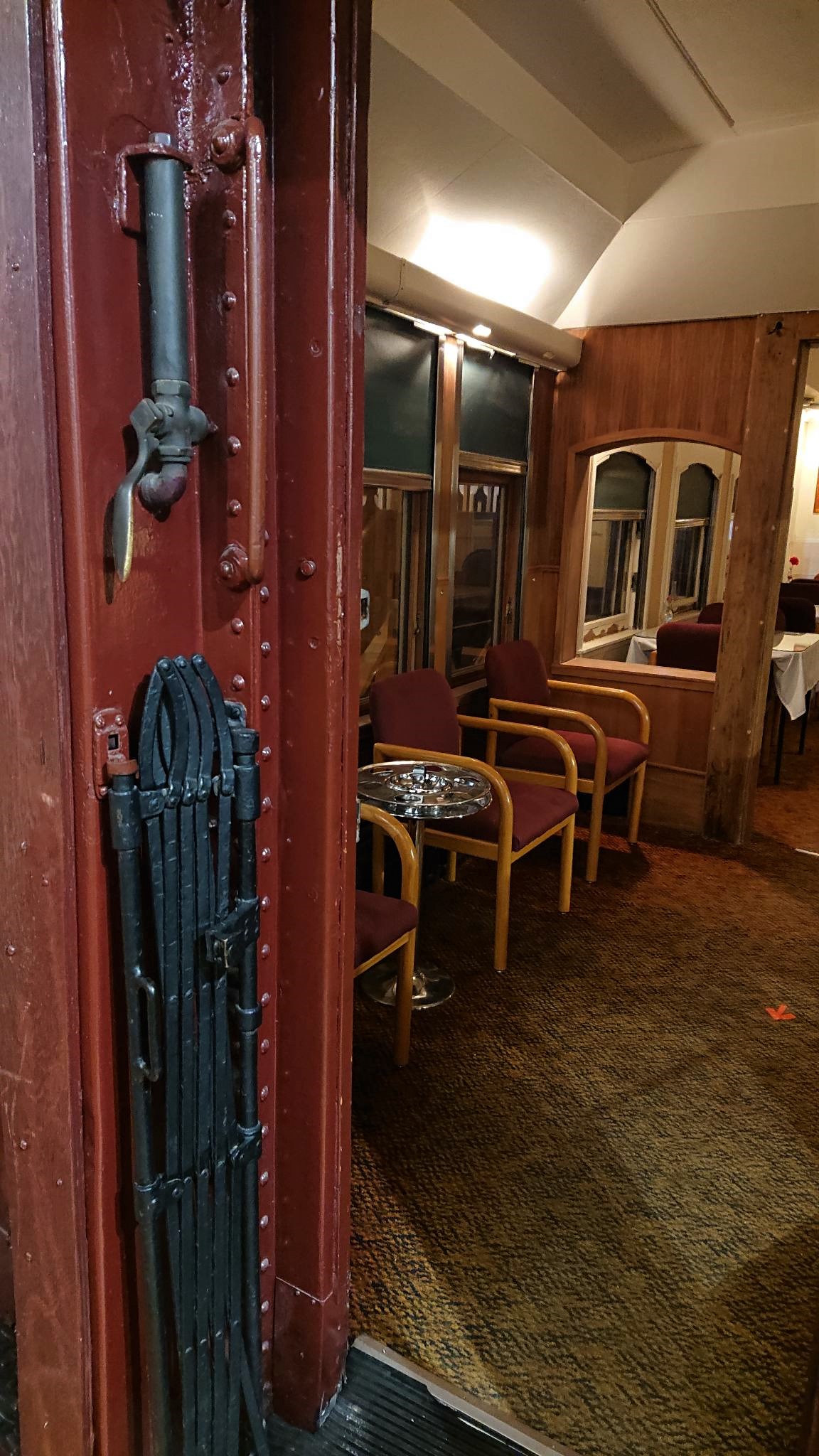
…and the inside part of the museum also has some full sized trains…..one of them purports to be the luxury tourist train that used to do the trek through the mountains……..again…utility seems more like the name of this game…!!..and I’m pretty sure British rail still uses that carpet LOL….

All in….a fascinating rainy-day activity…….

Extra pix.

Ptarmigan Lake Trail …… Colombia Valley, BC

( please note that all of the pictures are clickable if you wish a clearer view. I have also added links in places for more information/explanation…..click the blue click..!!)

So now……. having had our exploratory, moderate hike up the Marion benchland (click), and our easy day with the short walks (click)…..the next trail in our sights was the Ptarmigan Lake Trail in White Swan Lake Provincial Park (click). It promised some good views and a moderately challenging 13 km out and back hike, in addition to being a quiet….not overly populated hike….

The trailhead was well inside White Swan Provincial Park…well past the entrance for Lussier Hot Springs…which is a public and popular natural hot spring spot. We had considered trying for a dip/wallow there…..depending on how busy it was as we passed. …just before 9 am there were very few cars there……so it seemed like a good possibility for a stop in on our return trip. Another 28 km up some ‘interesting’ logging roads, wending our way further up into the park…to the trailhead.

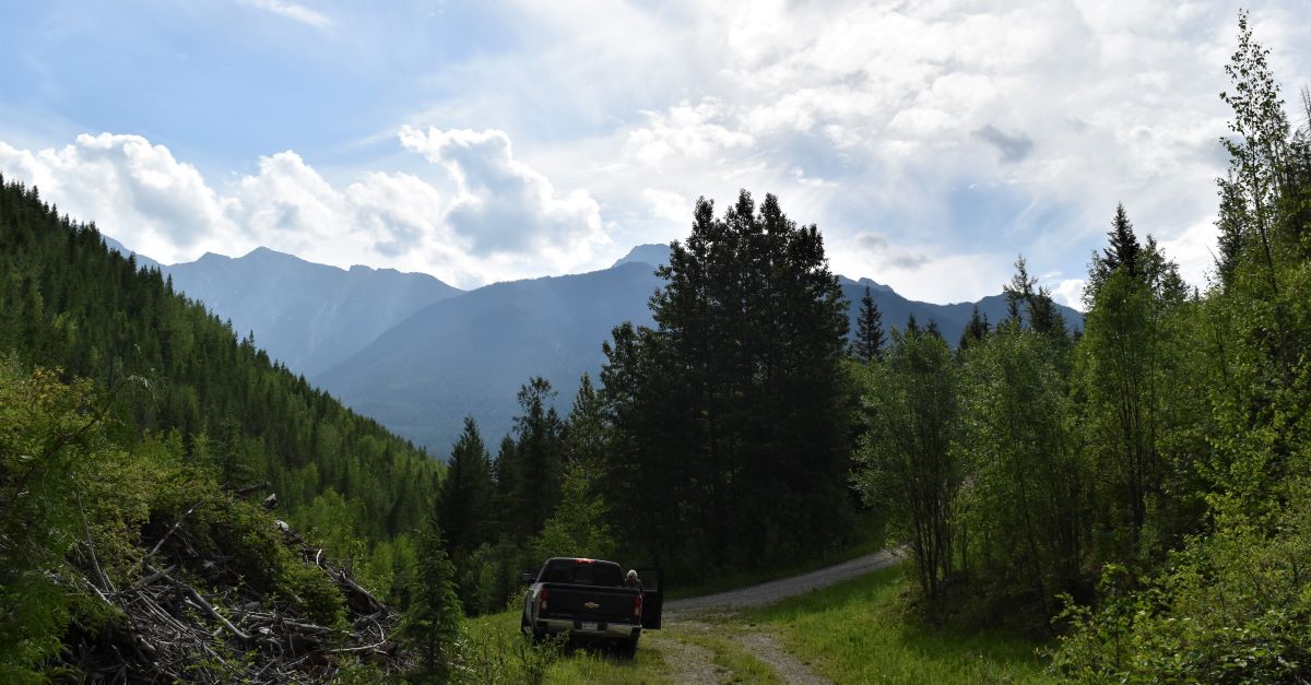
The road up to the trailhead…..30km of it inside the park was progressively narrower and rougher, with our surroundings developing an effortless ‘remoteness ‘ around us.

We had to stop a couple of times on the way in just to drink it in.

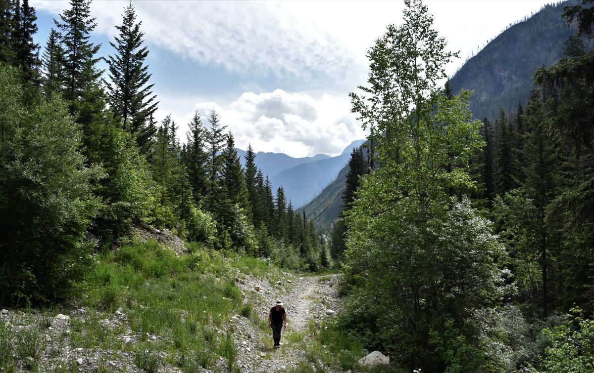
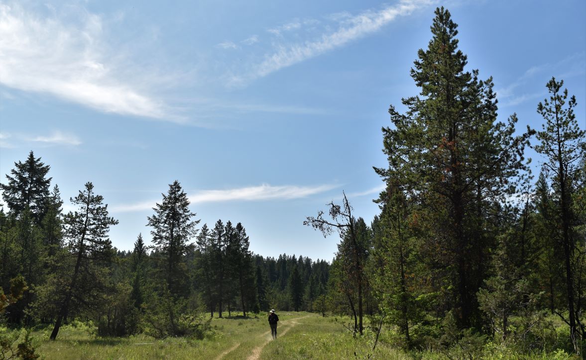
The trail itself was well marked right from the getgo…..the incline did not wait around to get started..!!. It was an old logging road that had been blocked off presumably to discourage atv enthusiasts from using it.

Part way up there were the remnants of some previous clear cut logging.

Looking at the surrounding forest and appreciating the craziness of the wildfire activity in Alberta and BC at the moment, gives you an interestingly different perspective on just how important the logging industry is to maintaining the safety of the forests……without creating these breaks in this incredibly dense coniferous forest…..if it starts to burn…its just going to keep on keeping on…..

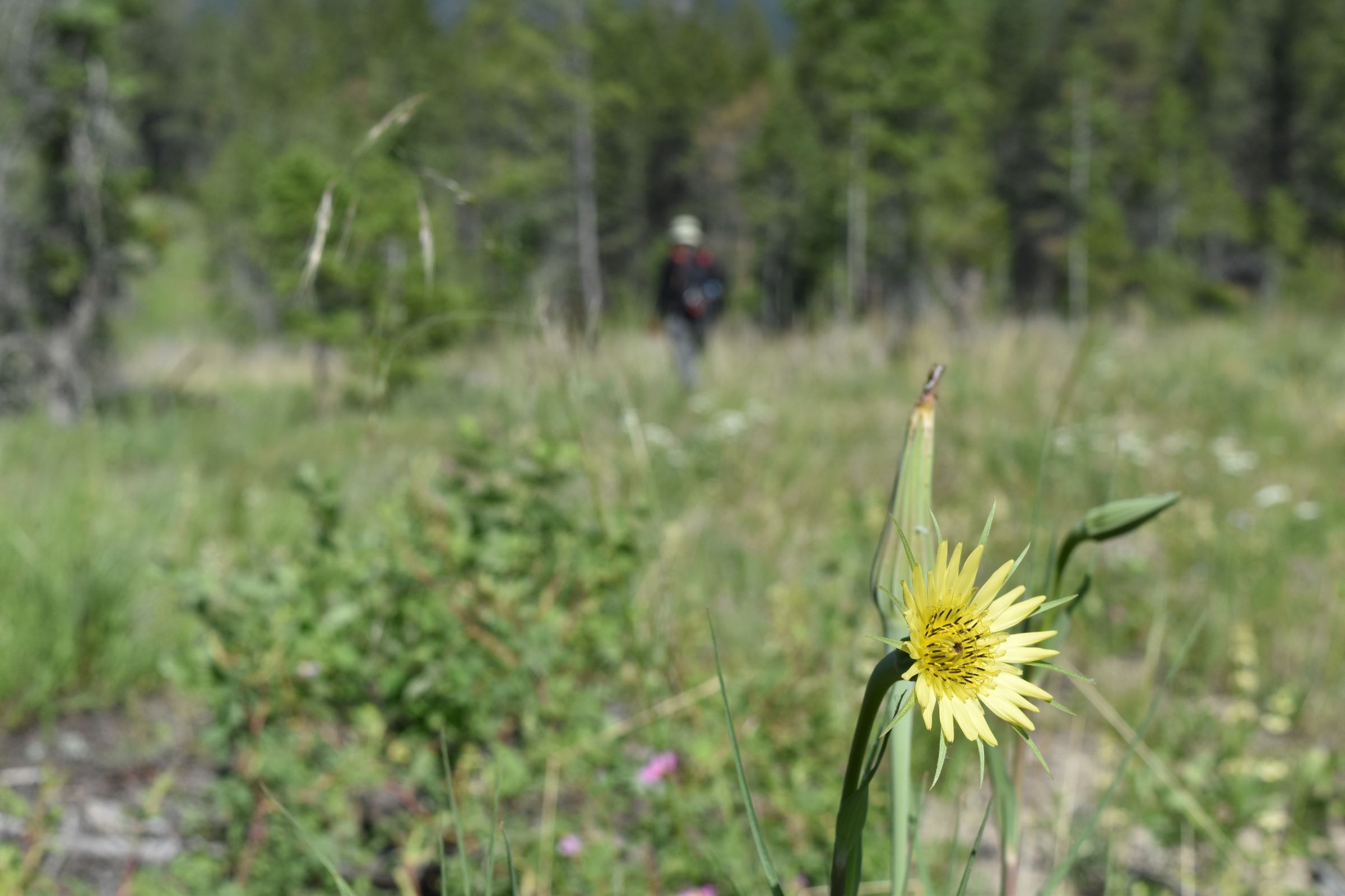
One of the most startling things as we walked was the incredible numbers of bees. All different kinds, flying around us, crawling on the ground, landing and harvesting from the plentiful wildflowers around us.

There were many, many wildflowers. Some were familiar, many not so much. There were many, many butterflies, but none of them would oblige and sit still long enough to be photographed. There was also lots of bear scat..!! (yes I have my bear spray..!!)

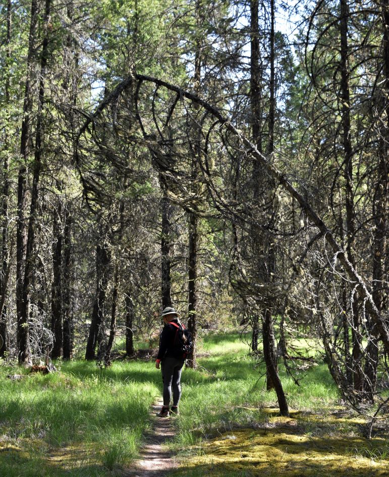
As we hit the end of the logging area, there is a section that winds up through incredibly lush dense forest.

The grade of the path also increased.

Now we were weaving back and forth on a series of short switchbacks………and then the grade increased again and we were climbing evermore steeply through the forest…..

…every time it seemed like we MUST be there……on the path went ahead of us (and more up..!!).

I added at least 45 minutes to the hike with the number of times I stopped ‘for a breather’ and to check how close we were to the top..LOL

Finally we opened out on to Ptarmigan Lake…..a really beautiful spot…….with Blue Knight Mountain ahead of us, and a bank of snow still on the other side of the lake. Shortly after we arrived a young family appeared….I think they managed it way faster than I did….!!!

We stopped for a bit for snacks and rehydration before heading back down……I know I keep saying it…but what a beautiful place.

….you could not design a prettier landscape if you tried….!!

You never really get an appreciation of how steep a climb is until you are going back down…..

…this one was hard on the knees……

Ah……the truck…….fortunately the boss had packed an extra cup of coffee in the thermos’s……It was very welcome.

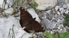
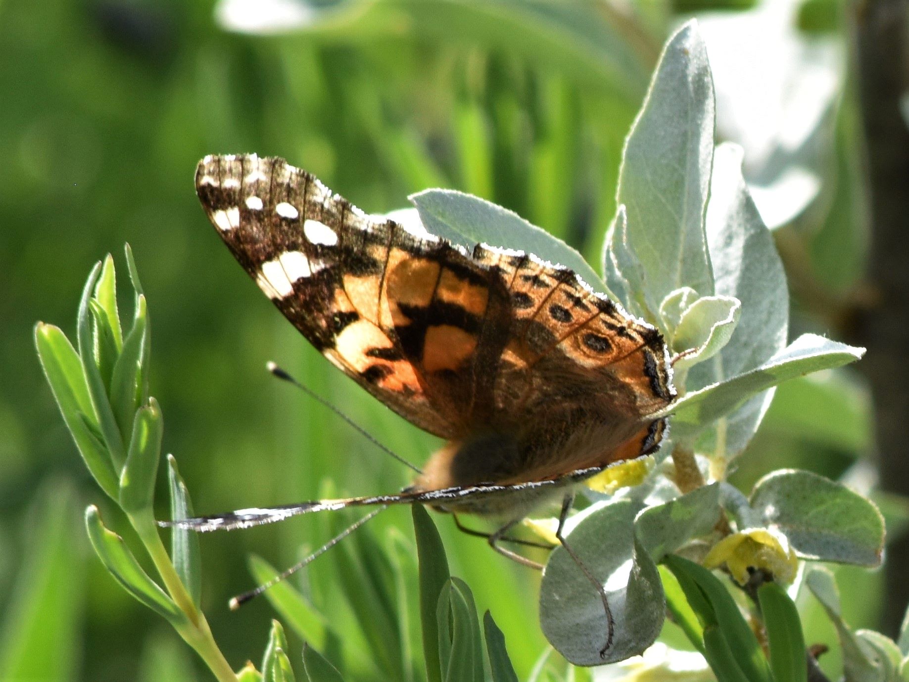
As we supped our coffee and cooled off a little …another little butterfly showed up….and actually stayed still…….and a Mourning Cloak butterfly that sat on the path for us.

The drive back down…again the number of cars at the hot springs was not off putting…but …even though I had packed towels and extra clothes…we just wanted to get back to the trailer and get supper….so Fairmont Hot Springs pool just had to do on that evening…oh the suffering…

We were tired enough the next day that Lussier was not quite tempting enough…..I am sure we will be back in this place again…..and that will be another new spot requiring a visit.

Extra Pix

Three short hikes around Lake Windermere……hoodoos and wetlands.

After a longer walk yesterday (and the first real one of our hiking season) in combination with 30 degree (C) weather…the plan for the day was three shorter lowland hikes……ones that (from their reviews) promised some interesting views.

The first was up onto the hoodoos at the south end of Lake Windermere. A short walk up…….spectacular viewpoint.

Part 1.

Hoodoo trail.

This trail was a well-travelled, fairly busy (i.e. we actually saw other people..!!) short easy hike. Steep hill but well maintained gravel path.

It was a decent reward for not a lot of work to get it…..

…and a very beautiful clear day……despite all the wildfires happening to the north……so far we have had very little smoke.

It’s impossible not to be impressed by the landscapes that BC offers…..no matter how many of them we see.

Part 2.

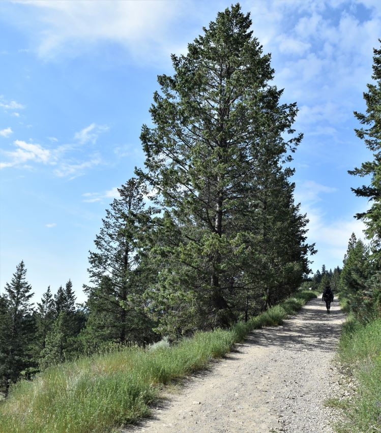
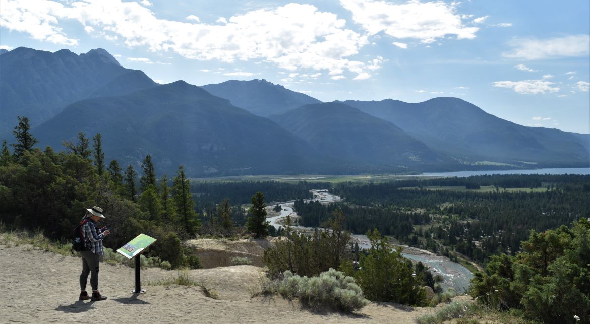
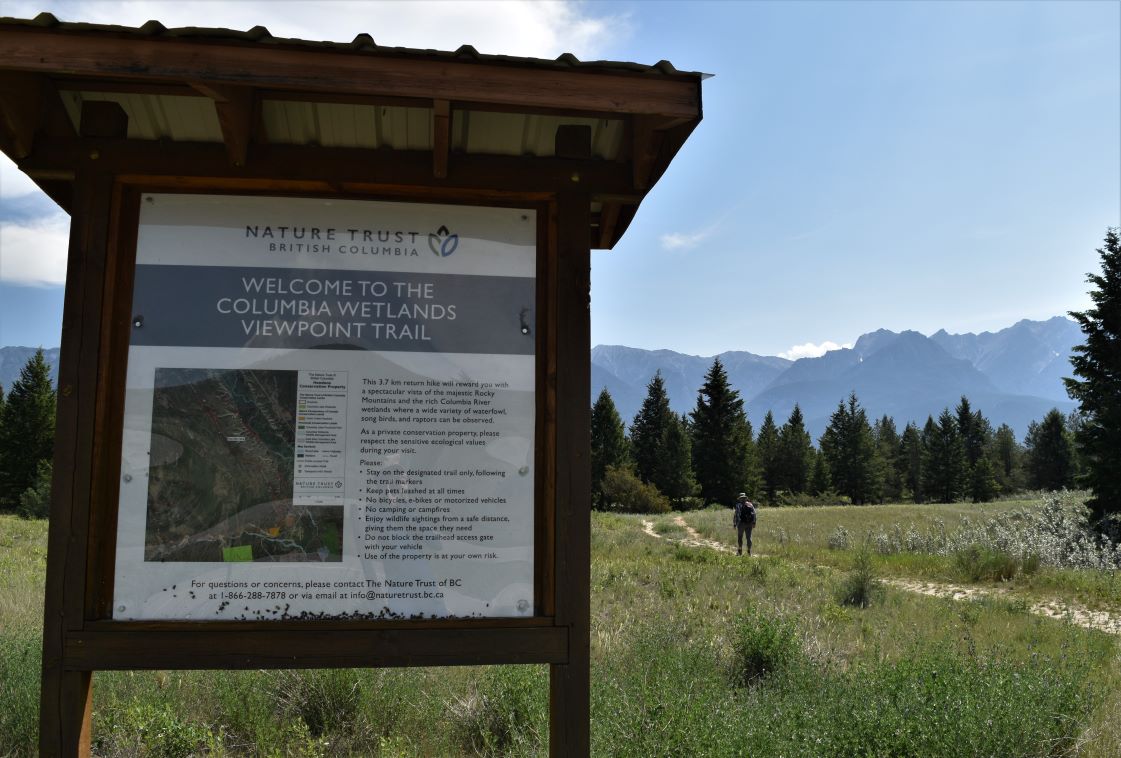
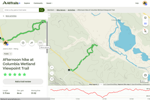
Colombia Wetland trail

The second short walk was wetland. I was trying to mix it up a bit re the kind of terrain we were on this day. It was a more exposed and easier walk but about as hard as one would want to be walking on a hot day.

The end of the walk offered a lovely vista of the lake…but we were a little disappointed not to have any real lake access…we had been hoping to end up on a beach….

The loop back took us down through some lush forest. Lovely and cool as the day was heating up……but the mossies were stirring…..so there was no lingering in the shade.

Part 3.

Windermere Lake Provincial Park.

The third pick of the day was Lake Windermere Provincial Park. The trailhead was a little more difficult to find…a longer walk…and part in forest, part across very exposed meadow.

At the bottom of the meadow path, it crosses the rail line. Then as you pass down to the beach there is a protected area that is the habitat for Bank Swallows that live in this small area. (click)

The Alltrails trail goes along the waterline to a beach…but the lake level was too high for there to be any way for us to traverse this reasonably….and we could not see a way to get there on land without encroaching on the bank swallows habitat……so around we turned…and back up the meadow.

It always surprises me when we return down a path at how steep it is going down compared to the up. This one was the reverse….it was hard going back up the meadow especially as the heat of the day was starting to take hold.

Another good day to finish in the hot pool.

Fairmont Hot Springs….and Marion Benchlands Trail.

Once again we are out traveling the highways and byways of Canada. First stop was our regular spot just north of Calgary to ‘shake out the bugs’ and to visit with the youngest for a few days before heading off again. Truth be told we did not really have a plan of where we were going next…so the stop in Calgary was as much to figure out what, if anything, we had forgotten…stock up a little on groceries …take the cat to the vet…and make a bit of a plan.

Pitching camp at the Fairmont Hot Springs is always an easy decision…and handily only a three hour drive from the north of Calgary. Of course there’s a bit of mountainous driving and a couple of 8% grades just to make sure one is awake….it’s always delightful to find that your brakes work just fine…!!

We spotted our first grizzly bear standing by the side of the road just before Radium…….no time to stop and say hello…we just waved as we whizzed on by and said a silent thank you to the order of grizzly bears for putting that one not-in our path…!!

Fairmont is just such a beautiful place …and the BC landscape is so very distinctive.

The first hike of this adventure series was Marion Benchlands. A relatively easy 12 km loop trail along the Marion Bench and back. Mount Marion is a member of the Purcell Range which sits on the west side of the Colombia Valley.

Added bonus, it’s an easy 10 minute drive from the campground.

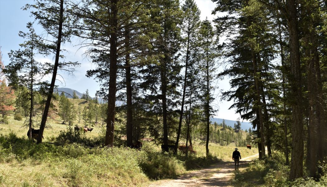
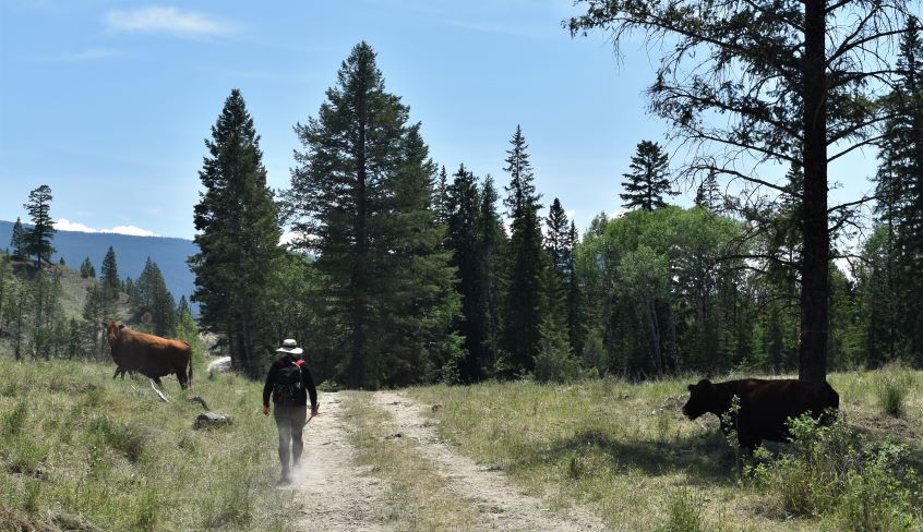
The starting point, as with many BC trails we have walked, is fully stocked with cows…!!!

Since it is our first in a while, and we are not getting any younger, a fairly easy hike was selected just to get us back in the swing of things

We still wanted the climb to reward with some views………and Marion did not disappoint…….

Realizing that we had not seen BC in this season, it was wonderful to see the landscape lush and plentiful with wildflowers.

The hike itself followed a ridge around a canyon, a welcome combination of shaded forest and wide open meadows

As we walked the light breeze brought intermittent wafts of wildflower fragrance….and then after a deep breath of anticipation……. the next waft would be cow fragrance….😂

The Colombia Valley is impressive to say the least….

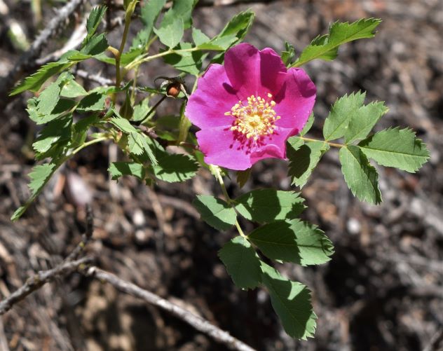
A littering of prairie roses (one of the few wildflowers I can readily identify…..my mother would probably be horrified……she would have their latin names and medicinal uses tripping off her tongue as we walked…LOL). So pretty..!!

As we descended the ridge, a pack of large bovines were sunning on the path. I’m not sure why I had to pick up the big stick to walk past them. I am not sure what I would have actually done with it…..but I did feel better with it in my hand..!!

….and back down to the truck again. It was a nice easy 12km walk on a beautiful warm day free of humidity and best of all……..no bugs..!!

An excellent start to our season leaving us still able to walk the day after and looking forward to finding more beautiful spots and interesting vistas. 😁

Extra pix.

Prepare the wagon…and let’s go…!!!

Part four of the winter shenanigans posts…… and then off we go again…!!

When the signs of spring arrive outside the kitchen window….

…and the neighbouring farm is firing up the irrigation pivot…..

…..it was finally time to de-winterize the trailer. Oh boy were some people excited around our house.

This is a whole bunch of tasks varying from flushing the pink stuff out of the water lines, checking the tire pressure and lug nut torques. Lubricating and de-corroding all the outside moving parts from stabilisers to locks.

Then the job of packing up. Which is very different when you are not packing up a house with no idea what you are going to need….or where you might be next week. The last couple of years have involved much learning.

I’m not sure we have any better idea of where we are going to be next week…but we do know that come winter we will be somewhere sheltered……with a fire…!!!

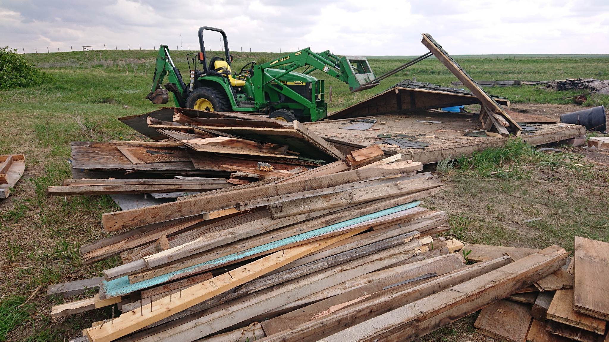
Tearing down that ugly shed before we go.

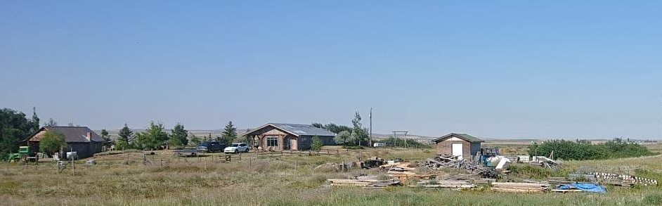
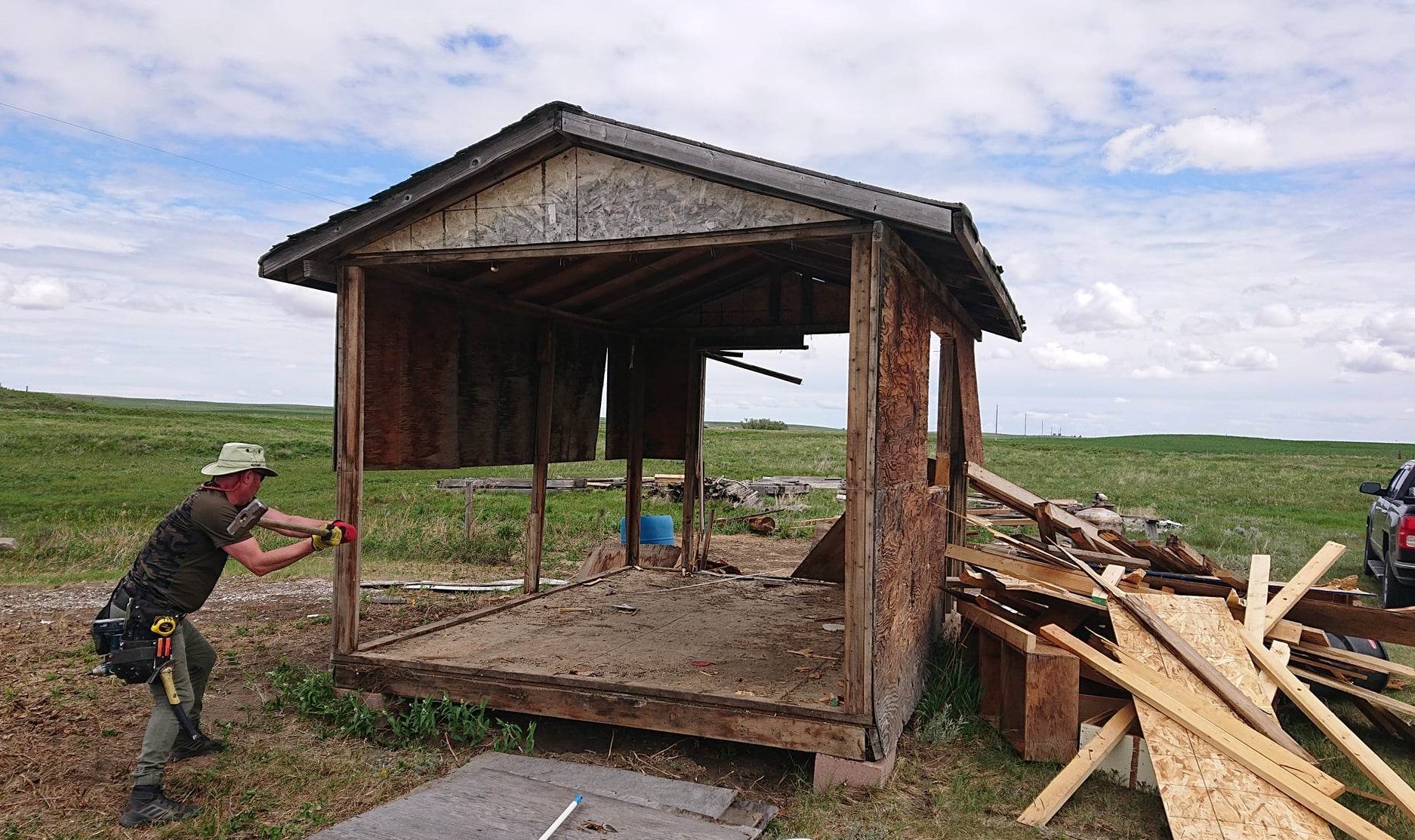
Having cleaned and cleared so much garbage from the north field ( steel drums , plastic drums, old windows renovation debris etc )……a big priority before leaving was to get that ugly eyesore of a shed torn down and gone. It was a carbuncle ruining the view from the kitchen window.

I’m not going to say that it did not offer any resistance……..but between the sledgehammer ……….

…..the tractor……

and a bit of grim determination……

…that thing is gone……..and may have been slightly cremated……

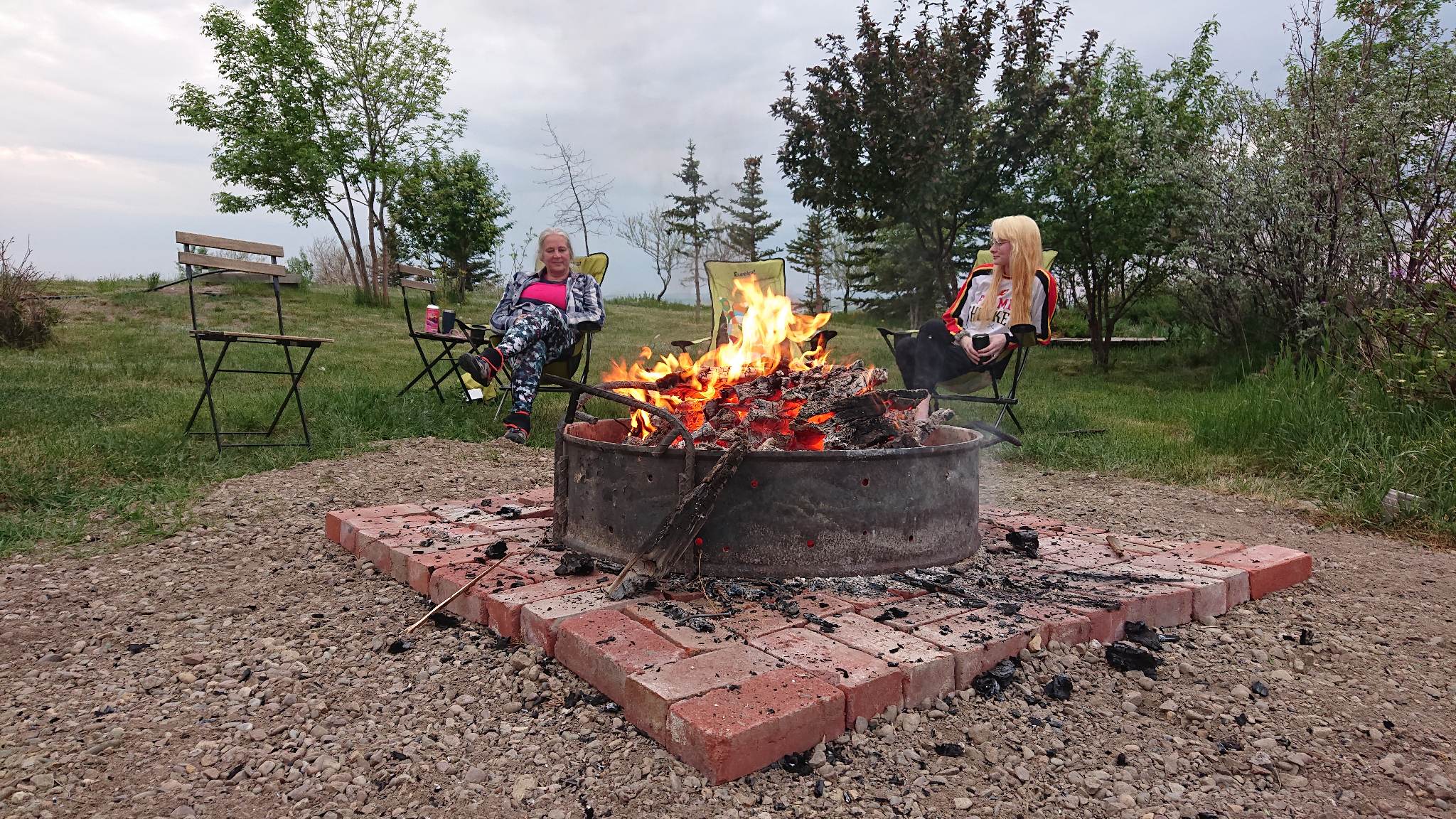
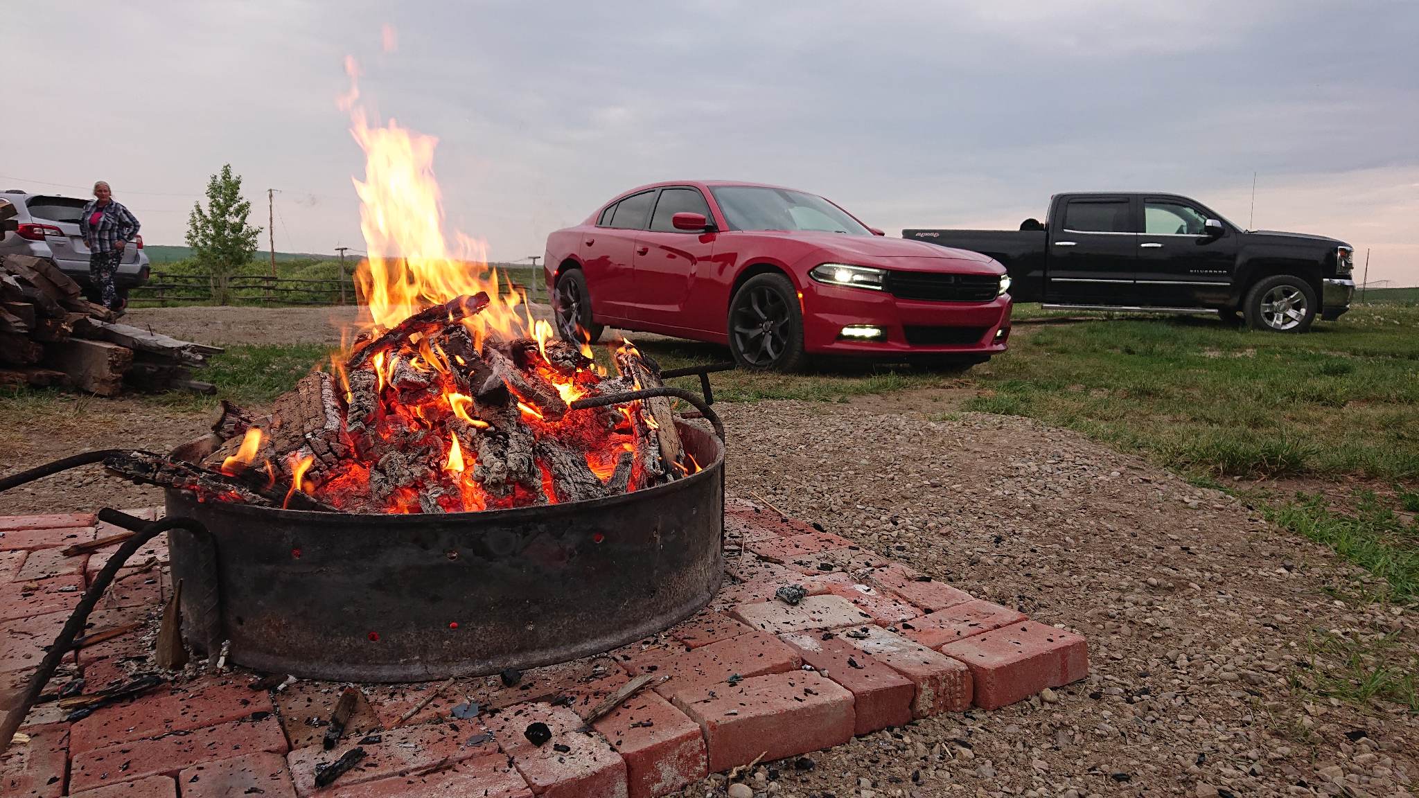
Honest…most of it went to the dump….but some of it did end up on the fire ring ( Editor, it was a squeeze but I made it fit )….requiring a bit of cosmetic upgrading to said fire ring….. ( message me if you want to see the ridiculous video…… 🤣)

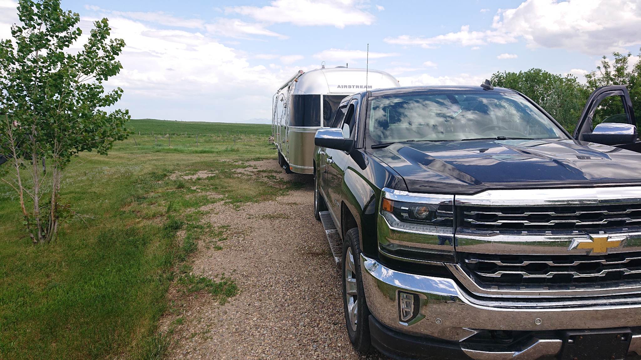
With that task done….old Xolo was hitched up and ready for action….

So……to our Calgary ( slightly north of Calgary ) regular spot……handy for our favourite veterinarian, and handy for the city without actually being in it…..

Springhill RV campground…

Its a very handy spot to visit with our youngest daughter while making plans for next stop.

oh….and in other exciting news…..Scott is now officially a Canadian citizen….it all came through just in time for him to vote….!!!

………and for whatever reason…… ( we applied at EXACTLY the same time……..!!)….mine is still pending……hopefully soon.

So….of into the world we go again…….more adventures coming up…….. 😁

….and then there’s the woodpile….

This will be the third of the winter updates…… ( a quiet winter of projects….(.click ) and hanging with the neighbours (click)

Spoiler alert…..we are back on the road so there will be some more adventuring coming to your inbox very soon…!!!

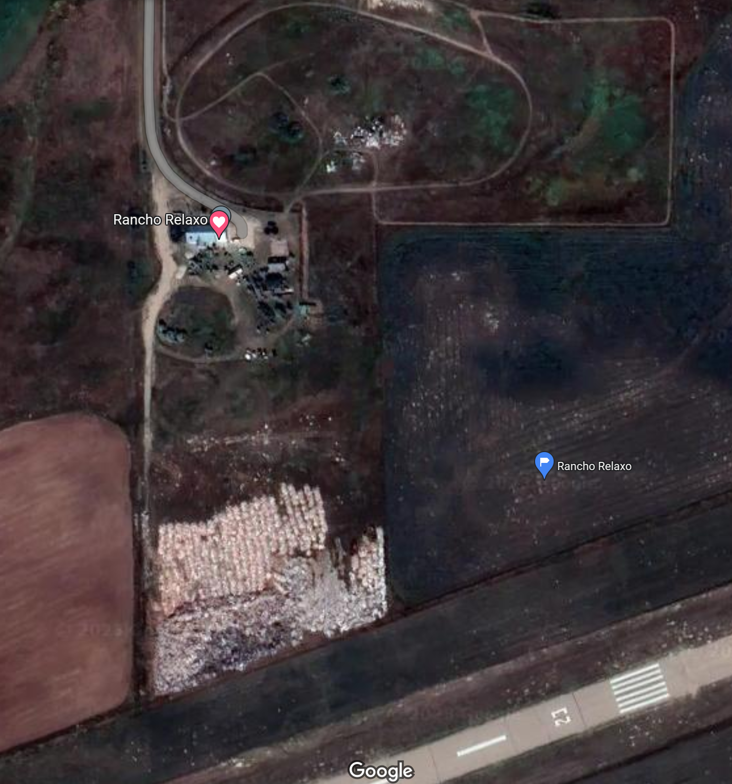
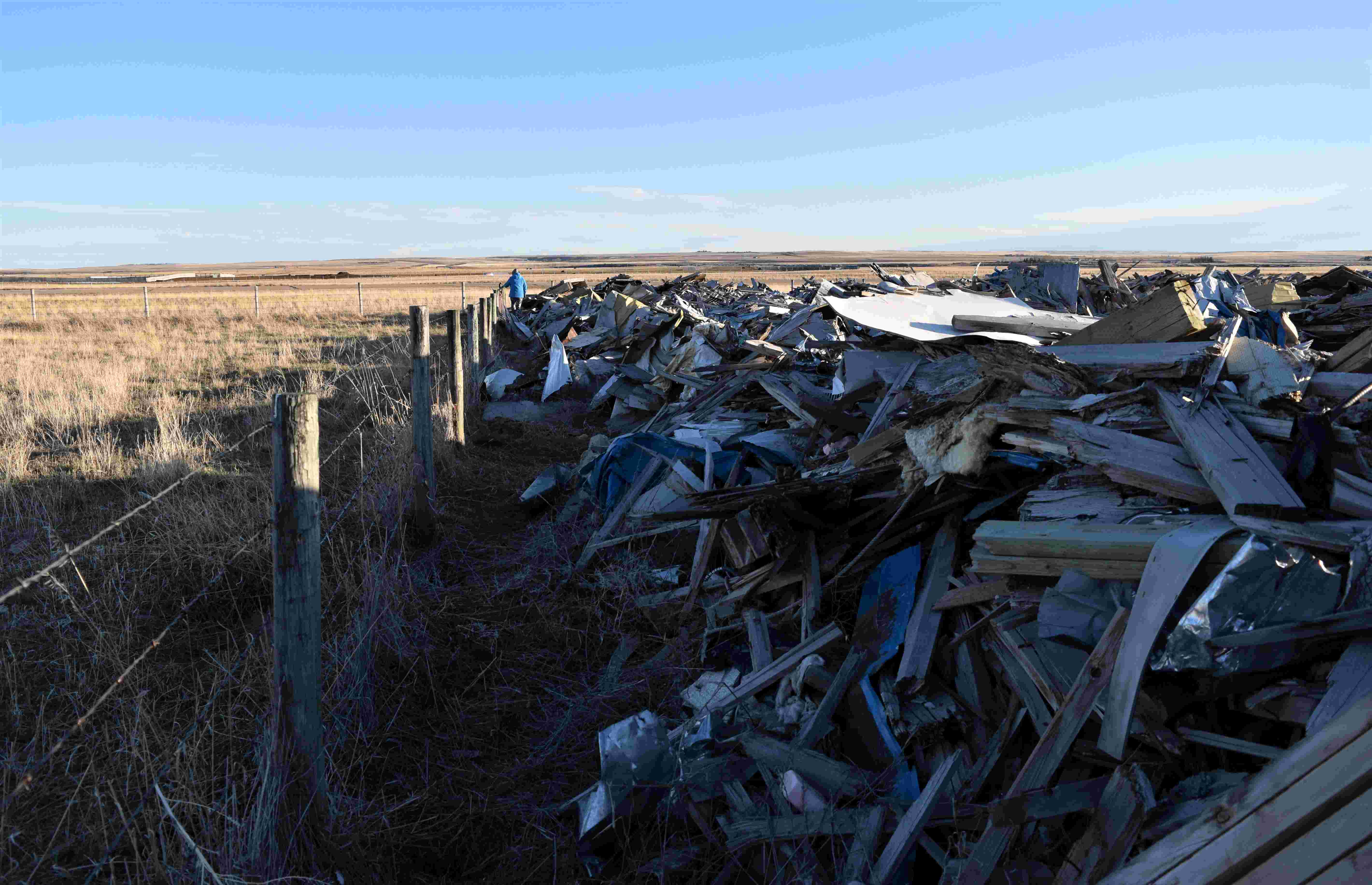
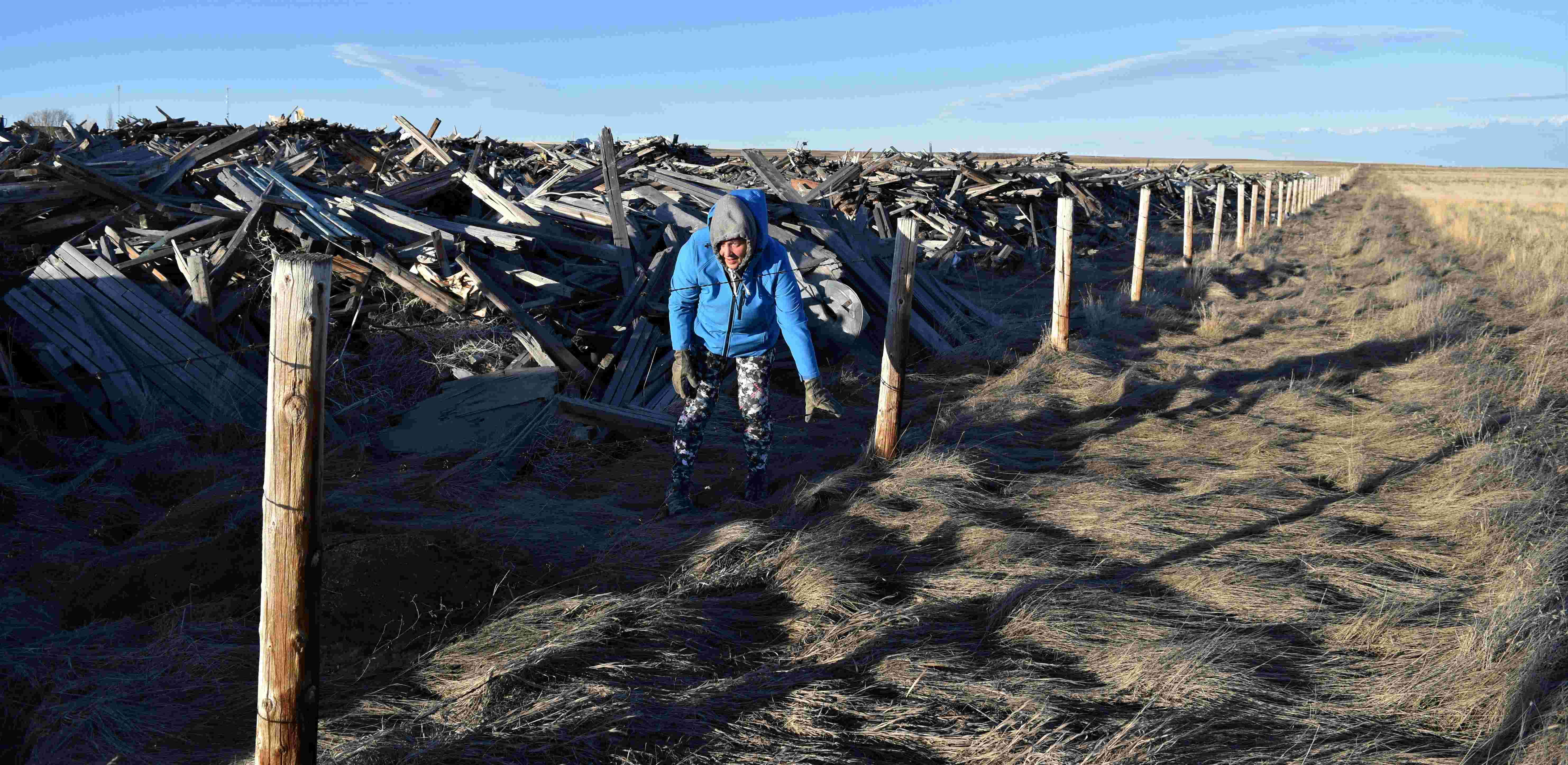
Not everyone can boast that their woodpile is visible from space…!! …and I’m not too sure that many people would see the fact that we can….as a positive…!!!

One of the features that gives our little spot on the planet some real character…LOL…

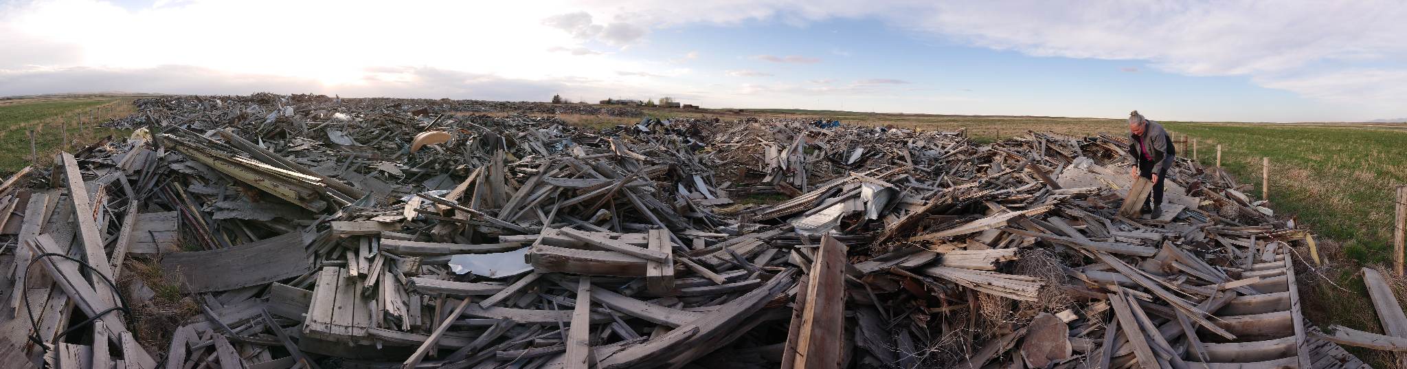
Here in this part of Alberta there are not a lot of trees……which makes the fireplace a bit more of a challenge……unless of course…you have the remnants of three grain elevators at the bottom of your garden…..The Milk River elevators were demolished in 2019…and the previous owner of our property did a deal with the county to take the debris…Im not sure if he had any concept of just how much ‘stuff’ that would be…….I’ll tell you its impressive.

Many of the farms have ‘shelter belts’ mature trees around the farm buildings…..southern Alberta can be very windy….!! but apart from that the sources for firewood are very limited……other than at our place…LOL

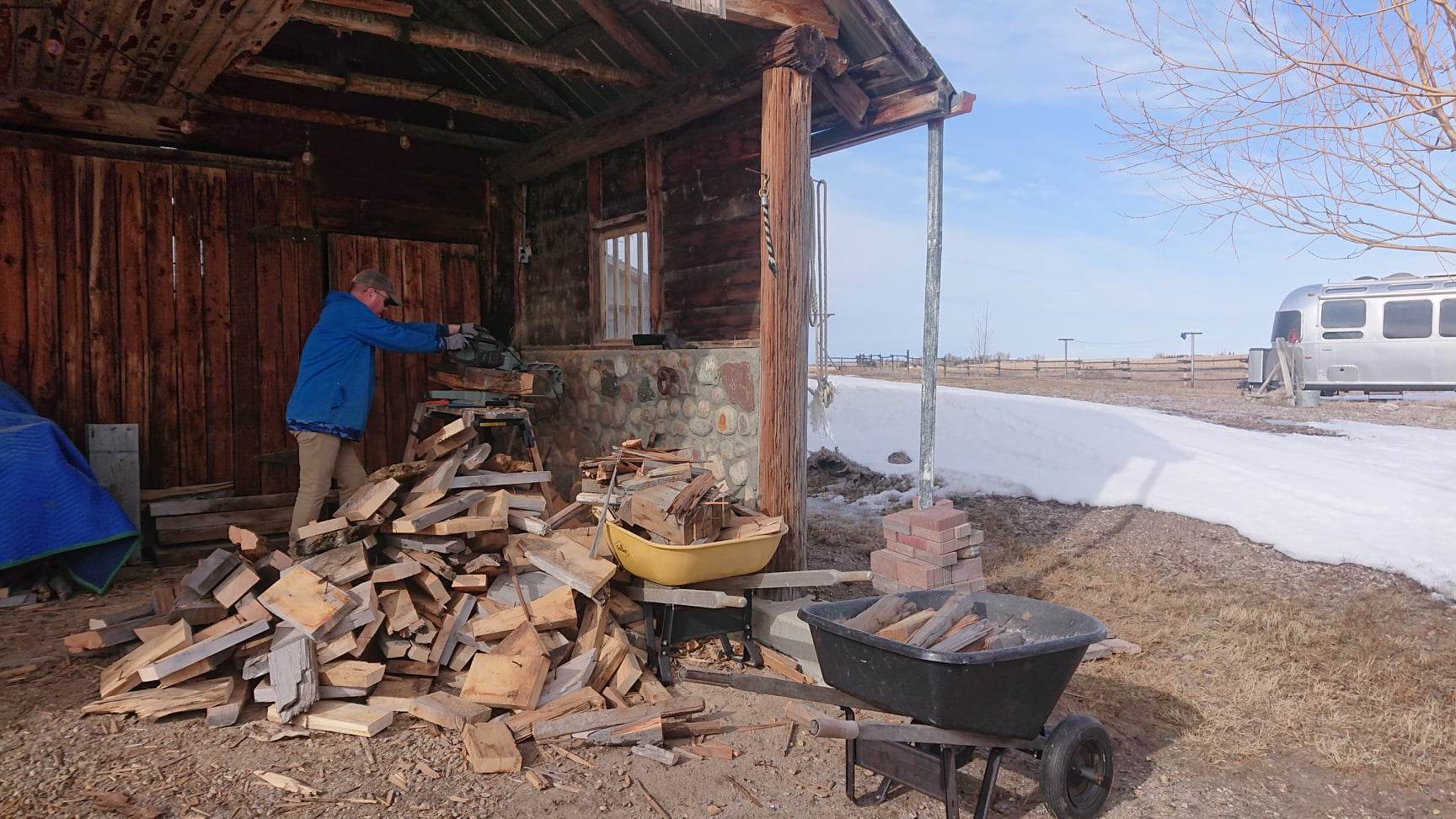
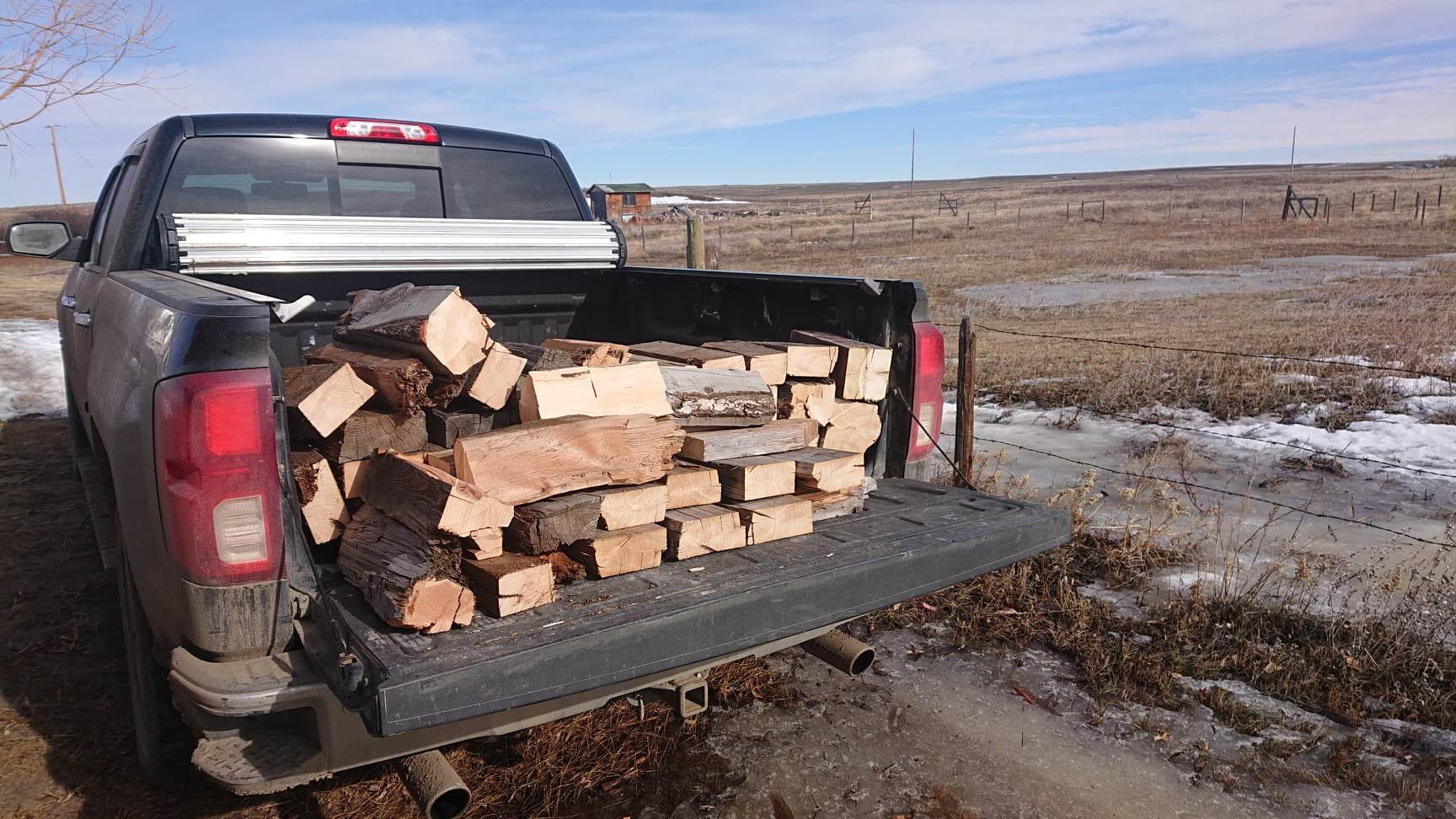
In winter for us it was an ongoing chore ( pioneers in the new world we are….lol). The collection, chopping and stacking of lumber for the fire. Not that we made any significant impact on what was there……but that old growth, dry douglas fir and cedar kept us warm.

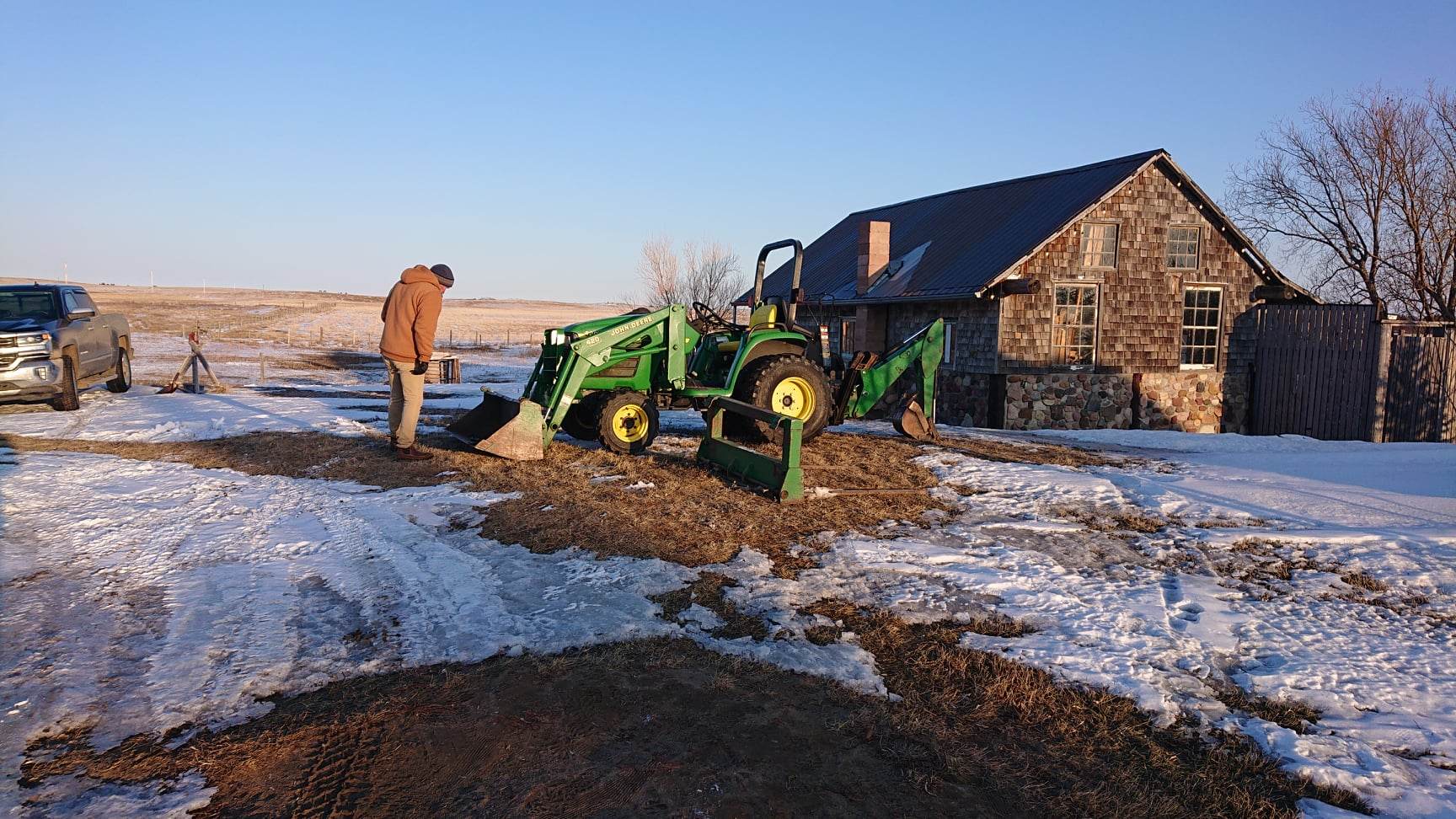
By the spring it had become abundantly clear to us that we needed a tractor. Between the snow clearing of the driveway, and the clean up of the property itself…there was a lot of stuff that even superheroes like ourselves could not lift.

After a delightful 45 minute drive out to the metropolis of Skiff Alberta…..!! we found this little guy….

…and it arrived on the back of a trailer a week later…..much to the delight of somebody in our house…!!

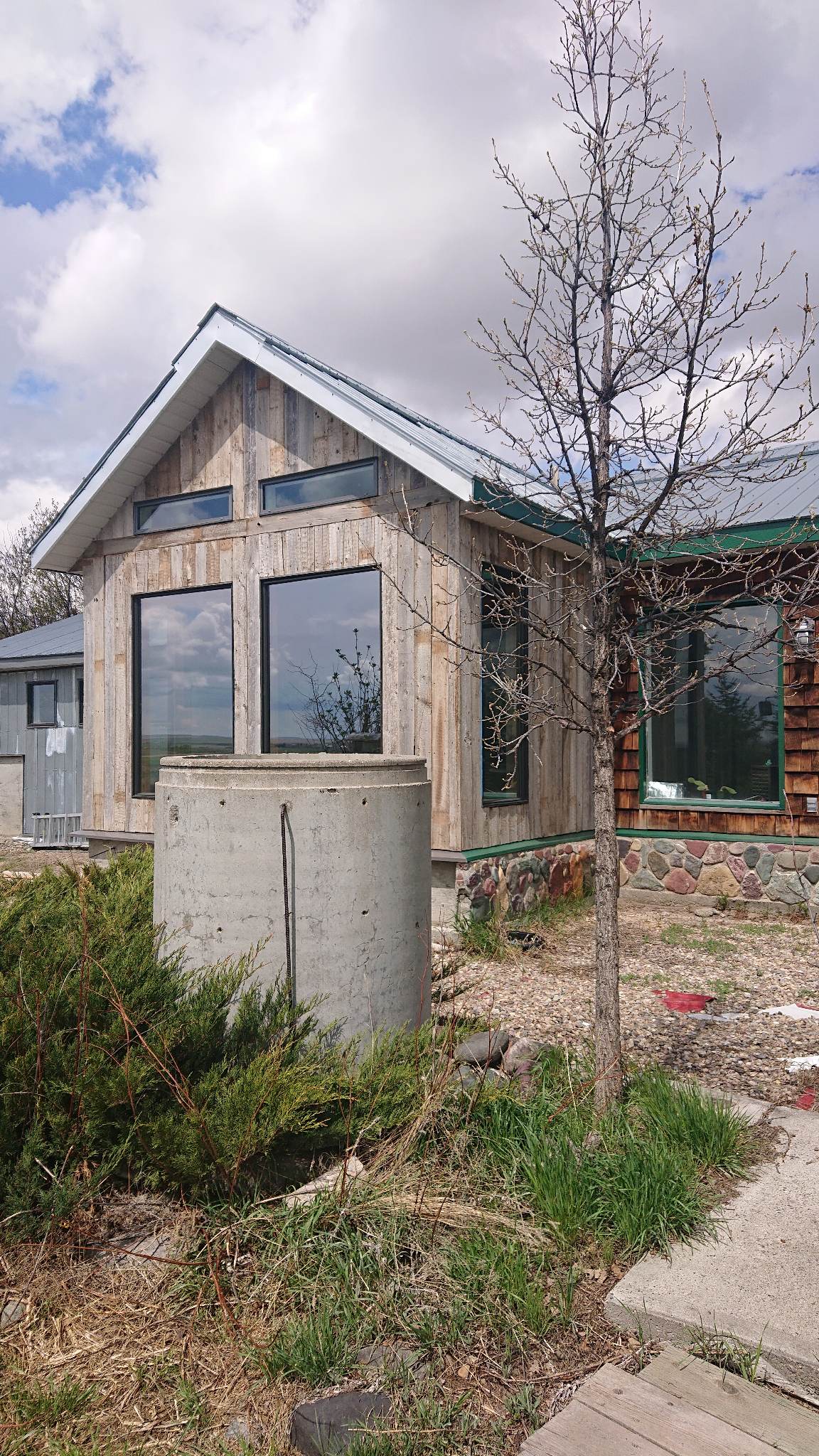
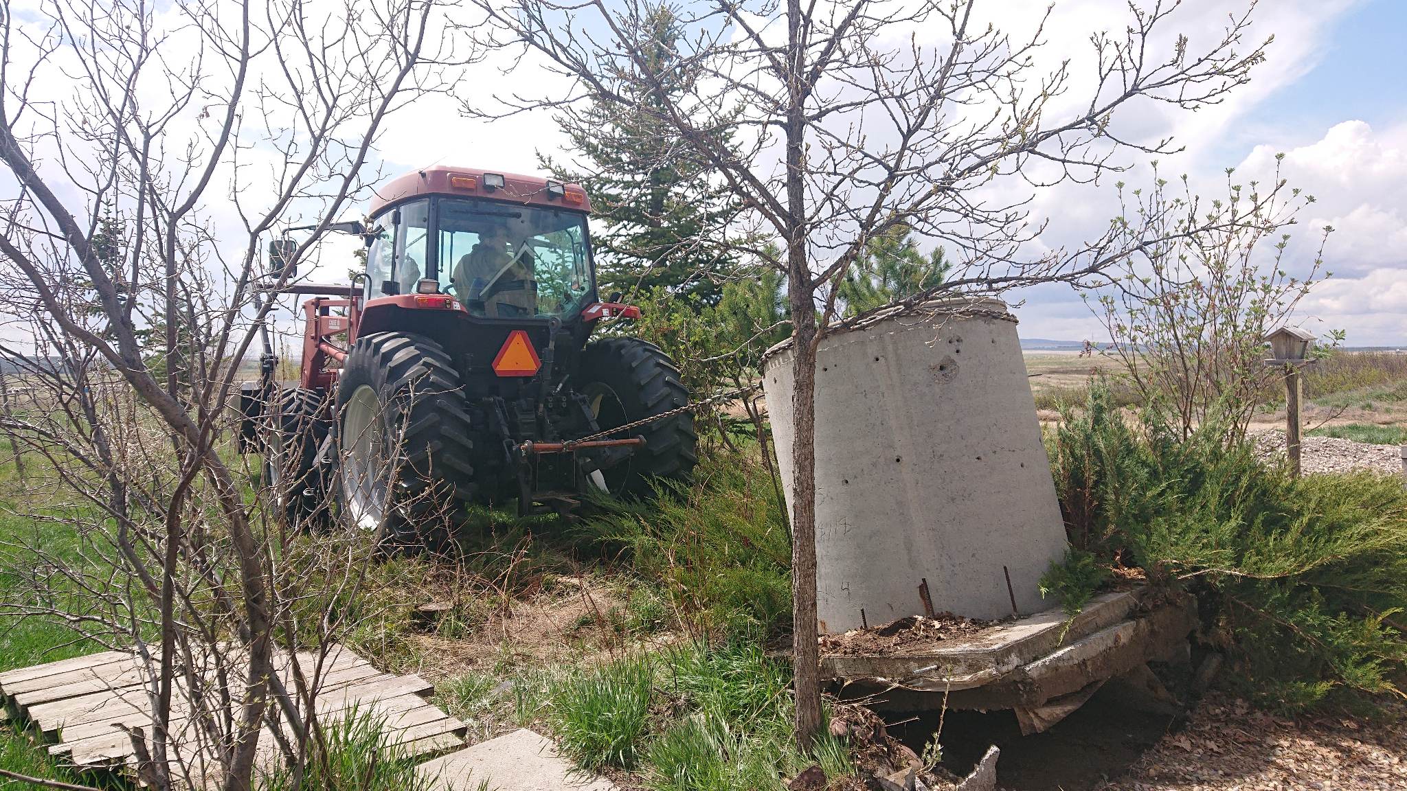
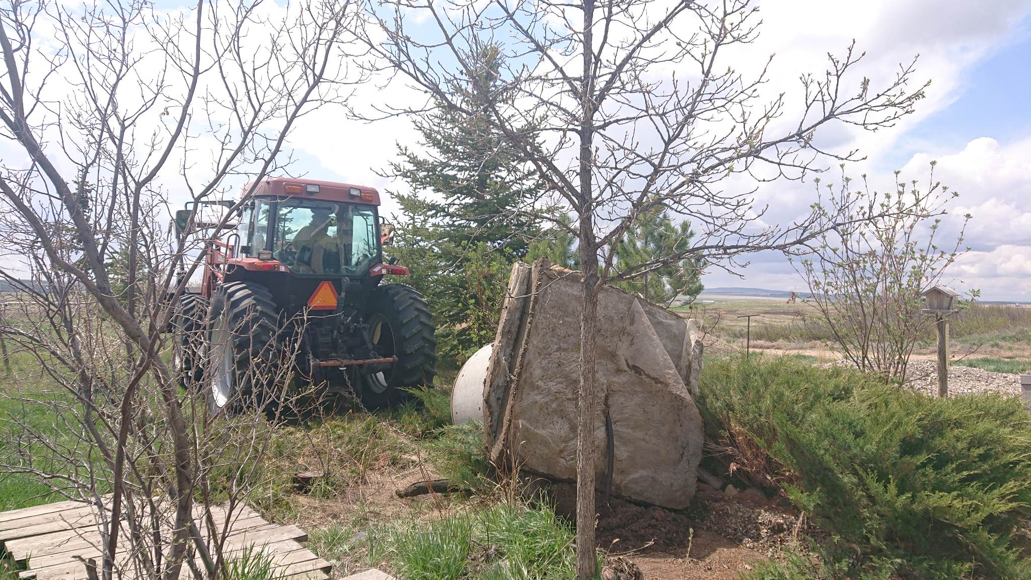
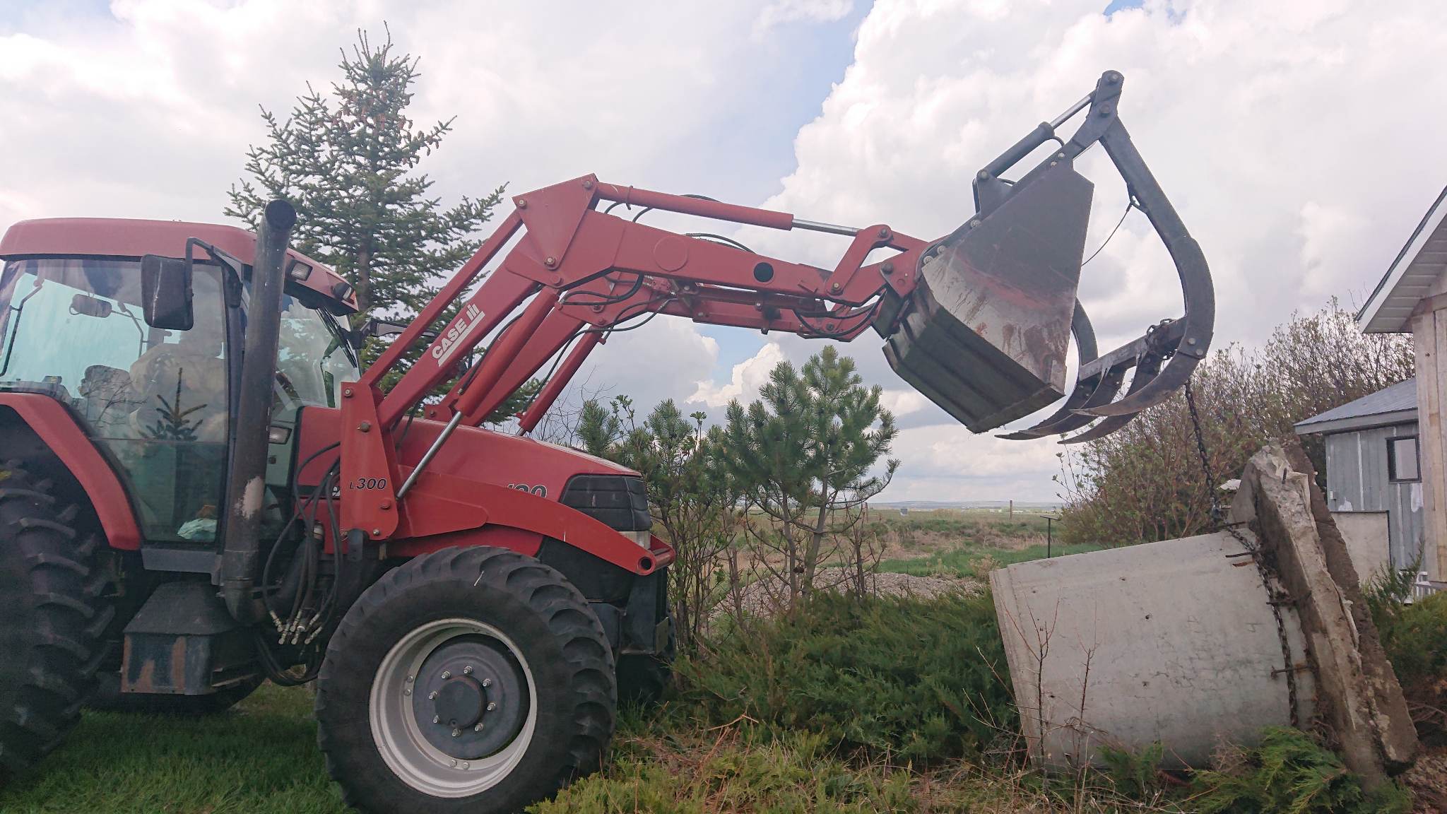
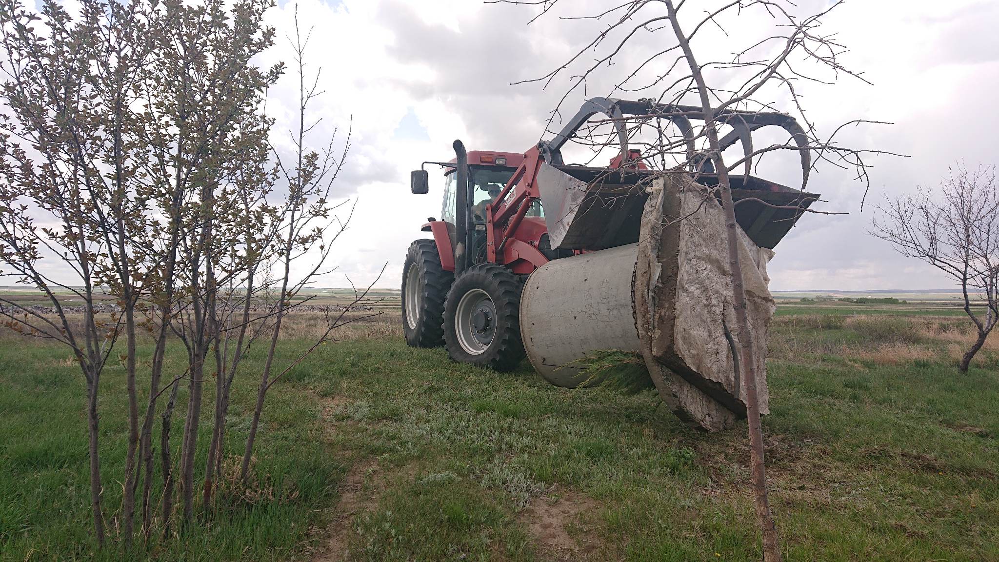
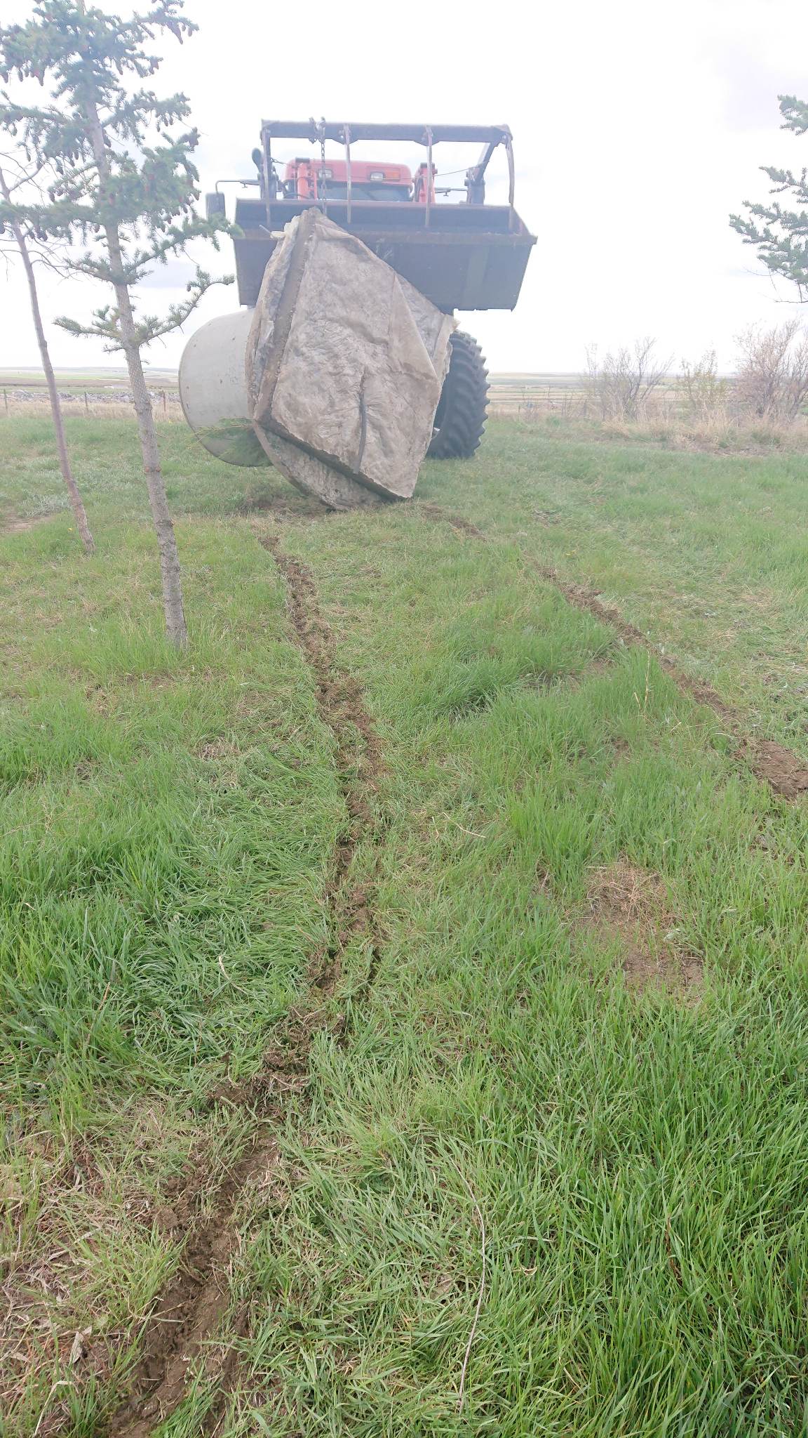
There was even some stuff that our little tractor could not manage , but luckily reinforcements came to the rescue with a bigger tractor….( a Case MX 120 I’m reliably informed..!!) We couldn’t come up with the intended use for this pipe on a large foundation but it was right in front of the bedroom windows and had to go.

The other major asset we have out here is that we have really great neighbours who have helped us out and made some of the bigger problems solvable.

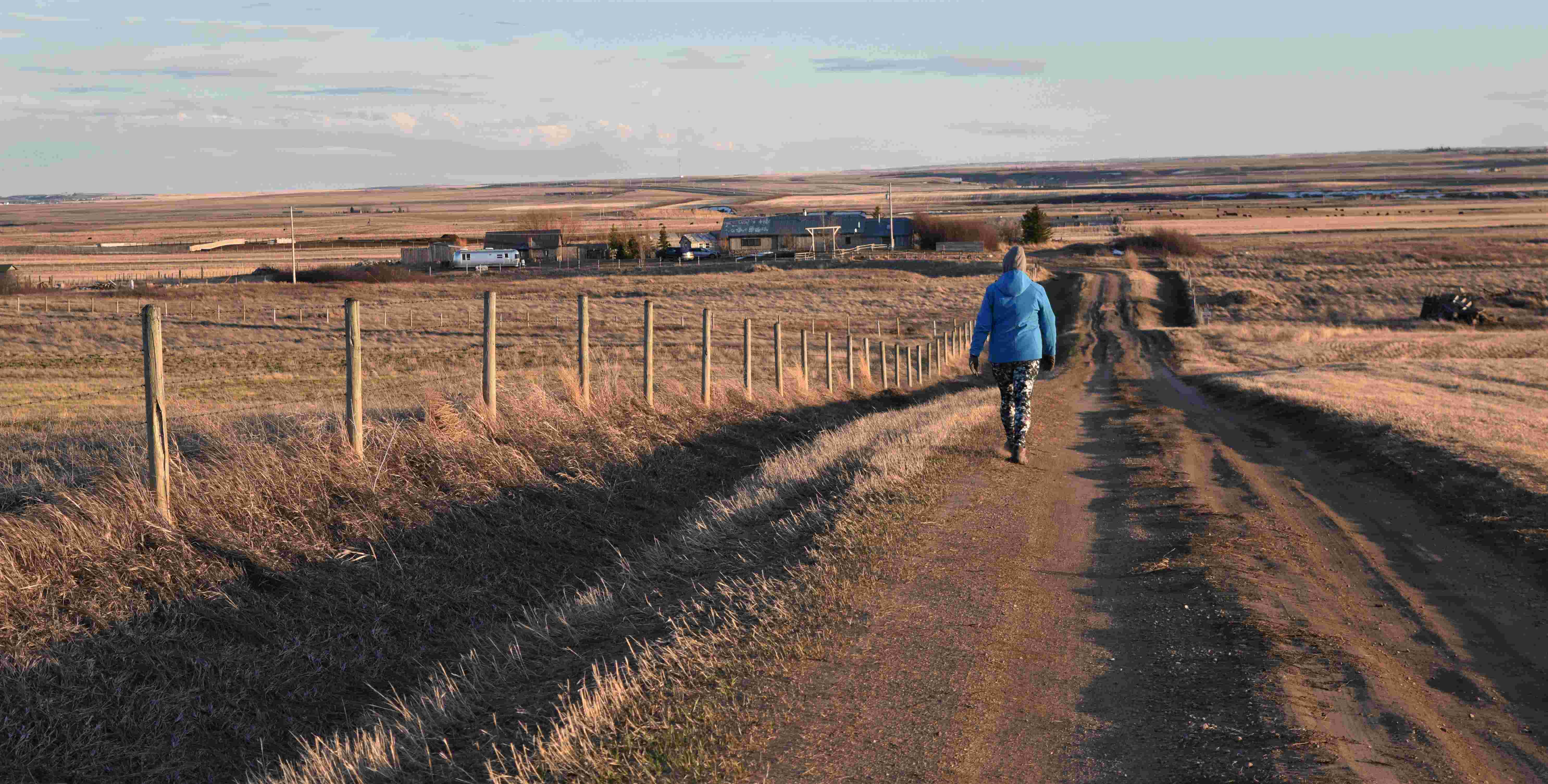
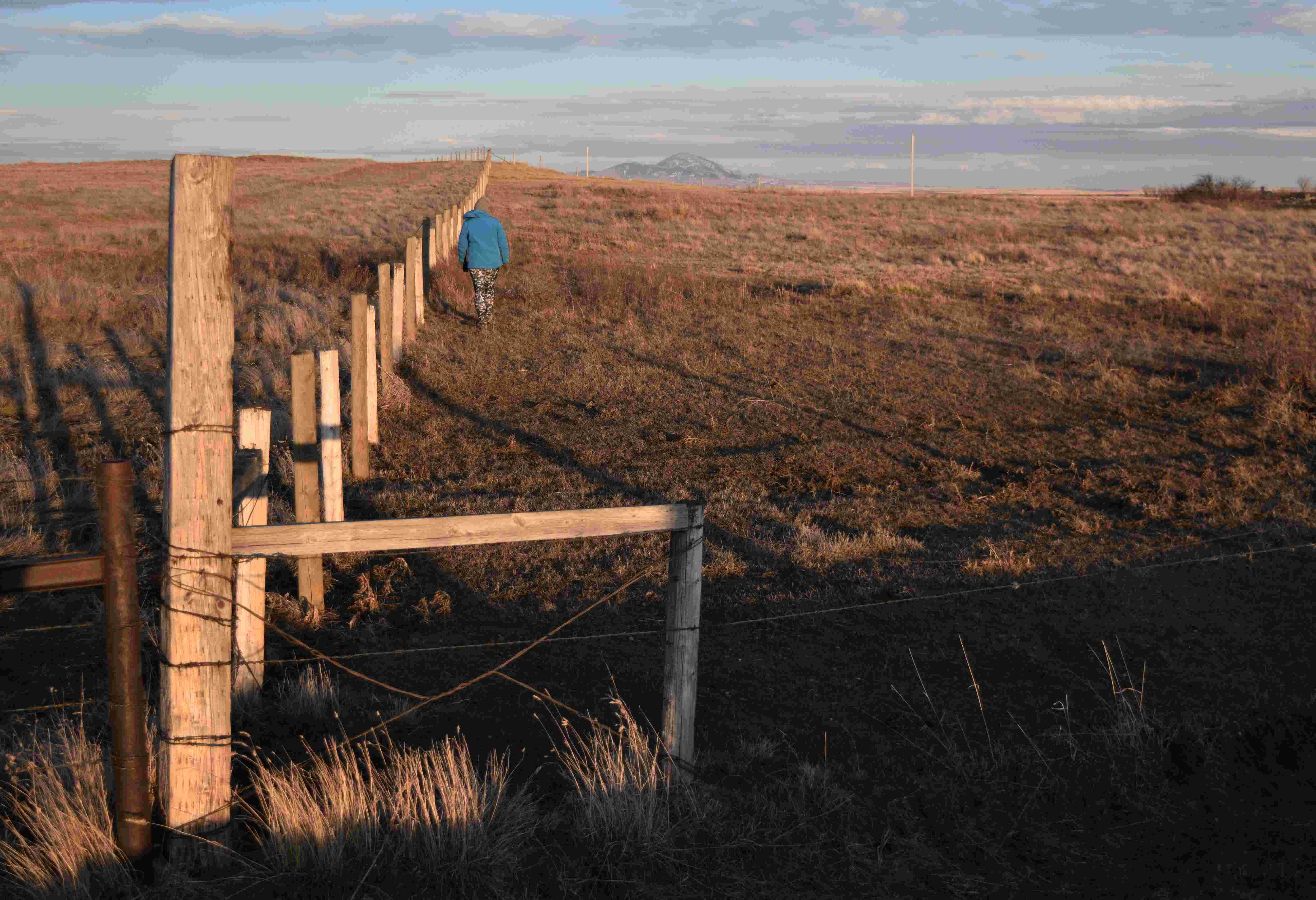
As spring unfolded into outdoors bearable weather we were able to get back out there and become re-acquainted with this little haven of ours. Here is the photographic walk of the property line.

First we go down the driveway….past the neighbours wheel line (irrigation)

Along past the ‘race track’ ( you can see the race track on the satellite picture at the top)…….

Admire the Sweet Grass hills as we head out to the east corner….

…..back towards the house past the temporary duck pond……

…then loop around the infamous wood pile…!!!

Phew….that was a lot of stuff. As you can see there was not a lot of sitting still this winter…..we need to get back to some travelling for a rest…!! 😁