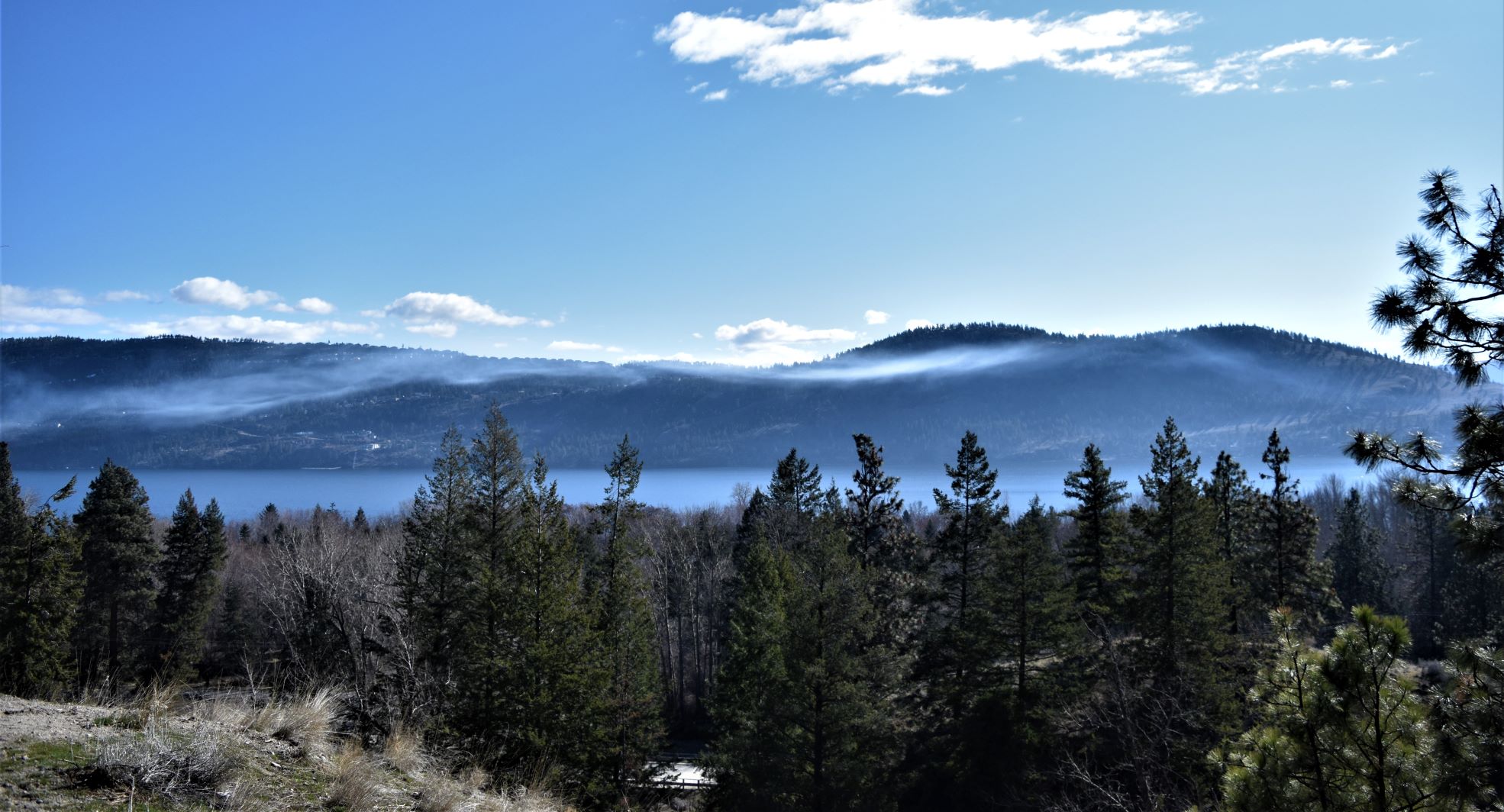
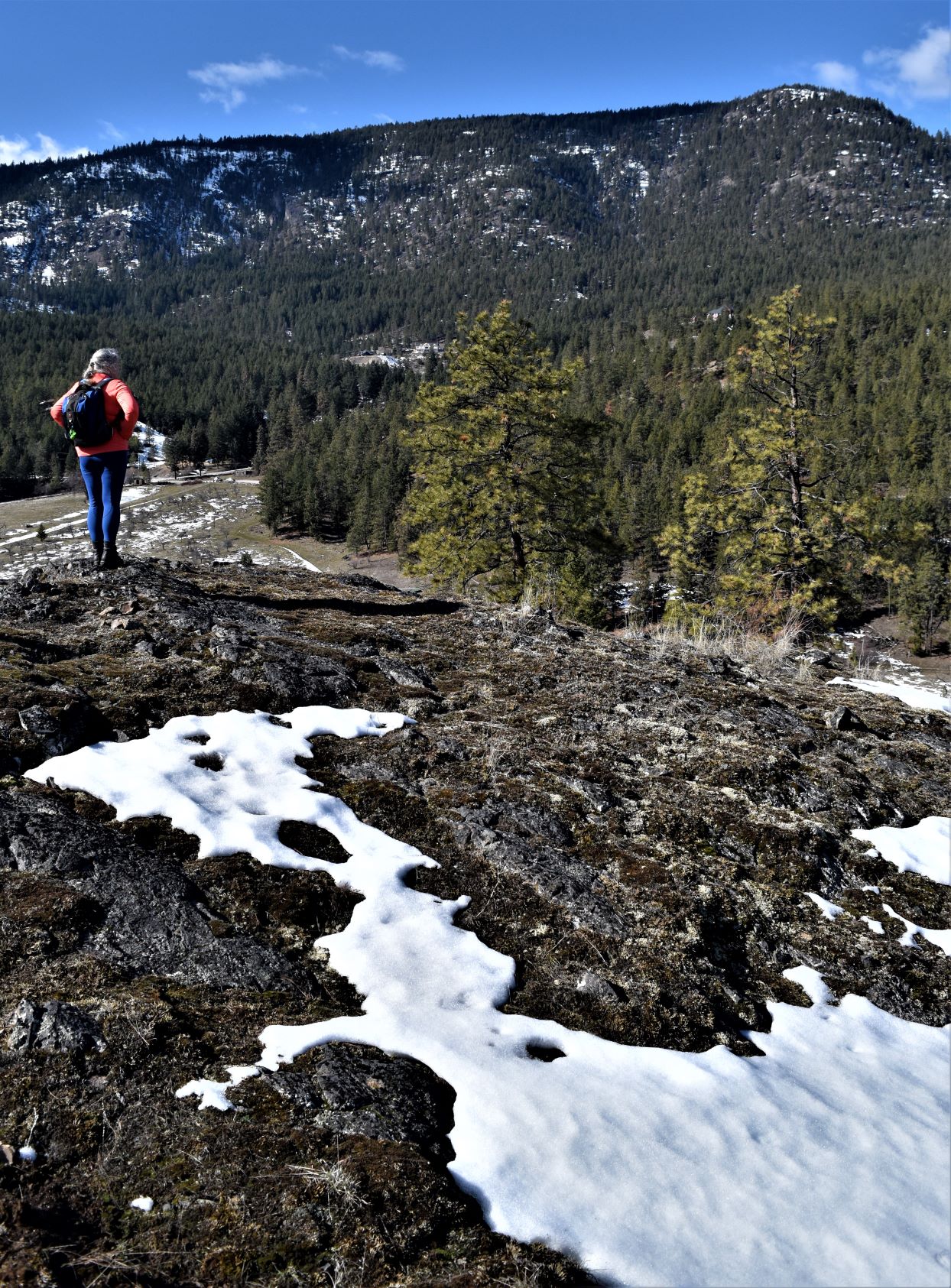
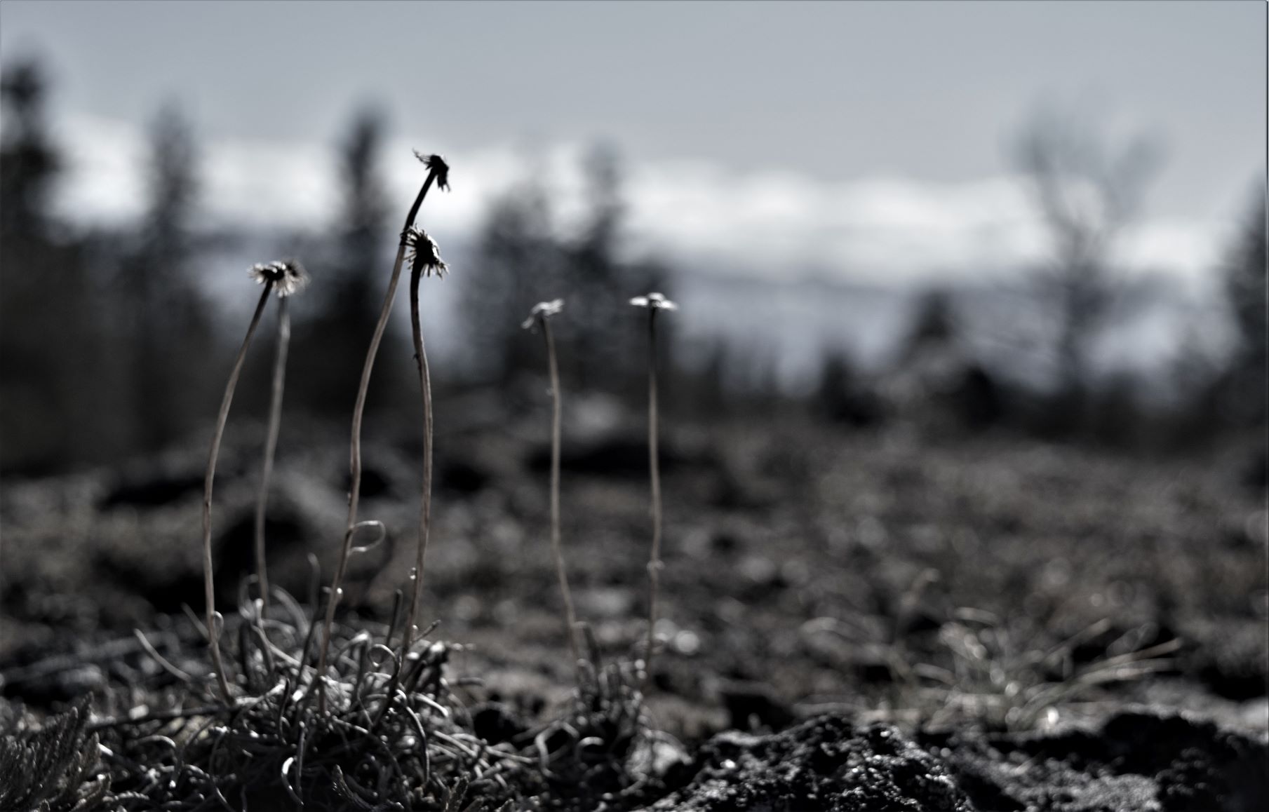
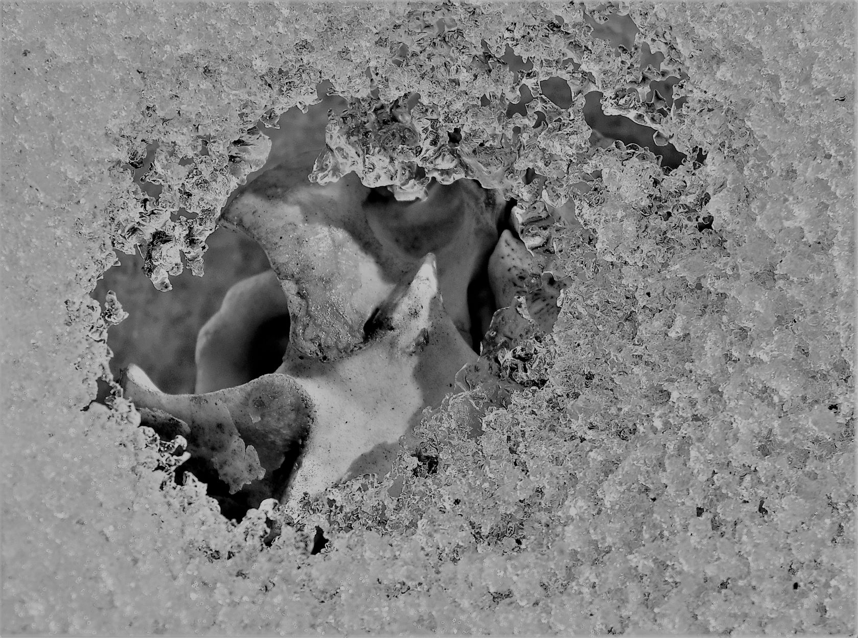
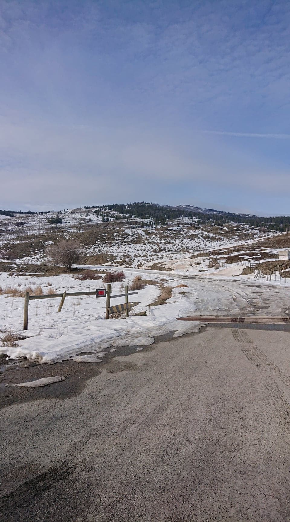
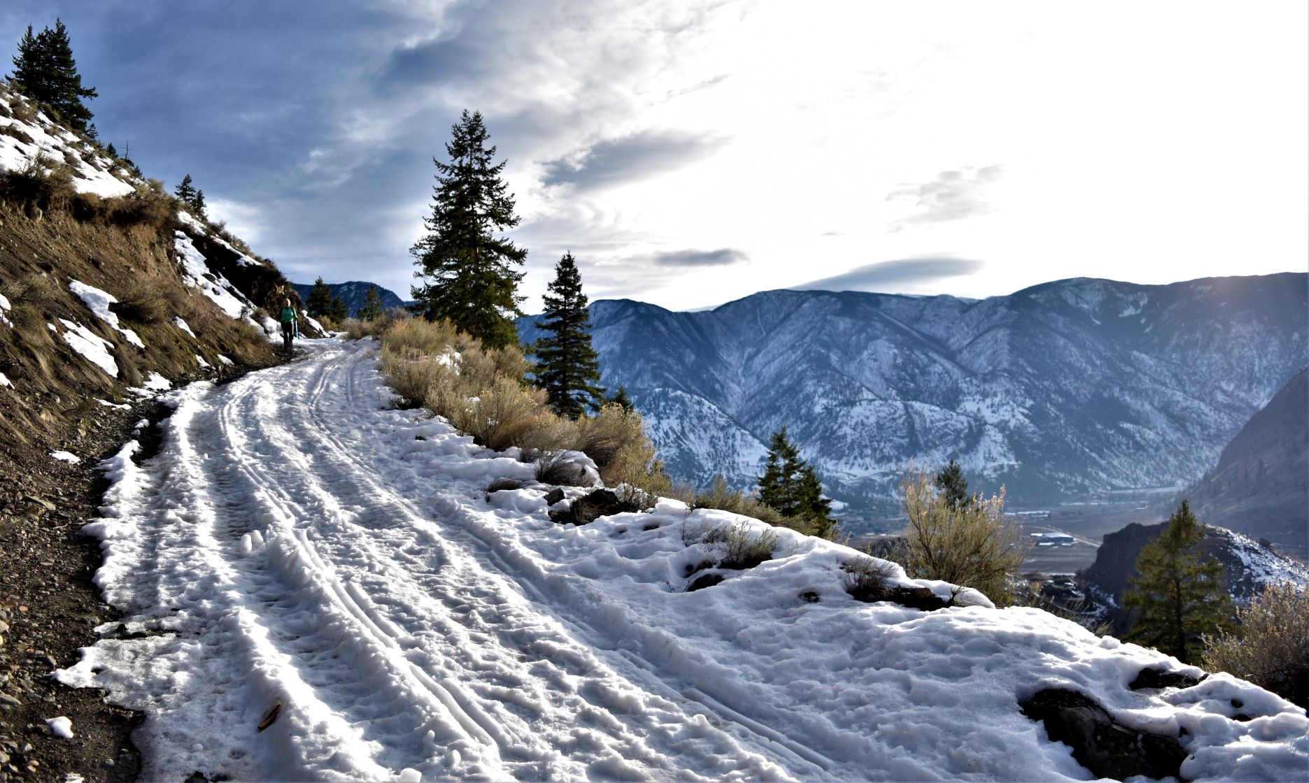
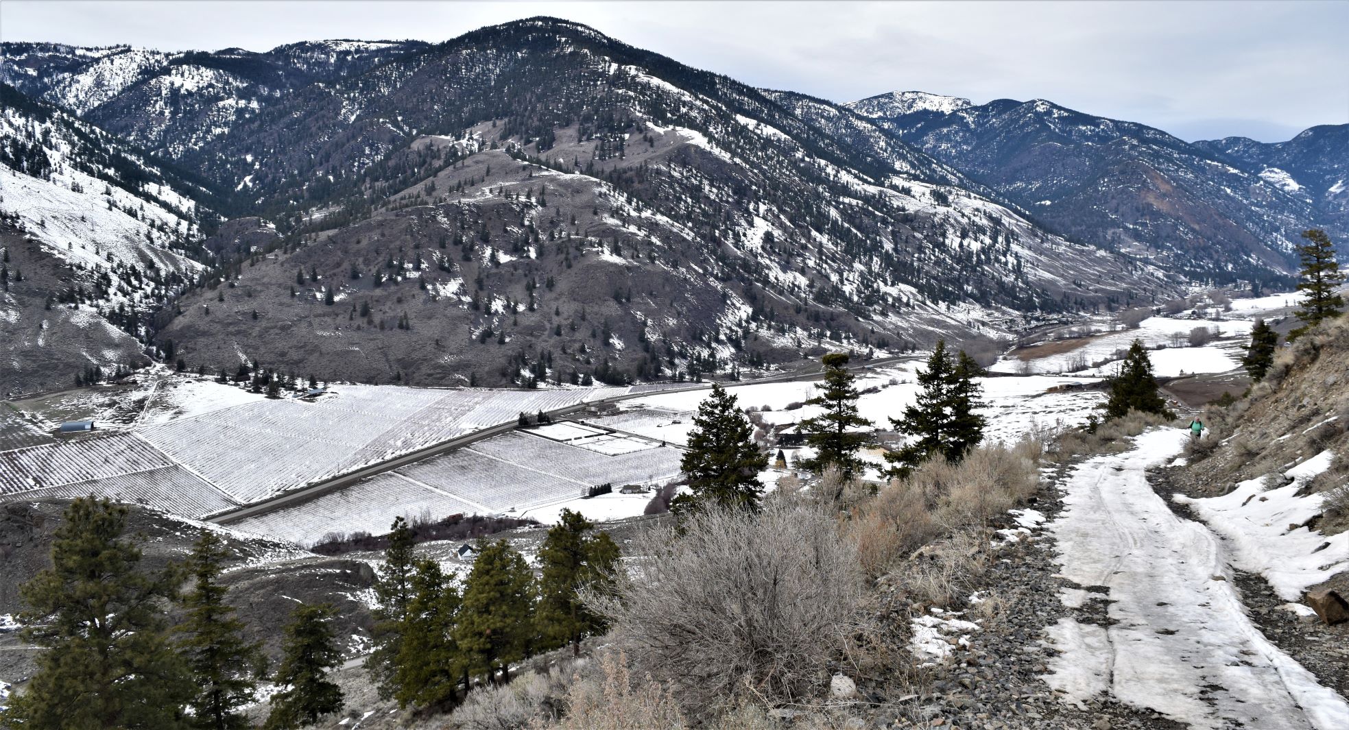
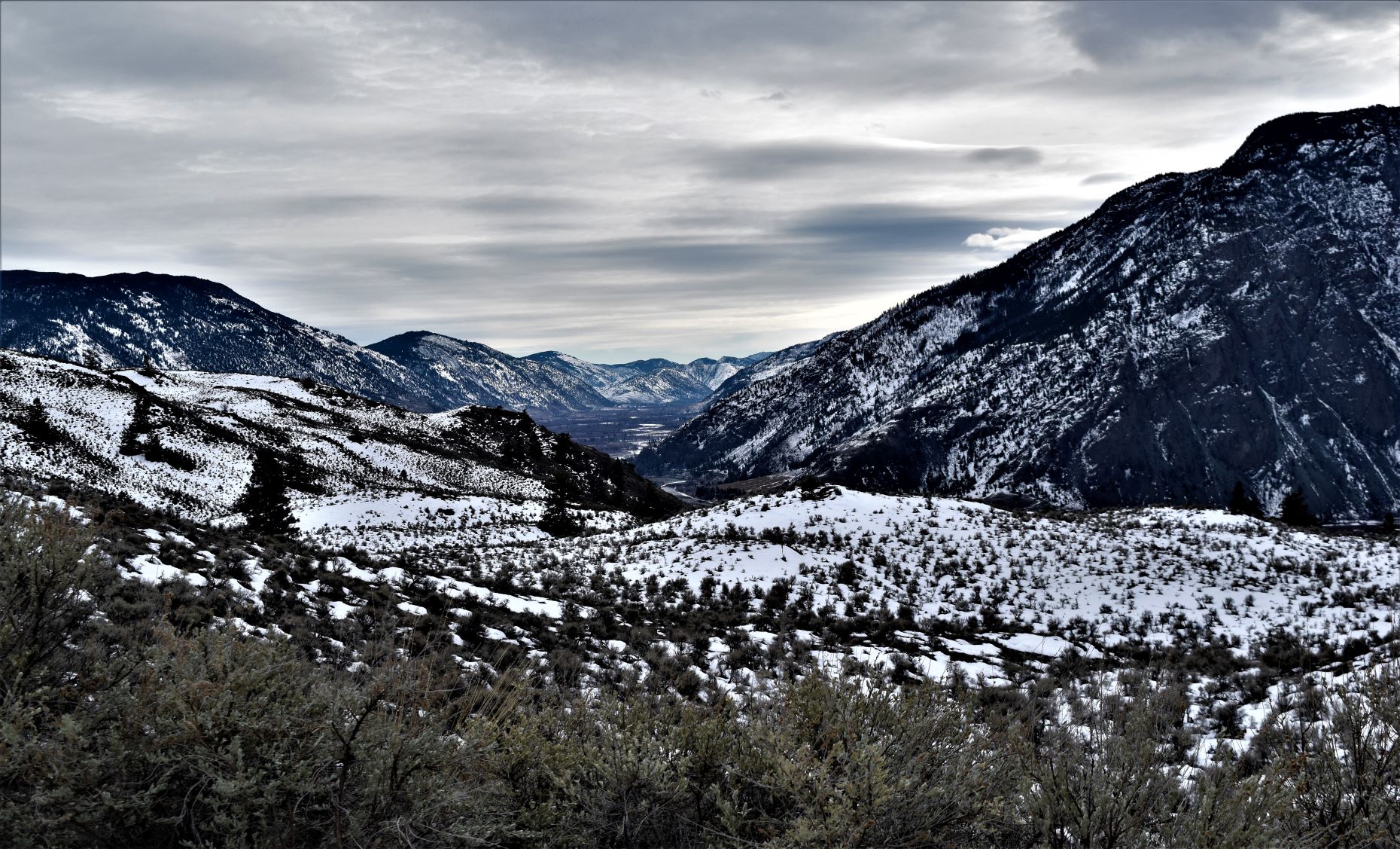
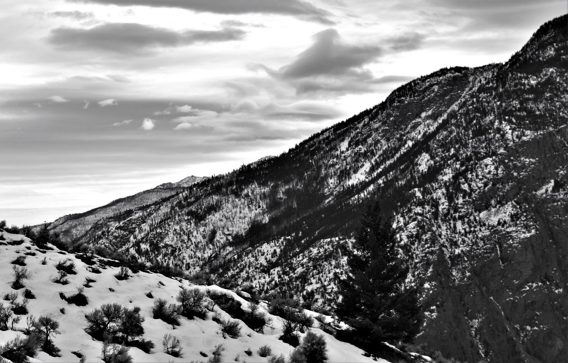
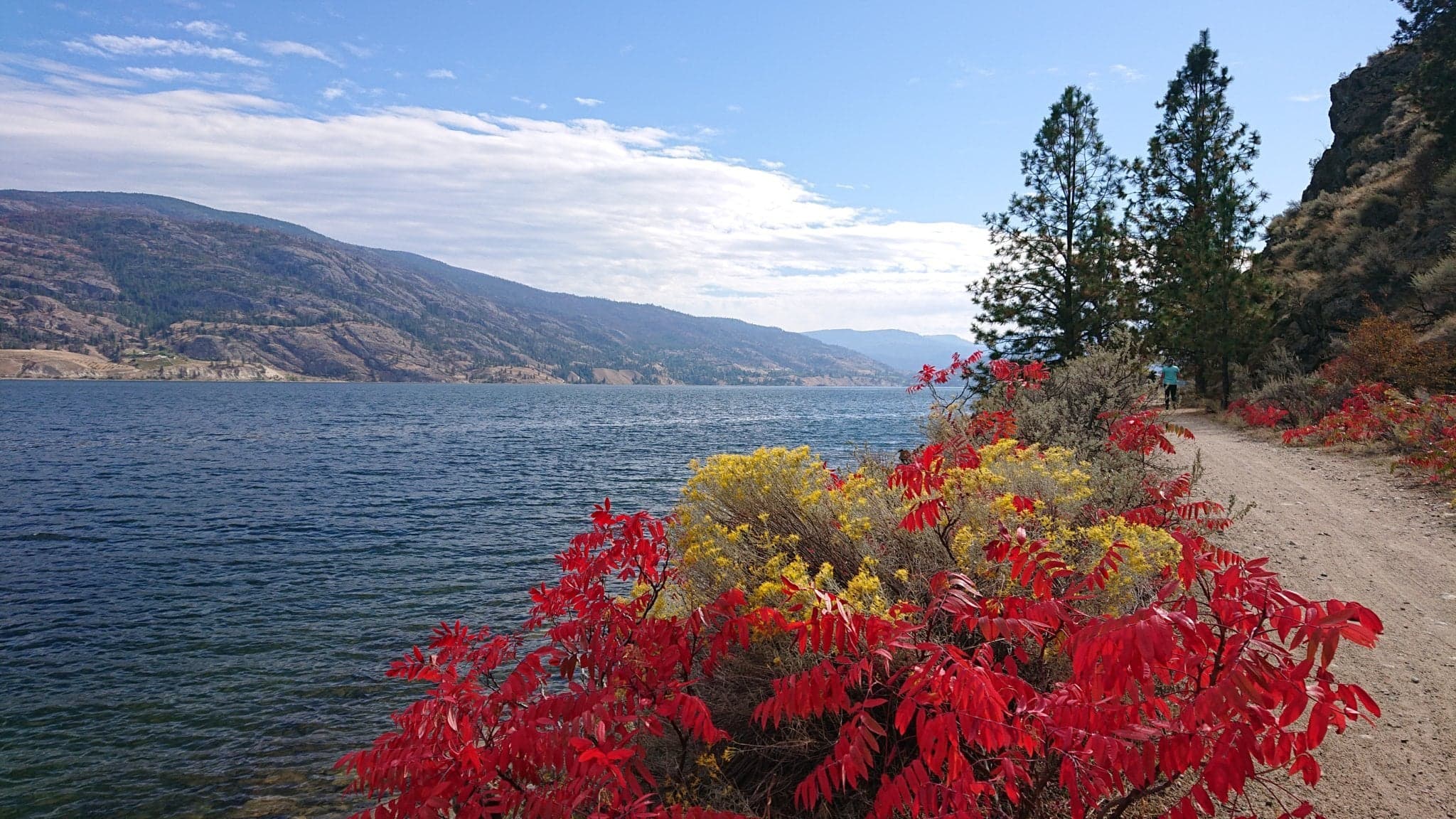
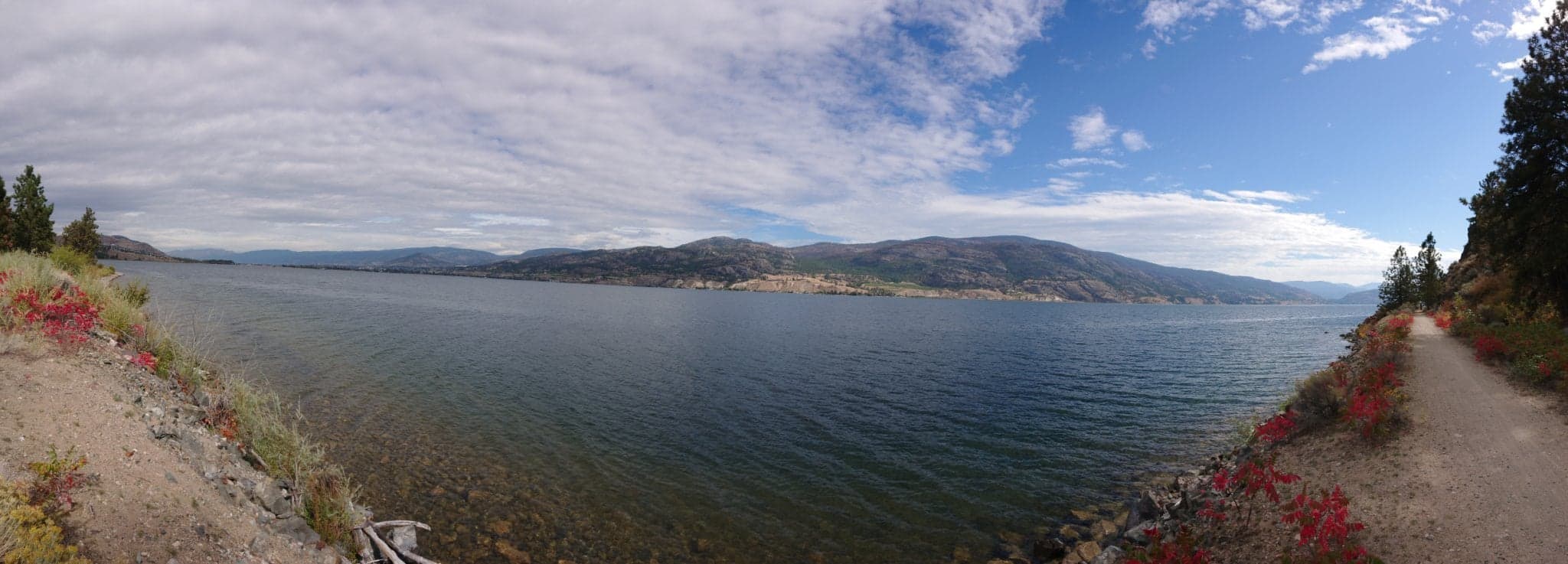
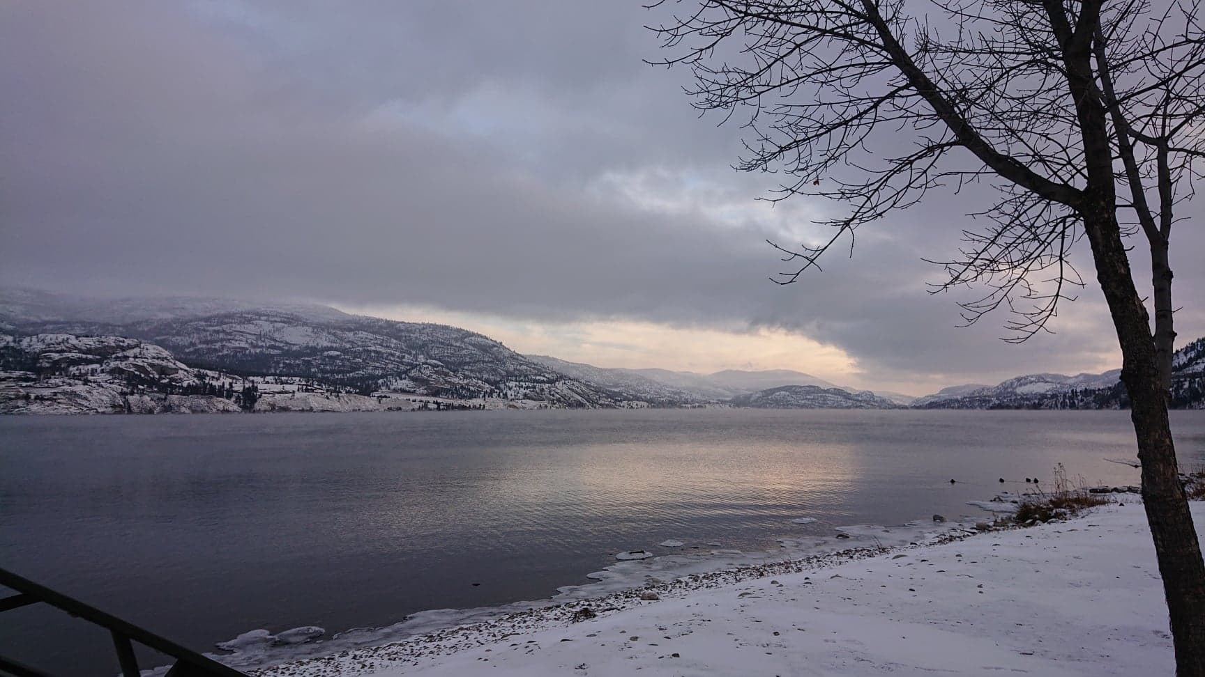
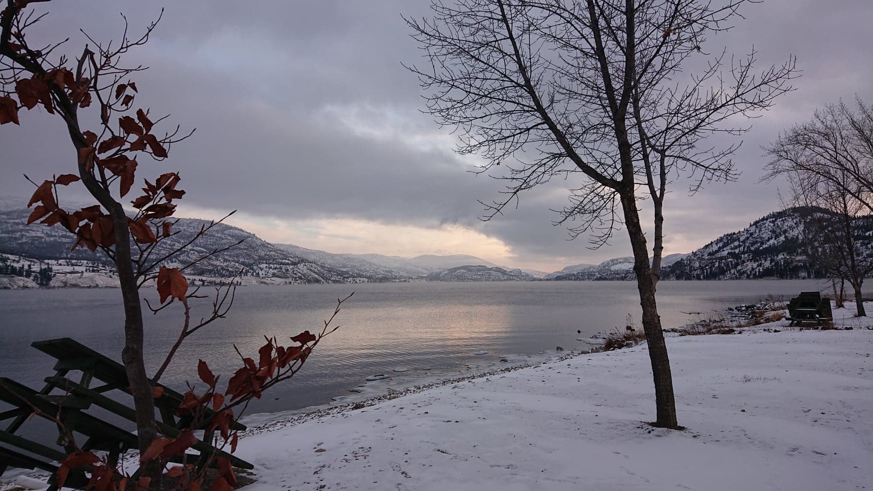
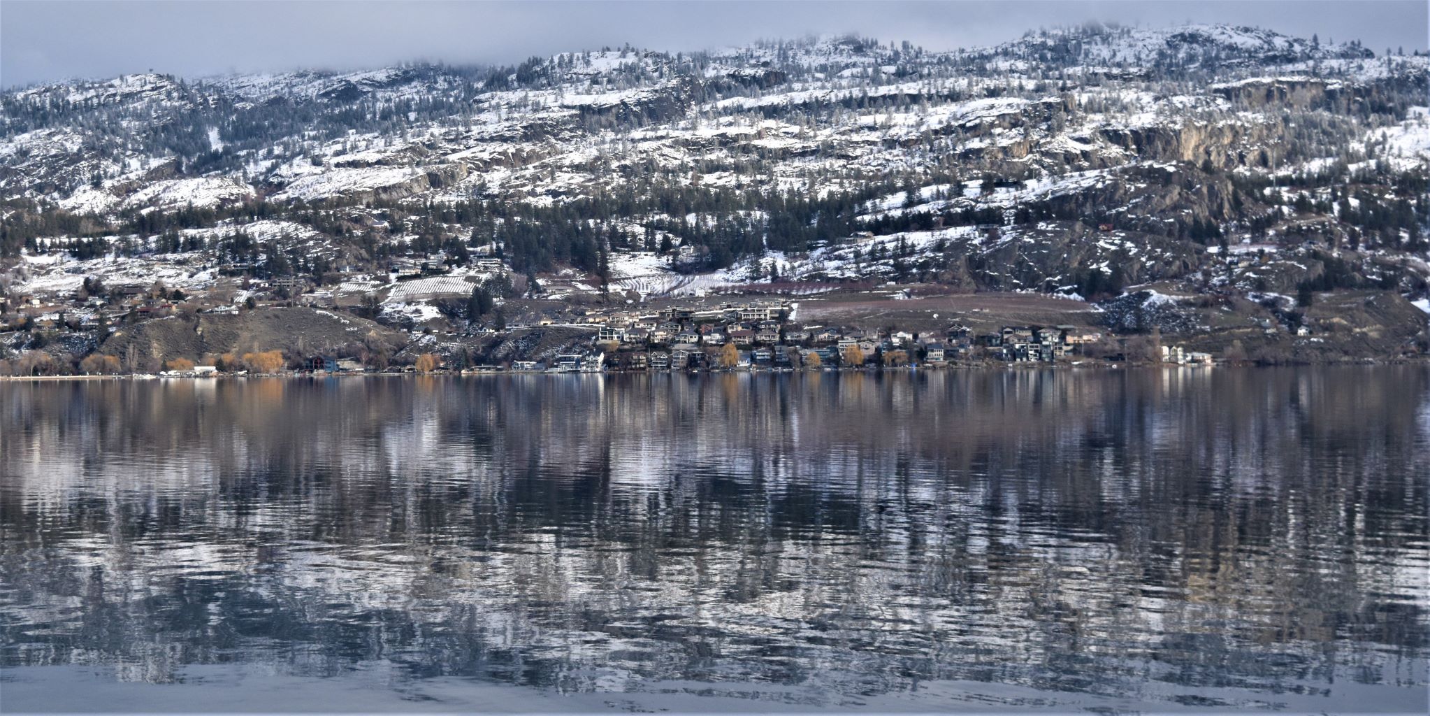
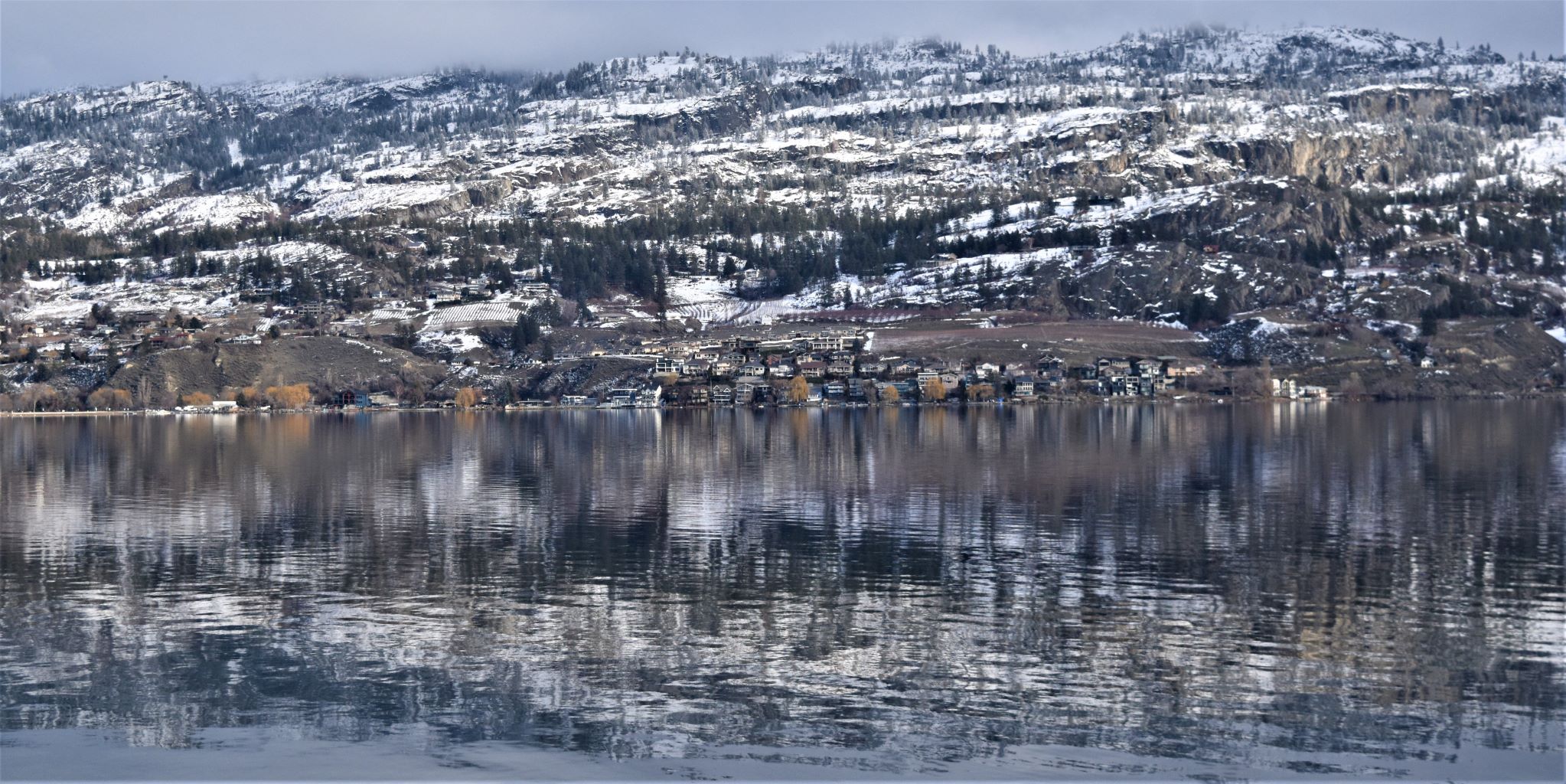
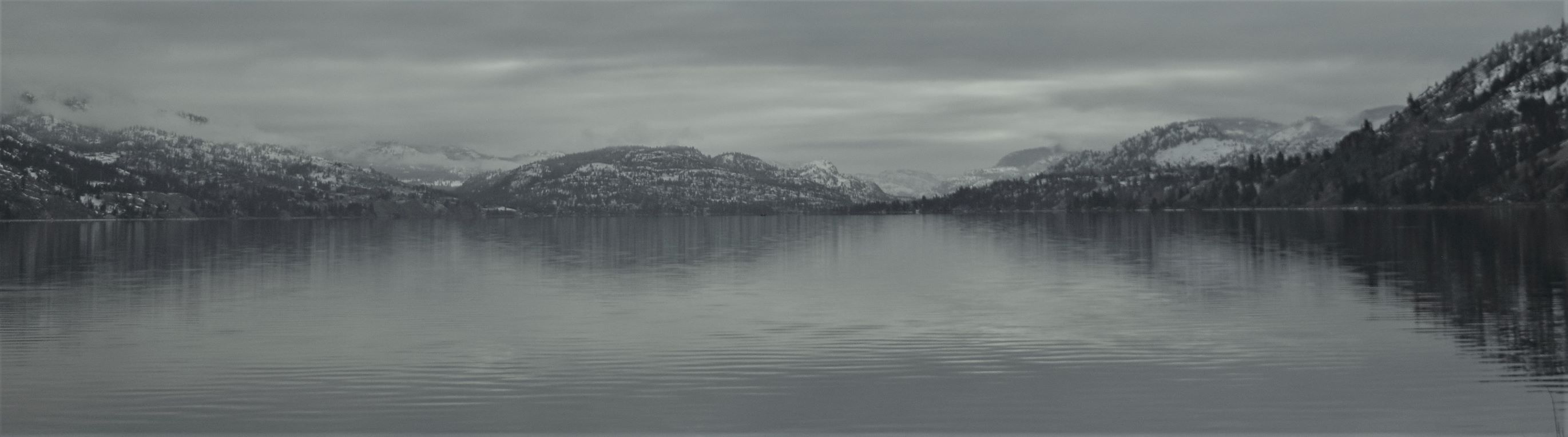
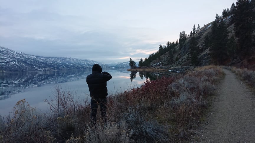
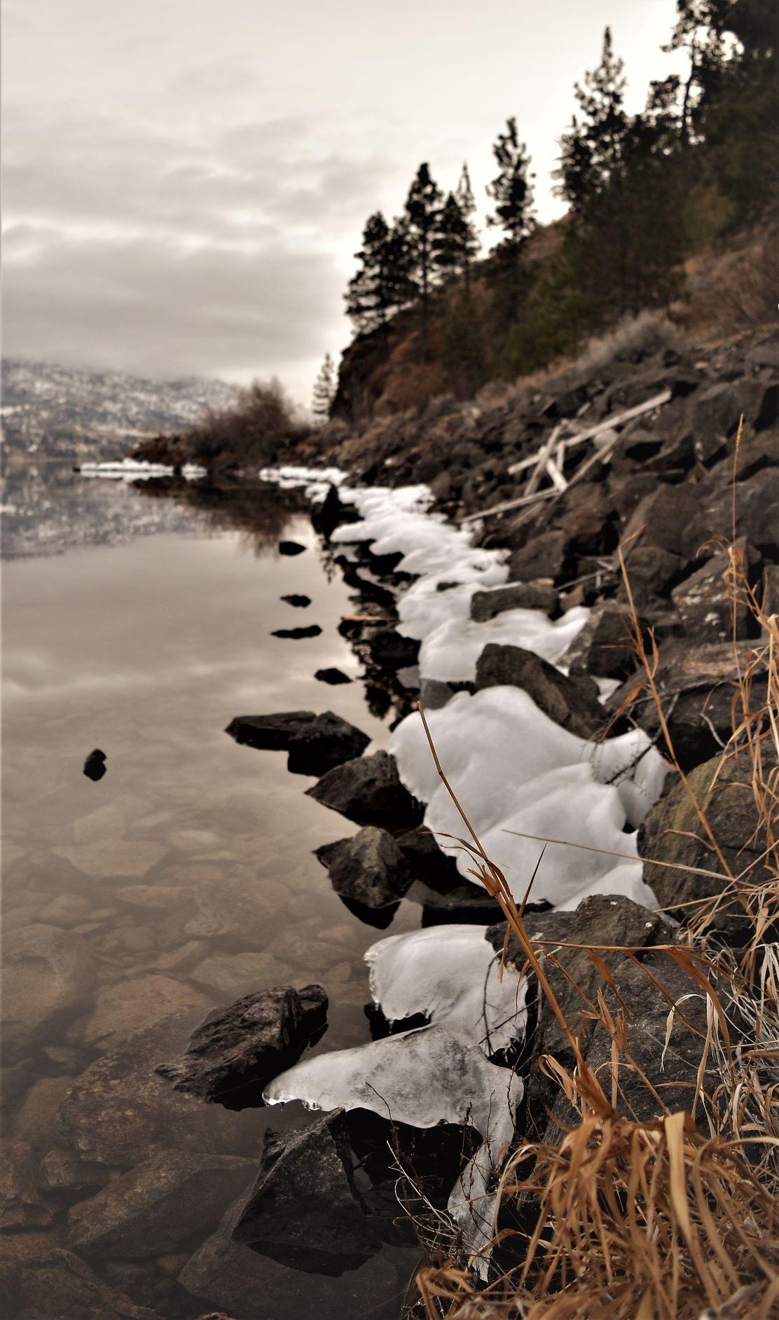
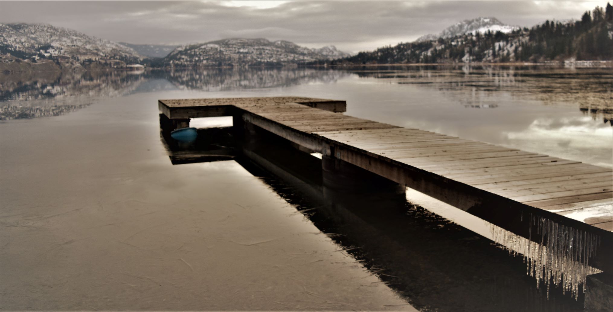
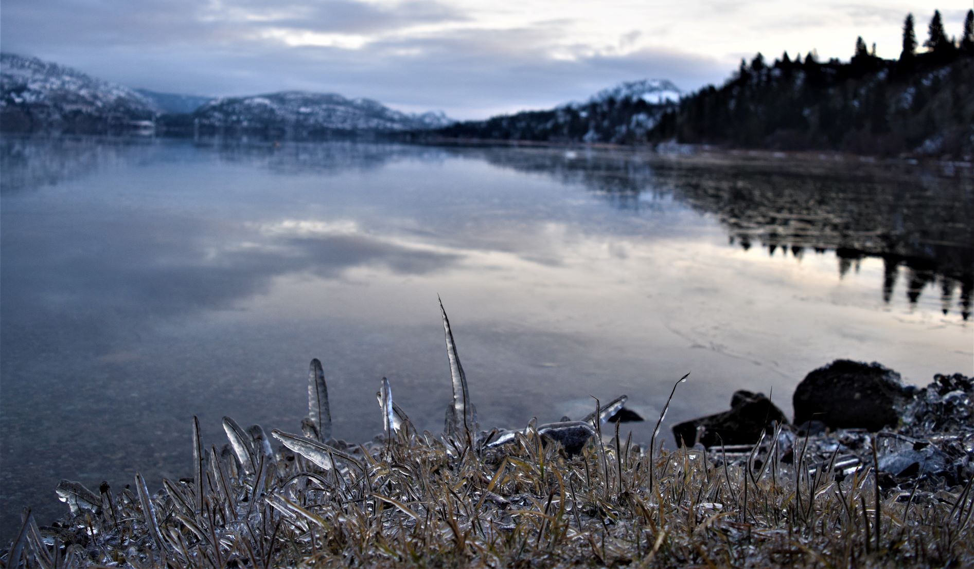
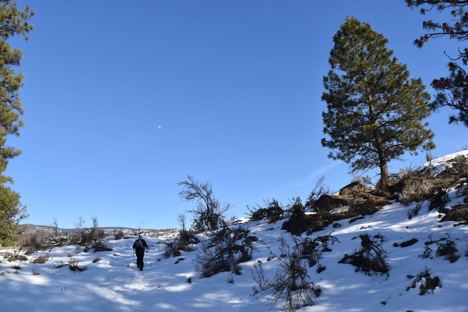
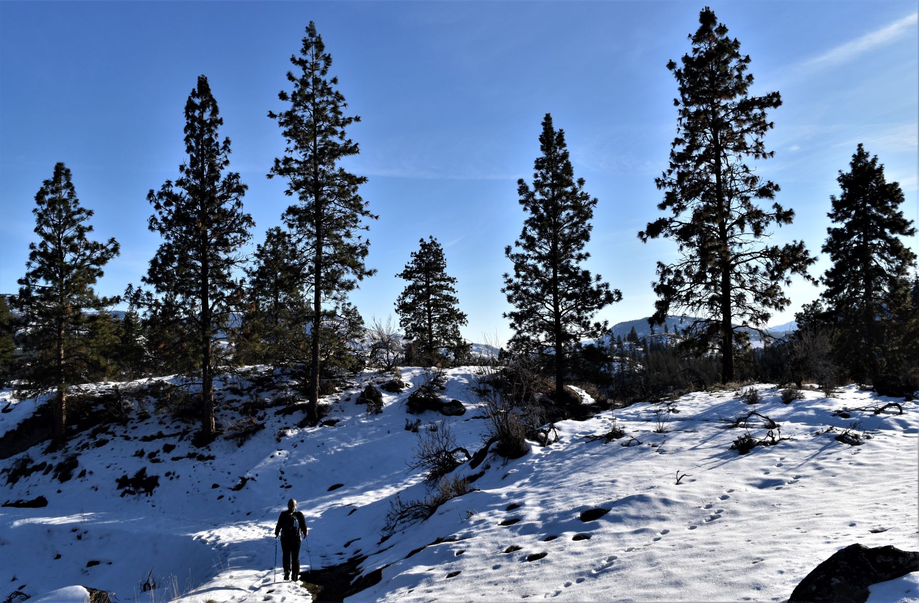
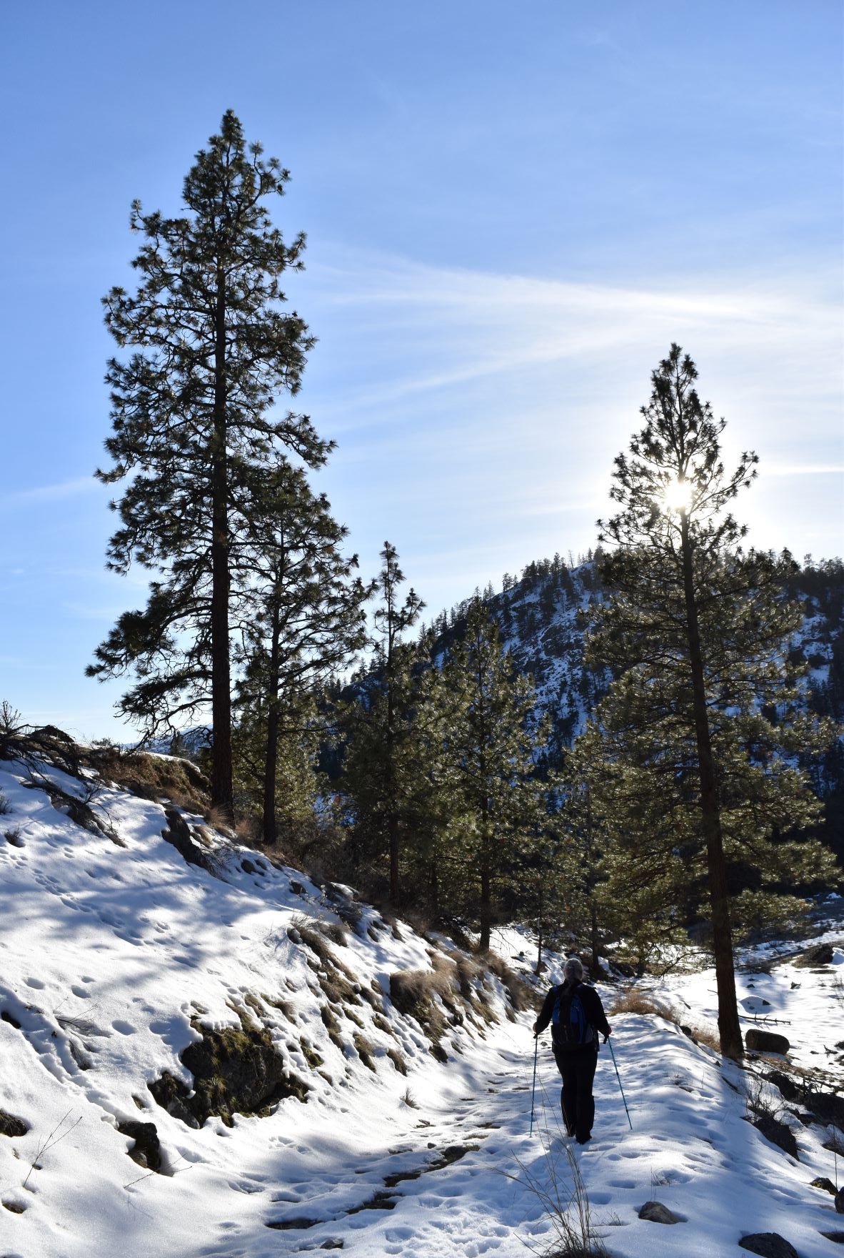
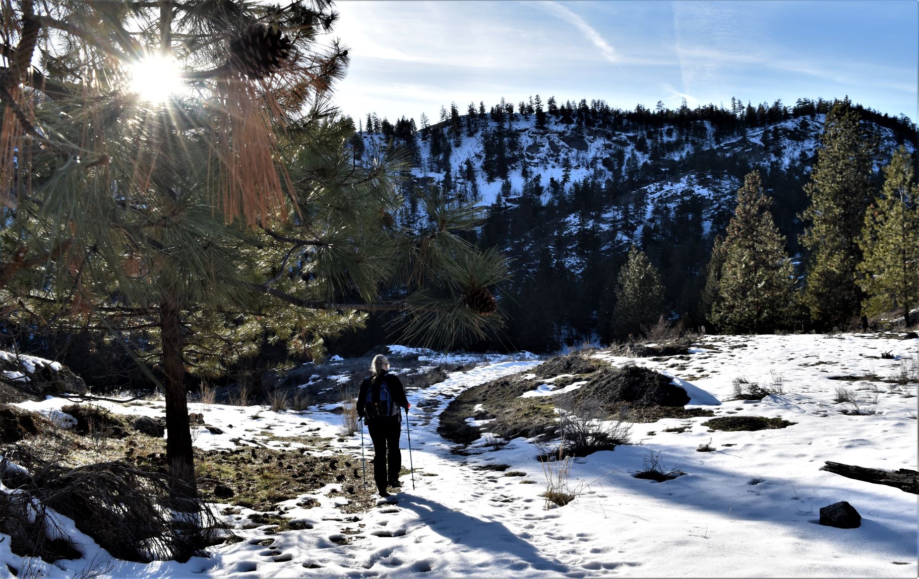
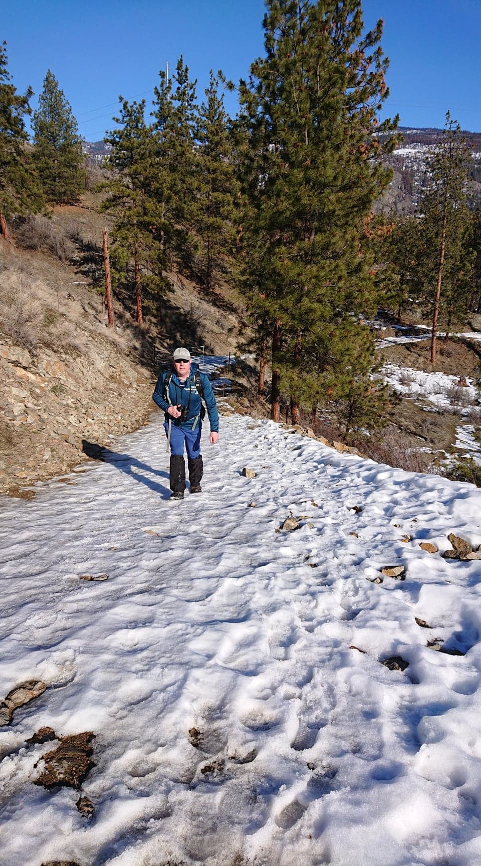
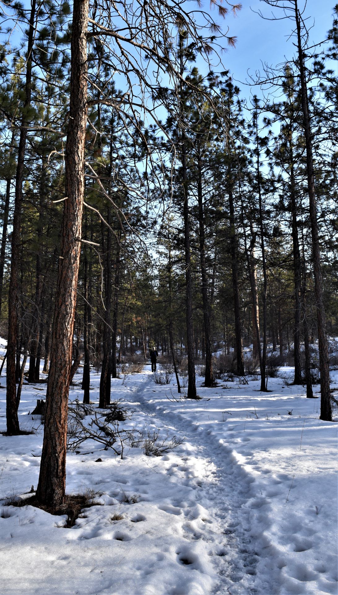
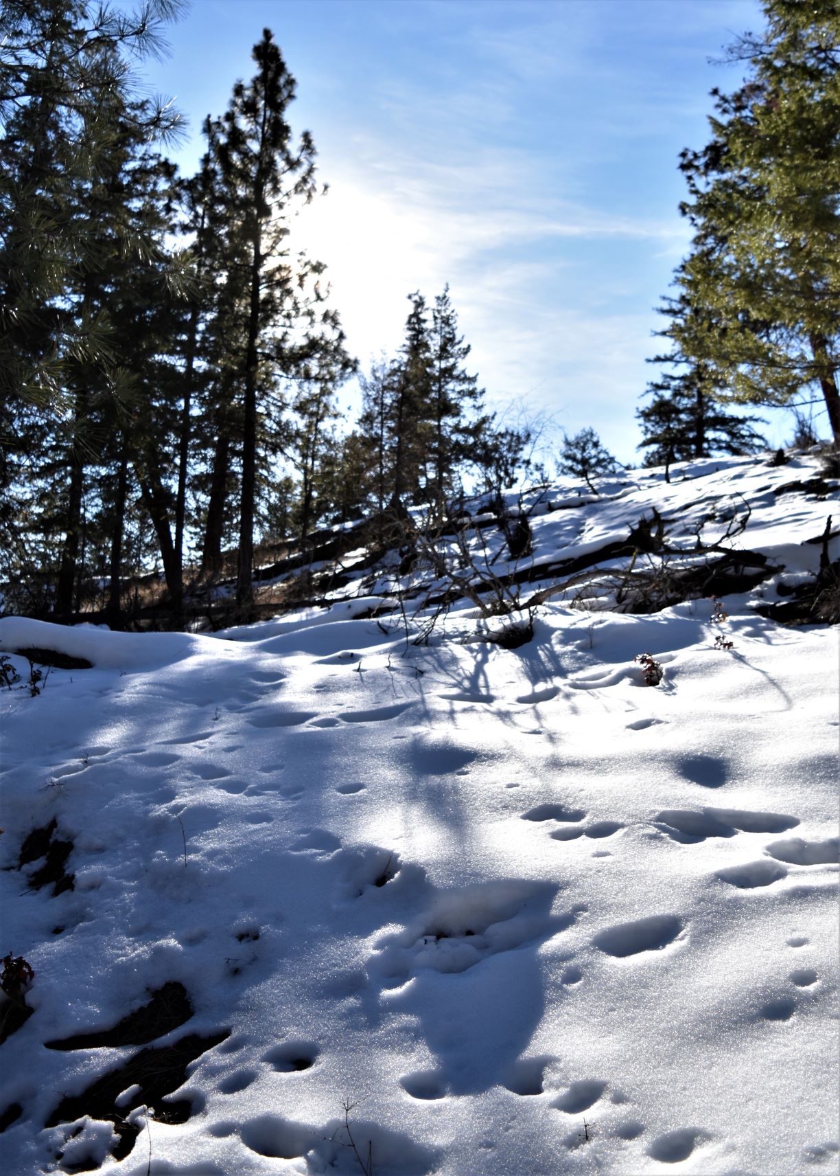
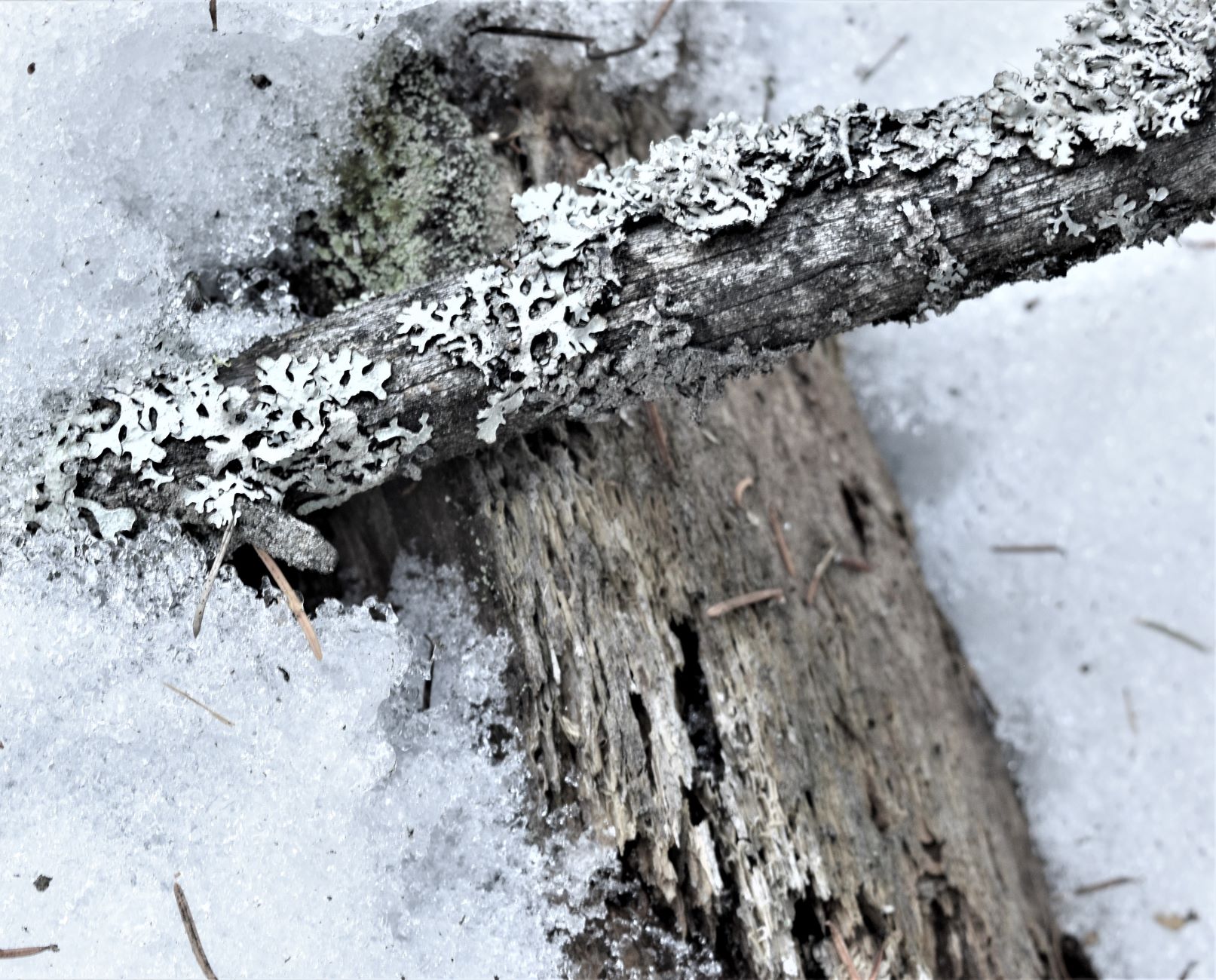
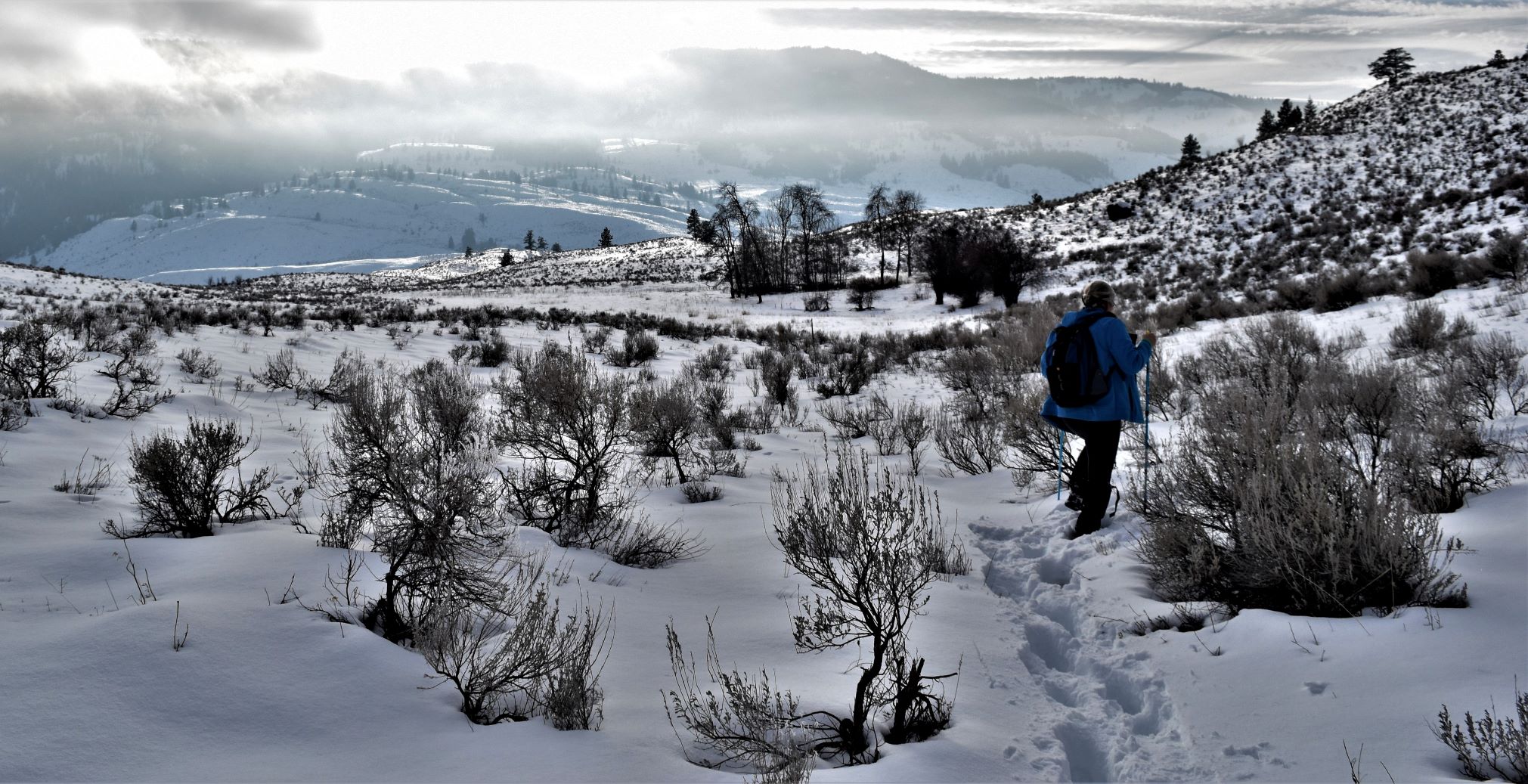
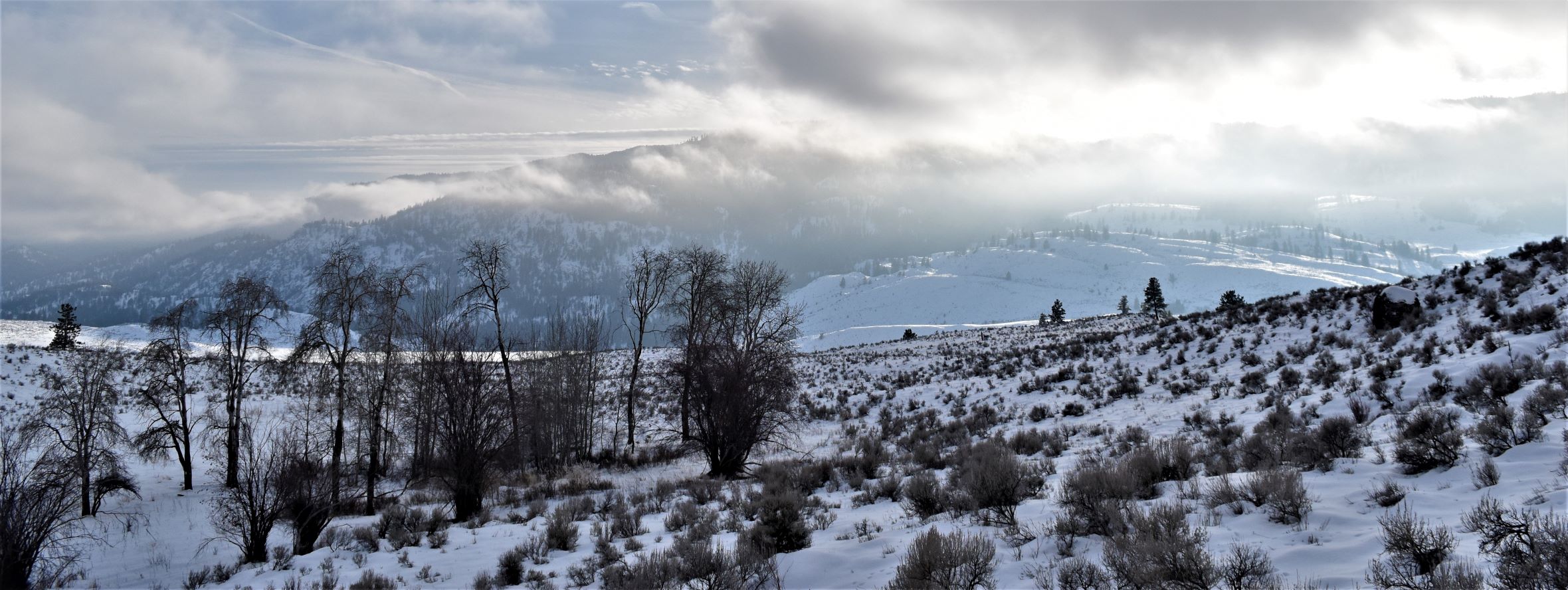
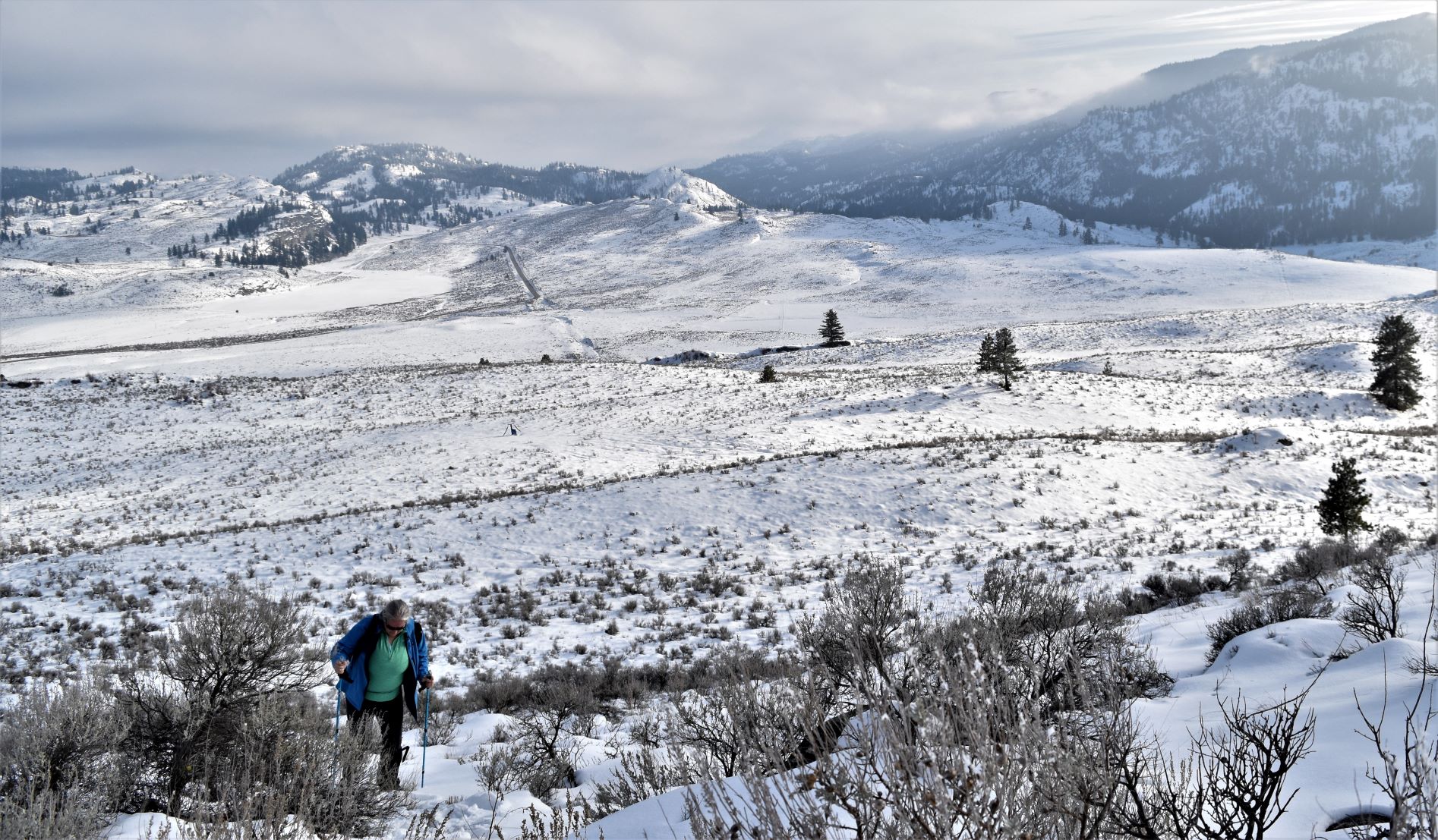
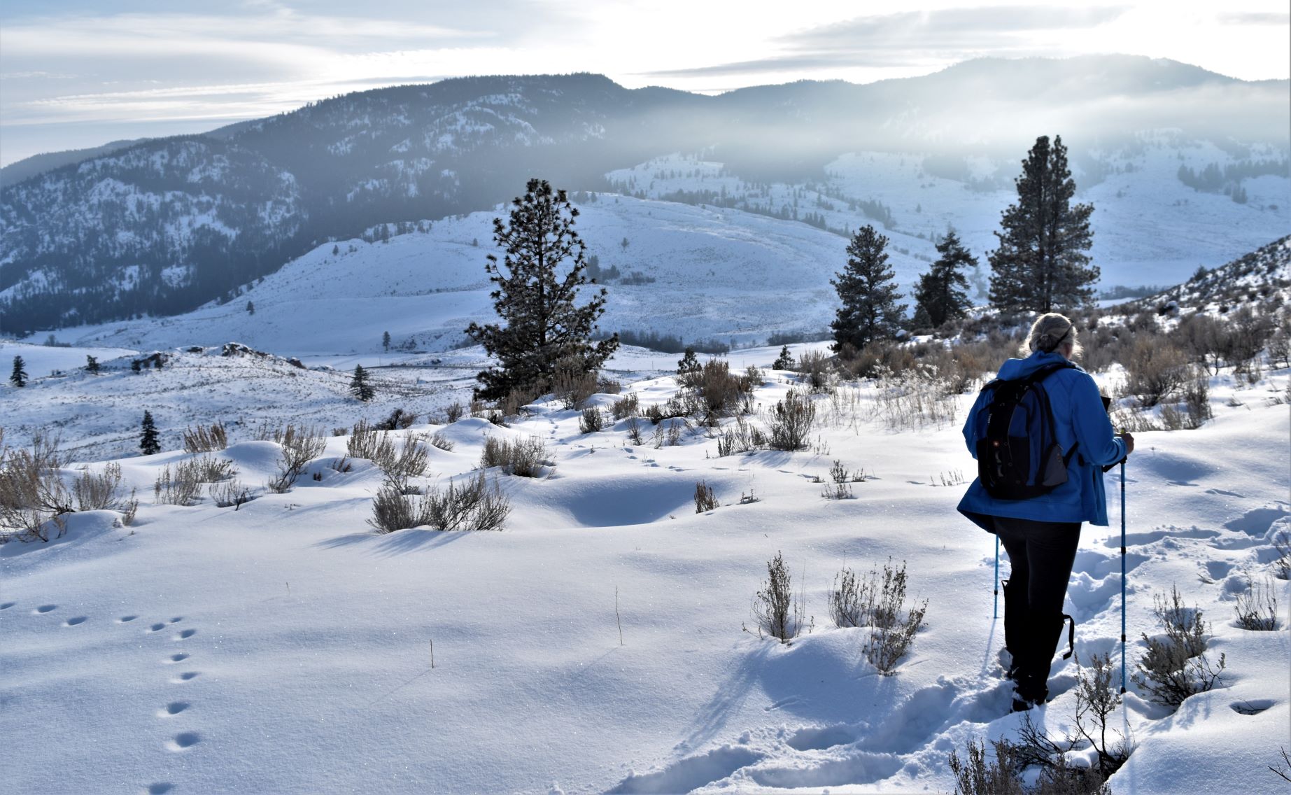
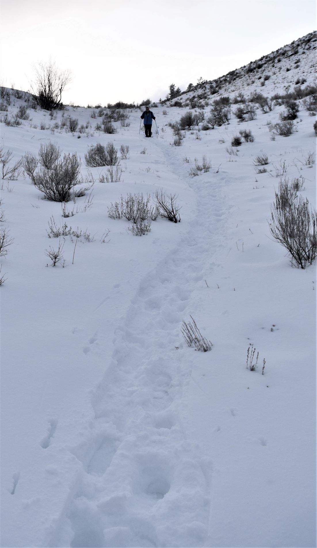
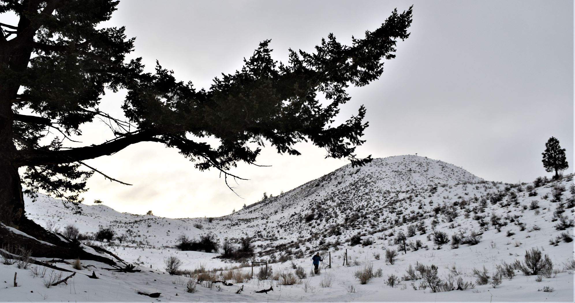
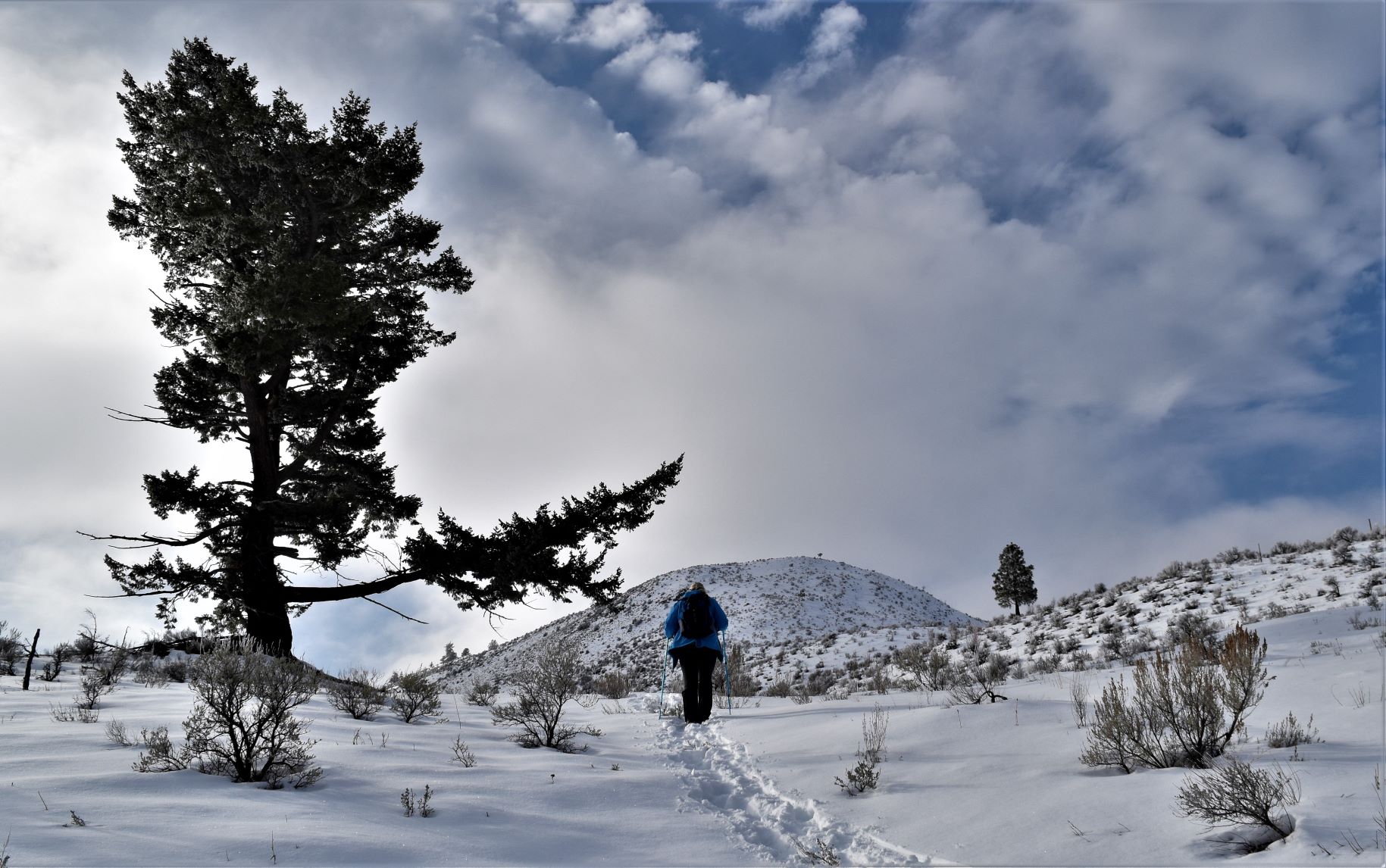
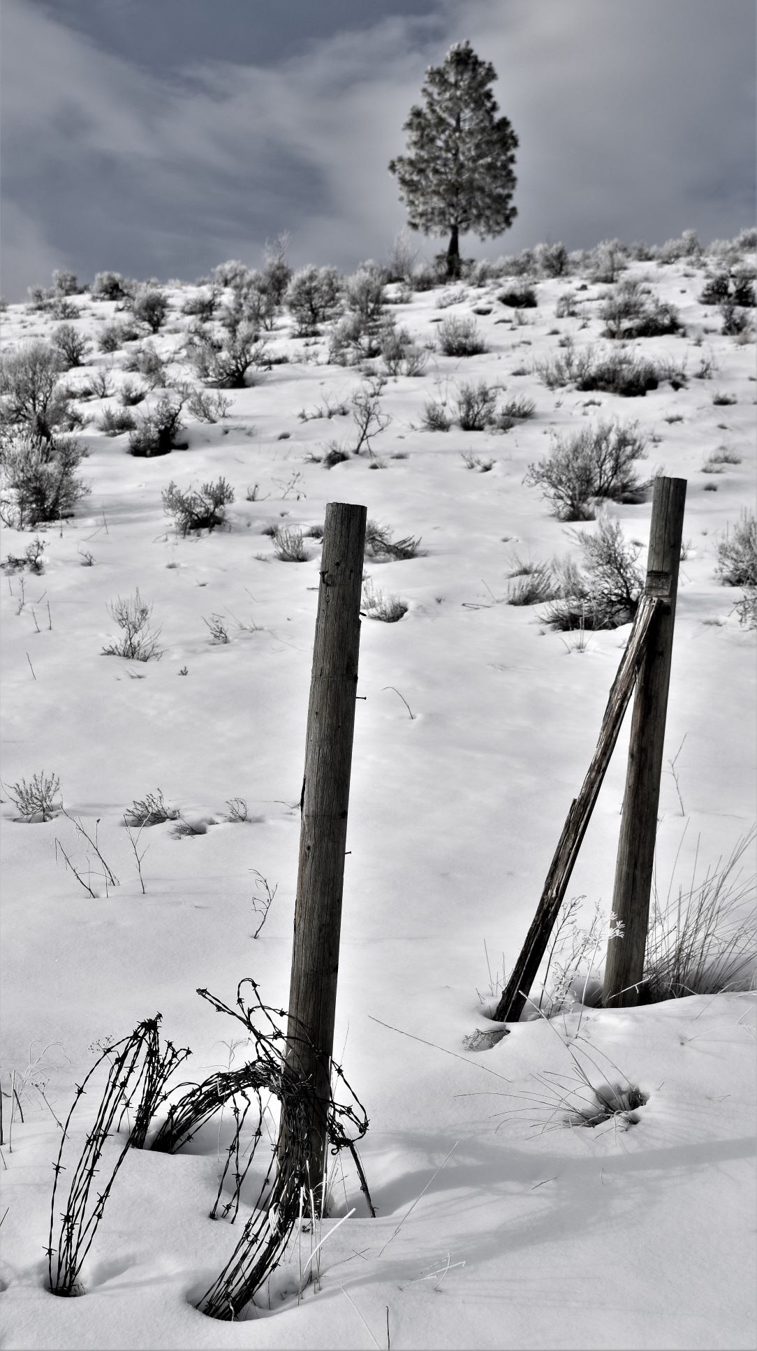
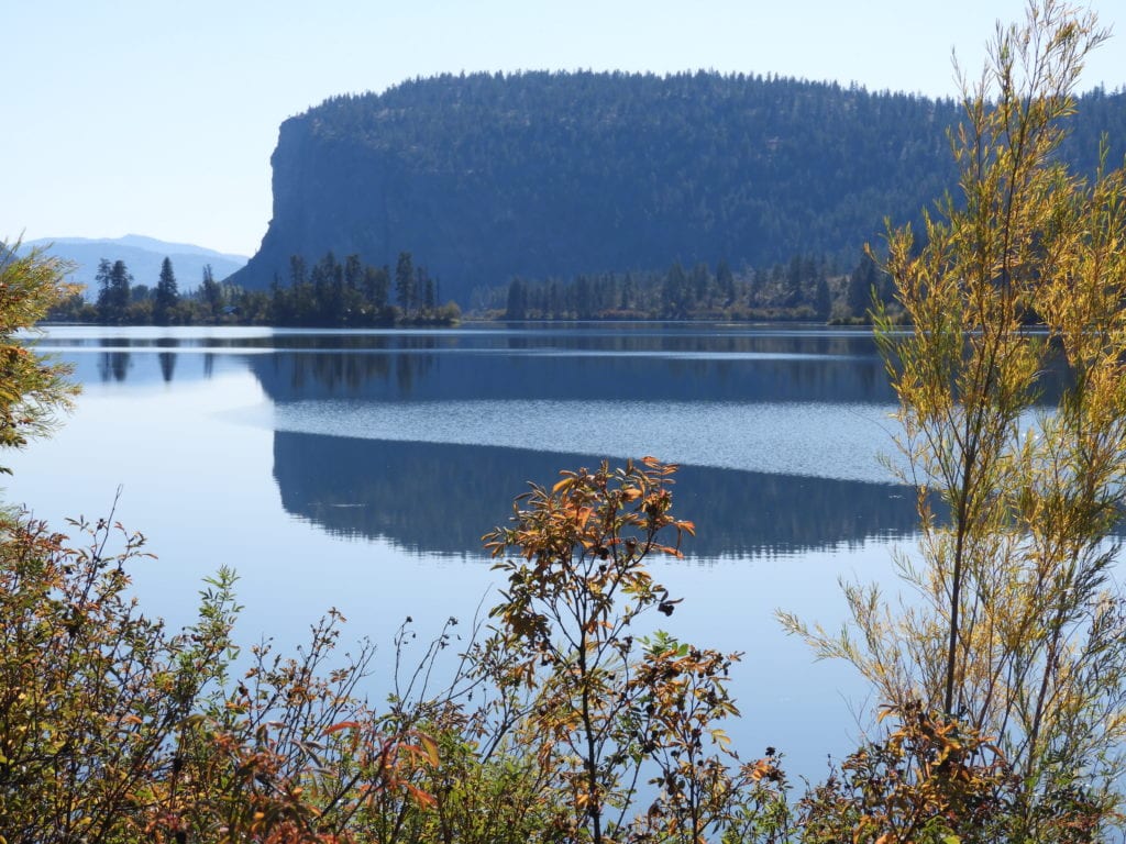
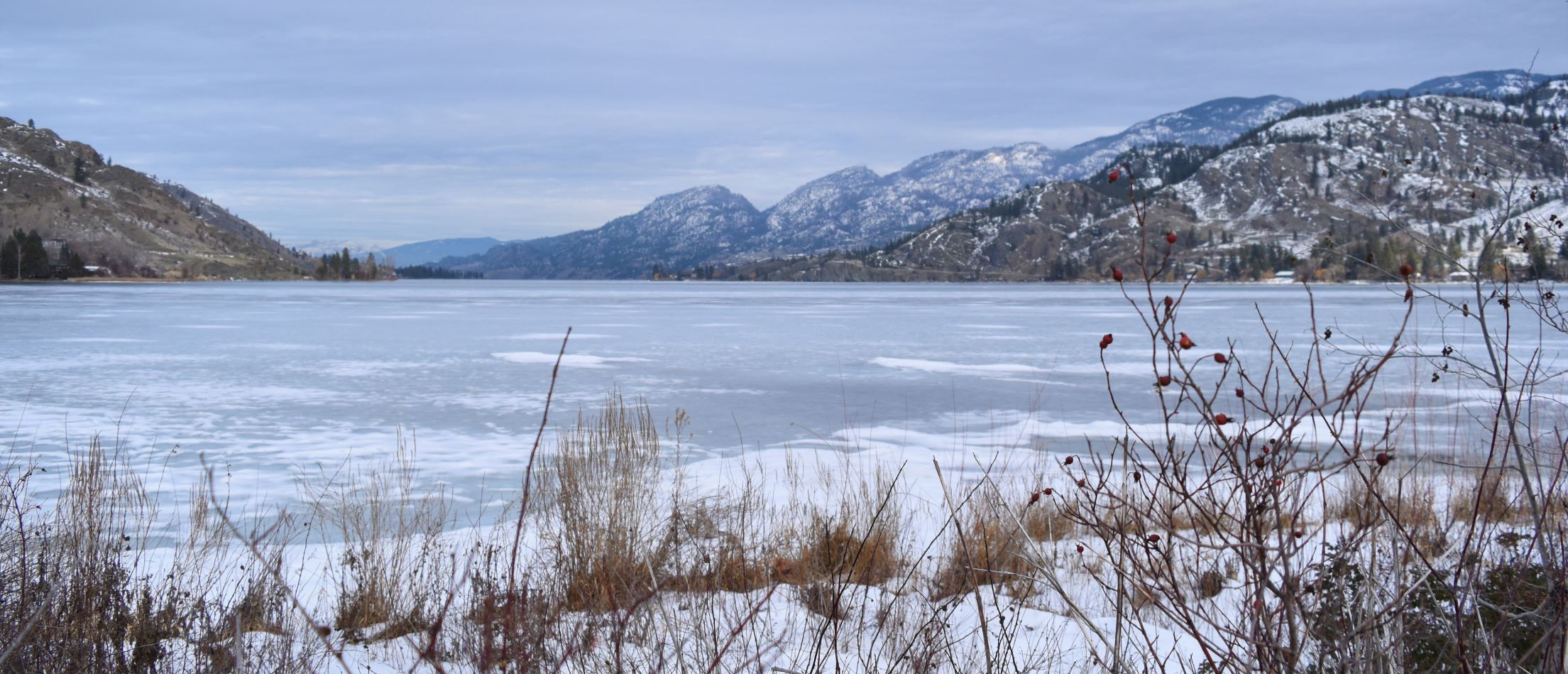
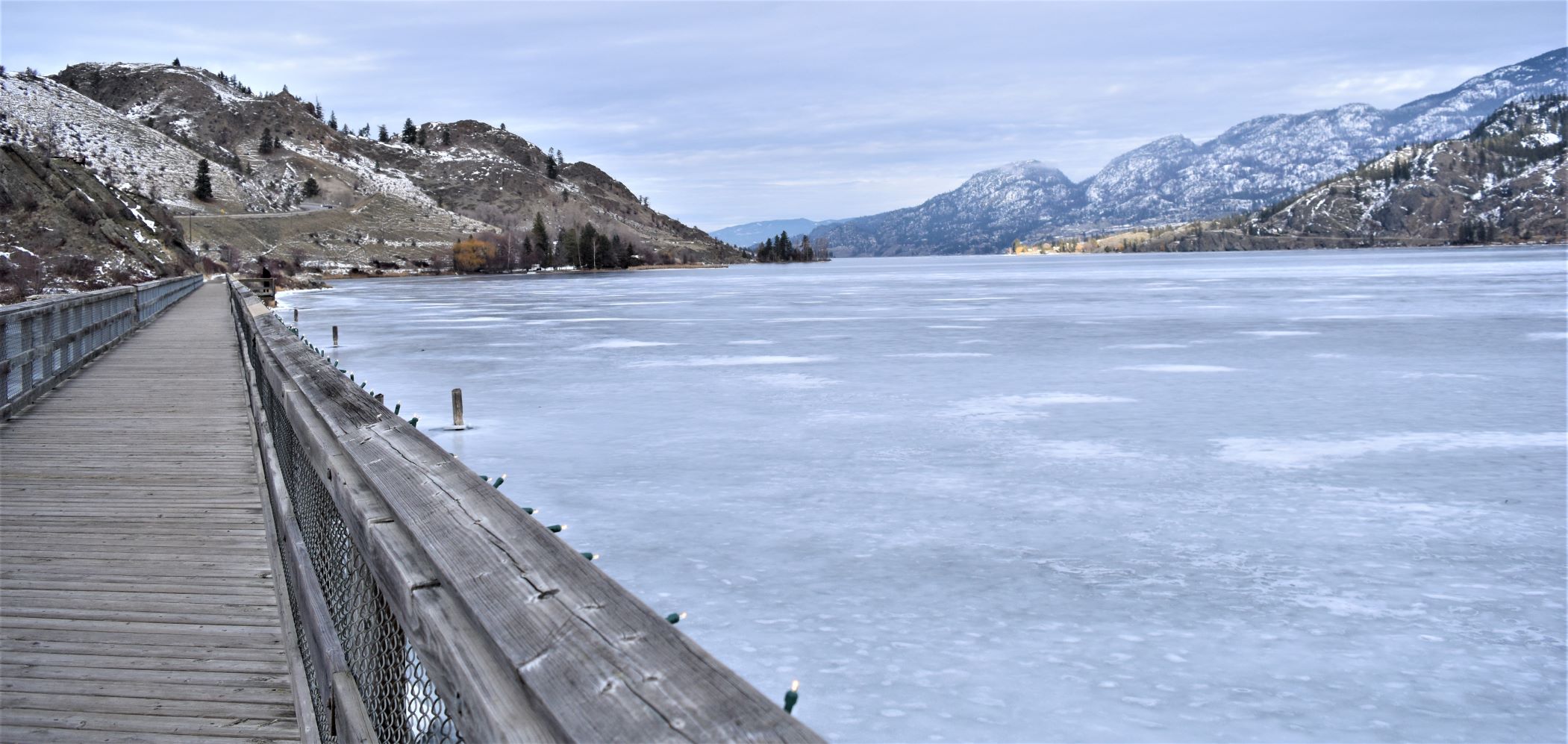
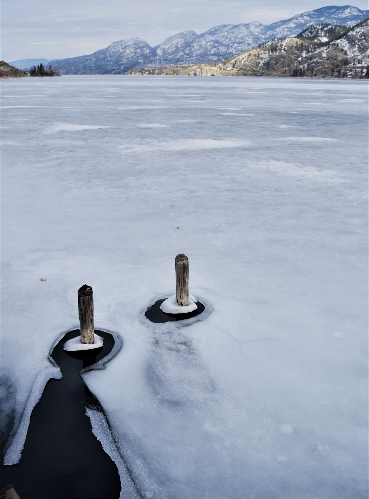
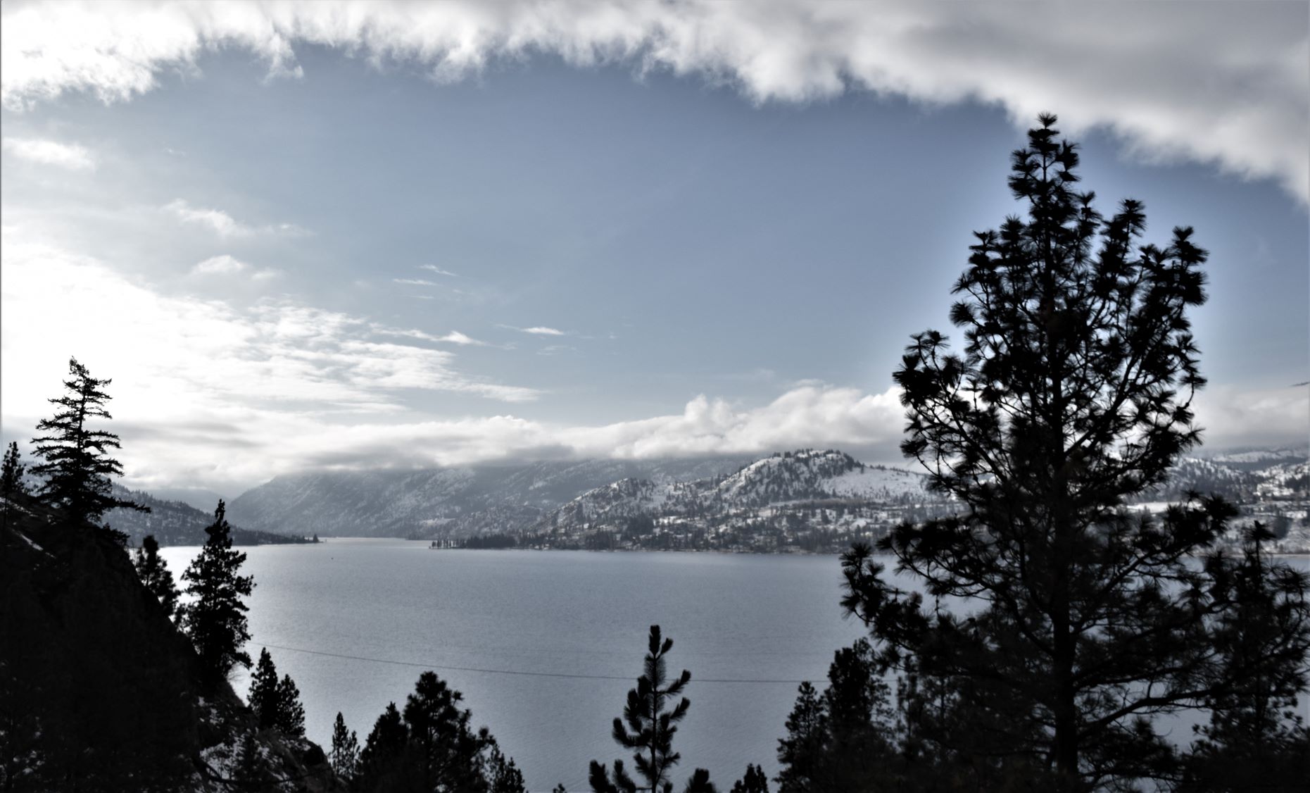
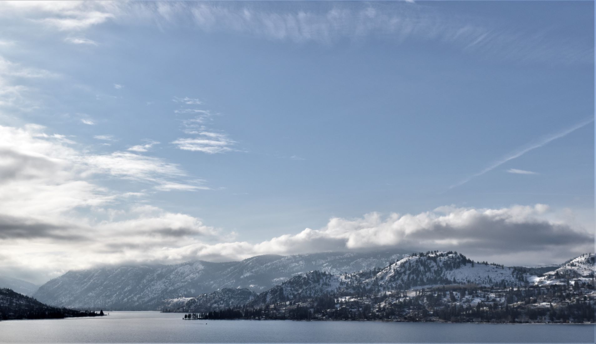
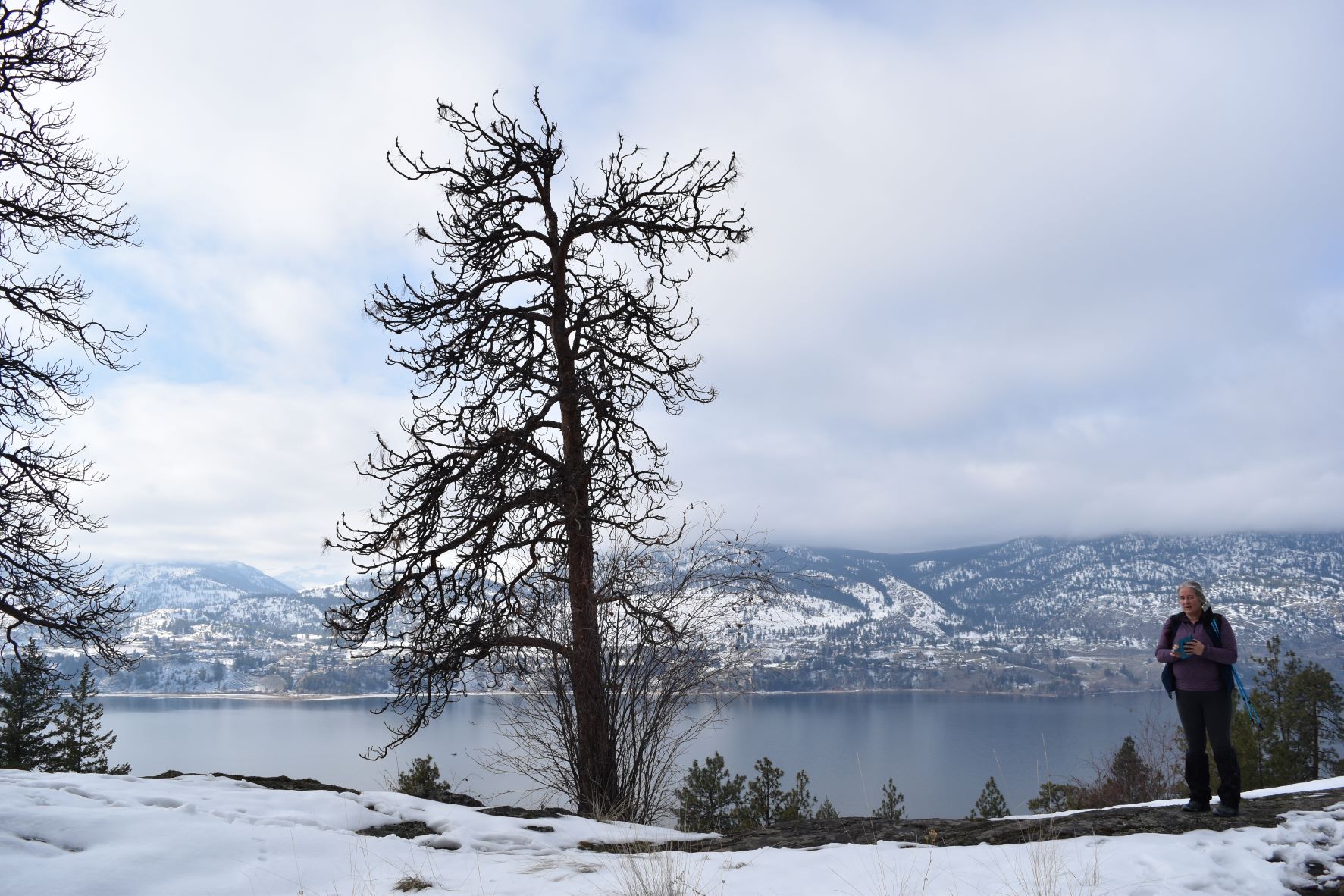
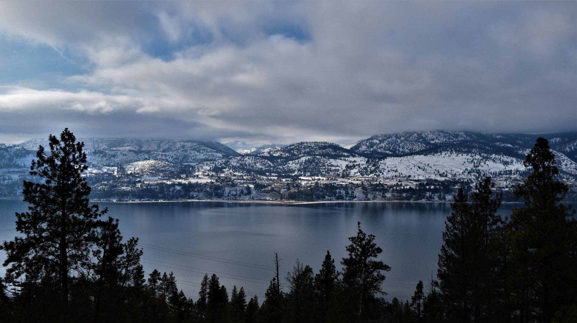
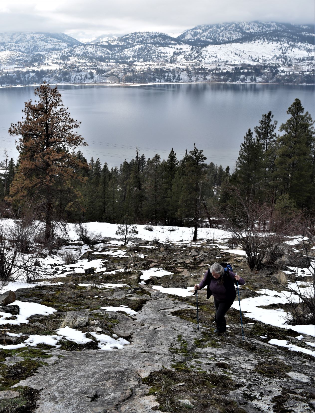
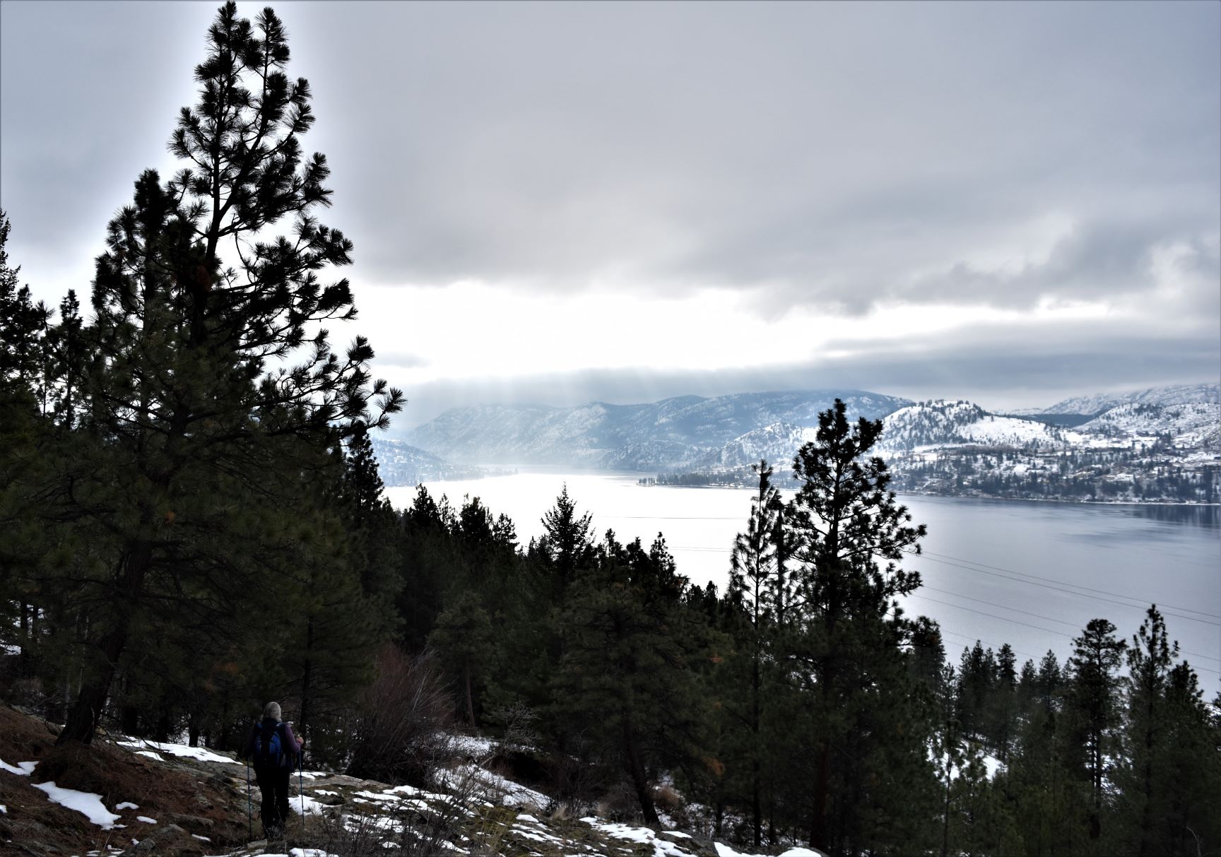
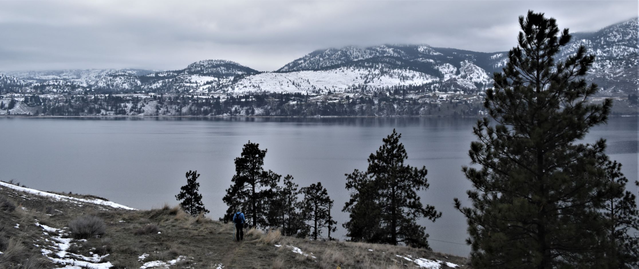
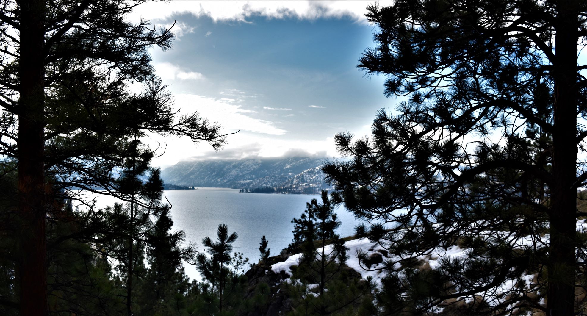
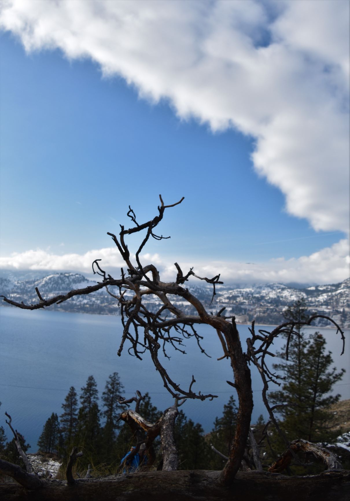
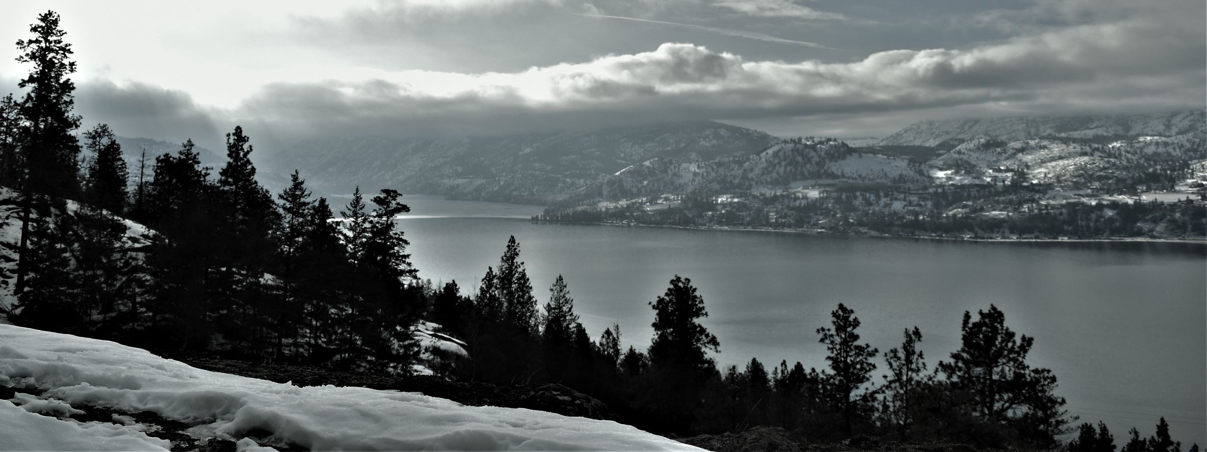
Summerland above and below.

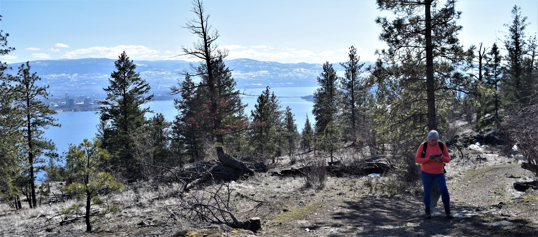
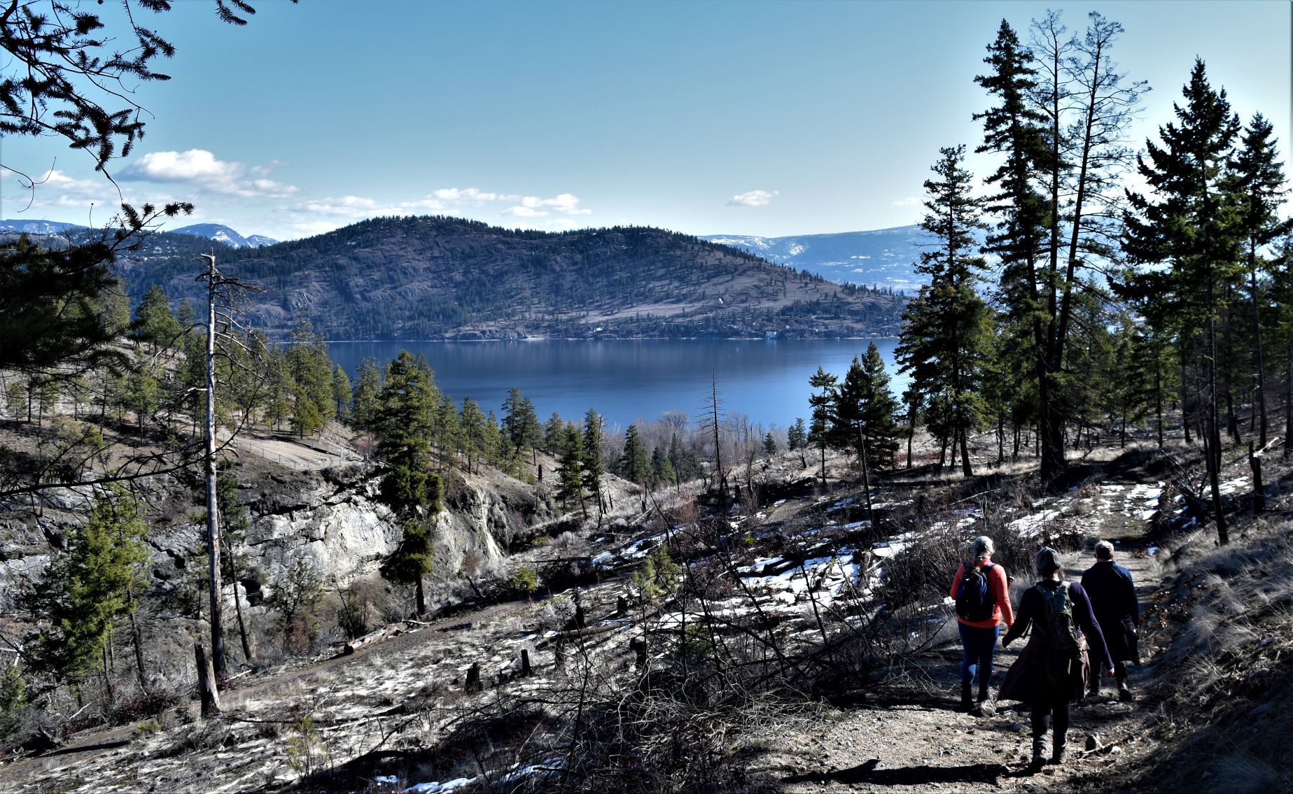
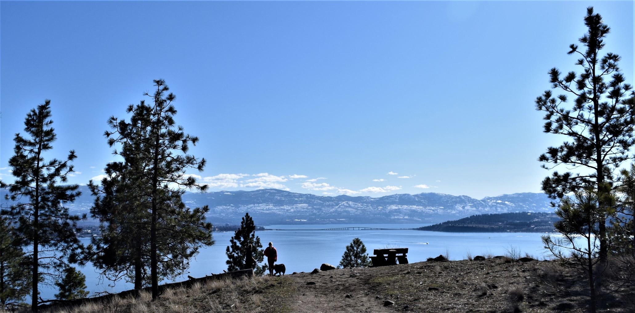
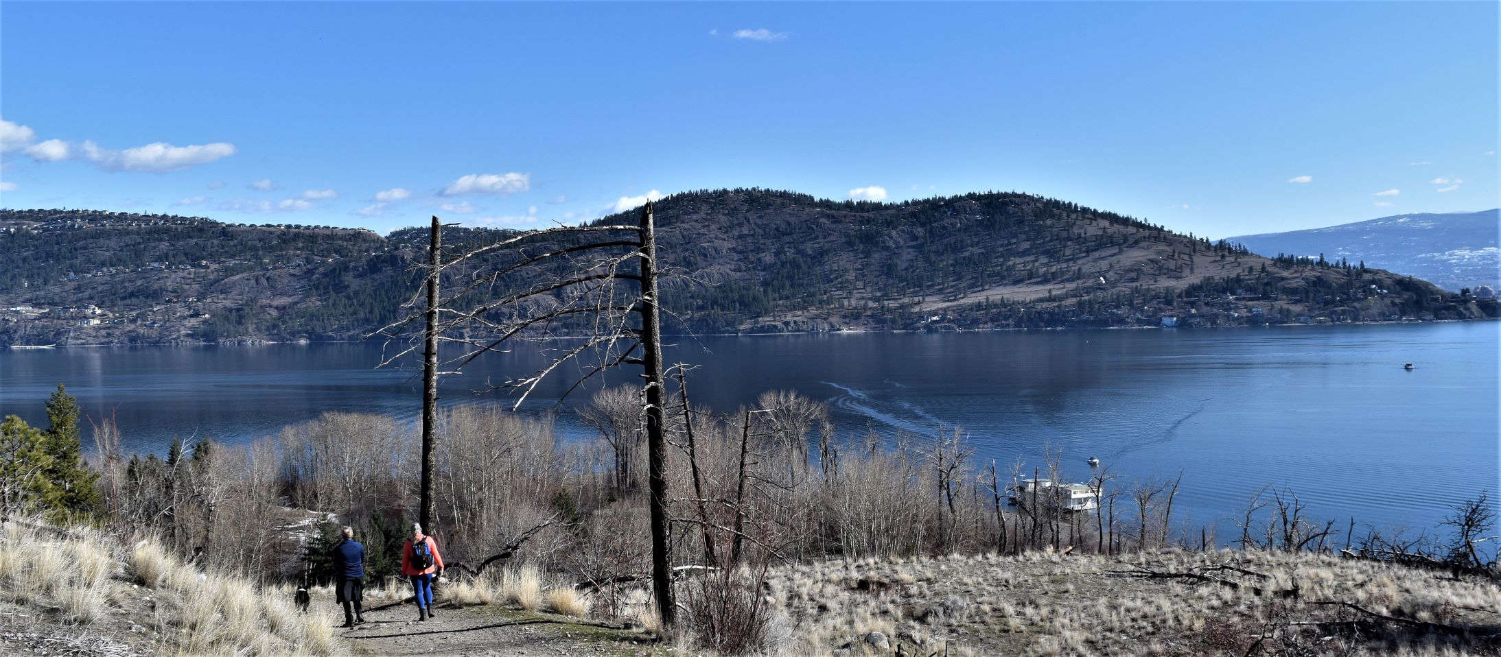
This is a collection of days out. We had approached the same area from three different angles on different days, so it seemed to make sense to put them together.

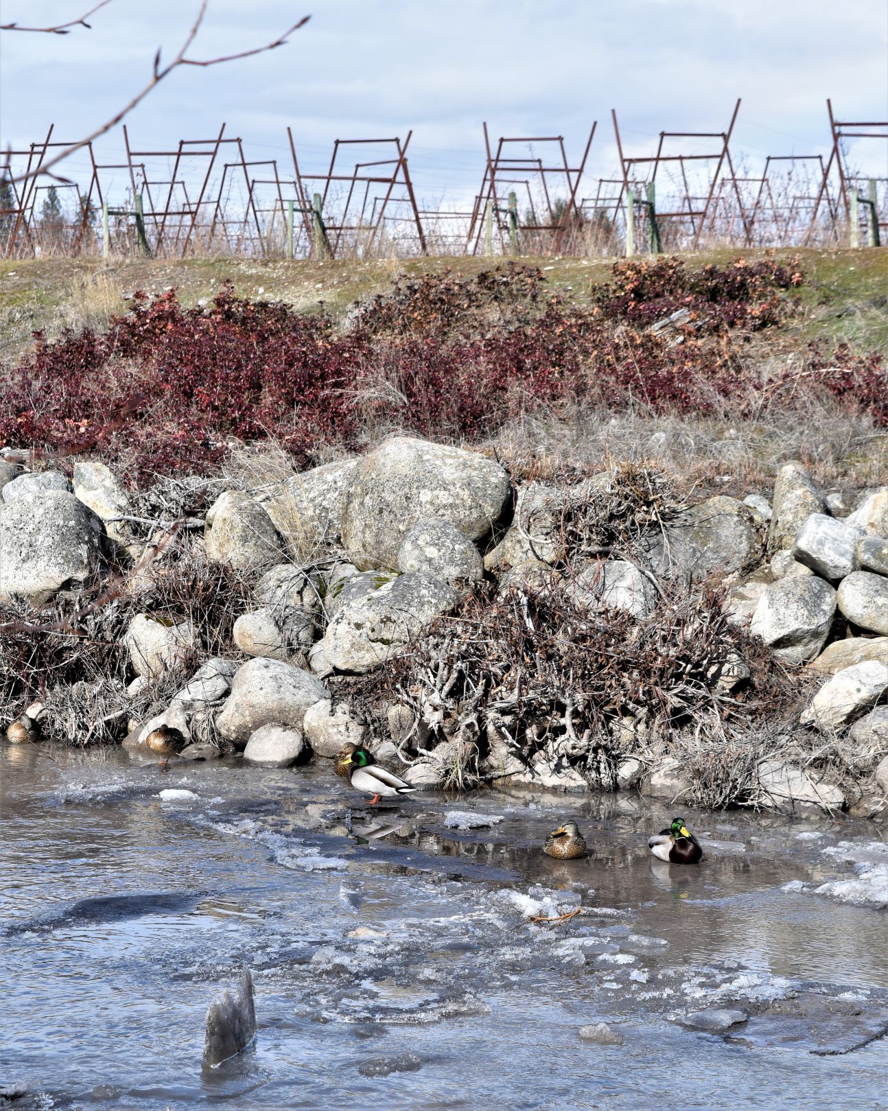
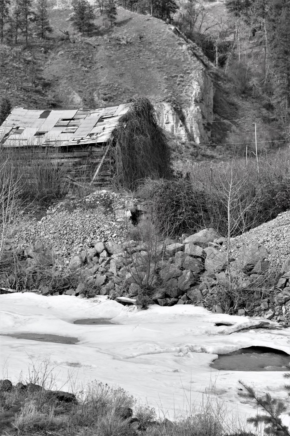
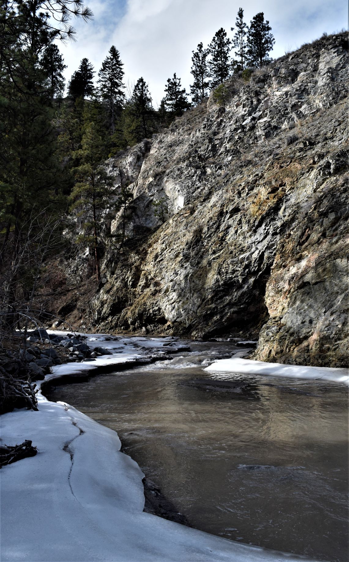
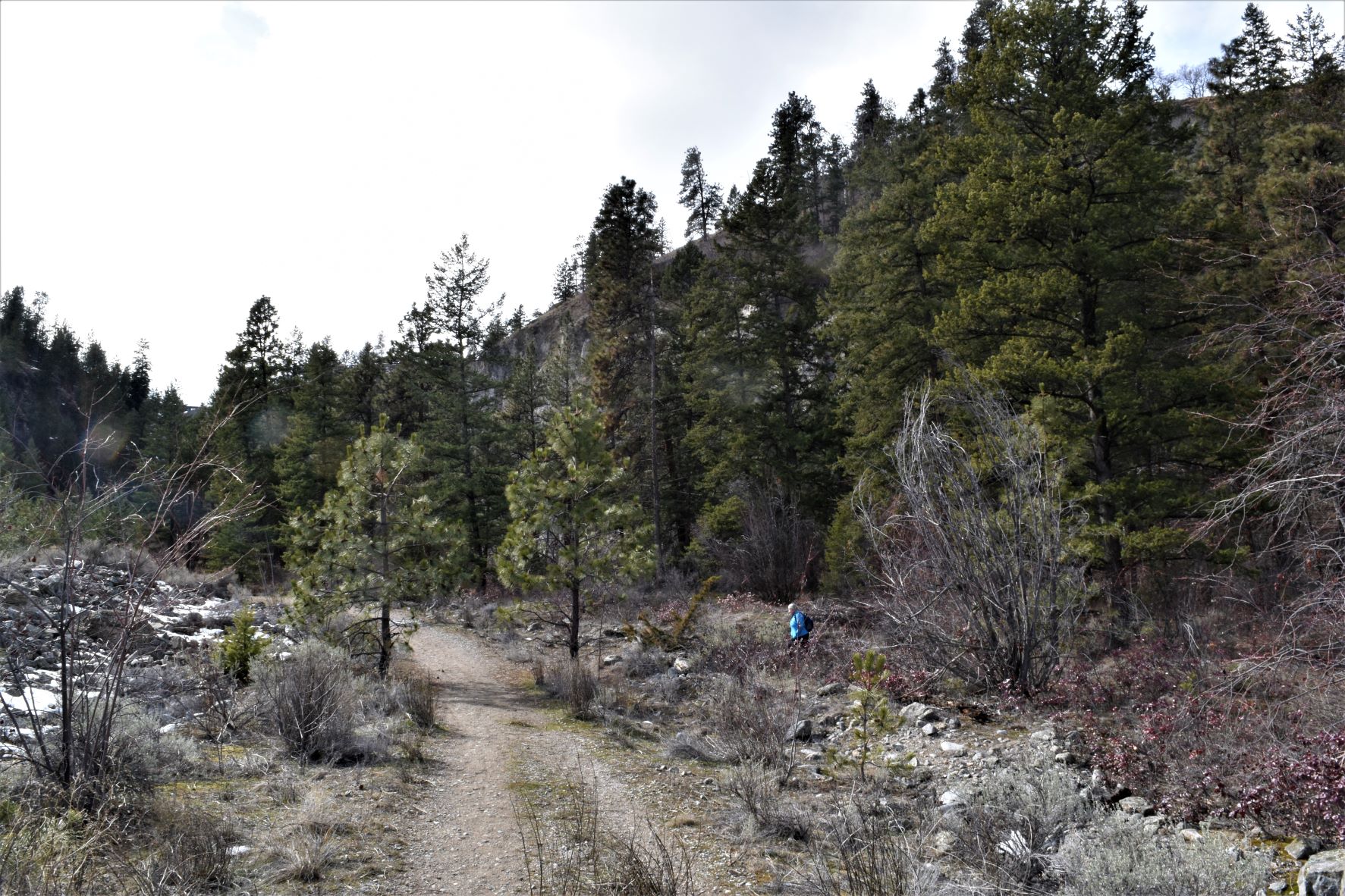
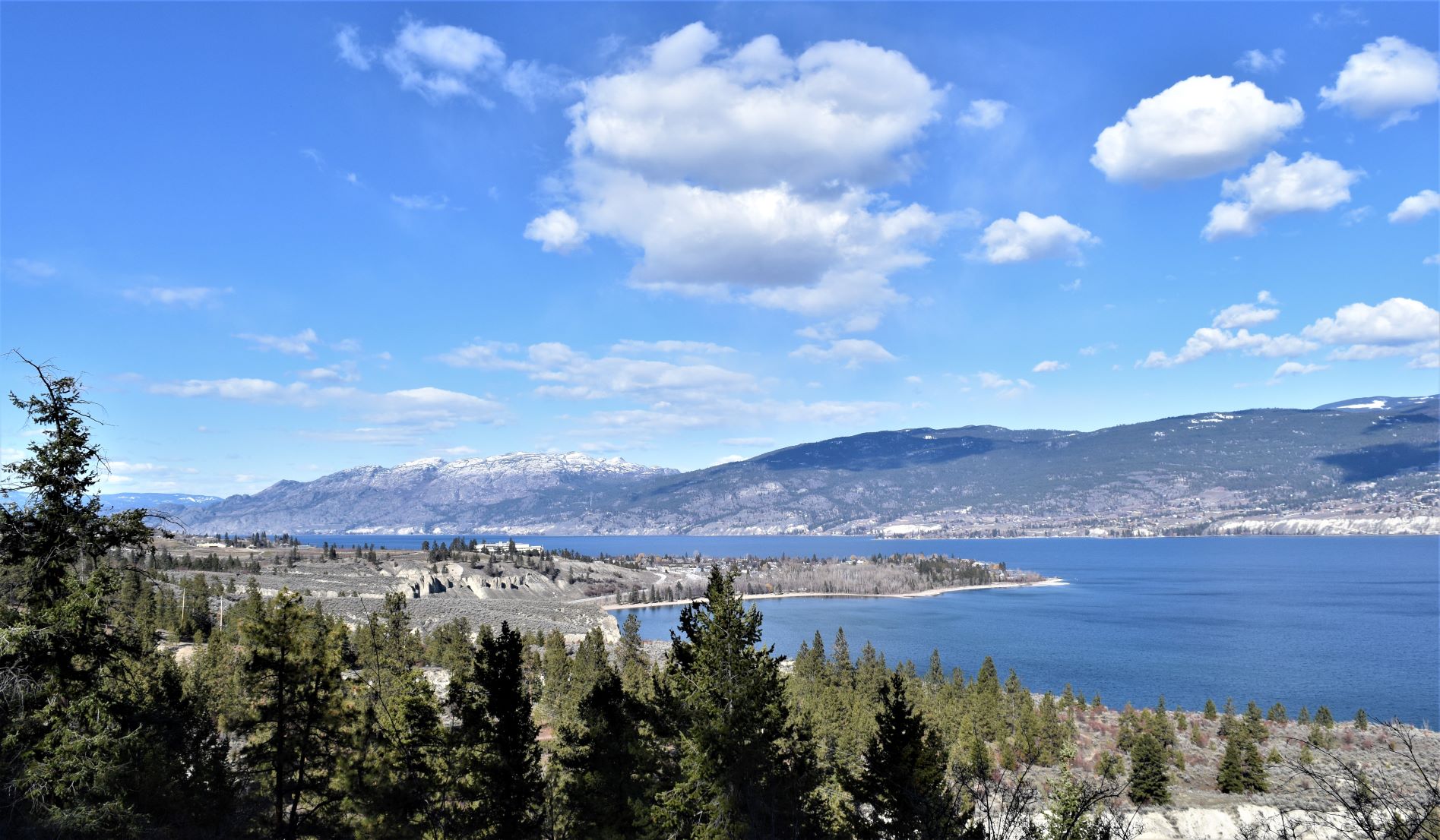
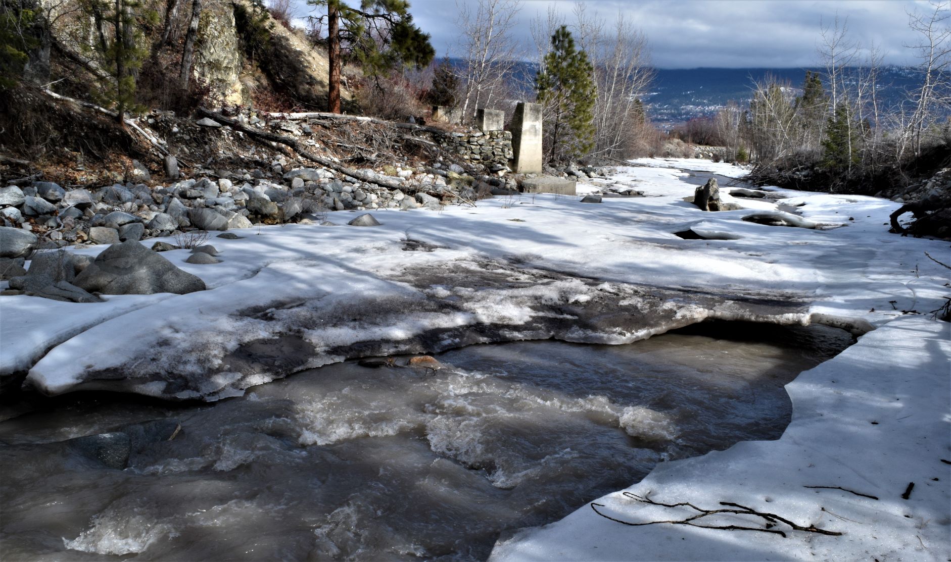
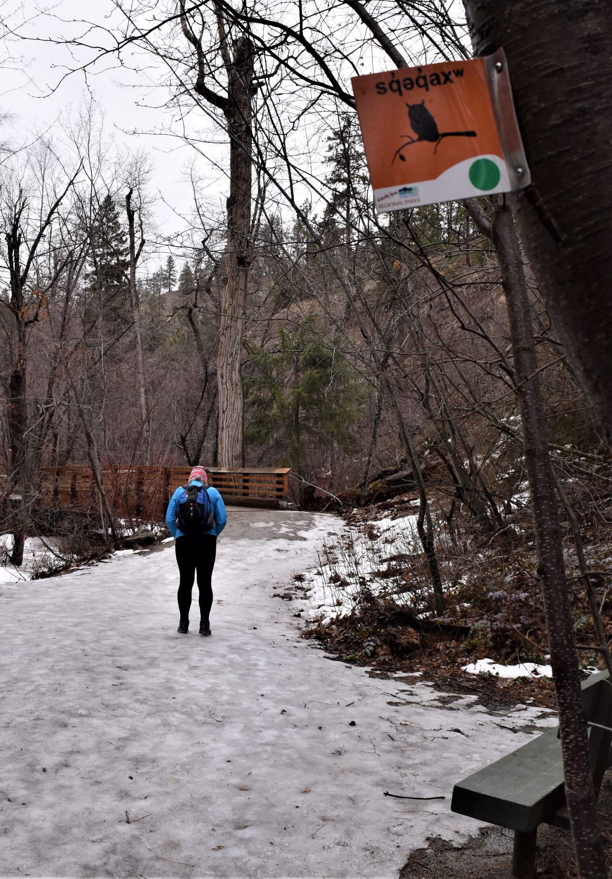
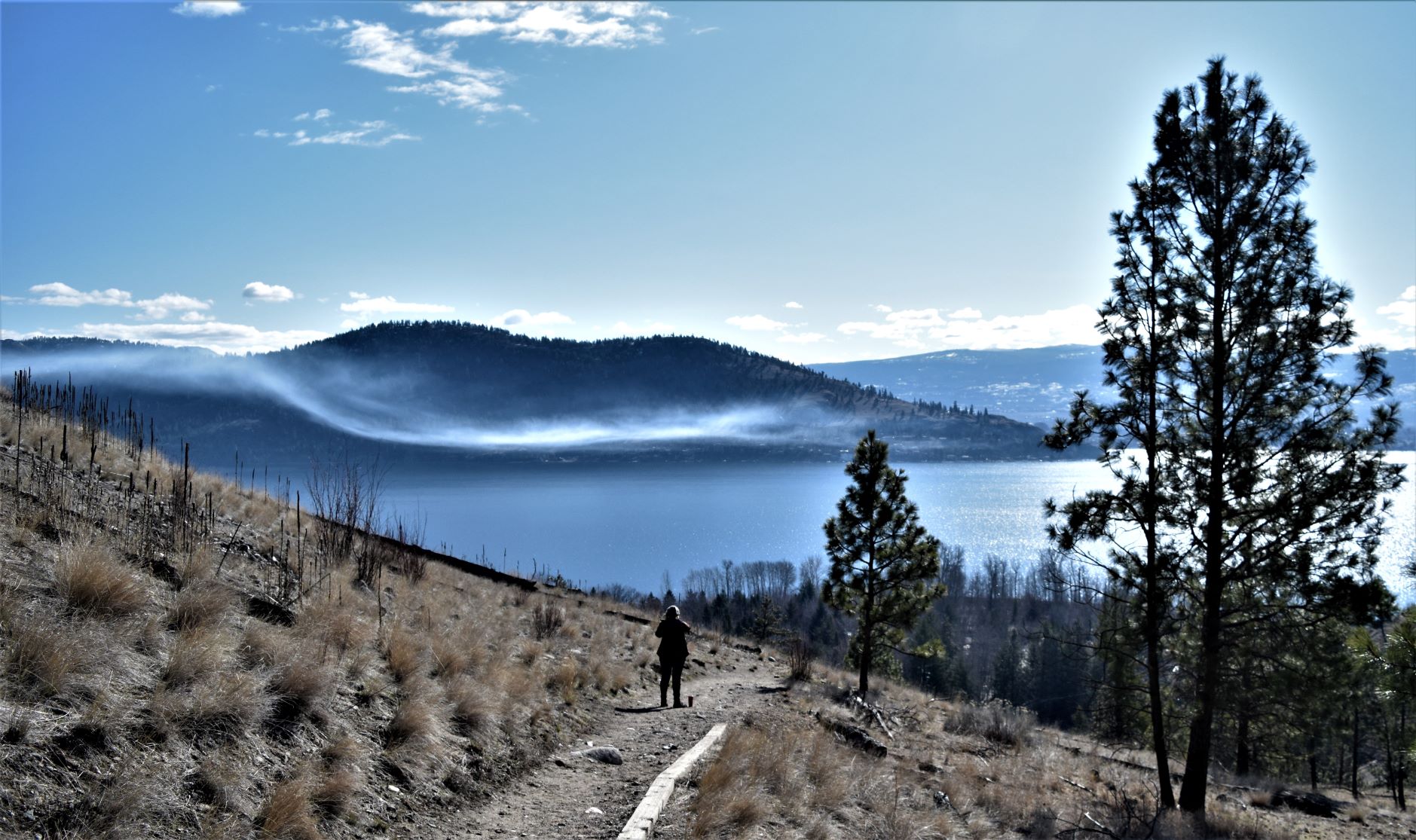
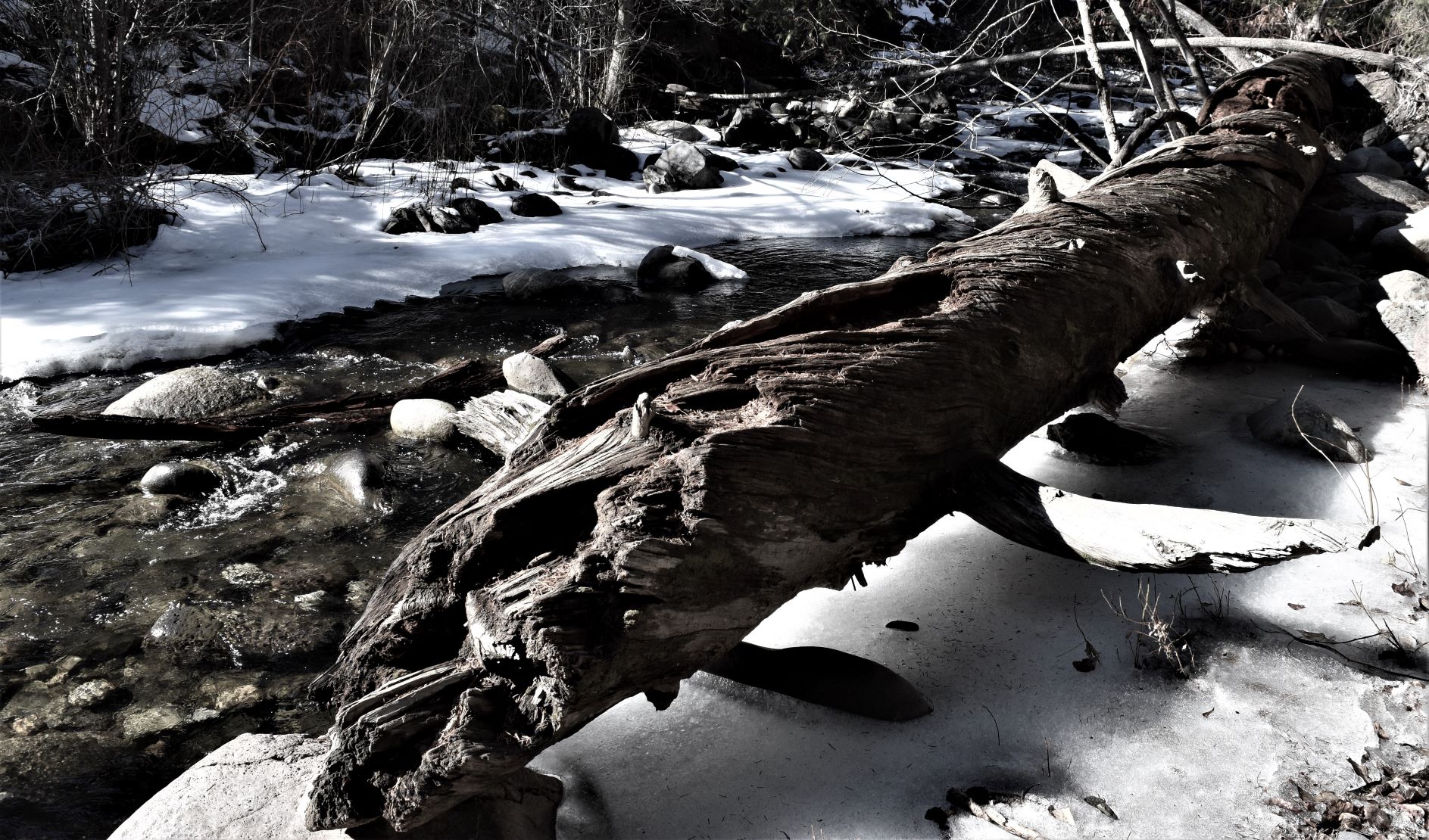
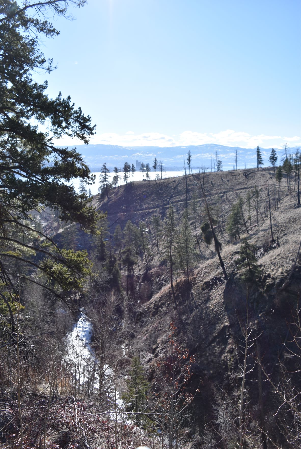
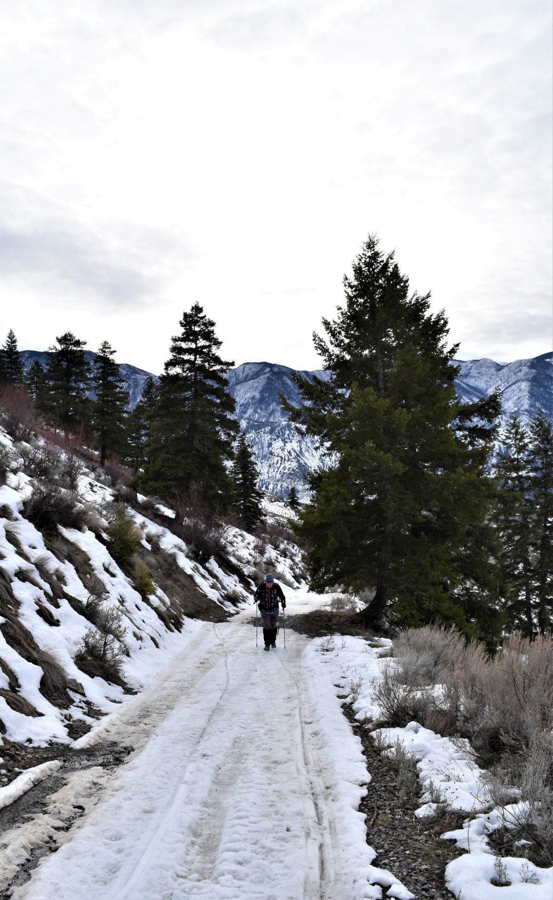
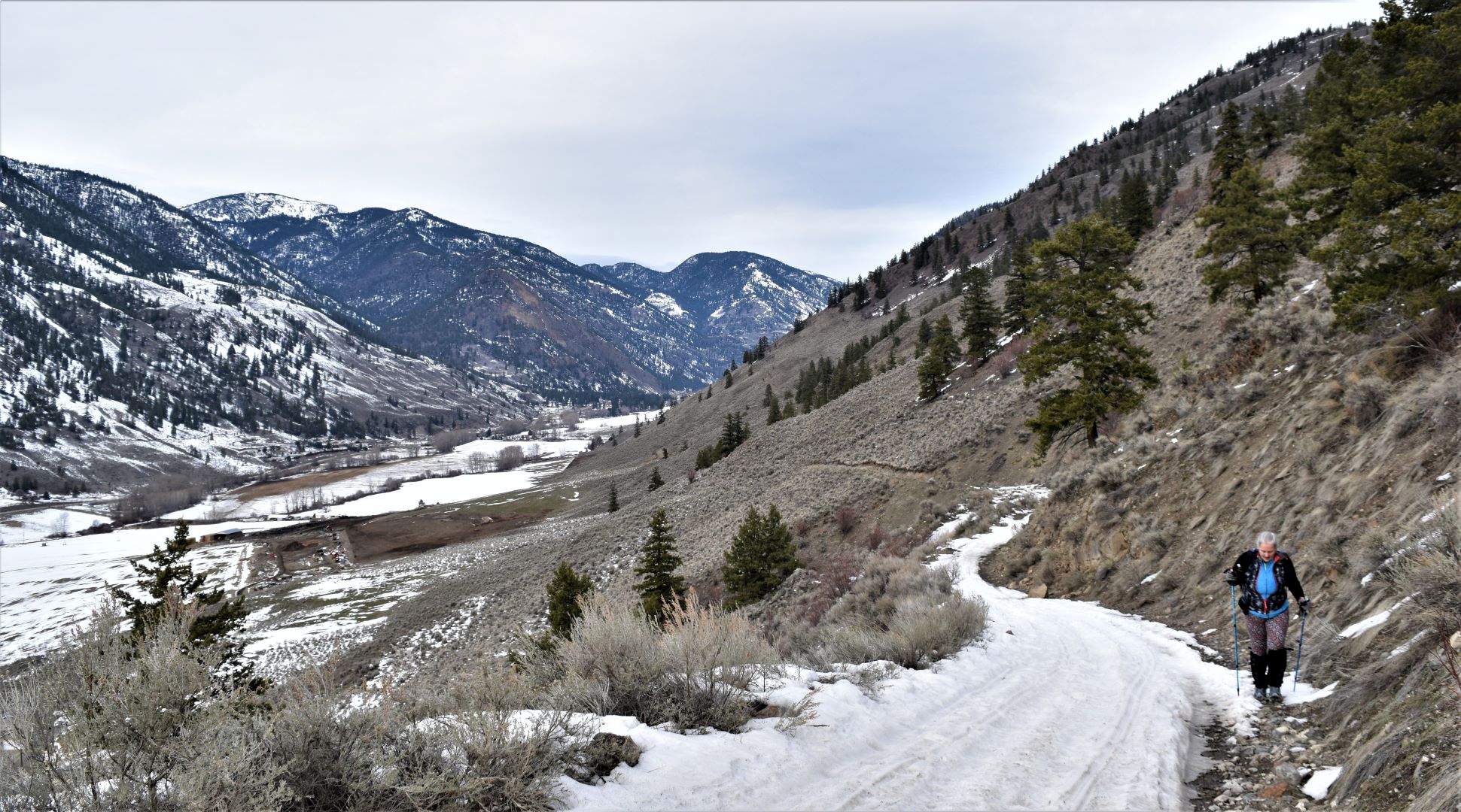
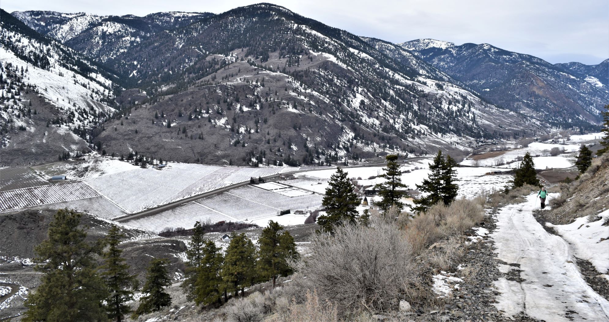
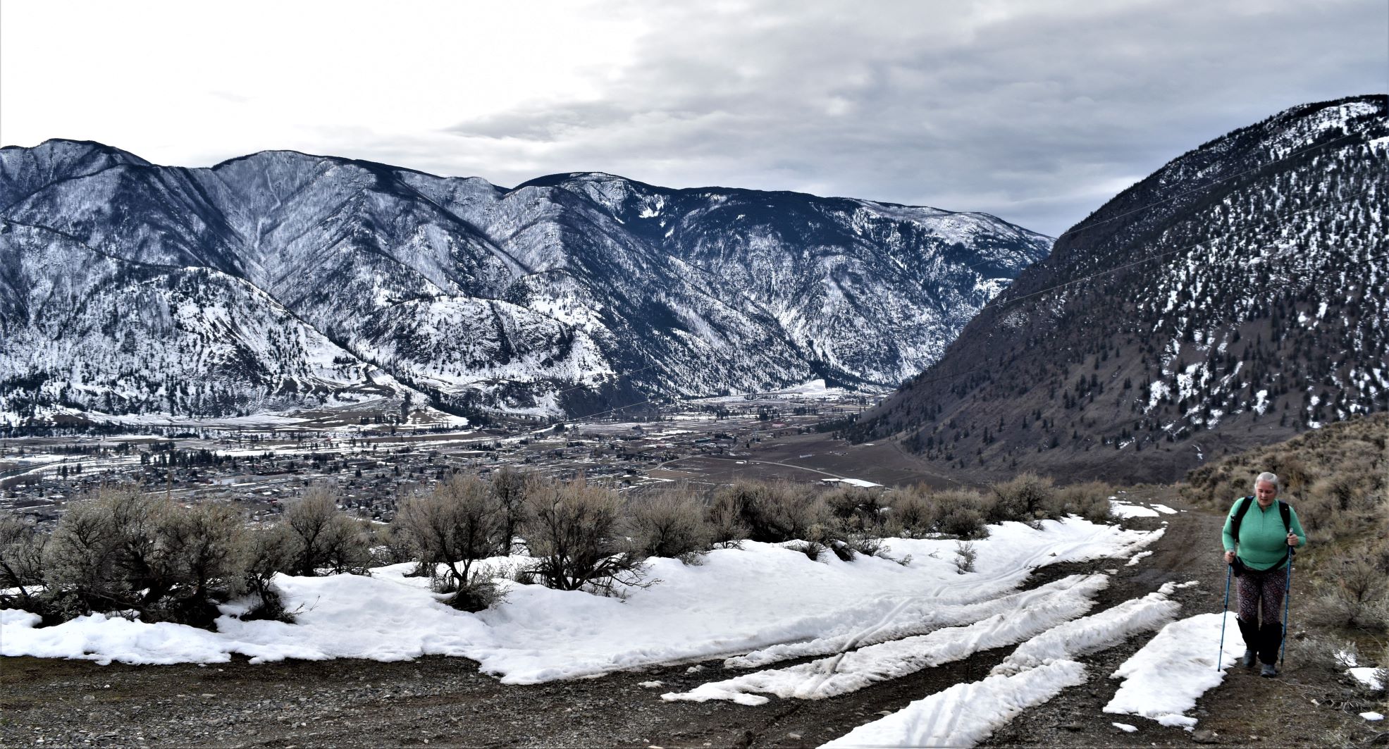
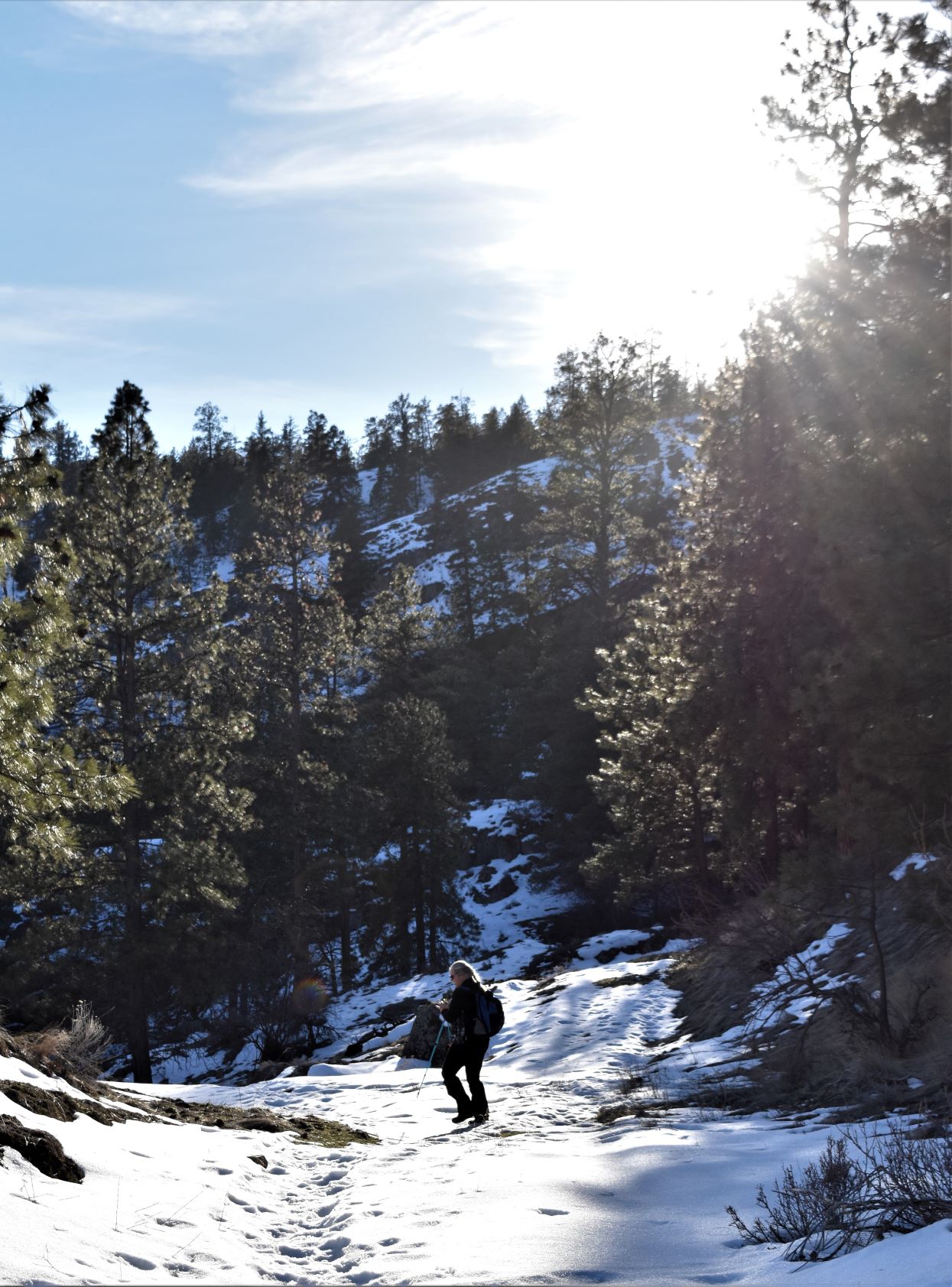
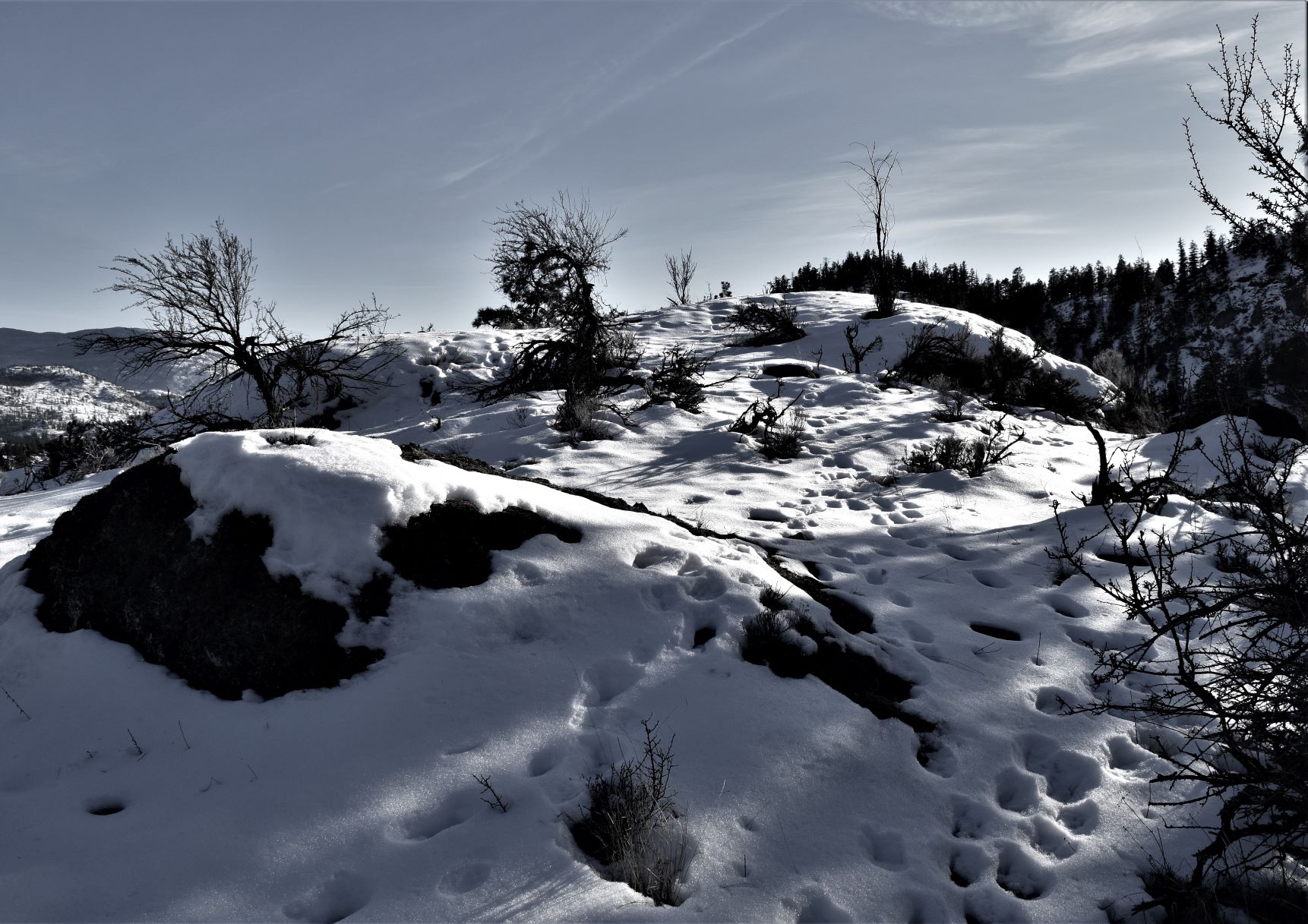
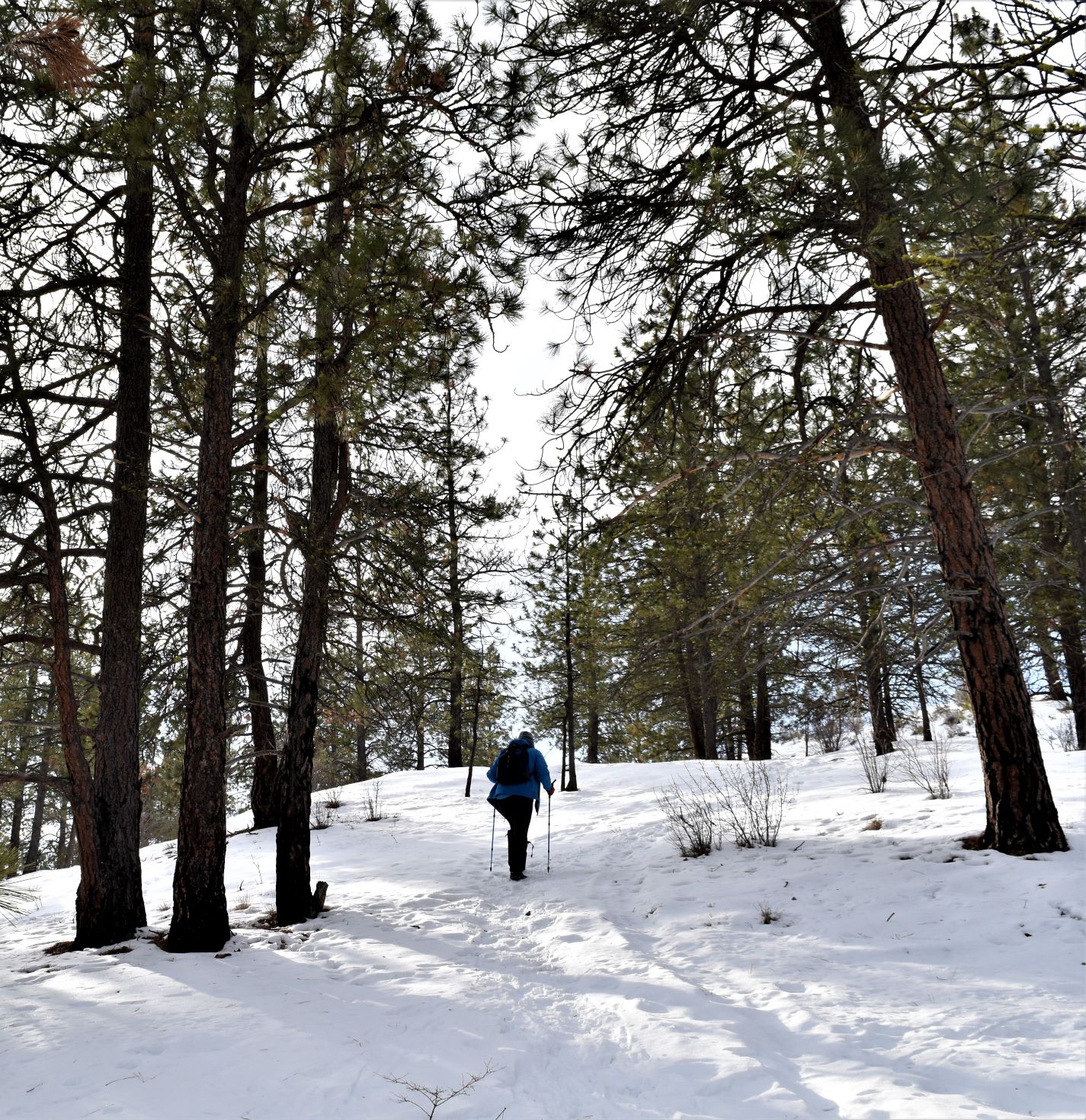
On..March 1st.. we had taken the short hike up the icy path to Hardy Falls.…and in the interests of adding more steps to the days activity…..we parked back towards the shoreline at Summerland to check out the trail up Trout Creek. Scott had been looking to get some interesting shots out over the lake and part of this trail went down onto the shore.

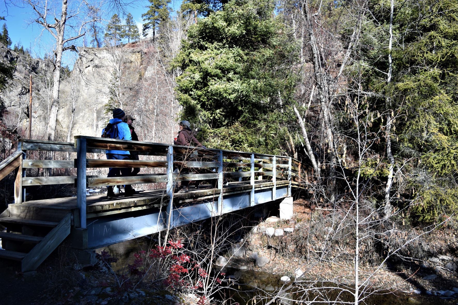
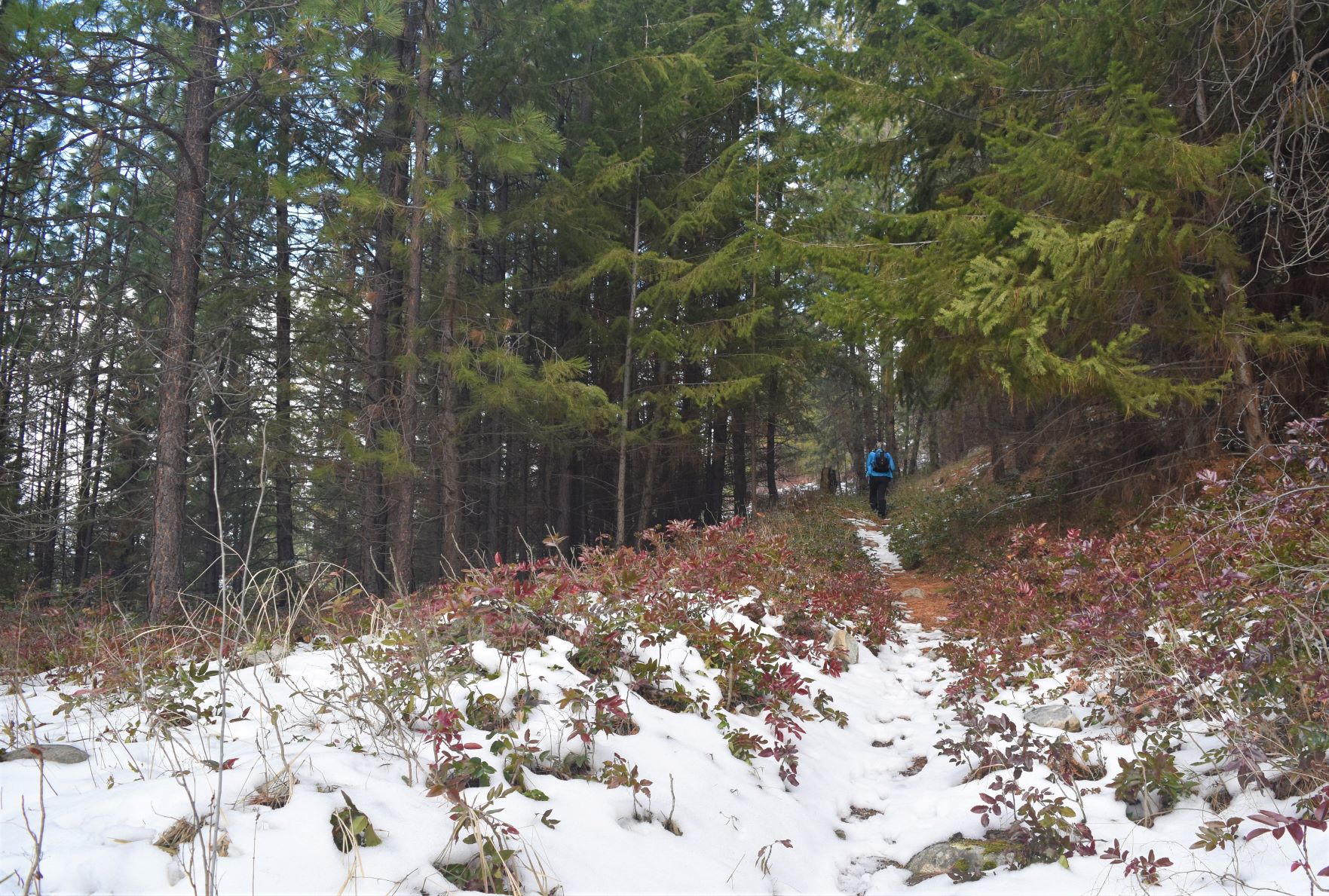
We went west first, away from the lake. It turned out to be a very easy level walk up the side of trout Creek .

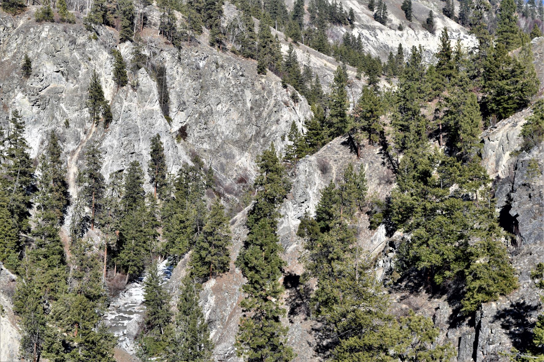
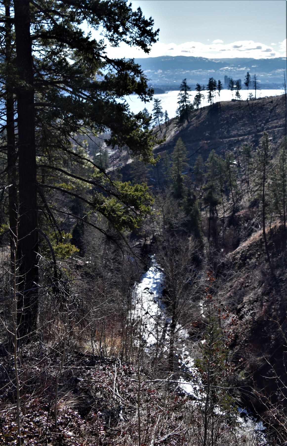
The side of the ravine made a very impressive backdrop, and eventually made impossible to go further up the creek….or at least it appeared that way with the snow still covering the water it was impossible to tell if there was a path there……or just the creek, and I was not willing to find out the hard way..!!

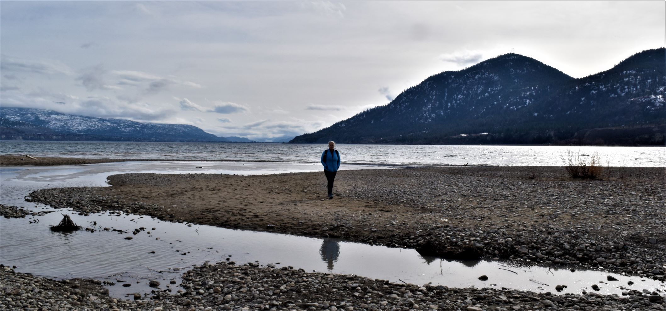
The other end towards the lake took us right out onto the beach. There is a dog park there……with access to the lake and a small forested area for dogs to romp in. Cool spot if you are a dog.
Summerland Trestle and the KVR

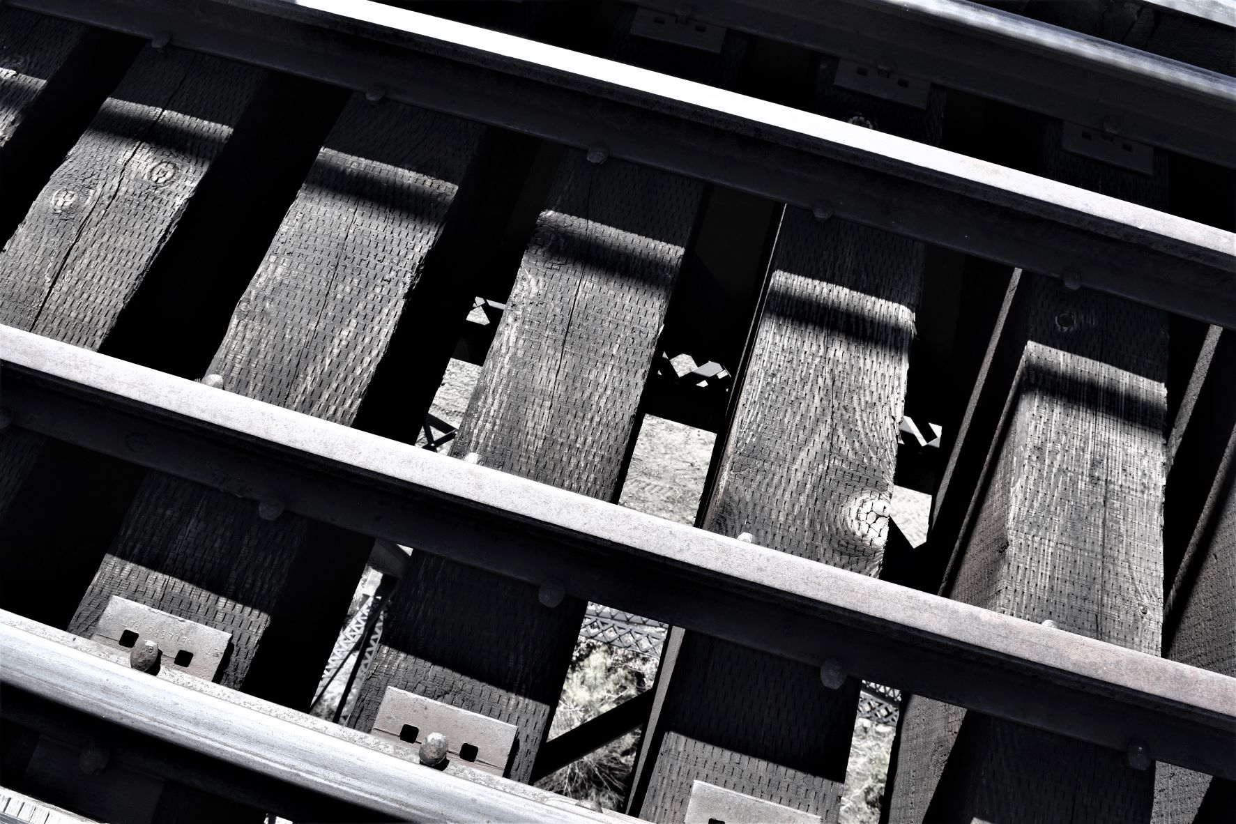
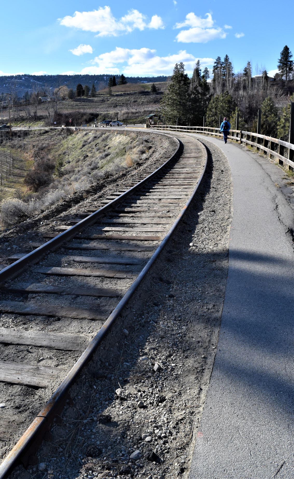
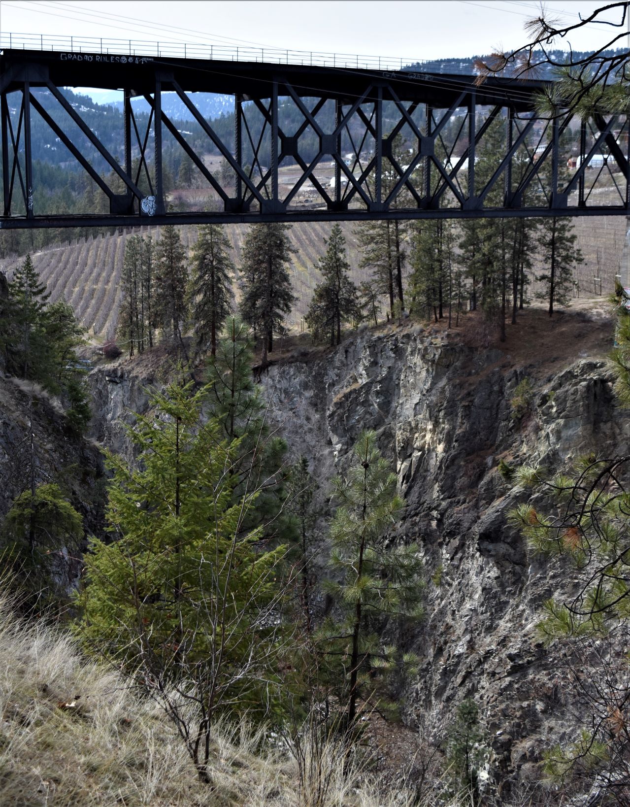
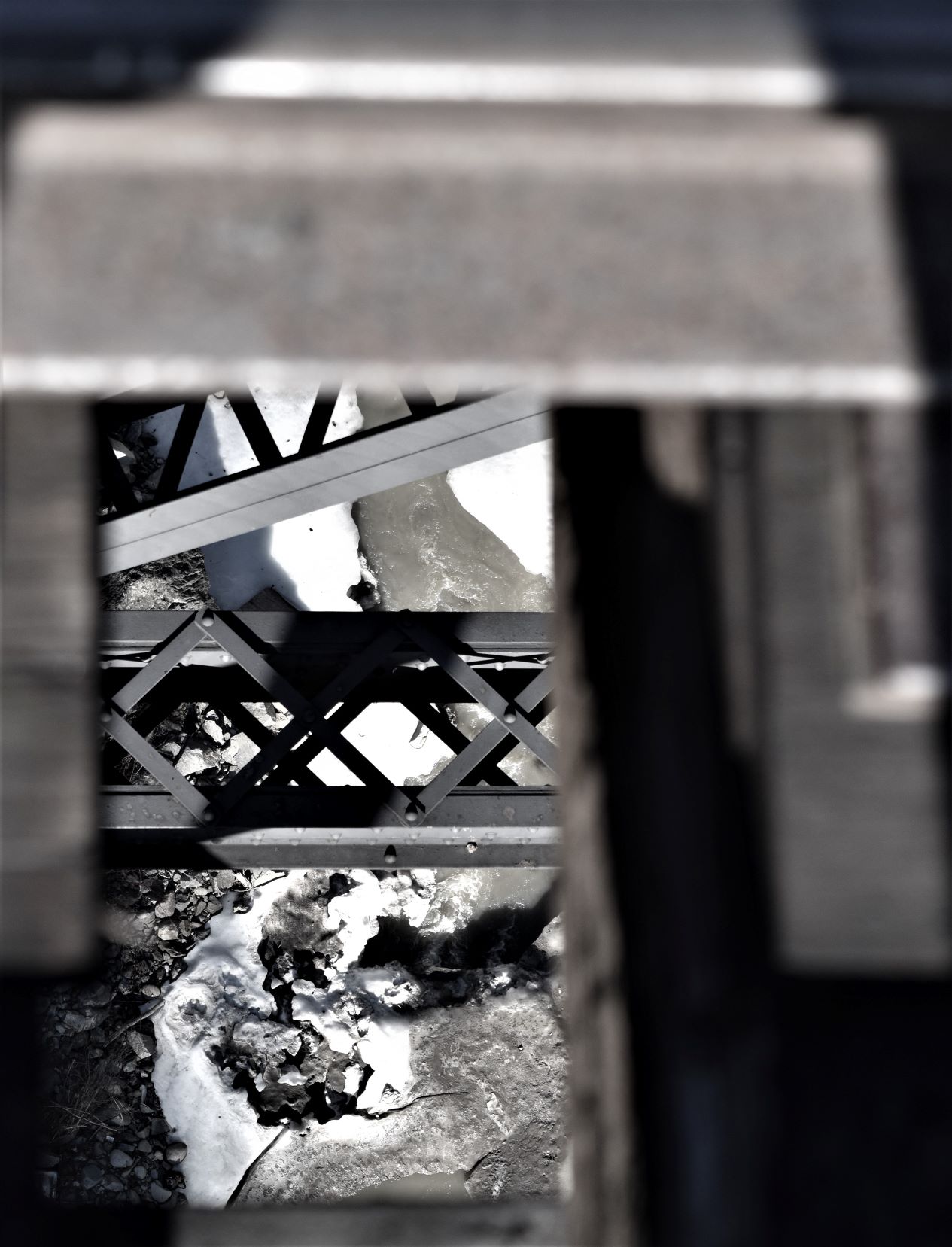
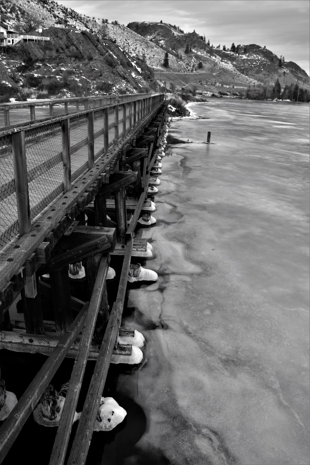
March 8th. Looking for interesting walks in terrain not yet covered we plumped for the trestles on the KVR (Kettle Valley Rail trail ) up the east side of Okanagan Lake. There is a steam train route that runs on a ten mile stretch of rail through Summerland…and the trestle is the starting point.

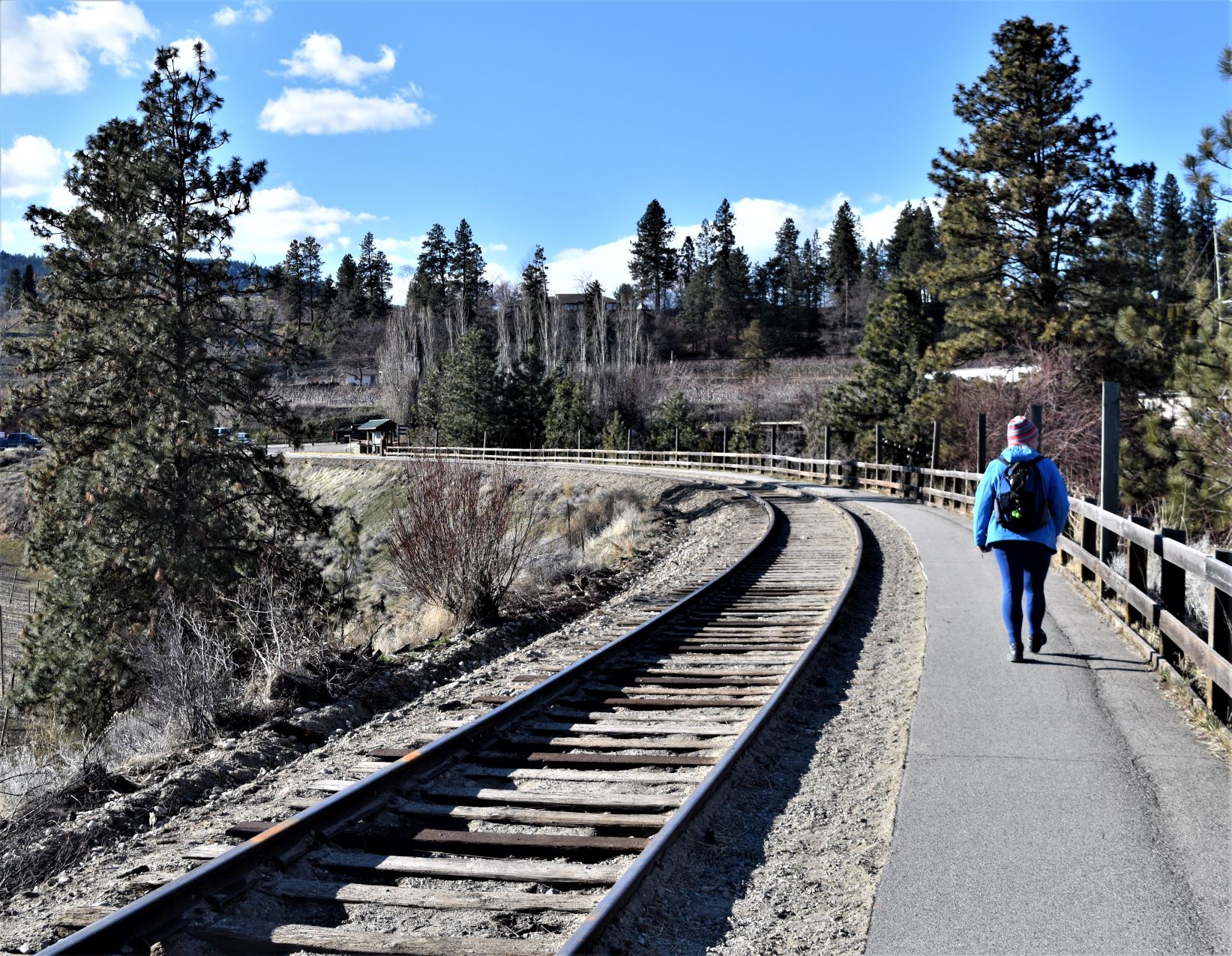
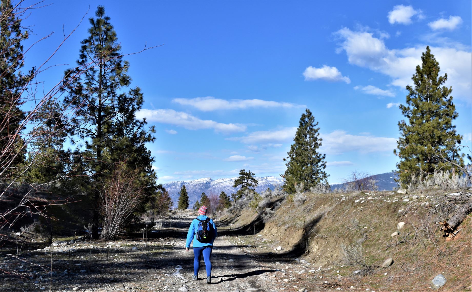
It was a cool but beautiful day….so we followed the trail south from the trestle. It’s a bit like the Naramata trail in that it is the old rail line, but far less travelled and far less manicured.

We had debated biking this route in the fall…and were now very glad we did not do it. Lots of loose rocks and basically a surface that would make biking a bit of a grind.
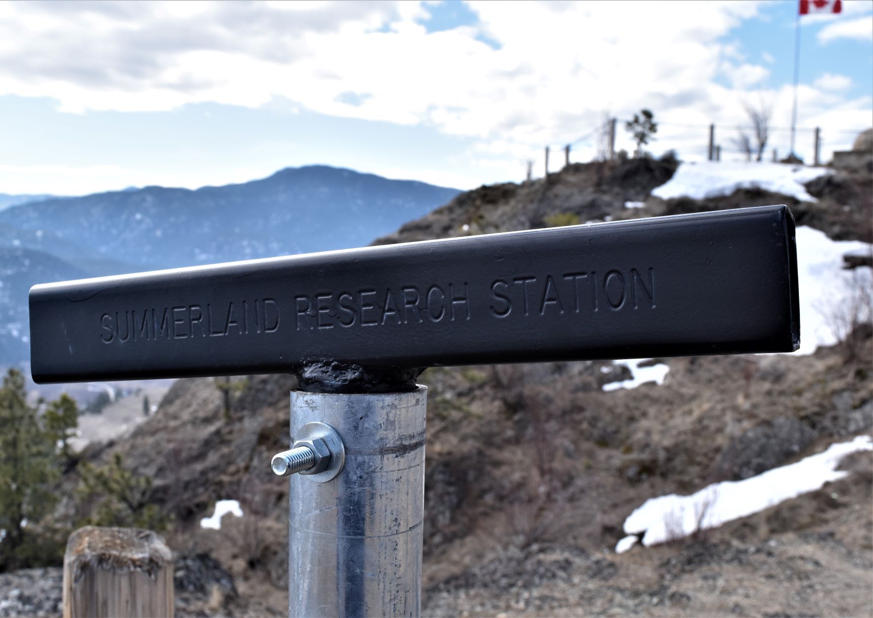
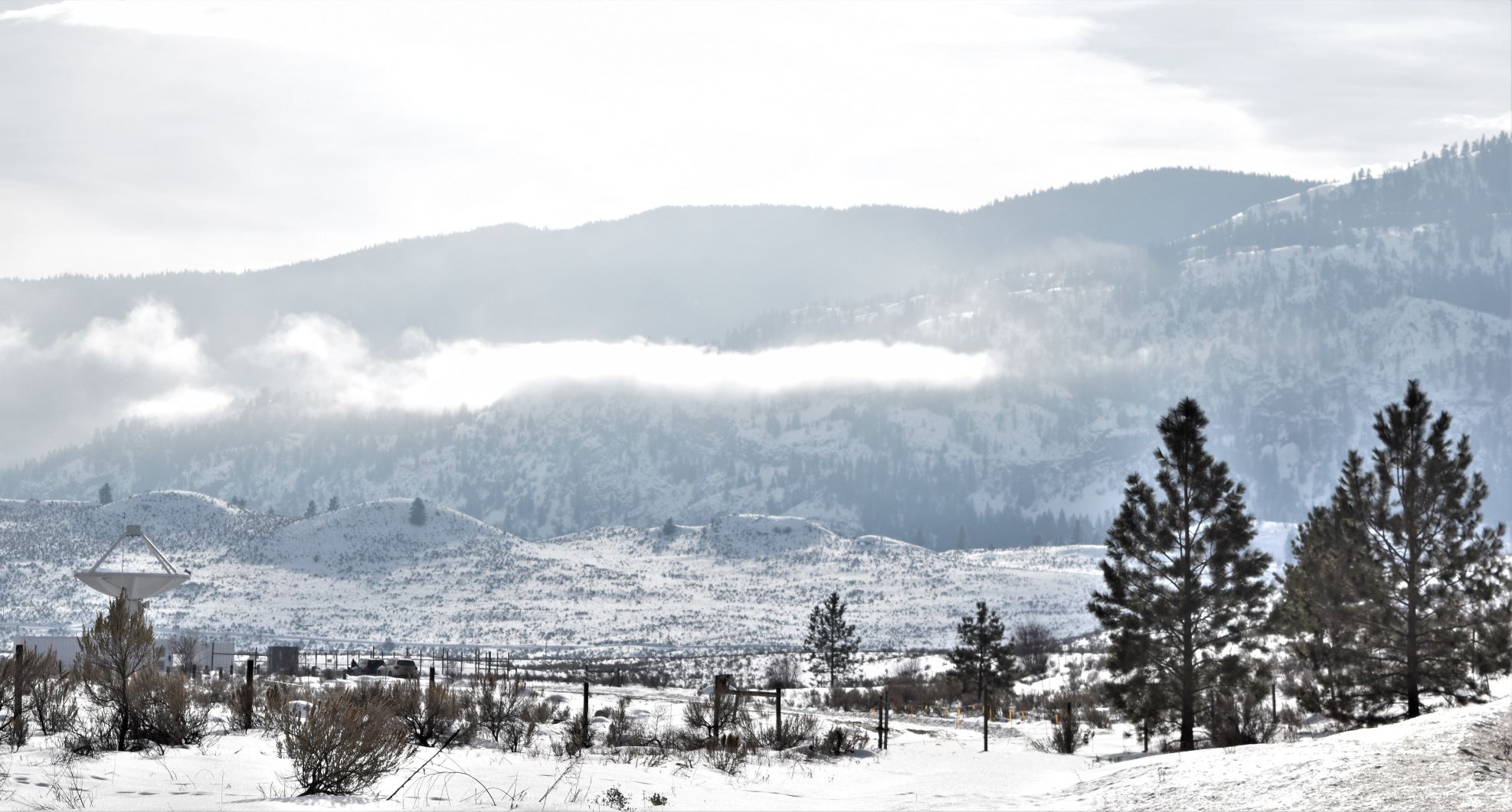
At the other end of the trestle we spotted a property with what looked like groups of children involved in some kind of activity. The signage from the trail side indicated that it was a research station

Further investigation when we got home revealed that it is also the site of the Summerland Ornamental Gardens.

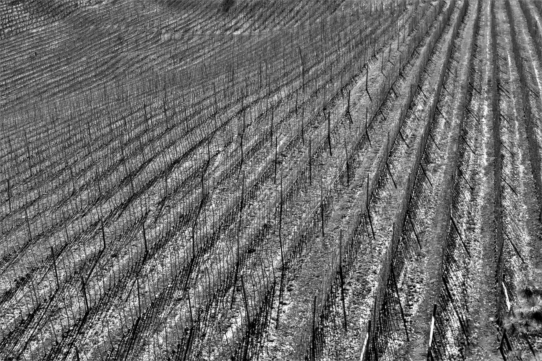
March 12th…..the gardens. It was a rest day from hikes…and not very warm but clear day, so it seemed like a plan to go check out the gardens. It turned out to be a quite fabulous place, even at this time of year. It also blessed us with some different angles of the trestle and the ravine that holds Trout Creek.

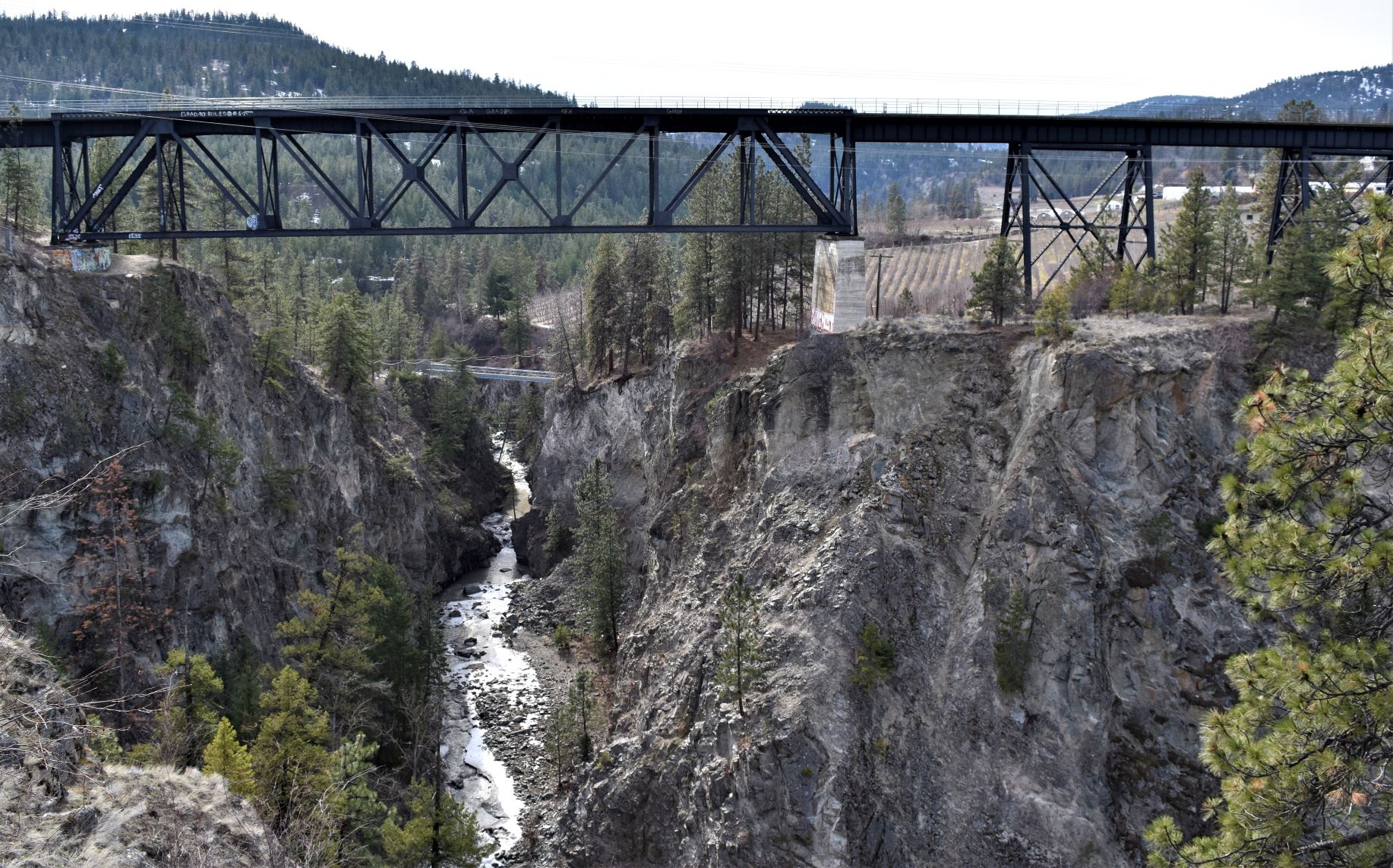
An unexpected delight with a real history…..the place was originally developed in 1916 as the Federal Agricultural Research station. Its another place that is a ‘must visit’ especially if you end up here in the spring or summer when its blooming.

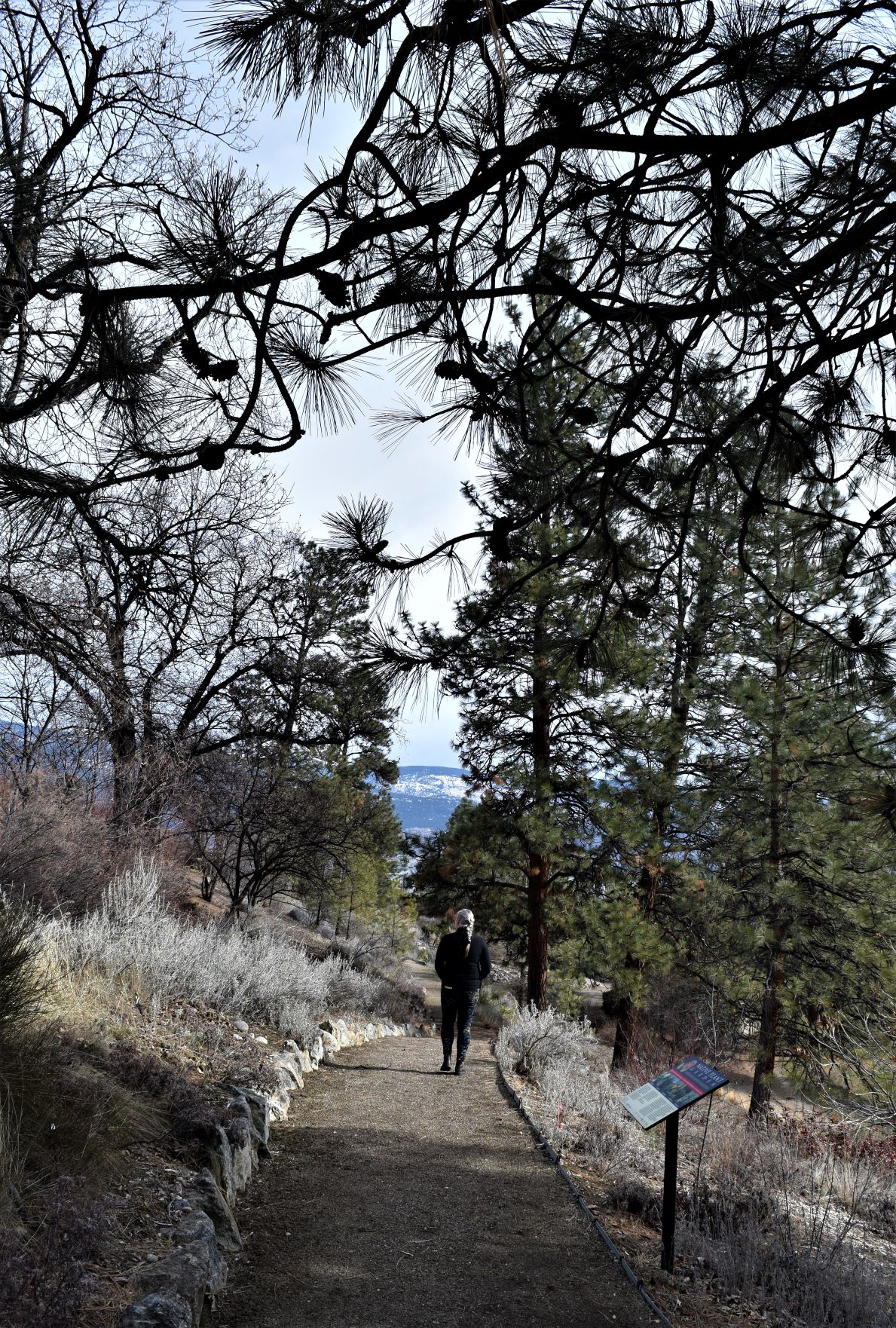
It was pretty interesting wandering about even this early in the spring ( or late in the winter..!!) but this place must be truly amazing once the flora starts up its engines.

Unfortunately we will likely miss it as we start heading east at the end of March.

I think I’m going to miss the loveliness of the Okanagan….may have to circle back someday….!!!

Extra Pix

Feb 24th…Walking on thin ice.

Another beautiful day in the neighbourhood…….the intrepid adventurers set out in the truck for a bit of a tour.

Wrights Beach Camp as we left was another one of those days where you just have to stop and get out to gaze at the view from the bottom end of the campground.

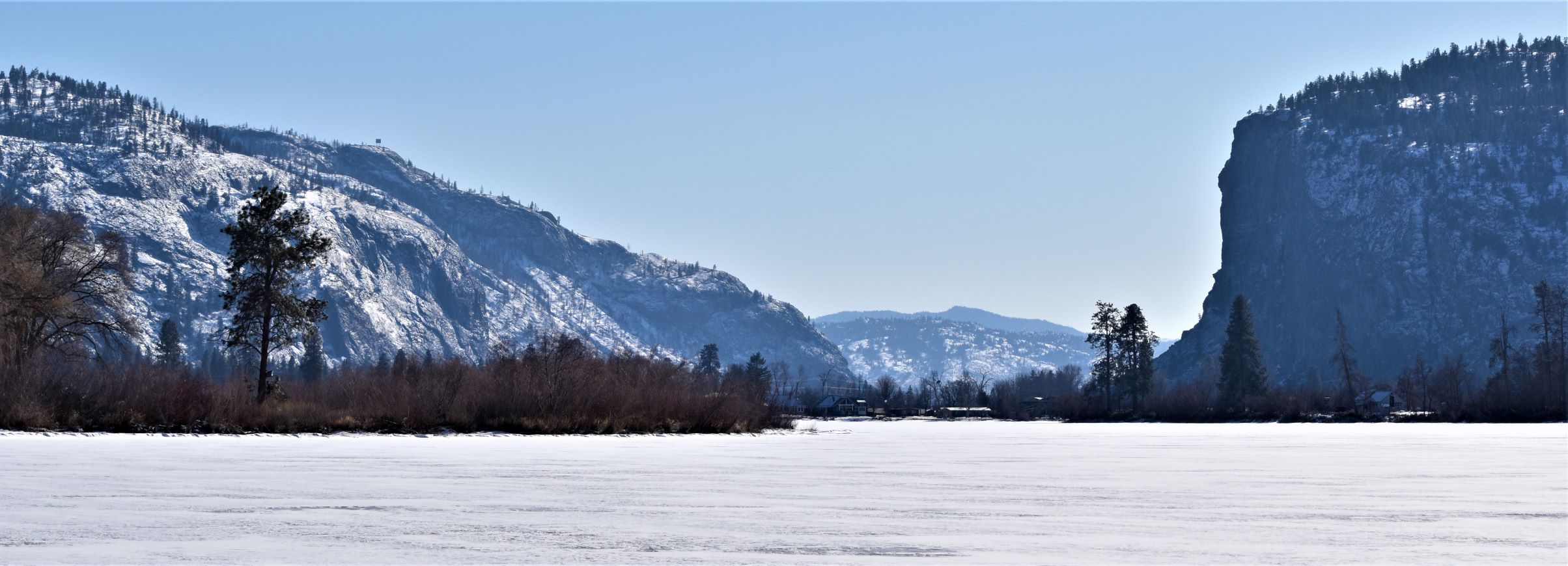
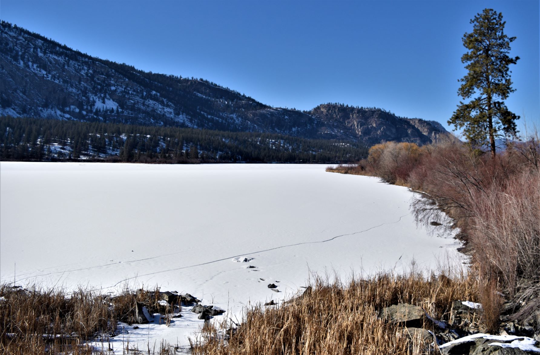
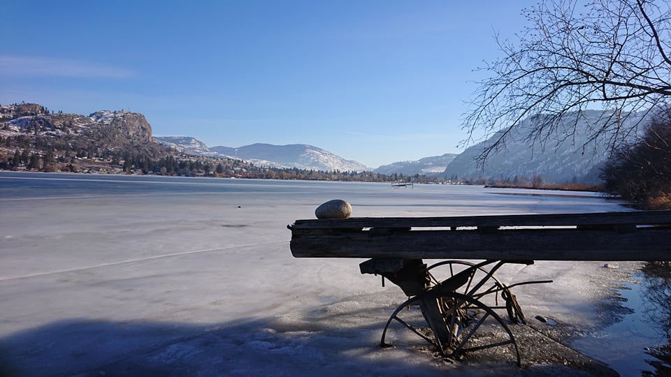
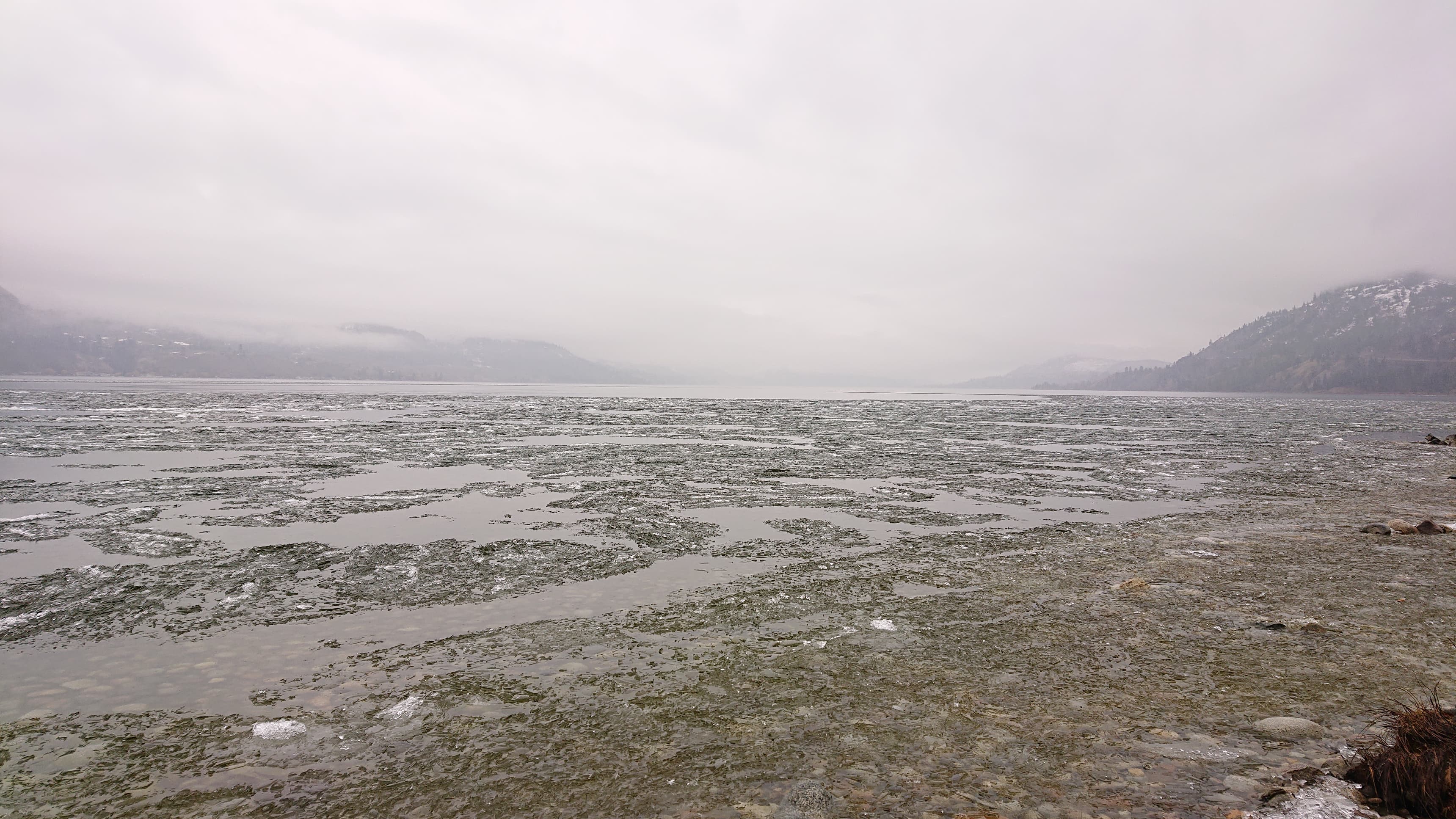
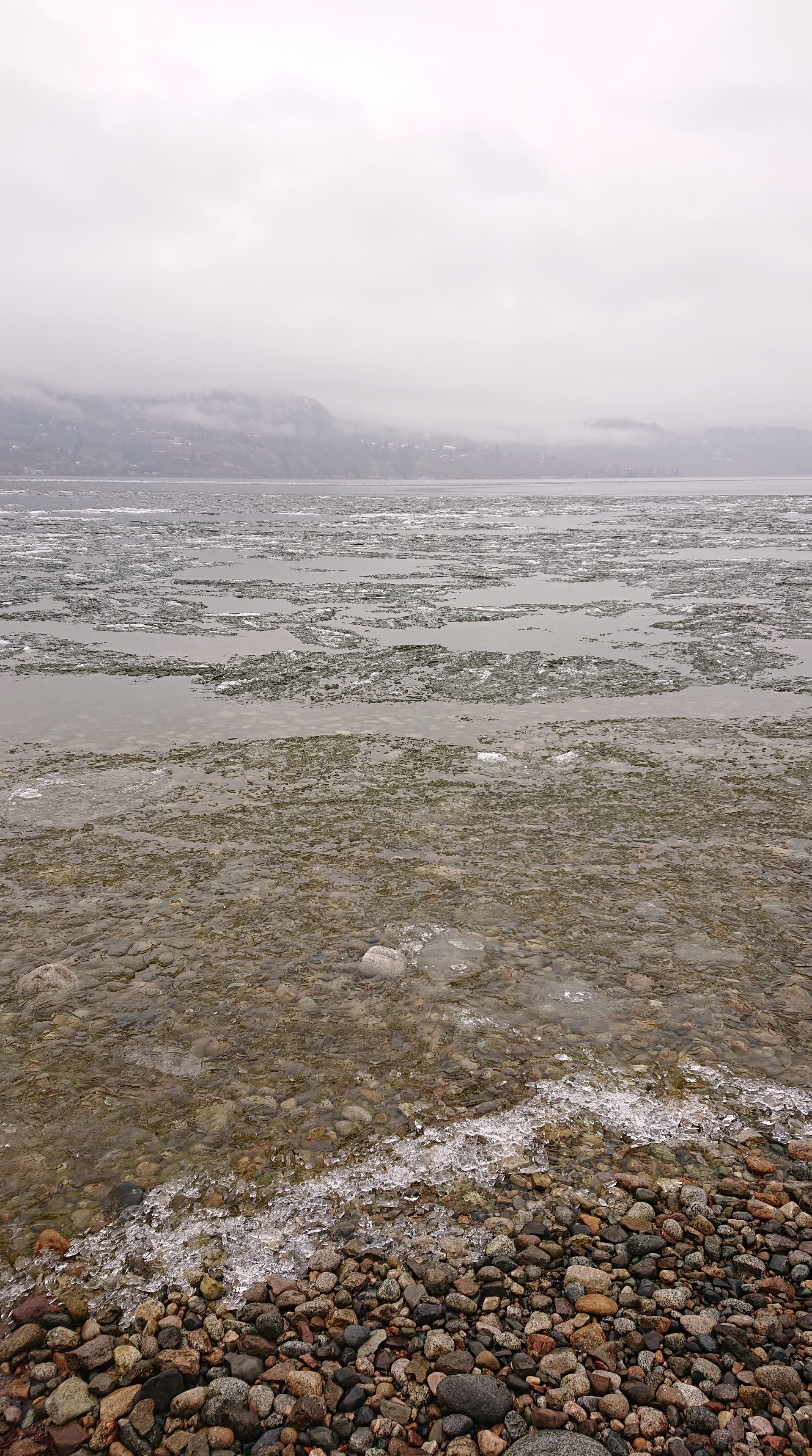
The lower end of the lake at Okanagan falls remained frozen, and frozen enough for ice fishers out there. The next Lake down the valley is Vaseux, where the birding area is….. and it pretty much all frozen. Just like further up at OK Falls….multiple ice fishing huts out there, with people lighting little camp fire by their fishing holes. Scott had had the notion that he wanted to walk out there and take some panoramic pictures from the middle of the lake. As I am sure anyone who knows me is aware…..this did not strike me as being a great idea. But…anyone who knows him……he was determined. We had had a couple of -10 celsius nights so it was as good as it was going to get……so the tour for the day took us down there.

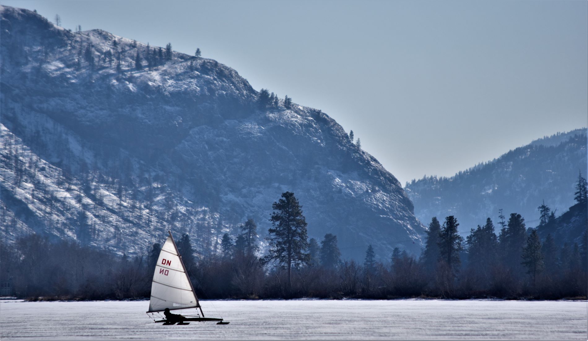
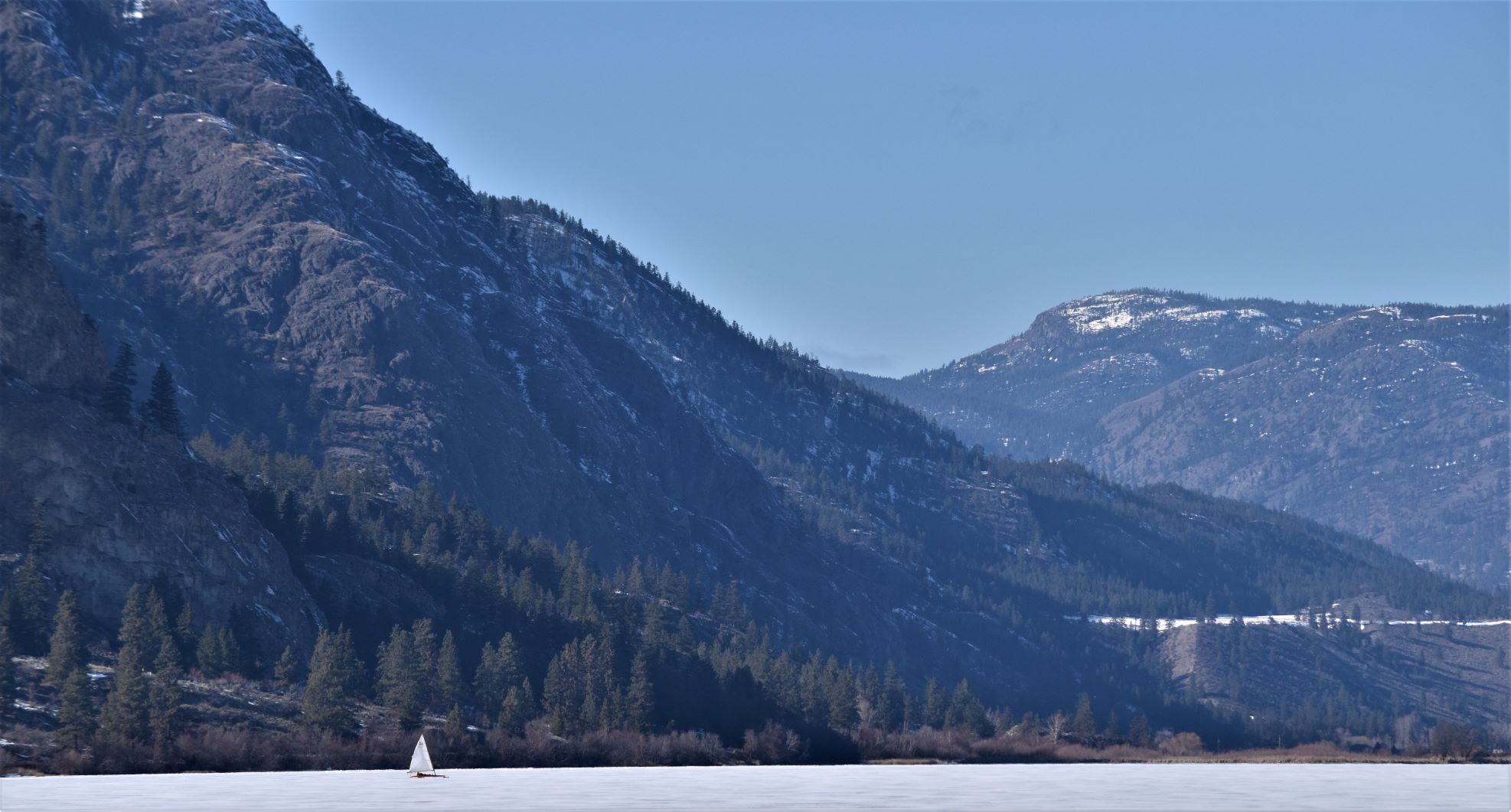
It was a spectacular sunny, wintery sunny day. Crisp and bright. We , or should I say he..!!…was lucky to find a small group of people out on the lake with neat little ice boats. Like windsurfing only on ice with the person laying down like a luge.

Anyway……here are the resulting pictures…!!! ( I may have to grudgingly admit that they might have been worth it……..you still wouldn’t get me out there tho…!!!)

You can see that sheer drop of McIntyre Bluffs in the background of the pictures. It makes me take a deep breath every time I look at that drop…!!!

On the way home we took the scenic route up the east side of Skaha again and spotted these fellas just outside Okanagan Falls.

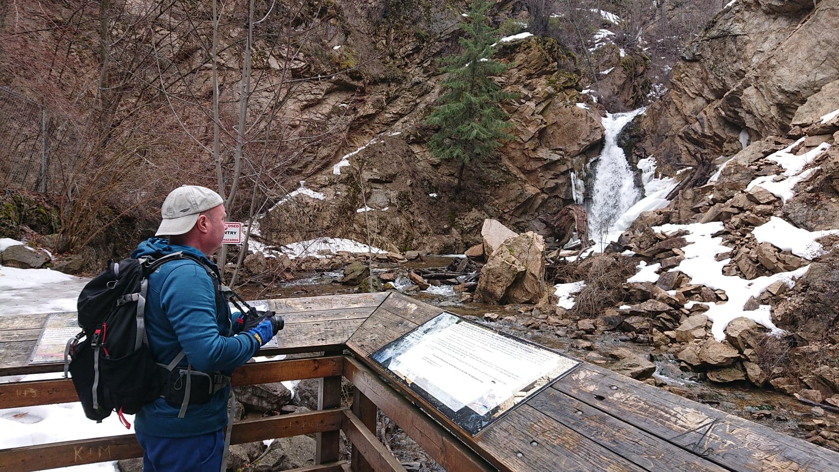
It seemed like a good fit to put together with a short walk we did to Hardy Falls. A 1km walk up to some very pretty falls. The trail was so well travelled it was solid ice the whole way. SO thick ice on this one rather than the thinner version Scott ventured out on…!!! The path has 8 bridges crisscrossing over the creek up to the falls at the end. I had thought from the map that we might be able to extend the walk further up the gully……but when you get to the falls its pretty much a sheer rock wall behind it. So no luck on going any further without some serious rock climbing equipment and a lot more rock climbing experience than I will ever have…..

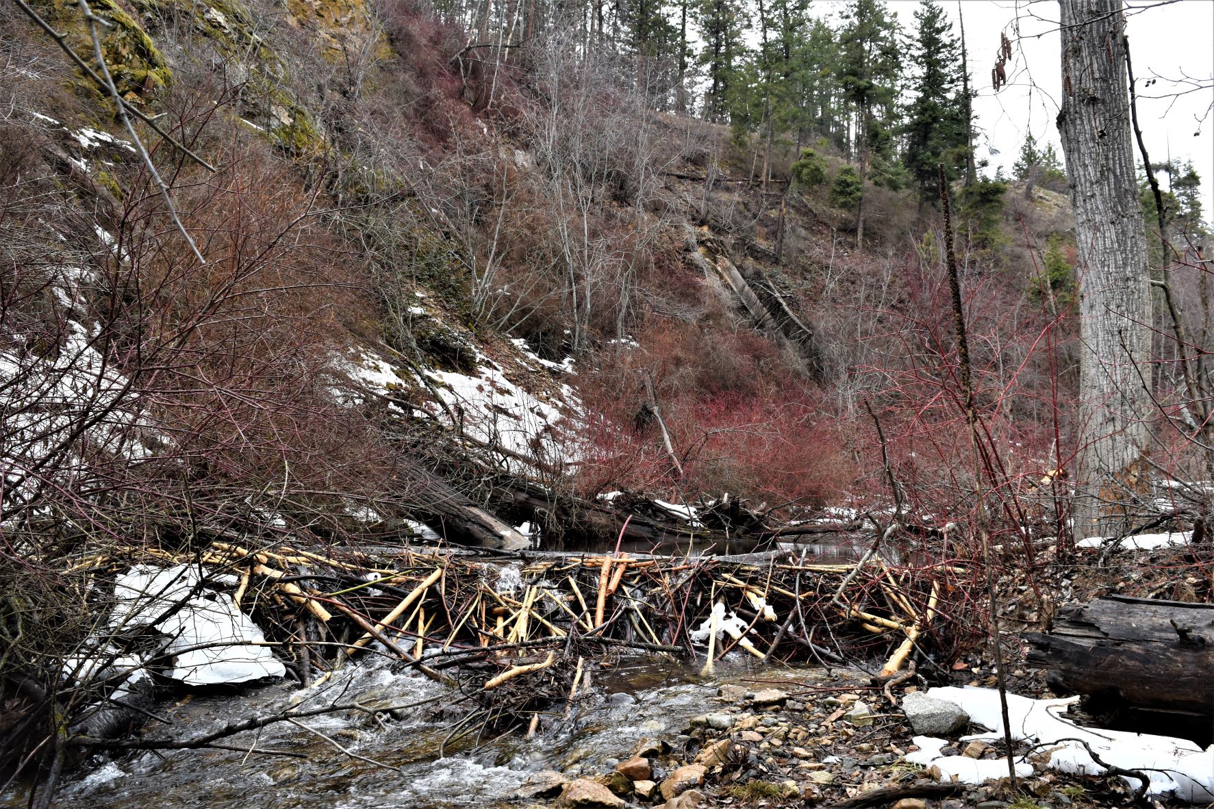
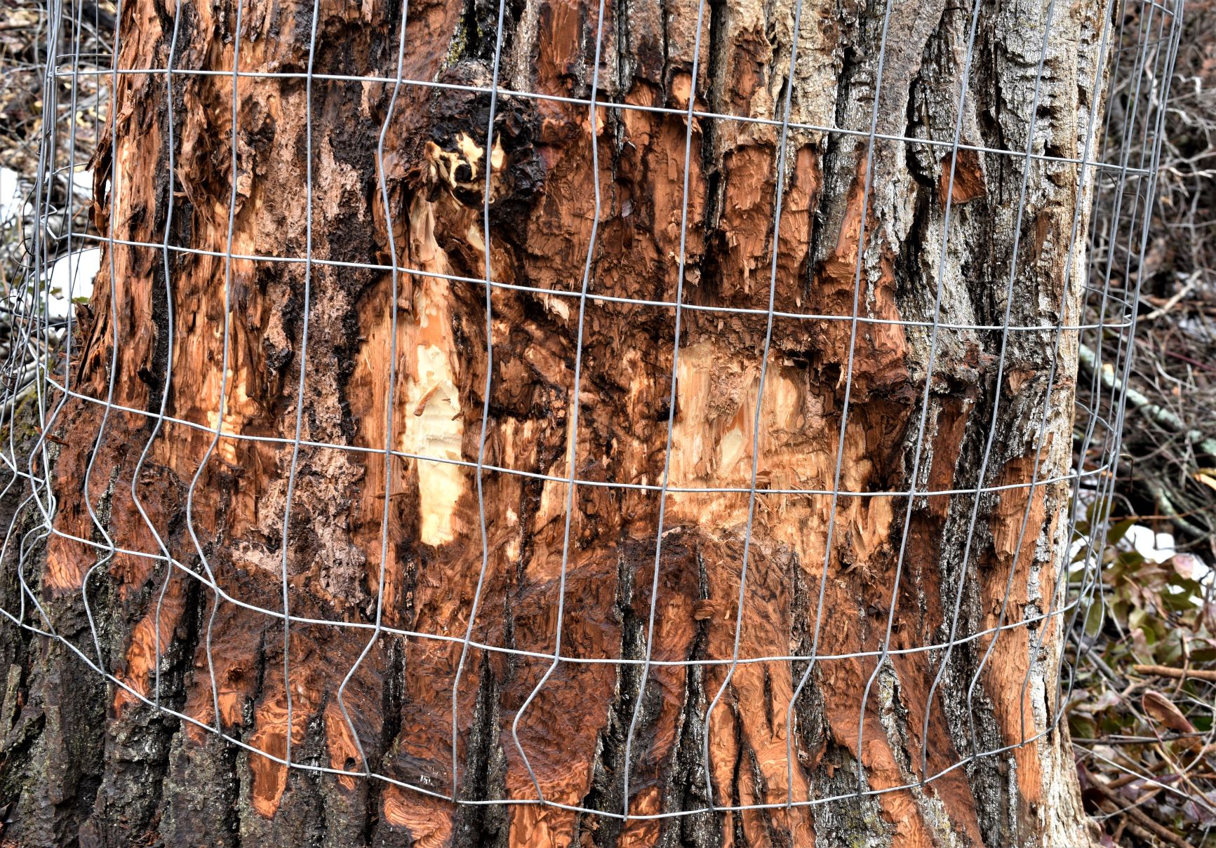
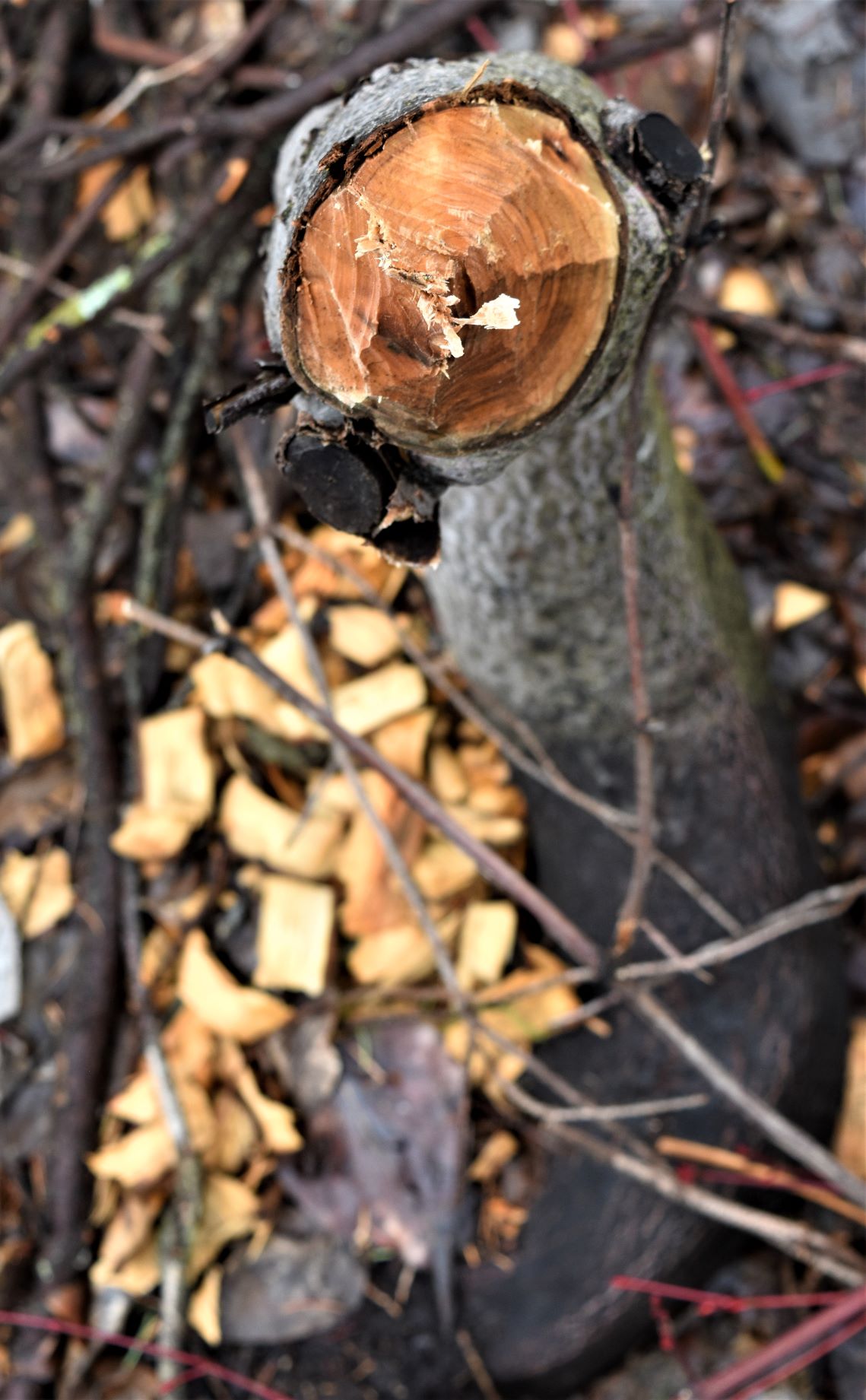
One of the very interesting things we found there was some of the beaver damage to the trees. Those tings are fierce…!!!

Some extra Ice pix.

March 18. Skaha …Burnt Sauerkraut.

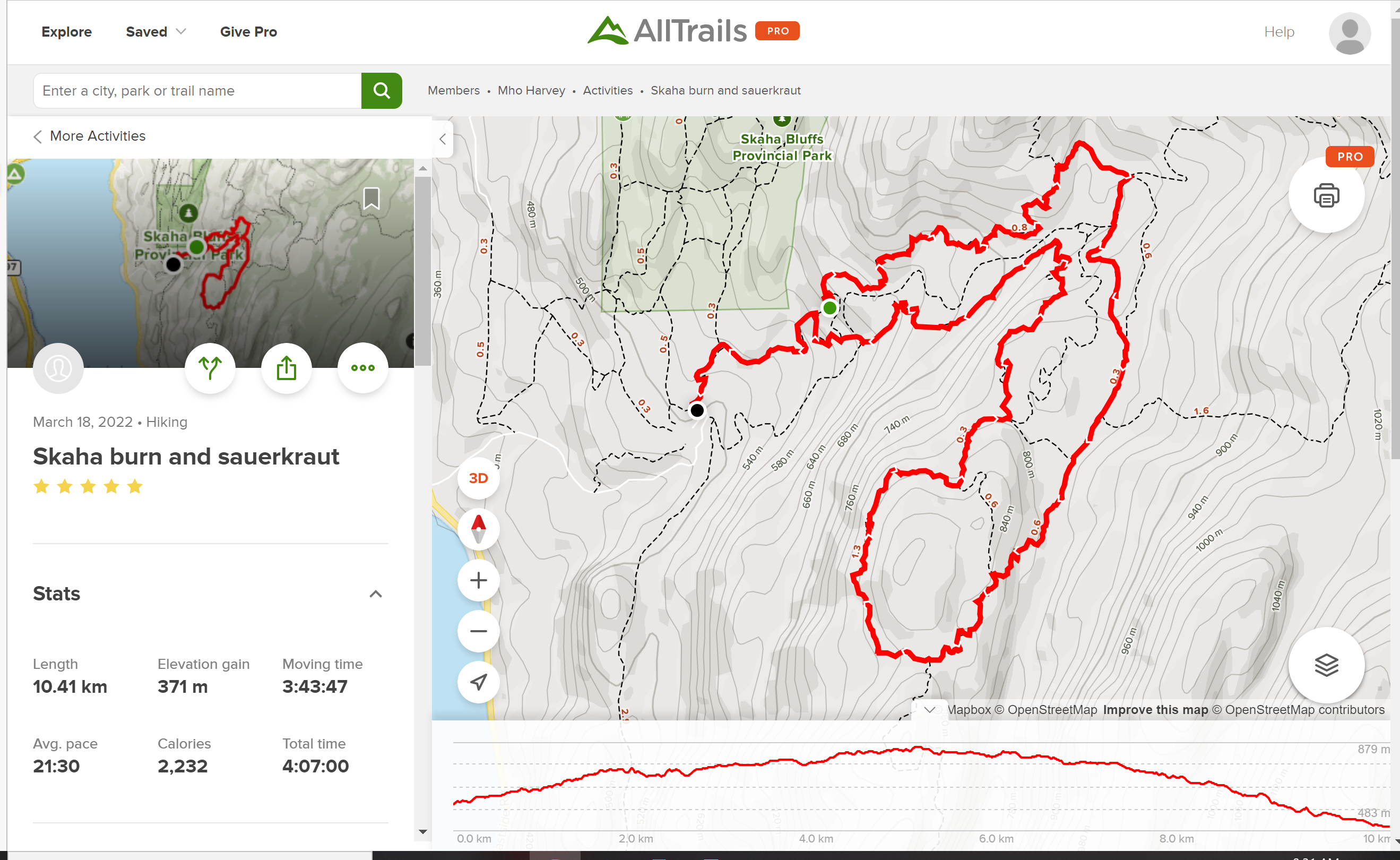
I am always on the hunt for something a little different and on Alltrails. Skaha Ward 1 Trail caught my eye when we first arrived in Penticton, but it was closed after some extensive wildfire damage in the fall. ( and the trail is actually called Sauerkraut.!!)

This was likely going to be our last hike before moving on and as I was casting around for something a bit special, I spotted that this one no longer indicated that it was closed. Excited, I downloaded the route that someone else had followed the day before us. It seemed like a reasonable way to make sure we were on a passable trail. …In Skaha ( from experience) there are many spots where…without a certified trail one runs the risk of walking off the edge of a cliff……

So back up to Skaha Bluffs Park……the gate to the parking lot was open (small celebration…cos the road up to the parking area is about a kilometre of straight up…)

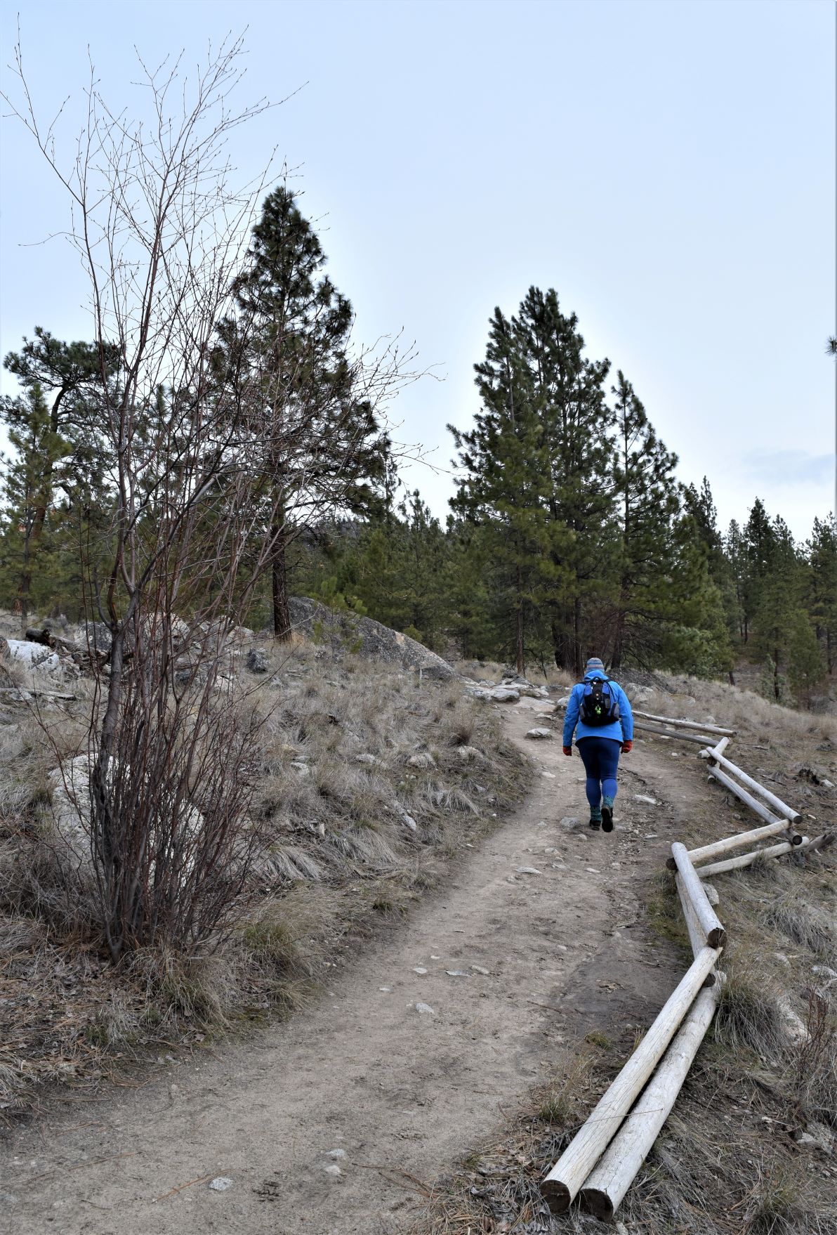
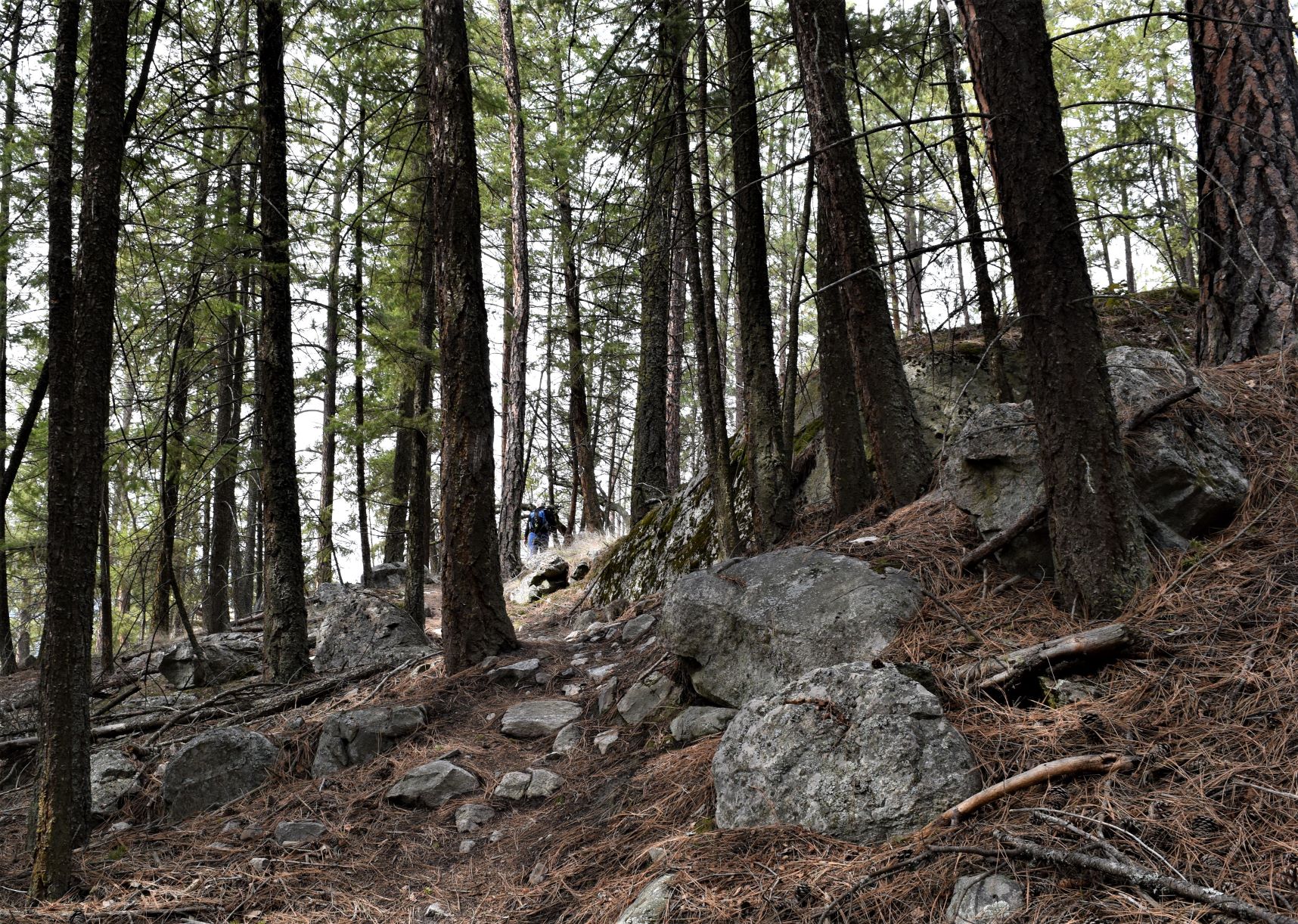
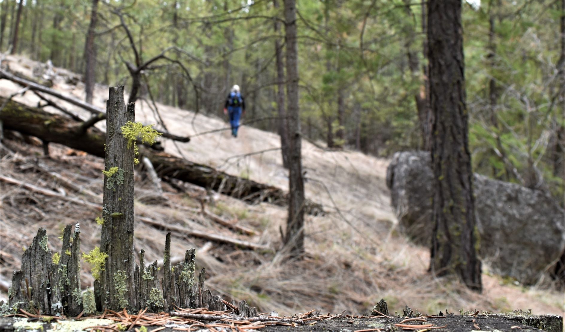
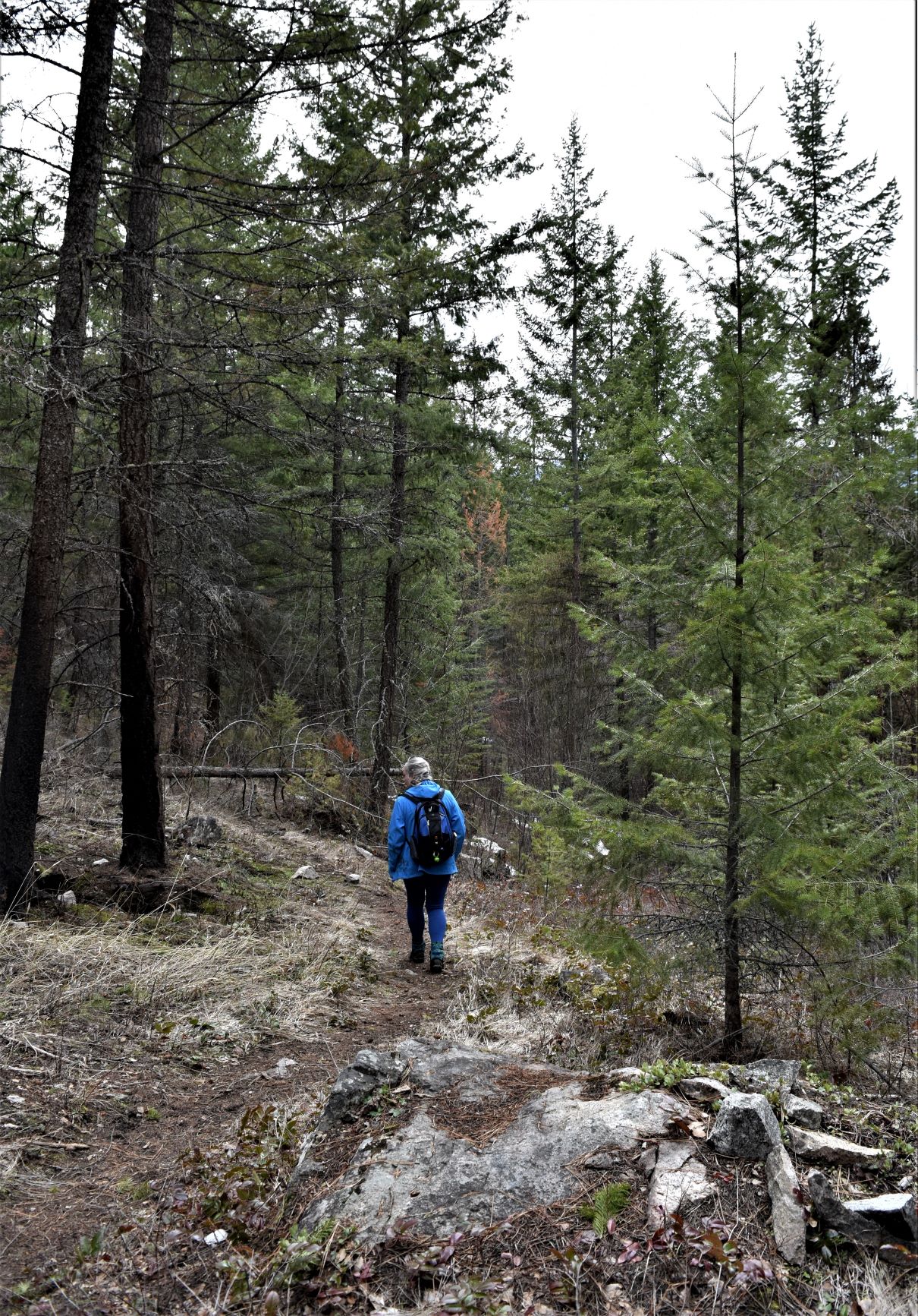
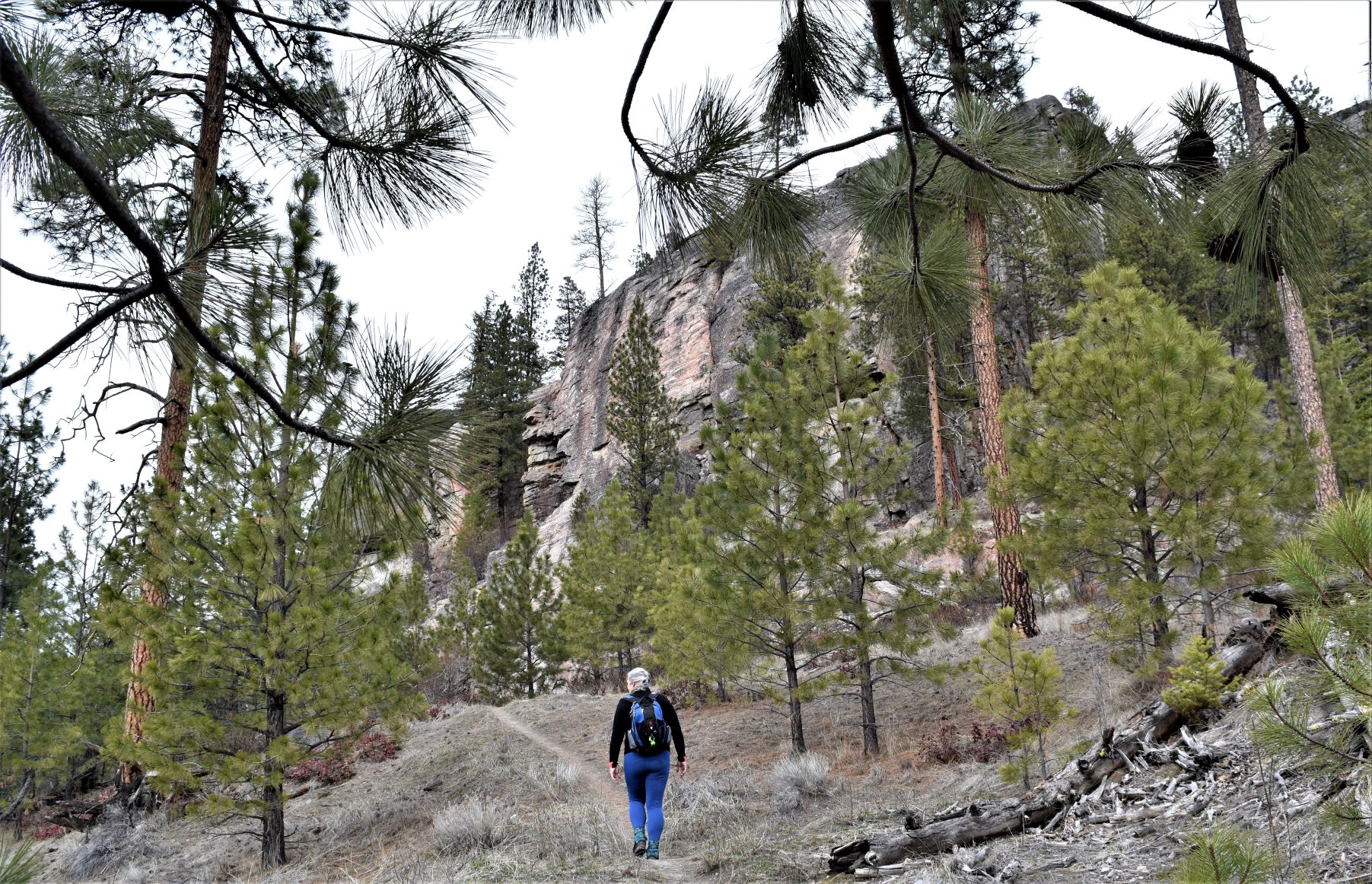
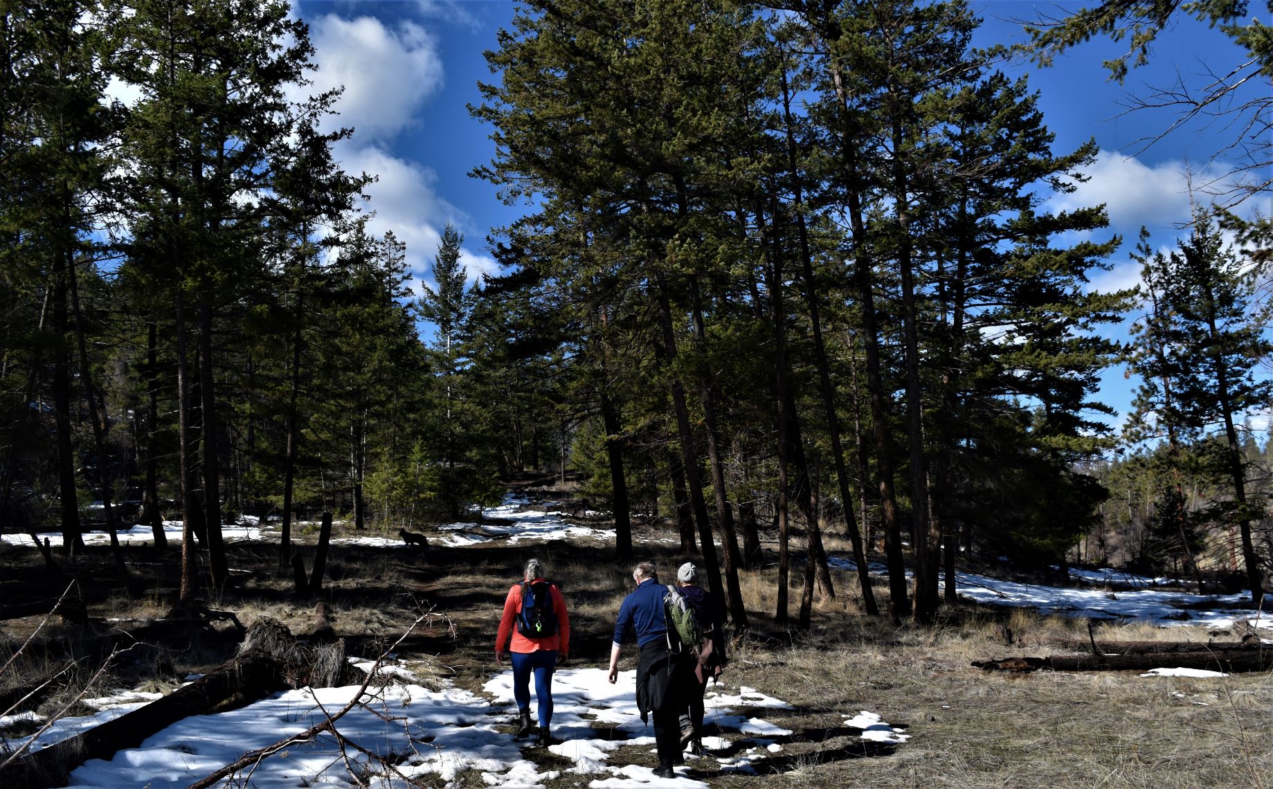
The trail was not technically hard…but we were aiming for about 12km, which is further than we have hiked in a while. Its a very pretty trail through the big ponderosa pines.

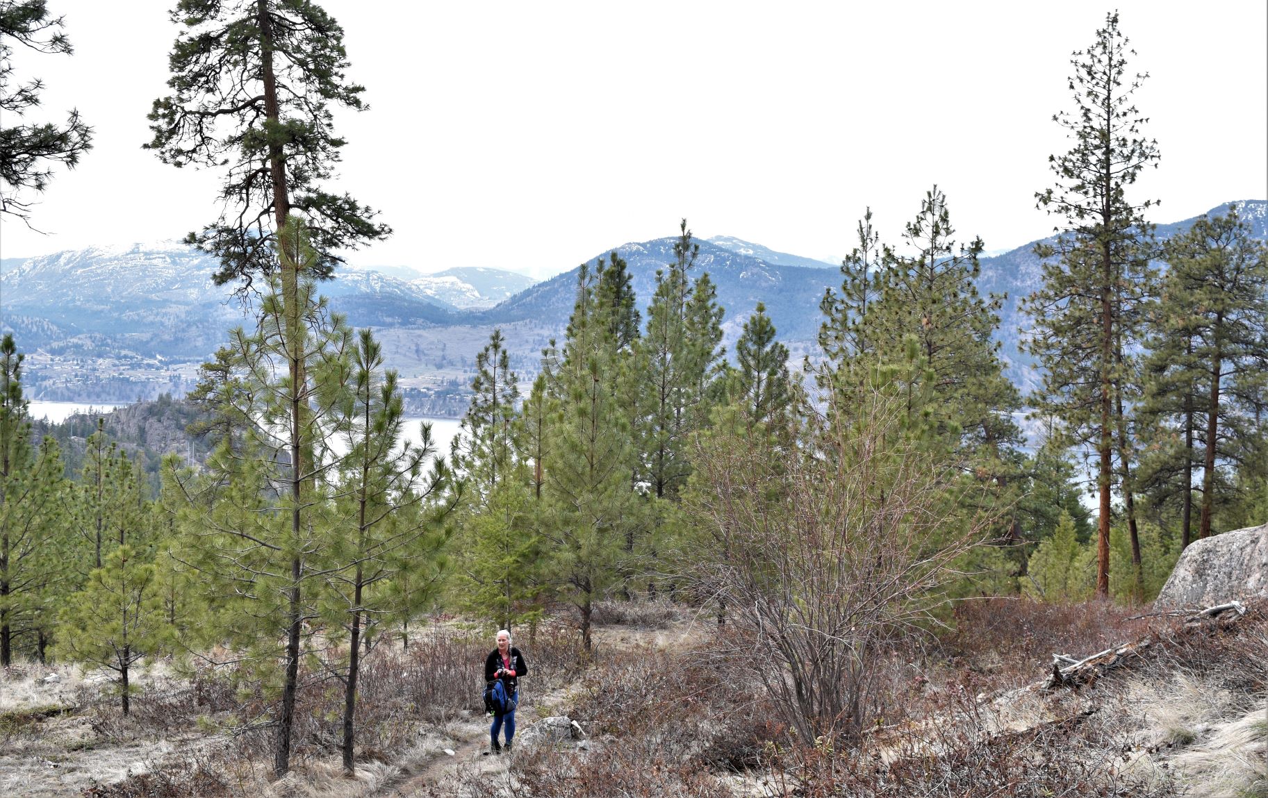
The trail weaves ever upwards, switchback after switchback. Not the hard slog that a lot of these trails can be…….more of an uphill meandering..!!! With some lake vistas and impressive rock structures of the bluffs as the trail winds around them.

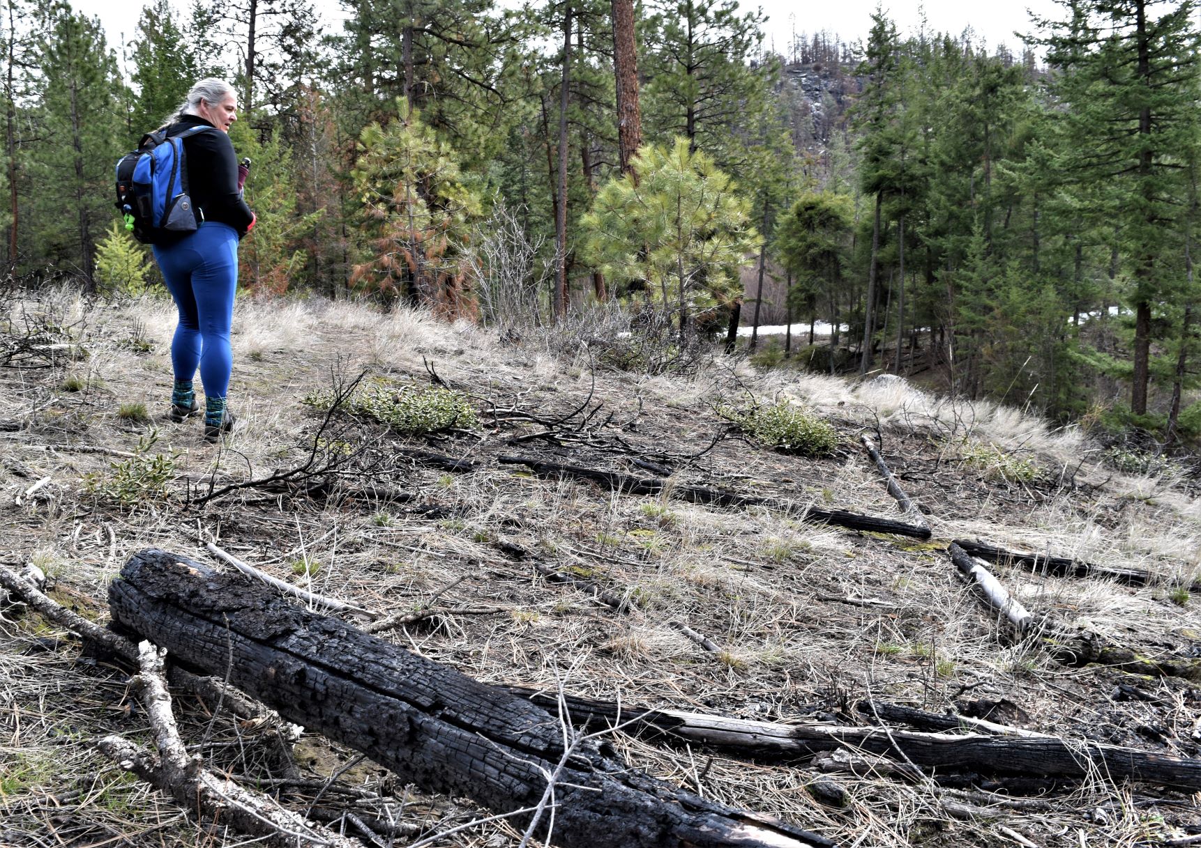
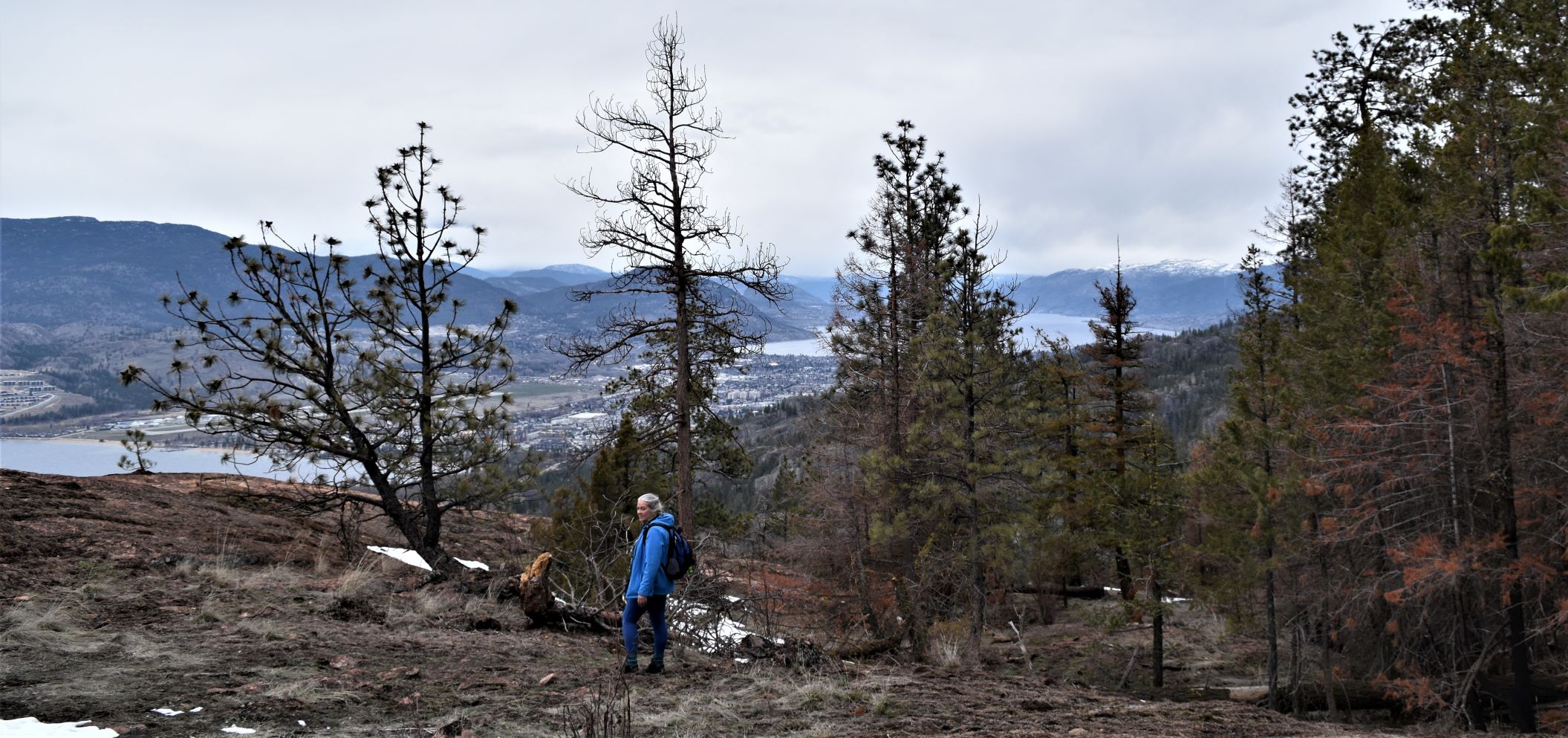
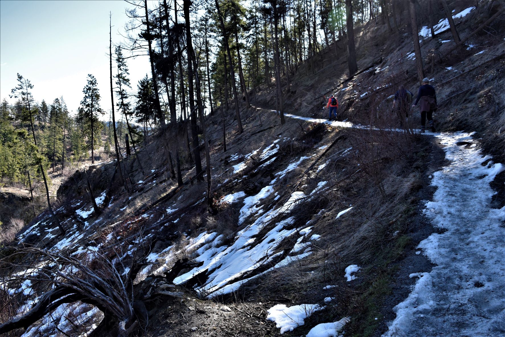
Eventually we got to the start of the burn. At the edges it is small areas where one or two trees are charred….and a few around about show signs from the heat stress…..but fairly limited damage.

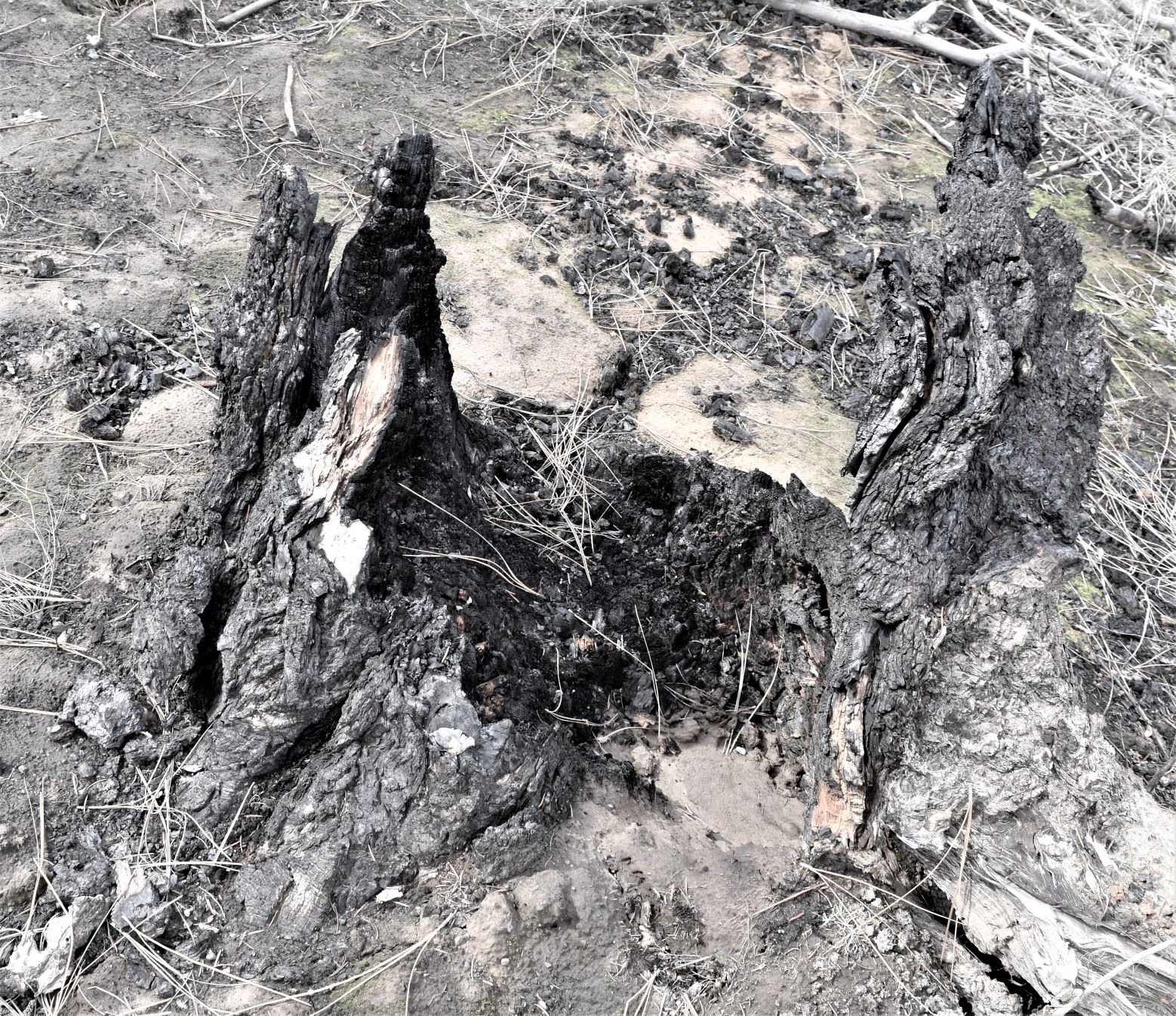
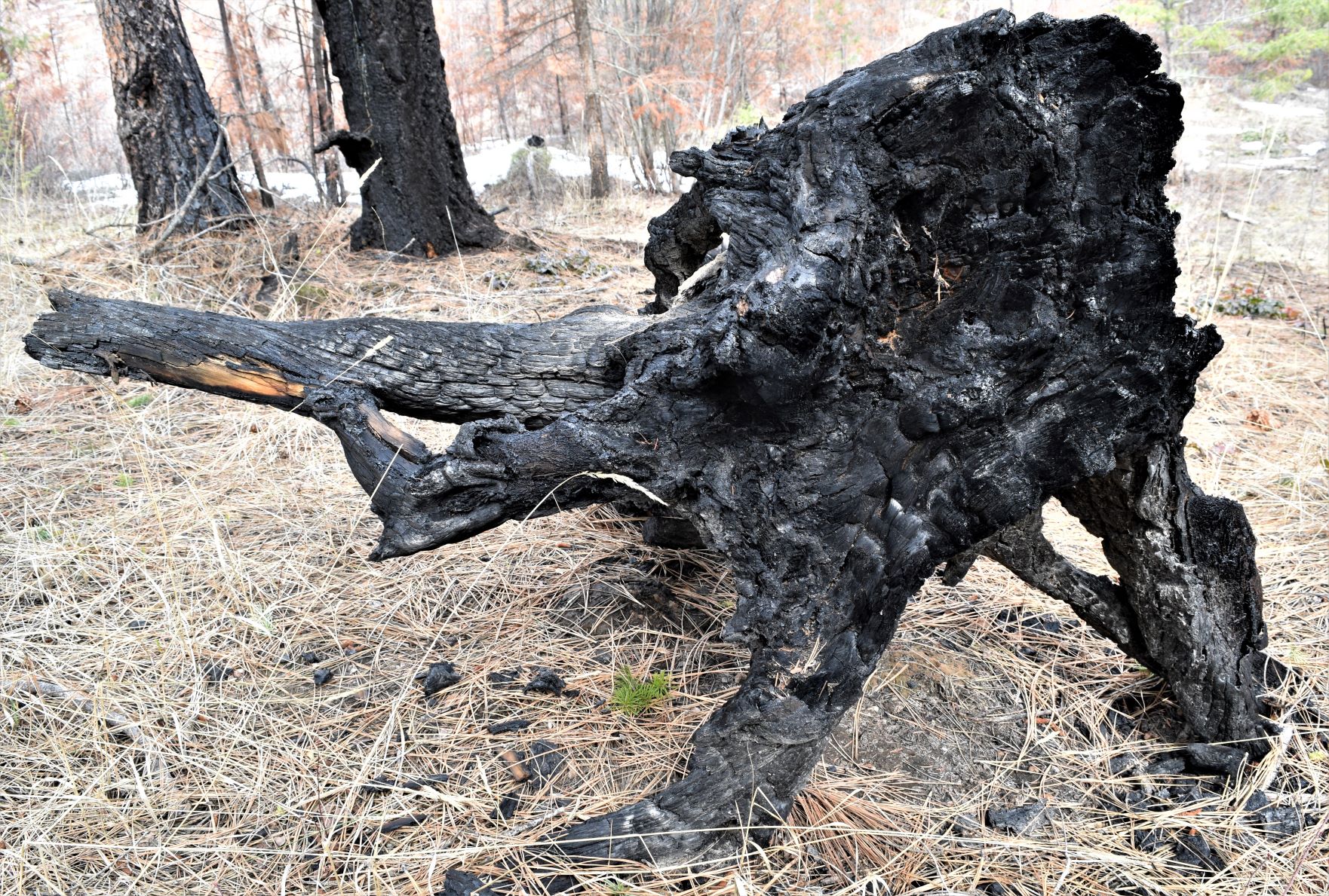
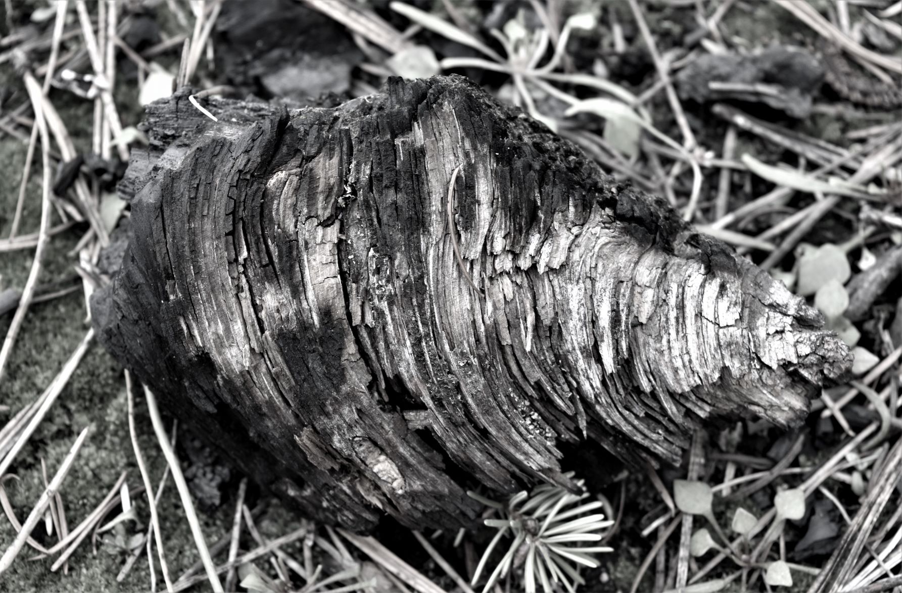
There were odd holes in the ground…….we realised it was where large trees had burned and smoldered until the entire root system burned to ash. We assume that at Skaha the wind carried a lot of the ash away…(unlike the burned areas in Cathedral park where the ash lay thick around the area.) Anyone who has ever burned out a tree stump is probably familiar with this…but it was all new and fascinating to me…!!!

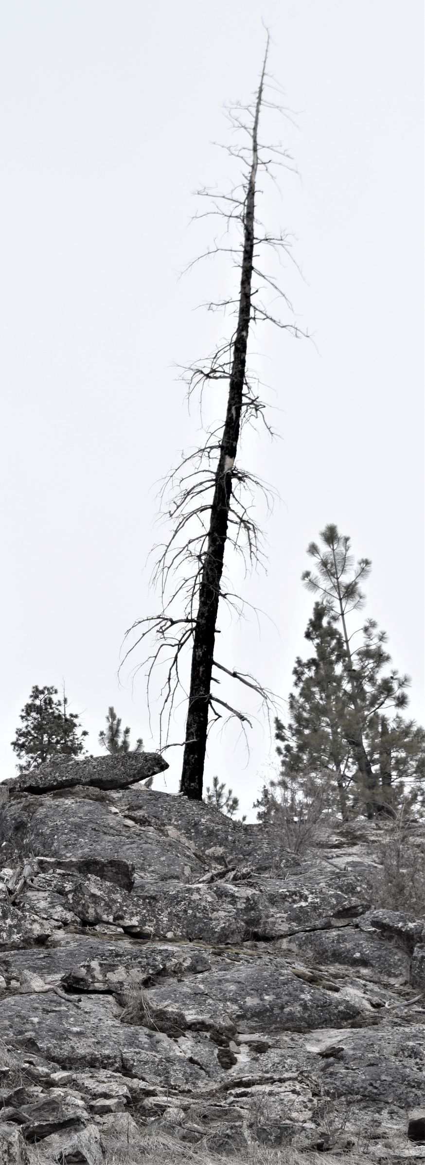
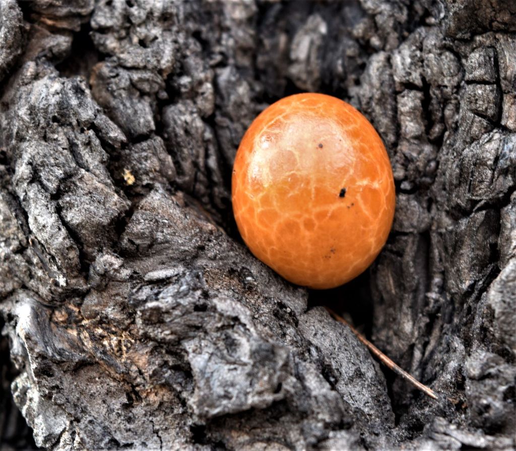
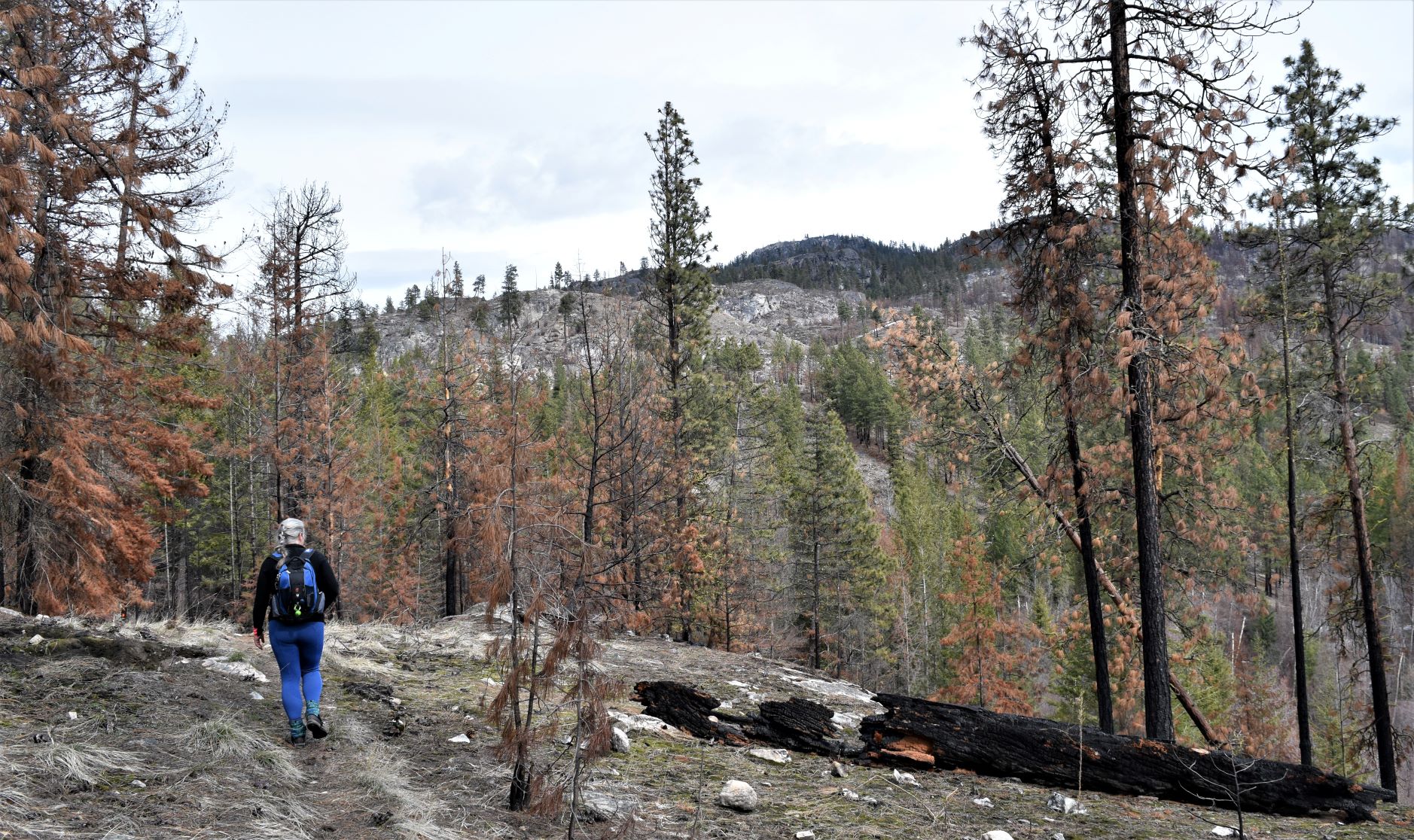
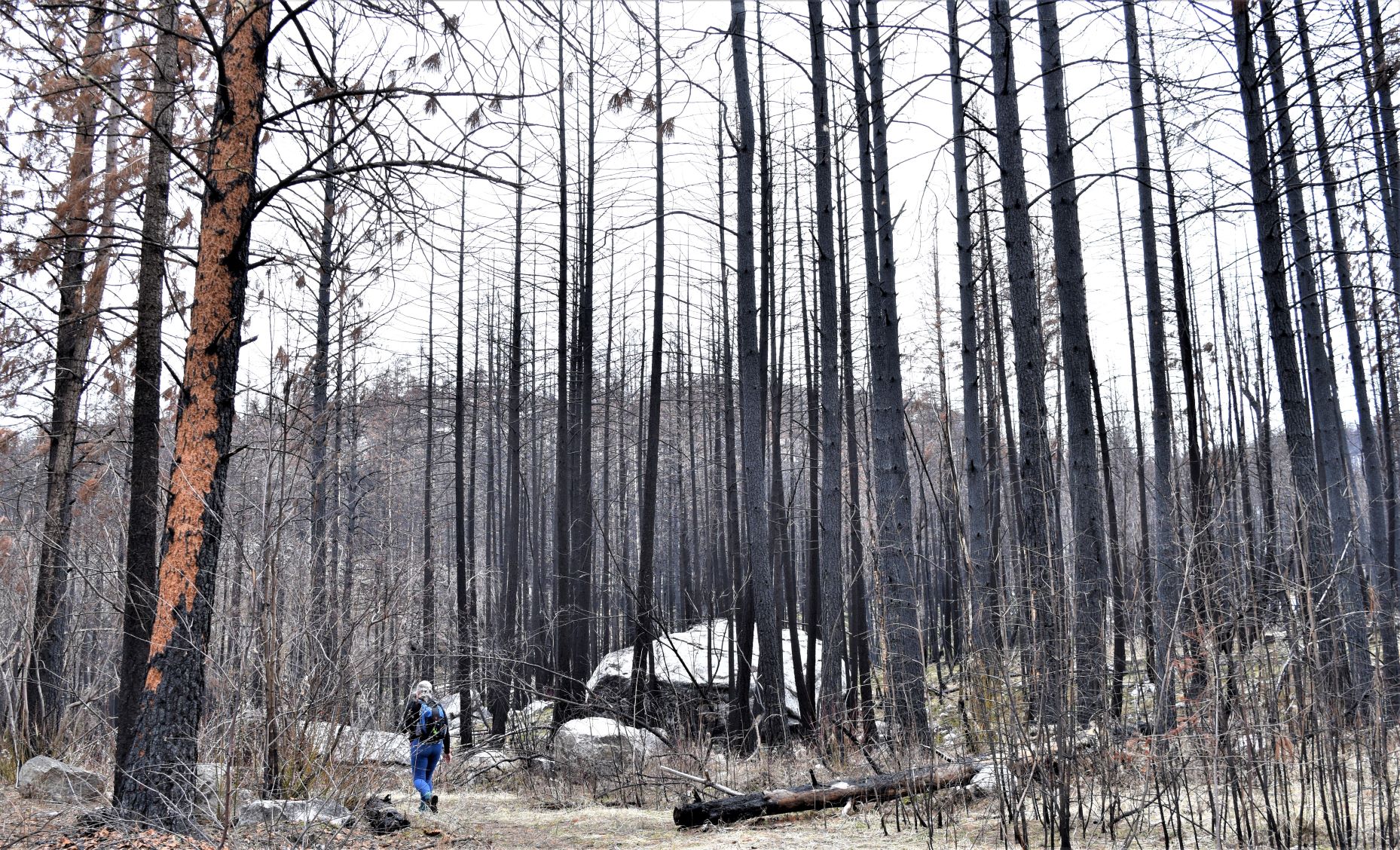
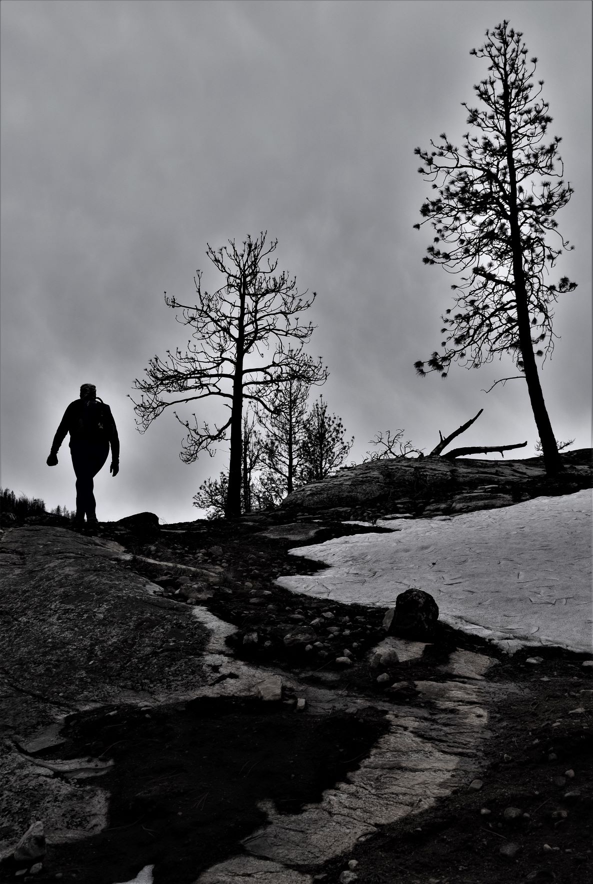
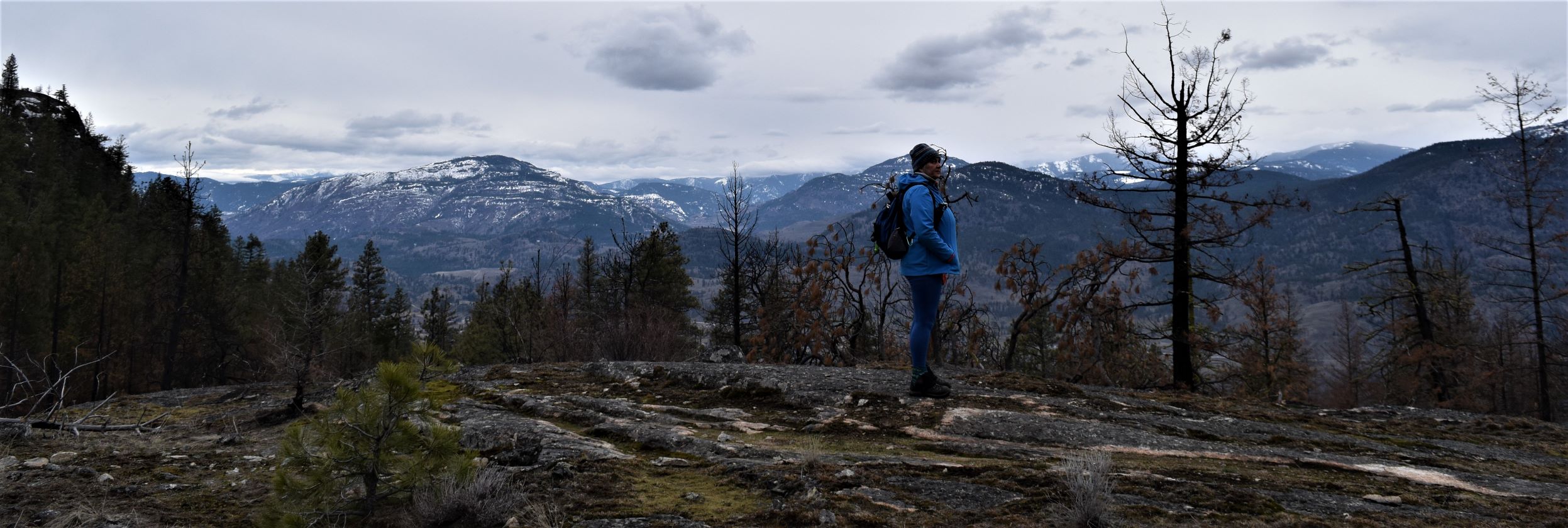
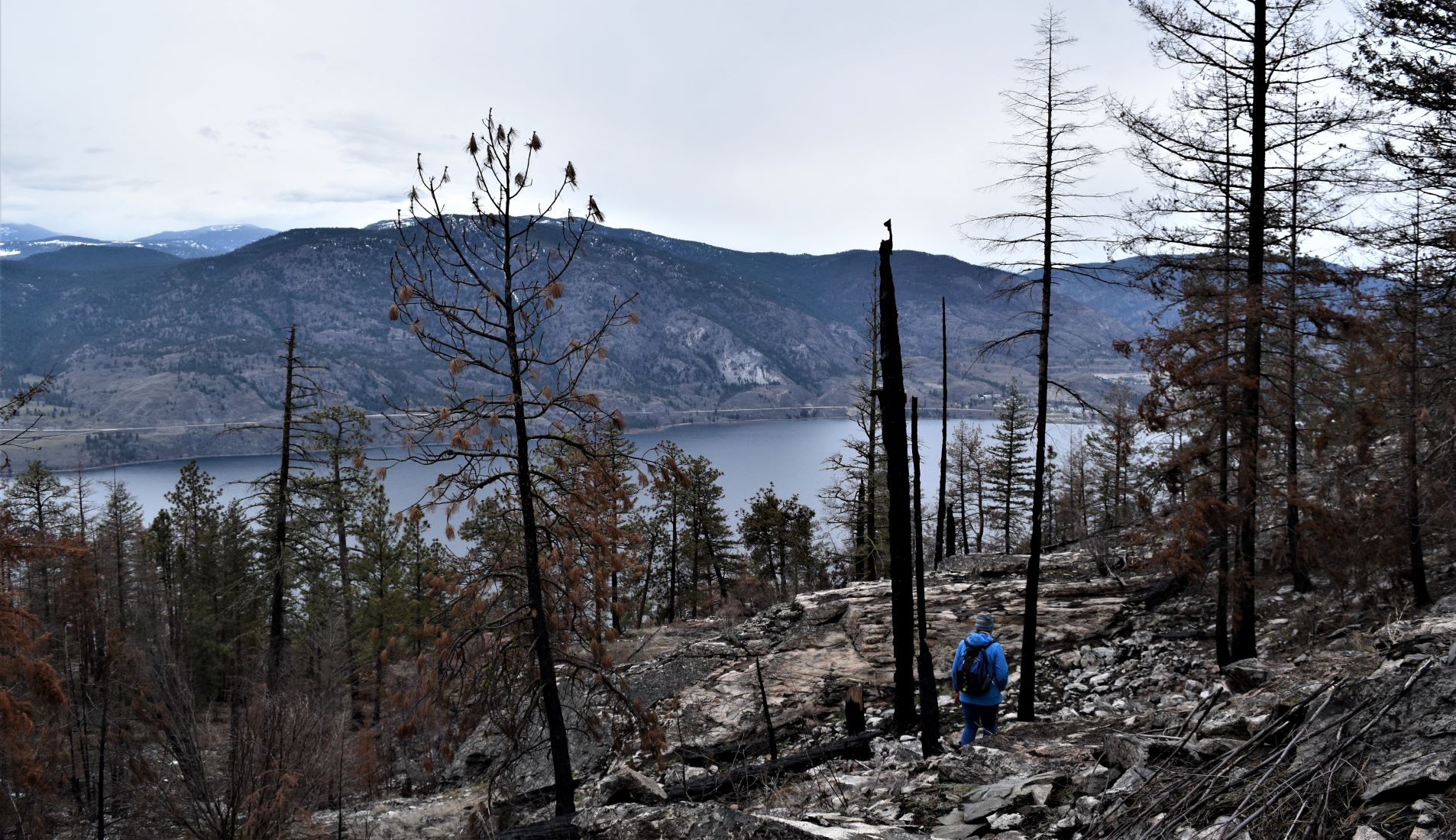
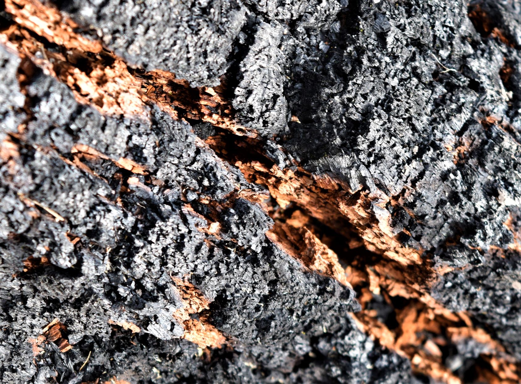
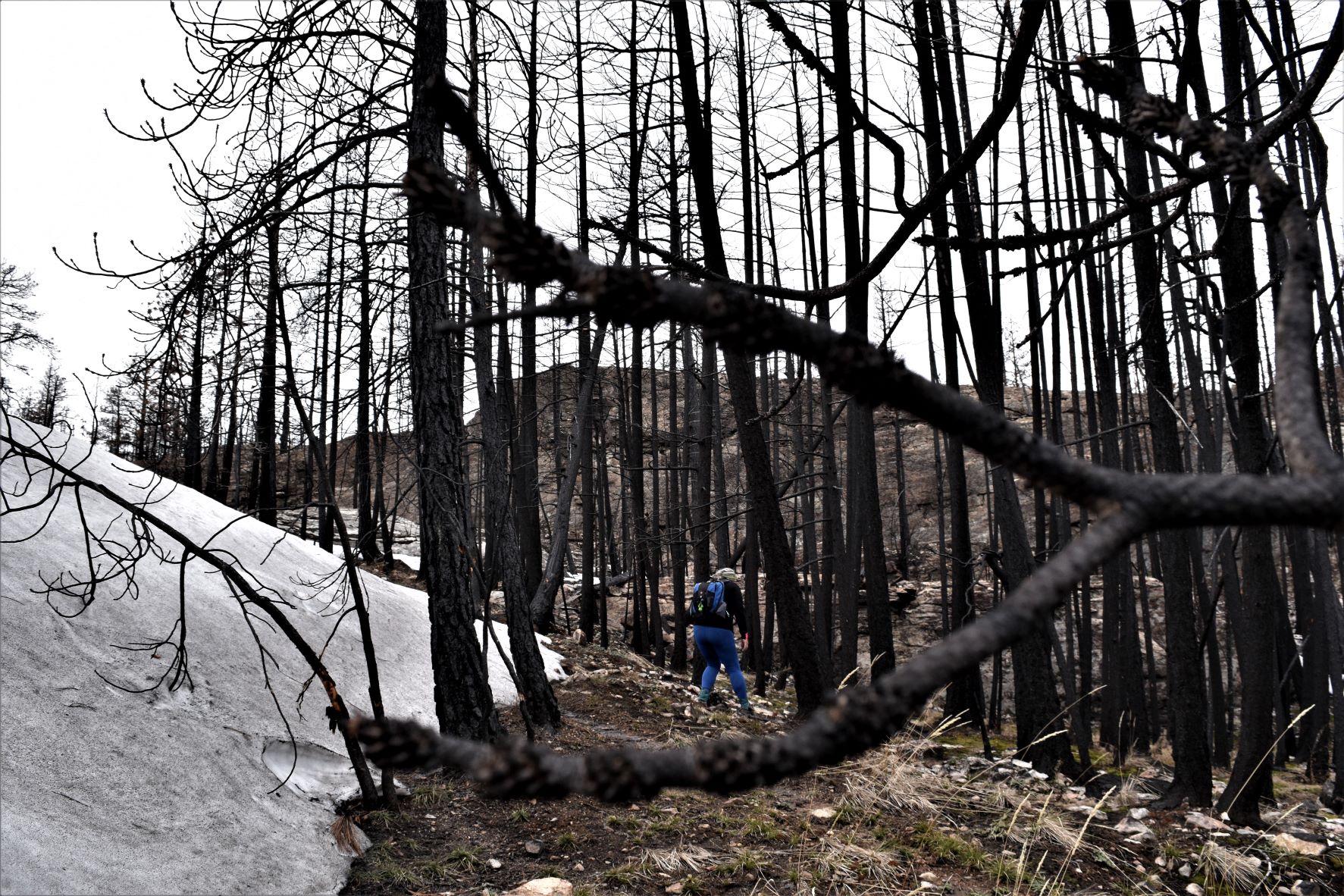
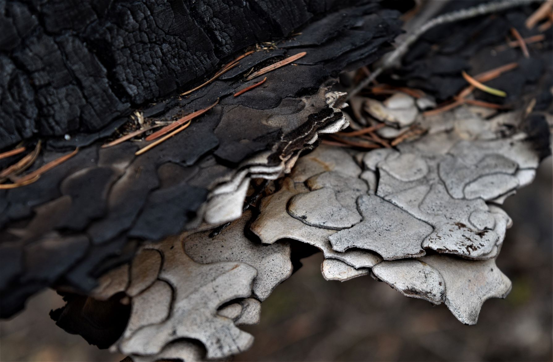
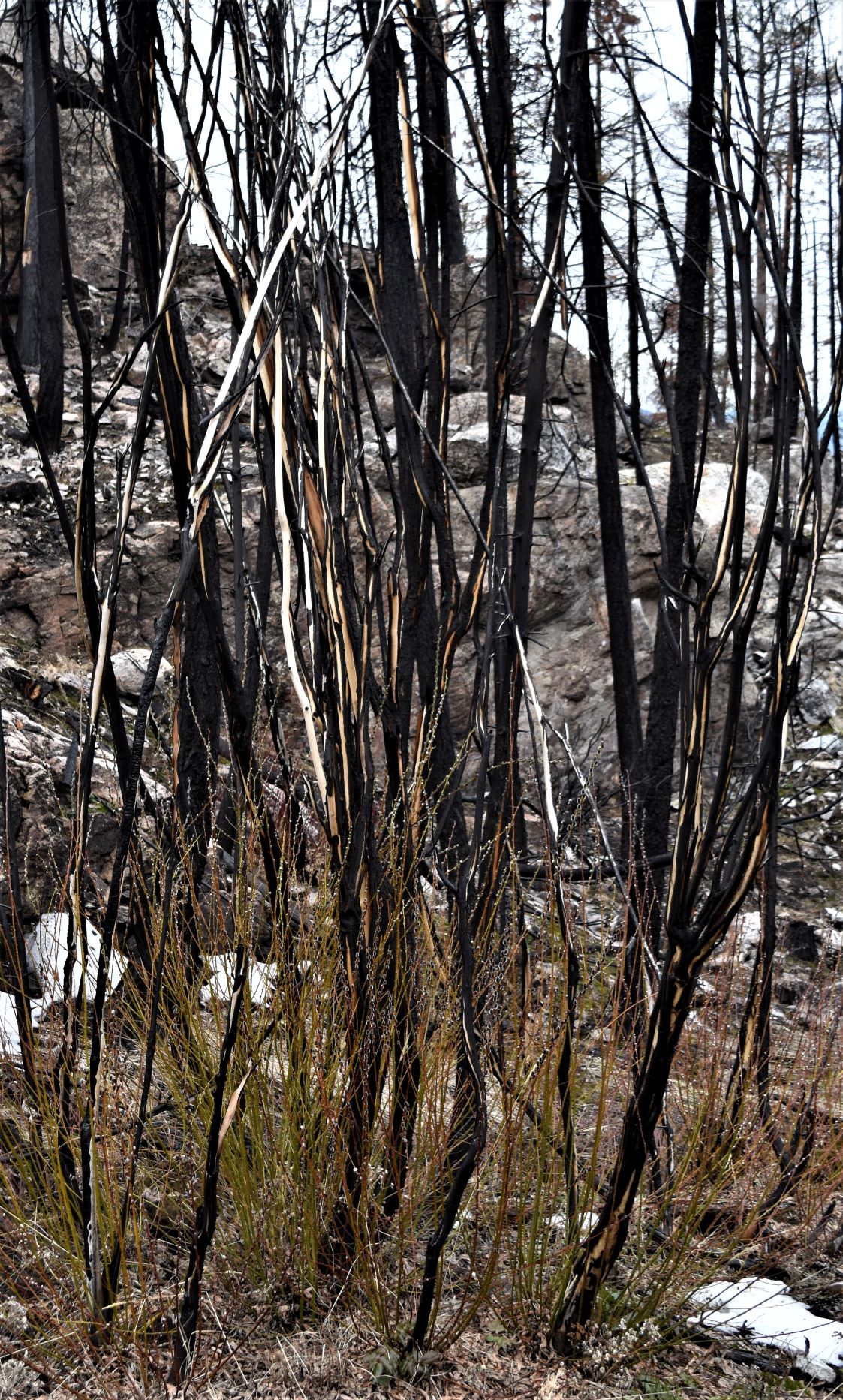
Persevering up the trail led us through a more devastated part of the burn. Spooky forest. You could see the scalding the rocks had taken. On of the big trees by the path had burned so hot the sap boiled out leaving its burned shell covered in large orange beads. Almost alien looking.

Boiled sap…..

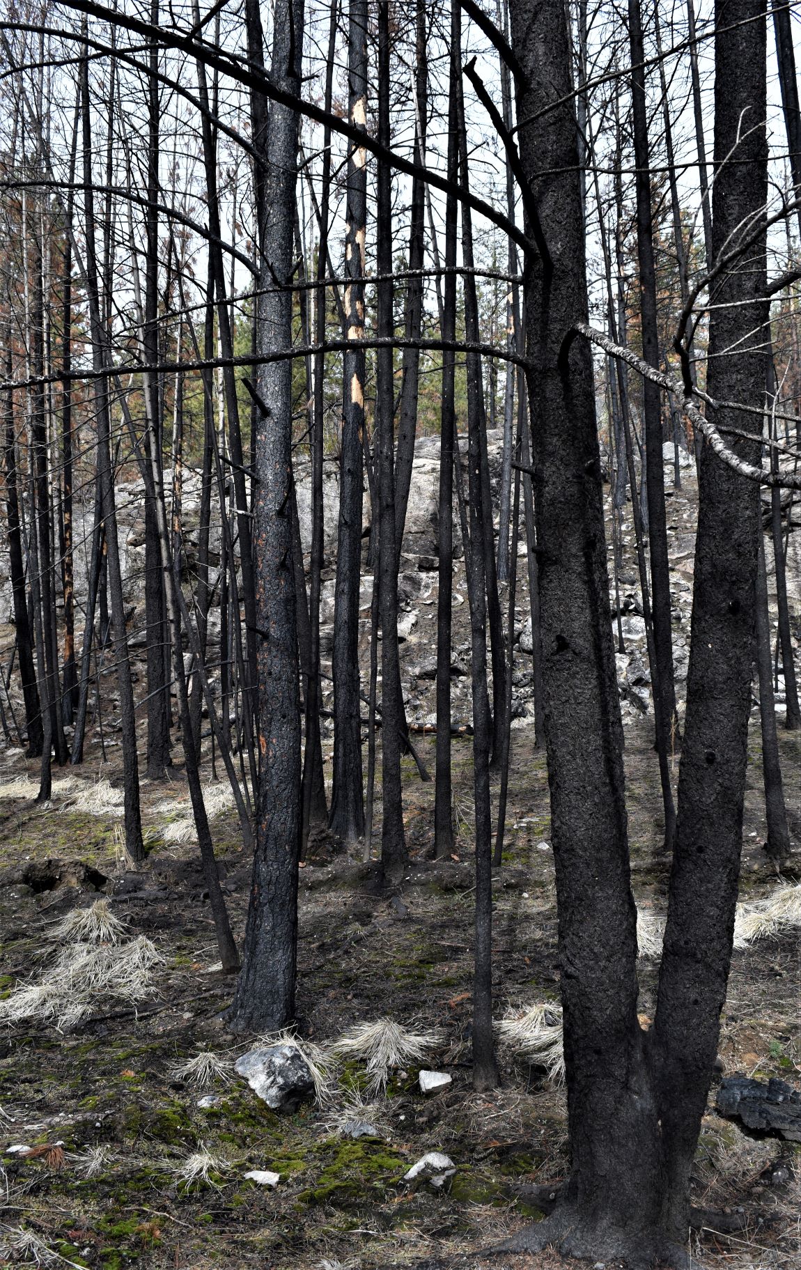
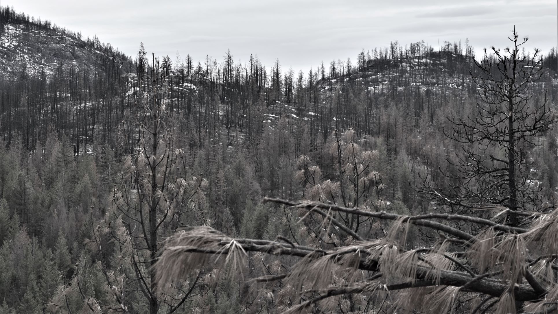
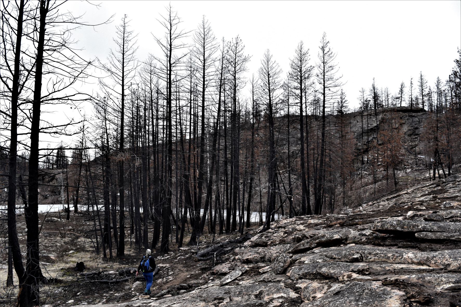
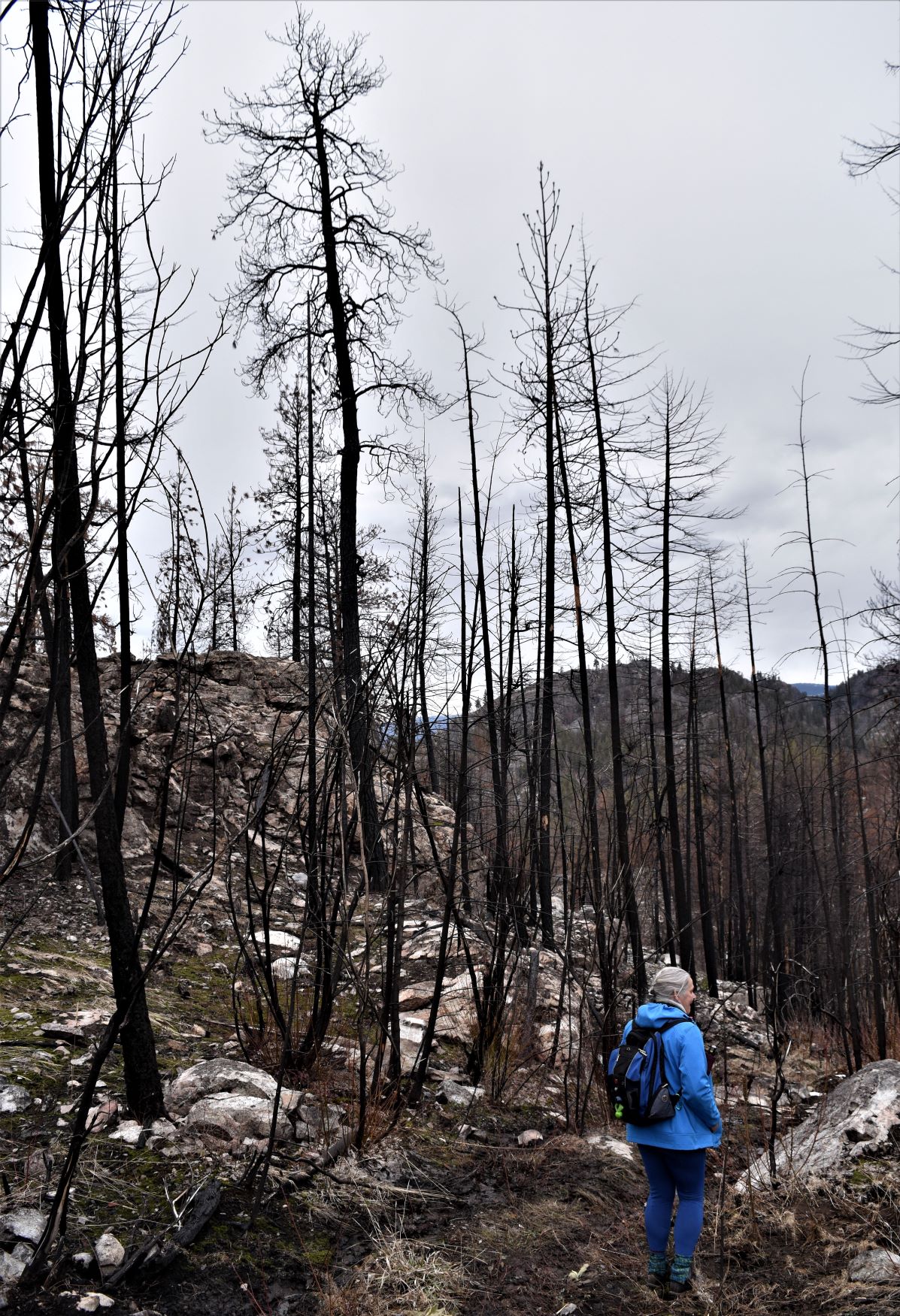
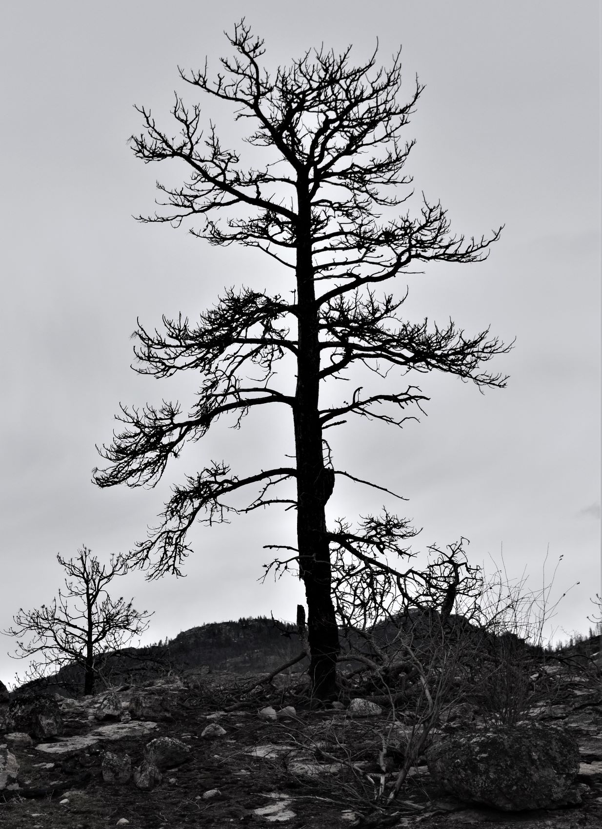
The next section of the trail brought us into the ruined forest. Stark black skeletons and as you look to the hill behind, you can see the burned toothpicks of what was once the forest further up.

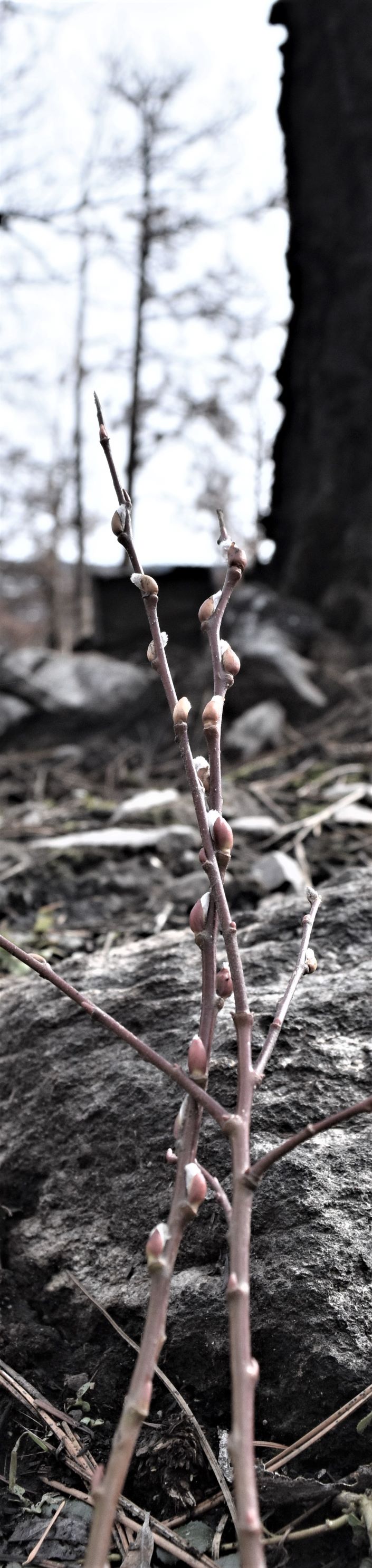
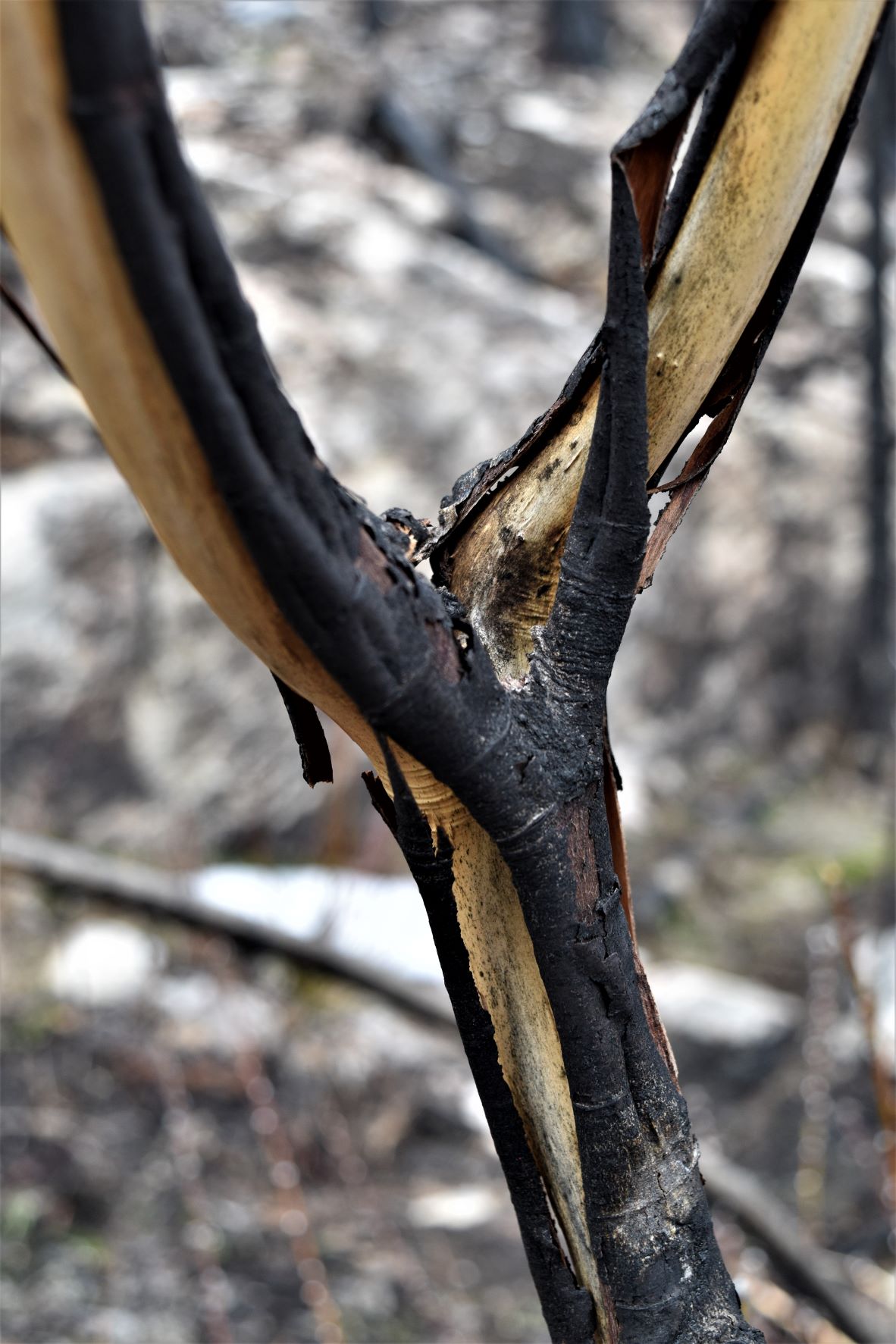
Its fascinating how quickly mother nature ushers in new growth….lovely fronds of pussy willow stretching their way out of the ruined blackened stumps of the willow trees of last year..!!

The far edge of the loop had clearly experienced a fair bit of intense heat. the rocks had a scalded look….and the ground was soft……we had to be careful to stick to the trail as the ground appeared unstable around us at times……and there were the gaping holes where the tree roots used to be.

It got noticeably colder partly because it was an overcast day, but mostly because of the elevation and the complete lack of shelter from the non existent trees. So the coat and hat went back on…..

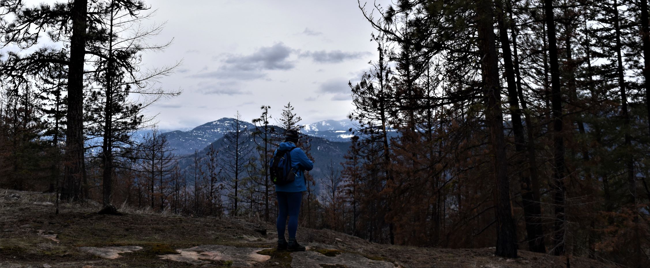
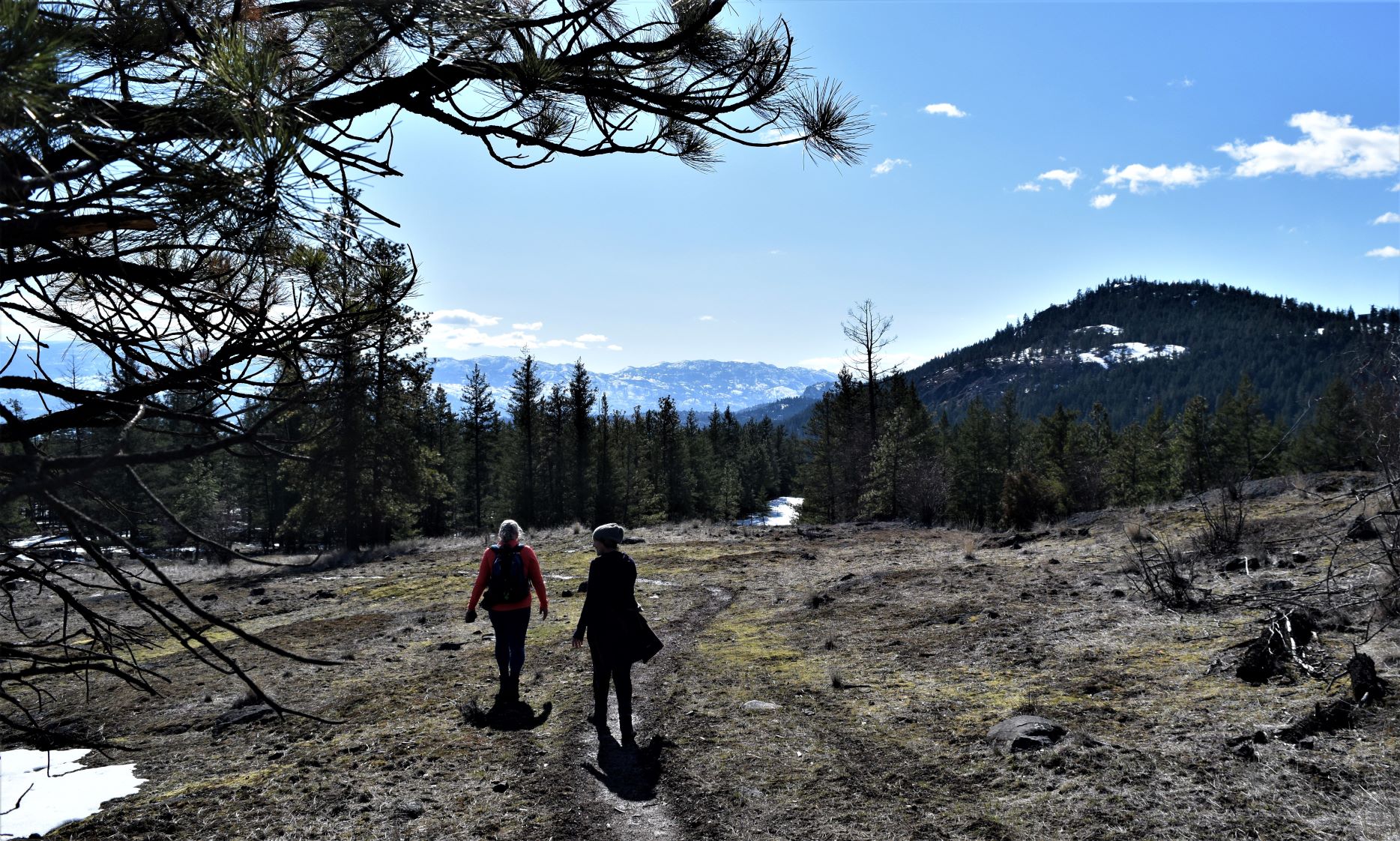
The outer loop took us back around to the lake side of the rocks, rewarding us with some pretty spectacular views both down Skaha, and up Okanagan.

There was a bit more burn on the other side too….but not nearly as severe as the other side of the ridge. Another impact of so much tree death is much more soggy ground….soft, soft ground without the vegetation to suck up the moisture and stabilise the ground.

A long walk, a good walk….and some interesting sights.

It was a bit hairy up around the far end of the loop, but I was very pleased to have been up into the burn area. It’s so not what you expect …..your imagination has an idea of what you will see……but the reality is that just as much as the visual feast around you is the feeling of being there. The quiet, cold desolation was new, with soil underfoot where all the leaf litter of the forest floor had burnt away.

I hope you find it as interesting to see this very different sight, a variation on the beautiful vistas we usually show.

Extra pix.

March 13th. Giants Head, The Grind

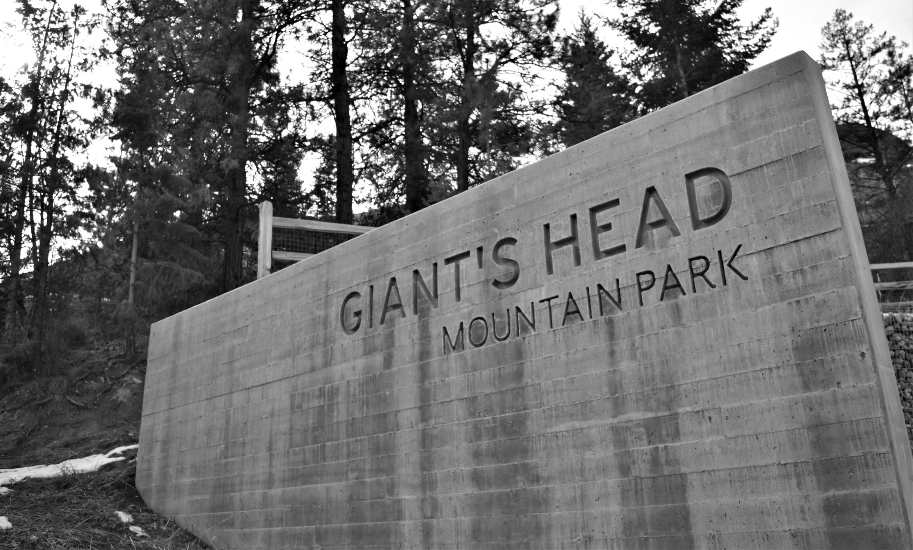
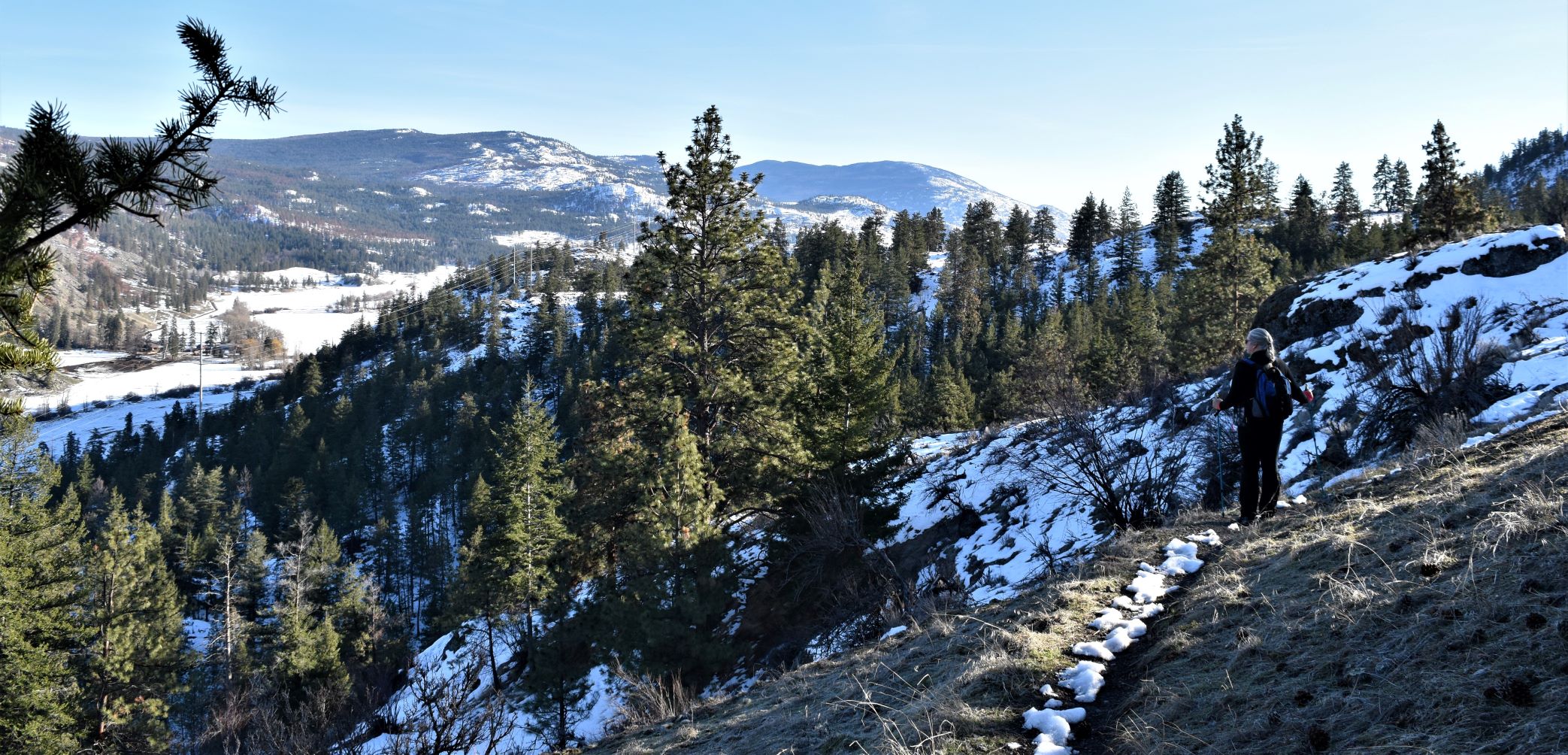
Giants Head was a trail that we had dismissed in the fall as being shorter than we liked. Based on the recommendation from Deb and Keith…the guys we met up Conkle Bonk.…..as being the grind that the name promised…we thought it might be worth the challenge.

Looking at it from the Trout Creek and Summerland Trestle hikes drew us to it….so today was the day.

The road up to the trailhead was again one of those straight up ones…that would have been impossible in the winter weather without chains…or studded winter tires..!!!

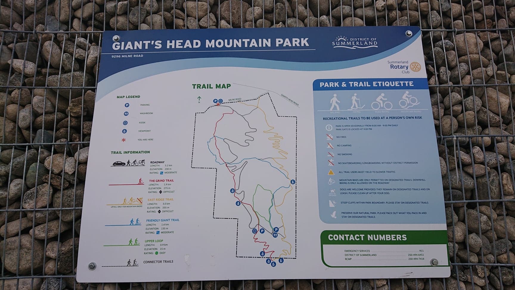
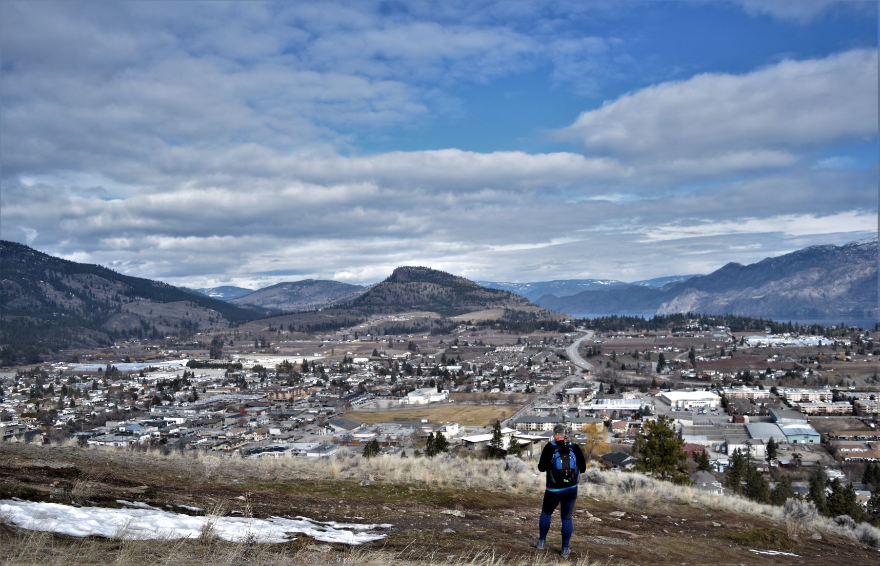
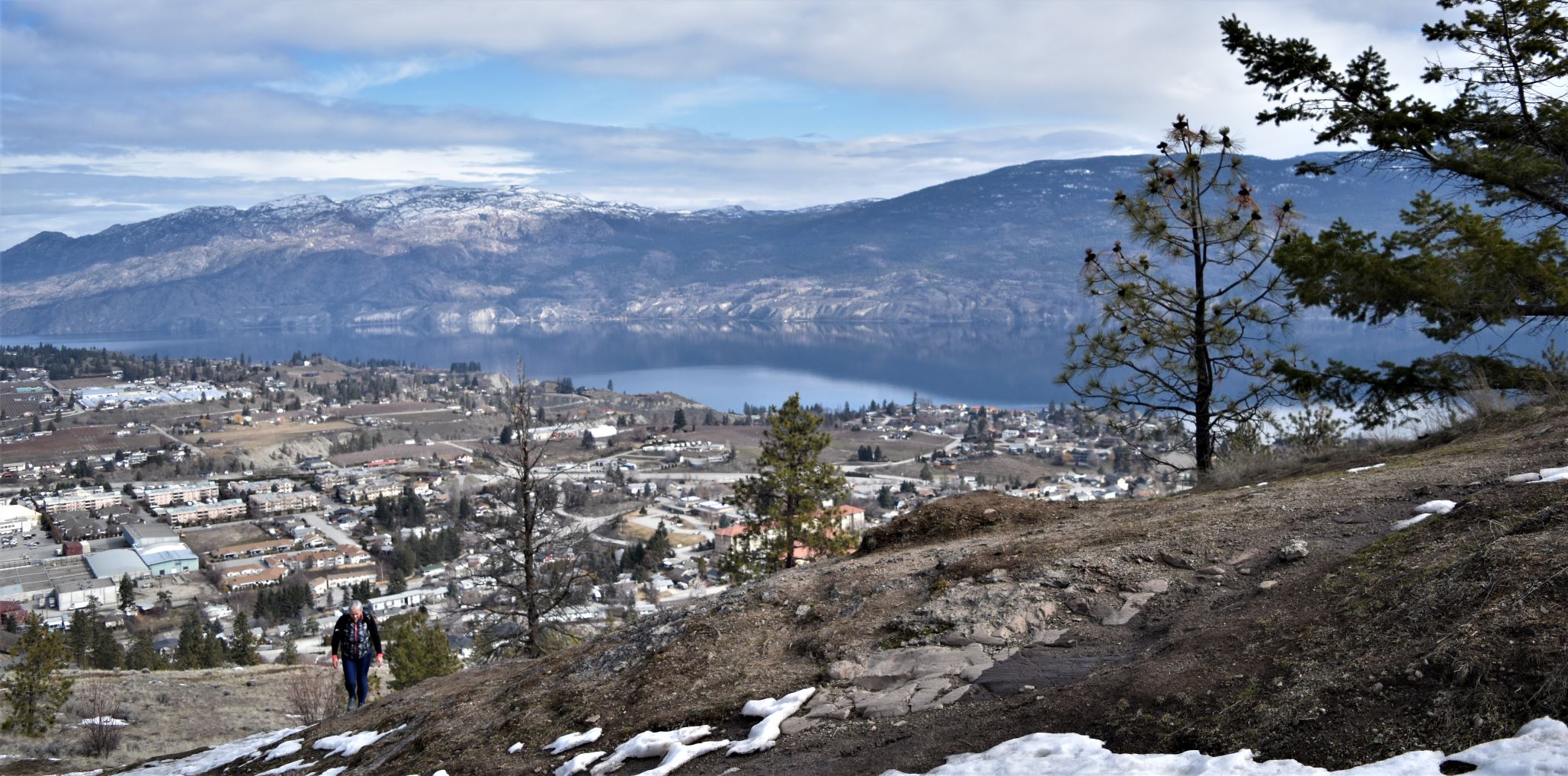
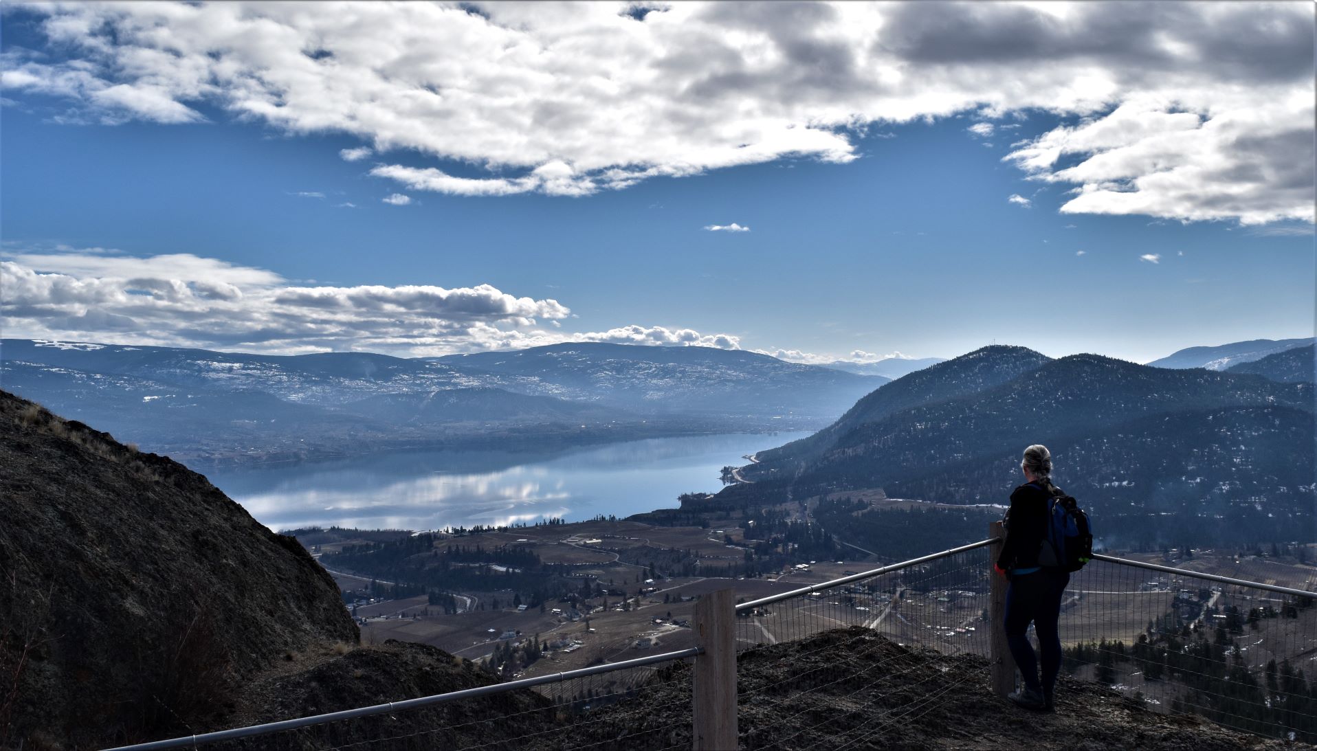
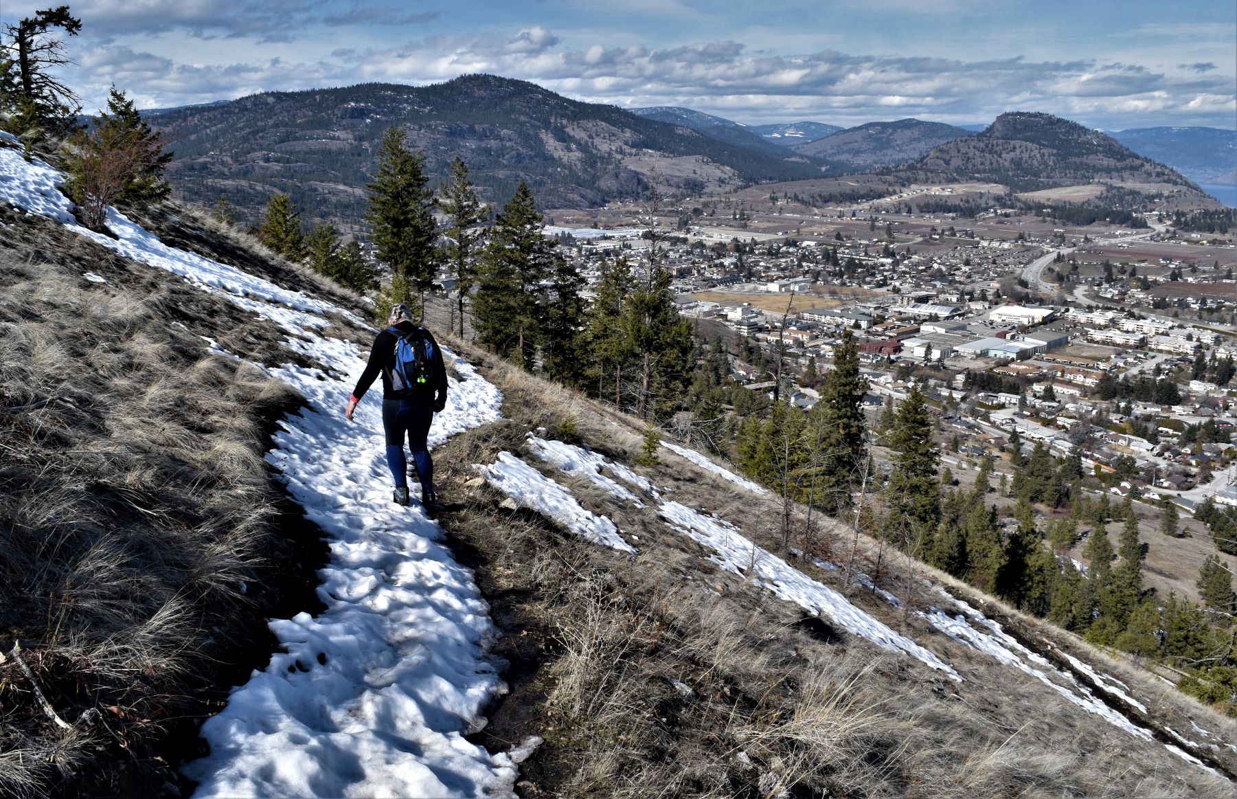
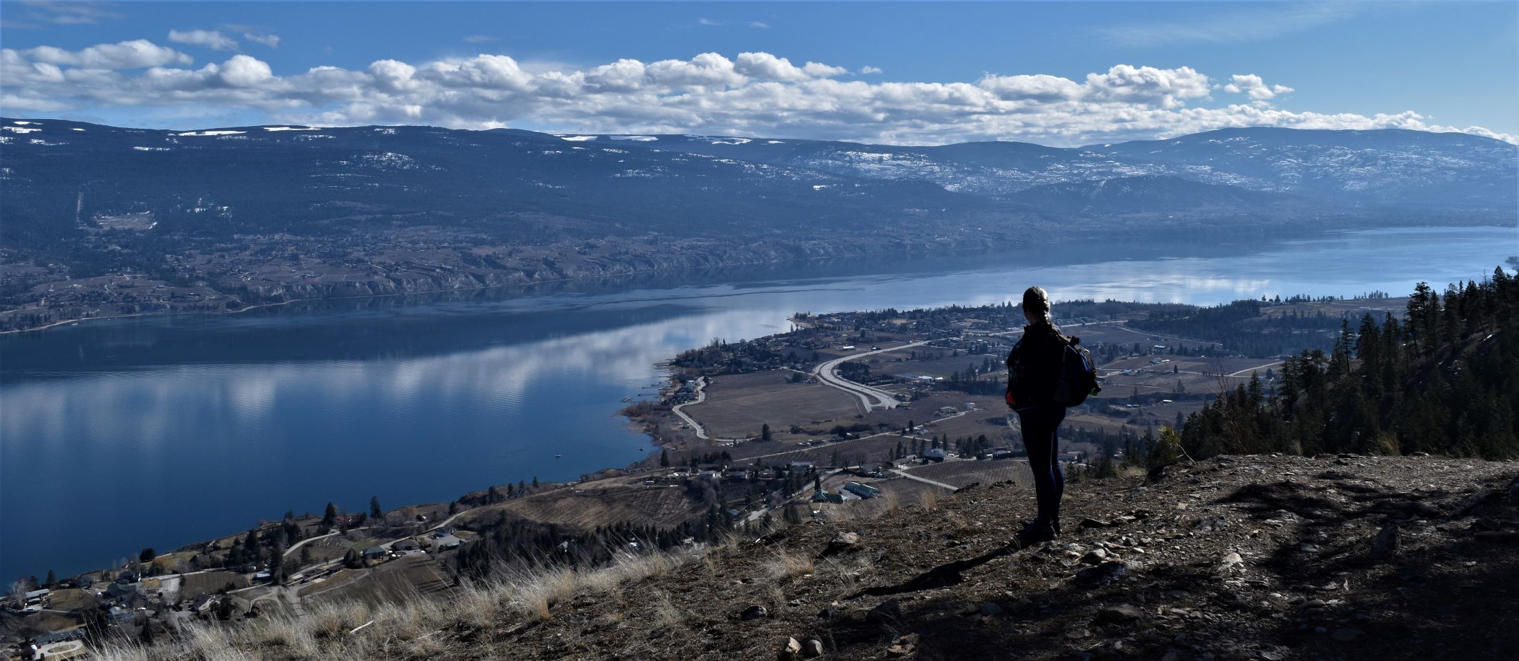
The trail starts off with a bit of paved road…..and then diverts off at 90 degrees…..straight up the hill. With Summerland below you…its quite the sight.

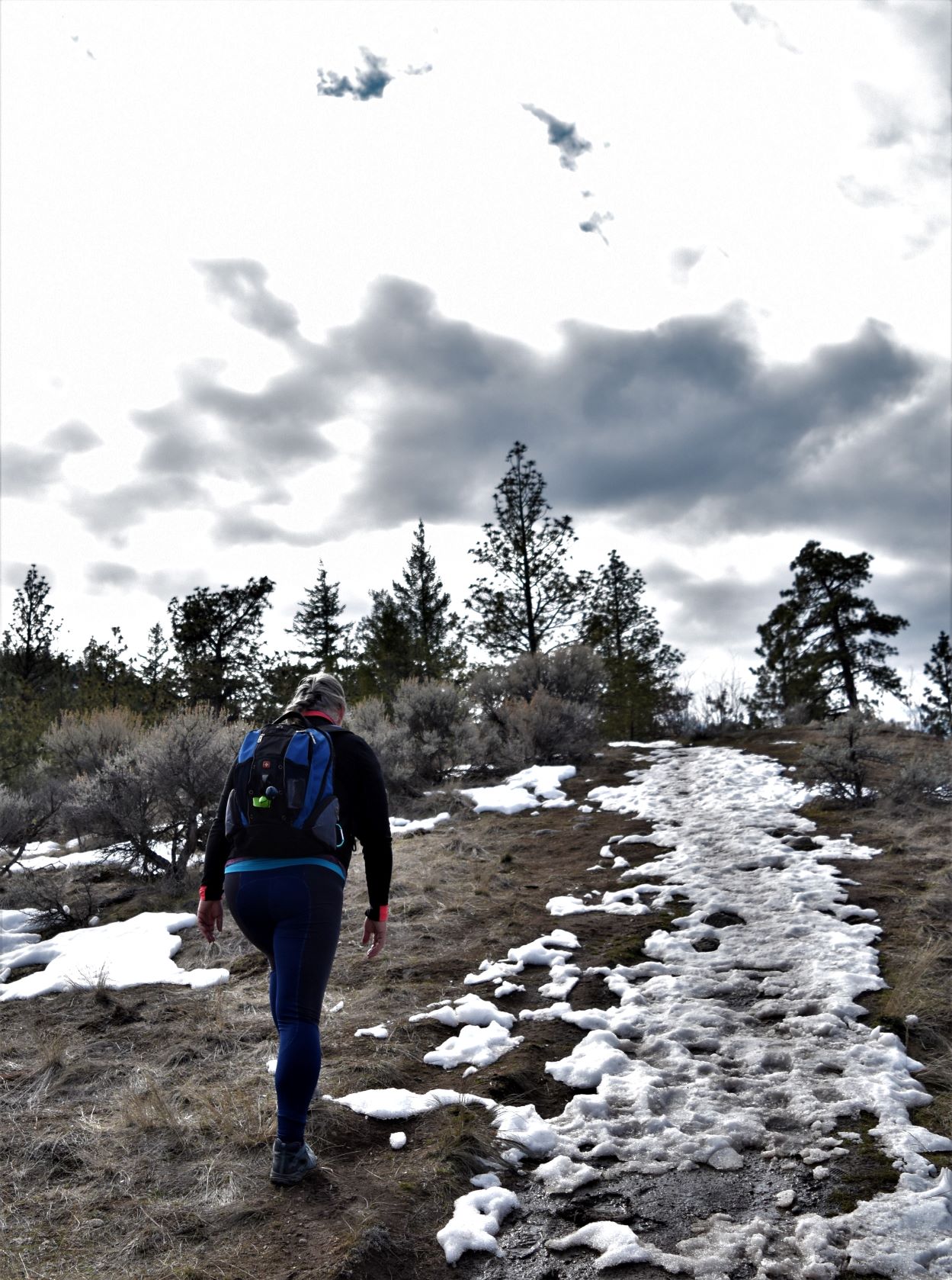
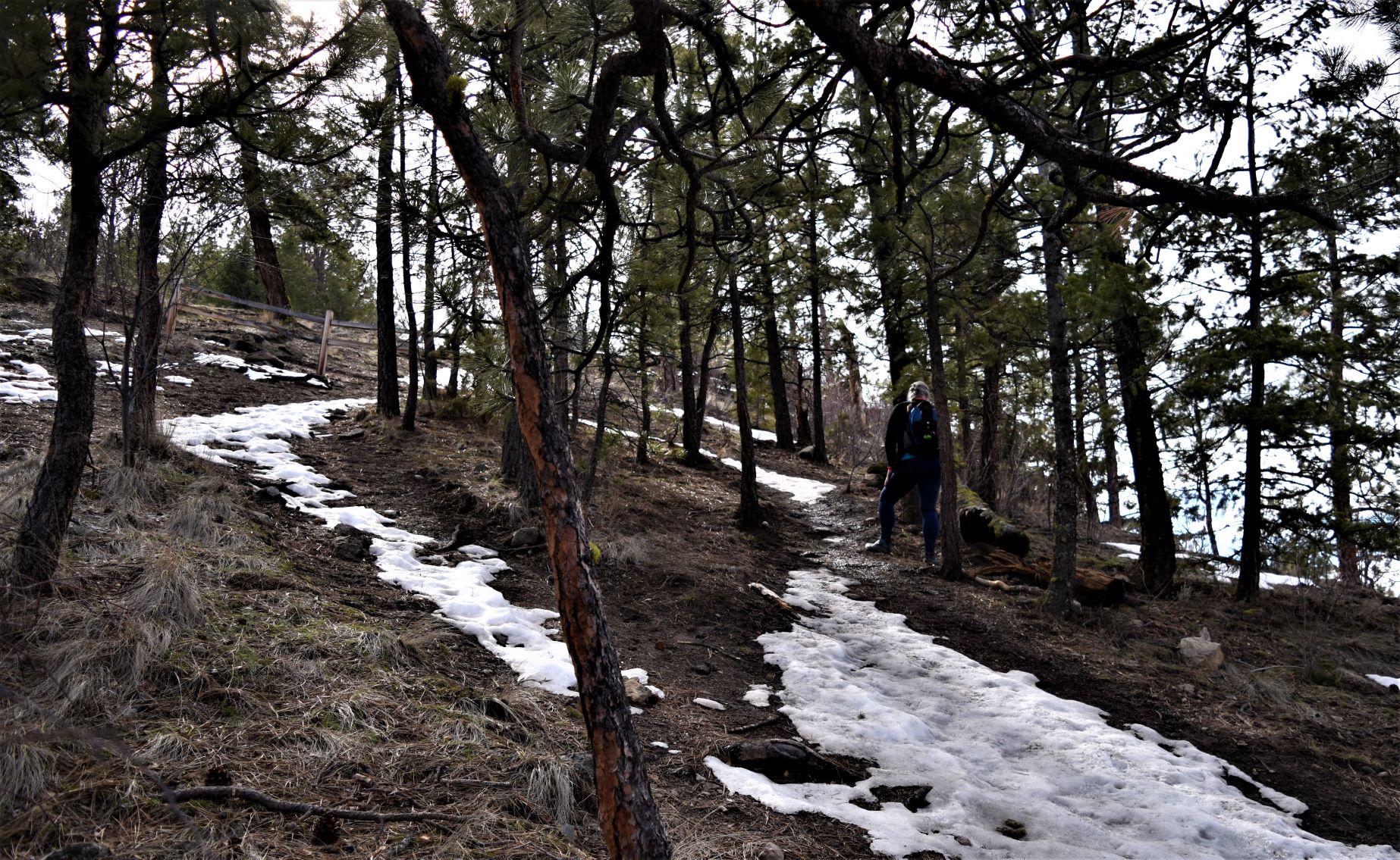
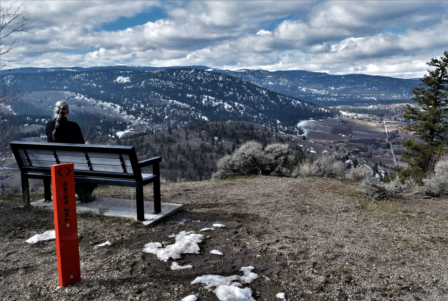
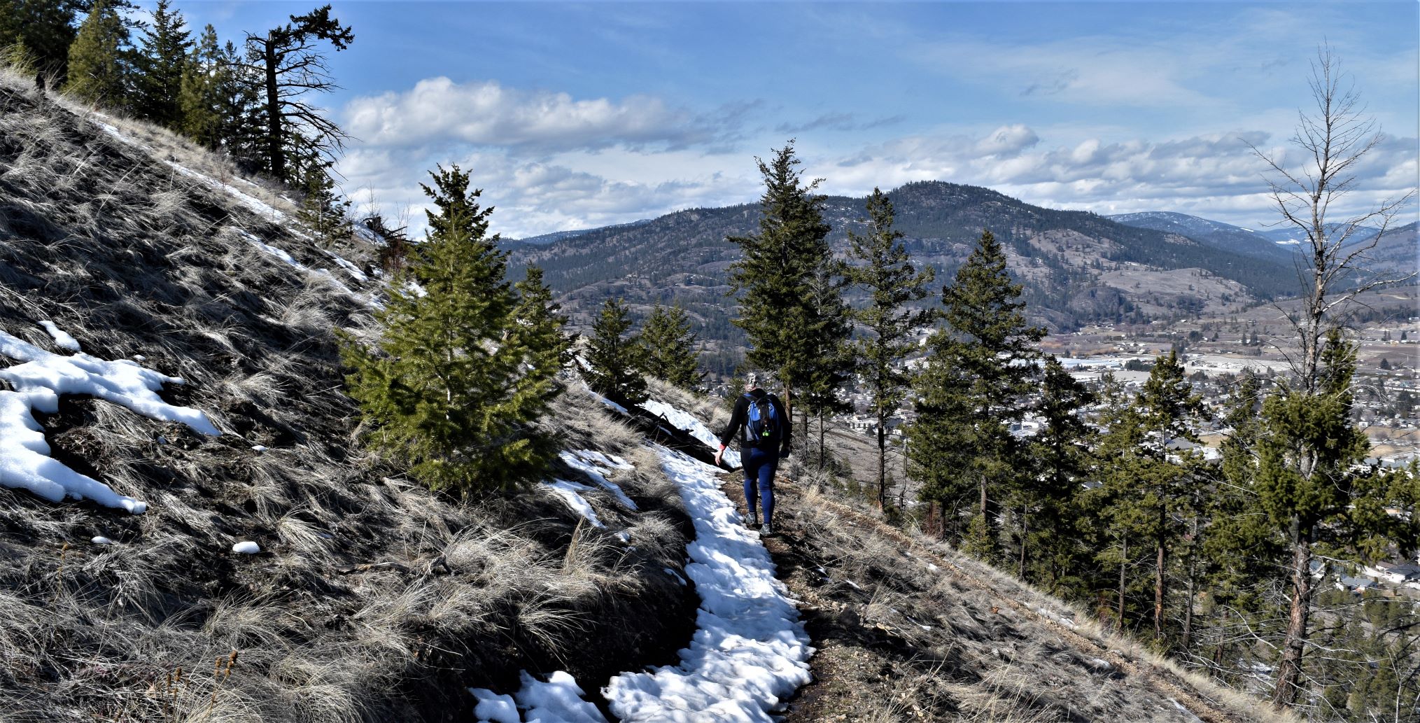
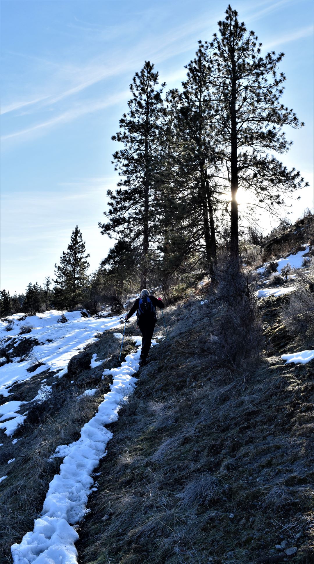
And grind indeed it was. The uphill slog lived up to its promise……but like all the best slogs…its rewards were bountiful.

It was coolish when we started out….so I started with my coat on. That lasted about 5 minutes on the hill. For some reason it became very warm…!!! And thankfully the view was a great excuse for frequent stops…!!!

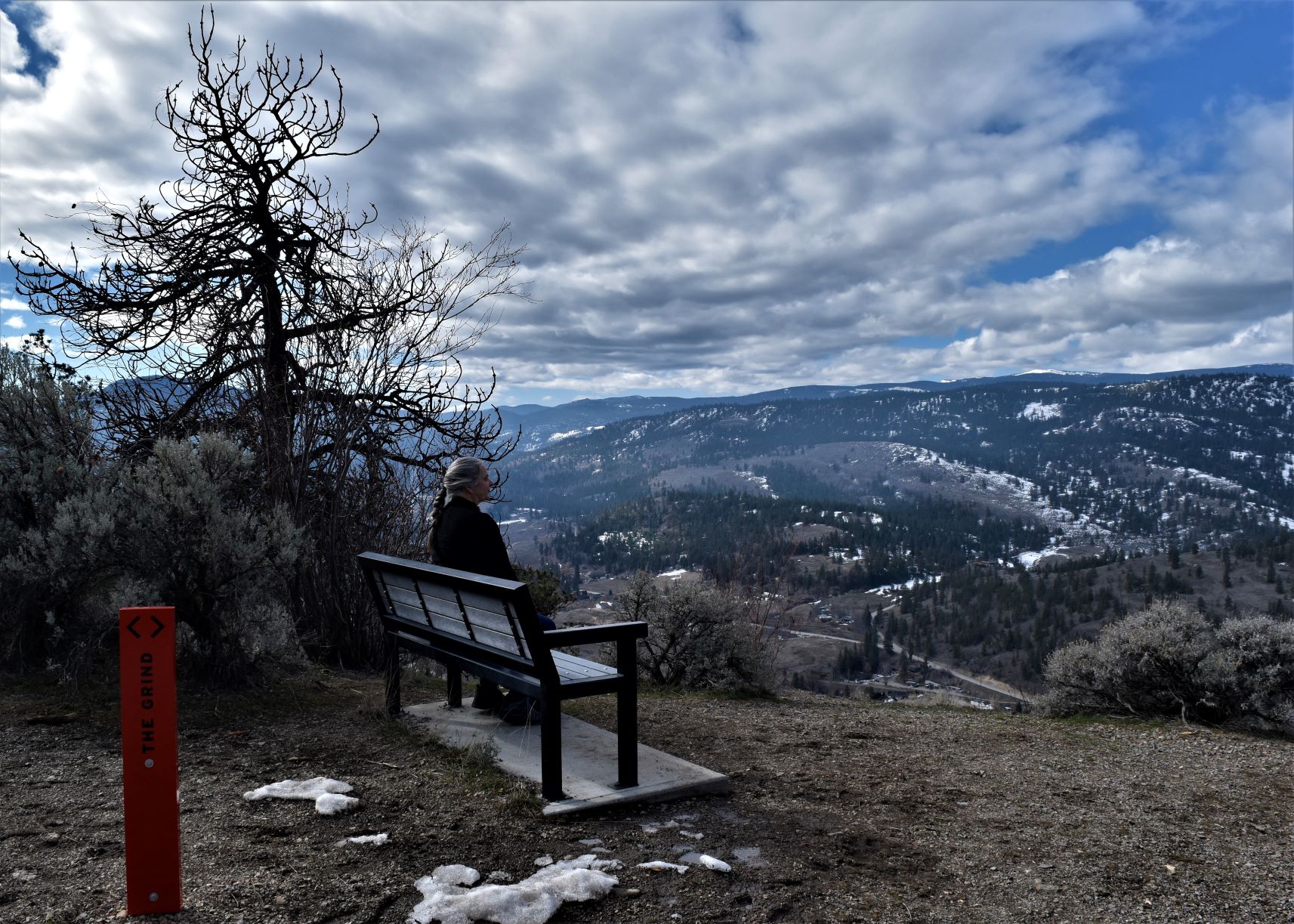
….and a couple of well placed benches on the way up…..

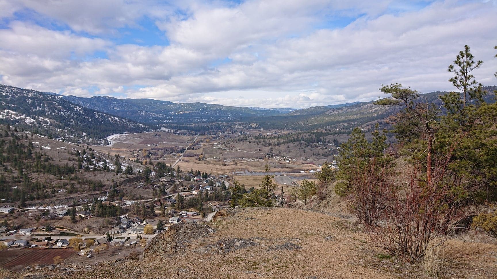
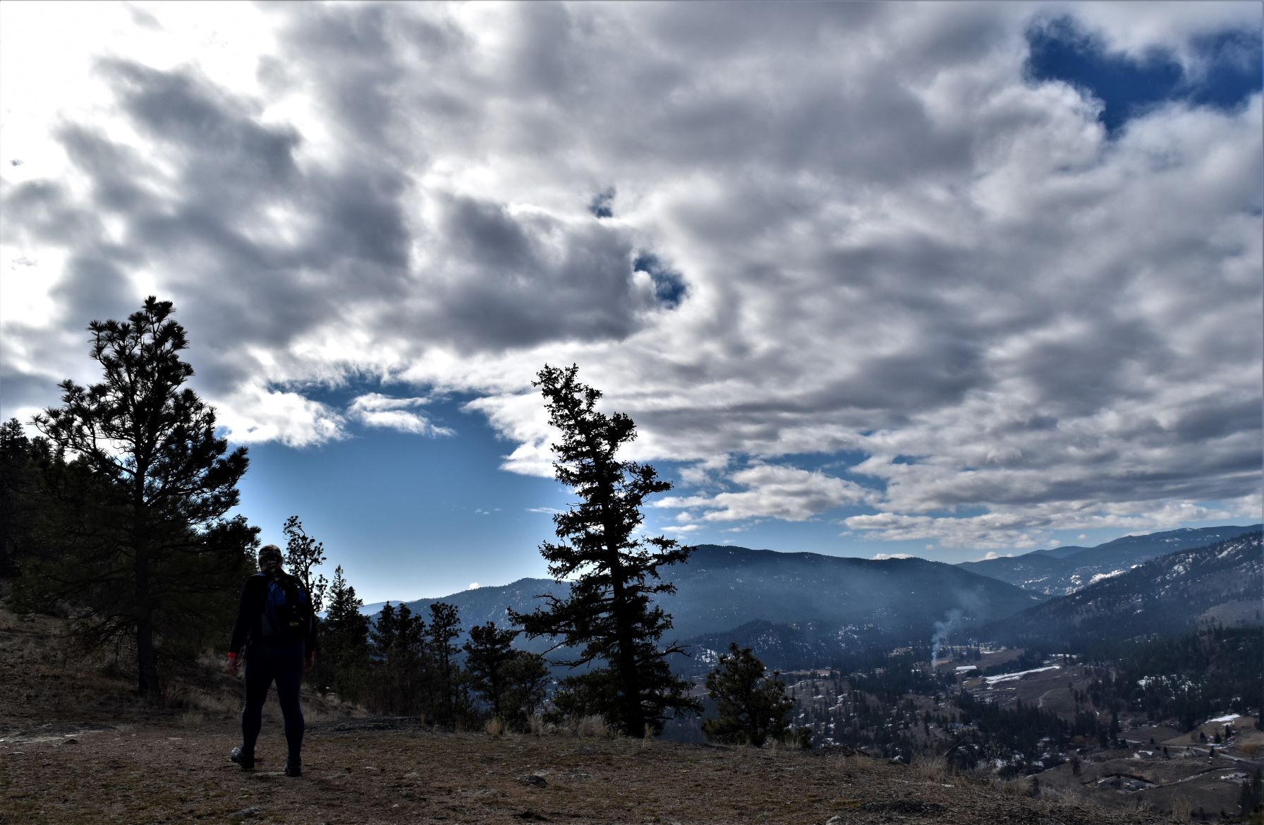
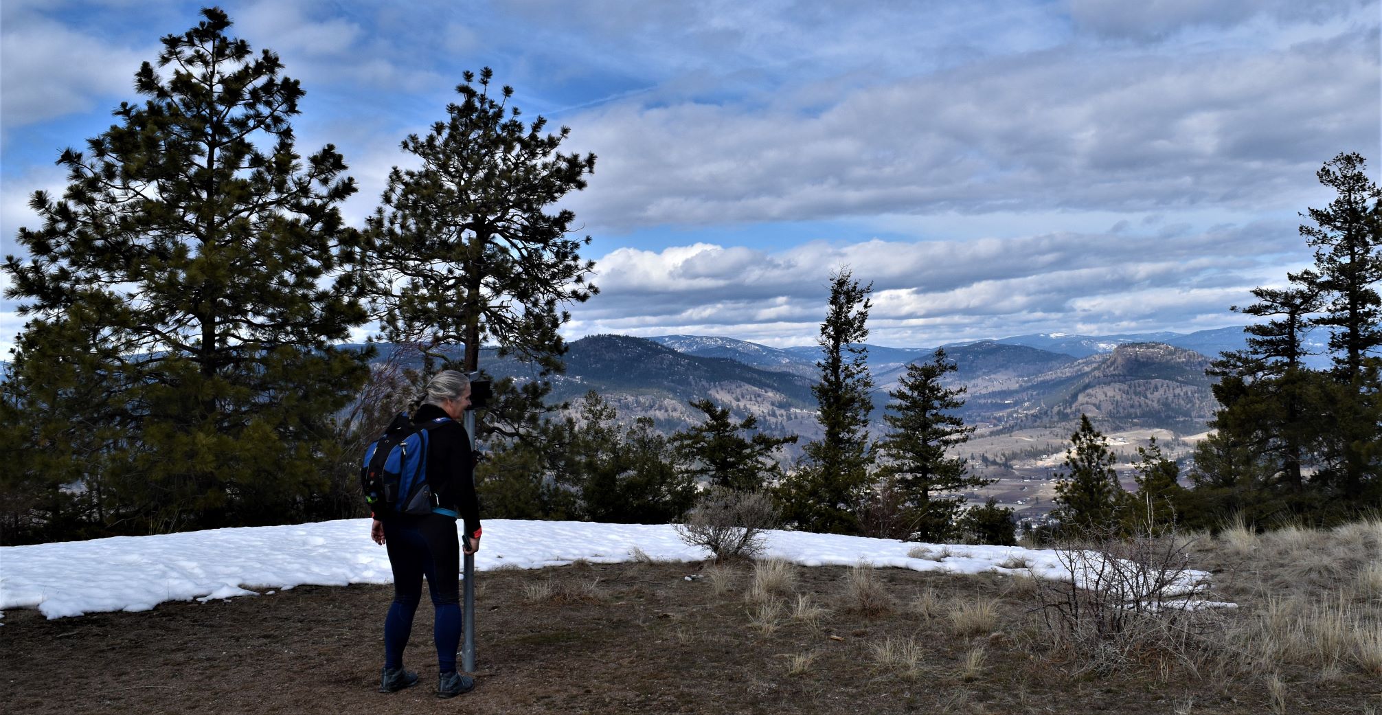
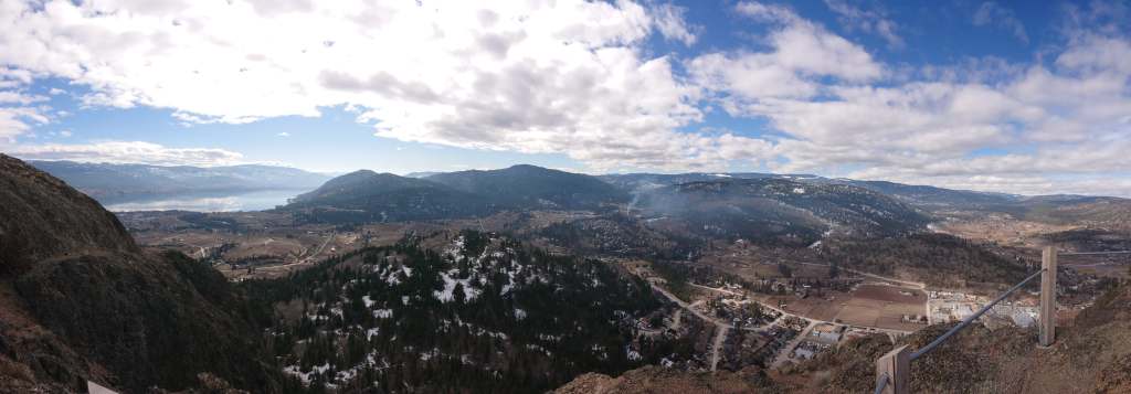
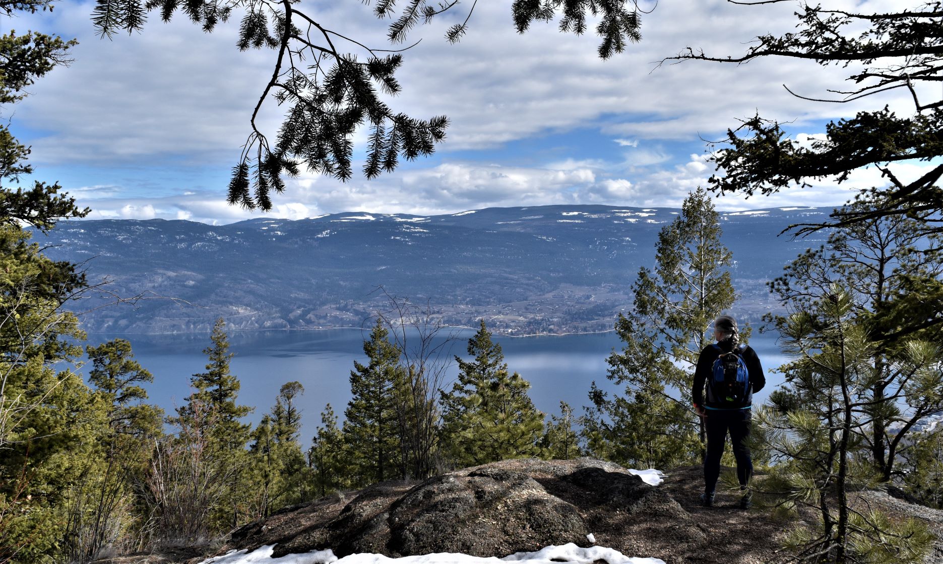
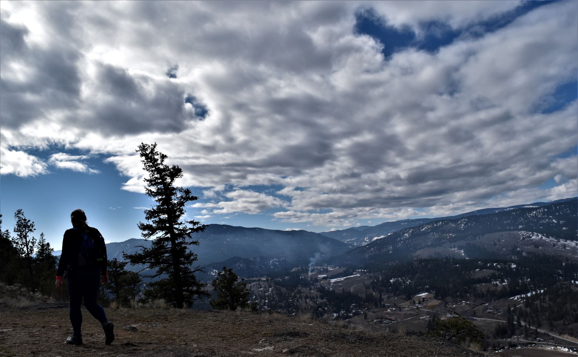
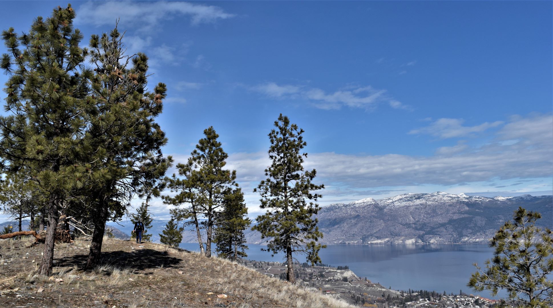
On this perfect blue sky, sunny, windless day the vistas down into the valley…and indeed…from the top…all the surrounding valleys were up to par for sure.

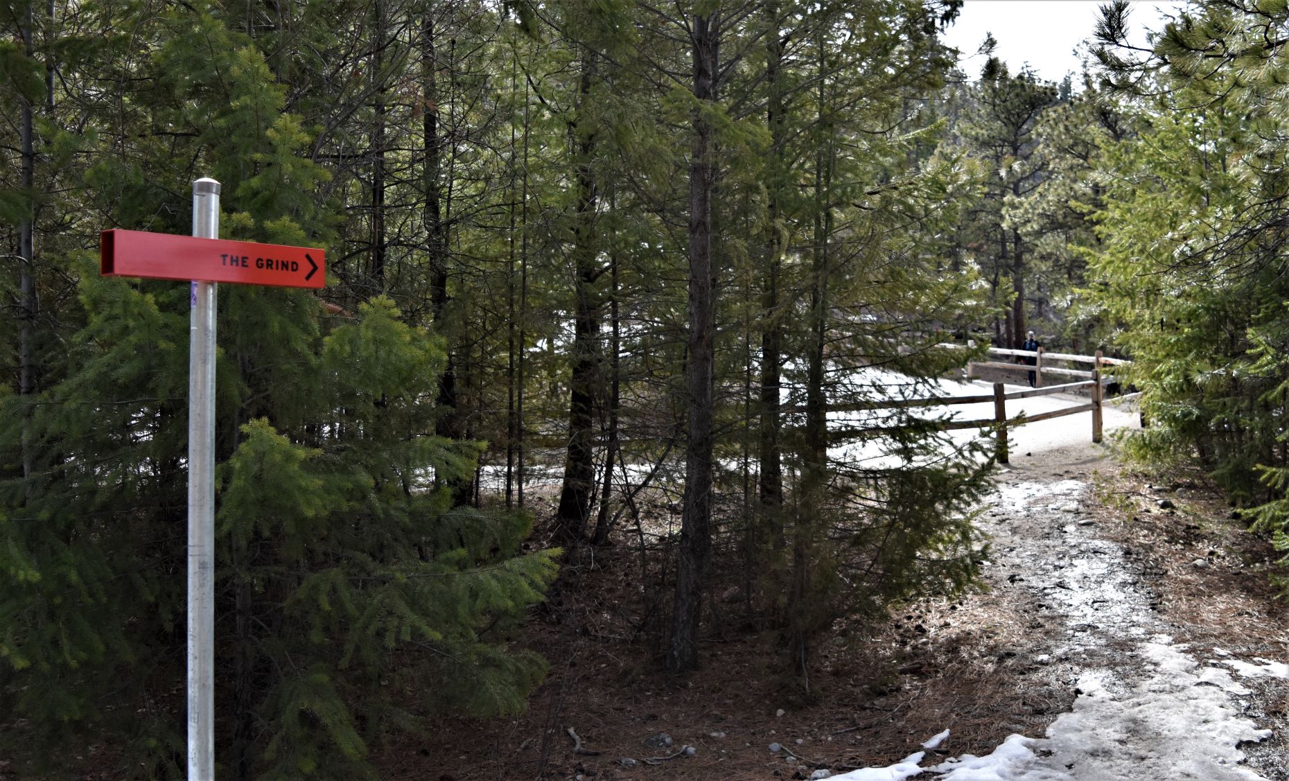
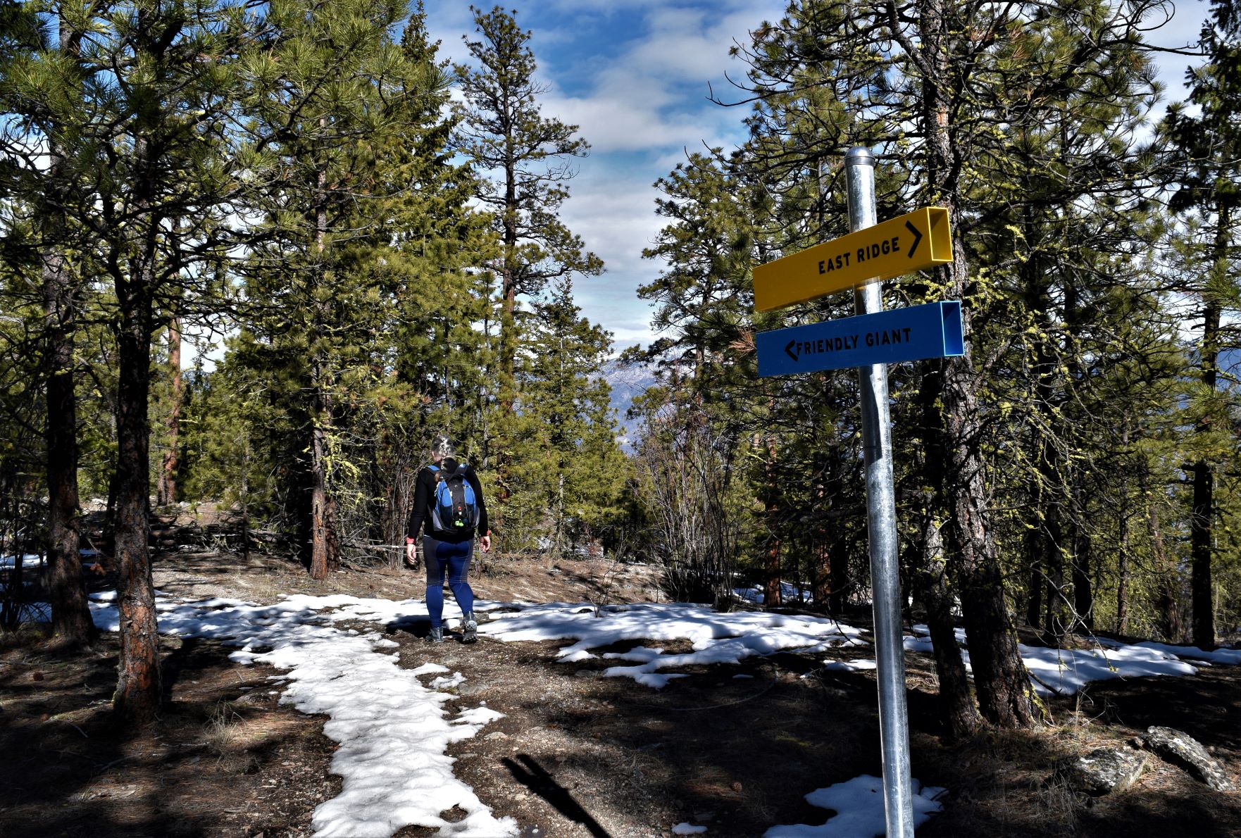
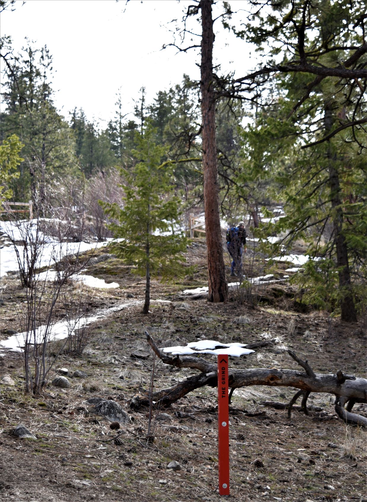
Its a well marked trail. Many red posts to remind you….that it’s a grind..!! I’m imagining its likely a very busy one in the summer.

There were more people on the trail than we have been used to. Even a couple of trail runners bounding by us across the top of the Giant.

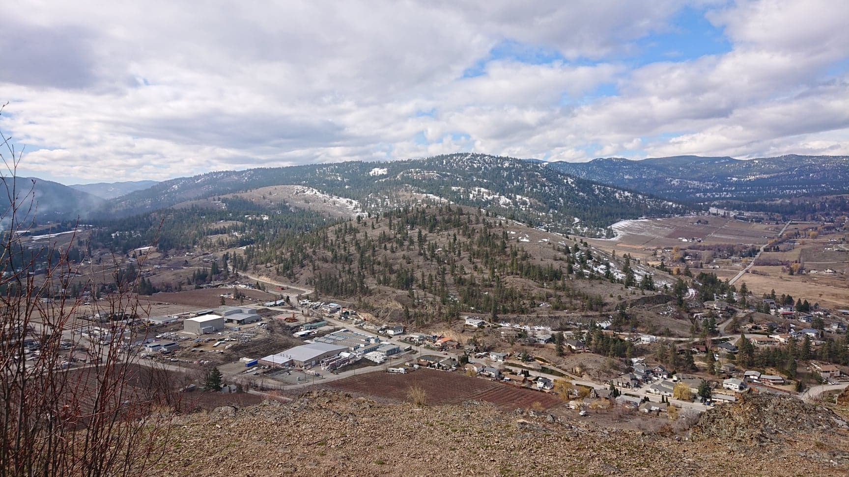
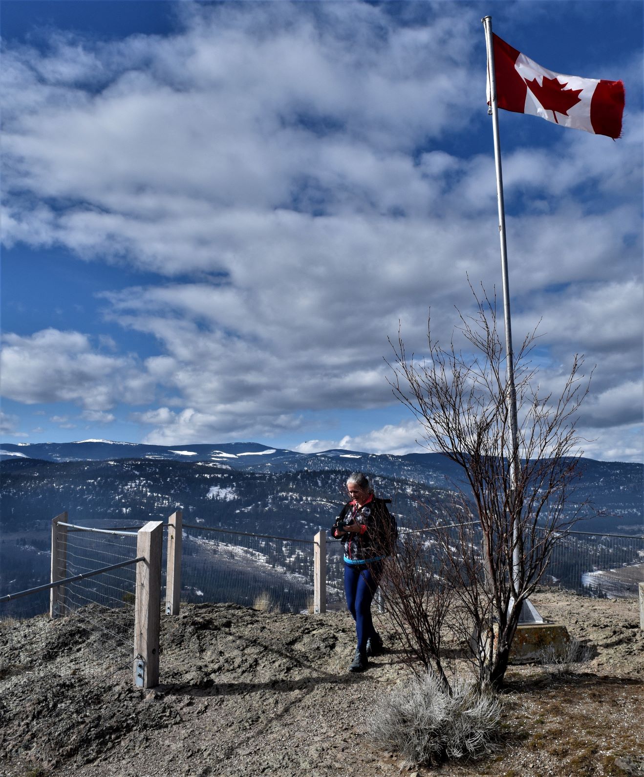
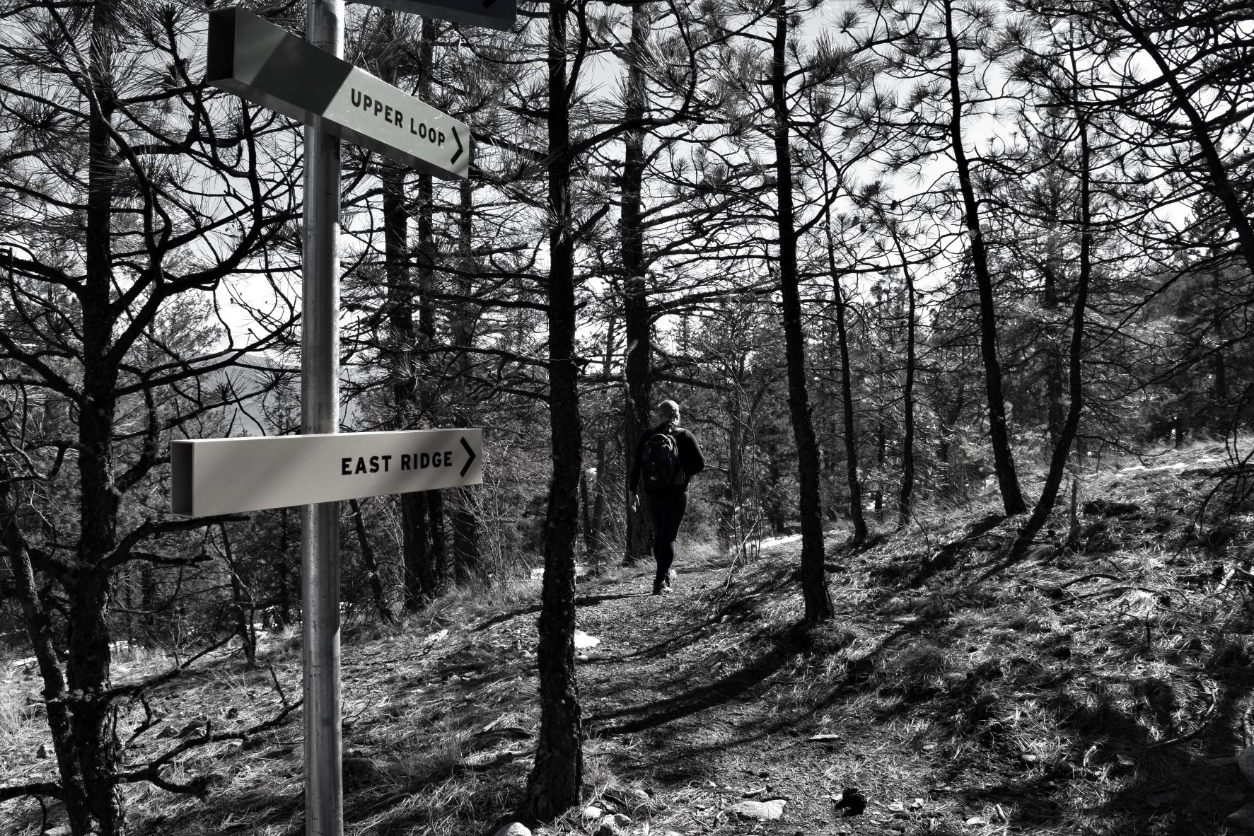
Around the top there are a series of what can only be described as viewing posts. Several of them are welded in the direction of the more relevant points that can be seen from the top. Including the Summerland research station, Apex Mountain and Brent mountain.

The path down is always worse……LOL…and this one was no exception. We continued the loop and followed the east ridge down.

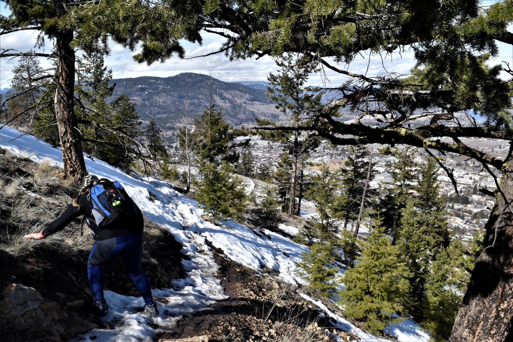
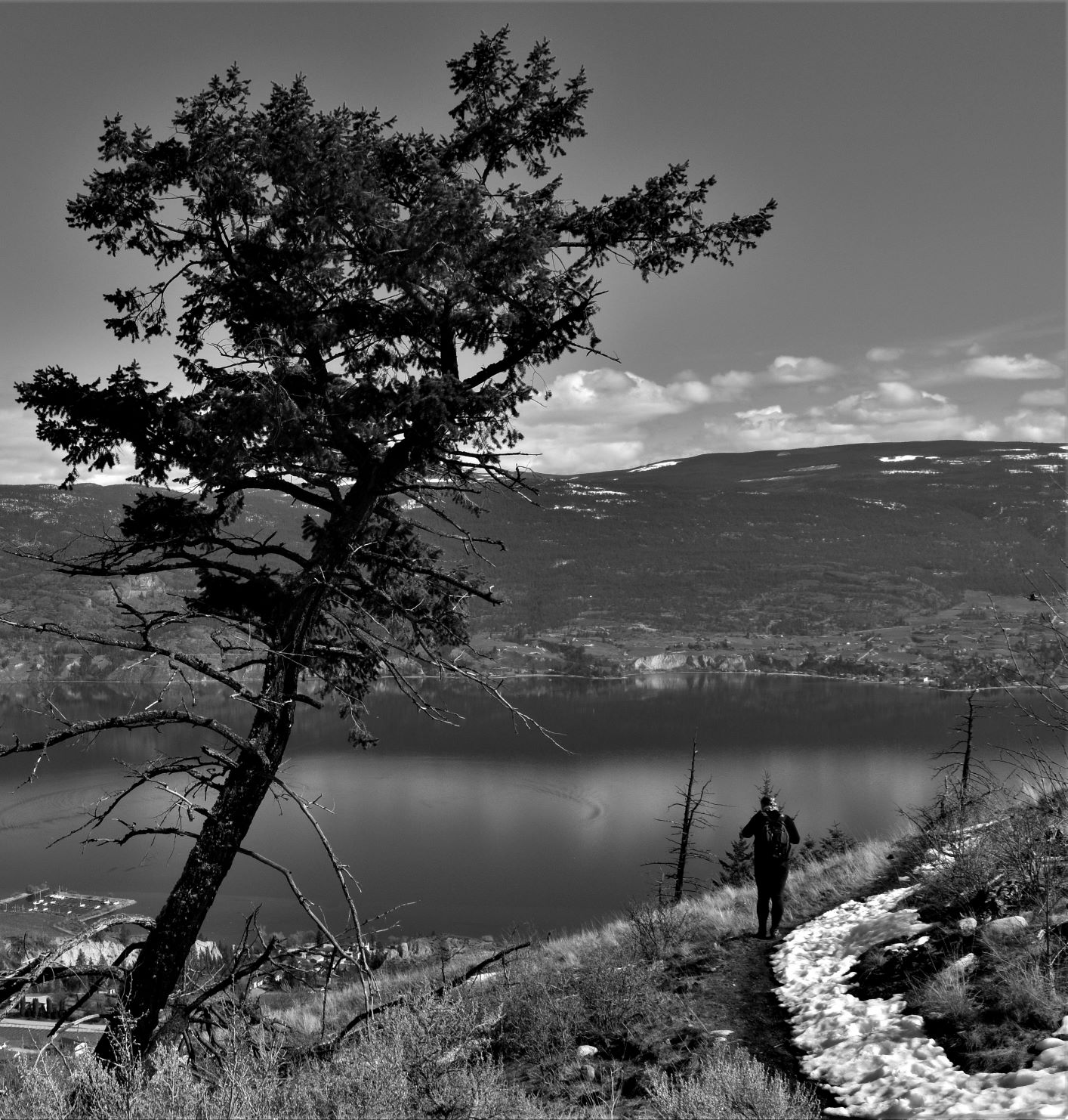
The path, as with many of them at this time of year, was ice covered….but it’s warm enough that the snow melt makes the bare part of the path soft and slippery mud. Choosing our footsteps very carefully and picking our way, down we went…..trying not to slide down the sheer drop below. Fun and a bit scary….!!!

The very last part we rerouted out to the paved road as the very soft surface became too treacherous and frankly too much hard work…..!!!

Another beautiful day, another beautiful memory.

Extra pix.

March 5th. Bear Creek Park. (sans ourses aujourd’hui..!! )

A series of beautiful blue sky sunny days inspired a trip up to Kelowna for a trail in Bear Creek Park with a couple of friends from the old country who reside in Kelowna. Our neighbour here at the campground had recommended Bear Creek park so it seemed like a great opportunity to combine a walk with a visit.

The drive up the side of Okanagan Lake was amazing, there was not a breath of wind and the lake was mirror flat.

Following the road north up the west side of the Okanagan is like flipping the pages over in a ‘beautiful scenery’ calendar. The scenery changes but does not ever lose its spectacular quality.

Bear Creek was the destination. The Burnses met us at the trailhead with Watson (the border collie) in tow.

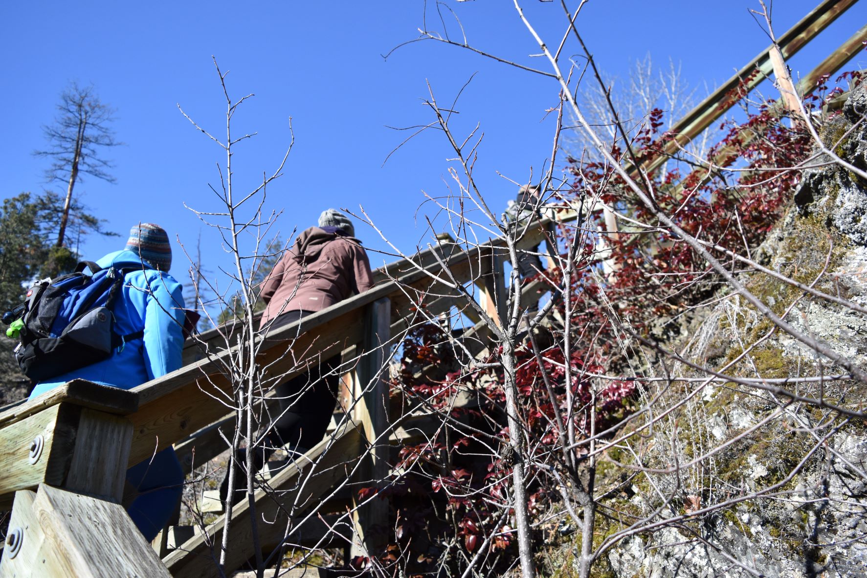
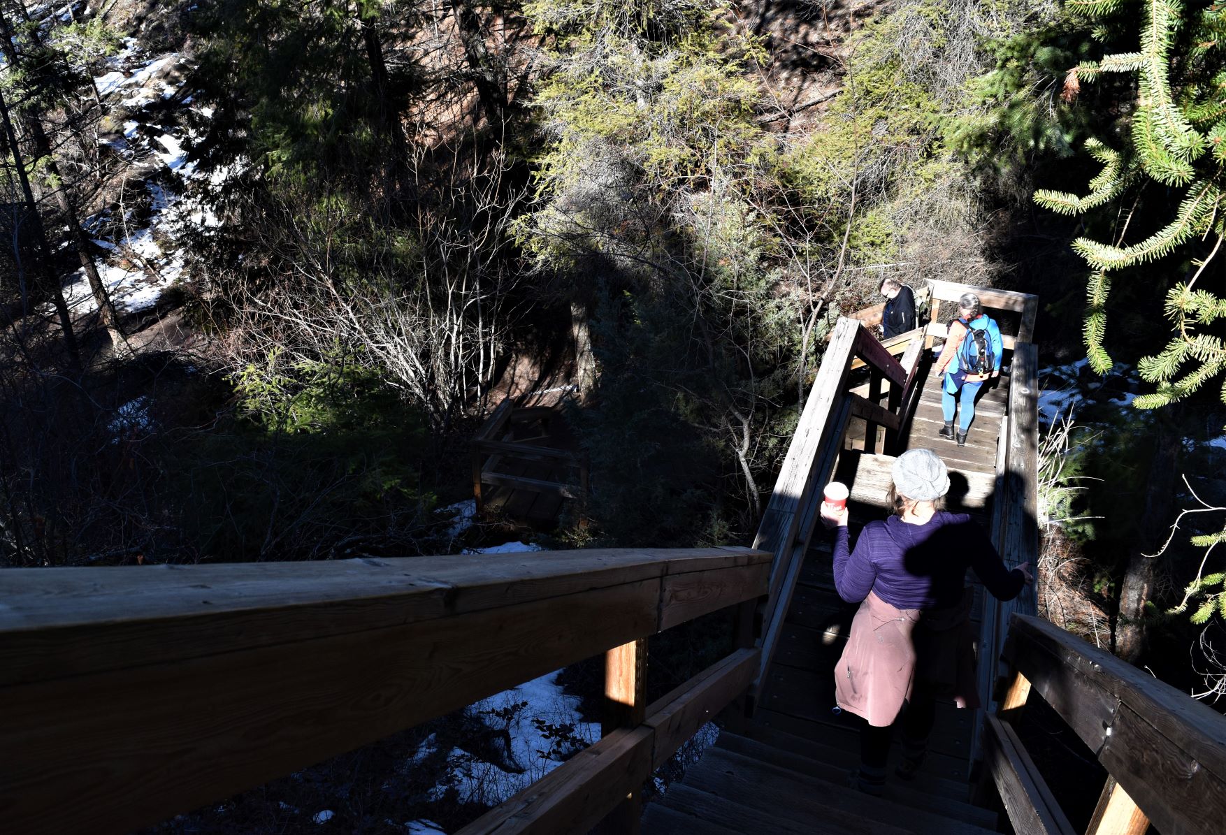
The trail starts with an immediate climb up the ravine….mostly stairs…( I didn’t count..!!)

………and then levels out where we planned to follow a couple of loops up at the higher elevation.

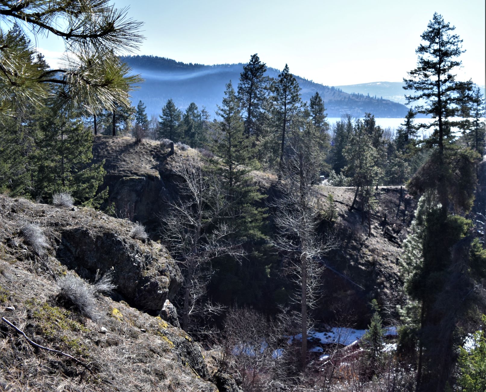
Like most of the hikes around here, the reward for the climb is amazing panoramic views of lake and mountain….and on this occasion….the skyline of Kelowna.

The weather obliged us with some whispy clouds up over the contours of the mountains on the far shore.

The trail took us down another long flight of steps in to the ravine and then up a series of switchbacks on the other side.

The path up, as seems quite common at this time of year, was still snow covered with the covering having been trampled by multiple hiking feet had become a somewhat treacherous path of ice.

The little bit of drama for the day was losing Watson for a bit……but he was safely retrieved and we were able to complete the loops without further incident. ( Maria calling for Watson from the top of the hill made a great shot dontcha think..!!)

Once Watson was safely back on track with his people again the trek continued round to the outer part of the loop. This took us through a bit of forest, and then back to the east ridge with a lovely lookout over the lake again.

It was such a lovely day and the splendid vista of the lake on the way down became an exercise in just ‘soaking it all in’………A good for the soul type of day..!!

Day finished out with a late lunch/early dinner at the Everest Grill in West Kelowna. It was picked for the convenience of its location…..but a truly excellent meal was delivered to us. Highly recommend it if you ever find yourself in the area.

Extra Pix

Feb 24th. Keremeos Columns in the snow.

It was yet another one of those days that did not turn out as intended. We had some mail to pick up in Osoyoos, so I picked out what should have been a decent walk down that end of the valley. Mount Kobau made great promises. It was a trip further along highway 3 ( towards Vancouver ) than we have been before. As we pulled off Highway 3 onto the logging road that lead to the trailhead, a 19km road, it became very clear that proceeding was not a great idea.

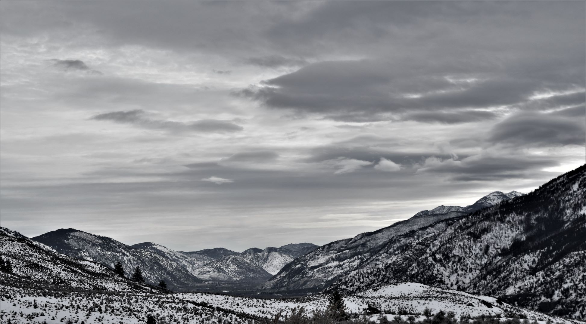
The road was ice covered and narrow. Discretion over valor wins out again…!!! As we turned to get back onto the main highway…the view up the Similkameen Valley drew us in that direction. Apologies for the quality of the pictures I took as we drove up Similkameen Valley…..it was spellbinding….!!

So instead of finding another trail around Oliver we made the decision to carry on along highway 3 and loop around to Keremeos.

There are so few actual roads here, because its more about weaving a path through the overabundance of mountains than any straight lines between a and b.

I genuinely had no concept of the extent of the mountains until we got here. I guess its a bit like …everyone knows Niagara falls is going to be impressive…….but you really can’t appreciate just how big or how powerful it is until you are standing next to it.

I digress….so …we continued up through the Similkameen valley. It is incredibly beautiful and unspoiled…….and vast. There are essentially 3 roads across the mountains from the interior of BC to the actual west coast. Its 397 km from Osoyoos to Vancouver if it helps give you scale……most of the valley has no cell service…so we drove almost all the way to Keremeos before we could look for alternate trails.

The choice seemed to be either the railtrail along the river and dead flat….or heading up the hill to the Keremeos columns again to see what they looked like in snow. So we opted for the latter. The valley here is obviously quite a bit warmer b/c the snowmelt even at higher levels was more advanced than the one valley over in the Okanagan, so it seemed like a worthwhile venture.

Ironically the hillside snow was largely melted…but the road up must be more sheltered from the sun as the road itself was snow/ice covered…so it was hard going……….. again.

its a great trail….its a series of switchbacks all the way up and most of the time you can see down in to the valley…the feeling you get looking down is similar to looking out the airplane window as it descends on a clear day. A world in miniature.

Eventually we got to the spot where no one else had gone further….ie no longer trampled path….but launched off into untouched snow for the last kilometer to the columns.

As tempting as it was….my legs were already struggling from the ice earlier and the grade….so my vote was no!! Although the columns in the snow promised to be spectacular…..surviving to hike another day took precedence.

And so to the journey back down….!! Why does it always seem like the downhill should be easier…….but I think it may actually be harder…But Oh so pretty….!!!

Such a beautiful day. Keremeos and the valleys around it are quite otherworldly even surrounded by the daily spectacles of the BC interior. I’m so glad we came.

In the meantime…here are some of the extra pix from this one.

Extra Pix.

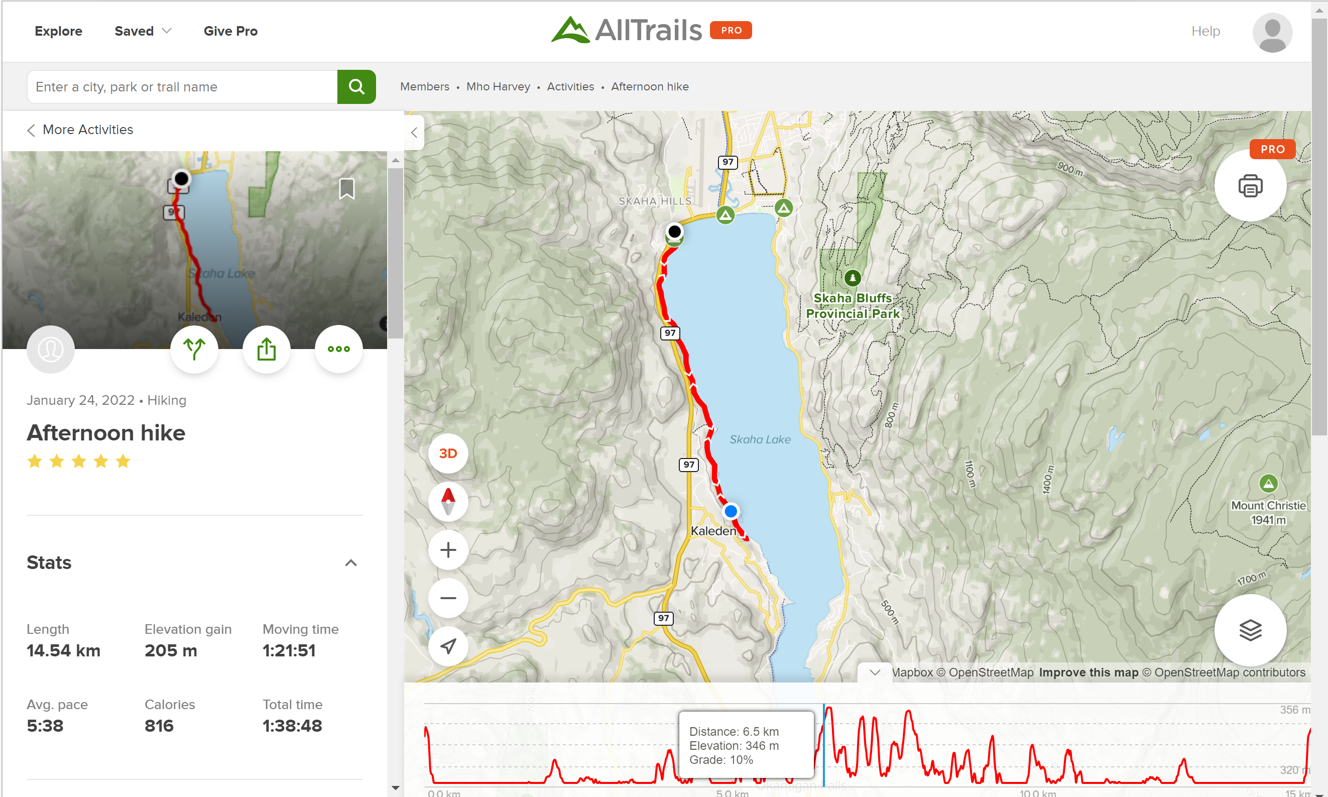
KVR (Kettle Valley Rail Trail ) West shore of Skaha.

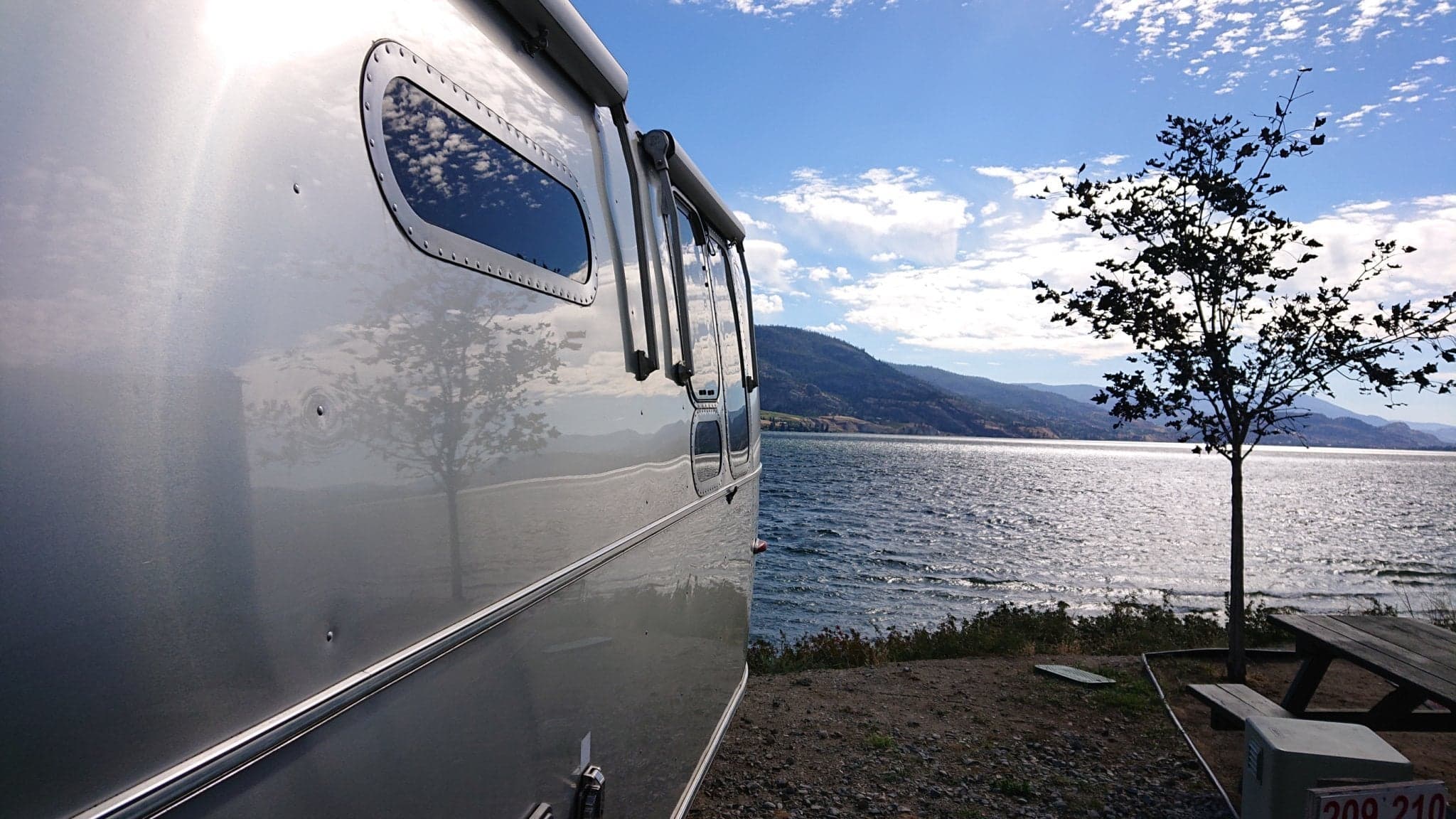
The KVR runs right through Wrights Beach Camp here on the outskirts of Penticton. When we first arrived we had a sight which overlooks the lake…spectacular view. But the decision to stay over the worst of the winter meant we had to move to a more central site as they shut off the water to some of those more lovely ones.

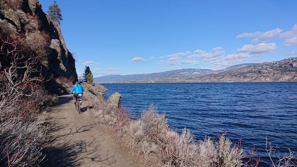
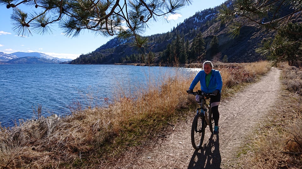
We have had several walks down the rail…and a few bike runs down there too…..so this post is kind of an overview of the ones that involved pictures being taken.

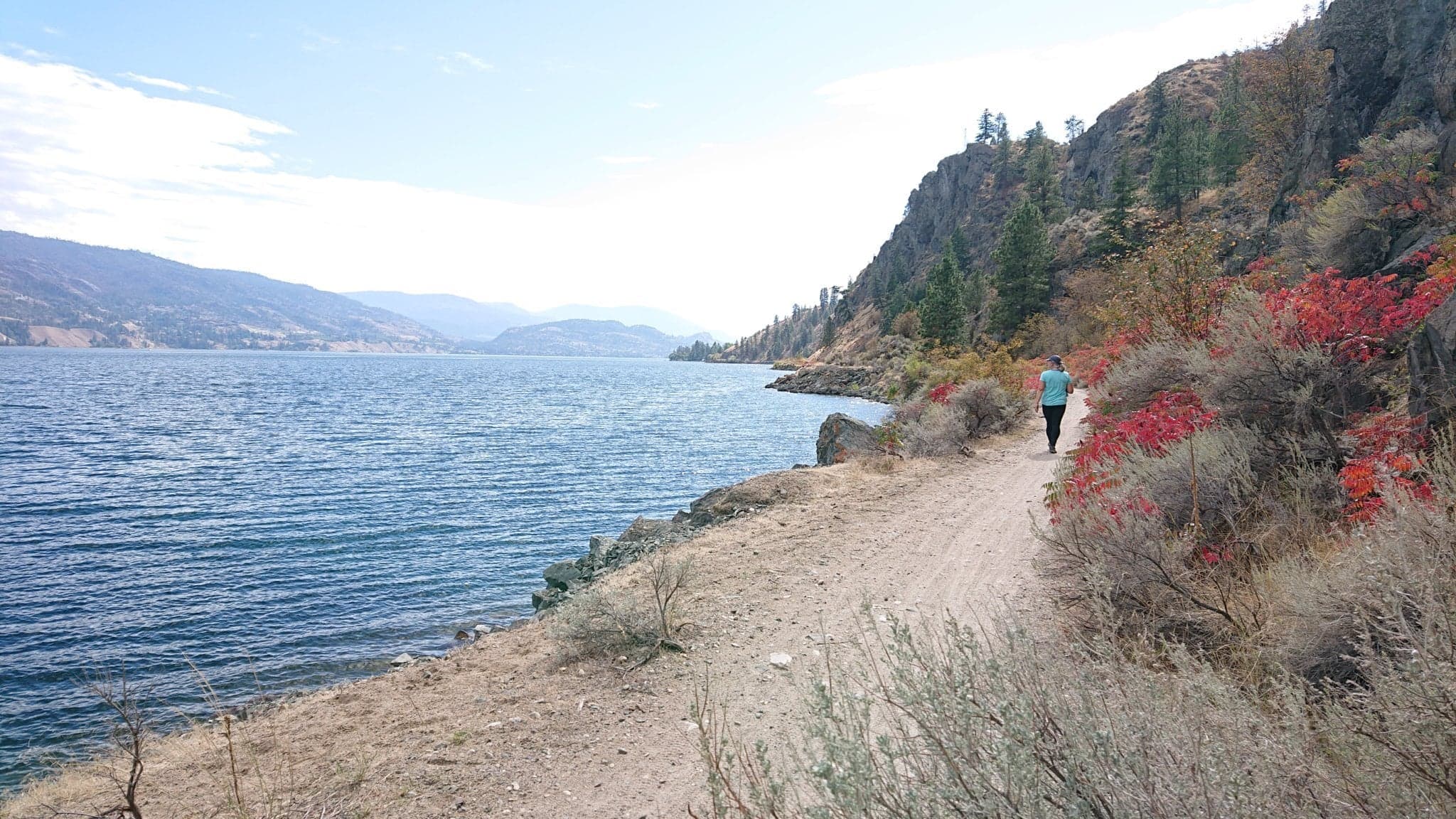
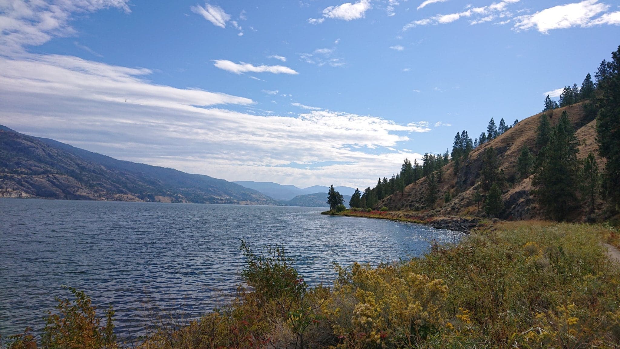
The first trip down the lakeside was pre winter…..just as fall was switching the colour palette over to reds and yellows.

Sept 26th.

Dec 22nd.……out for a VERY brief walk in -23 C…Brrrr

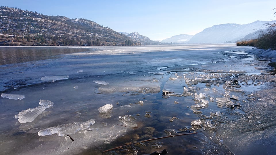
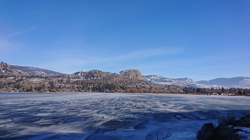
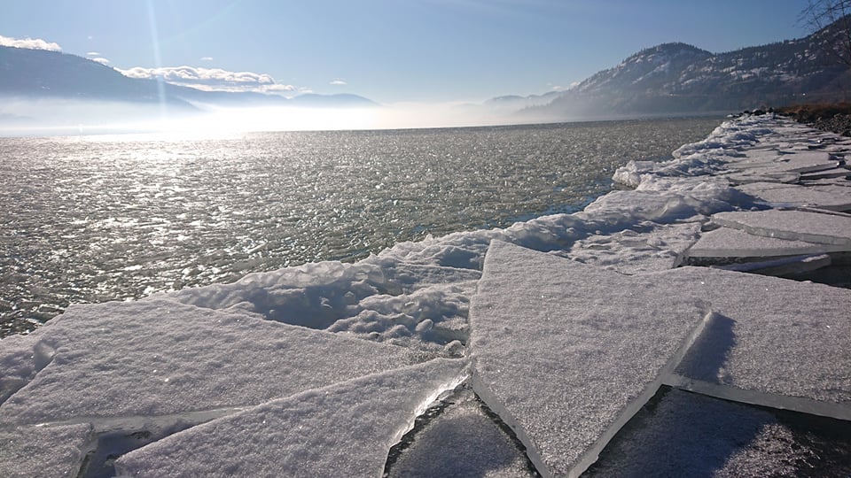
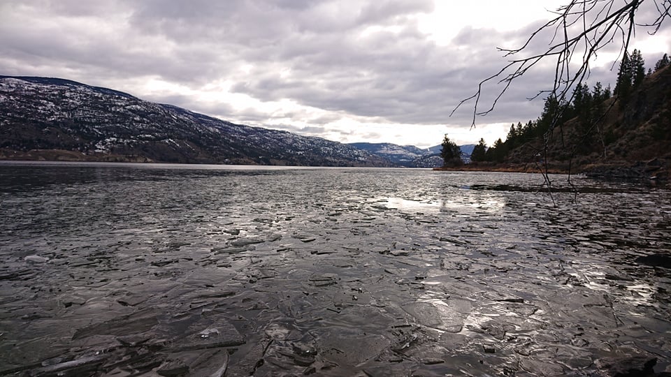
There have been a few hikes and a couple of bike rides more recently. Some of them to ogle at the ice formation and the snow dusted valley sides.

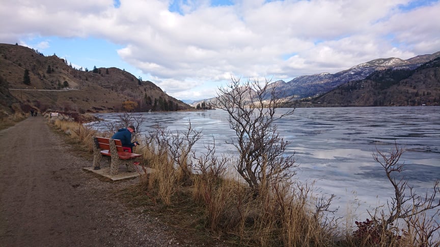
Jan 23rd .Hike down the KVR b/c the weather had improved a little but there were still some spectacular ice formations.

It was a day where there was not a breath of wind and the lake was mirror flat.

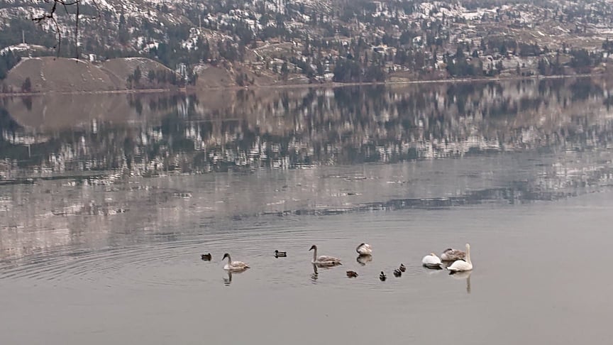
Partway down the side of the lake, we caught up with the resident swans…..and a whole bunch of ducks hiding out in a very sheltered spot down at Kaleden.

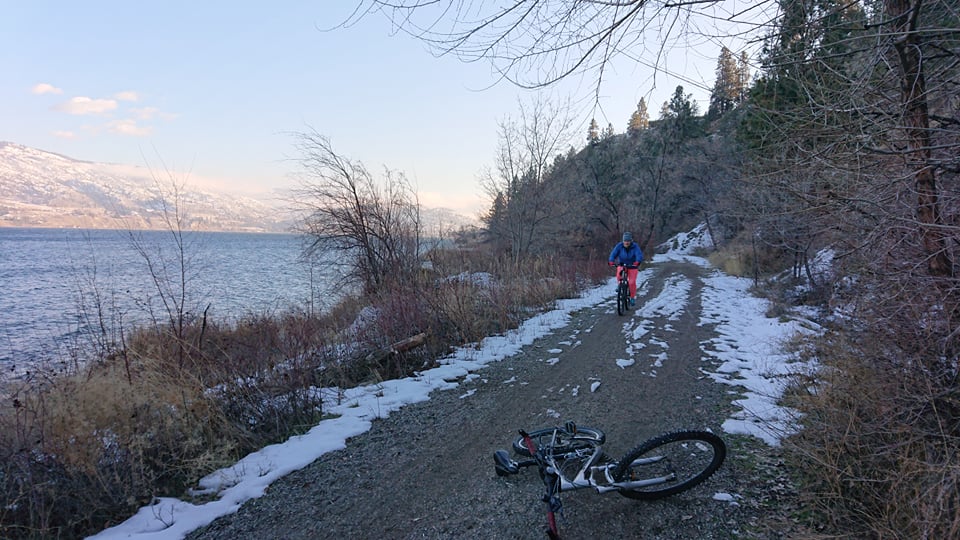
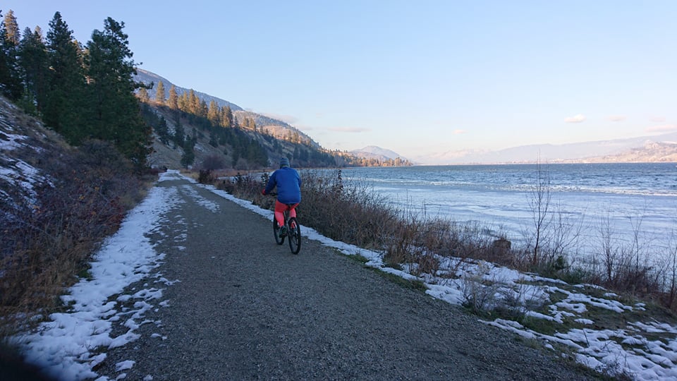
Jan 24th Short bike ride……it was above zero and the walk the day before instilled the brave idea that the snow might have melted enough to be able to get down to Okanagan Falls. ( The wind chill was minus 5C …frozen toes…..and wind in our faces all the way home) still it was good to get out for a bit….even if we did call it halfway down..!!! Once the sun goes the temp just drops like a stone.

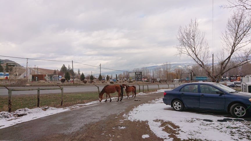
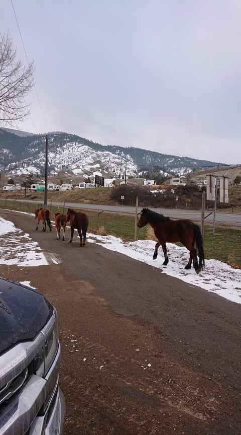
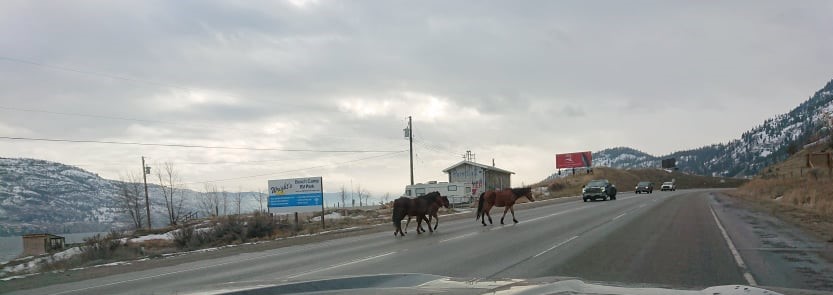
Jan 31st. Then there was the feral horse invasion. Yes you read that correctly. There is a small herd of feral horses locally…we woke up one morning to find them happily munching the grass in the campground. They were rounded up and moved out with golf carts. The next couple of weeks they had ropes up across the gates….every time we went in or out of the campground meant hopping out dropping the ropes and then replacing them after leaving/returning.

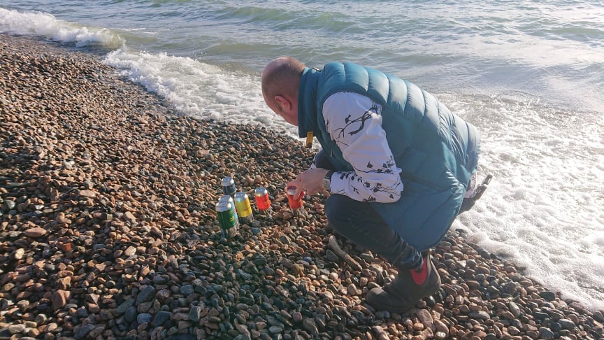
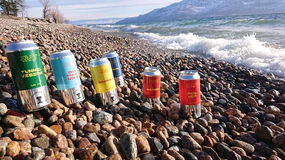
Feb 5th took us back up the side of the Okanagan Lake to meet up with friends on a skiing vacation at Big White. We took the opportunity to take them some of the Abandoned Rail brewski’s……Scott….being Scott….had to stop along the way to do some artsy pictures of the cans…!!!

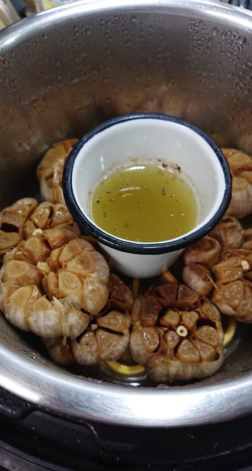
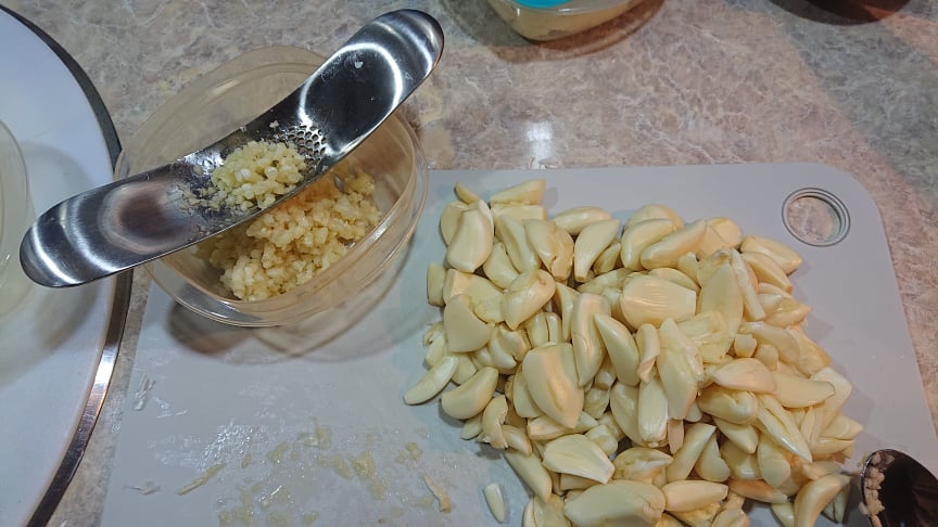
Feb 9th.…we finally ran out of roasted garlic.….so had to rustle up a small batch of local Okanagan garlic in the Instantpot….!! and another batch of the olive oil preserved garlic…

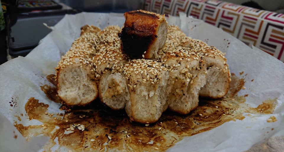
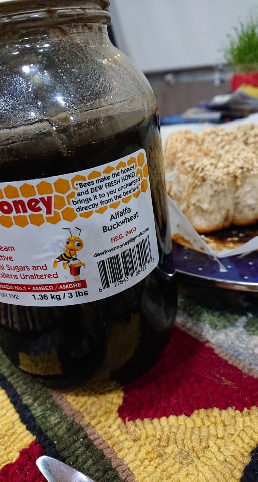
The new batch was then test driven in a batch of garlic bread…..(topped with local honey and sesame seed..) The black honey from one of the local producers is something we had never seen before…but have become avid fans..!!!

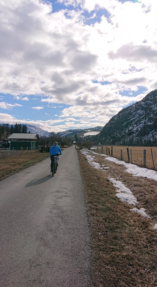
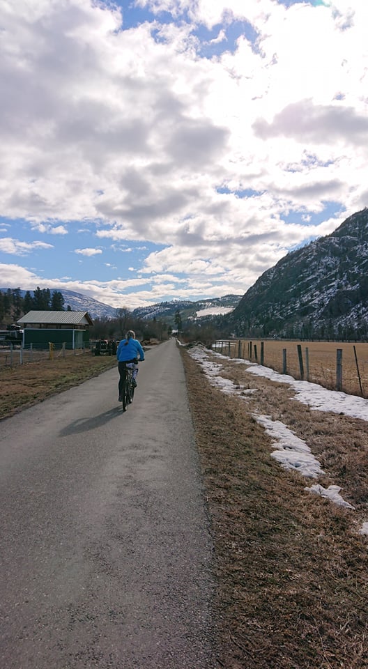
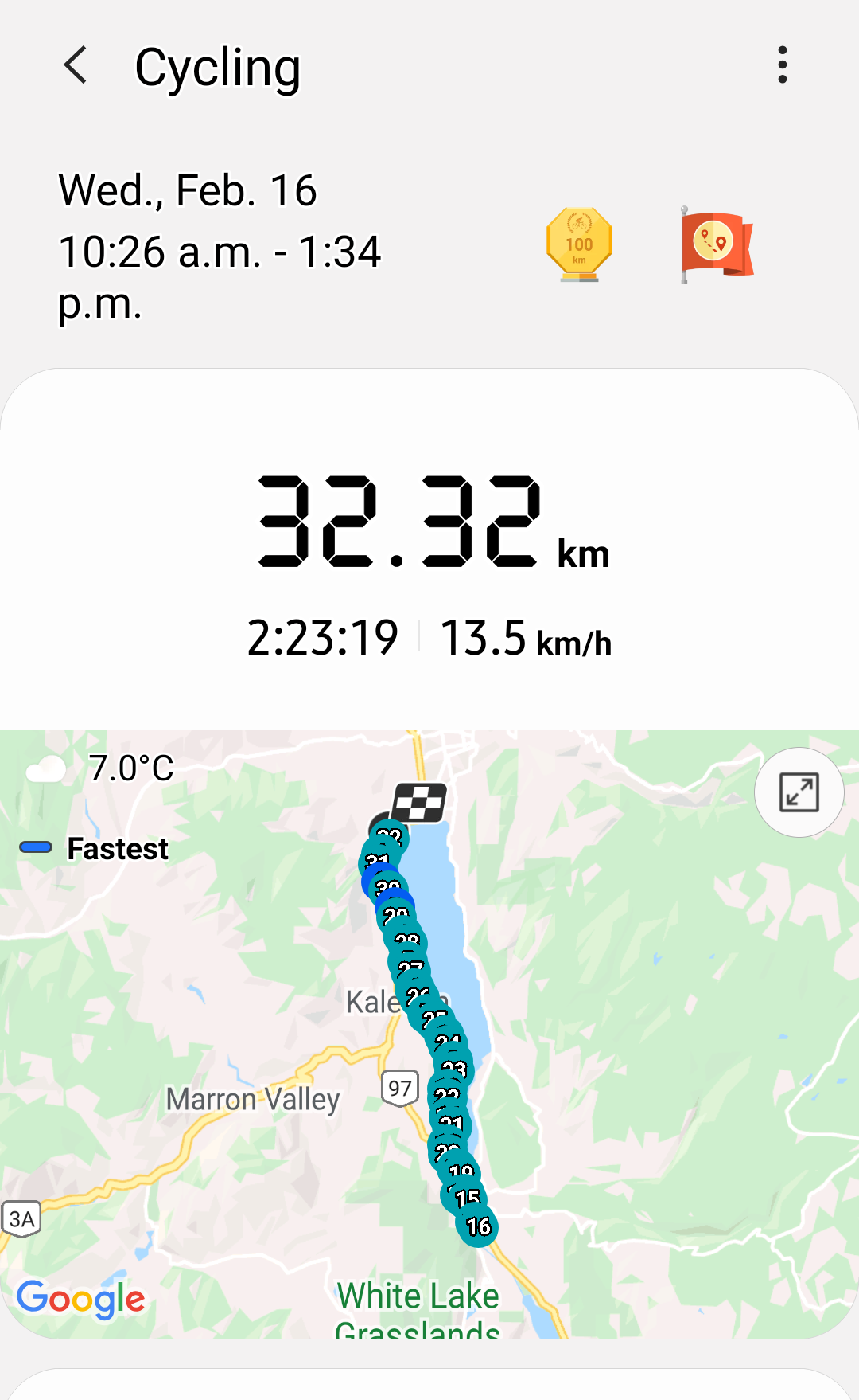
Fe 16th. A further improvement in the weather situation tempted us out to try and hit that Okanagan Falls target again., so we embarked on a slightly longer bike ride.

On this day we took the bikes down to trestles at Okanagan Falls at the southern end of Skaha, and carried on a little further to see how far the trail would actually take us.

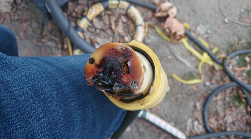
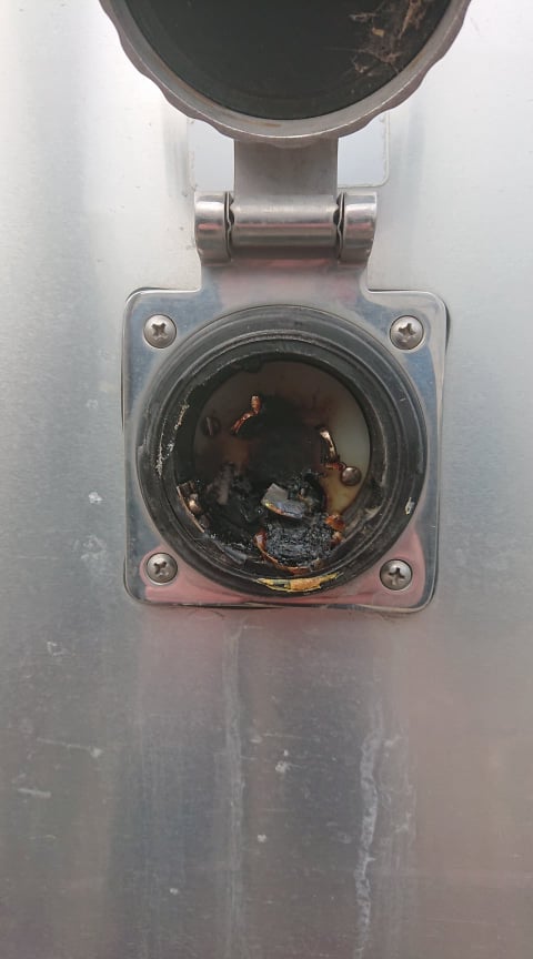
Feb 22nd Another cautionary tail that did not involve either slugs or shoes. In the evening I was sure I could smell burning plastic. Persuaded Mr to go out and check……scarily we found our 50 amp connector had slipped slightly and was shorting…….

Thankfully the local RV repair guy at Apex RV repair…the wonderful Raj, came to our rescue and saved us from certain doom as the temperature was forecast to drop to -15 Celsius that night. Raj came out in freezing temperatures in the dark and got us back up and running again.

Its hard not to just stop and take a few pictures every time we go out. Every different weather condition just seems to lend it yet another kind of beauty.

Up next….a return to the columns at Keremeos in the snow.

Feb 11th. A Wander of Fire and Ice.

With a bunch of sunny days in the forecast…and a balmy +5 C promised for the day…the alltrails pick was for Bear Alley. It just sounded so enticing……and it looked from the map , like a hike that would keep us mostly in the sun.

The road leading in to the trailhead was sheet ice…and seriously downhill…..so we backed up a bit and walked down. Having geared up with my gaiters and ice trax…we trudged up over the hill again.

The point that Alltrails said was the trailhead was on private property with multiple clear signs prohibiting trespassing.( BTW..I reported it to Alltrails and they have since deleted the map ) Disappointing b/c the road ahead and the hillside we were headed to looked amazing. We had to drive back down to OK falls to get enough signal to find an alternate…..

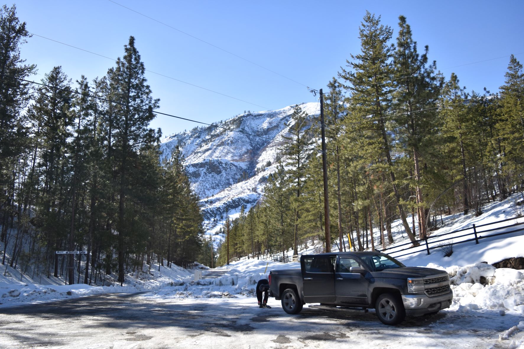
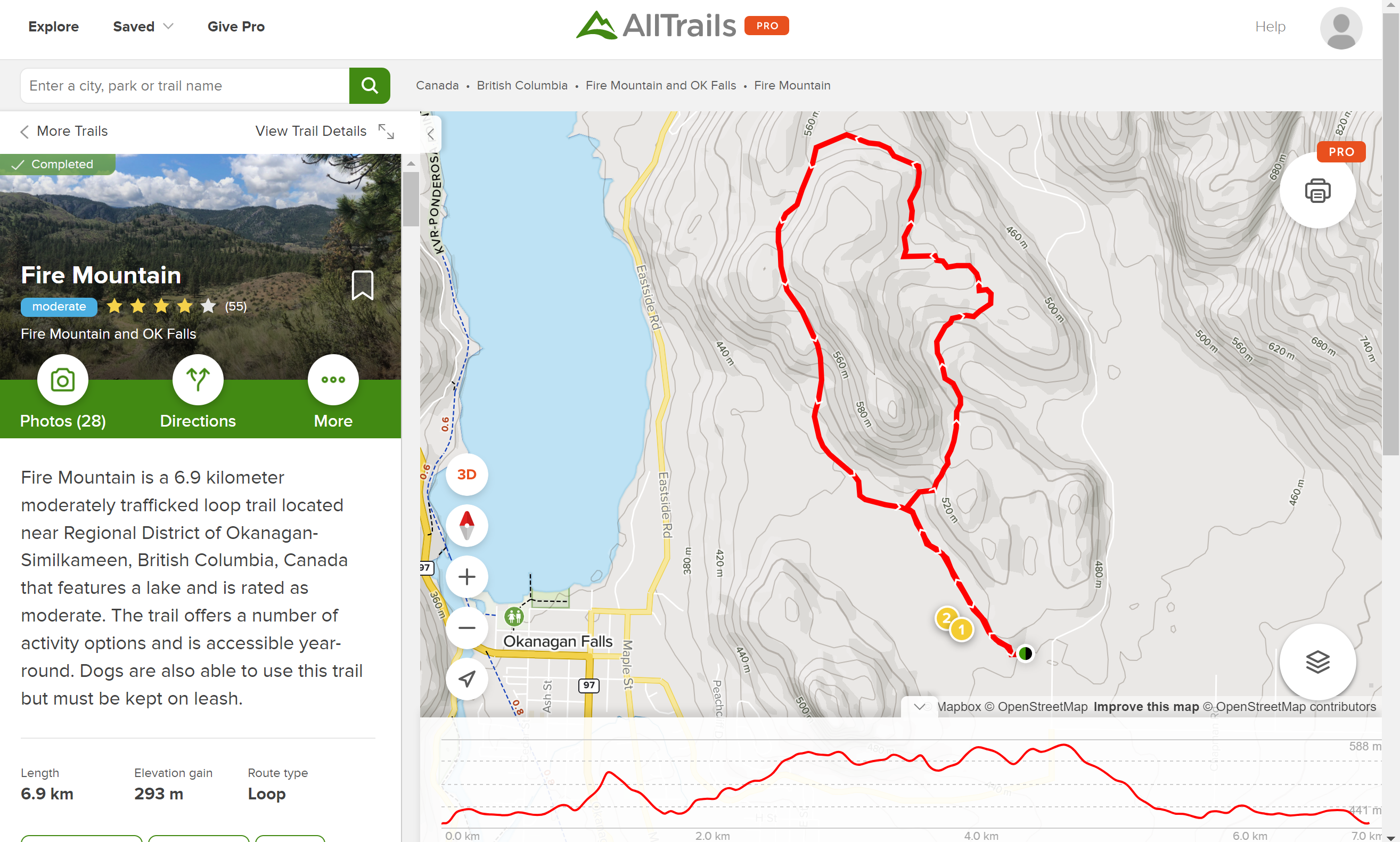
The alternate today was Fire mountain, same parkland as Peach Cliff, but this one was a loop around Fire Mountain.

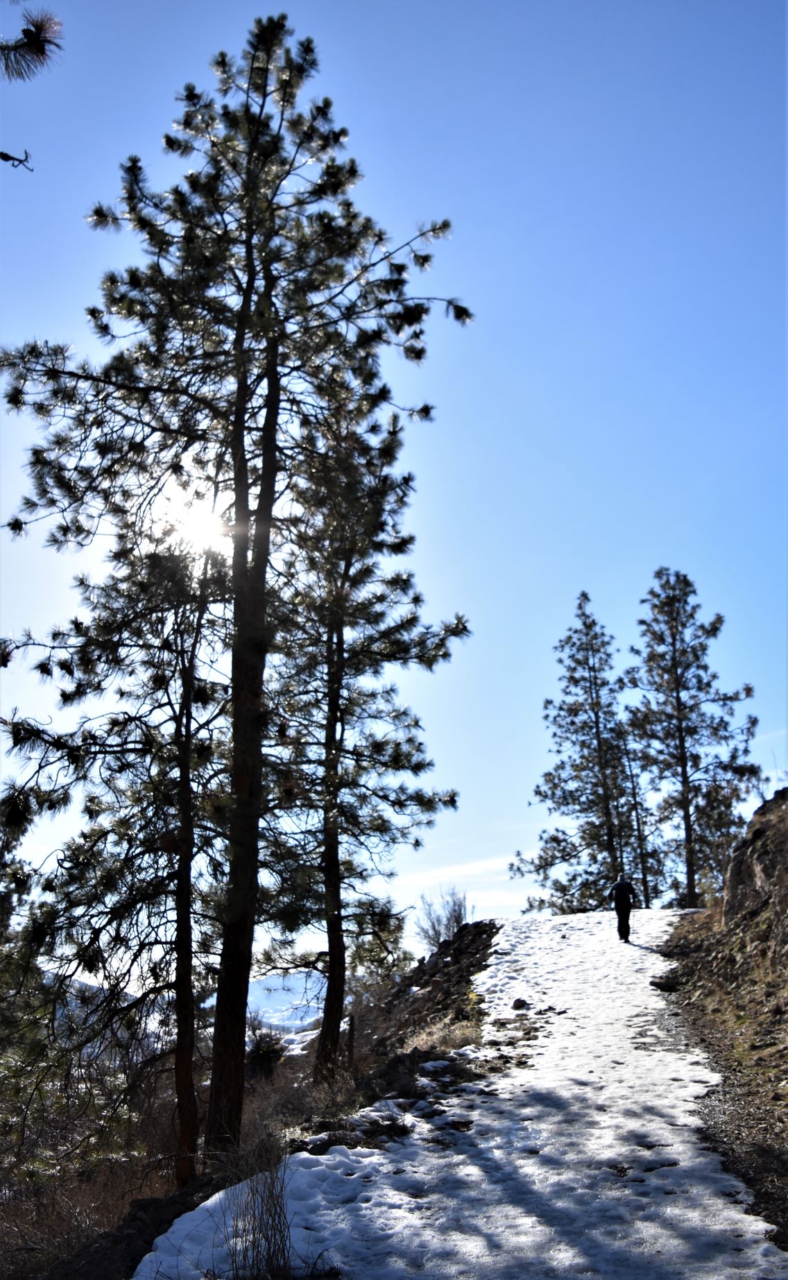
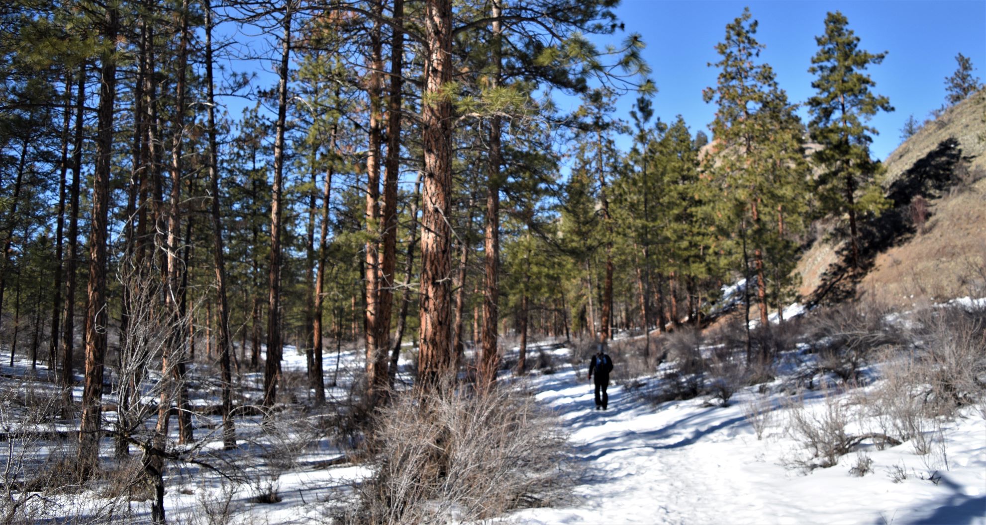
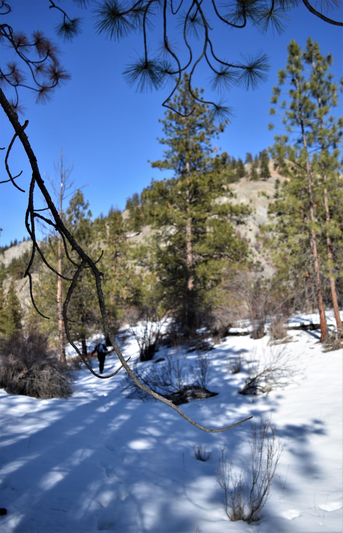
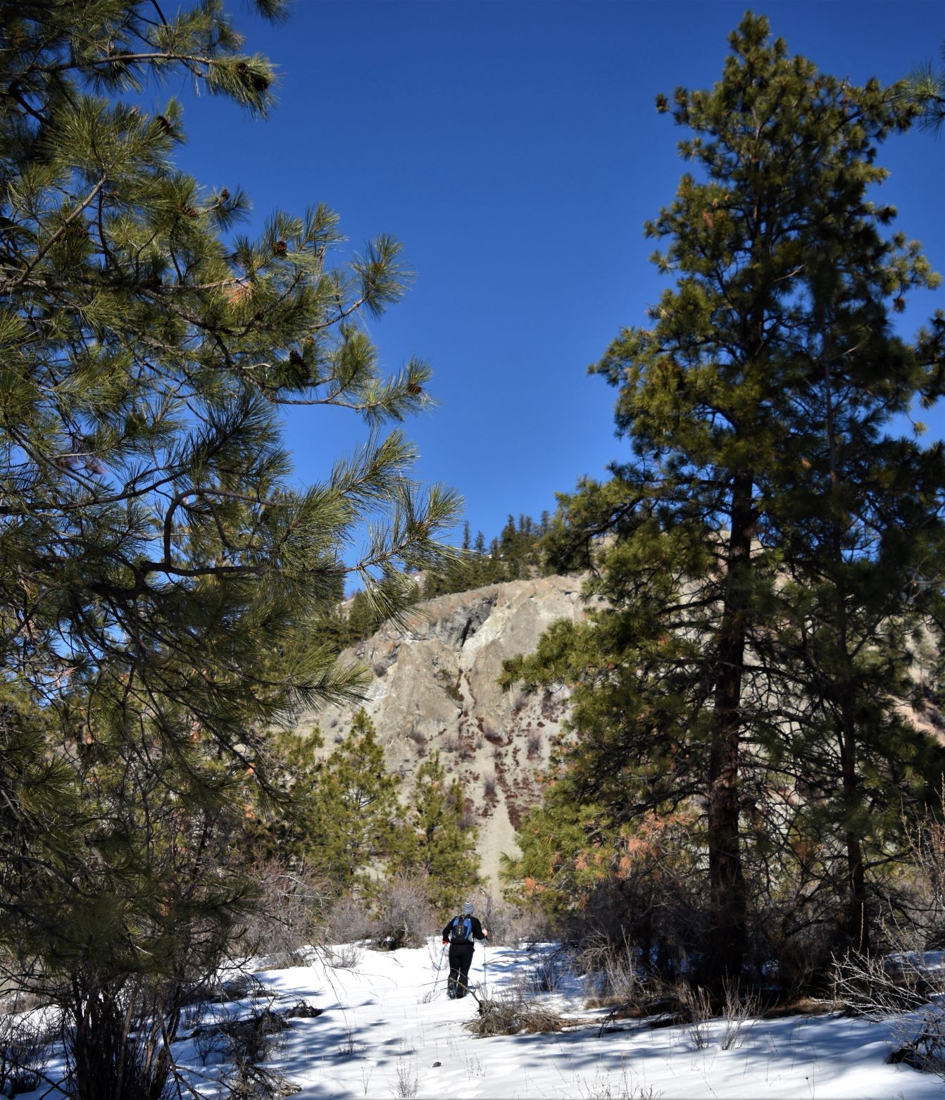
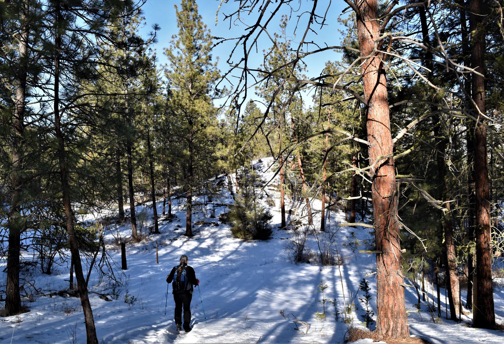
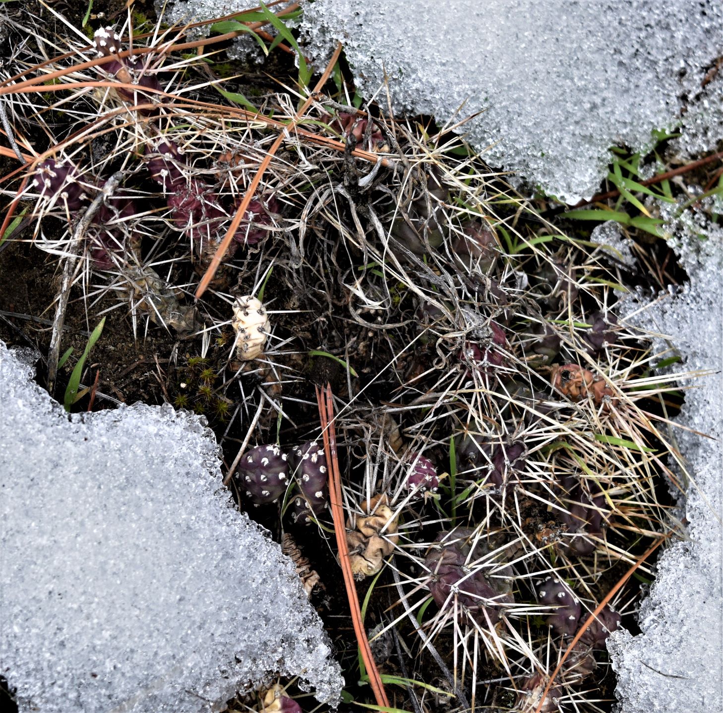
We found ourselves back among those majestic ponderosa pines. On the most beautiful blue cloudless sky day. (Editor. My favourite little spikey cacti friends safely buried below the snow )

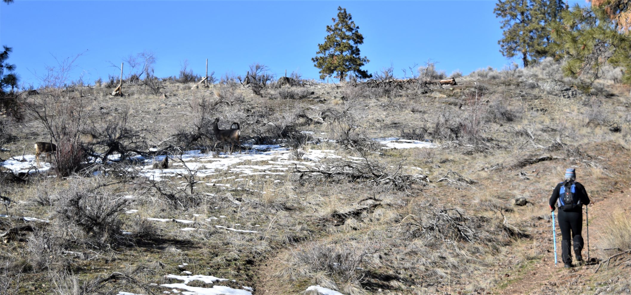
We almost walked in to the middle of a herd of mule deer.

They did not seem particularly fazed by us as we quietly crept by , trying not to disturb them. ( in the last frame there you can see the little one jump the fence..!!)

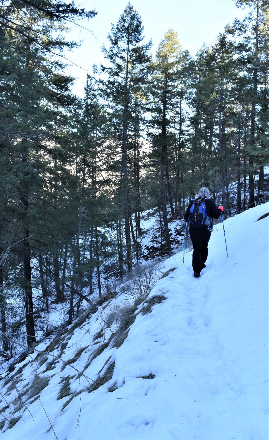
Safely by them we headed on up through the pass. By this time it was warming up so the layers were peeled off and stowed. The snow was becoming icier as this is clearly a well travelled path……so much easier underfoot than the last couple of hikes have been

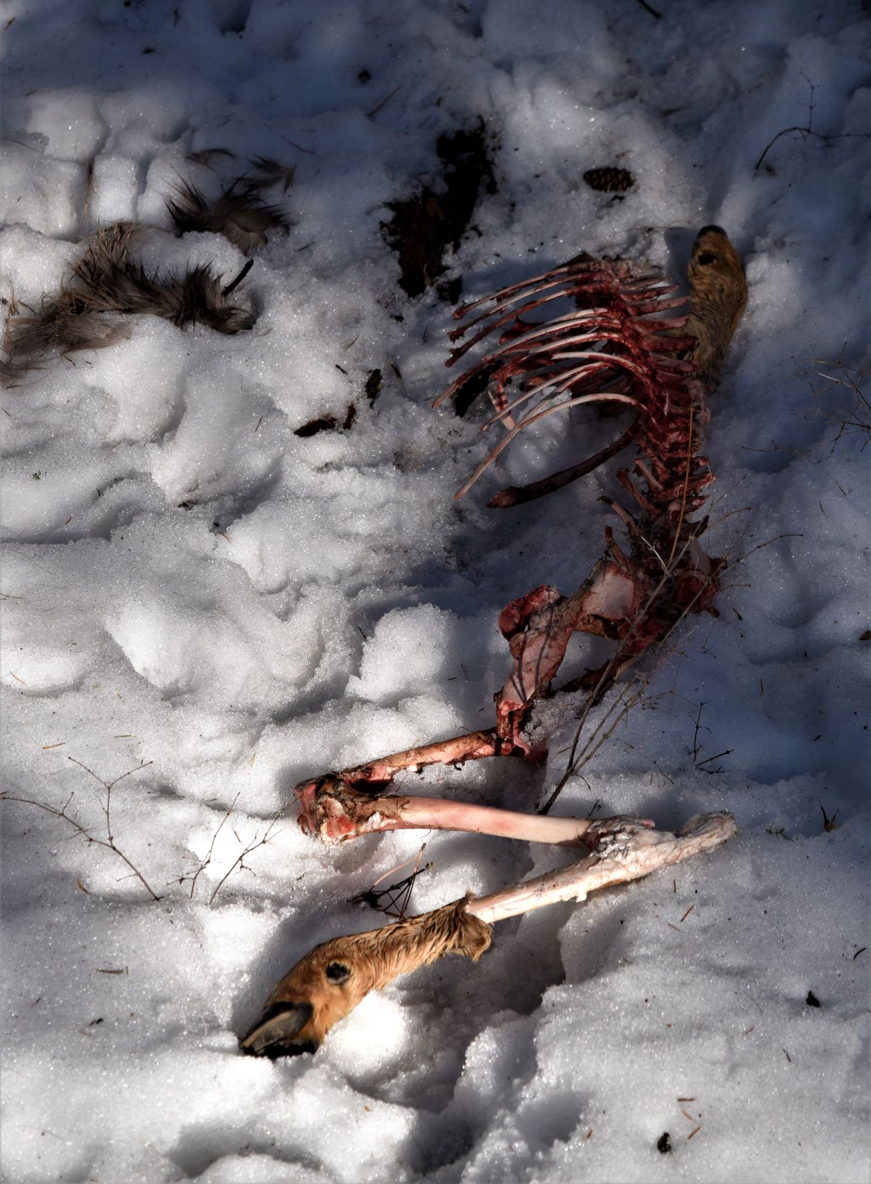
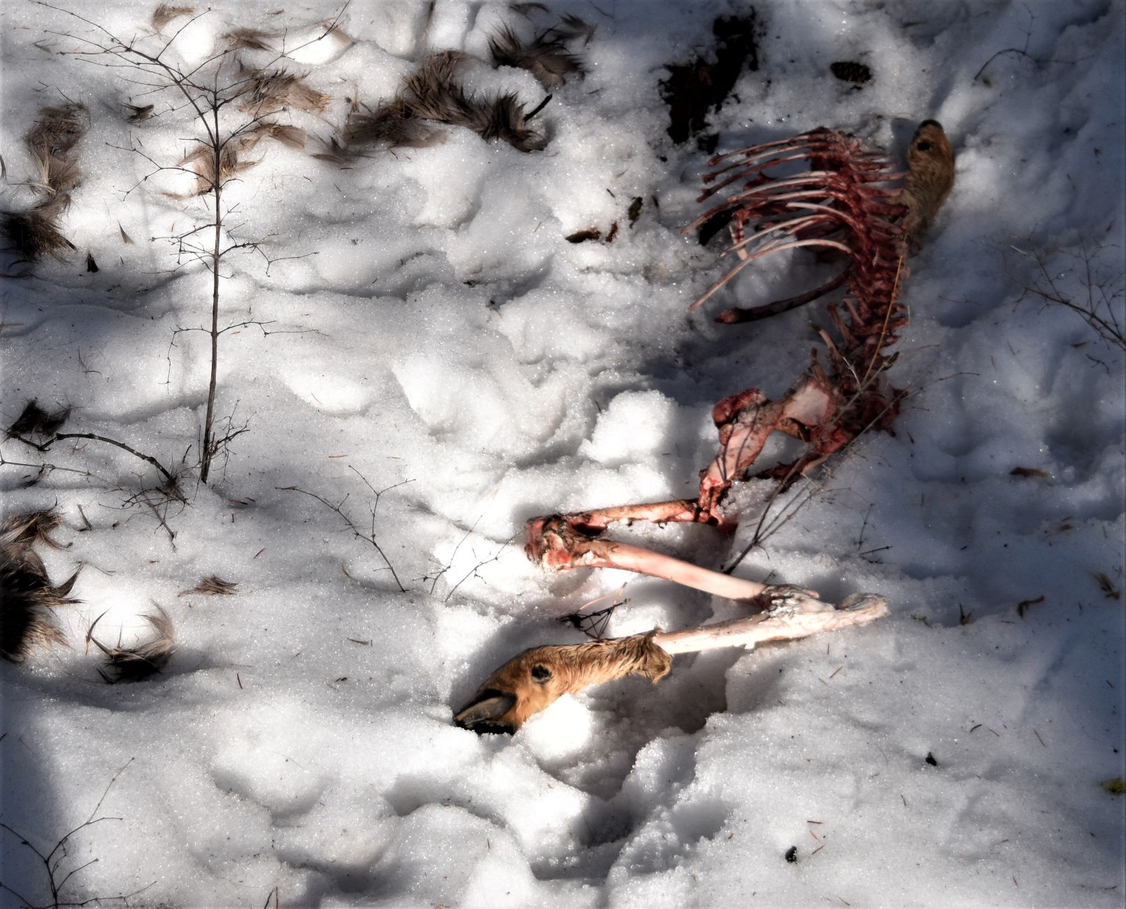
Further up the pass we met mostly eaten deer carcass on the side of the trail (bleuch…!!!). There were lots of tracks around, but it was hard to tell what they had been made by.

A little further down we met a lady with a dog who told us she lives locally…and frequently sees bears on that mountain. She was fairly sure the deer was a mountain lion kill, not bear. ( well now…thats re-assuring..!!)

It’s quite definitely bear territory when you look at the landscape around……did I mention the lady we met was carrying her bear spray in her hand…!!!

We did see more bear tracks further down the trail. It’s an interesting situation where you kinda want to see them….but you kinda don’t..!!!(sorry the pix of the prints did not come out very clearly)

It was a much easier walk than the last couple have been. The snow was probably not as deep to start with, but also trampled quite a bit more and frozen a bit more to make the path just a tad easier to walk on.

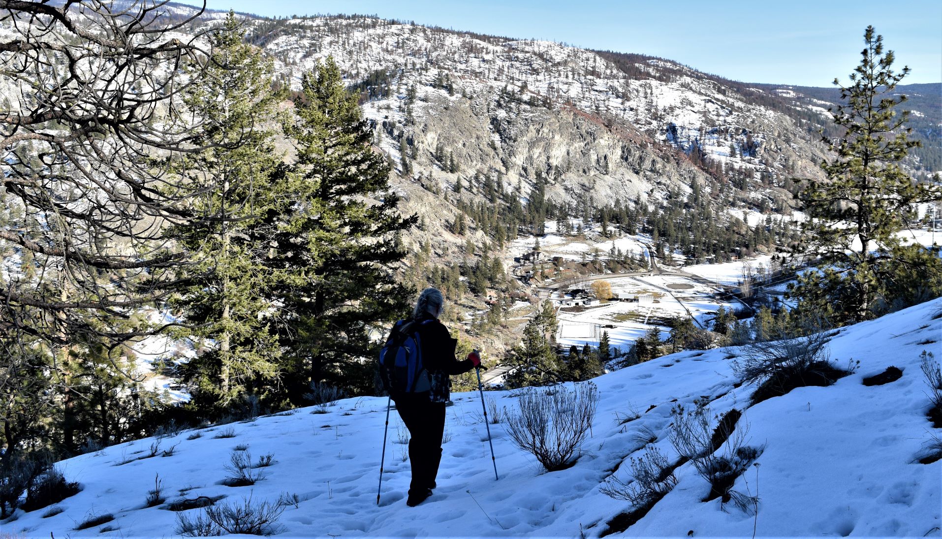
The requisite spectacular views were duly sighted and recorded…..!!!

The way back down was fairly sun exposed….so we ended up having to stay on the snow as much as possible because the exposed ground was very soft and muddy with the snowmelt.

Another very beautiful, very satisfying day out…..

Next post will be a conglomerate of a few trips down the side of Skaha lake…..

Extra Pix

February 6th Lower Parker Loop. An enthusiastic endeavour…!!!

Yee ha……the weather has taken a distinct change for the warmer……but still with snow at higher elevations. The weather network promised us a sunny day so I picked a trail fairly close to home that would keep us in the sun for most of the journey.

Lower Parker loop was the pick for the day. Another trail up by the observatory (DRAO) ……a nice looking loop according to the map….and Alltrails was telling me it had been travelled a few times in the previous couple of days. So off we went….!!

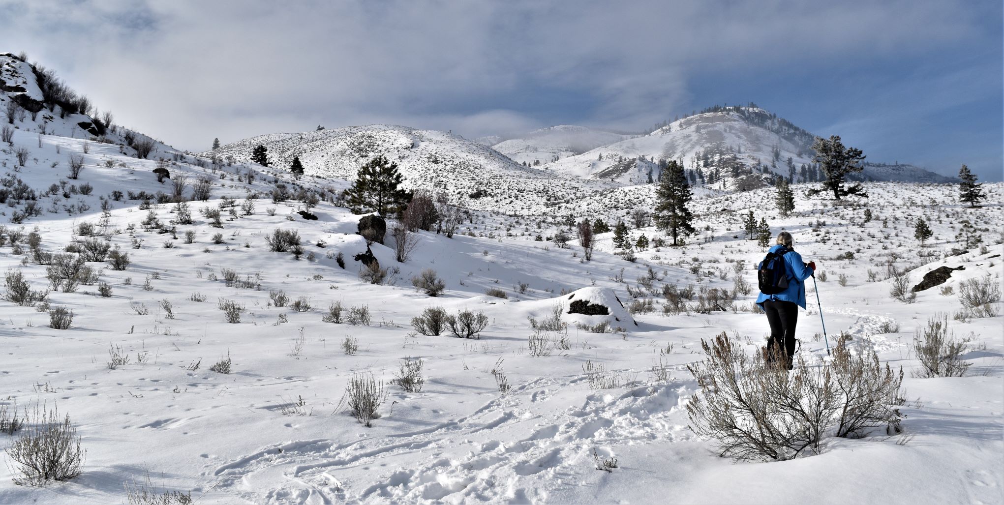
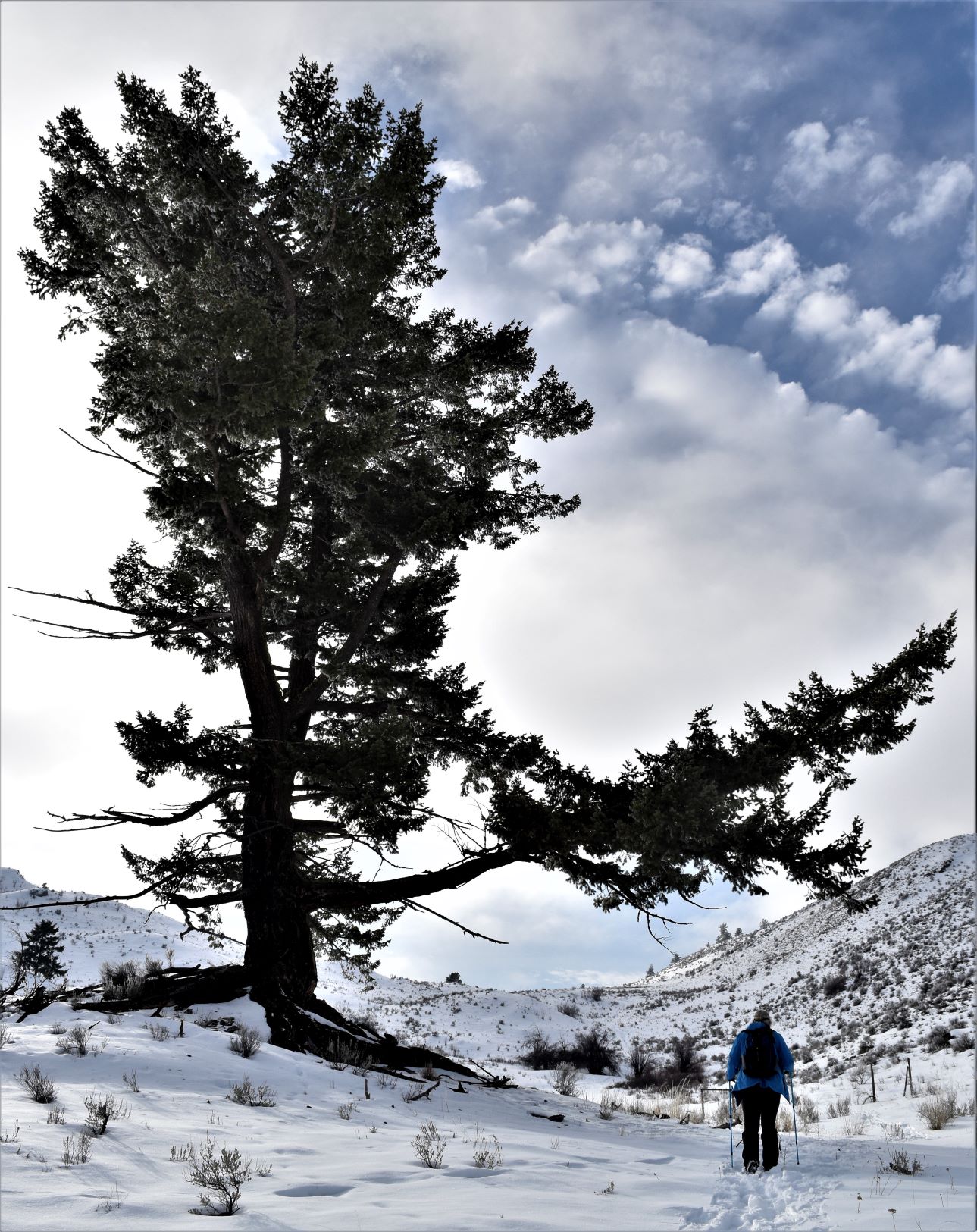
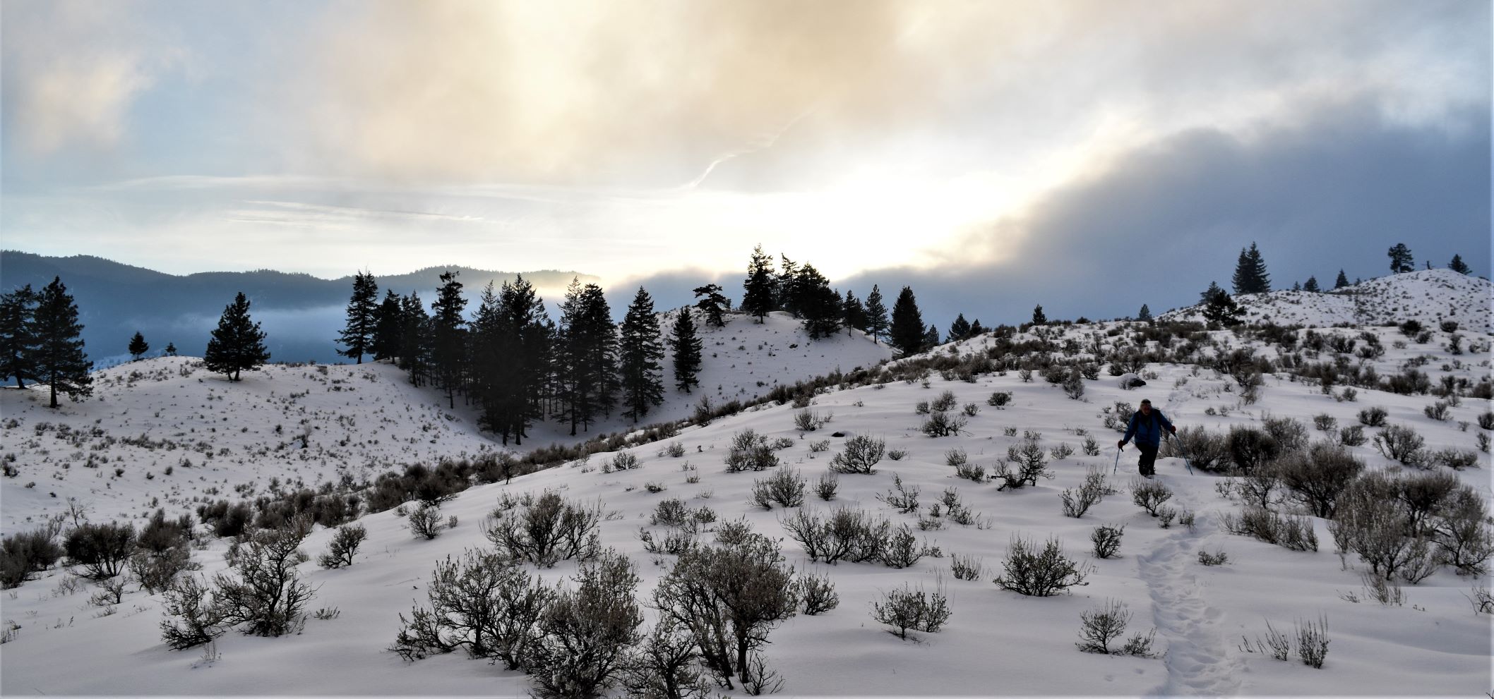
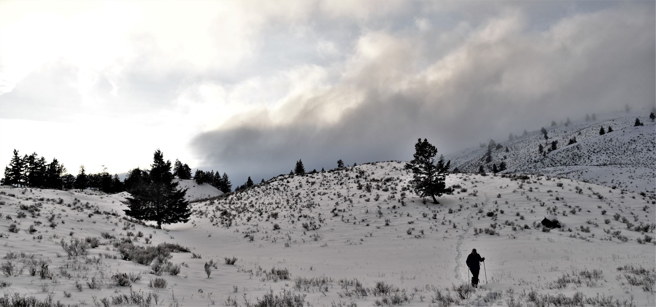
Snow tracking rather than path following on this one. The snow looks shallower than it actually is because the top layer is a bit frozen……

…….so the tracks we are following are mostly from snowshoes, but every half dozen steps or so…..your feet crash through.

It was a truly beautiful day…lots of sun and blue blue sky.

To begin with…its hilariously funny…as your feet keep disappearing….but it gets very wearing very quickly (as Scott described…its a bit like a reverse whack-a-mole where your legs suddenly disappear down a hole ).

The landscape did not disappoint, between the snowy line of the hills/mountains, and the strips of fluffy cloud giving us those calendar page vistas…..the skyline was spectacular.

We were grateful to be following the snow tracks, but even with them, by the time we got to the almost halfway point it had taken more time than anticipated. It is hard work slogging through the snow and we were starting to lose the light. (Editor. So Mho turns to me and and says that we’re less than half way and starting to lose the light and we should probably retrace our steps ….what did I think ? Well those of you who know me will know the answer.) The decision was made to complete the loop rather than backtrack…….

………and then the snow got deeper…..

So now we were almost leaping from step to step (still following someone else’s footsteps.) At this point we decided we were actually going to lose the light if we went all the way round..

……but it looked like we could cut off a section by striking out through the gully rather than round the next hill.

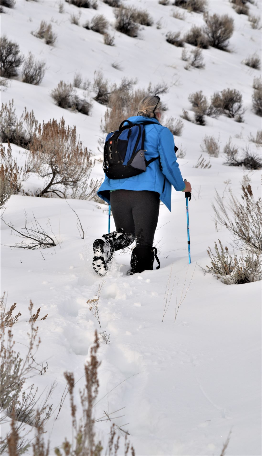
Best laid plans…..the snow (now virginal) was knee deep and deeper…..my gaitors had completely given up staying over my boots by this point…….so we waded through the snow…expecting it to let up any time soon….it didn’t…… LOL…I thought it was going to get shallower as I got close to this tree to fix my gaitors……NOPE…!!

It really did not help that we were killing ourselves laughing as we were falling all over the place in the snow. It still makes Scott laugh out oud when he looks at the pictures of me falling over, or disappearing in the snow….!!! (Editor. I had the unenviable task of ‘running’ on ahead to take photos looking back, then falling behind to take photos in the direction of travel and finally running to catch up again. Somehow we convince ourselves this is fun, sometimes not at the time but it always is looking back.)

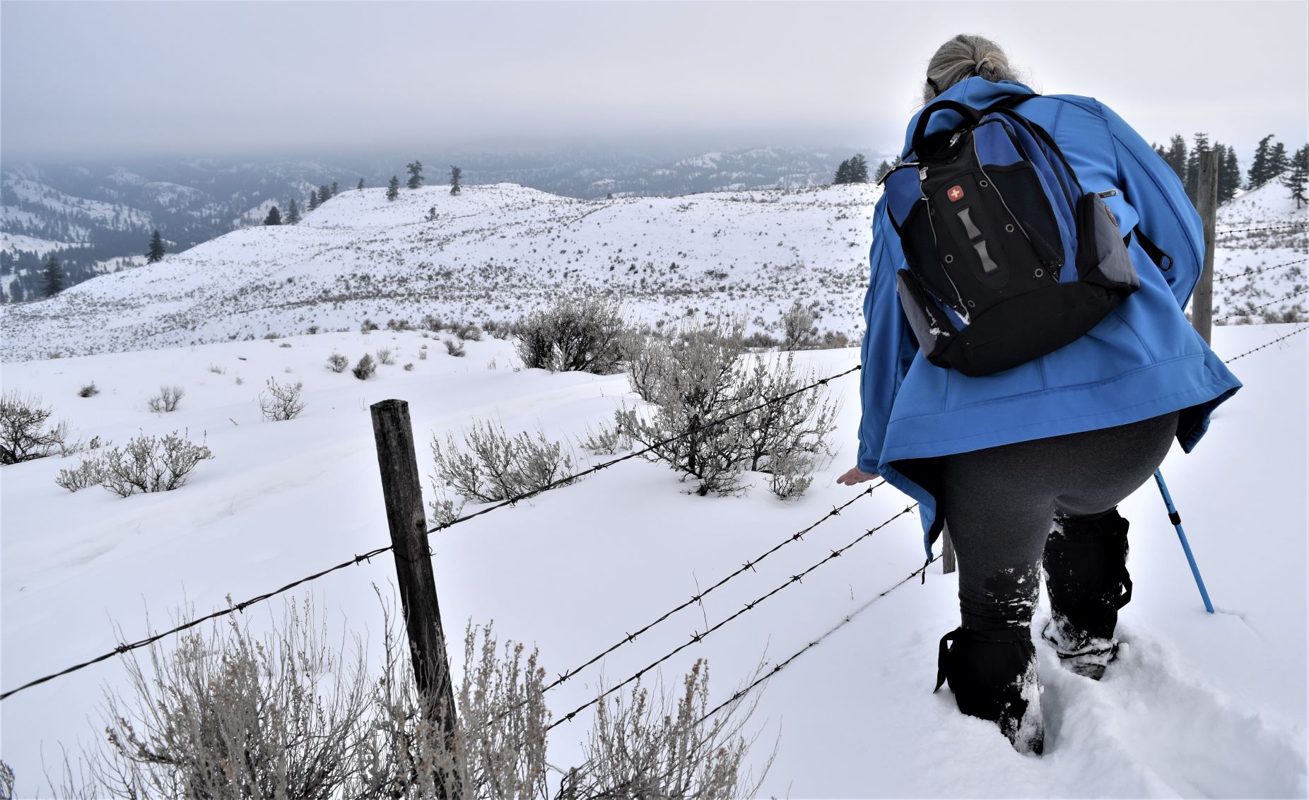
Eventually we got to the fence line and the very welcome sight of snowshoe tracks on the other side..

Yes…that last picture is my leg disappearing…….again…!!!!

A quick check of the alltrails map suggested that this snowshoe trail should lead us down to our start point …and a trail to follow was much easier trekking than breaking a new one. (Another moment of appreciating what the pioneers must have faced…!!)

By the time we made it back to the trail proper…we were both slightly tired…..!!!!

It was a 6 and half km hike……but probably the hardest we have done…

….but so beautiful.

The next post is a day that very much reminded us of the ever present bear population….!!!

Extra Pix (this was a tough one to winnow down the pictures because there were soooo many good ones..!!)
Jan 18th and 19th. Land of rock and ice..!!! (Broken knee mountain..!!)

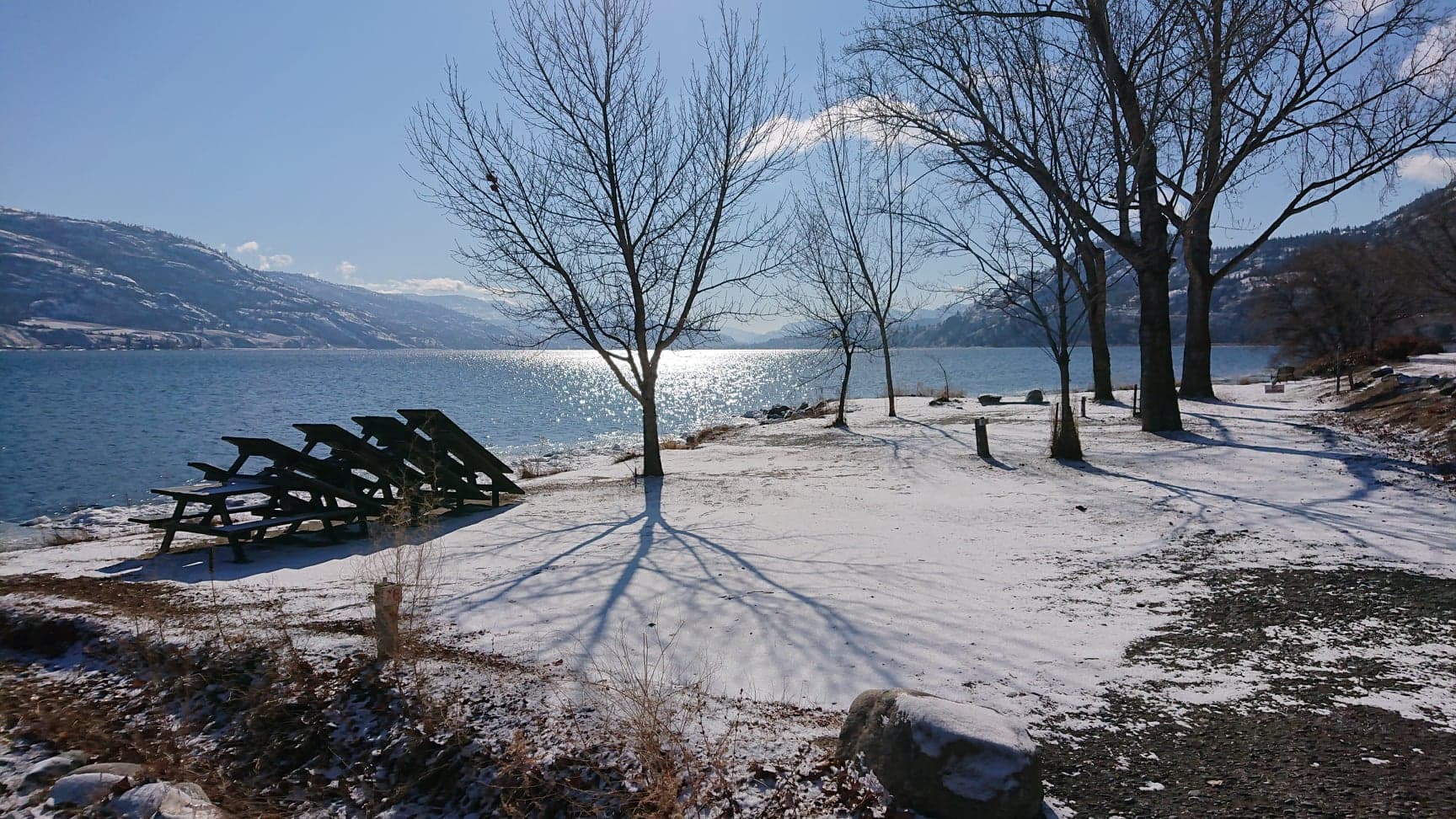
A day of bright sunshine , but not necessarily warmer temperatures took us down to Vaseux Lake bird area again.

(Link to website for this sanctuary..!!)

It is such a spectacular little conservation area right on the side of the highway (highways through the Okanagan is what would just be called a road anywhere else in the world because through the valleys there is generally one road…in and out……that was one of the big issues with the flooding late last year……there just are not many roads…because there are a lot of mountains..!!)

It was one of those blue sky days that we love…so we drove down hoping maybe to find some birds….wrong season I suspect. There were some swans on the lake…a couple of intriguing whirrs of wings through the undergrowth…but not much other than scenery to see.

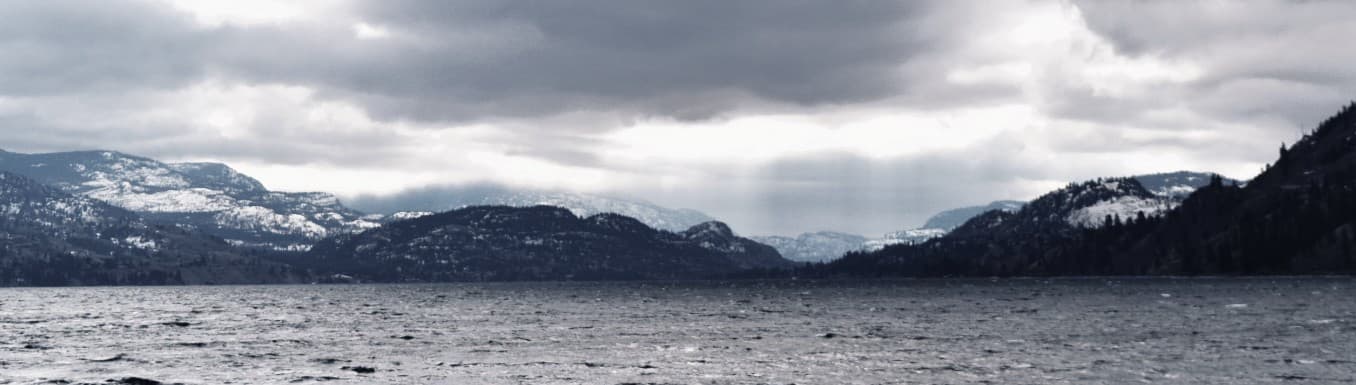
From the south end of the area….on the north end of the lake….as you look down you can see the sheer cliff of McIntyre bluffs…..its kind of chilling to see just how vertical the drop is.

See the source image
McIntyre Bluffs …looking south across Vaseux Lake.

With nothing else in the plan for the day we decided to stop in Okanagan falls and take a look at the trestles…with a view to biking down (28km round trip) with some warmer weather.

With not much else for entertainment on this frigid day it seemed like a good idea to drive back up the east side of Skaha on the return to Penticton (highway 97…the main highway is on the west side)

Its a lovely road….a narrower, sinuating backroad (with, much as you would expect, a radically different vista). About a kilometre before the Penticton boundary, we spied a small parking area with some Conservation signage. Had to stop…..after some stone skipping on the lake (see ……here )

We checked out the sign…and I had a look on Alltrails cos I couldn’t believe that I had missed such a promising looking trail…..to find no entries on that trail.

So …I learned a new skill on Alltrails and drew my own trail map to follow. (Woo hoo..!!)

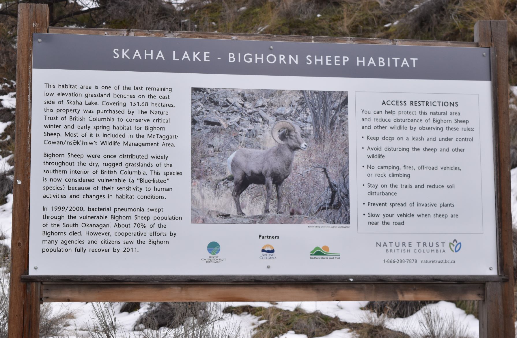
The trailhead has a big information board on the re-establishment of the bighorn sheep population.

The trail itself was promising it started out with a fairly level trail heading south along Skaha……with the kind of views we have come to expect…!!

There was a little bit of bushwhacking to get us all the way over to the trail we were trying to follow…..

The trail was still making some promises We met a couple coming down that said thee was a bunch of mountain sheep at the base of the rock face………

We were headed in a slightly different direction tho…..It was yet another one of those walks where the terrain kept changing as we went up.

…and of course…the breathtaking views …

It also got snowier the more we climbed……but as it was a fairly steep ascent we were getting warmer rather than colder……as you see progressive layers of clothing being shed…!!!

The path became a rock face. A rock face interspersed with icy patches and the grade was still increasing at this point. (By this point we are both laughing out loud at our ambitions…!!!)

At this point, following someone connecting his kneecap (loudly) with the rock ‘path’, we decided it might be a better idea to go in another direction and follow a more lateral path…!!!(Editor. The peak in the distance of the photo above left was our goal, approx 4km of ice and moss covered smooth rock. The tap on my shoulder from mother nature was enough to convince me to try again another day )

So in the interest of ‘living to hike another day!!” ……we changed the plan and struck out a bit more sideways.. This tracked us back to the very end of the trail we did with all the pictographs .

…and going down is always a bit harder than going up…….!!!

The lake is so impressive, even from the lower elevations….

Another very satisfying day out.

EXTRA PIX