Kentucky 4. Finger lickin’ edible

Corbin turned out to be a great spot for a bit of R and R….(as well as the occasional killer hike…!!!)

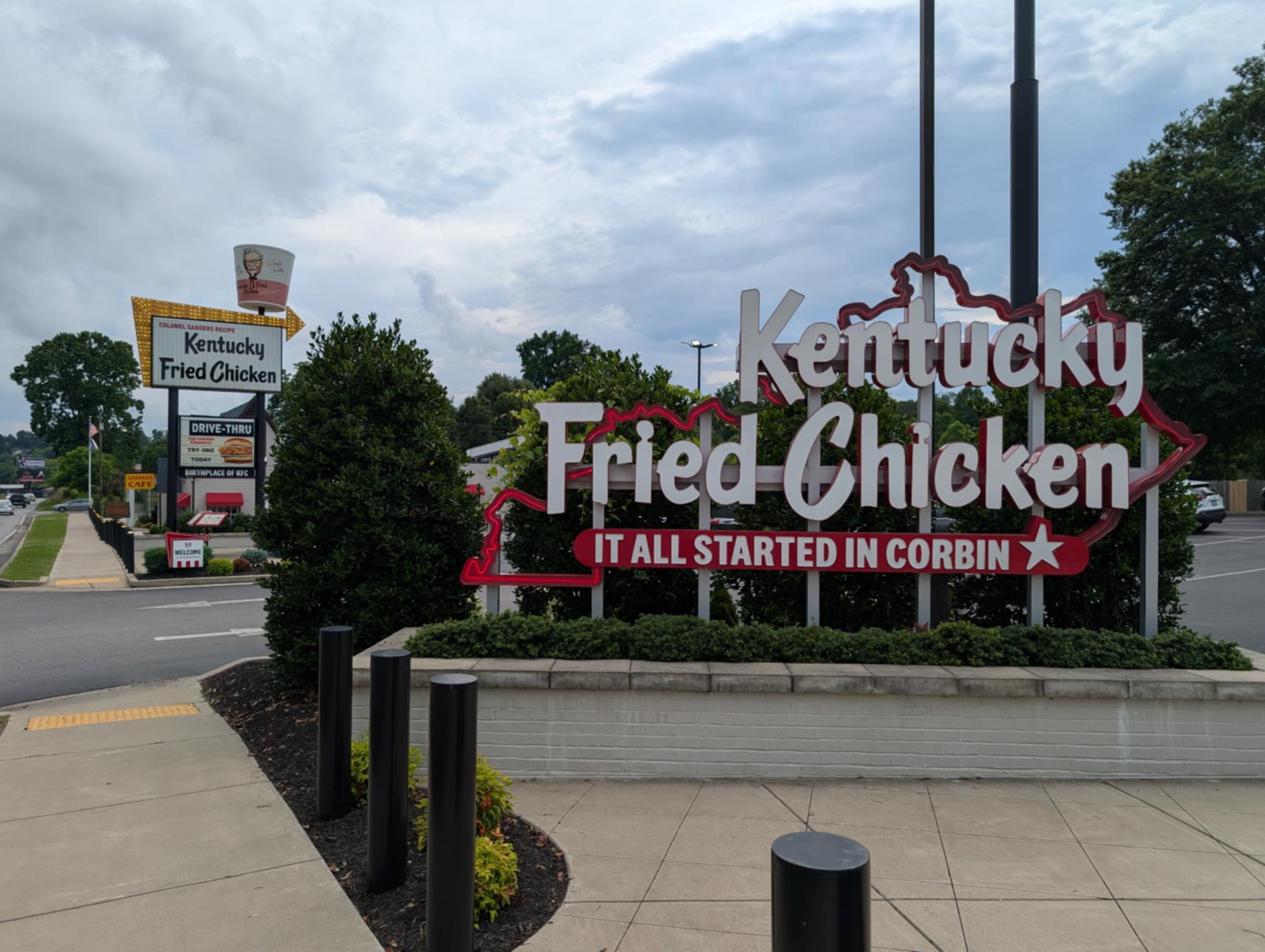
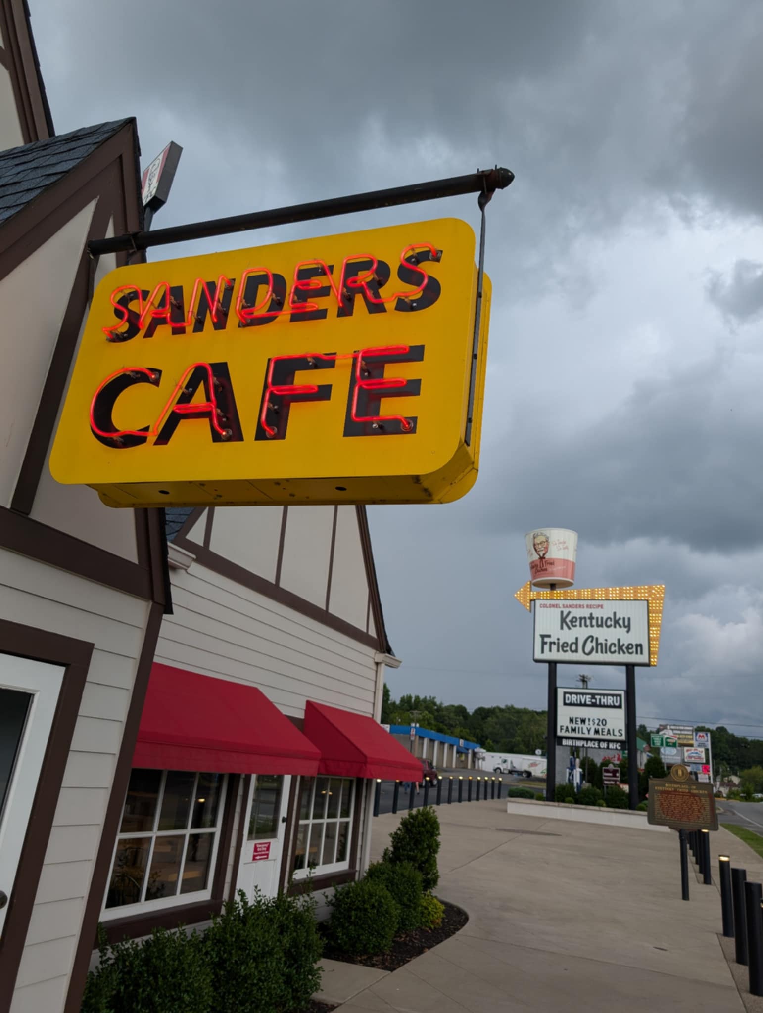
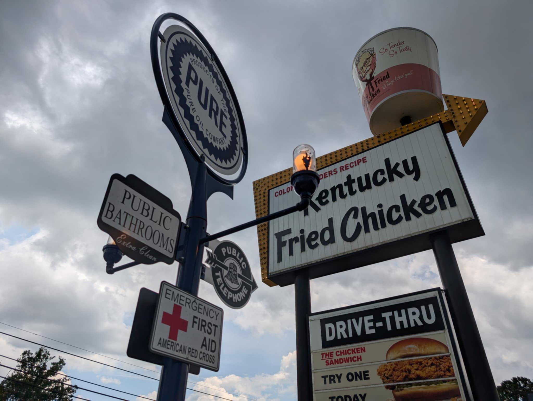
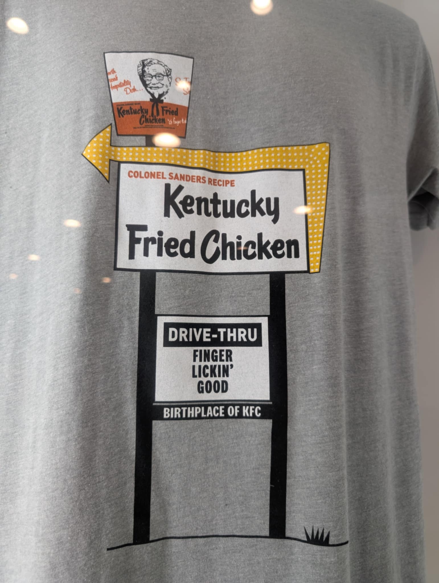
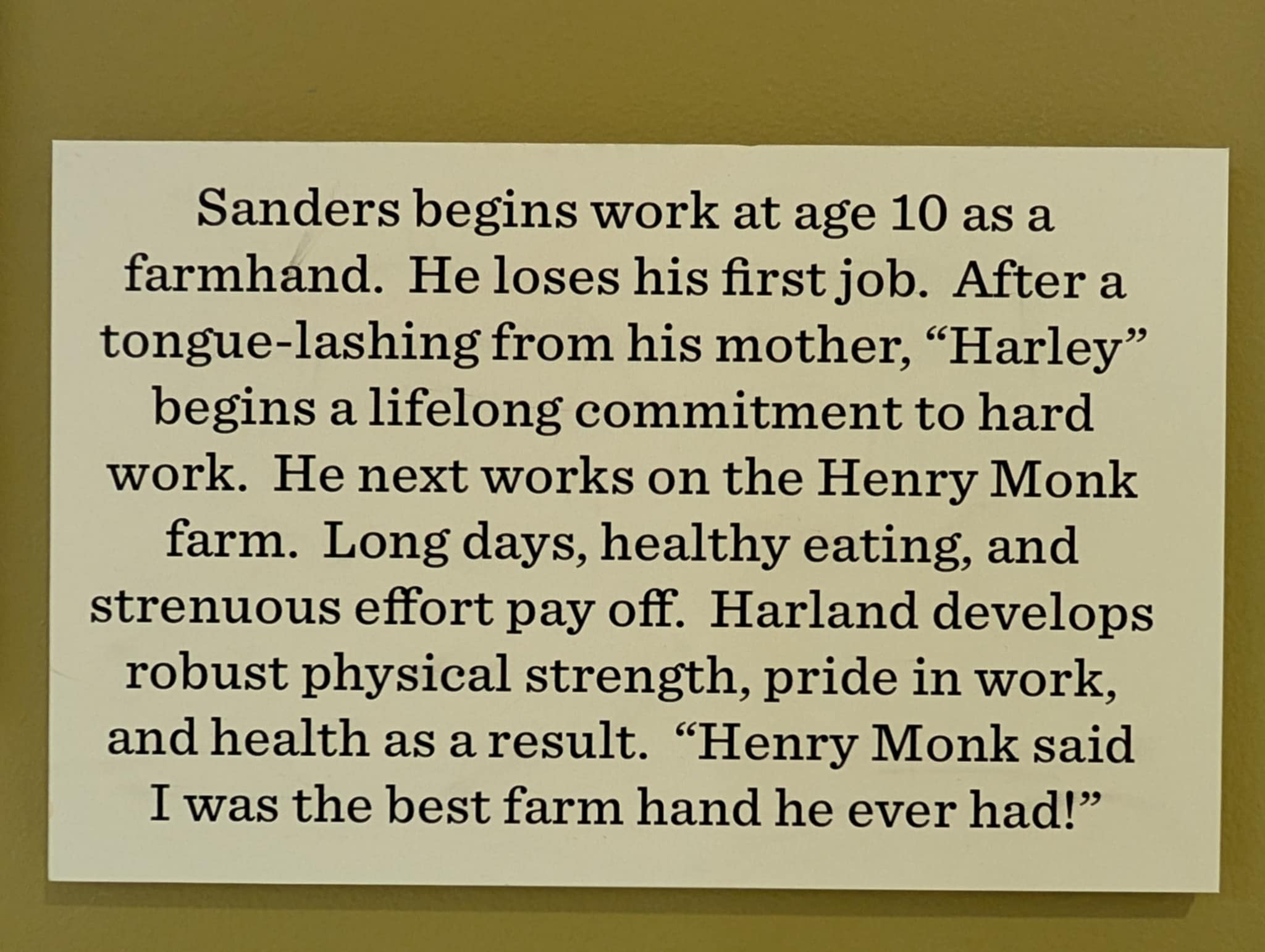
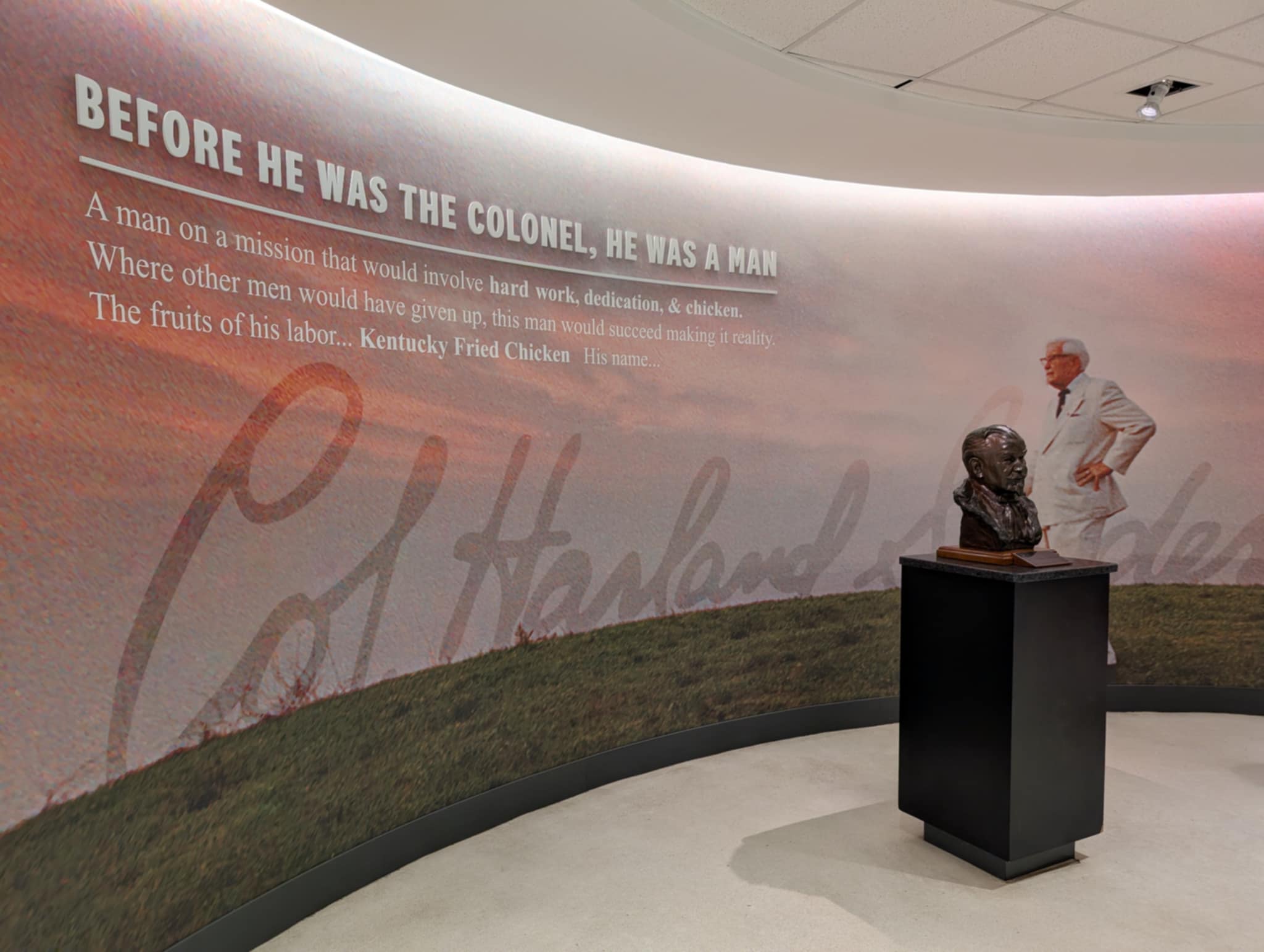
After the long weekend of fireworks (yup from Thursday to Tuesday…fireworks every night) our big ‘who-knew-it -was-there for Corbin Kentucky was…… the actual birthplace of KFC, Kentucky Fried Chicken.

I cannot confess to being a fan of KFC….however…when in Rome…..

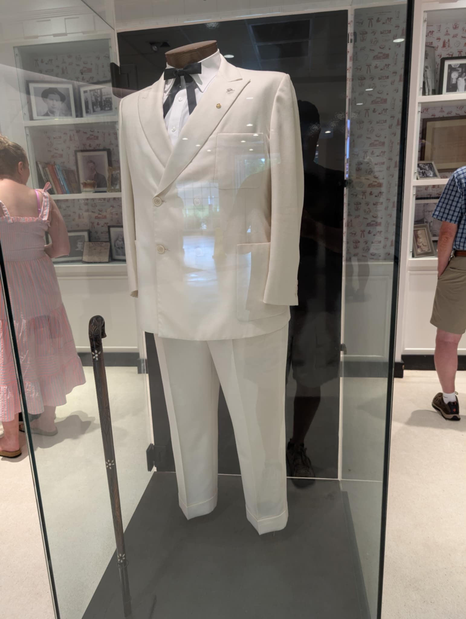
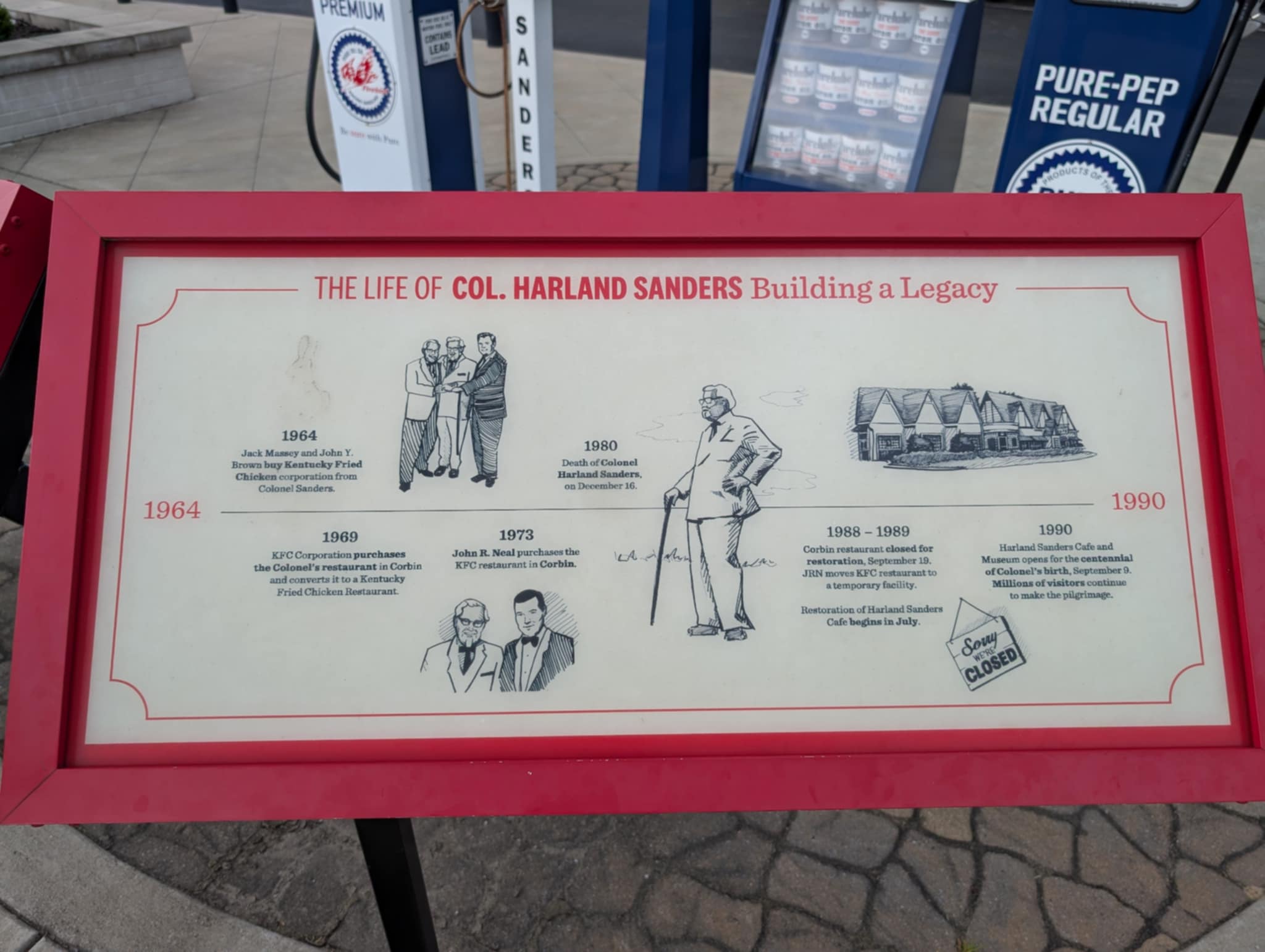
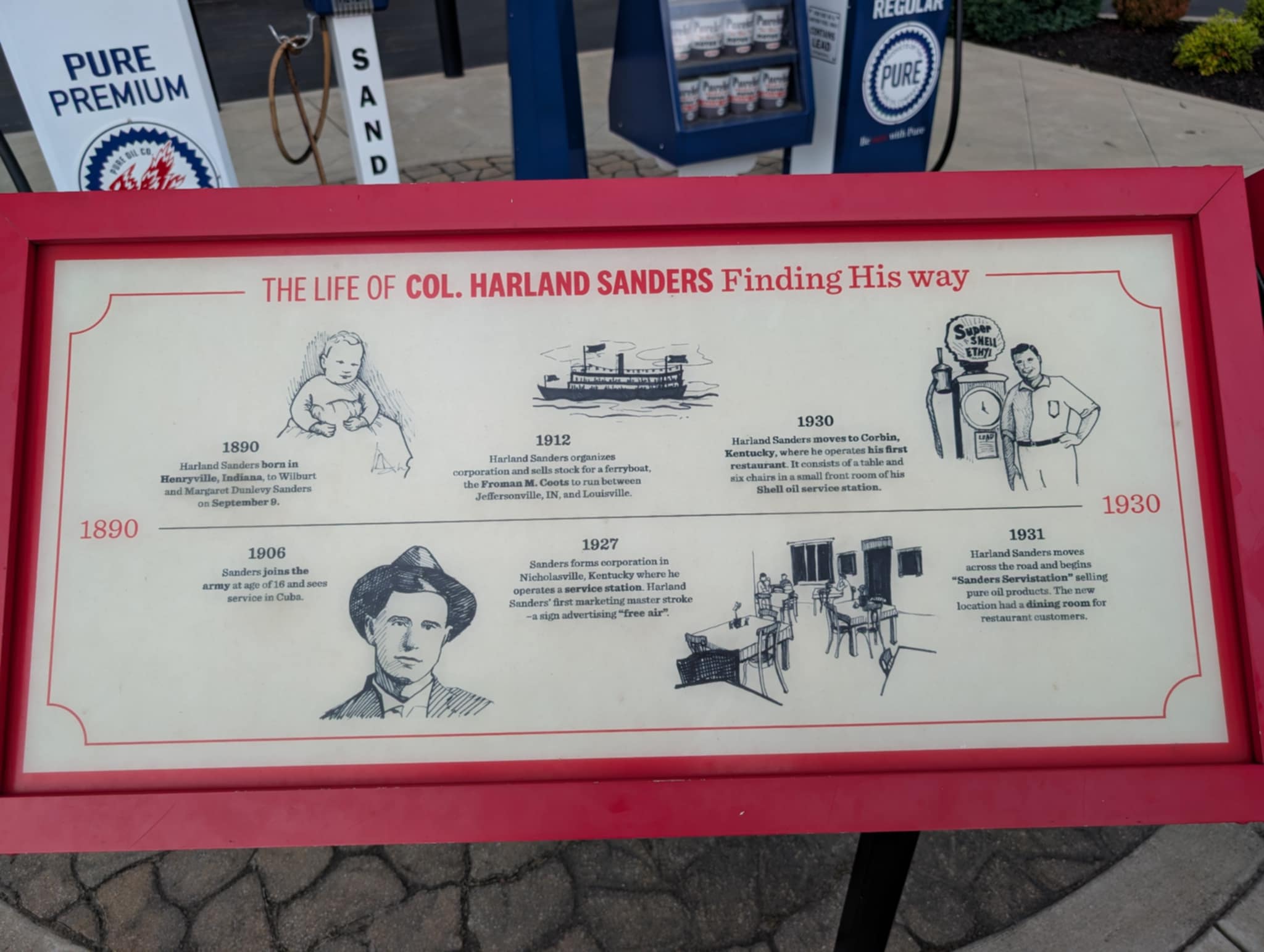
So of course we had to go down to the Harland Sanders museum..

..and yes we had to eat there.

I can’t tell you if it was finger licking good cos we had the pot pies (who knew KFC did pot pies) which were surprisingly good…not overly salty or greasy and made with real vegetables…..LOL…..

Like so many American icons…the museum is a much more fascinating place than you might expect……

….and like most things…when you look at where they started…….there’s an interesting story…and Harland Sanders was definitely an interesting man.

Kentucky 3. Trying to kill Steve (unsuccessfully..!!)

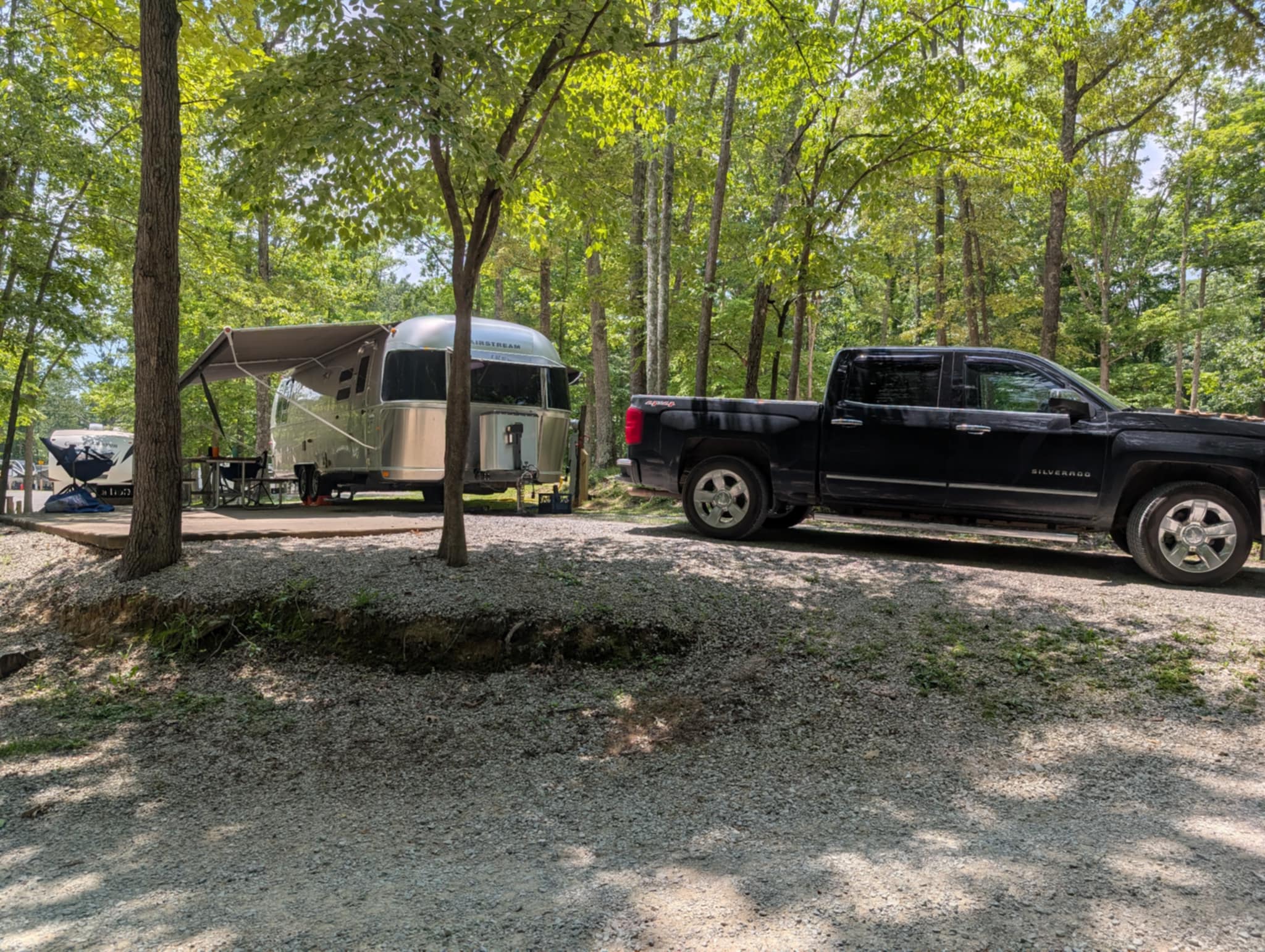
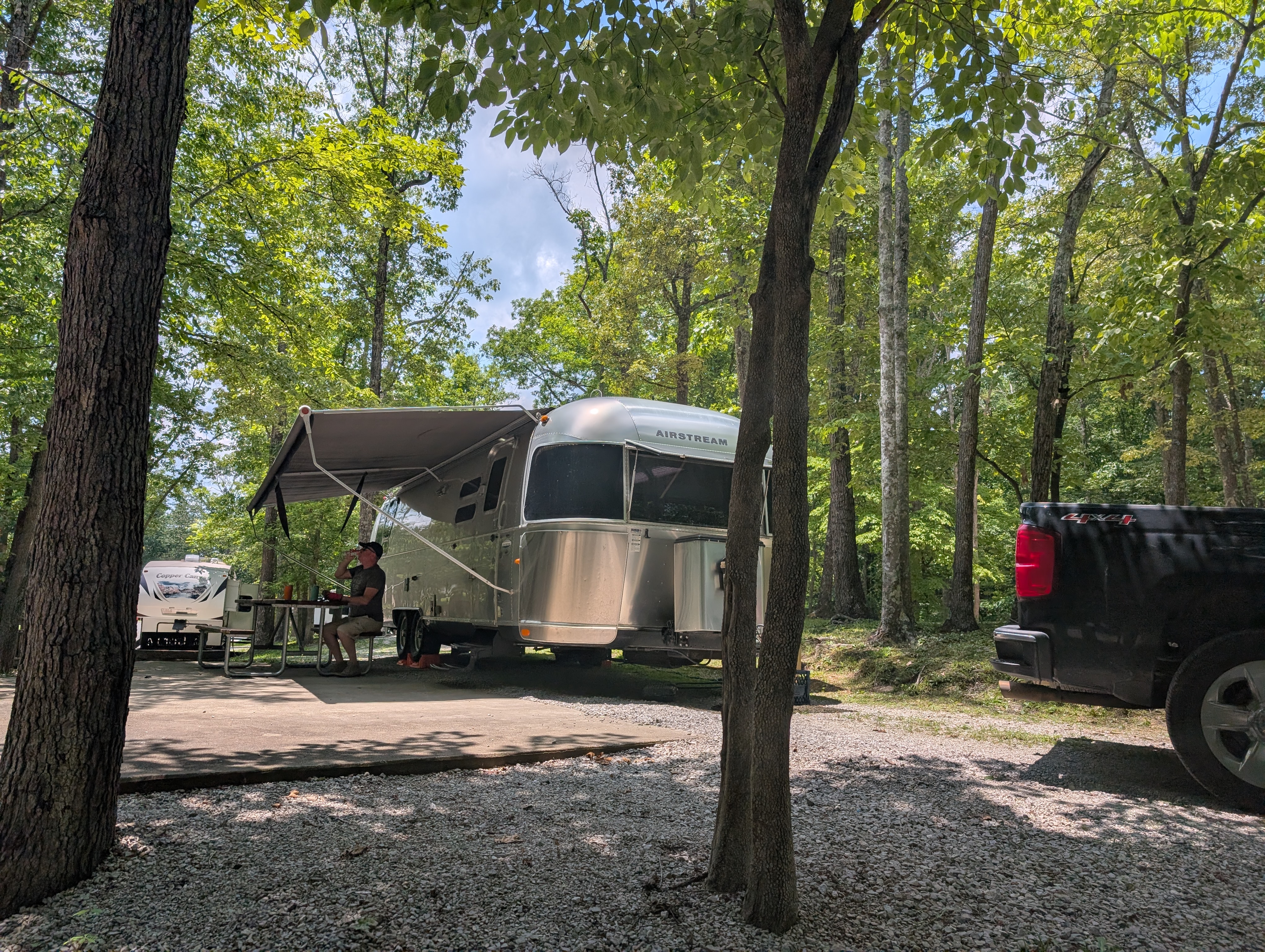
As we continued our journey south, searching for a spot that was accessible for the Daniel Boone National Forest…and had a site available over the long weekend (July 4th being a ‘thing’ in the USA…!!!) I snagged a site at a KOA campground in Corbin, Kentucky.

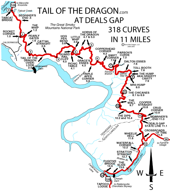
It took us close enough to another expat friend (Hi Steve..!!) who lives in North Carolina to make an epic drive (he drove up through the tail of the dragon) to come and join us for the weekend.

Searching for this campspot, I was really more concerned about finding a decent location to stop during America’s ultimate party (and fireworks) weekend…..not following the brief of the bourbon trail. So…I managed to book us into a town that bridges two counties….both of them dry counties…LOL…so much for obscure bourbon tours and tastings.

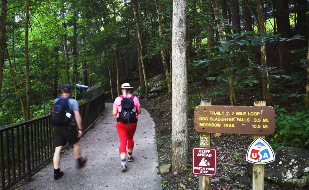
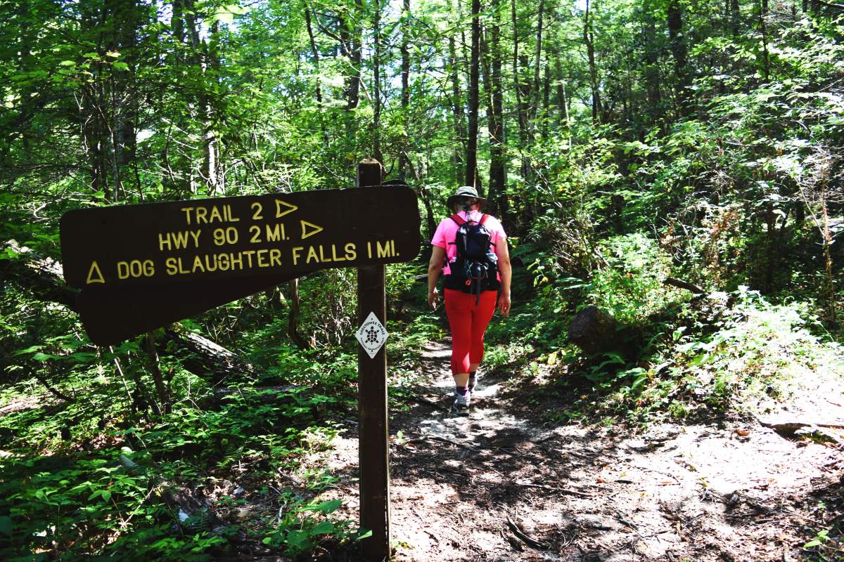
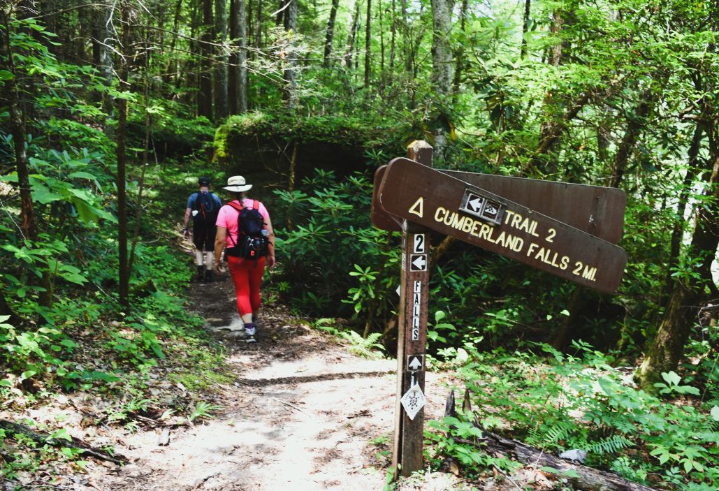
We made up for it by having Cumberland Falls State Park right next door. Between us we picked a hike, which according to Alltrails was a moderate, 9.3km, 2 and a half hour hike. …and enticingly named Cumberland Falls and Dog Slaughter Falls (we preferred to read that as Dogs Laughter Falls….it just felt less disturbing.)

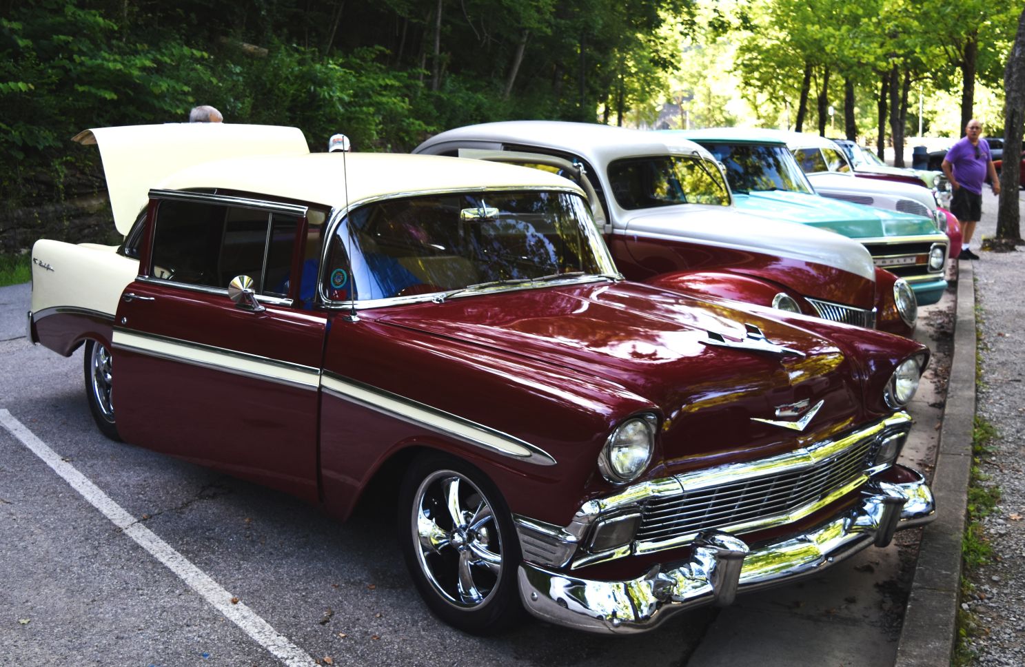
An early rise to beat the heat and the parking lot had a few vintage vehicles show up before we started….

We admired them for a bit then donned our boots, hoisted our packs and set off……

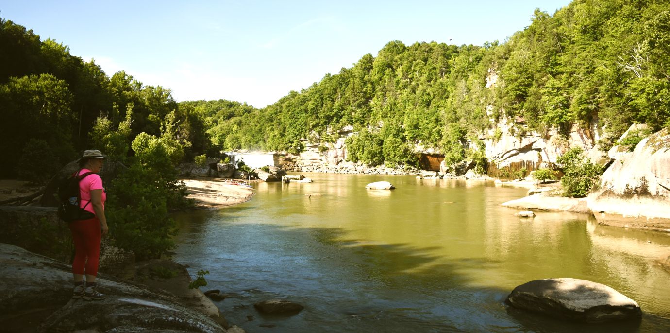
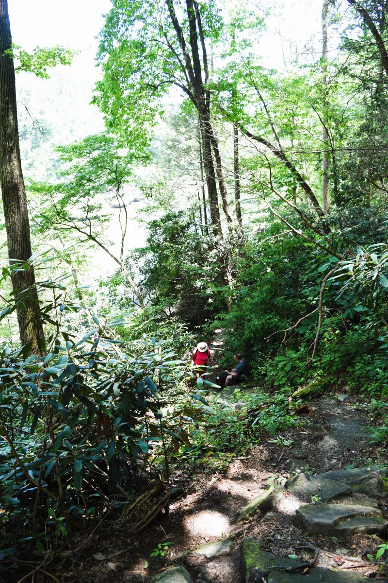
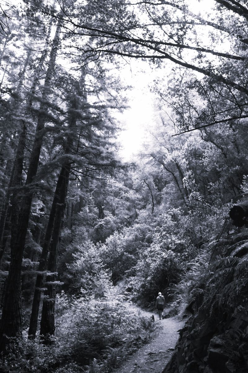
The trail was lovely and followed the river….as we began there were multiple rafts and kayaks lowering into the water to follow pretty much the same path as us.

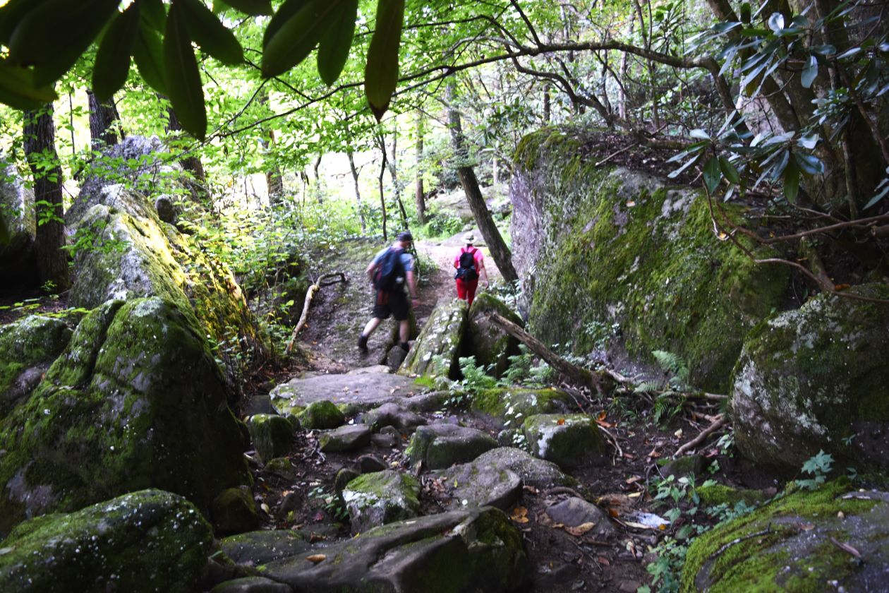
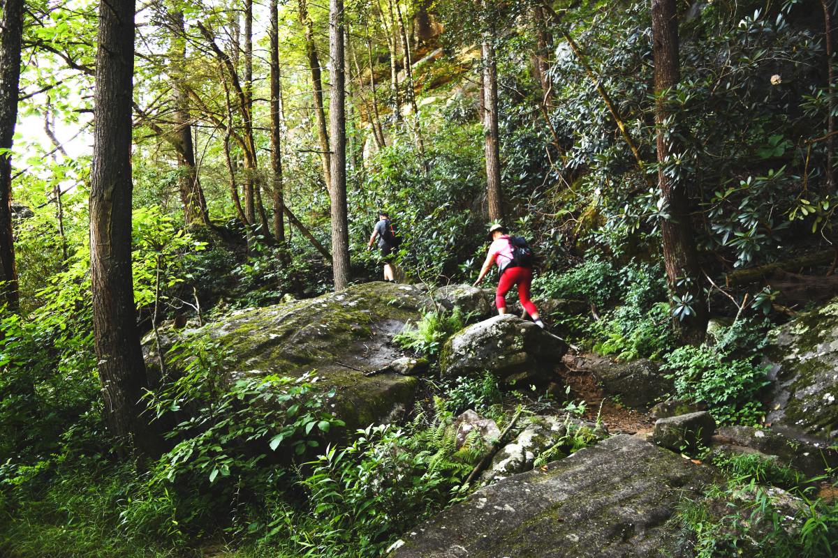
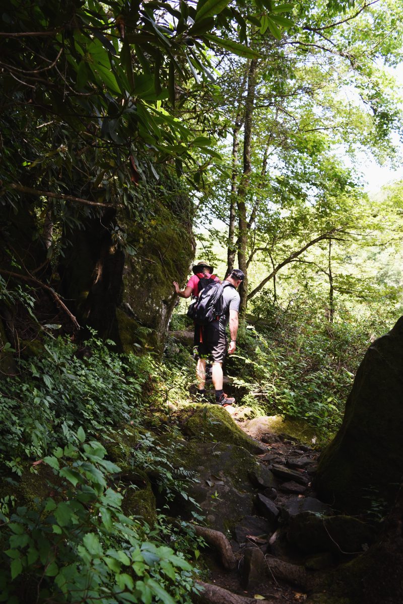
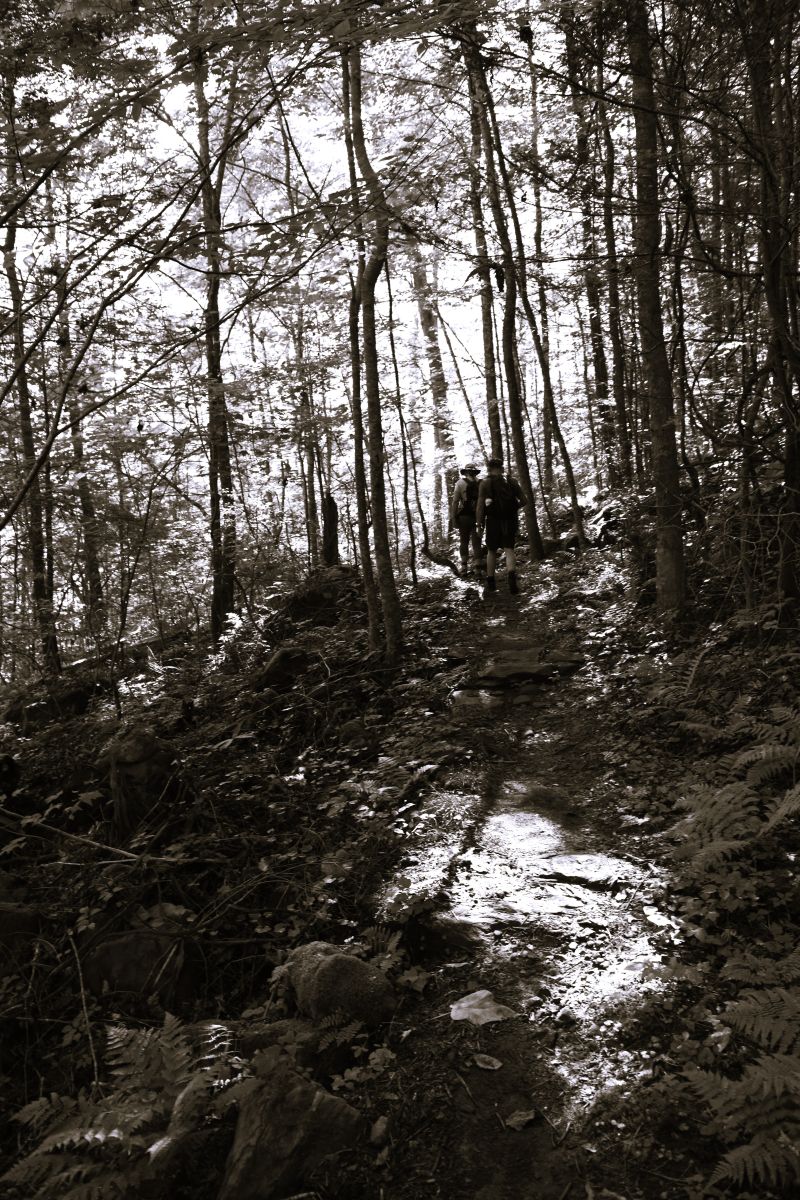
The path was rocky and up and down most of the way………

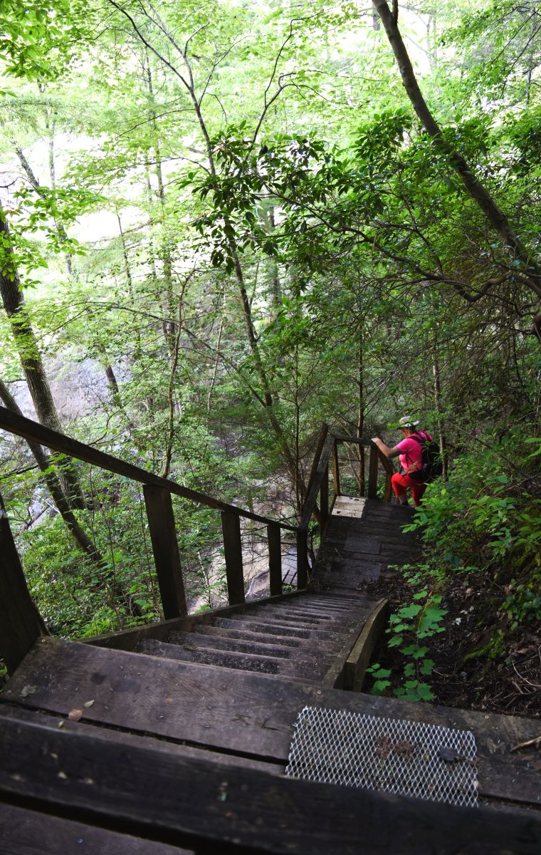
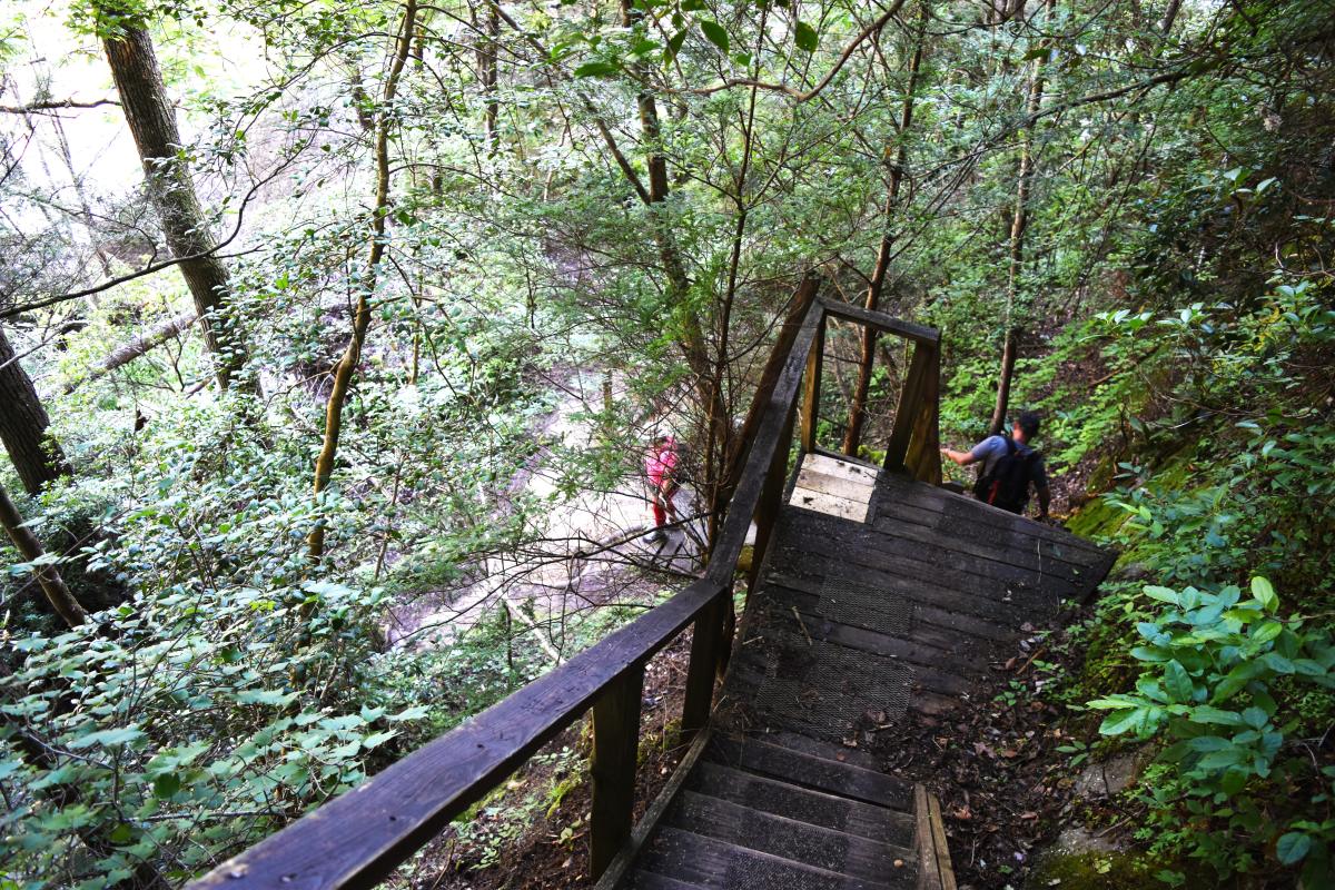
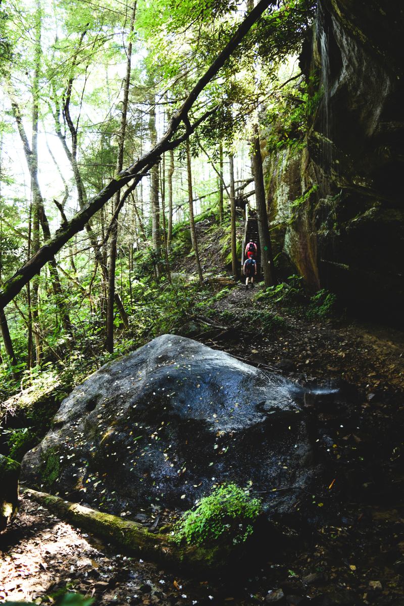
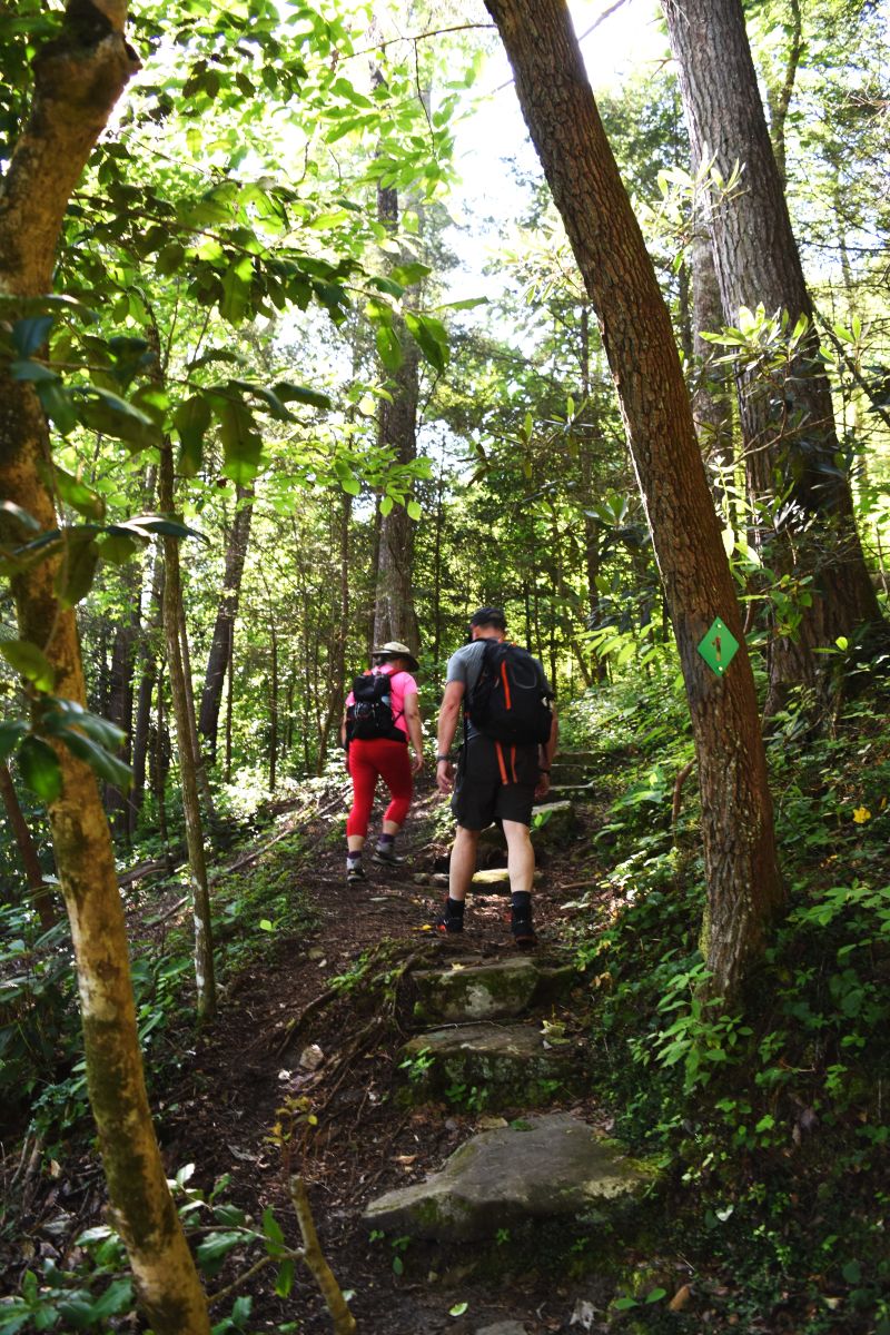
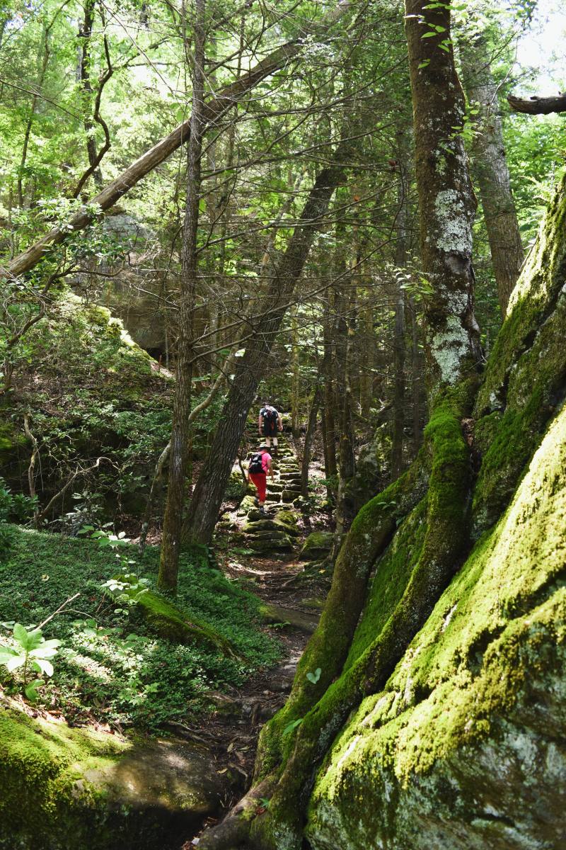
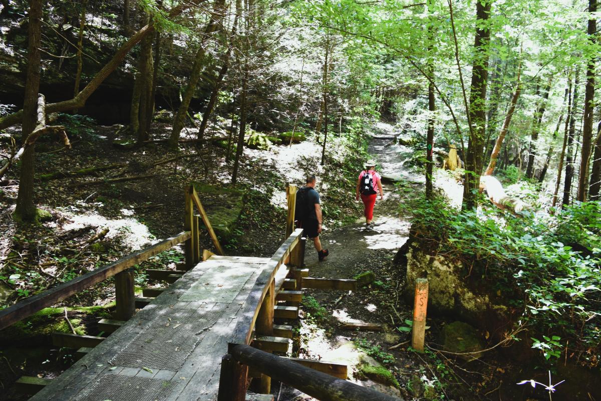
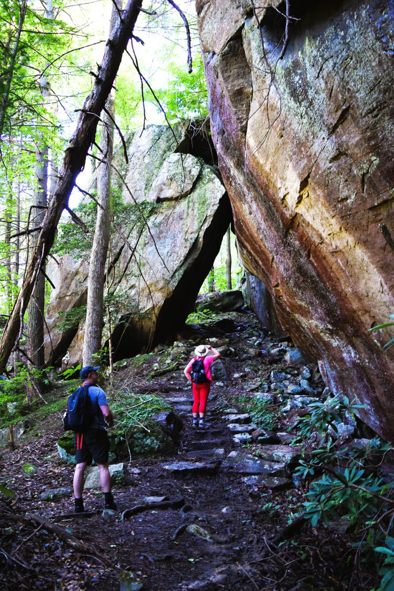
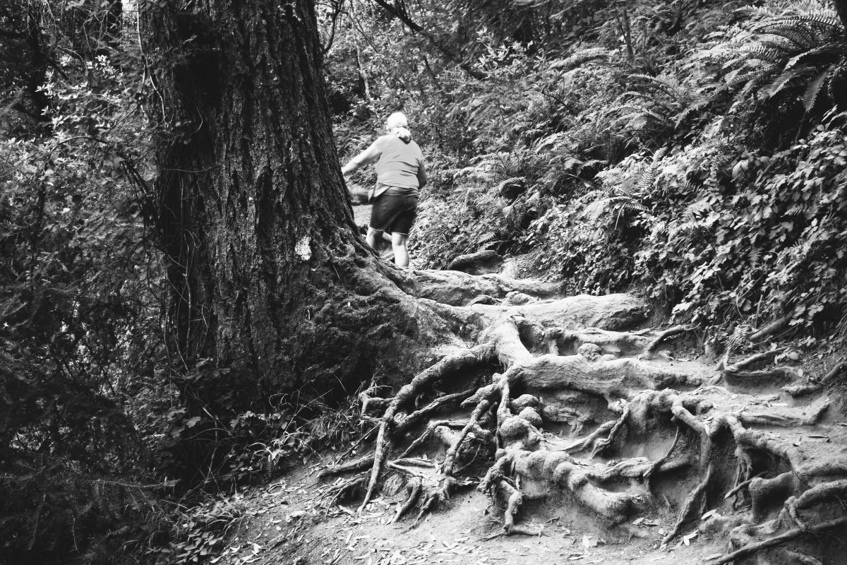
Many parts had stone, or wooden constructed stairs…the stairs blended with the environment by being extremely uneven and treacherously moss covered.

All requiring careful foot placement.

There were spots where we opened out onto the river again……and the rafts were not catching up to us…

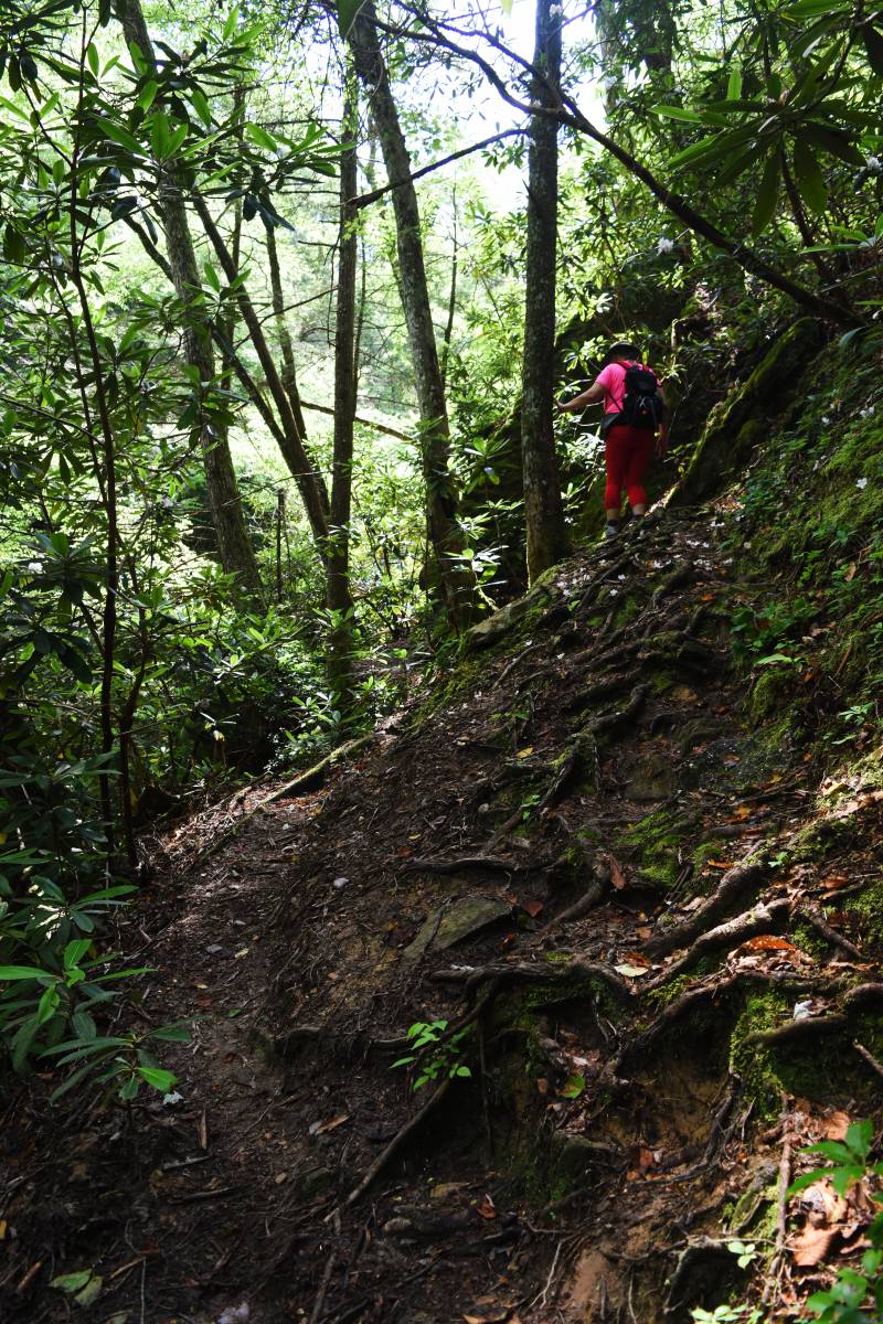
The trail proved trickier than its promise…..lots of little ups and downs ……

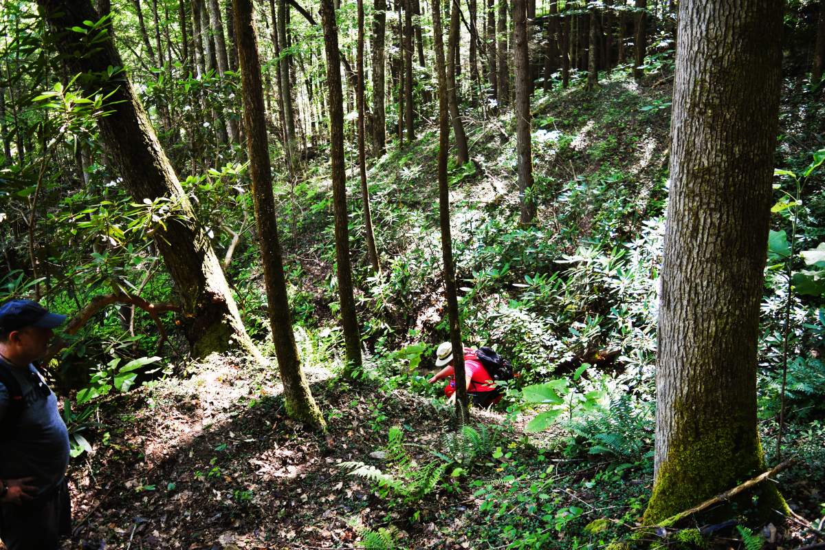
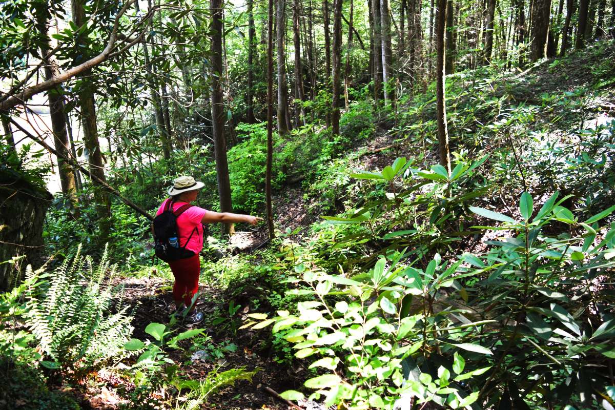
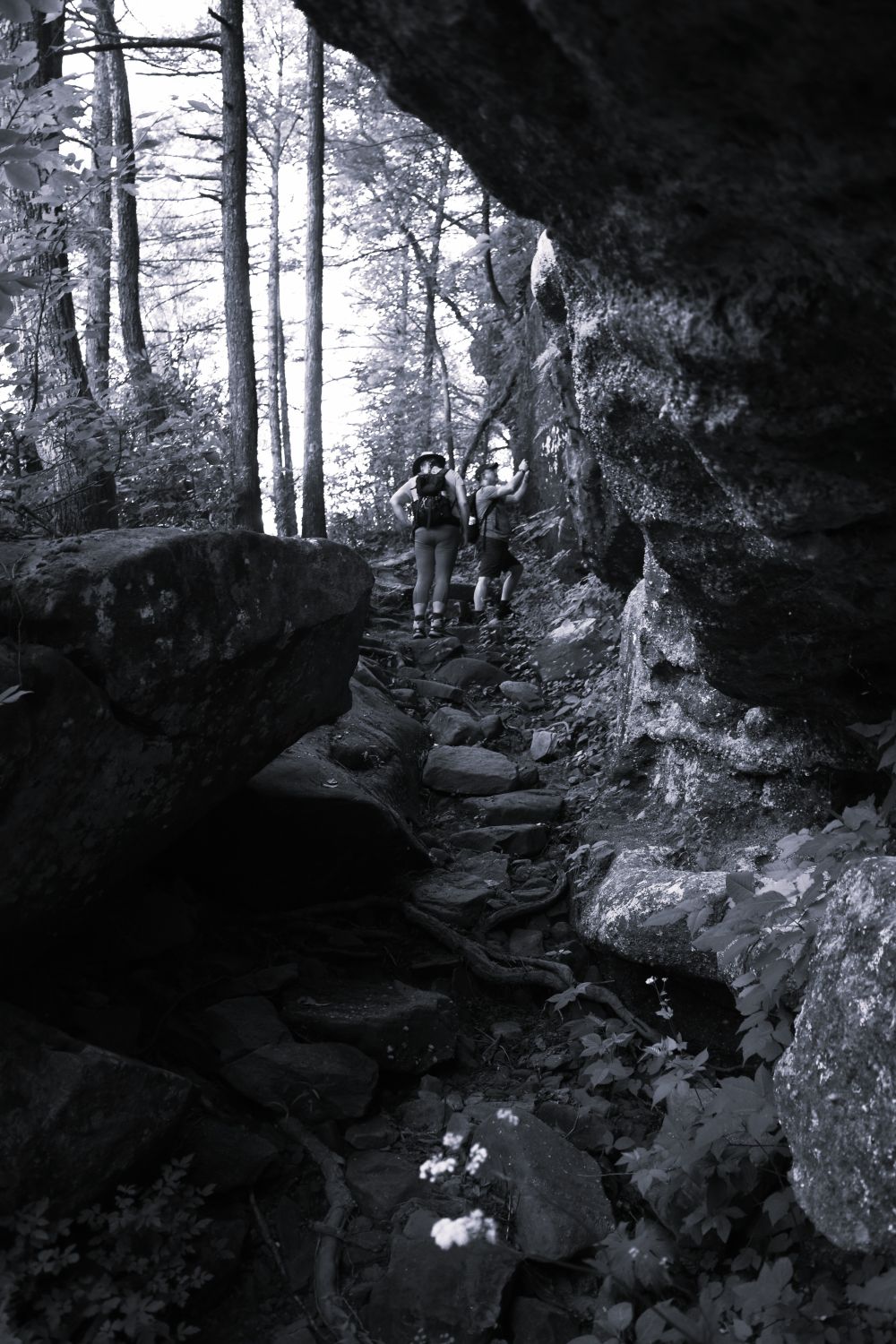
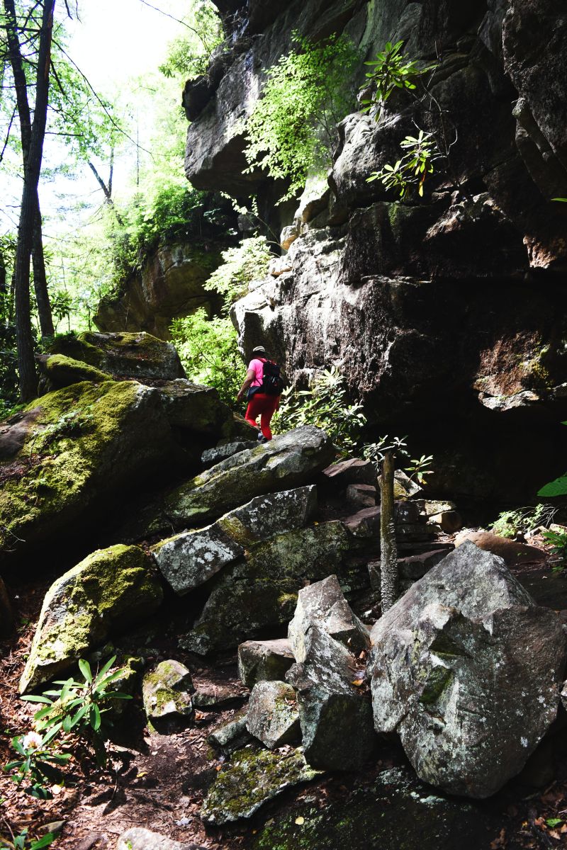
A bit of rock clambering and a few spots where downed trees blocked the path requiring looping up and scrambling through some pretty dense forest.

We were grateful for the shade on this trail as the temperature climbed….. also grateful for having started early enough that we were not at the peak heat of the day.

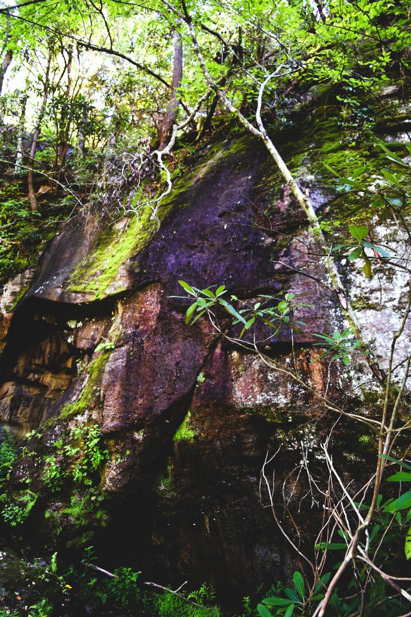
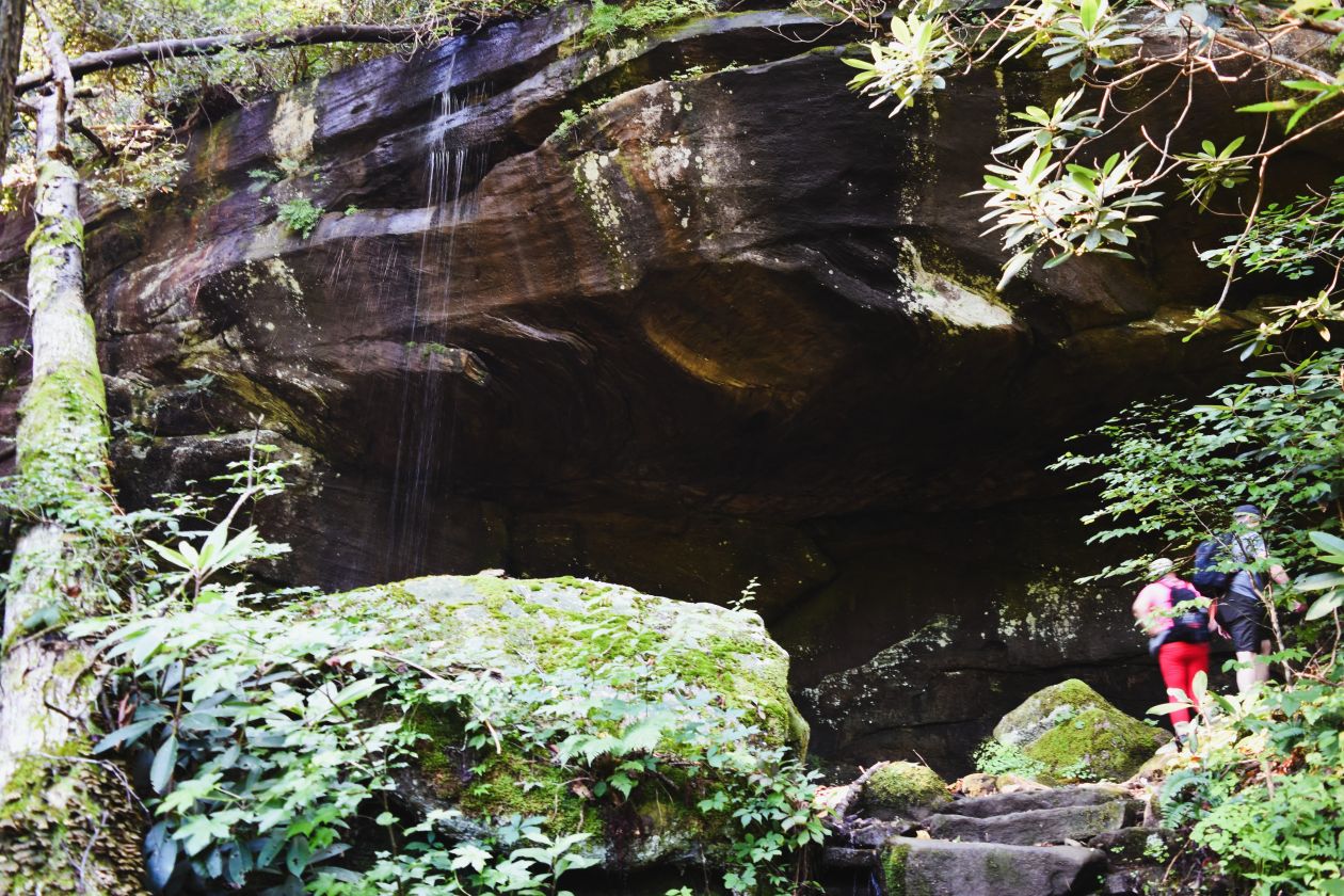
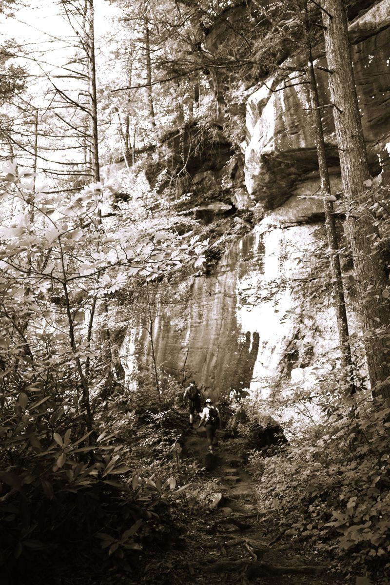
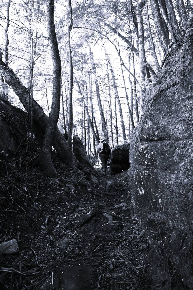
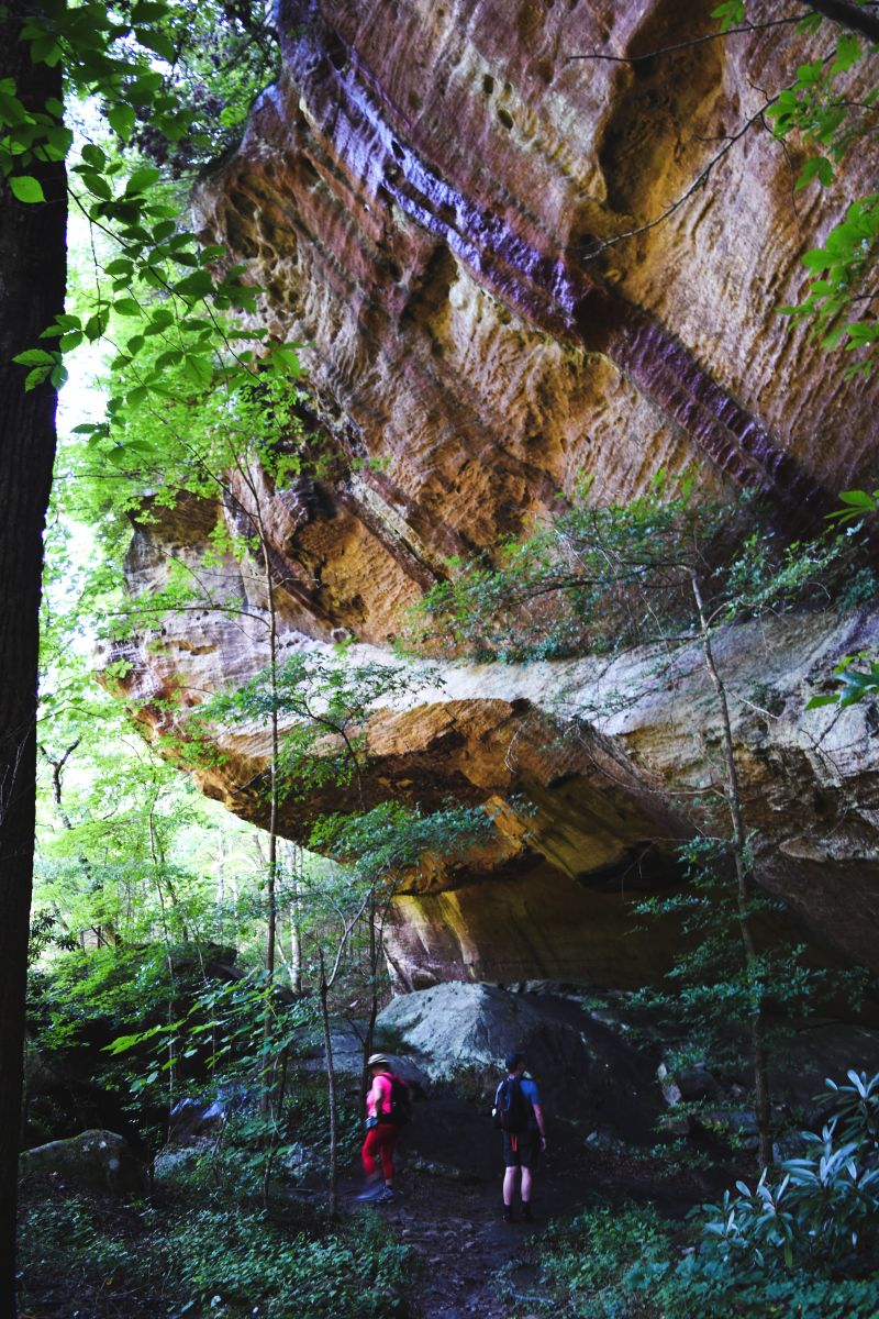
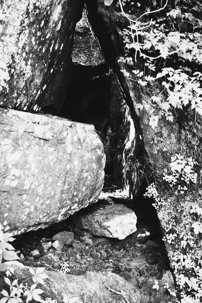
But there were lots of rock formations and overhangs to stop and stare at….

….and many stone ‘staircases’ (mostly moss covered and slippery)

Many spots with downed trees that required climbing over …

….or completely re-routing around

…..and a few narrow paths to edge around…… (not my favourite)

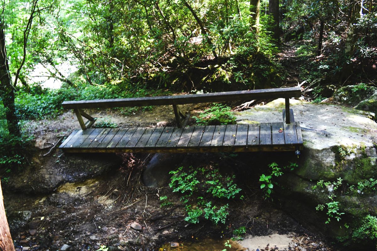
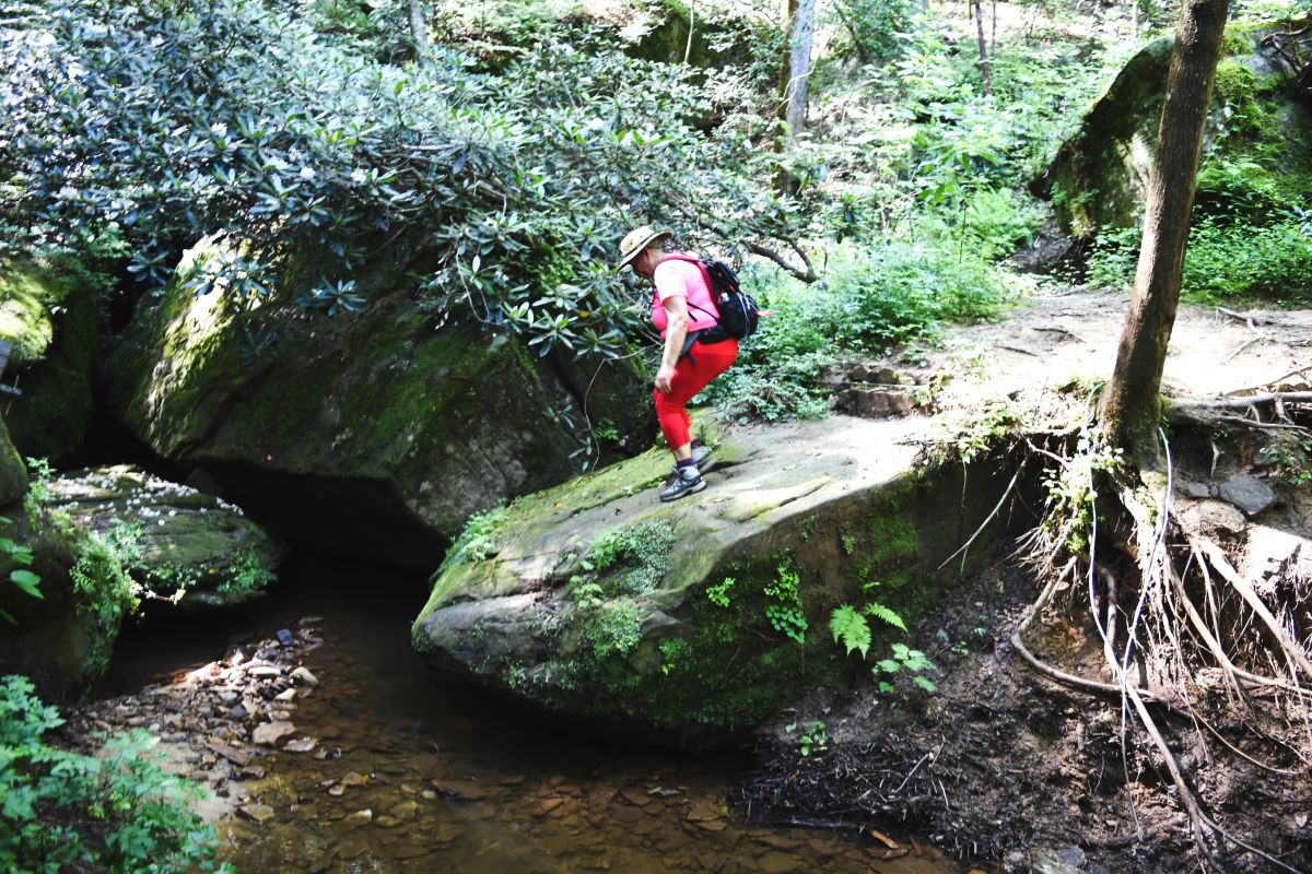
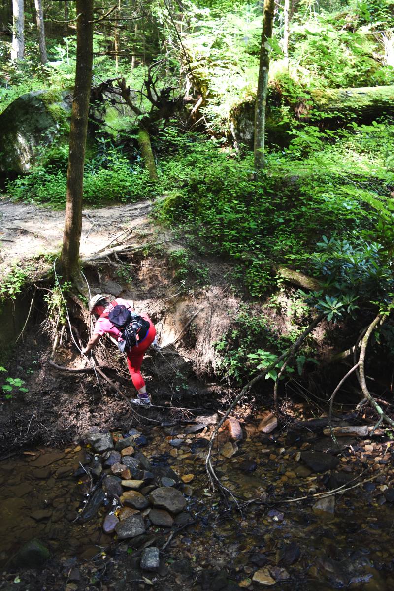
Crossing one of the tributary creeks to the river we came across a well placed bridge. I am not a fan of jumping into the unknown…..so after the boys leapt ably across the rocks….

I chose to scramble down the mudbank (yes I am a big wuss..!!!! )

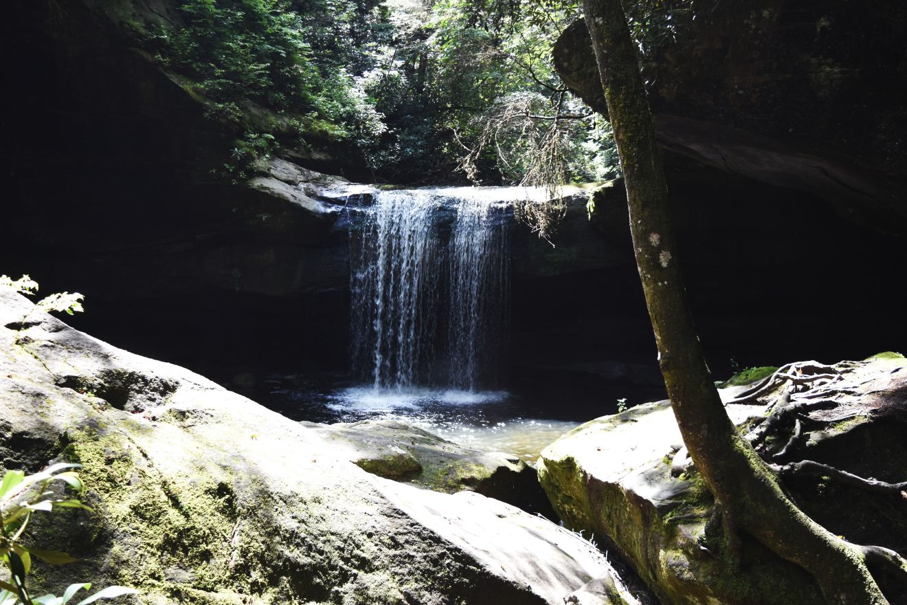
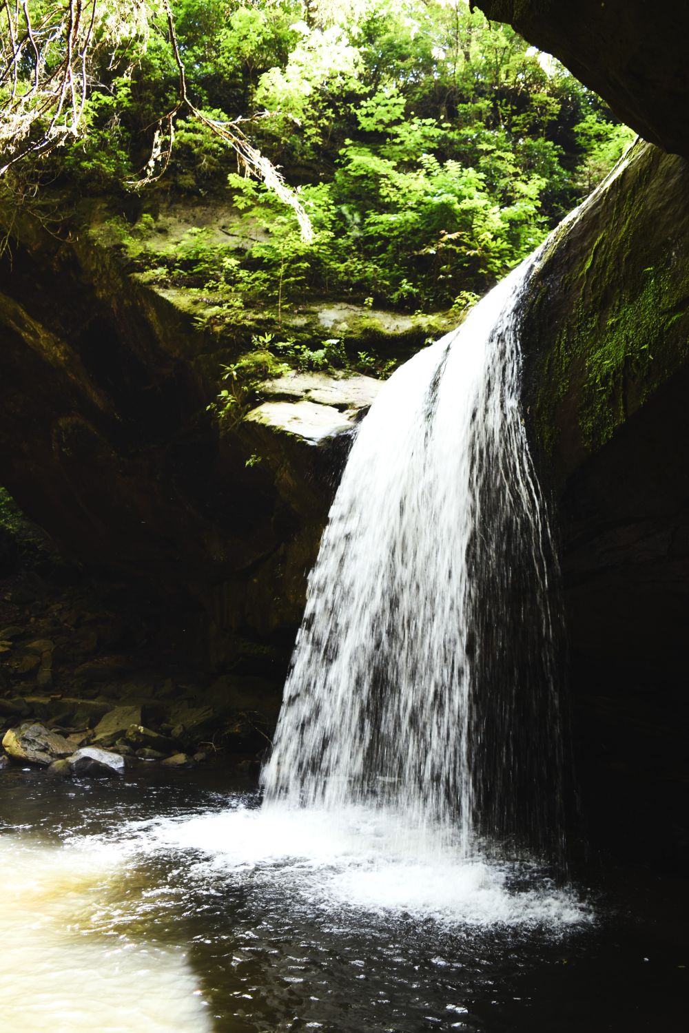
Hydrating amply as we walked (between the humidity and the sweat we were all pretty soaked by this point) we made it to the last little climb to Dogs Laughter Falls.

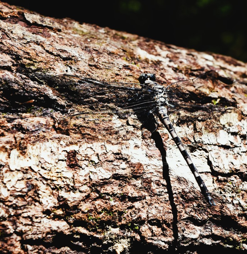
Very pretty. Other people had come in via a much simpler route so we left them to frolic in the cool water with just a mild spat of envy. Checking out some huge dragonflies and weird ‘ufo looking’ spiders….!!!

Time to trudge on back……

The return journey was made harder by the fact that we were now on tired legs (and on our first real hike of the season)…….

…the path always seems a little steeper…..the stairs more numerous….

..the coolness of the rock overhangs and falling water was most welcome.

But at last we returned to that long flight of stairs we recognised from MUCH earlier in the day. A couple more turns and at last the Cumberland Falls re-appeared…..

Suffice to say that the trail description lacked accuracy. Five and a half hours later we emerged muddy sweaty and ready to admit that it might take a few days before that seemed like fun.

Back at the visitor centre/parking lot……ice cream and large pops all round to lift us a little before heading home for showers and cold beer.

It was a good hike…but maybe a bit more than planned for a first outing of the season. Steve was a good sport allowing me to take frequent rests and slow the pace on the way back.

Thanks for joining us Steve…..I thoroughly enjoyed the company on the hike. (Does it seem like more fun now ?….or still too soon…!!! 😆)

Extra pix

Muir Woods. Another Planet (No Apes..!!)

As I have said before, the list of things to see/places to go from this very central point of California….is long.

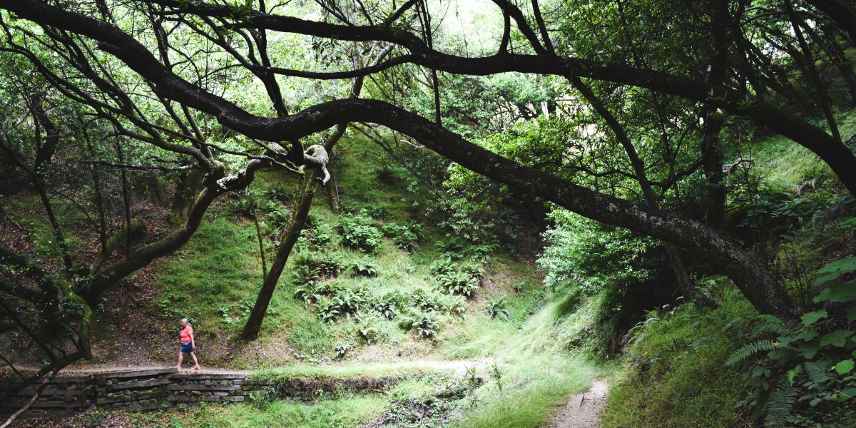
On this day the pick was the Muir Woods National Monument. ,one of the last remaining Pacific Coast ancient redwood forests sitting just across the bay from the big city of San Francisco….and a step across the threshold into wilderness. Named for John Muir, an interesting Scottish fellow who along with Roosevelt was instrumental in the creation of the National Park Service in 1916.

Muir Woods is the setting for the new habitat for the Apes in the Planet of the Apes reboot……but the movies were actually filmed in the Redwoods outside Vancouver …and not here.

The proximity to the city makes it a popular spot…so the mechanism used to control the flow of people….is that you have to book your parking spot in the park online in advance, not many spots hence not many people. Pretty clever really.

We had picked a very early slot to try and beat the commuter traffic headed to the city. This tactic scored us a plum parking spot mere yards from the visitor centre.

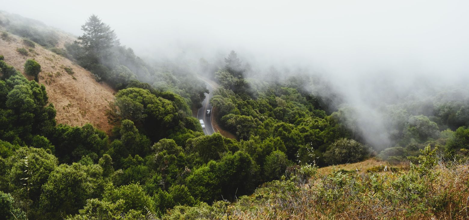
The road up to the park gate is not for the feint of heart…..certainly not with any kind of trailer…..the truck barely made it round some of those corners. It’s a residential zone with driveways I can only describe as terrifying. (Steep and barely off the very narrow twisty road)

From the access road back down into the valley where the parking area and visitor centre is located….is just as terrifying. Sharp switchbacks down a sheer drop. Once you reach the gate multiple cars were being turned around as they had not secured their advance parking pass. Strict enforcement protects the forest from overuse.

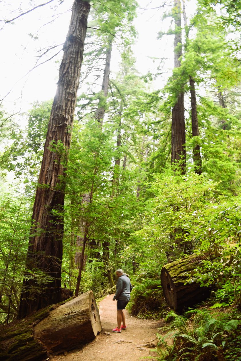
As you step out of the vehicle the size of the trees and the height of the canopy makes you feel like you have been miniaturised somewhere along the road.

…and that wonderful slightly dampish, cedar-y forest floor aroma belies how close you are to vast residential developments.

As always…I have to hit the visitor centre to add another National Park/monument/forest pin to my ever growing collection.

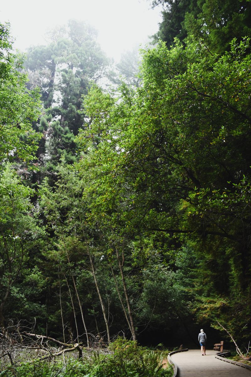
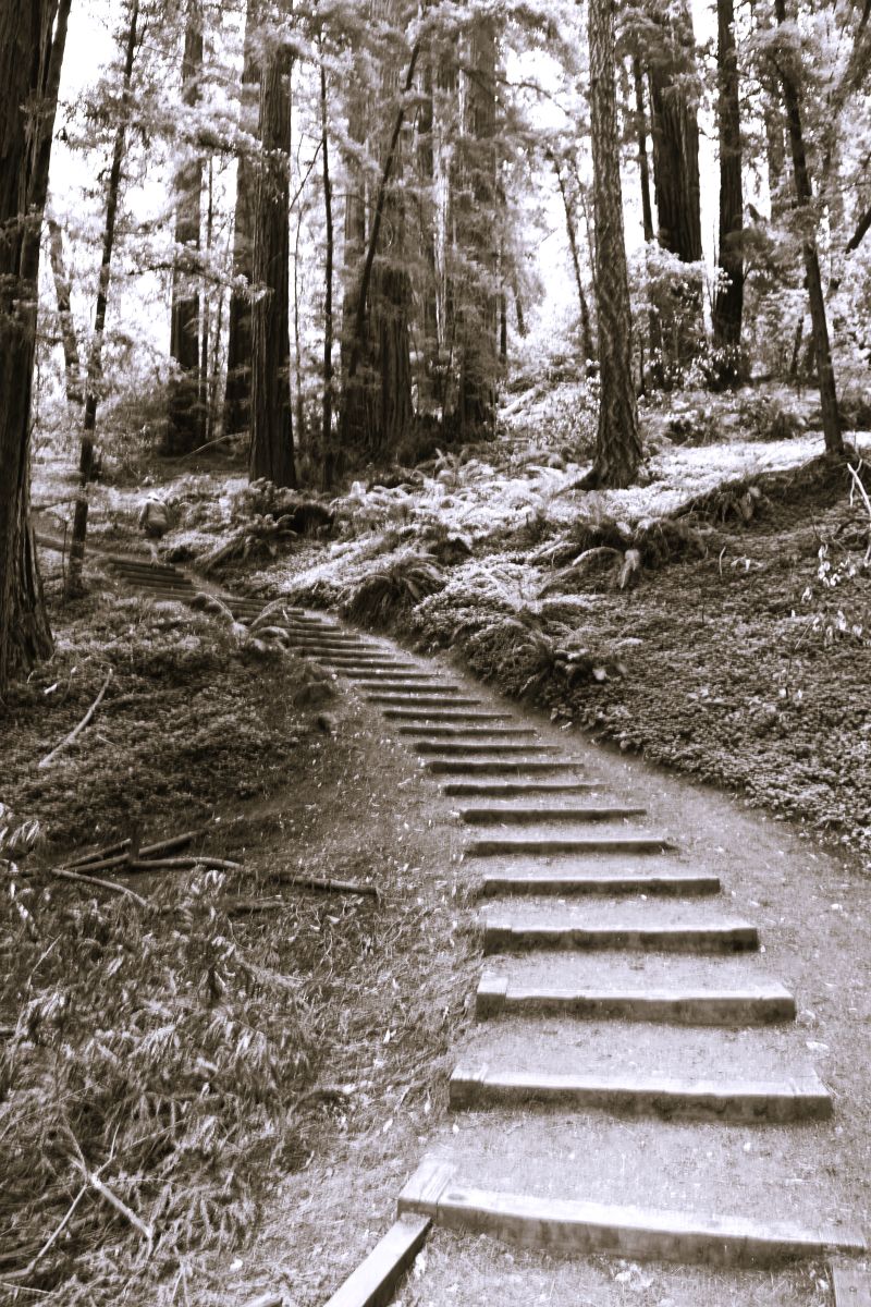
At the beginning of the trail there is a network of boardwalks making this immediate area very accessible.

The scale of these ancient trees is beyond my ability for meaningful description. It would not be a surprise to here that Jurassic Park thud thud of the brontosaurus strolling by.

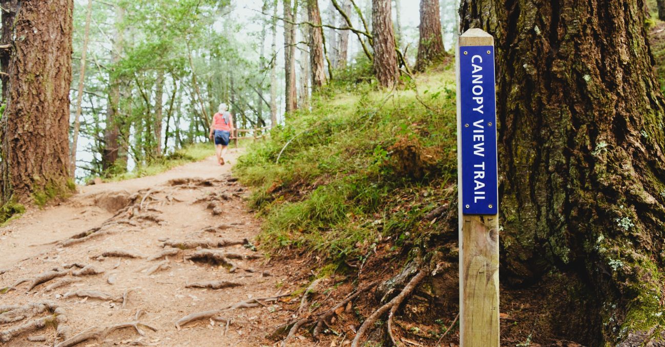
The Canopy trail and up through Tamalpais peak was the trail pick today….

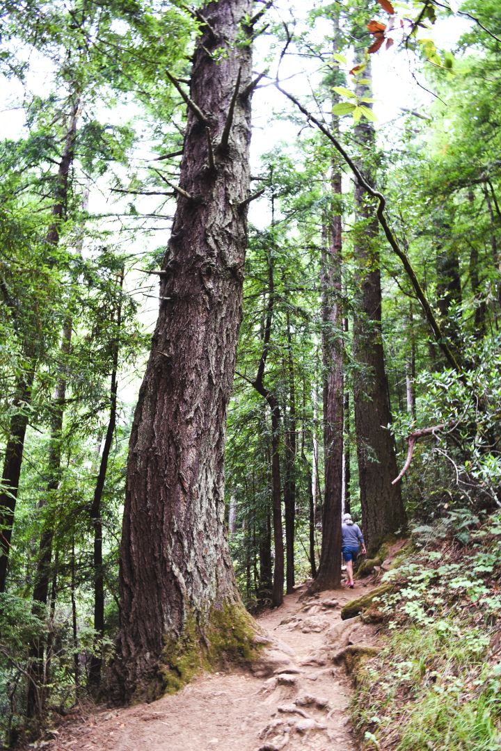
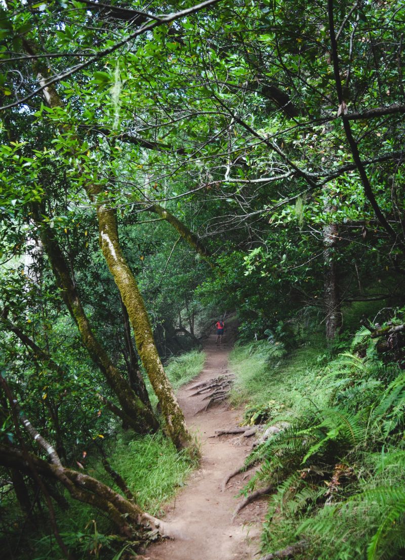
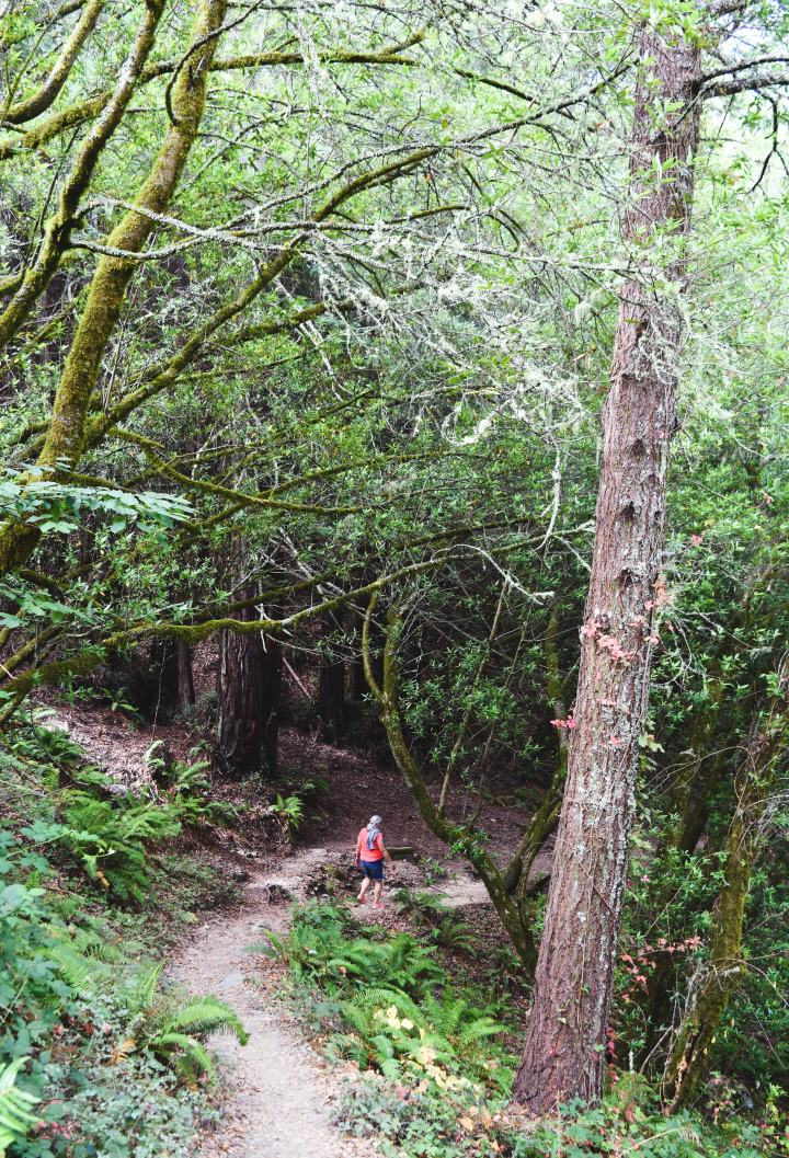
..following switchbacks up to the edge of the park for the canopy view.

My trusty blogtographer never misses an opportunity to catch me falling in water…or mud…..

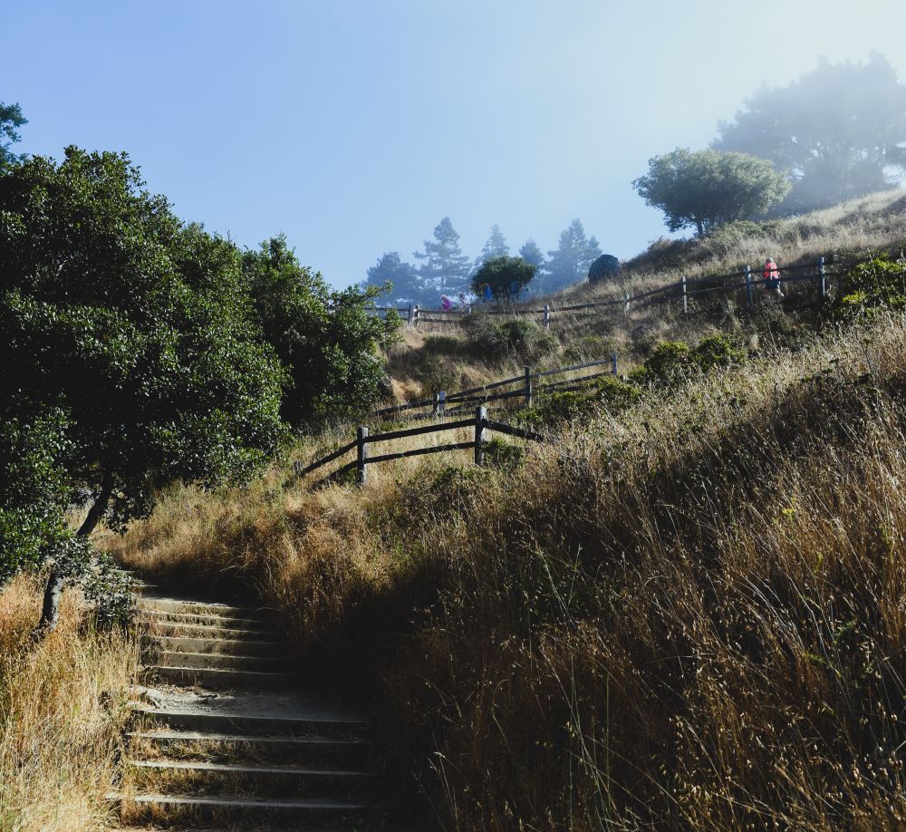
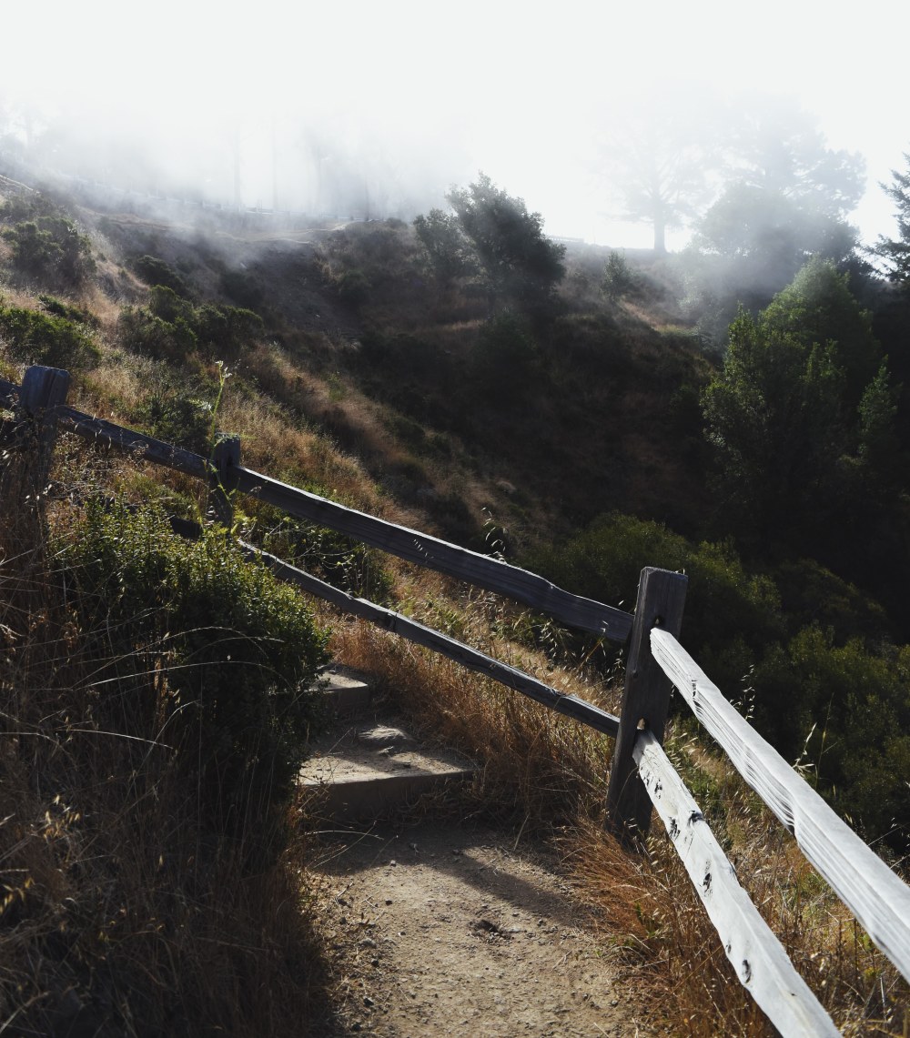
At the top of the trail, the last switchbacks take you right to the edge of the park.

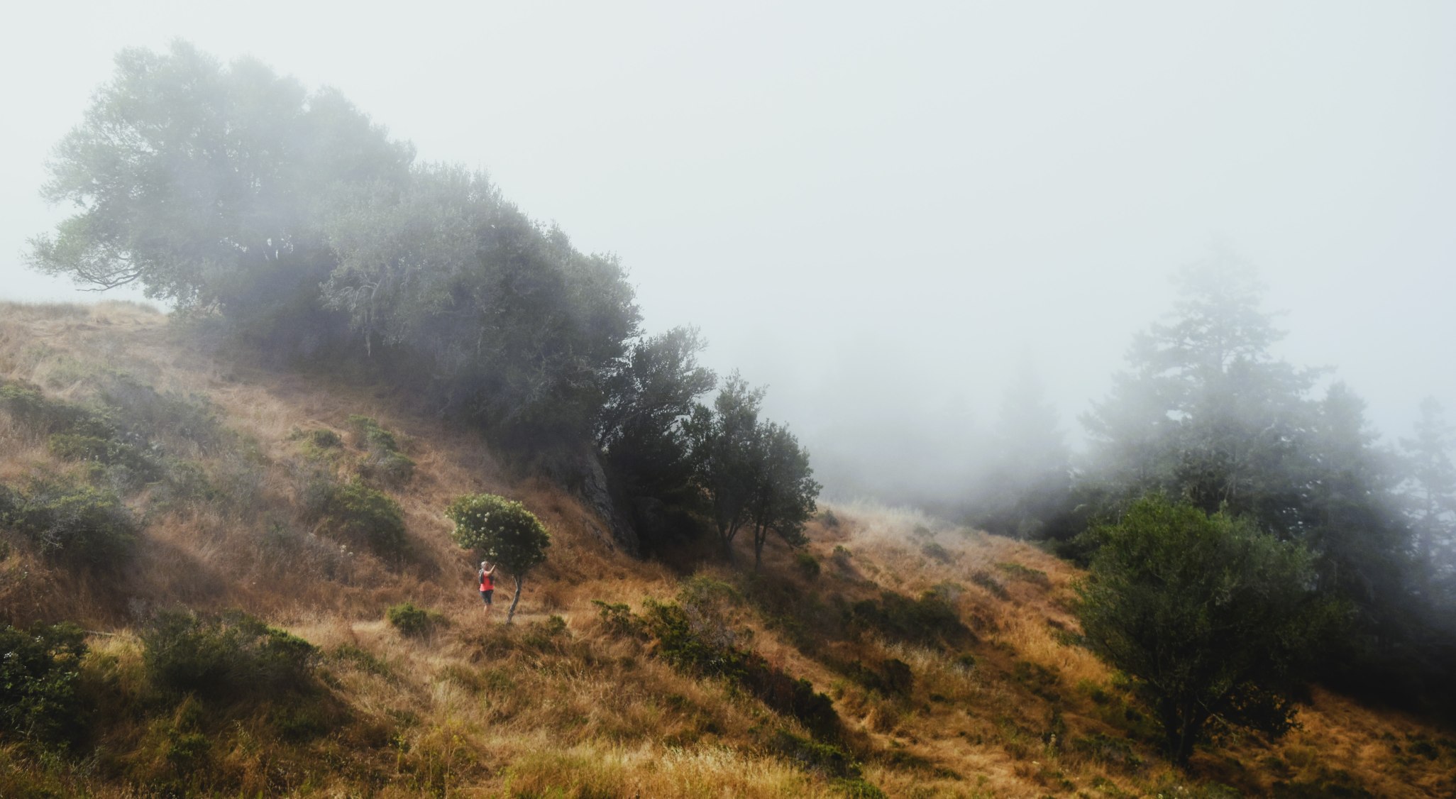
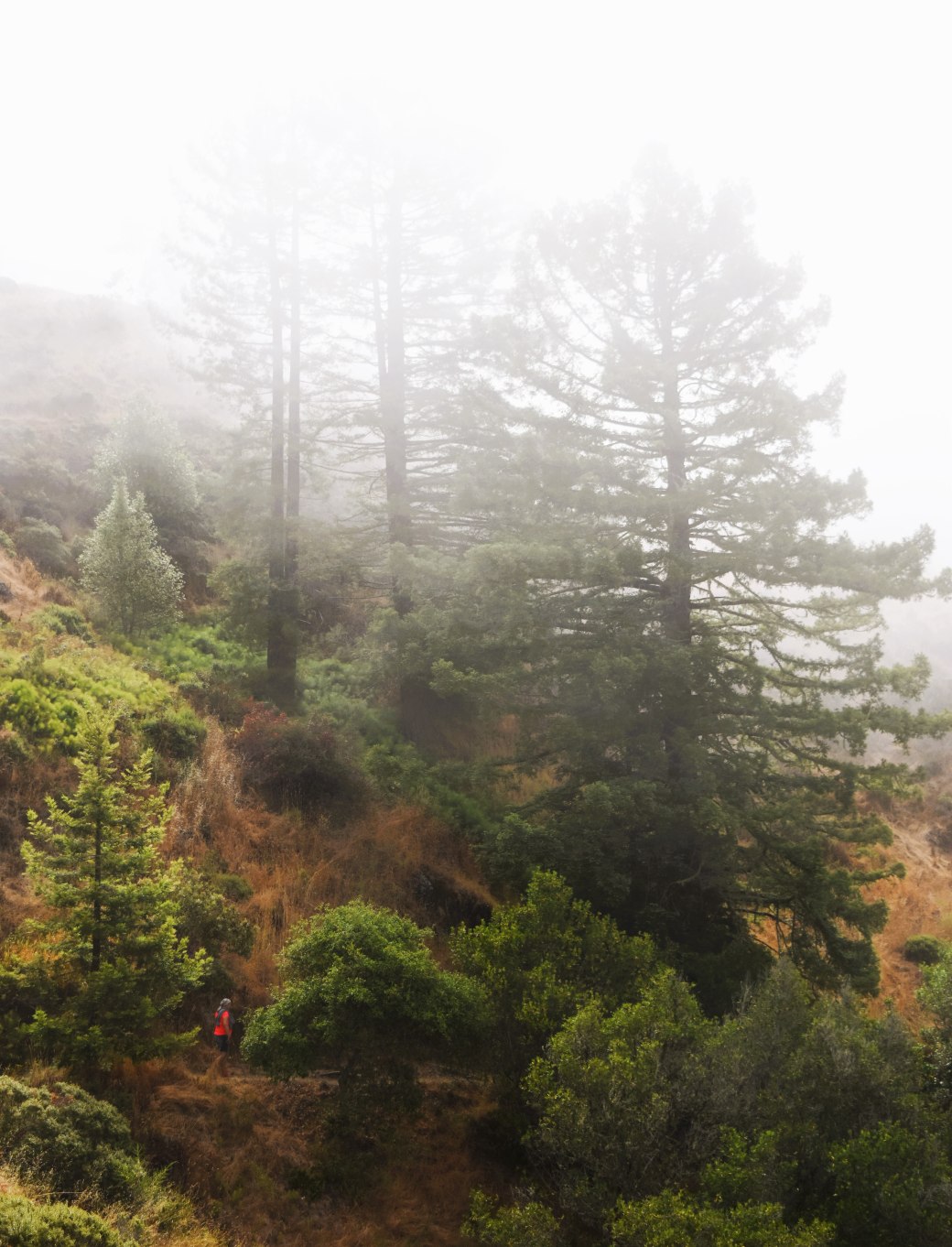
The view is atmospheric rather than spectacular as the sea fog sits on the trees.

We have done forest hikes before….but the Muir Woods have a different feel of ancientness.

There are many moments where you just have to stop …gaze upward at the trees and just breathe.

Its the same kind of feeling as standing by the ocean just breathing the air……

Extra Pix

Walking on the moon. The Mother Road Episode 25.

It’s difficult to comprehend (for me anyway) that Holbrook AZ is at an elevation of 1548m (5079 ft) above sea level, then continuing west on route 66 the road climbs another 558m (1830ft) to Flagstaff at 2106m (6909ft) above sea level.

The upside of this much up is that it also keeps the temps a little more livable which, as we were heading into the July 4th weekend….seemed important. Prepping for July 4th weekend in the US was a bit stressful……anticipating fully booked campgrounds and much Independence Day revelry, I was relieved to score a site at the somewhat dubiously named…Black Barts . There had been a great deal of emailing and phone calling to many campgrounds in the area, so it was a bit of a concern….thankfully it turned out to be just fine….(and they gave me a nice shady spot…..!!)

As we drove into Flagstaff, we passed a sign for Walnut Canyon …..Hmmmm…Interesting…I looked it up as we drove and it turned out to be yet another National Monument.

Walnut Canyon National Monument

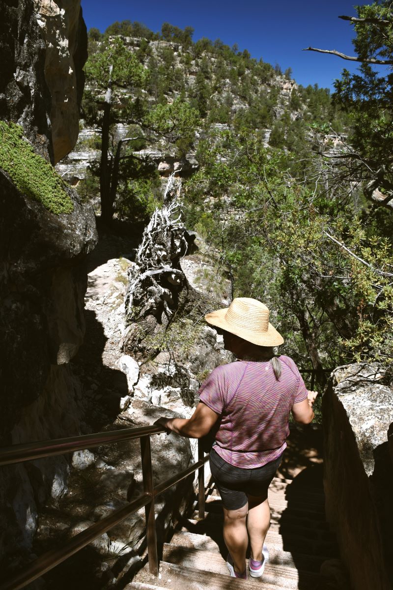
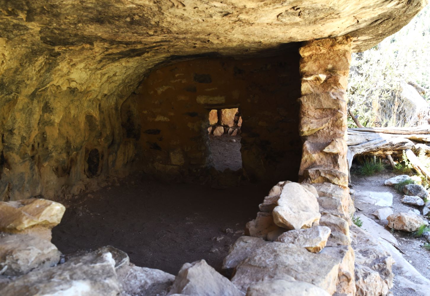
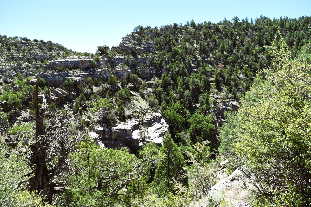
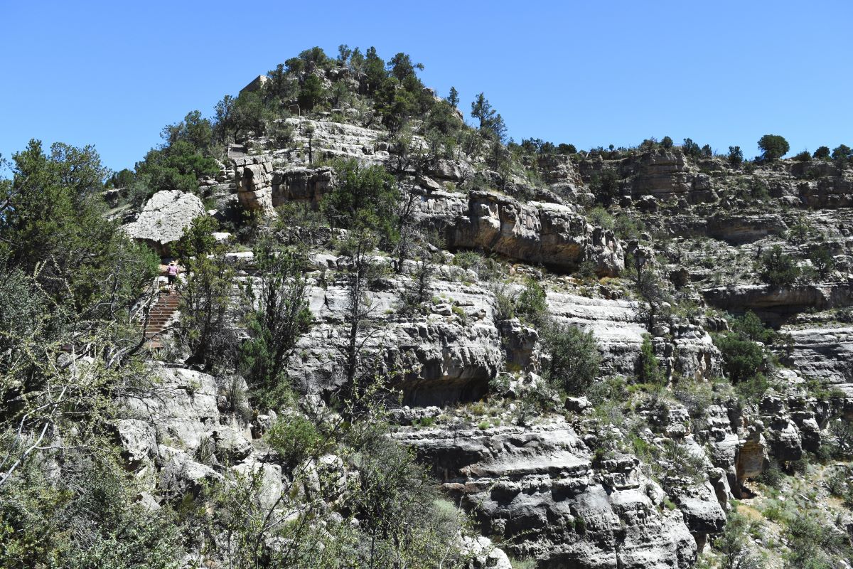
From the visitor center (where they strongly advise everyone to carry water…and to drink said water…!!) there is a staircase down to a loop trail that takes you around the cliff dwellings that are estimated to be around 1200 years old.

It’s a long way down….and all the time you are acutely aware that 1. it’s blistering hot…..and 2. it’s a loooong way back up again…..LOL…

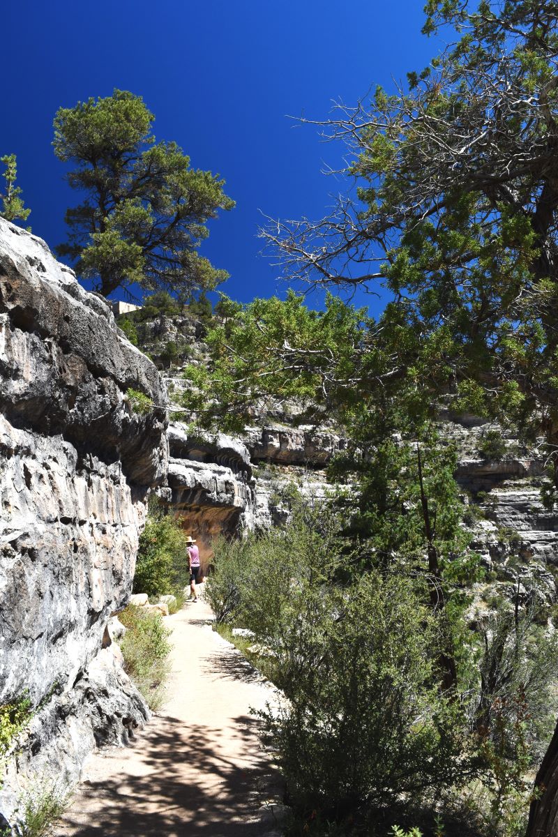
The trail is one way only…..and not very wide, so you really would not want to be passing anyone.

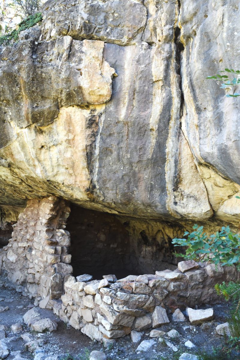
But it is an incredible little window into a time past…..

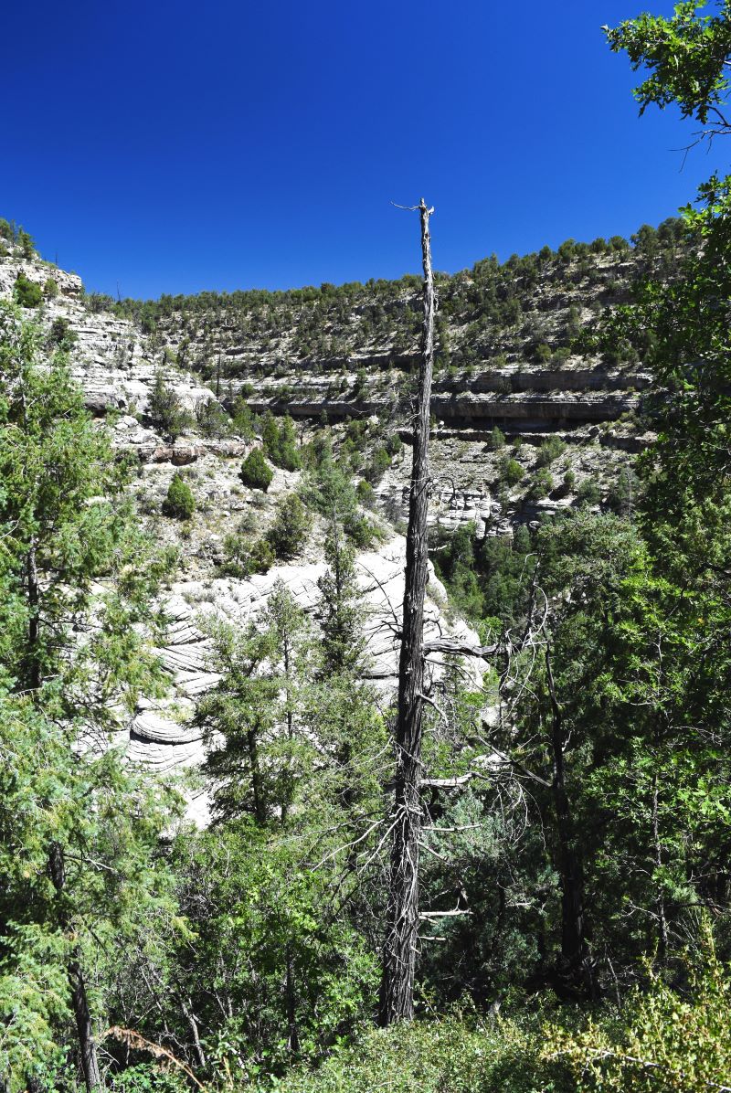
…as well as being a geological marvel…..

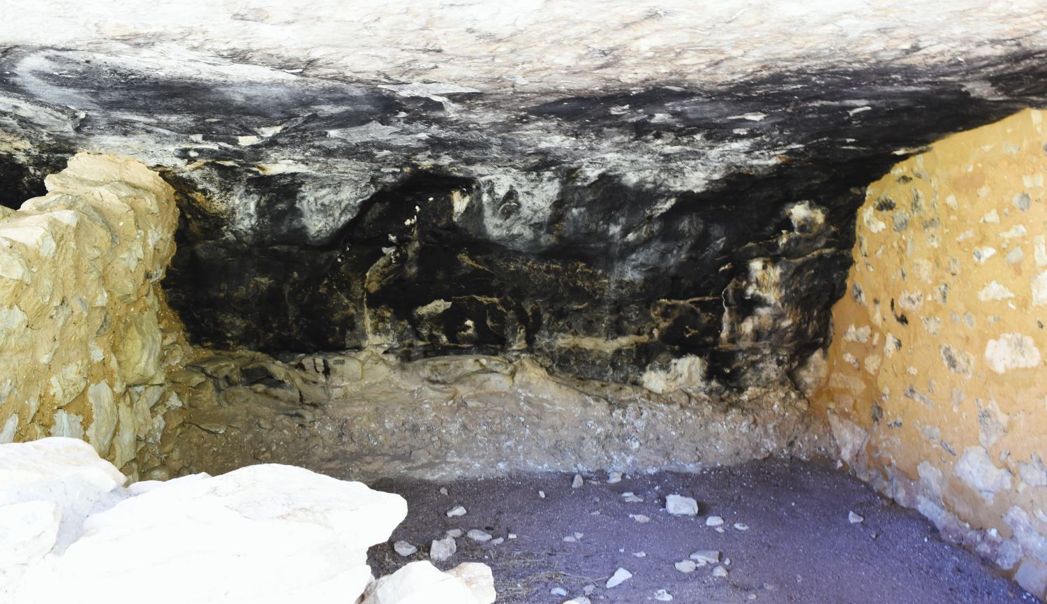
On the walls of the caves you can still see the smoke streaks from the fires used to keep warm in winter.

It was sufficiently fascinating to distract from looking over to the right where the drop off down the canyon was……..daunting…..

The path back up was not as bad as anticipated…..it was pretty brutally hot down there tho…the increase in elevation putting us ever closer to the surface of the sun

Totally worth the visit……those ever so helpful rangers pointed us in the direction of Sunset Crater and the Wupatki Pueblo as well……so…..off we went….

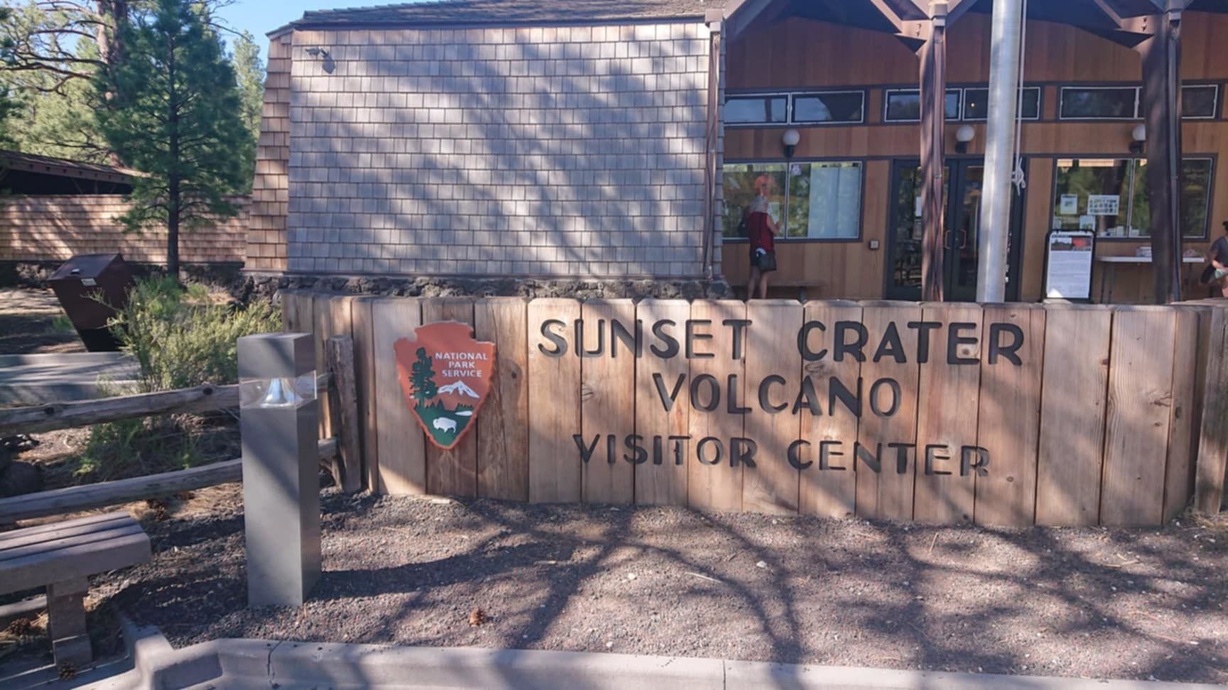
Sunset Crater National Monument

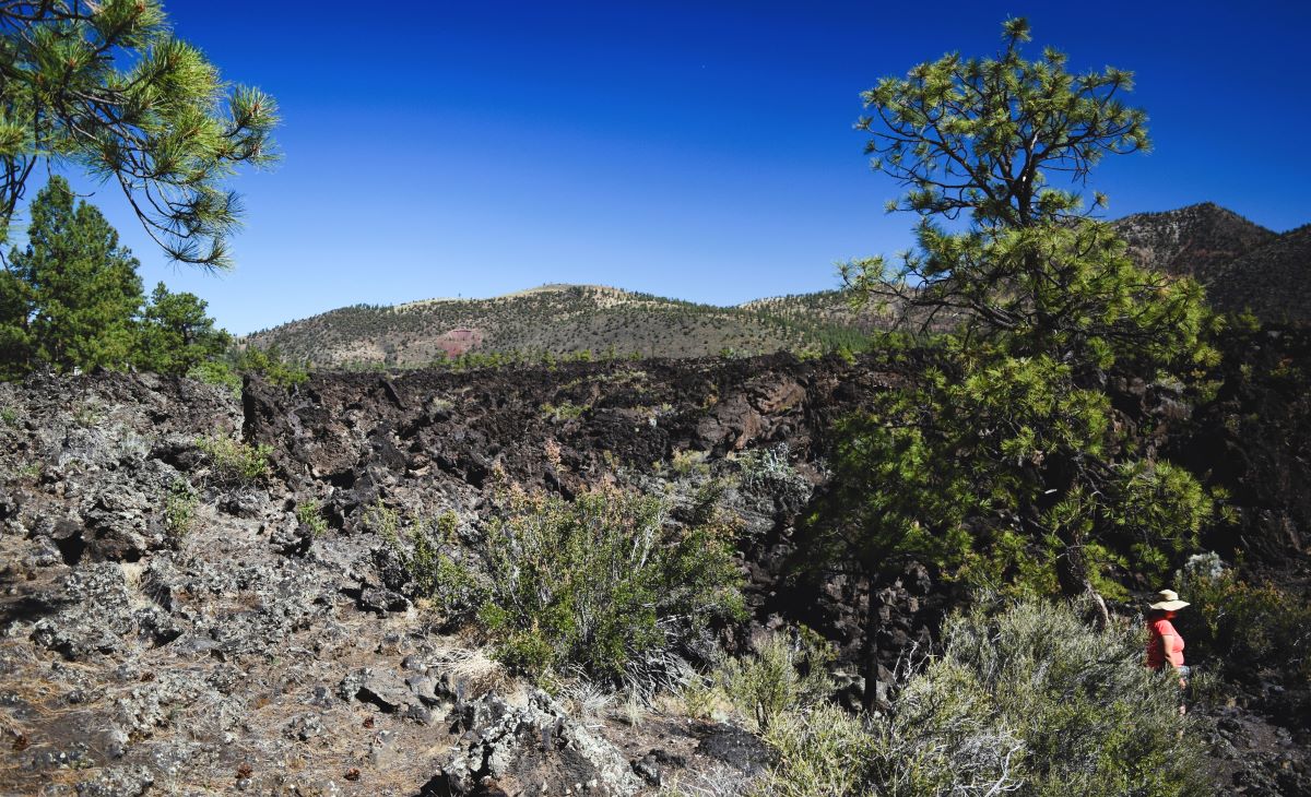
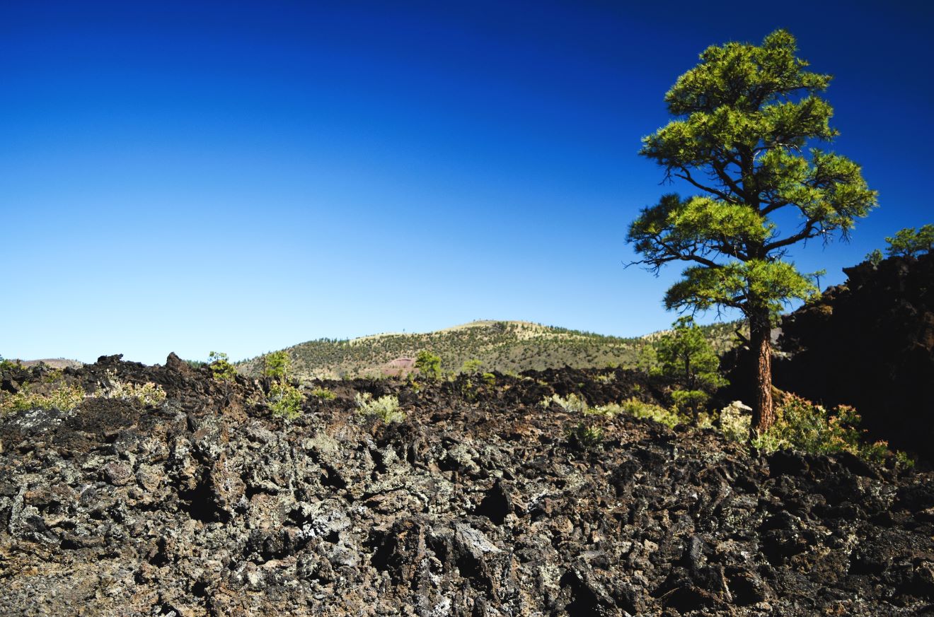
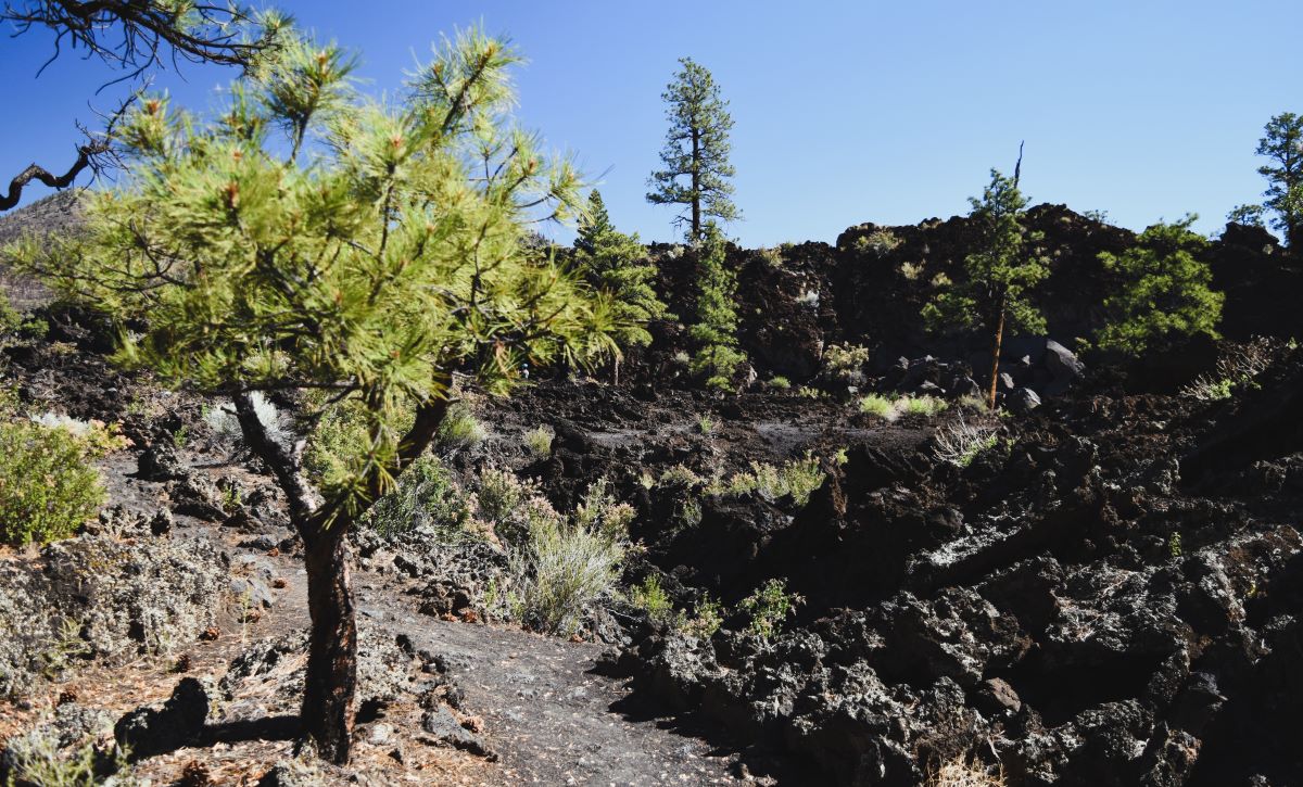
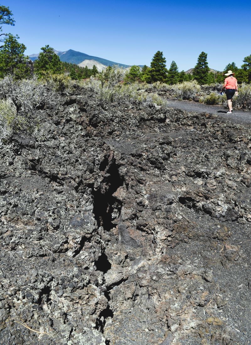
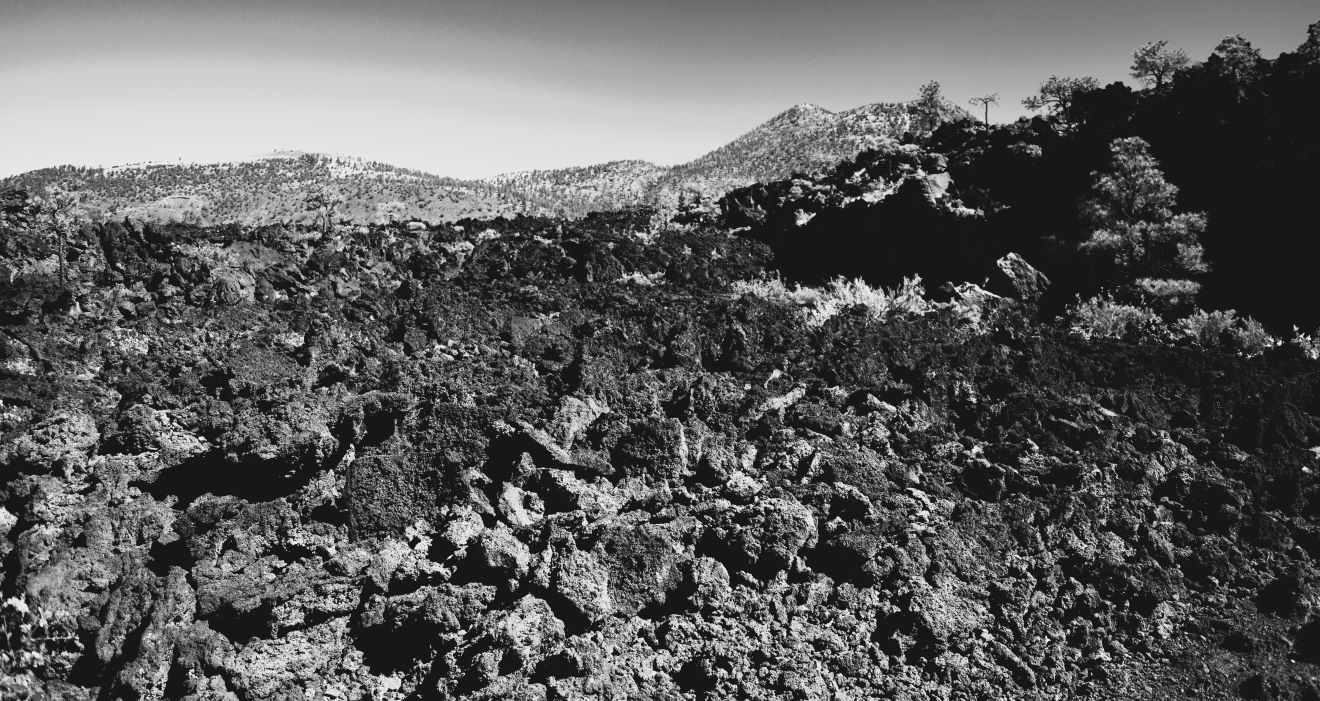
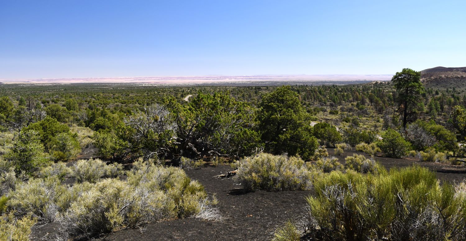
Here we find ourselves in another lava field. Maybe its just me , but I think these places are mesmerizing. 1000 years later the landscape has barely changed.

As the road winds through the park, there are designated parking areas for some short, marked trails. Much of the park is restricted access in an attempt to reduce erosion of the landscape.

Just about the time that it’s occurring to you that this is like a moonscape……the confirmation appears in front of you. Yes !!… this is the area that was used for training astronauts for their first steps on the moon’s surface.

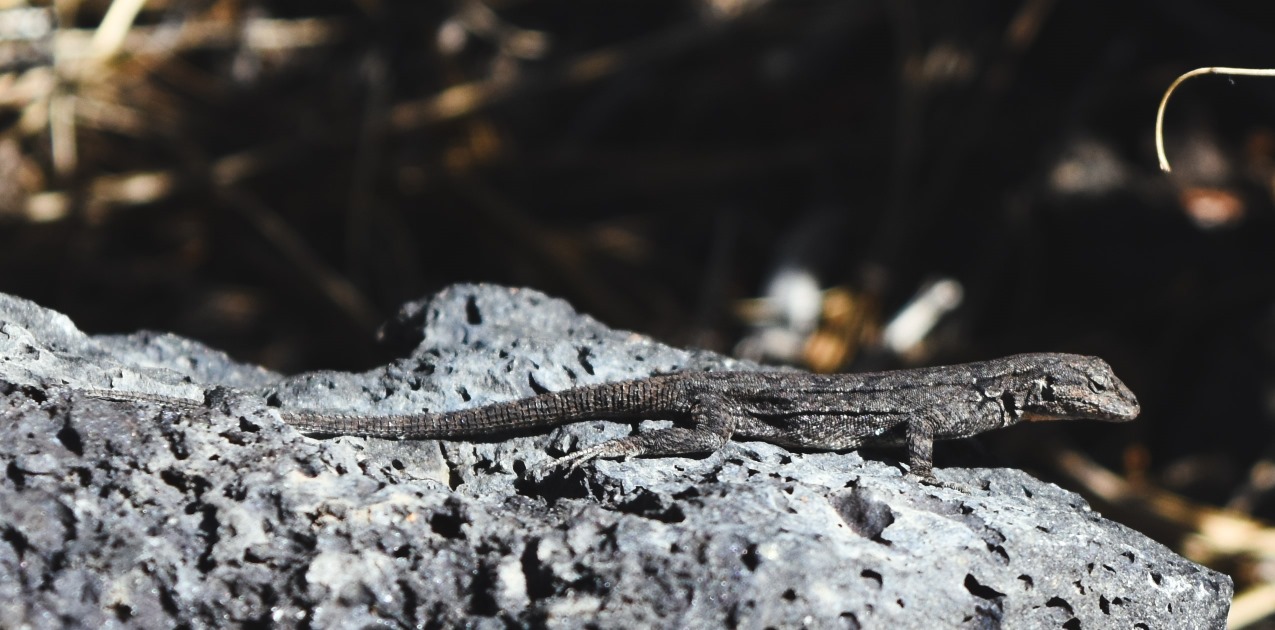
….then we found lots of these little guys running around. You can only spot them when they move….they blend so well with their background.

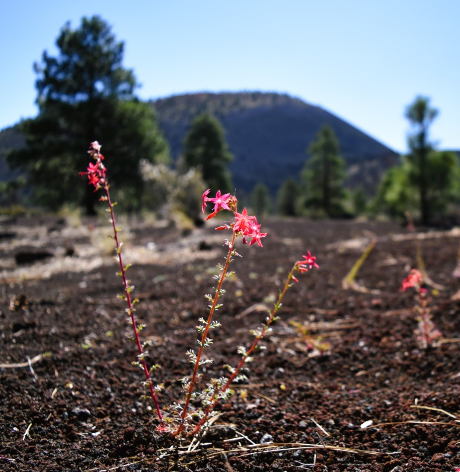
The bigger trail up to the crater was closed following wildfire damage….so the closest we could get was this boardwalk trail. Probably a good thing…it was warm for hiking…!!!

Extra pix