Cathedral Spires, Needles Highway and Sylvan Lake.

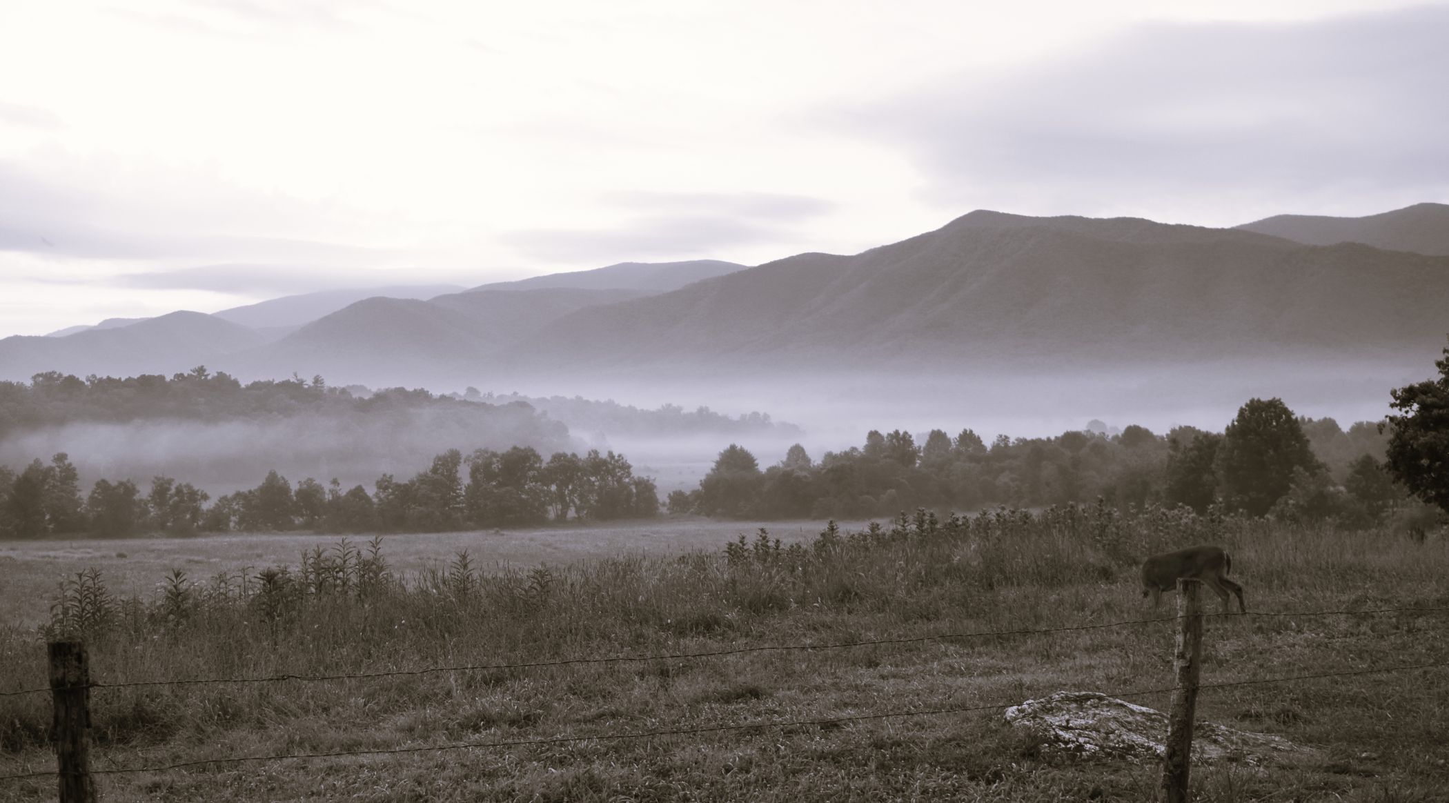
Still happily ensconced at Broken Arrow Horse Camp, we had another day to find some fun and frolics out on the trails. One of the great things about Custer South Dakota is that not only Wind Caves National Park is on the doorstep…but also Custer State Park (another gem)

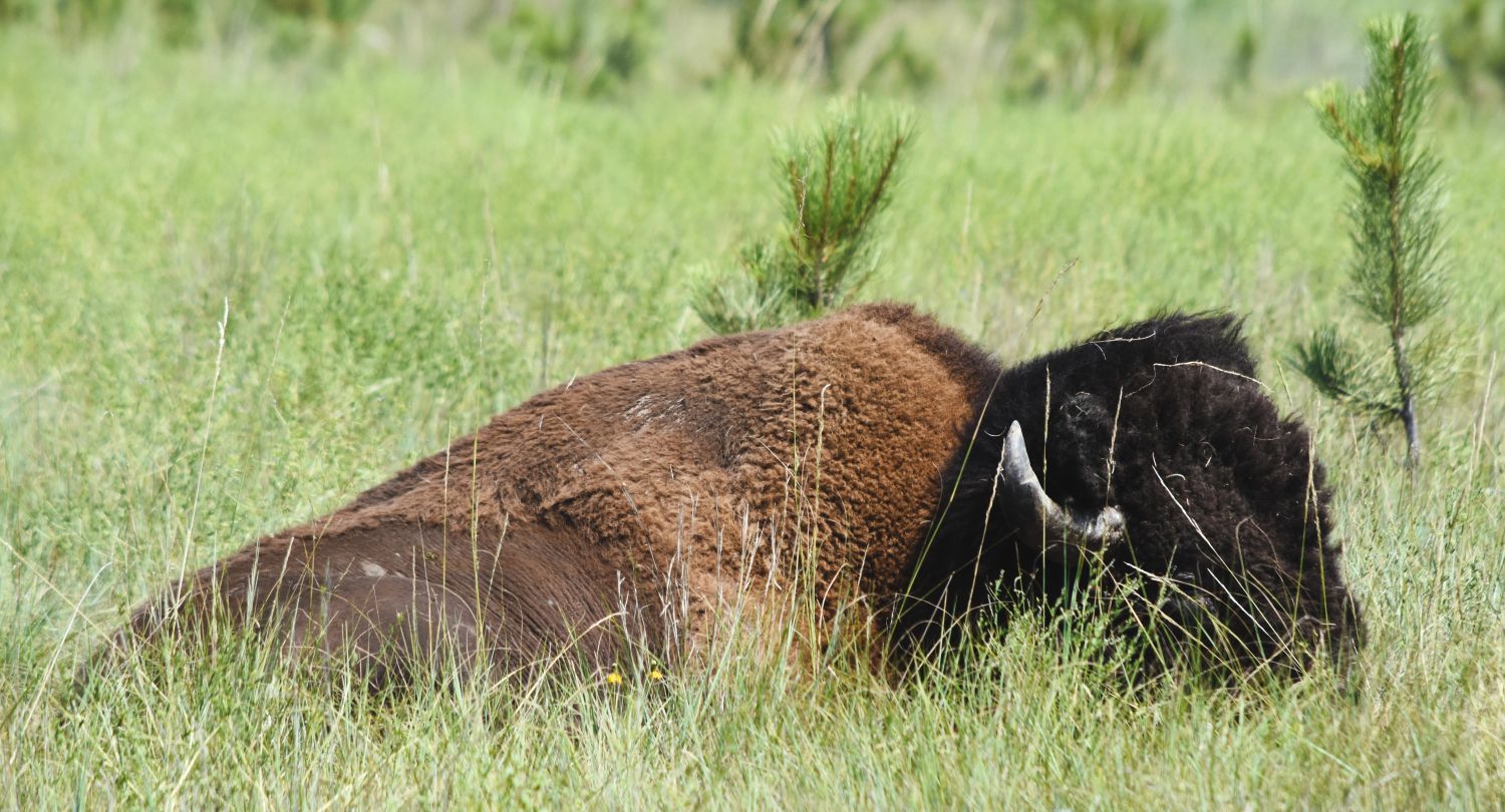
(The two parks share a boundary….but interestingly are fenced to keep the bison herds separate. Wind Caves herd is genetically pure plains bison whereas the Custer State park herd has hybridized cattle DNA…..so the fence is there to try and keep them separate.)

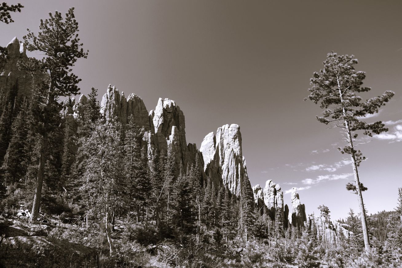
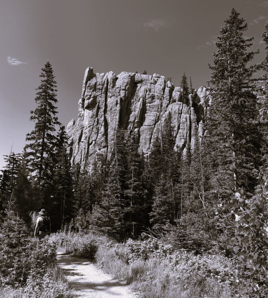
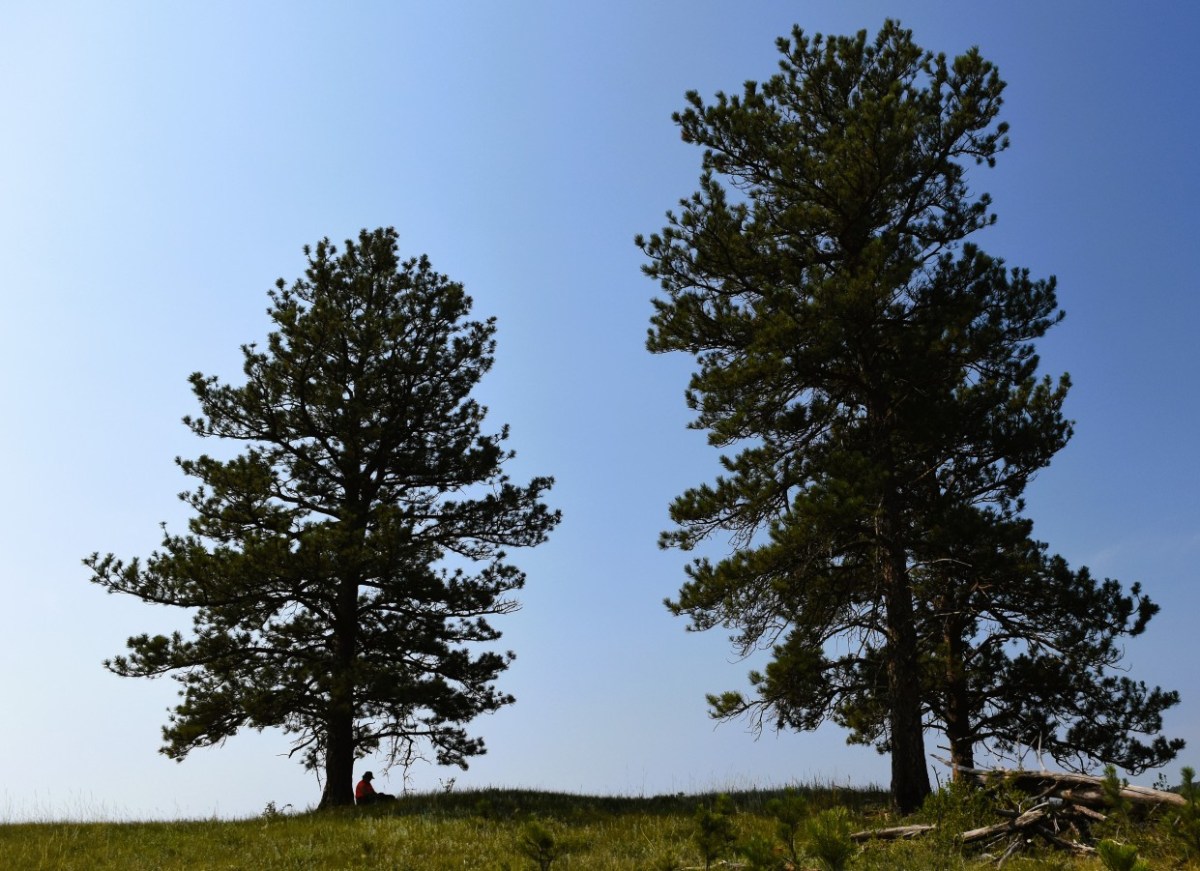
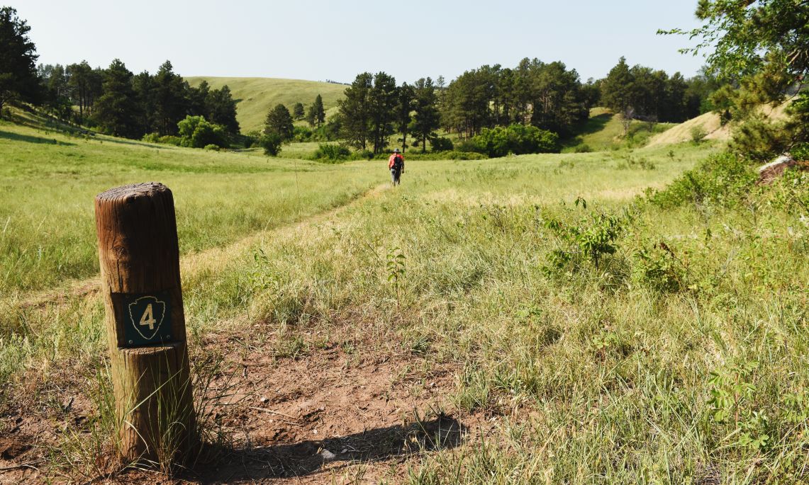
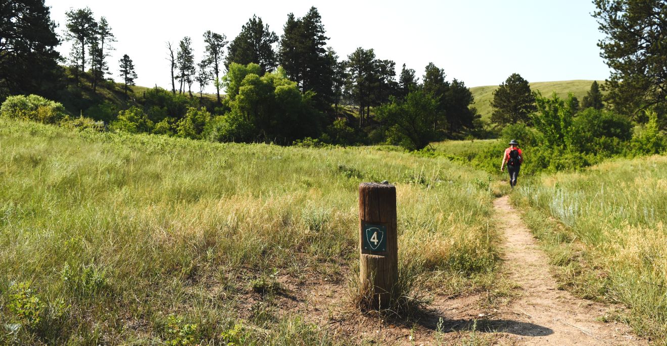
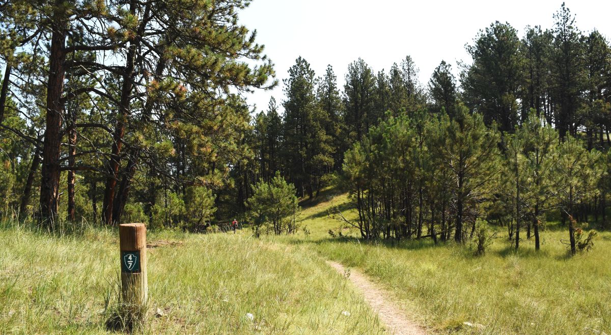
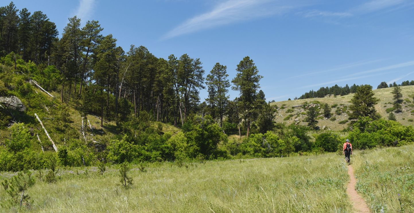
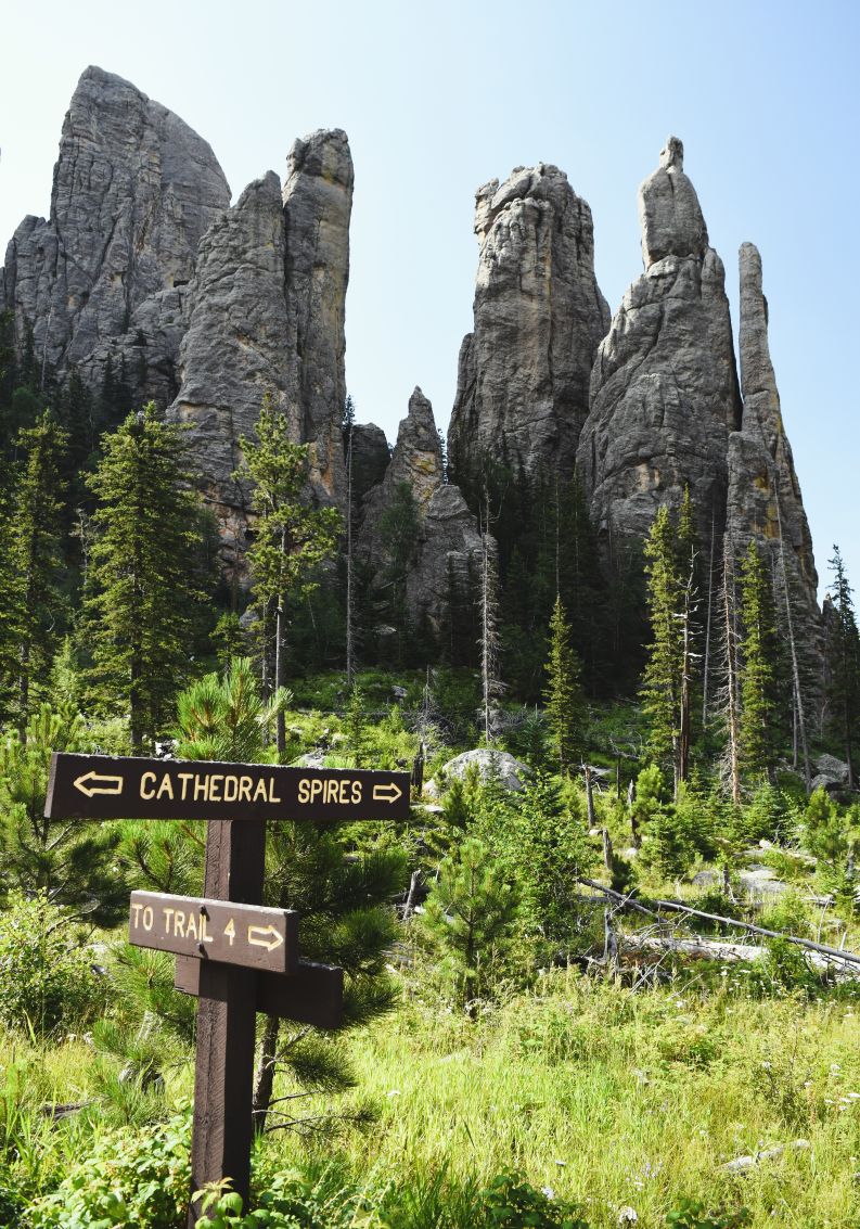
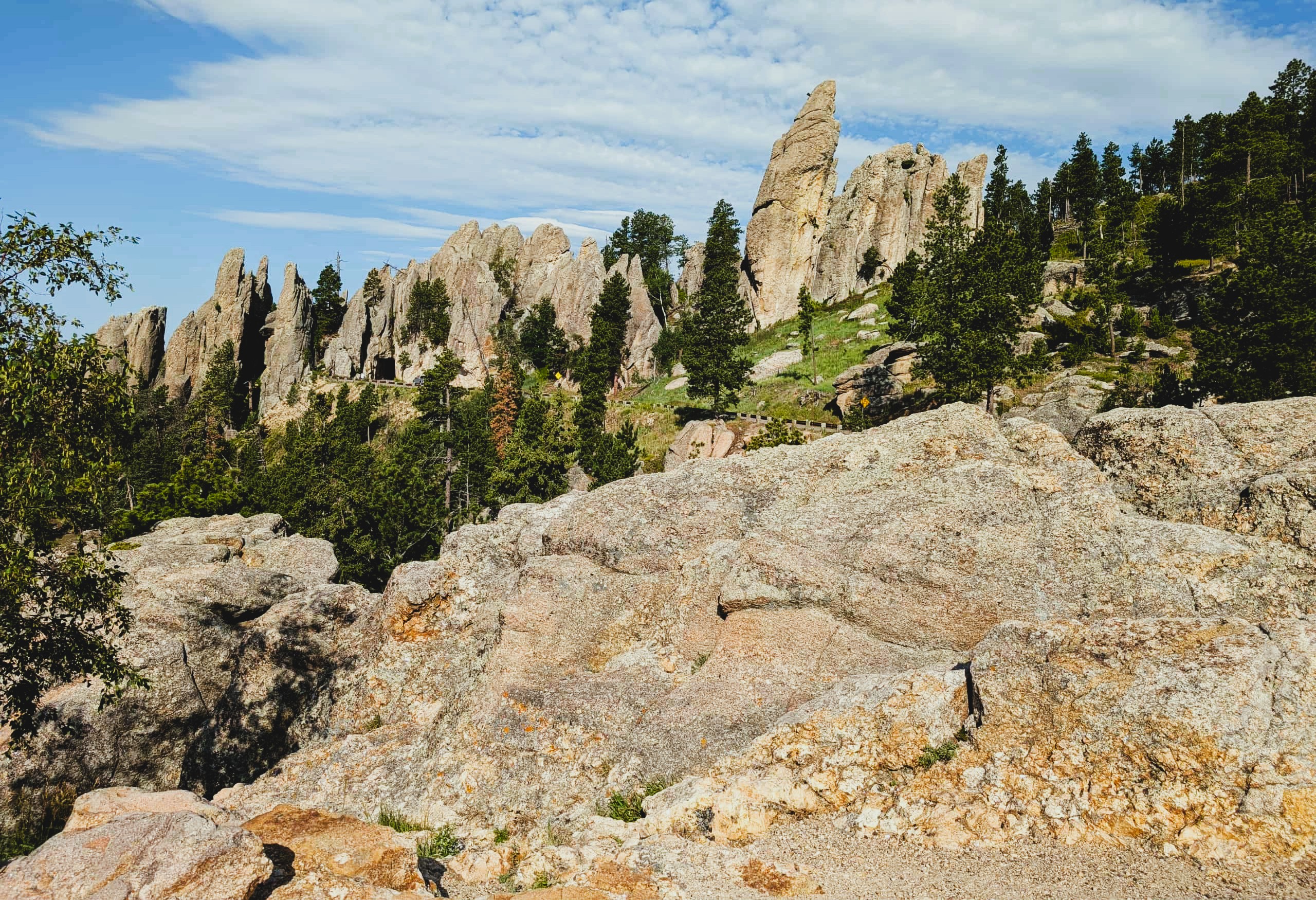
One of our favourite hikes from this campground has been the trail up to Black Elk Peak. Rather than redo that one, I found a trail that ran parallel, but on the south side of Cathedral Spires. Black Elk Peak trail runs to the north of the Spires.

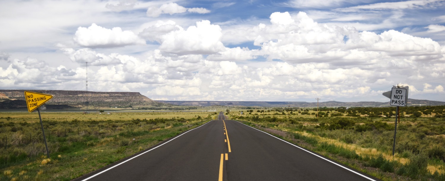
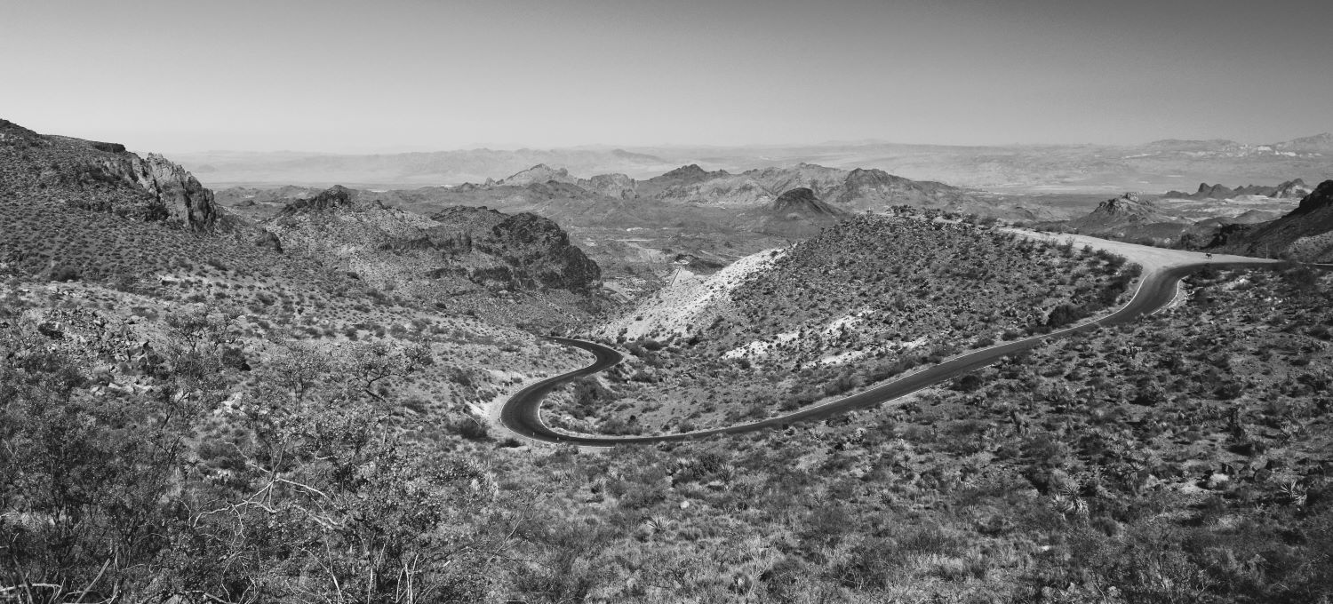
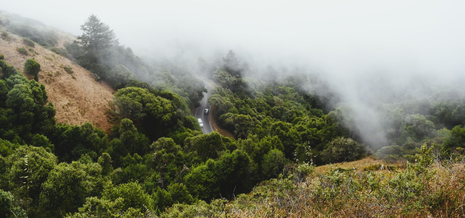
To reach this trailhead in Custer State Park….we travelled up Needles Highway……not like the needles highway from Route 66….this one is literally driving through the eye of the needle…..a tunnel through solid rock after a seriously serpentine narrow road to get there.

The pictures never truly reflect the steepness of the grade, the sharpness of the hairpin bends……or the horror of the sheer drop on the passenger side of the vehicle….!!!

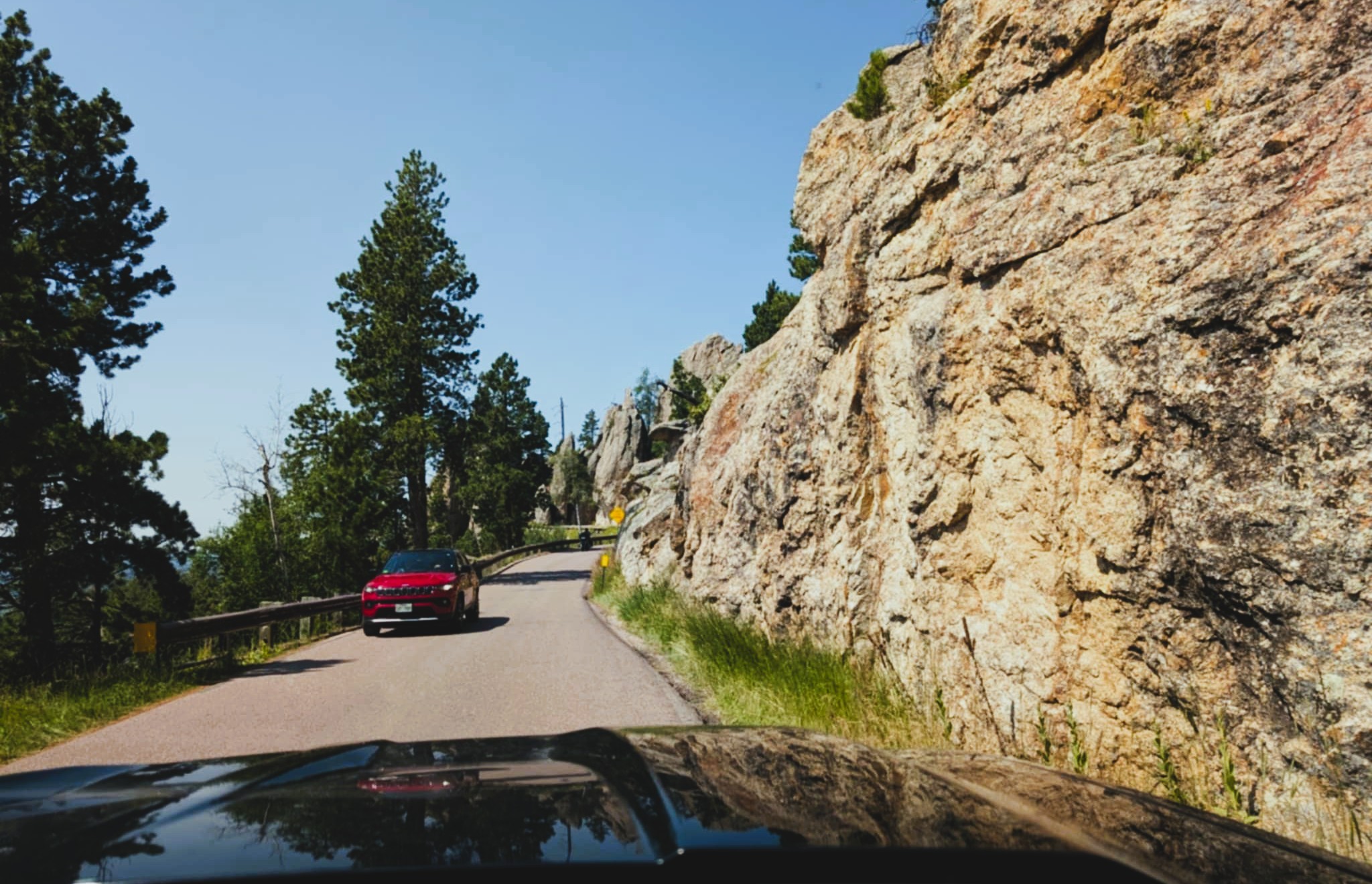
The approach to the tunnel is impressive to say the least….

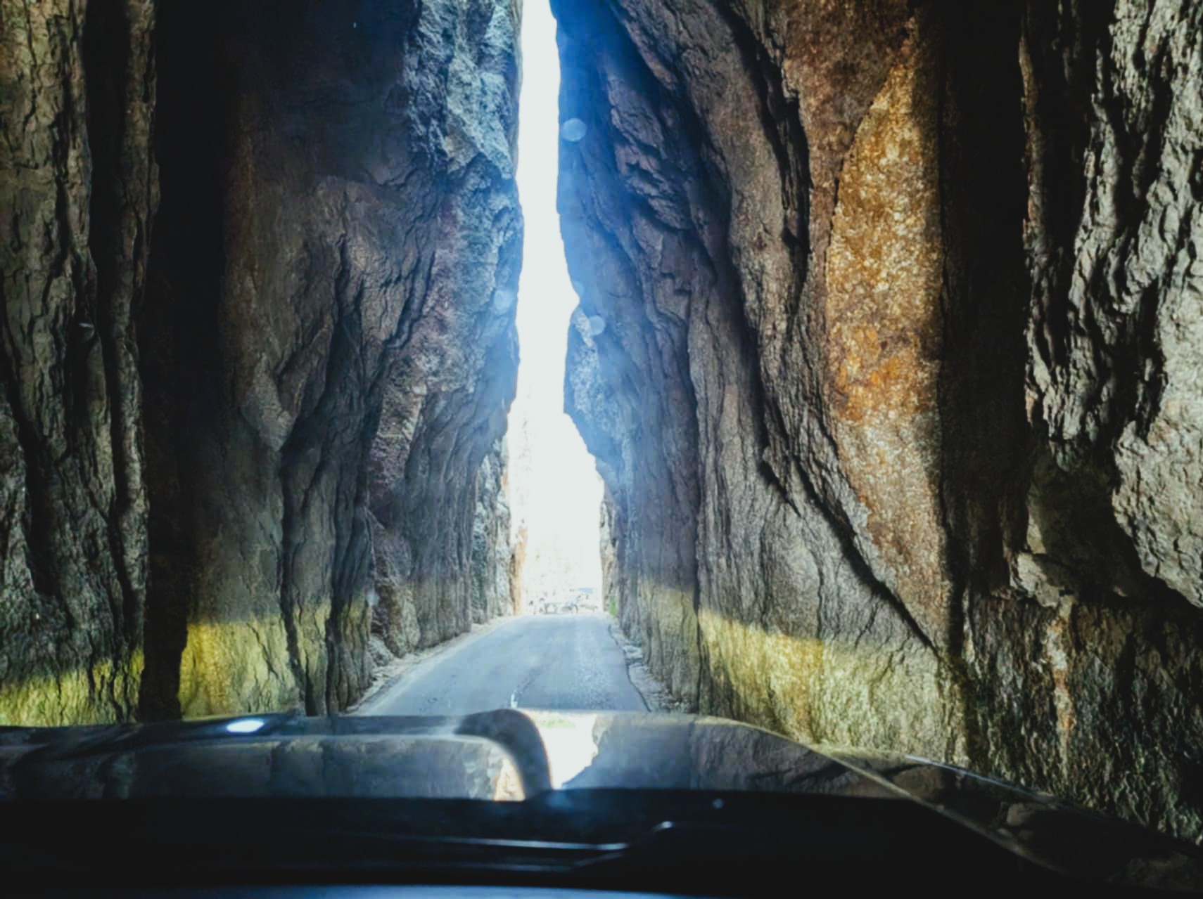
The tunnel is 8 feet wide and.9 feet and 9 inches tall……only wide enough for one vehicle at a time…and you had better turn off the proximity sensors as you pass through it.

I took video on our first pass through …. these pictures are on the return journey….

The road, after you pass through…does not improve any. The hard switchbacks and invisible corners on this perilous path carved out of the side of the cliffs is a whole experience unto itself.

On one of the switchbacks they have built a wall that shields parking spaces on either side…..a bit like the ones in Great Smoky Mountain National park…if you are lucky there will be a spot….if not…there is absolutely nowhere to stop.

We were lucky….and there was a parking spot.

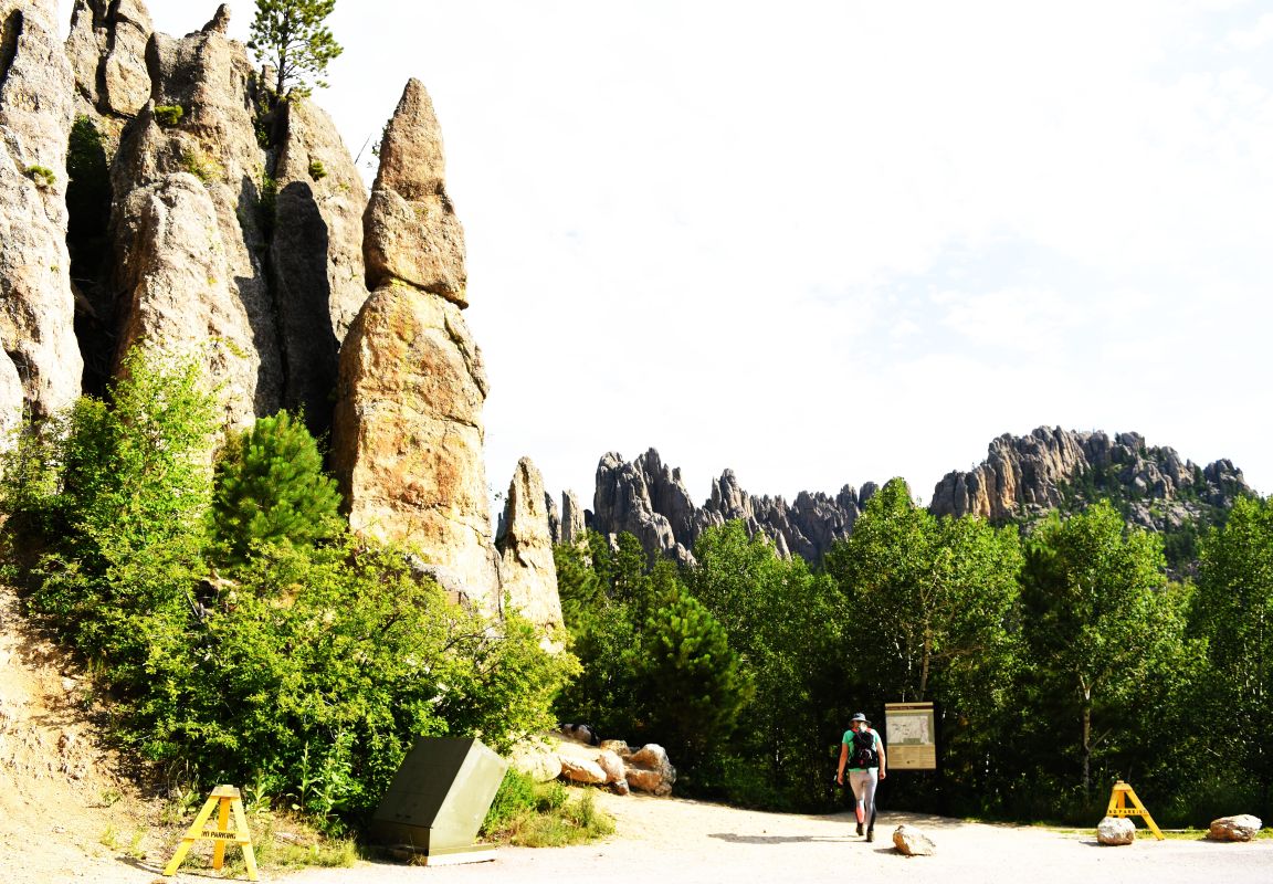
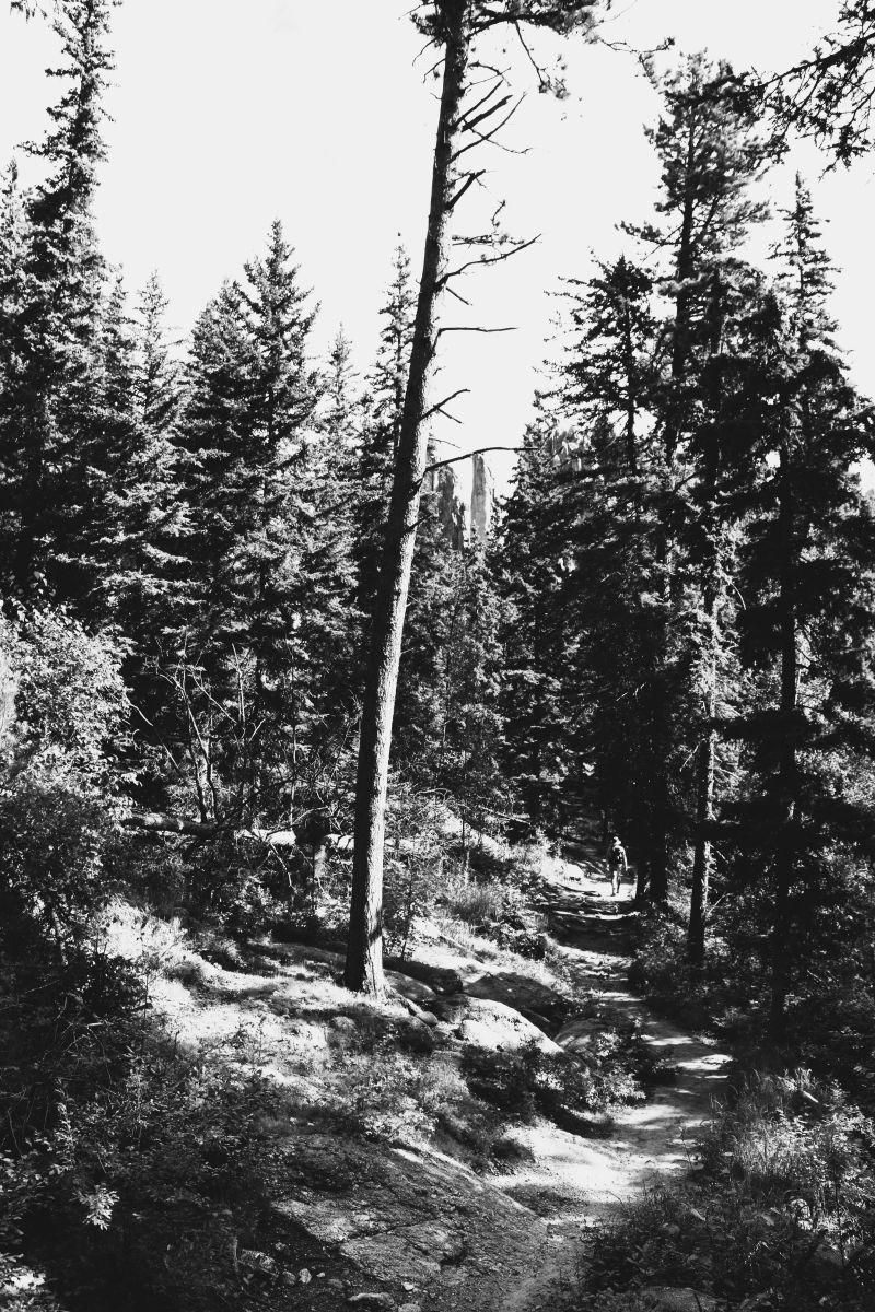
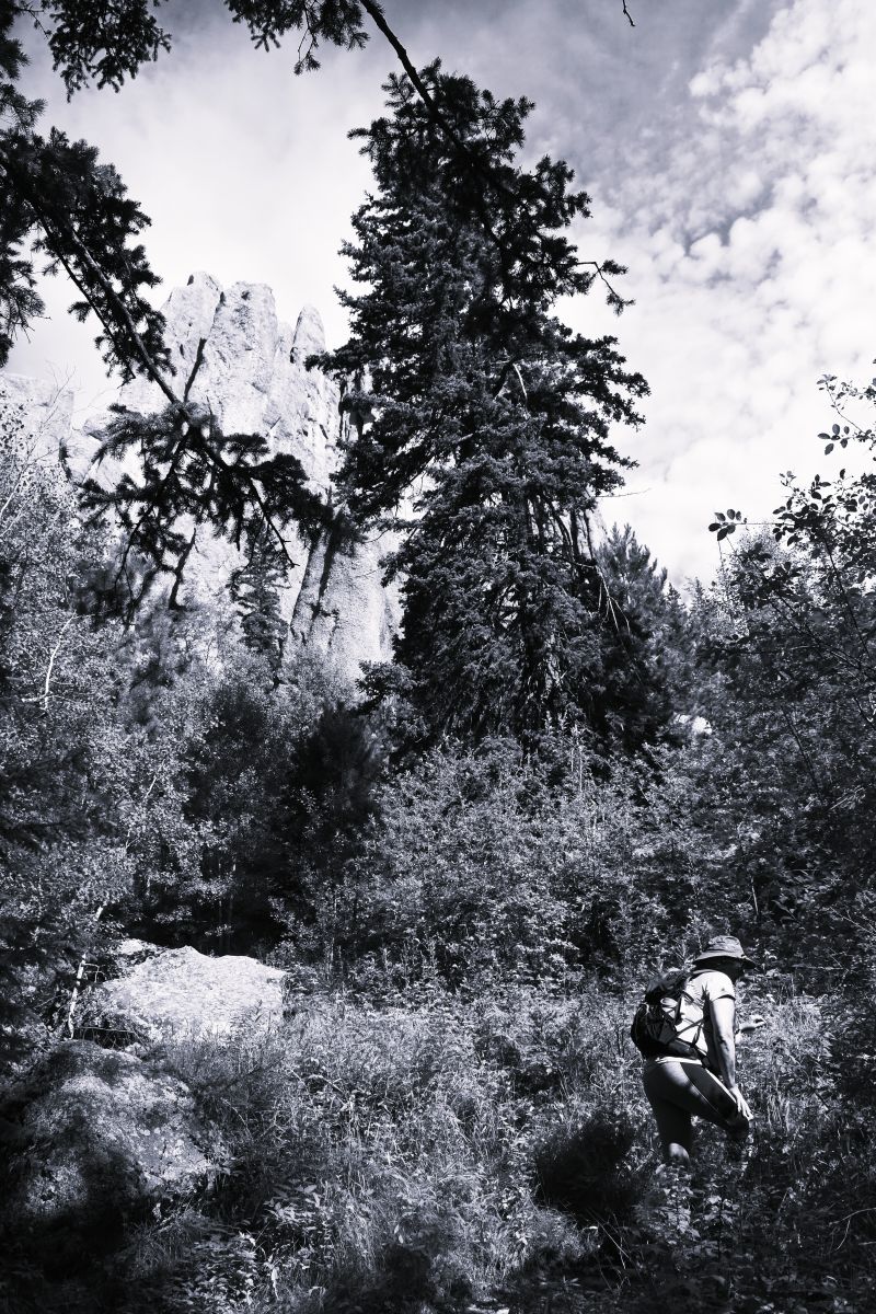
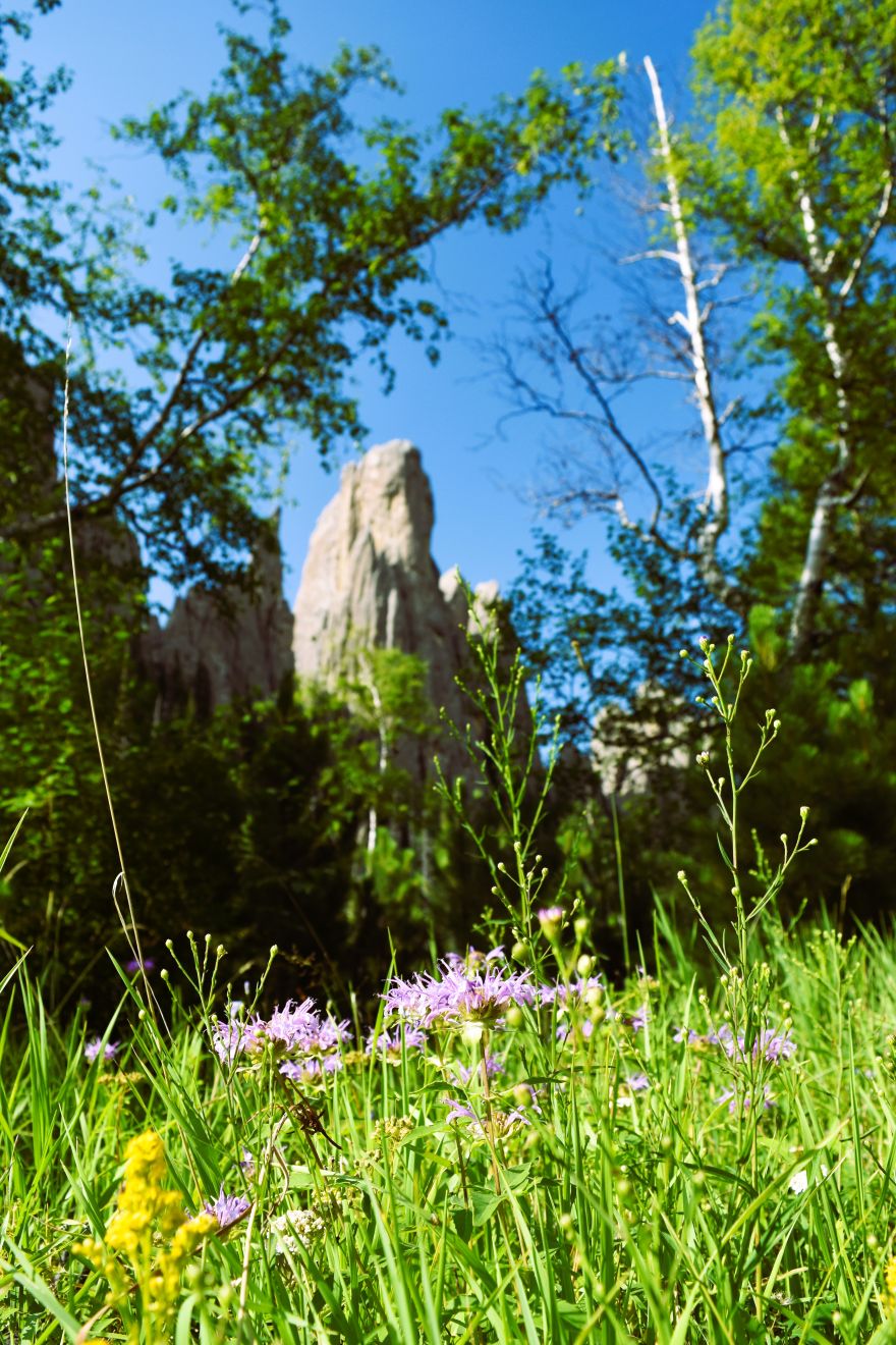
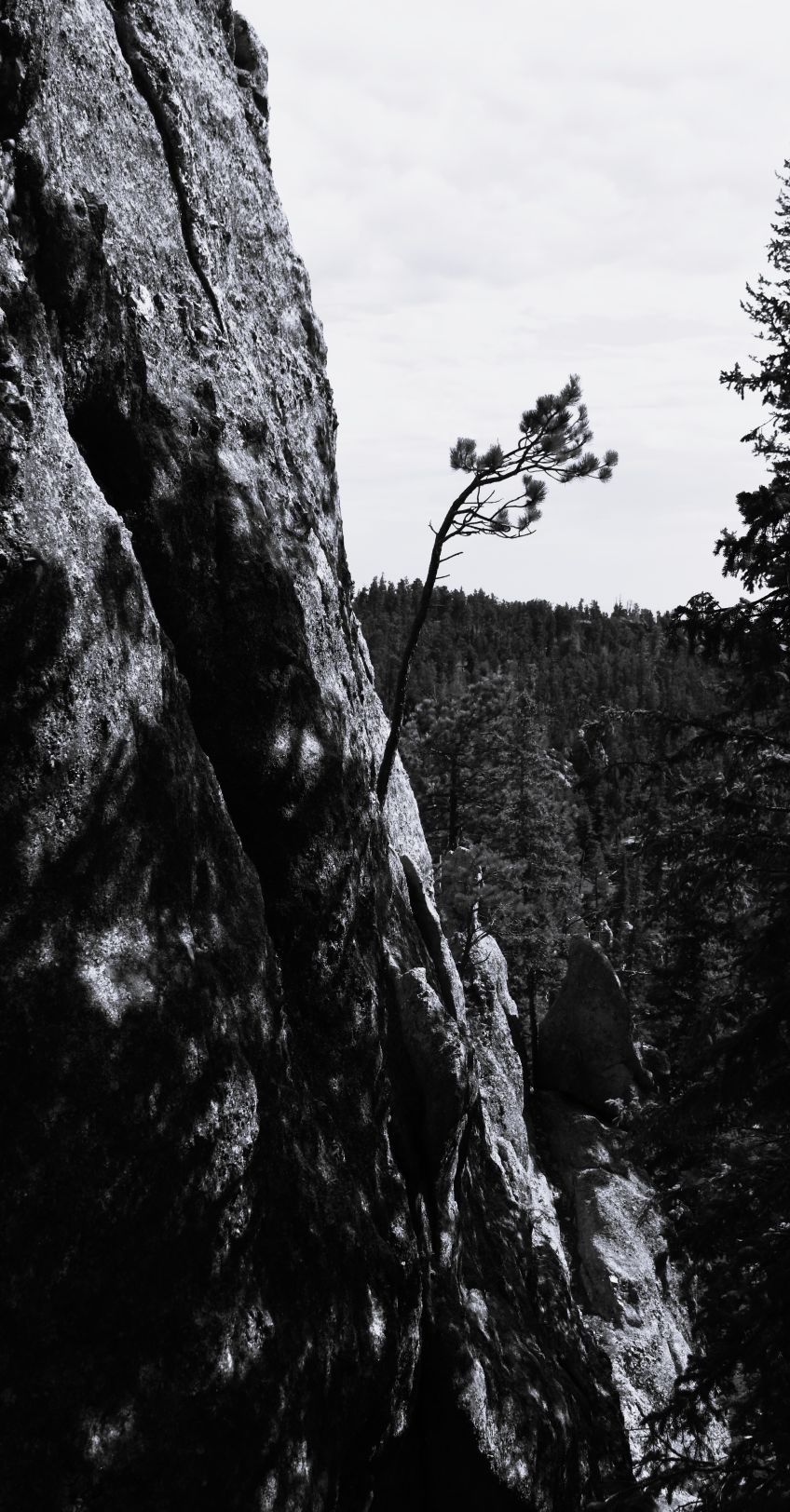
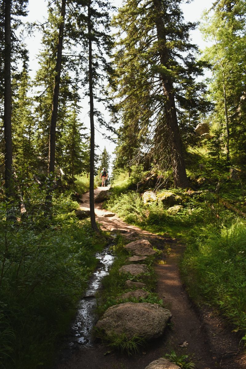
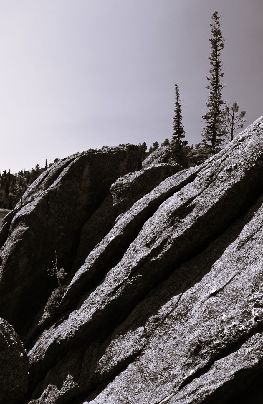
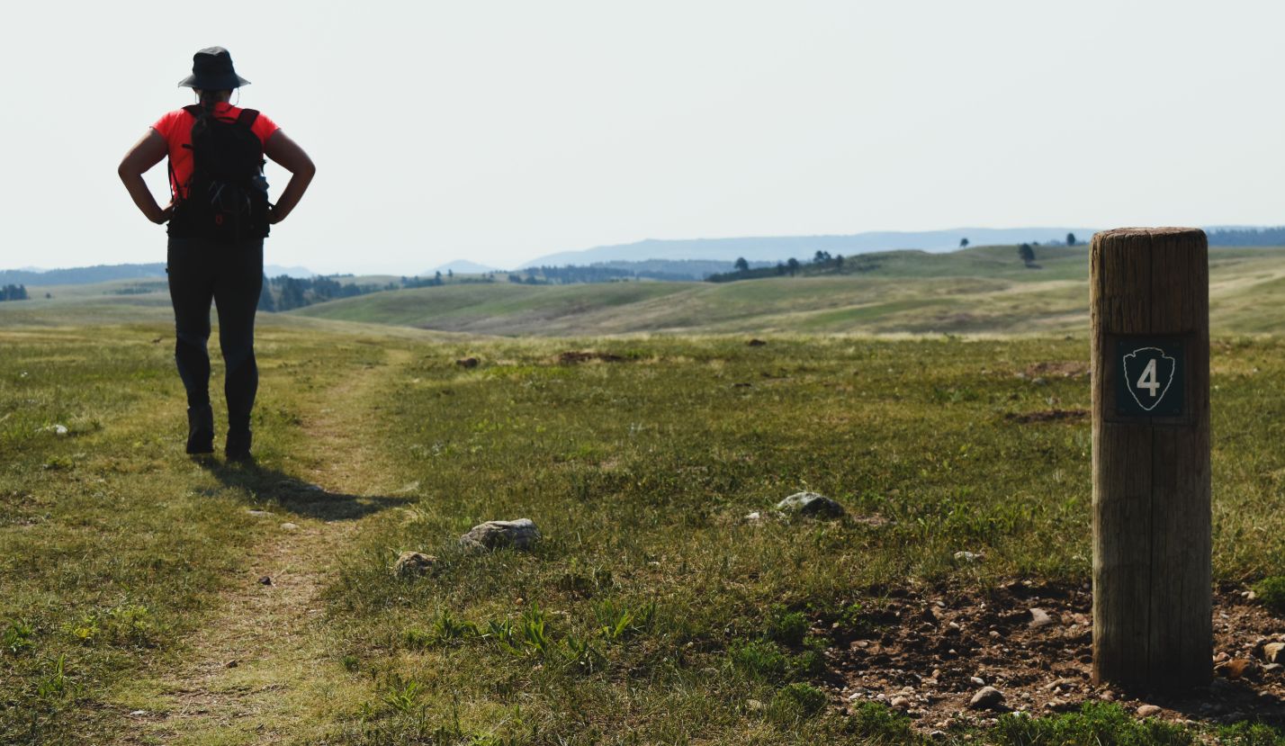
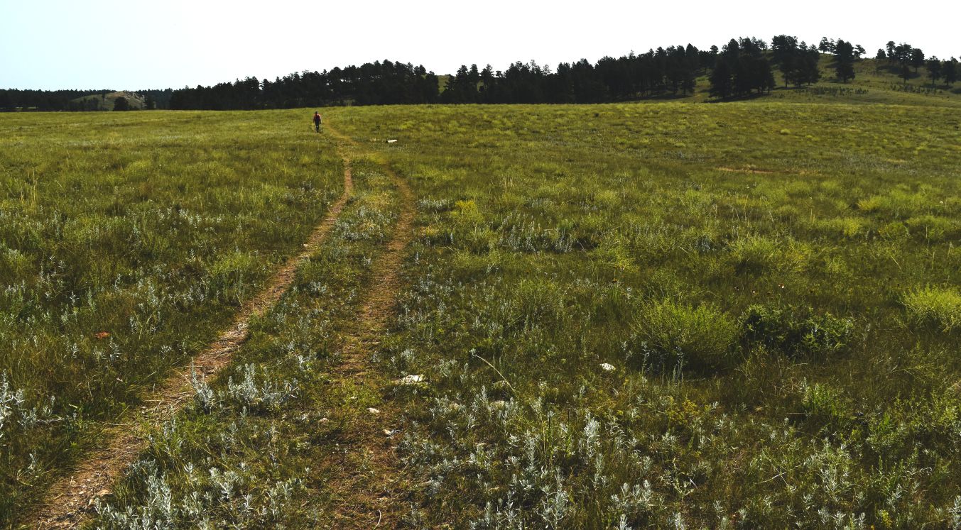
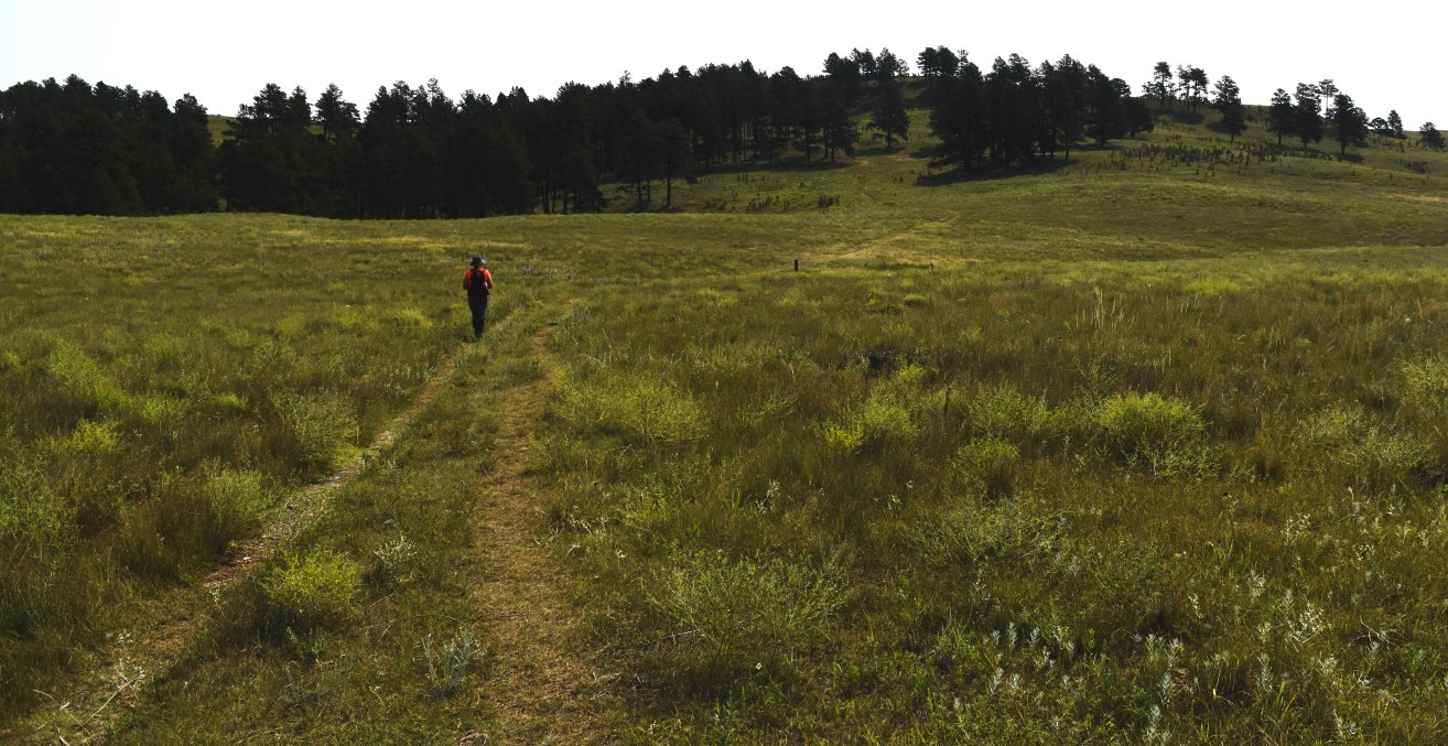
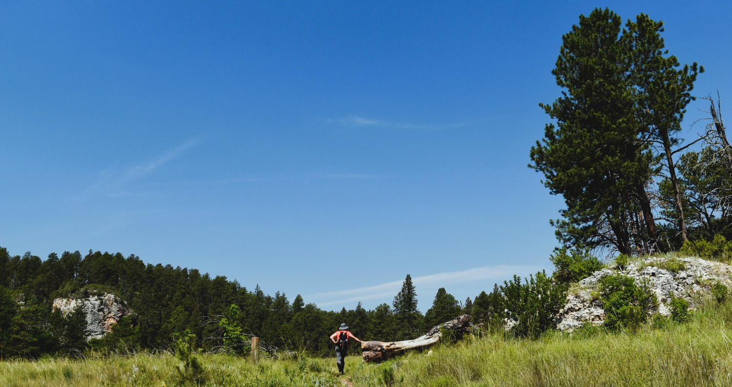
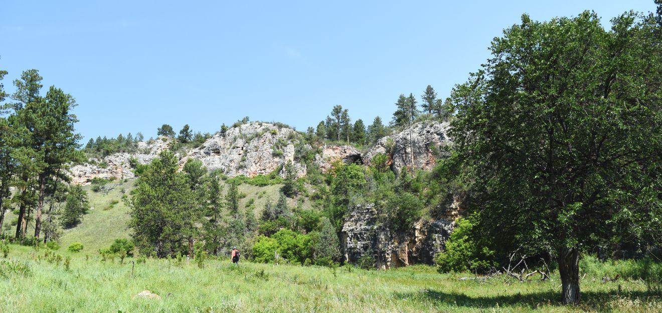
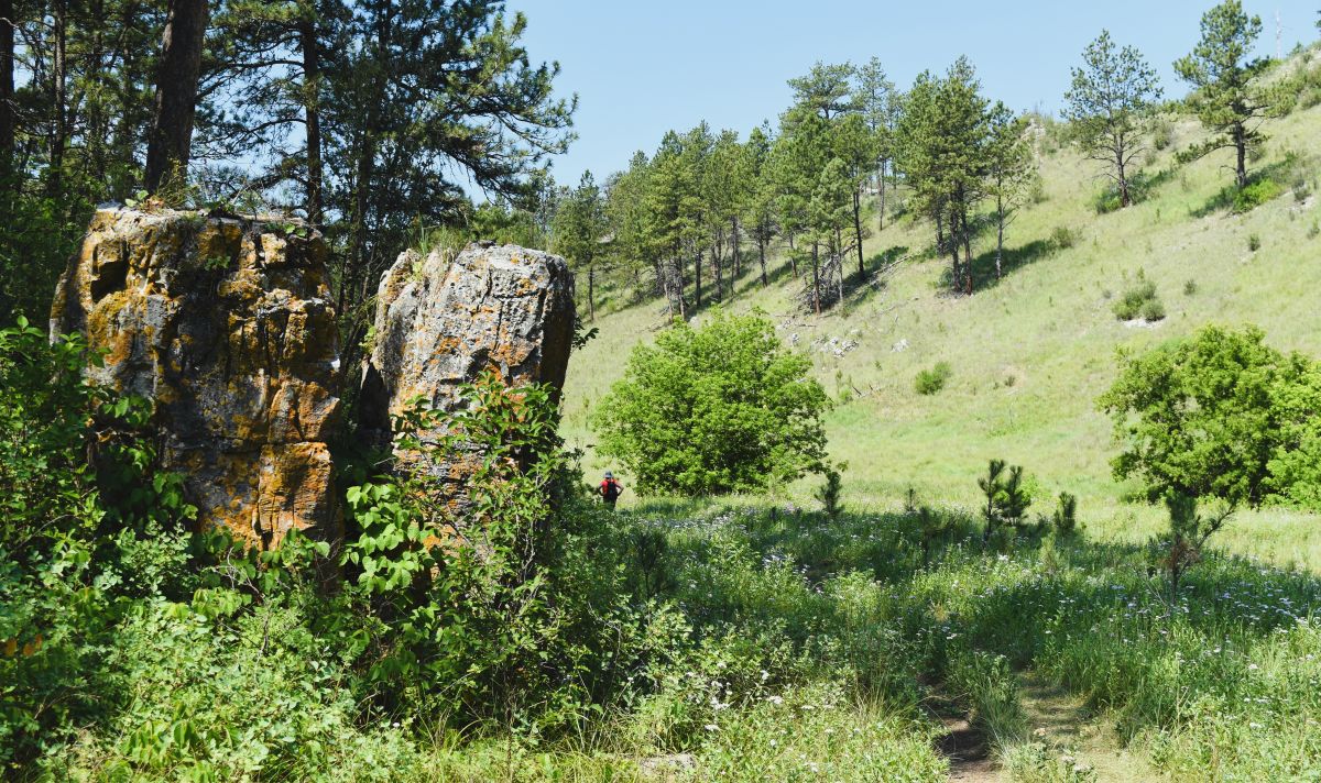
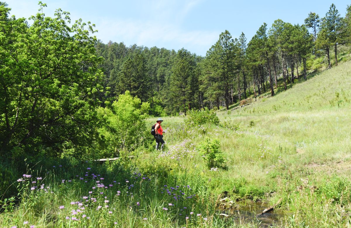
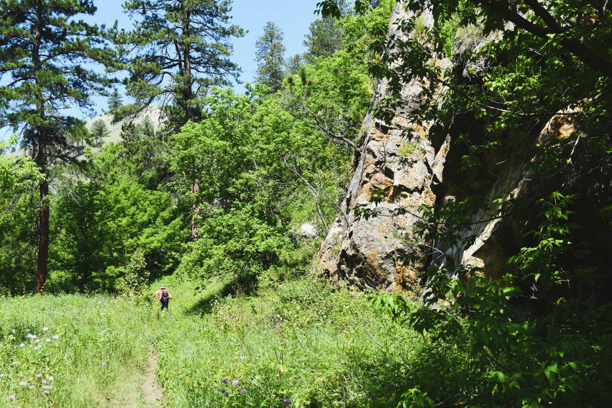
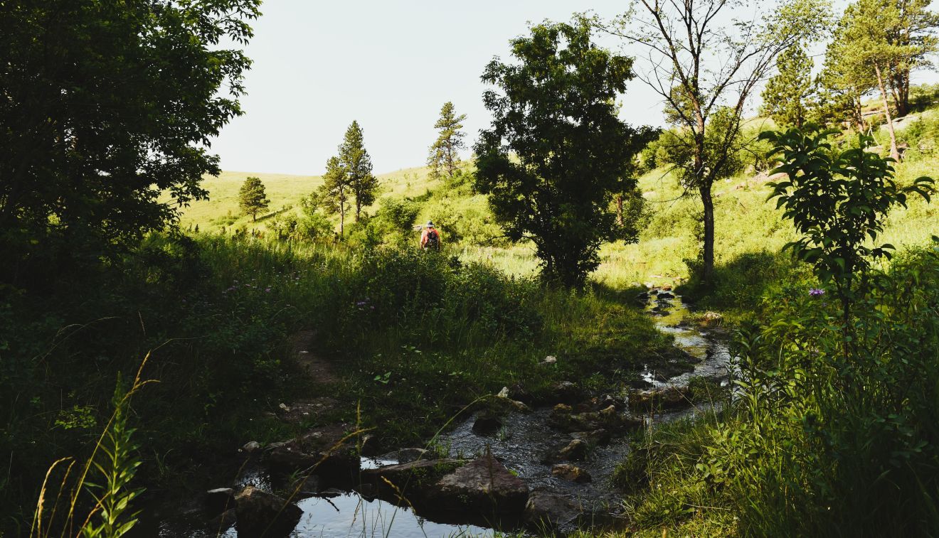
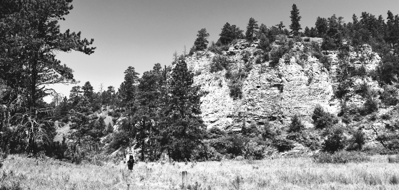
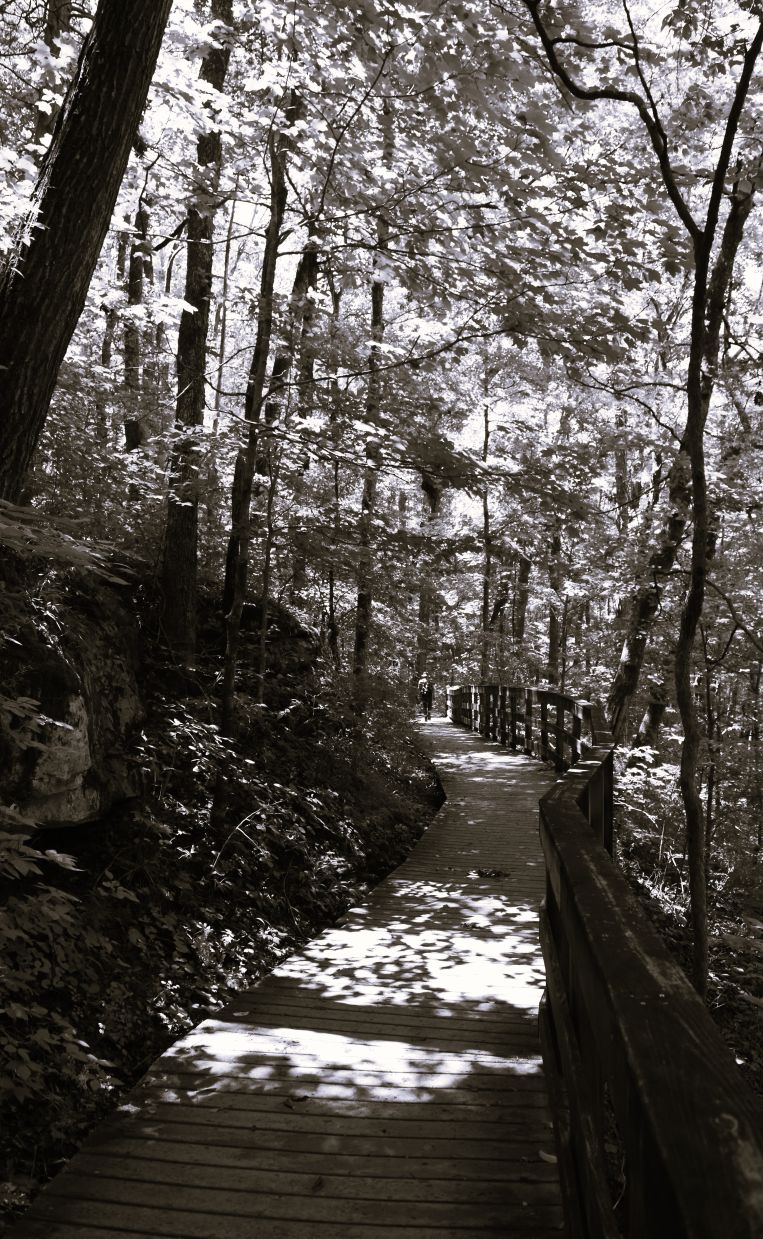
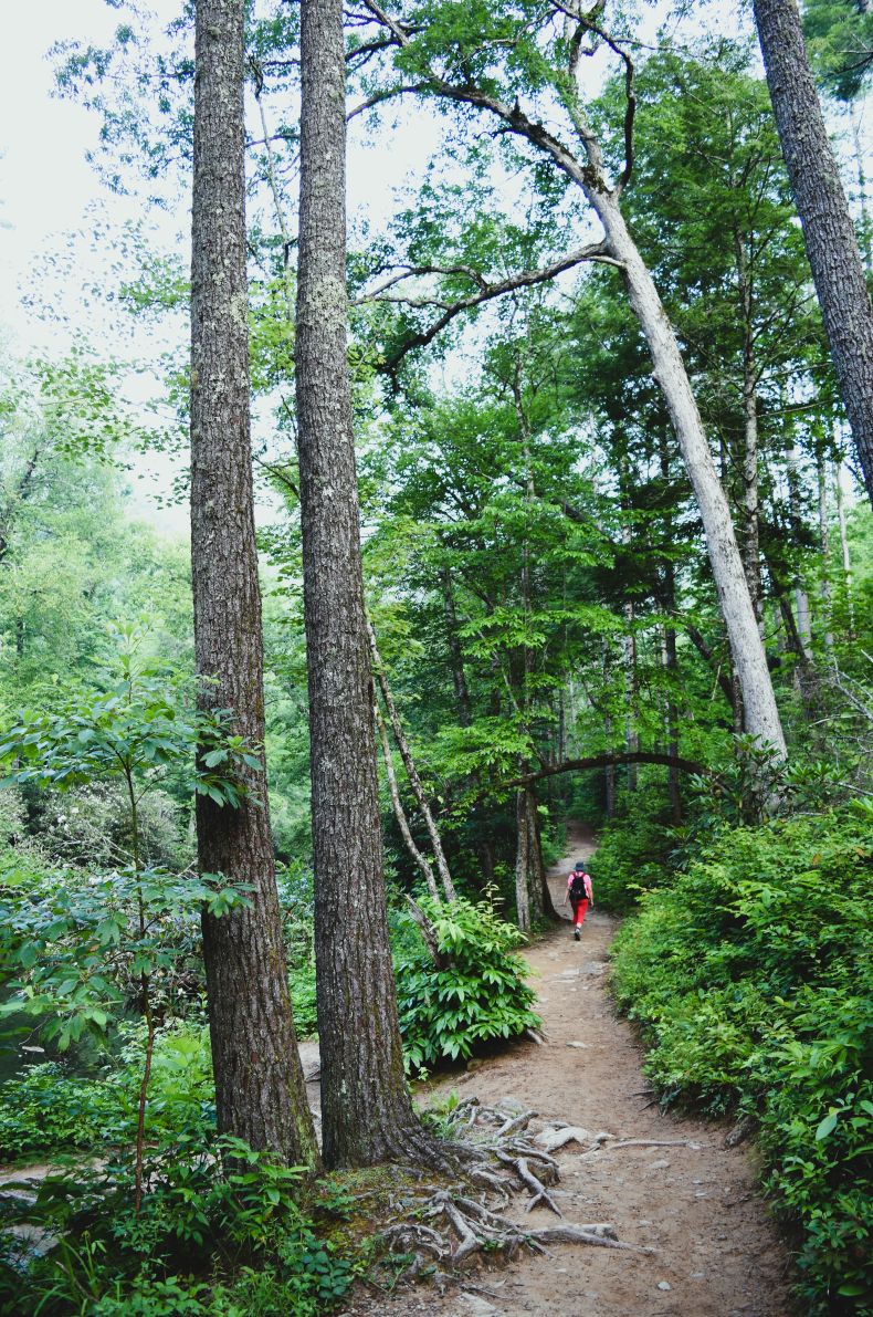
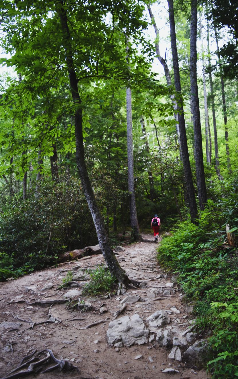
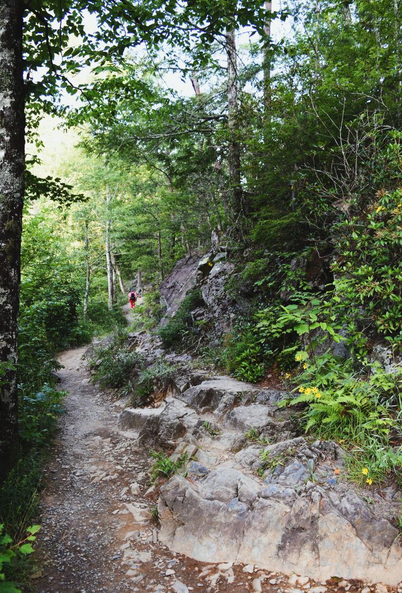
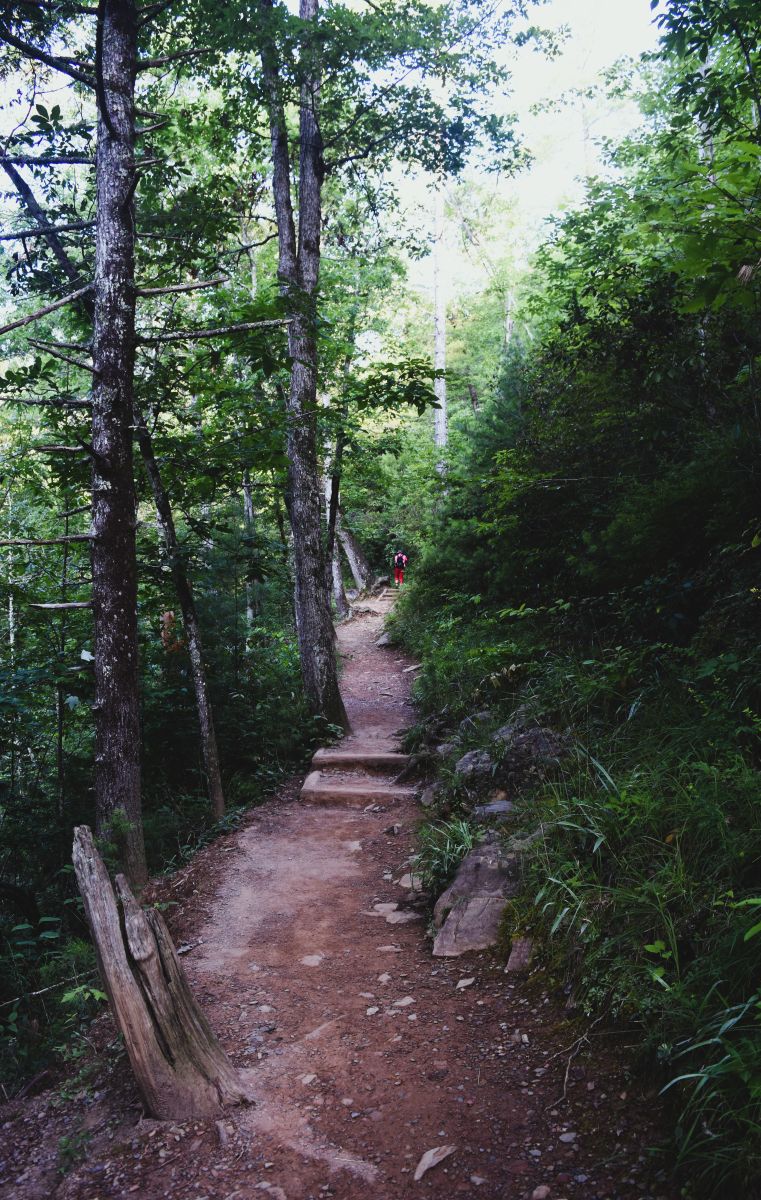
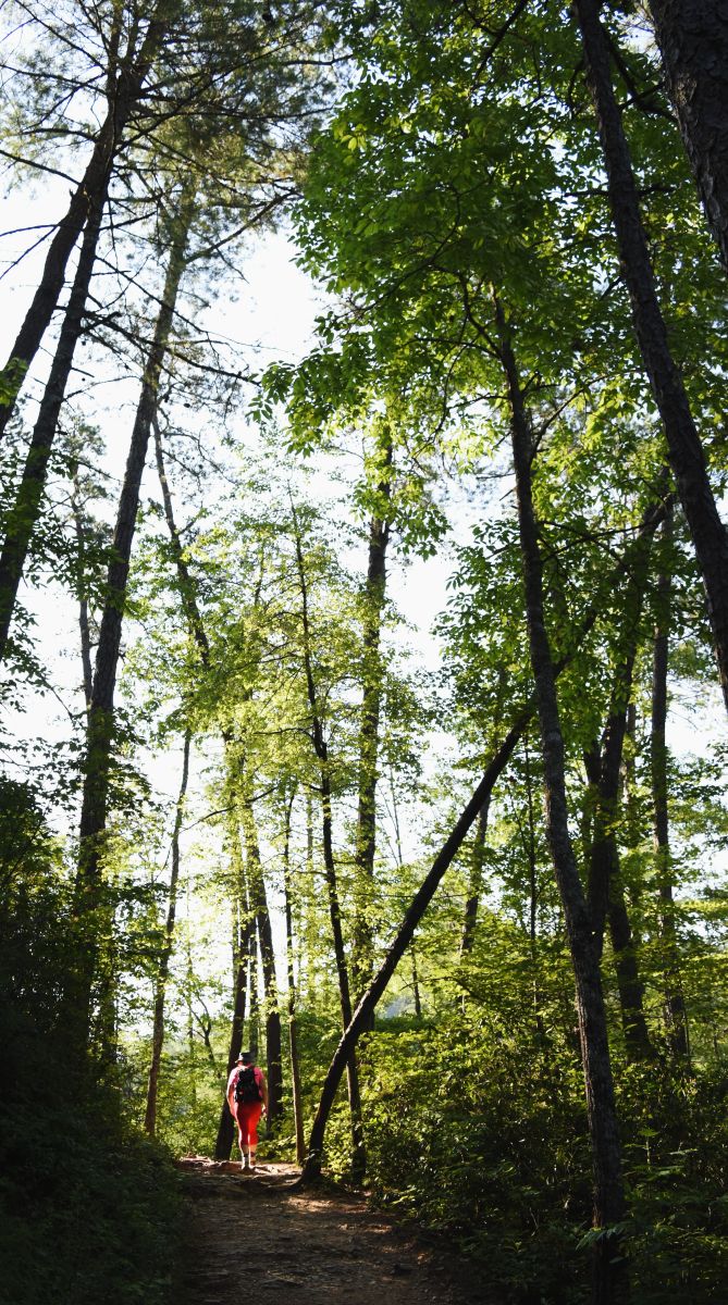
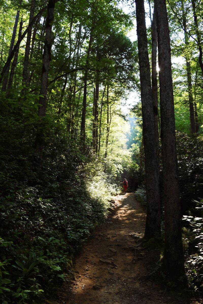
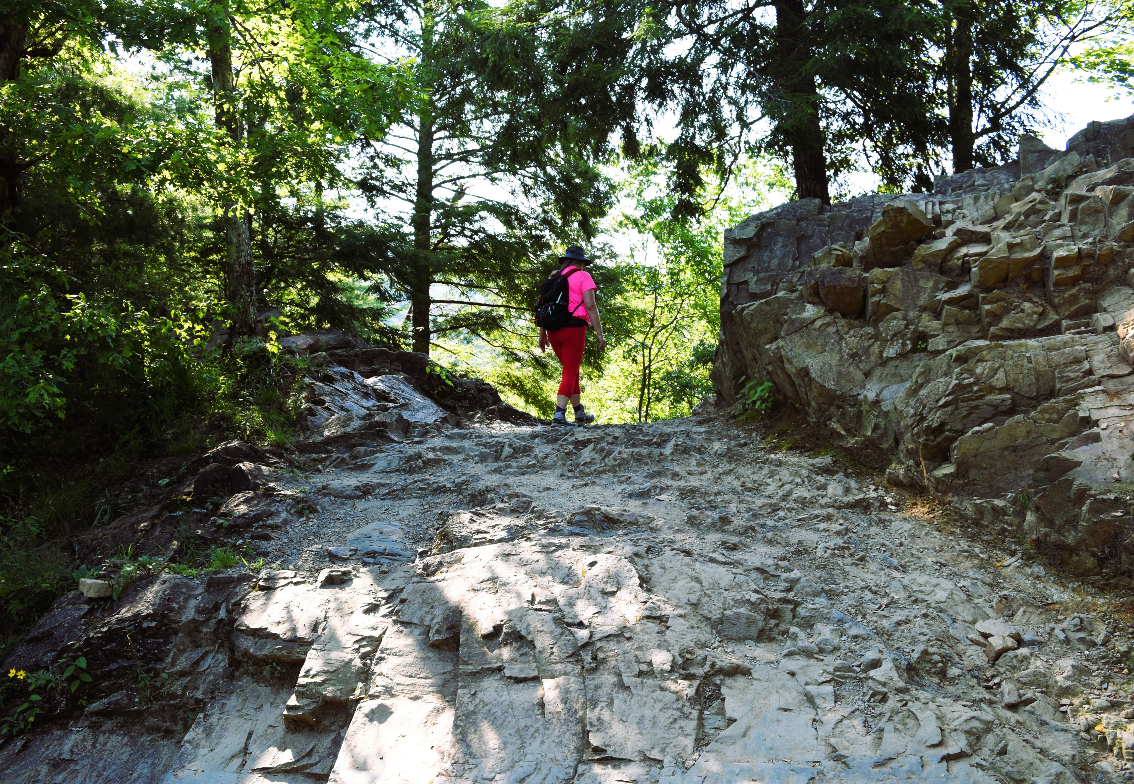
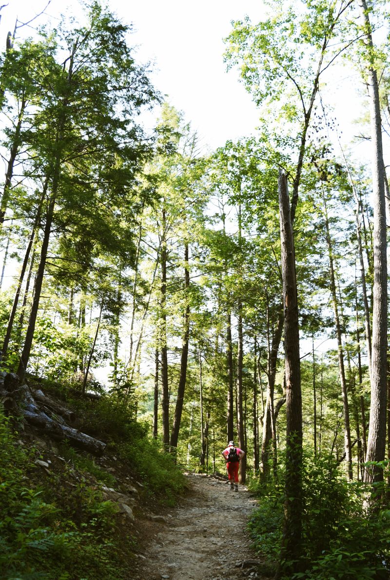
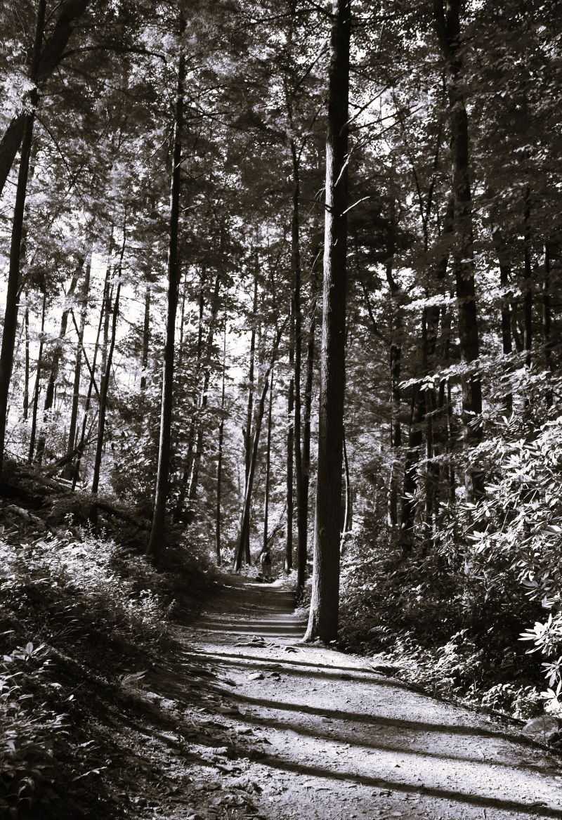
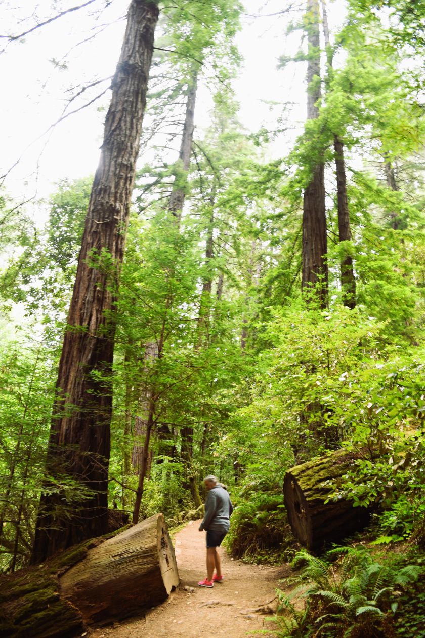
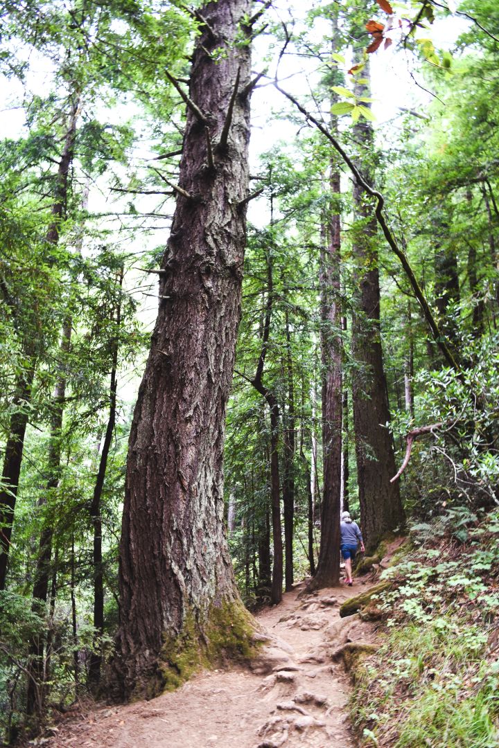
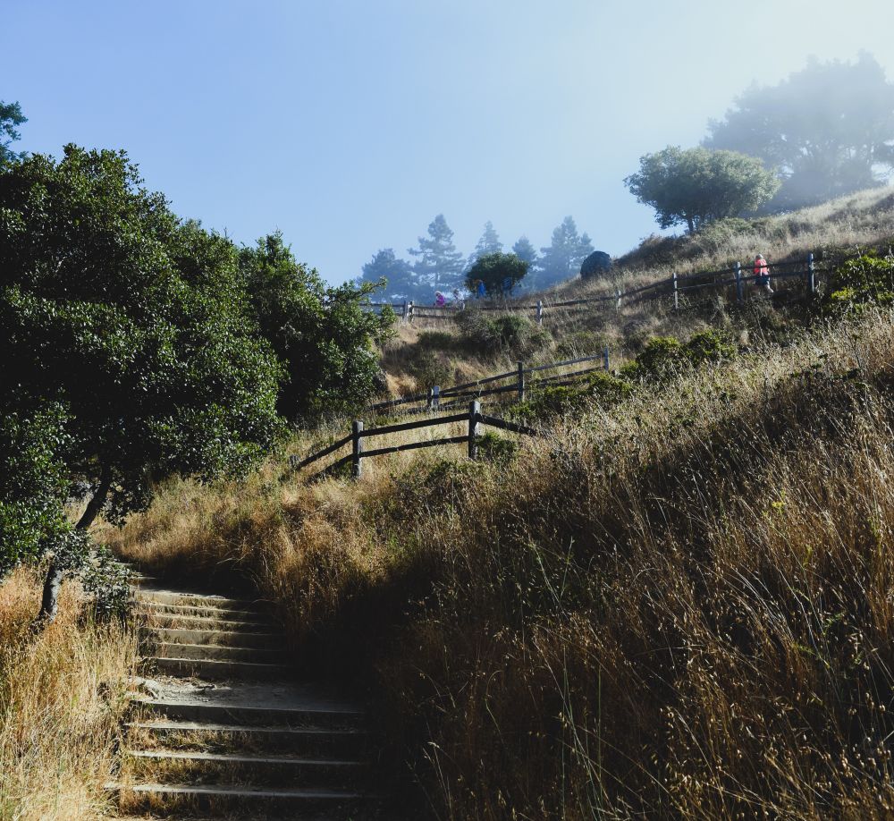
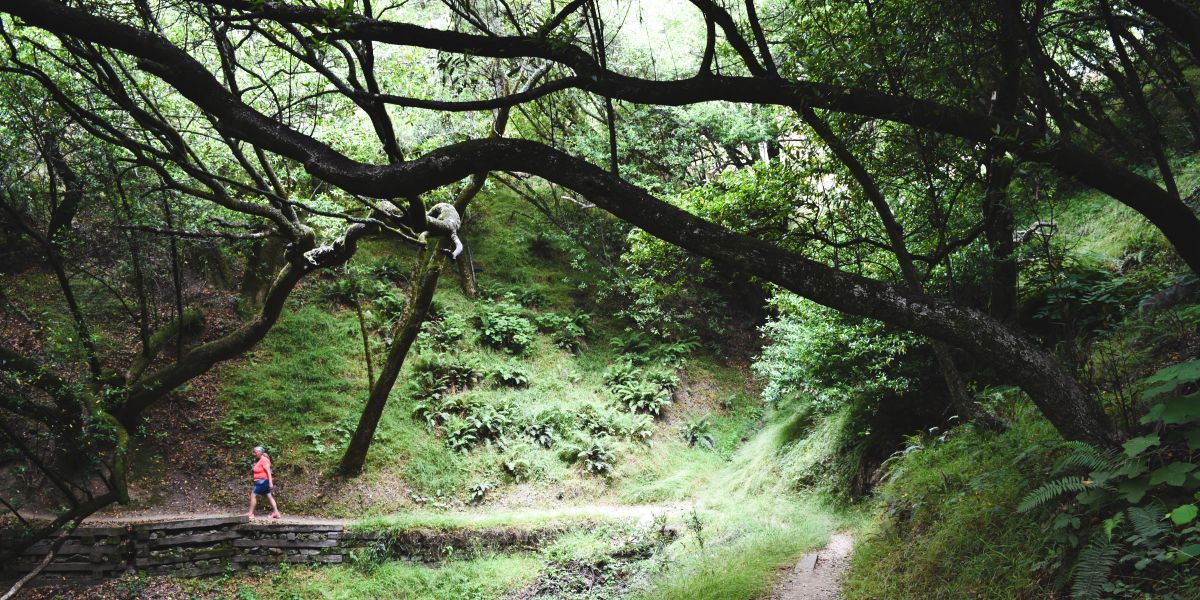
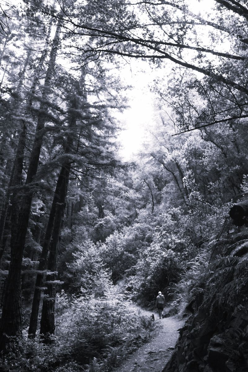
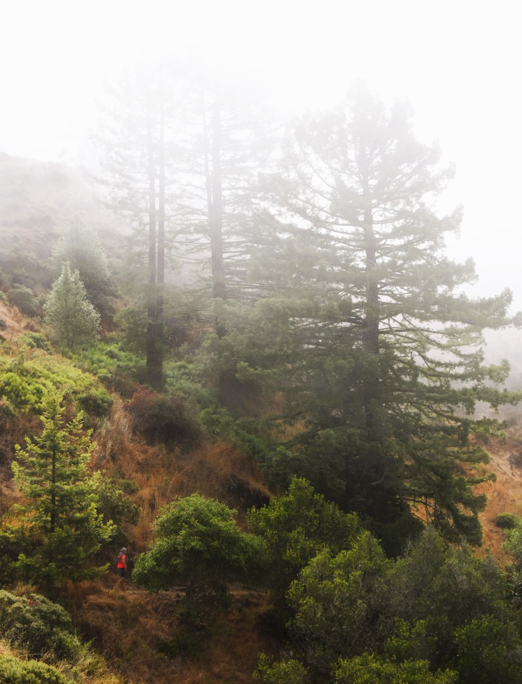
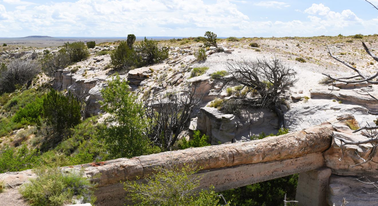
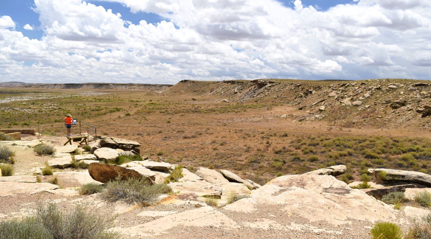
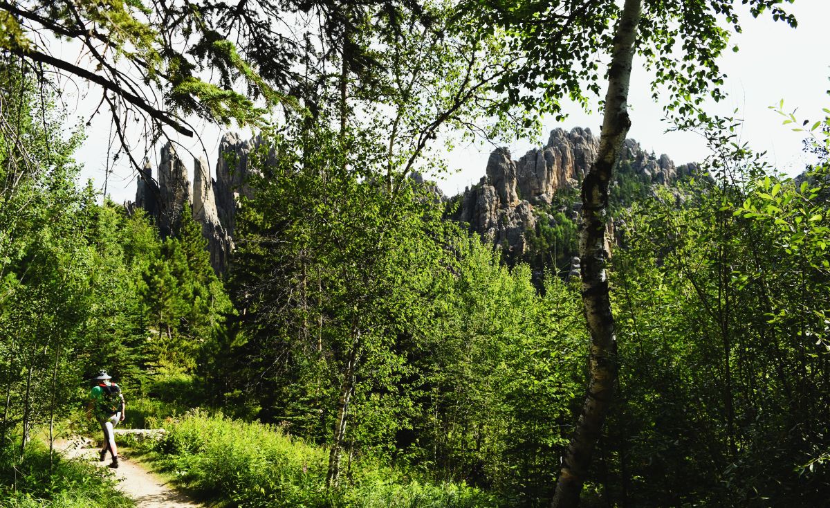
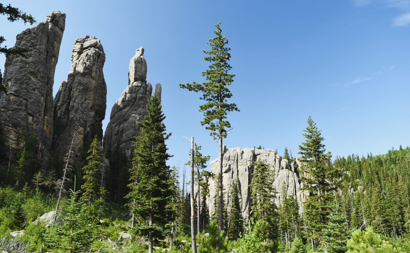
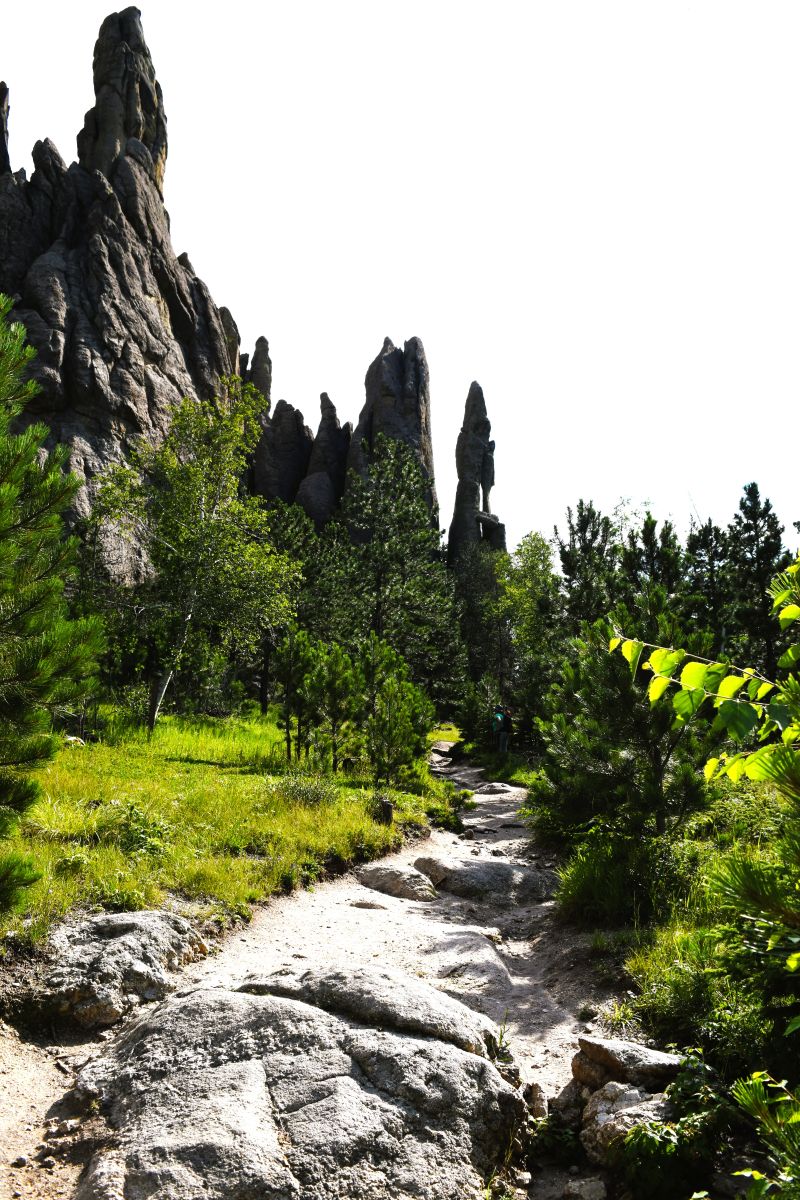
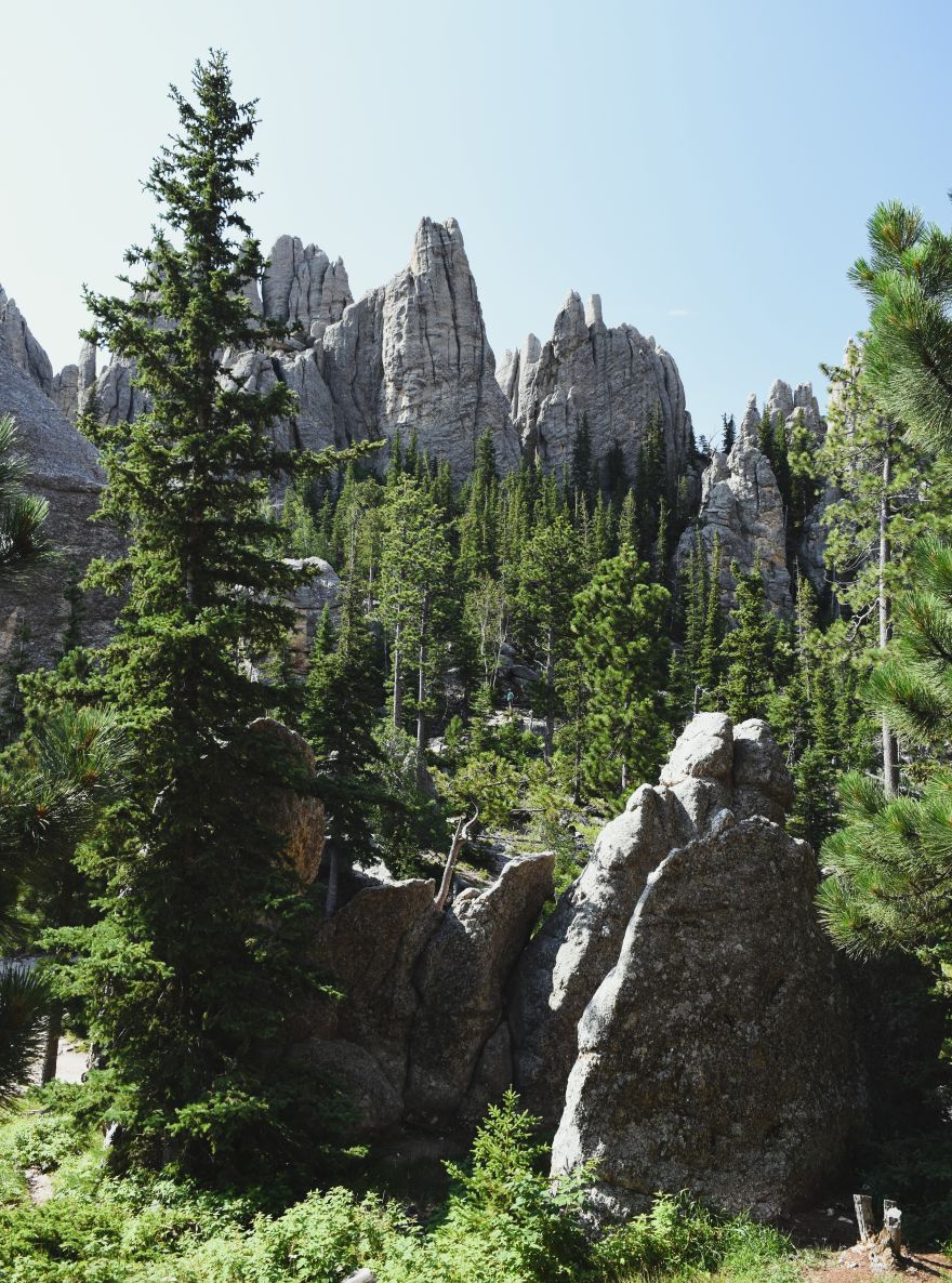
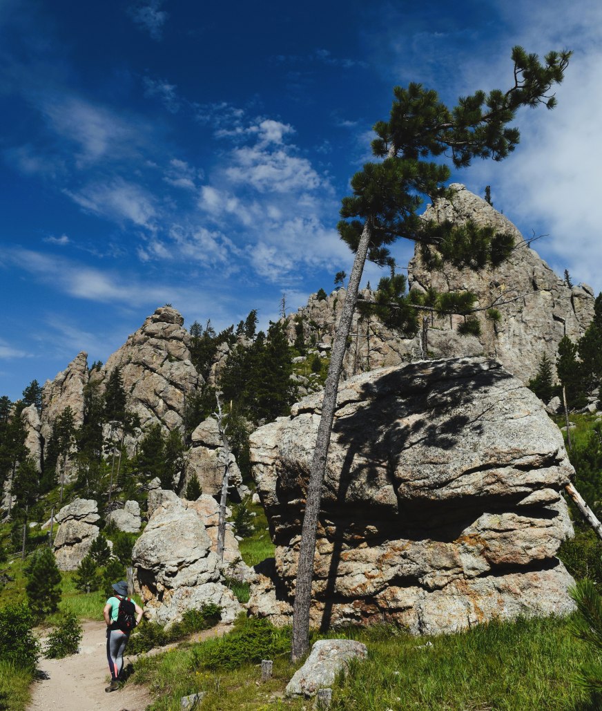
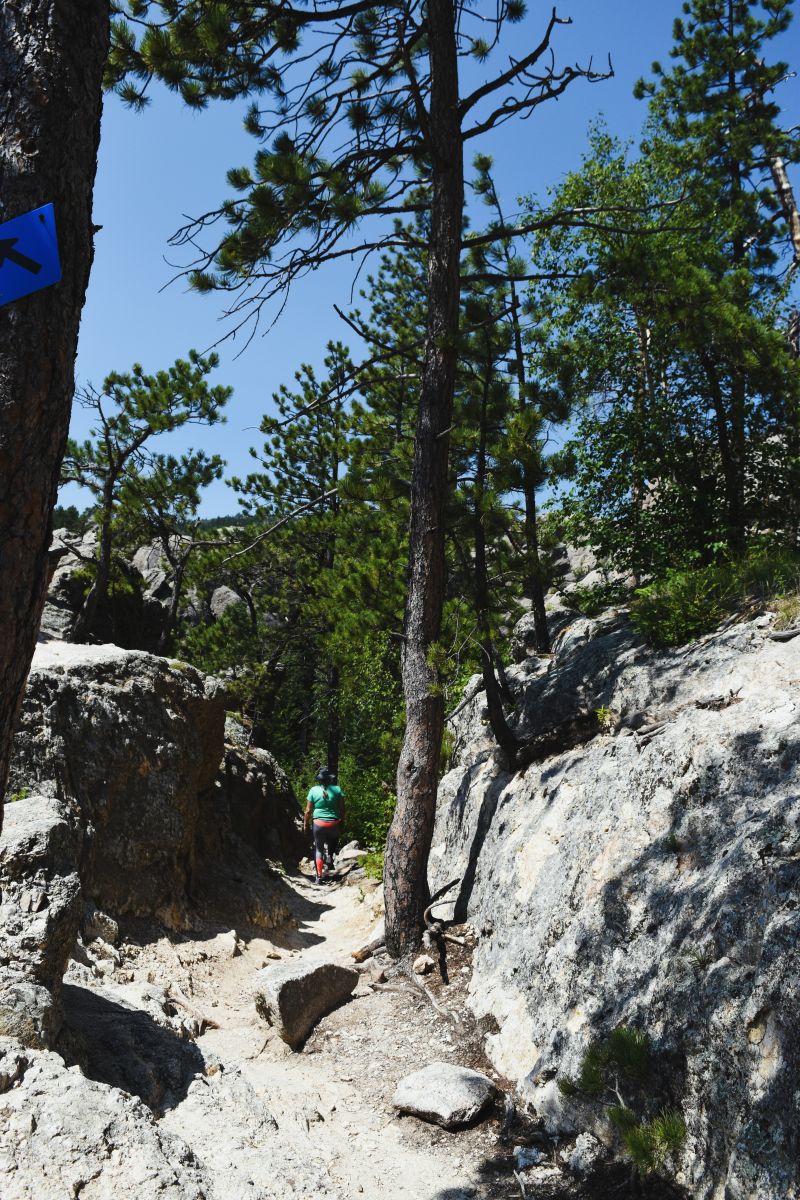
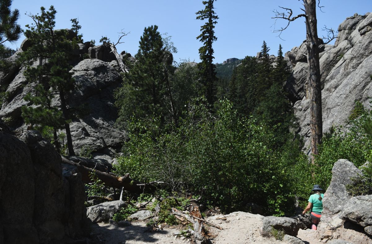
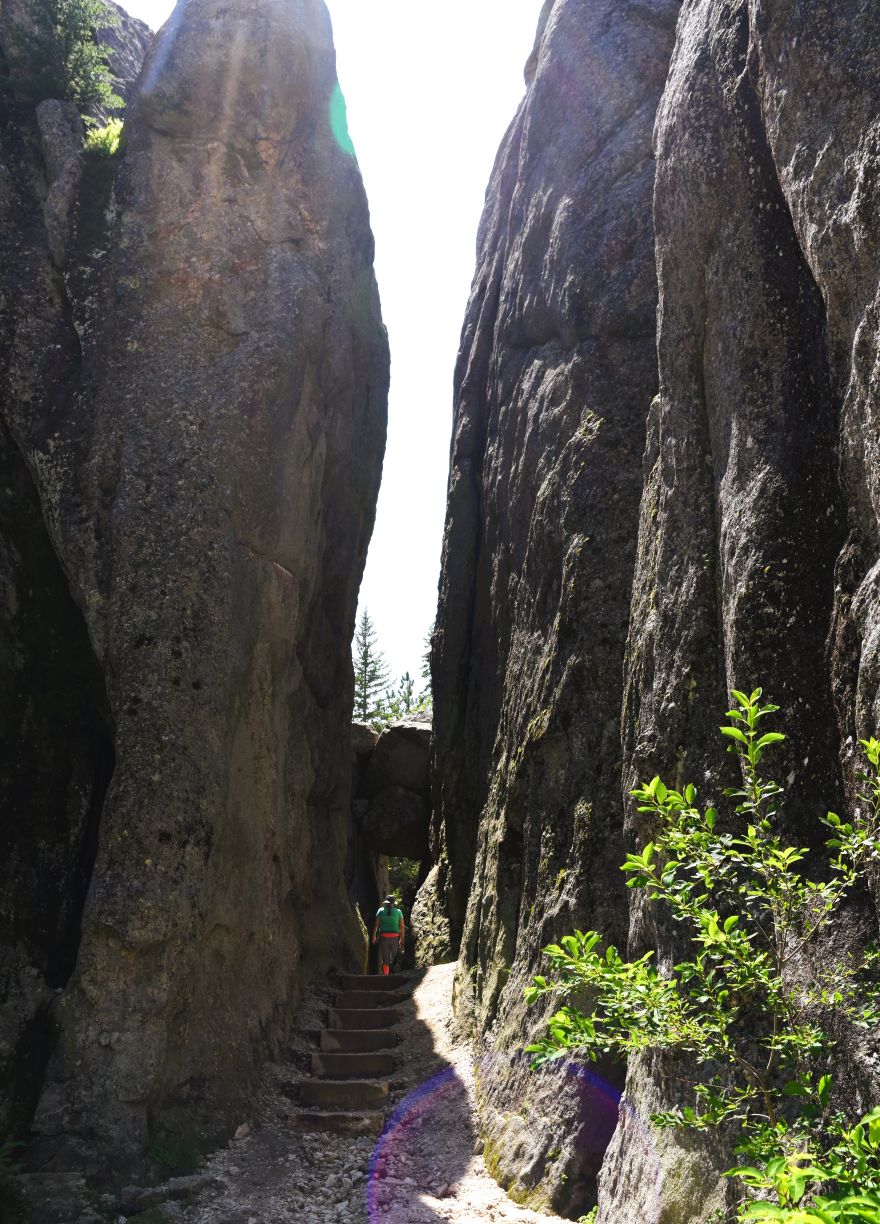
The trail itself is a bit of a climb and rock scramble most of the way up. But the views are spectacular all the way.

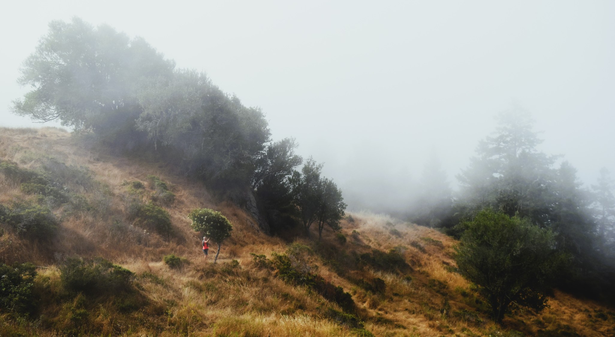
Sometimes the view is ahead of you….or right beside you and up…..

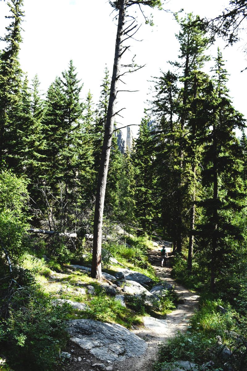
….or sometimes when you stop for a breath and turn around to look down….

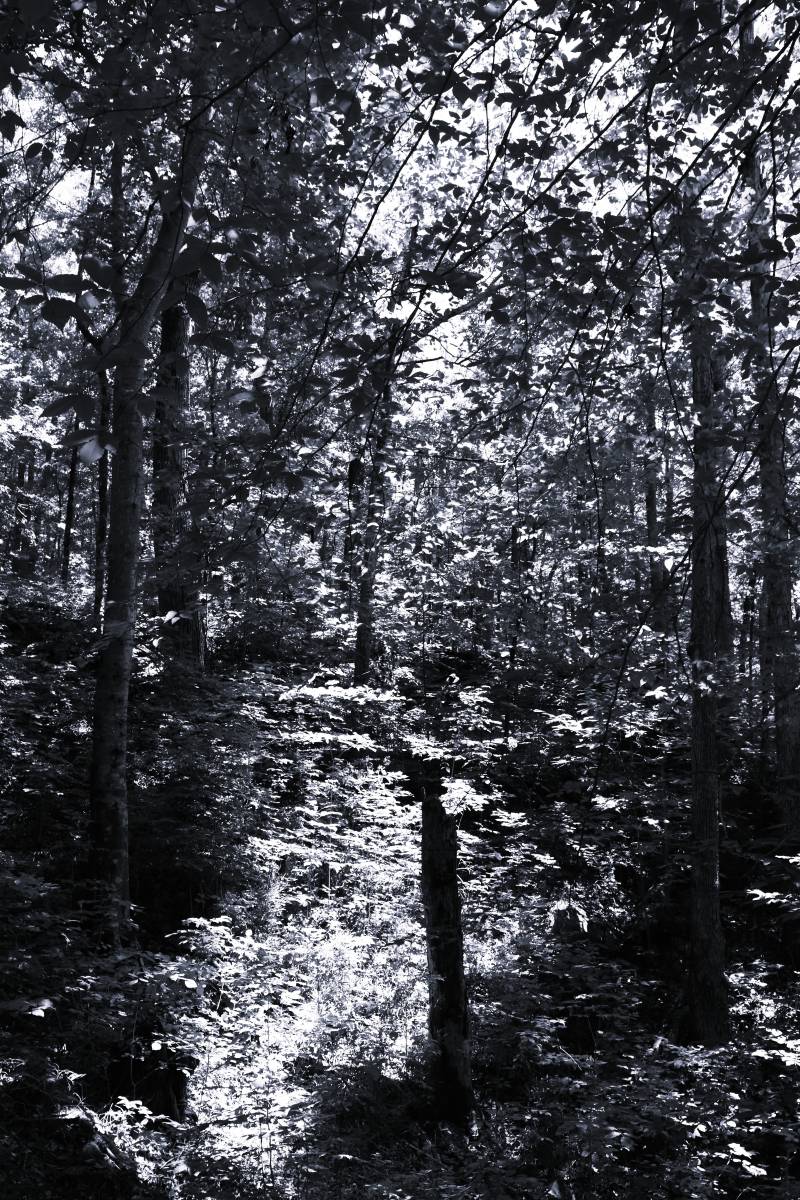
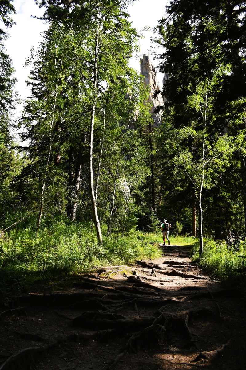
Hydration and frequent rests are crucial on these paths……this one is not a long hike …but it’s a decently challenging climb…..especially for the heat of this season.

Another rest and opportunity to turn around and look out…..and up…

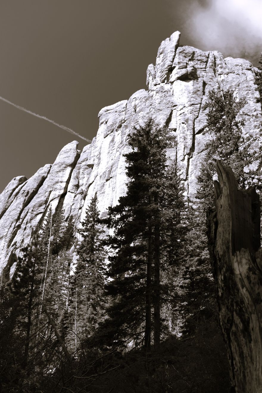
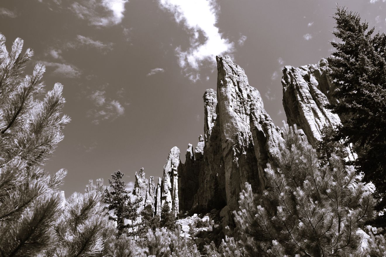
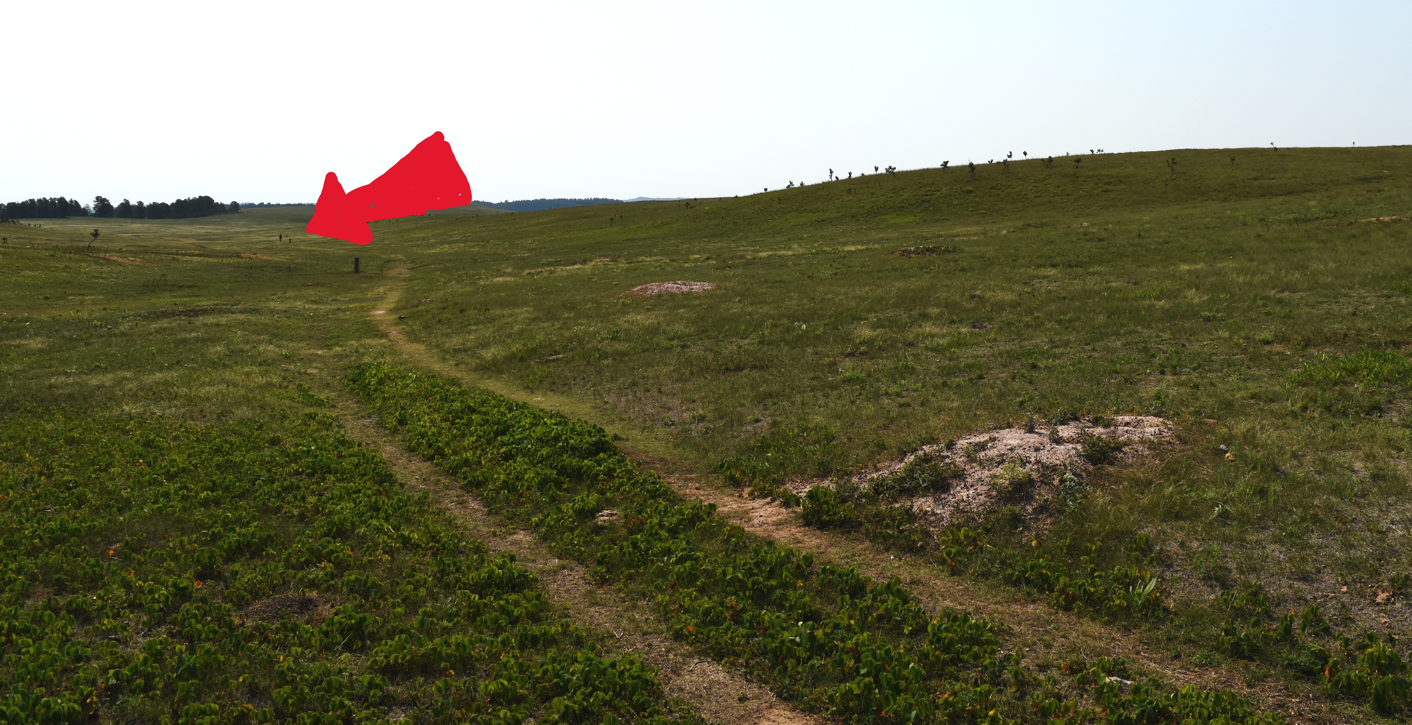
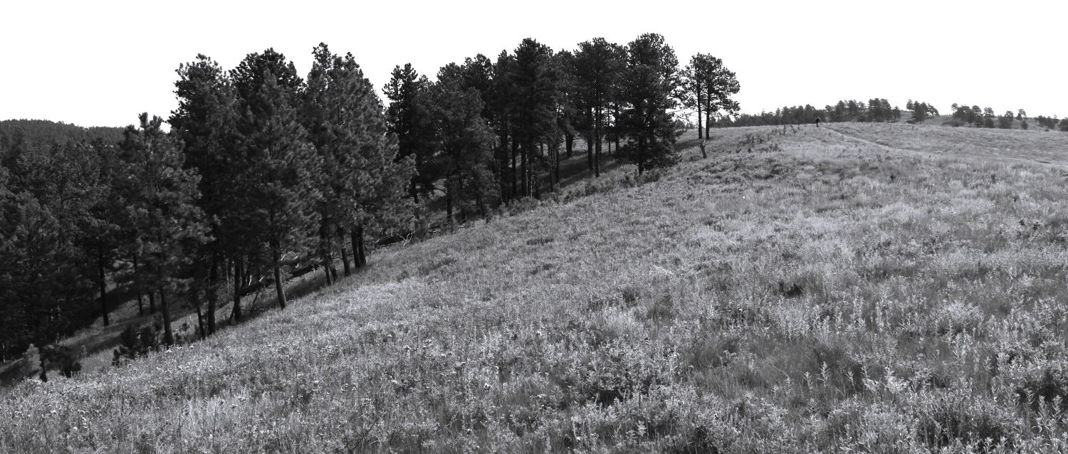
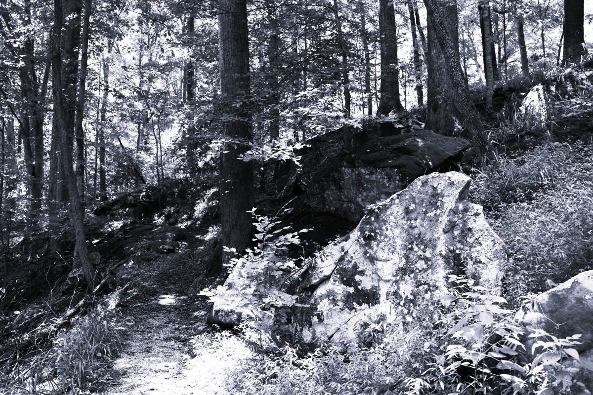
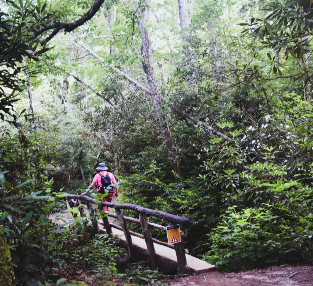
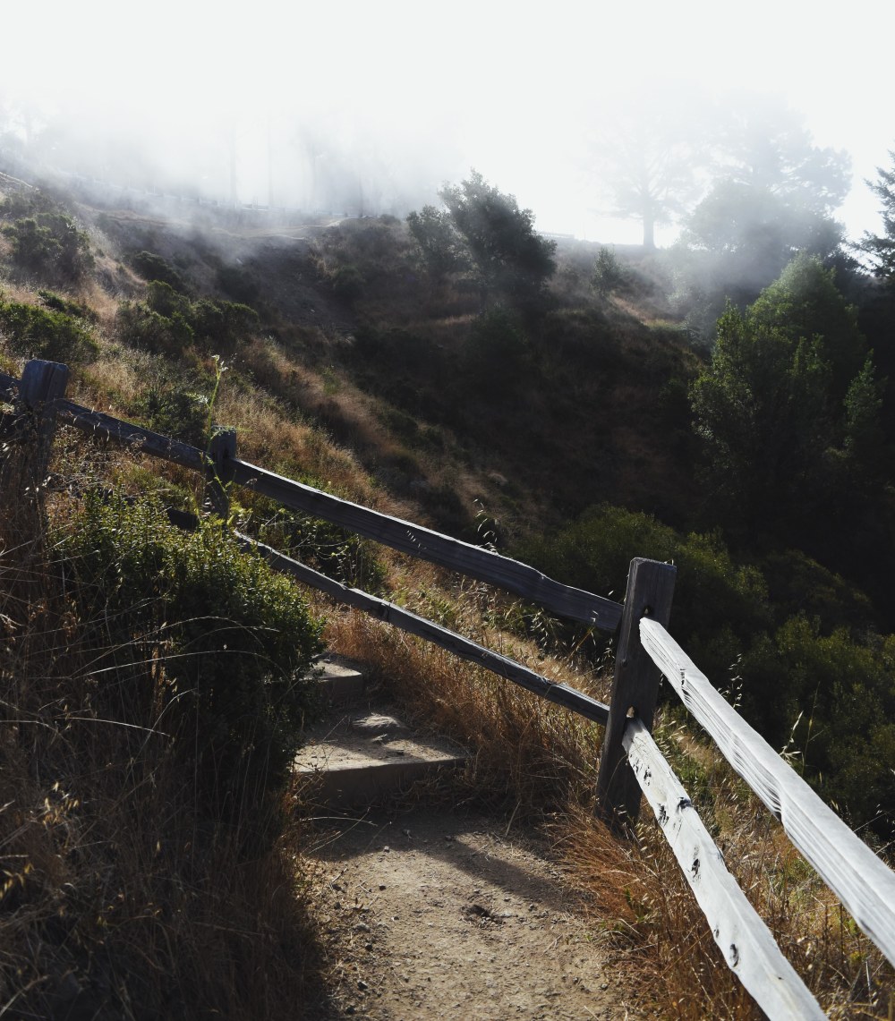
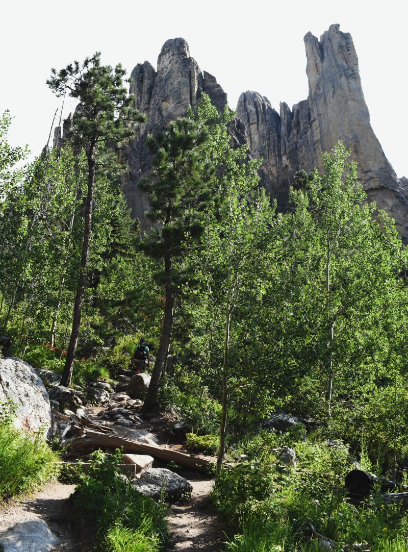
Near the top the path levels out and continues along the base of the spires…

It was interesting to see the spires from the other side…..I’m still not sure how people manage to climb up to the top of them (When we did Black Elk Peak…we could see people standing on the tops of the spires…having climbed up)

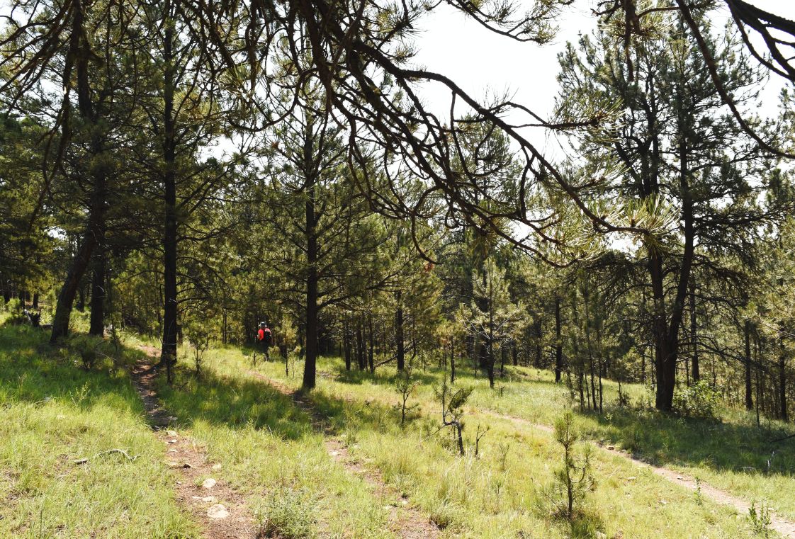
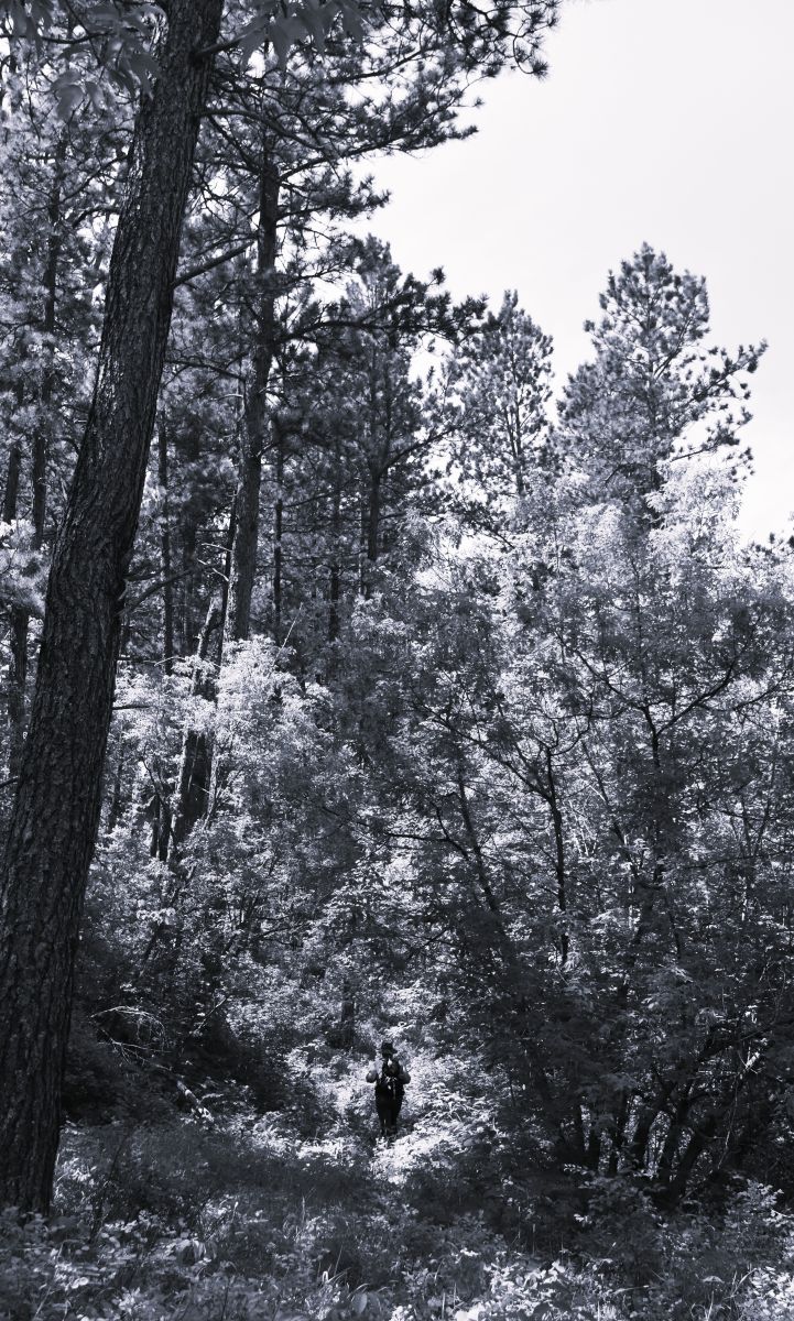
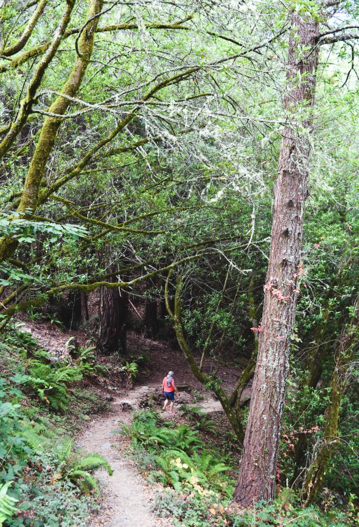
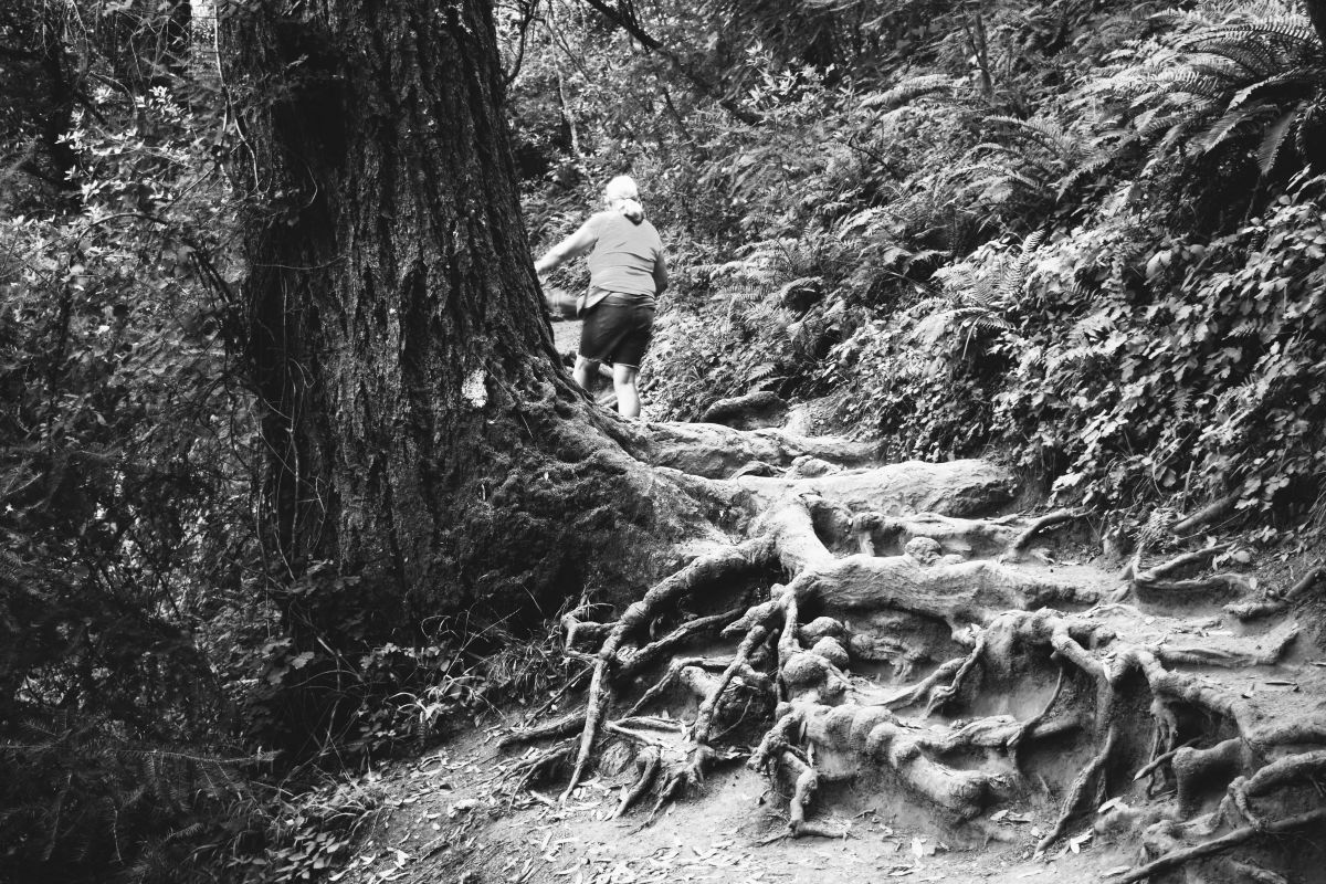
As with most rock scrambley paths…the way down is about as entertaining as the way up…!!!

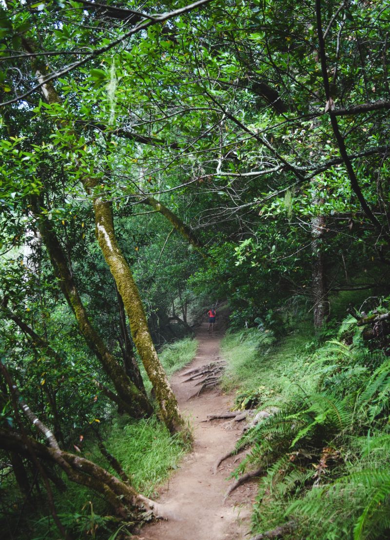
Even tho my guy carefully takes his pictures without other people in them….this was a fairly busy trail…..and getting busier as we descended.

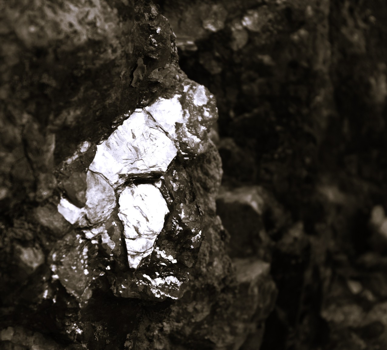
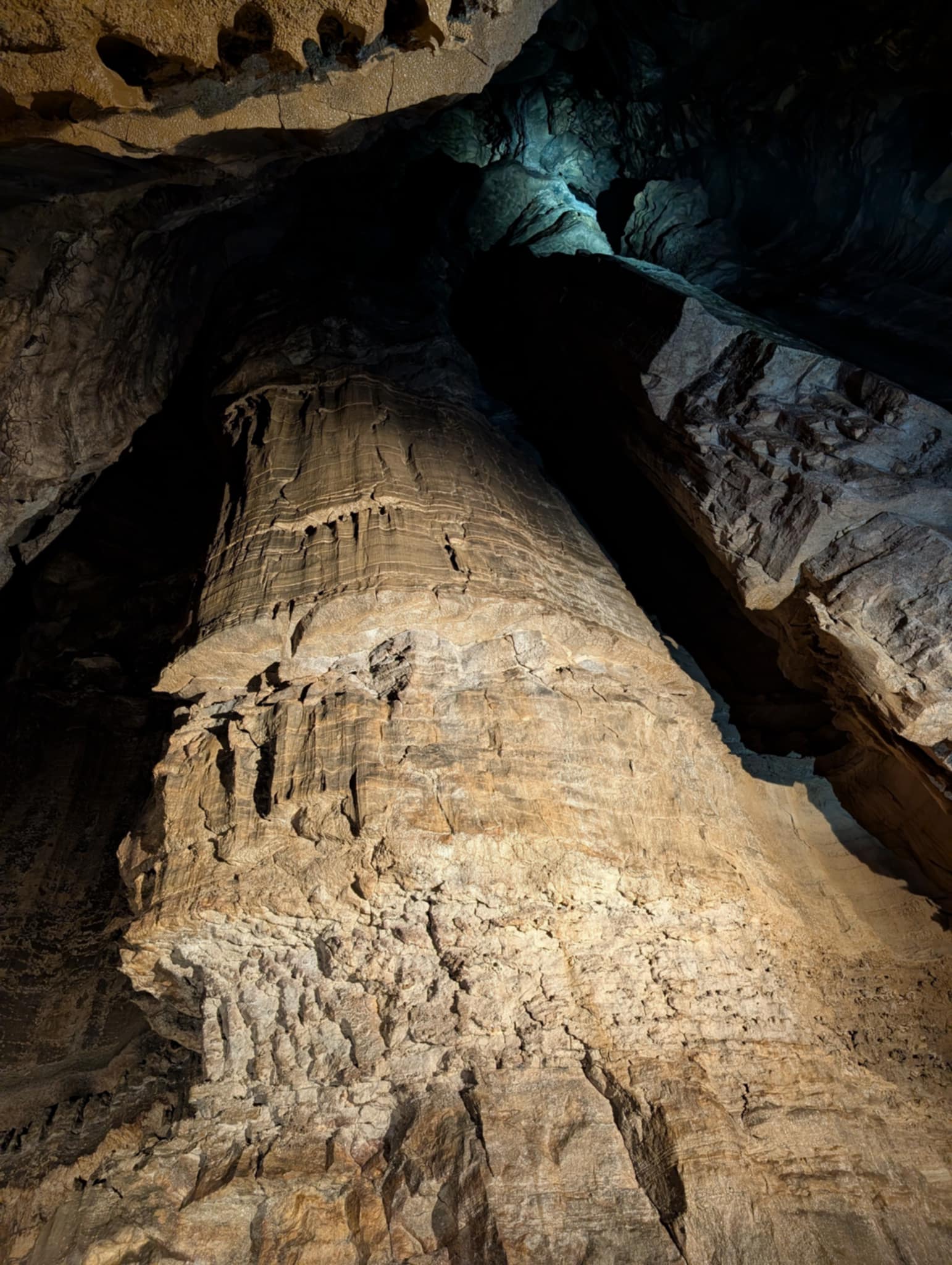
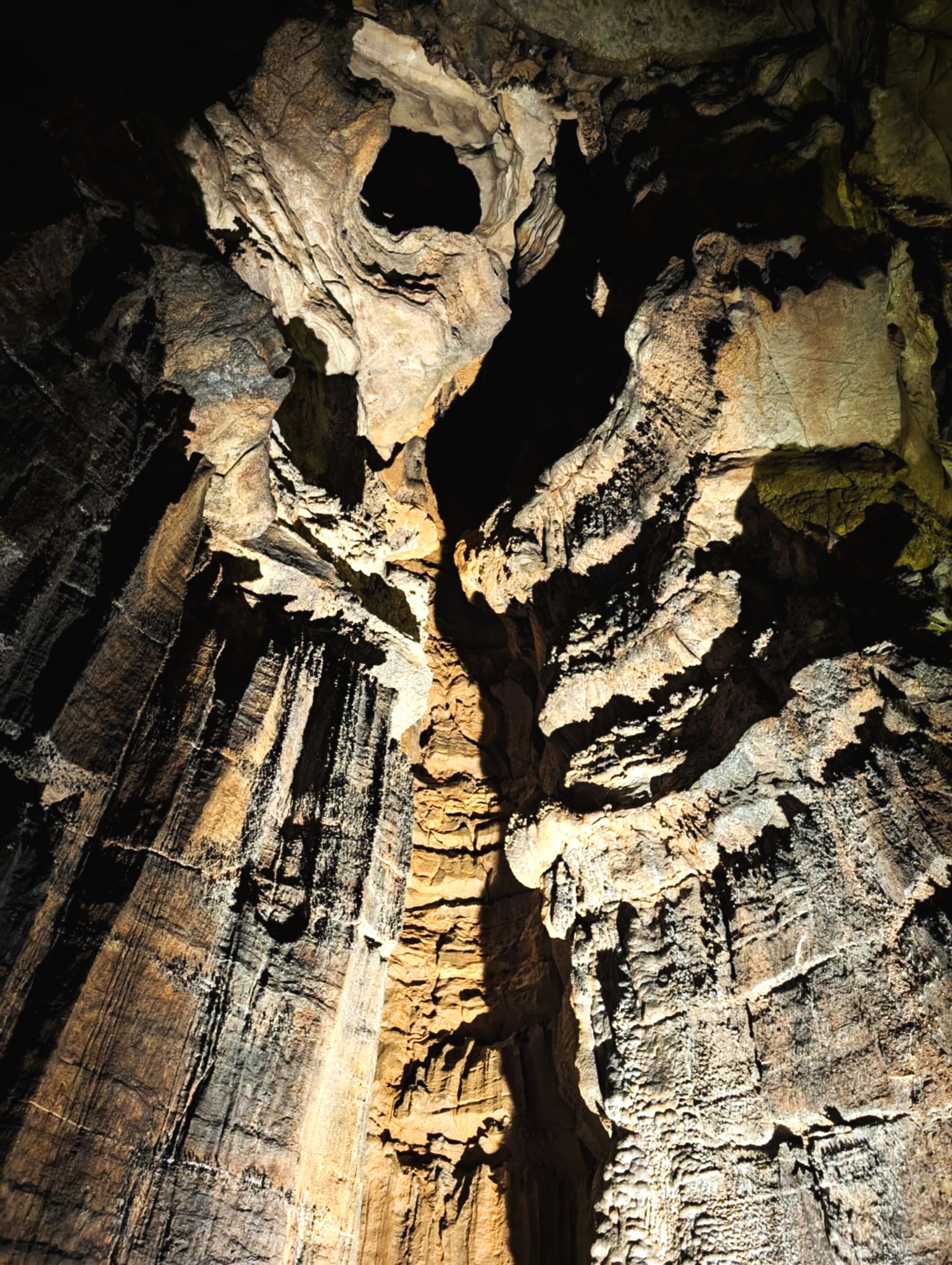
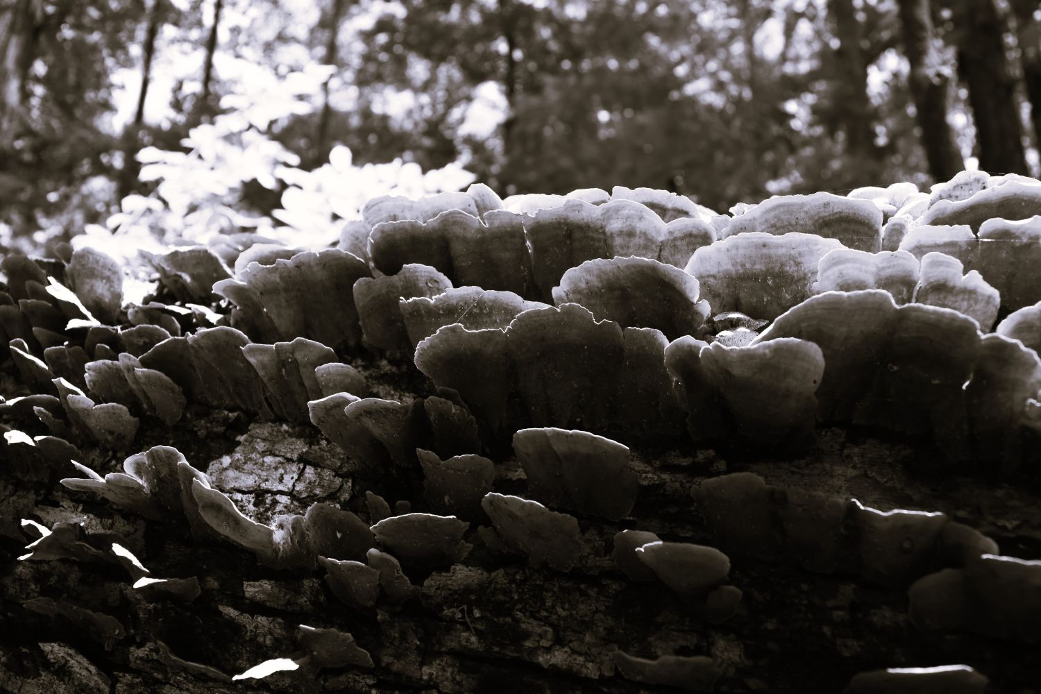
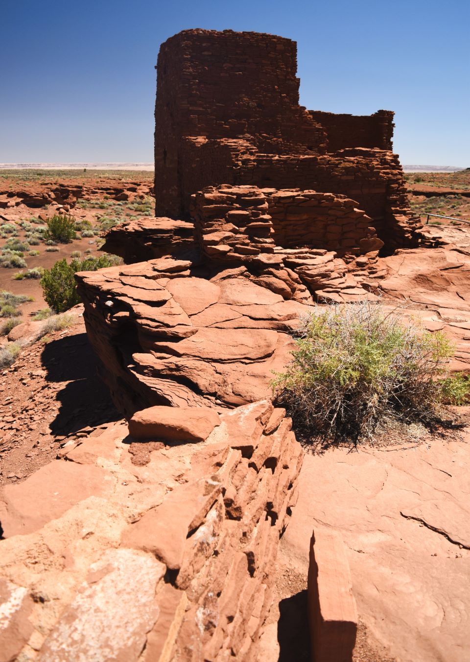
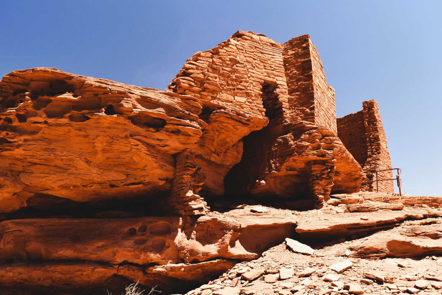
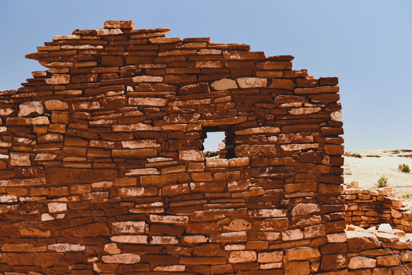
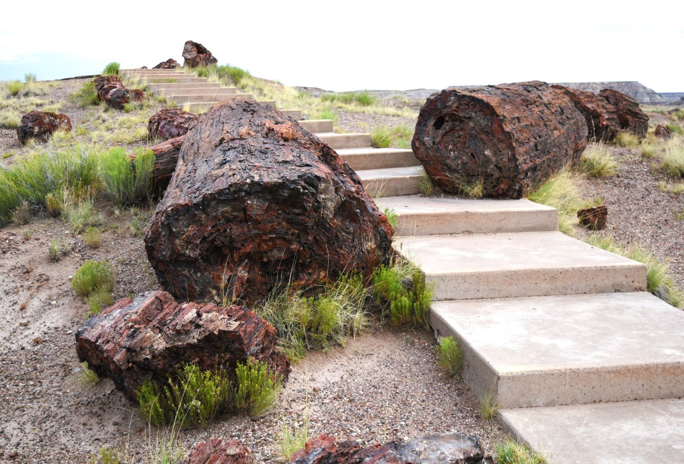
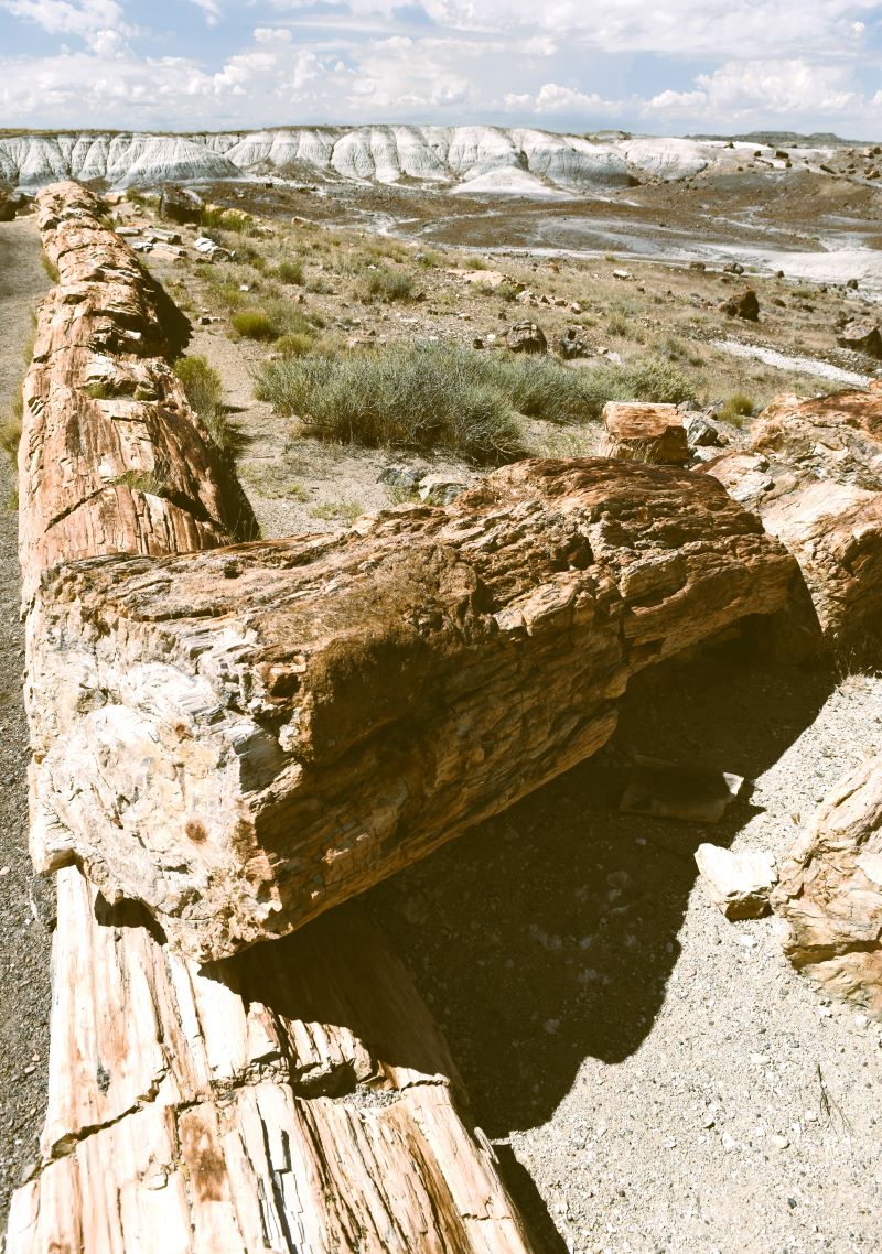
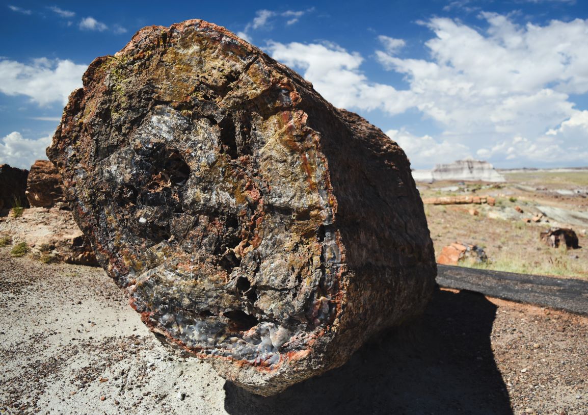
Part way down we spotted this ‘eagle’. Its easy to see why these rock formations were sacred to the indigenous peoples…..there are so many ‘faces’ and ‘figures’ in these rocks. They don’t have to be sculpted to look like something.

Near the bottom there was a sudden roar….and fly by of some military jets…..Mr Blogtographer was pretty quick off the mark to get the camera up to get these shots.

On the way back…the drive back through the tunnel is just as exhilarating the second time.

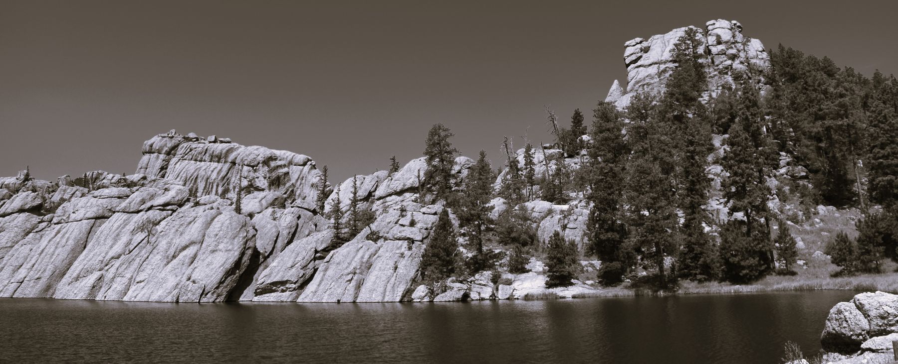
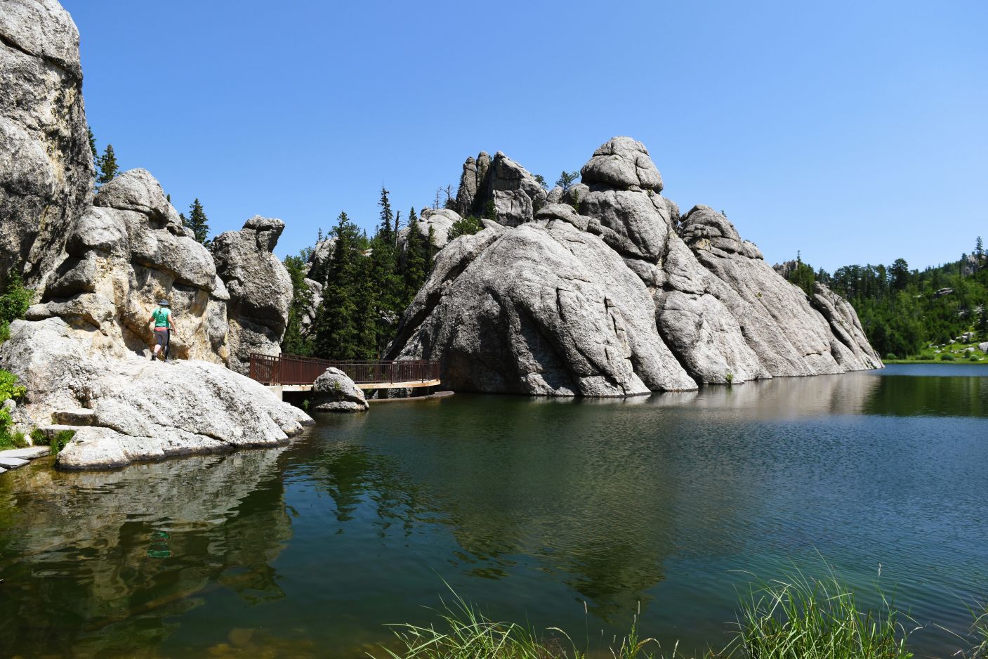
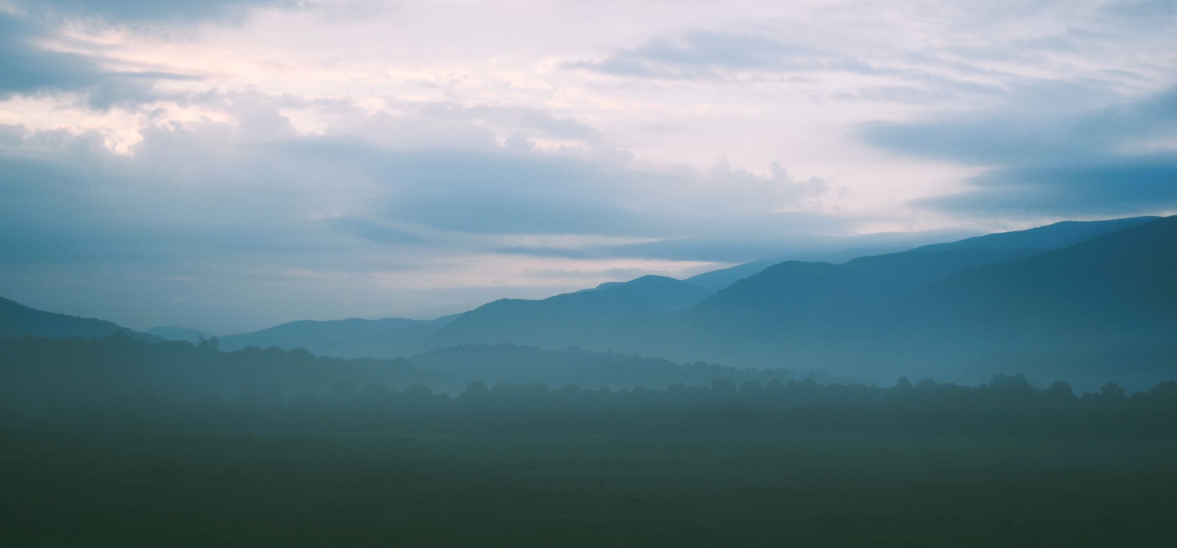
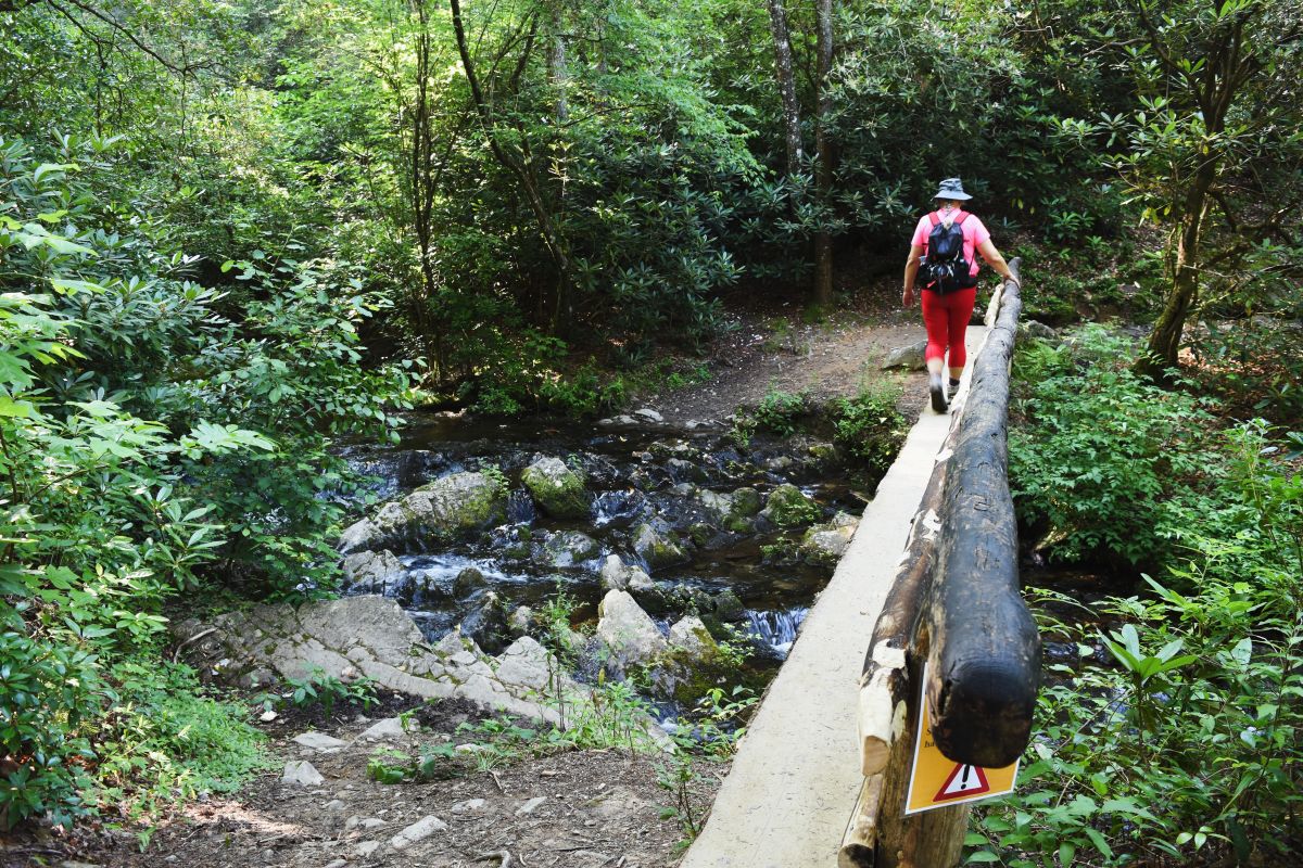
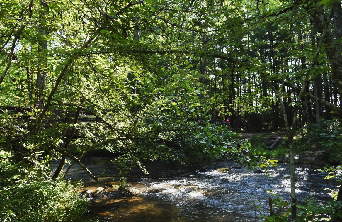
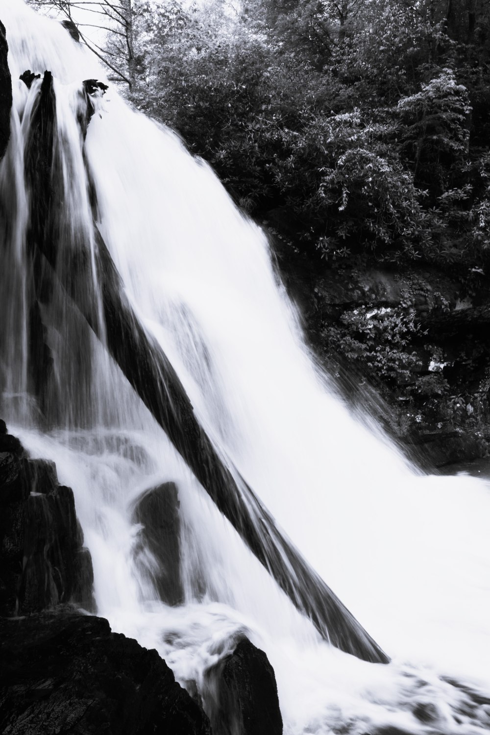
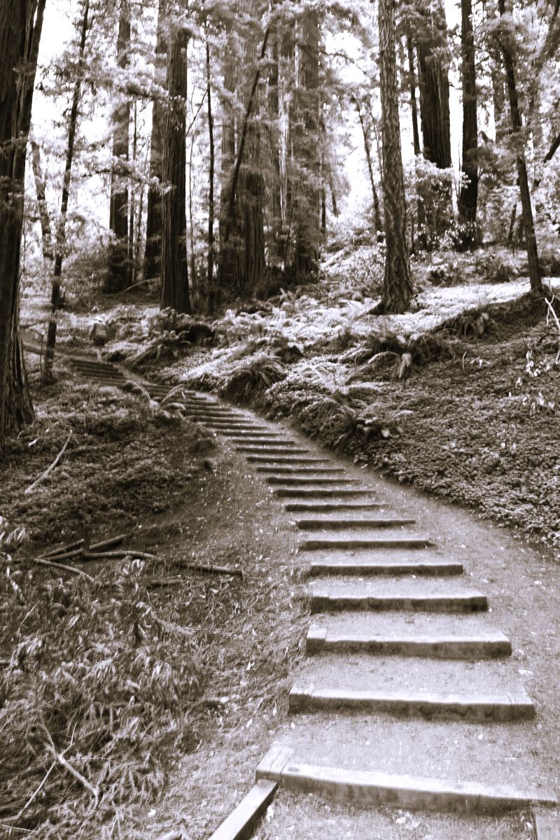
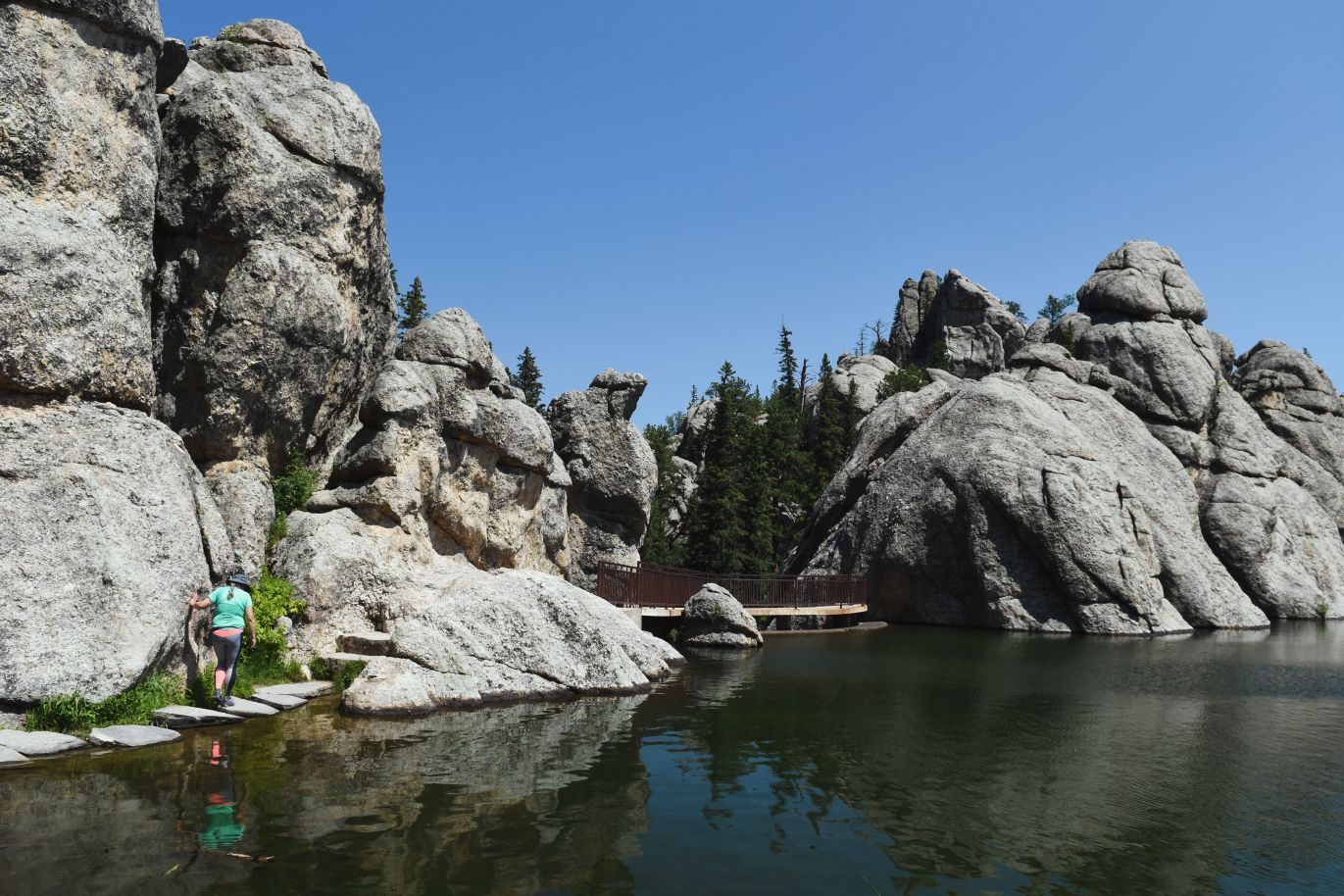
We finished the day with the very scenic hike/walk around Sylvan Lake.

This is a very accessible spot and looks to be a great swimming hole…..but by the time we had done the other trail and explored the Needles highway it was late in the day and very busy. There was even a wedding party taking their shots on the lakeshore, spectacular back drop.

As many people as there are on the beaches….surprisingly few were on the hike around the lake. (it’s only a couple of kilometers)

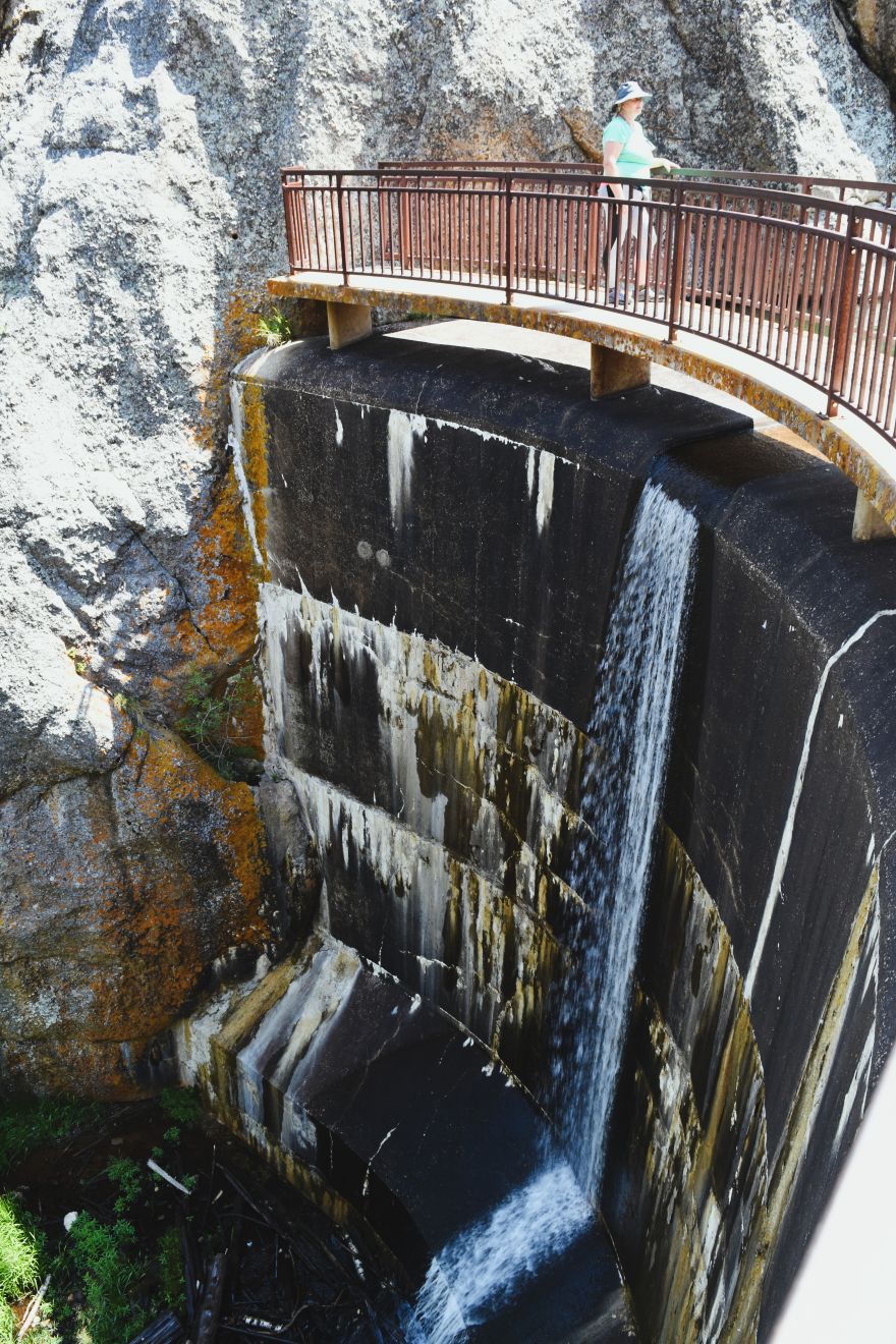
Hidden behind the big rocks is the dam that holds the lake…the dam was built in 1819…..and quickly turned the area into a popular tourist spot…..and it is beautiful.

….and there were all these little fishies in the water…..!!!!

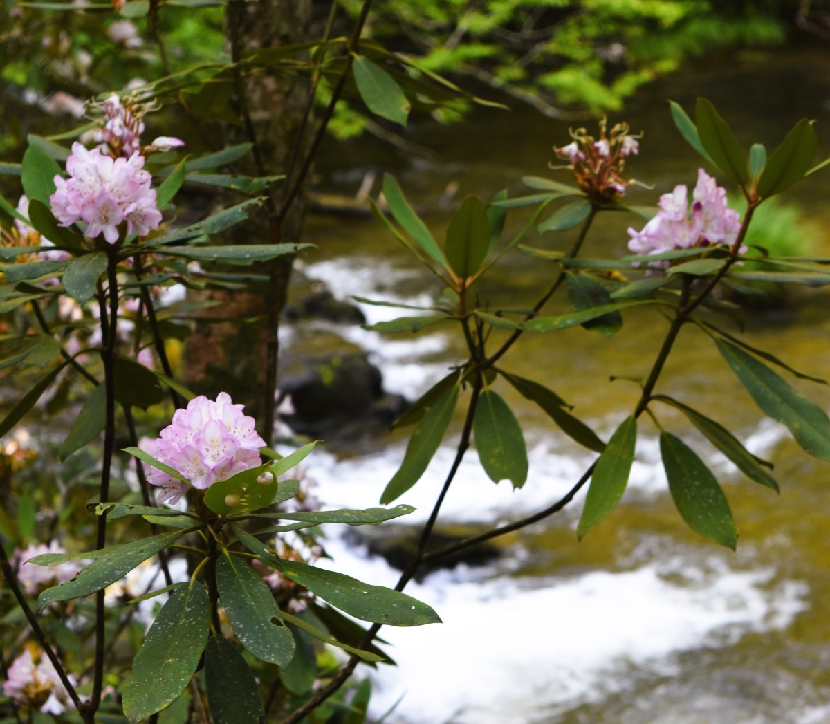
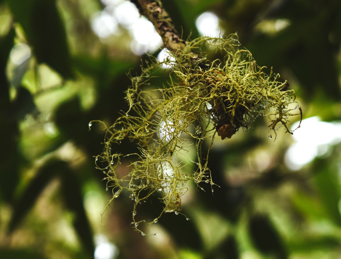
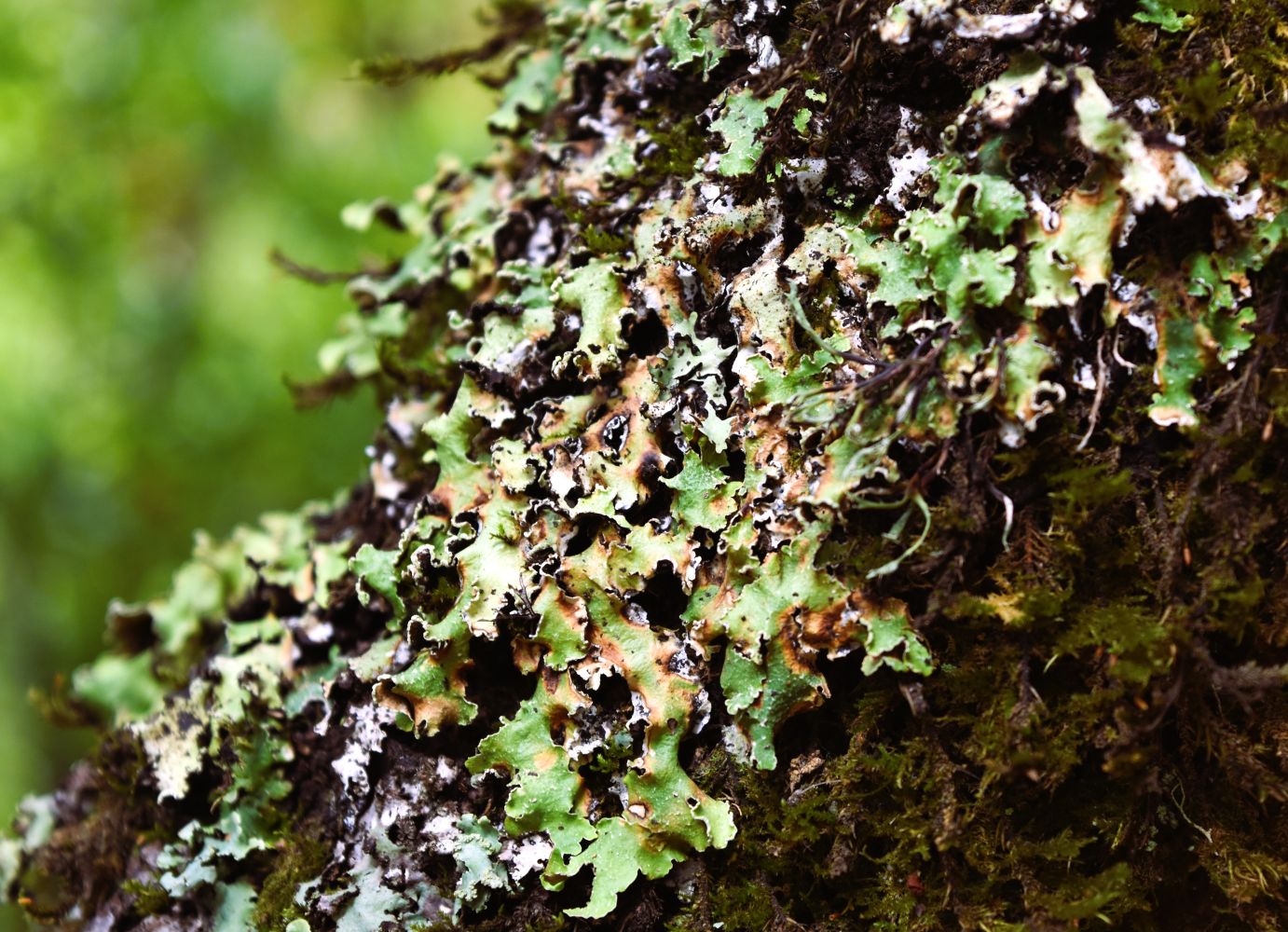
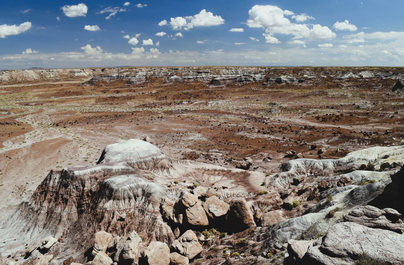
I had intended just a little stroll as we had been here before and the rock formations per the Black Hills are extraordinary (it’s like all those fake styrofoam rocks from the original 1960’s Star Trek episodes….except they are real….!!!) and turned out to be a much nicer walk than I had expected…..
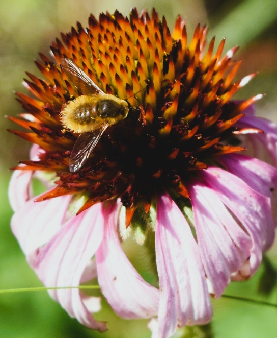
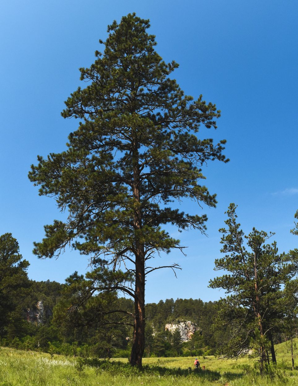
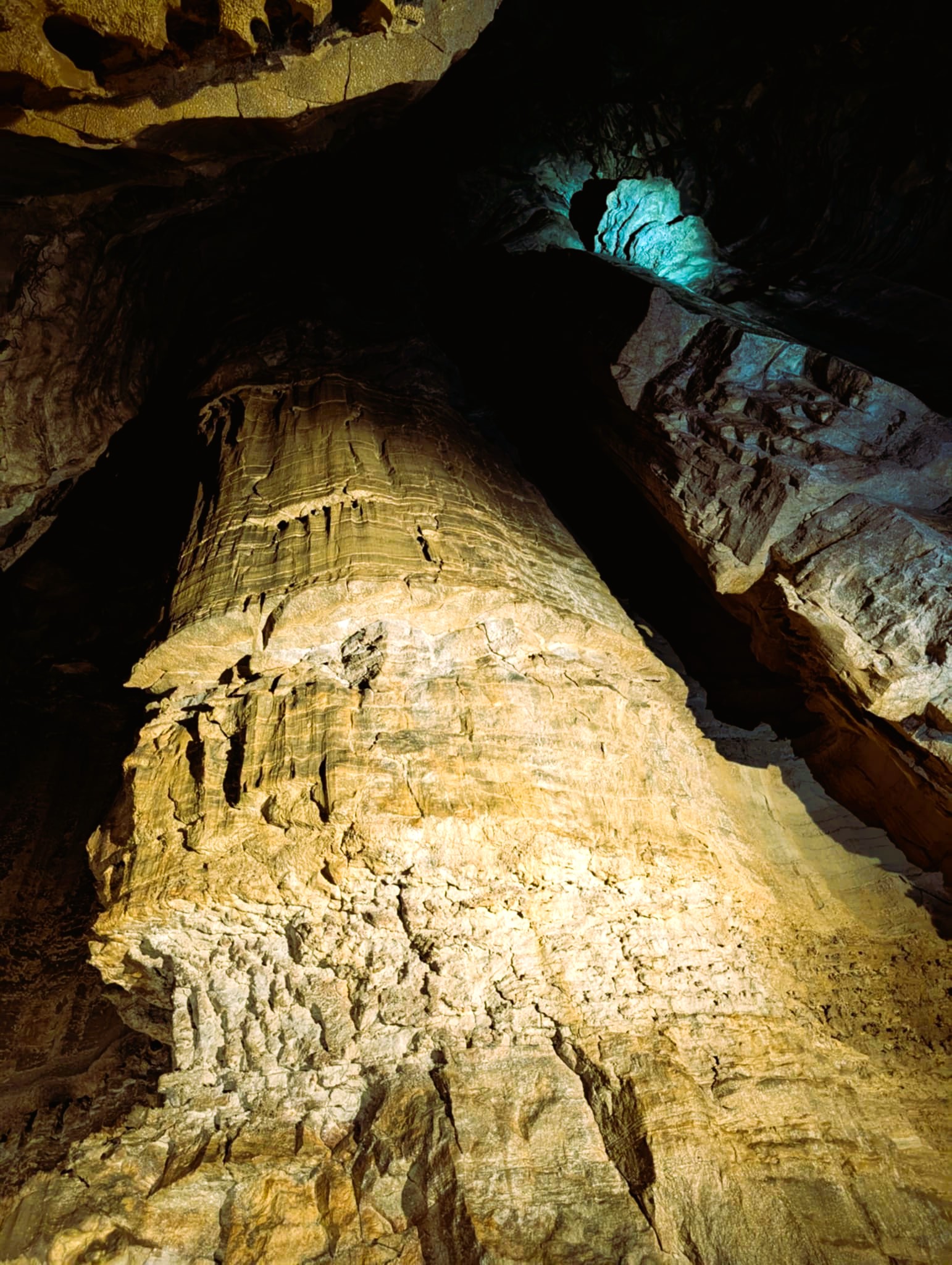
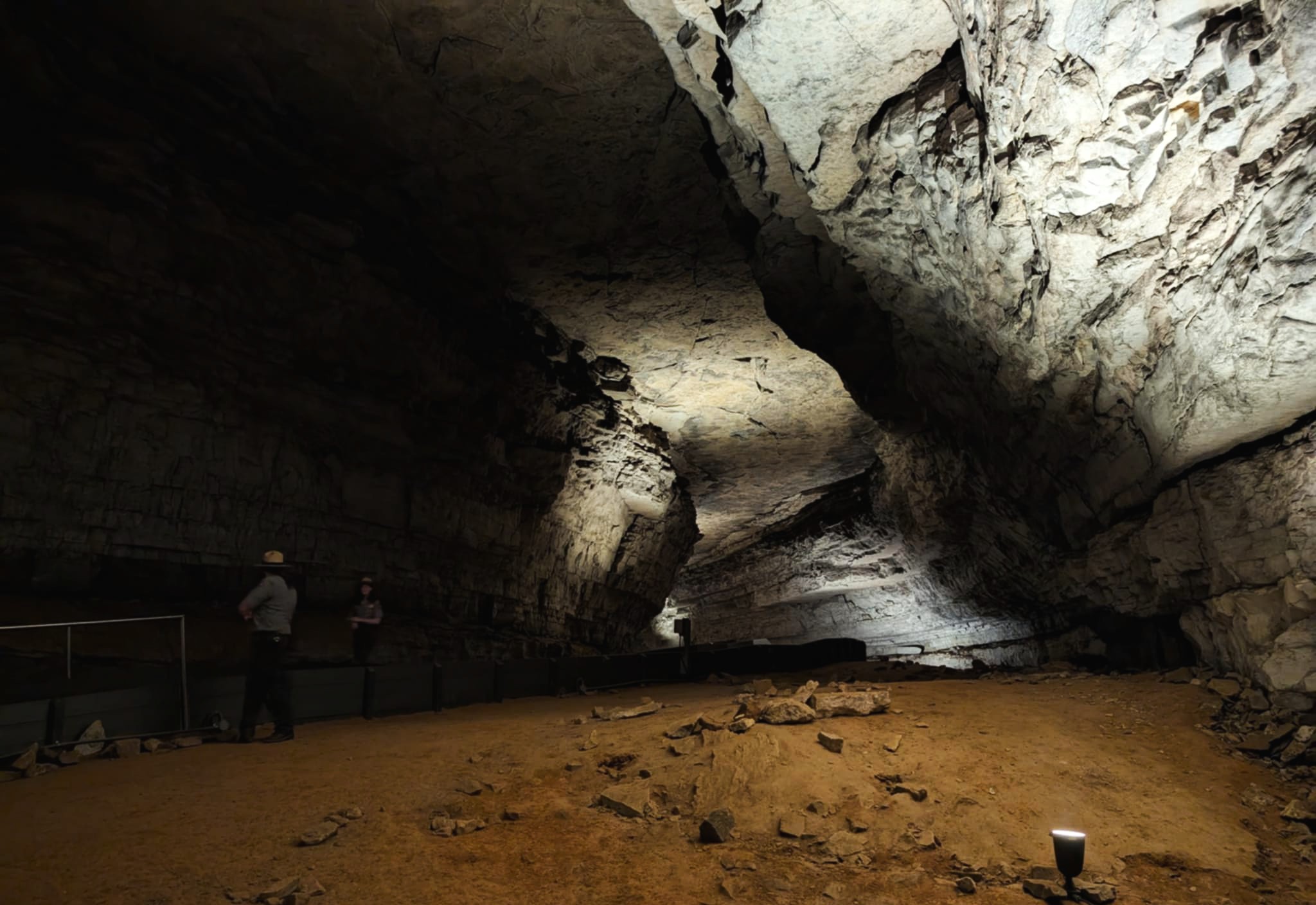
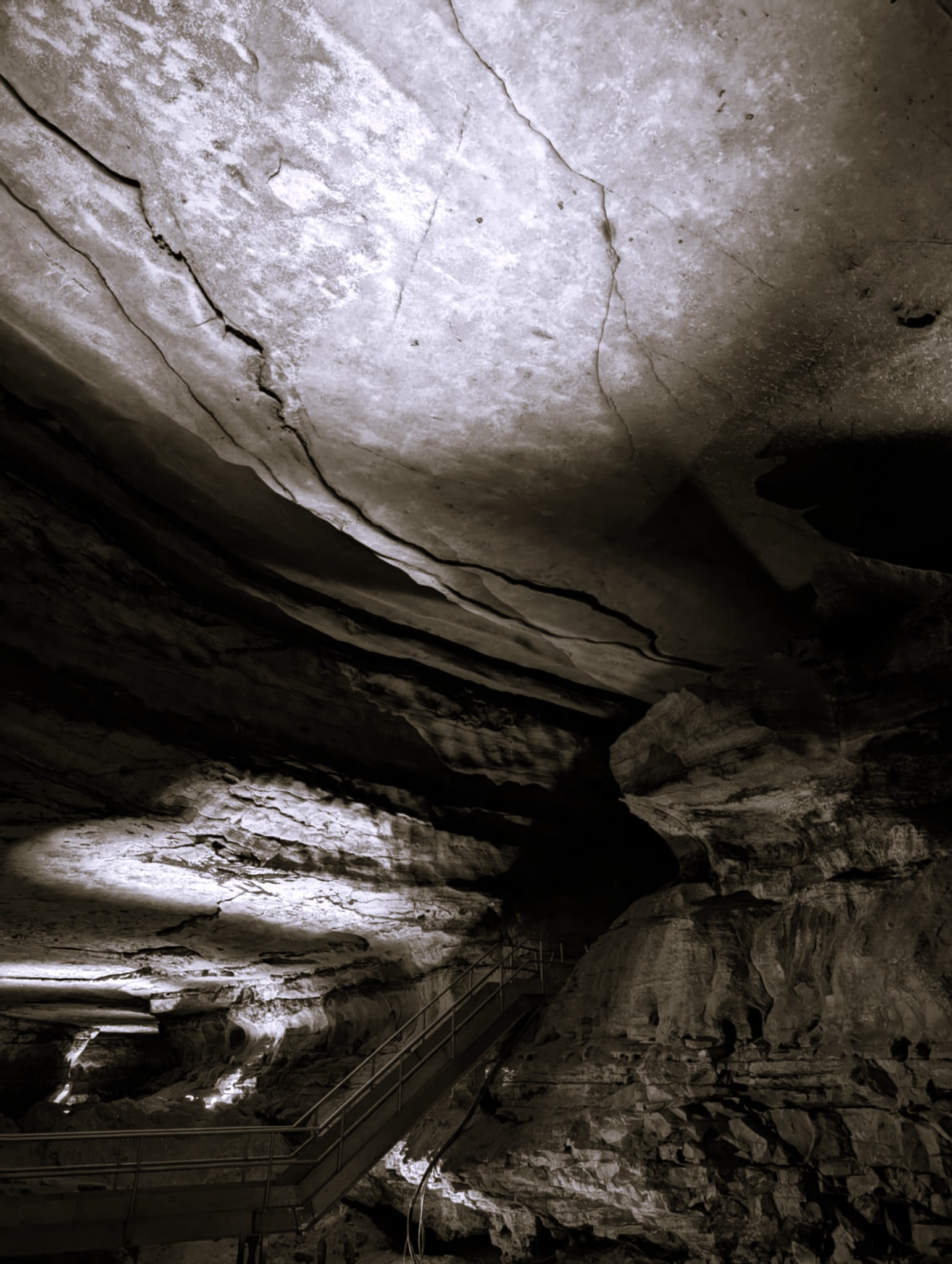
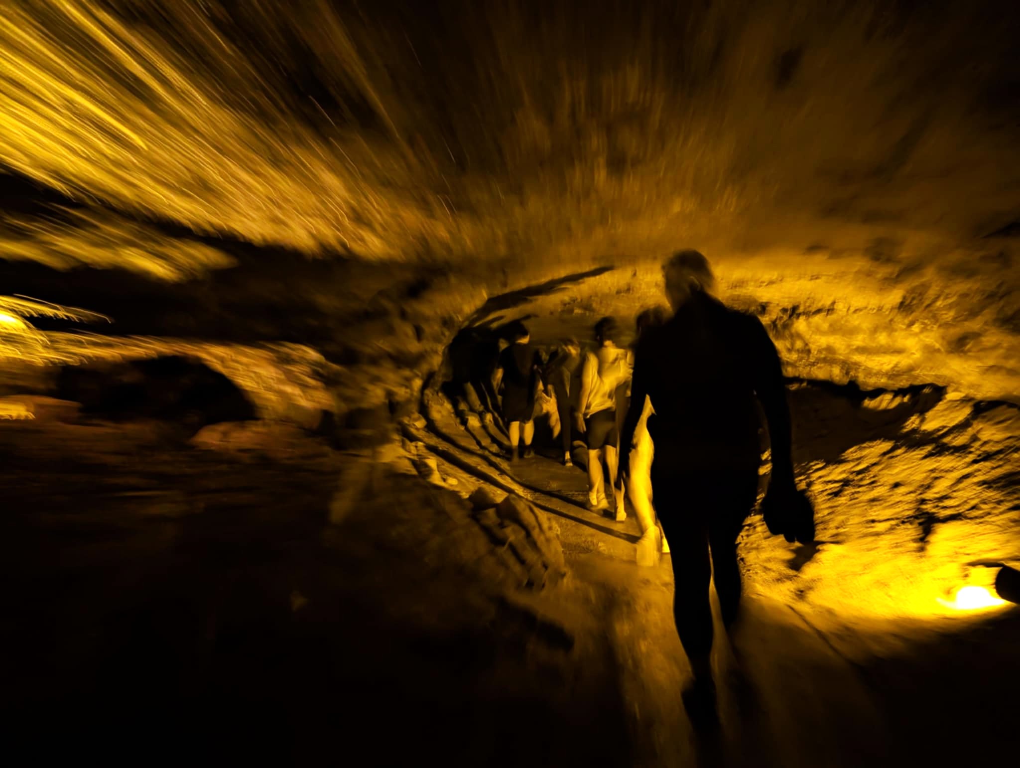
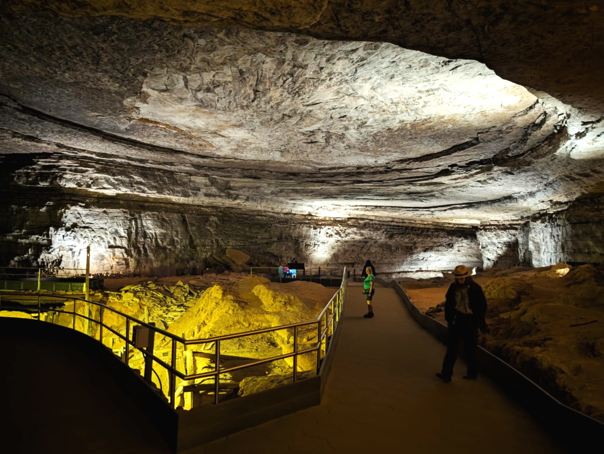
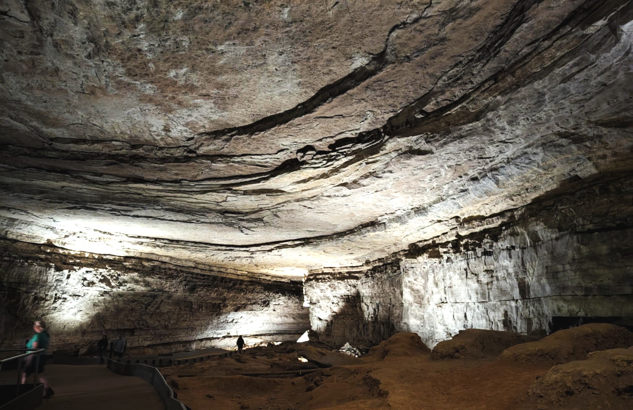
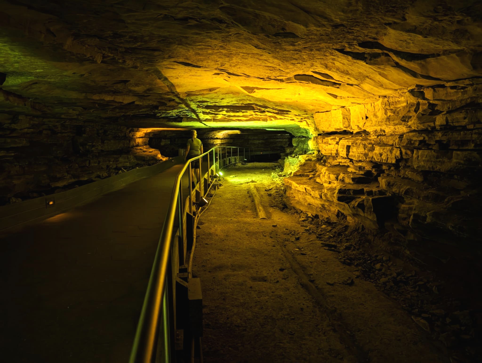
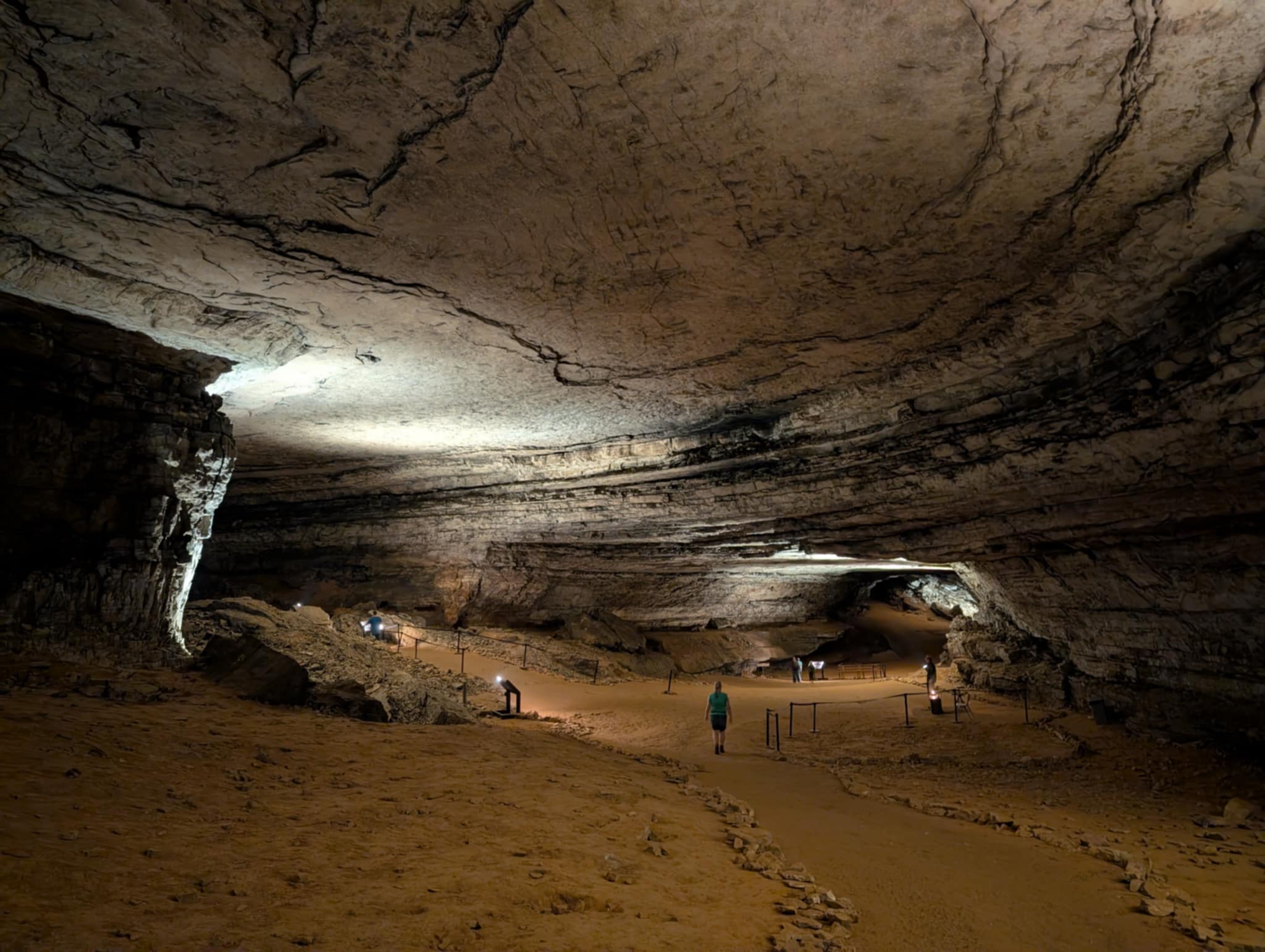
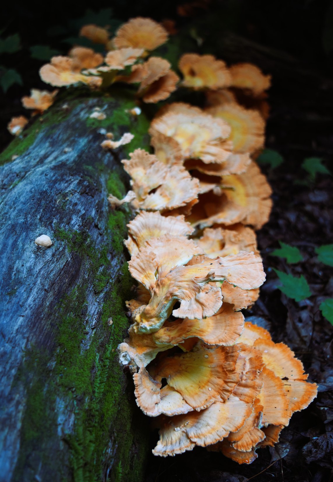
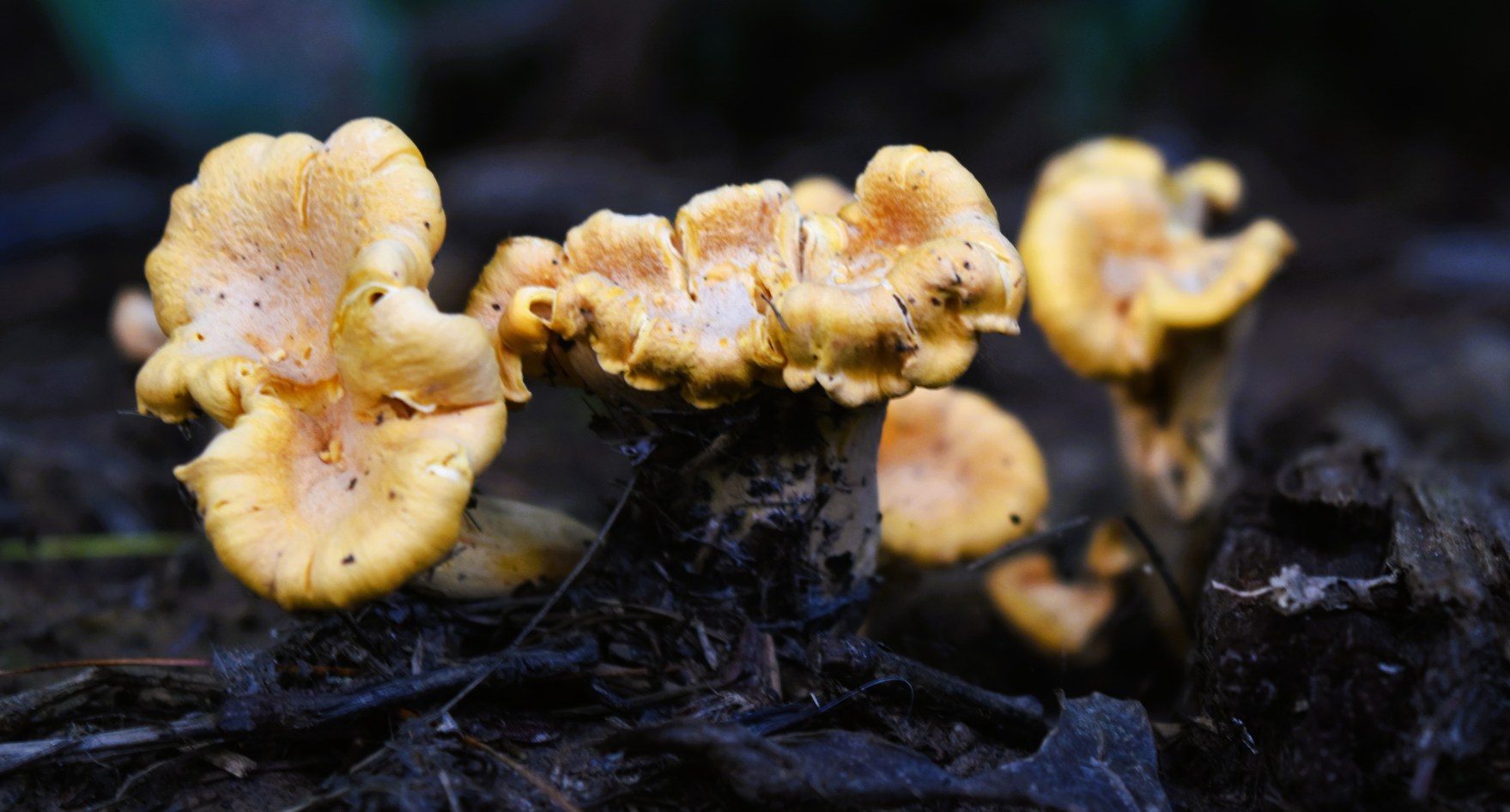
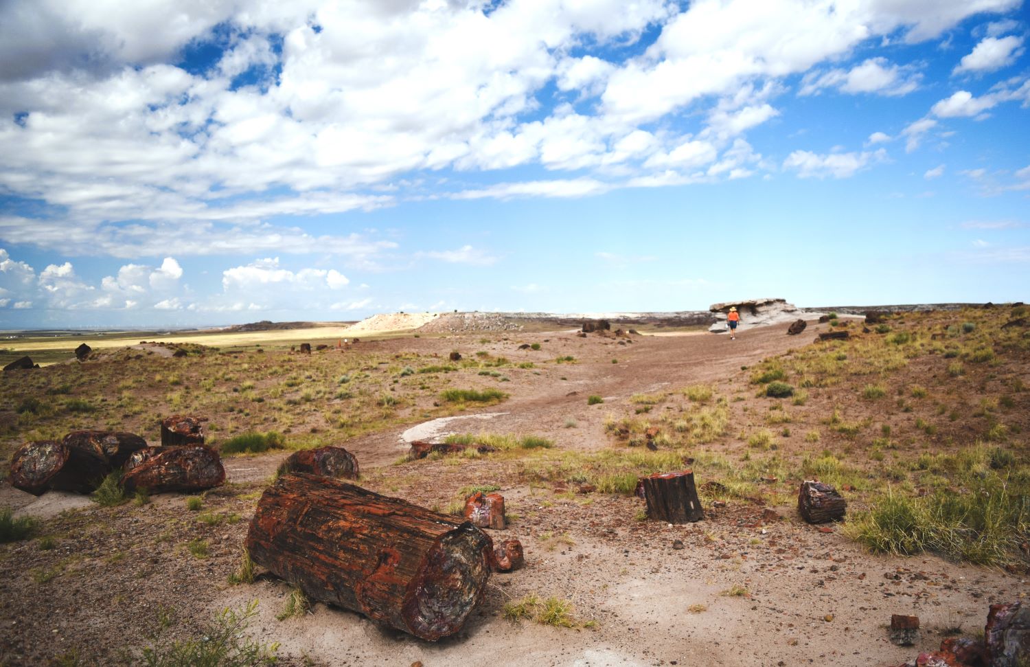
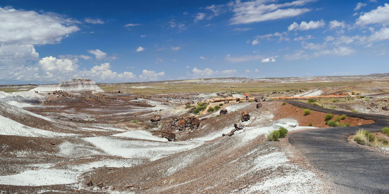
Extra Pix

A close shave and a lone bull.

On our last visit to Custer SD….we had happened on the local barbershop, enticingly named ‘ A Dudes Place“, on the main street. It sparked a discussion about traditional wet shaves ( a service offered by this local barber) …after a bit of thought …….. Scott decided to give it a go……unfortunately we arrived too late in the day….and it had been our last day there

This time…..we got in ahead of the game. It’s a walk-in place….so in we walked and waited for the barber to finish the haircut before us.

The result was impressively smooth…and reportedly very comfortable. Would he do it again…….he did say yes….!!!! (Editor. It was a remarkably relaxing experience, I’d recommend it)

After the underground walk with the cave tour….we needed a proper hike to get the legs moving….and to get out there on the high plains and observe some local wildlife…..bison (at a distance…!!) and the prairie dogs (closer up..!!!)

It was hot so it needed to be a reasonably tame hike and we were looking for one not done before….Alltrails gave us the Lookout Point Trail

The Trailhead for this one (in Wind Caves National Park) was a lovely shaded spot….which was fortunate as it was a very warm day. We set out early to try to get ahead of the sun.

Most of the trails in Wind Caves National Park are very exposed, with these mostly treeless high plains covered with prairie grasses and prairie dog towns.

The trail itself was not entirely clear to begin with and I was mostly navigating with my phone and the Alltrails digital map.

Once we found the familiar marker posts (the ones bison had not pushed over…!!!) the trail became clearer.

Wind Caves National Park is at just over 5,000 feet above sea level…..it’s hard to imagine as you look at the prairie stretched out in front of you. In July with the heat….it really does feel like you are quite a bit closer to the sun.

Although quite a bit greener this year than any of our previous visits…..like most of central north America there has been quite a bit more rain than usual this year.

The trees up ahead were very welcome for a bit of relief from the beating sun. (If you have a look…I am actually in all of these pictures……that’s how BIG this place is)

After a stop for a bit of shade and some rehydration……the path led down through one of the prairie dog towns……..

…….always entertaining…they get so indignant when you walk through…LOL. ….and the babies are so stinking cute…!!!

To illustrate the scale of the prairie……can you spot me?….second picture with arrow if you can’t…!!!

About the midway point the path did take us through an area we had been in before… thankfully into a shaded portion of the trail…

A familiar portion of the path…but green and lush with wildflowers….

….and then as I turned the corner……what did I see….?

A large bull bison….standing looking at me………

…and closer than I would like to have been to a lone bull.

I hesitated !!!!

Another couple of tourists appeared behind us….walking at quite the clip (well he was……she was toddling along behind…!!) They passed us as I was plucking up the courage to pass this giant bull .

He turned around a couple of times and flumped down in the grass….

The lady tourist stopped in front of him and started snapping multiple pictures with her phone…stepping off the path and moving closer.

I seized my opportunity and sped along and past her (at this point I only had to run faster than her….and she was presenting herself quite well as a target if Mr Bison decided to be annoyed…)

My blogtographer laughed his blooming head off at my wussiness and sauntered along behind to capture the images of me actually getting close to the beast……(Editor. I have waited many years to capture her ladyship and a bison in the same frame.)

The two tourists disappeared as quickly as they had appeared…and again we were alone (no more bison either…!!)

Its a lovely path….but by now we were definitely fading a little in the relentless heat.

I was glad we chose to do this one counter clockwise so that the shaded parts were in the latter half.

The last gasp as the end of the trail is up in those yonder trees…..

That last little uphill was, for me anyway, challenging to make my legs keep going….

Other than wandering through the prairie dog towns with the little guys barking and shouting….as they do….that one bison was our only encounter.

It was around a 7km hike …but long enough with the heat and lack of shade…..but always a pleasure to be out there.

Extra Pix

Heading for home and a bit of wind….!!

John James Audubon State park totally lived up to expectations…what a beautiful place……but now….having reached the northwest corner of Kentucky and with a quick jump into Indiana, the journey home became a bit more earnest.

Our State Park stops in Kentucky and Tennessee had been such lovely experiences that I mapped out a few more for our journey west.

As we hit the highway we noticed that we were carrying a passenger……he(she?) valiantly held onto the hood for most of the journey.

When we stopped for gas he was nowhere to be seen …. I admit I was a little sad….!!!

Our first stop was an overnight in Finger Lakes state park Missouri. We made the mistake of taking I-70 to get there…..a very busy and desperately in need of resurfacing Interstate…..not the best for towing a trailer.(or transporting a stowaway..!!)

But the park was no disappointment.

And to my delight our little stowaway had moved back behind the cab for a better ride…he reappeared as we were setting up.

I checked to make sure katydids were also present in Missouri and found him a nice bush to settle in. I hope he is happy in his new home…

Back to the journey and an upside of a slight northward jog to get to this lovely state park was that the next part of the drive was on smaller and better roads…

Next stop Lake Manawa State Park in Iowa. It’s almost on the southeast corner of Omaha Nebraska and you can see the city not too far in the distance.

Lake Manawa was another lovely campground……and the sunset was truly spectacular….

Our next days driving took us into South Dakota….I was not finding any state parks in a convenient location so I picked a campground that was about the midpoint between Lake Manawa and our destination for a few days in Custer South Dakota.

As we pulled in we were the only trailer in the grounds….nicely laid out sites with shade trees…..and some interesting old tractors by our site.

A few more trailers pulled in through the evening…..and then a huge storm hit us overnight.

In the early hours of the morning the thunder and lightning was almost directly overhead and then a strike…and we lost power. As we drove out we were surprised to see one of the trees at the other end of the campground had met its demise (it was quite the storm…!!…..and the cat was not a big fan of the storm either)

Back to a familiar stomping ground in Custer, South Dakota…and a favourite campground at Broken Arrow Horsecamp. This would be our 4th time in this campground, it’s far enough from town to be quiet yet central for all the amazing sights and sites of the Black Hills area.

Although we have hiked many times within the park, the cave tour at Wind Caves National Park was a box yet to be ticked. We had never been enthused by the thought….but based on the surprising success of Mammoth Cave...and previously Jewel Cave National Monument…we decided it was worth a shot.

I would have to say…it was not as scary as I might have previously thought….and it was interesting…..but a pale shadow of the Mammoth Cave experience. The rock formations were varied and impressive but the scale of Mammoth was on another level.

There are some fantastic rock and mineral formations….

….and as always….the rangers were superb.

I guess that’s us done with cave tours…we will stick to the high plains hikes and bison sightings.

Back to Kentucky 2 ….One Mammoth step ahead of claustrophobia.

We arrived at Mammoth Cave National Park with no real expectations, but it was much busier than we predicted with no tickets left for the Historic Tour on the first day we were there…so we booked what we could…which was the last slot in the afternoon of the following day. Although not terribly convenient for us, it’s great to see these sites being well appreciated.

The self guided tour has less restriction on numbers so we did it as a ‘taster’ for the ranger led tour. It turned out to be a quite magnificent experience and left us quite excited for the next day.

We took the opportunity in the morning for the Green River Bluffs above ground hike…..then munched our packed lunches and headed for the gathering point.

Really lucked out with this tour selection (being the end of the day) as there was a much smaller than usual number of people (37 instead of 110).

There was a list of dire warnings from the rangers to not go in if you had heart conditions, breathing issues, claustrophobia, fear of heights etc. Honestly…they keep you moving at a steady pace as there’s a lot of terrain to cover and the whole thing is so darn fascinating that you kinda forget how far underground you are…..

The lead Ranger stopped at this historic point to show us the ‘pictures’ on the ceiling….

There are coloured mineral patches on the ceiling that look like bears, and a grim reaper….

Maybe you have to actually be there to see it……but apparently this has been part of the tourist presentation since the very first tours in the cave back in 1816.

You really can see some pretty awesome scenes in the ‘pictures’….but maybe its a bit like staring at clouds and seeing balloon animals…LOL

The pace continues through the cave….one Ranger in the lead and one as the caboose making sure no one is left behind……we were hanging back at the rear to try to take some pictures without the whole group in them….

Deep into the cave there is lots of 1800’s graffiti. Names and dates of often slaves who were some of the first tour guides. They daubed the letters using soot from tallow candles. It’s remarkably neat.

The bottomless chasm……there is (thankfully) a rail….no I did not look down…!!!

The way they described the next part of the cave….fat mans misery…..an hourglass shaped channel through the rock…..

I was dreading just how narrow it might be…..other than the rock being a bit slimy…..it wasn’t that bad…!!!

Then ‘tall mans agony’…..a challenge on the neck creeping through…..This is where I’d expect claustrophobia to catch up with us, but you’re moving along at such a clip I think we were staying just ahead of it.

At the lowest point that the tour goes to…86M/263ft…there is a big chamber that is one of the places that fills with water after stormy weather…..the recorded flood levels had reached record highs a couple of times this year……again….it was a place you had to be standing in to really appreciate how impressive the thought of it being filled with flood water…!!!

Then we started climbing again….

to ‘the fire tower’…the rock formations here were massive…..these cone shaped vertical channels look like something out of a sci-fi movie……and the 270 stairs up had a real ‘Batman Begins’ look to them

… the long ascent up these wet and slimy (and numerous..!!) stairs….

I have to say it was almost disappointing to come to the end….it sure did not feel like 2 hours down there……

The Rangers do a great job……the lead Ranger explained at the end that they pass the stories and the histories down largely by word of mouth…the intent being to keep this Historic tour as authentic to the origins of the Mammoth tourist experince as they can.

I am still blown away by how much I/we enjoyed this experience. What started as a ‘push the comfort zone’ turned out to be a ‘so glad I did that’ life experience.

Extra Pix

Back to Kentucky, Mammoth Cave National Park.

Continuing north and beginning the travel westward (towards home) took us back through Kentucky, but this time on the west side of the state. We had bypassed Mammoth Cave National Park on the journey south…so we took the opportunity to visit on the return northward. As I searched the campgrounds around the area , and found a Boondockers Welcome site just 15 minutes from the park gate…… Ideal.!!

This BW host had power and water available…bonus in the warm, humid July weather in Kentucky.

Mammoth Cave NP, despite its proximity to The Great Smoky Mountains (the US’s most visited park) is one of the least visited parks. I’m not sure why….we found it to be a fabulous place to visit.

On our first trip in to the park we booked tickets to do the self guided tour into the first part the Mammoth cave system. Being a bit on the claustrophobic side, I was expecting this to be slightly challenging…….but no……. Mammoth Cave is just that….mammoth….!!! Going down the steps into the cave you transition from that warm humid air of the surrounding forest….. quickly into the cool 54F (12C) of the cave.

After moving through the security gates at the entrance, the cave quickly opens up into the Rotunda, a chamber that feels like a huge ballroom. The dome of the chamber looks like a carefully crafted coffered ceiling.

There is a bit of an adjustment to the low light and a realisation that a flashlight would have been a good thing to bring.

At the far end of the area available for this self guided tour we met and chatted with a young and enthusiastic ranger who had many stories and insights into the history of the cave.

Like much of Kentucky and Tennessee, the cave has its own history of enslavement. It was a rich source of saltpeter during the War of 1812 when slaves were utilised to extract the minerals to feed the war machine. (NB. The Revolutionary war ended in 1783 and resulted in the Declaration of independence of the United States from British rule. The War of 1812 was about establishing Maritime rights and resolving trade restrictions imposed by the British fleet hence requiring a domestic source of gunpowder ingredients…!!!)

Mammoth Cave is the longest cave system in the world…..with much of it still unexplored. The whole system has been formed by water seeping down through the limestone layers…….the architecture of the walls and ceiling are a testament to the power of water and time.

On our way back out we were fortunate to meet up with the young ranger again as he shared more stories and pointed out some of the relics found in the cave from its pre 18th century history.

We were quite enthralled by the cave….so the plan for the next day was to find an above ground hike for the morning and then follow the Historic Tour underground in the afternoon.

The Green Bluffs Trail.

Green Bluffs trail was the overground choice. We packed a lunch and a change of clothes. (It was a very warm and very humid day……this part of the world seems to experience sudden short thunderstorms with impressive….but thankfully short downpours)

….and set off on the trail.

The trail follows a high path above the Green River, luckily in shade most of the way.

The trail weaves back down to the river…….we followed the boardwalk out of curiosity and found that it led to the outflow river from the cave itself….

Continuing on the path which was not the most challenging we have ever done….but definitely as hard as one wanted to be working in the humidity.

Beautiful trail….strangely no bugs…!!! (not complaining)…then a bit of a diversion as they were constructing boardwalks on part of the trail.

We found one of the strangest….and coolest fungi I have seen on our travels……

….and much evidence that the river has seen very large volumes of water recently. The ford and boat launch were closed and you could see how high the muddy waters had flowed recently.

Due to the harvesting of the early settlers, the native trees of the area have been largely replaced by maples which were considered low quality lumber…..so were not harvested thereby reseeding and becoming the dominant tree species…..

a very beautiful morning…..but now we were ready for the cool cave in the afternoon…….after a sandwich and a lot of re-hydrating.

Extra Pix

Tennessee 1. Great Smoky Mountains….Abrams Falls Trail.

We were close enough to the Great Smoky Mountains National Park, the most visited of all the U.S National Parks, that it became our next ‘must see’ stop. Leaving Corbin and headed to Knoxville Tennessee on the I-75 South is a journey not to be taken lightly. Its not that far ..but the road is mountainous and pot hole ridden…indeed the pot holes had pot holes……and in two lane steady traffic it coaxed a few interesting words and phrases from the lips of the driver –

I selected a campground that seemed close enough but not hauling the trailer up some of the trickier mountain loops. Hindsight being 20/20…the road across the Appalachians to get to Knoxville was scary and the road from there up to the park was actually not that bad…!!!

My campground selection turned out to be not the greatest either…..our site was at the bottom of a hill…with a rough gravel uphill corner to get us back out. Visions were forming of the back end of the trailer scraping its way back up the hill ( Argh..!!)

But we were in…and there was power to run the very necessary AC as the daytime temps were 34-35 degrees C (93-95F)plus humidity ….not baking the cat alive being the priority.

All the trail reviews tell you to get in early as Great Smoky Mountain National Park is busy and has limited parking. We were up (well the coffee making guy was up) before 5am to leave by 5.30 am to be at the parking area before 7.

The main gate into the park opens at 6.30am and we were there by 10 after…..with a queue of around 20 cars in front of us. The best part of the day in almost any National Park is first thing in the morning and all those people in the queue had also played this game before.

Entering the park you drive along Cades Cove Loop road. It is a single track, one way (paved) road through the forest with some quite lovely views of the mountains living up to their name with that morning hazy, smoky look.

The drive is lovely….but slow. With no opportunity for passing and the line of traffic slowly crawling, taking in the breathtaking landscape…and ALWAYS stopping for every deer, turkey or bear sighted along the way.

Our first pick for a trail to hike was Abrams Falls and we were the first car in to the parking at 6.50 am….boots on, water bottles at the ready, Alltrails tracking…off we went.

Right from the start…at the first bridge there were dire warning signs posted….

We were not planning on entering the water…!!! ( Editor. Well that’s not strictly true)

It was good timing with the cooler air at this early hour on a mostly uphill trek on the outbound leg of this hike.

As a non-fan of heights and little tree trunk bridges I was slightly dismayed at the numerous little balance beams and relieved by presence the handrails.

Each and every one has a sign to point out how many people have been injured slipping on them…!!!!

One of the upsides of the popularity of this park was how nicely finished the trail reinforcements were….it’s the only place I have seen the structures built this way to accommodate the water flowing through.

It was a lovely path to walk with some spectacular fungi and intermitent views of the river to keep us entertained….

Yet another warning of impending doom…and then the flight of stairs down to the falls…..which were treacherously wet and slippery

Our early bird strategy worked, we had the falls to ourselves…….

……with enough time for the blogtographer to clamber about on the rocks for some terrific images before the next hiker arrived. (Editor. I can confirm the water looked very inviting, and would have been even more so as the temperature climbed later in the day)

(if you click on the images…see if you can find where he got himself to…!!!)

The route back……

I counted 70 people passing us, heading to the falls as we headed down…….

….but as you can see the blogtographer ‘missed’ them all…!!!

…definitely worth hoisting out of bed early to miss the crowd.

From the parking area to the exit of the park, the road continues in a long (single lane) winding, scenic loop around Cades Cove. The posted limit is 10mph…..a pace I can only imagine has never even been approached b/c of the number of cars slow rolling along the route in anticipation of sightings of bear, deer, elk or trees…..and that’s not a complaint….it’s a place that totally deserves that slow appreciative pace…..

Extra Pix

2024 Route 66 Adventure. The Road home.

It was late July and had been a long journey to finally arrive in California. As we were making plans for the journey north and back to Alberta there were many possibilities of sights to take in on the 2200km journey home (It seemed like the whole route 66 trip took us in an arc where we were always 2200km from home…LOL)…..but…we had reached the point where, after around 15,000km, we just wanted to go home.

Between us and home was a long haul up the impressive grades of Mount Shasta..again and then up through Oregon to a very lovely stop on the banks of the MASSIVE Colombia River, Umatilla…..

There is a small municipal campground at the marina on the river bank, just below the bridge across to Washington State.

We were treated to a lovely sunset on the river and some very friendly fellow campers…….(super clean showers and lots of hot water……that’s important y’know..!!)

We had some plans for a stop again before Montana….but this time when we hit the road……..we just kept going and a 12 hour drive across the more mountainous part of Montana rewarded us with a return to bricks and mortar…. a shower and bed at home.

Don’t get me wrong…we love the trailer and the travel….but it was time.

The Route 66 adventure was officially done.

Once home……time for a little reflection on the trip.

We met some great people along the way, had some spectacular boondocking sites in from the farm we stopped at in Michigan to the superb folks that invited us to the Memorial day party outside Chicago, Tulsa, Oklahoma city….you folks know who you are……

We met a Copperhead snake in a Thunderstorm, and a big Diamondback rattler in New Mexico. Had some great food, had a long list of repairs along the road…from water tanks to air conditioners to fuel pumps….

…many mishaps that could have been way worse….but always reliable, friendly people who went above and beyond. We thank you.

Favourite things.

From the very beginning of this epic journey many things went ‘not according to plan’…..from the scaffolding around ‘The Bean’…..and the memorial Day parade that blocked us from getting to the Frank Lloyd Wright workshop tour, which led us unexpectedly to the birthplace of Hemingway Museum…

But it did not dampen the mood as we were actually there…..the start point of Historic Route 66.

It did highlight the complication of navigating the old road across modern times.

We were over-awed with the murals, the giants, the crumbling signage and abandoned and dilapidated buildings that marked the rise and following redundancy of the road that changed everything

Crossing into Missouri and the Gateway Arch (actually going up inside to the viewing platform..!!) was a highlight.

Missouri offered some great little treasures

the discovery of frozen custard for one….!!!

……. ending in Joplin, Missouri to take one of our first big side trips to Crystal Bridges, Arkansas.

The other ‘must see’ impressive(and unexpected) sights from thr Joplin stop was Red Oak II

Reading the books and searching the internet barely prepares you for the real enthusiasm people have for this snapshot in modern American history. Crazy legs Dean Walker in the visitor centre as we cut the corner of Kansas was the epitome of this. So many communities rely on this long tarmac ribbon for their tourism economies, they really embrace it.

Tulsa was the best strip of surviving neon….and the first slow roll drive to accommodate the intrepid blogtographer…..(and Tulsa had fraozen custard too…!!)

Oklahoma city and the bomb memorial…cowboy museum and the red barn

Texas and Amarillo yielded our least favourite campground, and the most disappointing attraction of the route….the Cadillac Ranch was such a let down, muddy and covered with litter. Amarillo itself had fabulous Mexican food…Oh….and the big Texan….

Crossing Texas we passed the midpoint in Adrian, TX and made our way to Tucumcari, which had one of our very favourite moments with Mariachi Elvis. It also is the source of the Radiator mountain in the Pixar Classic, Cars

The good fortune to arrive in Tucumcari for the ONLY event that happens in that town for the year……bonus being Mariachi Elvis.

Entering New Mexico is the point where the history changes from being the evolution of Route 66 from 1926, to a much more ancient history. We absolutely loved New Mexico from Santa Fe up in the mountains, the petroglyph cliff,

Albuquerque catching a Lyle Lovett concert and wandering the ‘Old Town’, bumping into the ‘Breaking Bad’ connections,

the guys at the Wheels Museum.………….

…..to the Lava fields and Sandstone Bluffs of El Malpais National monument. (and the bat outflight….that was a great moment…!!)

…and then catching up with Hemingway again in Villa de Cubero

Arizona continued with the same ancient history ……the Petrified Forest, Walnut Canyon and its adjoining monuments, and then a bit of more modern history making with the iconic ‘corner’ in Winslow Arizona ( got you singing it again….LOL)

In Arizona we stopped in Kingman, another part of the Cars inspiration. From there we did the fabulous loop up through Oatman to wrestle with some donkeys…!!!..it truly is another world up there.

..and doubled back up the road for lunch at the Roadkill Cafe in Seligman

The last stop was in boiling Barstow with a few more surprises on the historic quest……Scott was very taken with the burned down hotel…..

….and ….of course…that last drive in to Santa Monica pier at 5.15am for the sunrise….and the end of ‘The Road’

….and so this particular story is complete. It was a blast….I have no earthly idea how anyone does this route in two weeks….but thats the way the plan on the official Route 66 map lays it out. We were exhausted……fulfilled to overflowing but exhausted…..with many more tales I just couldn’t include them all, but next we meet in person, we’ll have stories to tell.

Muir Woods. Another Planet (No Apes..!!)

As I have said before, the list of things to see/places to go from this very central point of California….is long.

On this day the pick was the Muir Woods National Monument. ,one of the last remaining Pacific Coast ancient redwood forests sitting just across the bay from the big city of San Francisco….and a step across the threshold into wilderness. Named for John Muir, an interesting Scottish fellow who along with Roosevelt was instrumental in the creation of the National Park Service in 1916.

Muir Woods is the setting for the new habitat for the Apes in the Planet of the Apes reboot……but the movies were actually filmed in the Redwoods outside Vancouver …and not here.

The proximity to the city makes it a popular spot…so the mechanism used to control the flow of people….is that you have to book your parking spot in the park online in advance, not many spots hence not many people. Pretty clever really.

We had picked a very early slot to try and beat the commuter traffic headed to the city. This tactic scored us a plum parking spot mere yards from the visitor centre.

The road up to the park gate is not for the feint of heart…..certainly not with any kind of trailer…..the truck barely made it round some of those corners. It’s a residential zone with driveways I can only describe as terrifying. (Steep and barely off the very narrow twisty road)

From the access road back down into the valley where the parking area and visitor centre is located….is just as terrifying. Sharp switchbacks down a sheer drop. Once you reach the gate multiple cars were being turned around as they had not secured their advance parking pass. Strict enforcement protects the forest from overuse.

As you step out of the vehicle the size of the trees and the height of the canopy makes you feel like you have been miniaturised somewhere along the road.

…and that wonderful slightly dampish, cedar-y forest floor aroma belies how close you are to vast residential developments.

As always…I have to hit the visitor centre to add another National Park/monument/forest pin to my ever growing collection.

At the beginning of the trail there is a network of boardwalks making this immediate area very accessible.

The scale of these ancient trees is beyond my ability for meaningful description. It would not be a surprise to here that Jurassic Park thud thud of the brontosaurus strolling by.

The Canopy trail and up through Tamalpais peak was the trail pick today….

..following switchbacks up to the edge of the park for the canopy view.

My trusty blogtographer never misses an opportunity to catch me falling in water…or mud…..

At the top of the trail, the last switchbacks take you right to the edge of the park.

The view is atmospheric rather than spectacular as the sea fog sits on the trees.

We have done forest hikes before….but the Muir Woods have a different feel of ancientness.

There are many moments where you just have to stop …gaze upward at the trees and just breathe.

Its the same kind of feeling as standing by the ocean just breathing the air……

Extra Pix

Flagstaff part 2. The Mother Road Episode 26

The road from Sunset Crater up through Wupatki National Monument is not dissimilar to the road through the Petrified Forest and Painted Desert, one follows on from the other.

The first Pueblo, Wukoki Pueblo, is off down a side road….we were following a map provided by the visitor centre. As we turned into the little parking area it was quite a WOW moment seeing this incredible ancient building about a km from the parking.

It was a moment to hydrate, pull on the sunhat and stroll at a leisurely pace over to the Pueblo.

By this point in the day it was so hot, an older couple who had pulled in at the same time as us were debating whether they should walk out there at all.

It’s like an enormous ship marooned out in the middle of this desert landscape….no other man-made structure as far as you can see

Next stop is the Wupatki Visitor Centre…..with access to the largest Pueblo structures in the park through the visitor centre building

As you walk out the back of the building its another big WOW moment. This place is truly extraordinary

There are stairs down to the structures and a trail around them …and did I mention that it was sweltering hot…!!!

This site has blowholes and fissures where the air moves (as I understand it ) relative to the changes in the magma at the earths core. In traditional lore its Where Mother Earth’s breath is felt 

Time to leap back into the truck…crank the air conditioning and suck back yet another bottle of water….onward to the next pueblo.…Citadel.

Perhaps not as imposing as Wuptaki or Wukoki, but still quite impressive in its own right with 360 deg stunning views from the top

Our last stop for the day was Box Canyon... Another little development but this one showing more signs of the agriculture ….all very interesting.

By now we were late enough in the day that it was time to find shade. Phewff…

The last bit of Flagstaff was my slow roll drive down the main drag after dusk as my faithful blogtographer leapt in and out of the truck at intervals.

Flagstaff Neon.

Once we made it all the way into town, we discovered that we had landed in the middle of an art crawl evening. It made for a lovely stroll in the old downtown of Flagstaff.

Extra pix

The Petrified Forest and Painted Desert. The Mother Road Episode 24

After the fun little trips around here, the day was ripe for the National Park extravaganza. The Petrified Forest and the Painted Desert..two National Parks separated by Route 66. The weather was cooperating…having had a day of rain and coolness the day before, we figured an early start for the drive up through the parks was in order.

We headed for the south gate of the Petrified Forest. (There is only one road up through the parks.)It was the second National Monument designated by Roosevelt …and was switched to National Park status in 1961, a truly extraordinary place.

As you enter the park gate, almost immediately there are large chunks of tree trunk…..except they are agate and jasper.

The visitor centre is a lovely little vintage construction that really has not changed a whole lot since it was built in 1931.

I suspect that this is yet another of these places that the pictures just can’t convey just how incredible this landscape is.

They reckon these trees are 216 million years old……..now does that not just give you pause for thought…For context…..T-Rex is about 66 million years old.

When you stand next to these massive tree trunks, the bark, the knots, the rings in the cross-section don’t require any imagination to see them.

That and they are just …..beautiful…!!!

As we drove from the south gate north, there are designated lookout spots and walkways to allow you to grasp some concept of the landscape while minimising the erosion damage from the tourism that helps to support the parks.

…but looking beyond these incredible relics…..the vistas are breathtaking…

With the amount of iron rich rock laying on the surface I am astonished that the area was not stripped of minerals in the late 1800s when they were building the railroads……

Each lookout is yet another extraordinary vista which…if the signage is to be believed…has not changed much despite us humans…..!!

The shade structures at most of the lookout points were very welcome. This was not the hottest of days……it was only 34 Celsius (93F) but it’s so exposed that the sun is quite relentless.

This one was set up for viewing an agate bridge, a tree bridging the creek….it had been shored up by concrete to try and preserve it in the early 1900’s

The Blue Mesa Trail…this was a steep walk/climb down following a paved trail….it was like a moonscape down there…..and the heat was oppressive. I’m glad it was only 34C….!!! This badlands area is striped purple…. and it really is purple.

Newspaper rock..….an ancient spot for petroglyphs…..these pictures were taken with the long lens as you can’t get close to them for fear of vandalism.

The Peurco pueblo is a 1200 year old village remnant which demonstrates a very sophisticated social and agricultural structure in the area at that time.

With a solstice marker….

…and some very cool petroglyphs….

I just love the little goats……. 😁

…and if the day was not full enough…..we cross the I-44 (the modern route following old 66)

……. and now we have the Painted Desert National Park.

The crows were well used to the tourist audience…….I had to share a little trail mix…they asked so politely…!!!

Painted desert inn….what an interesting place. This 1920’s inn is the only piece of route 66 inside a National Park. The building and the furniture inside it was constructed largely by Franklin Roosevelts Civilian Conservation Corps (CCC). The CCC was a brainchild of Roosevelt to provide employment and skills training to young men in the post depression era. I had never heard of this organisation before….it was quite the project….

What a great place to stop for a most welcome ice cream…..

Extra Pix